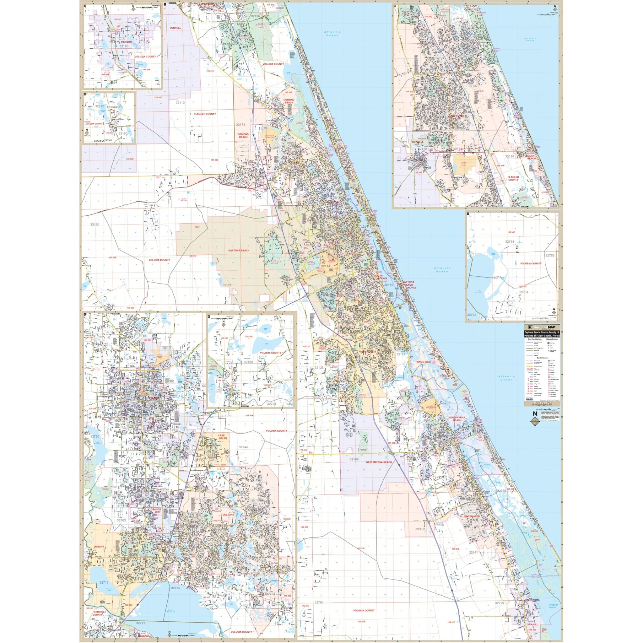
Gainesville & Alachua County, FL Wall Map
Explore the Gainesville and Alachua County, FL Wall Map, a comprehensive resource that provides complete street-level detail for this vibrant area.
This map covers all of Alachua County, including the cities, towns, and localities of Gainesville, Alachua, High Springs, La Crosse, Waldo, Hawthorne, Micanopy, Archer, and Newberry, offering valuable insights into the region's layout.
The coverage area is defined by the following boundaries:
- North: Extending to the Bradford County line.
- South: Stretching to the Marion County line.
- East: Reaching to the Putnam County line.
- West: Extending to the Gilchrist County line.
Key details and features provided on this map include information about airports, block numbers, cemeteries, city limits, educational institutions, government buildings, hospitals, libraries, points of interest, police stations, railroads, range, township, section info, shopping centers, streets and highways, subdivisions, water features, and ZIP code boundaries.
Whether you're a resident, visitor, or business professional in this area, this map is an invaluable tool for navigation and gaining a comprehensive understanding of Alachua County and its surroundings.
Size: 64.5" x 57"
Published: 2009
Product Information
Product Information
Shipping & Returns
Shipping & Returns
Description
Explore the Gainesville and Alachua County, FL Wall Map, a comprehensive resource that provides complete street-level detail for this vibrant area.
This map covers all of Alachua County, including the cities, towns, and localities of Gainesville, Alachua, High Springs, La Crosse, Waldo, Hawthorne, Micanopy, Archer, and Newberry, offering valuable insights into the region's layout.
The coverage area is defined by the following boundaries:
- North: Extending to the Bradford County line.
- South: Stretching to the Marion County line.
- East: Reaching to the Putnam County line.
- West: Extending to the Gilchrist County line.
Key details and features provided on this map include information about airports, block numbers, cemeteries, city limits, educational institutions, government buildings, hospitals, libraries, points of interest, police stations, railroads, range, township, section info, shopping centers, streets and highways, subdivisions, water features, and ZIP code boundaries.
Whether you're a resident, visitor, or business professional in this area, this map is an invaluable tool for navigation and gaining a comprehensive understanding of Alachua County and its surroundings.
Size: 64.5" x 57"
Published: 2009