


Lakeland, Winterhaven & Polk County, FL Wall Map
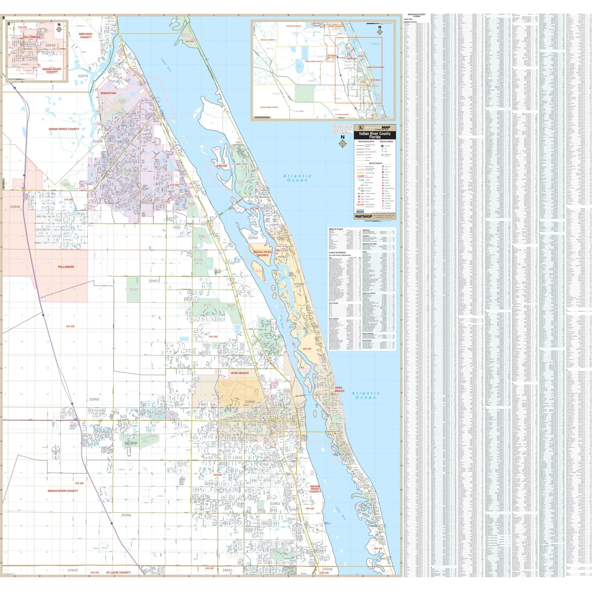
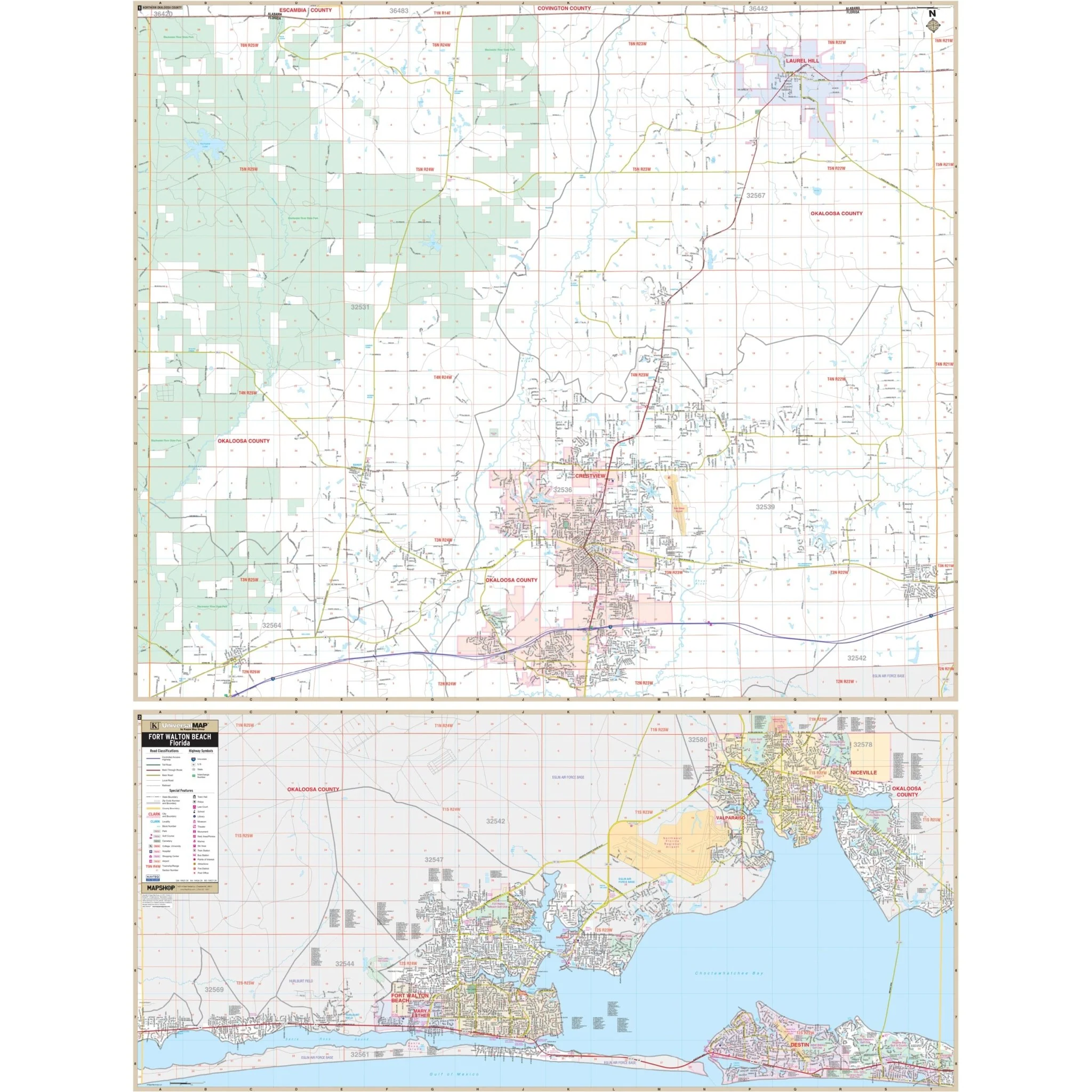
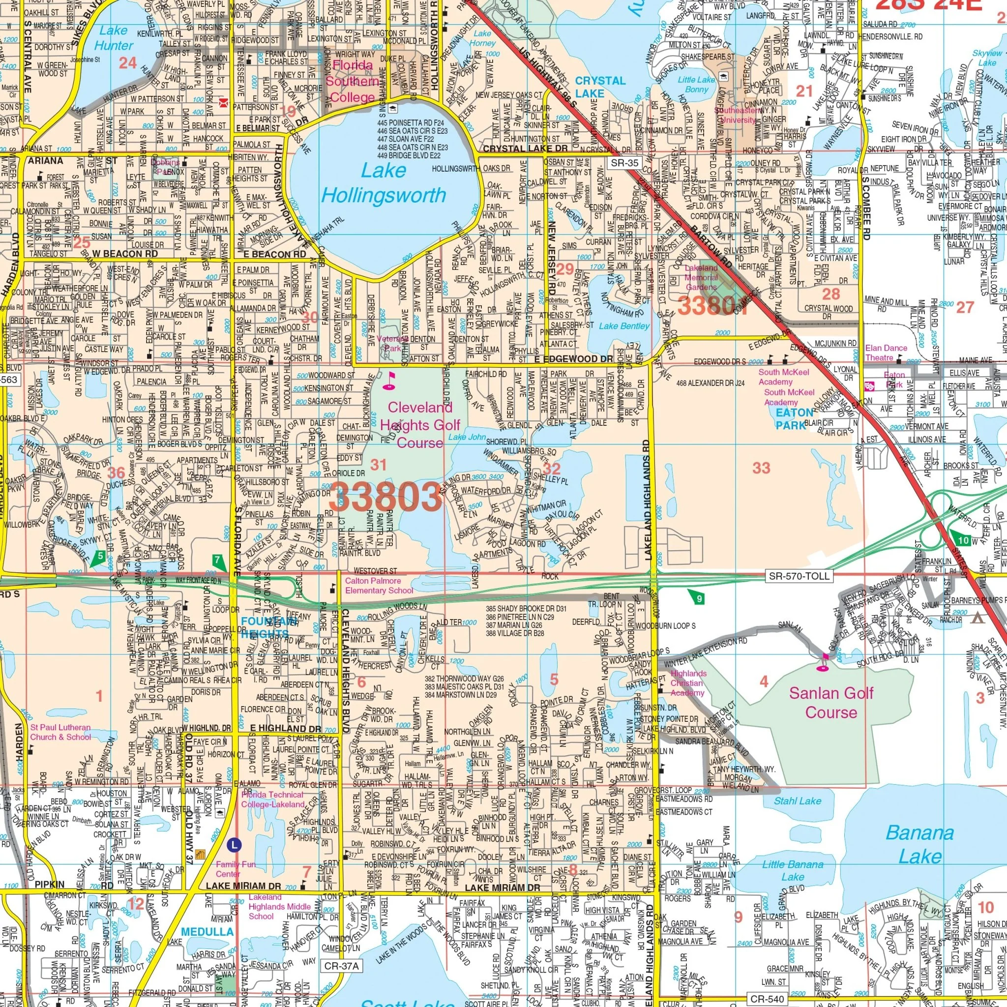
Introducing the Polk County, Lakeland, and Winter Haven, FL Wall Map, offering comprehensive street detail with a scale of 1:41,440 or 1"=3,453". This map covers the vibrant locales of Lakeland and Winter Haven within Polk County, and its boundaries encompass:
- To the north, it extends up to Deen Still Road.
- To the south, it reaches the Highland and Hardee County lines.
- To the east, it encompasses areas up to Poinciana, Lake Hatchineha, and Lake Weohyakapka.
- To the west, it stretches to the Hillsborough County line.
This map also includes informative insets, featuring a vicinity map of Polk County and a depiction of Northern Polk County along US 27, extending to the Lake County line.
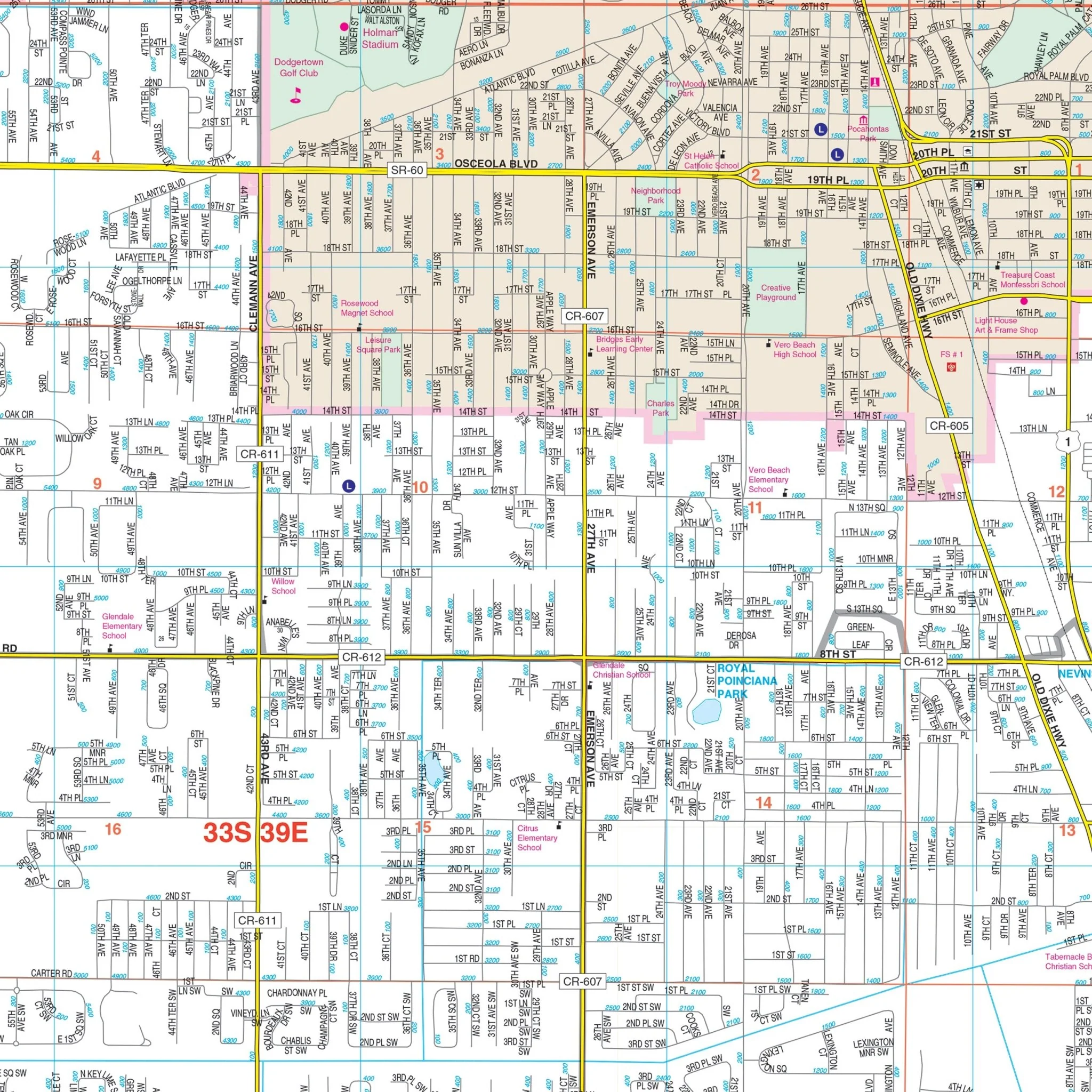
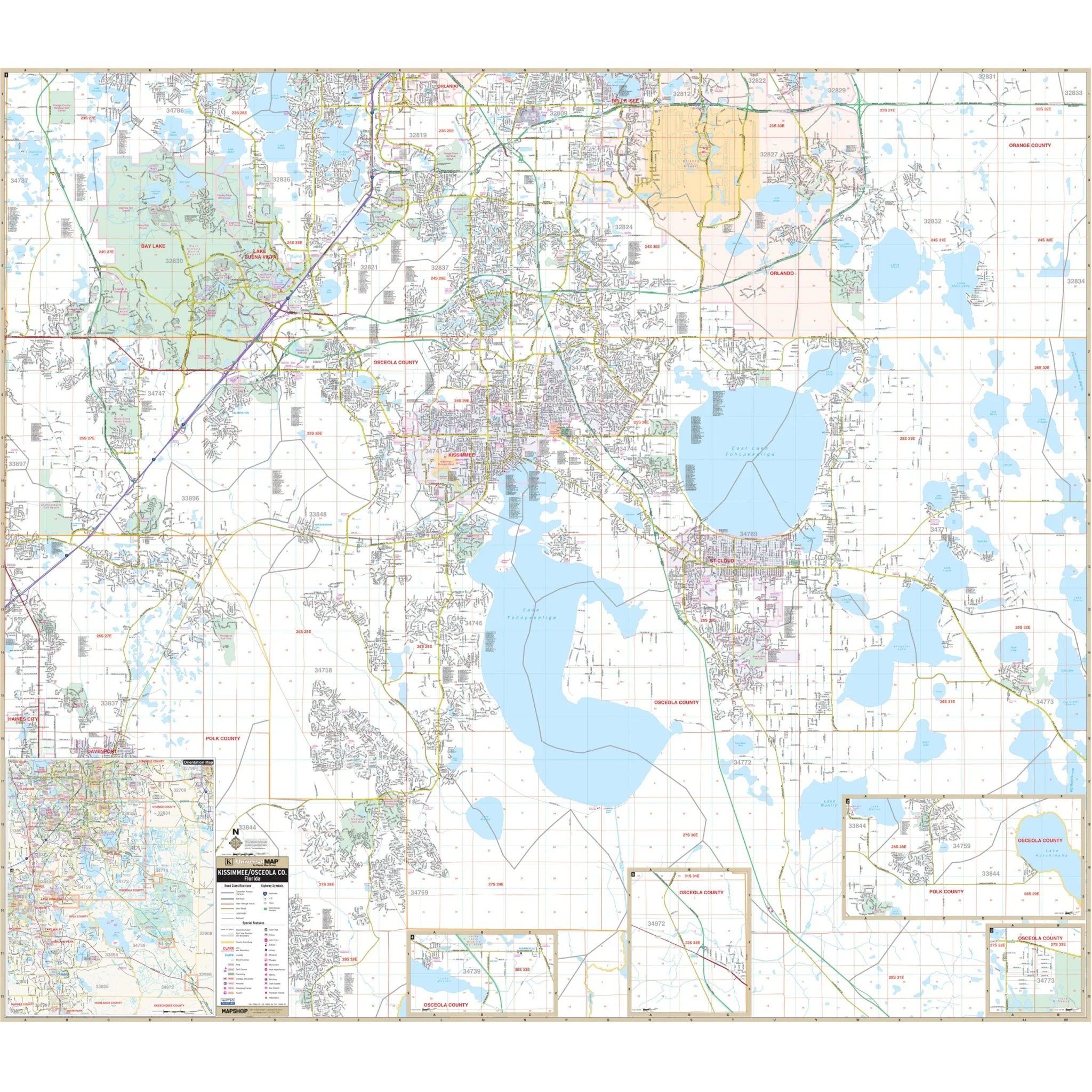
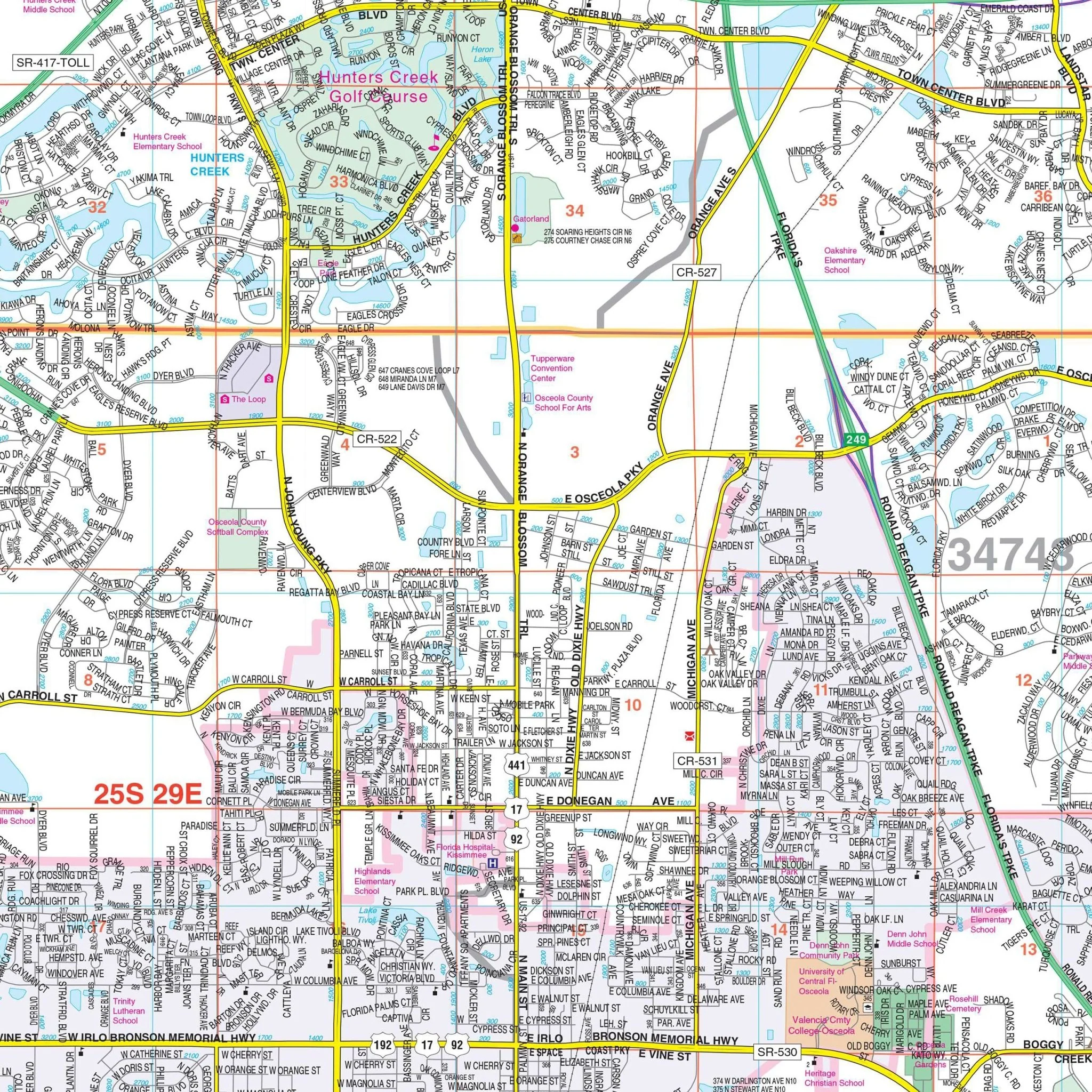
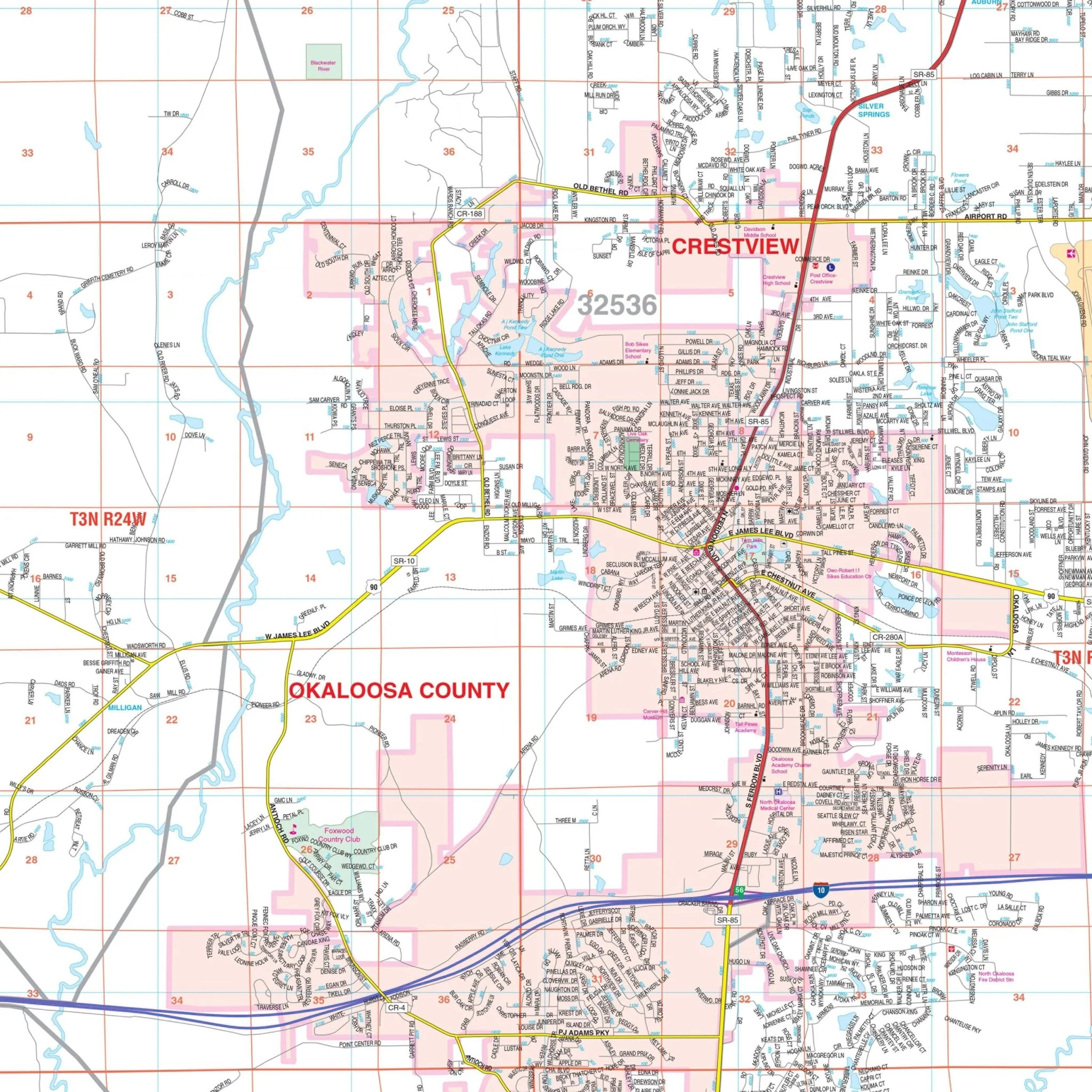
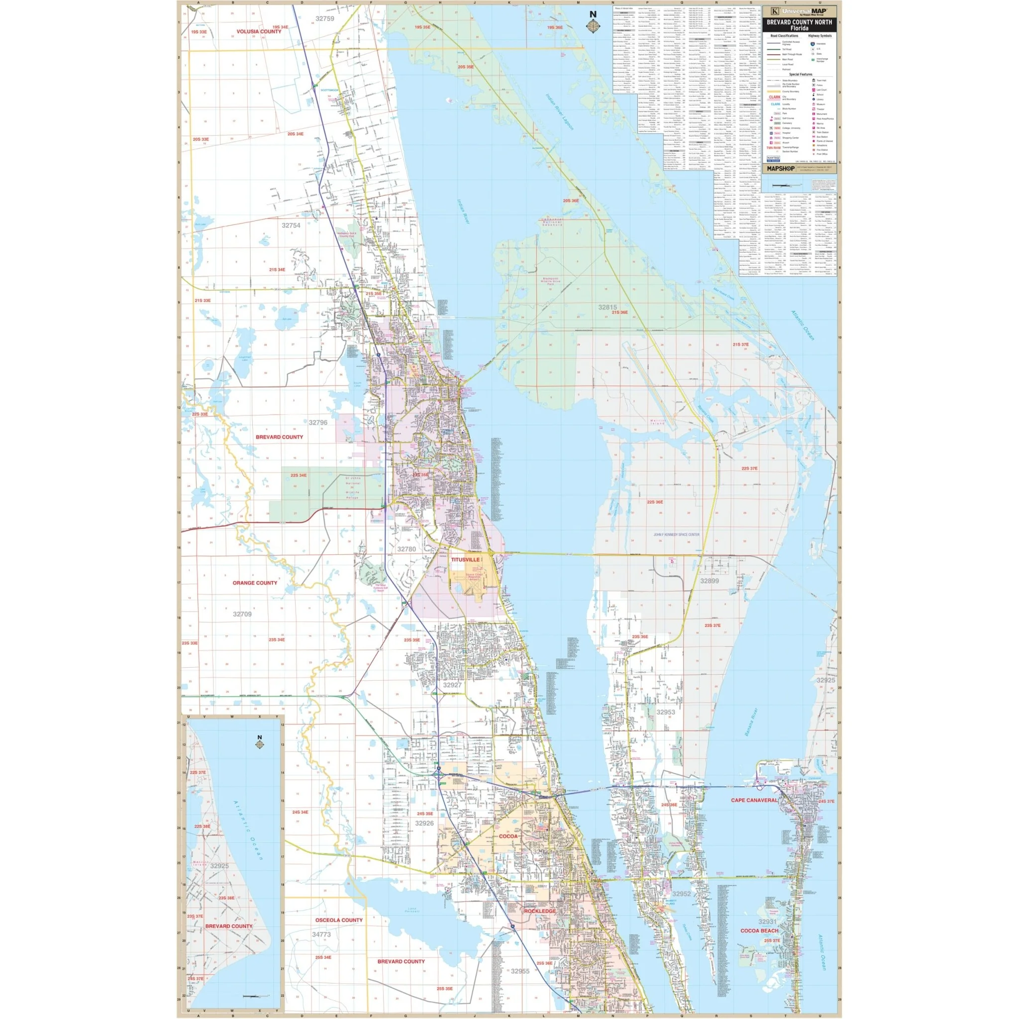
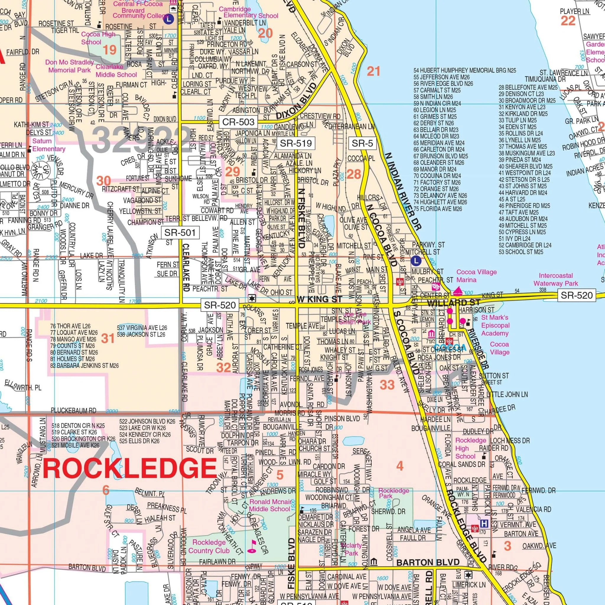
Within this map, you'll discover a wealth of essential information, including detailed representations of streets and highways, government buildings, airports, water features, police stations, hospitals, shopping centers, educational institutions, railroads, recreational parks, golf and country clubs, cemeteries, ZIP codes and their boundaries, city limits and annexations, libraries, block numbers, as well as section/township/range lines and numbers.
Size: 69" x 76.5"
Published: 2015
Original: $159.99
-70%$159.99
$48.00Product Information
Product Information
Shipping & Returns
Shipping & Returns
Description
Introducing the Polk County, Lakeland, and Winter Haven, FL Wall Map, offering comprehensive street detail with a scale of 1:41,440 or 1"=3,453". This map covers the vibrant locales of Lakeland and Winter Haven within Polk County, and its boundaries encompass:
- To the north, it extends up to Deen Still Road.
- To the south, it reaches the Highland and Hardee County lines.
- To the east, it encompasses areas up to Poinciana, Lake Hatchineha, and Lake Weohyakapka.
- To the west, it stretches to the Hillsborough County line.
This map also includes informative insets, featuring a vicinity map of Polk County and a depiction of Northern Polk County along US 27, extending to the Lake County line.
Within this map, you'll discover a wealth of essential information, including detailed representations of streets and highways, government buildings, airports, water features, police stations, hospitals, shopping centers, educational institutions, railroads, recreational parks, golf and country clubs, cemeteries, ZIP codes and their boundaries, city limits and annexations, libraries, block numbers, as well as section/township/range lines and numbers.
Size: 69" x 76.5"
Published: 2015