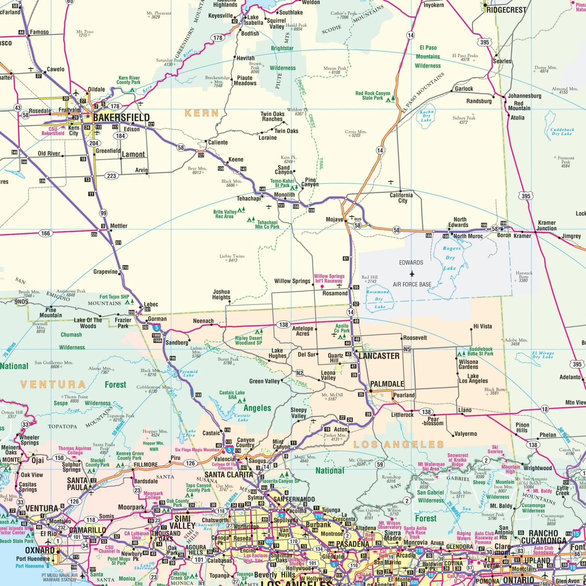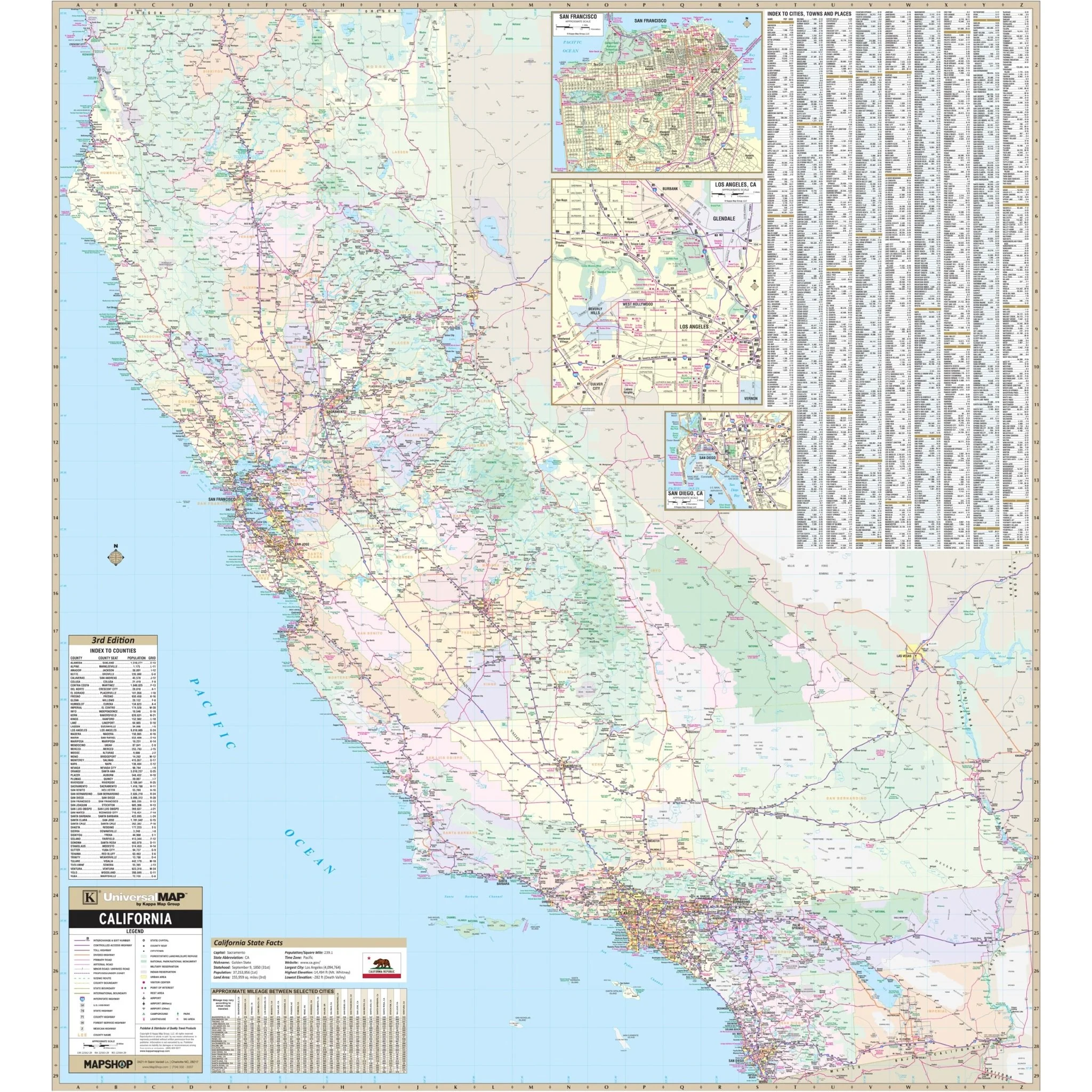


Los Angeles, Ventura & Orange Counties Wall Map
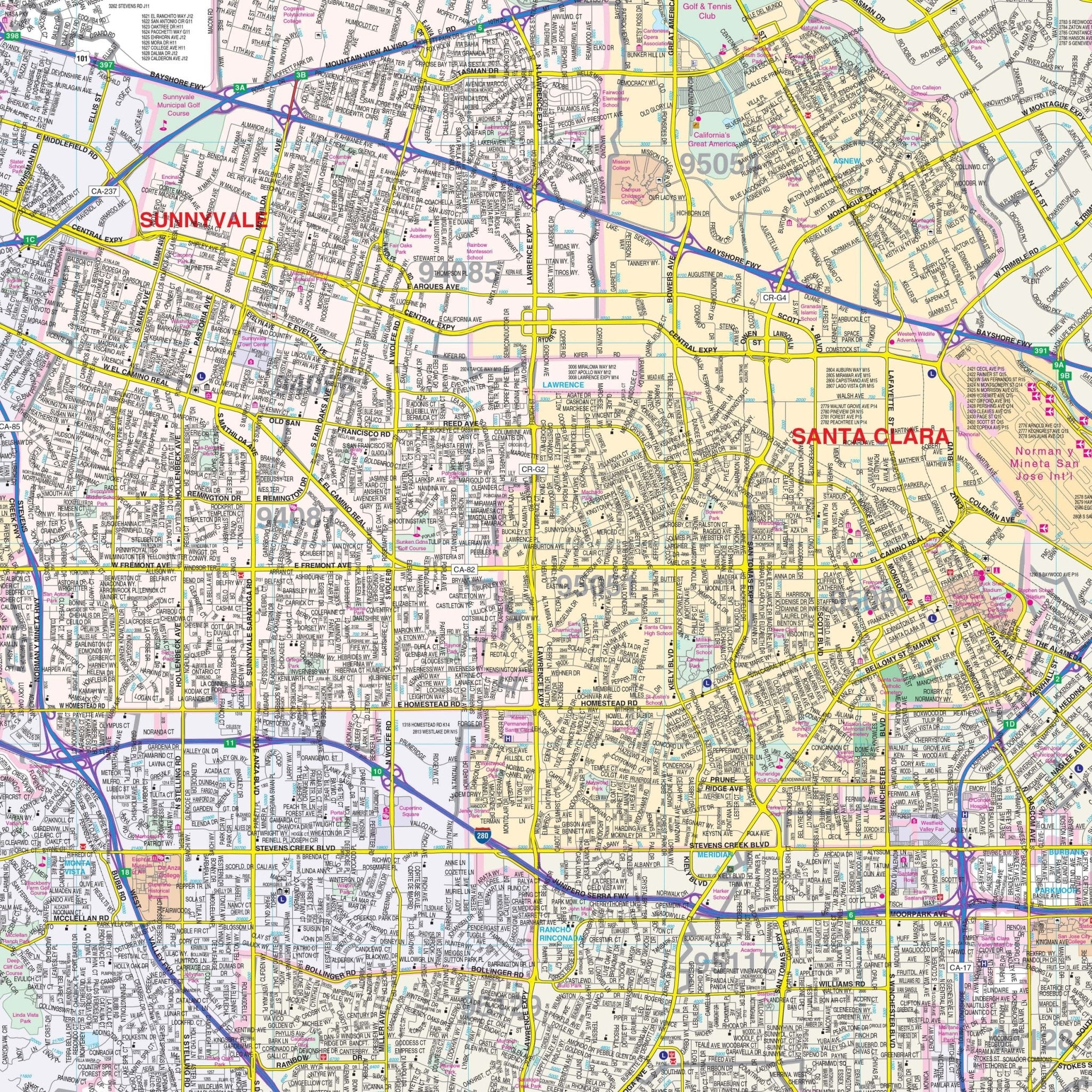
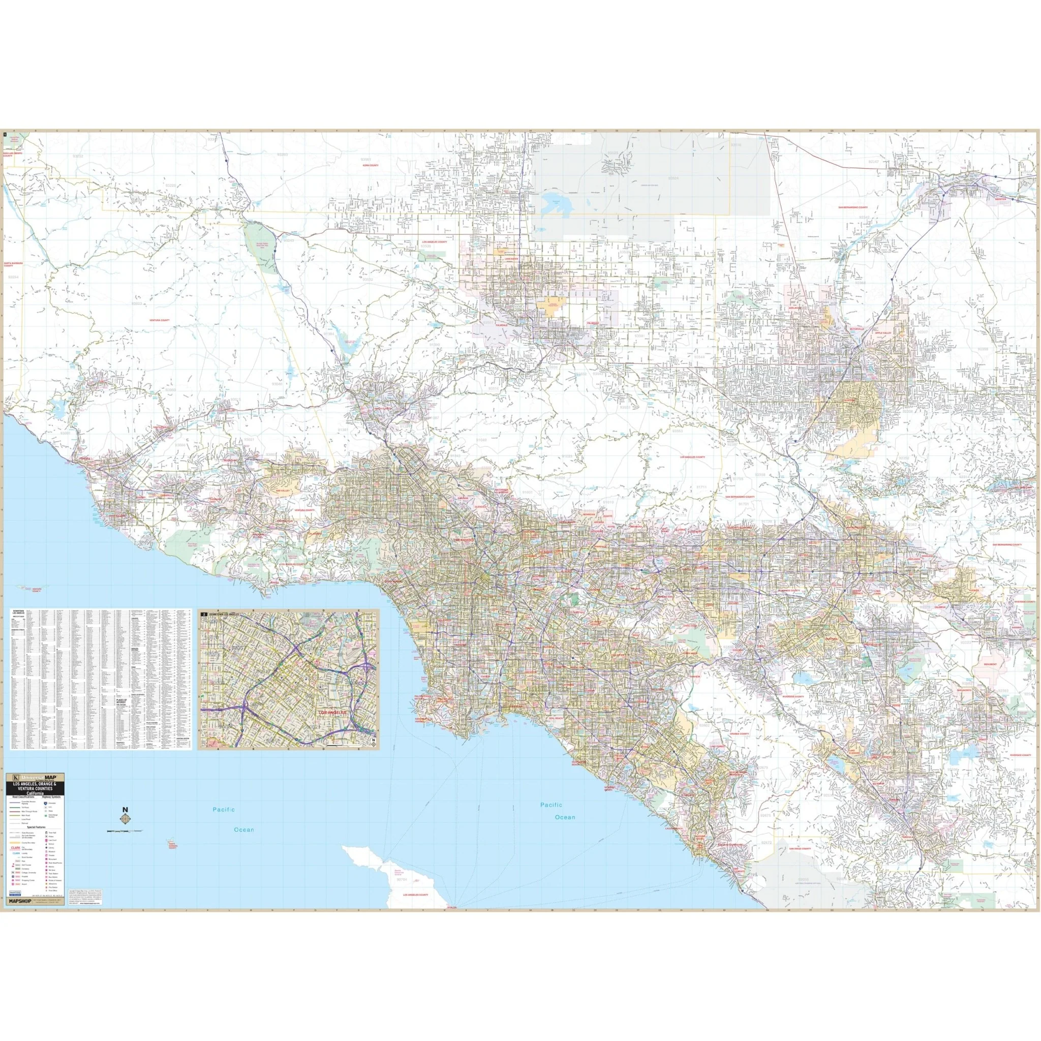
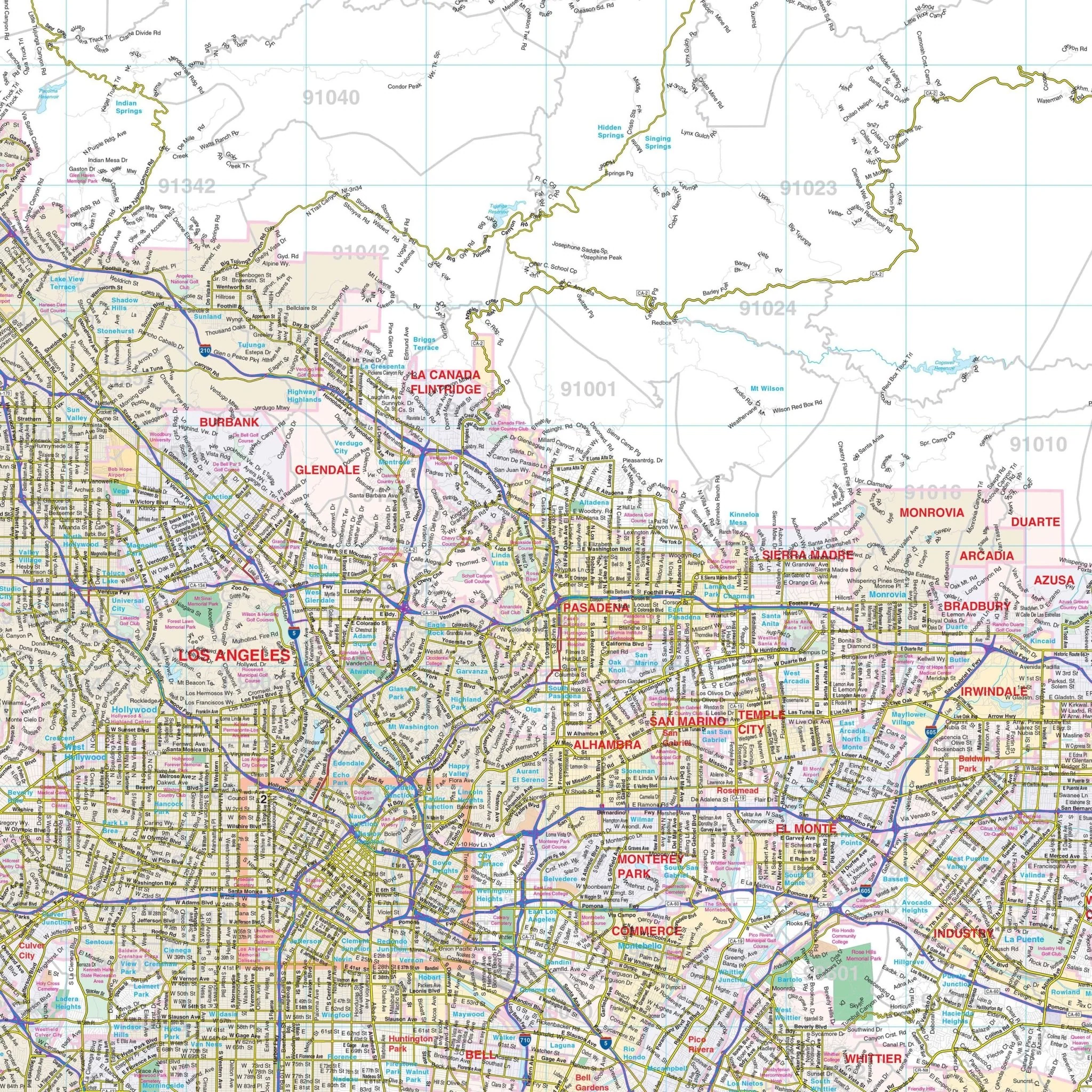
Explore the comprehensive Los Angeles, Orange, and Ventura Counties, CA Wall Map, covering adjacent areas and offering complete street detail.
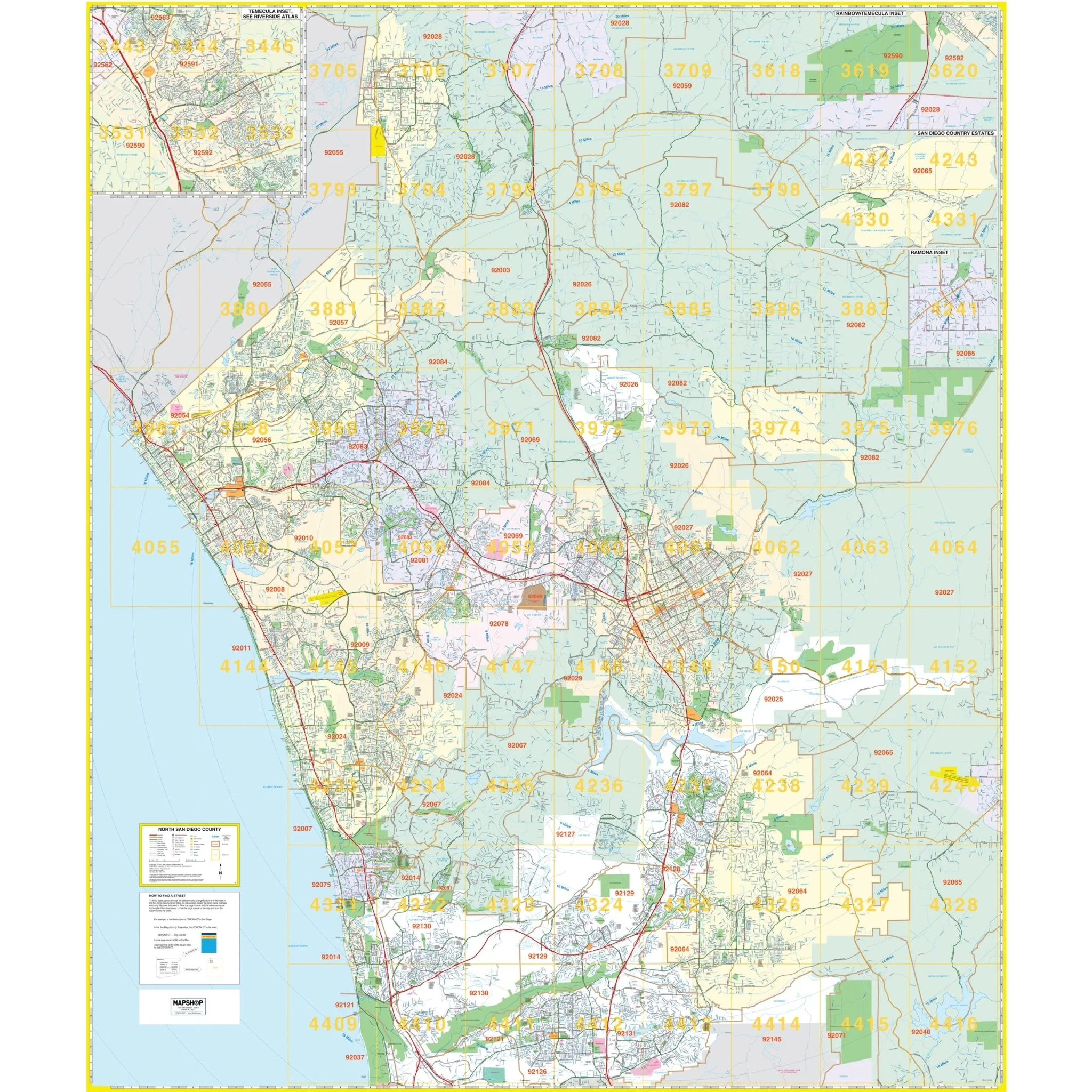
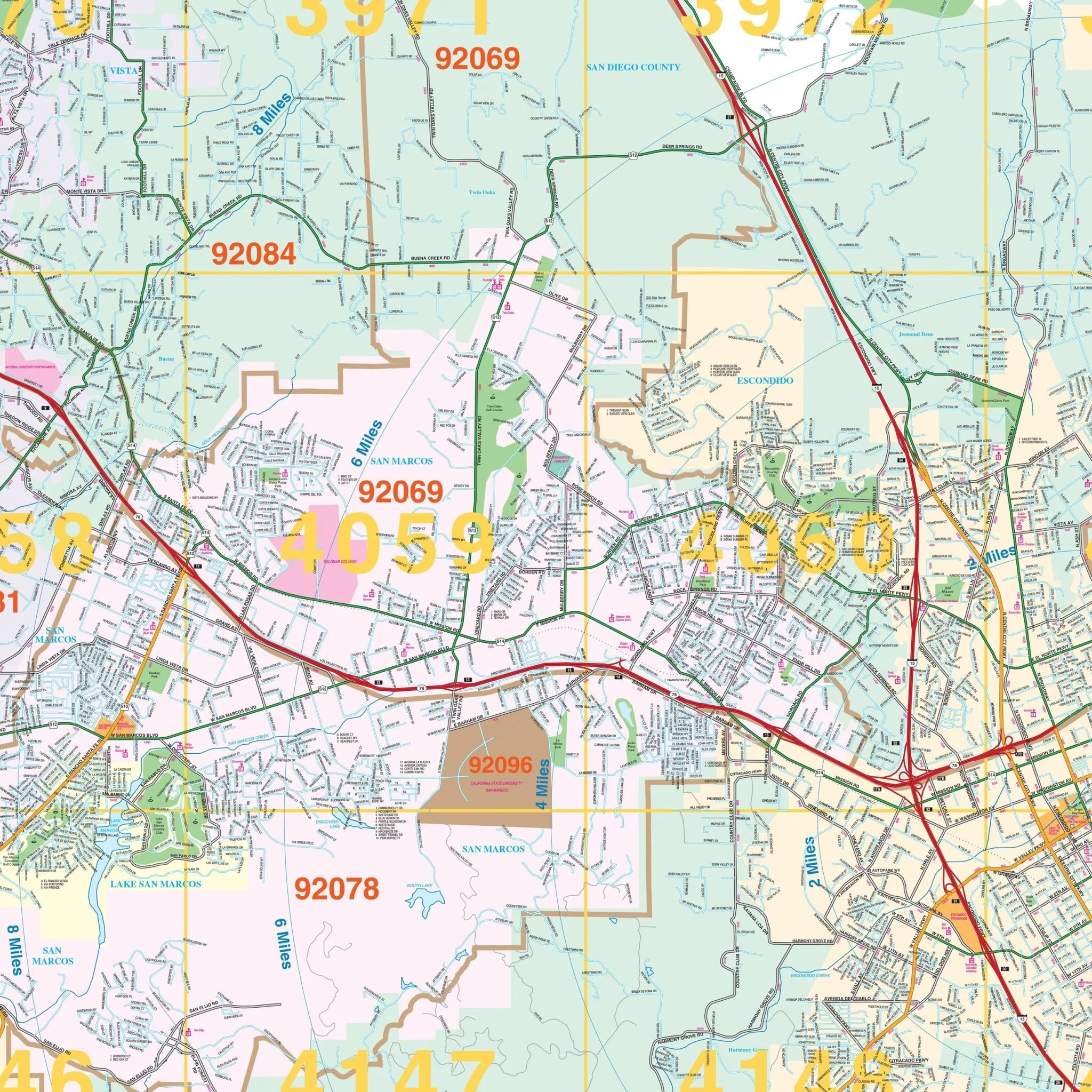
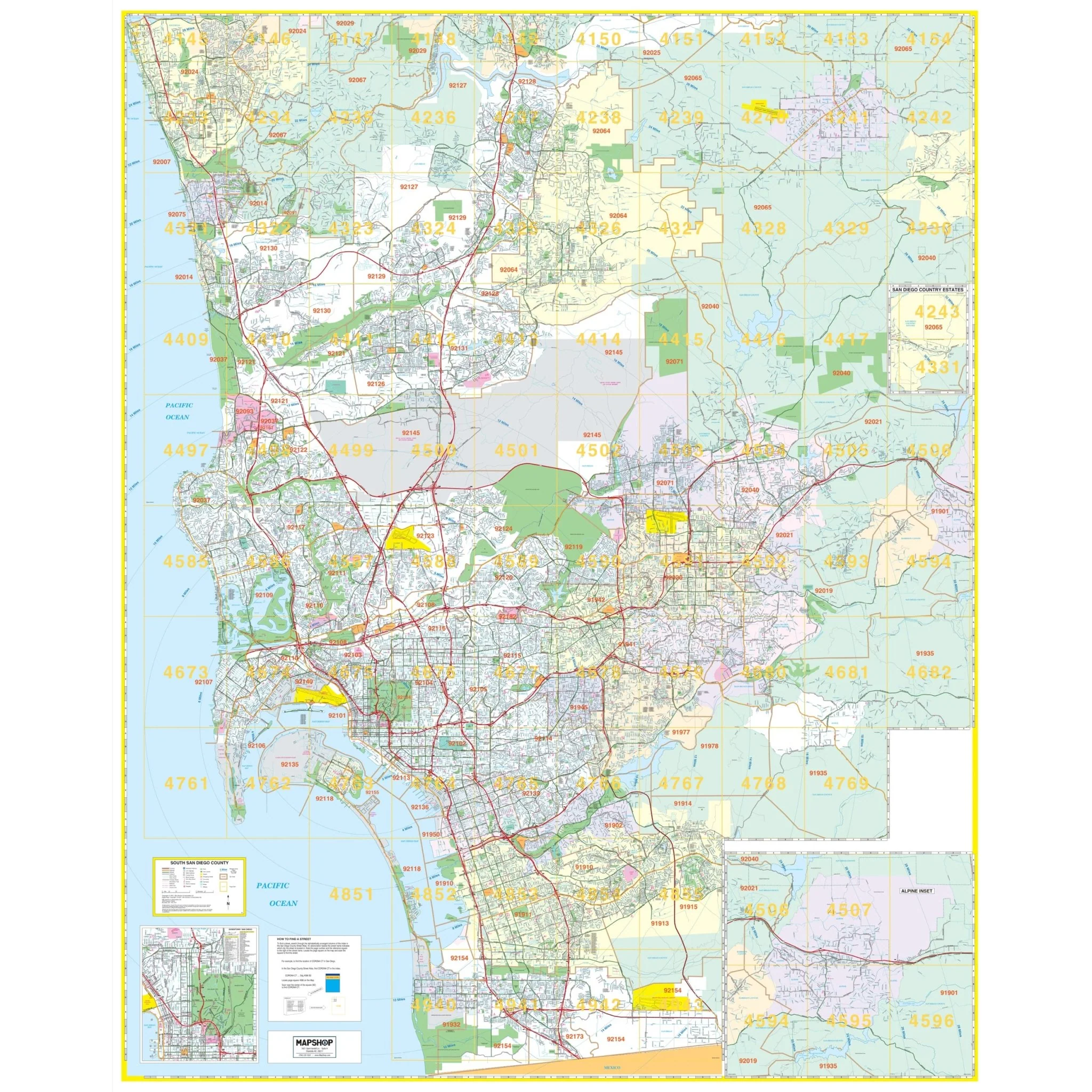
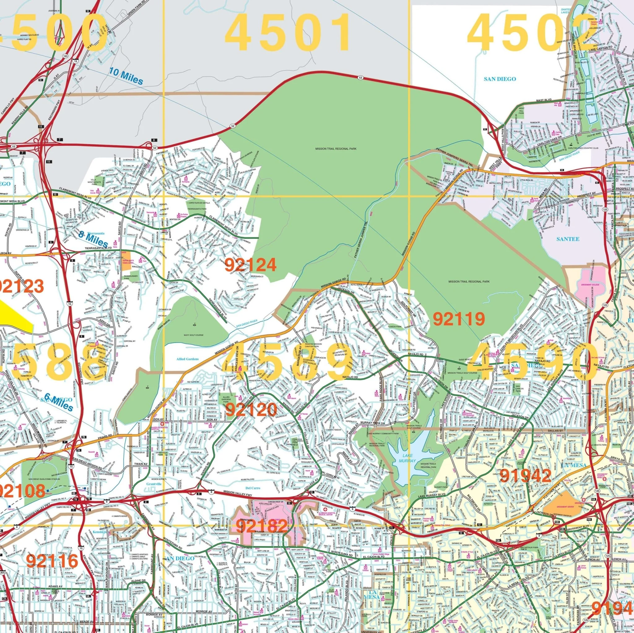
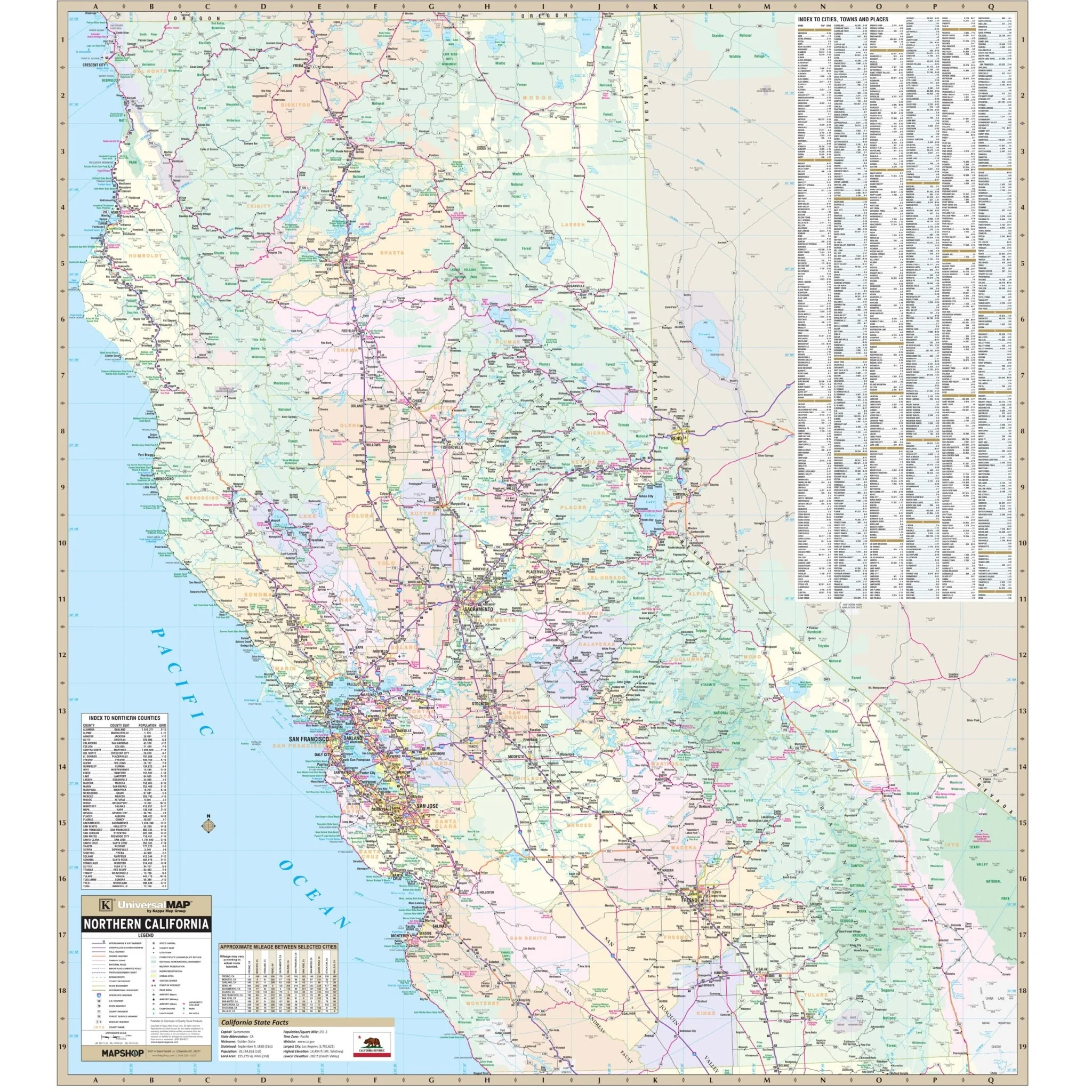
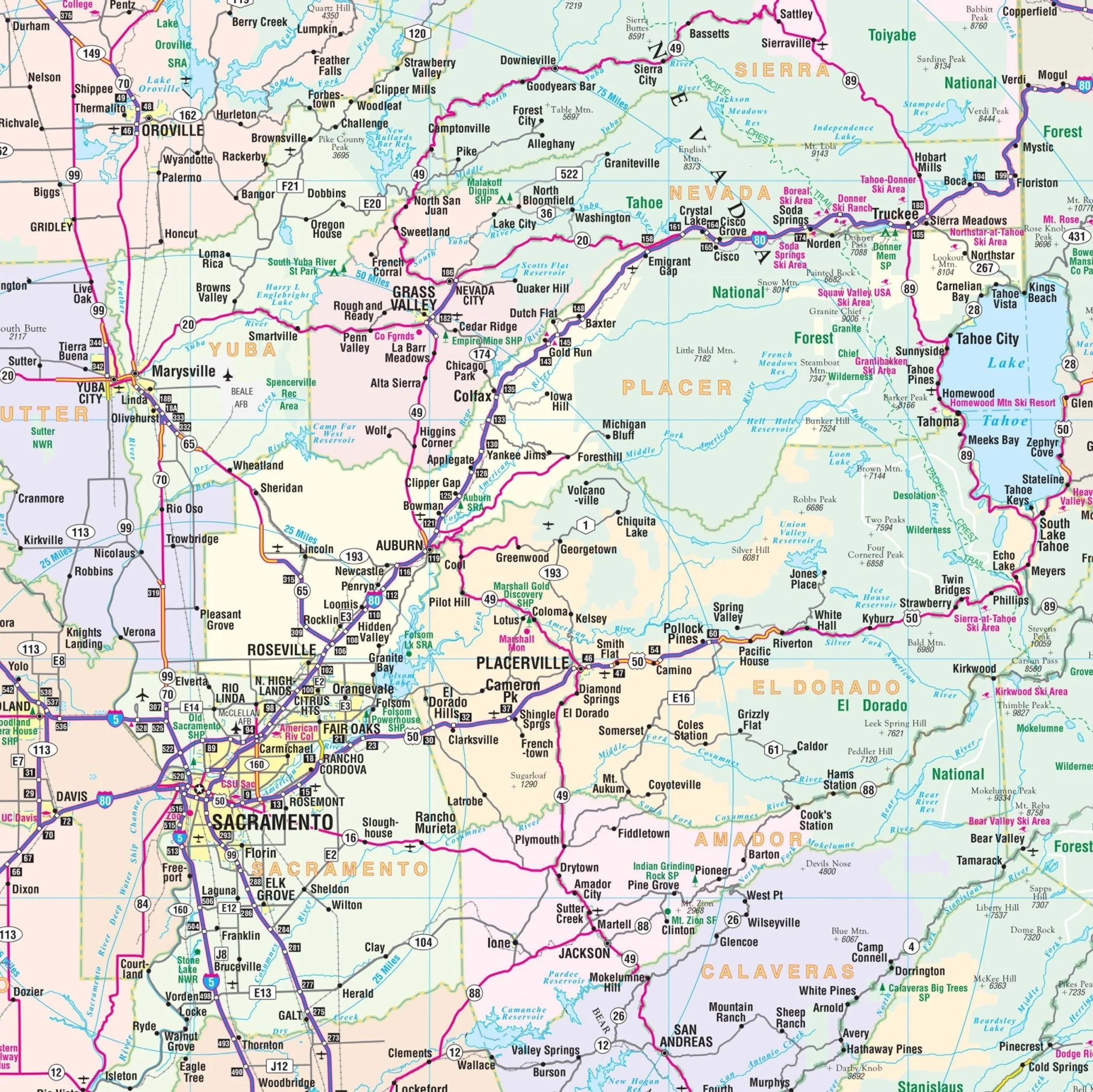
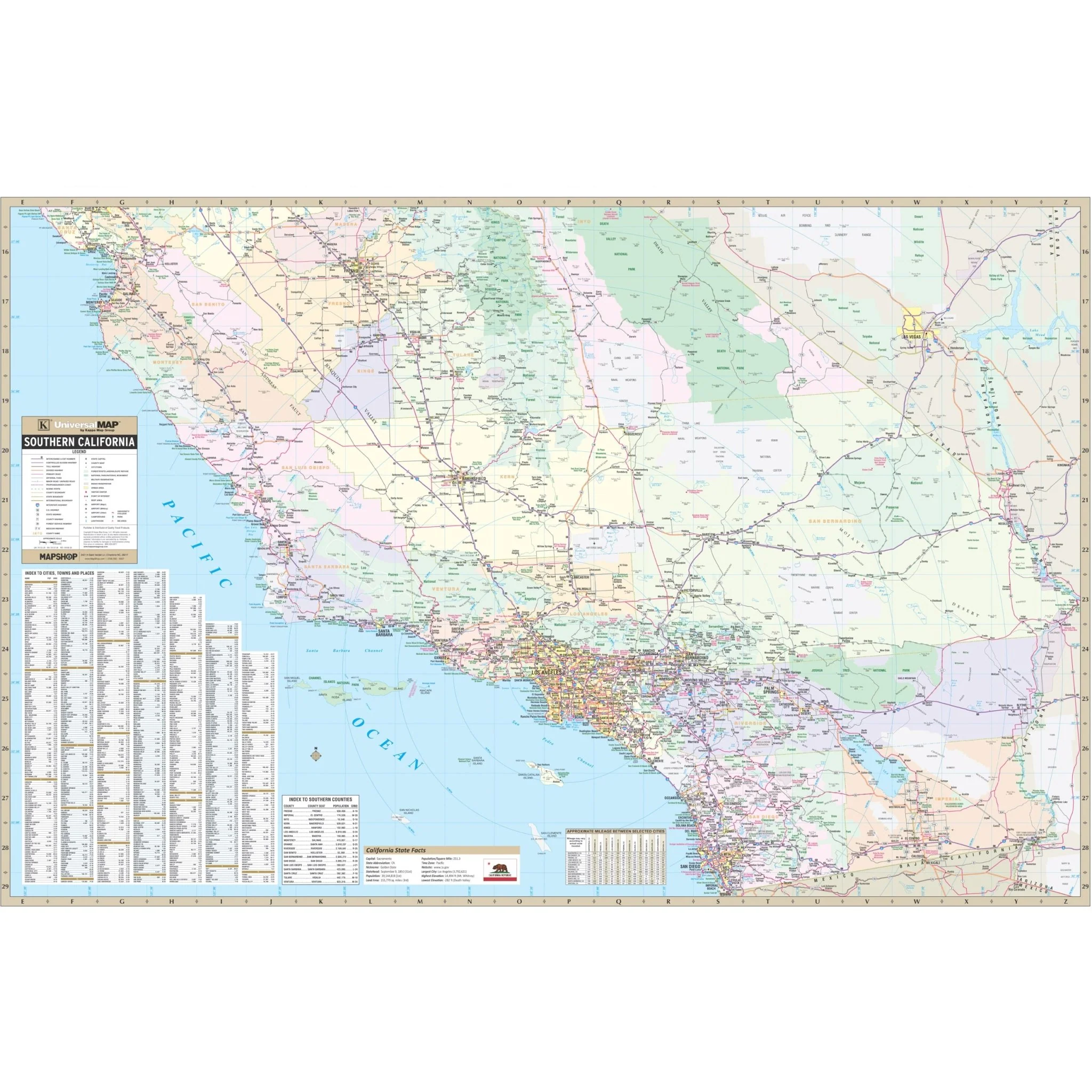
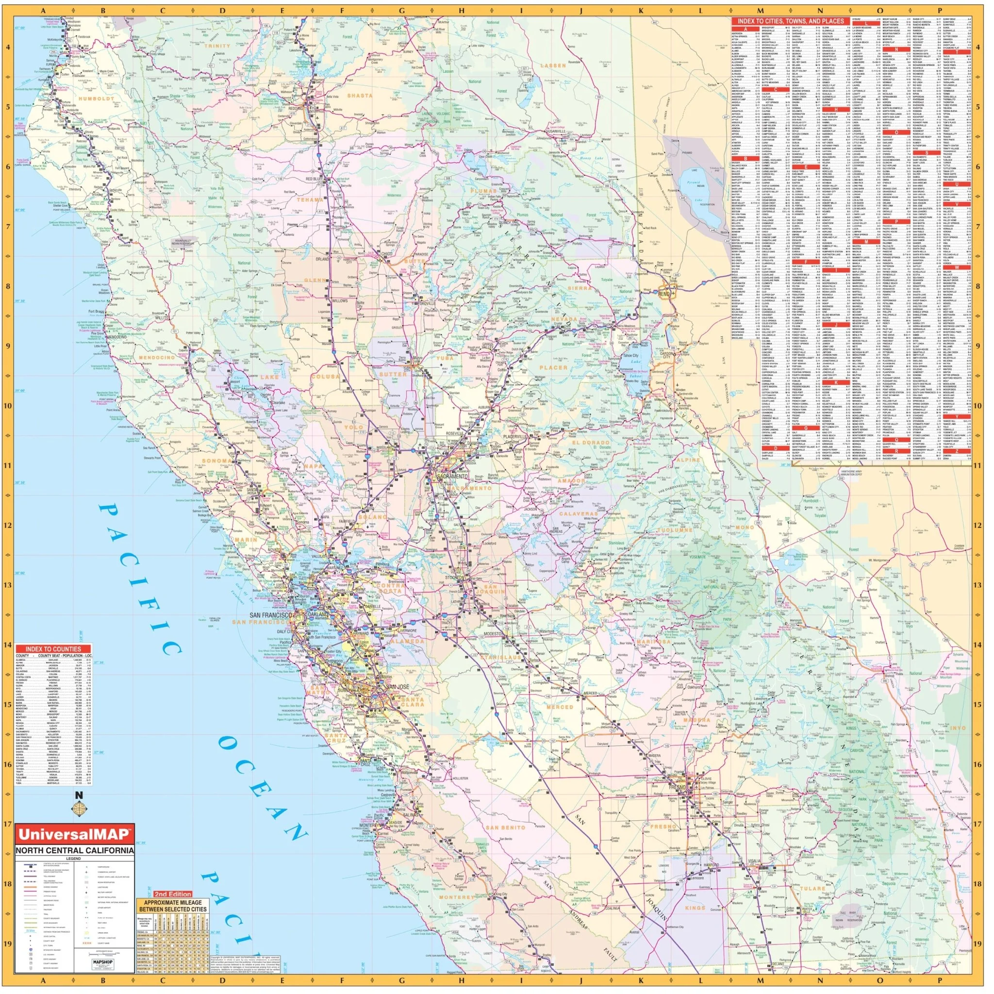
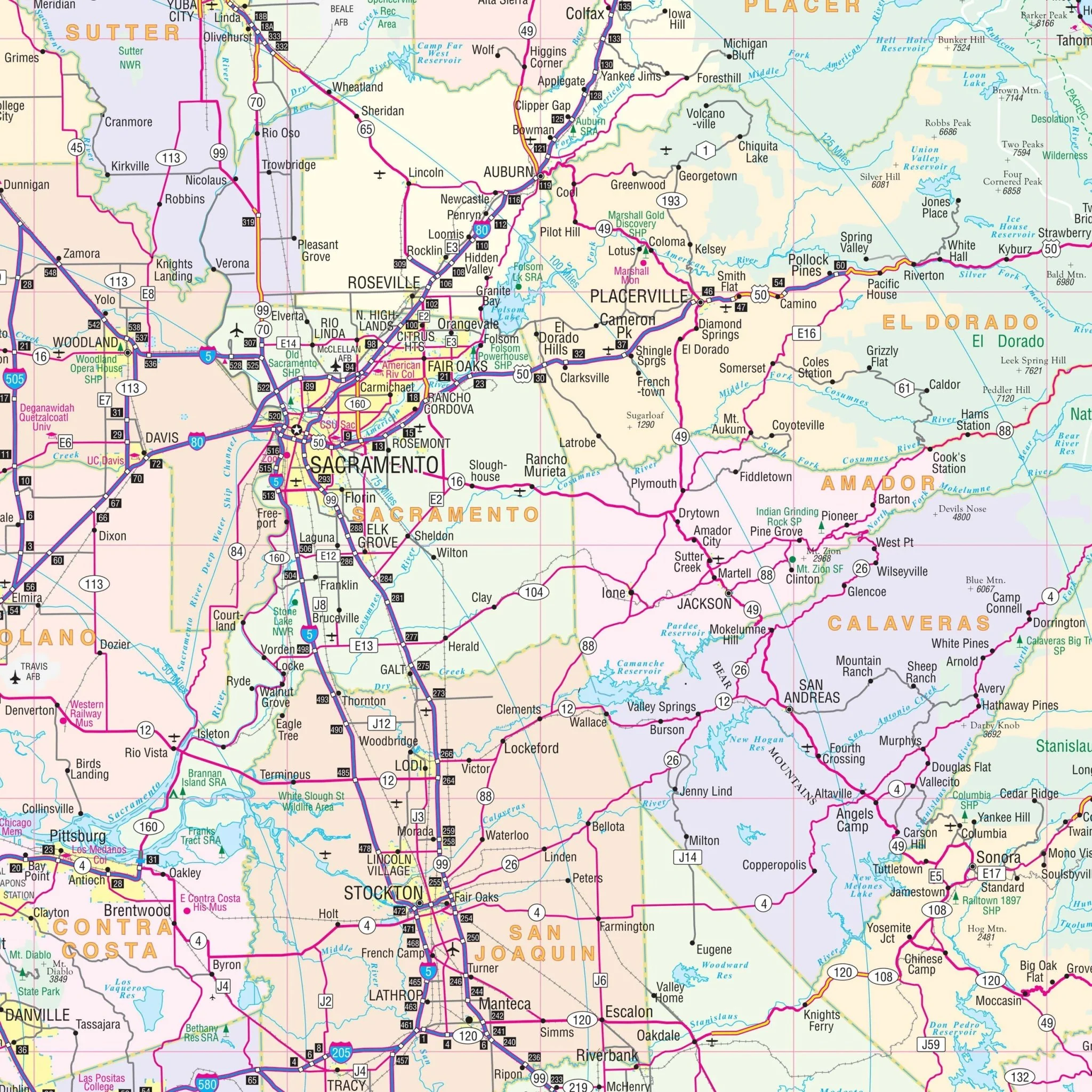
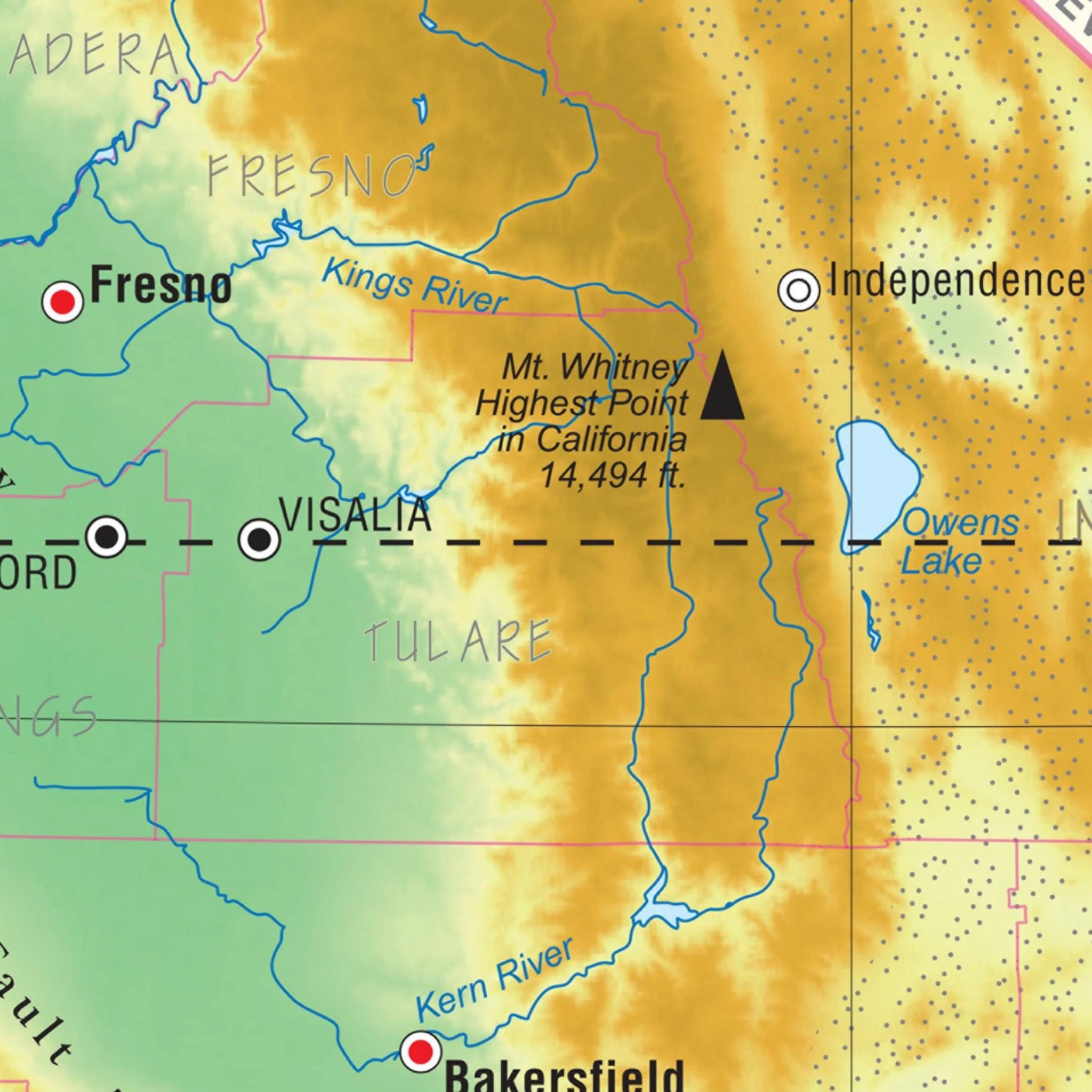
This map provides coverage extending from north to Kern County and Barstow in San Bernardino County, south to the San Diego County line, east to Hemet in Riverside County, and west to the Santa Barbara-Ventura County line.
Key details and features encompass streets, airports, government buildings, post offices, cemeteries, fire and police stations, hospitals, shopping centers, educational institutions, railroads, water features, golf and country clubs, mileage circles, recreational parks, ZIP codes, and block numbers.
Size: 75" x 57"
Published: 2013
Product Information
Product Information
Shipping & Returns
Shipping & Returns
Description
Explore the comprehensive Los Angeles, Orange, and Ventura Counties, CA Wall Map, covering adjacent areas and offering complete street detail.
This map provides coverage extending from north to Kern County and Barstow in San Bernardino County, south to the San Diego County line, east to Hemet in Riverside County, and west to the Santa Barbara-Ventura County line.
Key details and features encompass streets, airports, government buildings, post offices, cemeteries, fire and police stations, hospitals, shopping centers, educational institutions, railroads, water features, golf and country clubs, mileage circles, recreational parks, ZIP codes, and block numbers.
Size: 75" x 57"
Published: 2013