


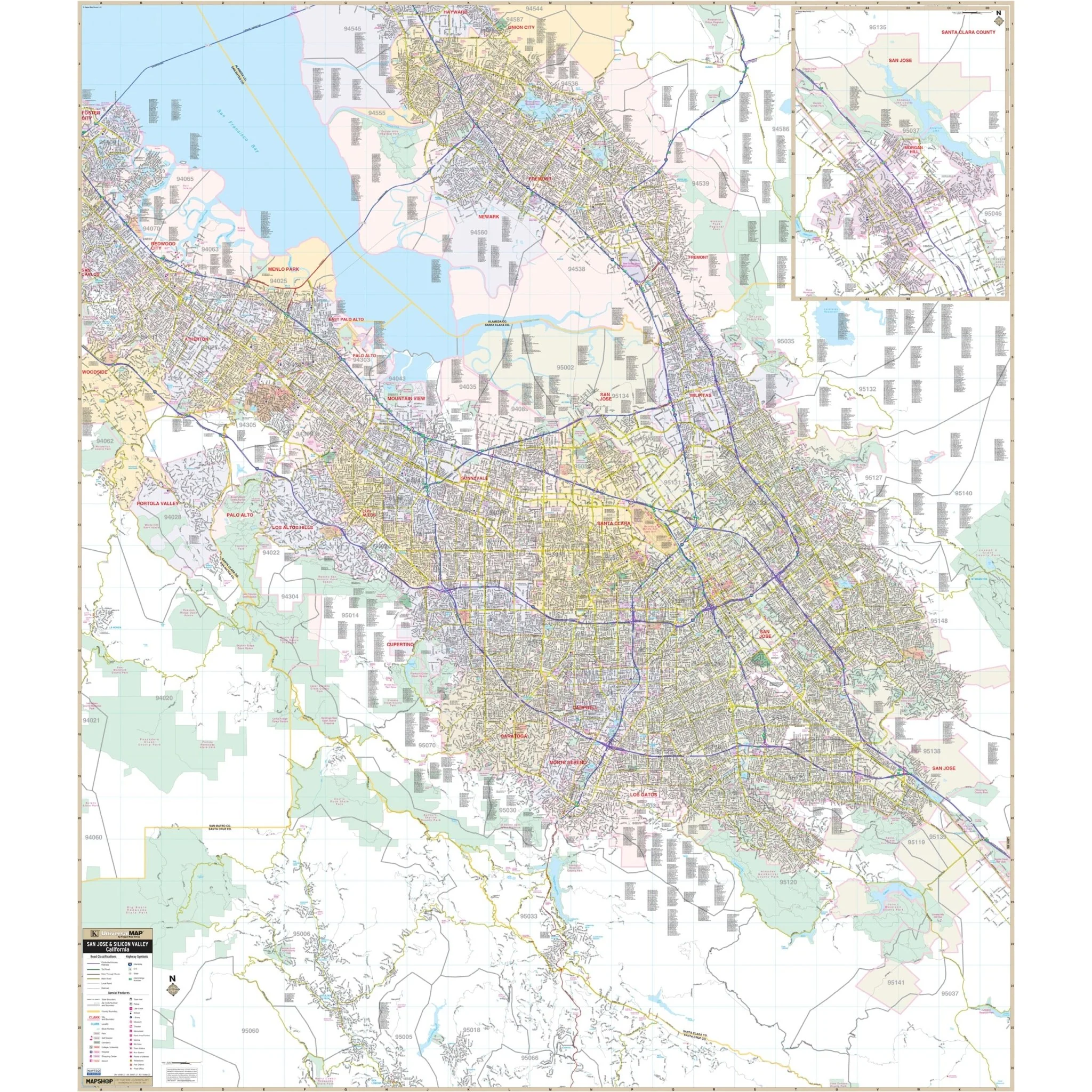

San Jose & Silicon Valley, CA Wall Map
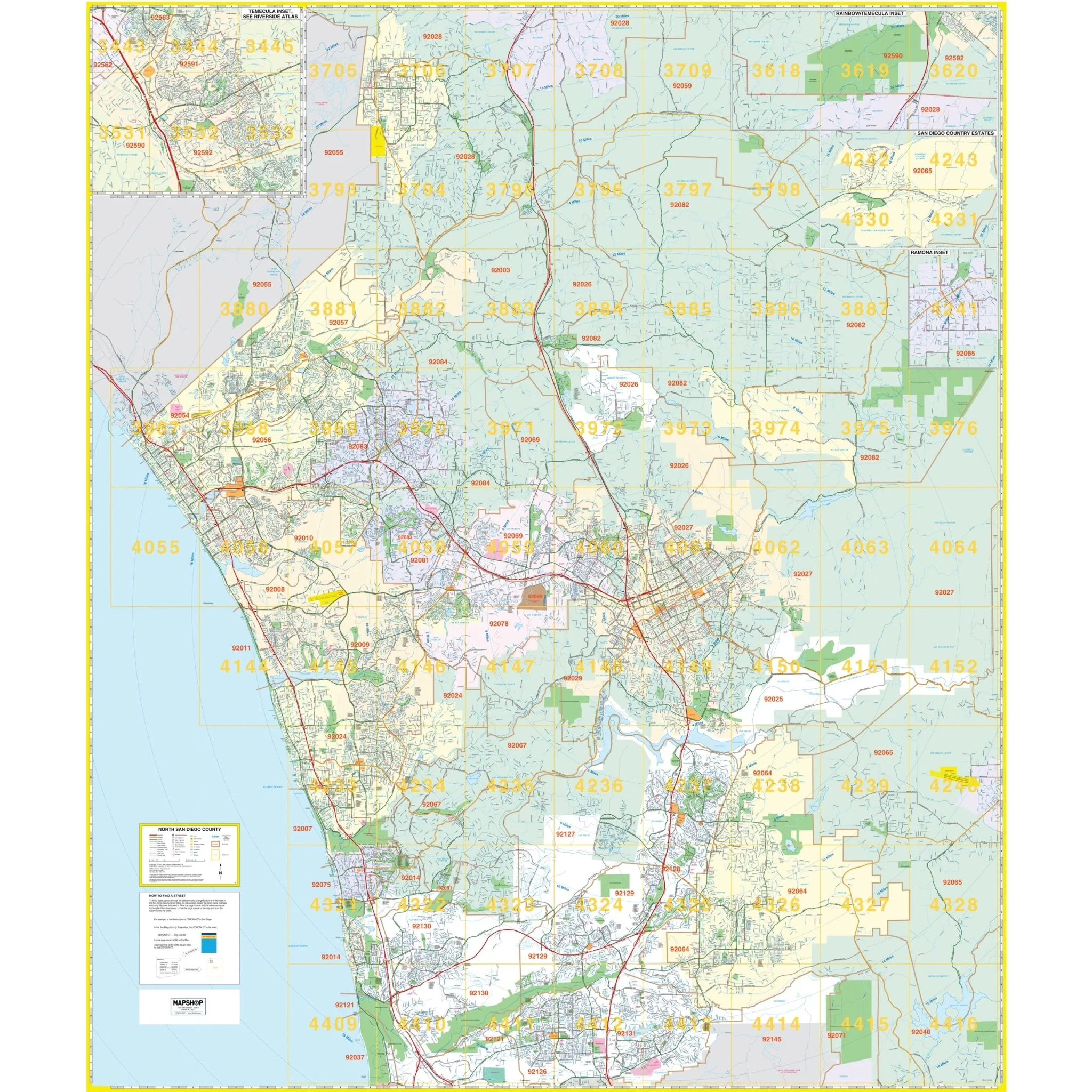
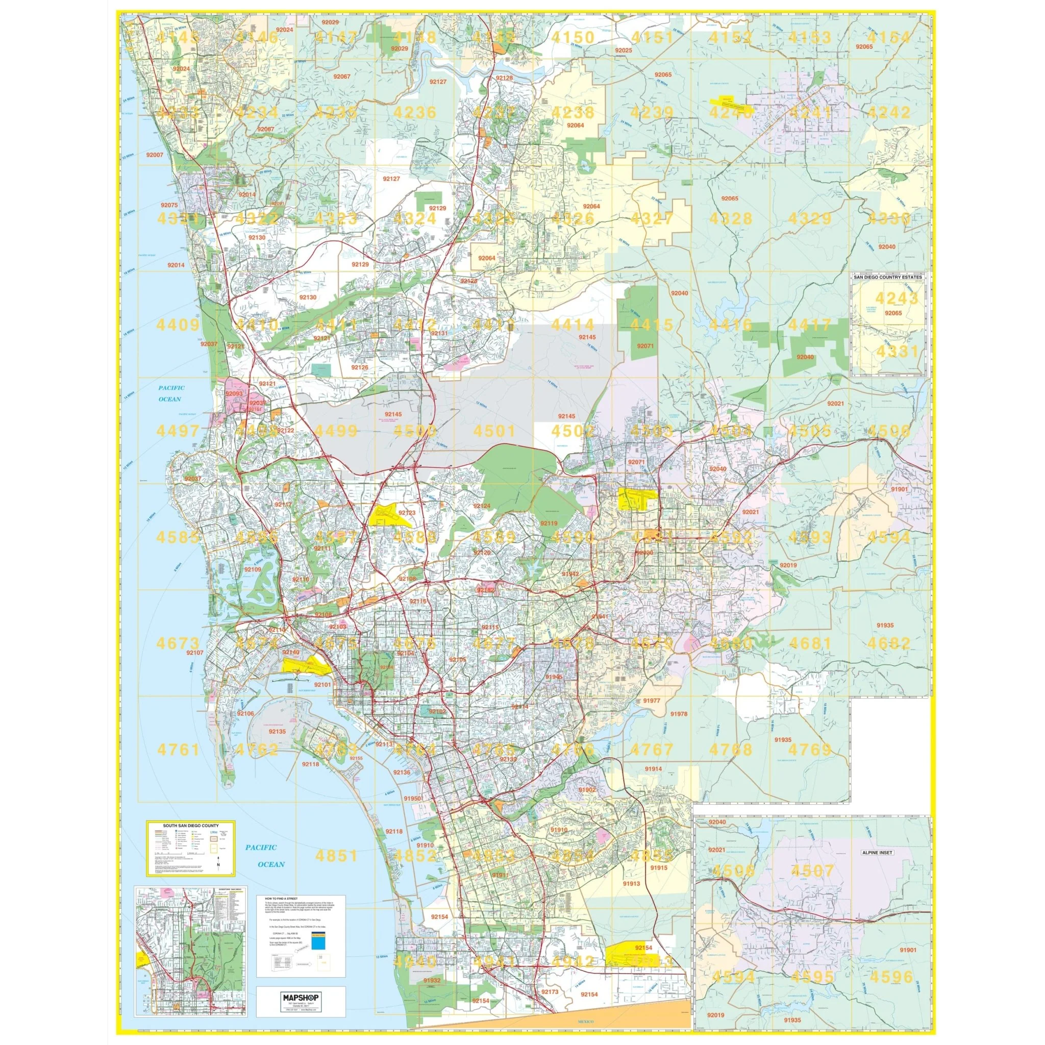
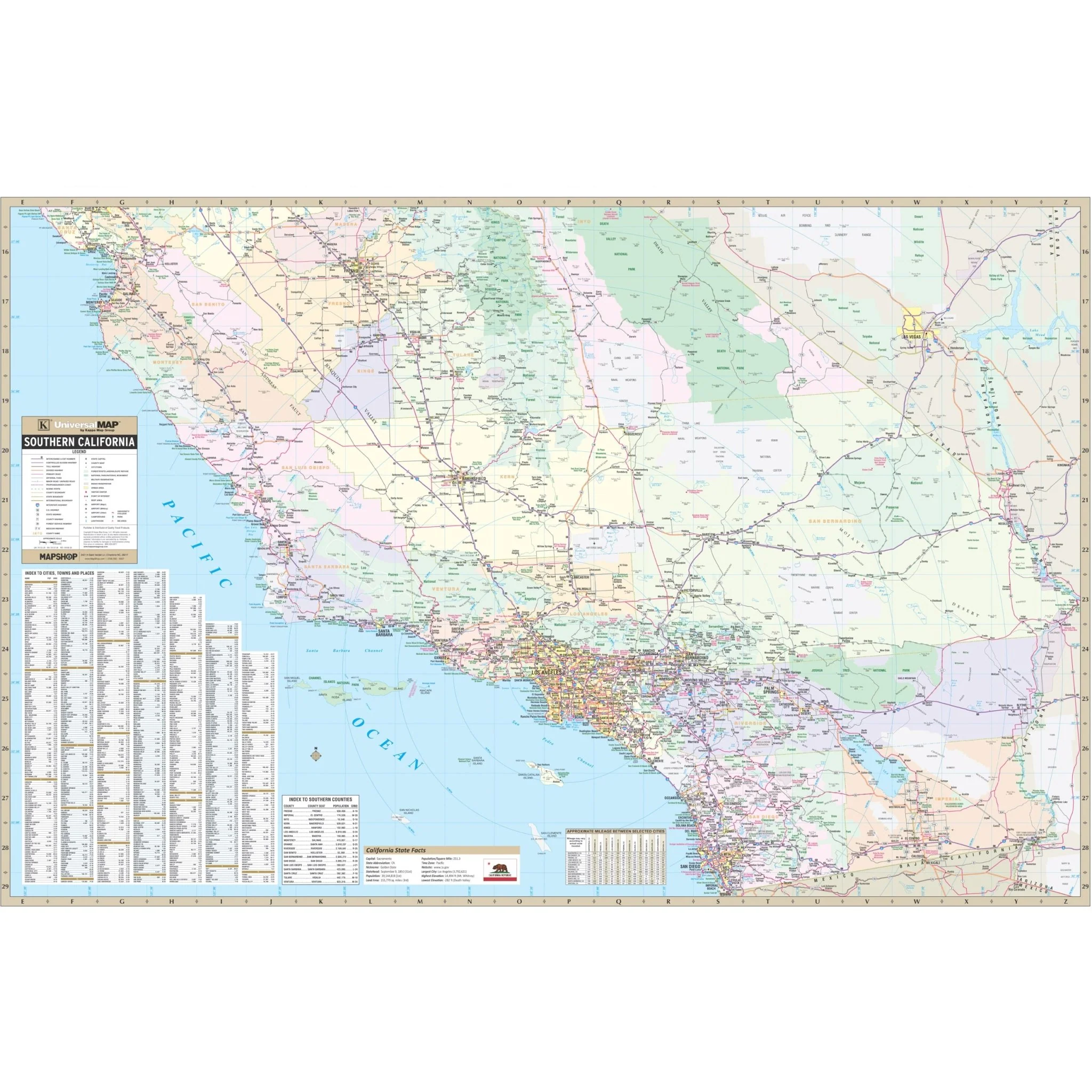
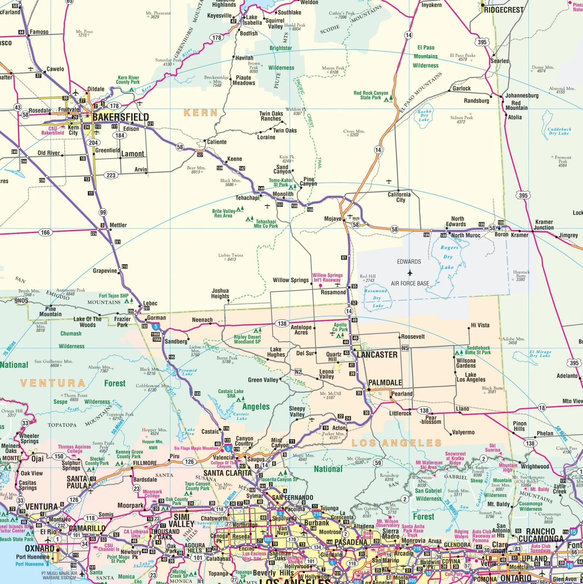
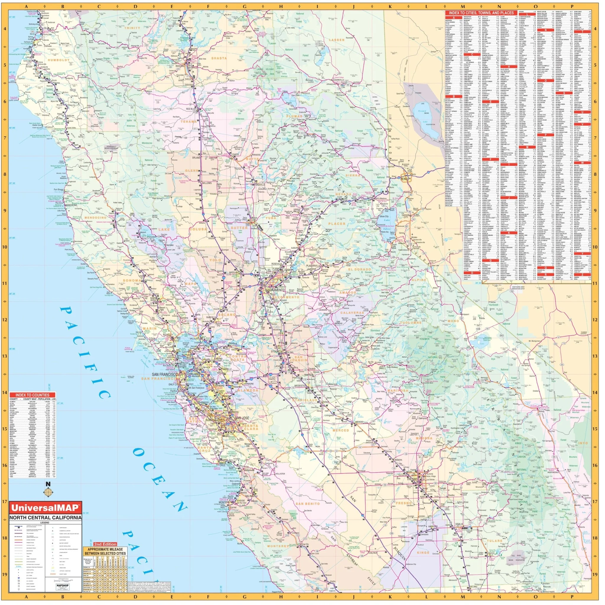
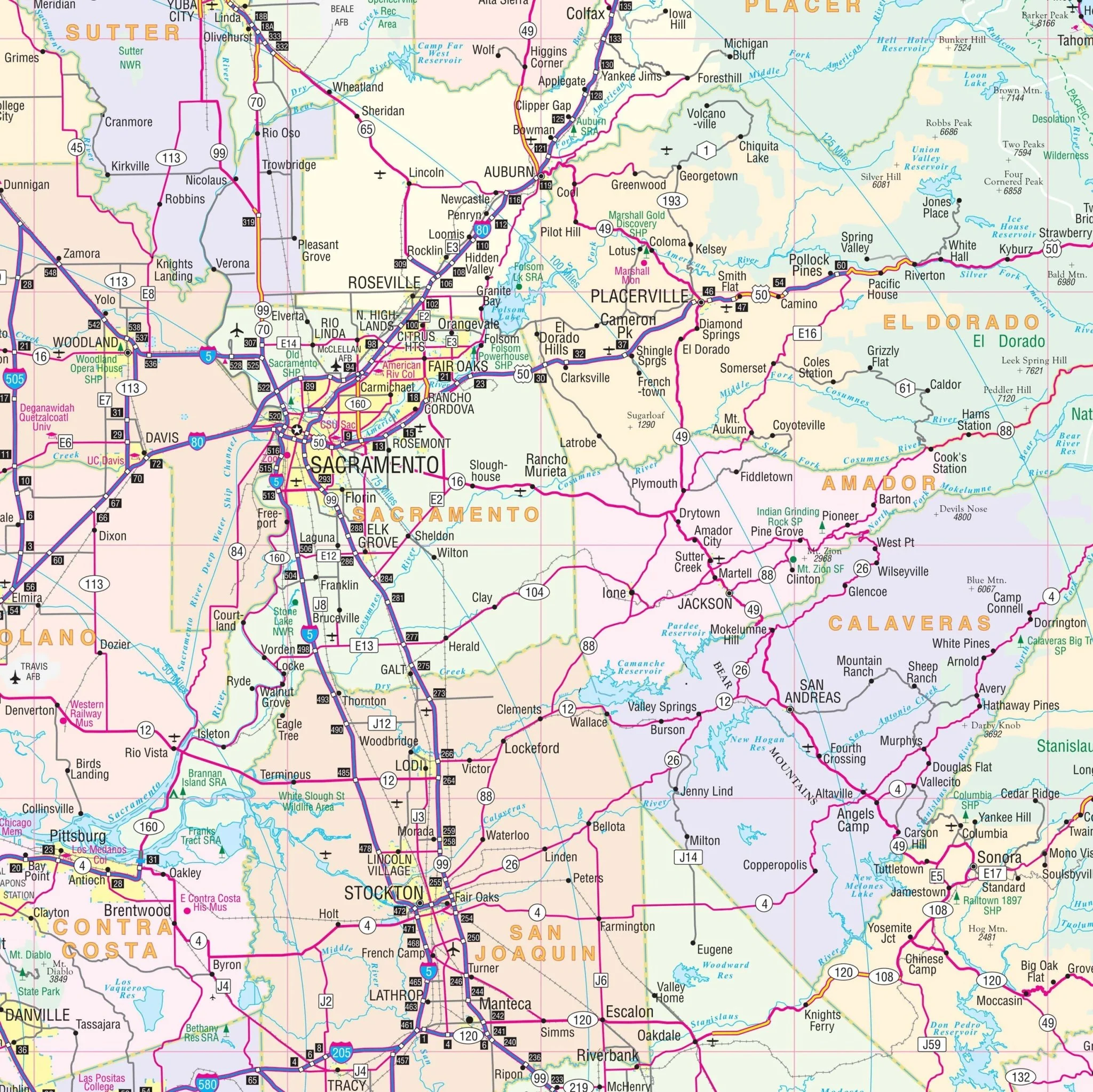
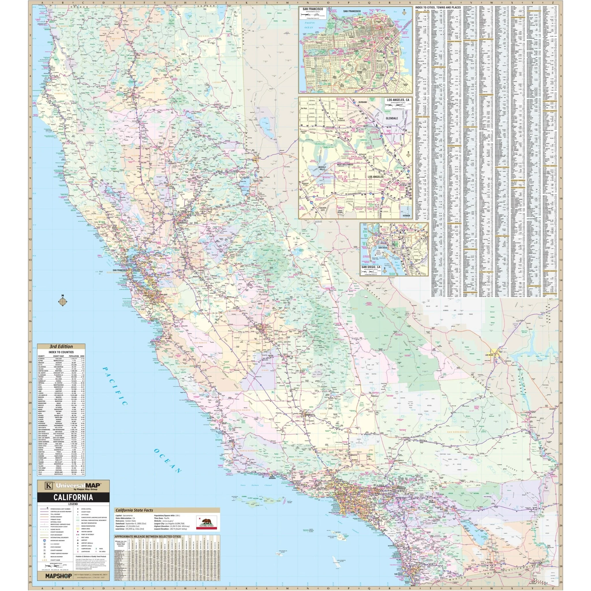
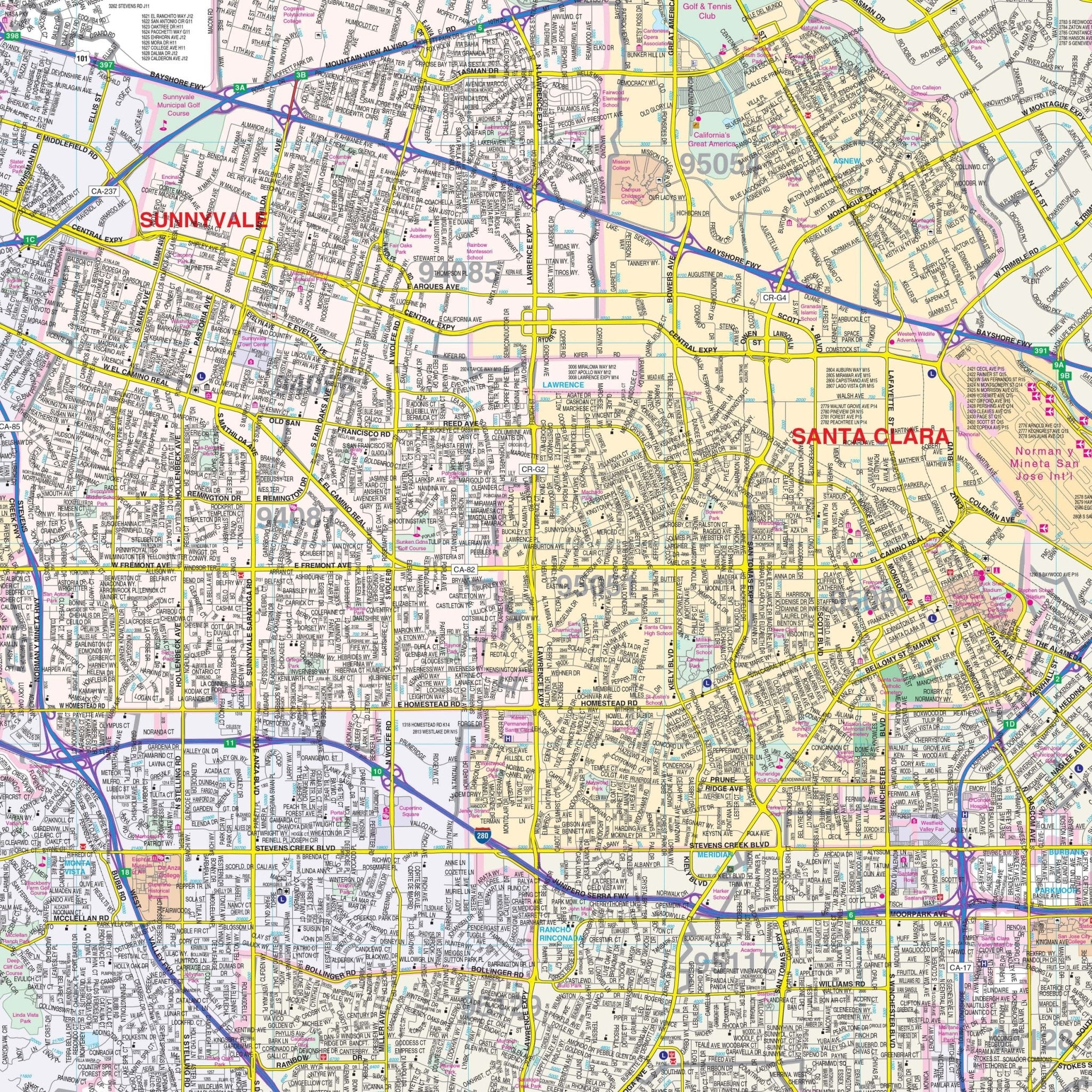
Explore the San Jose / Silicon Valley, California Wall Map by Kappa Map Group, a comprehensive resource providing a detailed perspective of this vibrant region.
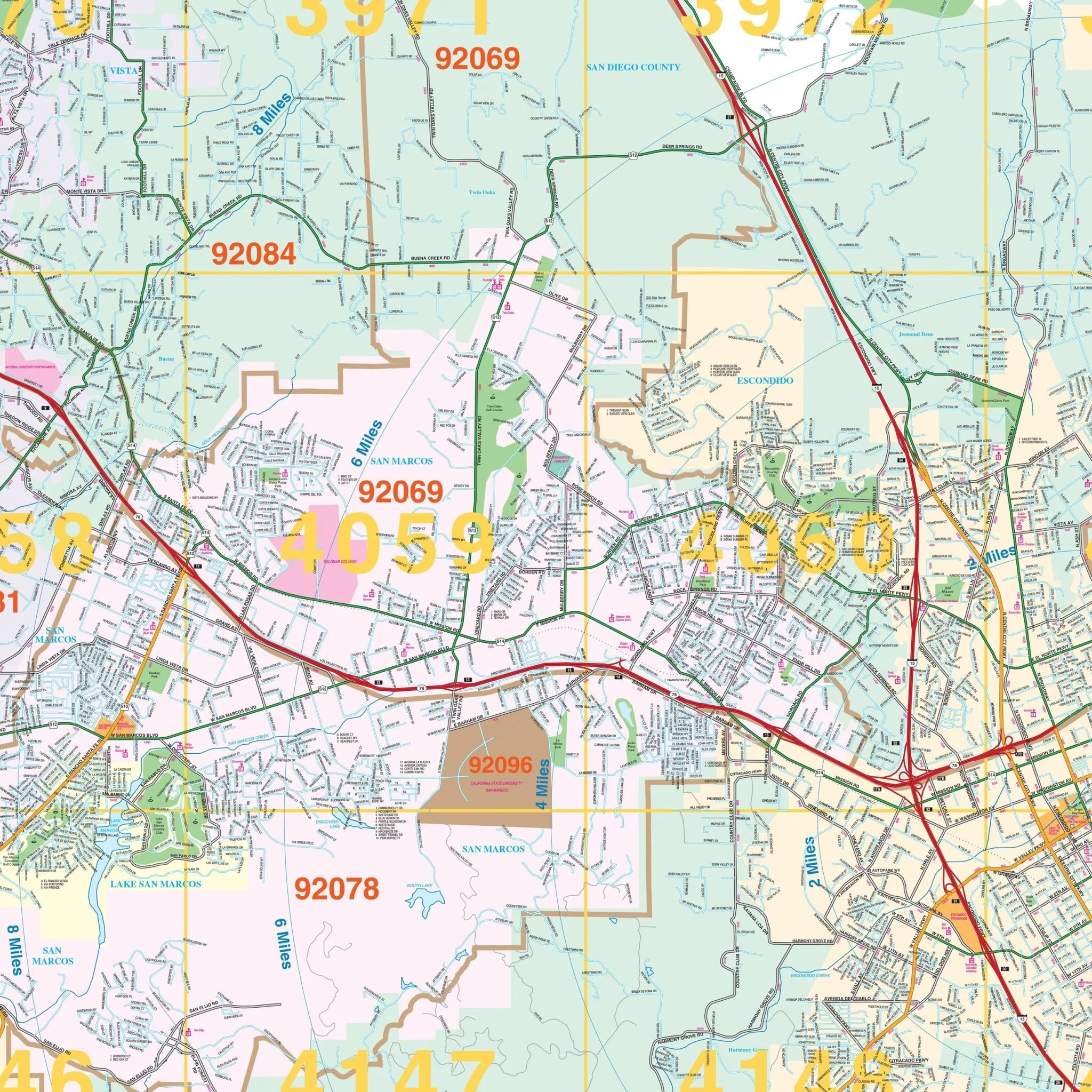
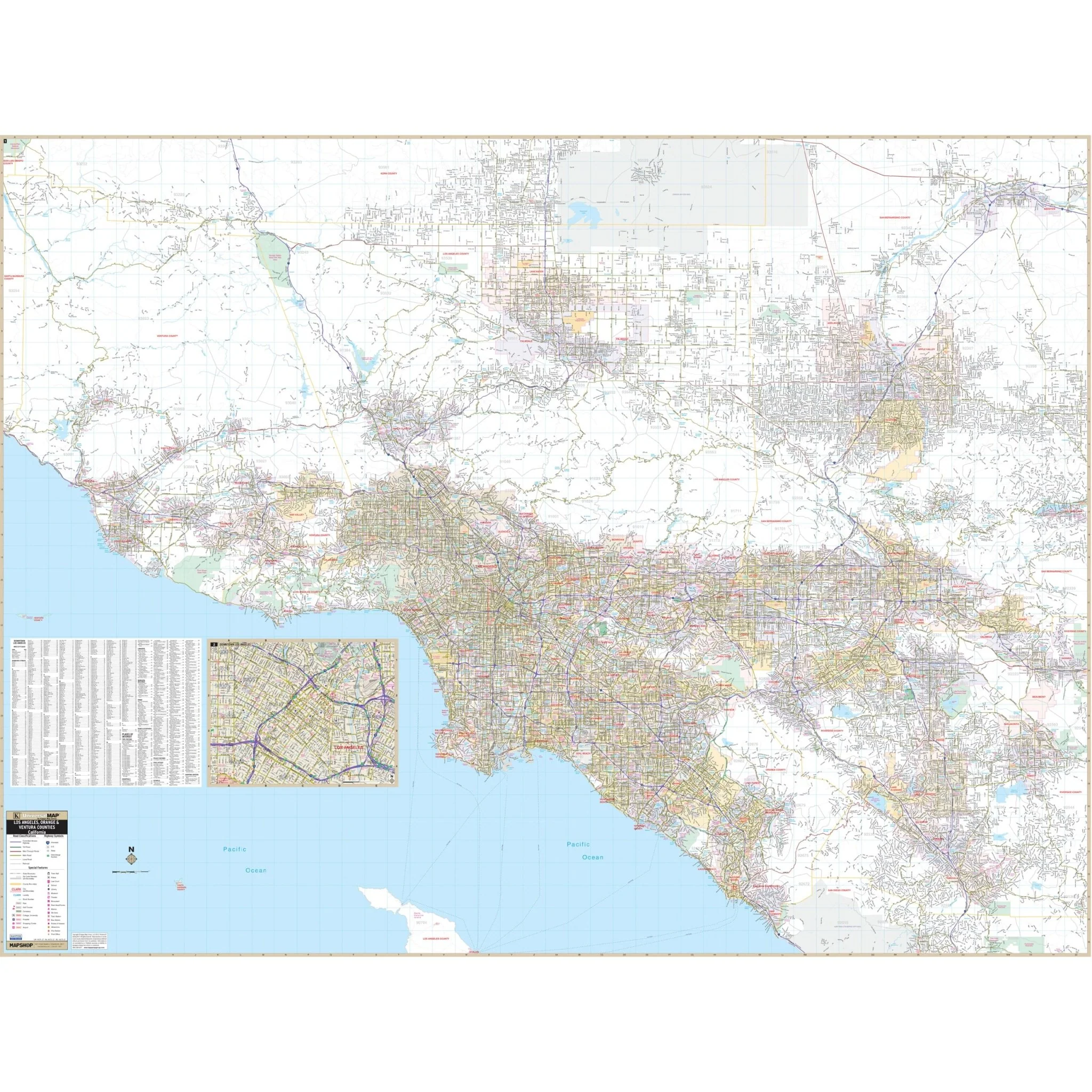
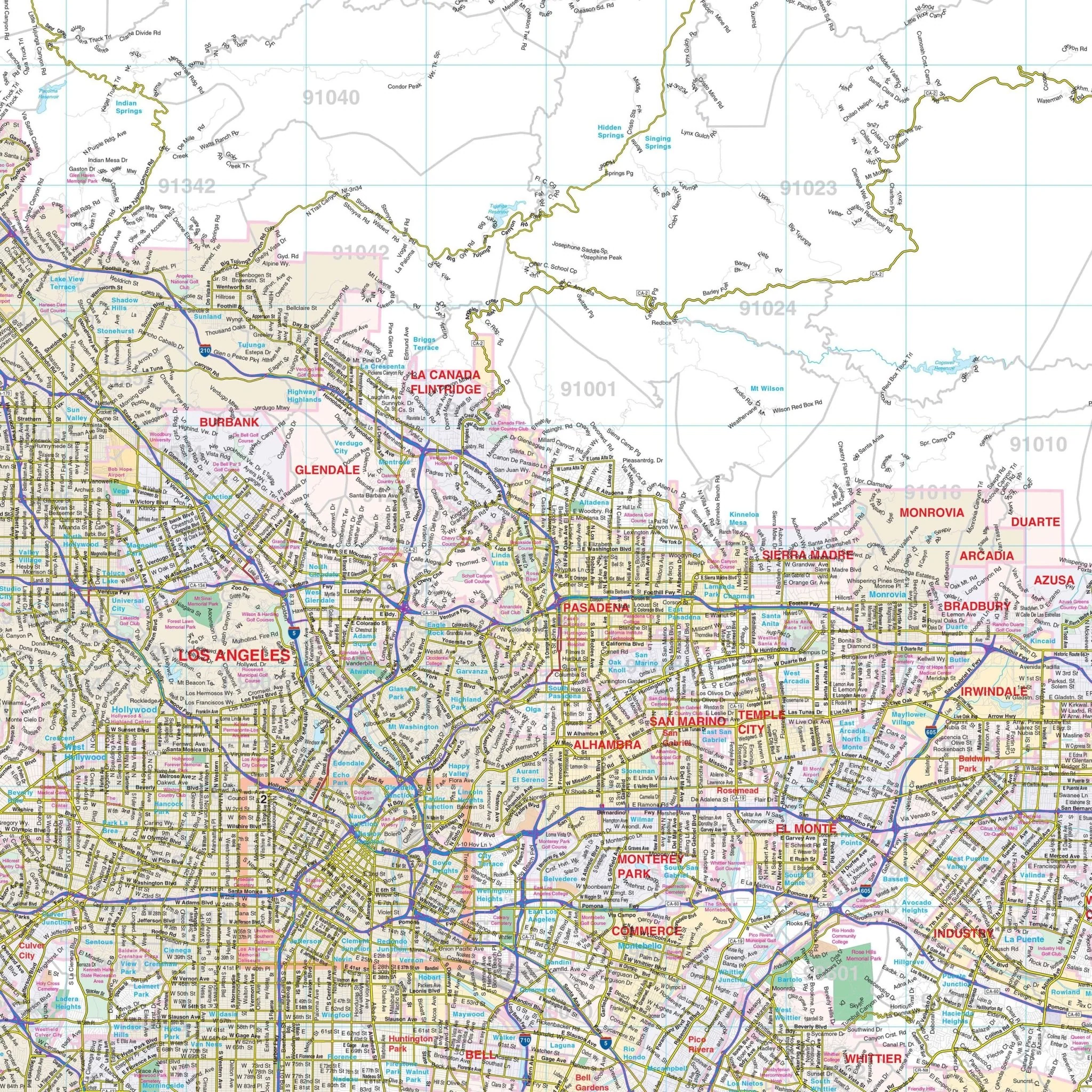
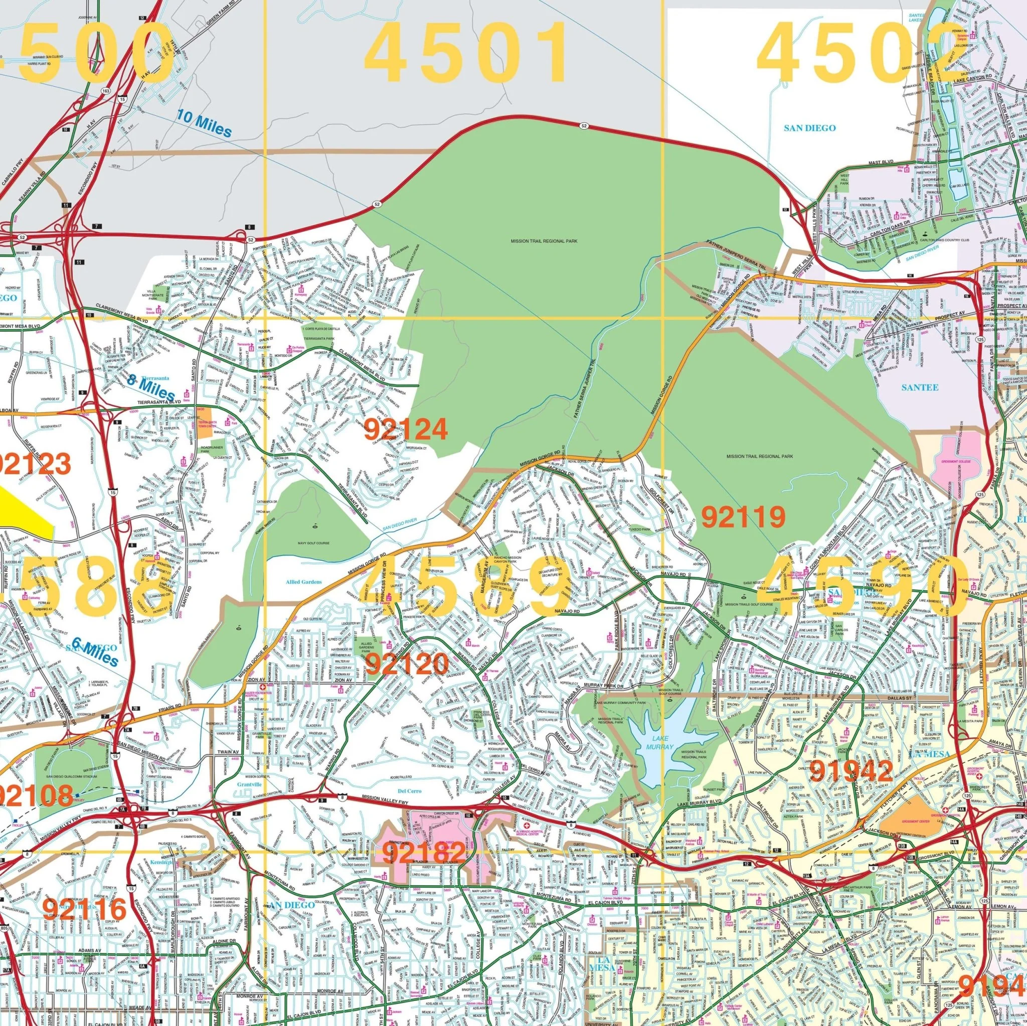
Details featured on this map encompass a wide range of information, including airports, all streets and highways, block numbers, cemeteries, color-coded city limits, educational institutions, fire and police stations, golf and country clubs, government buildings, hospitals, libraries, points of interest, post offices, railroads, recreational parks, water features, and ZIP codes with their boundaries.
Geographically, the coverage extends:
- To the north, reaching Hayward and Union City.
- To the south, encompassing the scenic Henry Cowell Redwood Forest State Park.
- Eastward, extending to the Joseph D Grant County Park.
- To the west, including Woodside and the picturesque community of La Honda.
Additionally, a detailed inset offers a closer look at the remainder of the City of San Jose and the City of Morgan Hill.
Size: 57" x 66"
Published: 2013
Product Information
Product Information
Shipping & Returns
Shipping & Returns
Description
Explore the San Jose / Silicon Valley, California Wall Map by Kappa Map Group, a comprehensive resource providing a detailed perspective of this vibrant region.
Details featured on this map encompass a wide range of information, including airports, all streets and highways, block numbers, cemeteries, color-coded city limits, educational institutions, fire and police stations, golf and country clubs, government buildings, hospitals, libraries, points of interest, post offices, railroads, recreational parks, water features, and ZIP codes with their boundaries.
Geographically, the coverage extends:
- To the north, reaching Hayward and Union City.
- To the south, encompassing the scenic Henry Cowell Redwood Forest State Park.
- Eastward, extending to the Joseph D Grant County Park.
- To the west, including Woodside and the picturesque community of La Honda.
Additionally, a detailed inset offers a closer look at the remainder of the City of San Jose and the City of Morgan Hill.
Size: 57" x 66"
Published: 2013