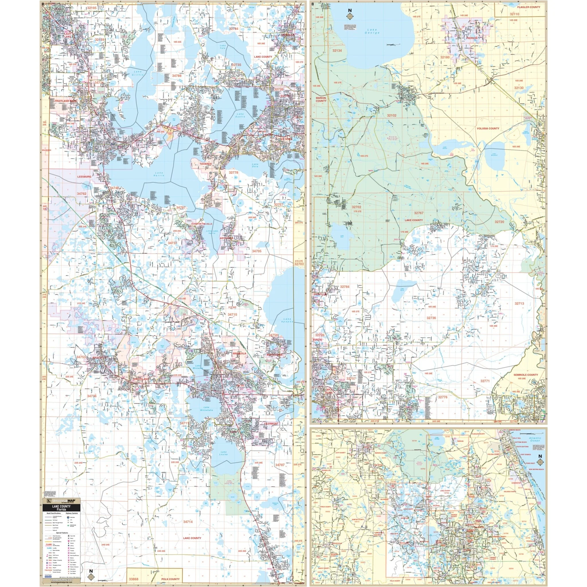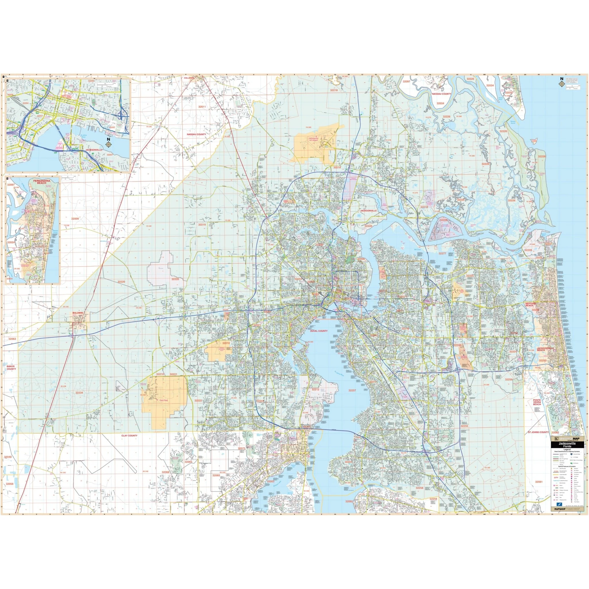


Miami-Dade County, FL Wall Map
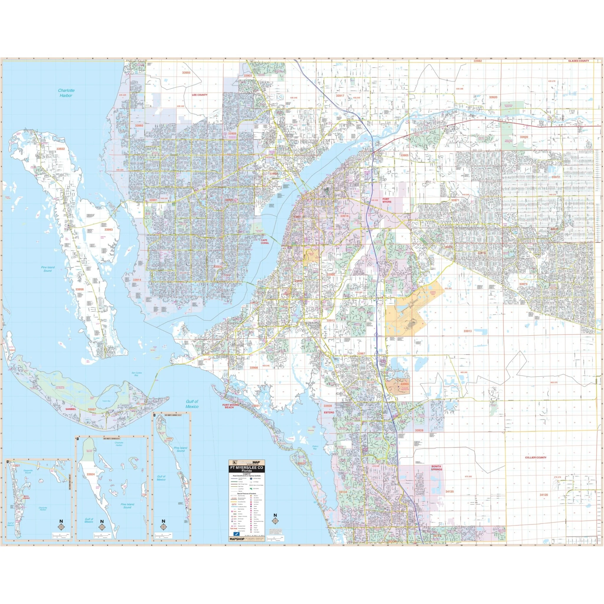
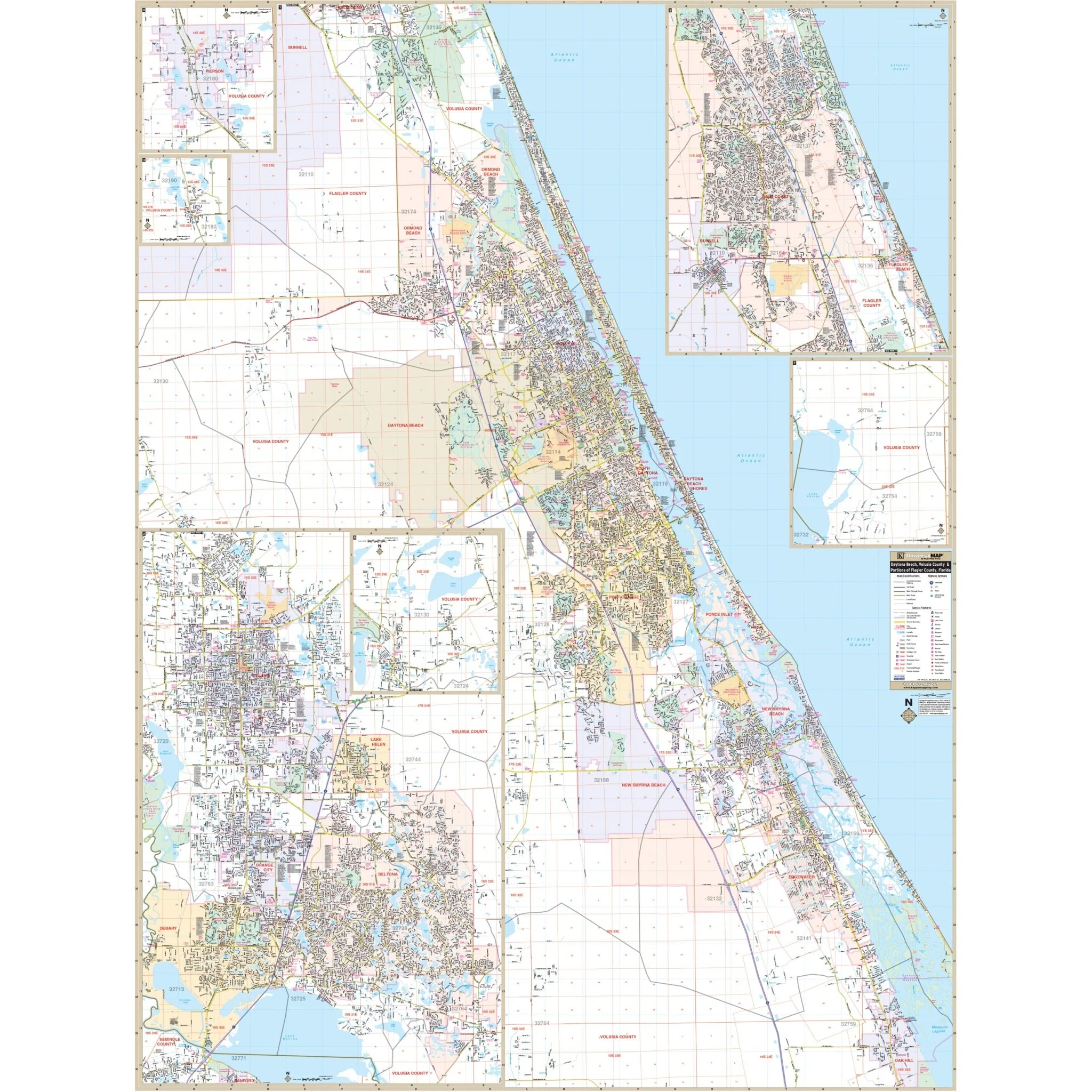
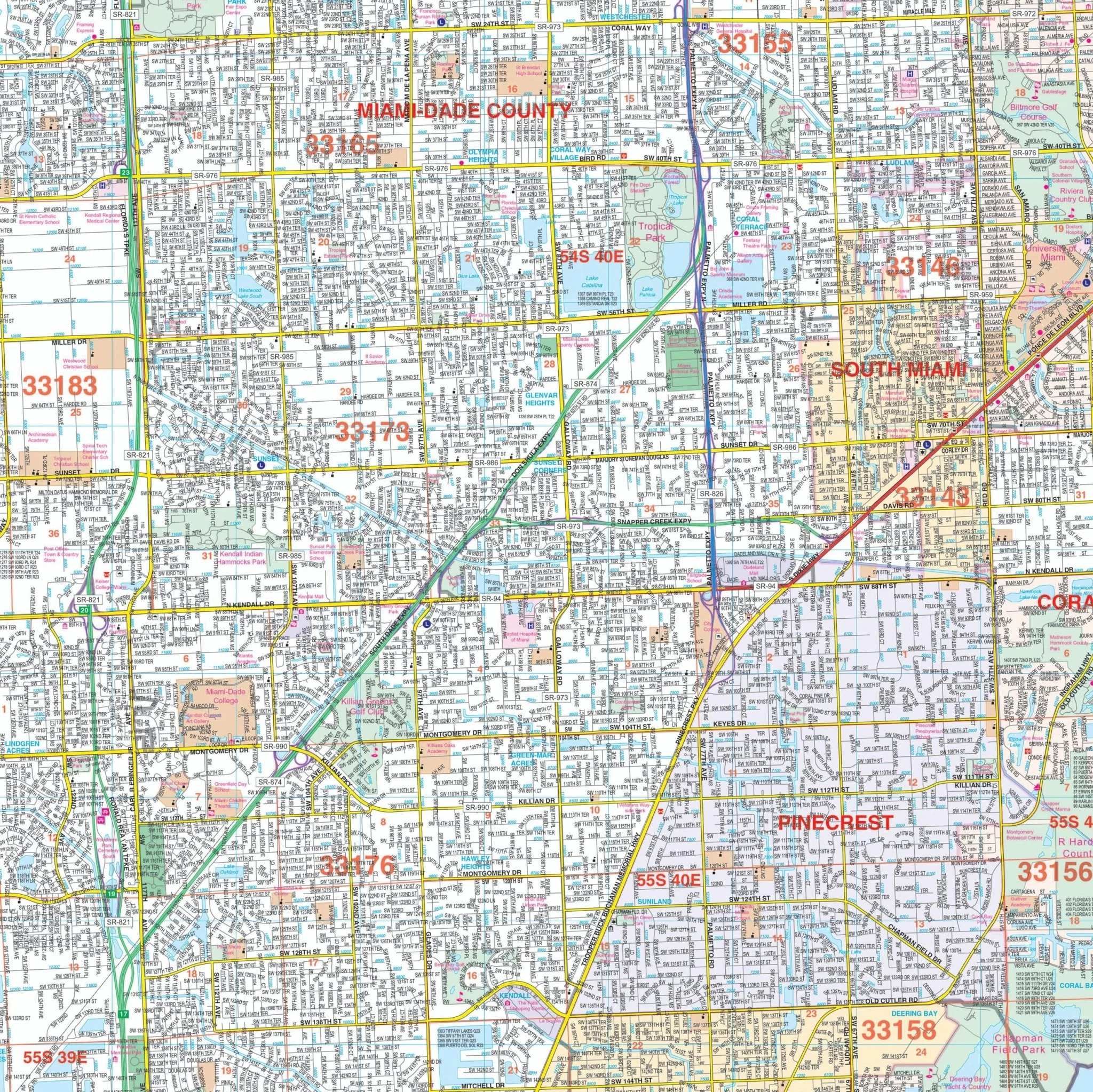
Discover the Miami-Dade County, FL Wall Map, a comprehensive and detailed resource for navigating the vibrant area of Miami-Dade County. Whether you're a resident, a visitor, or a business owner, this map provides valuable insights into the region's streets and neighborhoods.
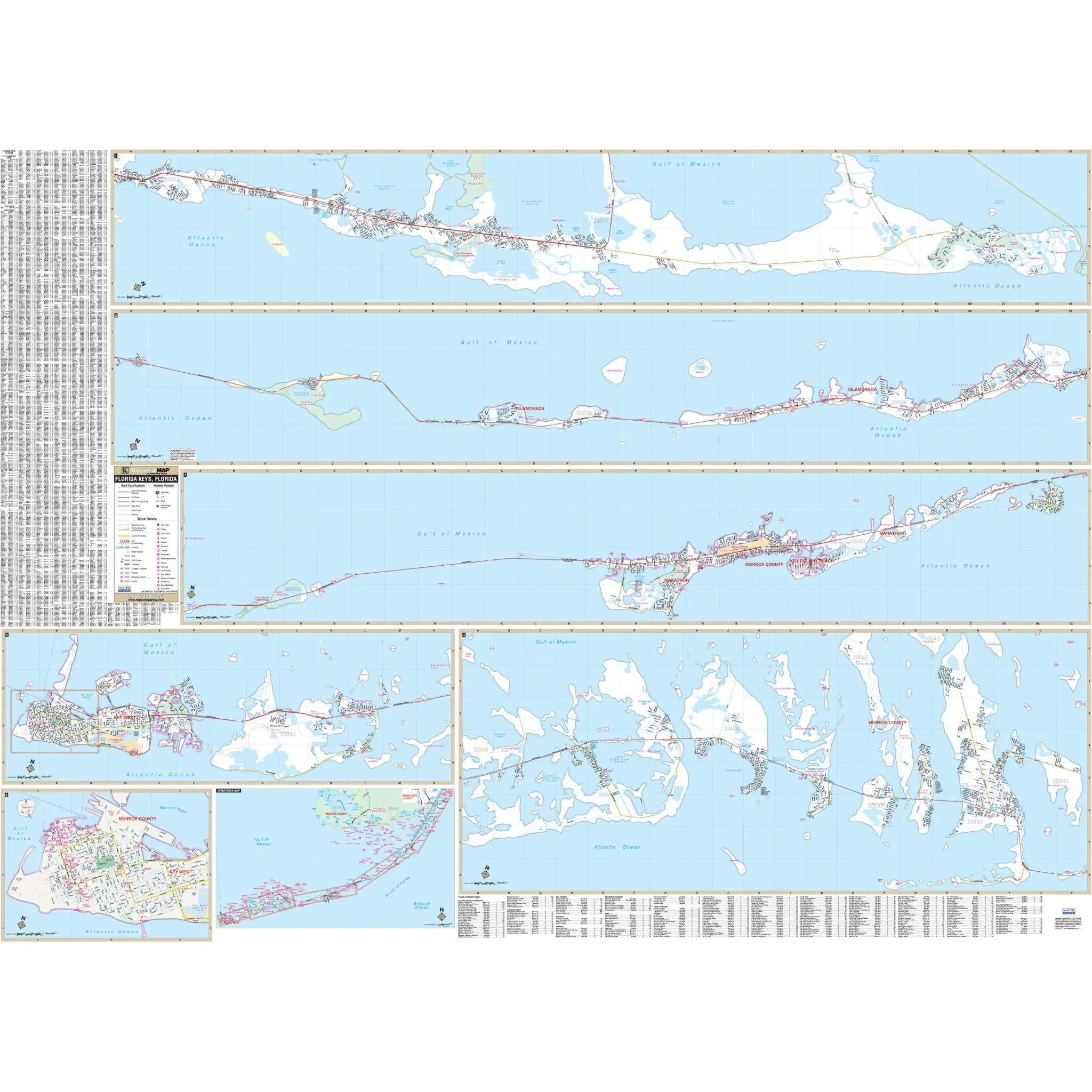
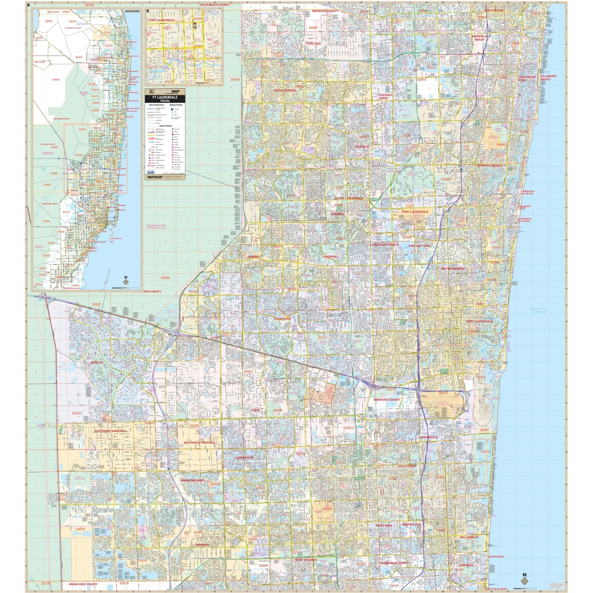
Encompassing the entire Miami-Dade County, this map stretches from the Broward County line in the north to the southern cities of Florida City and Homestead. It extends eastward to the beautiful Atlantic Ocean and westward to Homestead Airport. This extensive coverage ensures that you have all the essential information you need.
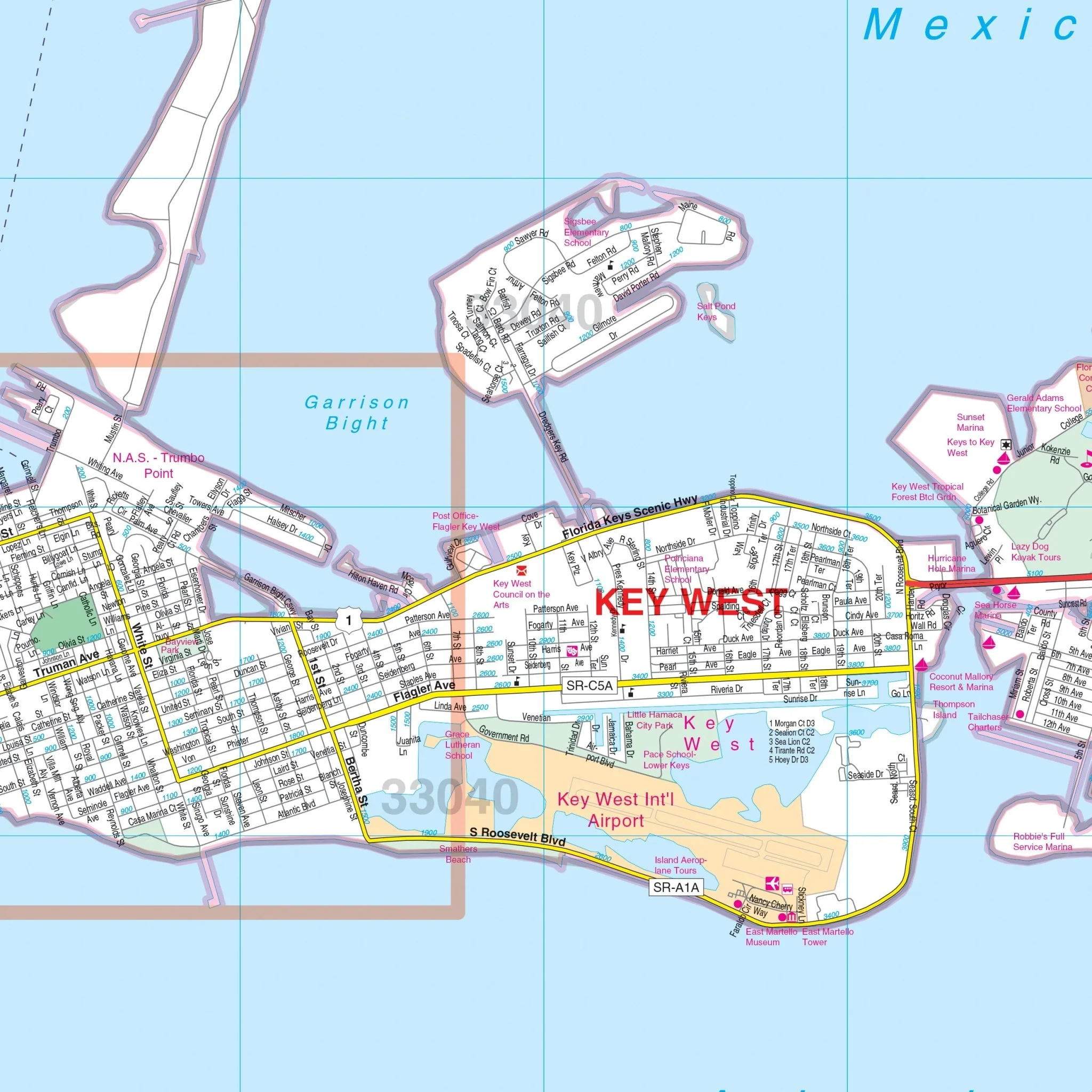
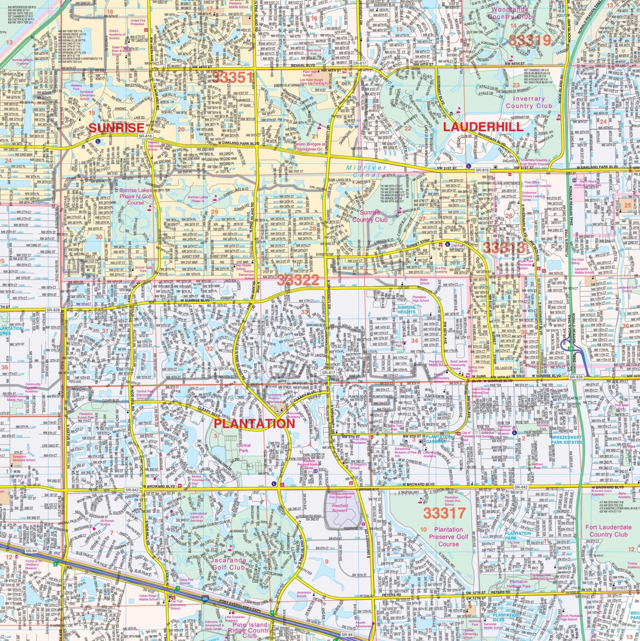
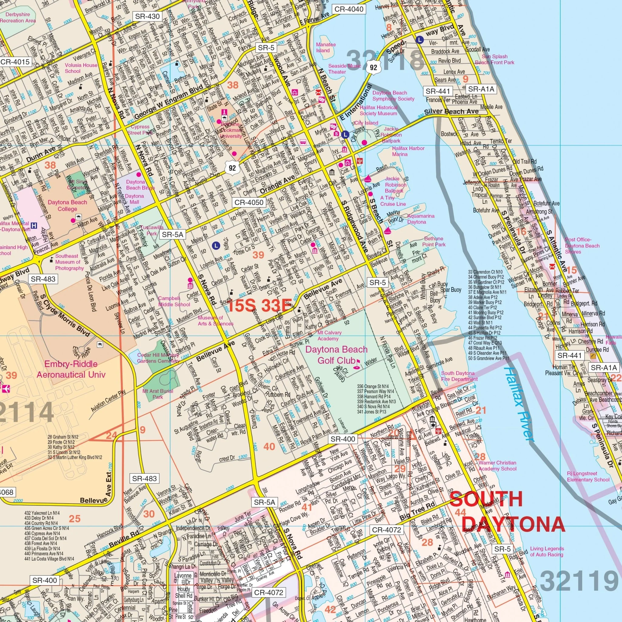
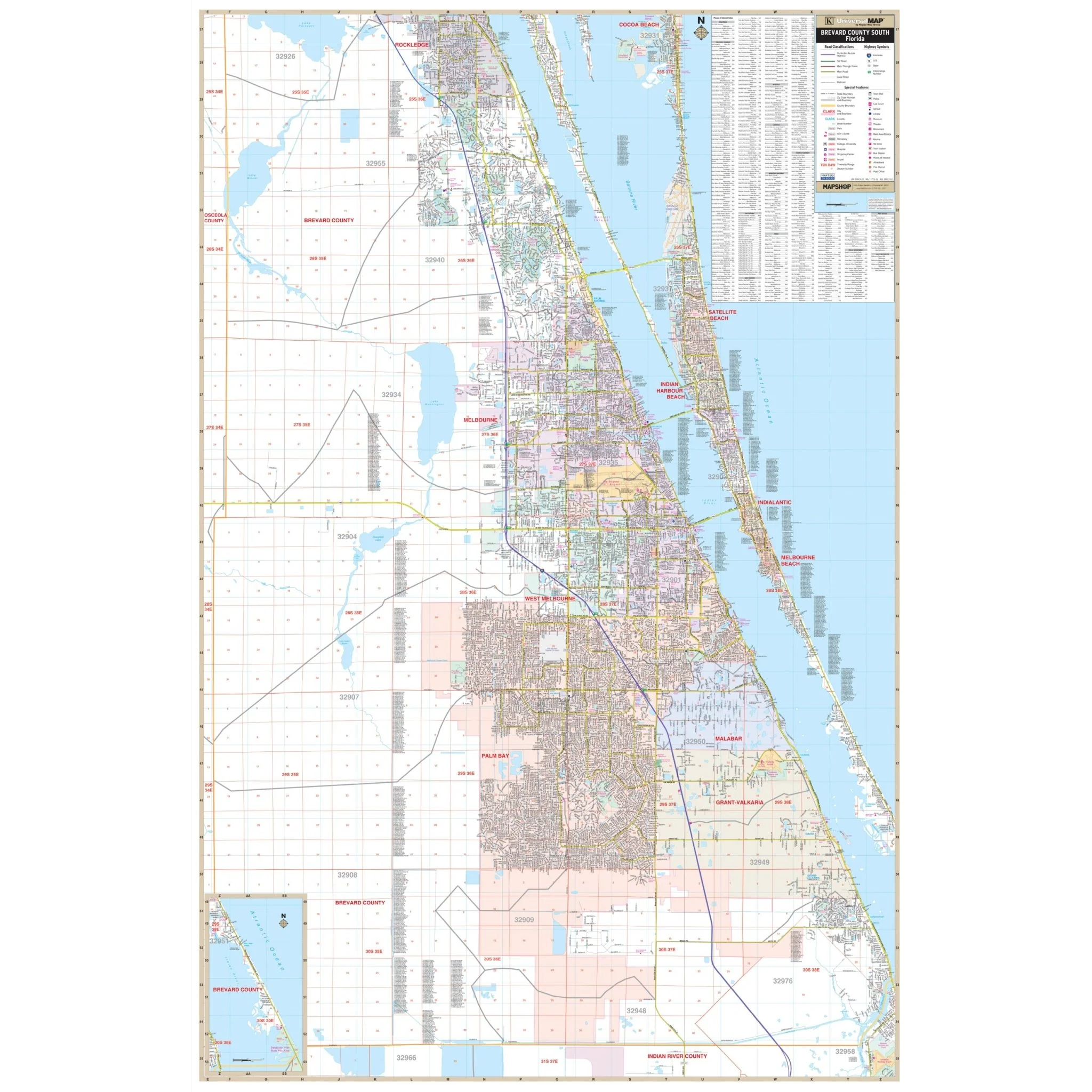
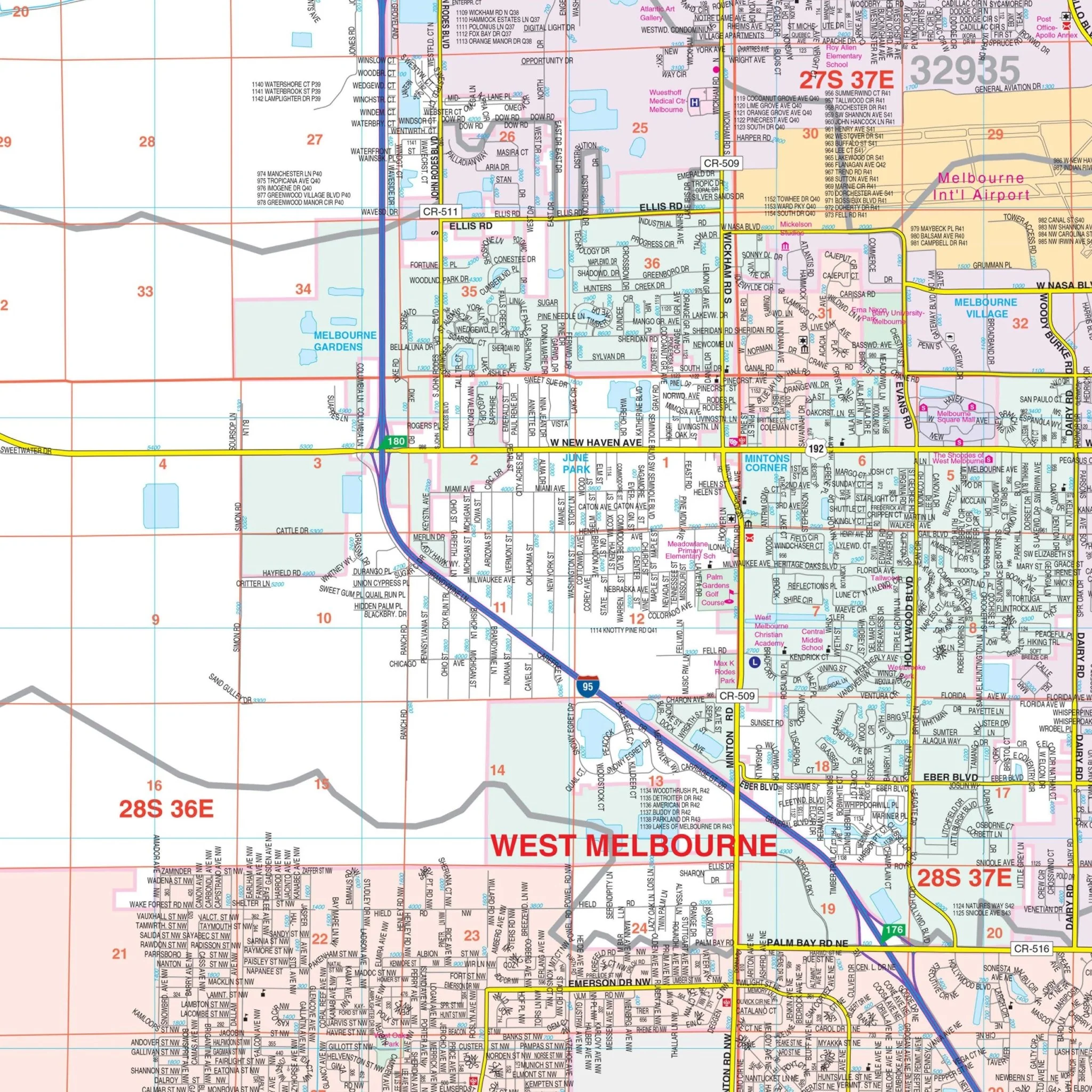
Included in the map are a variety of details that enhance your understanding of the area. You'll find information on streets, airports, government buildings, post offices, cemeteries, fire and police stations, hospitals, shopping centers, educational institutions, railroads, water features, golf and country clubs, mileage circles, recreational parks, ZIP codes and boundaries, as well as block numbers.
Whether you're planning a trip, conducting business, or simply want to explore Miami-Dade County, this wall map is your indispensable guide to the heart of South Florida.
Size: 57" x 75"
Published: 2015
Original: $149.99
-70%$149.99
$45.00Product Information
Product Information
Shipping & Returns
Shipping & Returns
Description
Discover the Miami-Dade County, FL Wall Map, a comprehensive and detailed resource for navigating the vibrant area of Miami-Dade County. Whether you're a resident, a visitor, or a business owner, this map provides valuable insights into the region's streets and neighborhoods.
Encompassing the entire Miami-Dade County, this map stretches from the Broward County line in the north to the southern cities of Florida City and Homestead. It extends eastward to the beautiful Atlantic Ocean and westward to Homestead Airport. This extensive coverage ensures that you have all the essential information you need.
Included in the map are a variety of details that enhance your understanding of the area. You'll find information on streets, airports, government buildings, post offices, cemeteries, fire and police stations, hospitals, shopping centers, educational institutions, railroads, water features, golf and country clubs, mileage circles, recreational parks, ZIP codes and boundaries, as well as block numbers.
Whether you're planning a trip, conducting business, or simply want to explore Miami-Dade County, this wall map is your indispensable guide to the heart of South Florida.
Size: 57" x 75"
Published: 2015