Orlando, FL Wall Map
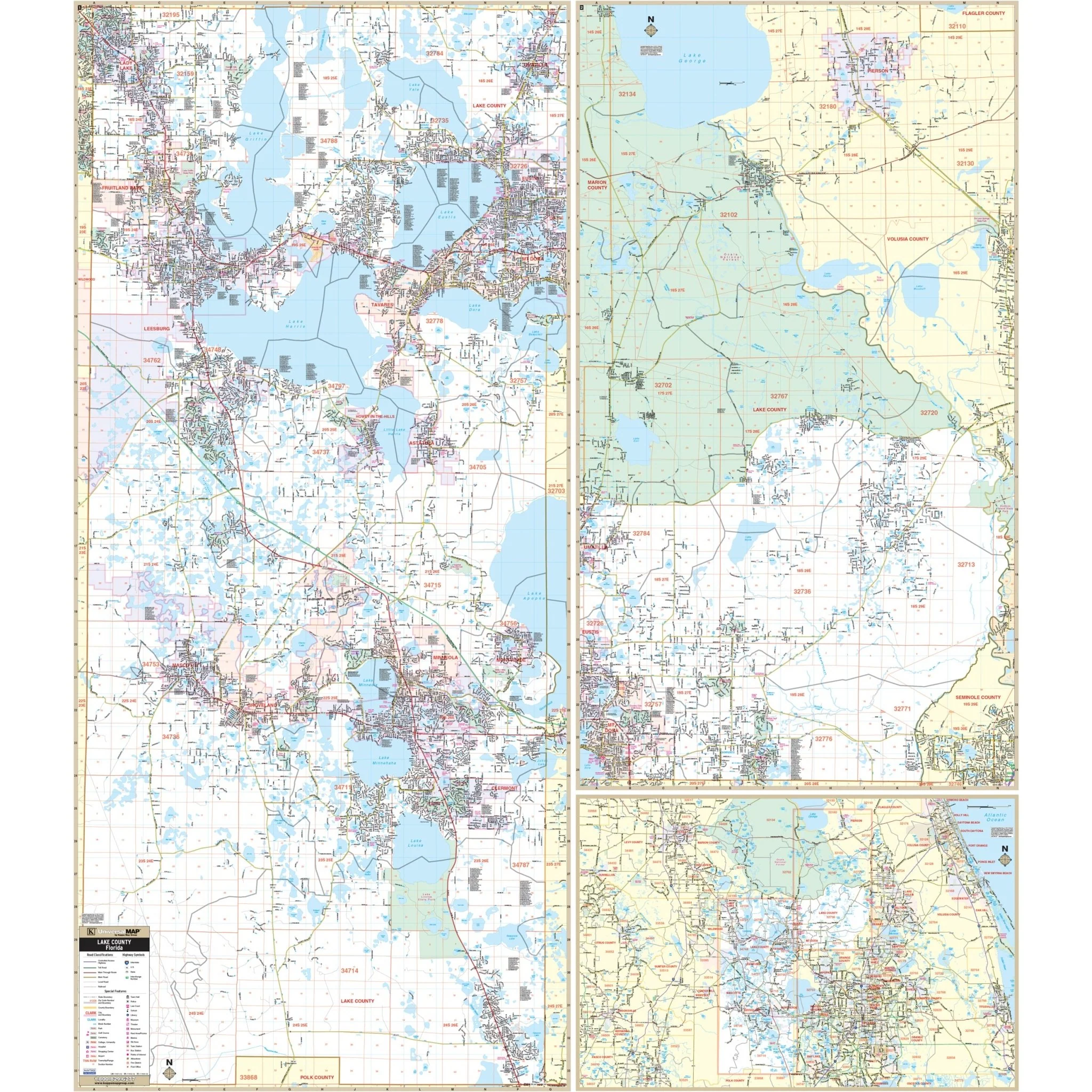
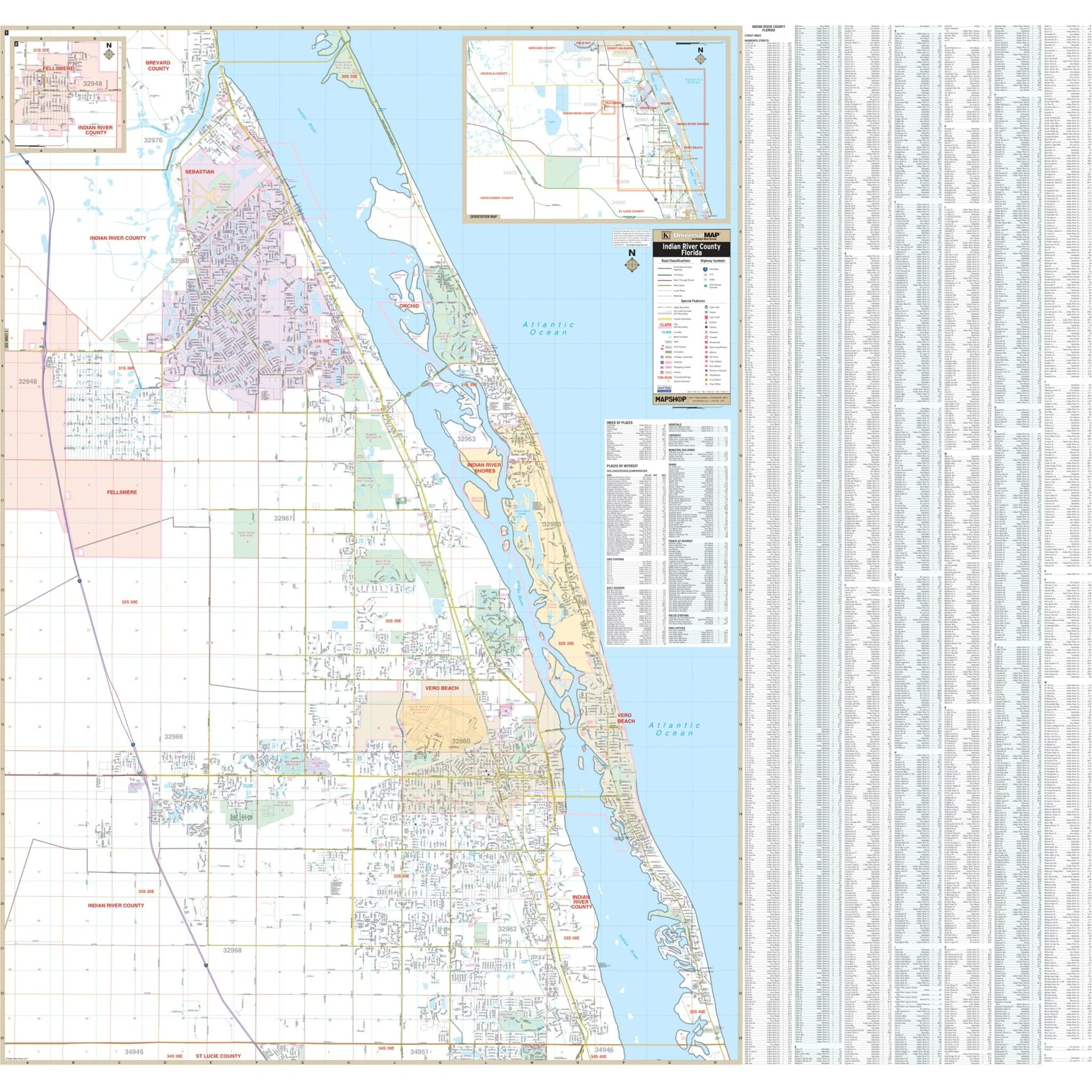
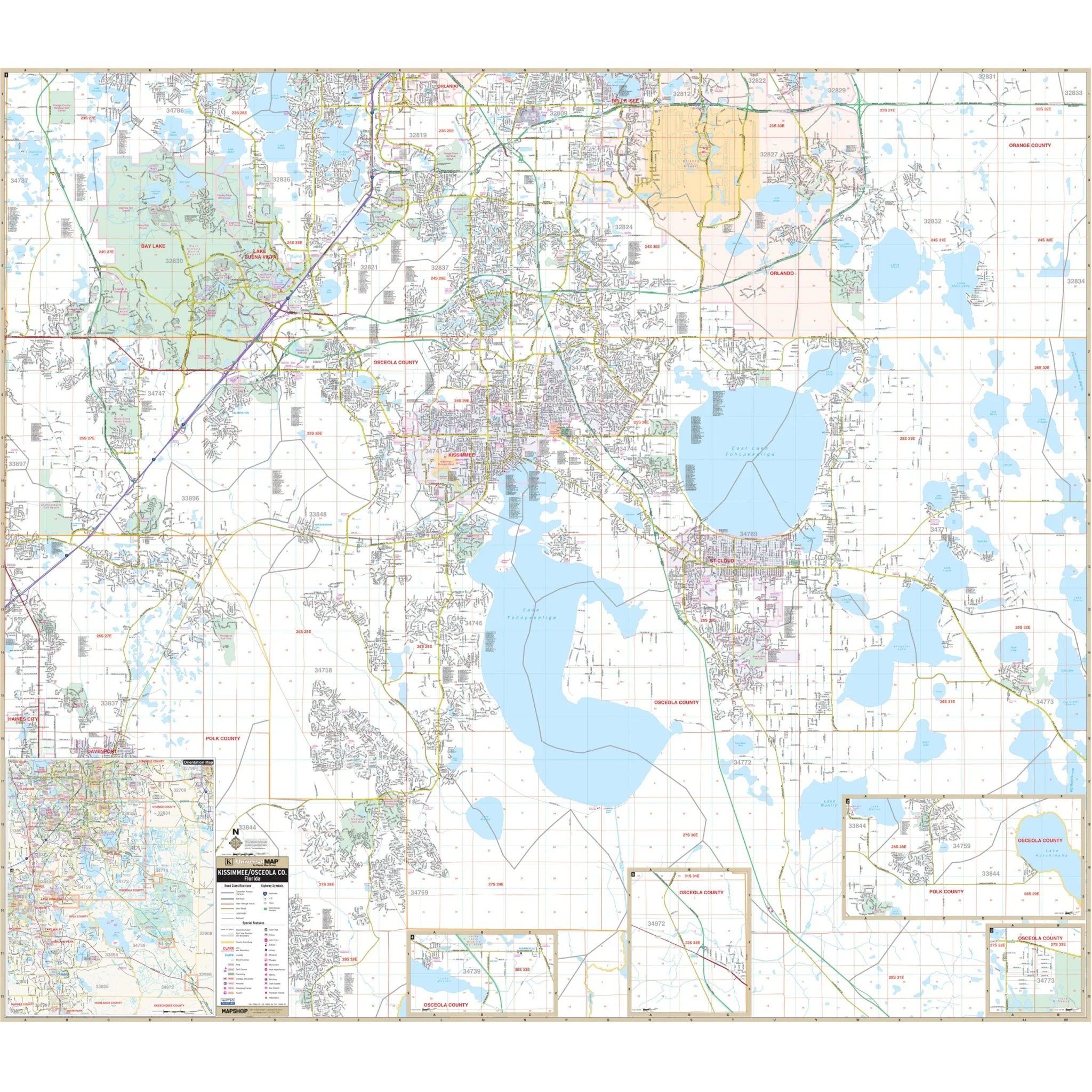
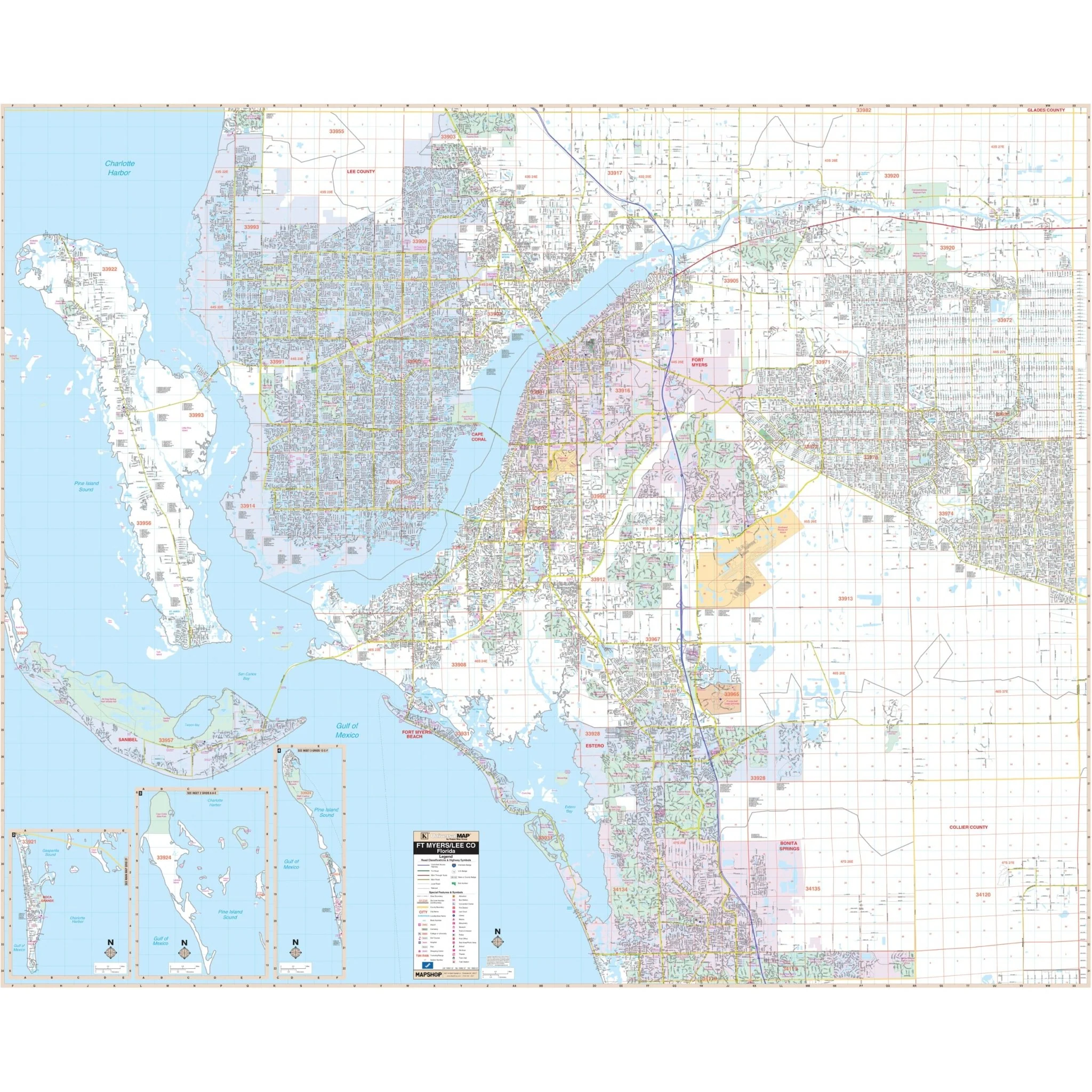
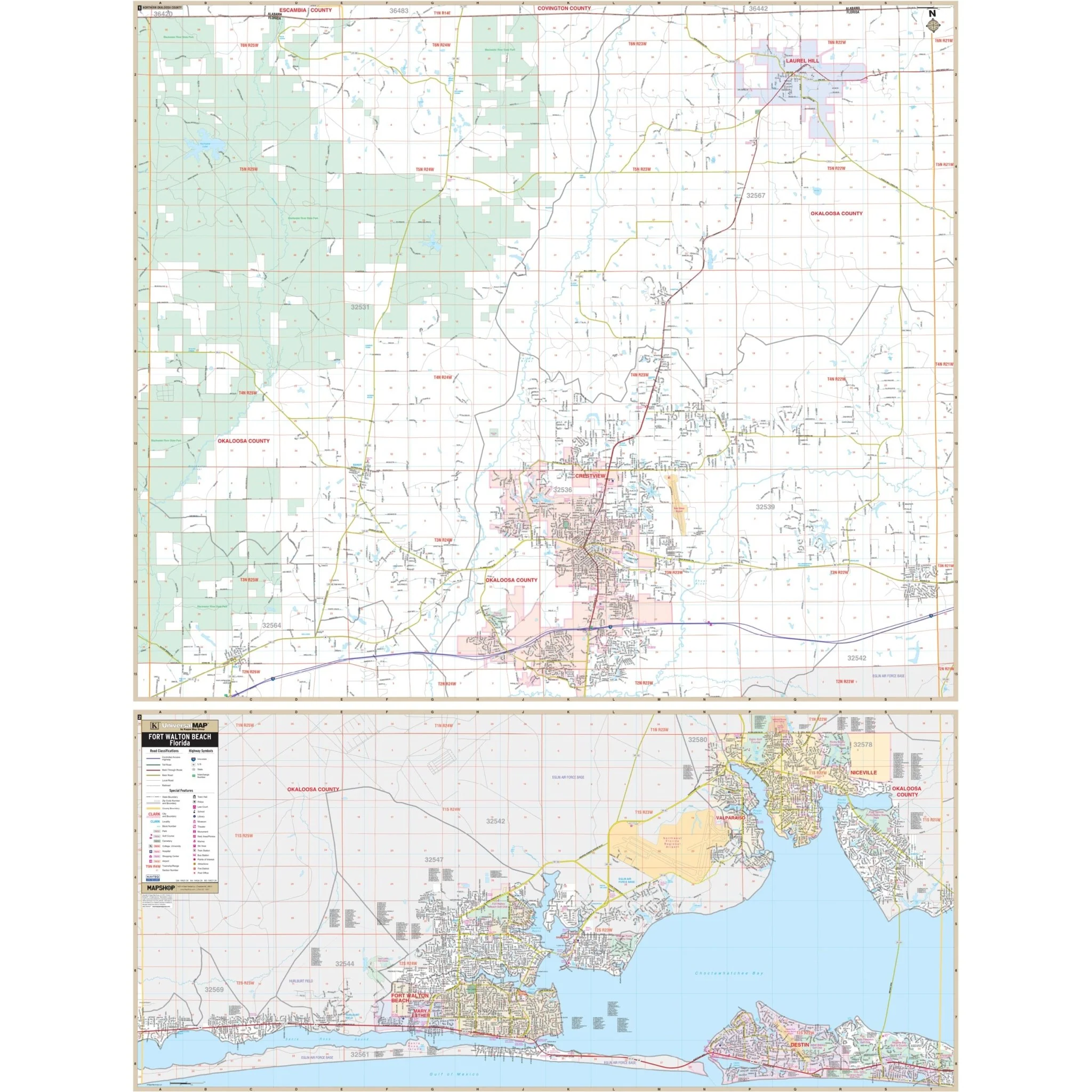
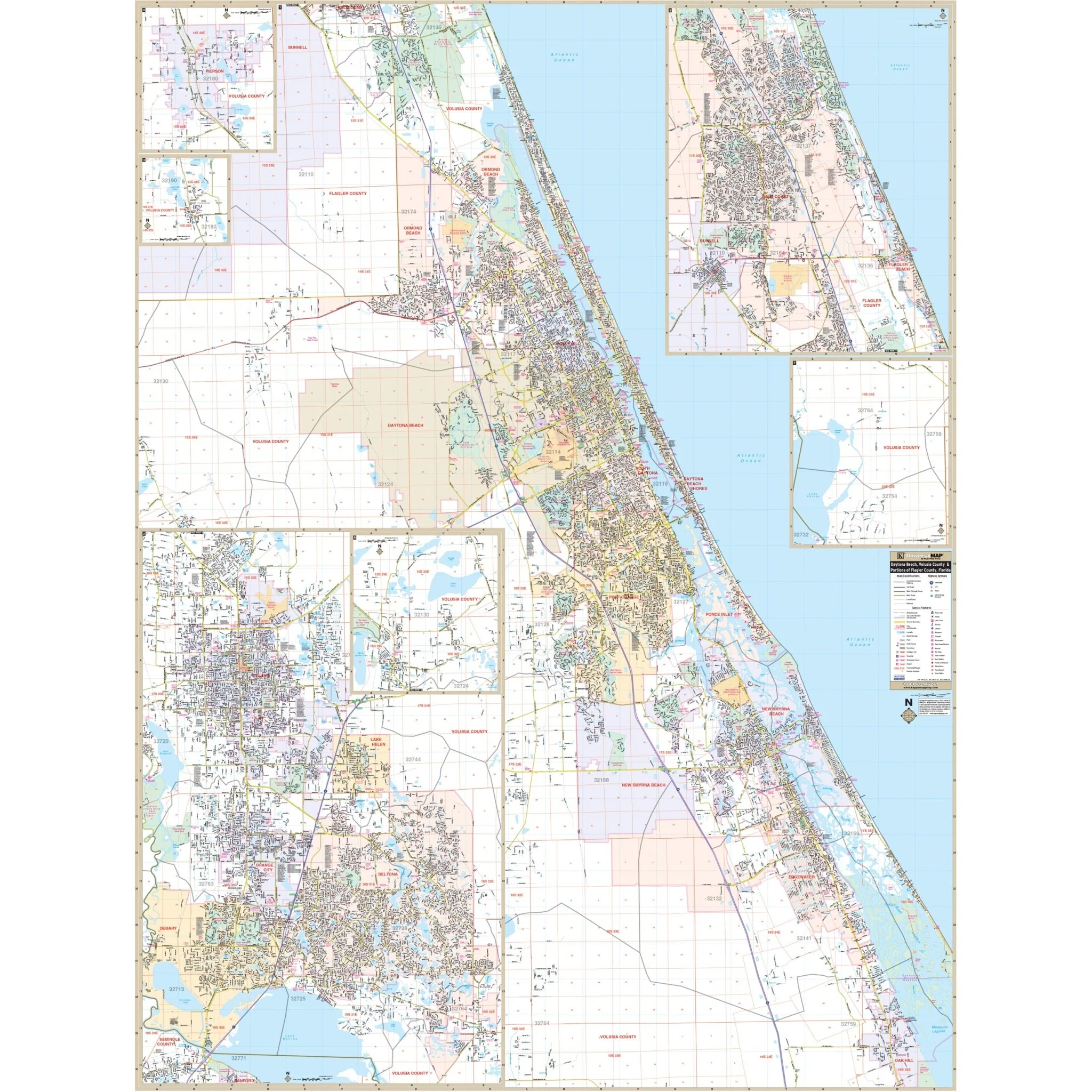
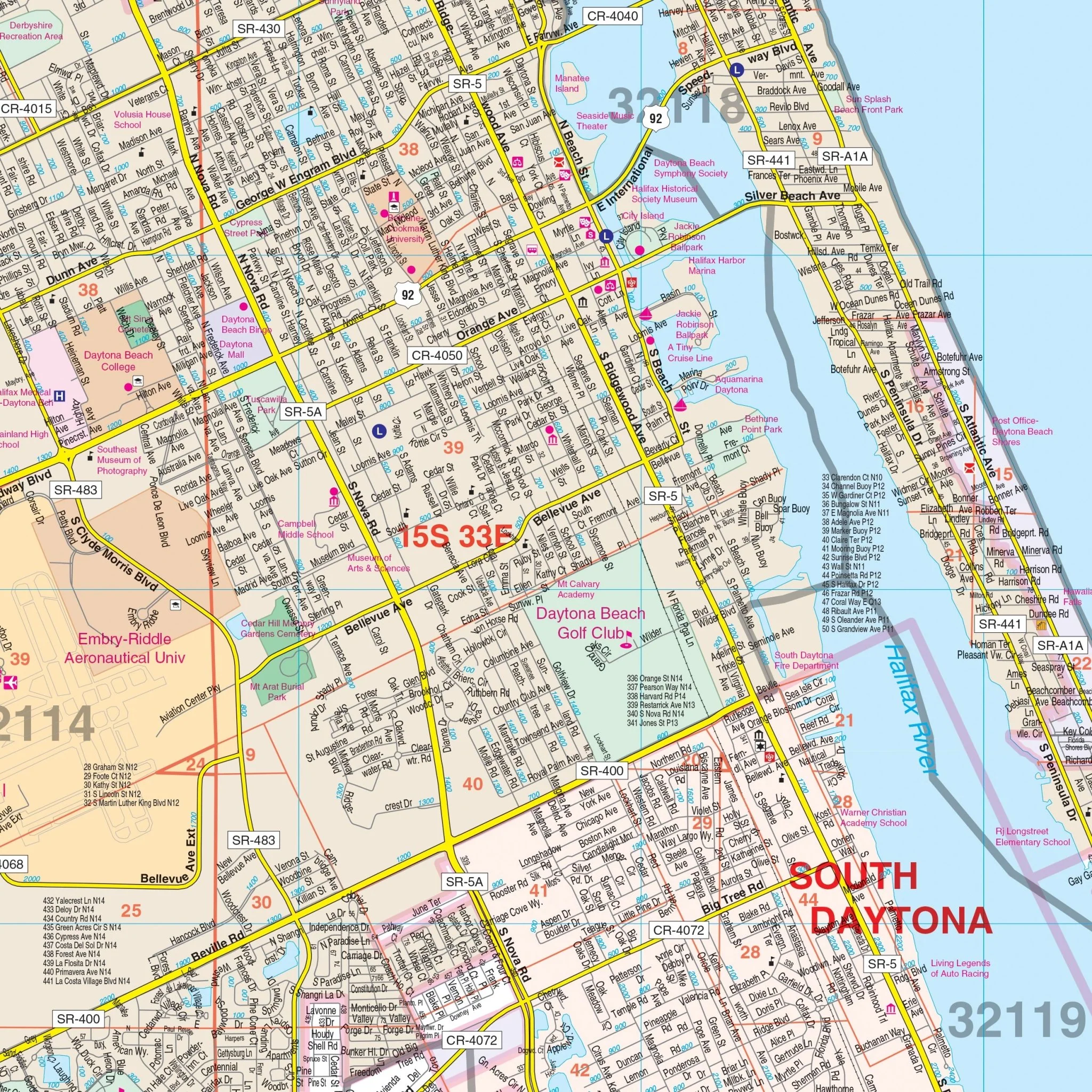
Presenting the Orlando, FL Metro Wall Map by Kappa Map Group, skillfully designed to offer a detailed view of the Orlando Metro area. This map provides valuable information without specifying its size, publication date, or recency.
Encompassing the Orlando Metro region, the map's coverage extends as follows:
- To the north, it reaches the Volusia/Seminole County lines, including the Orlando-Sanford Int'l Airport.
- To the south, it extends to the Osceola County line.
- To the east, it includes Christmas.
- To the west, it stretches to the Lake County line.
Additionally, the map features a convenient inset focusing on Downtown Orlando.
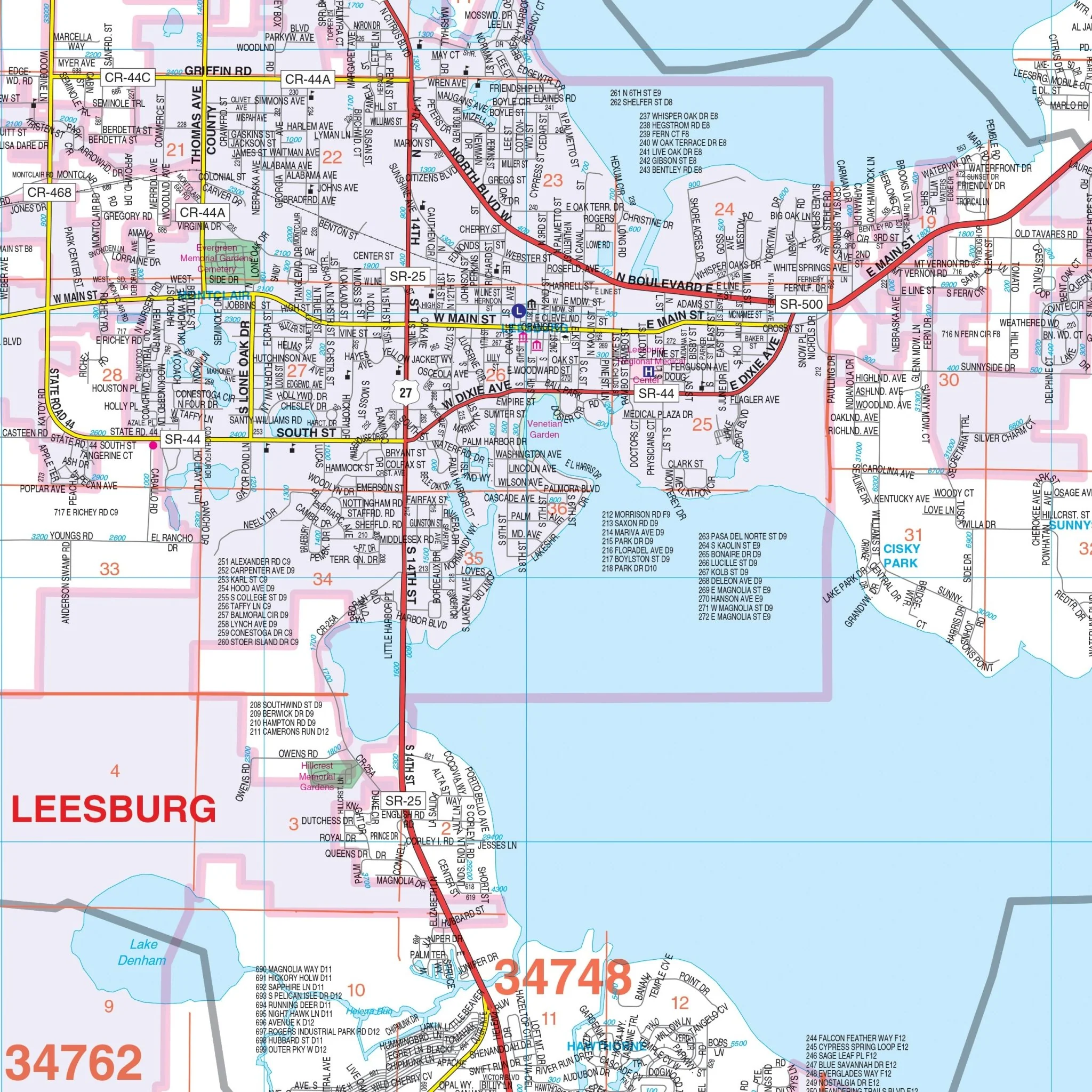
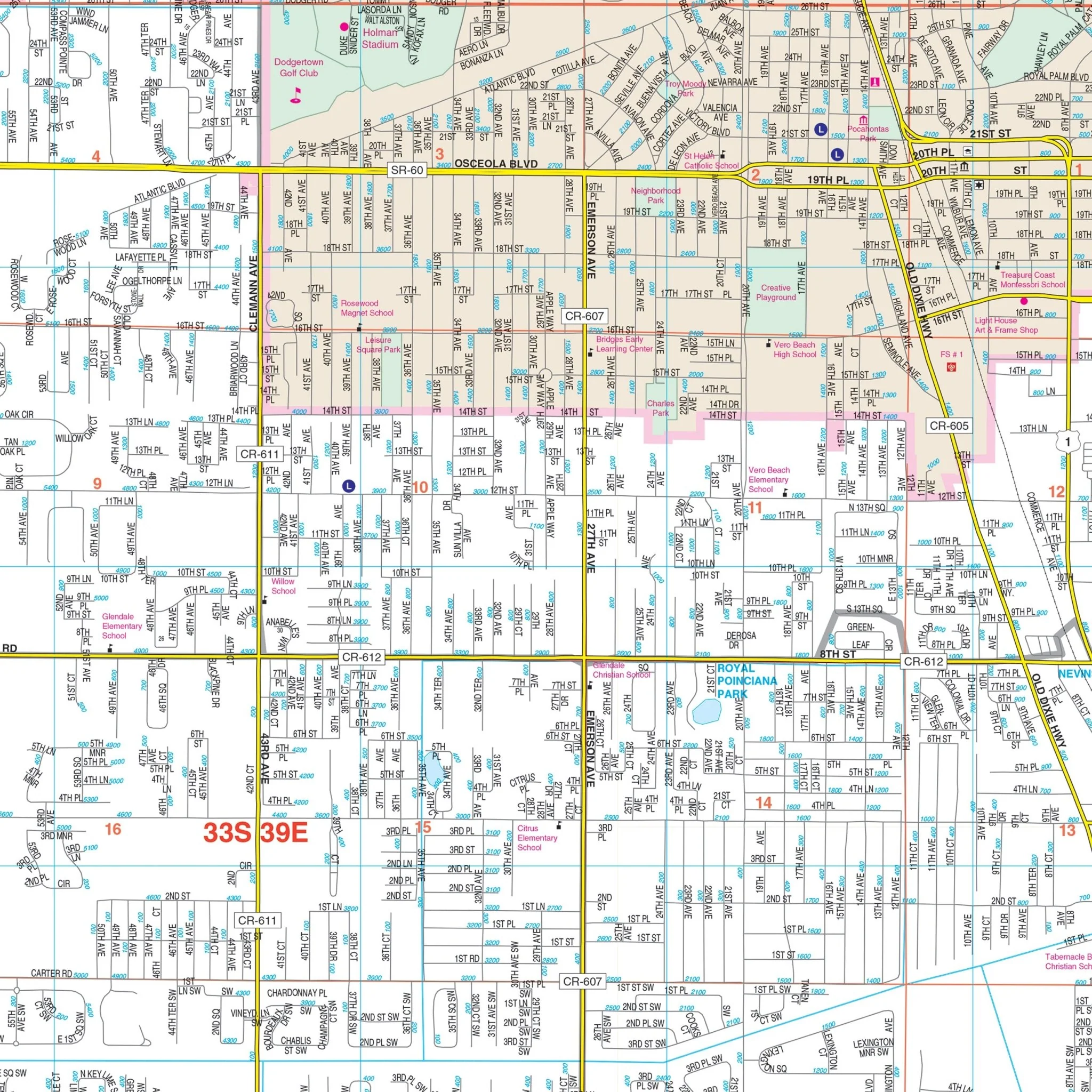
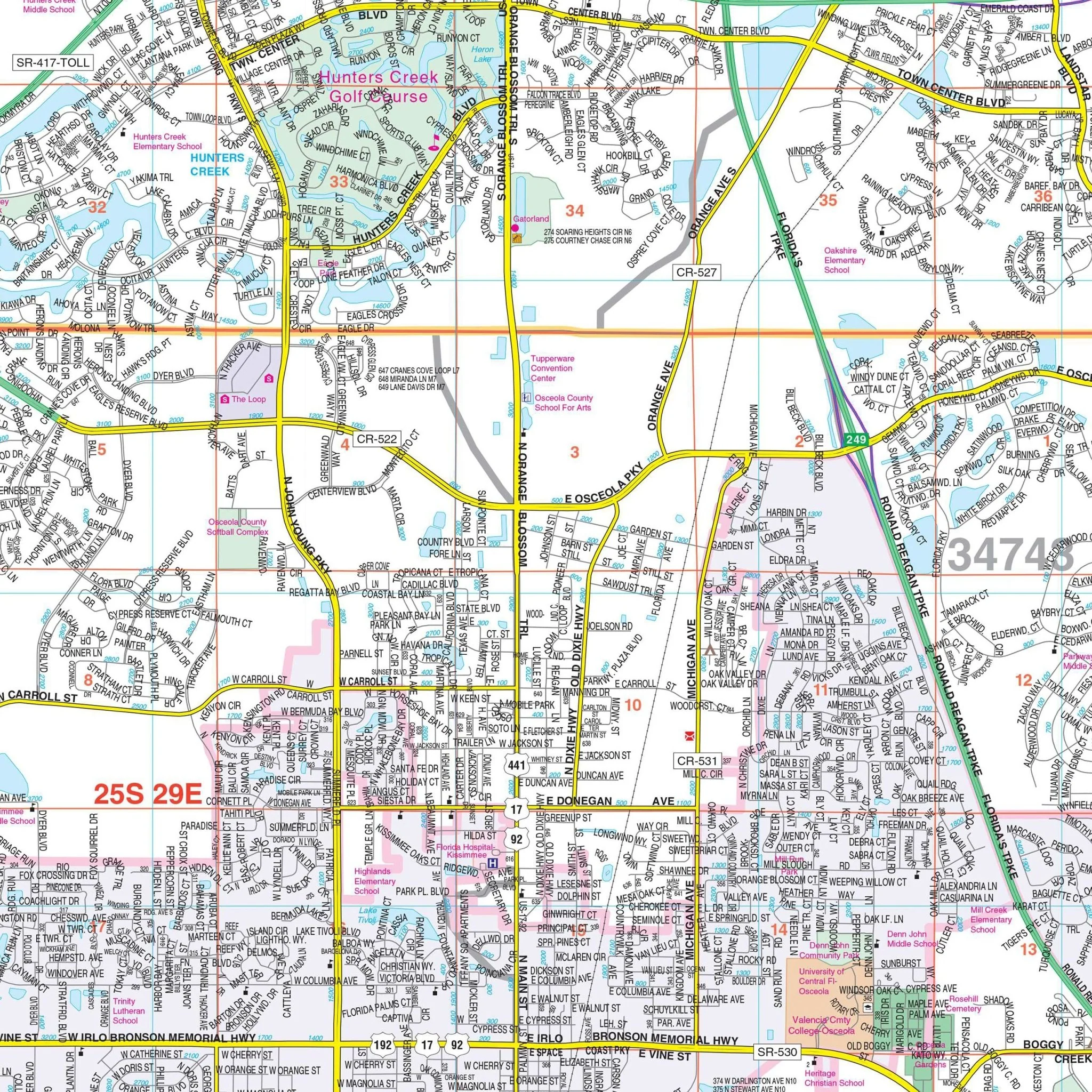
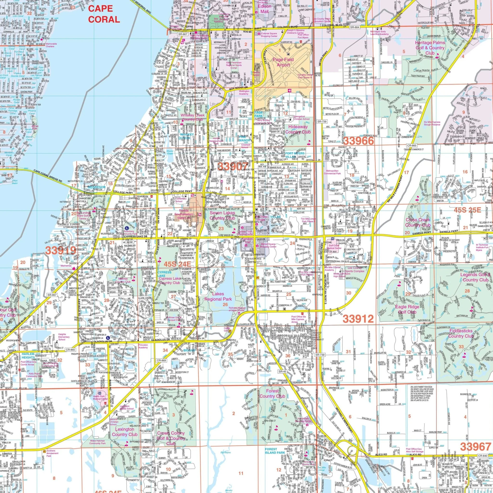
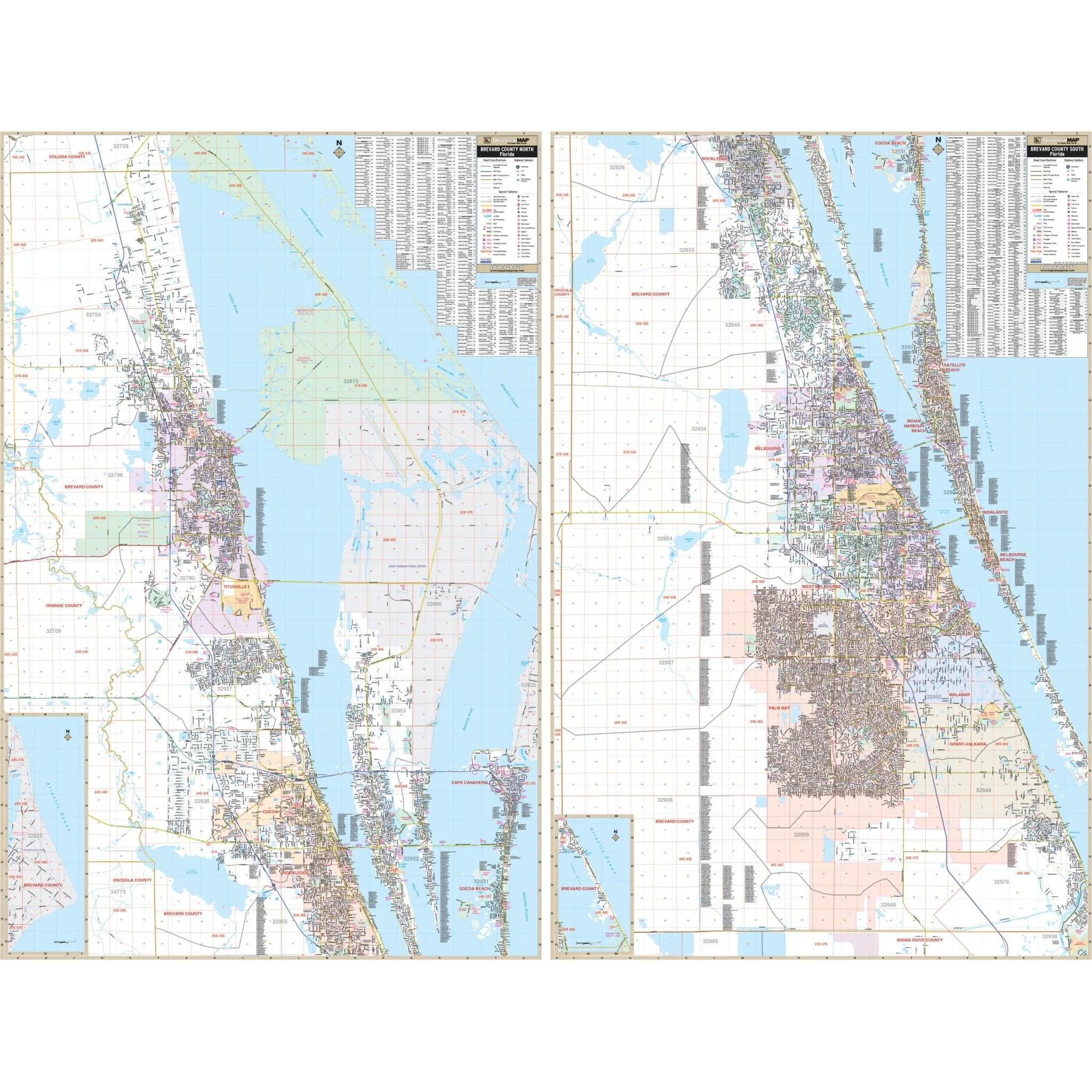
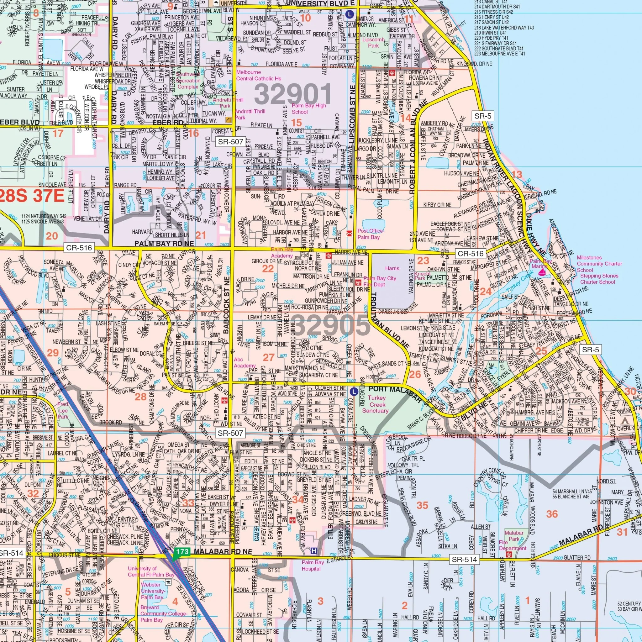
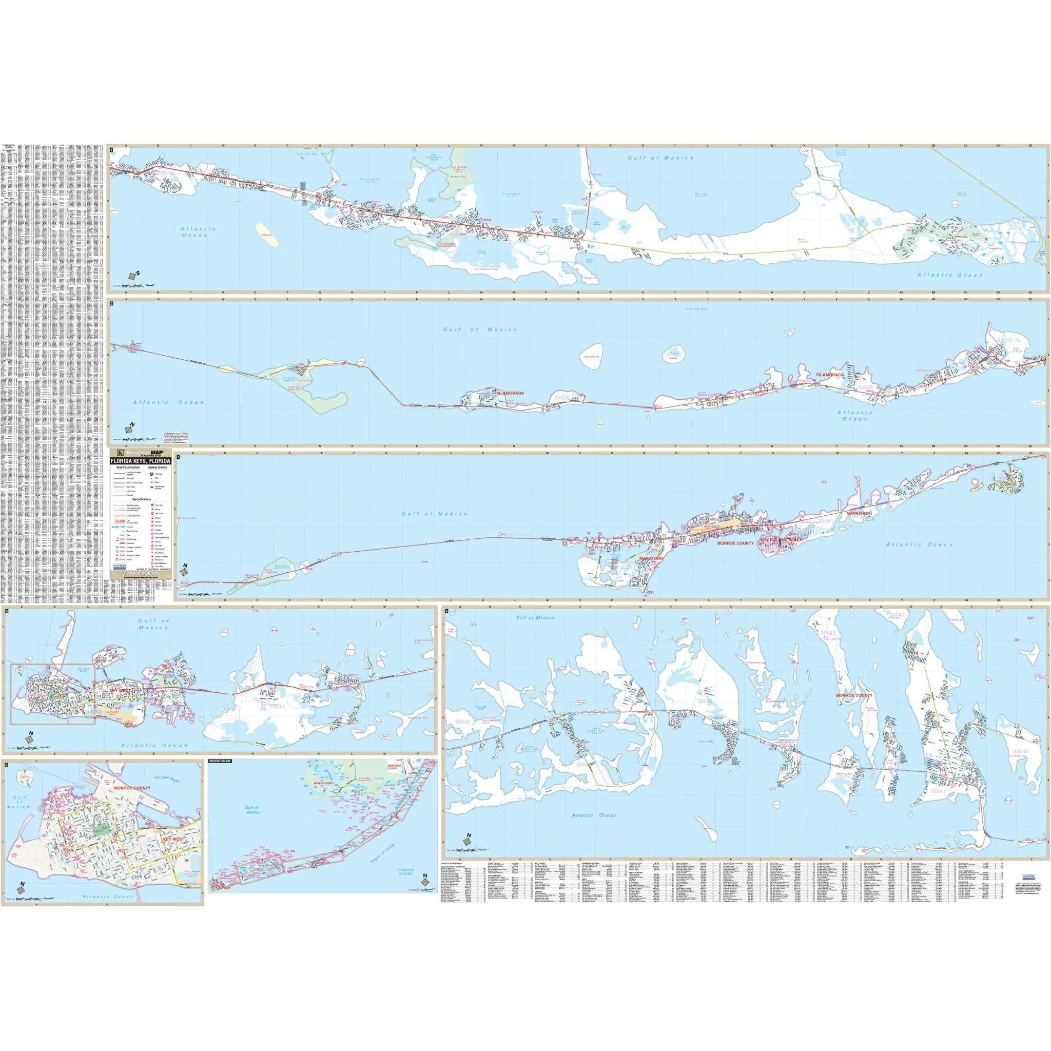
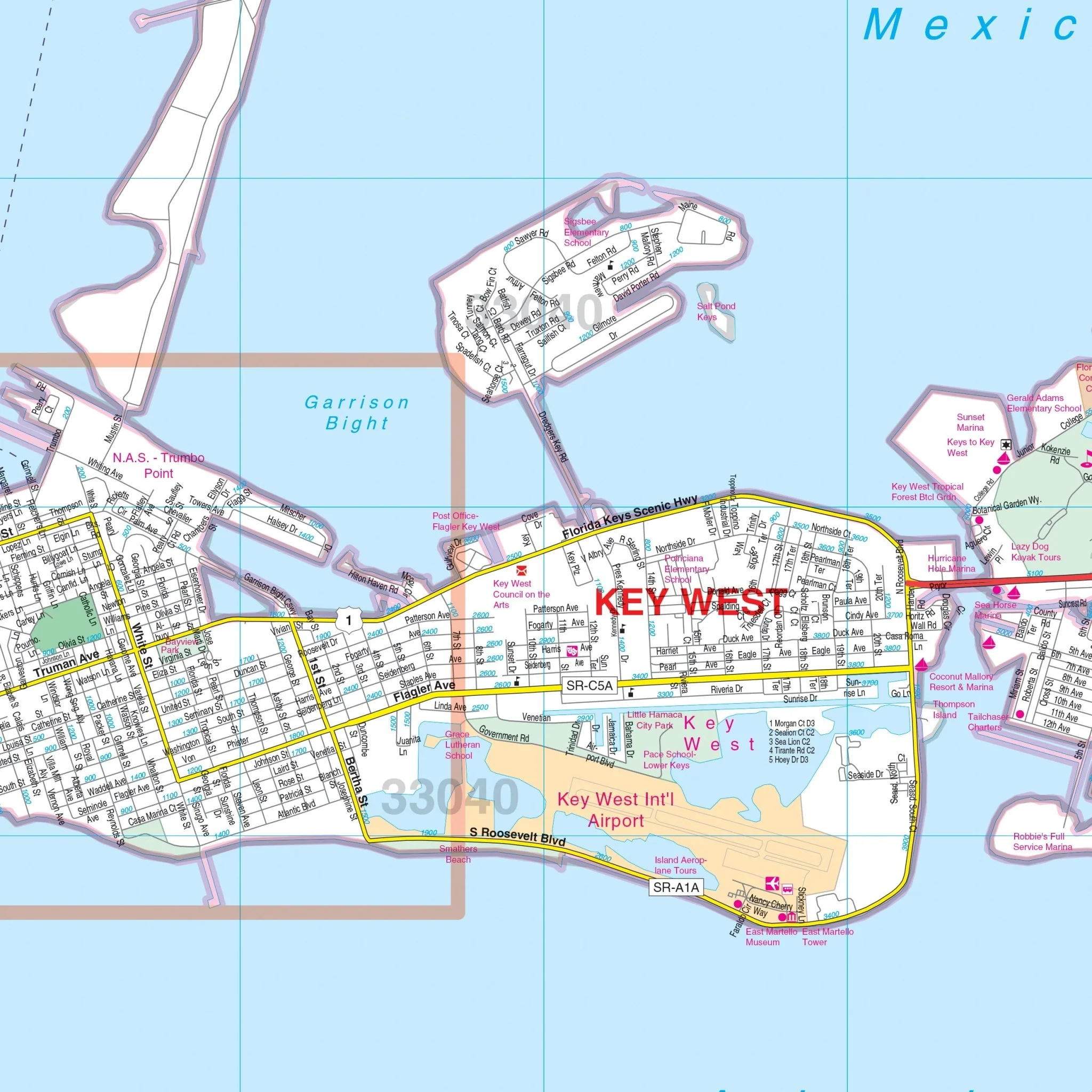
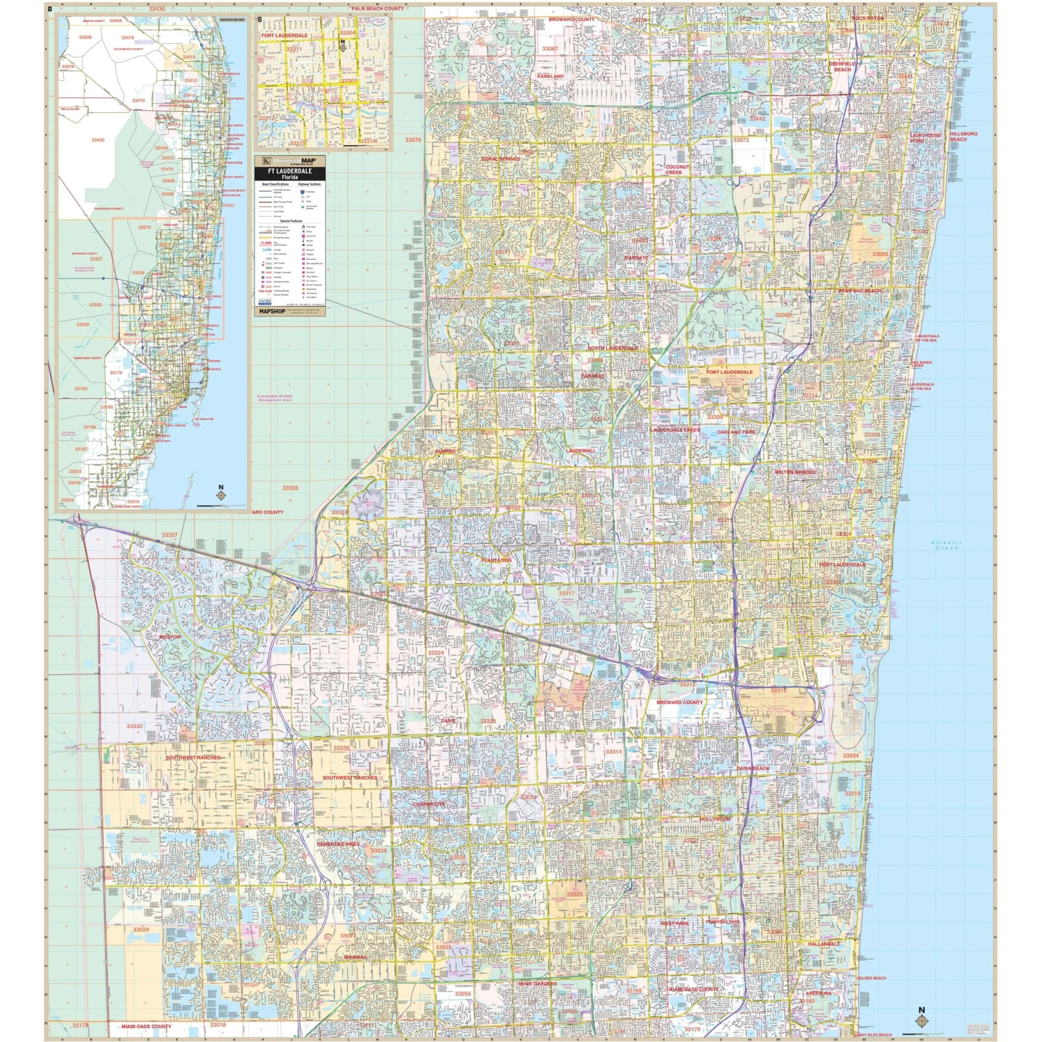
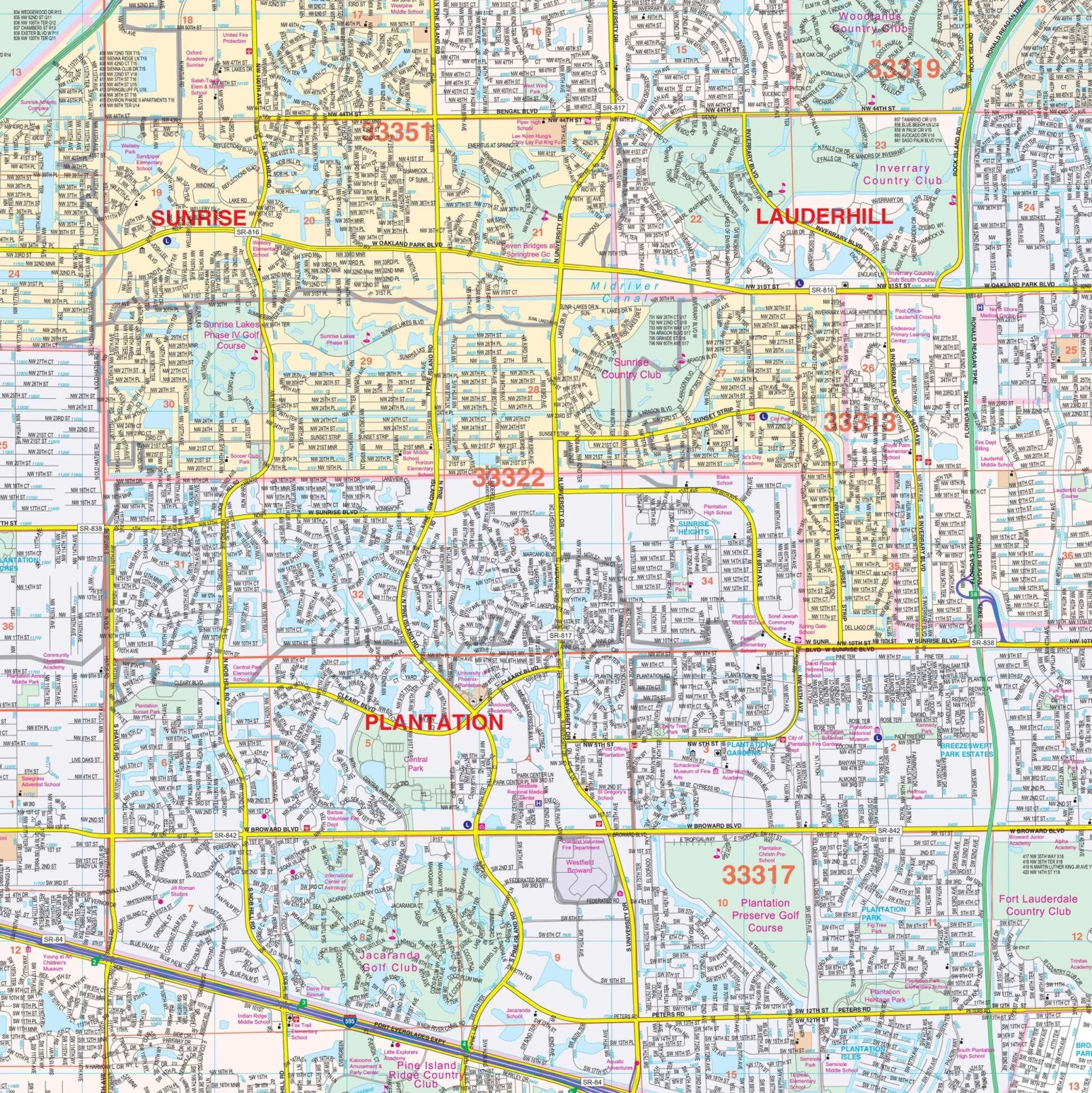
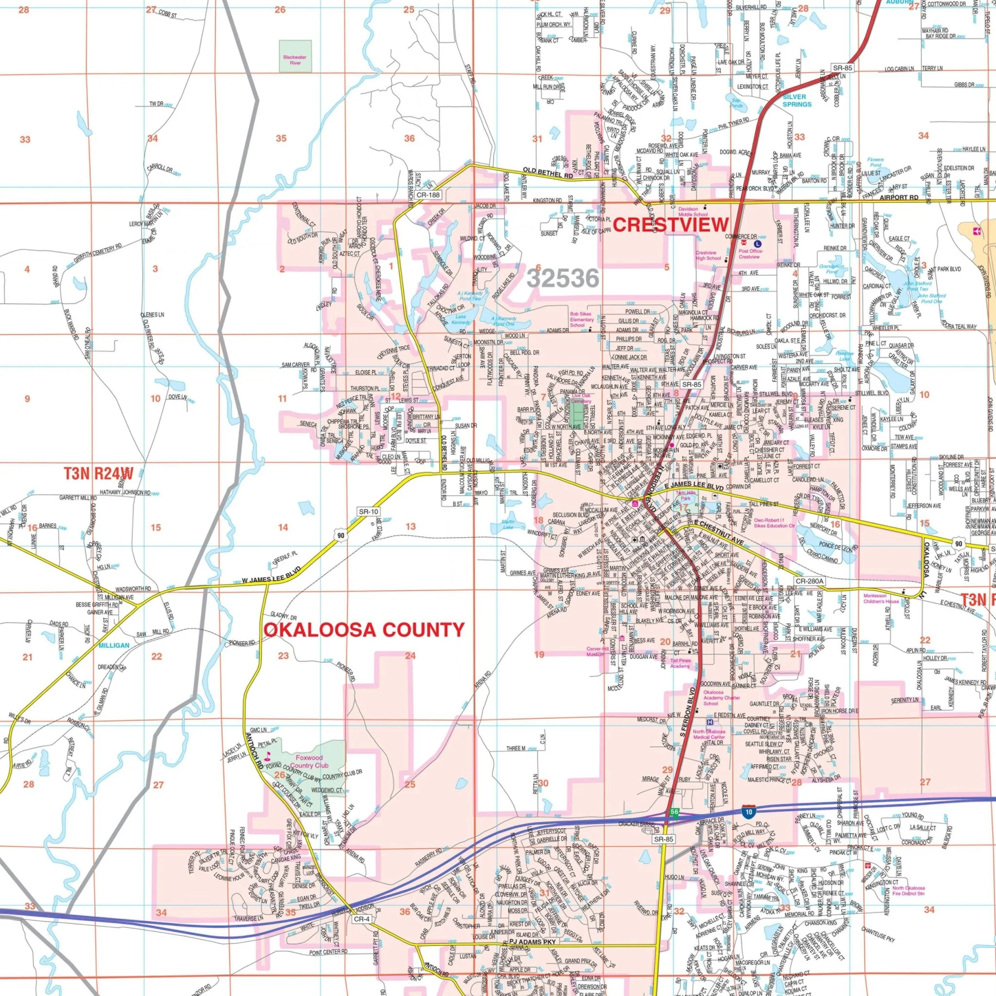
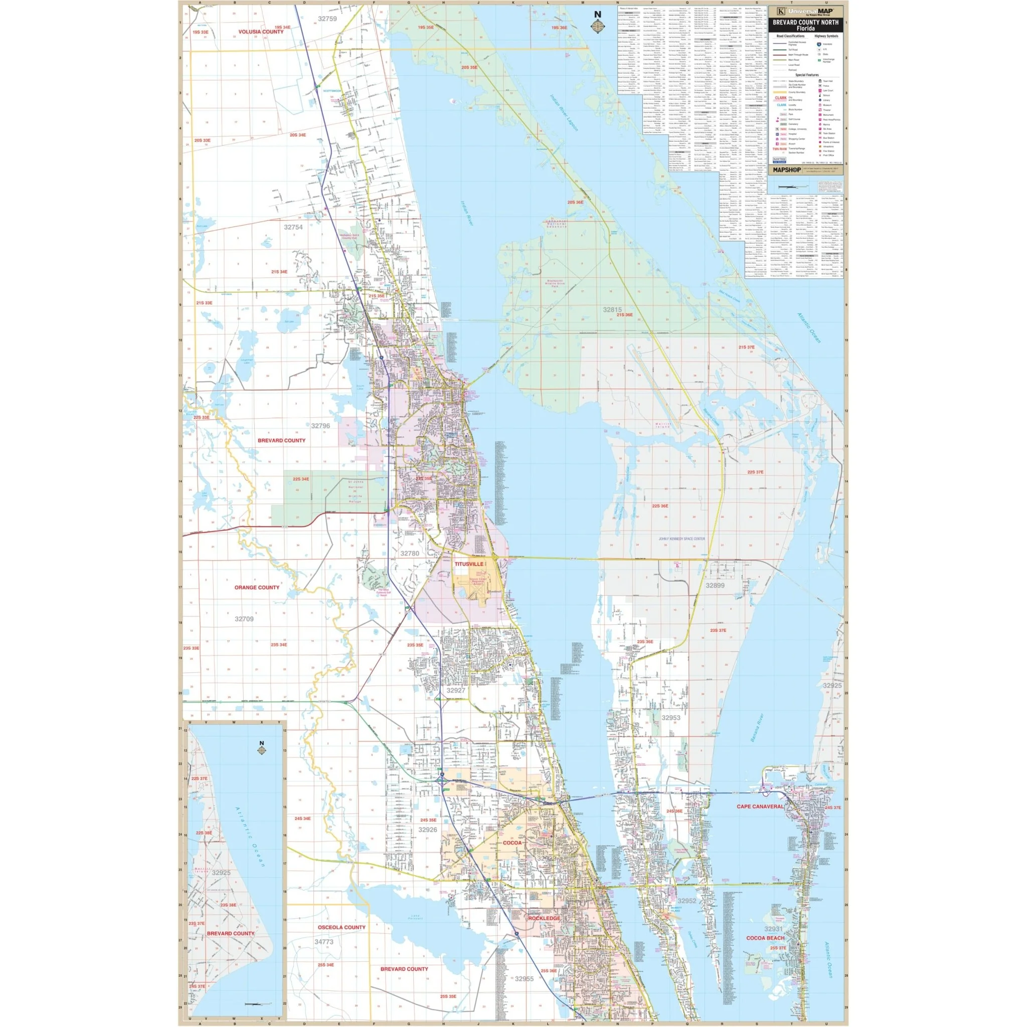
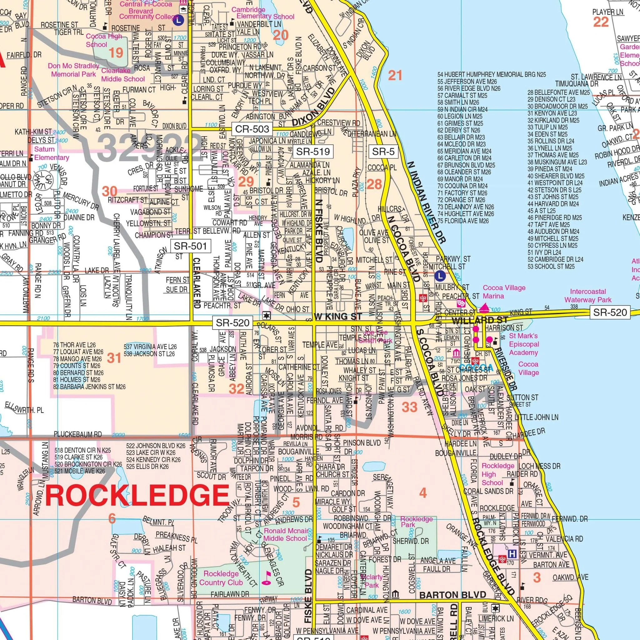
Within this comprehensive map, you'll find a wealth of essential information, including complete street networks, airport locations, government buildings, post offices, cemeteries, fire and police stations, hospitals, shopping centers, educational institutions, railroad depictions, water features, golf and country clubs, mileage circles, recreational parks, ZIP codes and their boundaries, as well as block numbers.
Explore the Orlando, FL Metro Wall Map to gain valuable insights into this dynamic metropolitan area.
Size: 70" x 54"
Published: 2015
Original: $149.99
-70%$149.99
$45.00Product Information
Product Information
Shipping & Returns
Shipping & Returns
Description
Presenting the Orlando, FL Metro Wall Map by Kappa Map Group, skillfully designed to offer a detailed view of the Orlando Metro area. This map provides valuable information without specifying its size, publication date, or recency.
Encompassing the Orlando Metro region, the map's coverage extends as follows:
- To the north, it reaches the Volusia/Seminole County lines, including the Orlando-Sanford Int'l Airport.
- To the south, it extends to the Osceola County line.
- To the east, it includes Christmas.
- To the west, it stretches to the Lake County line.
Additionally, the map features a convenient inset focusing on Downtown Orlando.
Within this comprehensive map, you'll find a wealth of essential information, including complete street networks, airport locations, government buildings, post offices, cemeteries, fire and police stations, hospitals, shopping centers, educational institutions, railroad depictions, water features, golf and country clubs, mileage circles, recreational parks, ZIP codes and their boundaries, as well as block numbers.
Explore the Orlando, FL Metro Wall Map to gain valuable insights into this dynamic metropolitan area.
Size: 70" x 54"
Published: 2015