


Panama City & Bay County, FL Wall Map
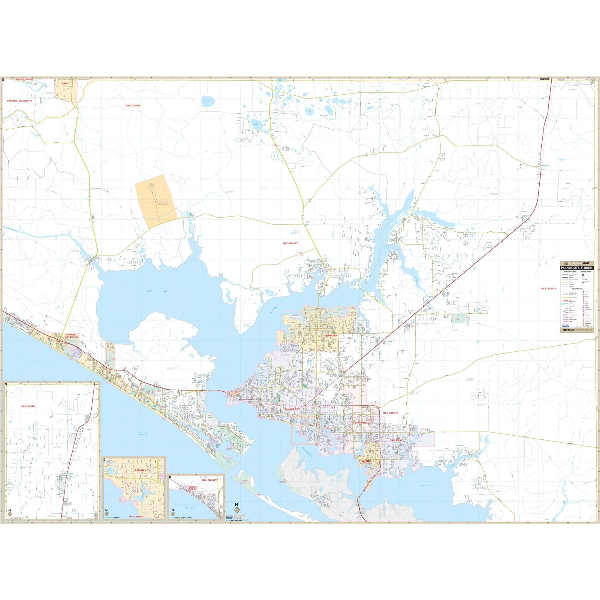
Discover the Panama City and Bay County, FL Wall Map, your comprehensive guide to navigating the beautiful region of Bay County in the Florida Panhandle. This detailed map provides complete street-level detail.
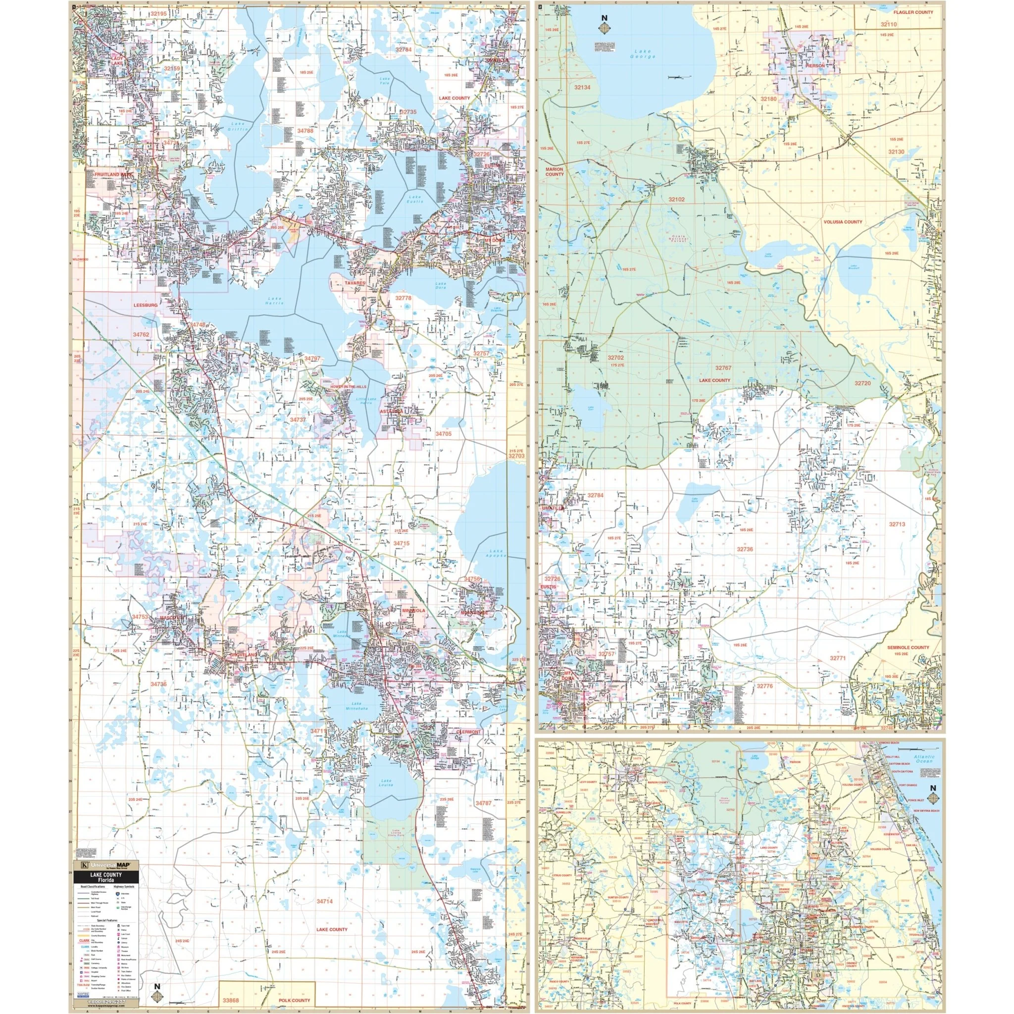
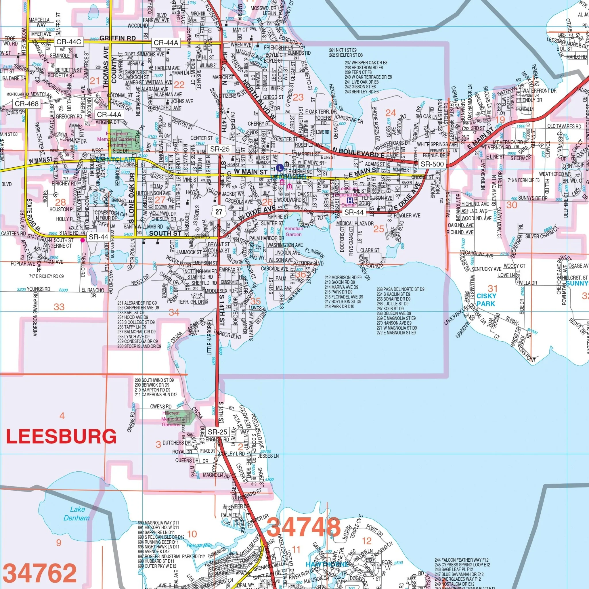
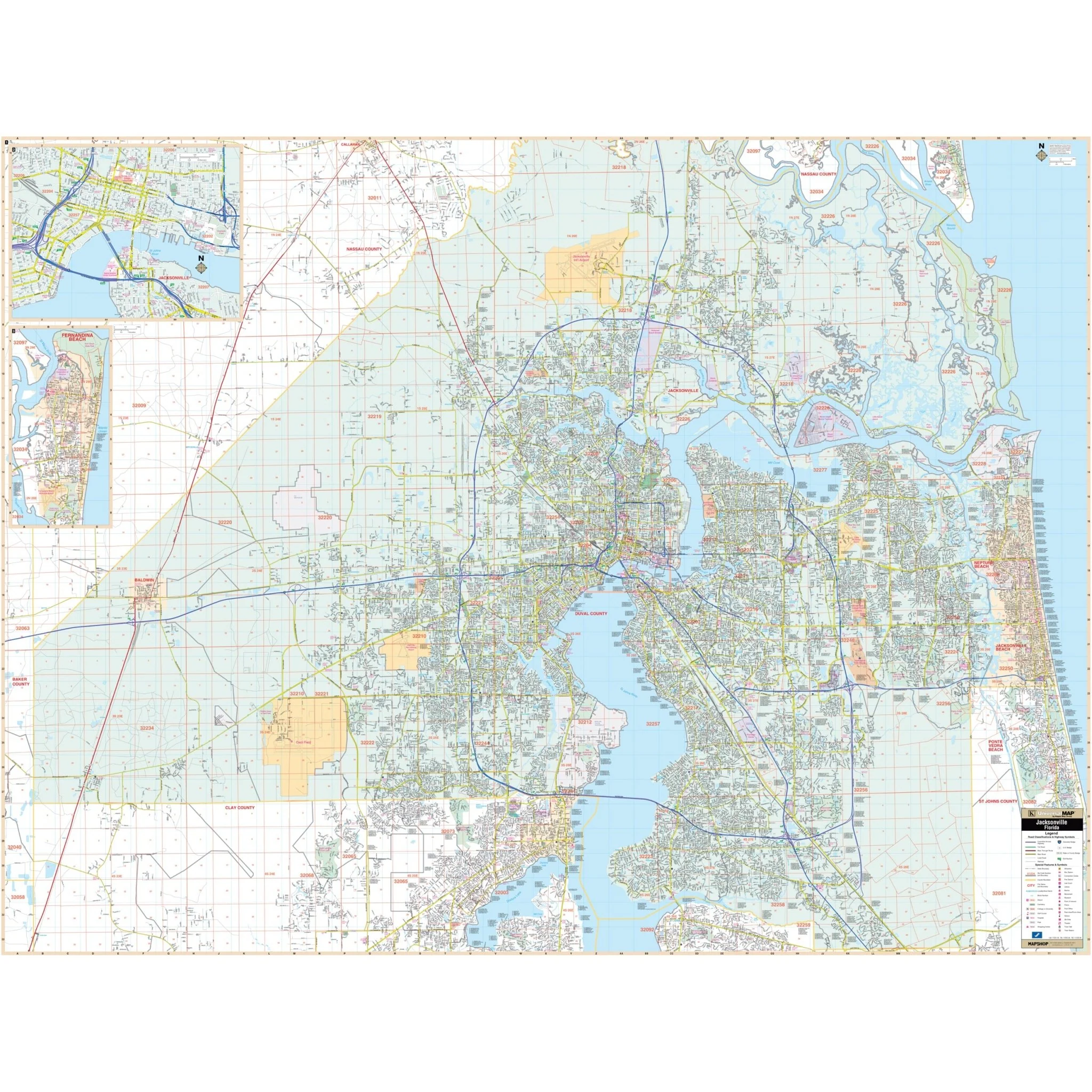
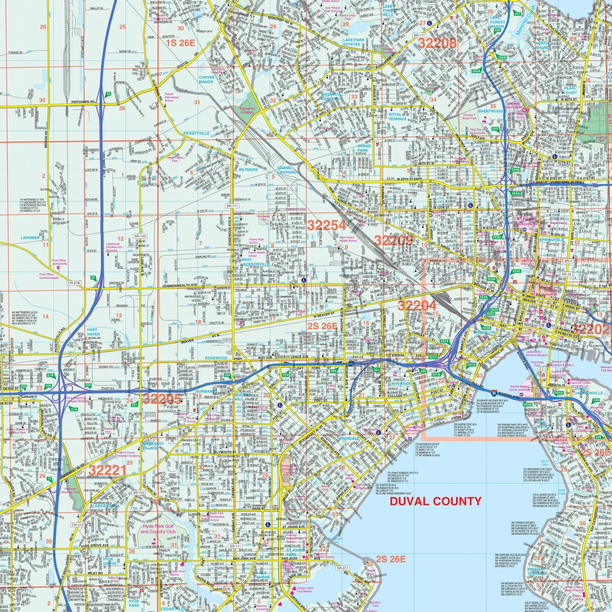
Encompassing all of Bay County, including prominent areas like Panama City, Callaway, Cedar Grove, Lynn Haven, and Panama City Beach, this map is your key to exploring this coastal paradise. It also includes an inset map of Mexico Beach and the northern part of Bay County for your convenience.
Find essential information with ease, as this map highlights airports, cemeteries, city limits, educational institutions, fire and police stations, golf and country clubs, government buildings, hospitals, libraries, neighborhoods, points of interest, post offices, railroads, recreational parks, shopping centers, streets and highways, water features, and ZIP code boundaries.
Whether you're a resident, a visitor, or a business professional, this map is an invaluable resource for understanding and navigating Panama City and Bay County, FL. Explore the region's charm and natural beauty with confidence, thanks to this comprehensive wall map.
Size: 76" x 57"
Published: 2012
Original: $149.99
-70%$149.99
$45.00Product Information
Product Information
Shipping & Returns
Shipping & Returns
Description
Discover the Panama City and Bay County, FL Wall Map, your comprehensive guide to navigating the beautiful region of Bay County in the Florida Panhandle. This detailed map provides complete street-level detail.
Encompassing all of Bay County, including prominent areas like Panama City, Callaway, Cedar Grove, Lynn Haven, and Panama City Beach, this map is your key to exploring this coastal paradise. It also includes an inset map of Mexico Beach and the northern part of Bay County for your convenience.
Find essential information with ease, as this map highlights airports, cemeteries, city limits, educational institutions, fire and police stations, golf and country clubs, government buildings, hospitals, libraries, neighborhoods, points of interest, post offices, railroads, recreational parks, shopping centers, streets and highways, water features, and ZIP code boundaries.
Whether you're a resident, a visitor, or a business professional, this map is an invaluable resource for understanding and navigating Panama City and Bay County, FL. Explore the region's charm and natural beauty with confidence, thanks to this comprehensive wall map.
Size: 76" x 57"
Published: 2012