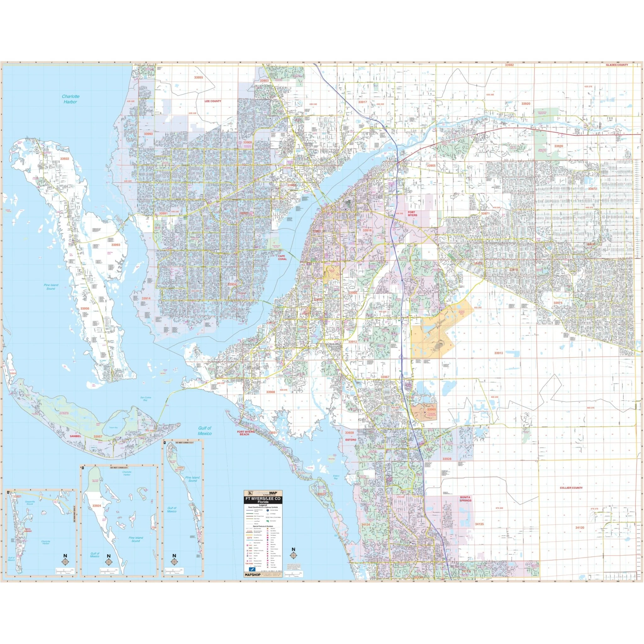
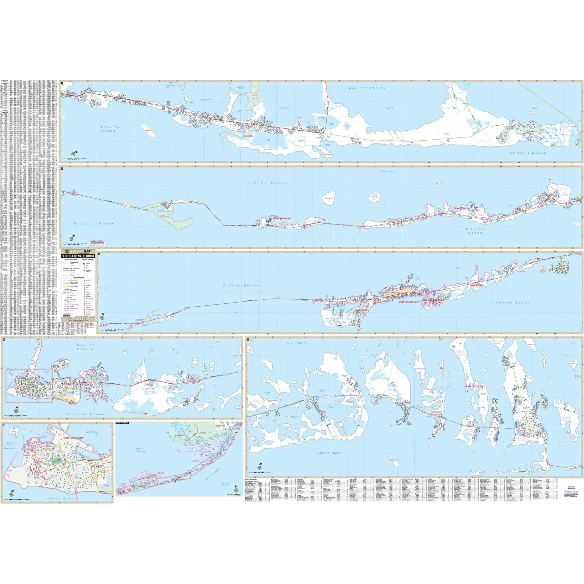
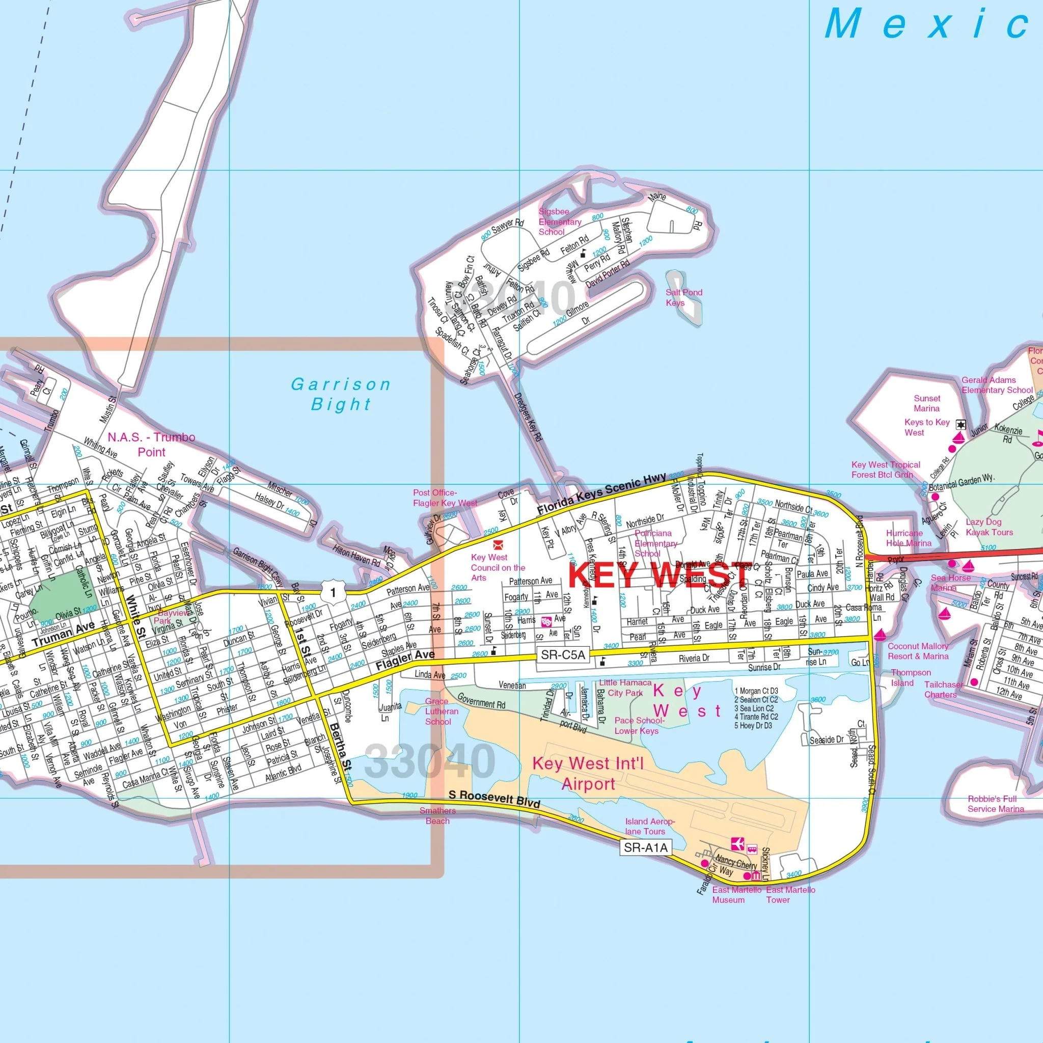
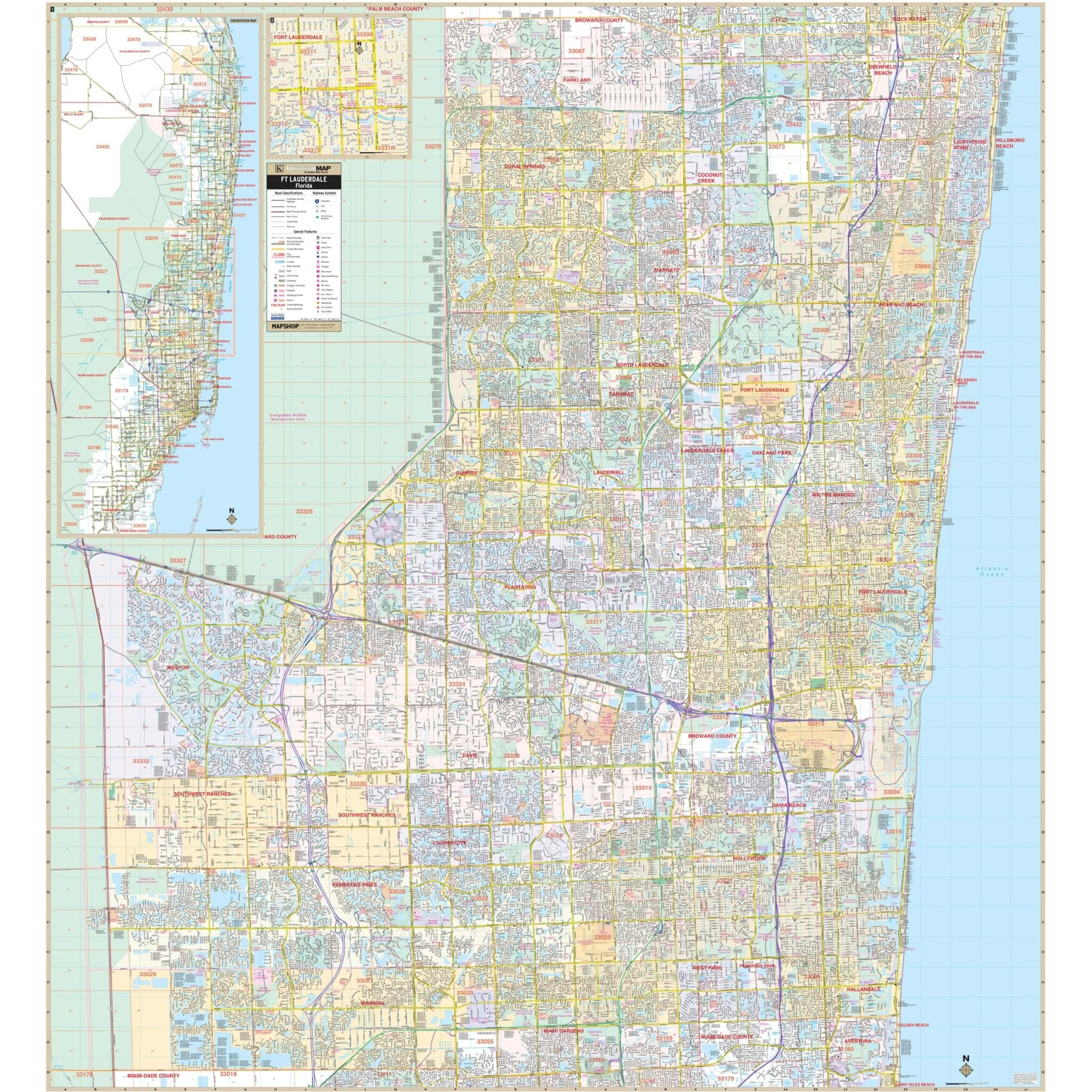
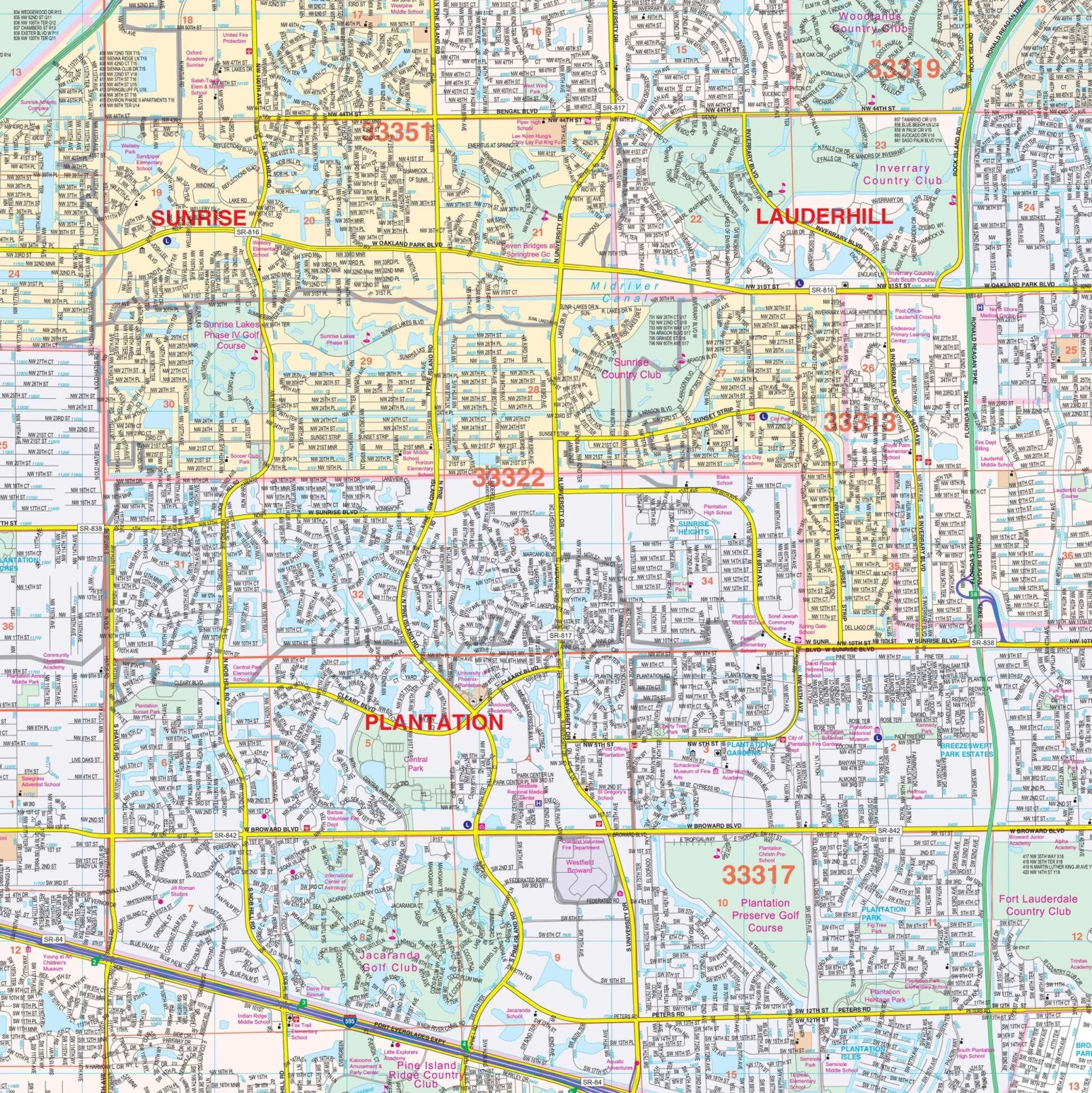
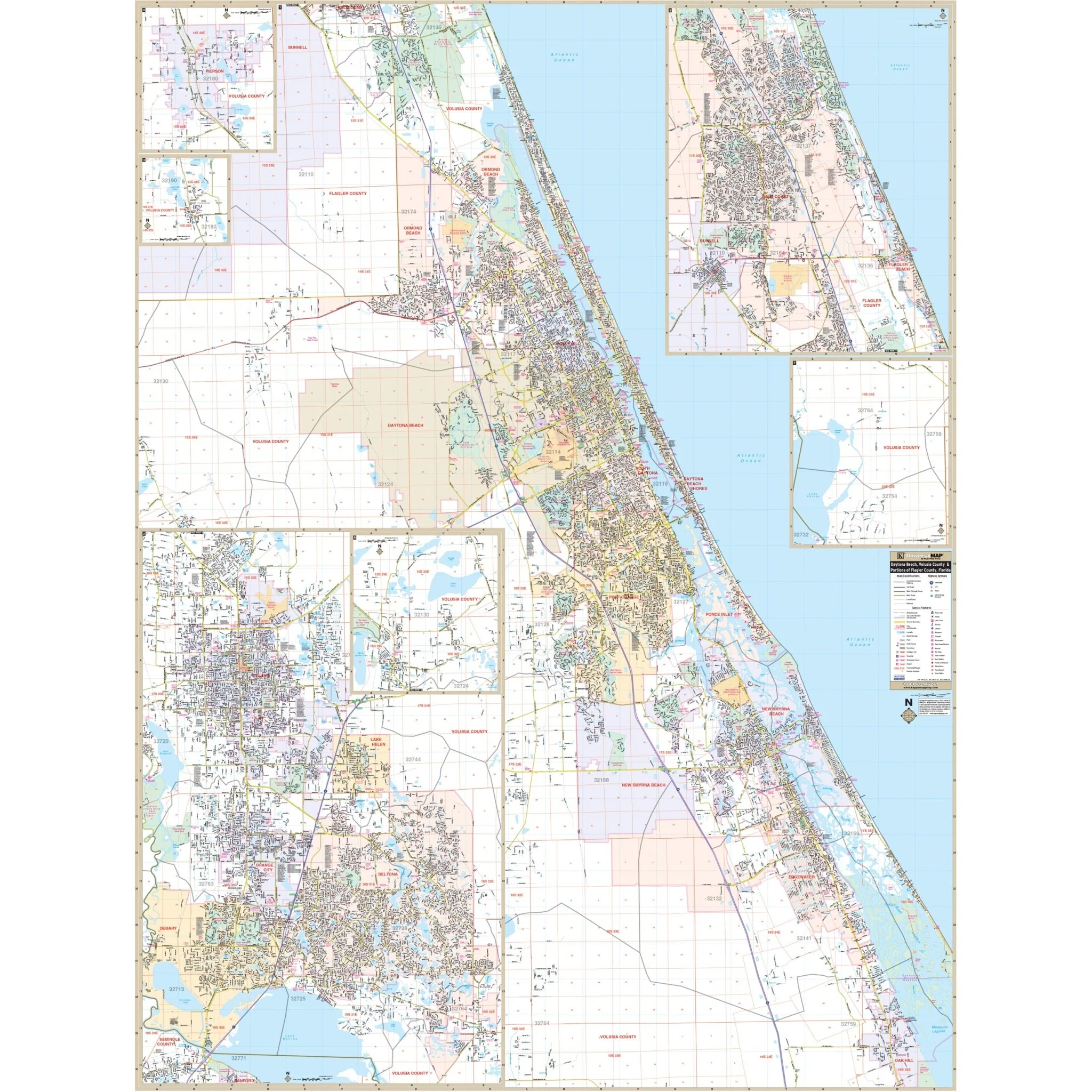
Seminole County, FL Wall Map
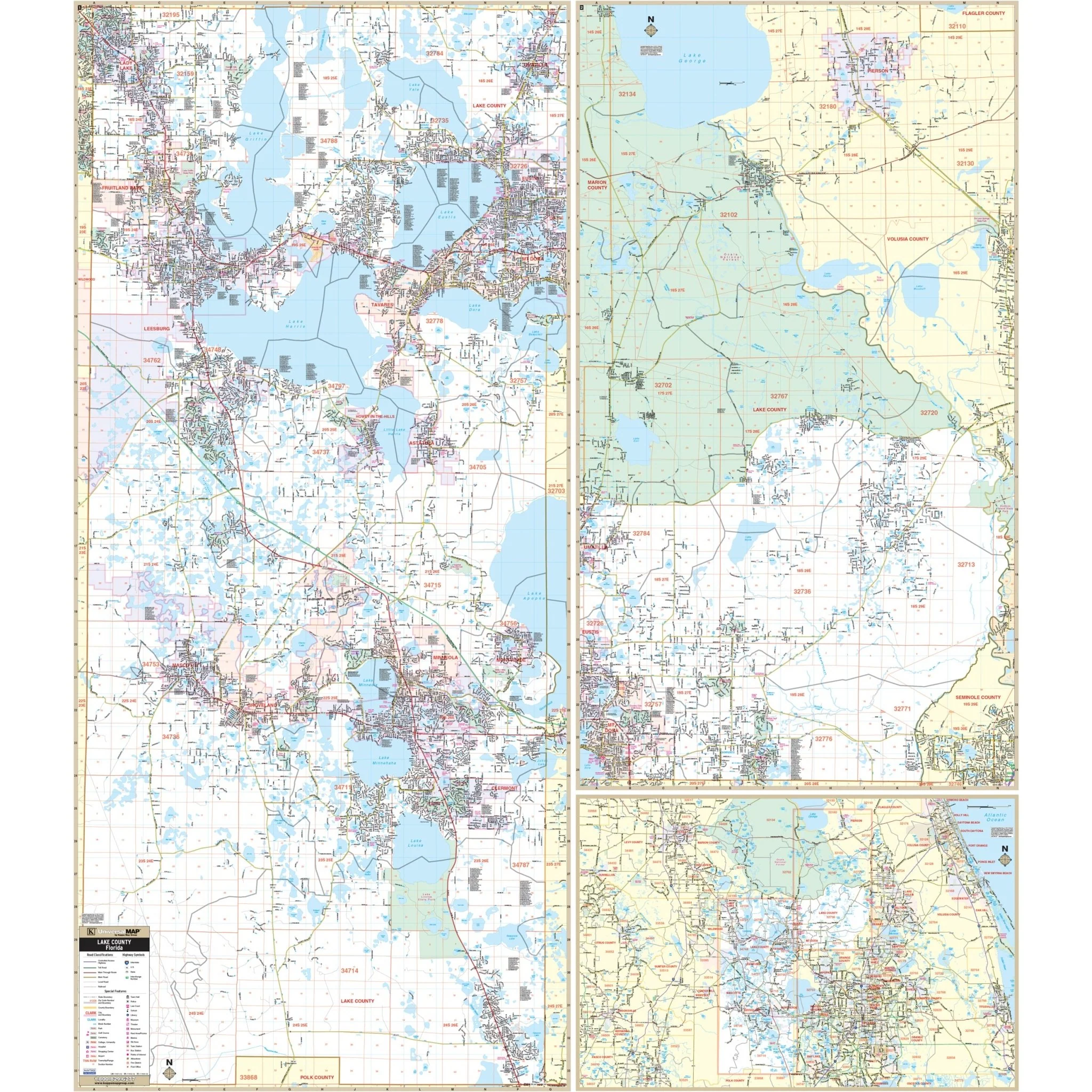
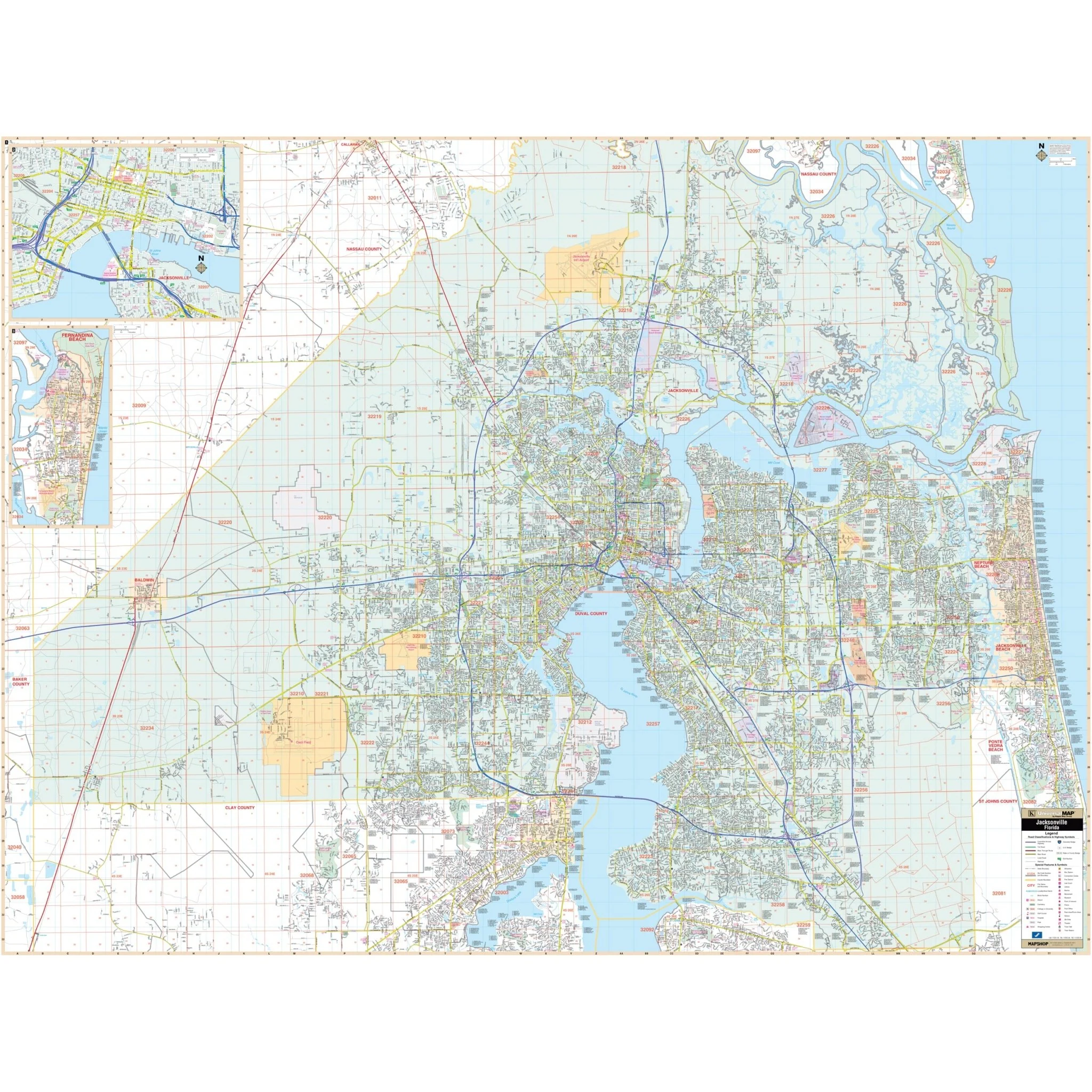
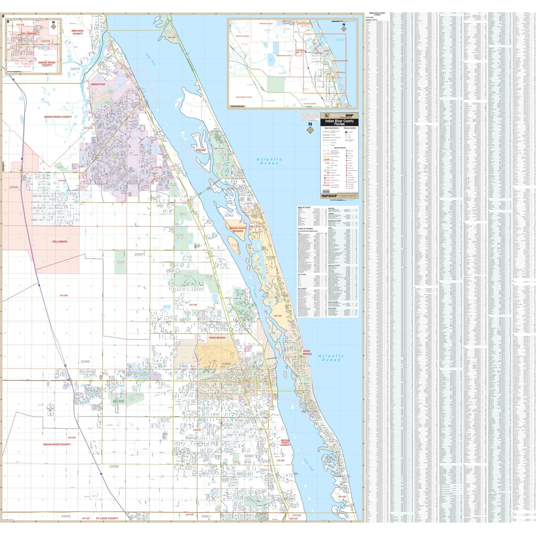
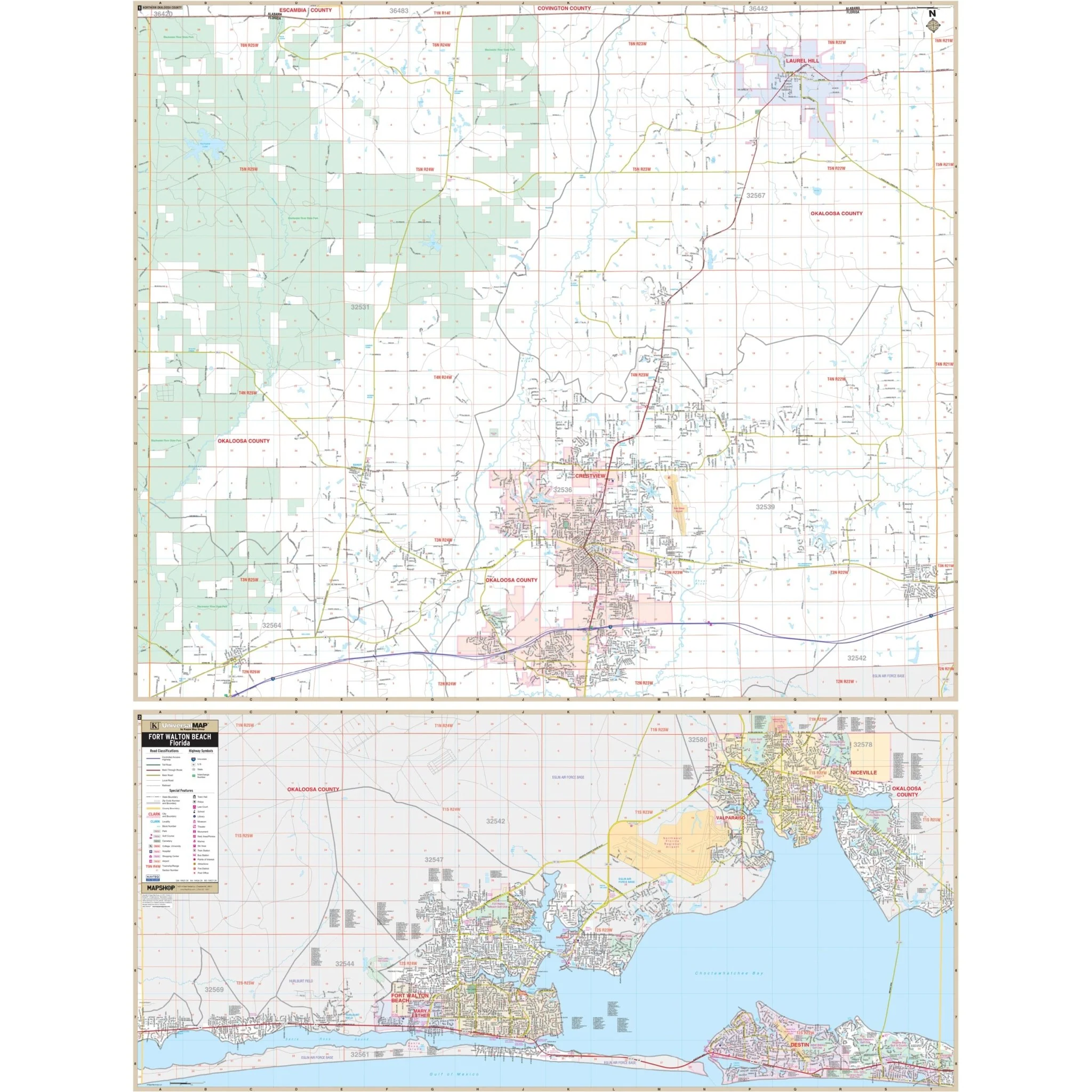
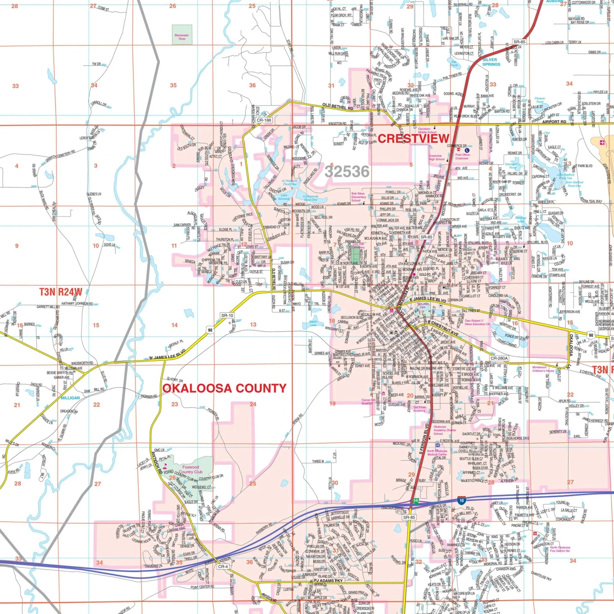
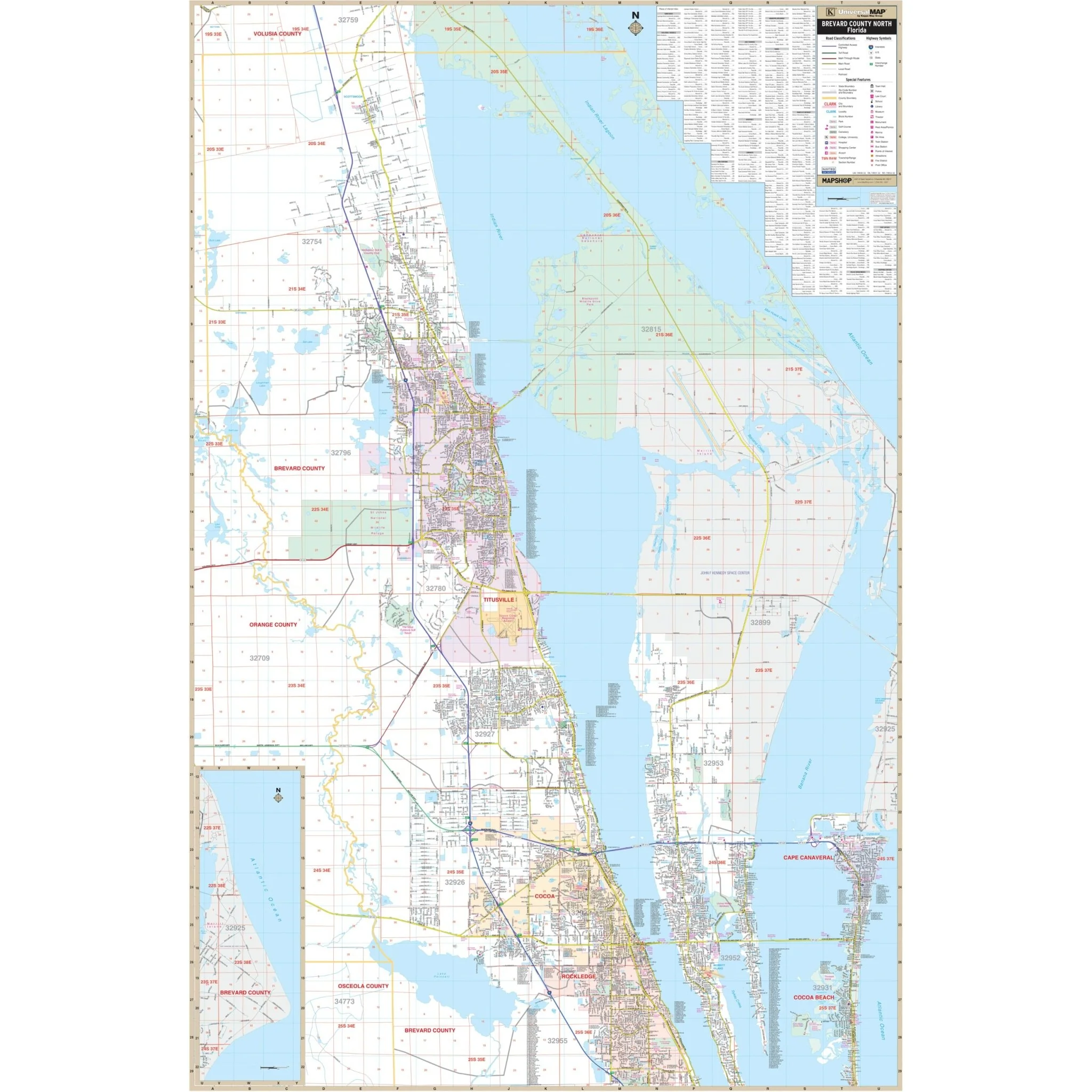
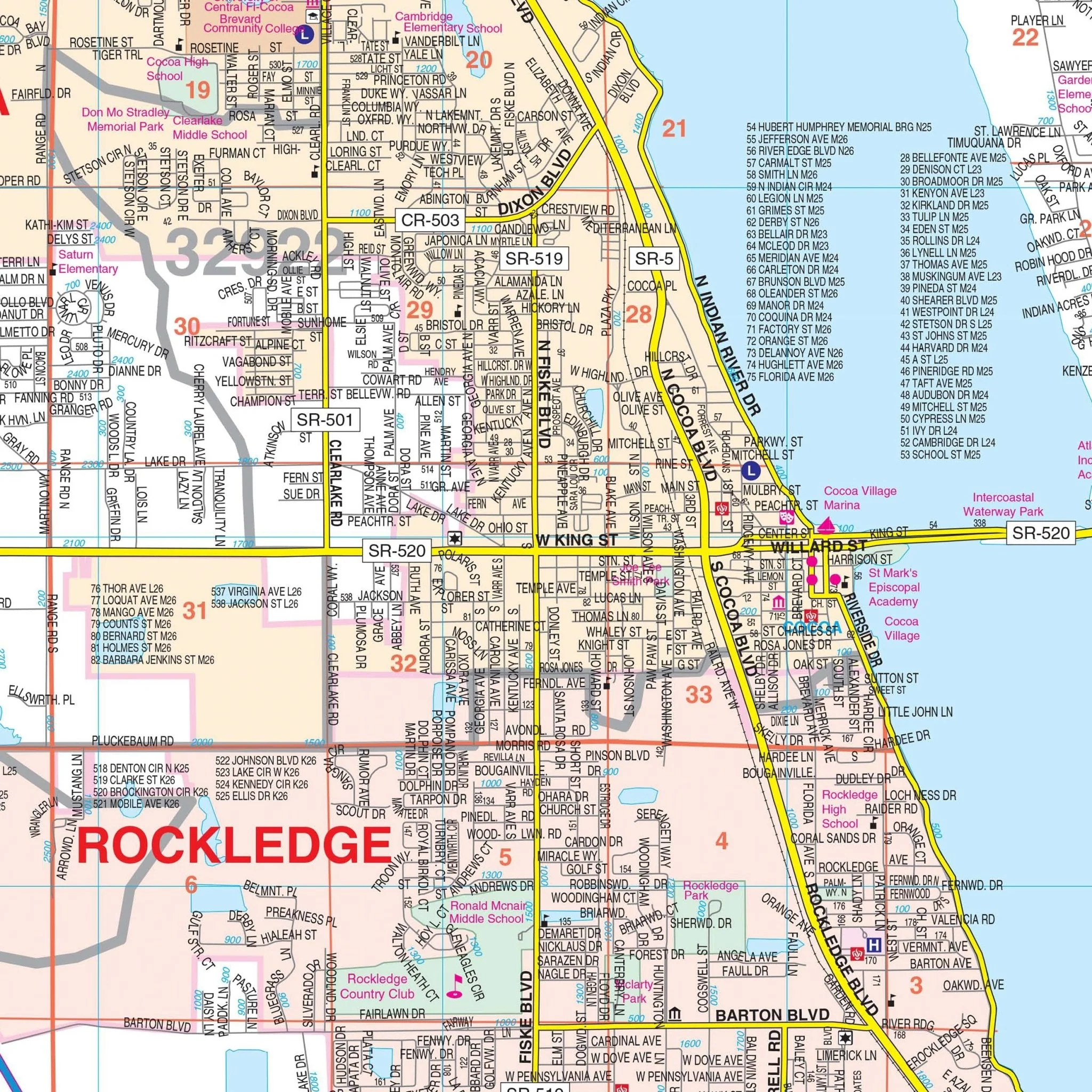
Explore Seminole County, FL, in all its detail with this comprehensive wall map. This map covers the entirety of Seminole County, serving as an invaluable resource for both residents and visitors.
The coverage extends to the north, including Lake Monroe and the Volusia County line. To the south, it encompasses SR 50 in Orange County, providing a clear and comprehensive view of the area. In the east, you'll find the Volusia County line, while the western boundary meets the Orange County line.
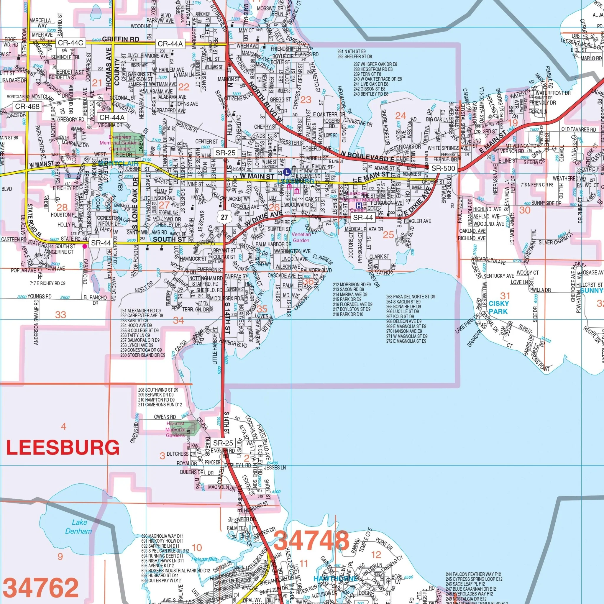
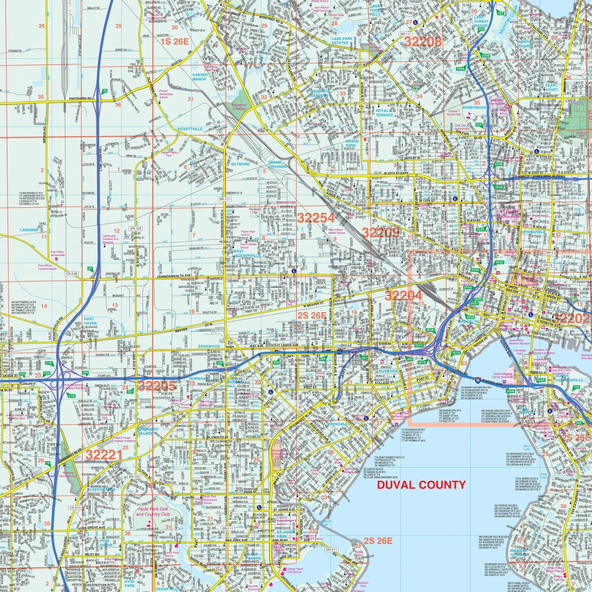
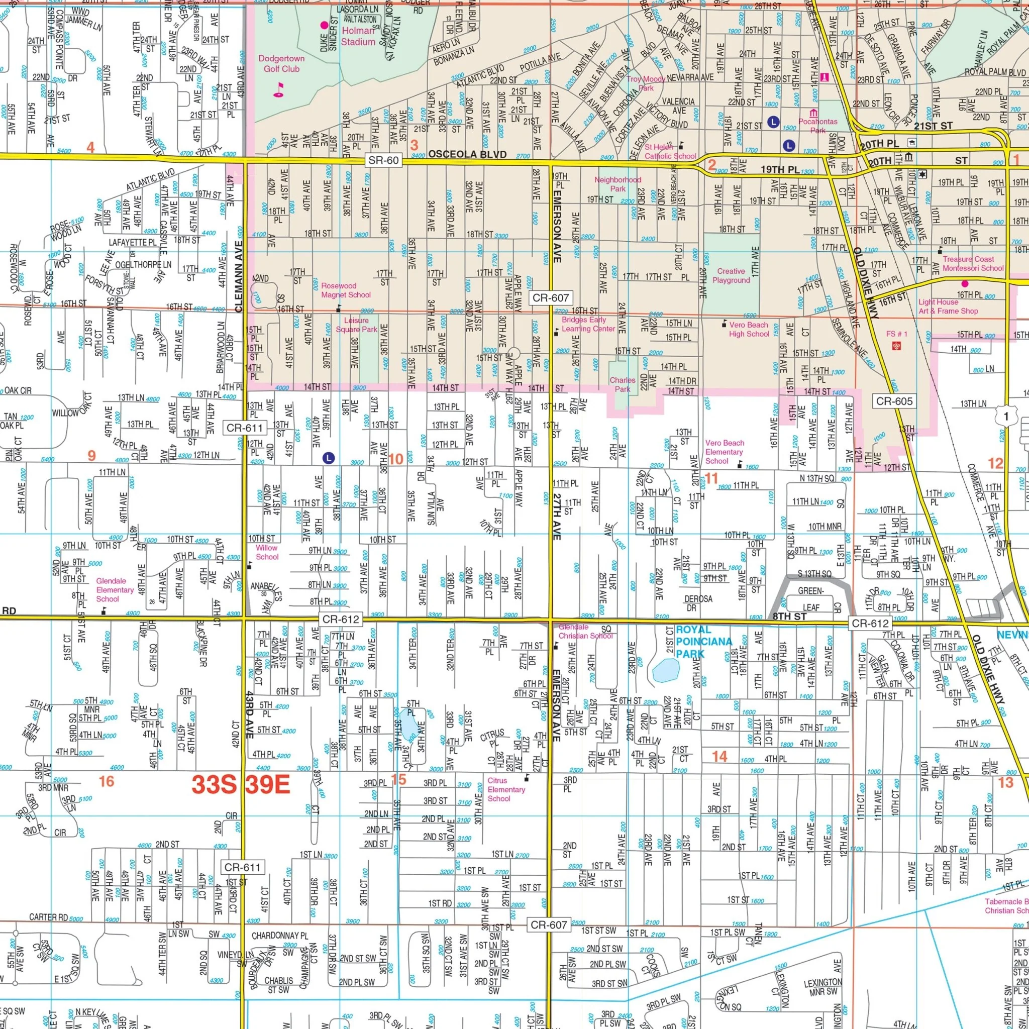
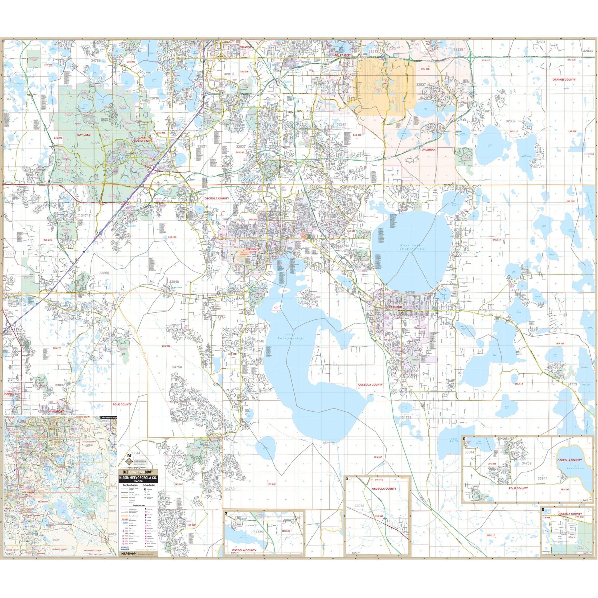
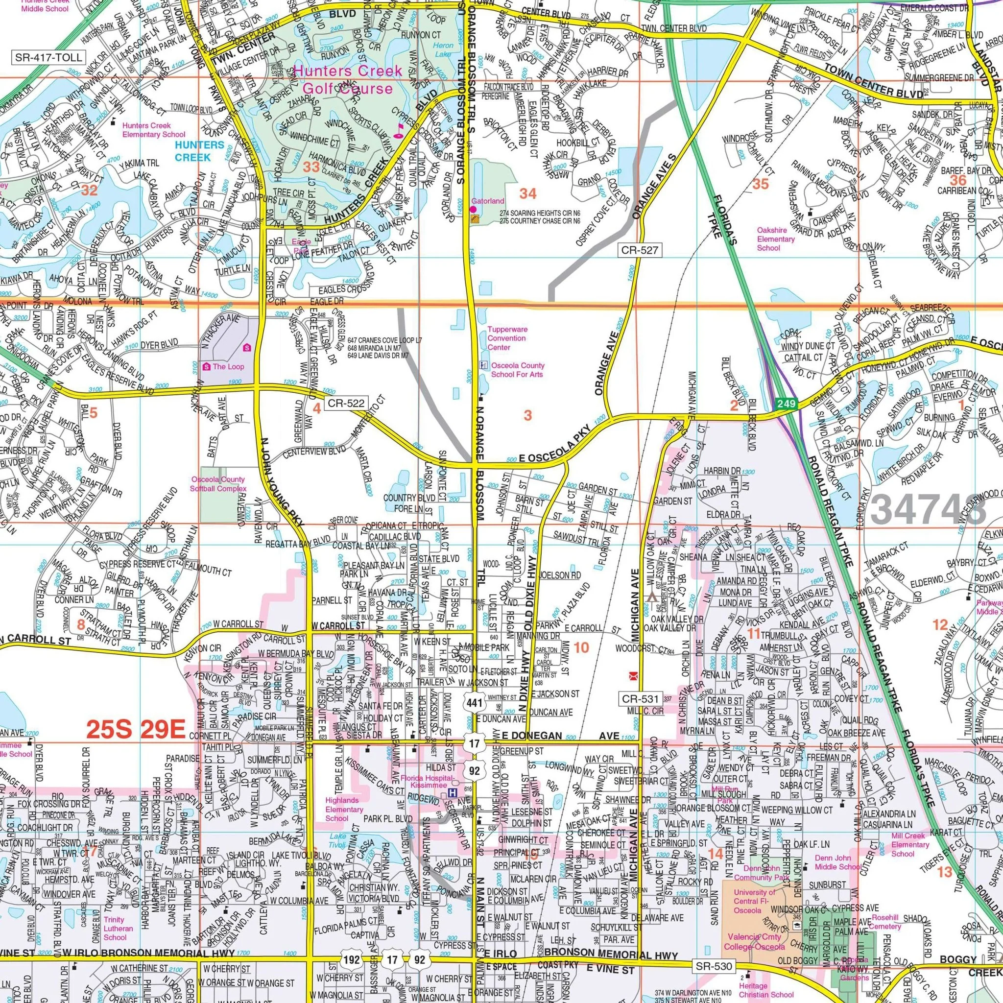
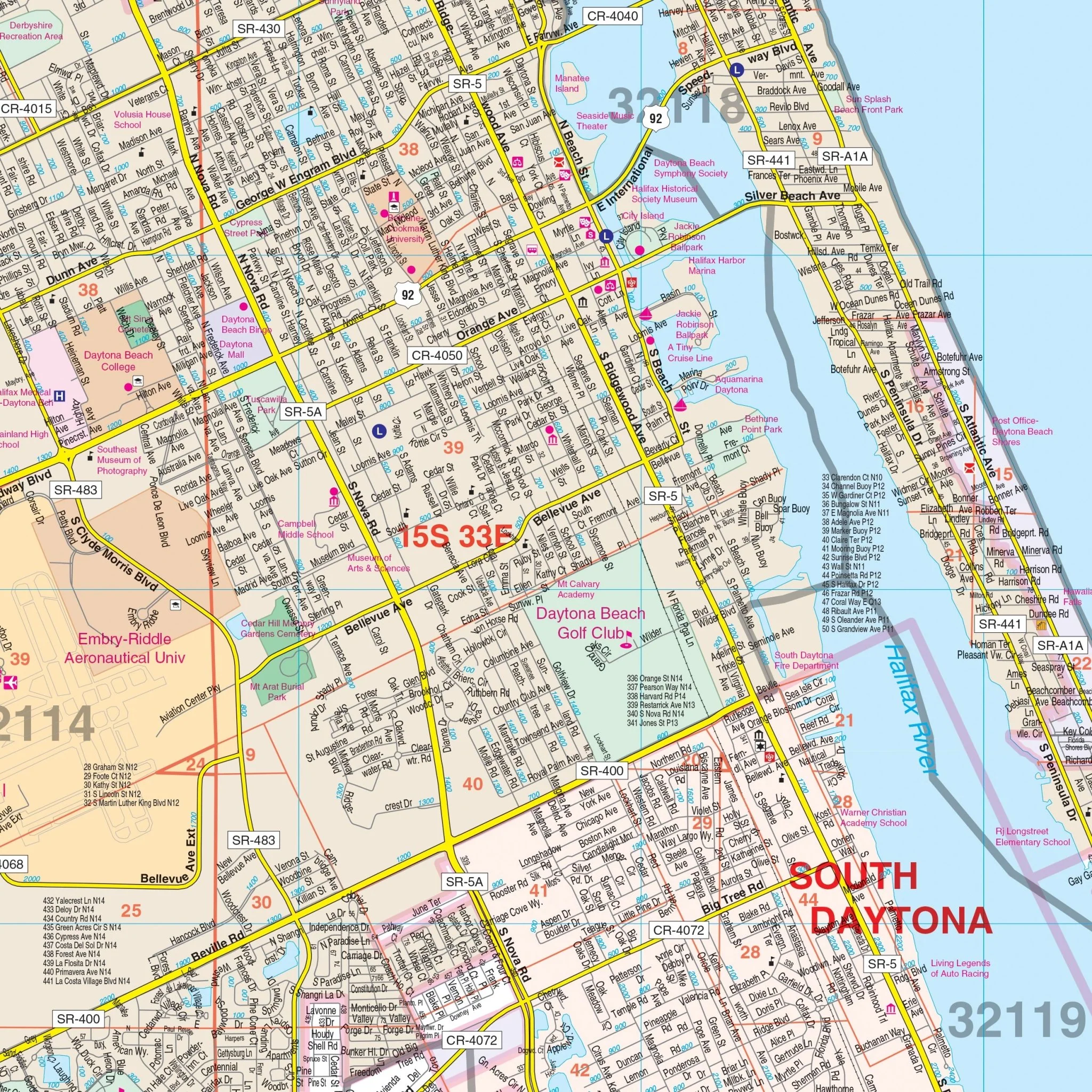
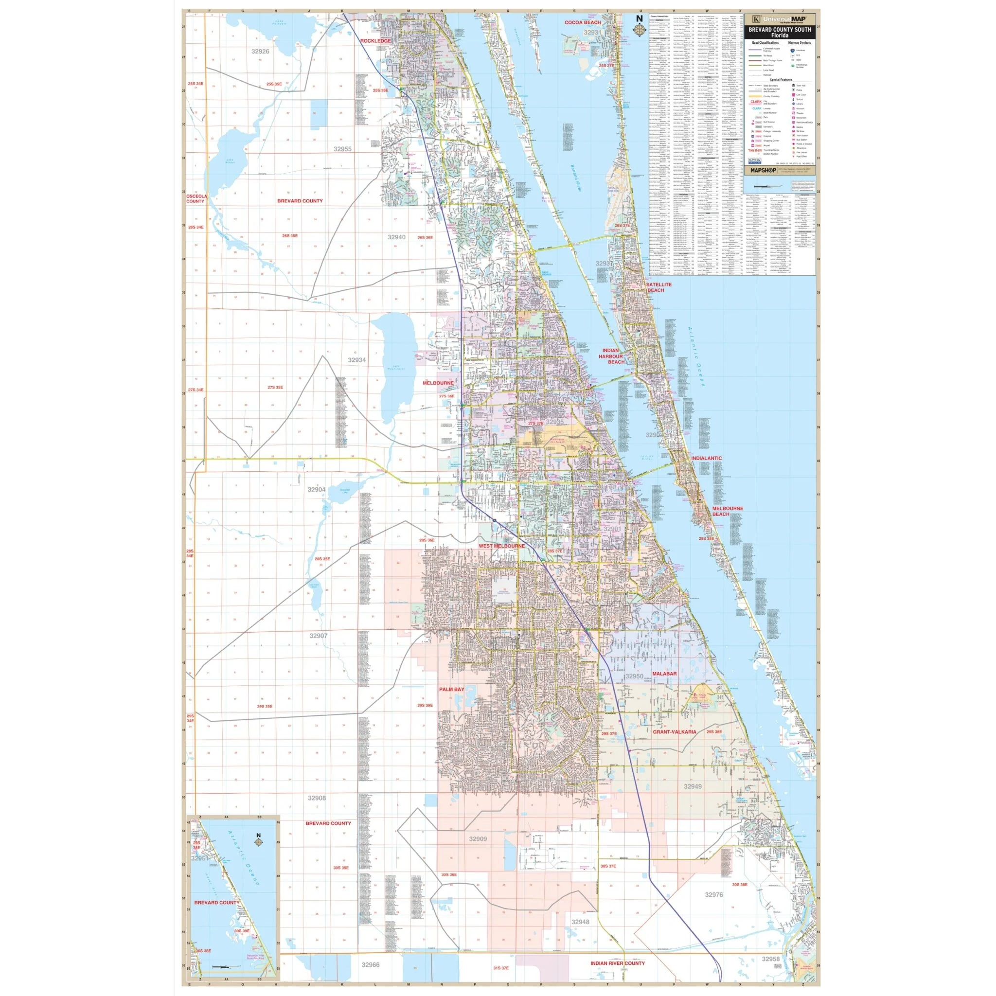
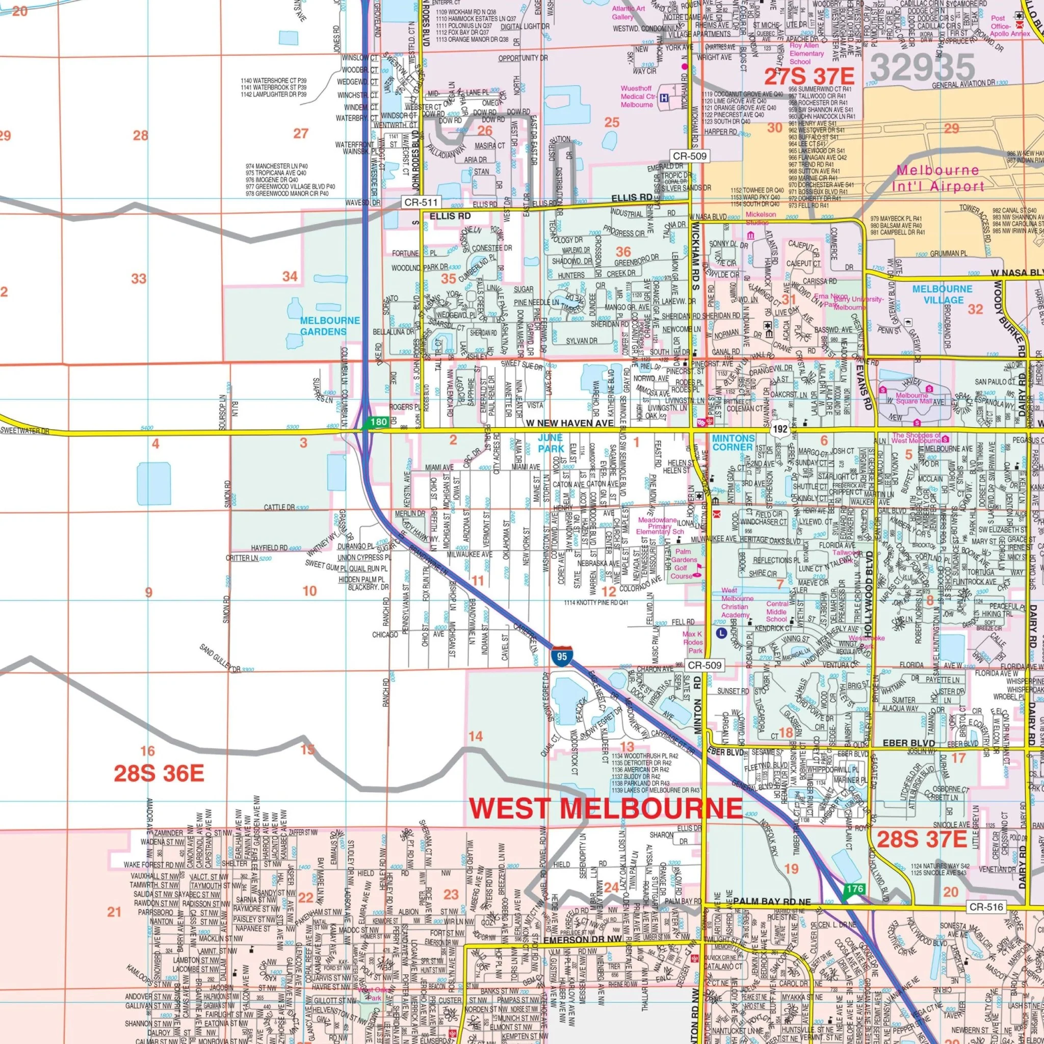
This meticulously crafted map provides a wealth of information, including the locations of airports, block numbers, cemeteries, educational institutions, fire and police stations, golf and country clubs, government buildings, hospitals, libraries, points of interest, post offices, railroads, recreational parks, shopping centers, streets and highways, and water features.
Whether you're a resident navigating the county or a visitor exploring its attractions, the Seminole County wall map is your reliable guide to this vibrant and diverse region.
Size: 71.5" x 57"
Published: 2015
Original: $299.99
-70%$299.99
$90.00Product Information
Product Information
Shipping & Returns
Shipping & Returns
Description
Explore Seminole County, FL, in all its detail with this comprehensive wall map. This map covers the entirety of Seminole County, serving as an invaluable resource for both residents and visitors.
The coverage extends to the north, including Lake Monroe and the Volusia County line. To the south, it encompasses SR 50 in Orange County, providing a clear and comprehensive view of the area. In the east, you'll find the Volusia County line, while the western boundary meets the Orange County line.
This meticulously crafted map provides a wealth of information, including the locations of airports, block numbers, cemeteries, educational institutions, fire and police stations, golf and country clubs, government buildings, hospitals, libraries, points of interest, post offices, railroads, recreational parks, shopping centers, streets and highways, and water features.
Whether you're a resident navigating the county or a visitor exploring its attractions, the Seminole County wall map is your reliable guide to this vibrant and diverse region.
Size: 71.5" x 57"
Published: 2015