

Southeast Florida Regional Wall Map
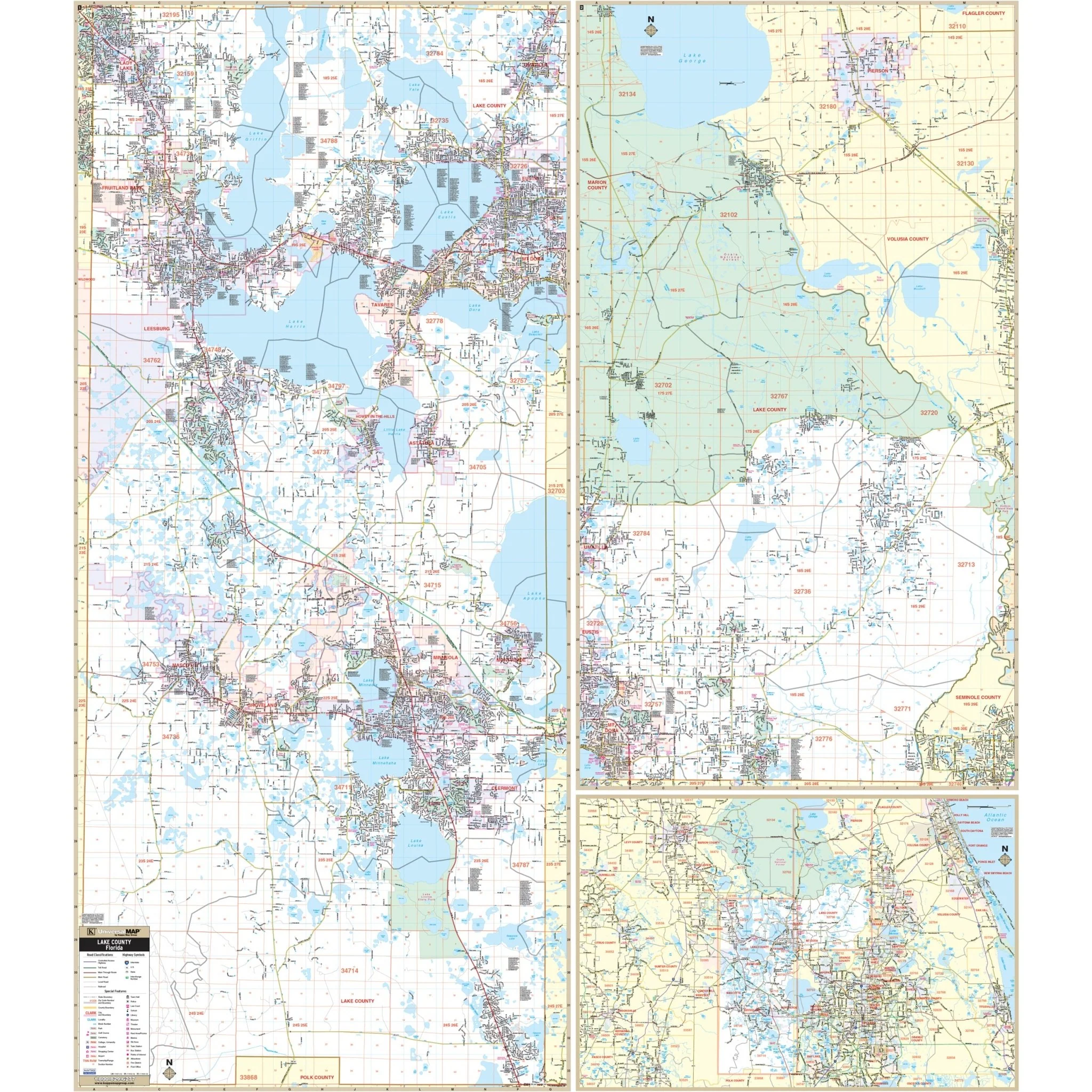
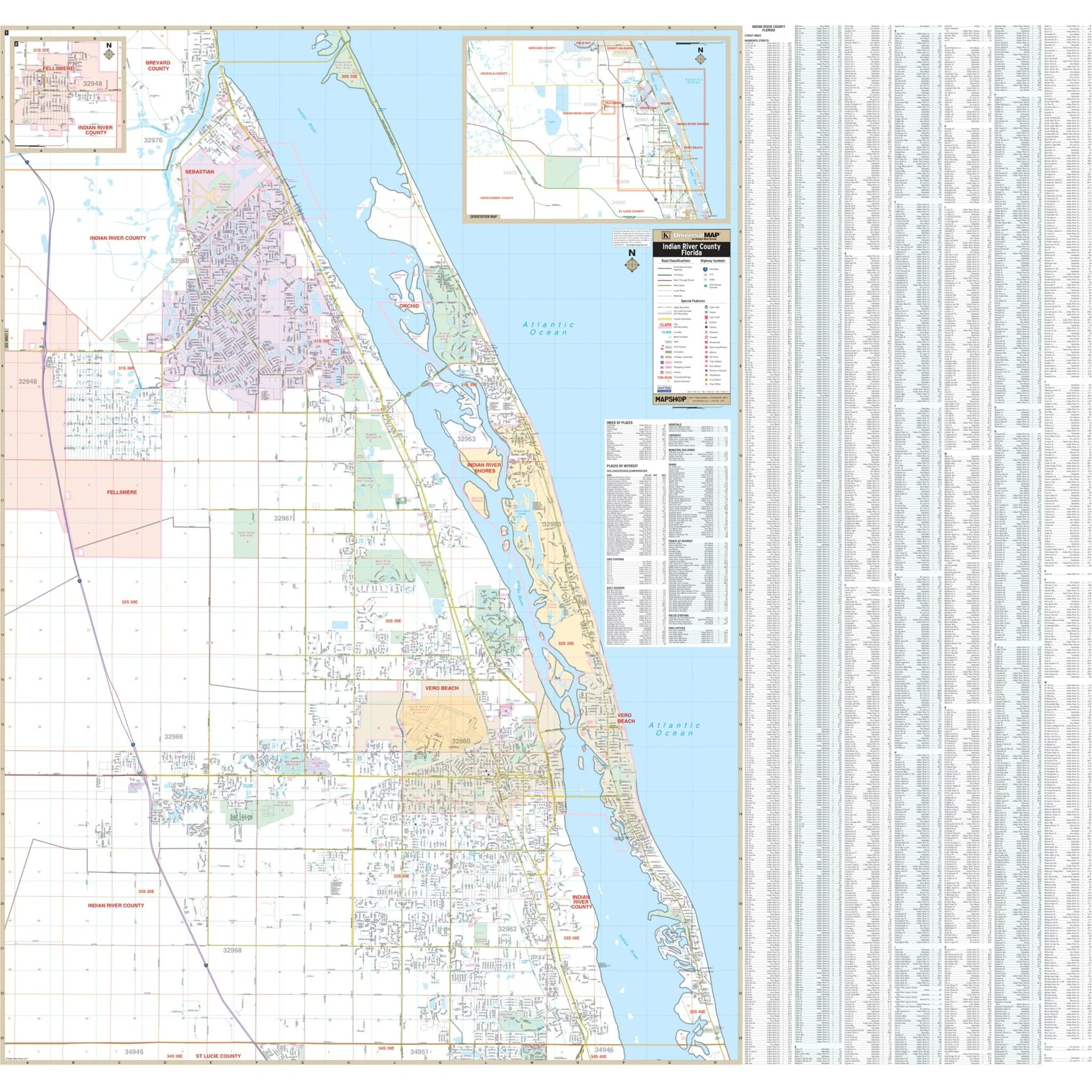
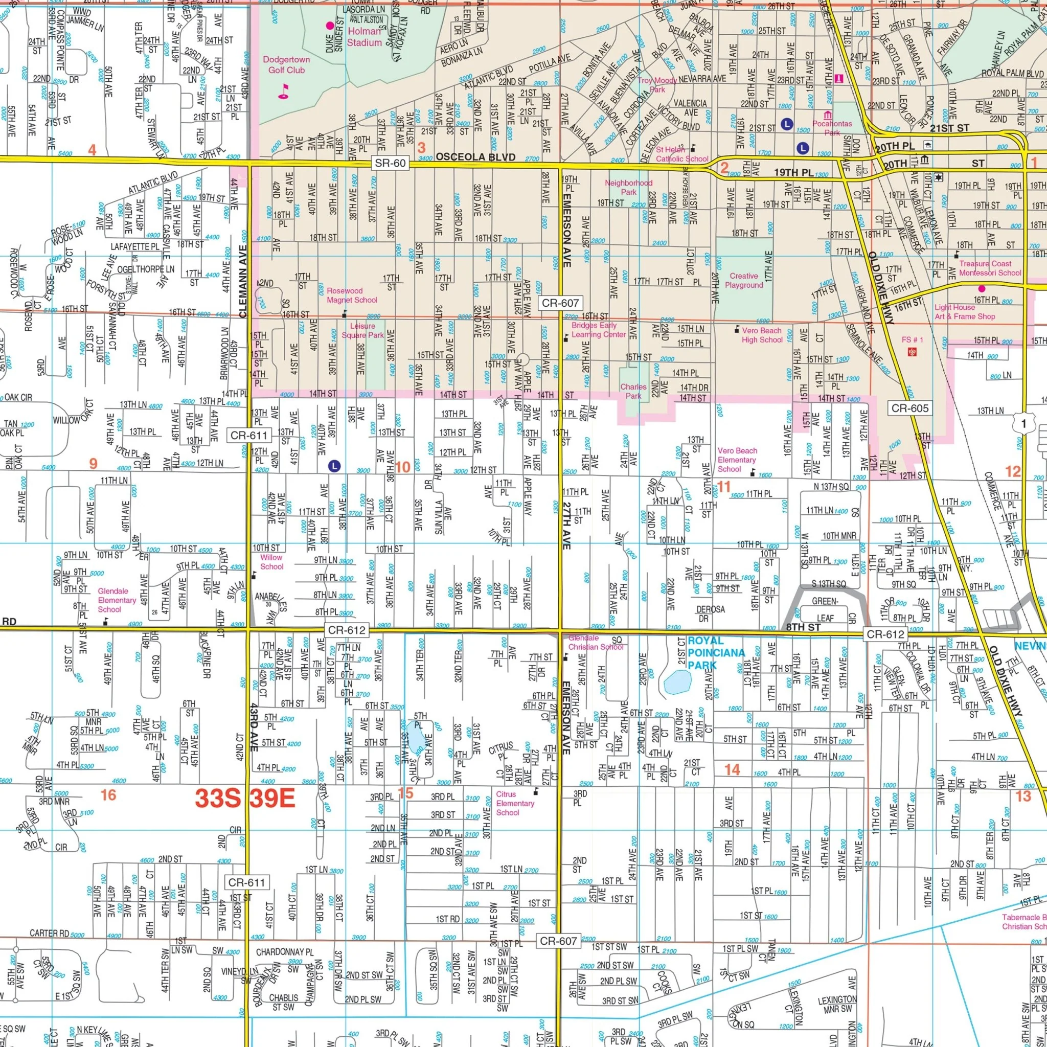
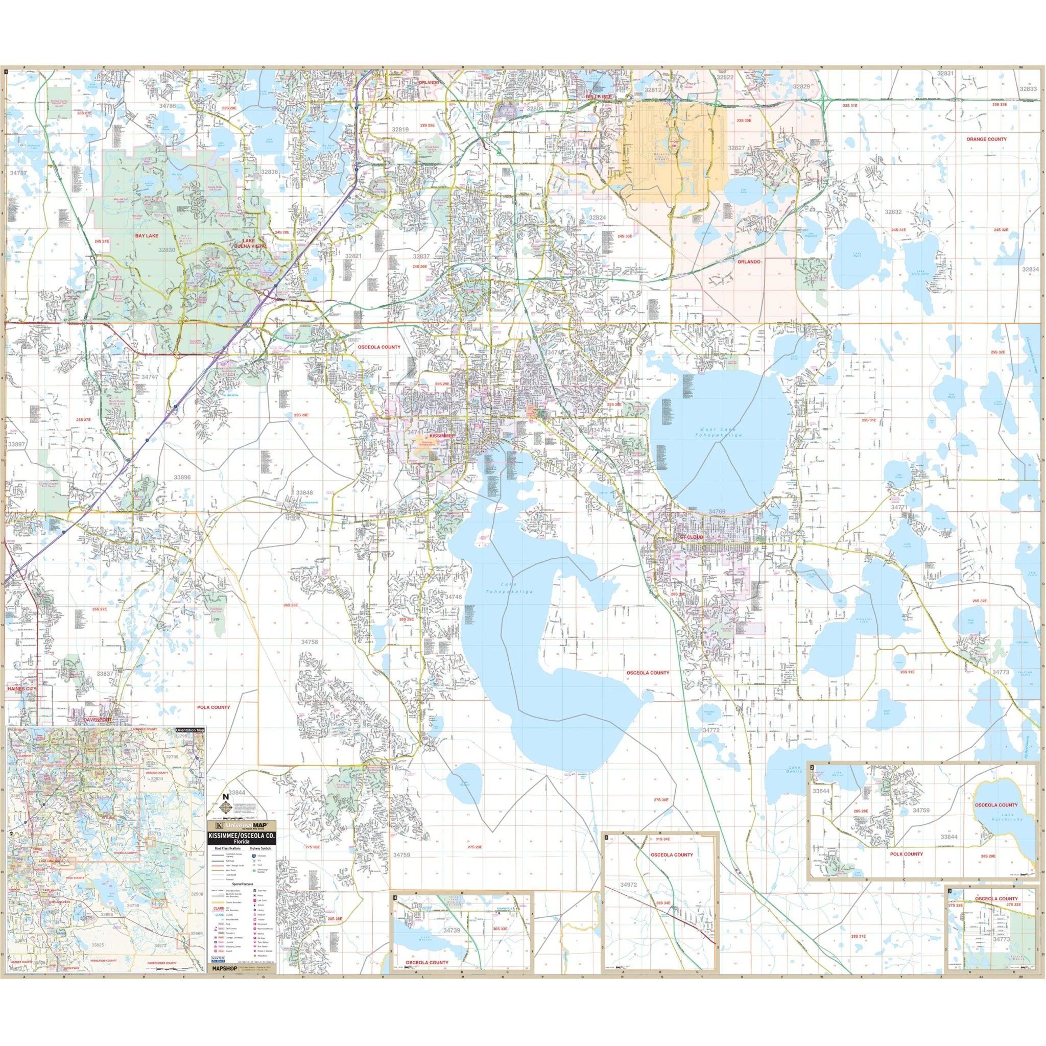
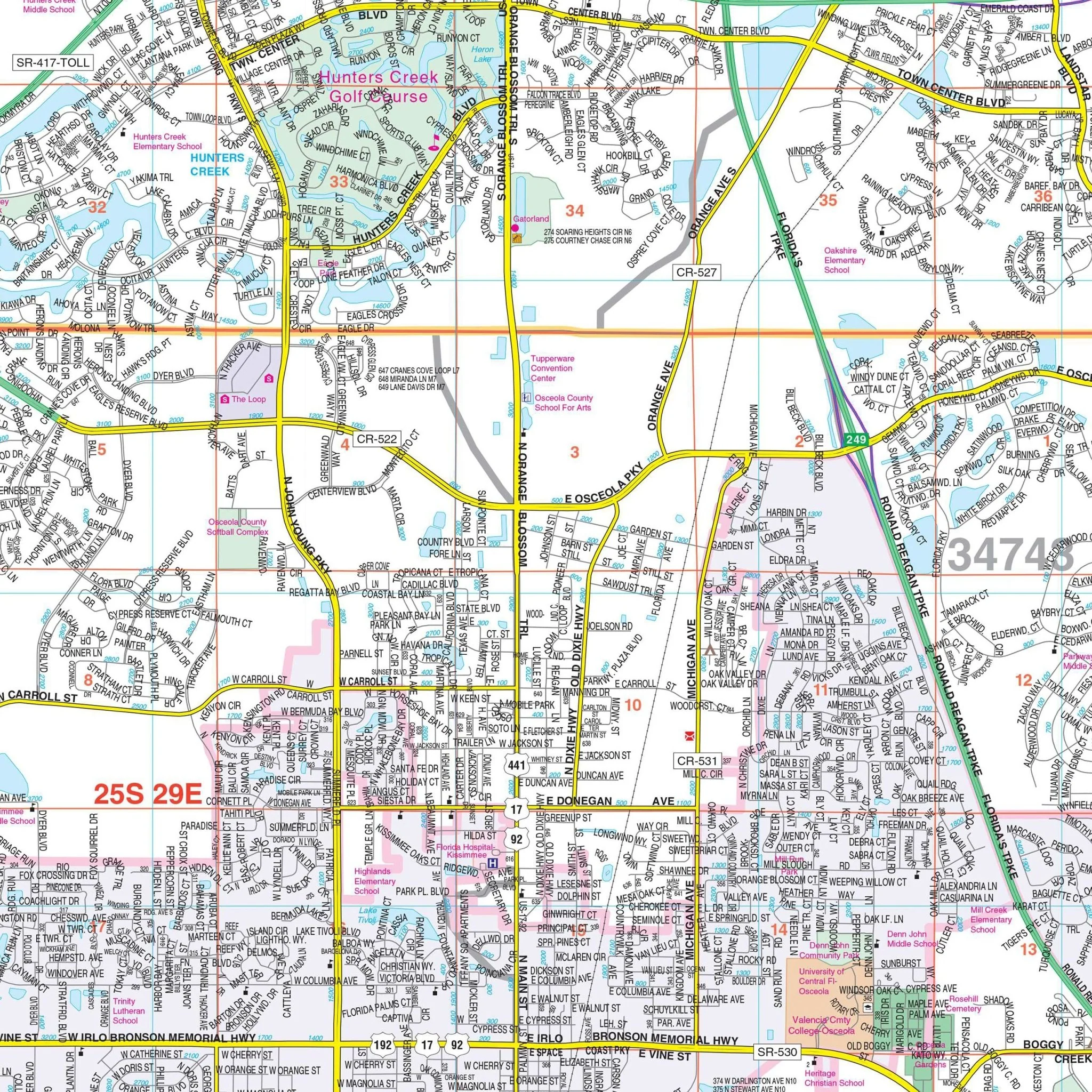
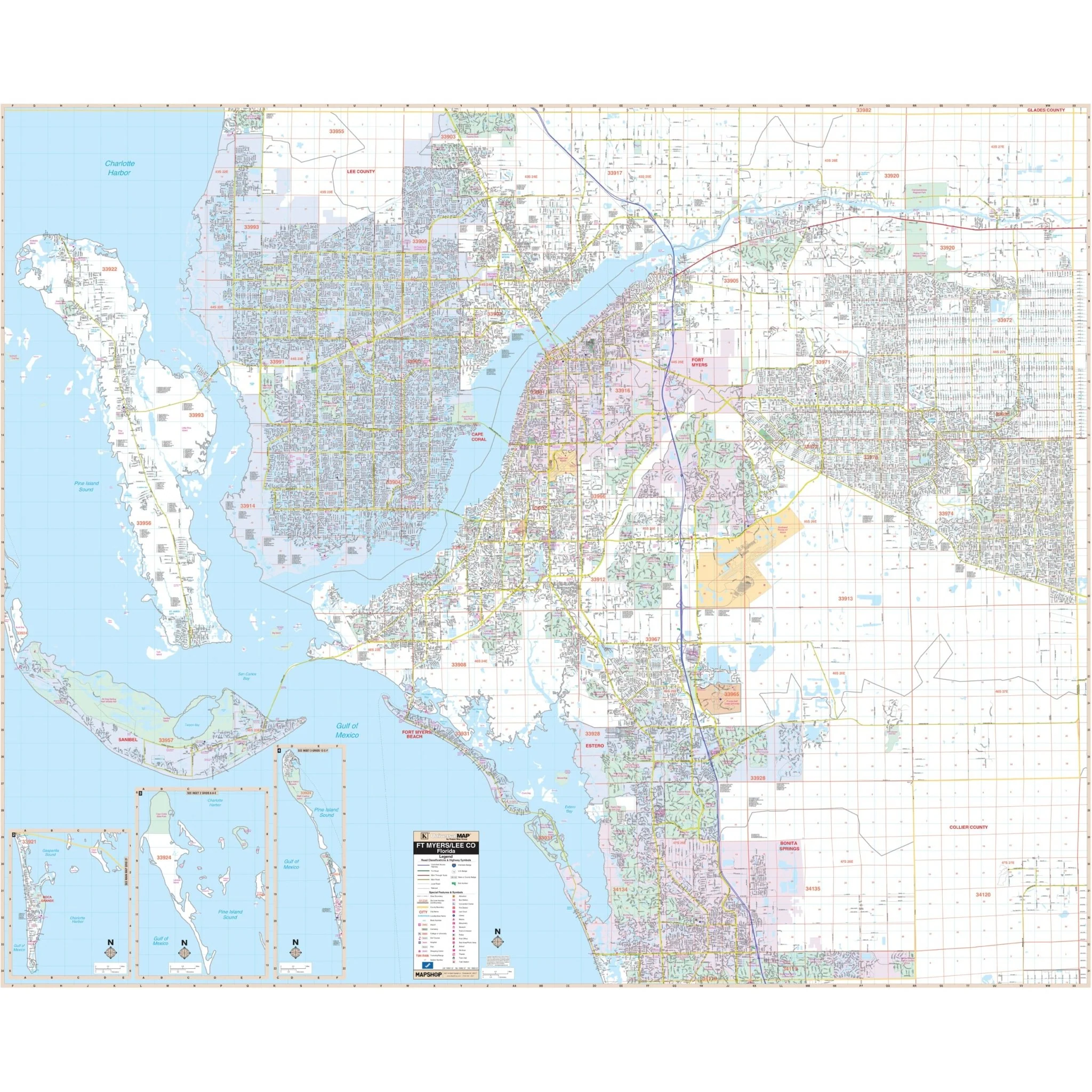
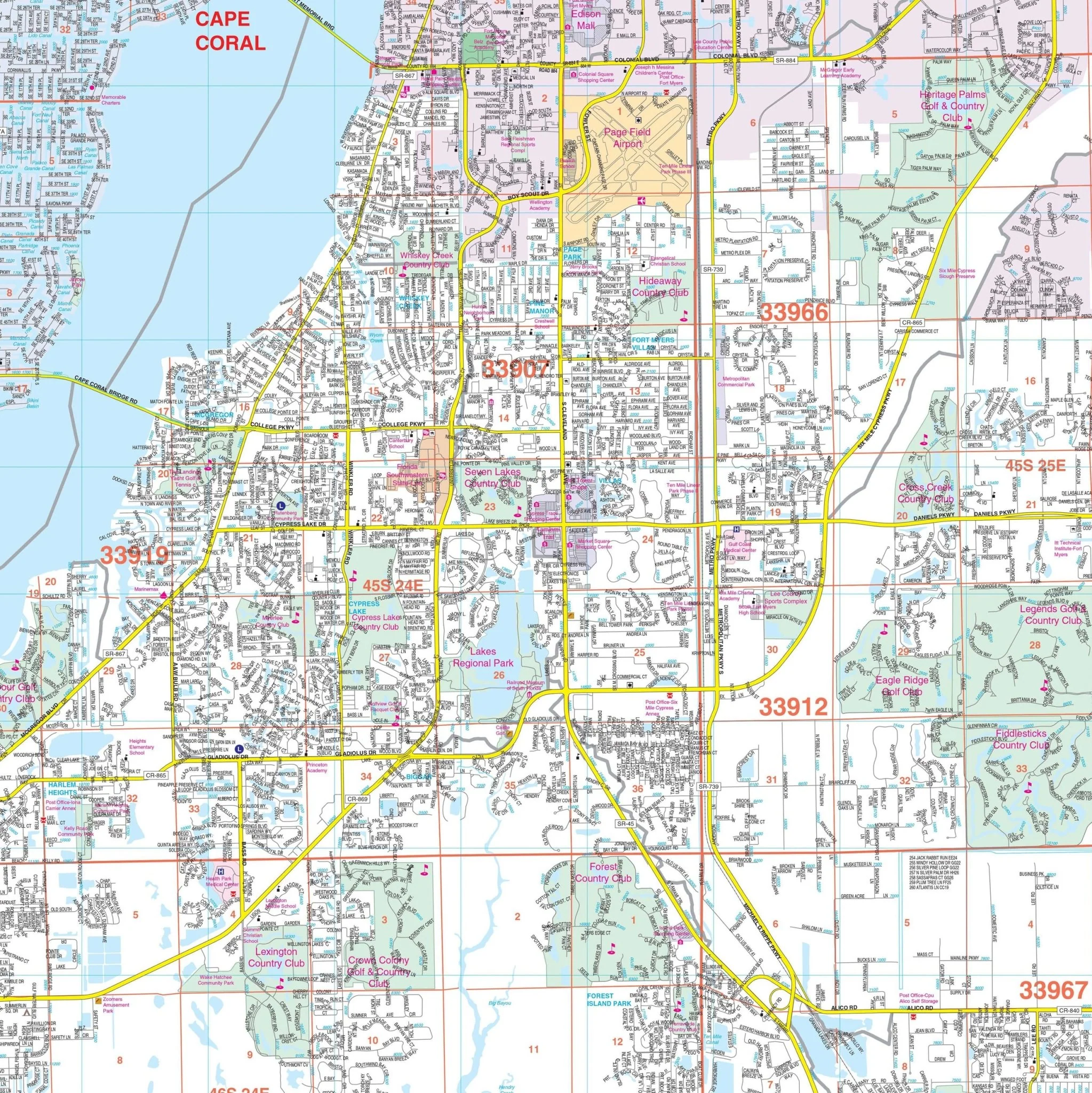
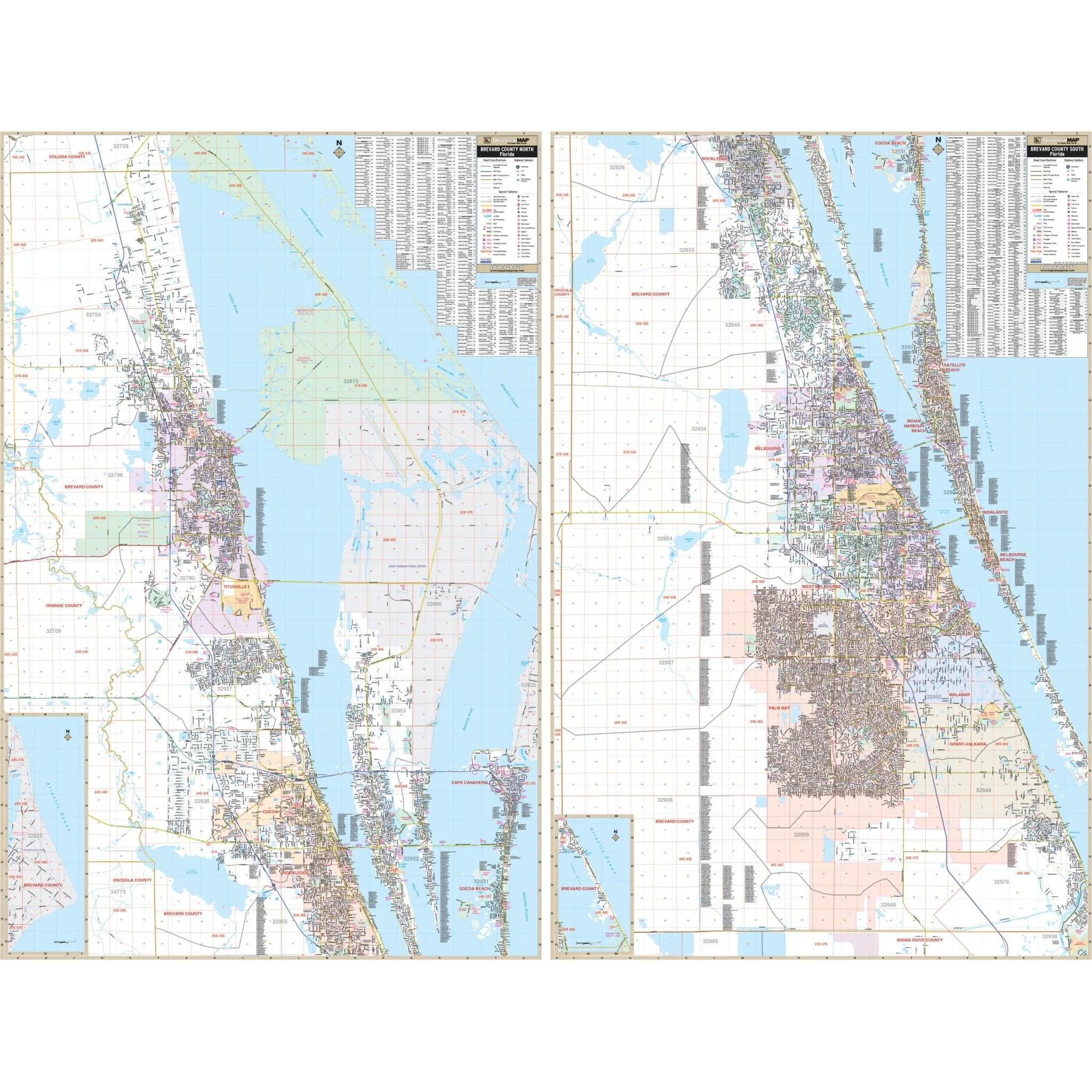
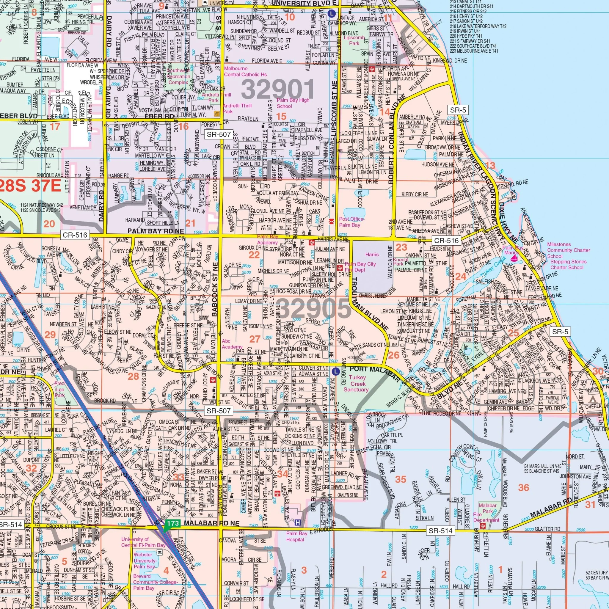
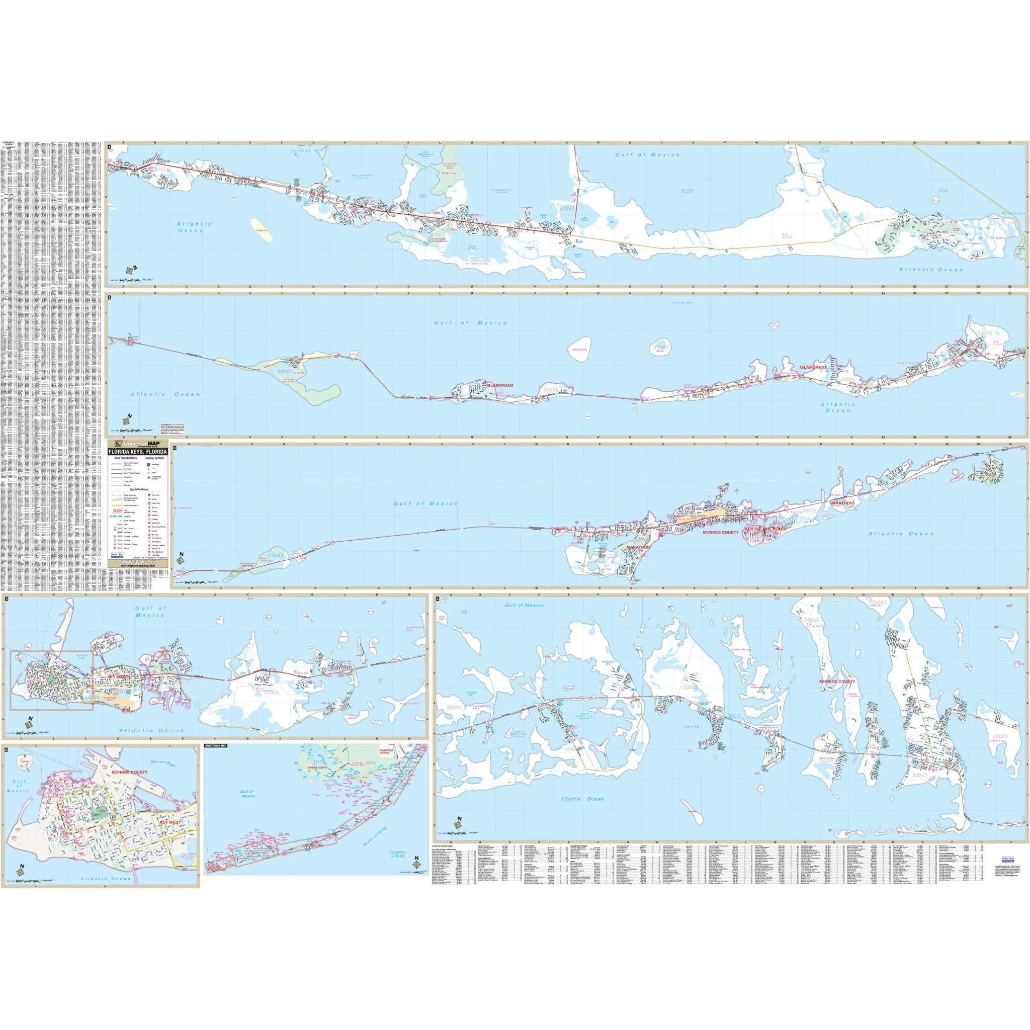
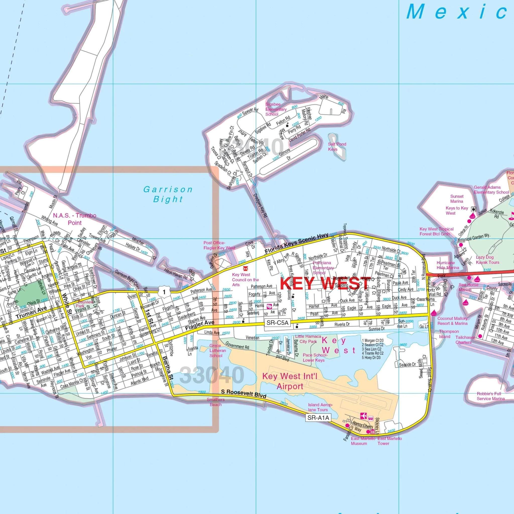
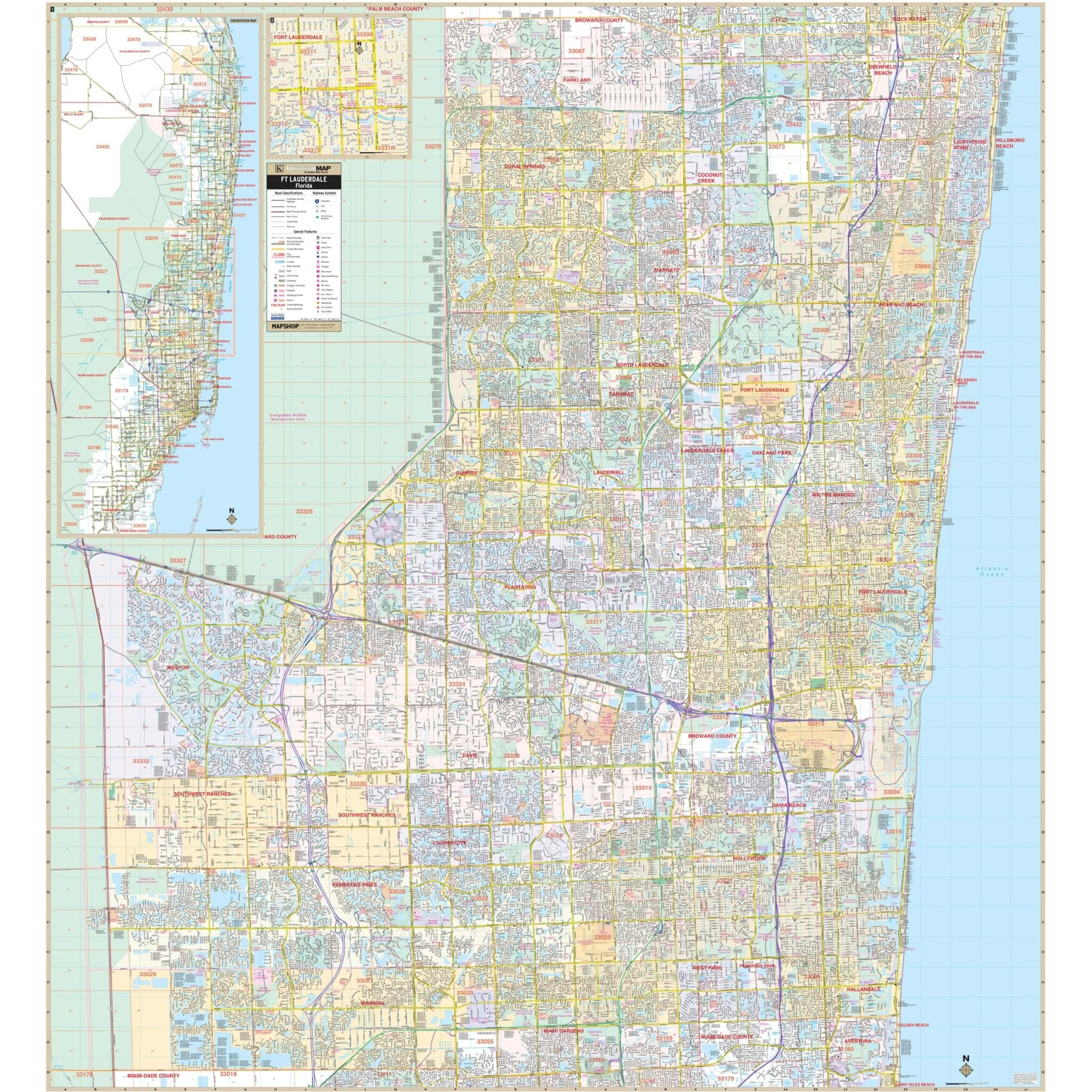
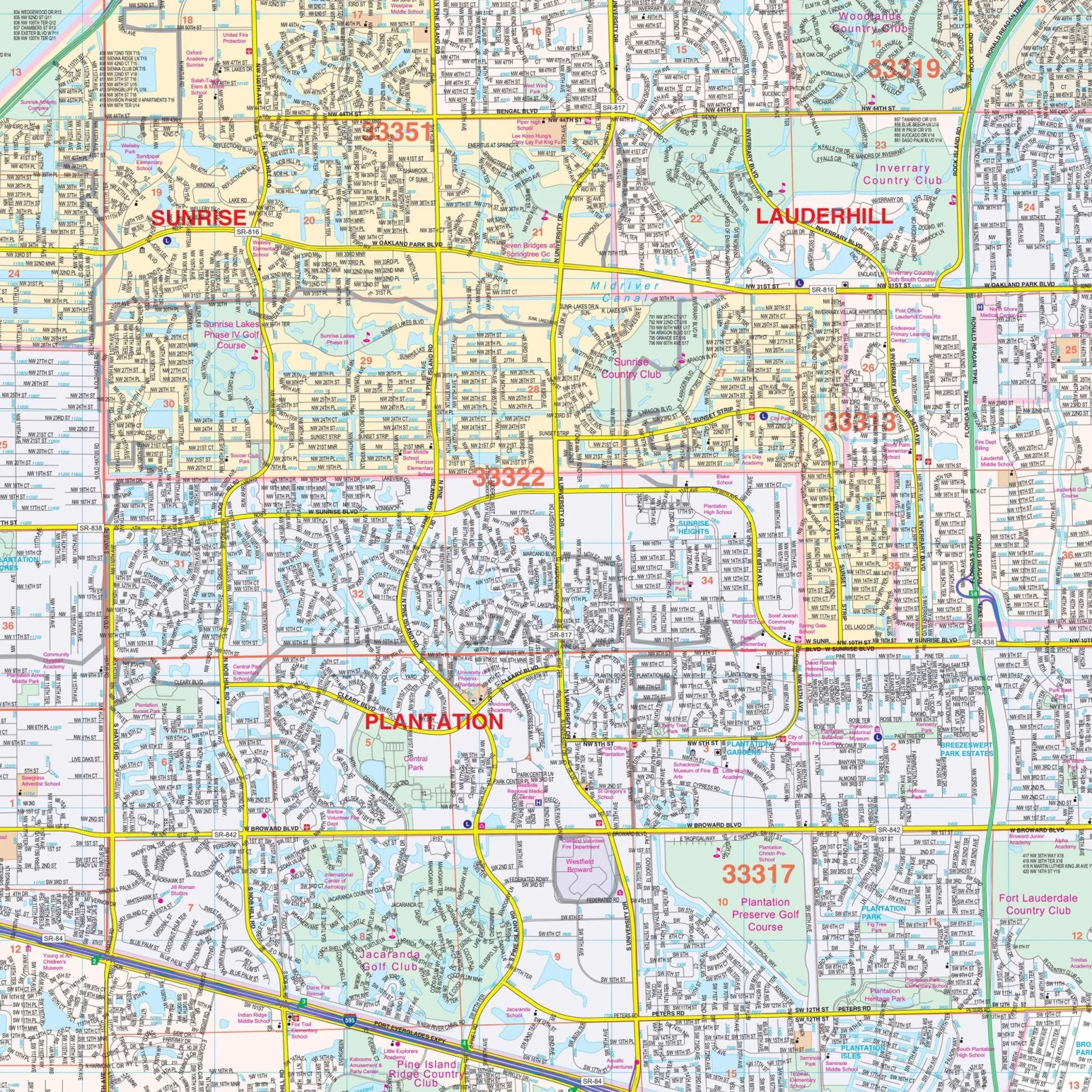
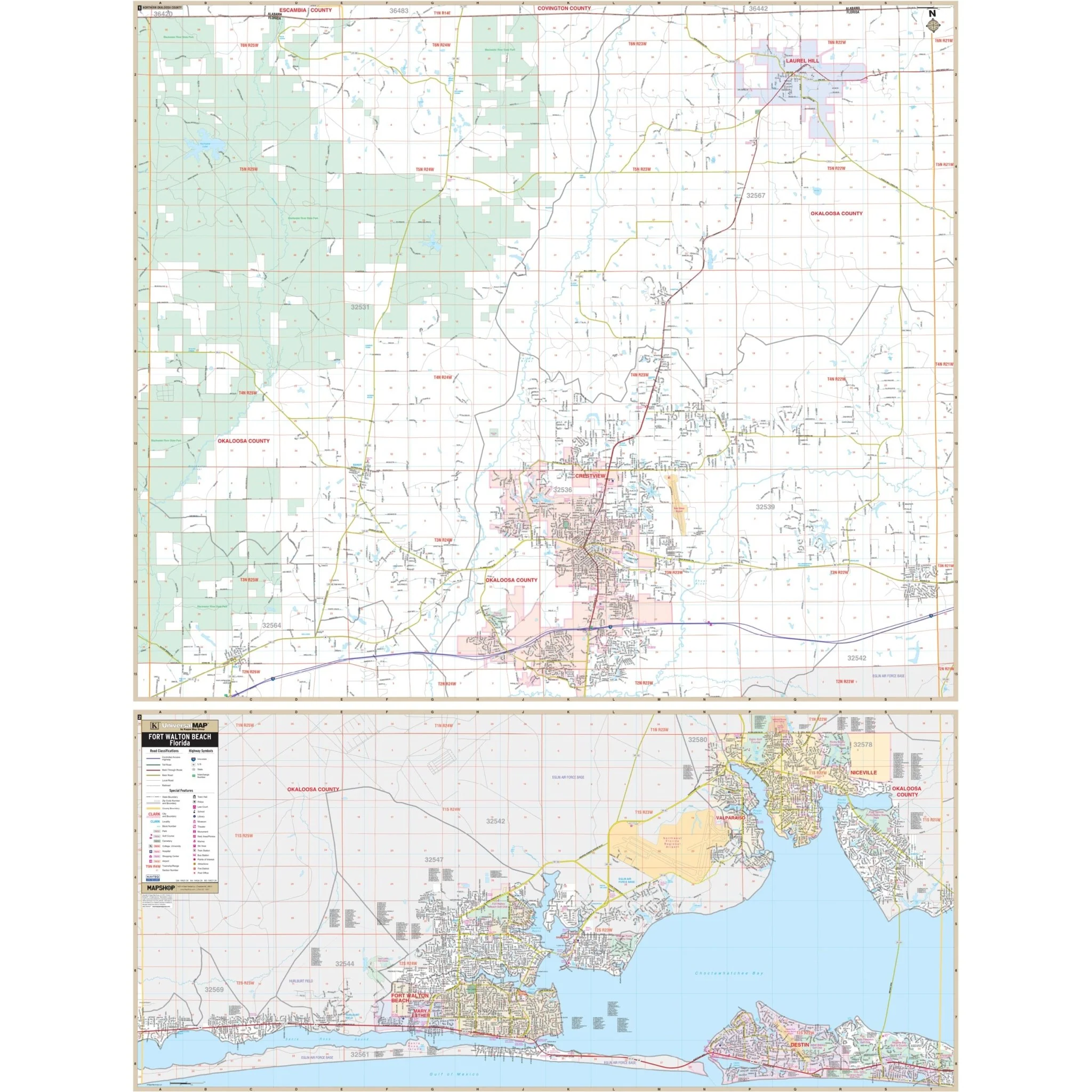
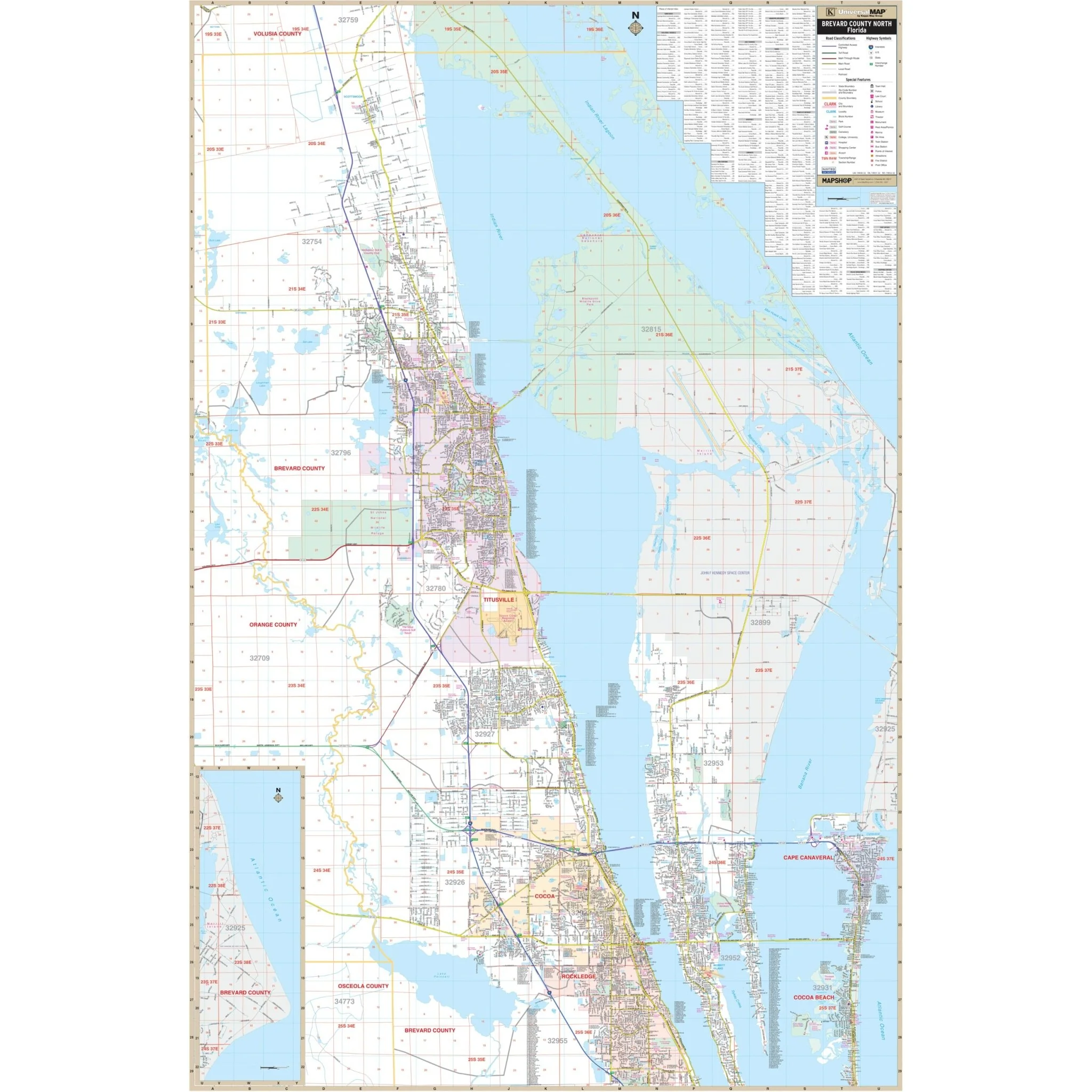
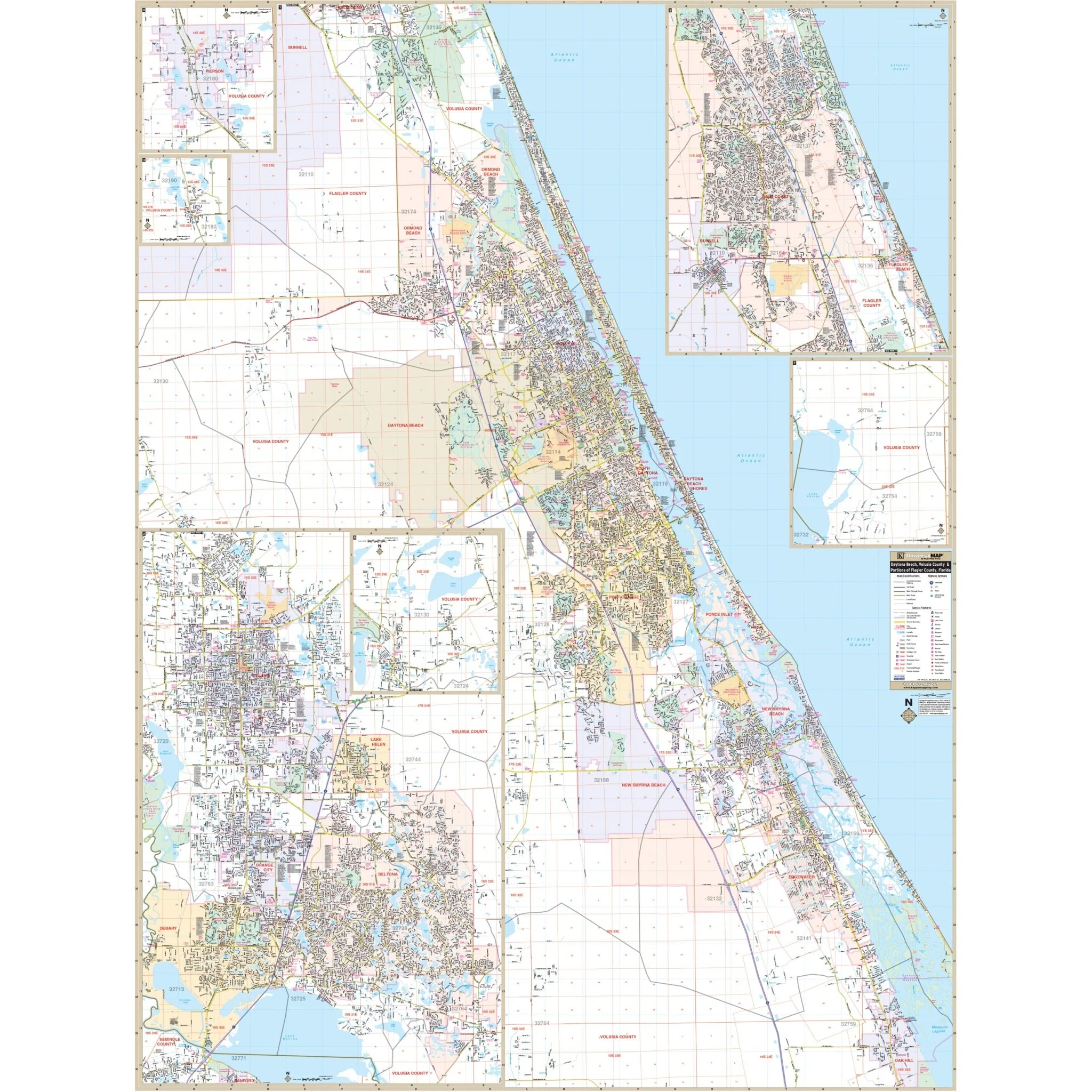
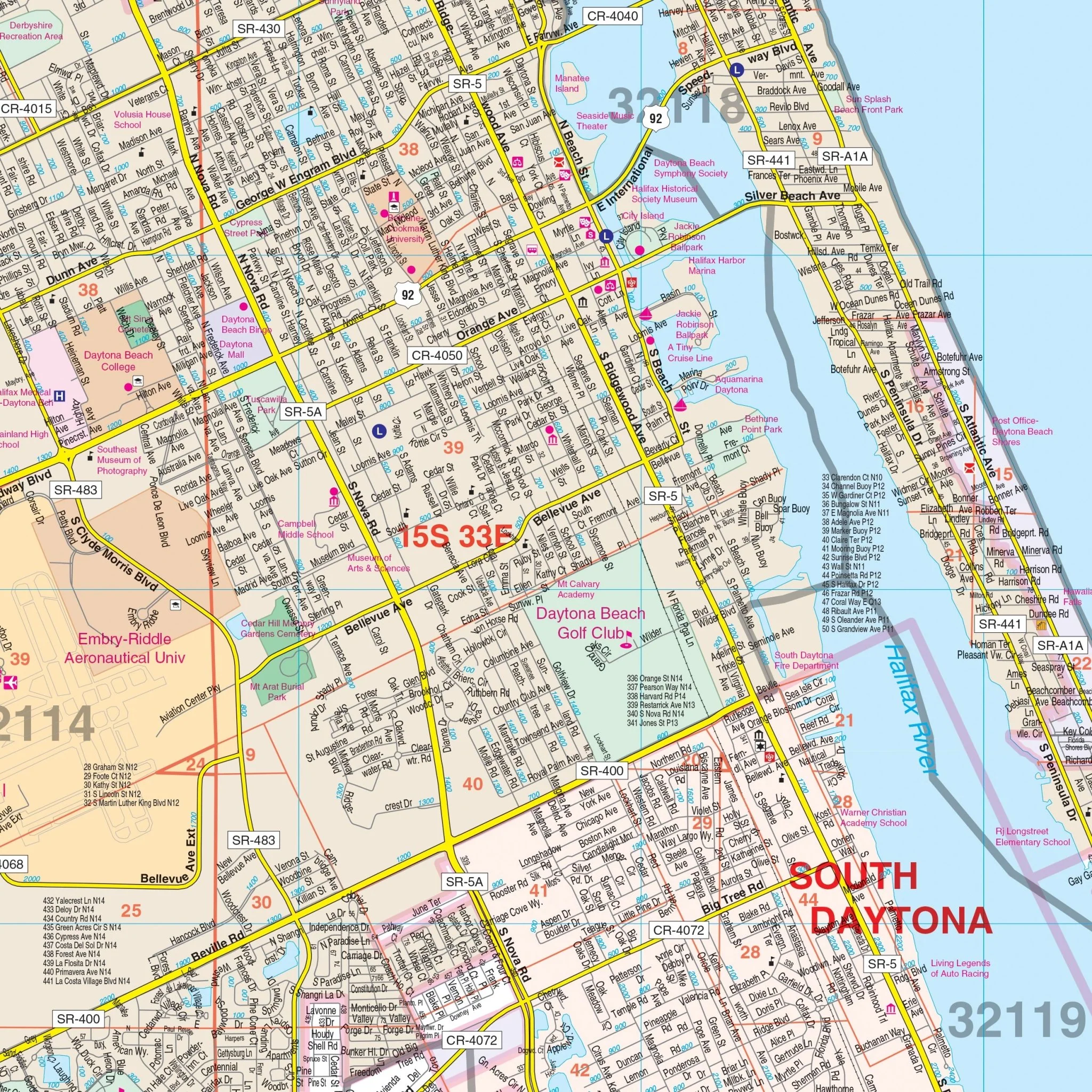
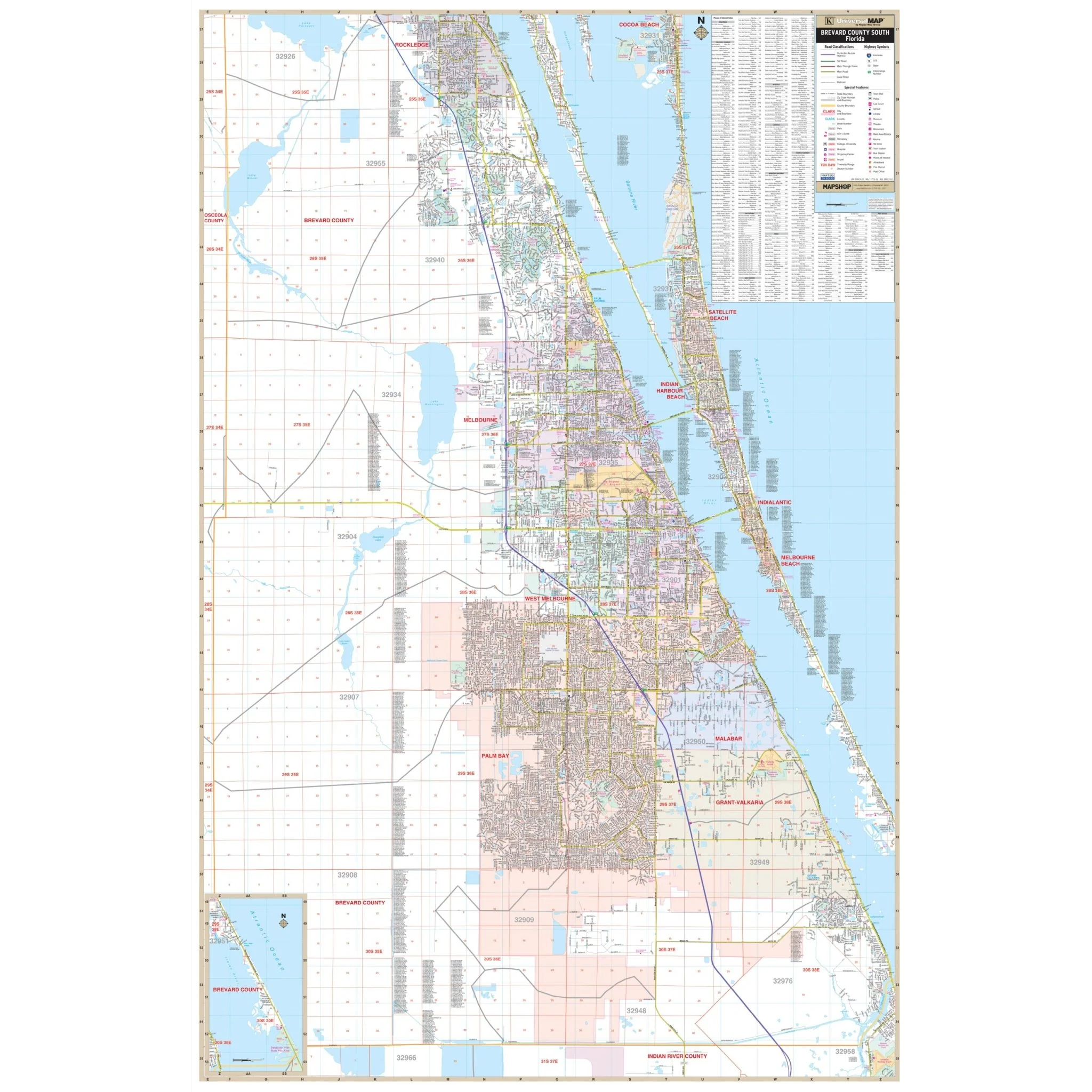
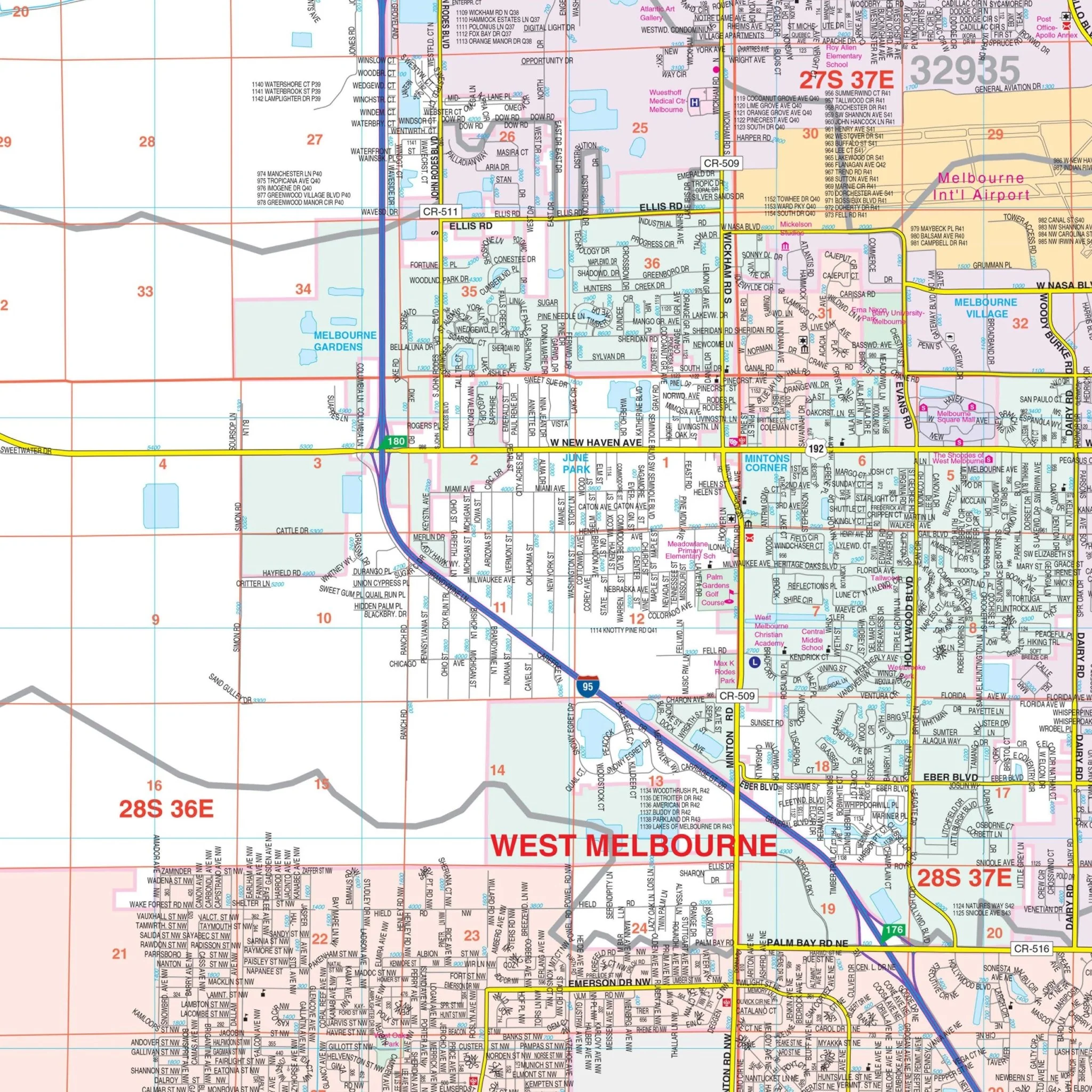
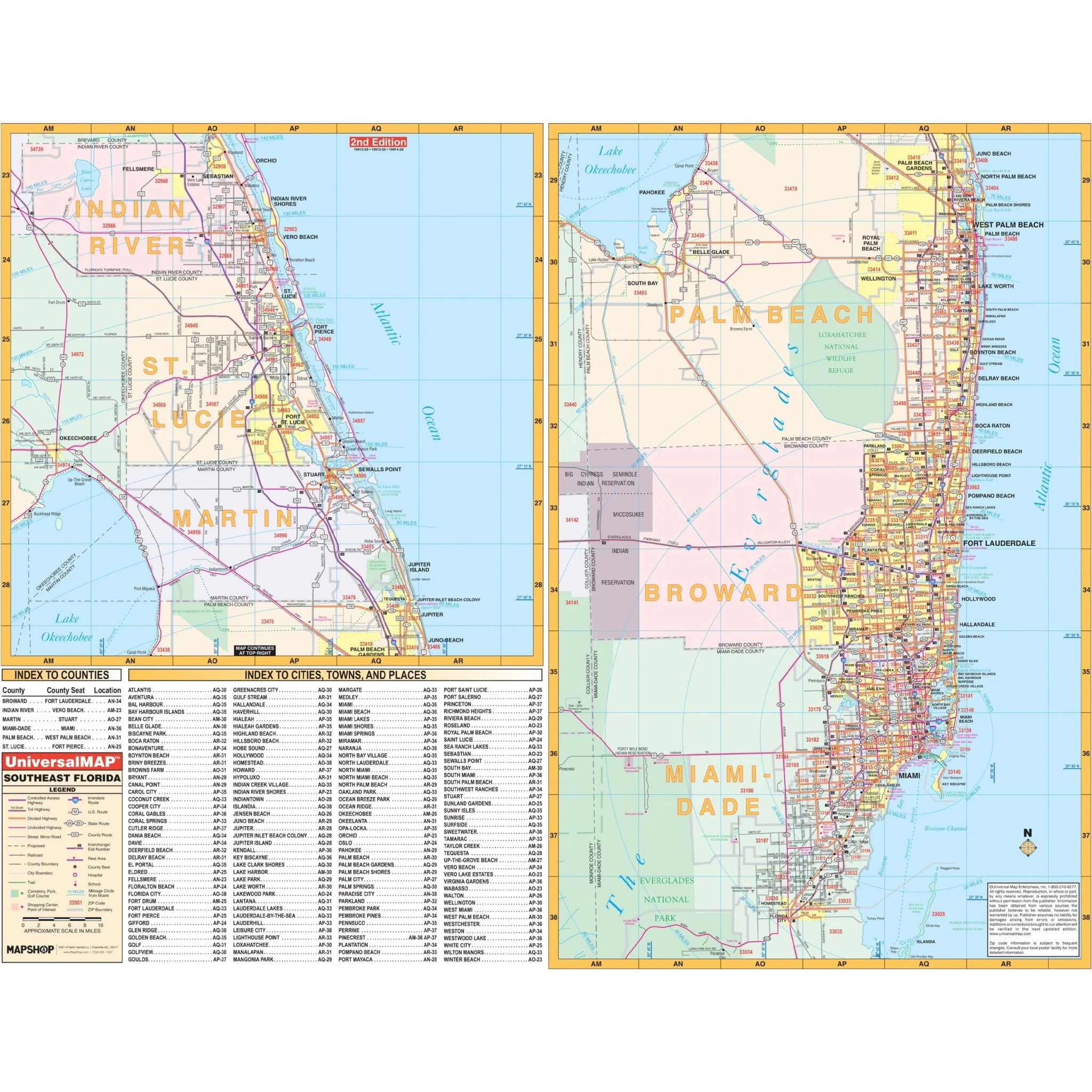
The Southeast Florida Regional Wall Map by Kappa Map Group is a geographic representation of Southeast Florida, featuring the coastal areas from Indian River County down through Miami-Dade County. The map details the interconnected network of highways, roads, and streets that traverse the region, as well as the expansive waterways and natural landscapes that define it. Covers the entirety of the following six counties:
- Indian River
- St. Lucie
- Martin
- Palm Beach
- Broward
- Miami-Dade
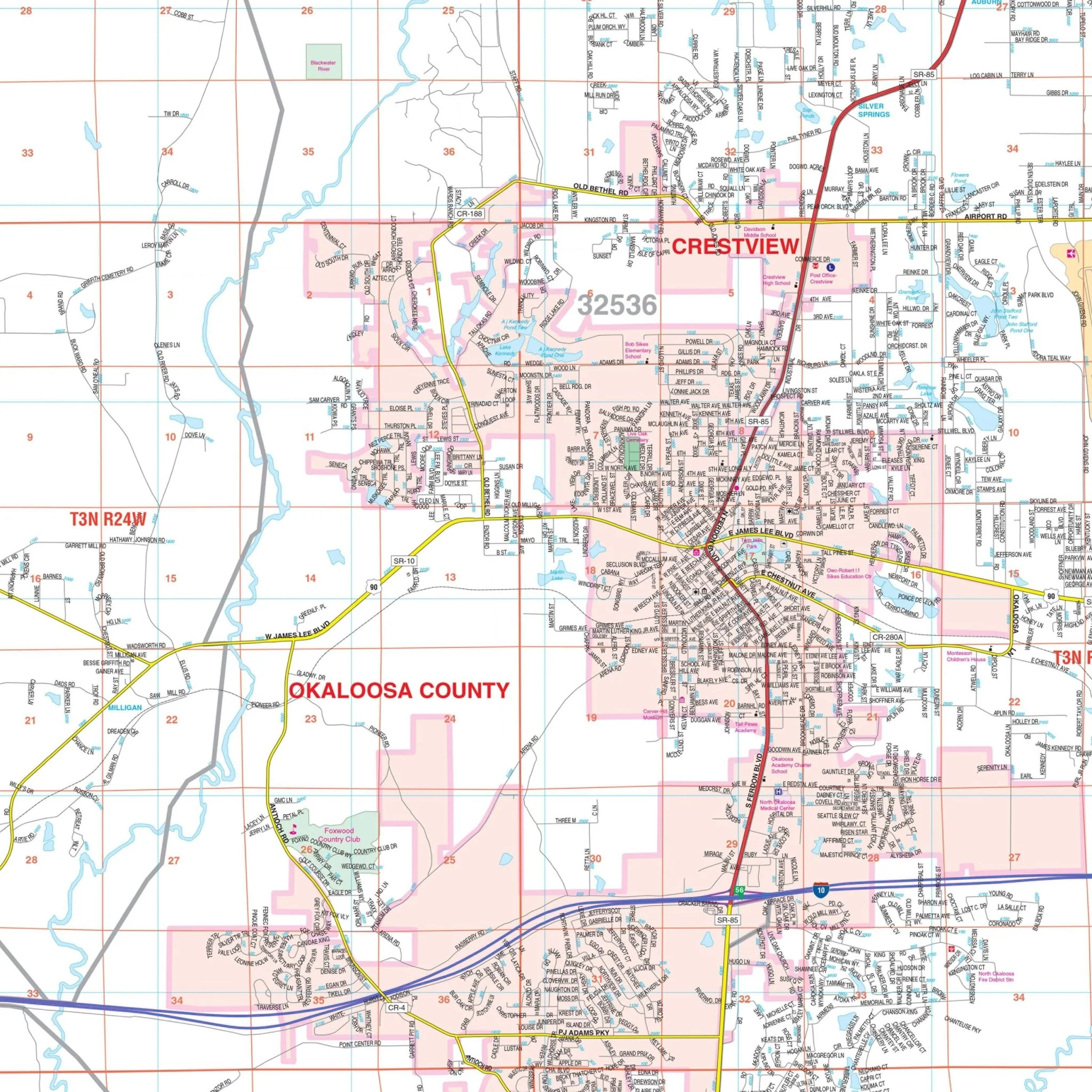
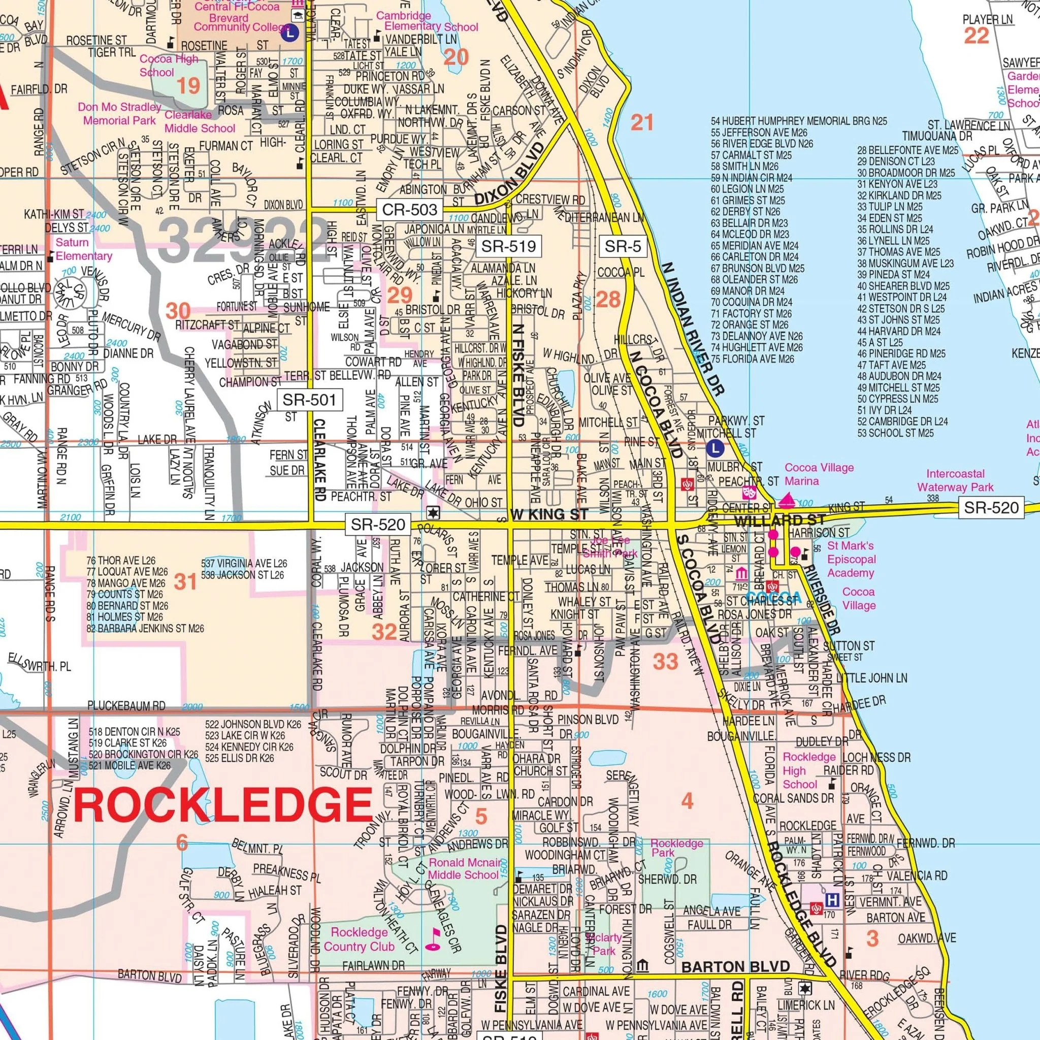
On the left side of the map, there is an index to counties, providing a quick reference to their geographic locations on the map. Adjacent to this is a detailed index to cities, towns, and places, which aligns with the grid overlay on the map to assist in pinpointing locations. The right panel of the map provides a close-up view of Palm Beach, Broward, and Miami-Dade counties, showing a higher concentration of roadways and urban development. This map serves as a resource for navigation, planning, and gaining a greater understanding of Southeast Florida's geographical layout.
Size: 66" x 51"
Published: 2006
Product Information
Product Information
Shipping & Returns
Shipping & Returns
Description
The Southeast Florida Regional Wall Map by Kappa Map Group is a geographic representation of Southeast Florida, featuring the coastal areas from Indian River County down through Miami-Dade County. The map details the interconnected network of highways, roads, and streets that traverse the region, as well as the expansive waterways and natural landscapes that define it. Covers the entirety of the following six counties:
- Indian River
- St. Lucie
- Martin
- Palm Beach
- Broward
- Miami-Dade
On the left side of the map, there is an index to counties, providing a quick reference to their geographic locations on the map. Adjacent to this is a detailed index to cities, towns, and places, which aligns with the grid overlay on the map to assist in pinpointing locations. The right panel of the map provides a close-up view of Palm Beach, Broward, and Miami-Dade counties, showing a higher concentration of roadways and urban development. This map serves as a resource for navigation, planning, and gaining a greater understanding of Southeast Florida's geographical layout.
Size: 66" x 51"
Published: 2006