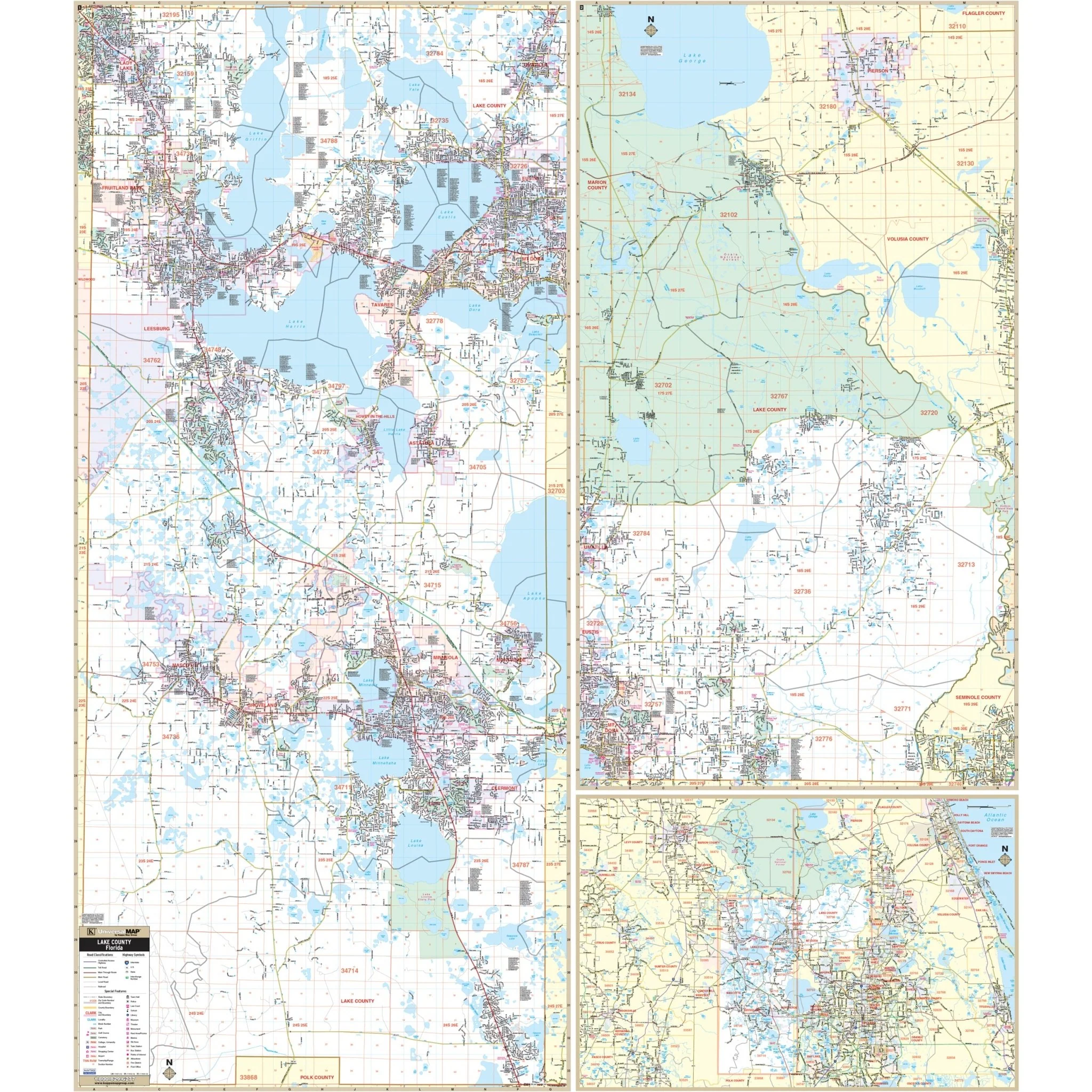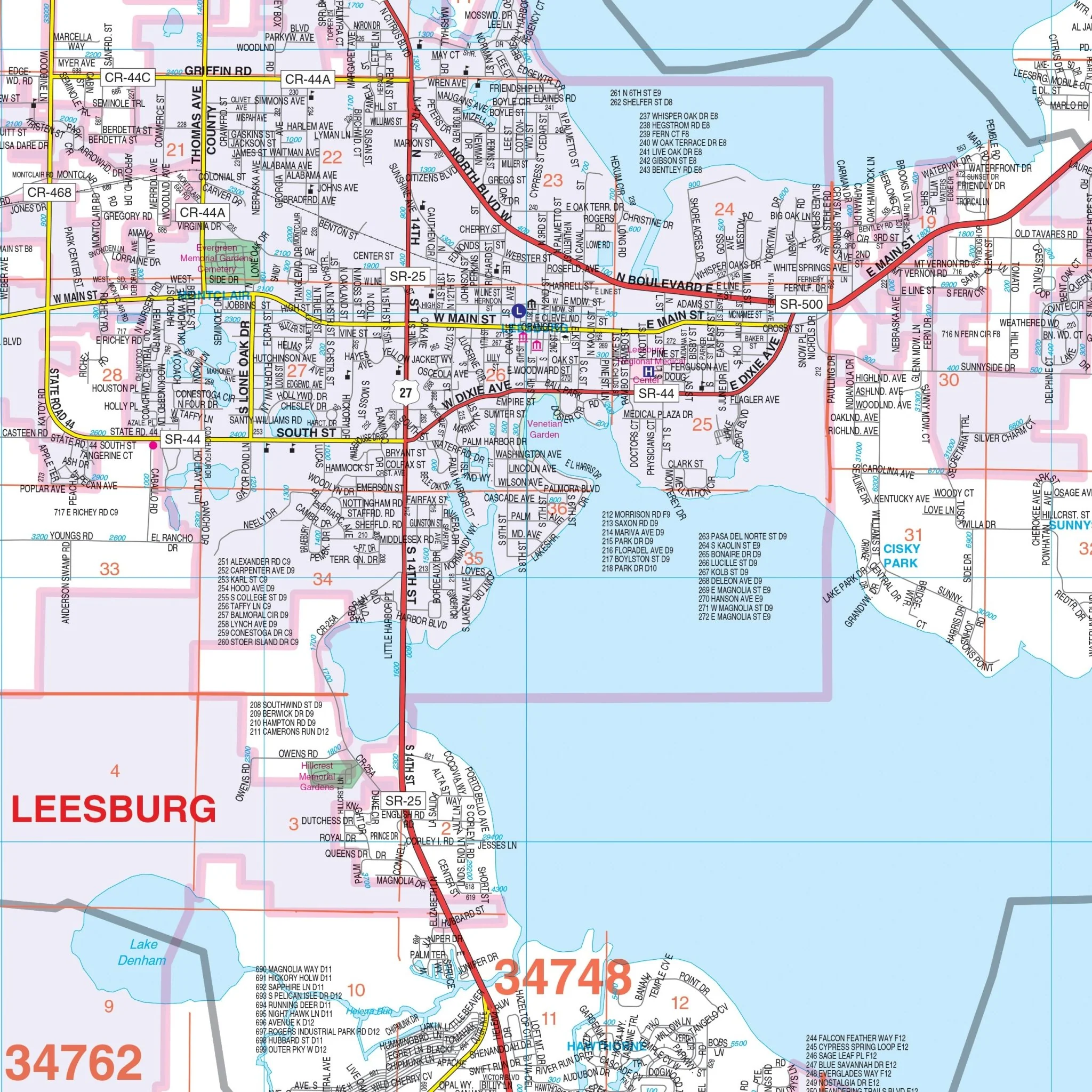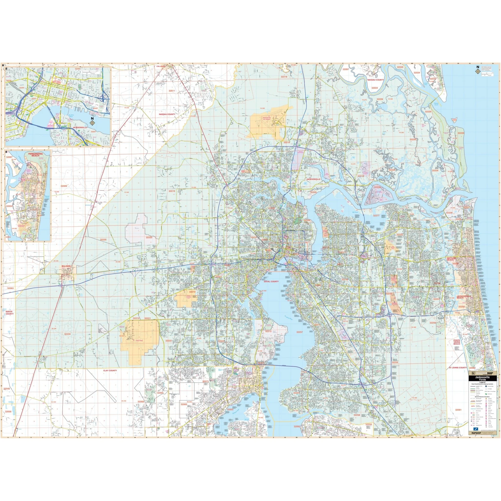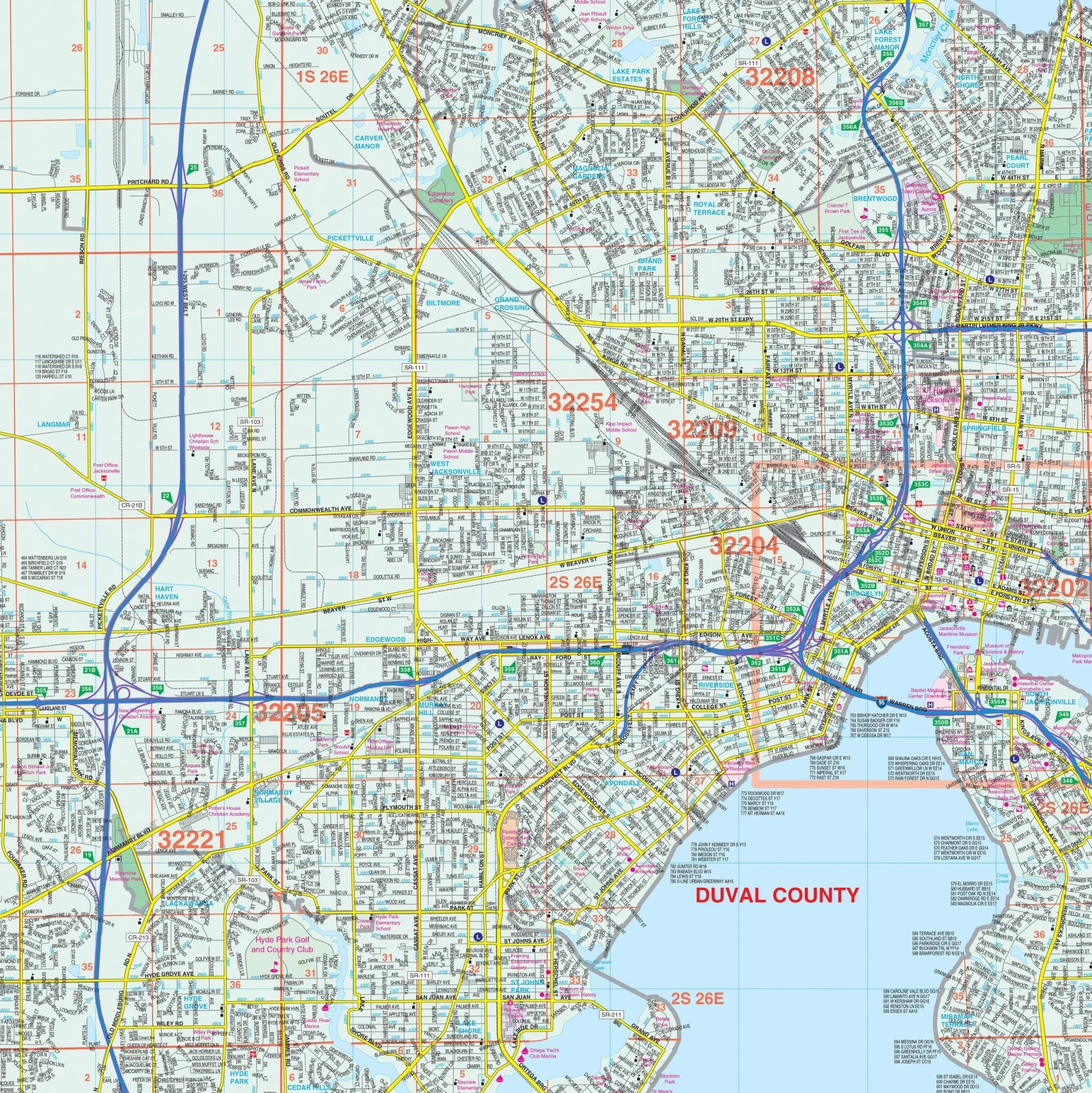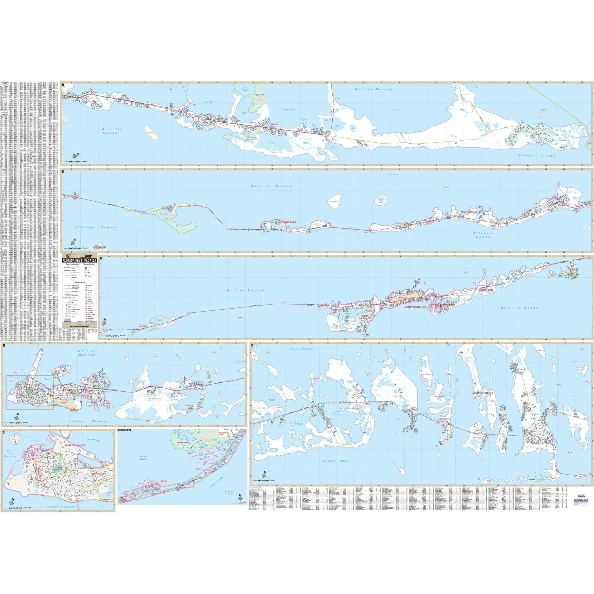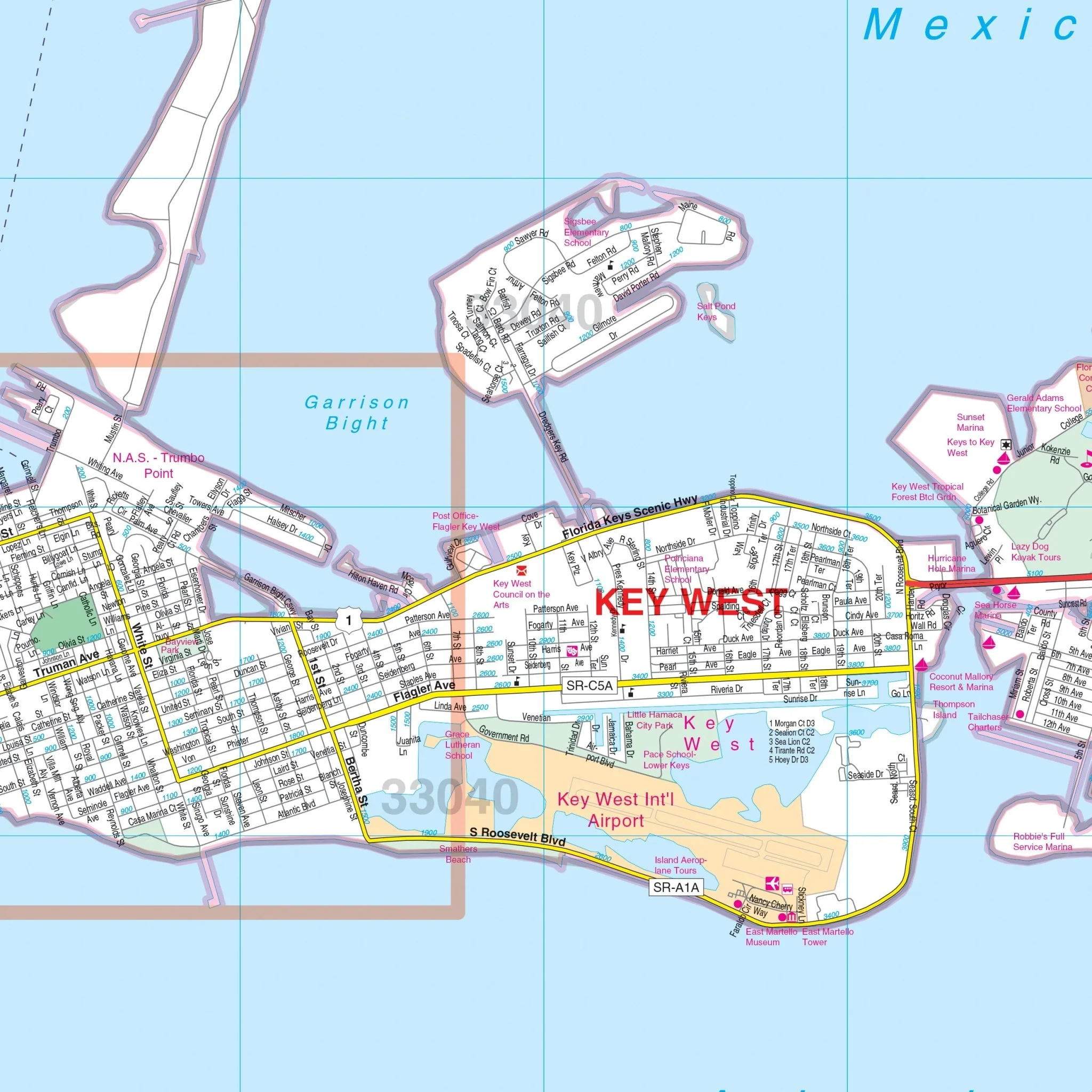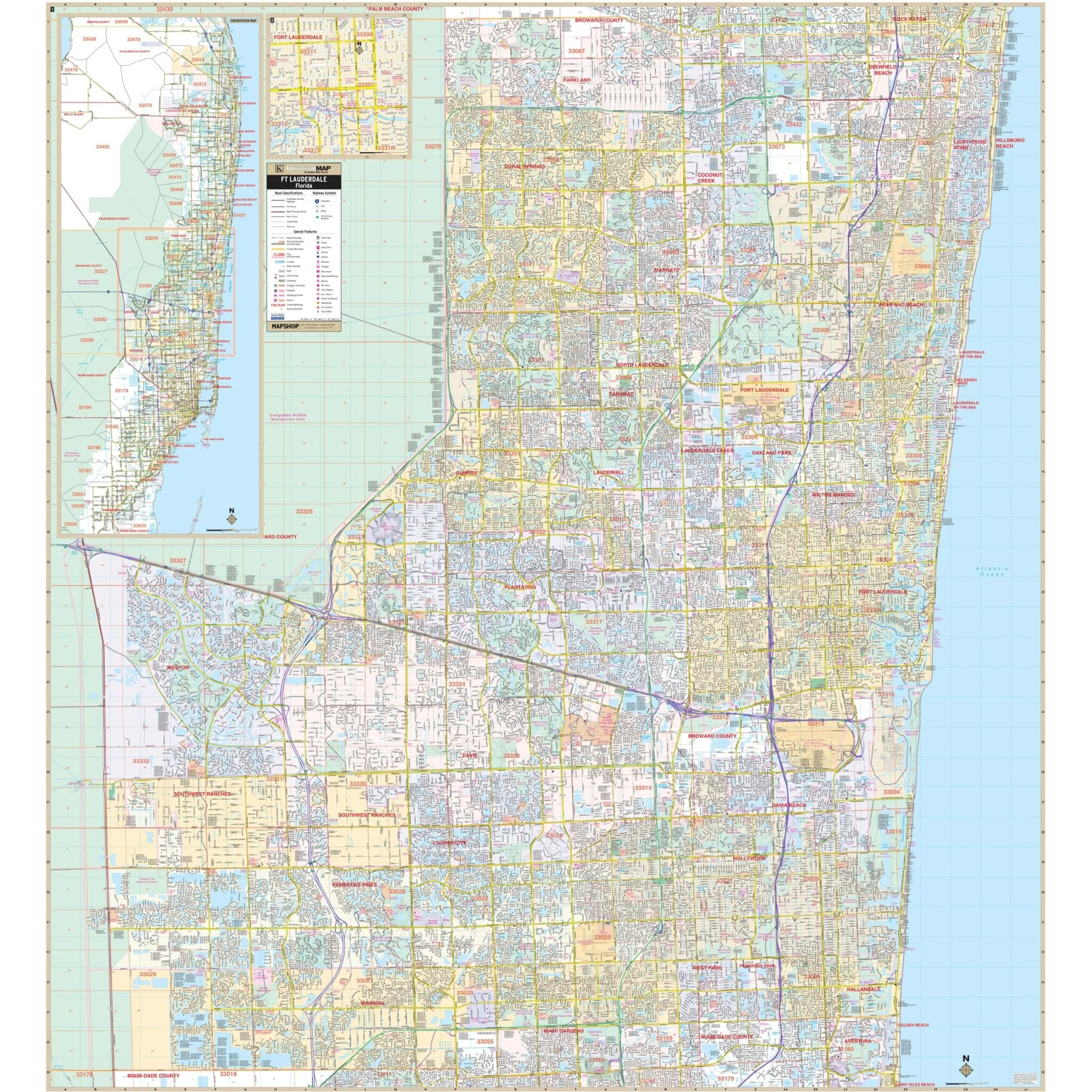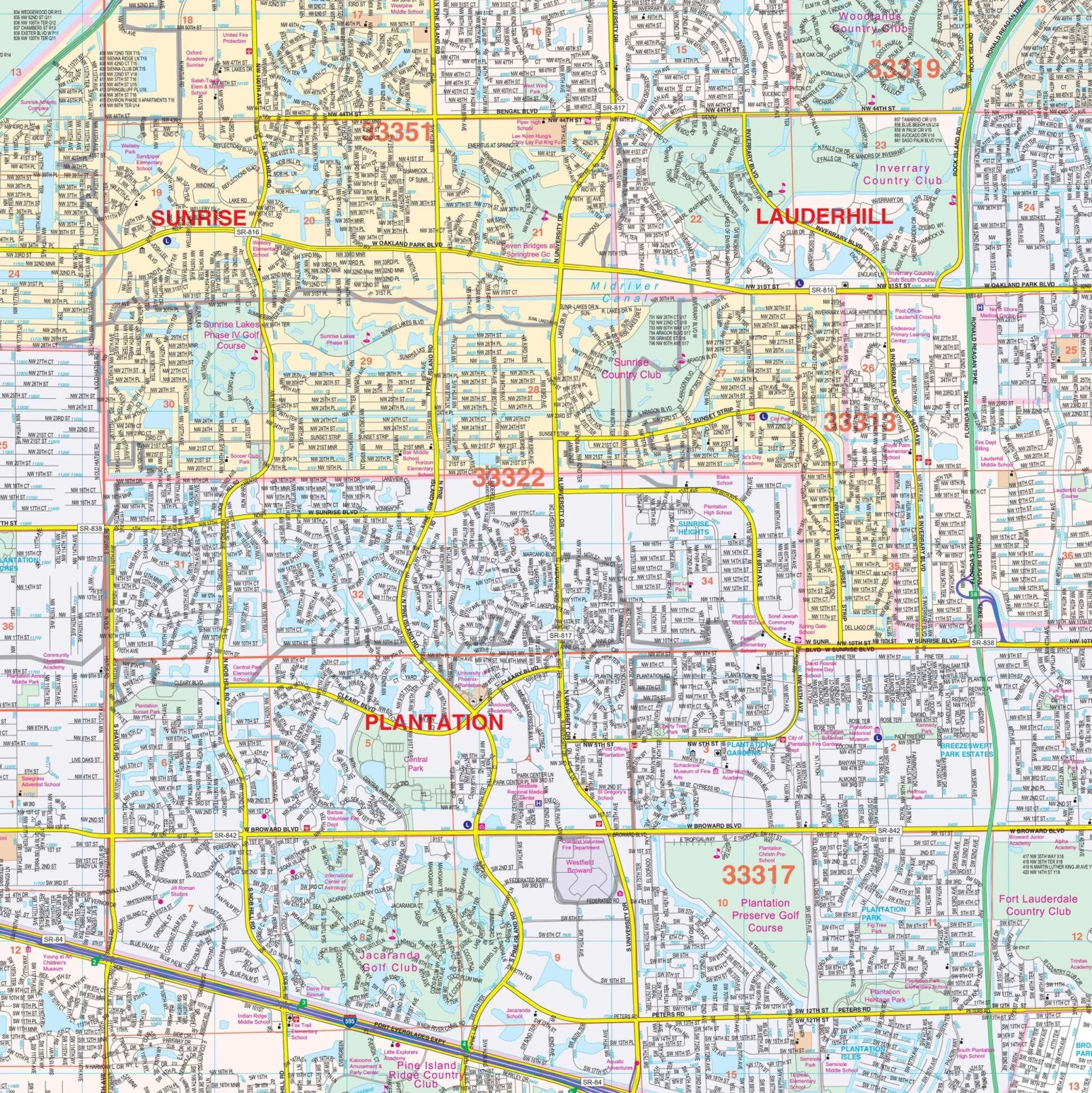


St Augustine, FL Wall Map
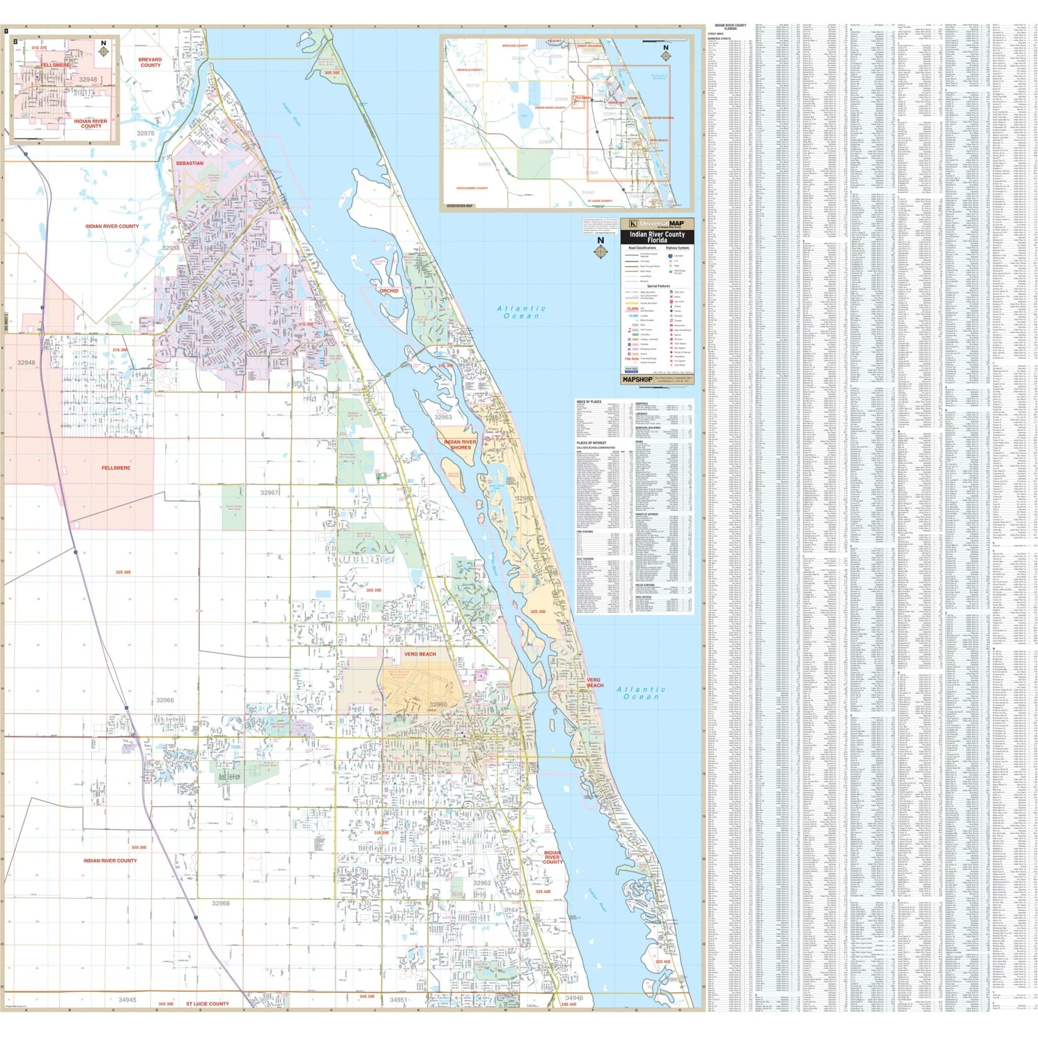
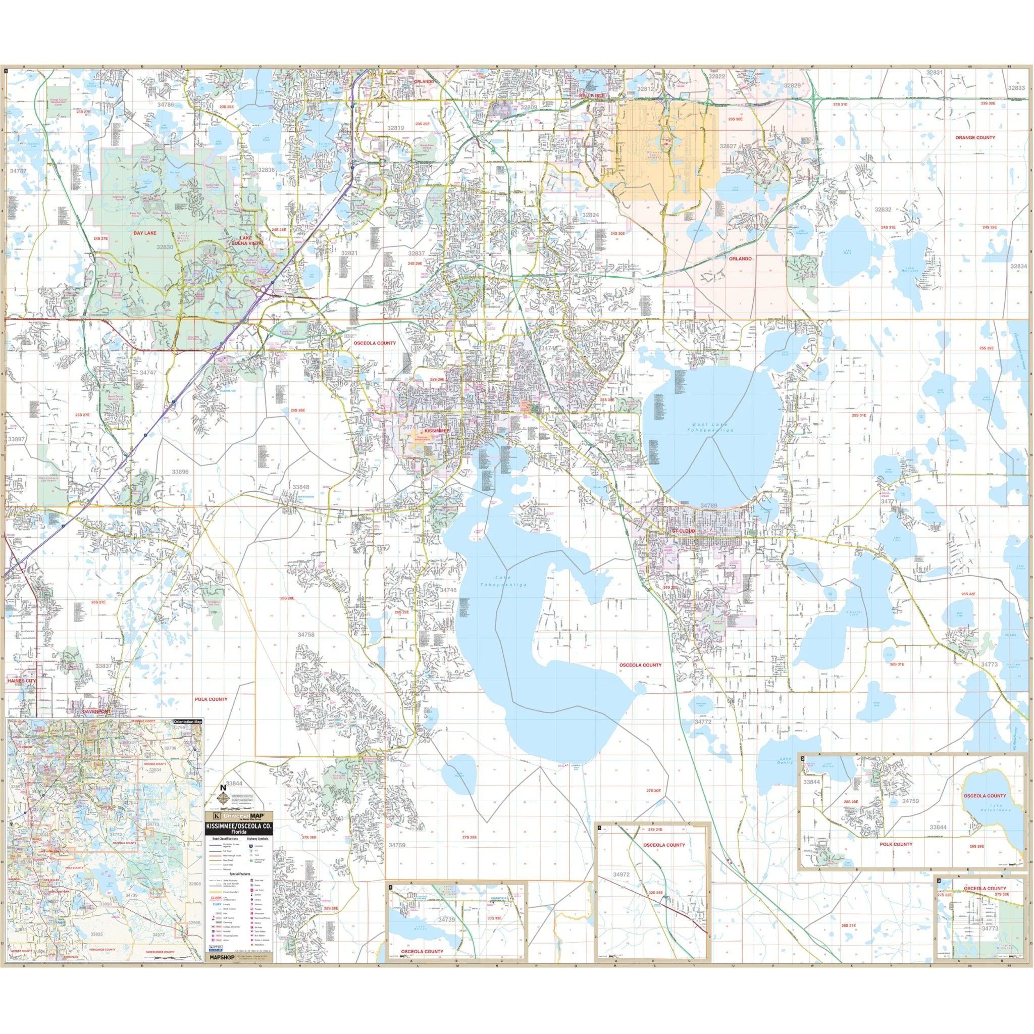
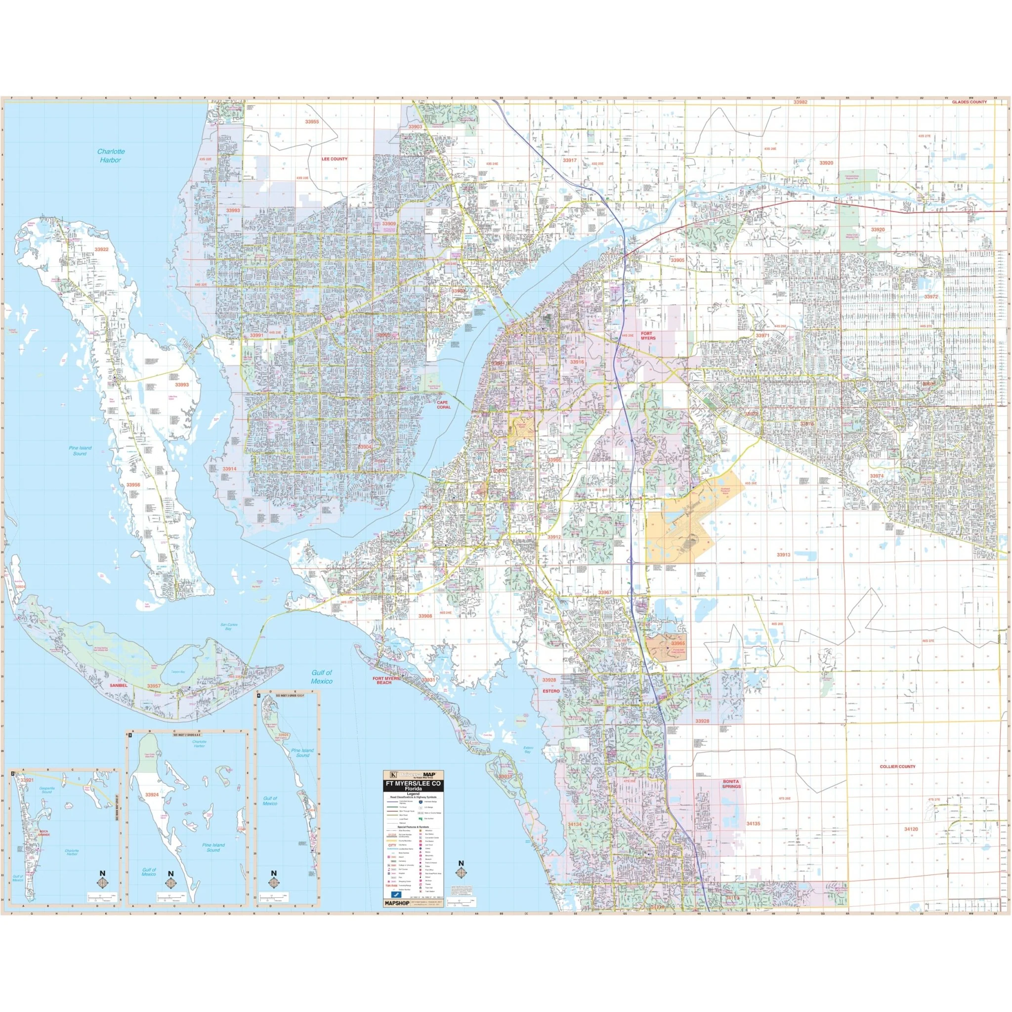
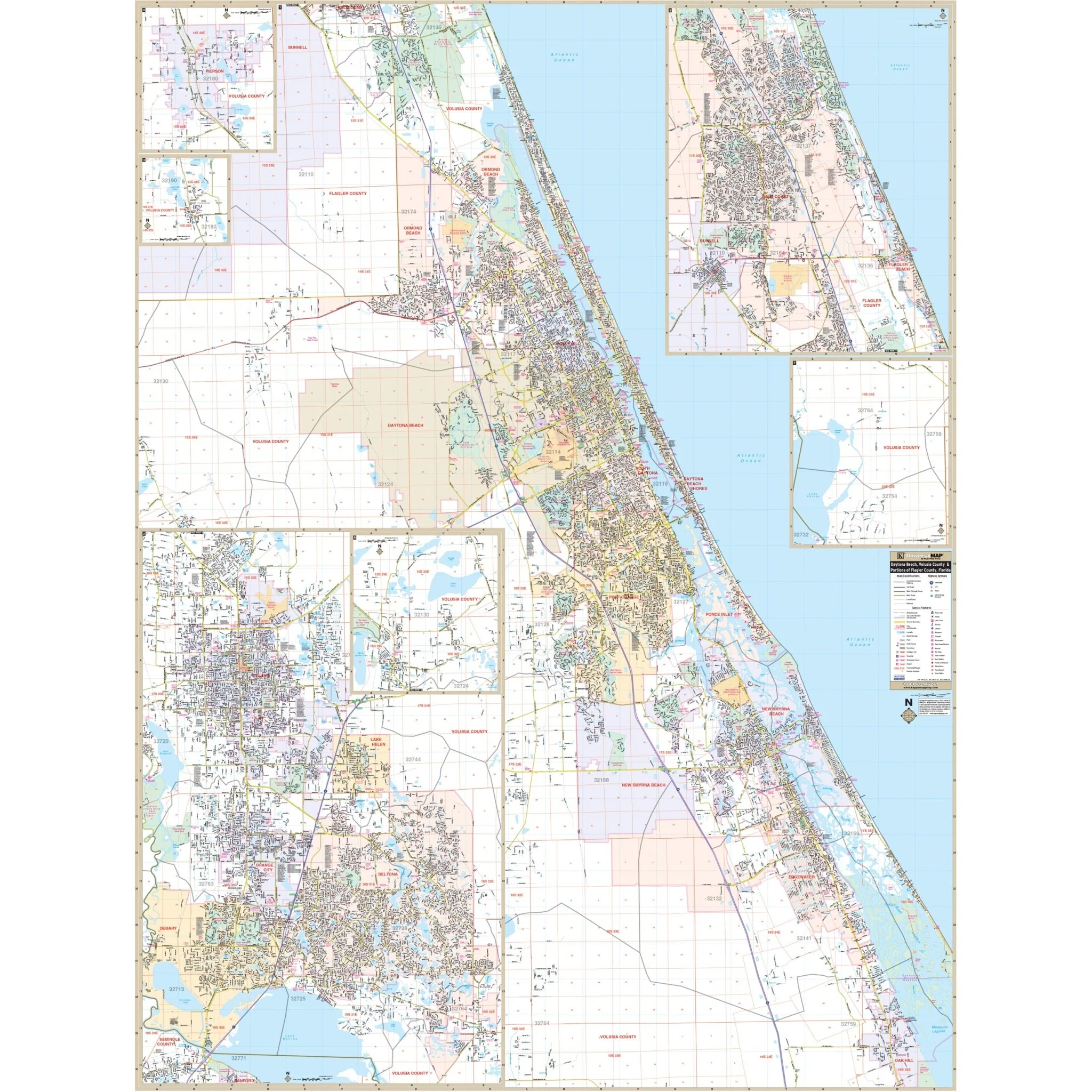
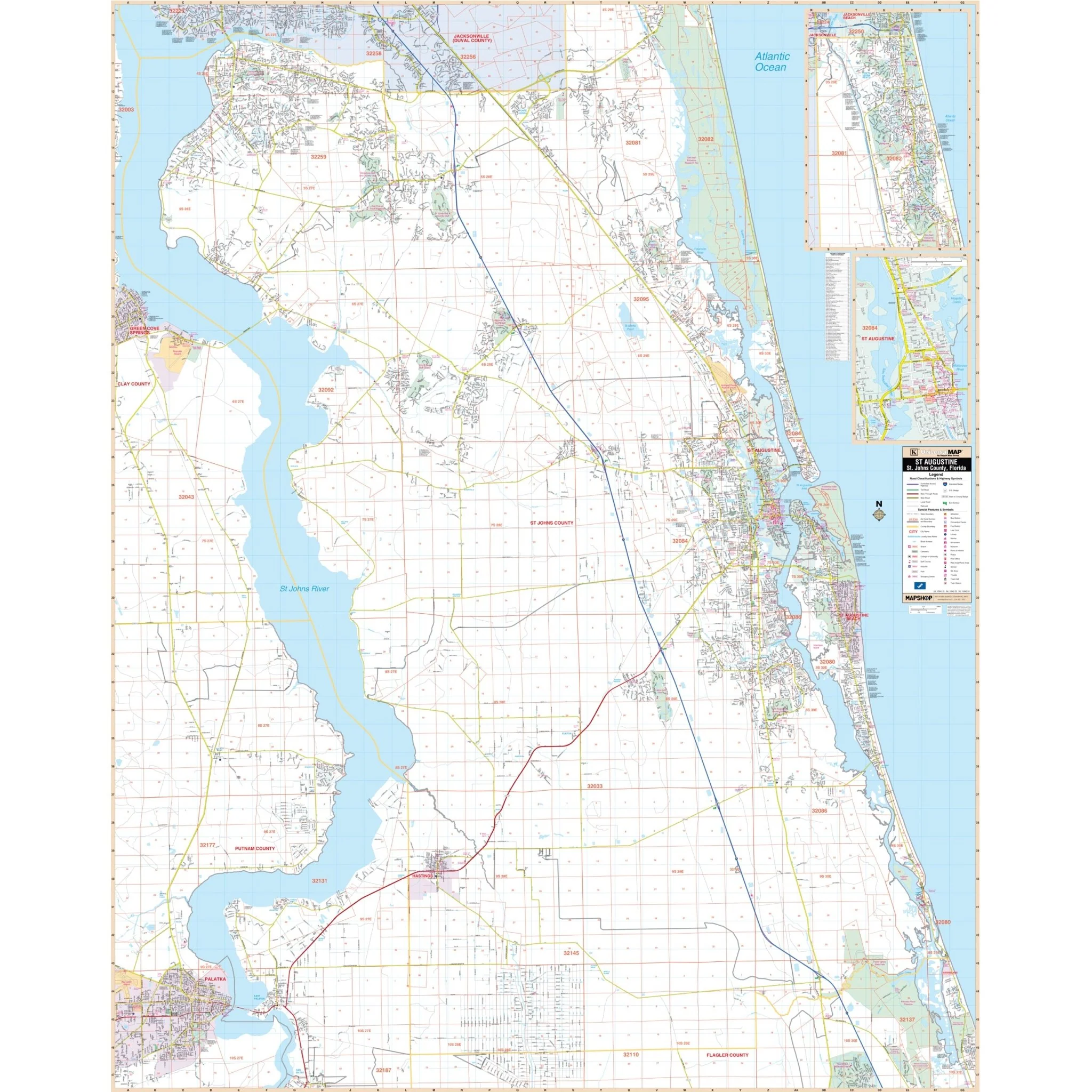
Discover the beauty and history of St. Augustine and St. Johns County, Florida, with this detailed wall map. This comprehensive map provides a wealth of information to assist both residents and visitors in navigating this captivating area.
Covering all of St. Johns County, the map's boundaries extend as follows:
- North: Extending to the Duval County Line
- South: Extending to the Flagler County Line
- East: Extending to the Atlantic Ocean
- West: Extending to the St. Johns River
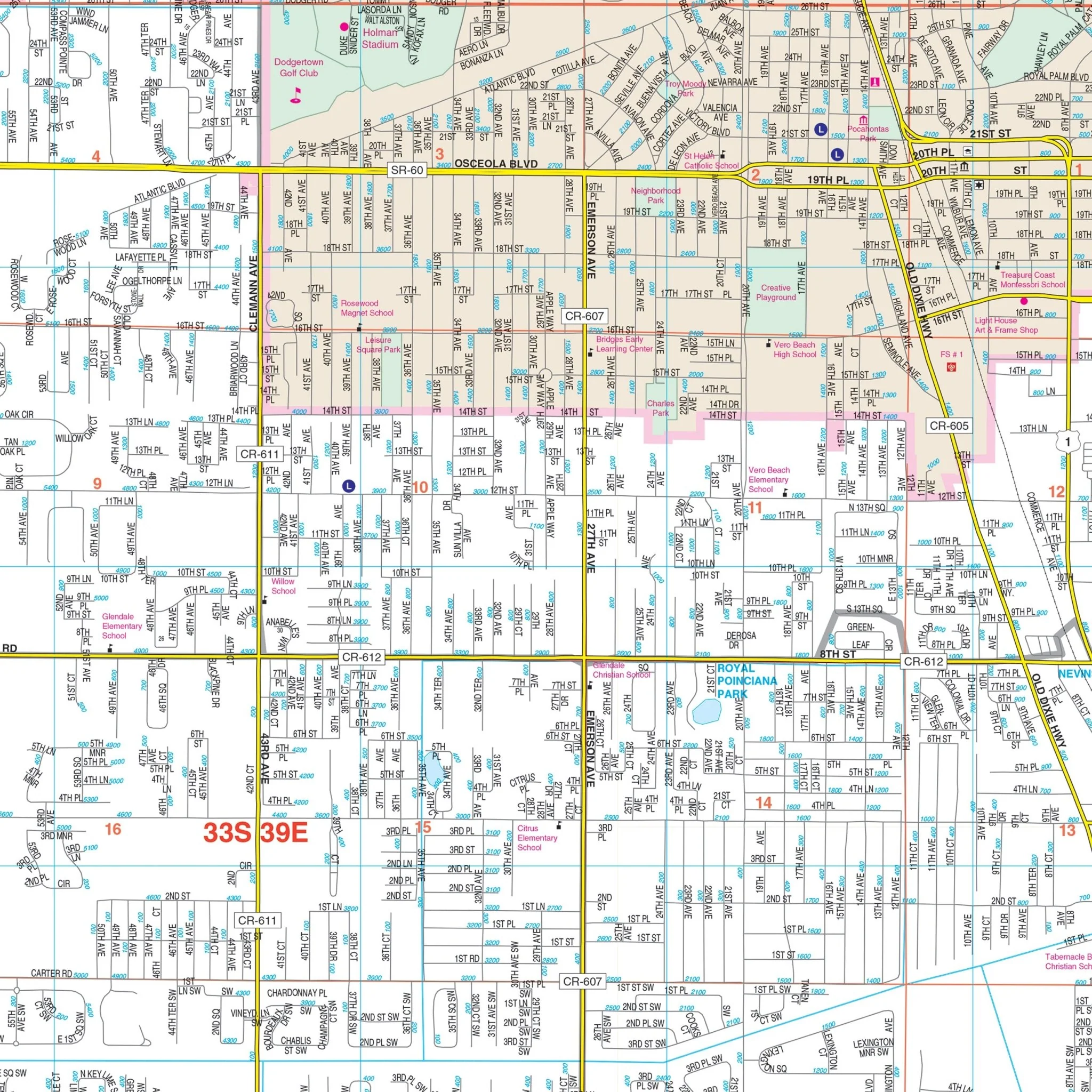
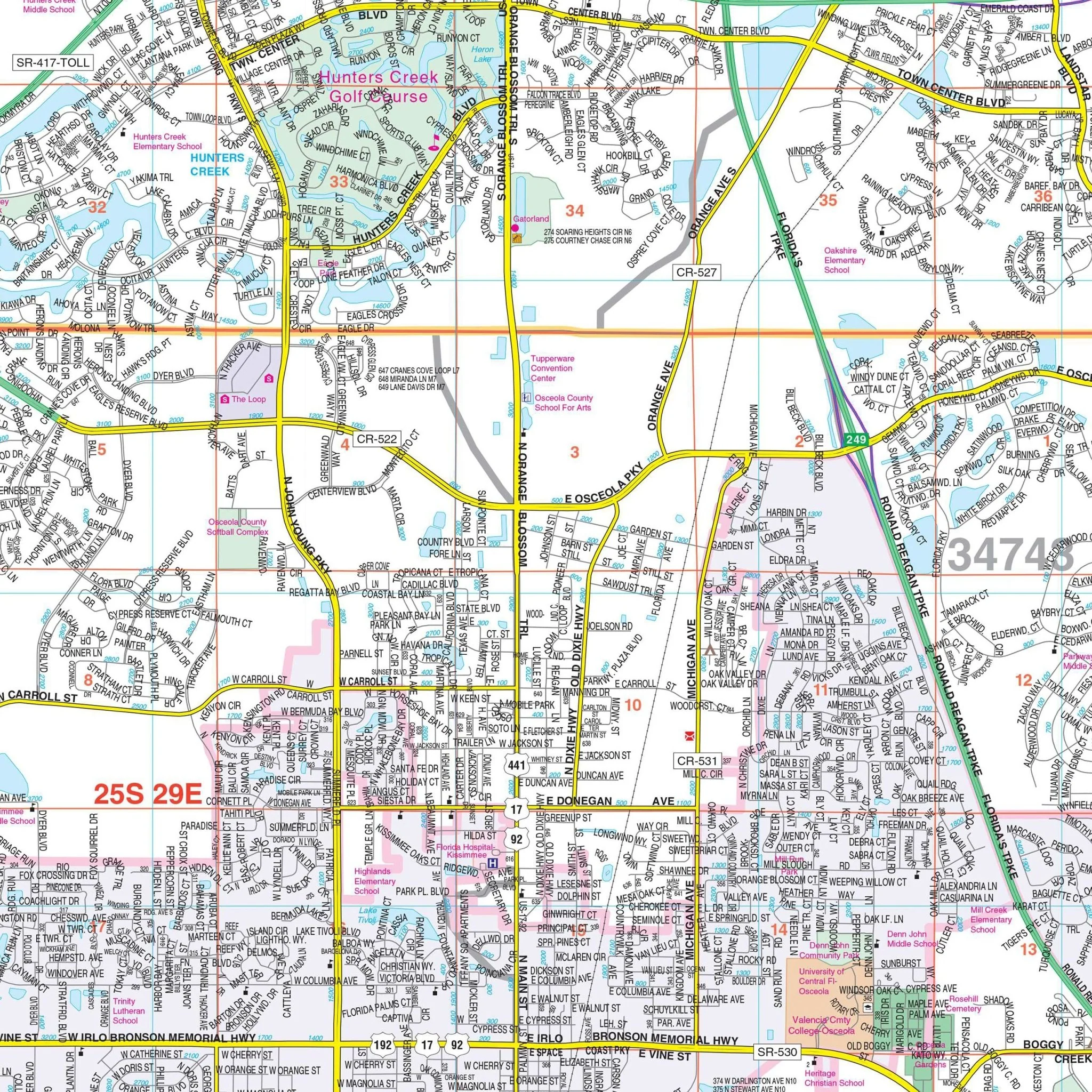
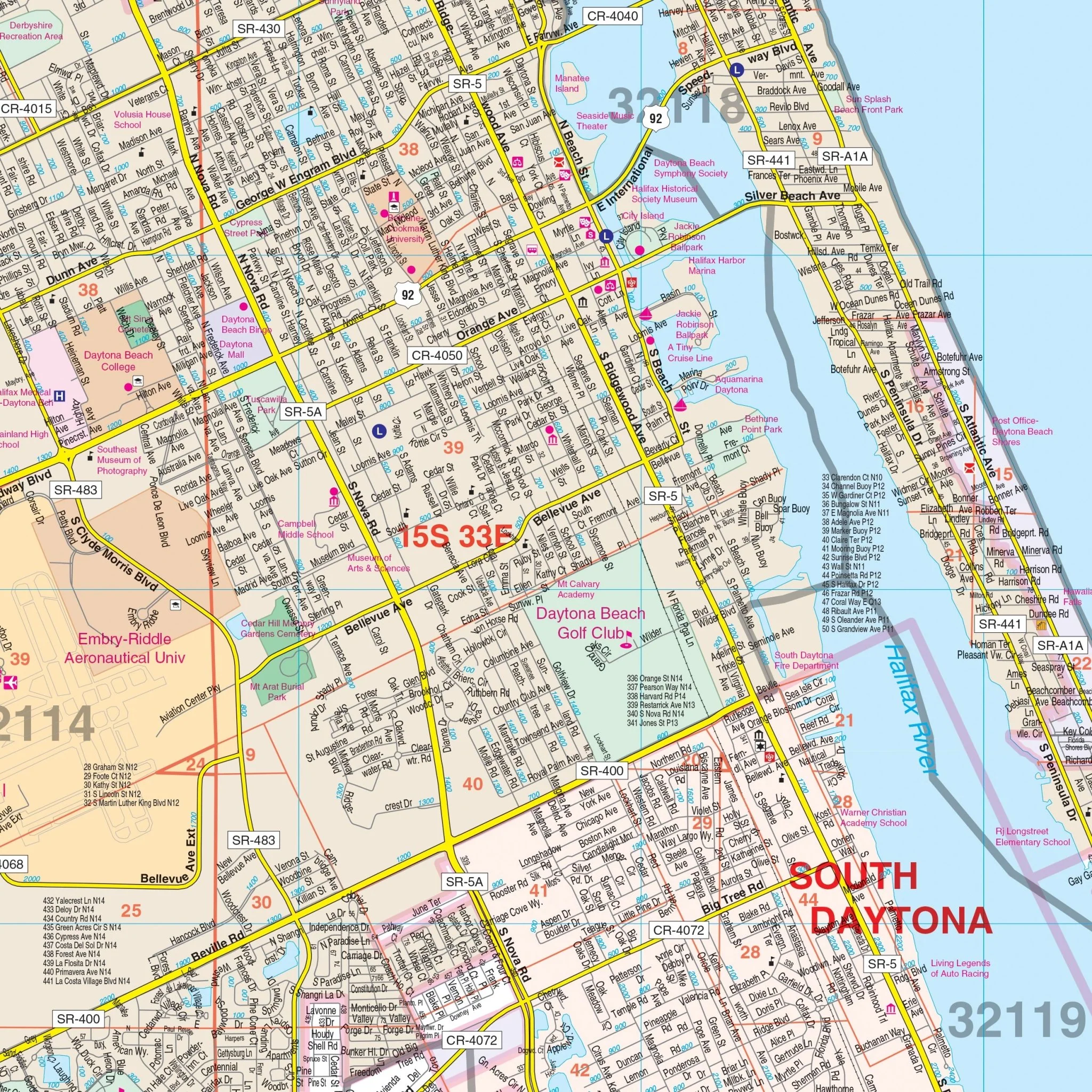
In addition to its extensive coverage, the map includes a detailed inset of Historic St. Augustine, highlighting the rich heritage of this region.
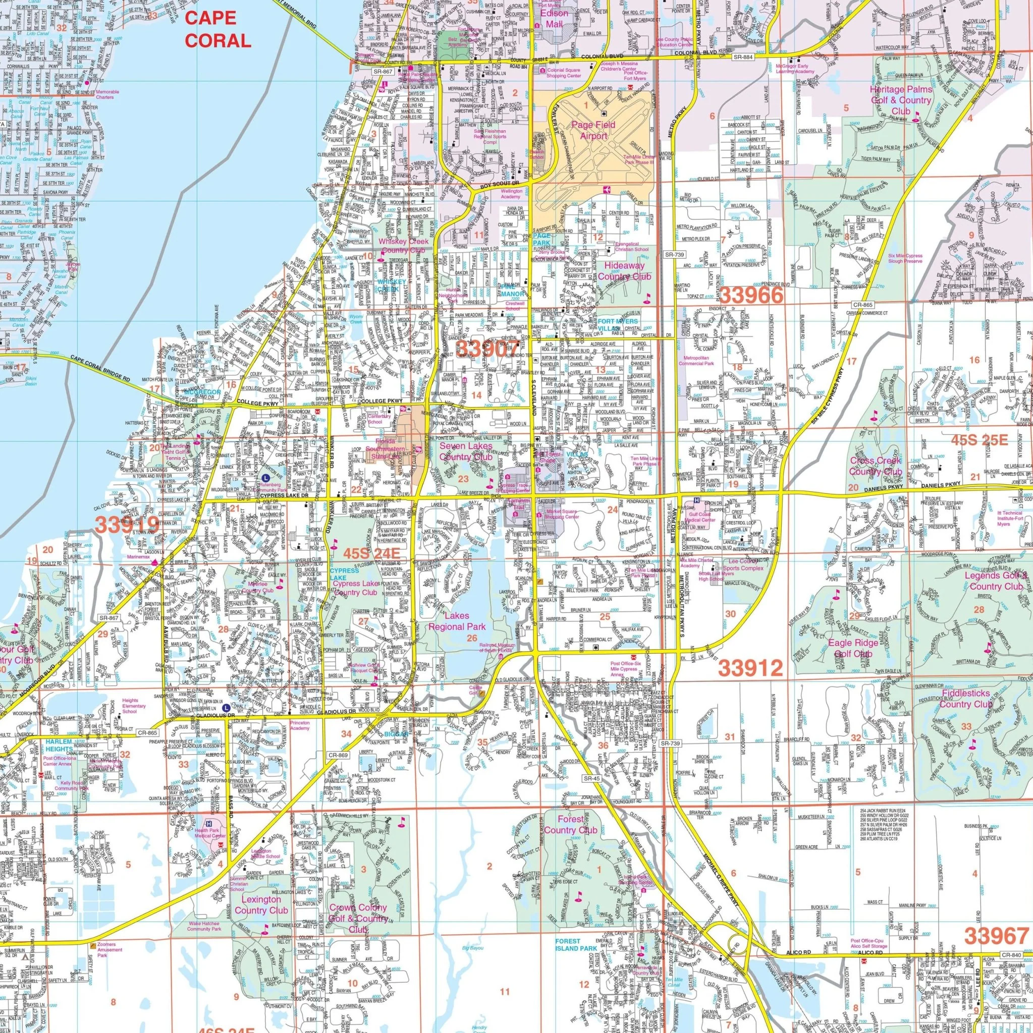
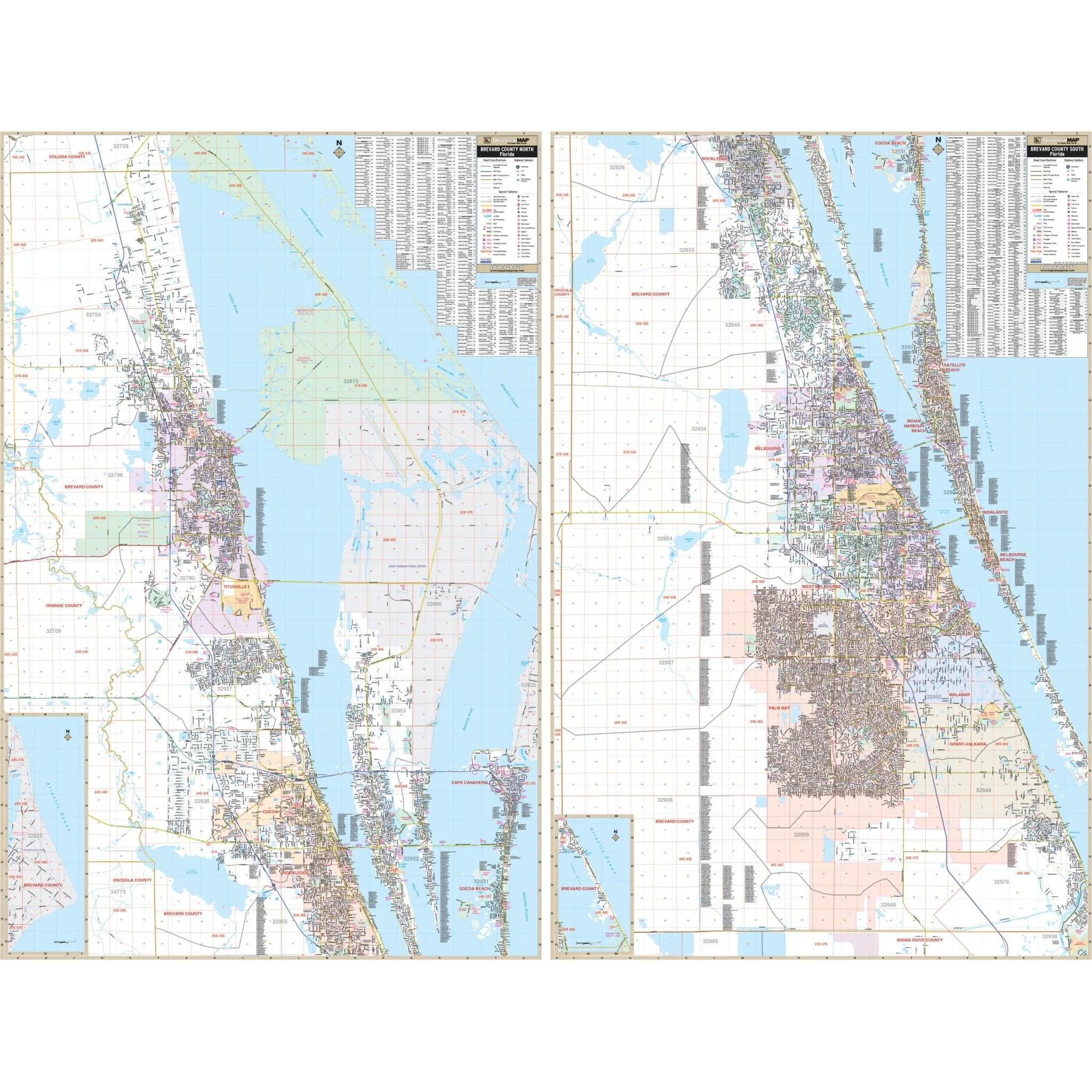
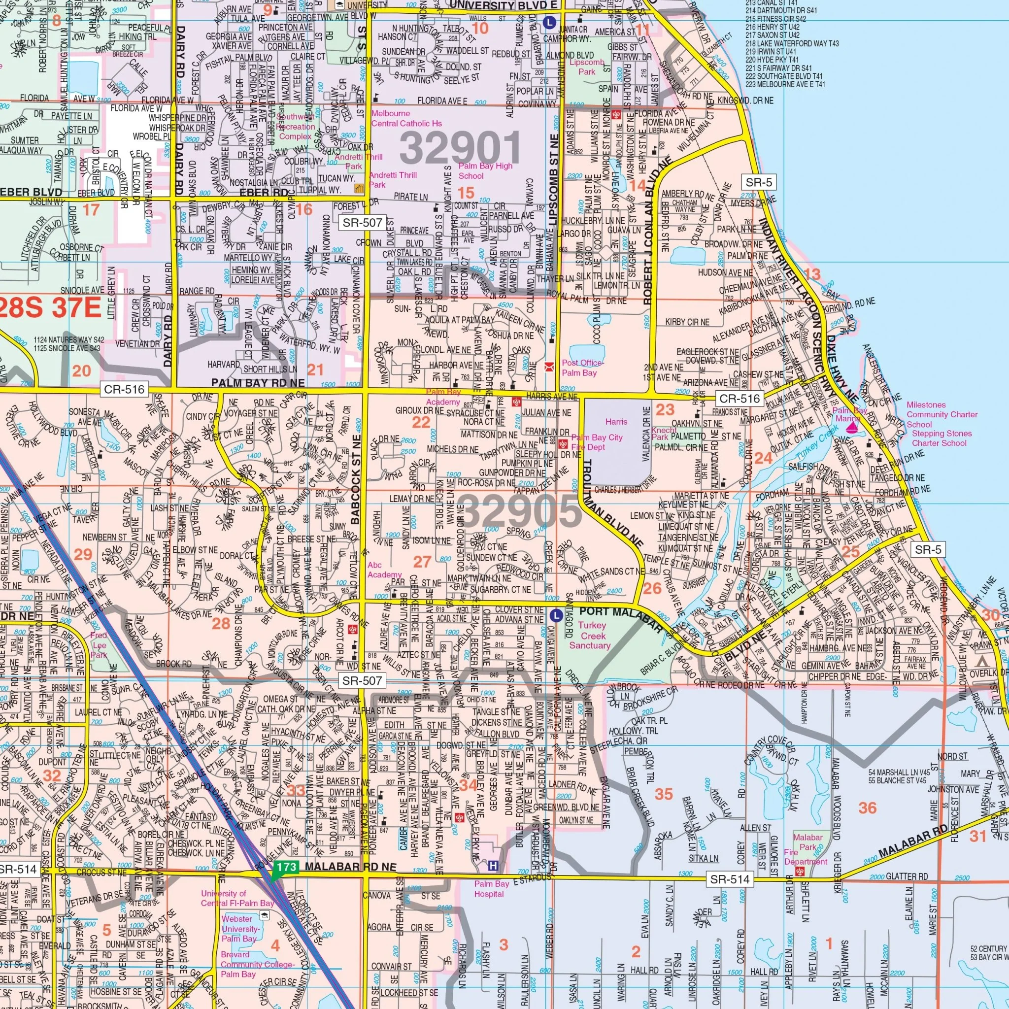
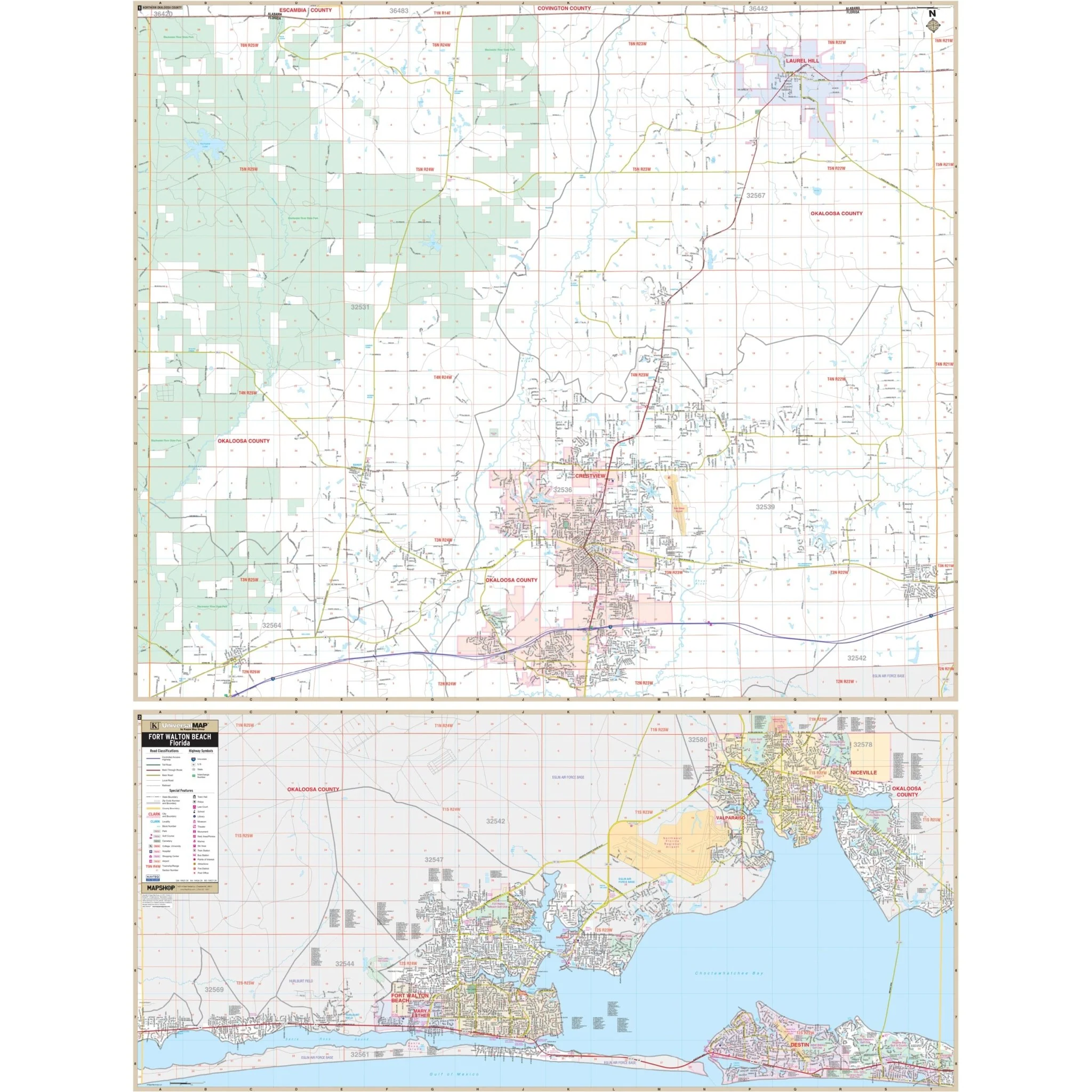
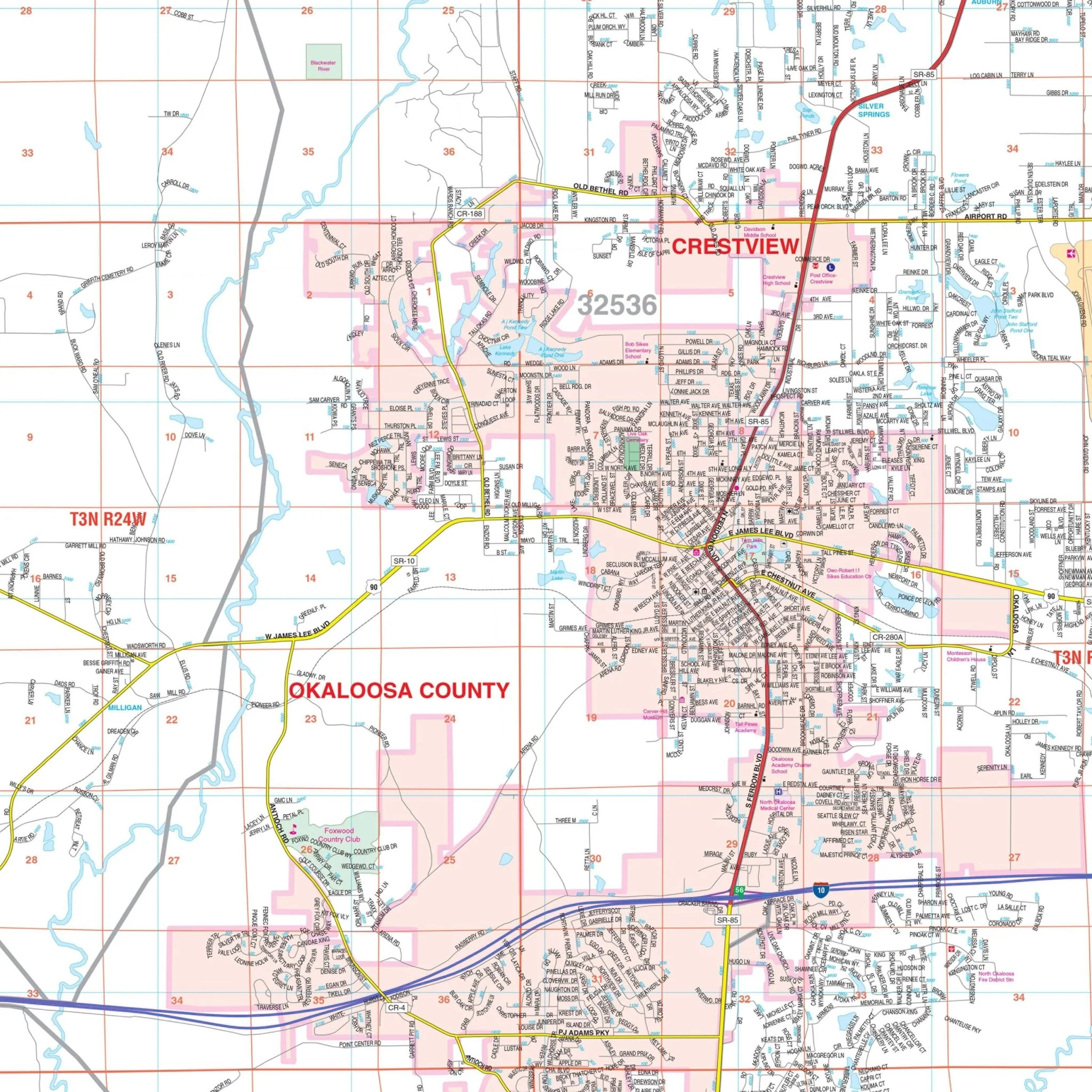
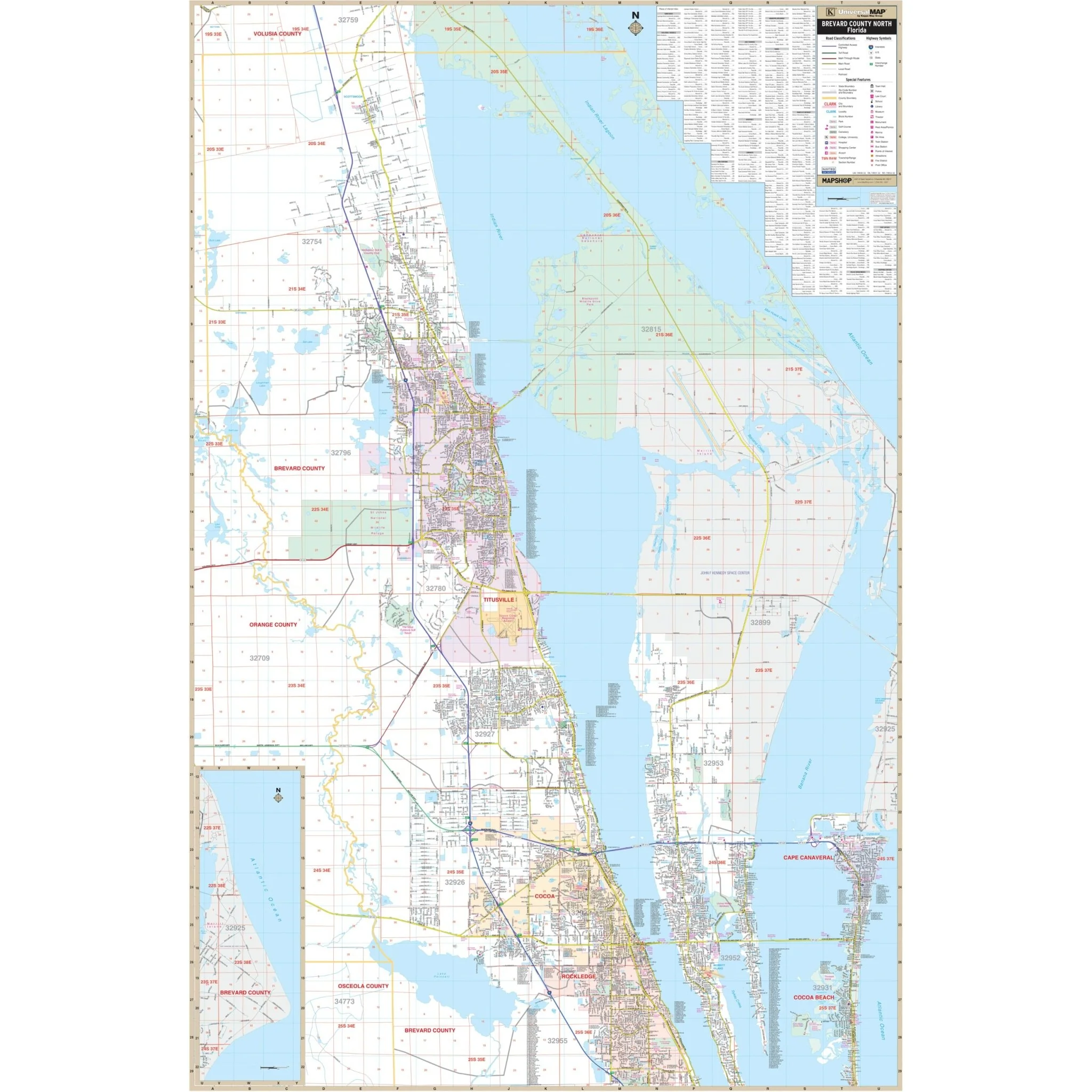
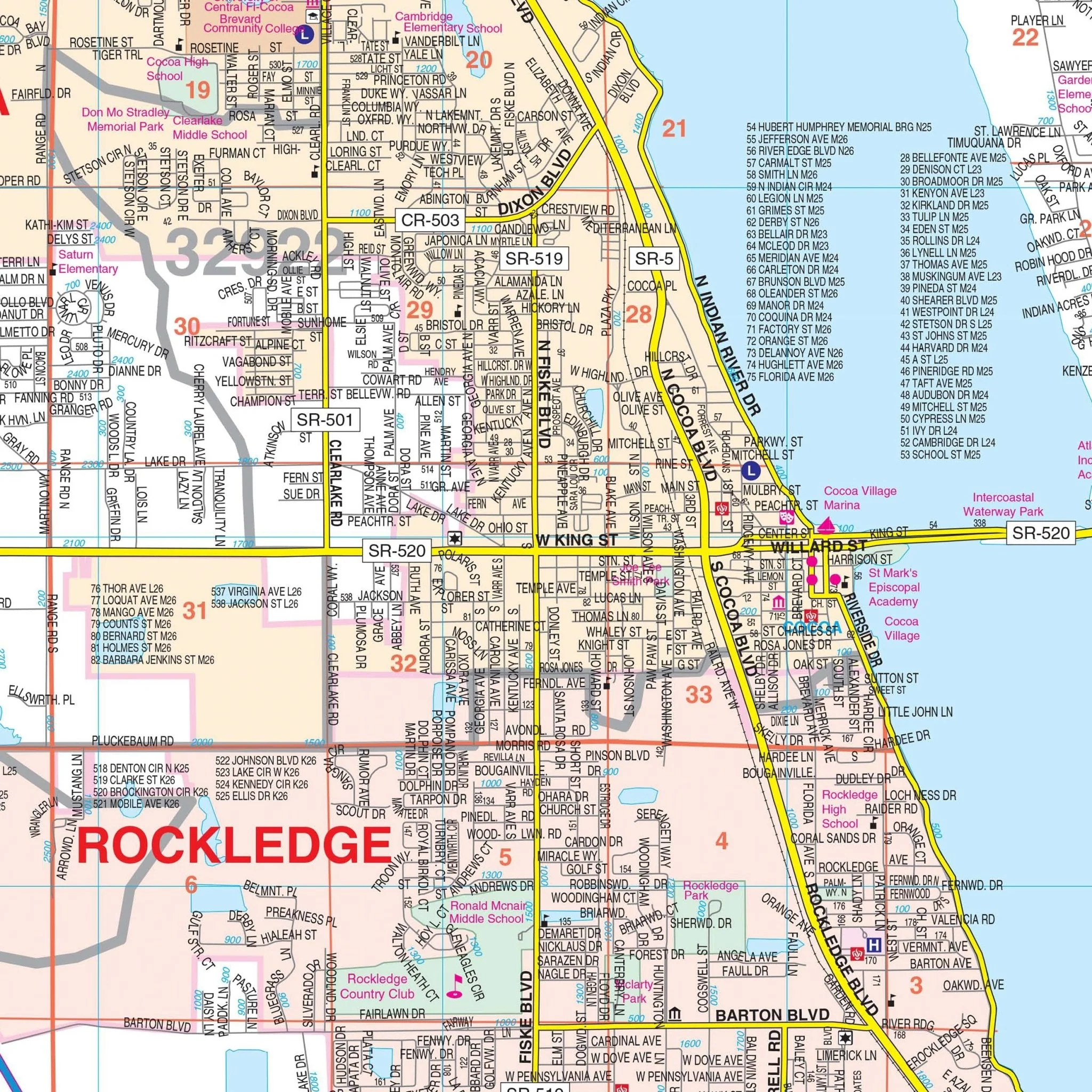
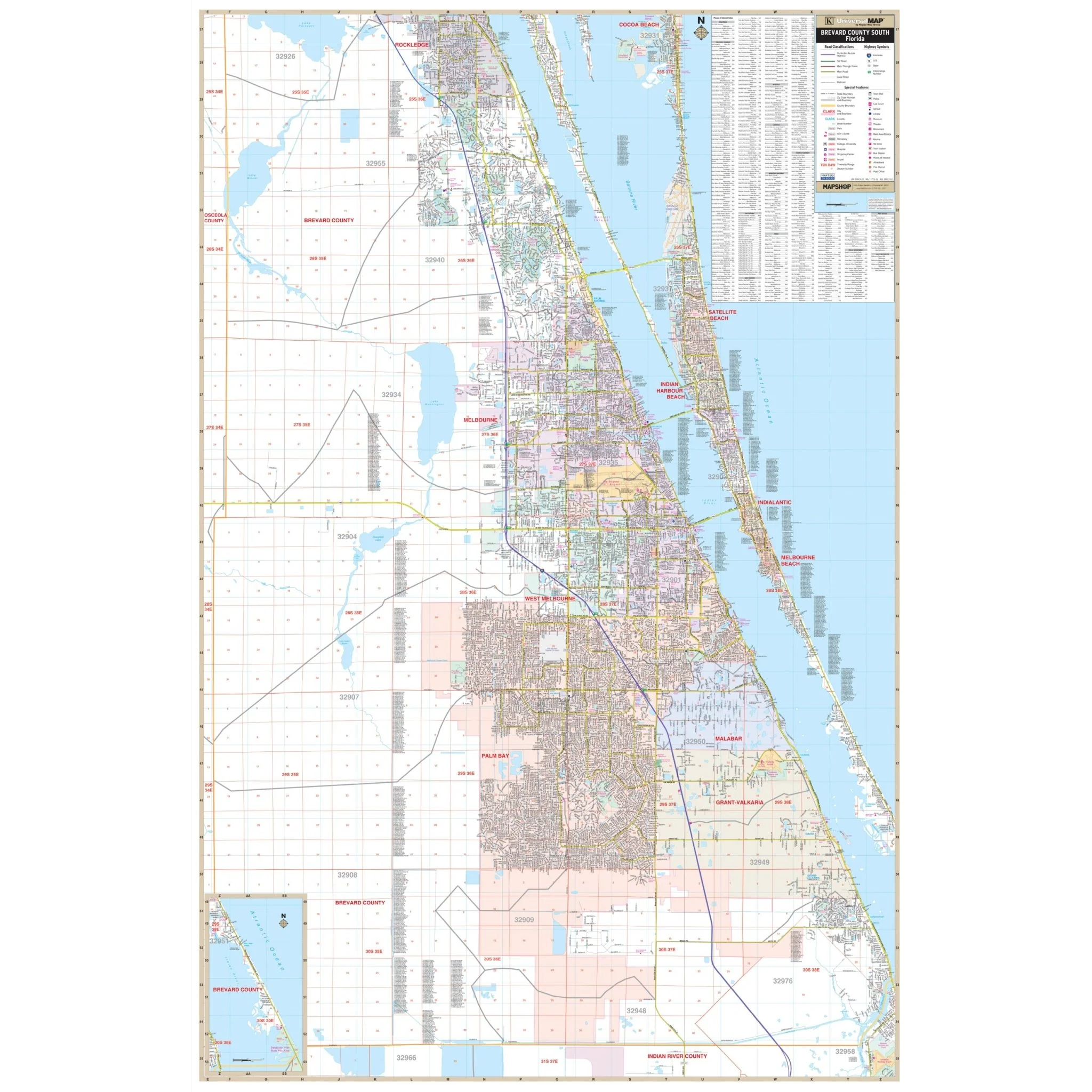
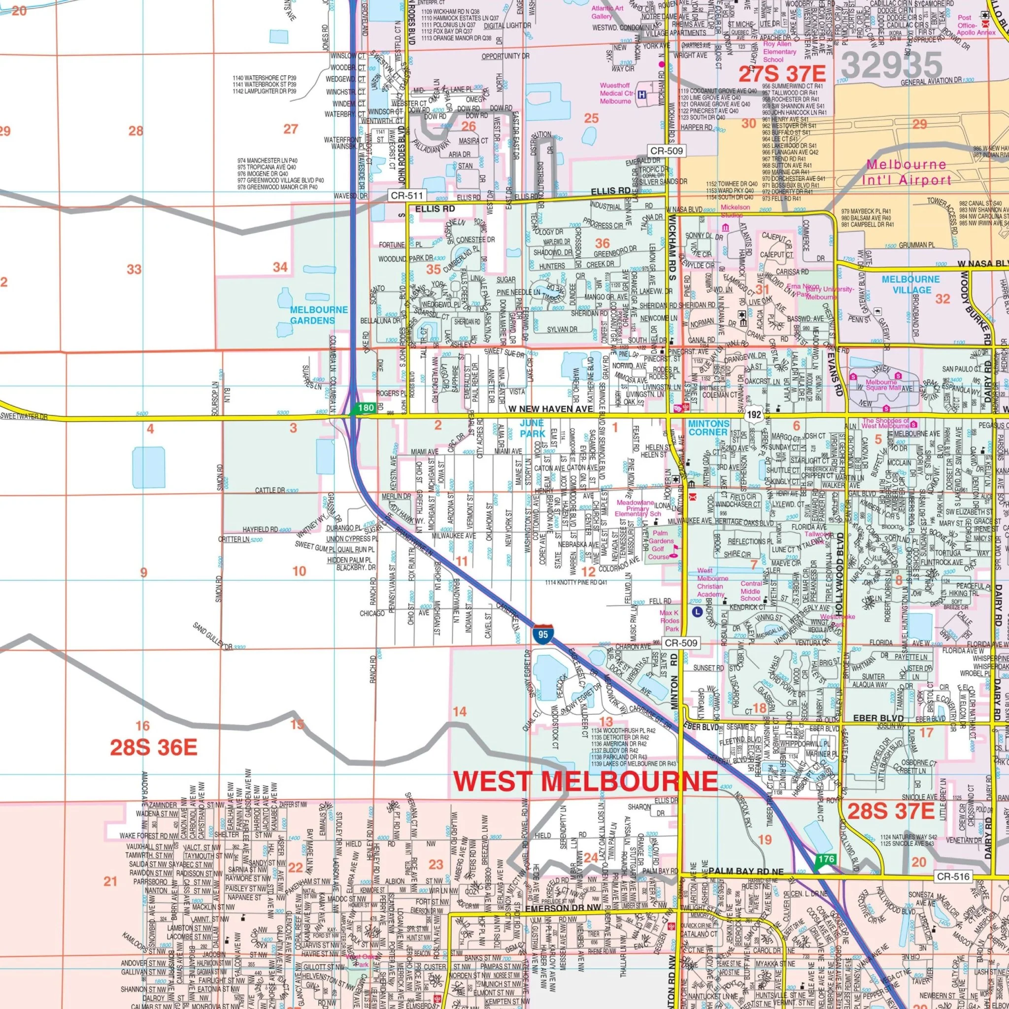
Key features on the map encompass streets and highways, post offices, hospitals, railroads, cemeteries, shopping centers, water features, recreational parks, government buildings, fire and police stations, educational institutions, golf courses, country clubs, section/township/range lines, city limits and annexations, ZIP code numbers and boundaries, as well as points of interest.
Whether you're exploring the historic streets of St. Augustine or the natural beauty of St. Johns County, this wall map is your indispensable companion for a comprehensive and detailed view of the area.
Size: 54" x 67.5"
Published: 2019
Product Information
Product Information
Shipping & Returns
Shipping & Returns
Description
Discover the beauty and history of St. Augustine and St. Johns County, Florida, with this detailed wall map. This comprehensive map provides a wealth of information to assist both residents and visitors in navigating this captivating area.
Covering all of St. Johns County, the map's boundaries extend as follows:
- North: Extending to the Duval County Line
- South: Extending to the Flagler County Line
- East: Extending to the Atlantic Ocean
- West: Extending to the St. Johns River
In addition to its extensive coverage, the map includes a detailed inset of Historic St. Augustine, highlighting the rich heritage of this region.
Key features on the map encompass streets and highways, post offices, hospitals, railroads, cemeteries, shopping centers, water features, recreational parks, government buildings, fire and police stations, educational institutions, golf courses, country clubs, section/township/range lines, city limits and annexations, ZIP code numbers and boundaries, as well as points of interest.
Whether you're exploring the historic streets of St. Augustine or the natural beauty of St. Johns County, this wall map is your indispensable companion for a comprehensive and detailed view of the area.
Size: 54" x 67.5"
Published: 2019