

Tampa & Hillsborough County, FL Wall Map
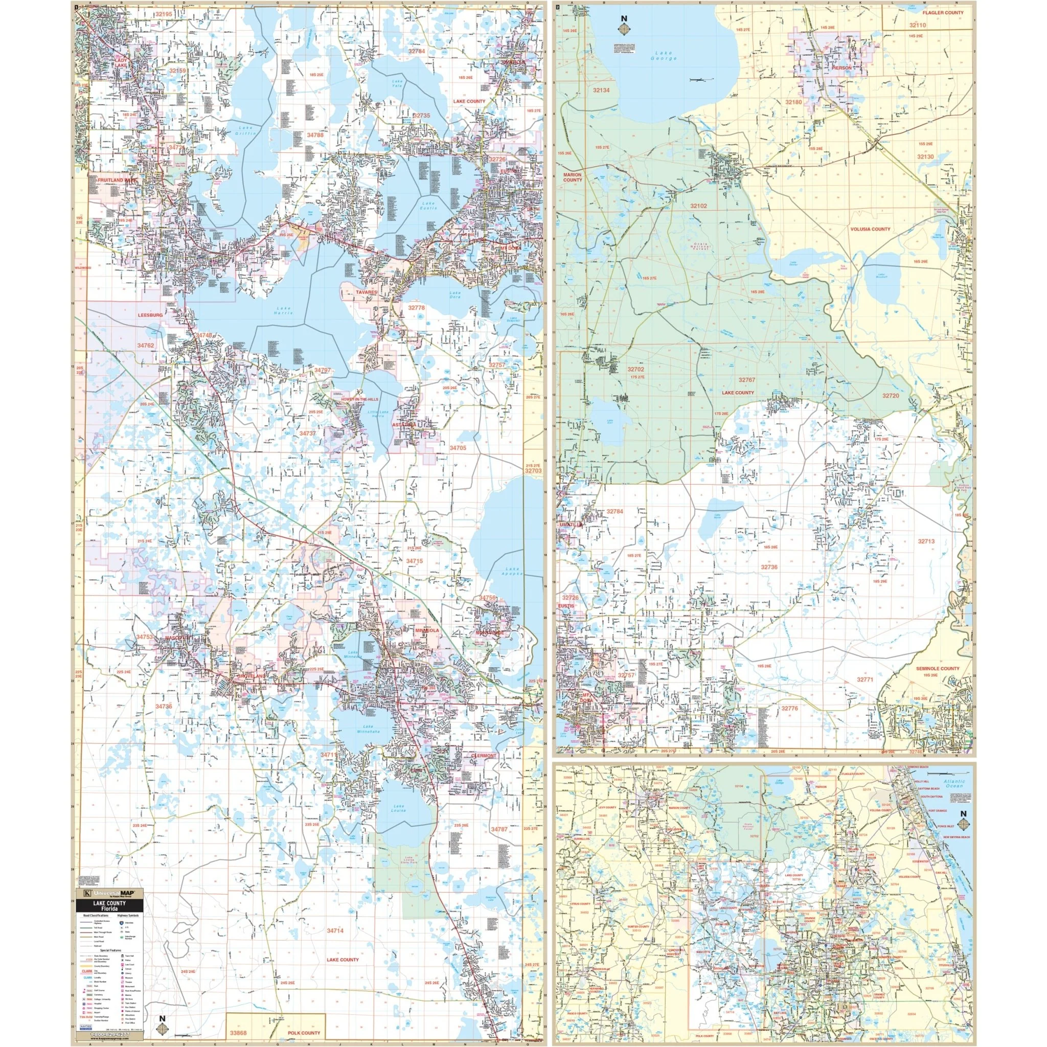
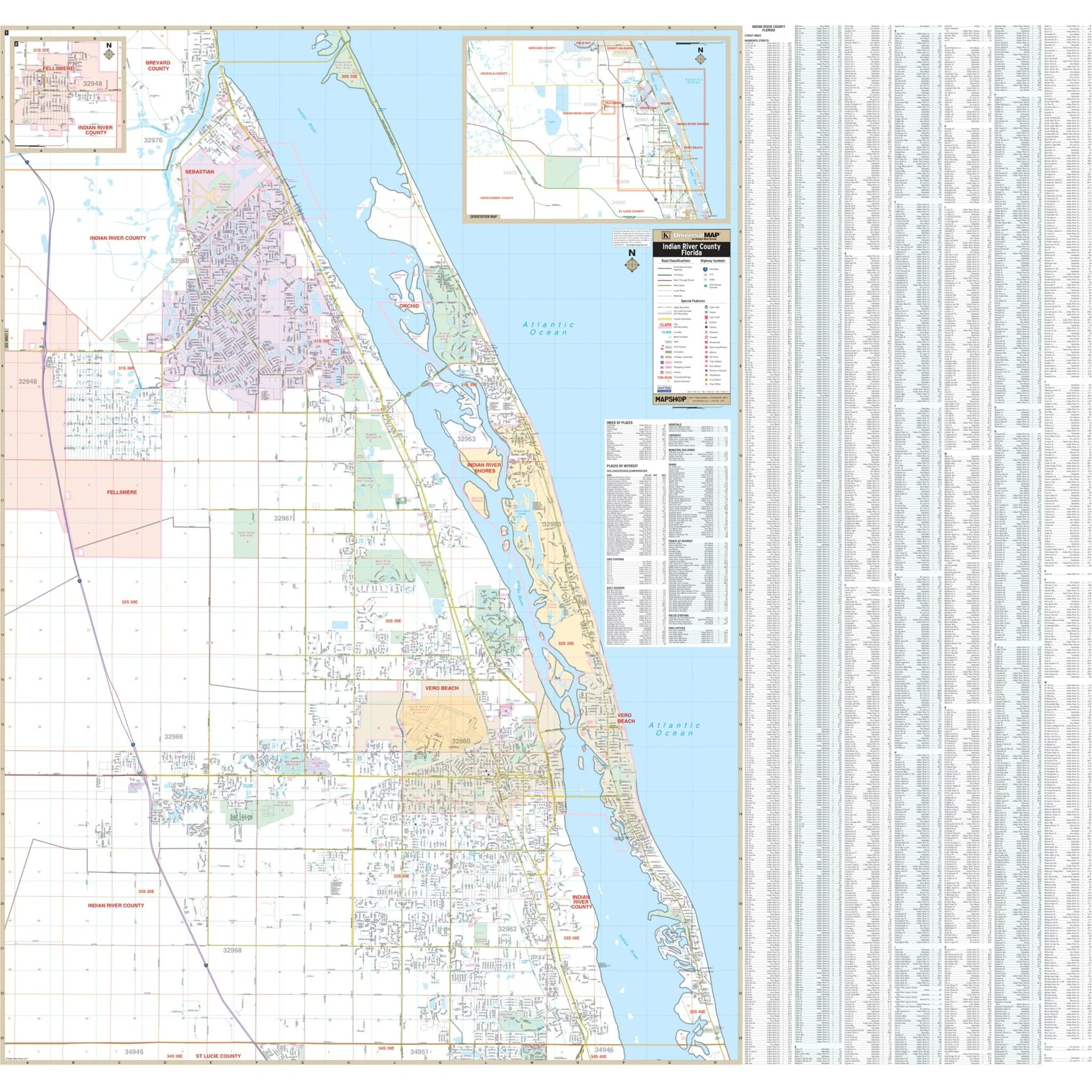
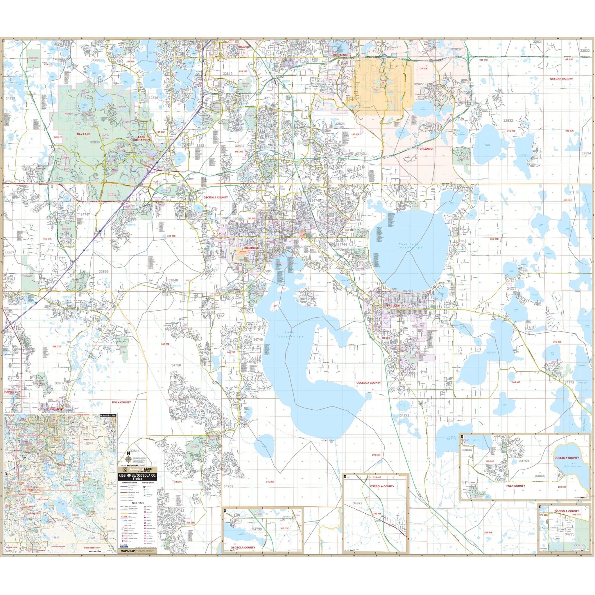
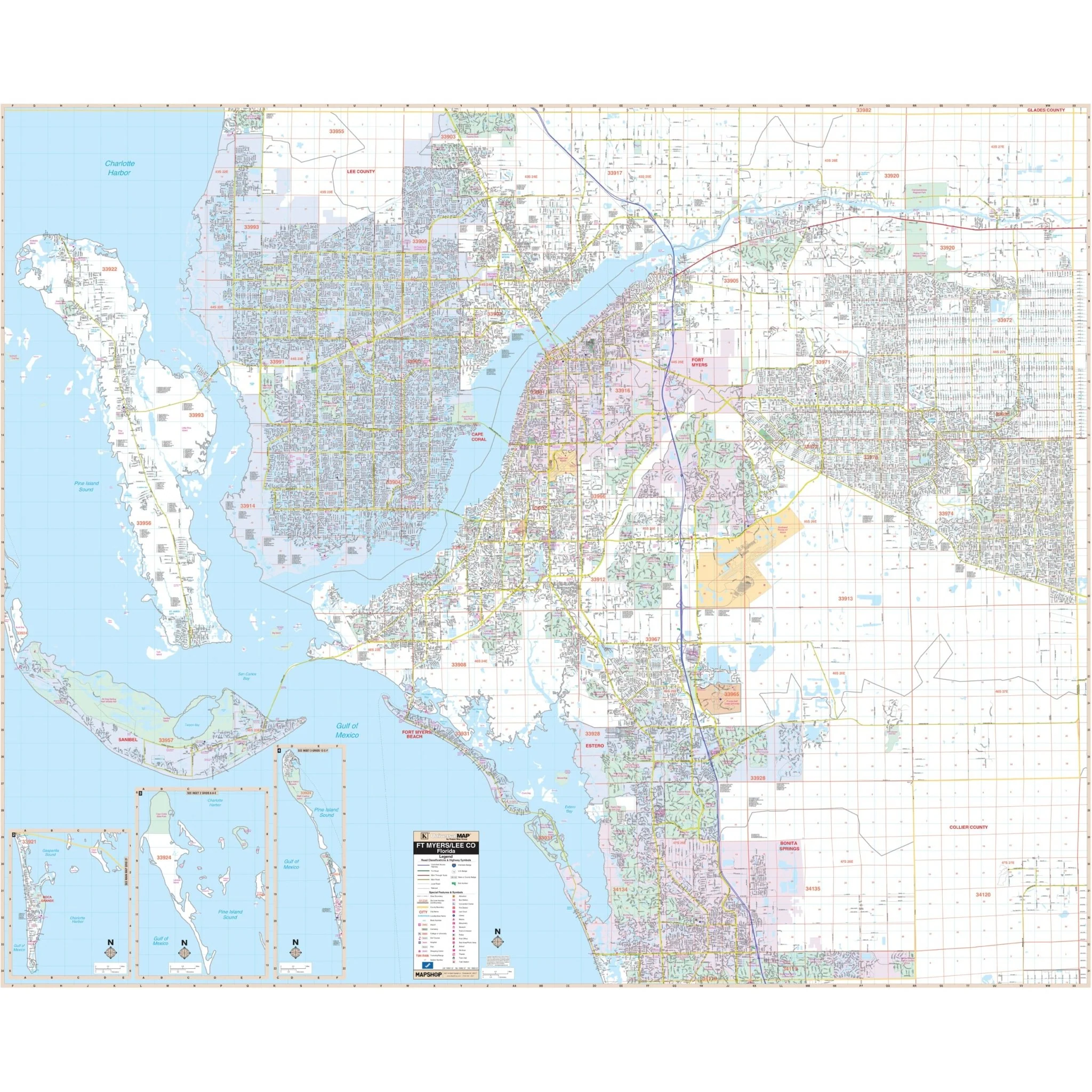
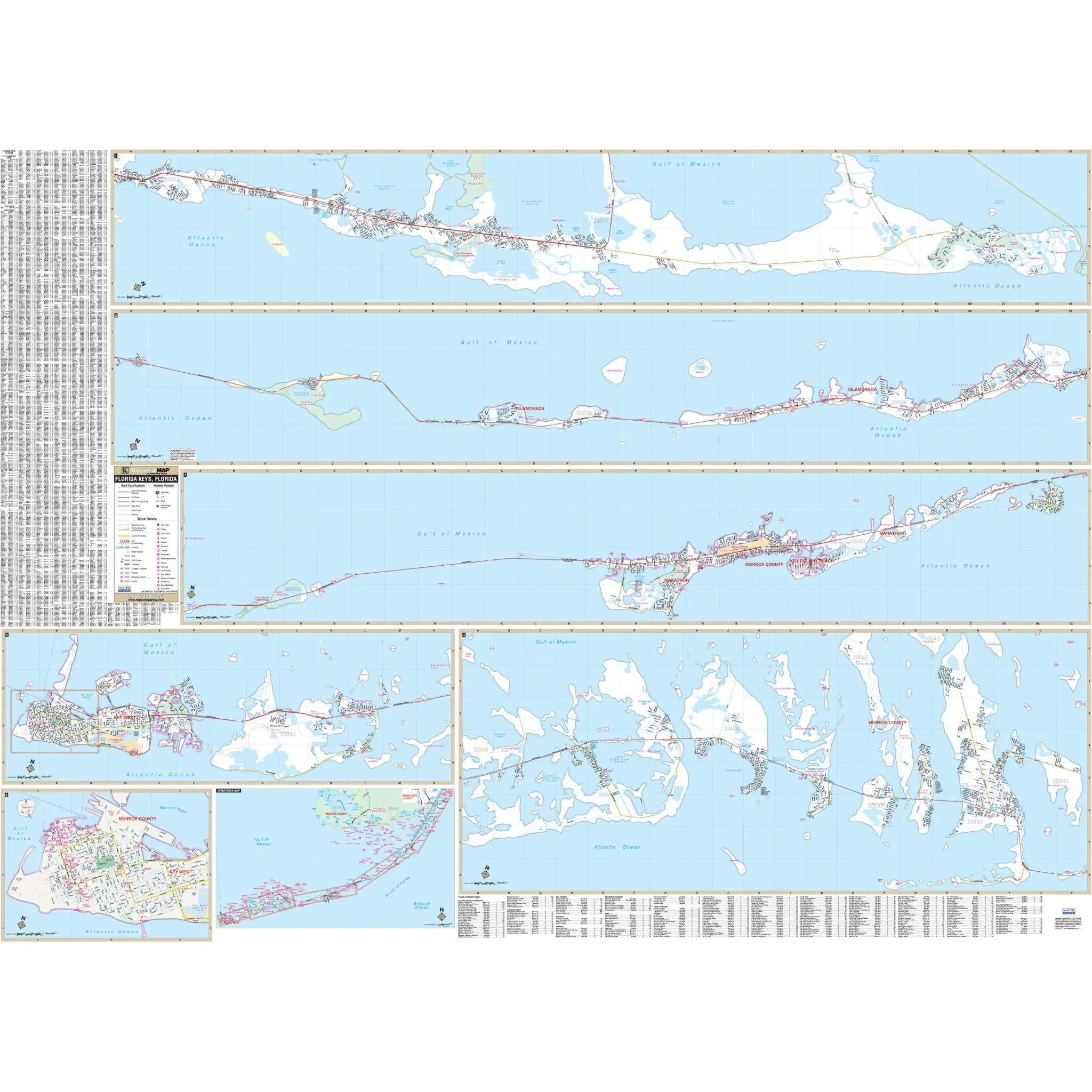
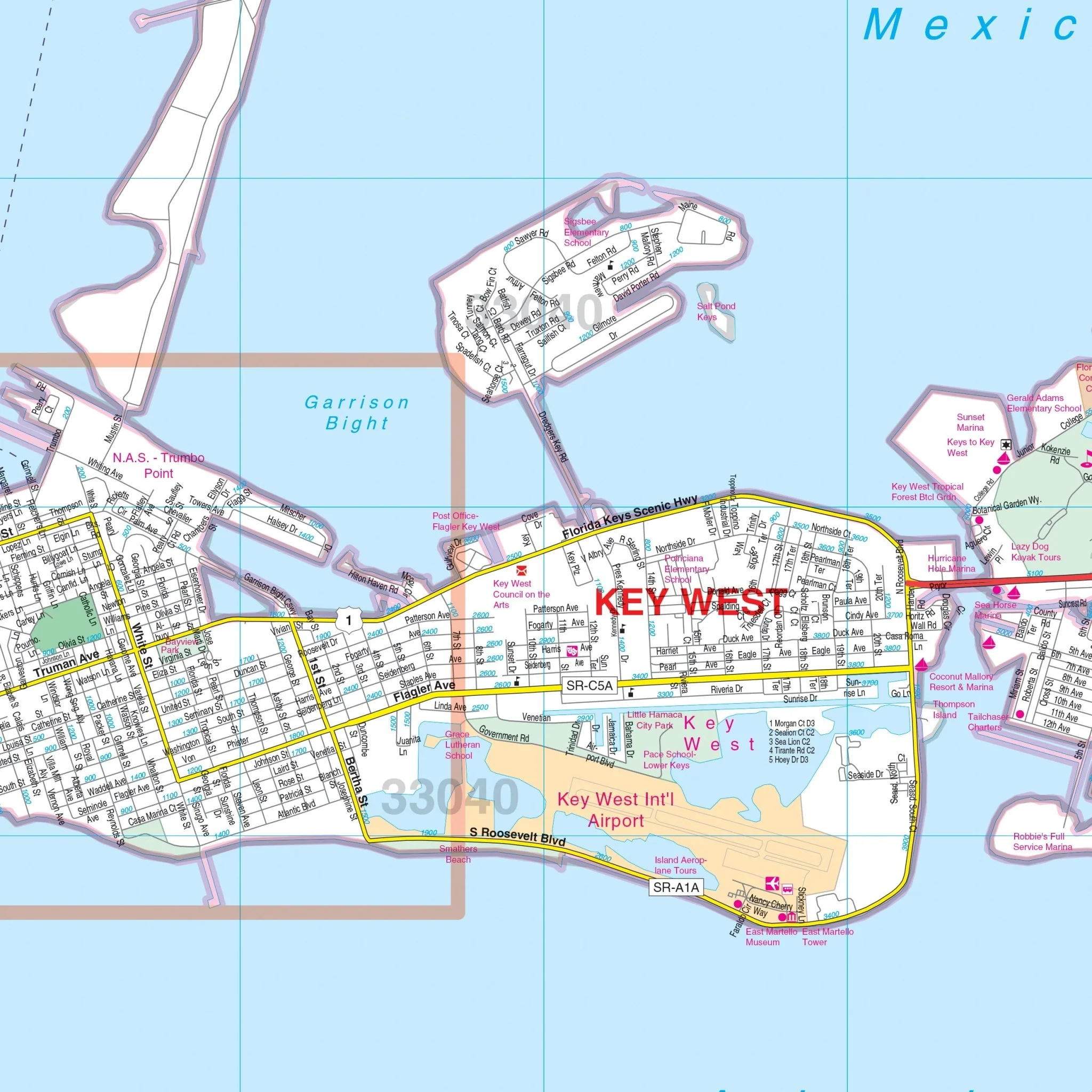
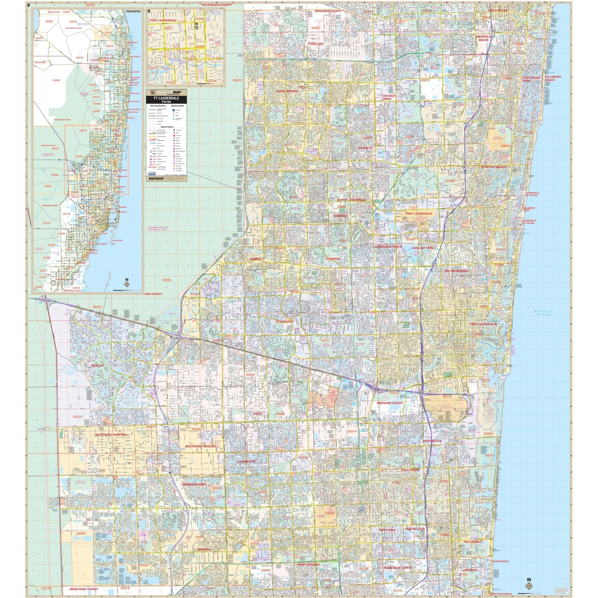
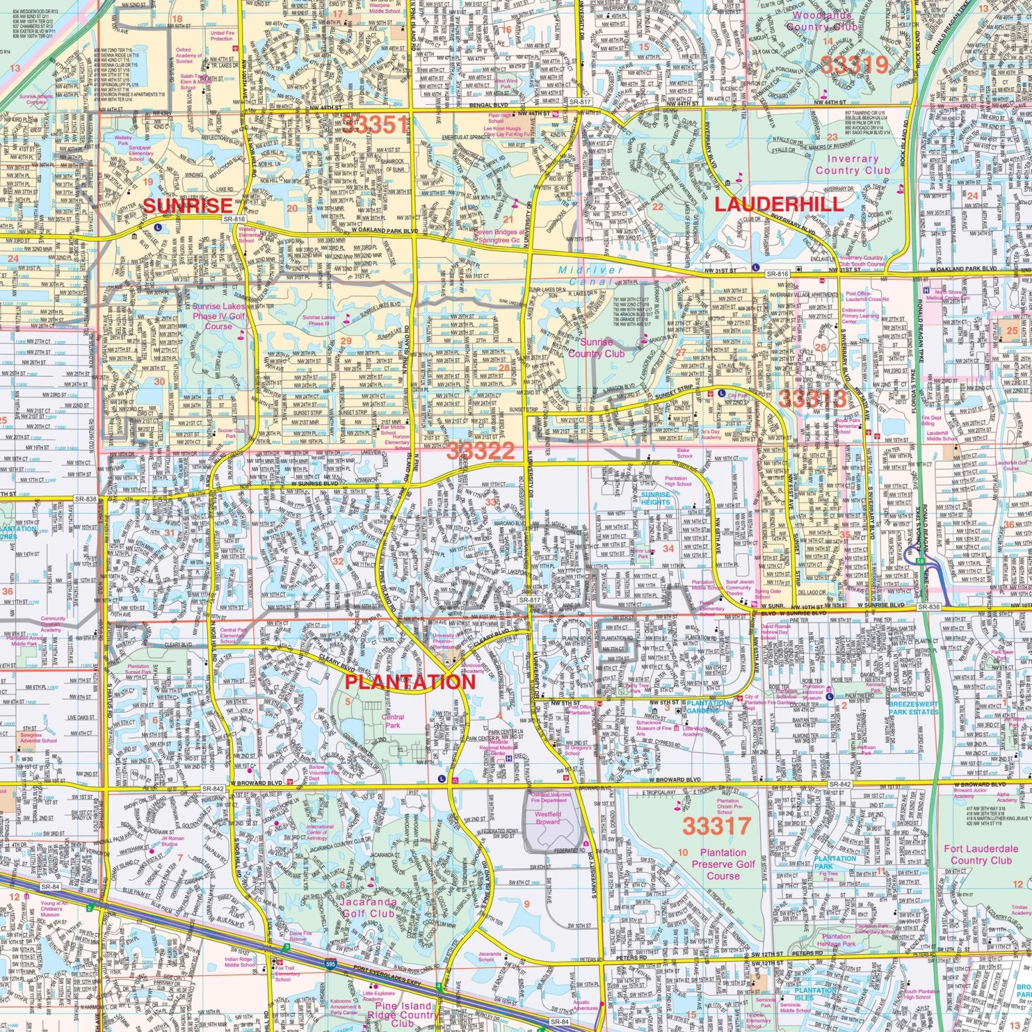
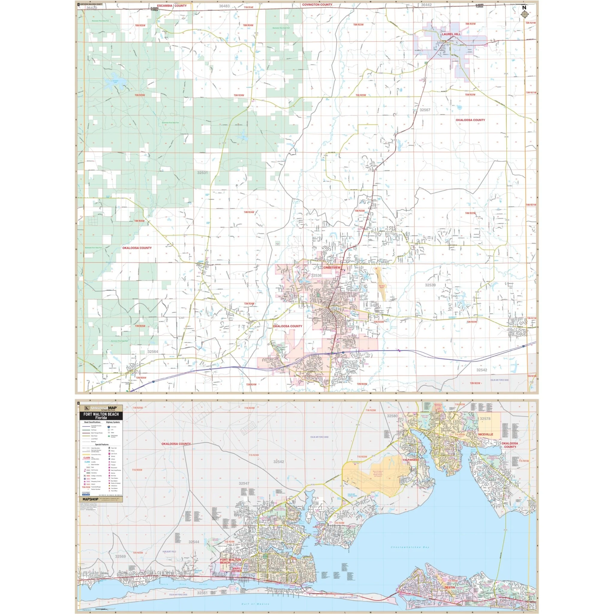
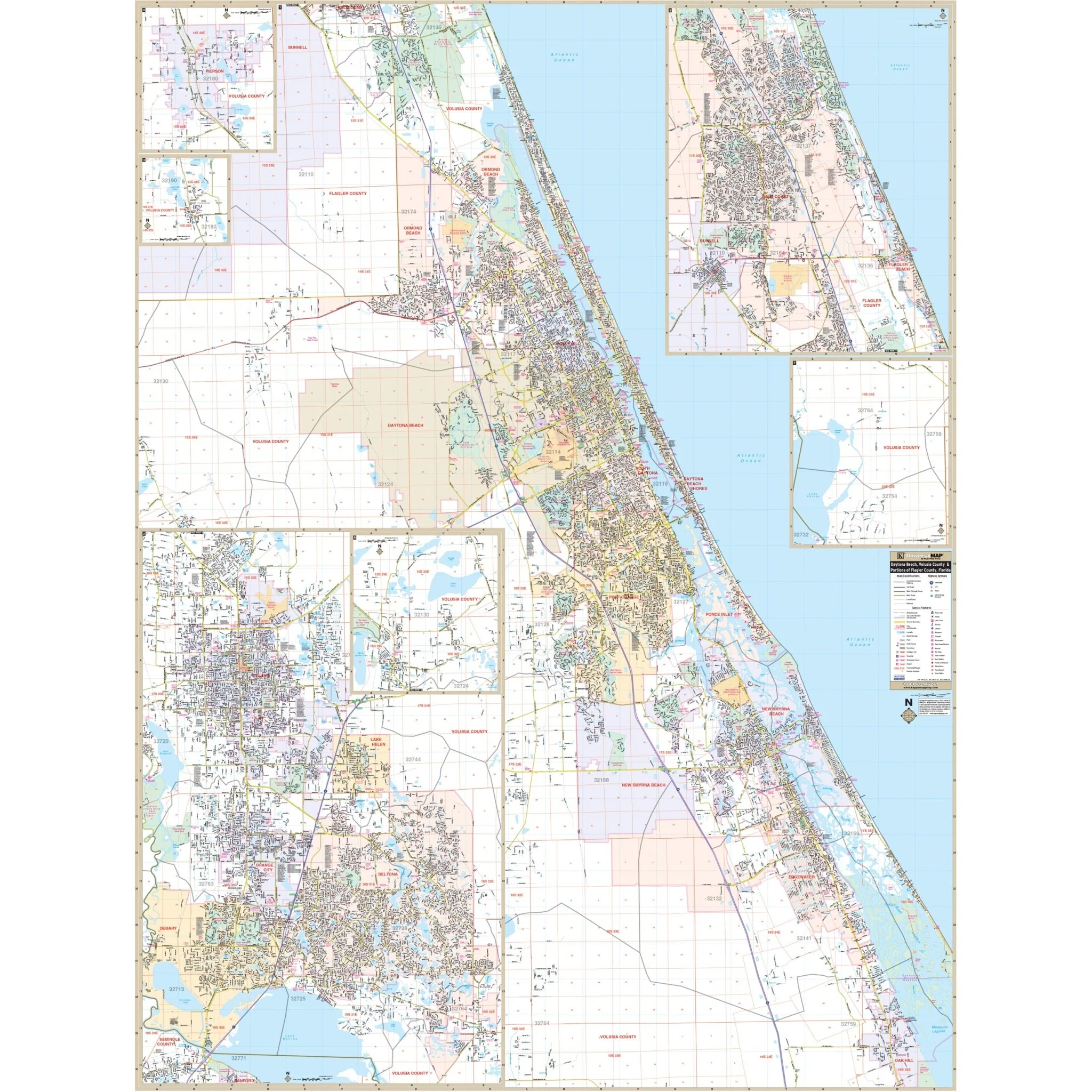
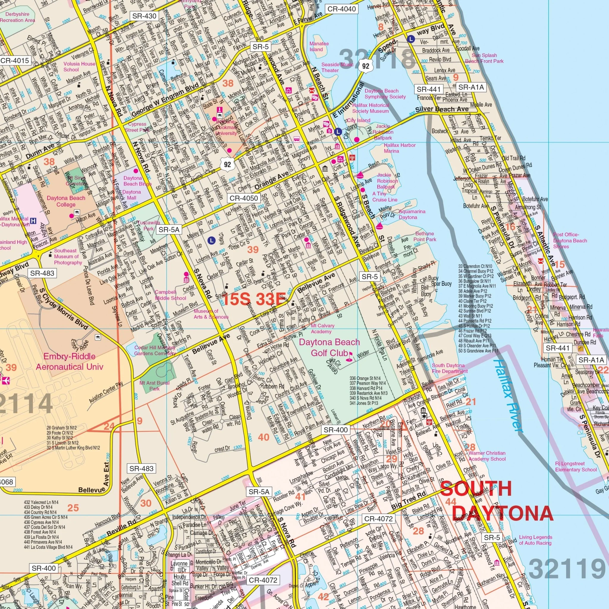
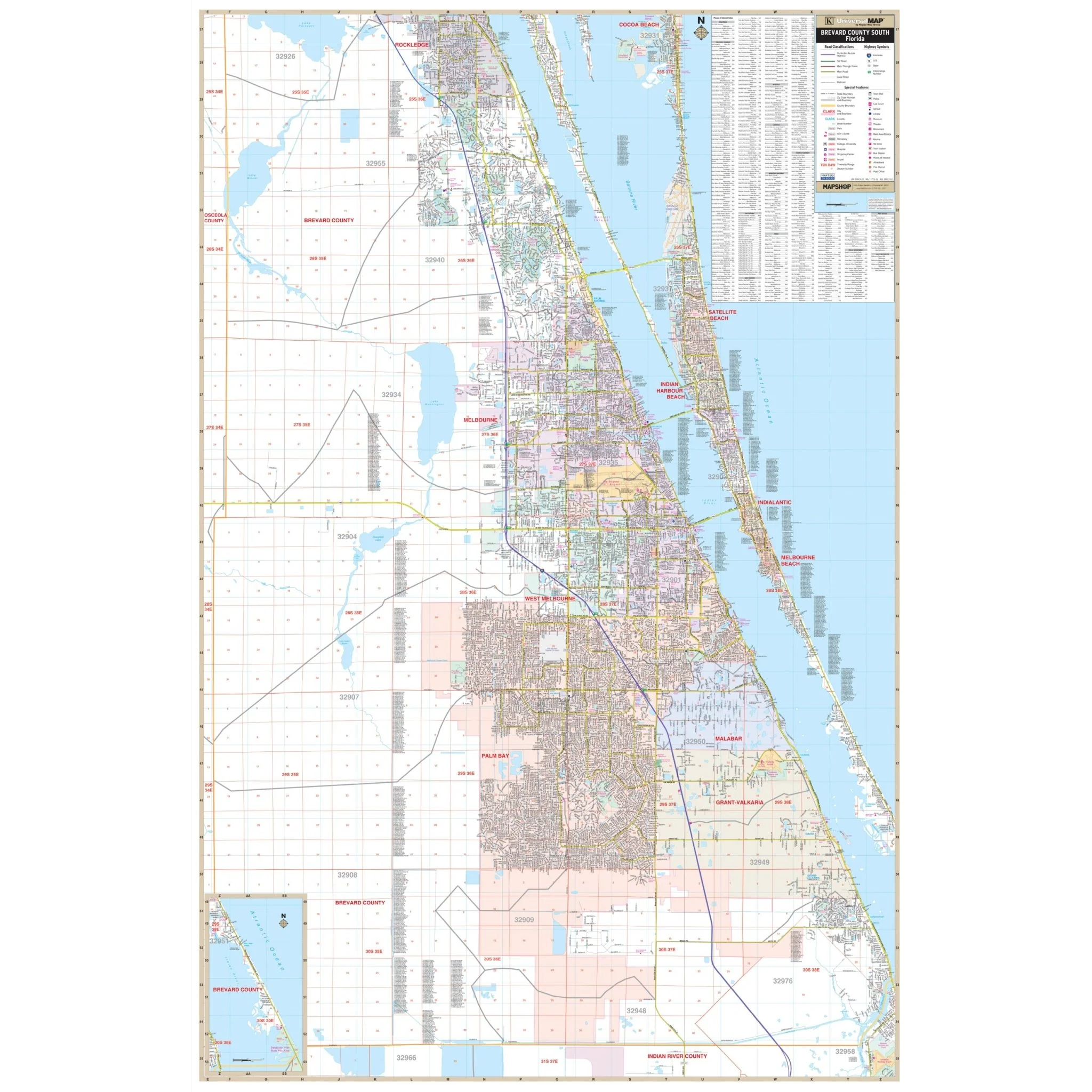
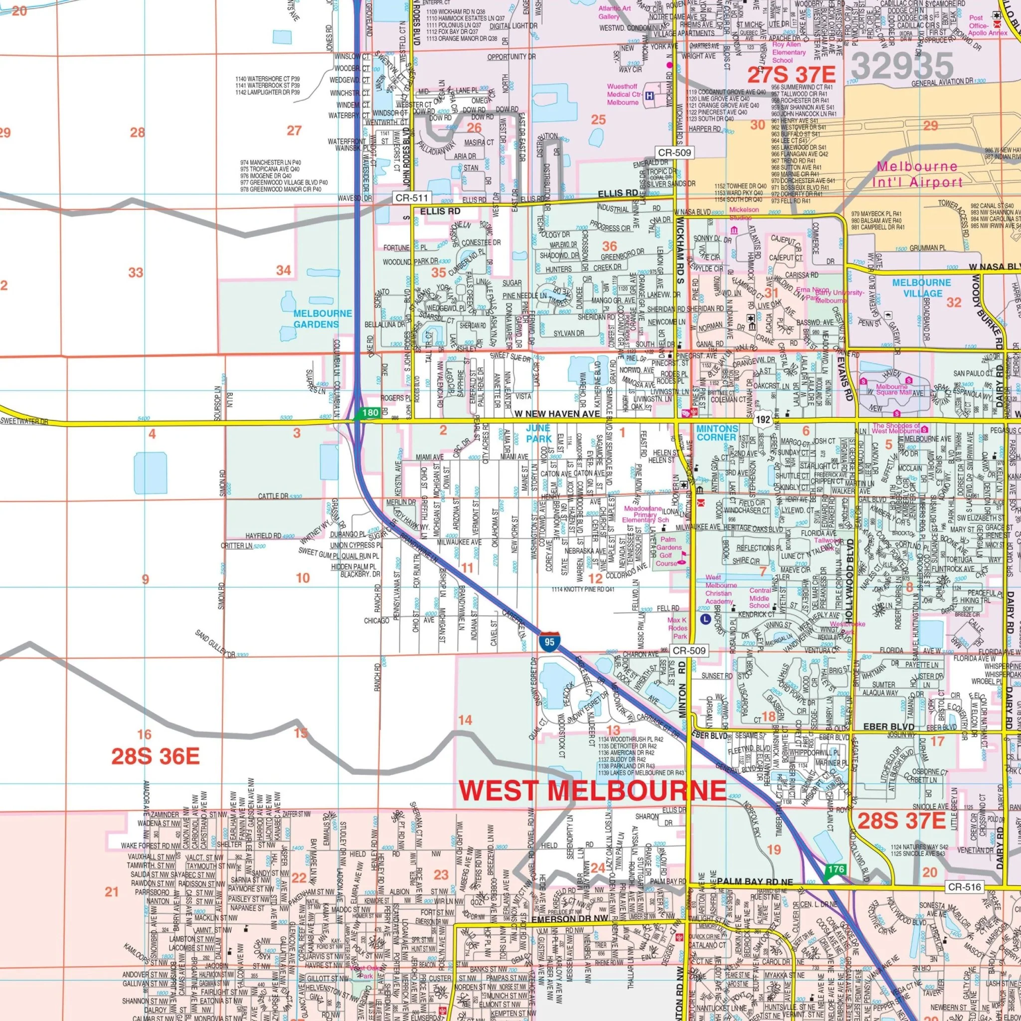
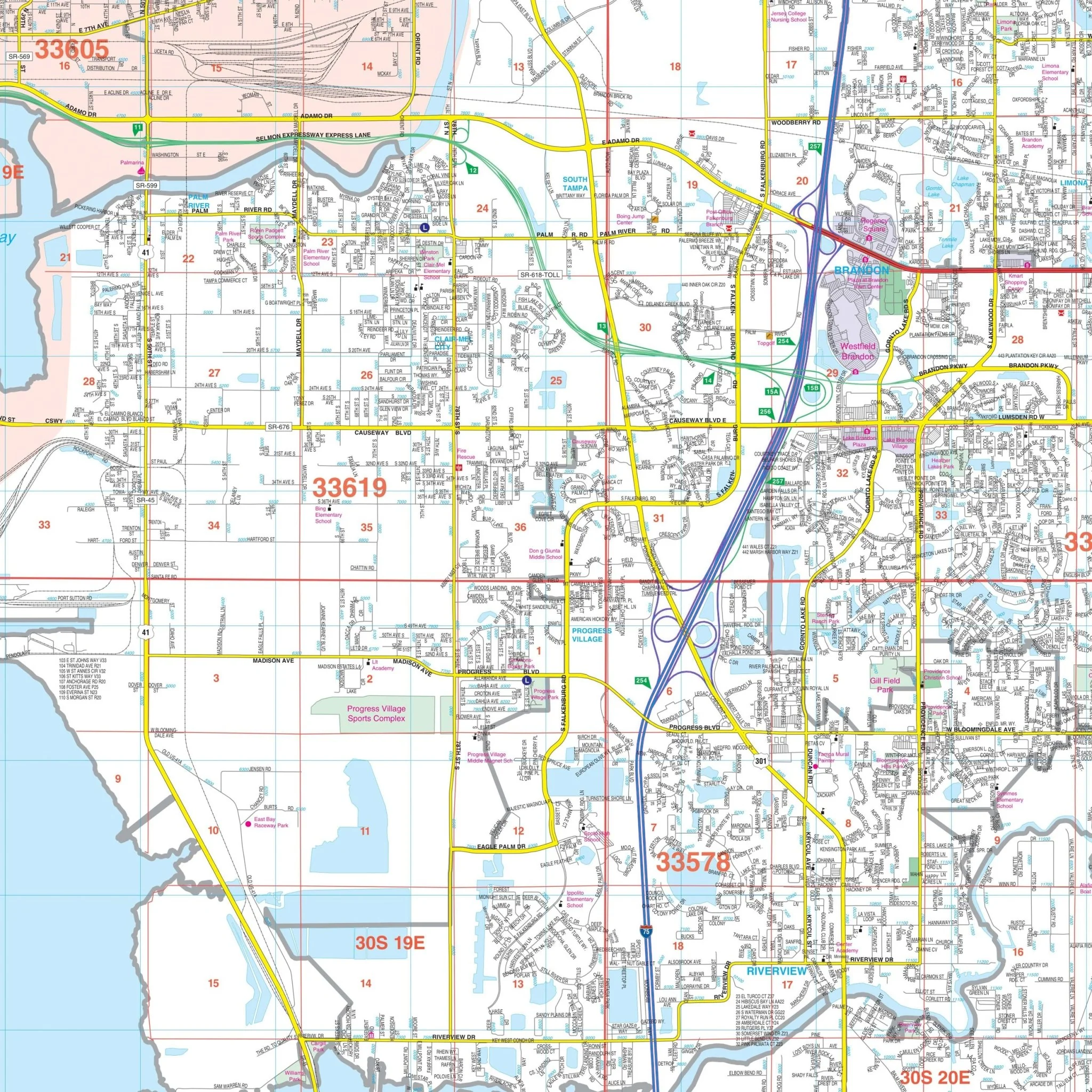
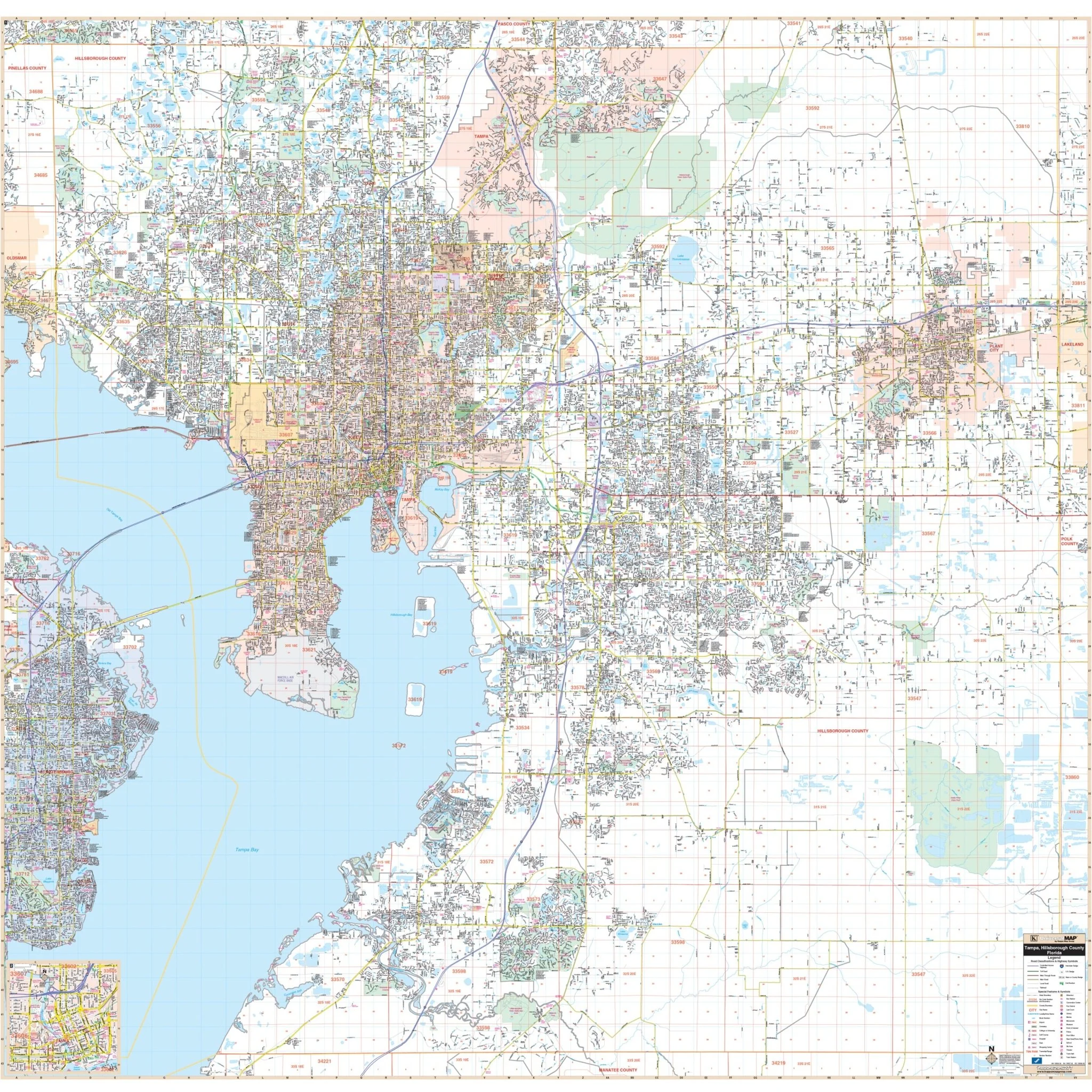
Discover the vibrant city of Tampa and the expansive Hillsborough County with this meticulously detailed wall map. This comprehensive map provides a wealth of information about the area, making it an invaluable resource for residents, travelers, and businesses alike.
Encompassing all of Hillsborough County, the map features the following boundaries:
- North: Extending to the Pasco County line
- South: Reaching the Manatee County line
- East: Stretching to the Polk County line
- West: Covering the area up to I-275 in St. Petersburg
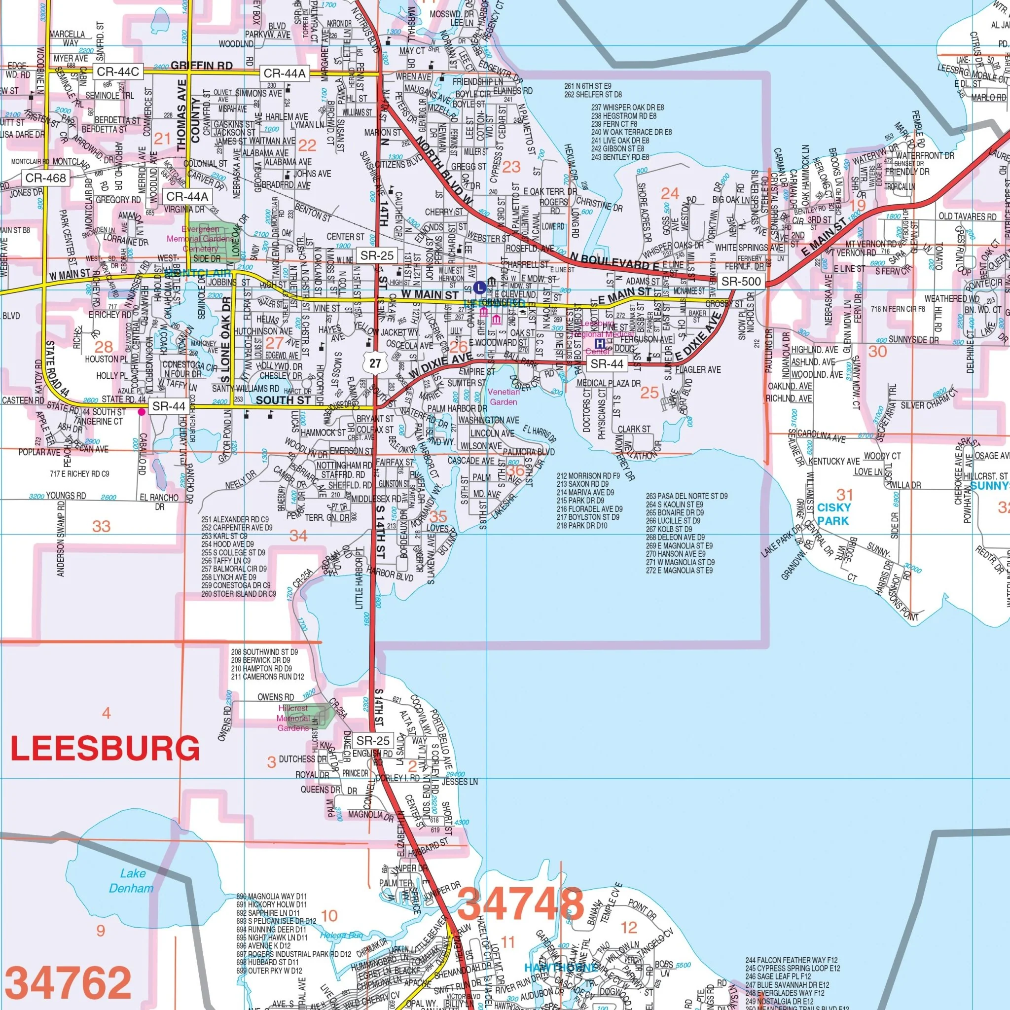
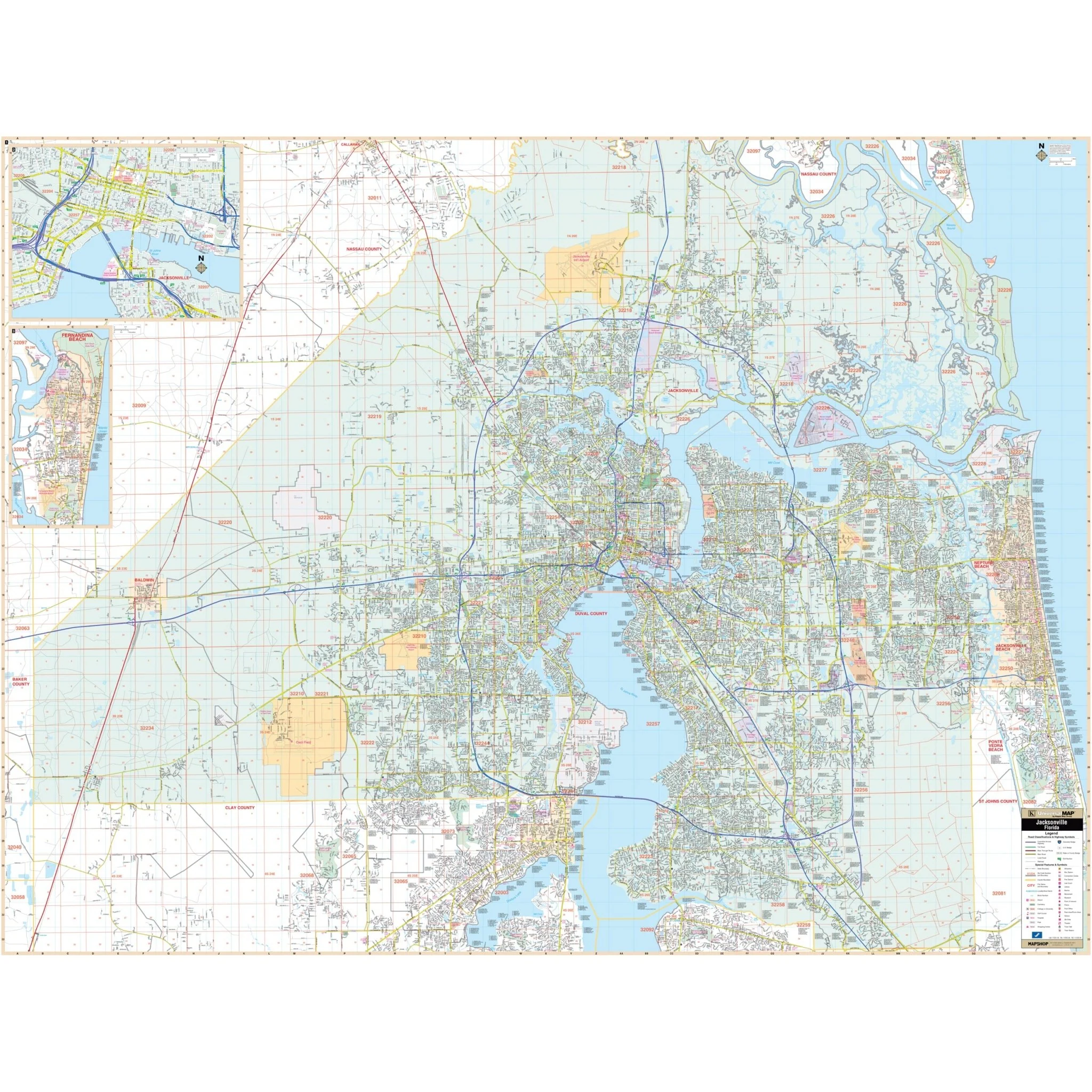
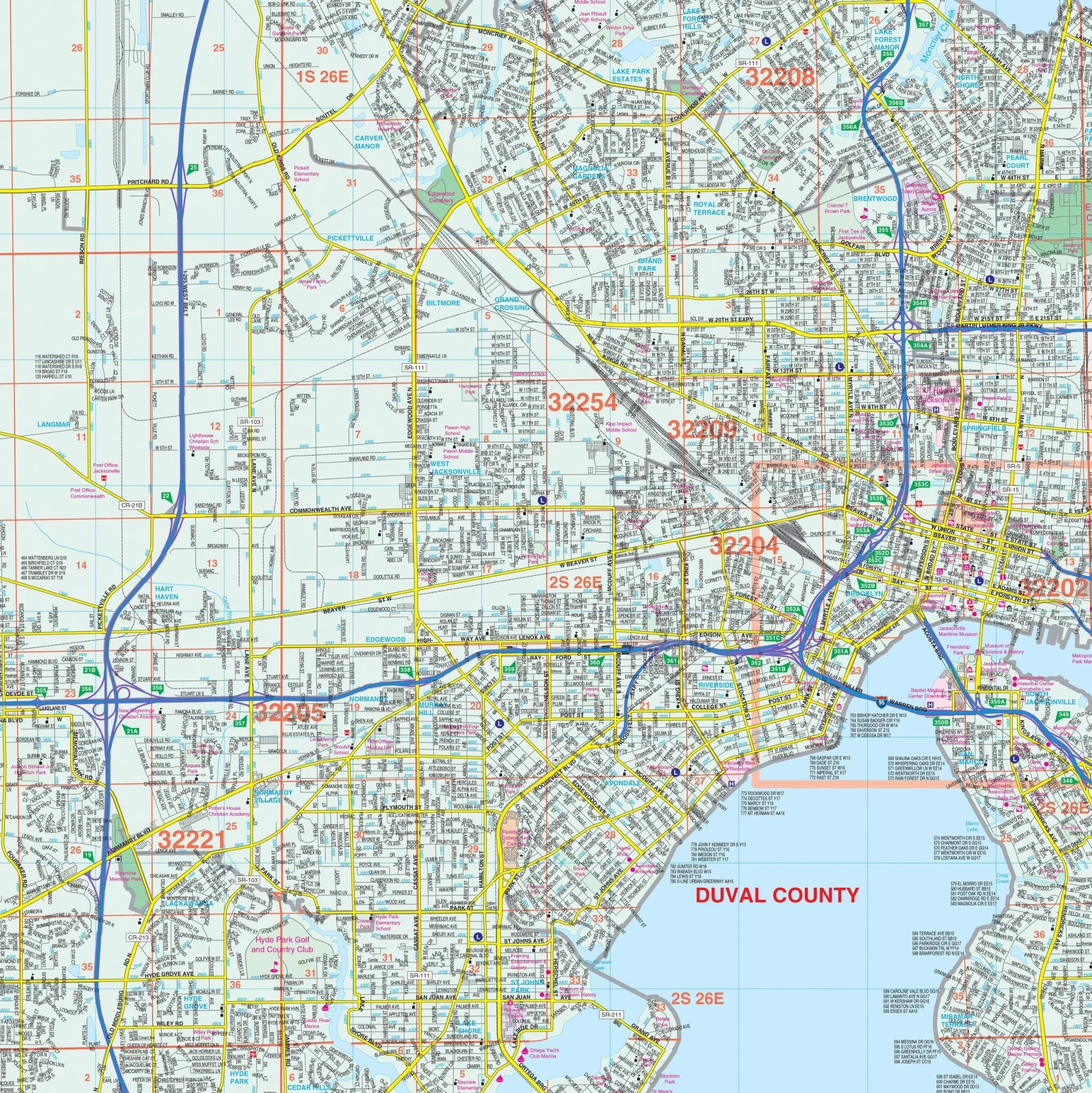
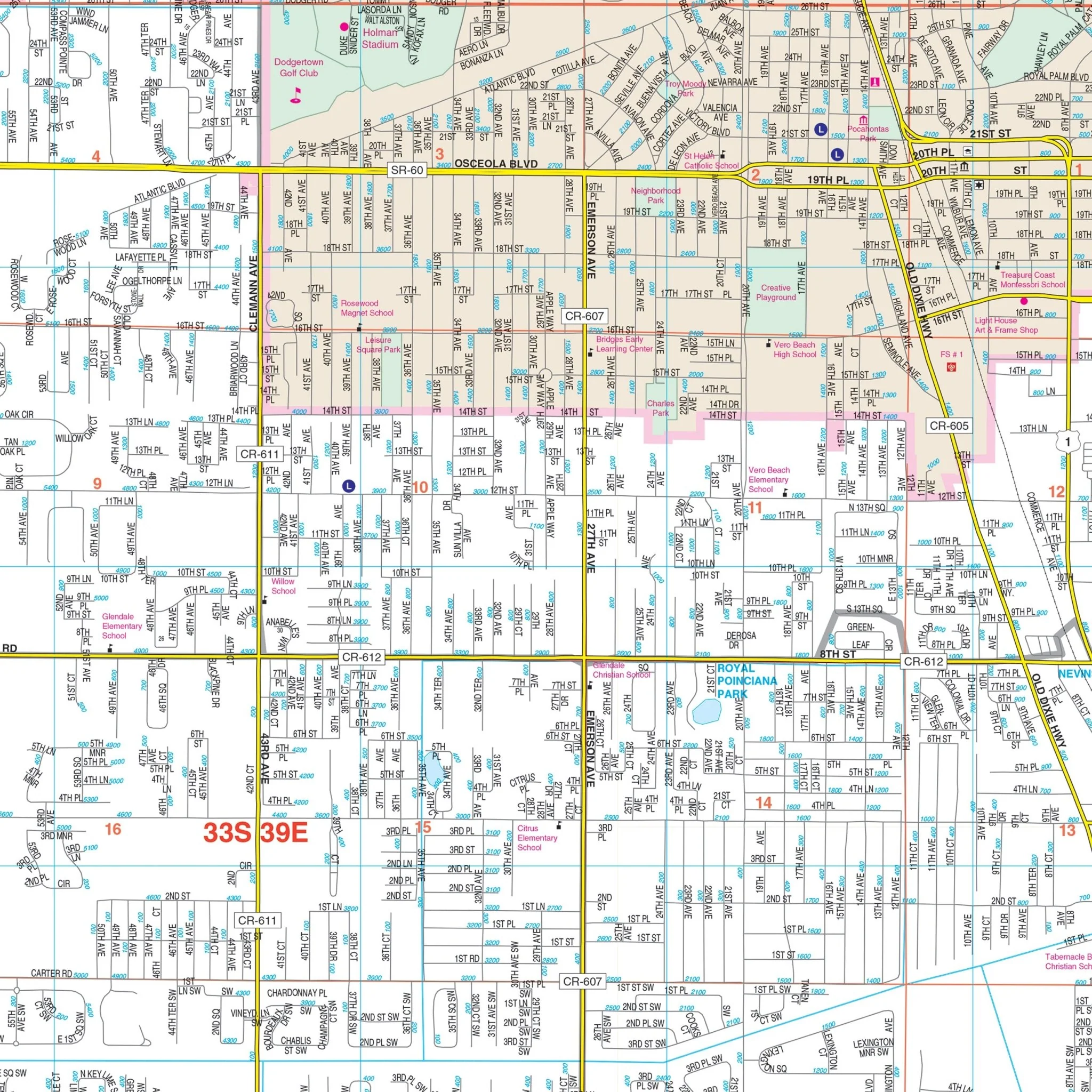
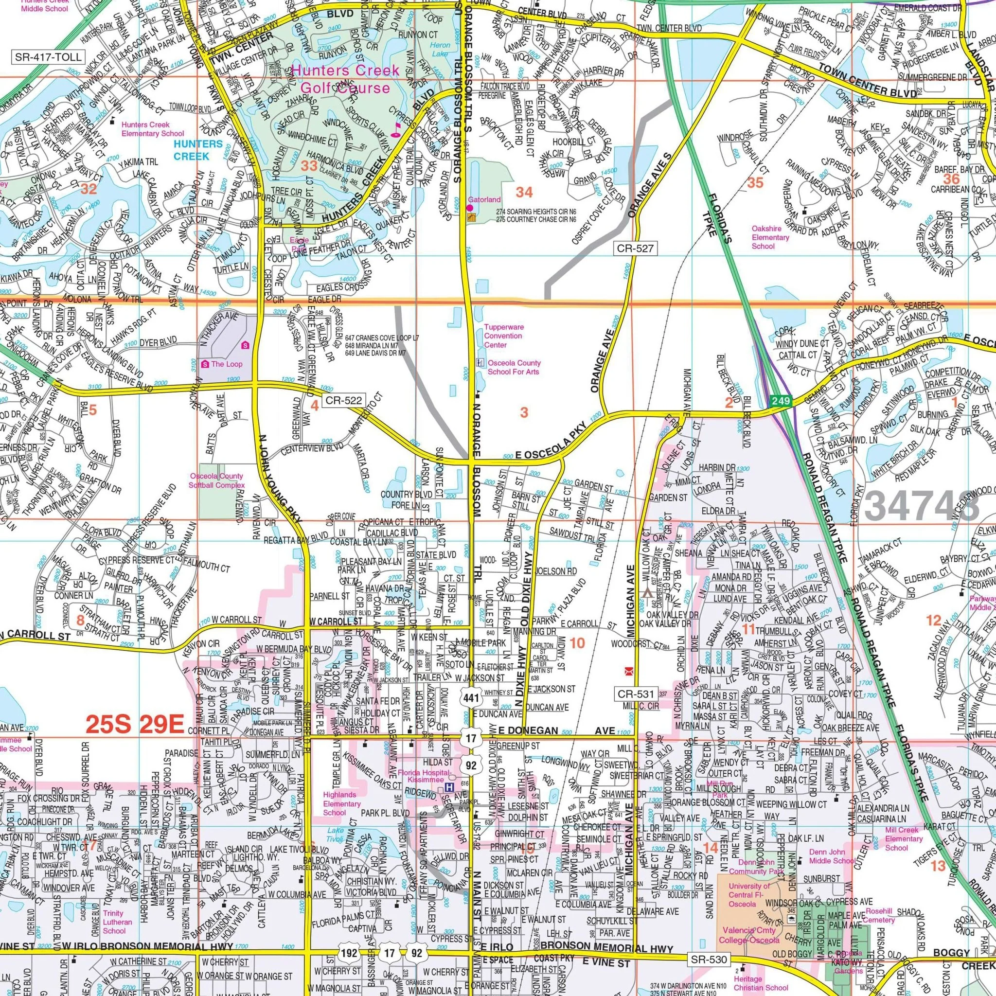
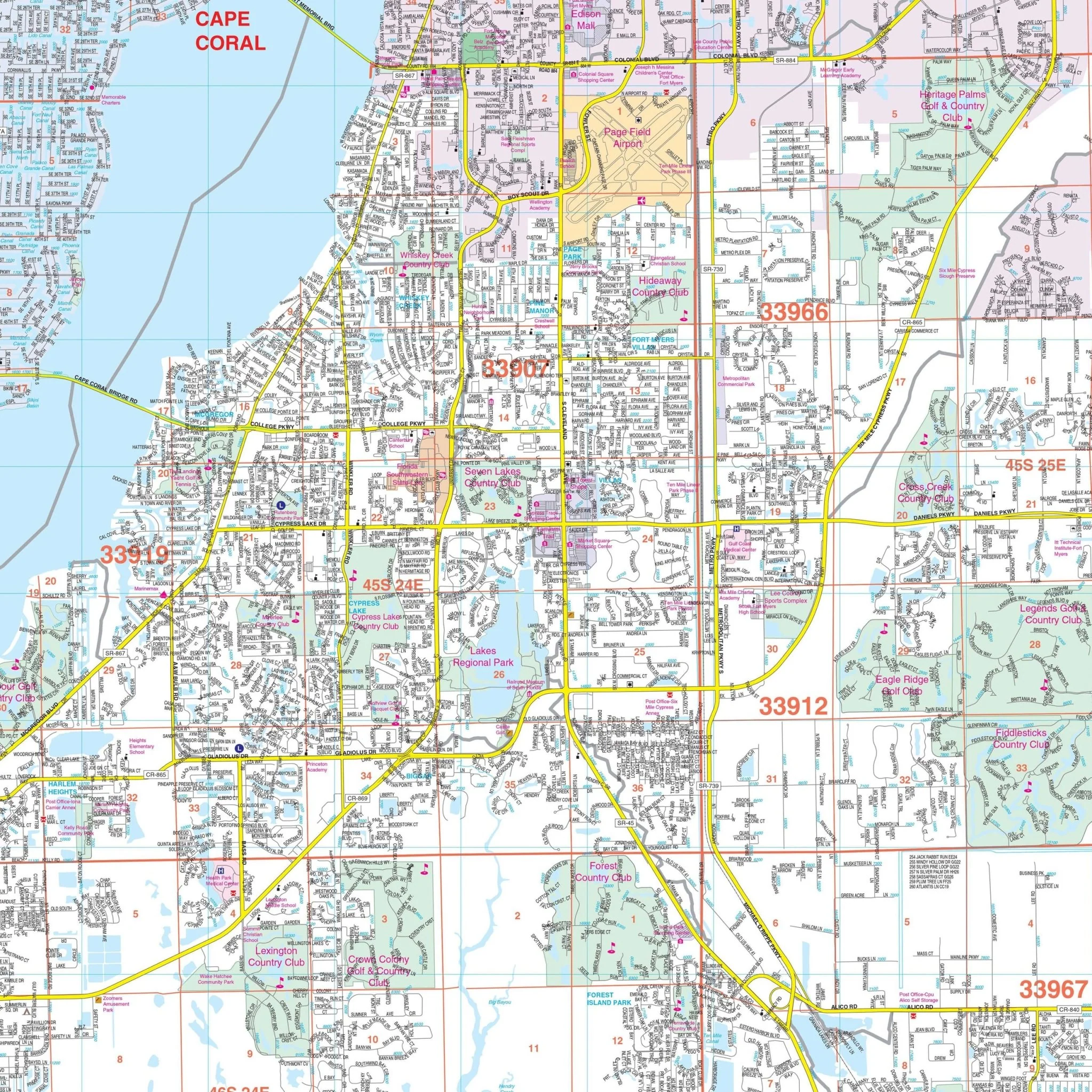
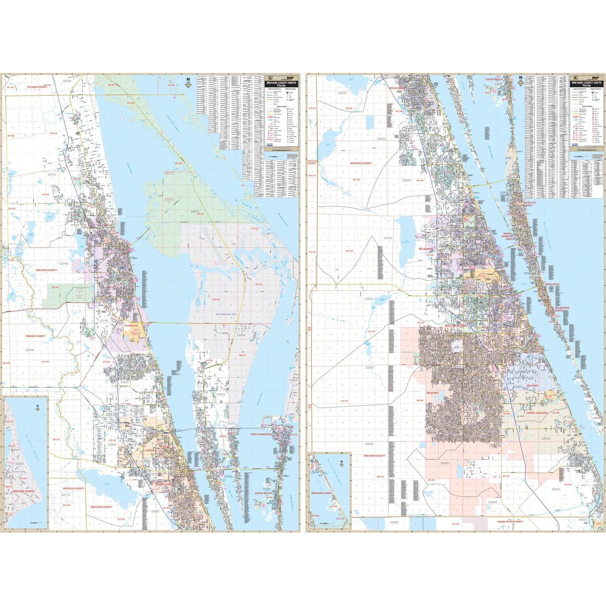
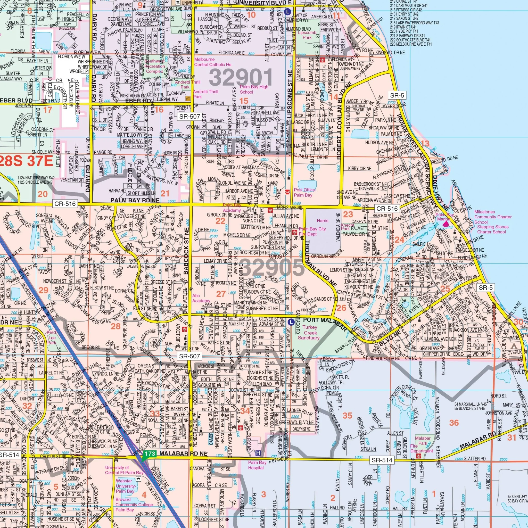
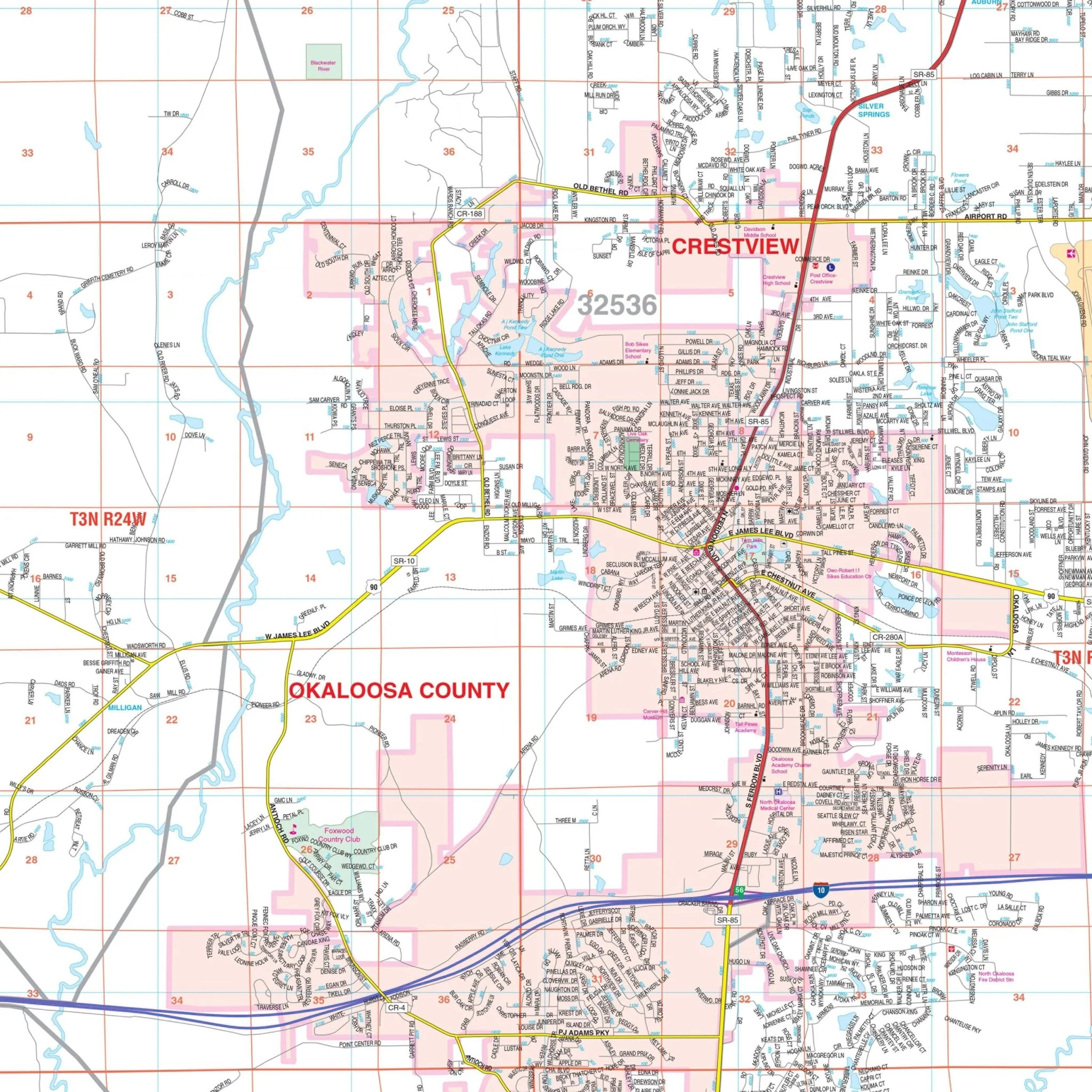
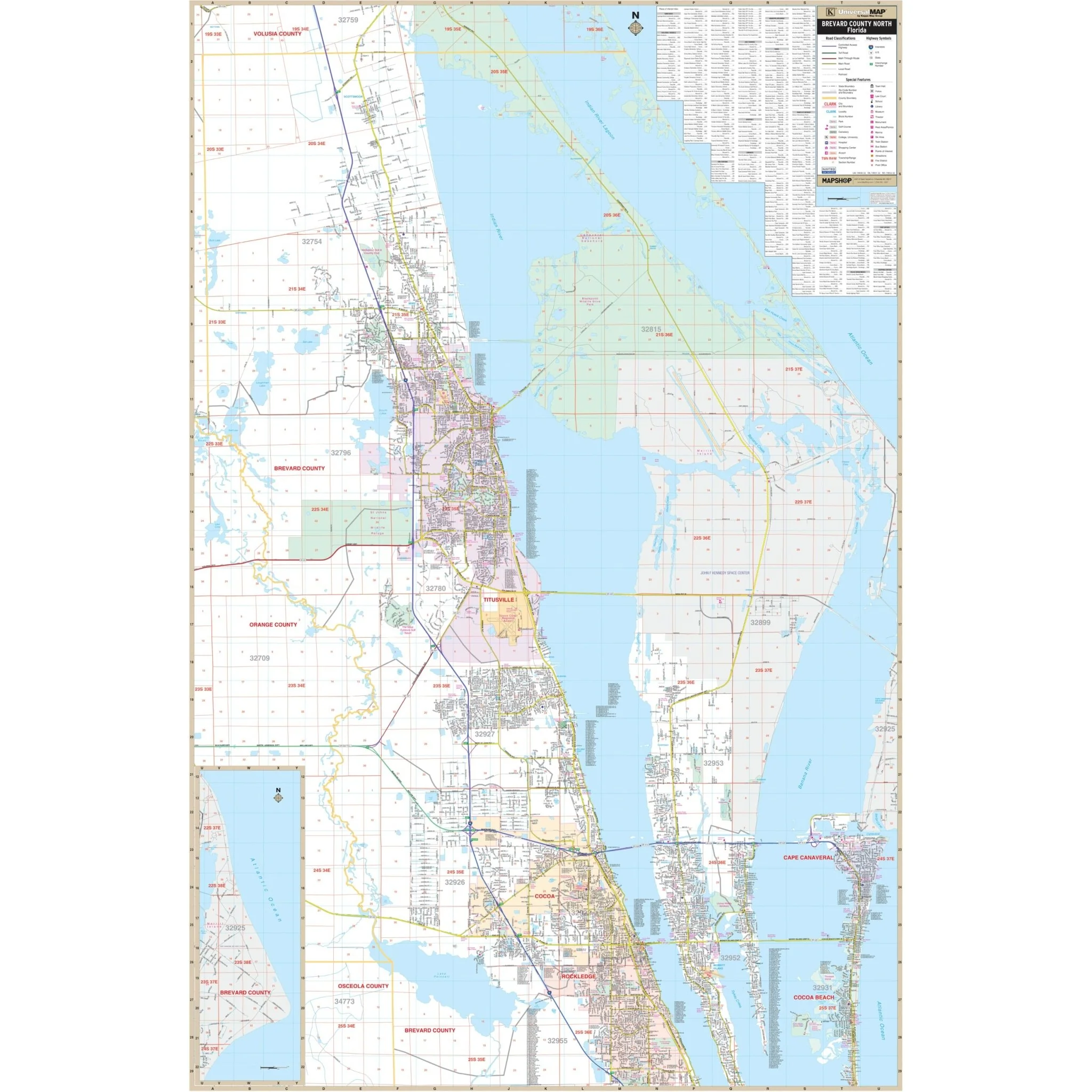
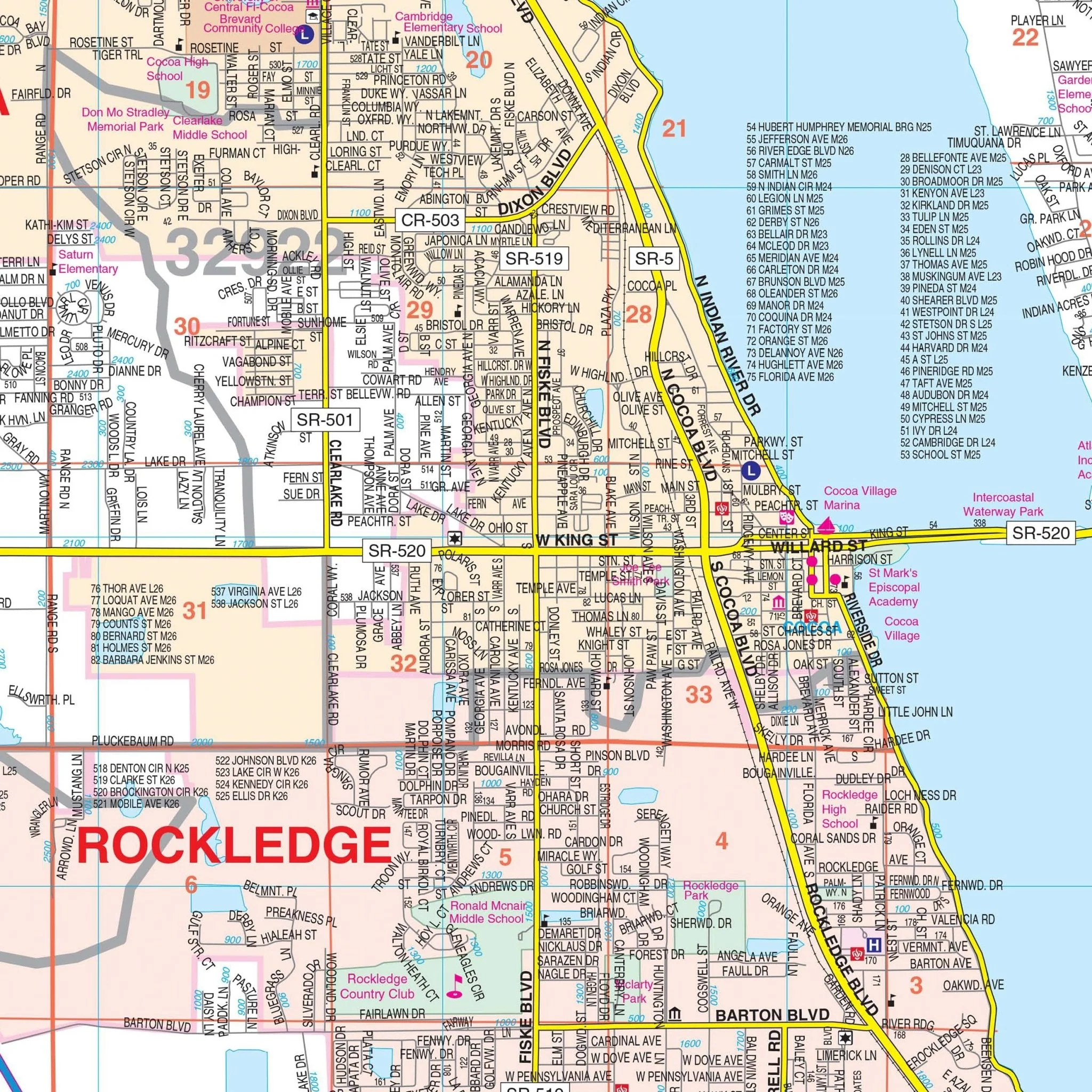
The wall map offers a detailed view of the region, including an inset map of Downtown Tampa. You'll find essential information such as streets, airports, government buildings, post offices, cemeteries, fire and police stations, hospitals, shopping centers, educational institutions, railroads, water features, golf and country clubs, mileage circles, recreational parks, ZIP codes, boundaries, and block numbers.
Whether you're navigating the city streets or planning your adventures throughout Hillsborough County, the Tampa and Hillsborough County wall map provides an accurate and comprehensive overview of the area, making it an indispensable tool for a variety of purposes.
Size: 78" x 76"
Published: 2015
Original: $249.99
-70%$249.99
$75.00Product Information
Product Information
Shipping & Returns
Shipping & Returns
Description
Discover the vibrant city of Tampa and the expansive Hillsborough County with this meticulously detailed wall map. This comprehensive map provides a wealth of information about the area, making it an invaluable resource for residents, travelers, and businesses alike.
Encompassing all of Hillsborough County, the map features the following boundaries:
- North: Extending to the Pasco County line
- South: Reaching the Manatee County line
- East: Stretching to the Polk County line
- West: Covering the area up to I-275 in St. Petersburg
The wall map offers a detailed view of the region, including an inset map of Downtown Tampa. You'll find essential information such as streets, airports, government buildings, post offices, cemeteries, fire and police stations, hospitals, shopping centers, educational institutions, railroads, water features, golf and country clubs, mileage circles, recreational parks, ZIP codes, boundaries, and block numbers.
Whether you're navigating the city streets or planning your adventures throughout Hillsborough County, the Tampa and Hillsborough County wall map provides an accurate and comprehensive overview of the area, making it an indispensable tool for a variety of purposes.
Size: 78" x 76"
Published: 2015