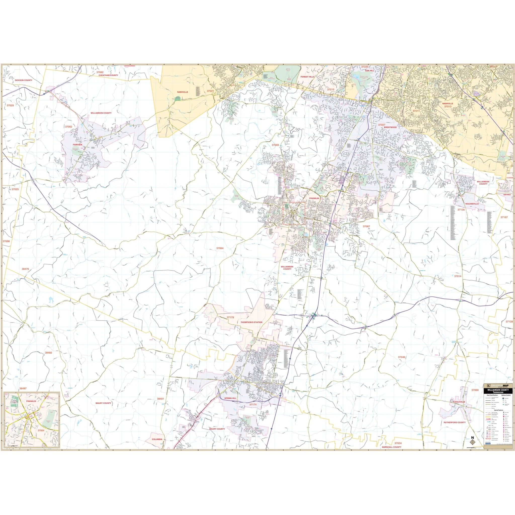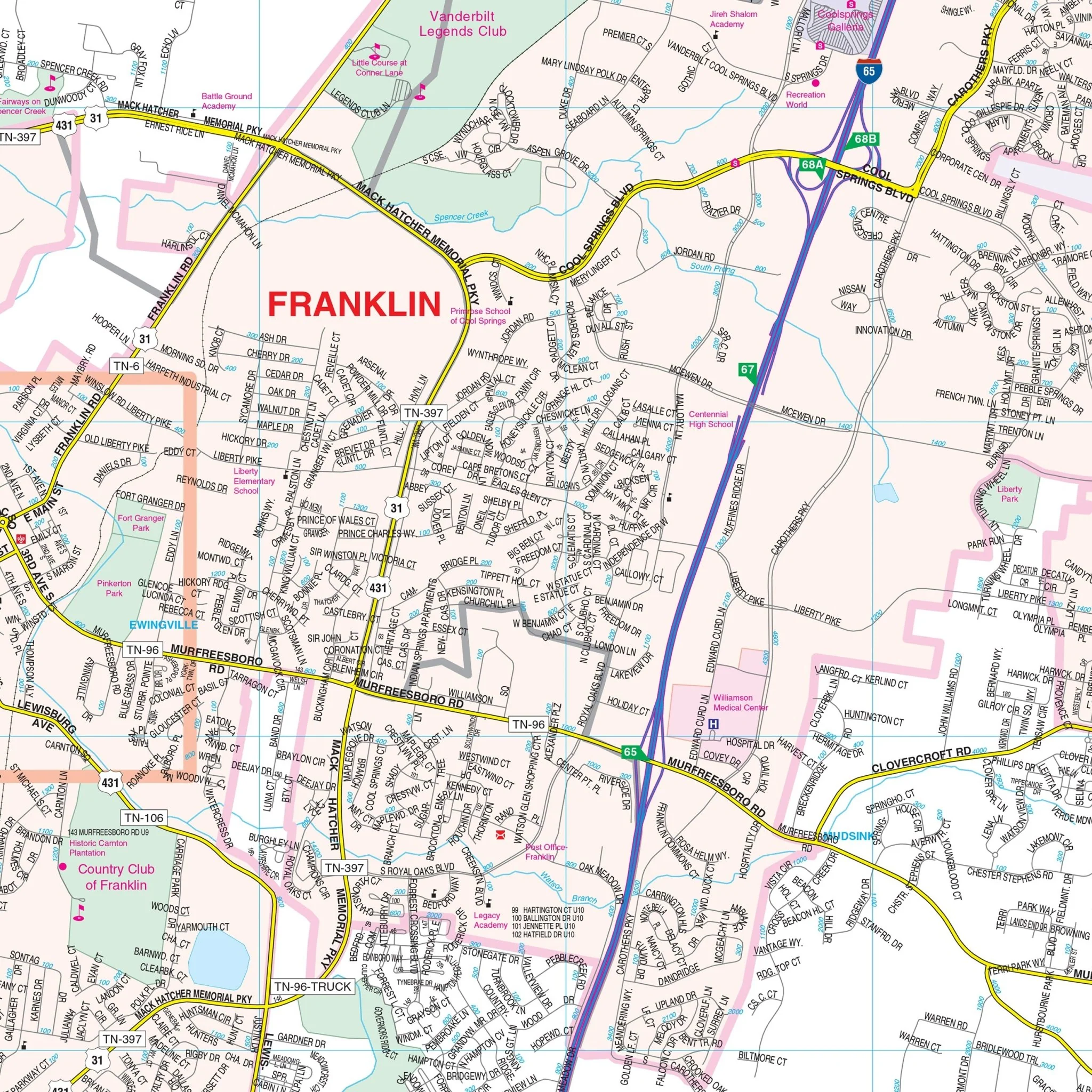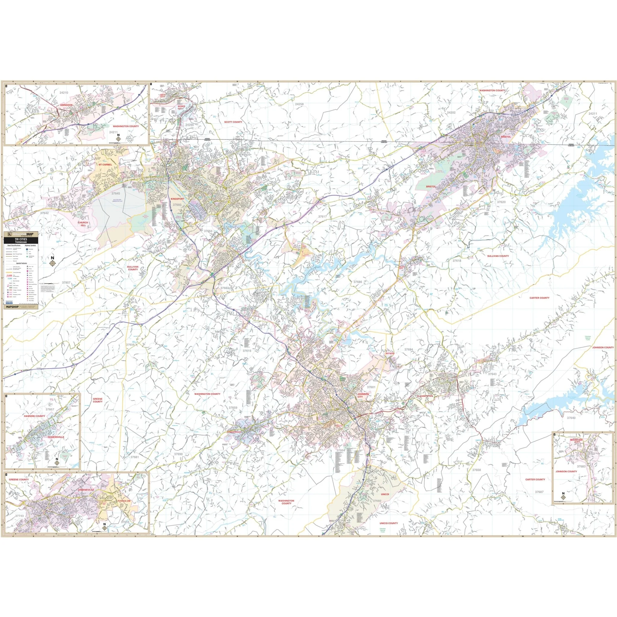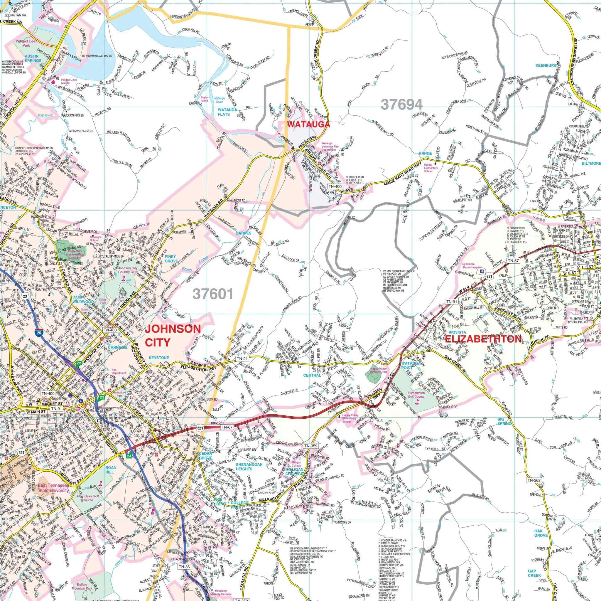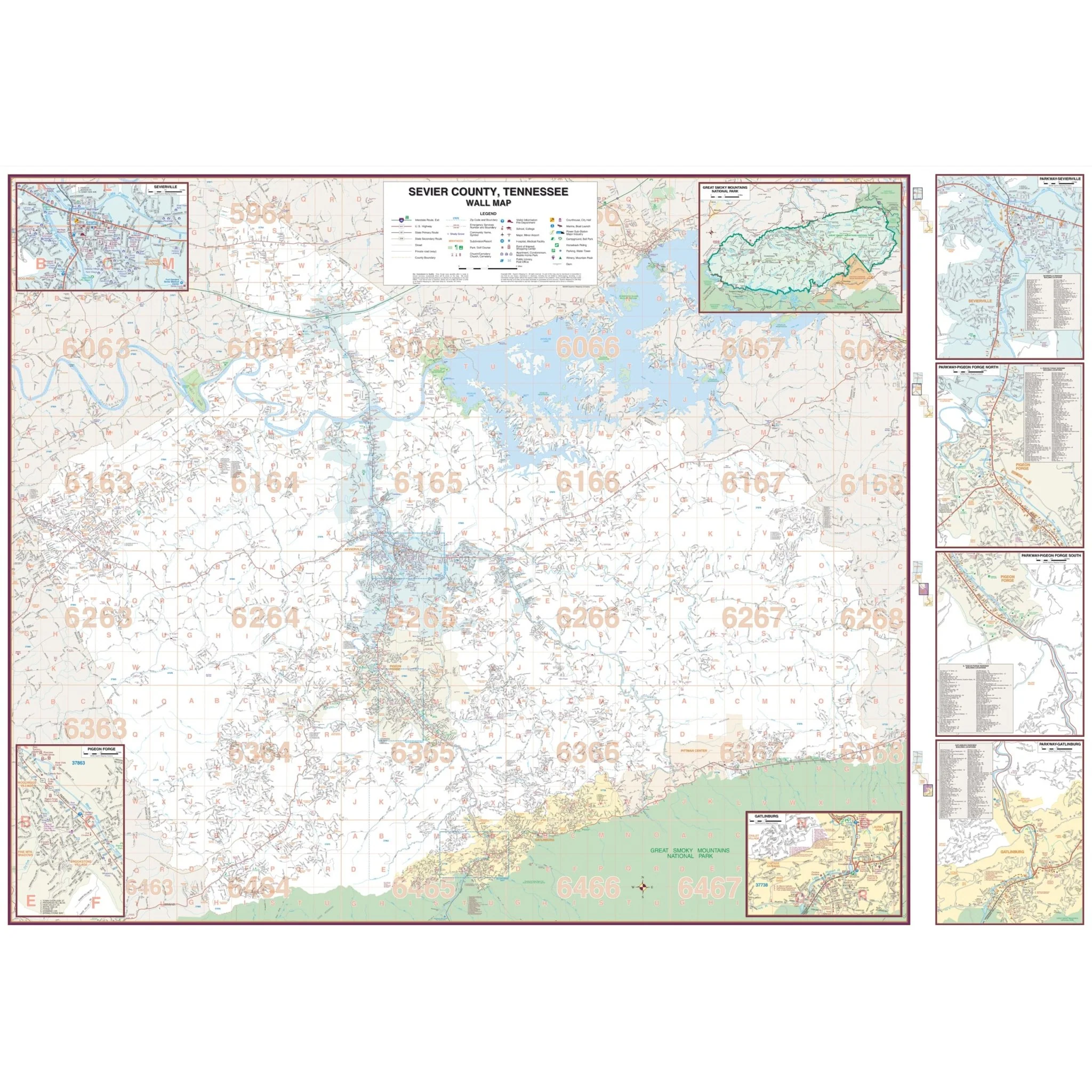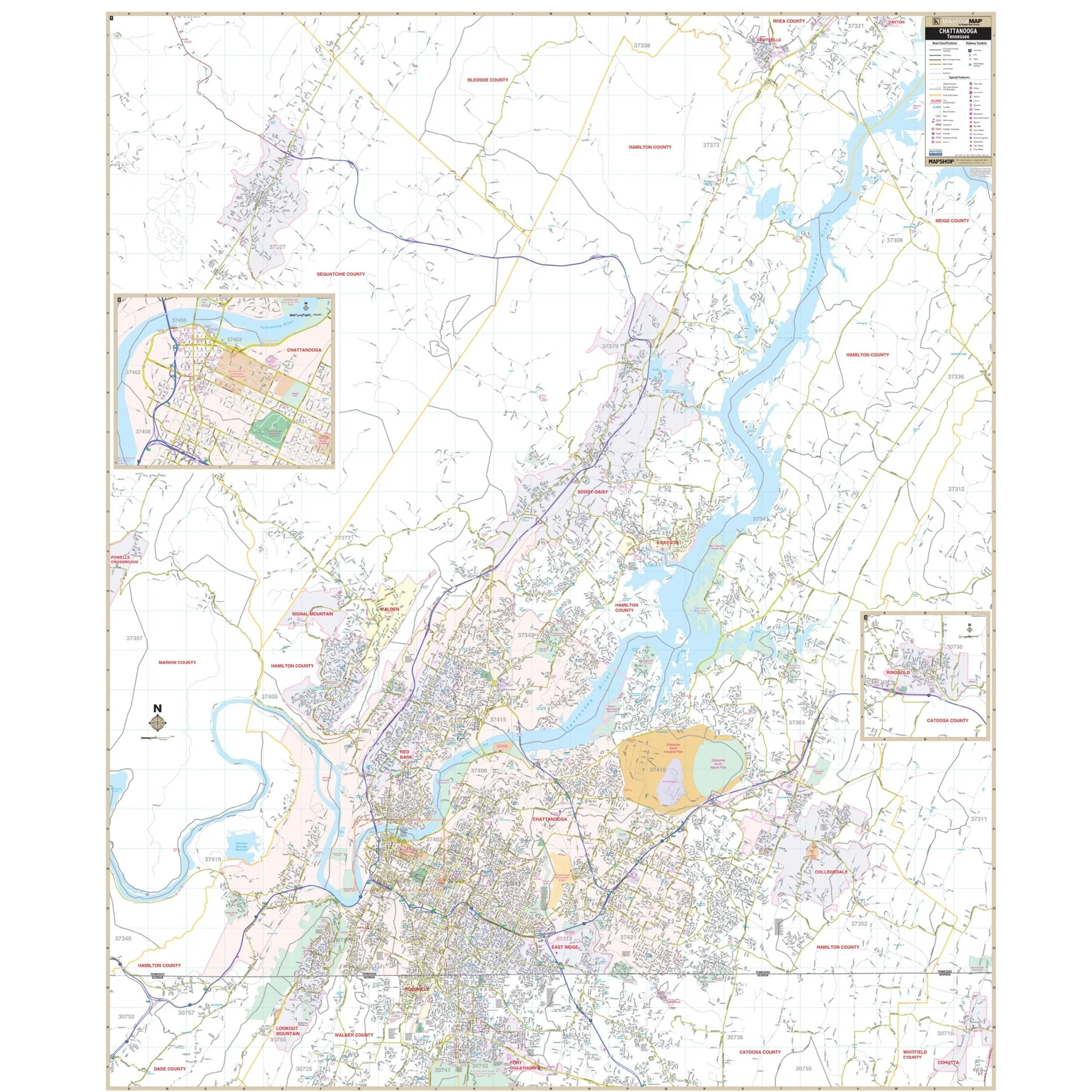


Chattanooga & Hamilton County, TN Wall Map
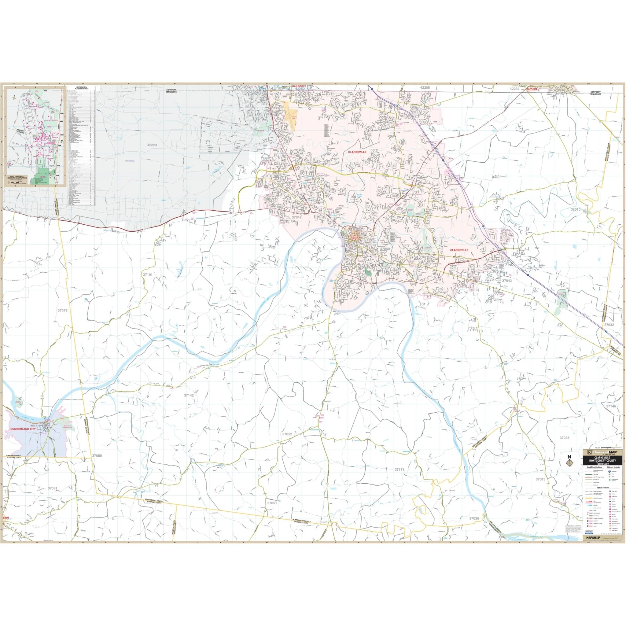
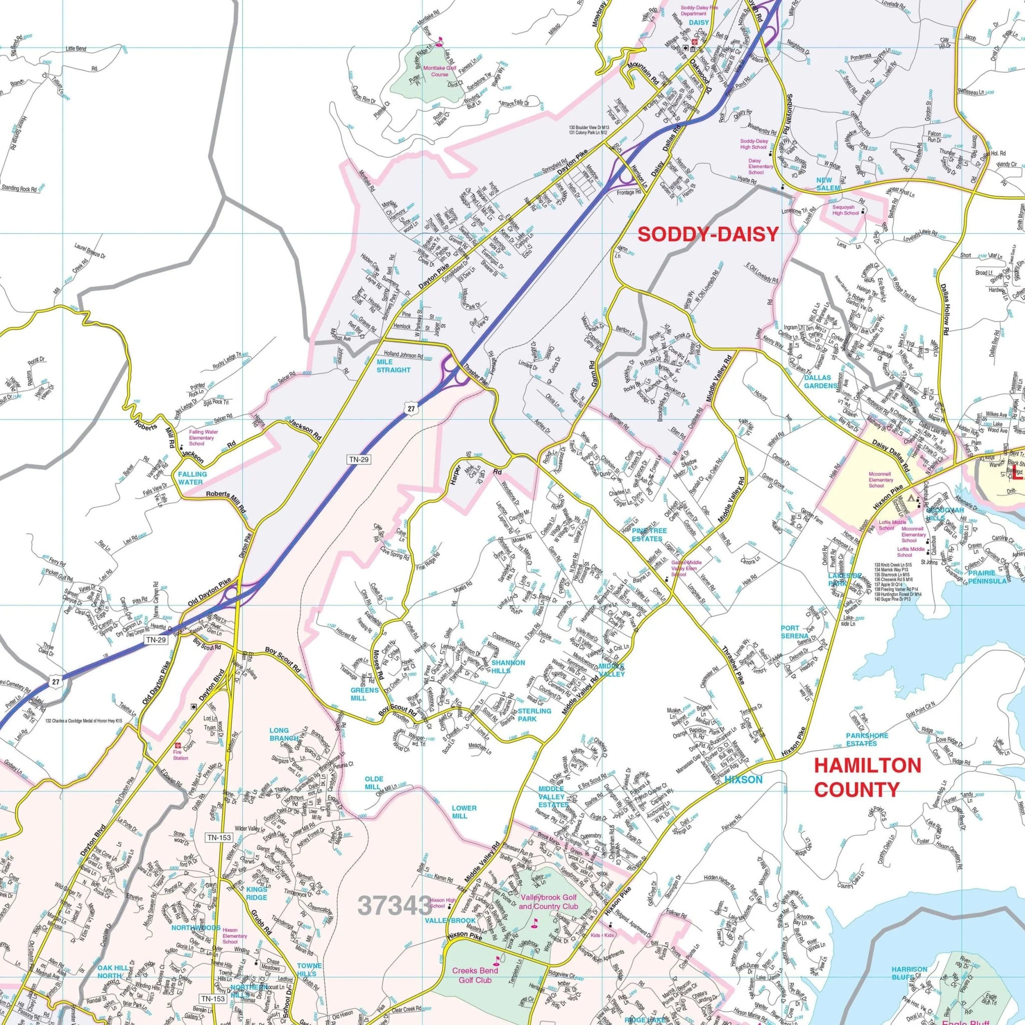
The Chattanooga and Hamilton Co, TN Wall Map, with adjacent areas, provides comprehensive street detail covering all of Hamilton County. The area of coverage includes the following boundaries:
- North: to the northern tip of the Hamilton County line
- South: to Fort Oglethorpe and Rossville, GA
- East: to Collegedale and the Bradley County line
- West: to the Hamilton County line and all of Signal Mountain
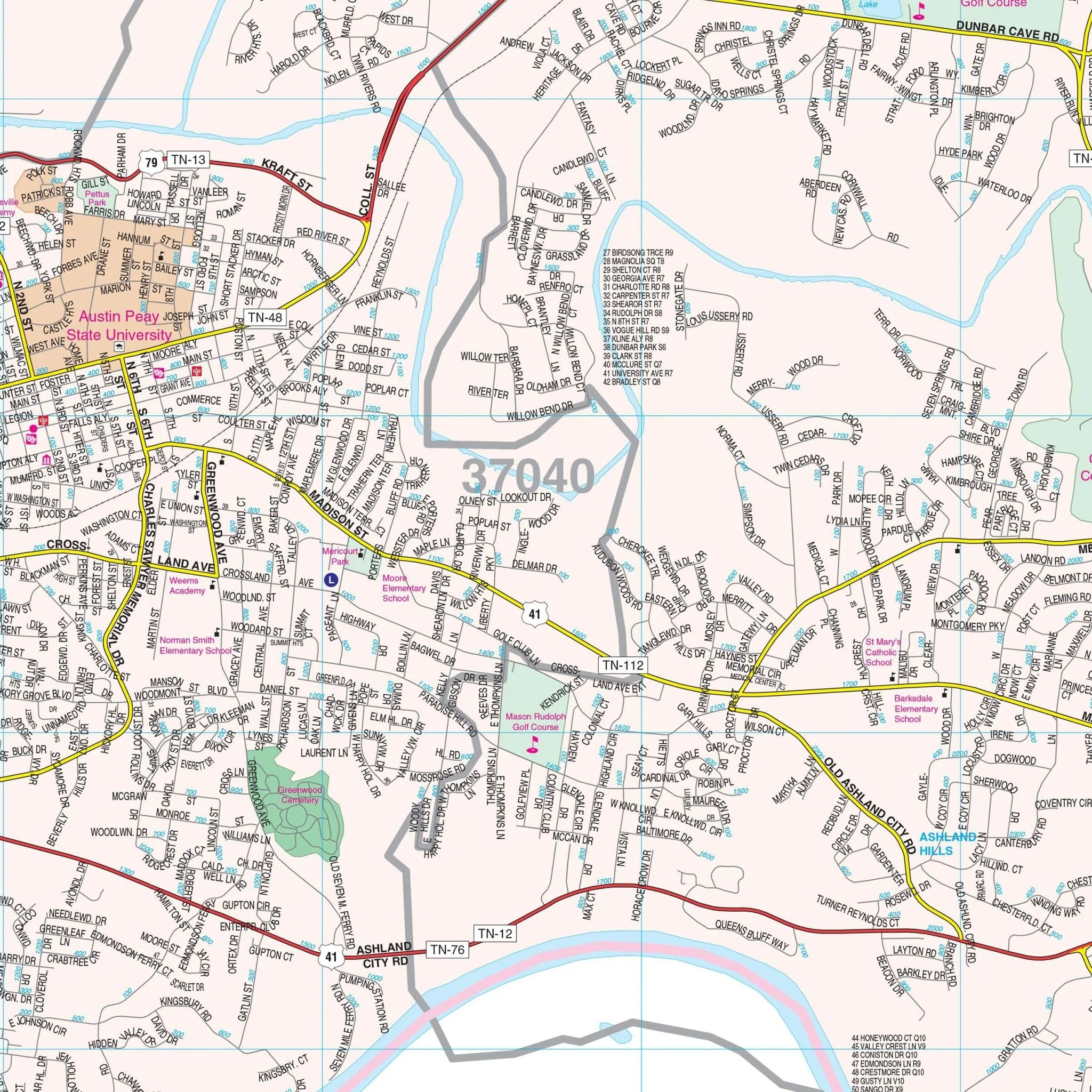
The Chattanooga and Hamilton Co, TN Wall Map also includes inset maps of Downtown Chattanooga and Ringgold, GA. Details and features depicted on the map encompass a wide range of information essential for residents and visitors, including airports, block numbers, cemeteries, city limits (color-coded), educational institutions, fire and police stations, golf and country clubs, government buildings, hospitals, libraries, points of interest, post offices, railroads, recreational parks, shopping centers, streets and highways, water features, and ZIP code boundaries. This comprehensive map provides valuable information about Chattanooga and Hamilton County, TN, and its surrounding areas.
Size: 57" x 68.5"
Published: 2013
Original: $149.99
-70%$149.99
$45.00Product Information
Product Information
Shipping & Returns
Shipping & Returns
Description
The Chattanooga and Hamilton Co, TN Wall Map, with adjacent areas, provides comprehensive street detail covering all of Hamilton County. The area of coverage includes the following boundaries:
- North: to the northern tip of the Hamilton County line
- South: to Fort Oglethorpe and Rossville, GA
- East: to Collegedale and the Bradley County line
- West: to the Hamilton County line and all of Signal Mountain
The Chattanooga and Hamilton Co, TN Wall Map also includes inset maps of Downtown Chattanooga and Ringgold, GA. Details and features depicted on the map encompass a wide range of information essential for residents and visitors, including airports, block numbers, cemeteries, city limits (color-coded), educational institutions, fire and police stations, golf and country clubs, government buildings, hospitals, libraries, points of interest, post offices, railroads, recreational parks, shopping centers, streets and highways, water features, and ZIP code boundaries. This comprehensive map provides valuable information about Chattanooga and Hamilton County, TN, and its surrounding areas.
Size: 57" x 68.5"
Published: 2013