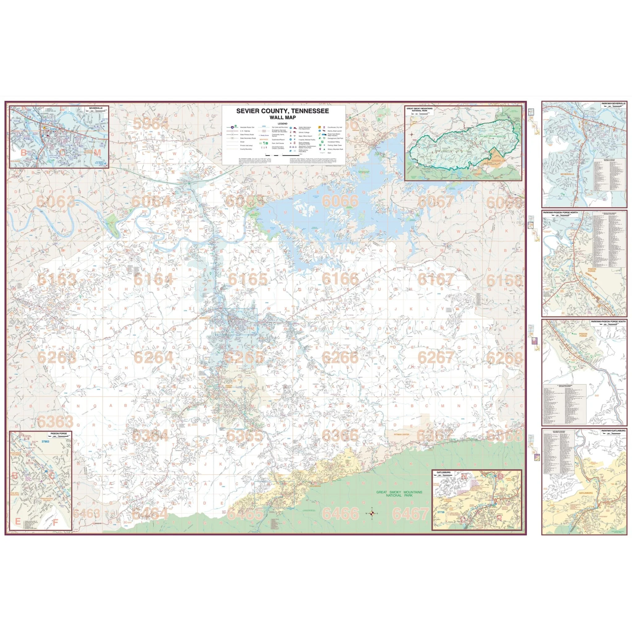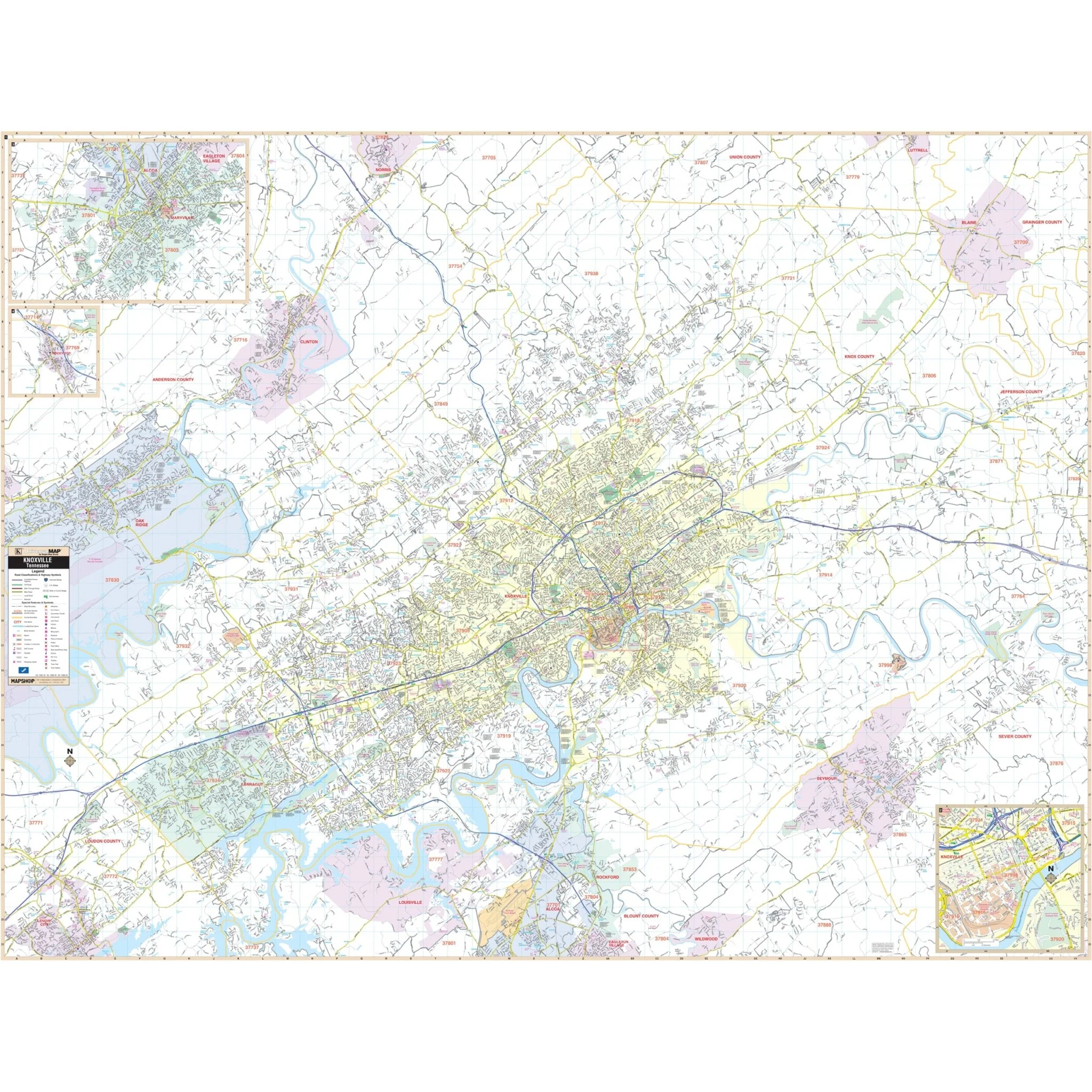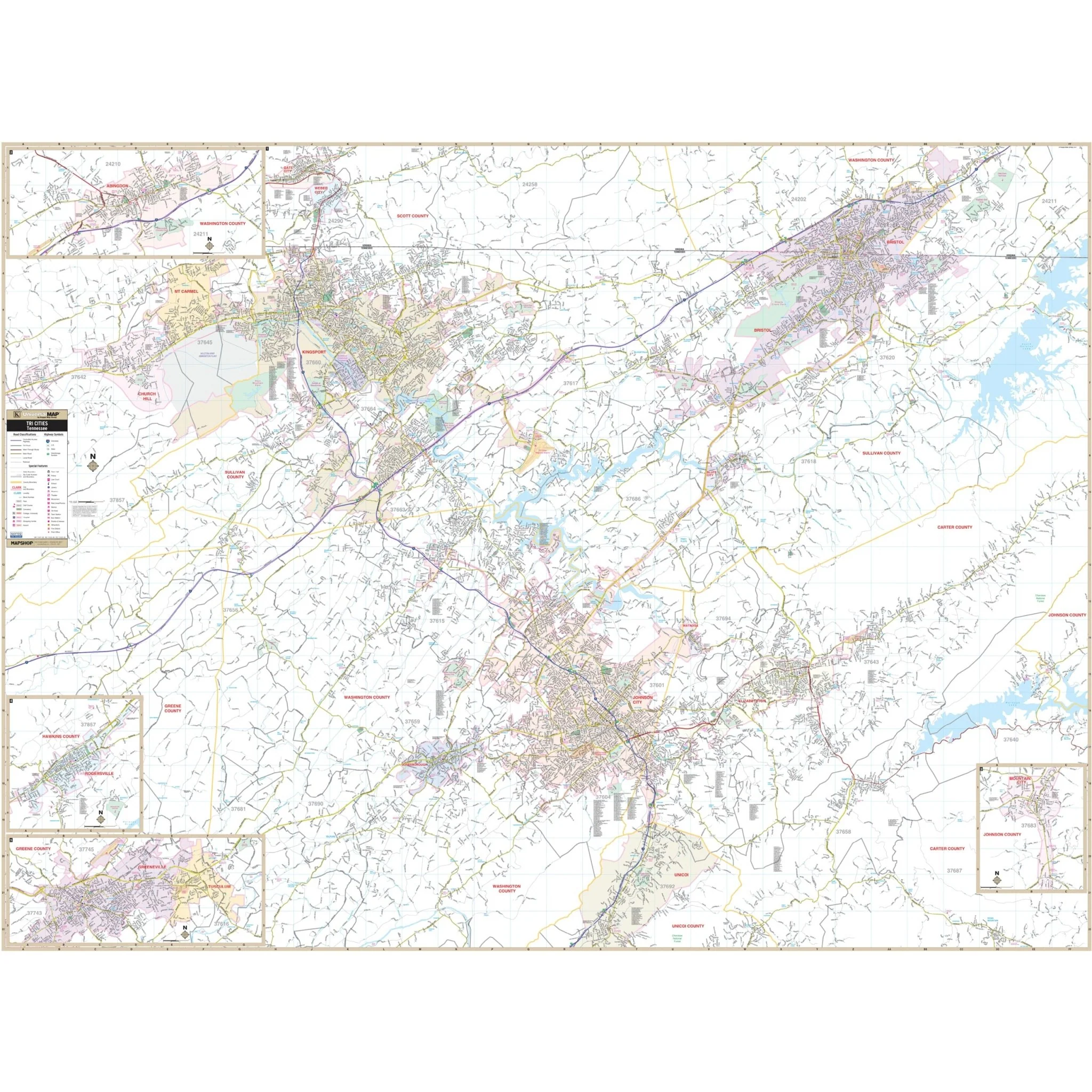


Tri-Cities, TN Wall Map
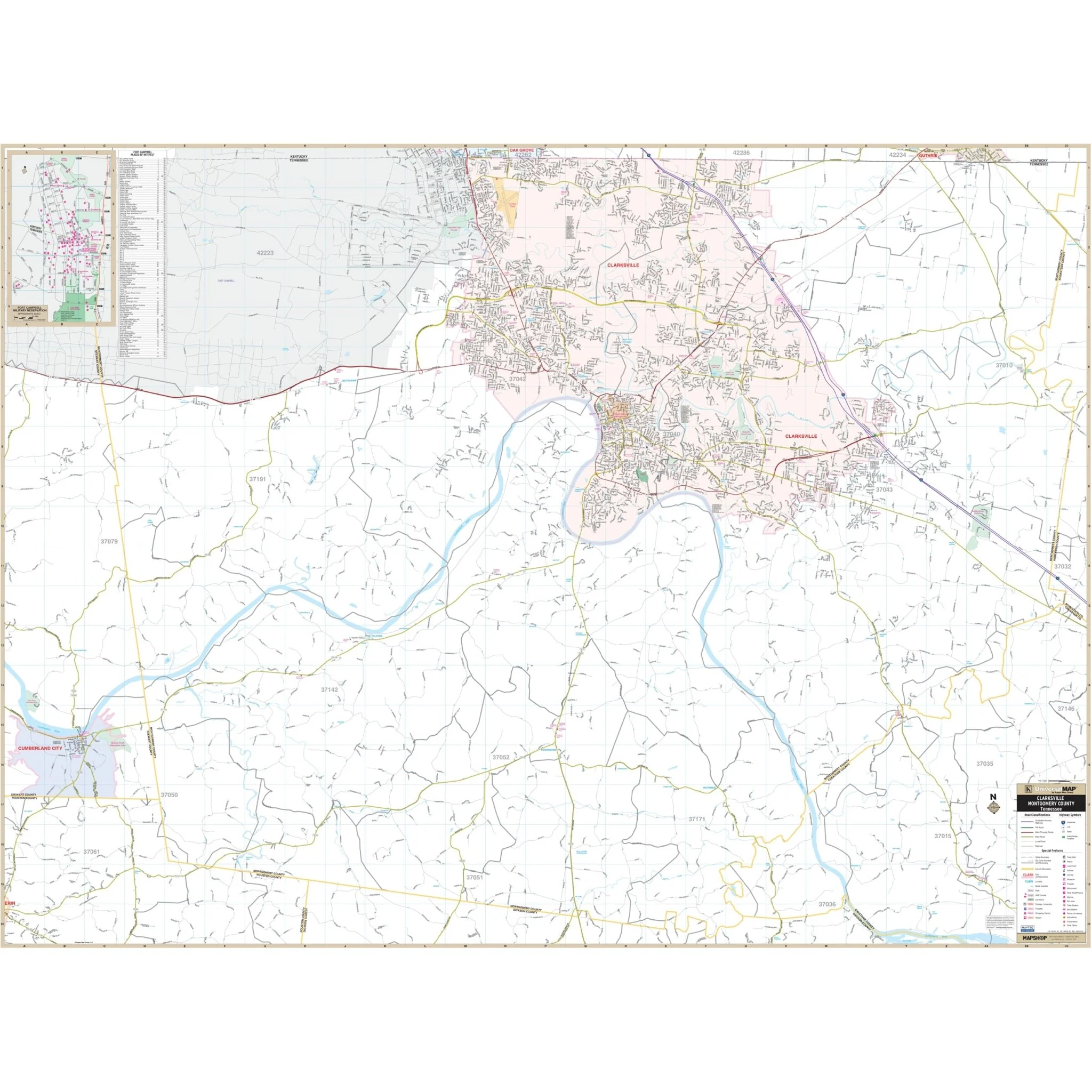
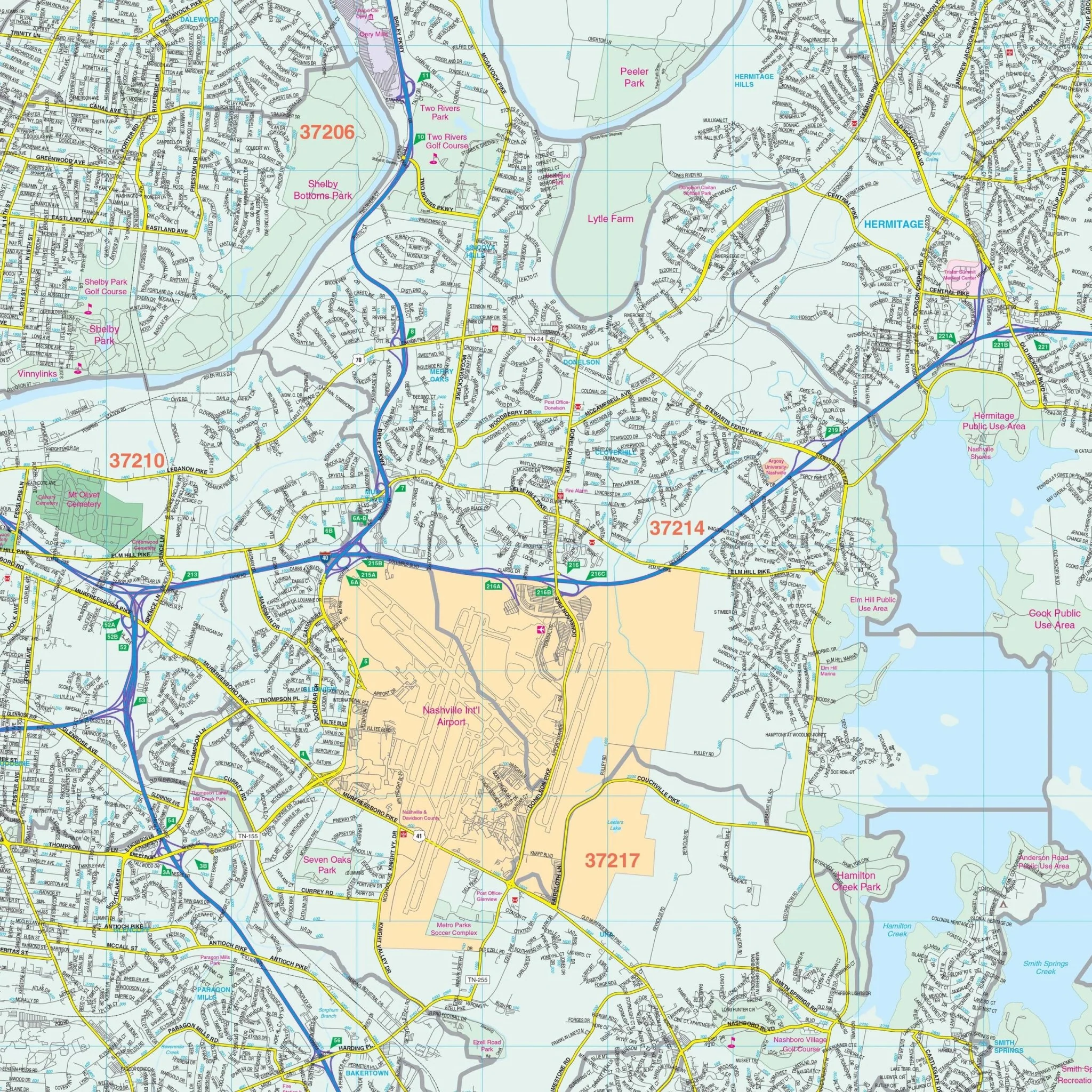
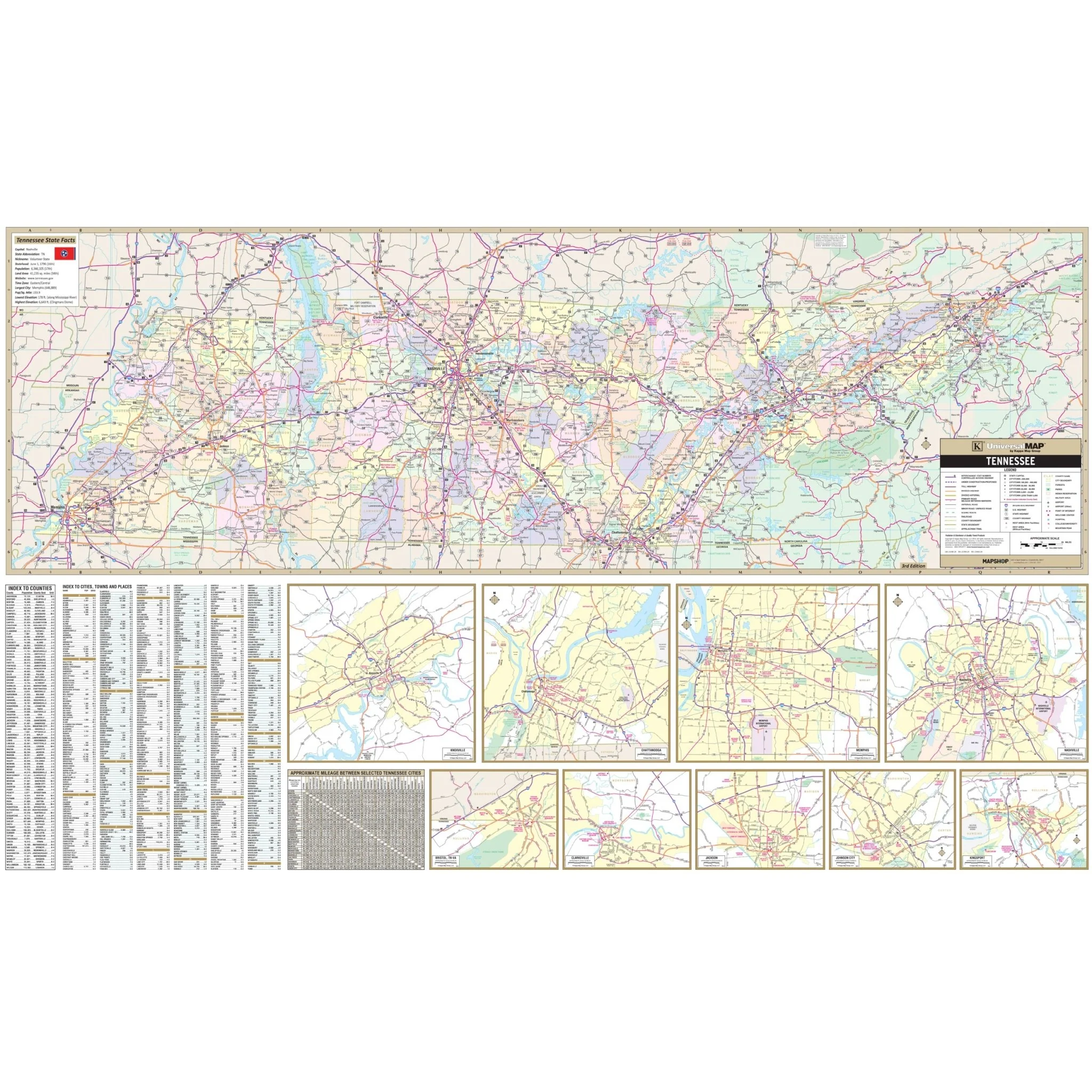
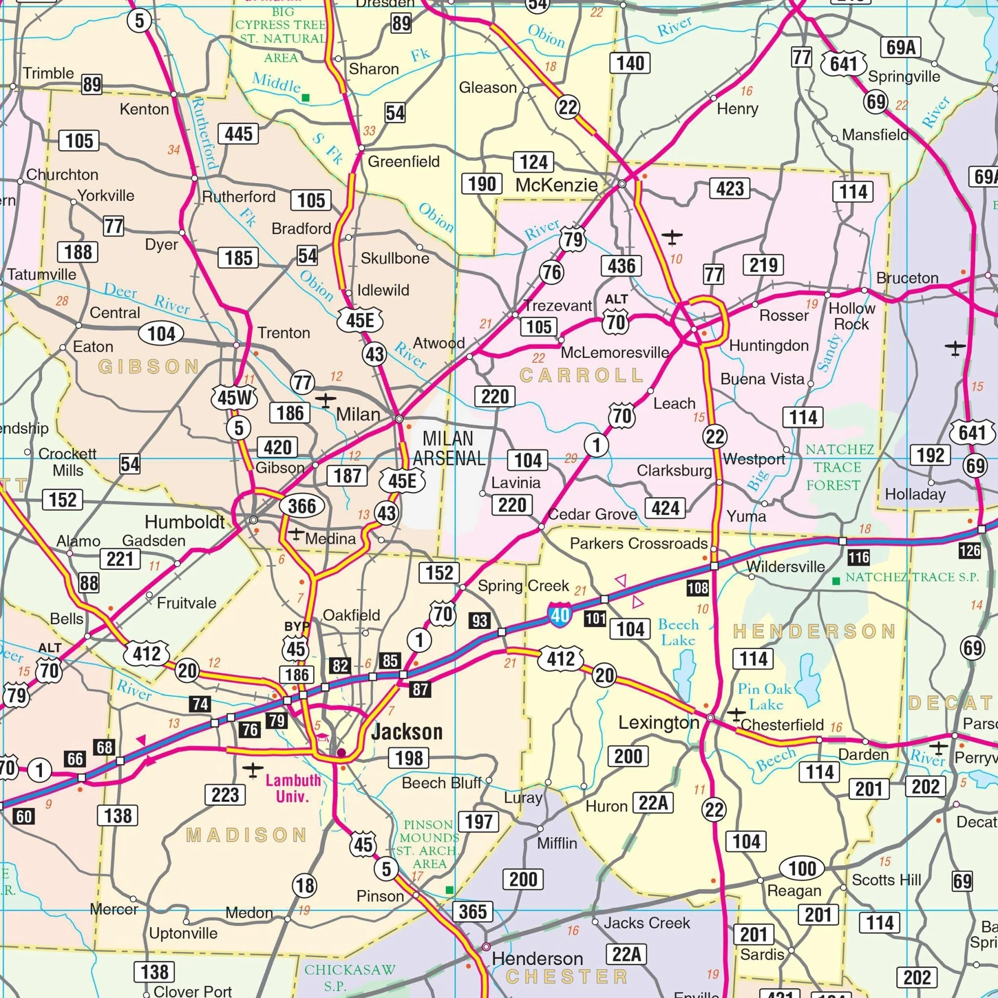
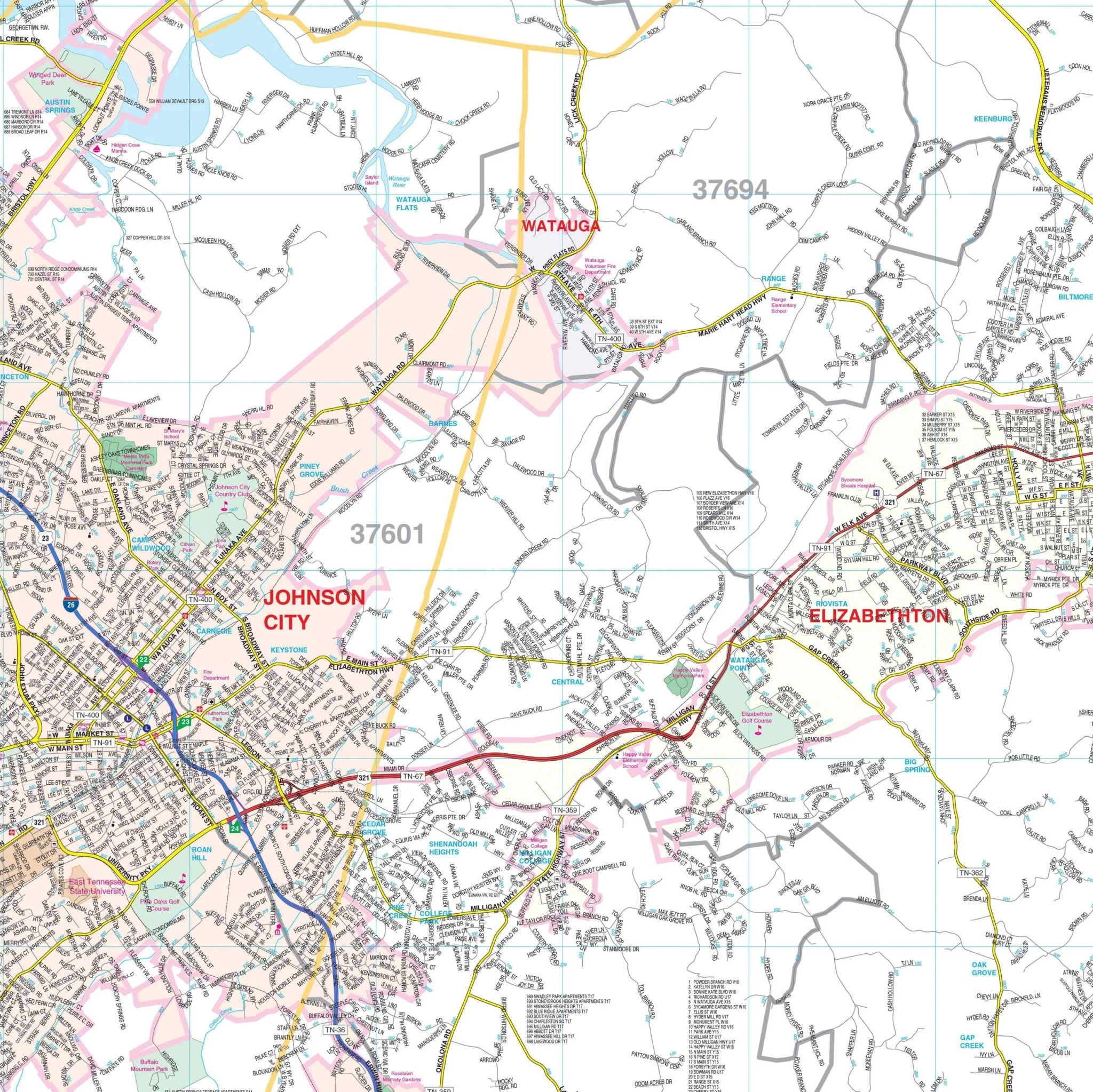
The Tri-Cities Tennessee wall map of Bristol, Kingsport, and Johnson City, TN, along with adjacent areas, is now available from Kappa Map Group! The map is plotted in complete street detail at a scale of 1" = 3,000 feet. The coverage area includes the following geographical boundaries:
- North: past the Virginia State line to cover all of Bristol, VA
- South: to Unicoi
- East: to Watauga Lake and South Holston, Holston Lake
- West: to include all of Church Hill in Hawkins County
The map also includes insets of Mountain City, Greenville, Tusculum, and Rogersville, TN, as well as Abingdon, VA. Details featured on the map encompass all streets and highways, government buildings, airports, water features, fire and police stations, hospitals, shopping centers, educational institutions, railroads, recreational parks, golf and country clubs, post offices, city limits (color coded), cemeteries, block numbers, ZIP codes and boundaries, as well as points of interest.
Size: 75" x 56"
Published: 2013
Original: $149.99
-70%$149.99
$45.00Product Information
Product Information
Shipping & Returns
Shipping & Returns
Description
The Tri-Cities Tennessee wall map of Bristol, Kingsport, and Johnson City, TN, along with adjacent areas, is now available from Kappa Map Group! The map is plotted in complete street detail at a scale of 1" = 3,000 feet. The coverage area includes the following geographical boundaries:
- North: past the Virginia State line to cover all of Bristol, VA
- South: to Unicoi
- East: to Watauga Lake and South Holston, Holston Lake
- West: to include all of Church Hill in Hawkins County
The map also includes insets of Mountain City, Greenville, Tusculum, and Rogersville, TN, as well as Abingdon, VA. Details featured on the map encompass all streets and highways, government buildings, airports, water features, fire and police stations, hospitals, shopping centers, educational institutions, railroads, recreational parks, golf and country clubs, post offices, city limits (color coded), cemeteries, block numbers, ZIP codes and boundaries, as well as points of interest.
Size: 75" x 56"
Published: 2013