


Tennessee State Wall Map
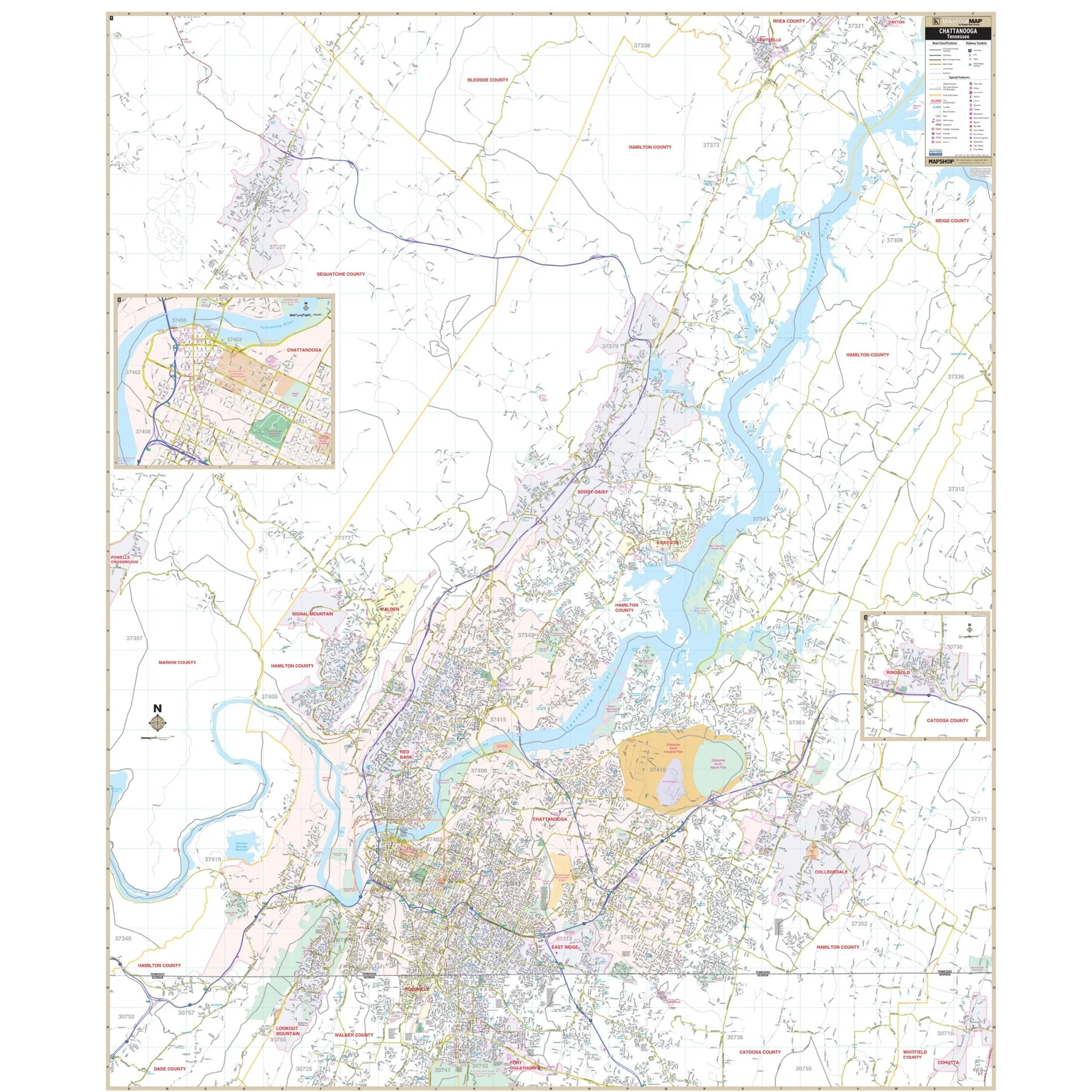
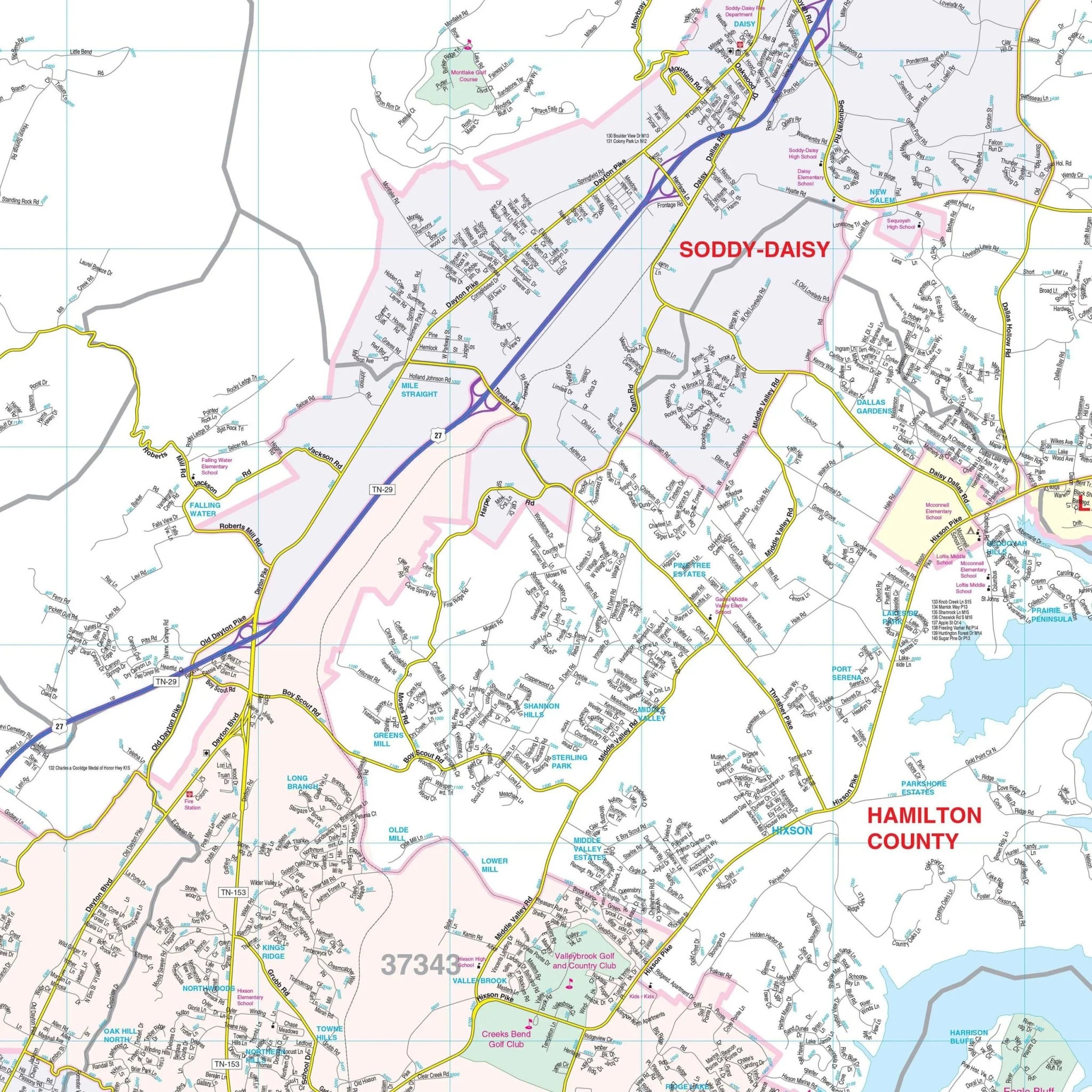
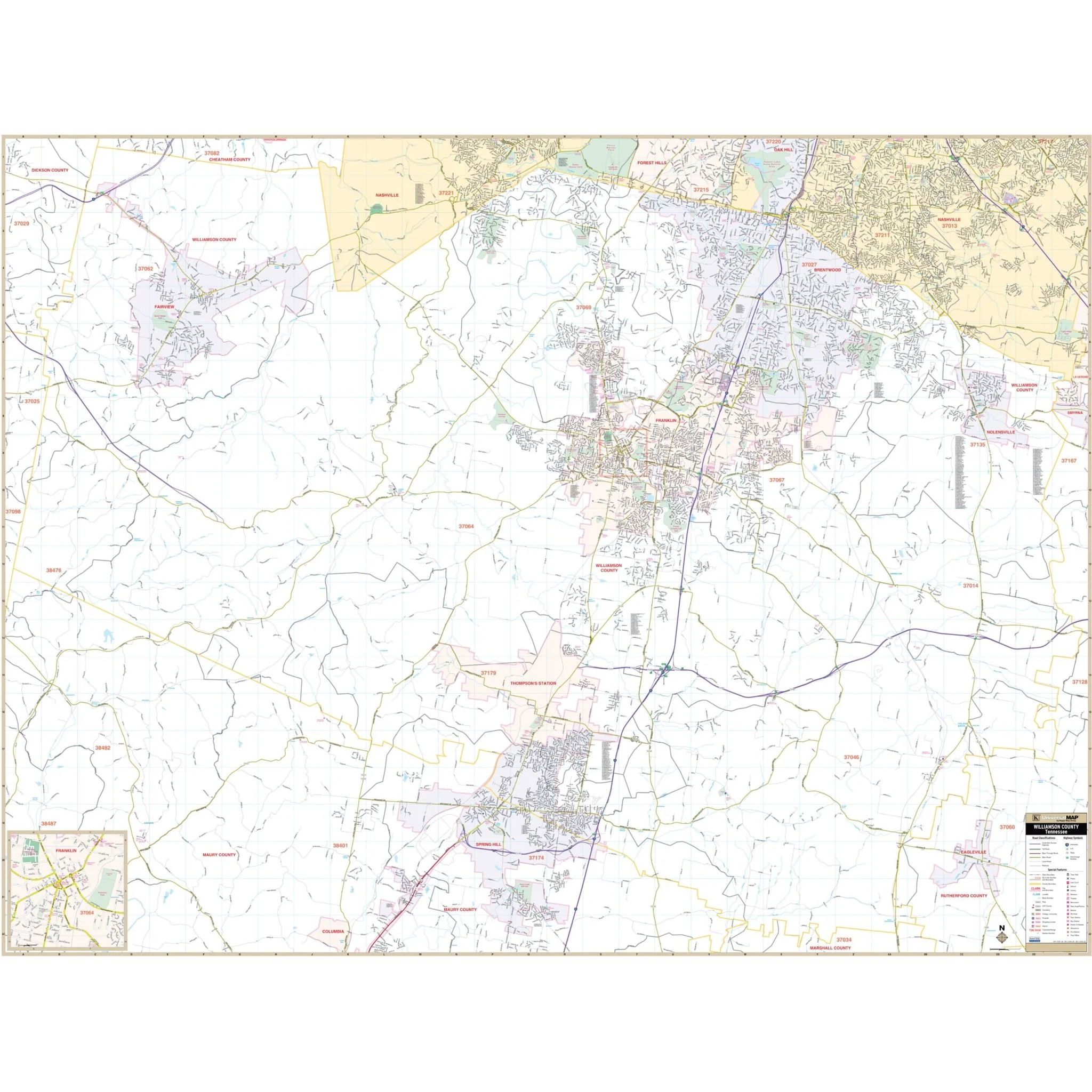
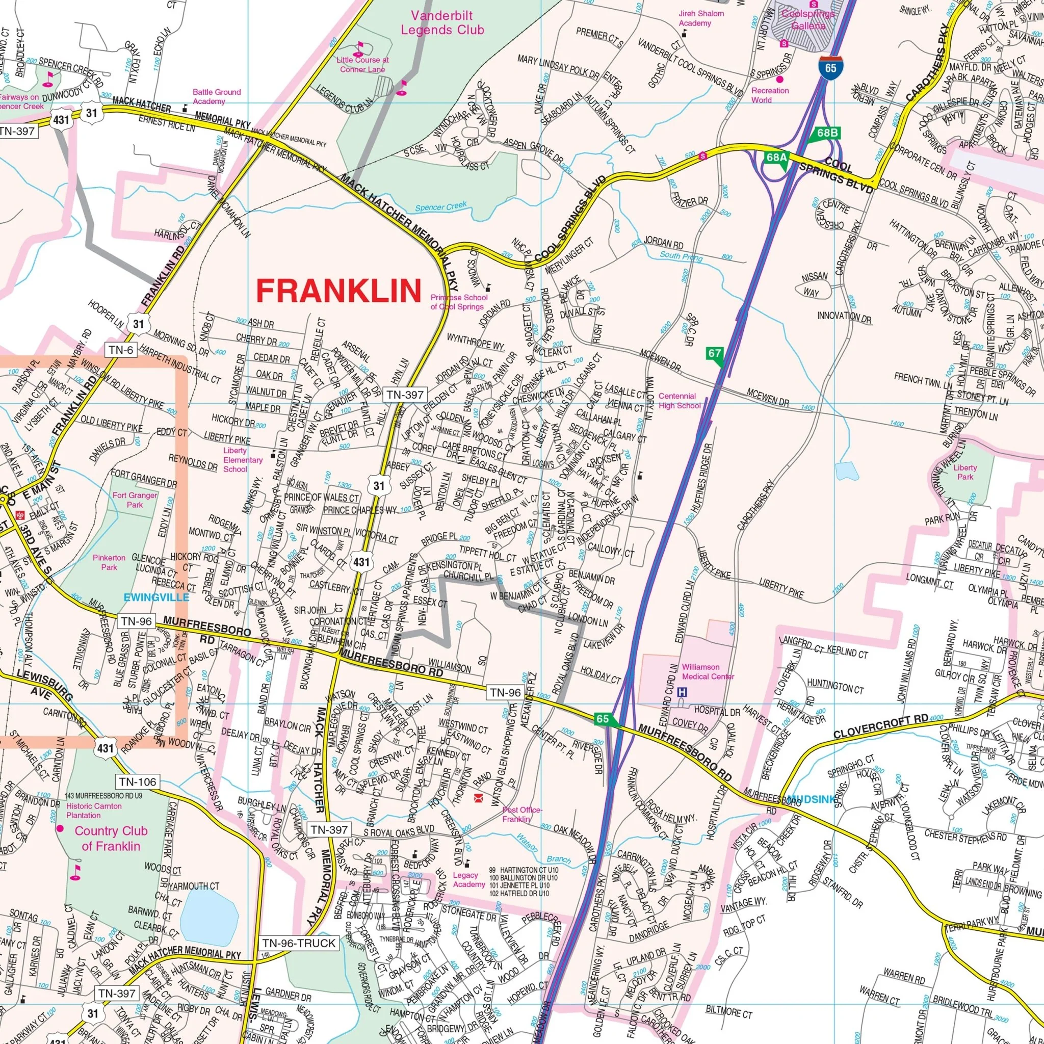
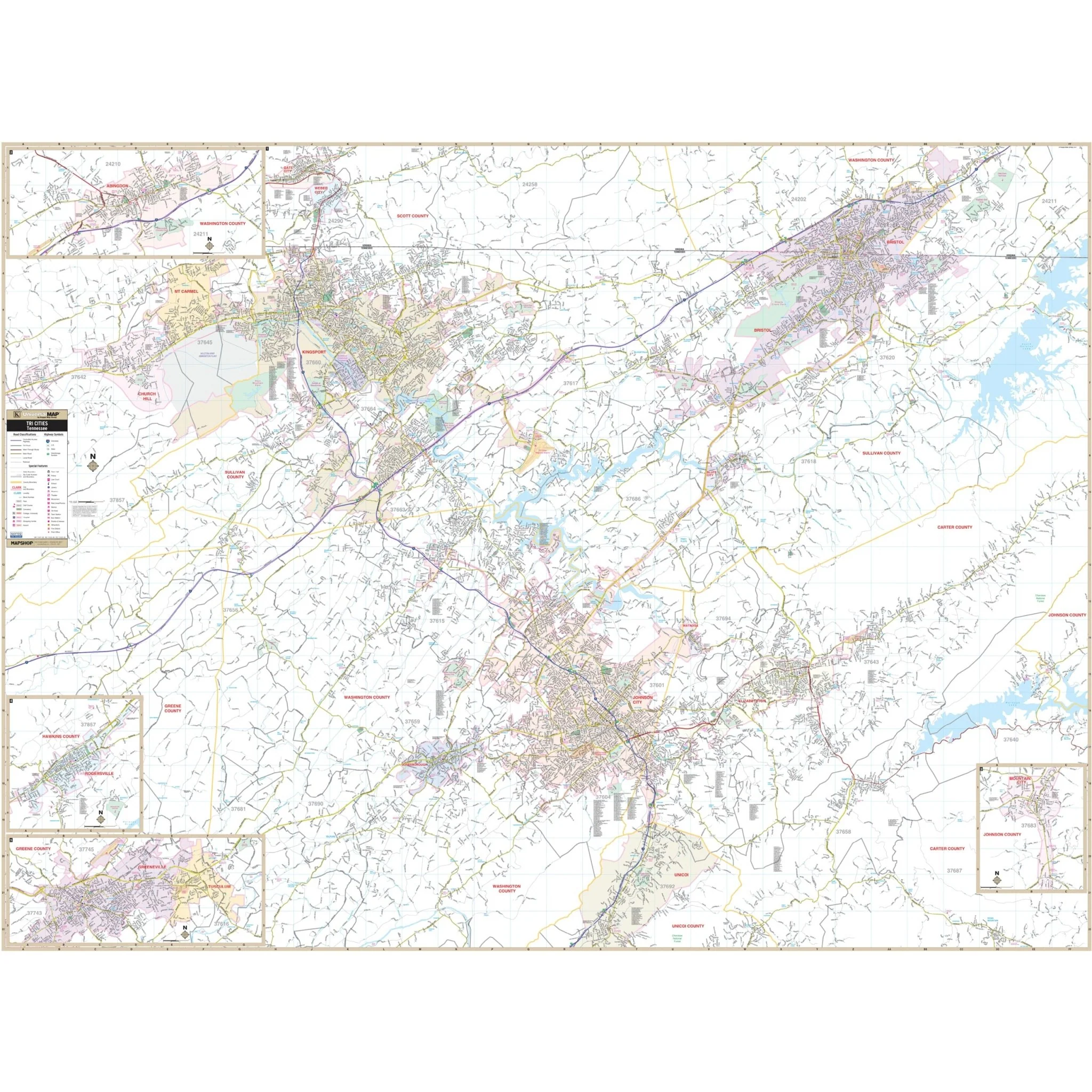
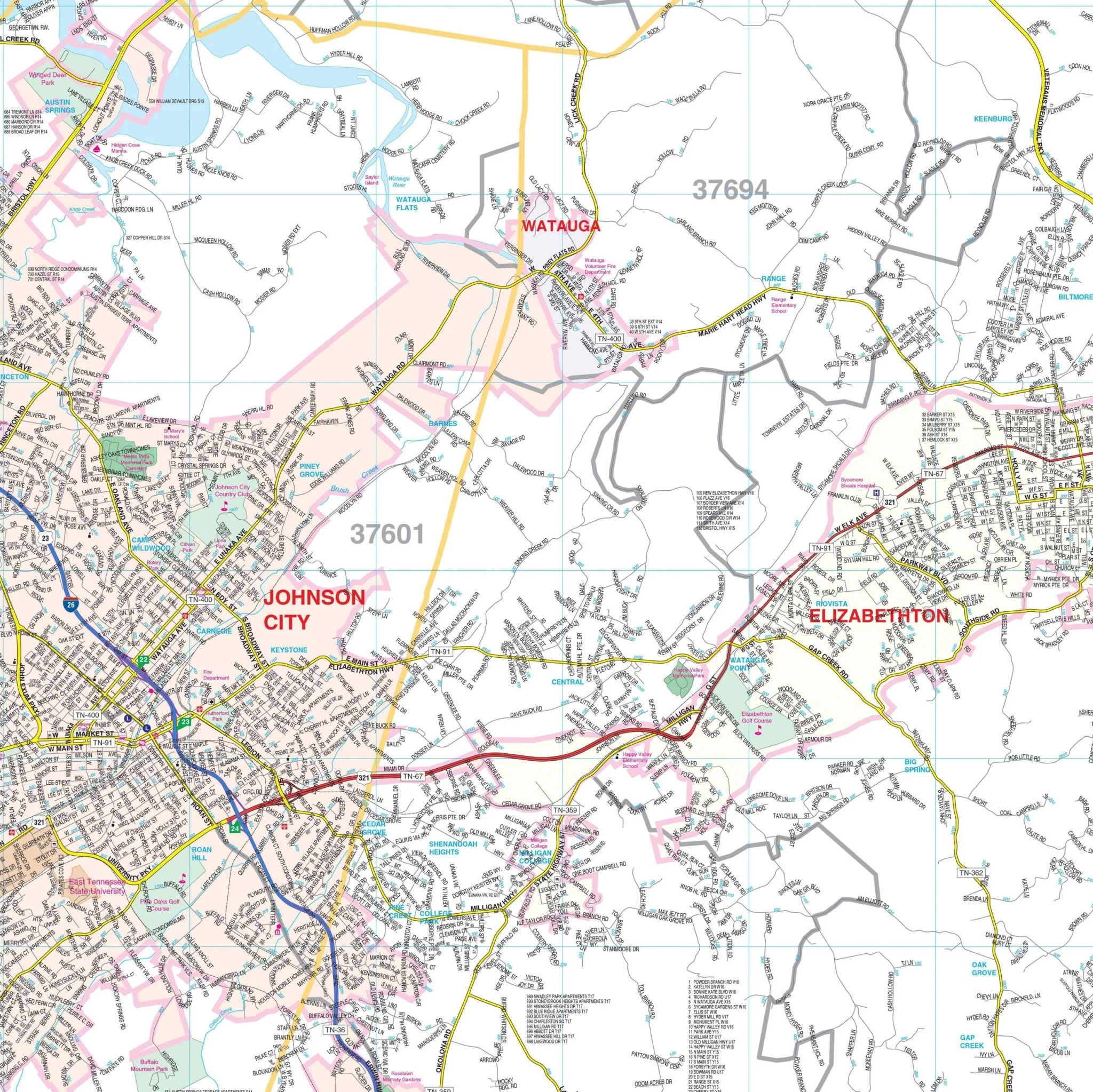
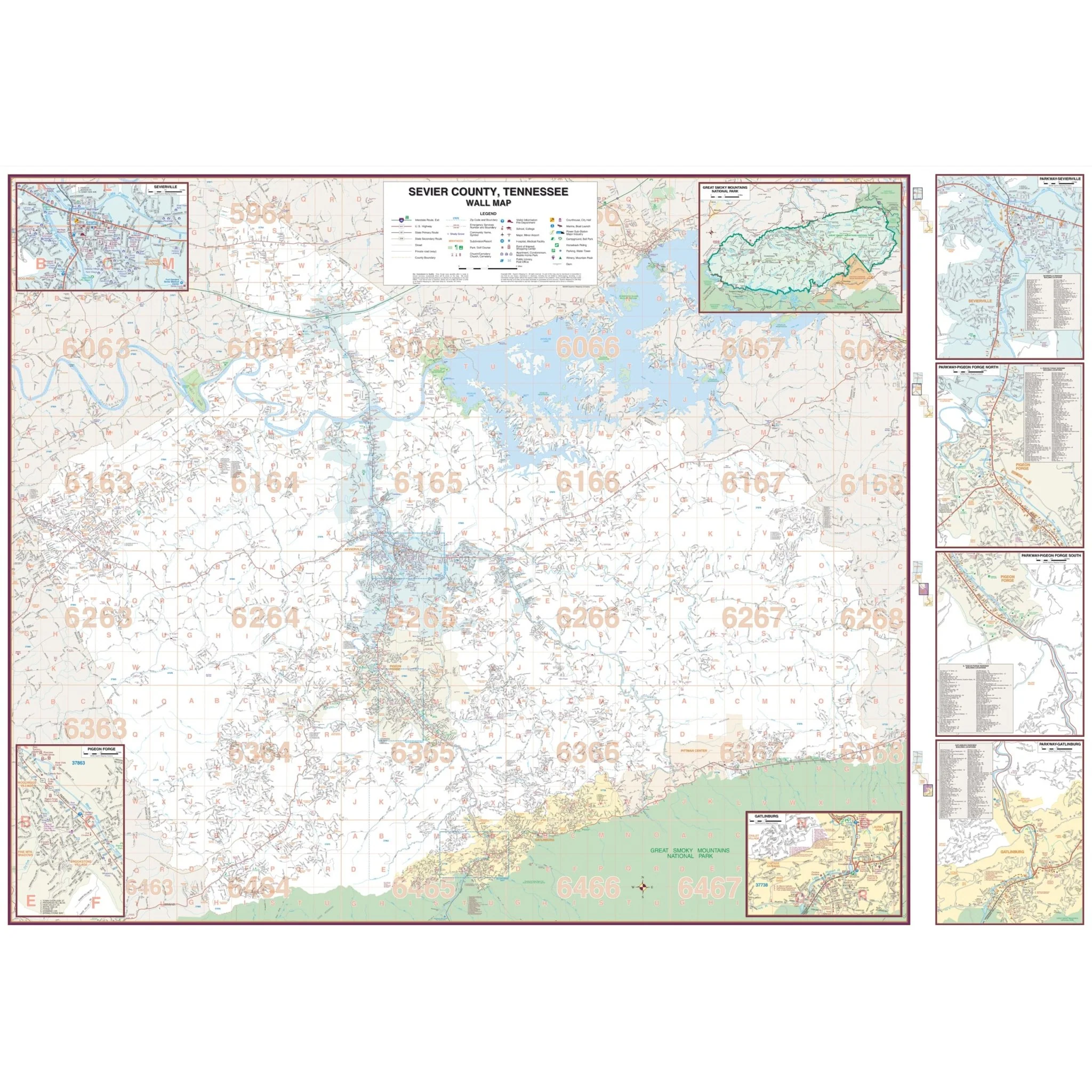
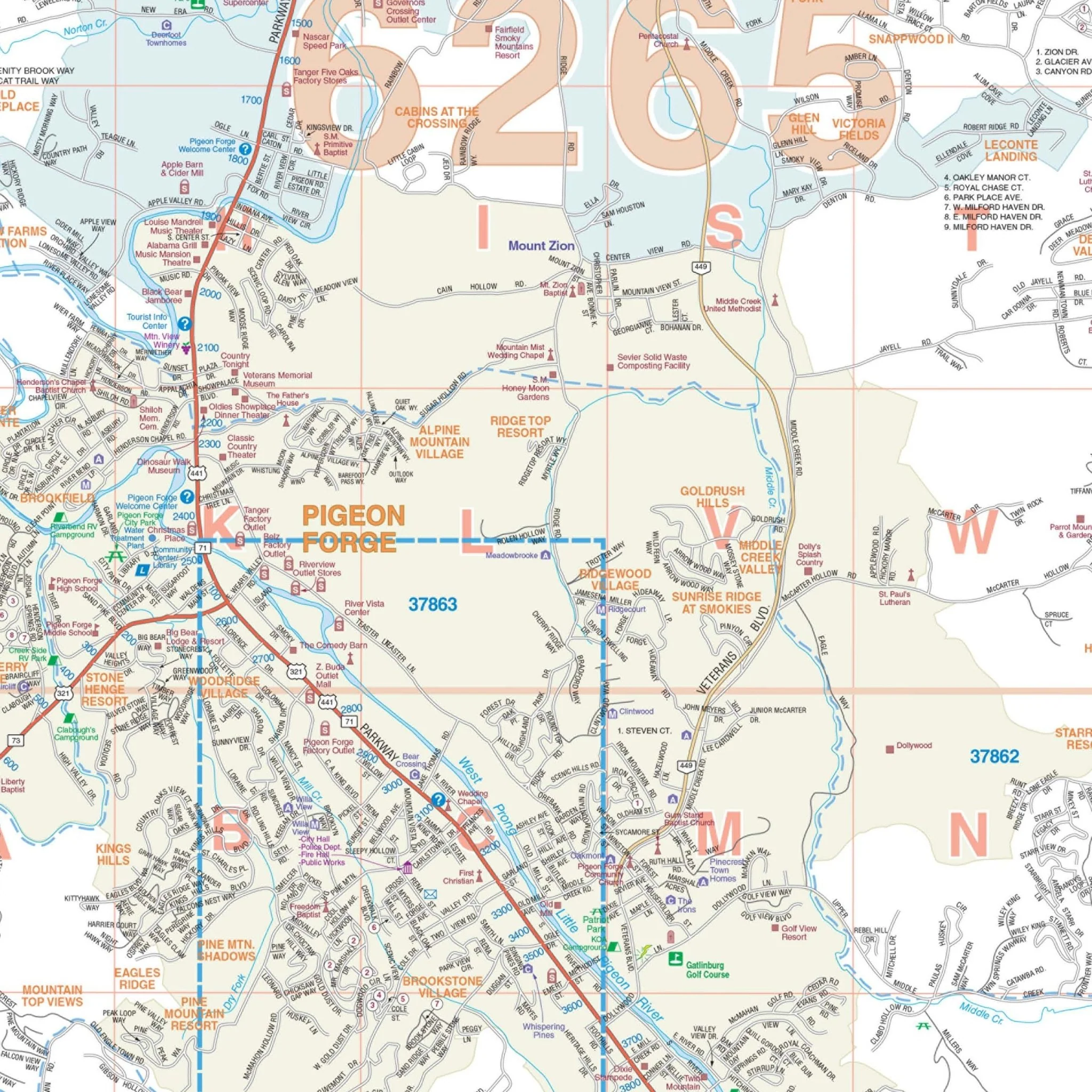
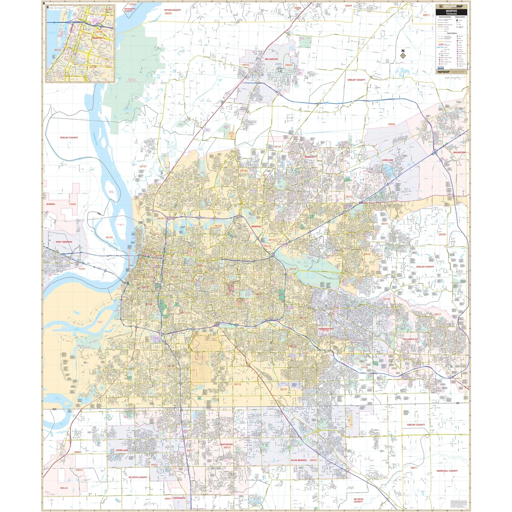
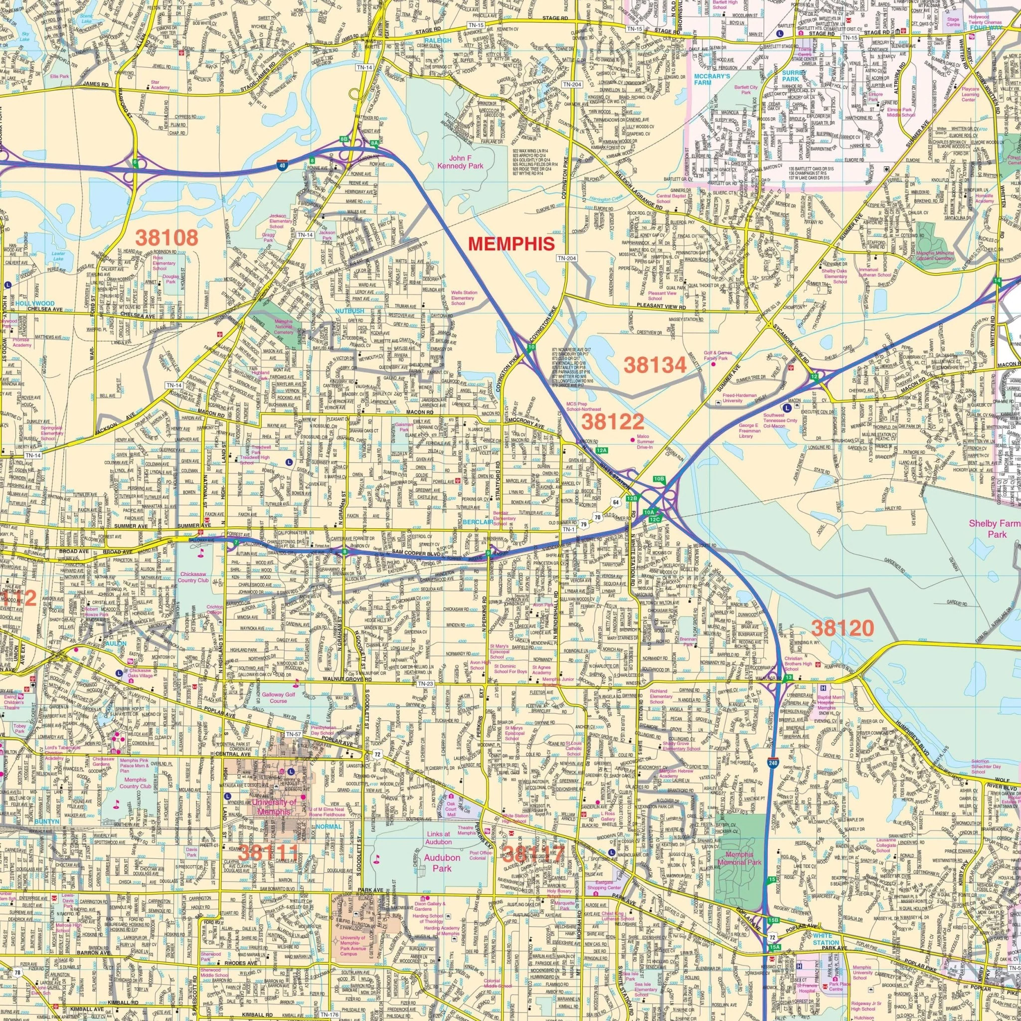
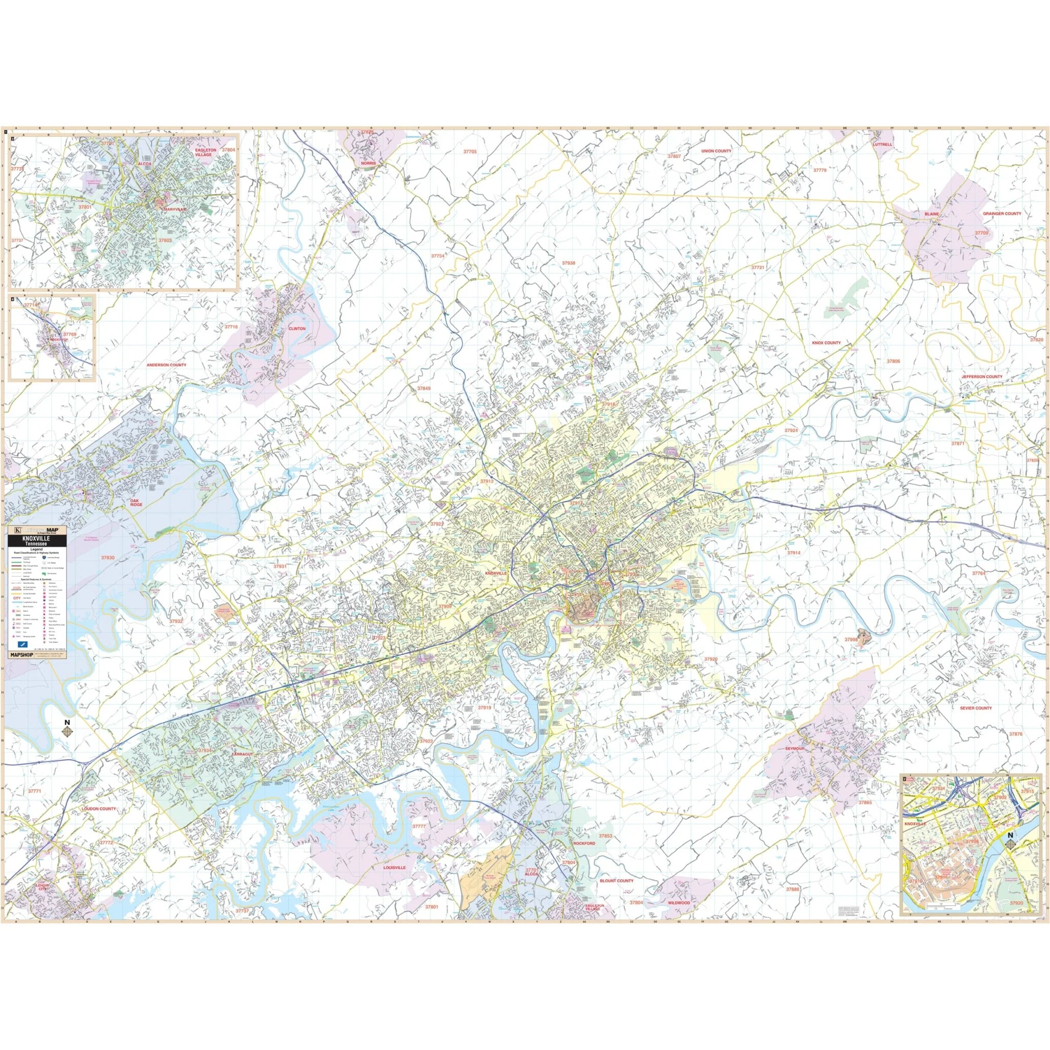
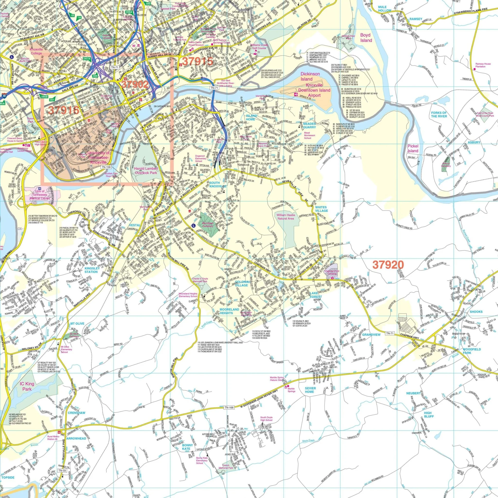
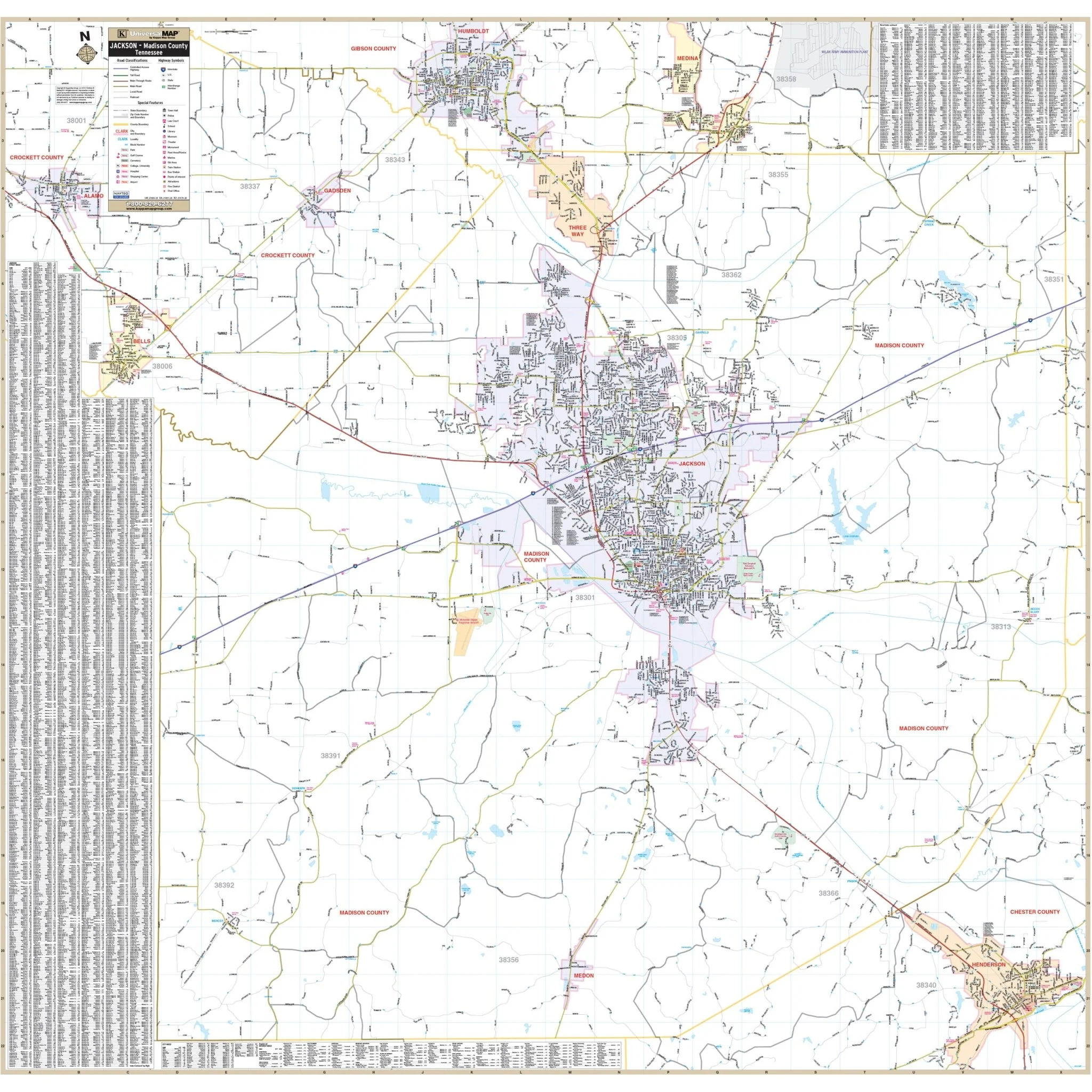
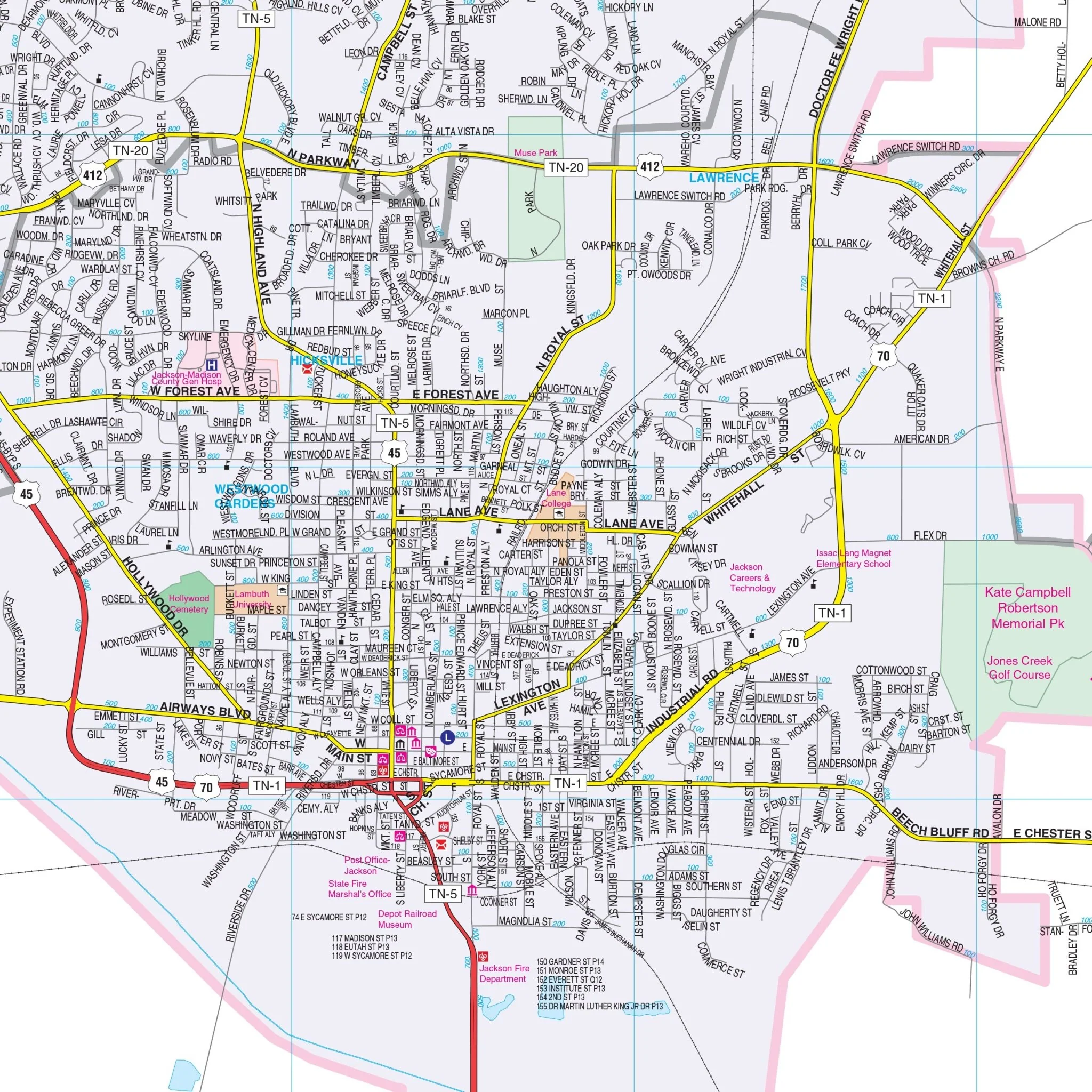
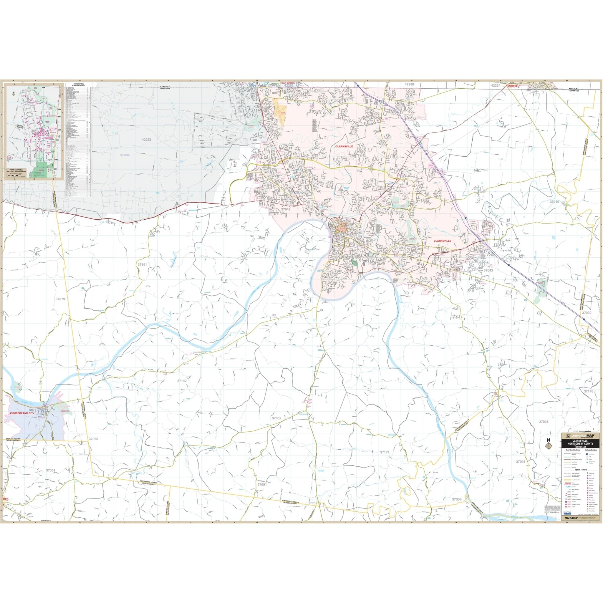
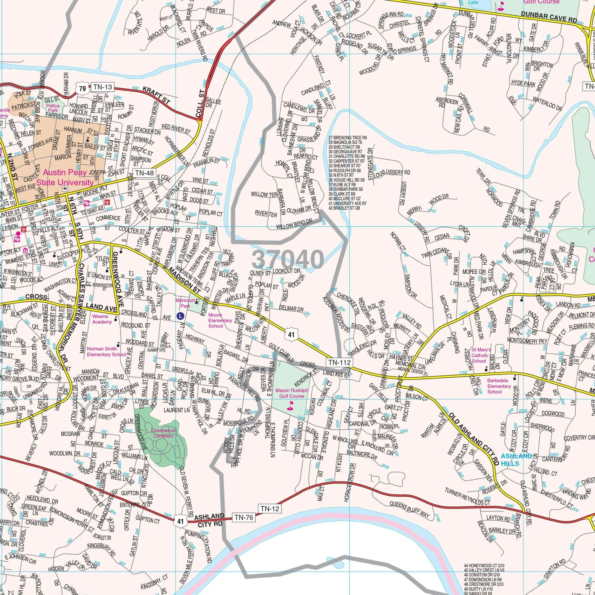
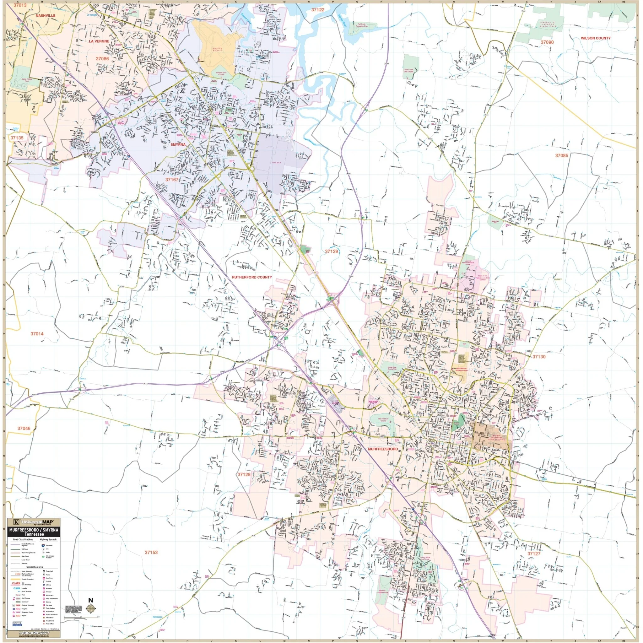
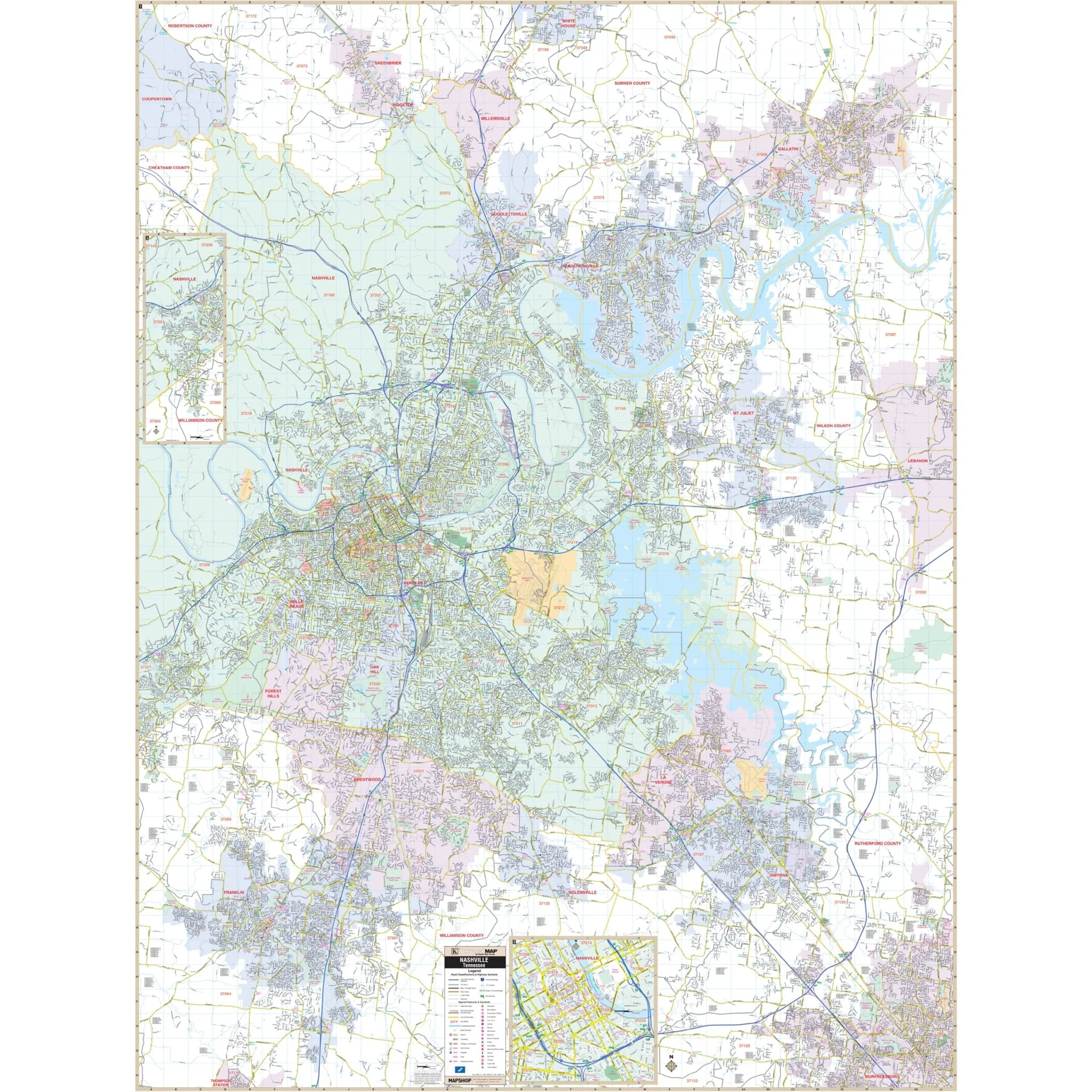
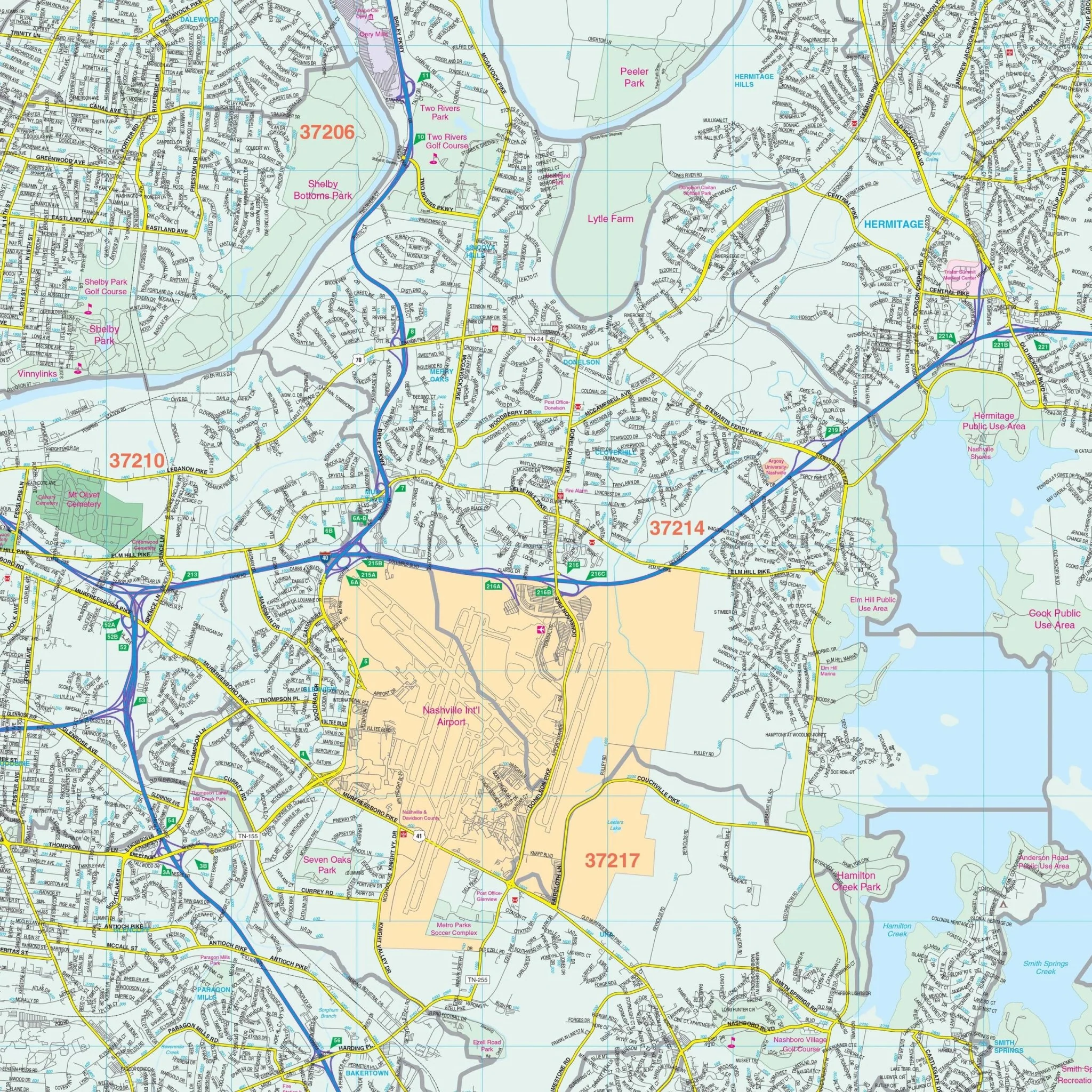
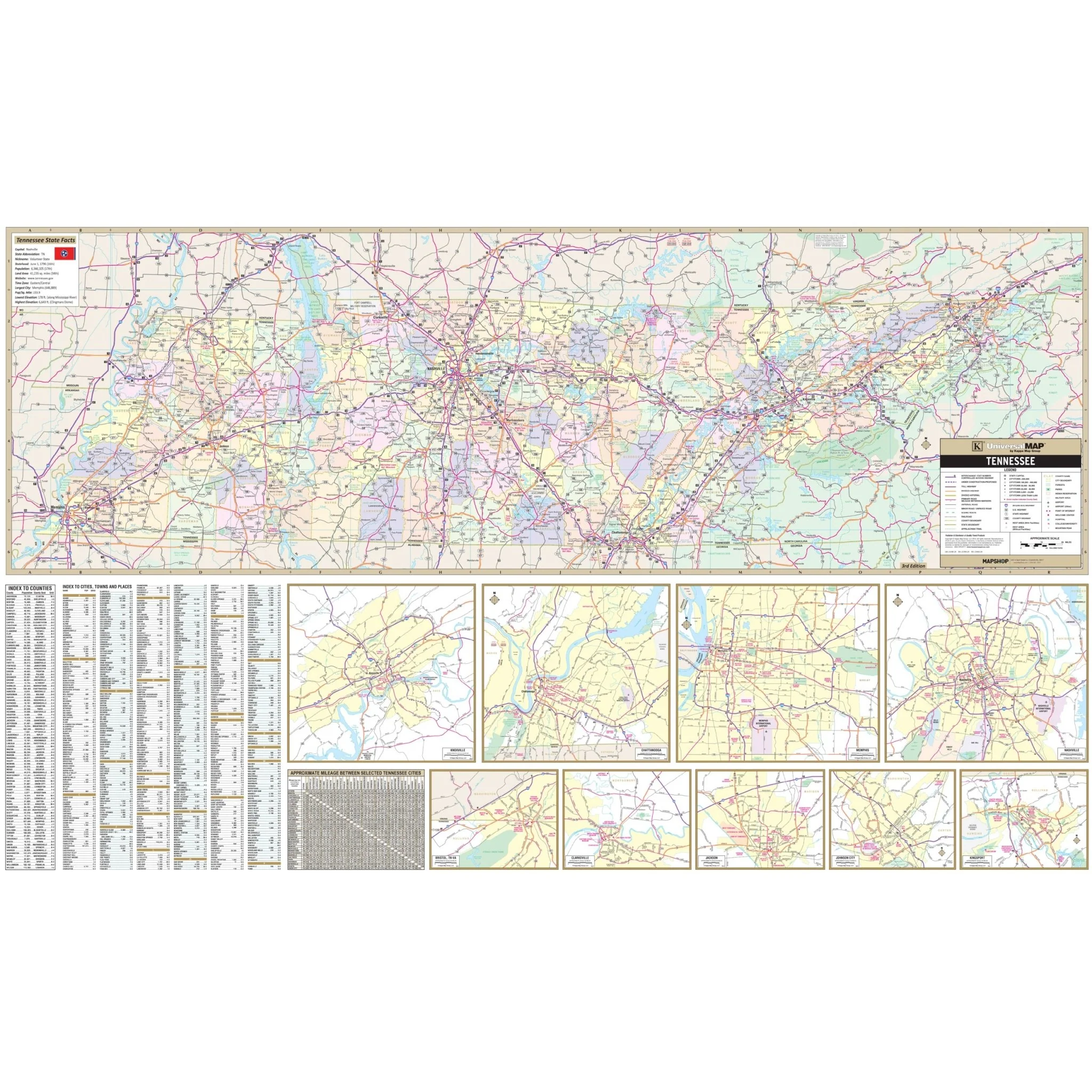
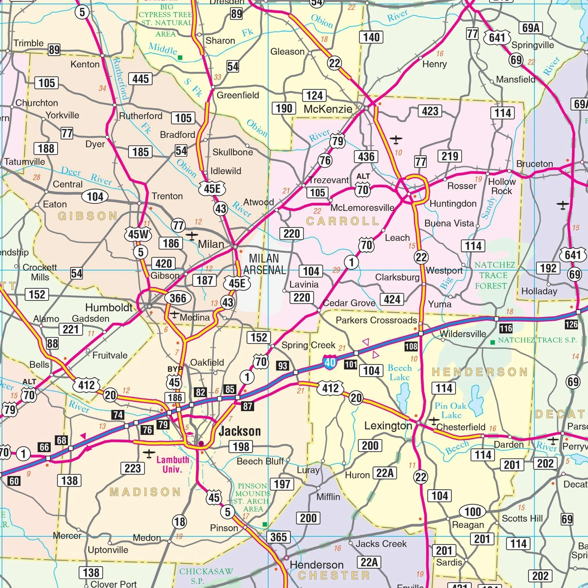
The Tennessee State Wall Map by Kappa Map Group is a comprehensive and informative guide, encompassing a wide array of geographical and infrastructural details. It includes all state highways, all federal highways, cities, major waterways, major airports, state parks, towns, state universities, wildlife areas, and military installations. Additionally, it features points of interest, making it a valuable resource for various users.
The map also contains insets of key cities for enhanced detail, including Bristol, Chattanooga, Clarksville, Kingsport, Knoxville, Jackson, Johnson City, Memphis, and Nashville. A special feature of this map is the color-coded counties, which facilitate easy identification and navigation. A mileage chart between major cities is included for convenience in travel planning.
Moreover, cities are indexed on the face of the map, allowing for quick and easy reference. This map is ideal for anyone seeking a detailed overview of Tennessee’s geographical layout, infrastructure, and key locations.
Size: 69" x 42"
Published: 2013
Original: $109.99
-70%$109.99
$33.00Product Information
Product Information
Shipping & Returns
Shipping & Returns
Description
The Tennessee State Wall Map by Kappa Map Group is a comprehensive and informative guide, encompassing a wide array of geographical and infrastructural details. It includes all state highways, all federal highways, cities, major waterways, major airports, state parks, towns, state universities, wildlife areas, and military installations. Additionally, it features points of interest, making it a valuable resource for various users.
The map also contains insets of key cities for enhanced detail, including Bristol, Chattanooga, Clarksville, Kingsport, Knoxville, Jackson, Johnson City, Memphis, and Nashville. A special feature of this map is the color-coded counties, which facilitate easy identification and navigation. A mileage chart between major cities is included for convenience in travel planning.
Moreover, cities are indexed on the face of the map, allowing for quick and easy reference. This map is ideal for anyone seeking a detailed overview of Tennessee’s geographical layout, infrastructure, and key locations.
Size: 69" x 42"
Published: 2013