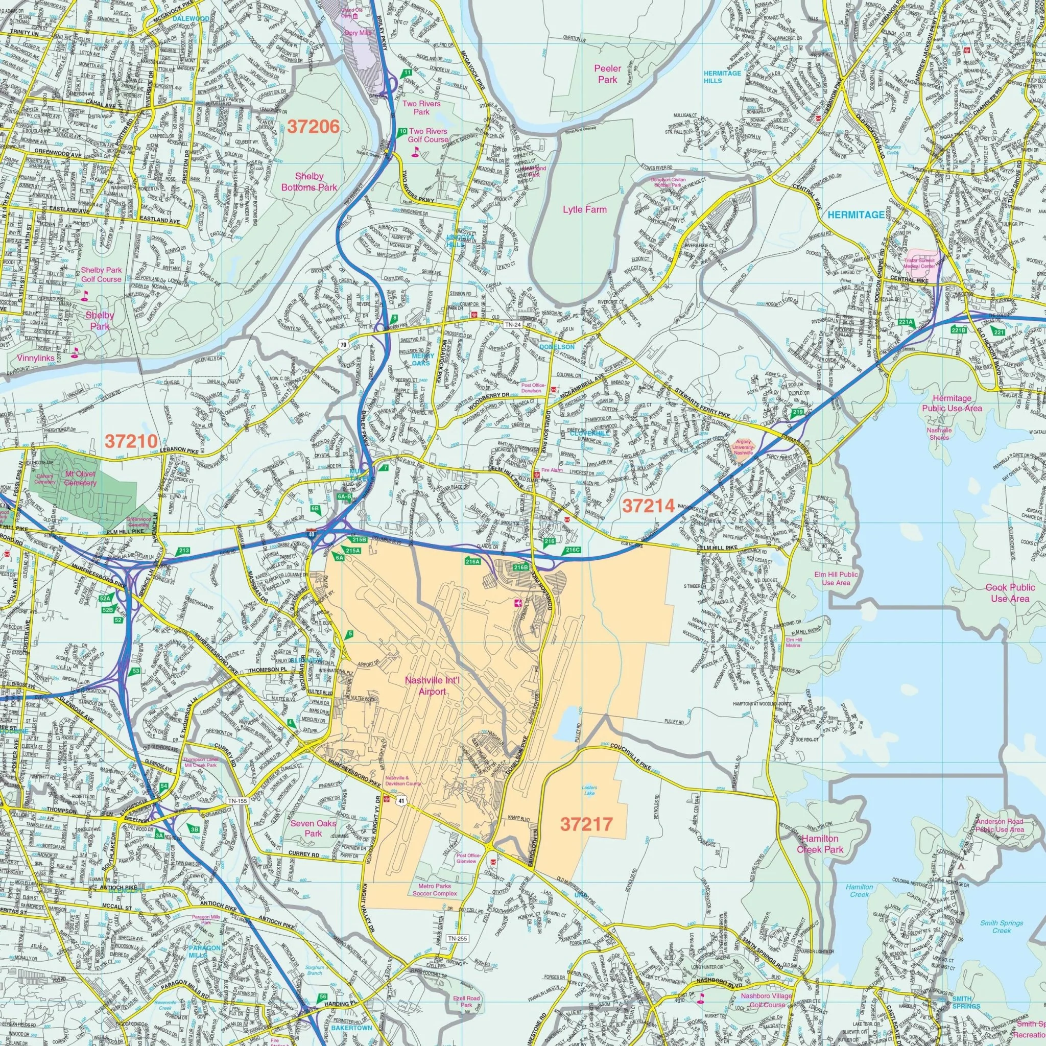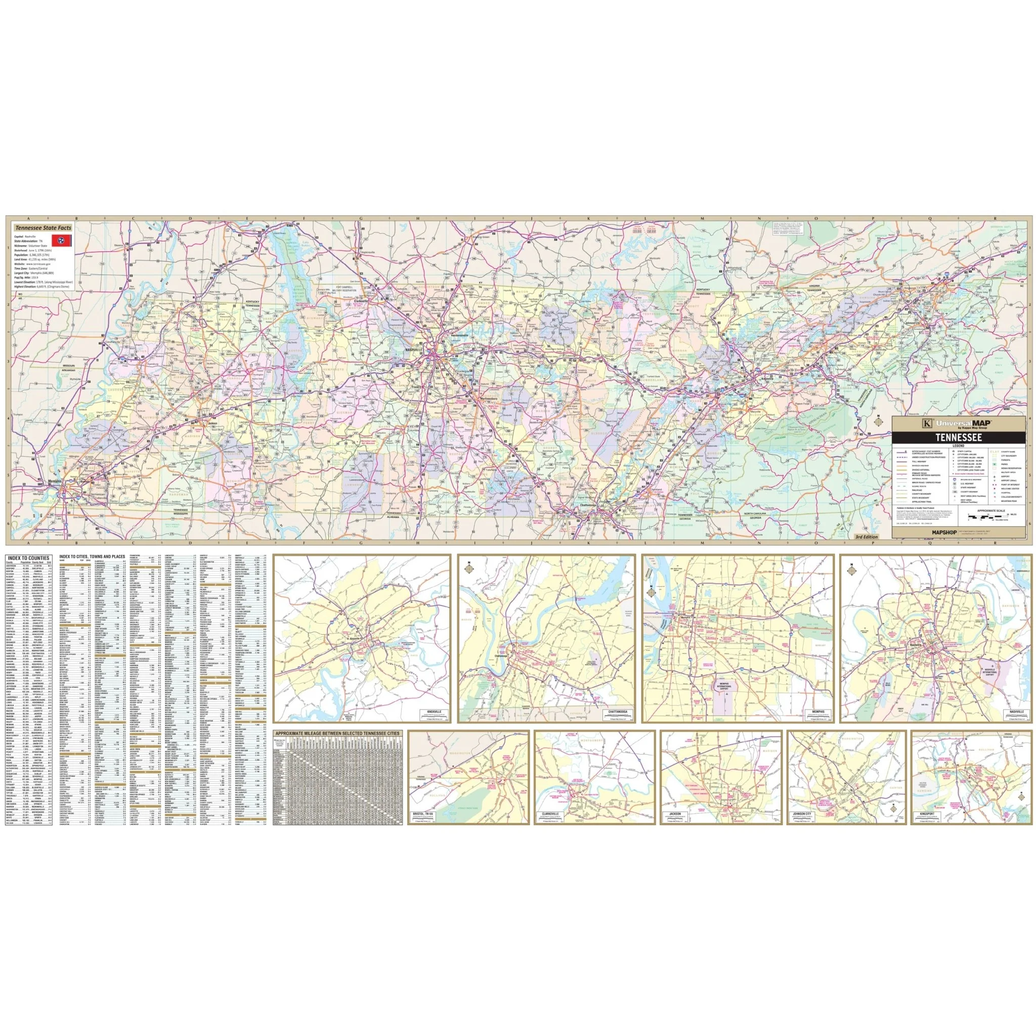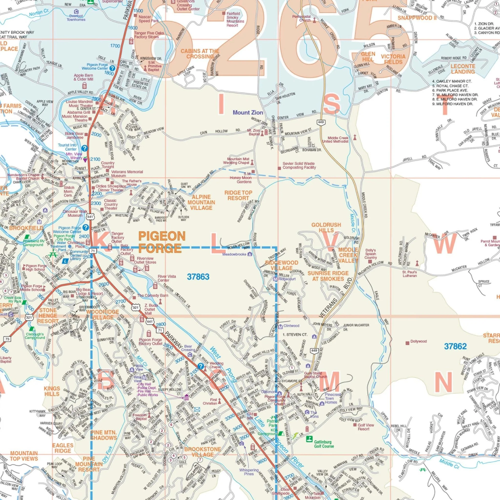


Sevier County, TN Wall Map
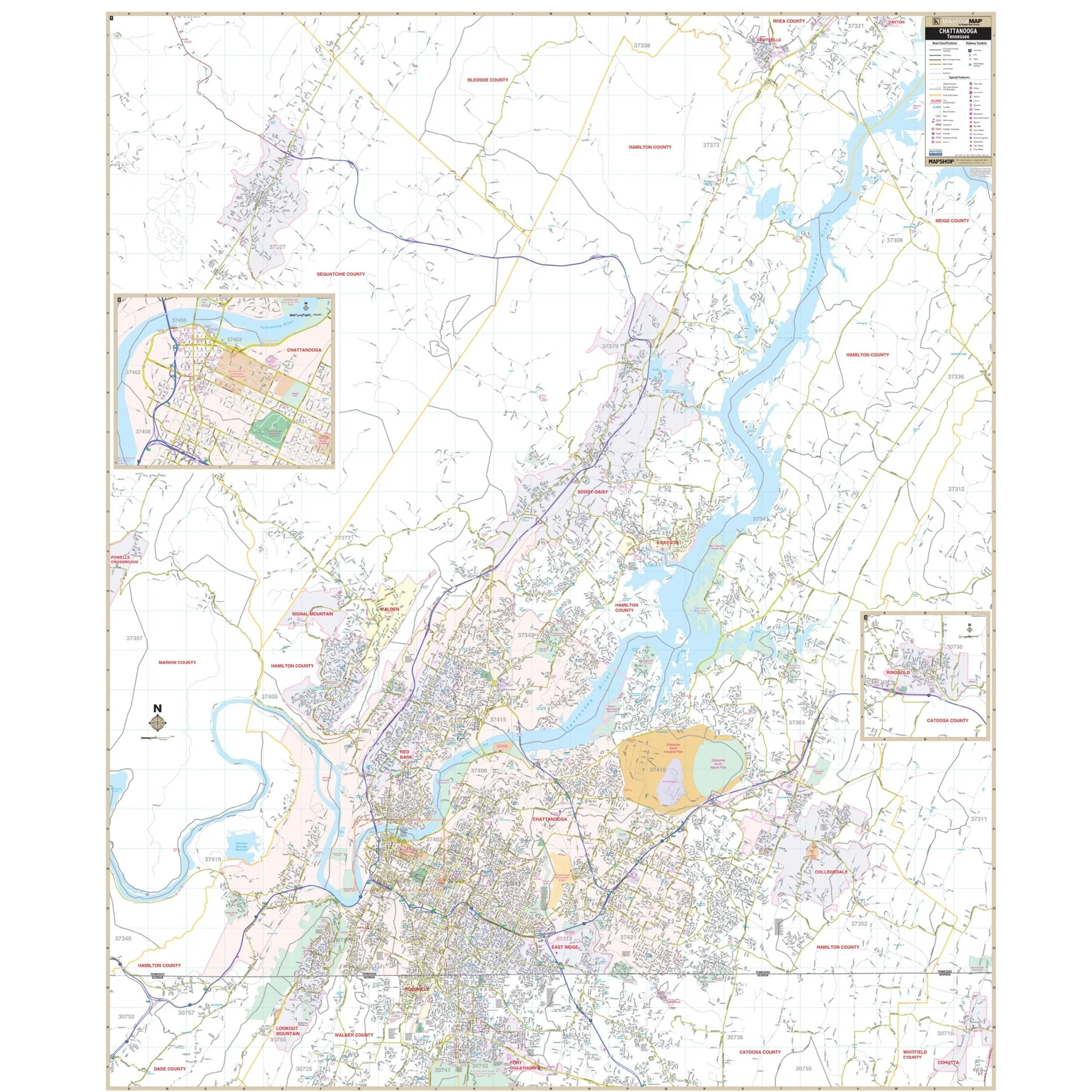
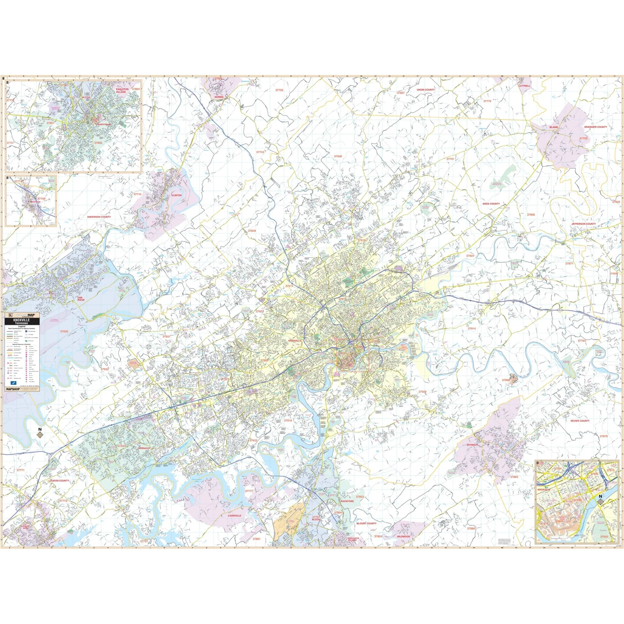
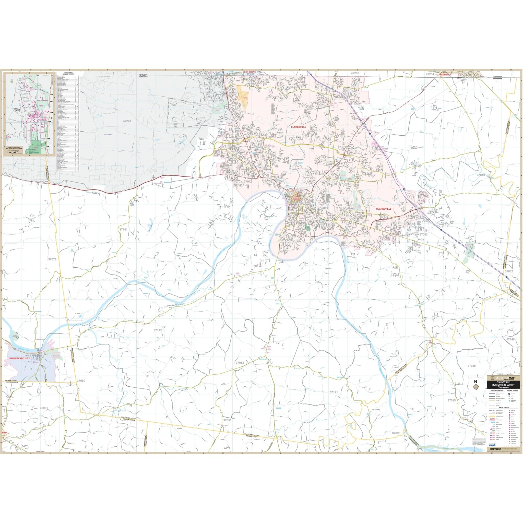
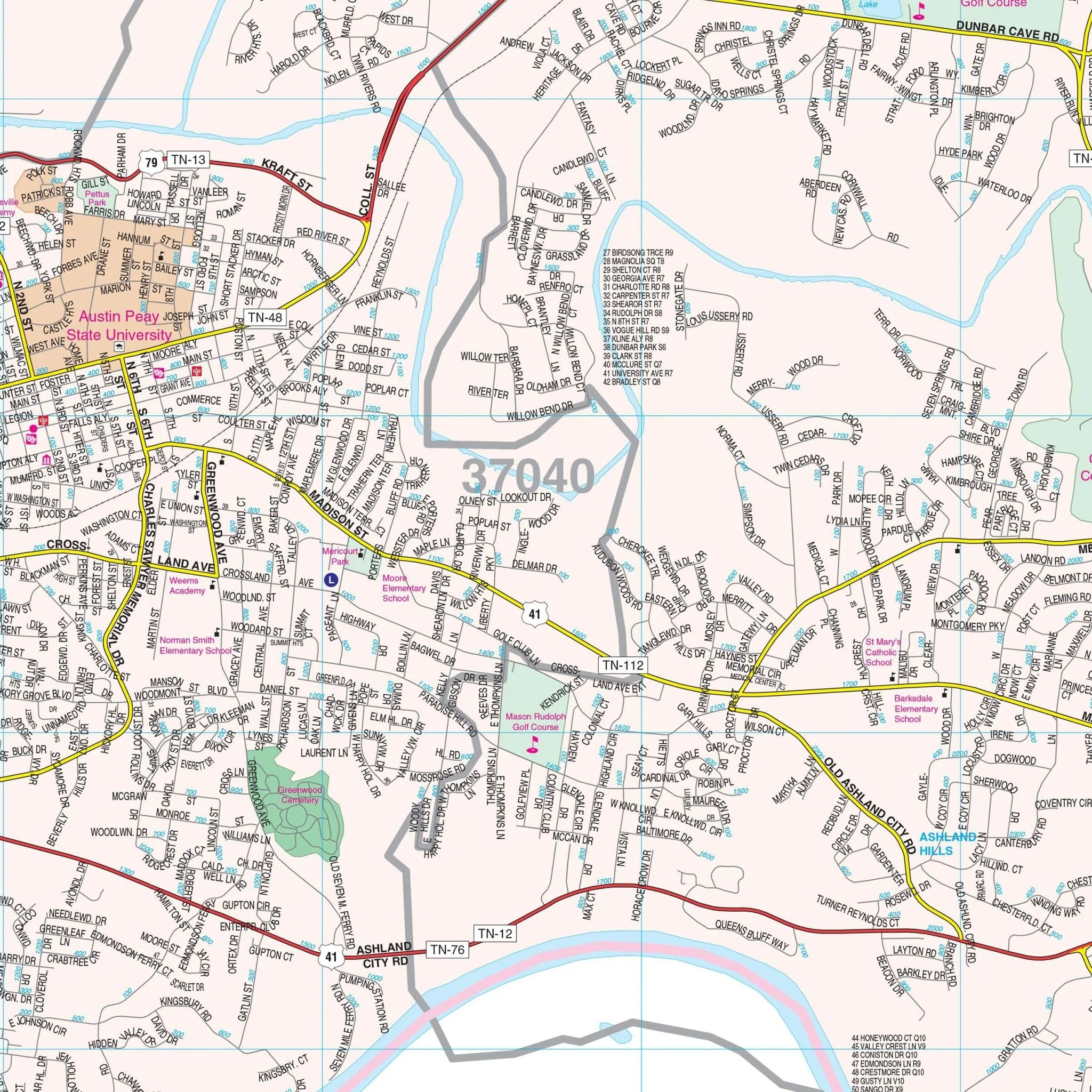
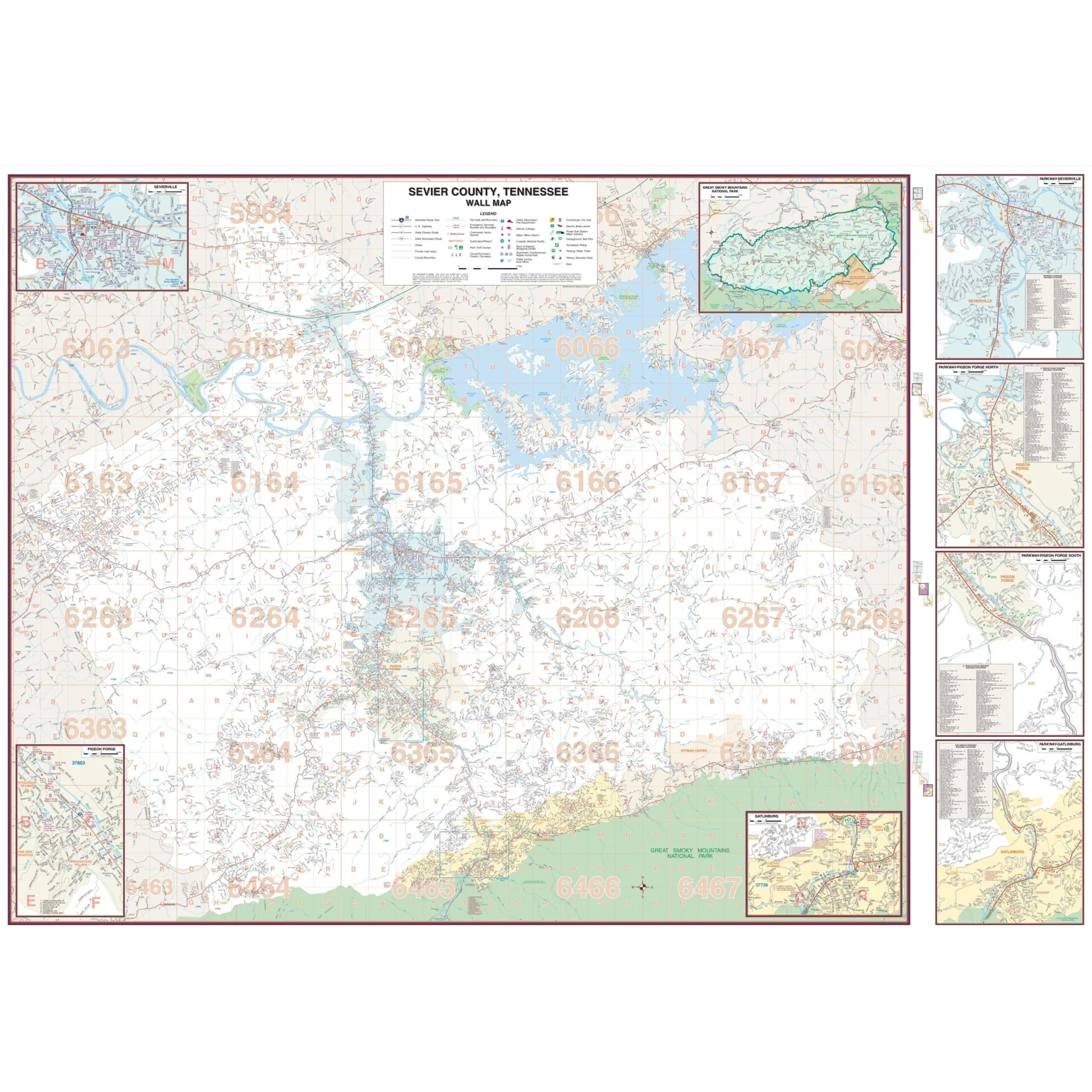
The wall map of Sevier County, Tennessee provides complete street detail, including new streets and changes. The area of coverage encompasses entire Sevier County, including the cities and towns of Gatlinburg, Pigeon Forge, Pittman Center, and Sevierville. Here are the geographical boundaries:
- North: to Jefferson County Line
- South: to North Carolina State Line
- East: to Cocke County Line
- West: to Blount County Line
In addition to the main coverage, the map includes insets for Seymour and the Great Smoky Mountains National Park. Details provided on the map include all streets and highways, government buildings, airports, water features, fire and police stations, hospitals, shopping centers, educational institutions, railroads, recreational parks, golf and country clubs, post offices, city limits and annexations, cemeteries, township/range/section lines, block numbers, subdivisions, ZIP codes and boundaries, longitude and latitude markings, as well as points of interest.
Size: 77.5" x 54"
Published: 2008
Original: $149.99
-70%$149.99
$45.00Product Information
Product Information
Shipping & Returns
Shipping & Returns
Description
The wall map of Sevier County, Tennessee provides complete street detail, including new streets and changes. The area of coverage encompasses entire Sevier County, including the cities and towns of Gatlinburg, Pigeon Forge, Pittman Center, and Sevierville. Here are the geographical boundaries:
- North: to Jefferson County Line
- South: to North Carolina State Line
- East: to Cocke County Line
- West: to Blount County Line
In addition to the main coverage, the map includes insets for Seymour and the Great Smoky Mountains National Park. Details provided on the map include all streets and highways, government buildings, airports, water features, fire and police stations, hospitals, shopping centers, educational institutions, railroads, recreational parks, golf and country clubs, post offices, city limits and annexations, cemeteries, township/range/section lines, block numbers, subdivisions, ZIP codes and boundaries, longitude and latitude markings, as well as points of interest.
Size: 77.5" x 54"
Published: 2008