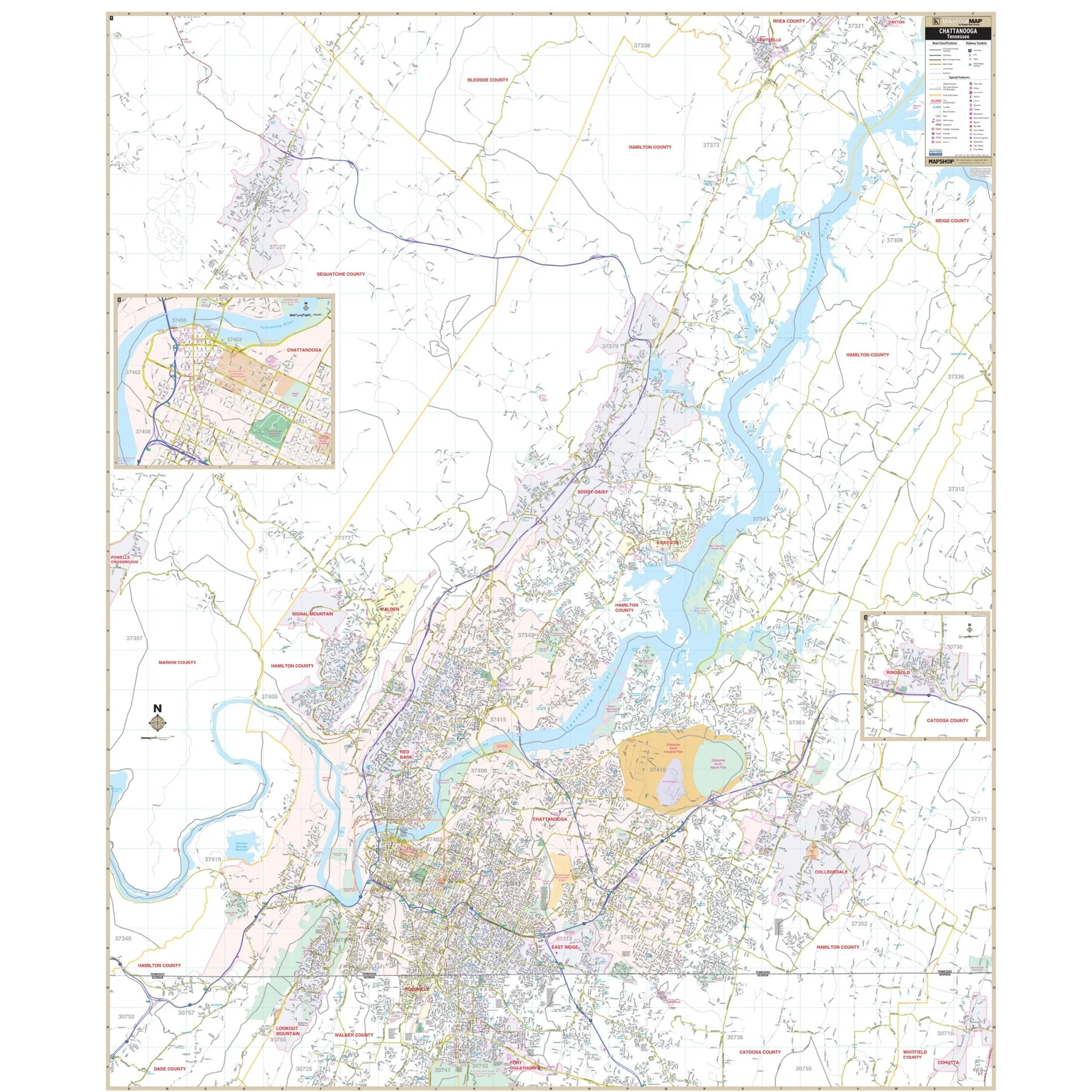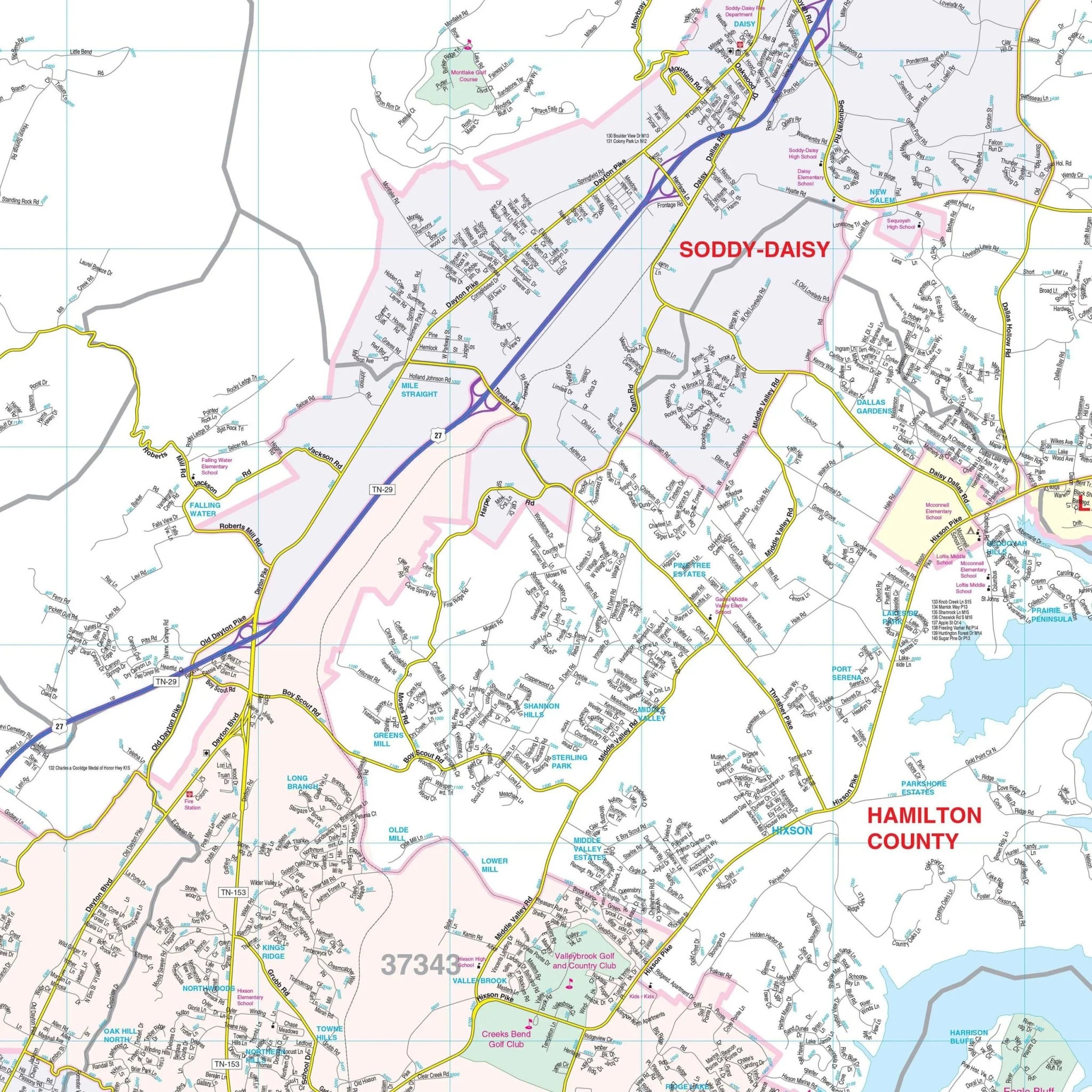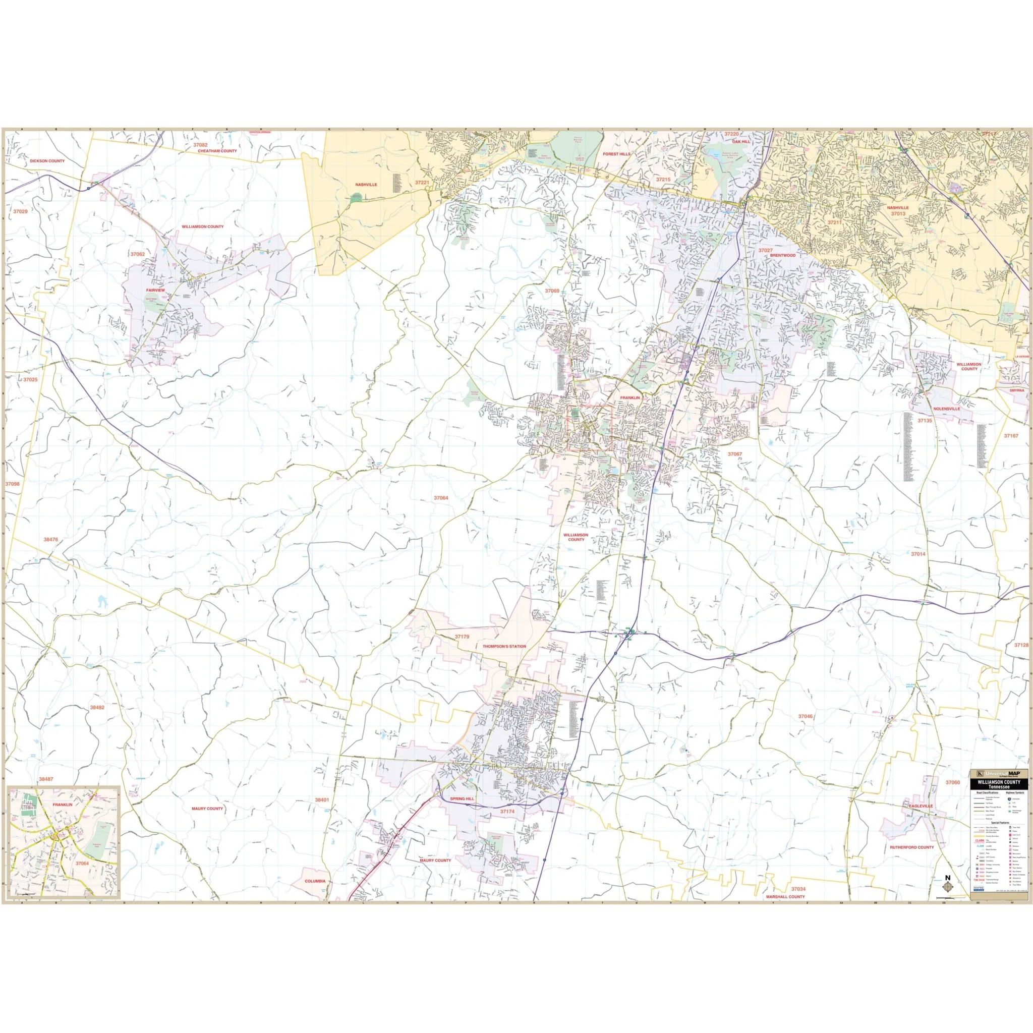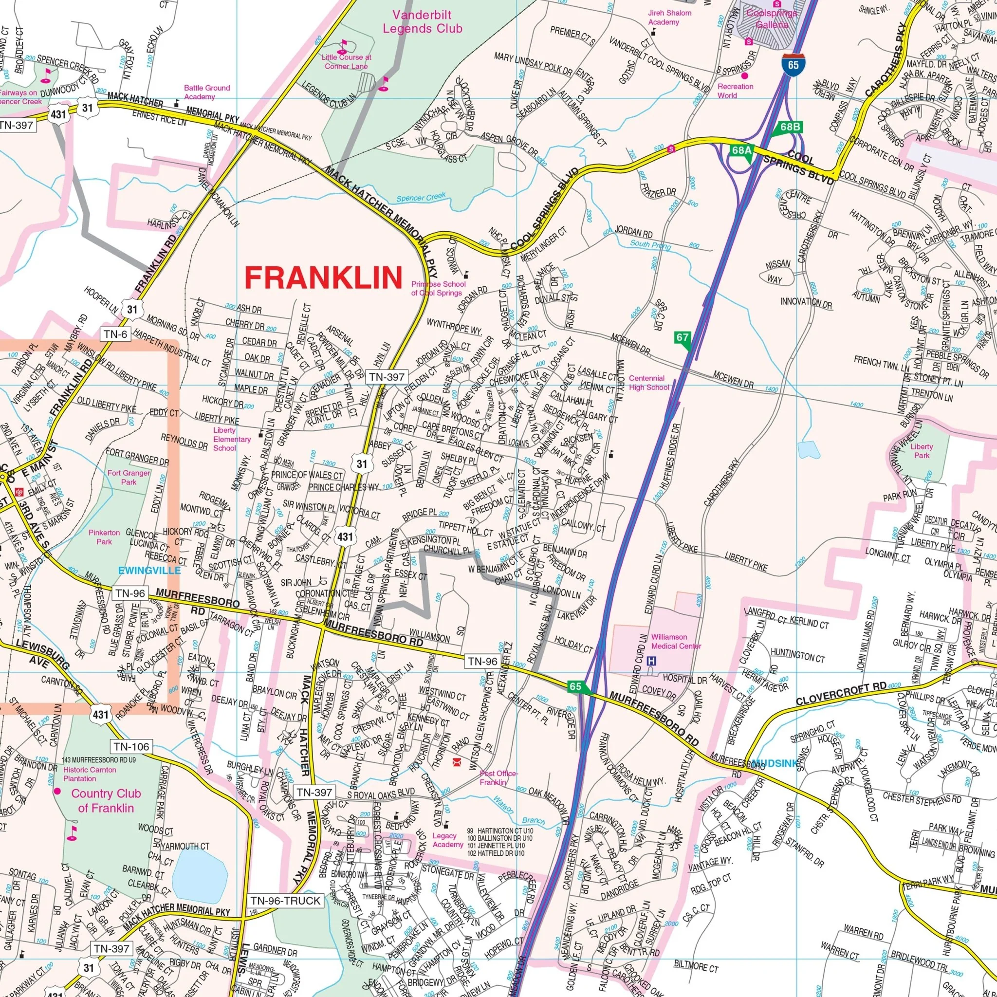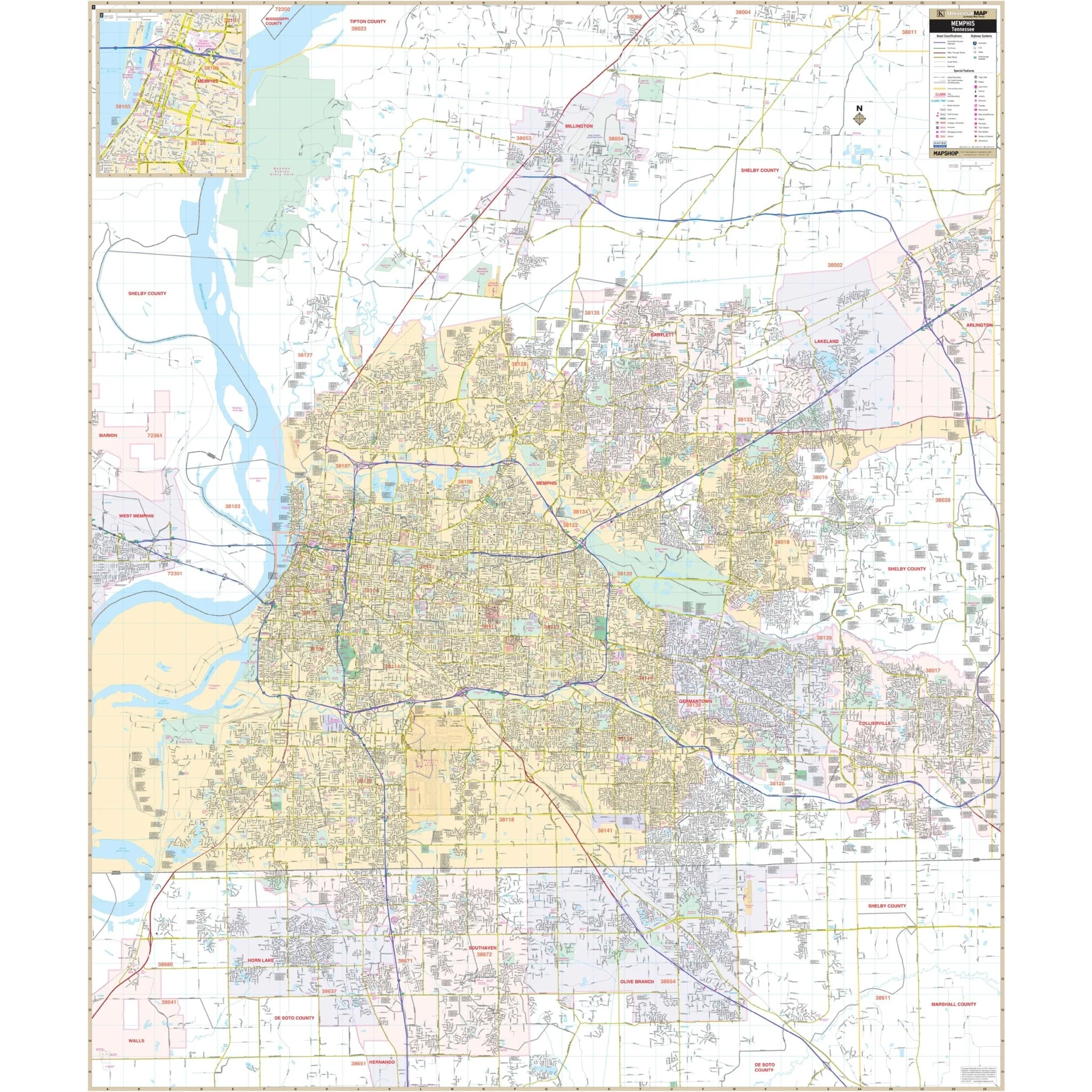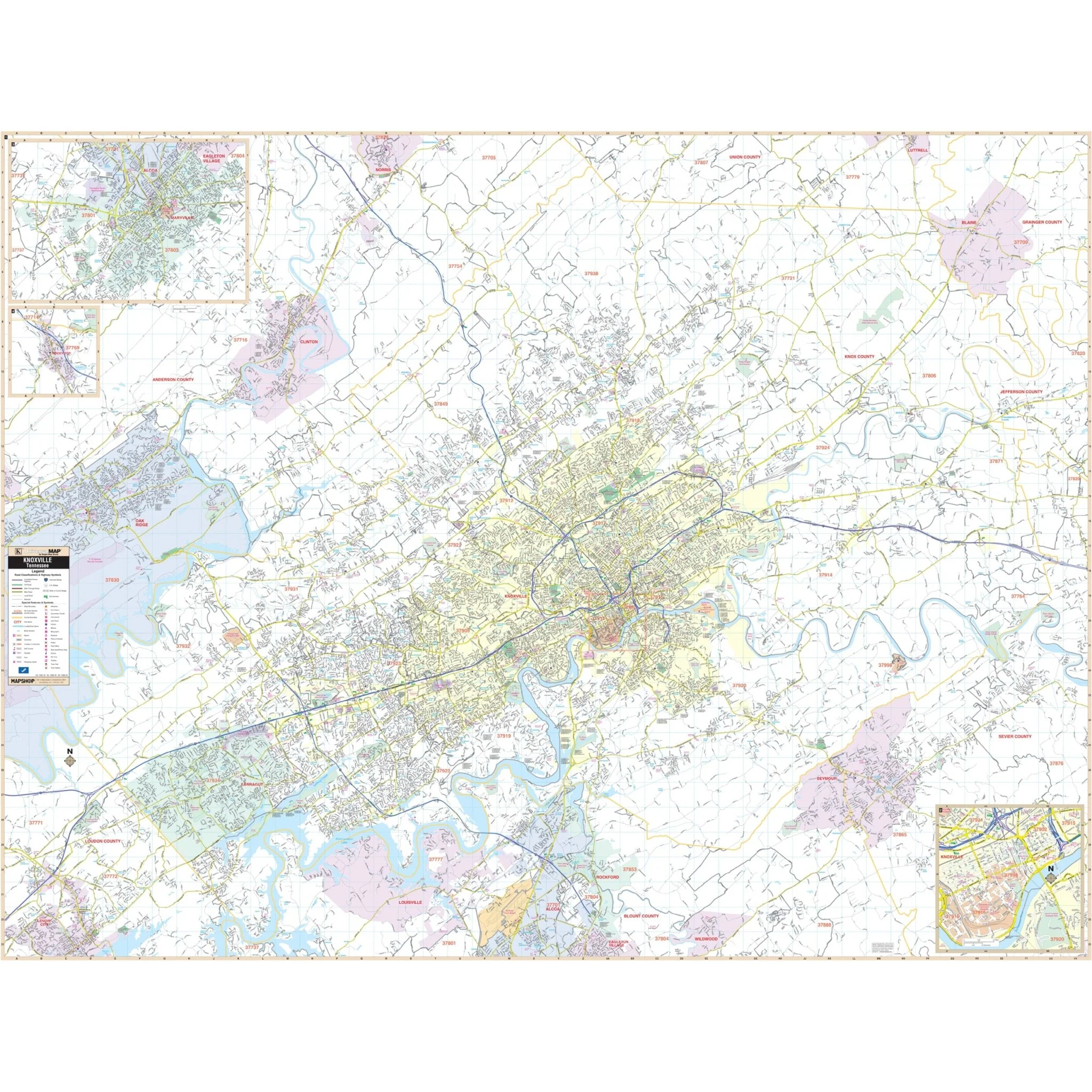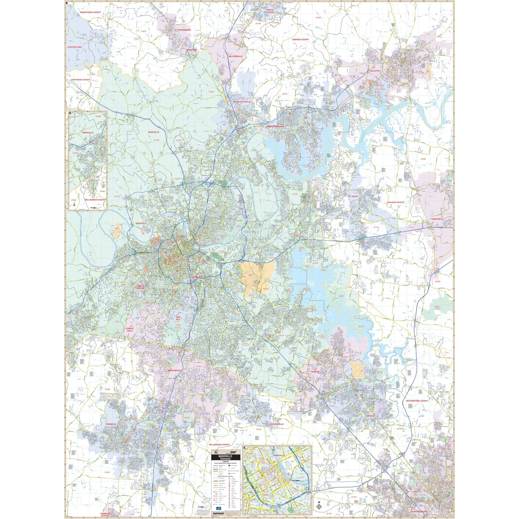


Nashville & Davidson County, TN Wall Map
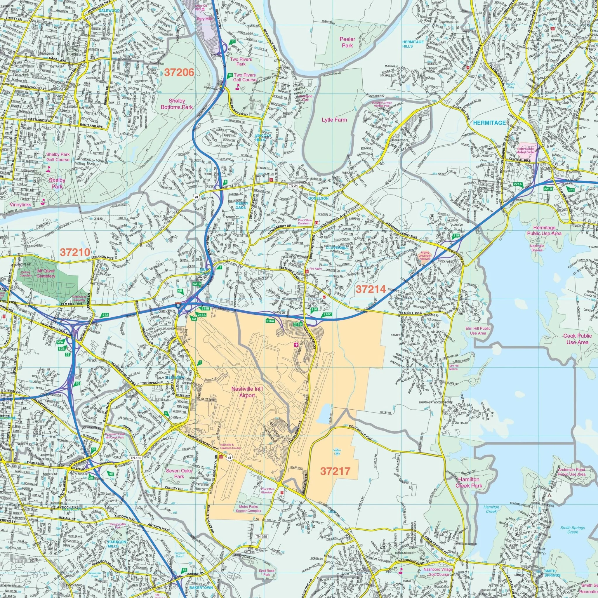
The Nashville and Davidson Co., TN Wall Map, with adjacent areas, provides complete street detail, including new streets and changes. The area of coverage includes all of Nashville, with the following boundaries:
- North to Goodlettsville, Hendersonville, Gallatin, Ridgetop, and Millersville
- South to one mile South of Franklin, and a portion of Murfreesboro
- East to Mt. Juliet, LaVergne, Smyrna, State Hwy 840 & TN109 intersection
- West: includes the I-40 and US 70 interchange
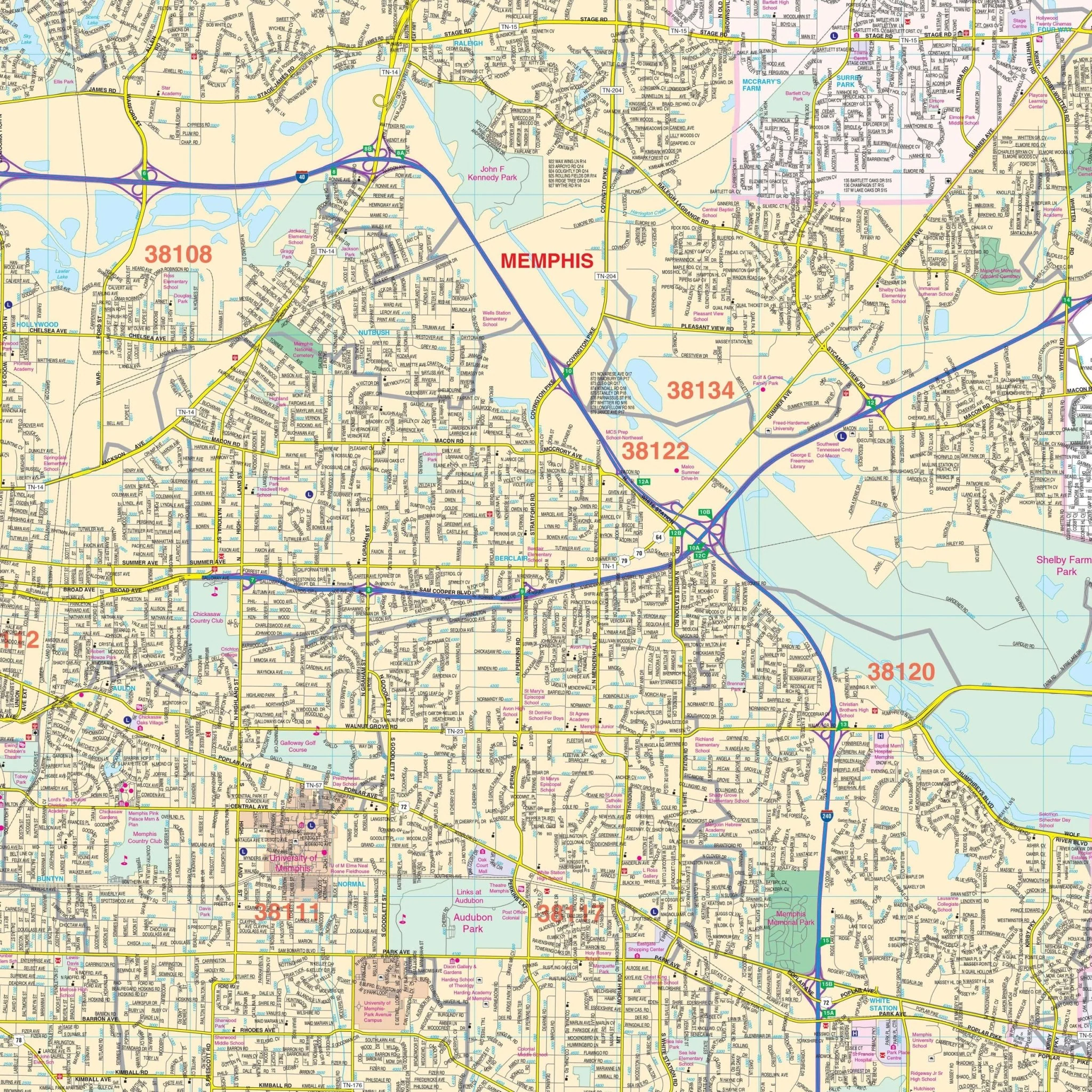
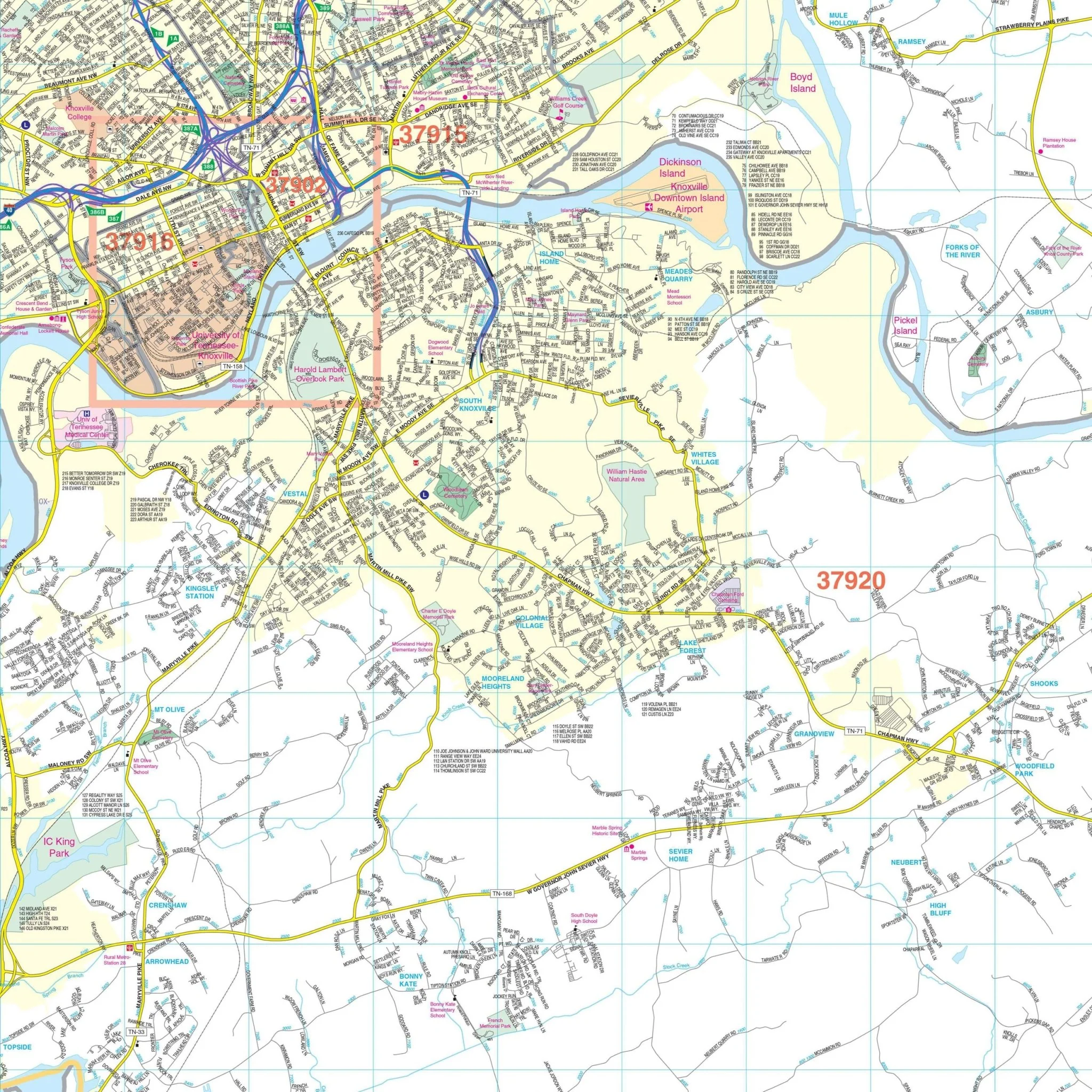
In addition to the main coverage, the map includes insets for the remainder of Nashville into Williamson County and a Downtown Nashville enlargement. Details on the map encompass all streets, airports, government buildings, post offices, cemeteries, fire and police stations, hospitals, shopping centers, educational institutions, railroads, water features, golf and country clubs, mileage circles, recreational parks, ZIP codes and boundaries, as well as block numbers.
Size: 57" x 75"
Published: 2015
Original: $149.99
-70%$149.99
$45.00Product Information
Product Information
Shipping & Returns
Shipping & Returns
Description
The Nashville and Davidson Co., TN Wall Map, with adjacent areas, provides complete street detail, including new streets and changes. The area of coverage includes all of Nashville, with the following boundaries:
- North to Goodlettsville, Hendersonville, Gallatin, Ridgetop, and Millersville
- South to one mile South of Franklin, and a portion of Murfreesboro
- East to Mt. Juliet, LaVergne, Smyrna, State Hwy 840 & TN109 intersection
- West: includes the I-40 and US 70 interchange
In addition to the main coverage, the map includes insets for the remainder of Nashville into Williamson County and a Downtown Nashville enlargement. Details on the map encompass all streets, airports, government buildings, post offices, cemeteries, fire and police stations, hospitals, shopping centers, educational institutions, railroads, water features, golf and country clubs, mileage circles, recreational parks, ZIP codes and boundaries, as well as block numbers.
Size: 57" x 75"
Published: 2015