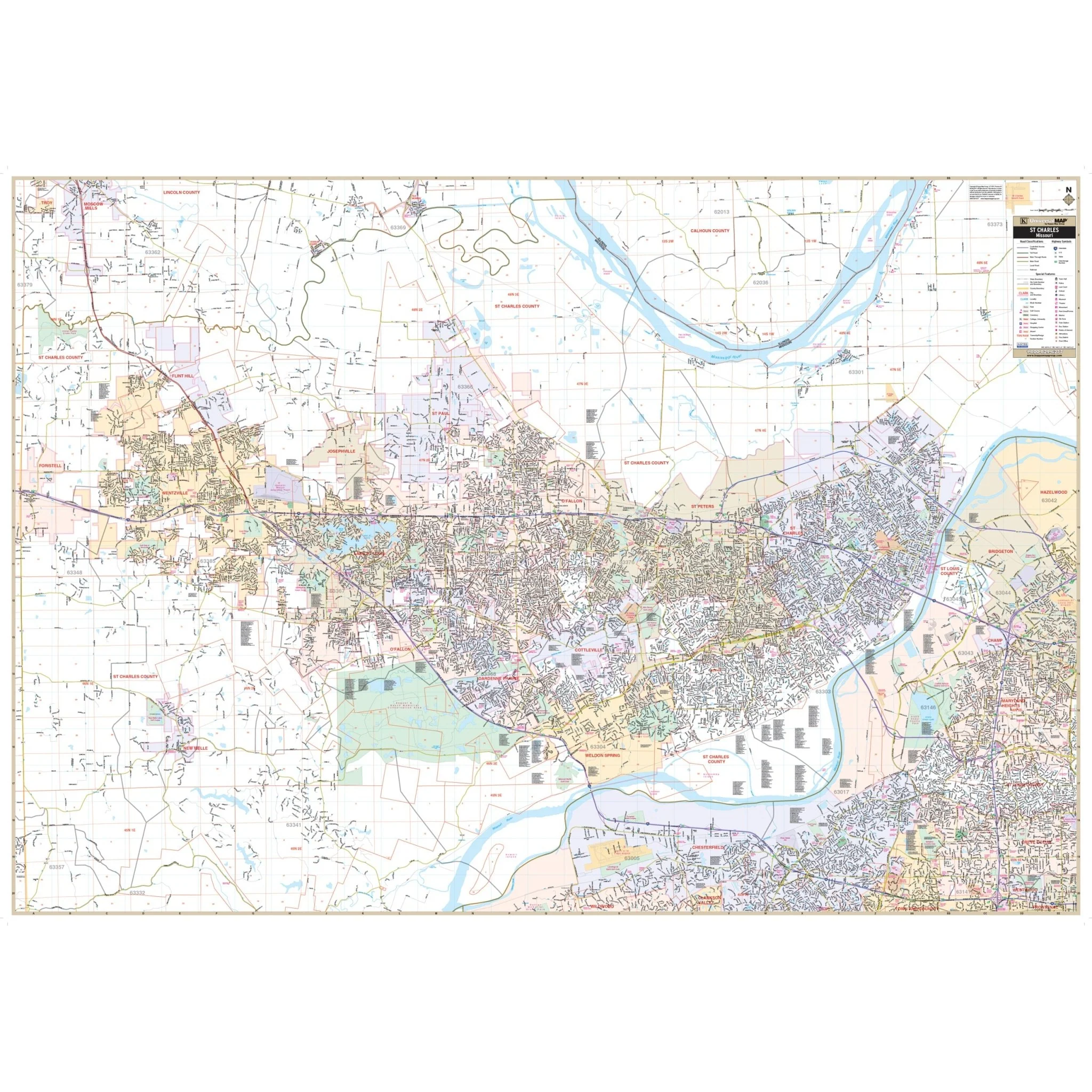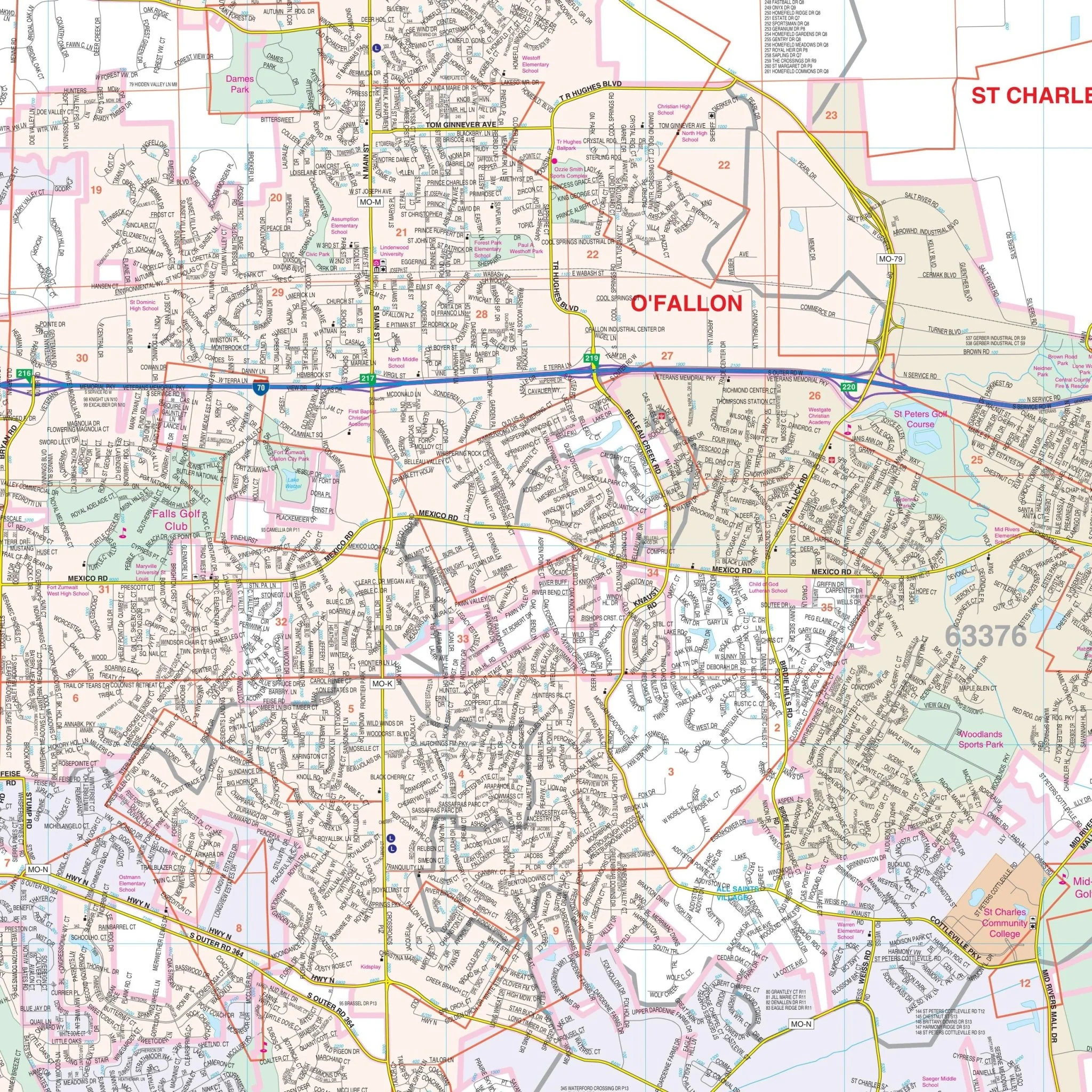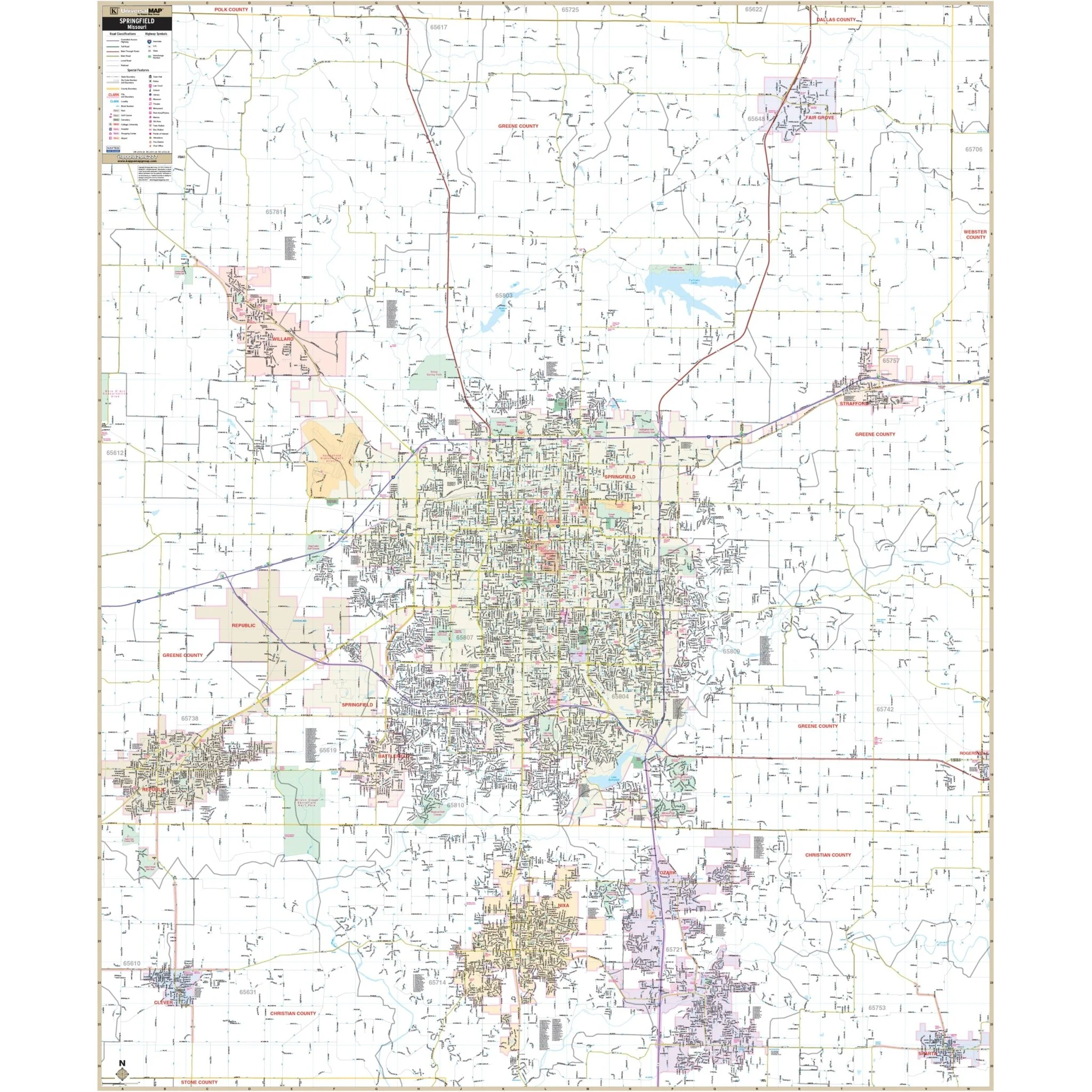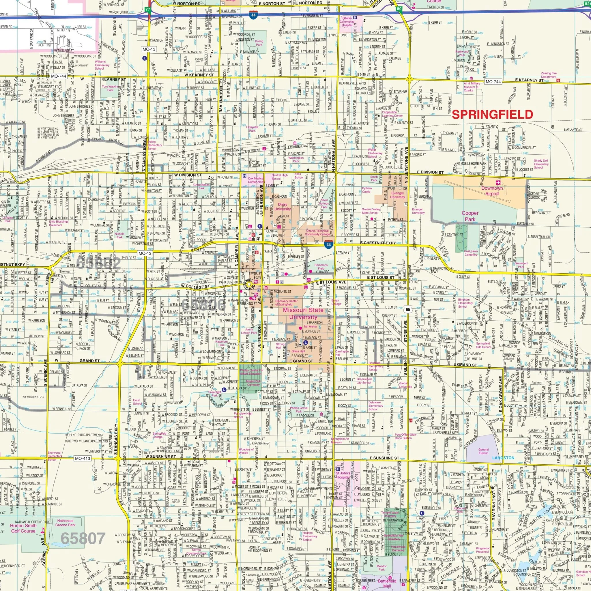


Columbia, MO Wall Map
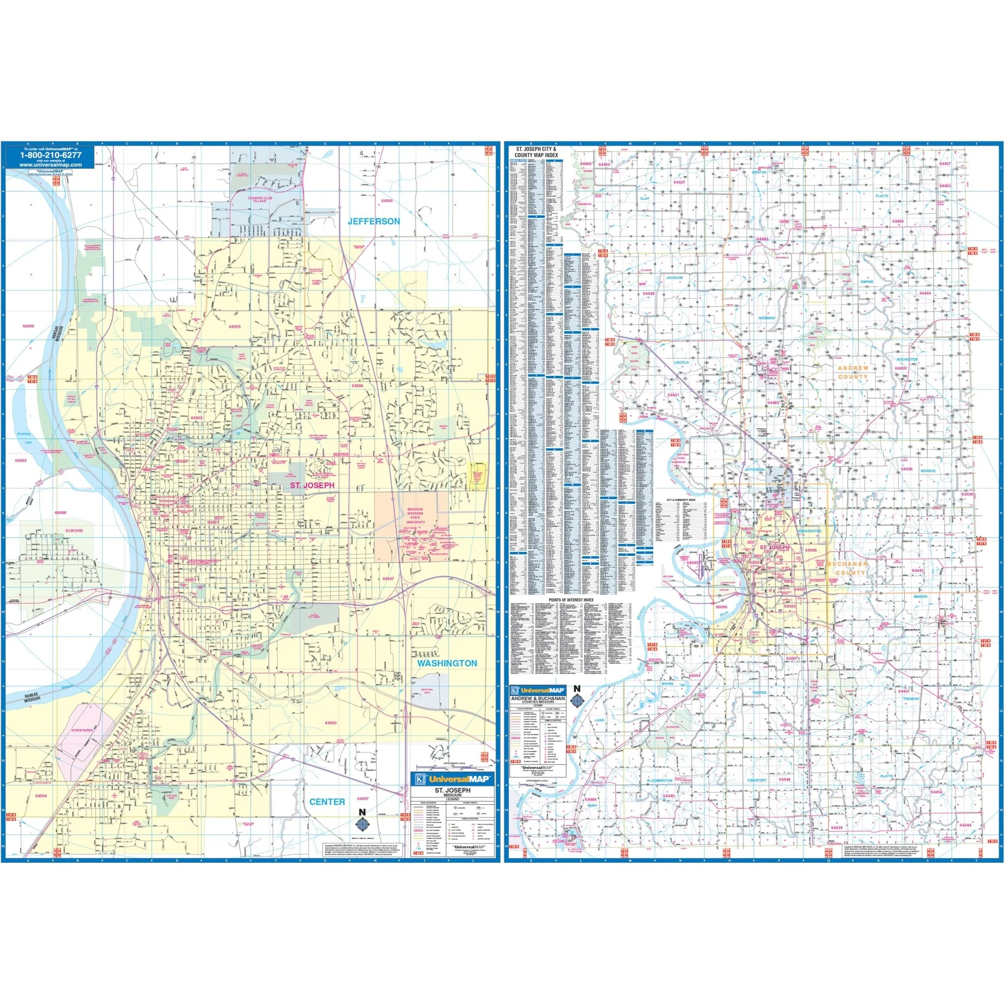
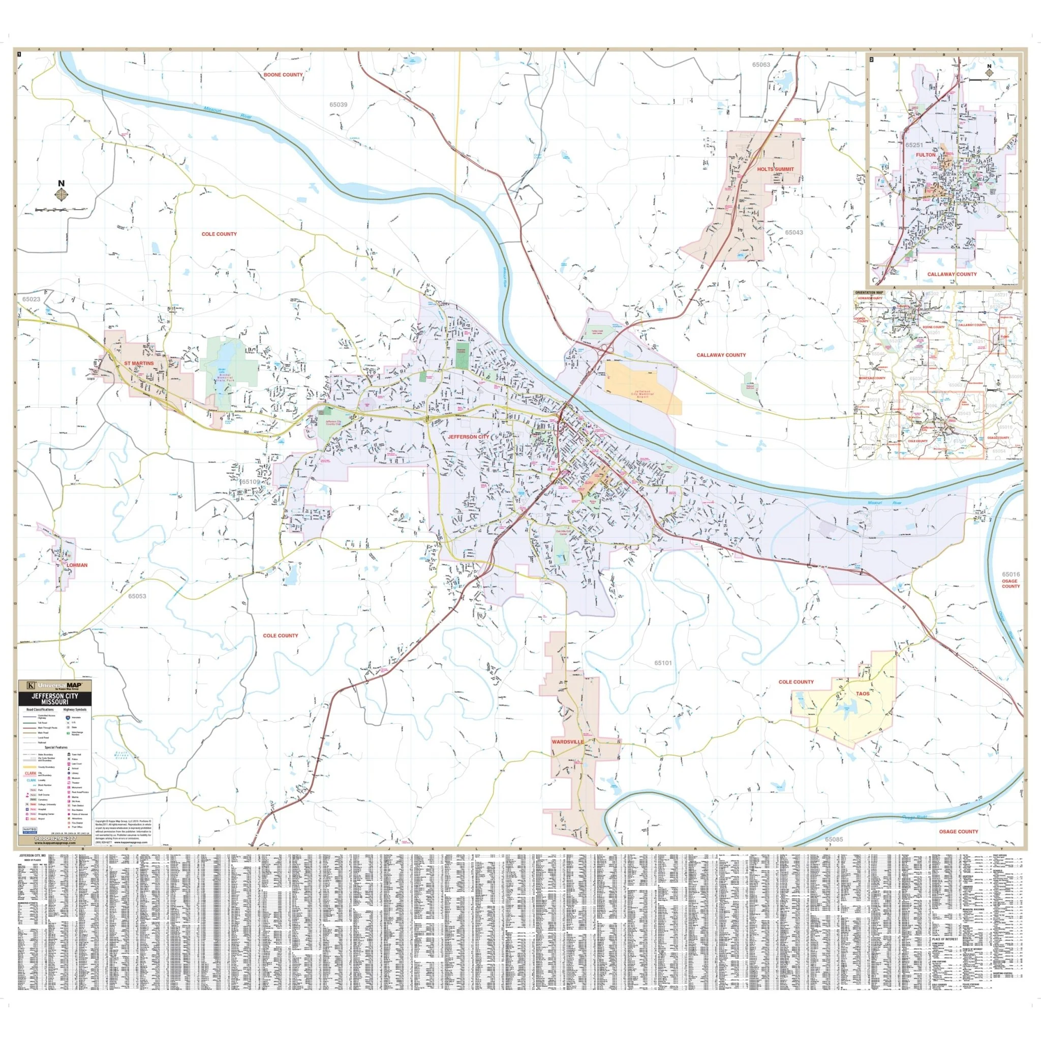
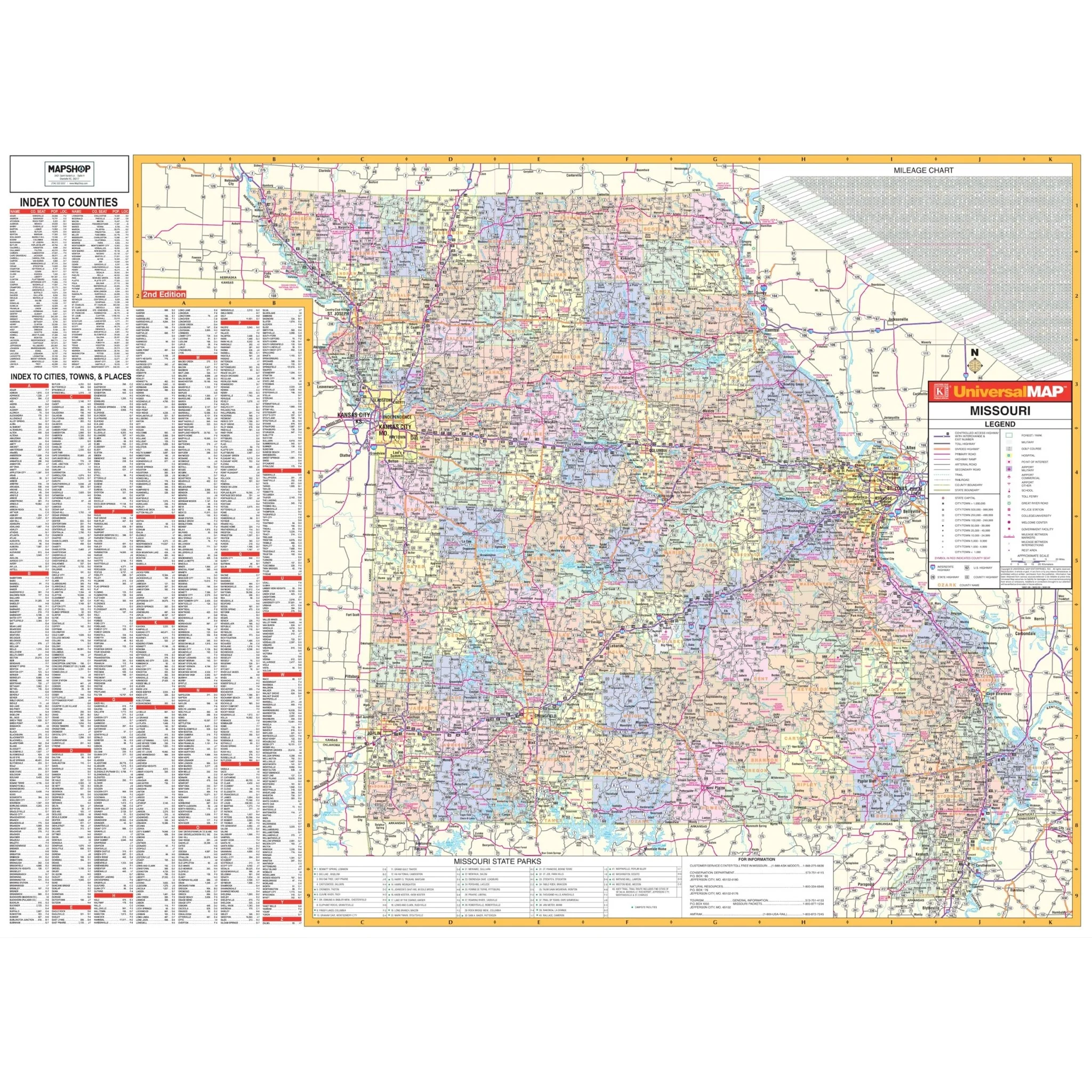
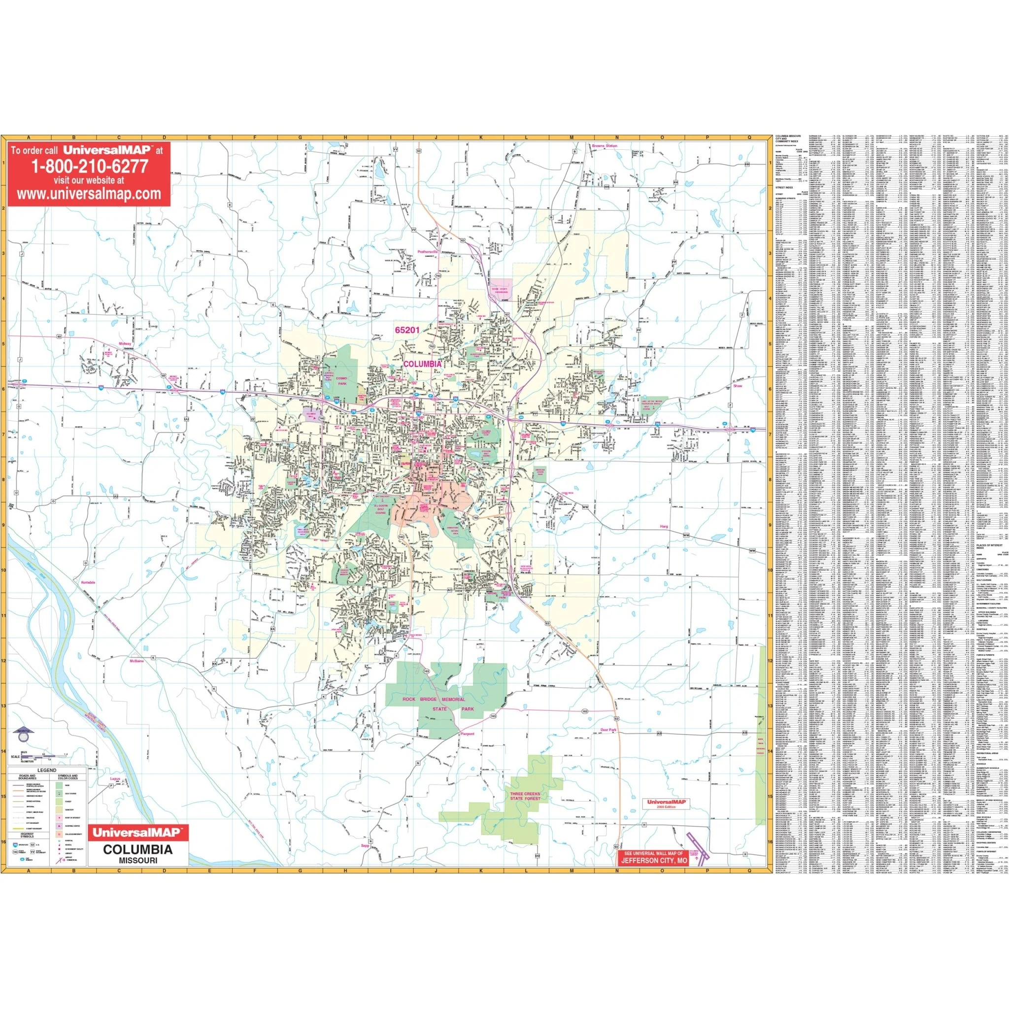
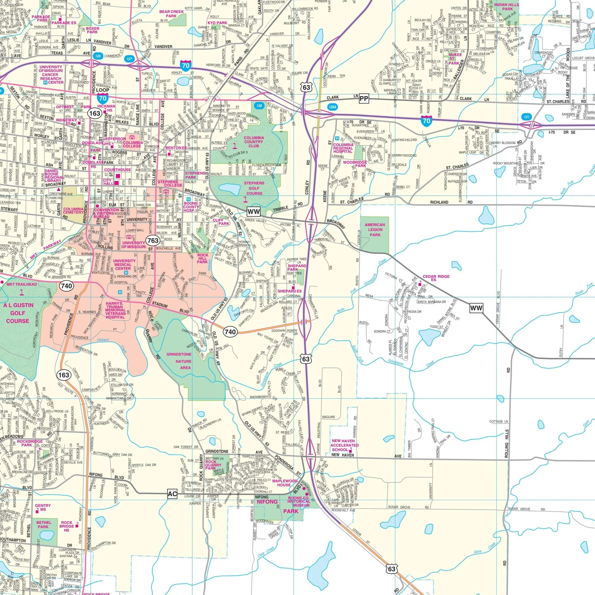
The Columbia, Missouri Wall Map by Kappa Map Group features complete street detail with boundaries covering:
- North to Brown's Station
- South to Sapp and Three Creeks State Forest
- East to exit 133 of I-70
- West to exit 117 of I-70
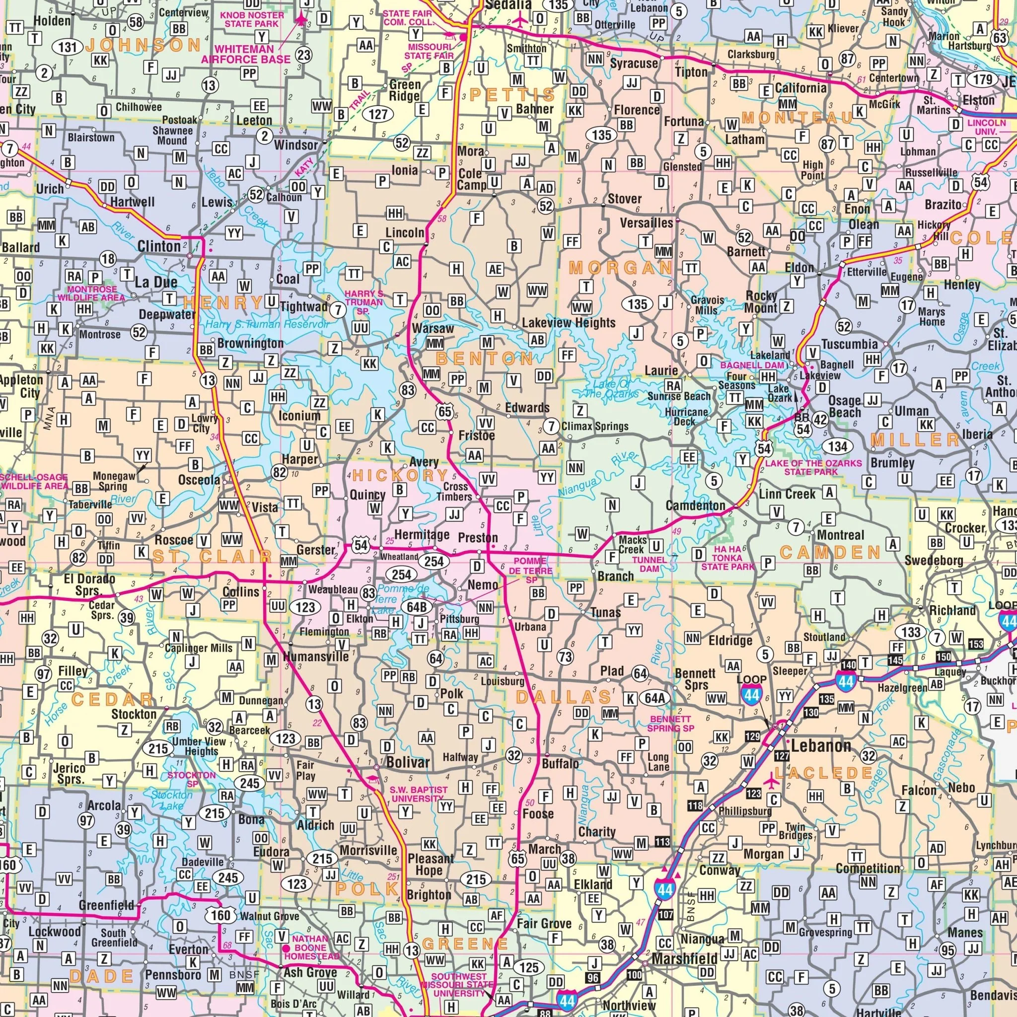
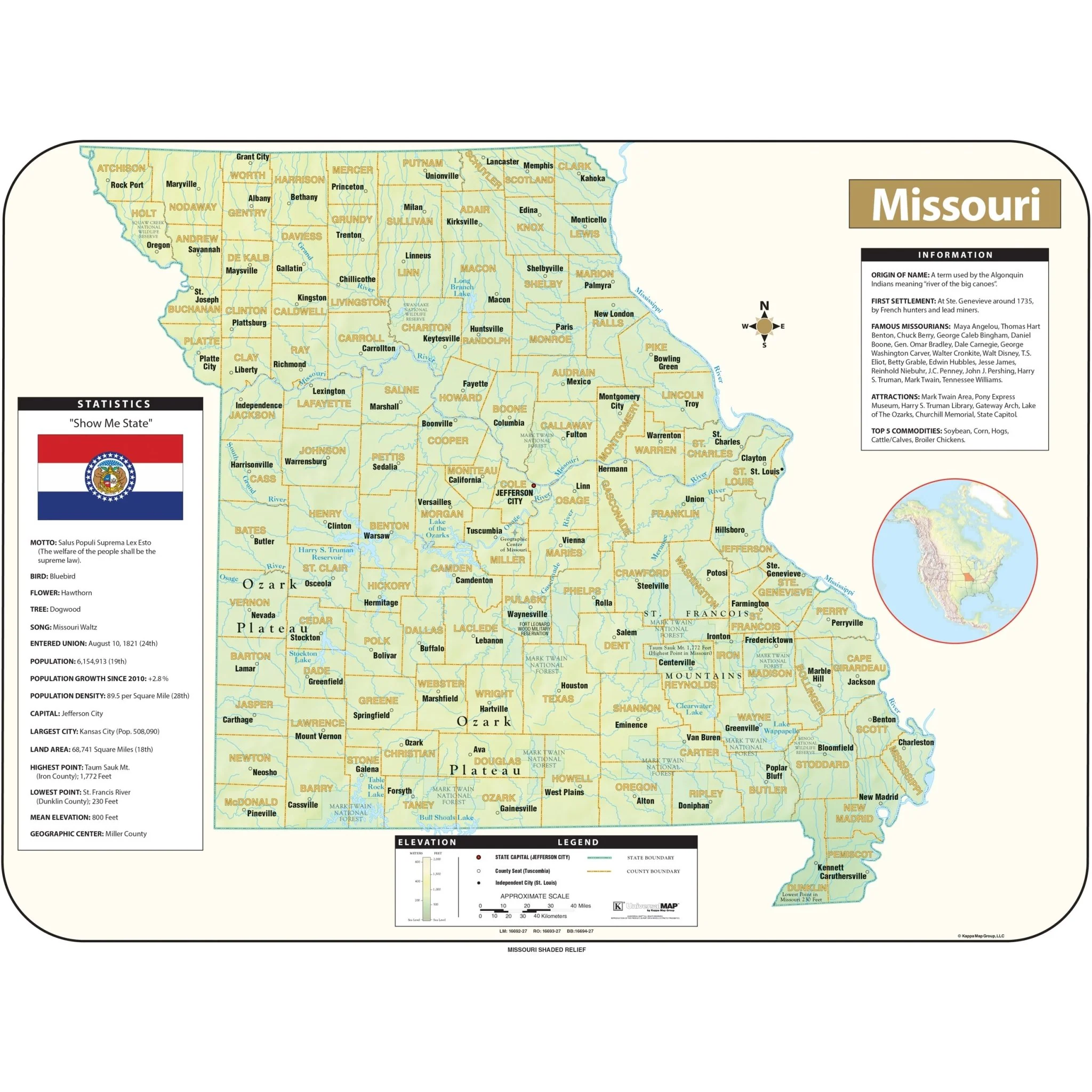
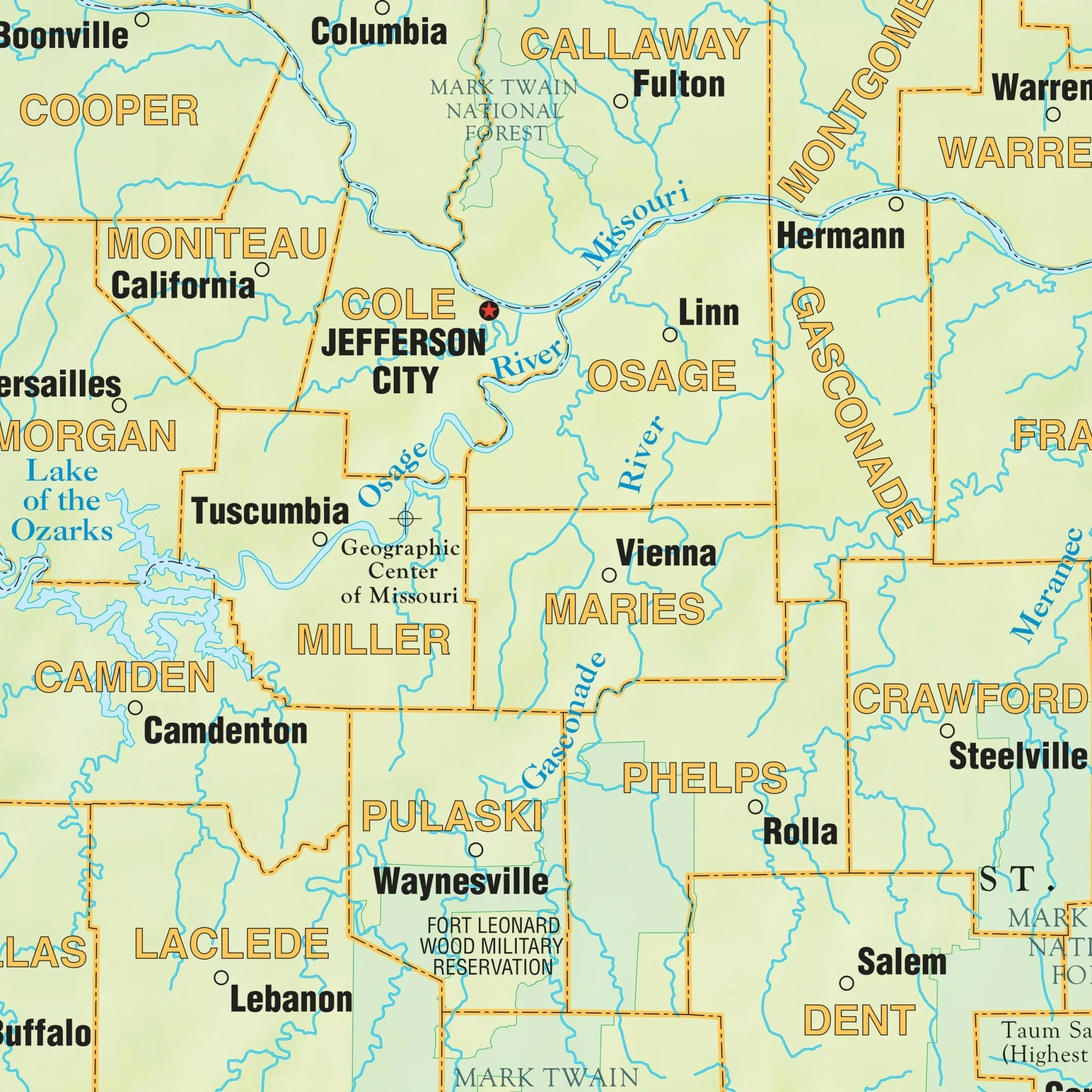
The map displays streets, highways, government buildings, airports, golf courses/country clubs, railroads, longitude/latitude lines, ZIP codes/boundaries, shopping centers, recreational parks, mileage circles, cemeteries, educational facilities, hospitals, post offices, city limits and annexations, fire/police stations, and various other points of interest. It measures 54 by 40 inches and is indexed on the face of the map.
Size: 54" x 40"
Published: 2012
Original: $99.99
-70%$99.99
$30.00Product Information
Product Information
Shipping & Returns
Shipping & Returns
Description
The Columbia, Missouri Wall Map by Kappa Map Group features complete street detail with boundaries covering:
- North to Brown's Station
- South to Sapp and Three Creeks State Forest
- East to exit 133 of I-70
- West to exit 117 of I-70
The map displays streets, highways, government buildings, airports, golf courses/country clubs, railroads, longitude/latitude lines, ZIP codes/boundaries, shopping centers, recreational parks, mileage circles, cemeteries, educational facilities, hospitals, post offices, city limits and annexations, fire/police stations, and various other points of interest. It measures 54 by 40 inches and is indexed on the face of the map.
Size: 54" x 40"
Published: 2012