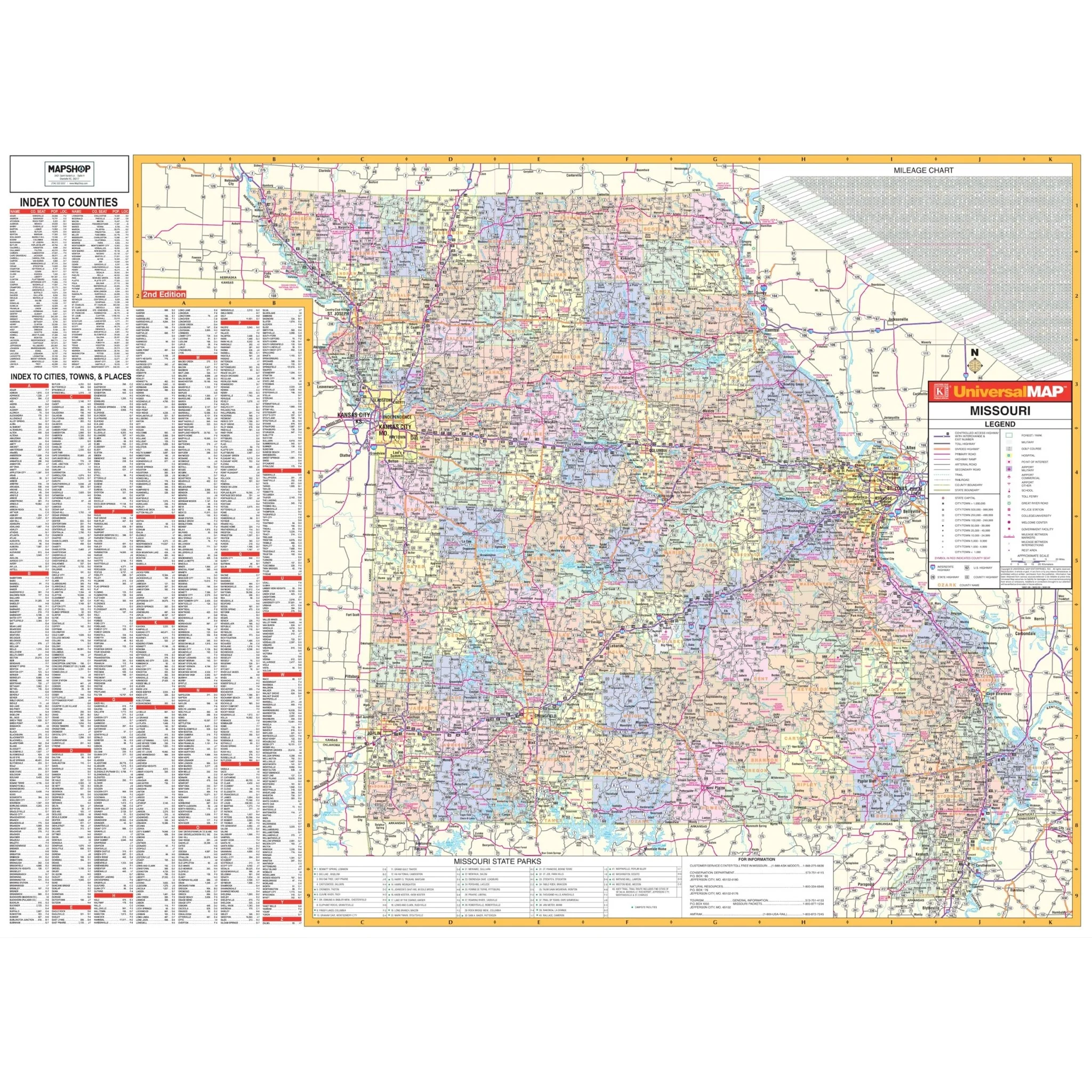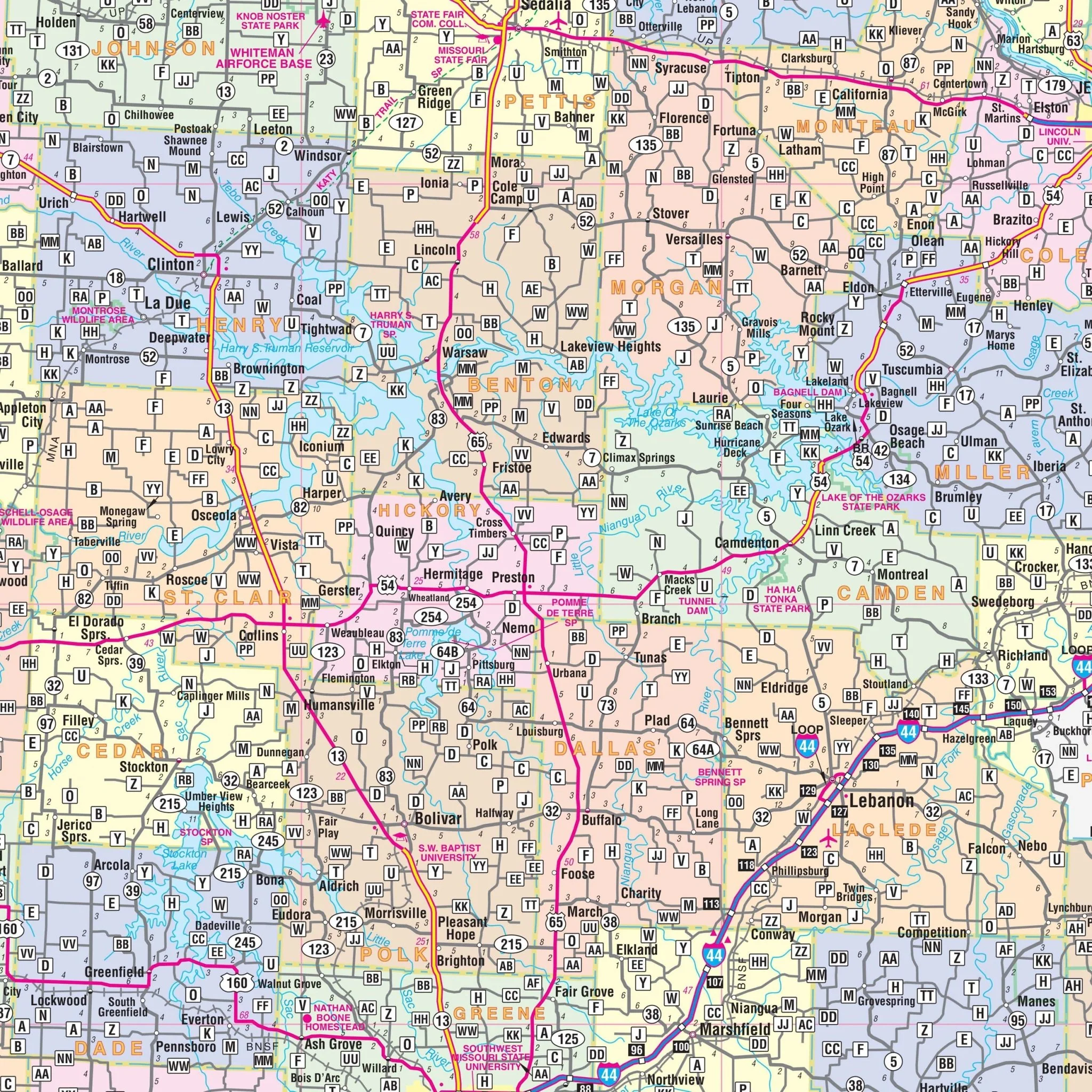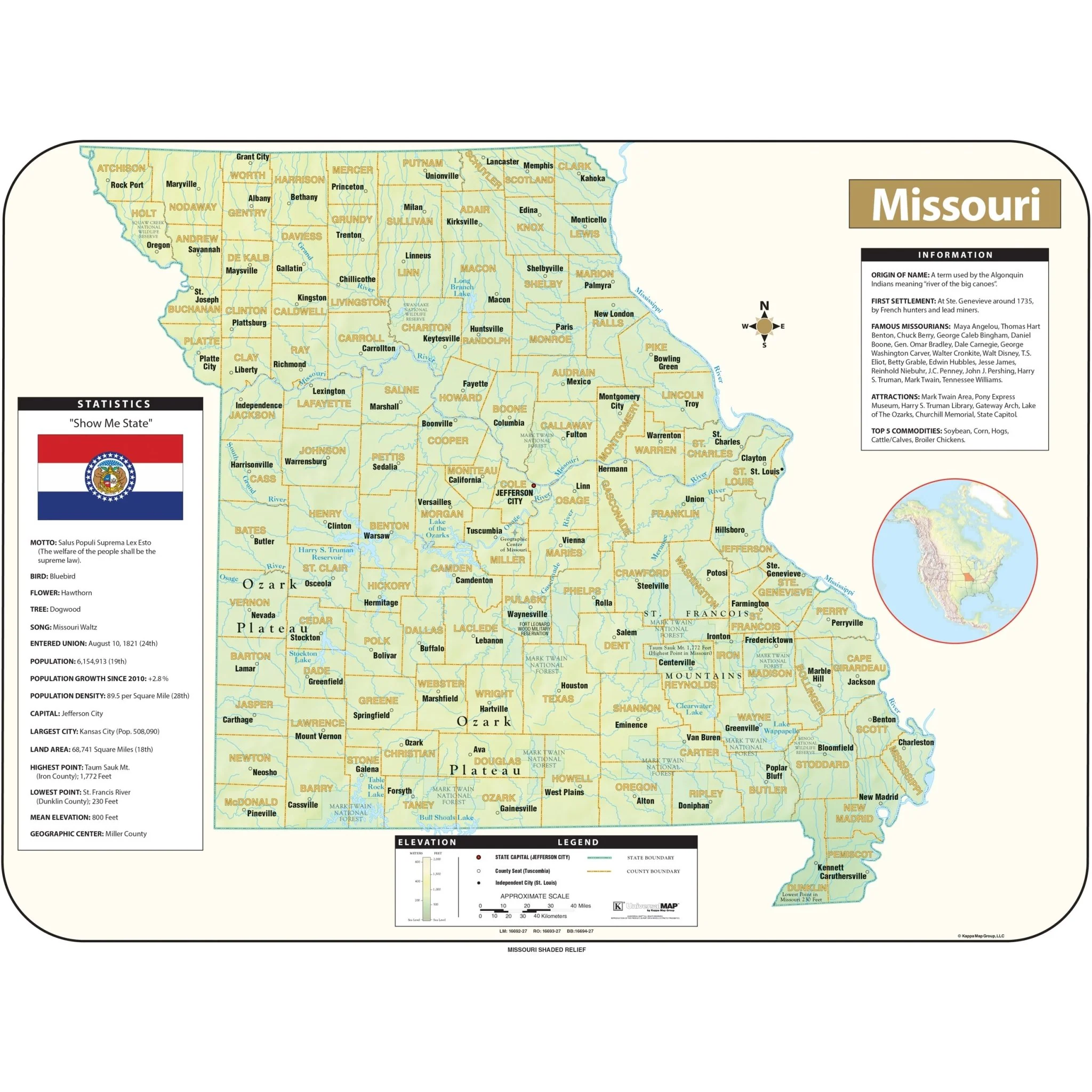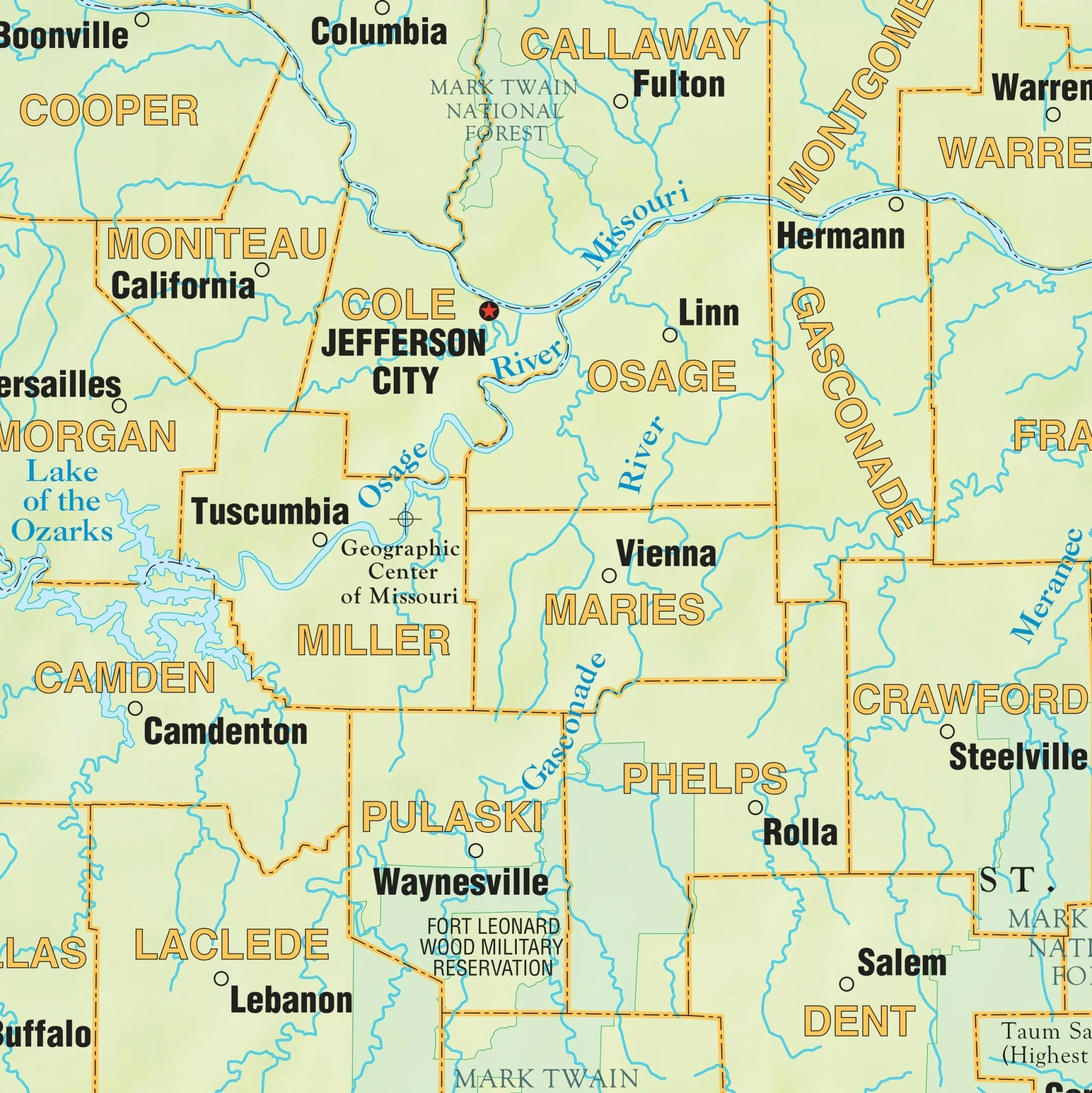


Springfield, MO Wall Map
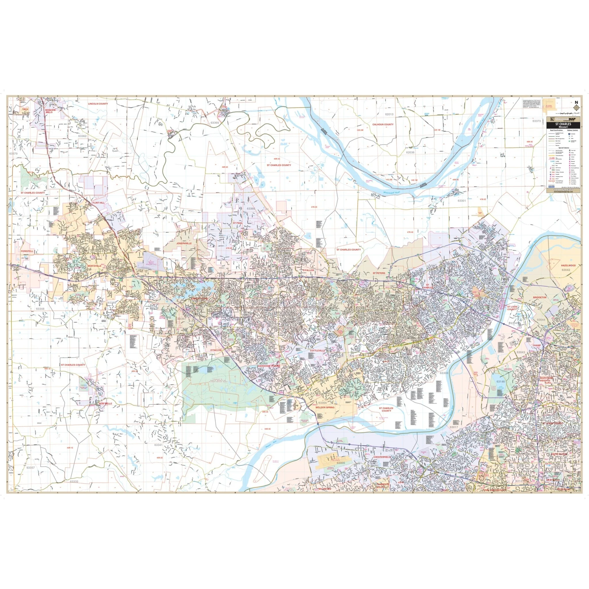
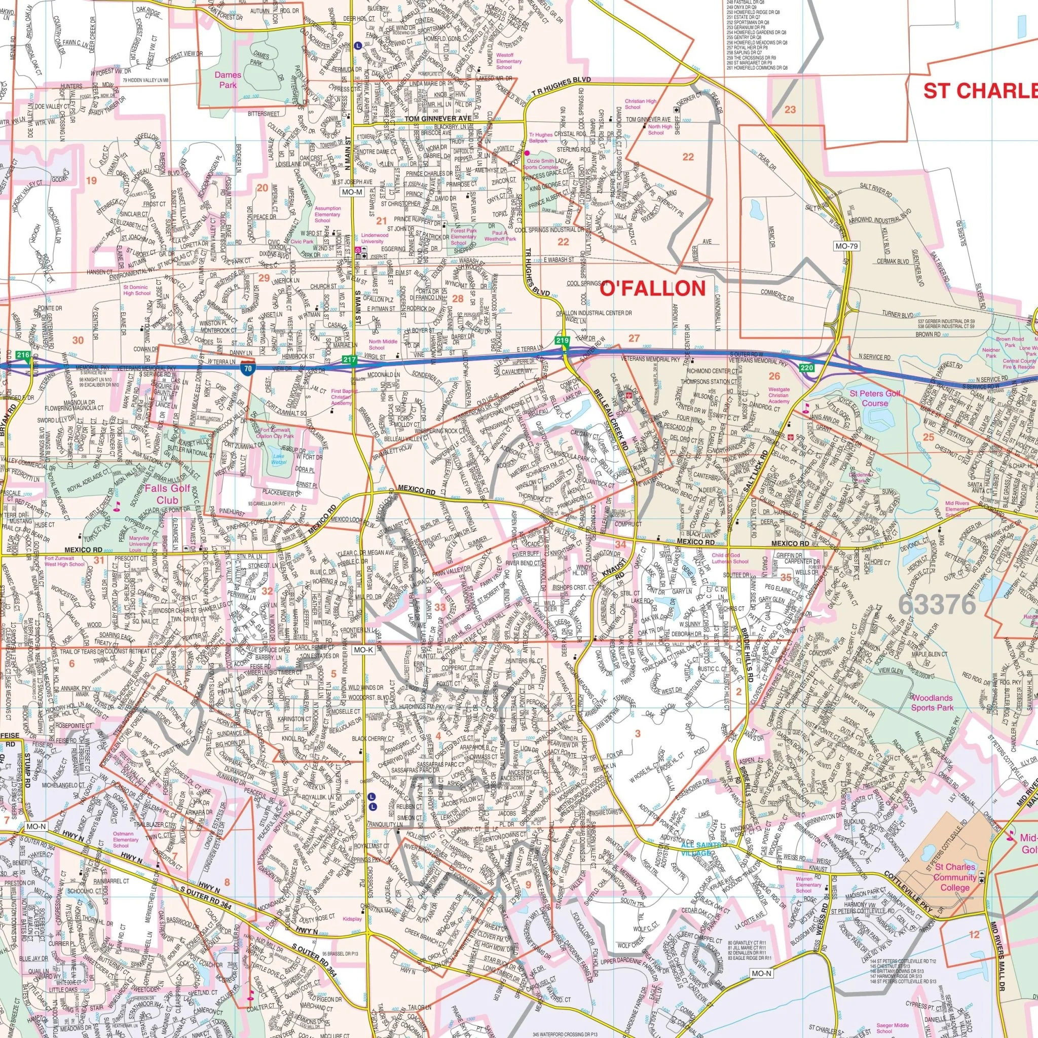
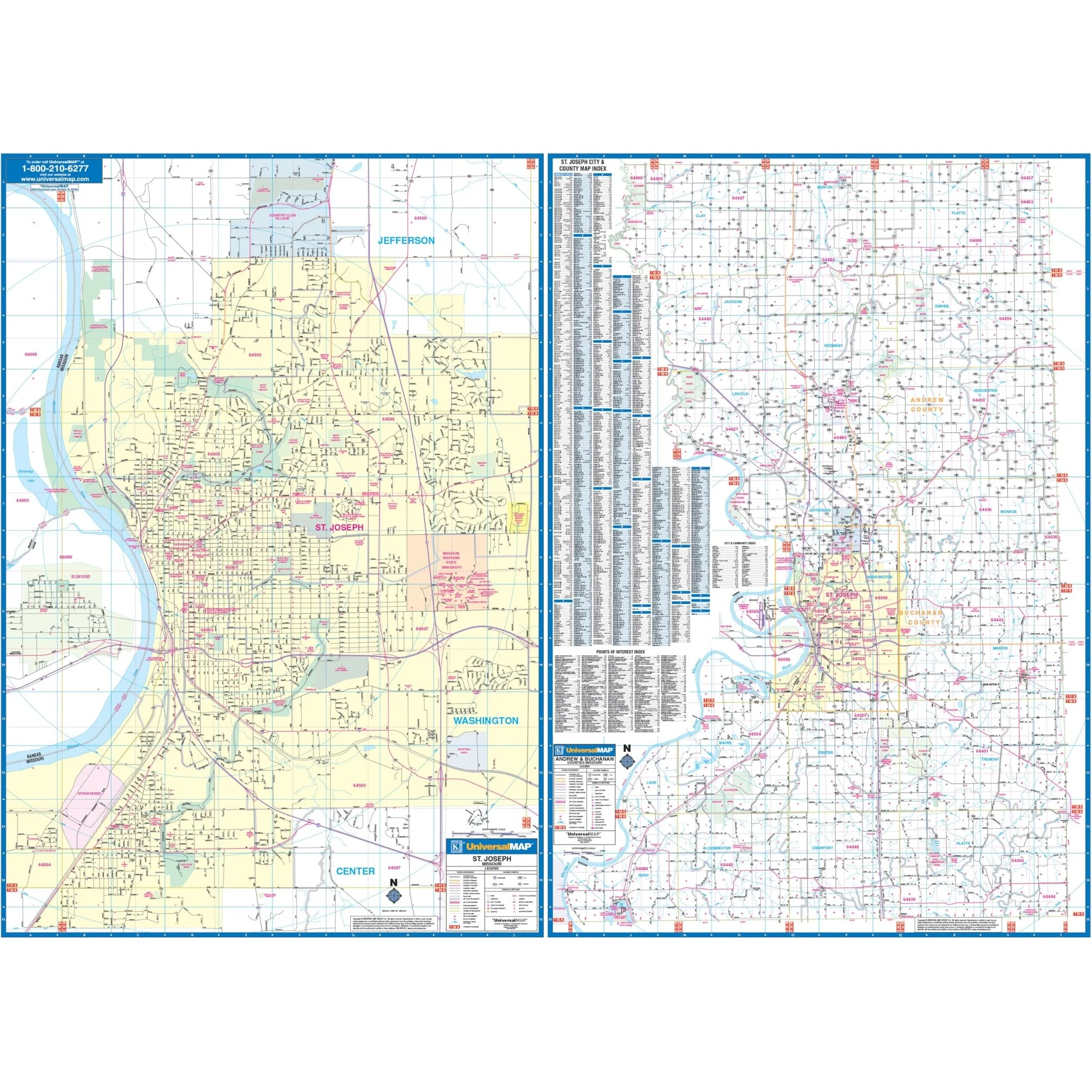
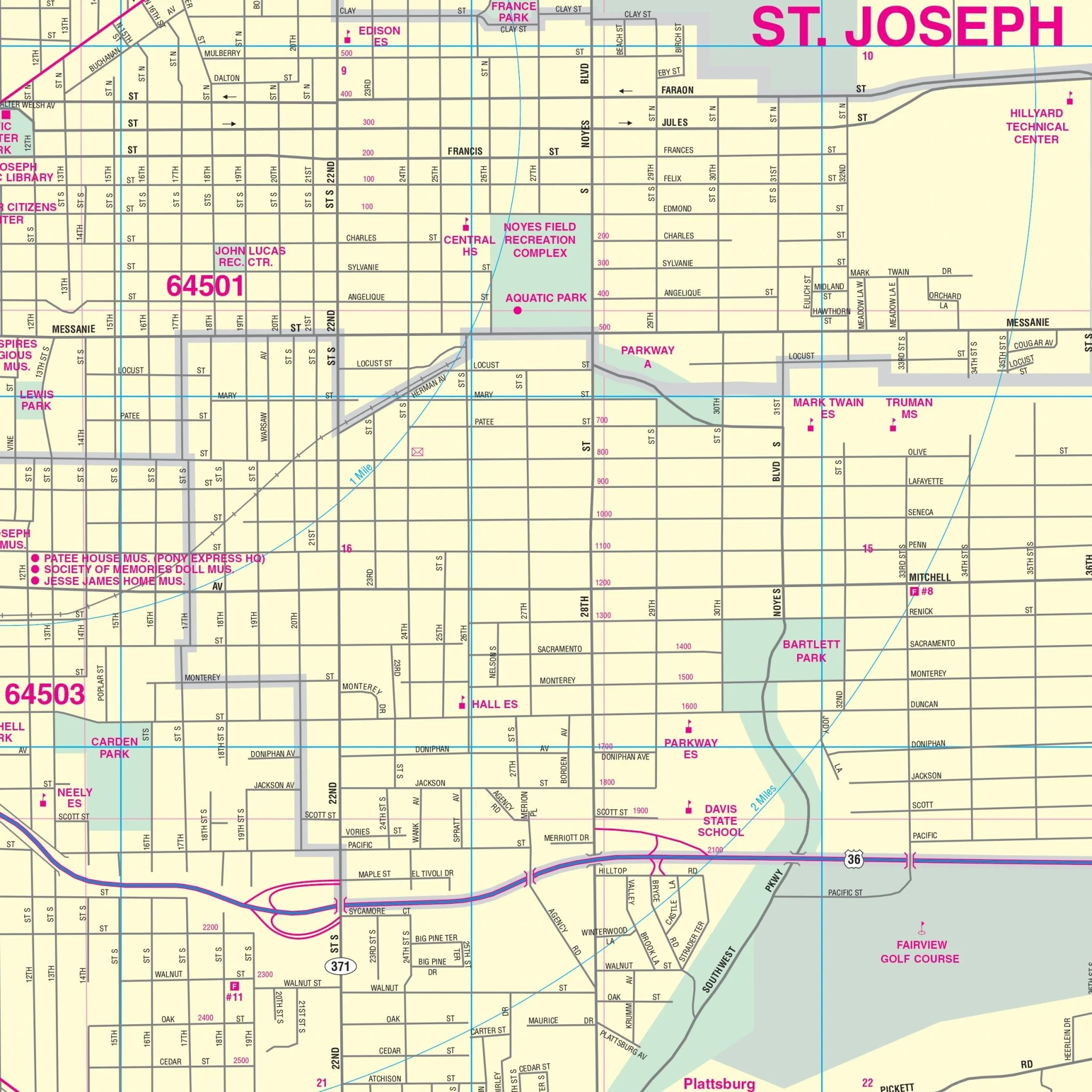
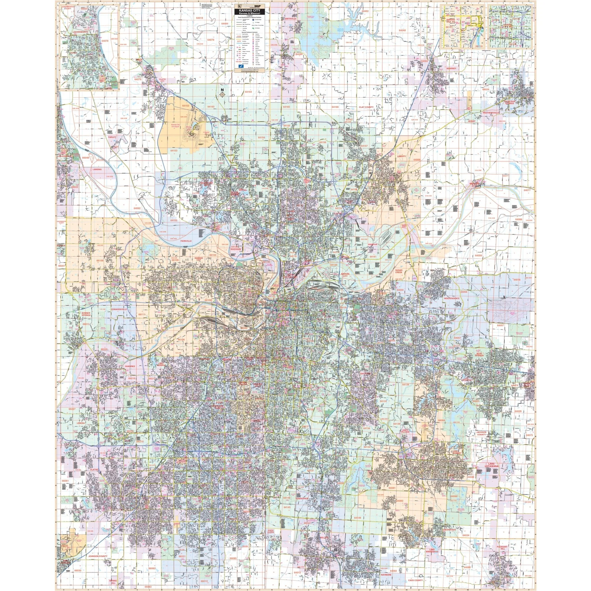
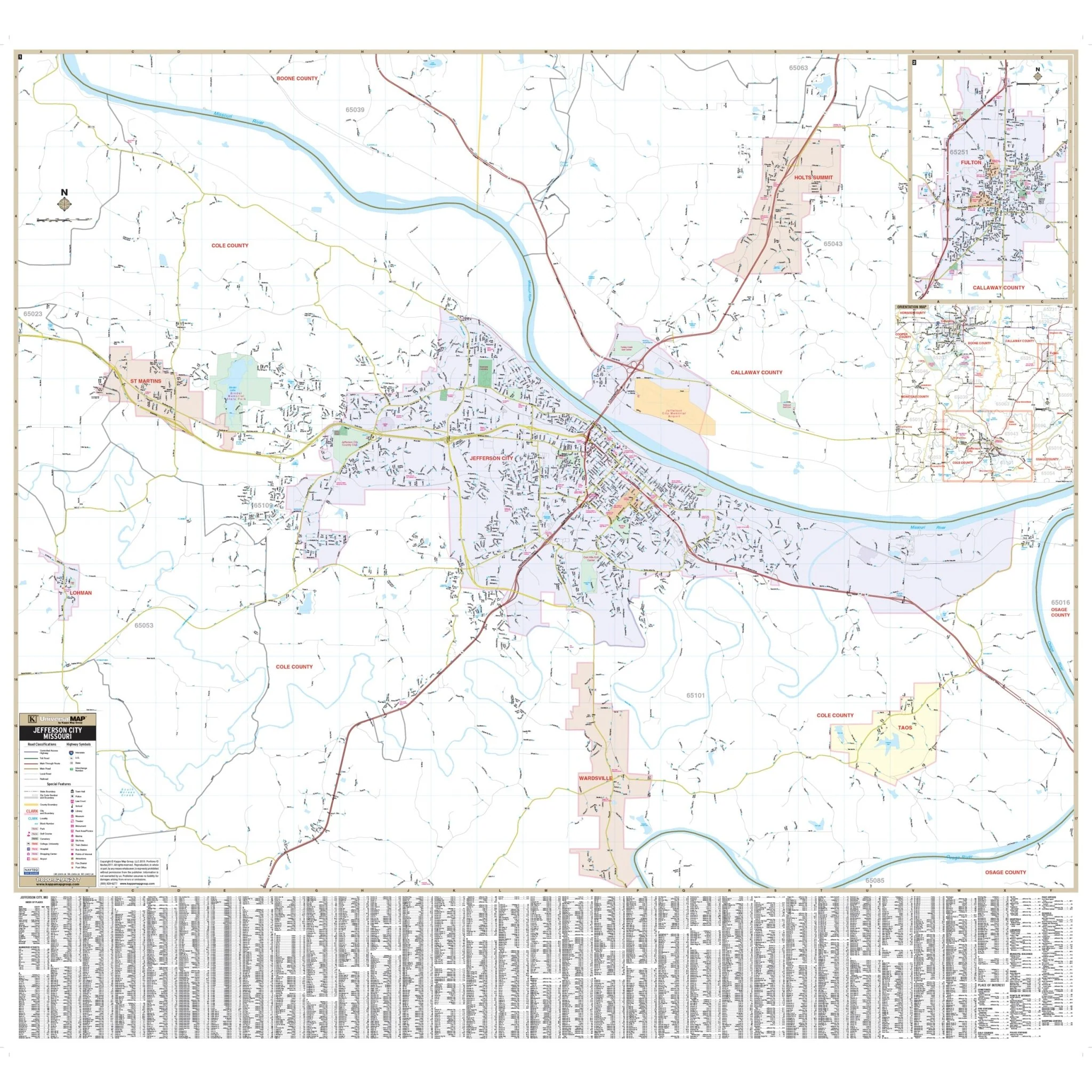
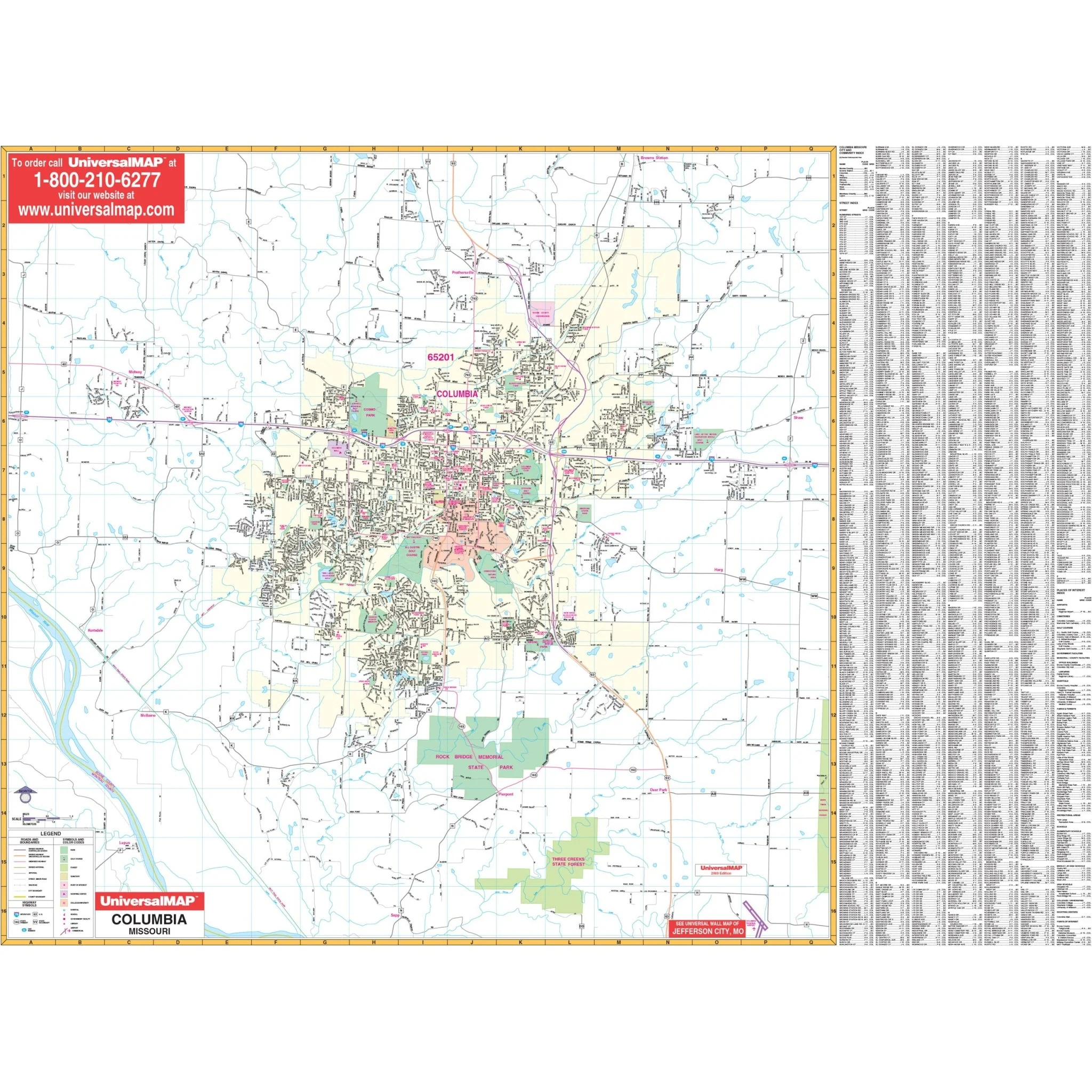
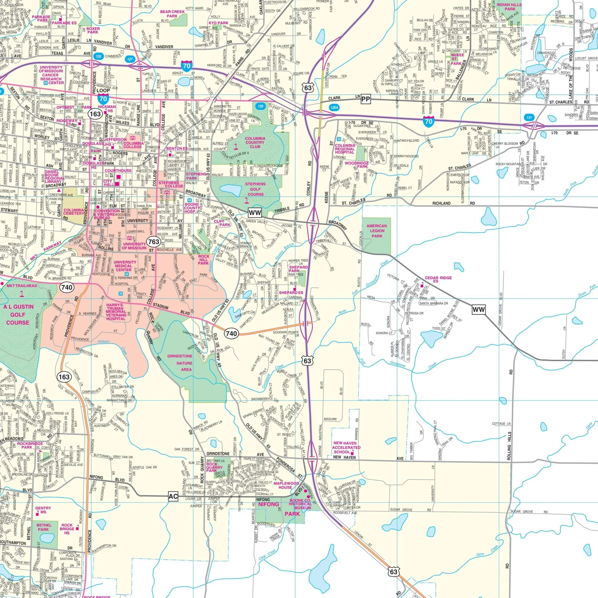
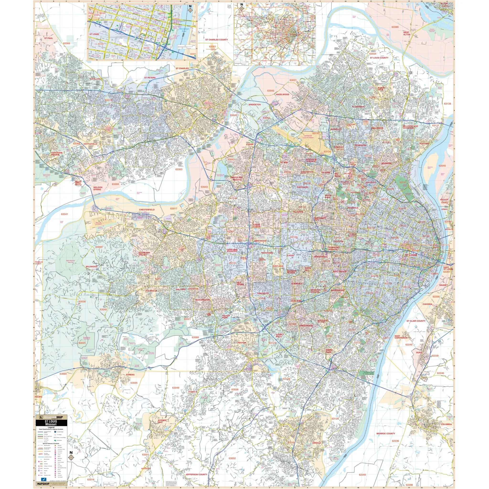
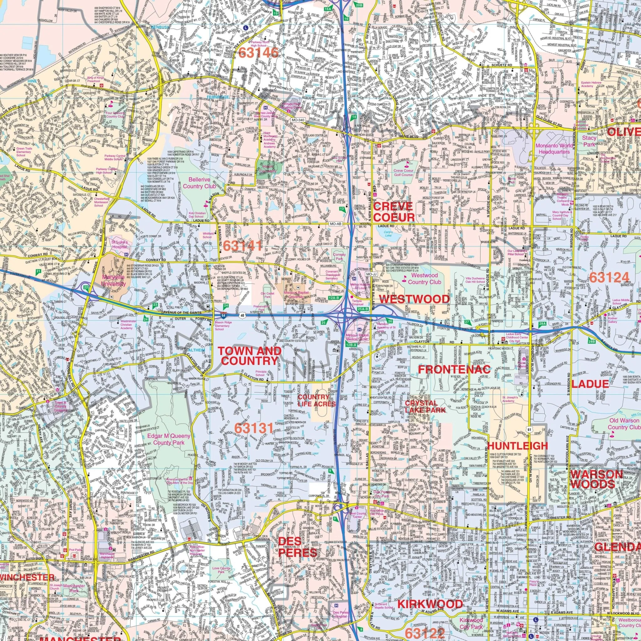
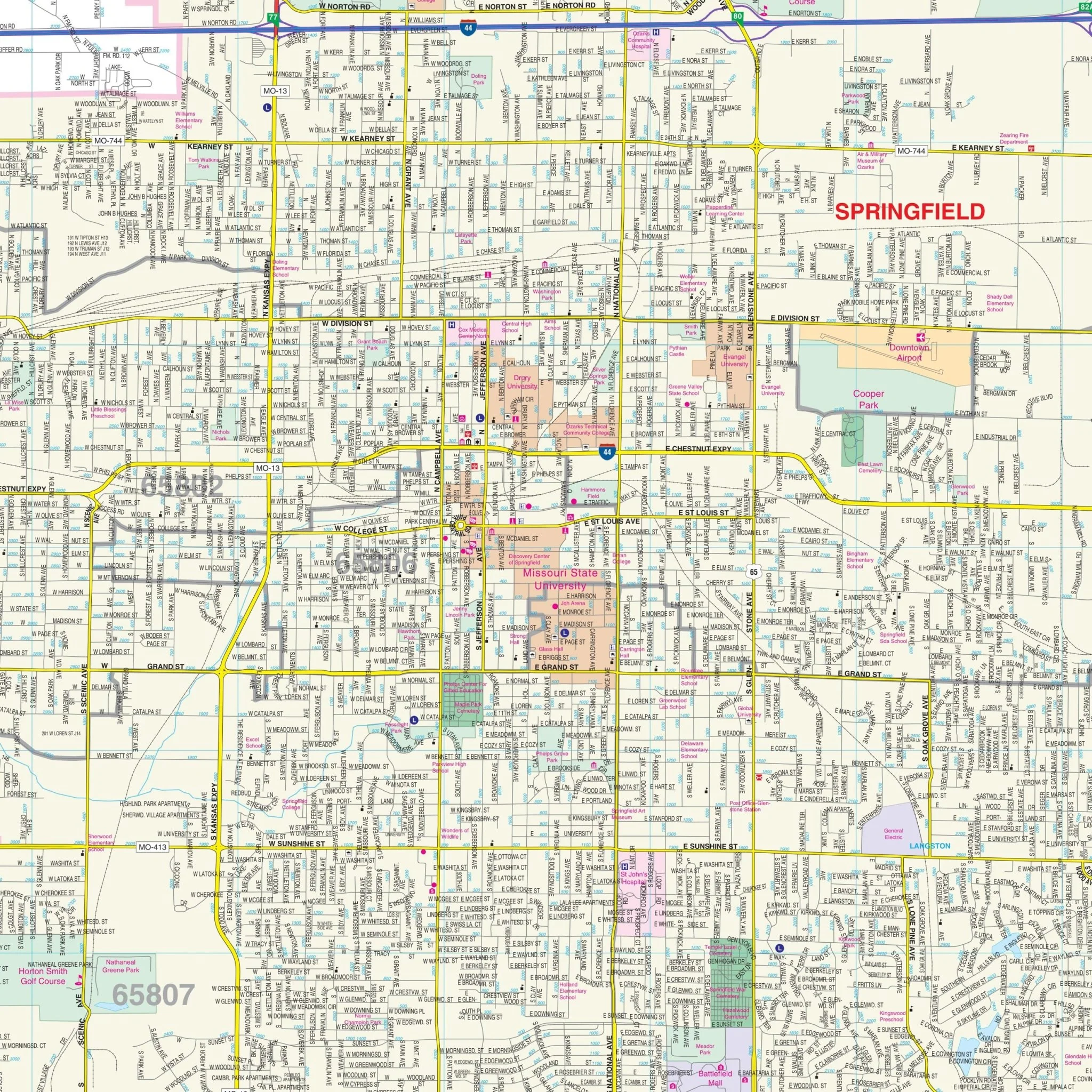
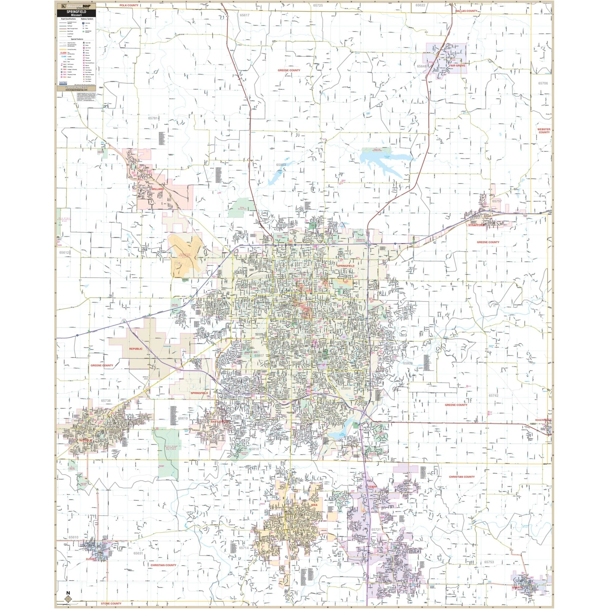
The Springfield, MO Wall Map published by Kappa Map Group provides complete street detail. The area of coverage includes:
- North to the Dallas County Line
- South to include all of Nixa and Ozark in Christian County
- East to the Webster County Line
- West to include all of the City of Republic
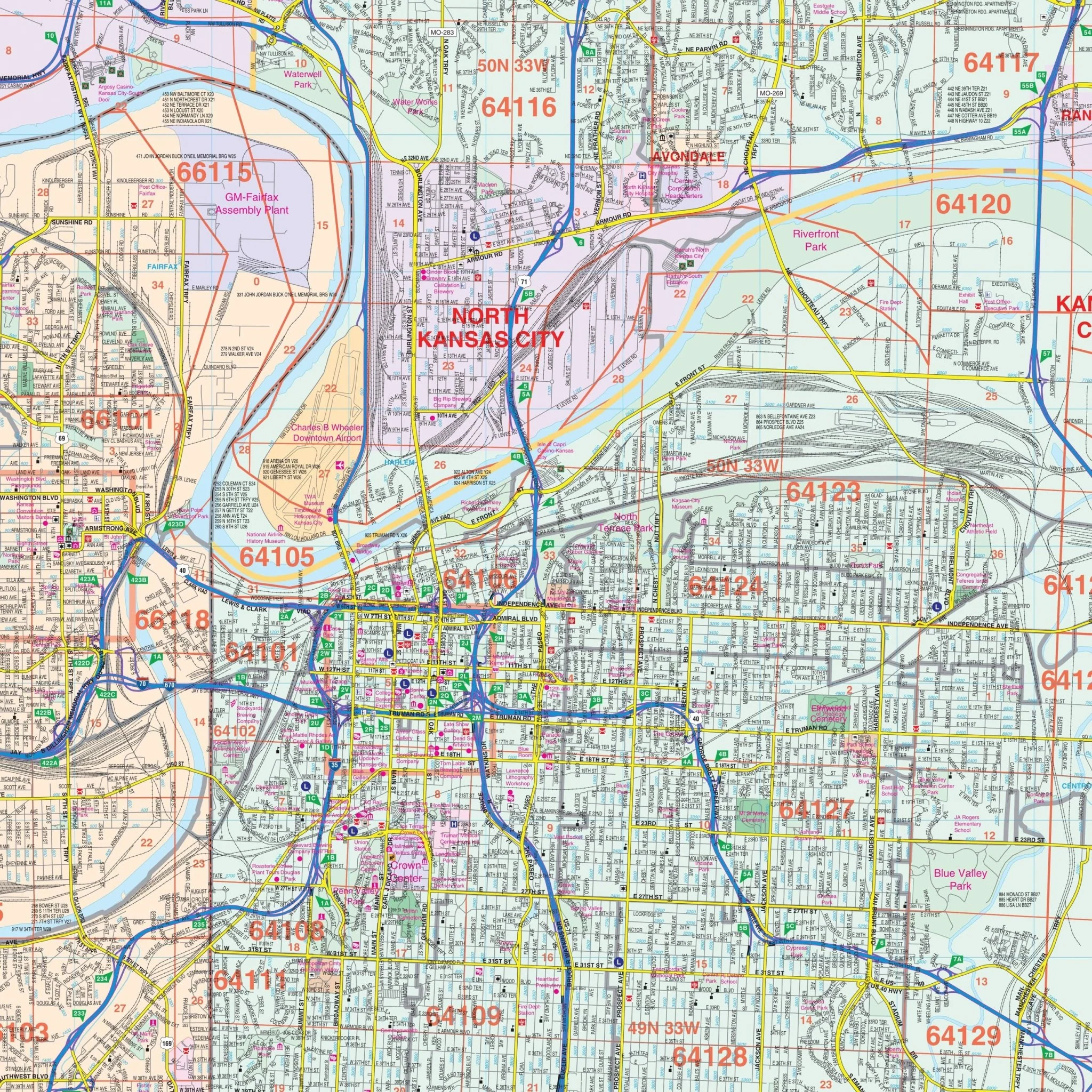
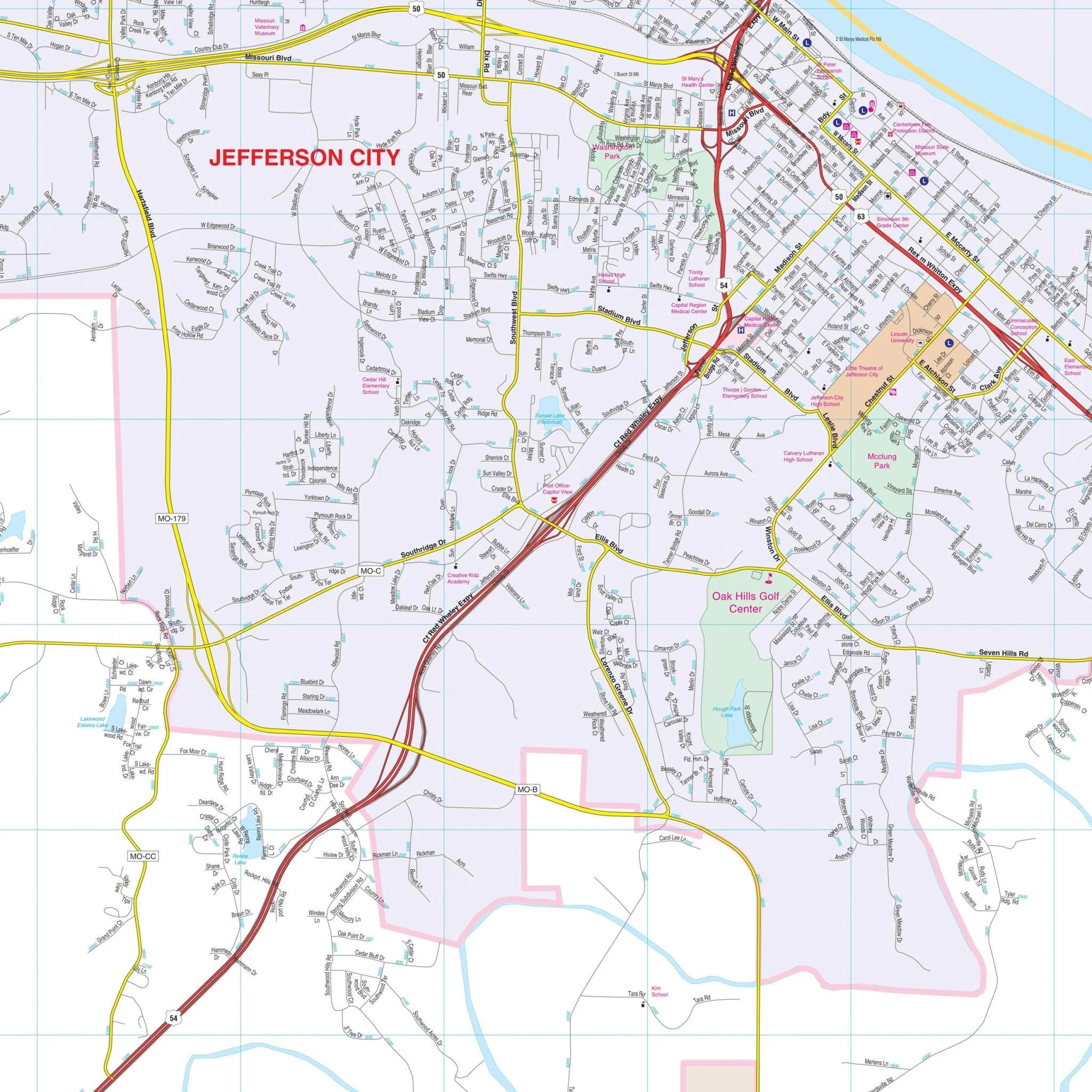
Details on the map encompass all streets and highways, post offices, hospitals, railroads, airports, cemeteries, shopping centers, water features, recreational parks, city limits (color-coded), block numbers, educational institutions, government buildings, fire/police stations, educational facilities, golf/country clubs, ZIP codes and boundaries, and points of interest.
Size: 56.5" x 68.5"
Published: 2013
Original: $149.99
-70%$149.99
$45.00Product Information
Product Information
Shipping & Returns
Shipping & Returns
Description
The Springfield, MO Wall Map published by Kappa Map Group provides complete street detail. The area of coverage includes:
- North to the Dallas County Line
- South to include all of Nixa and Ozark in Christian County
- East to the Webster County Line
- West to include all of the City of Republic
Details on the map encompass all streets and highways, post offices, hospitals, railroads, airports, cemeteries, shopping centers, water features, recreational parks, city limits (color-coded), block numbers, educational institutions, government buildings, fire/police stations, educational facilities, golf/country clubs, ZIP codes and boundaries, and points of interest.
Size: 56.5" x 68.5"
Published: 2013