


St Louis, MO Wall Map
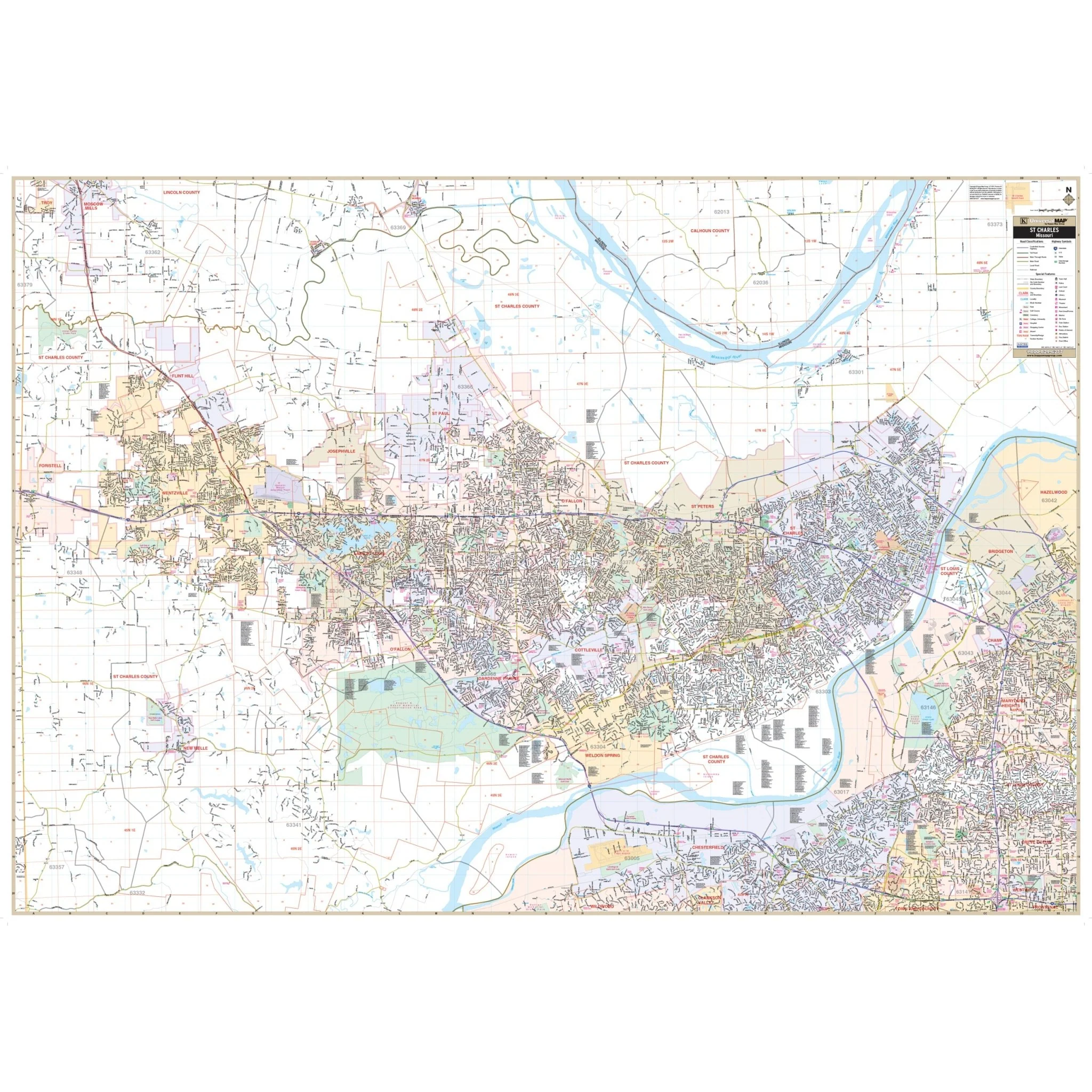
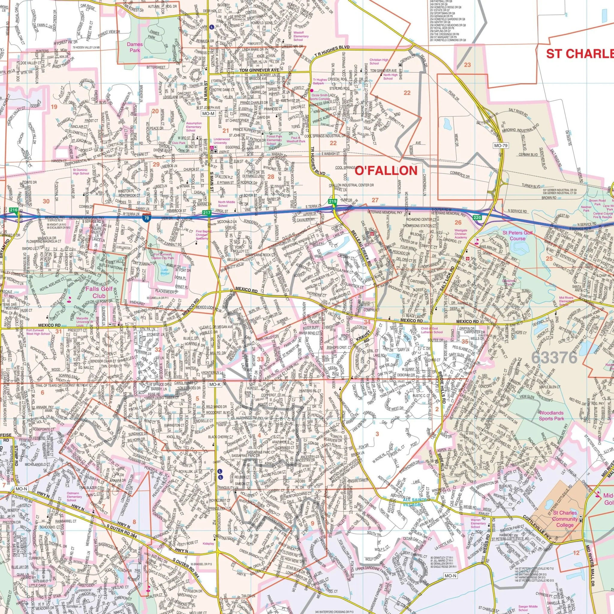
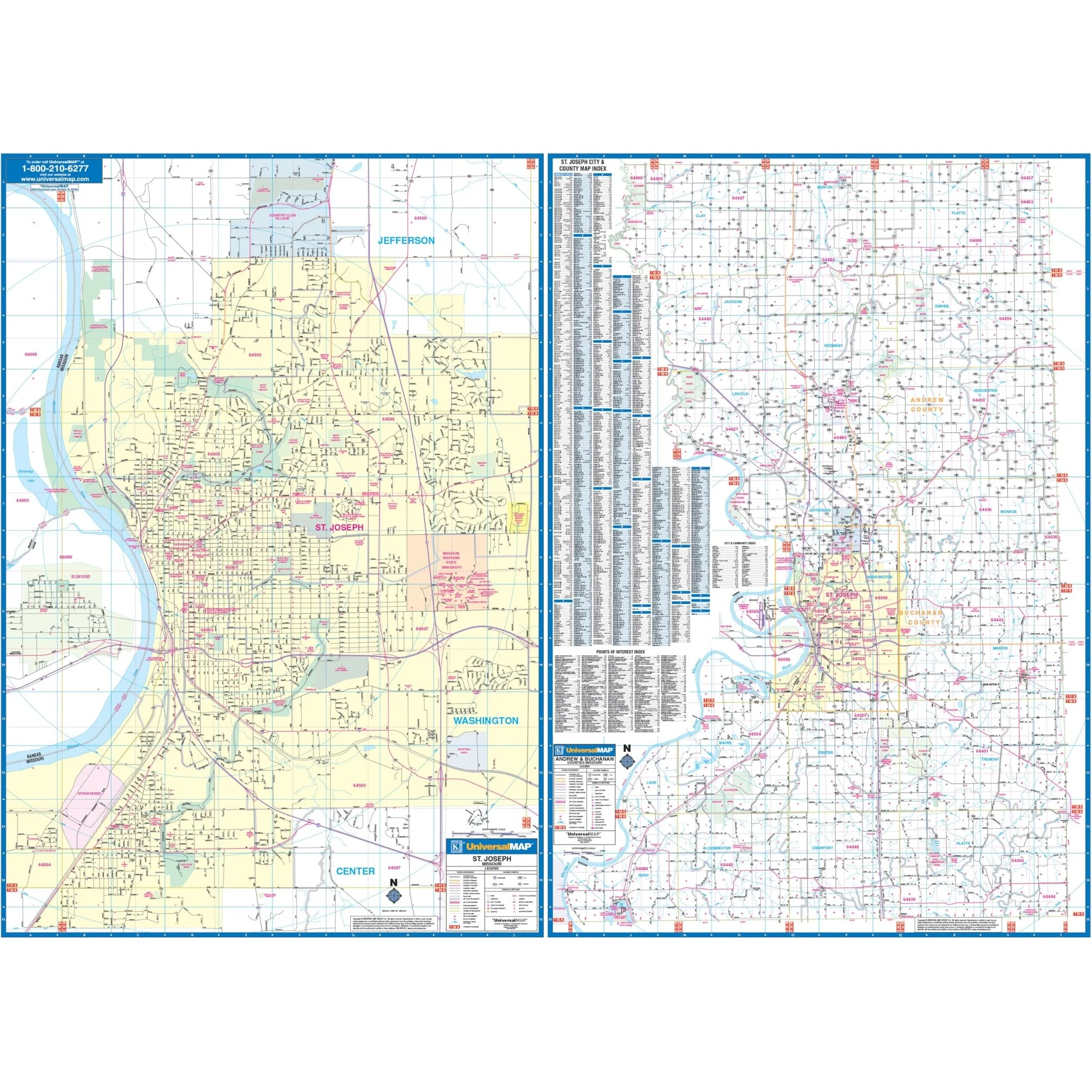
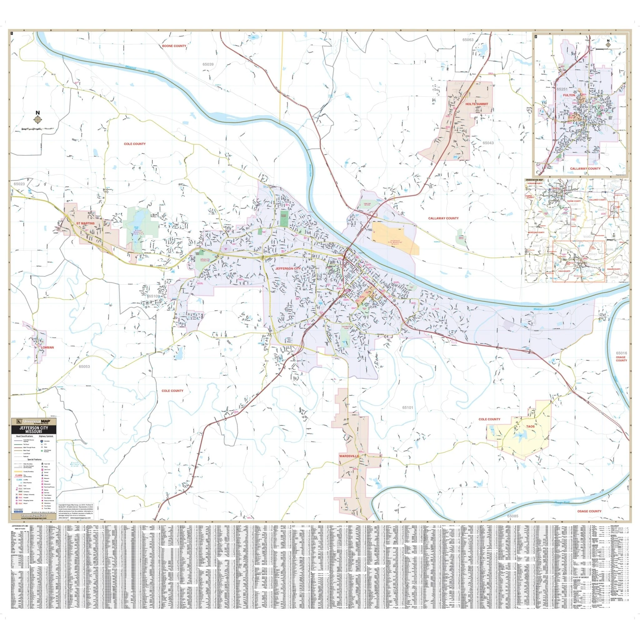
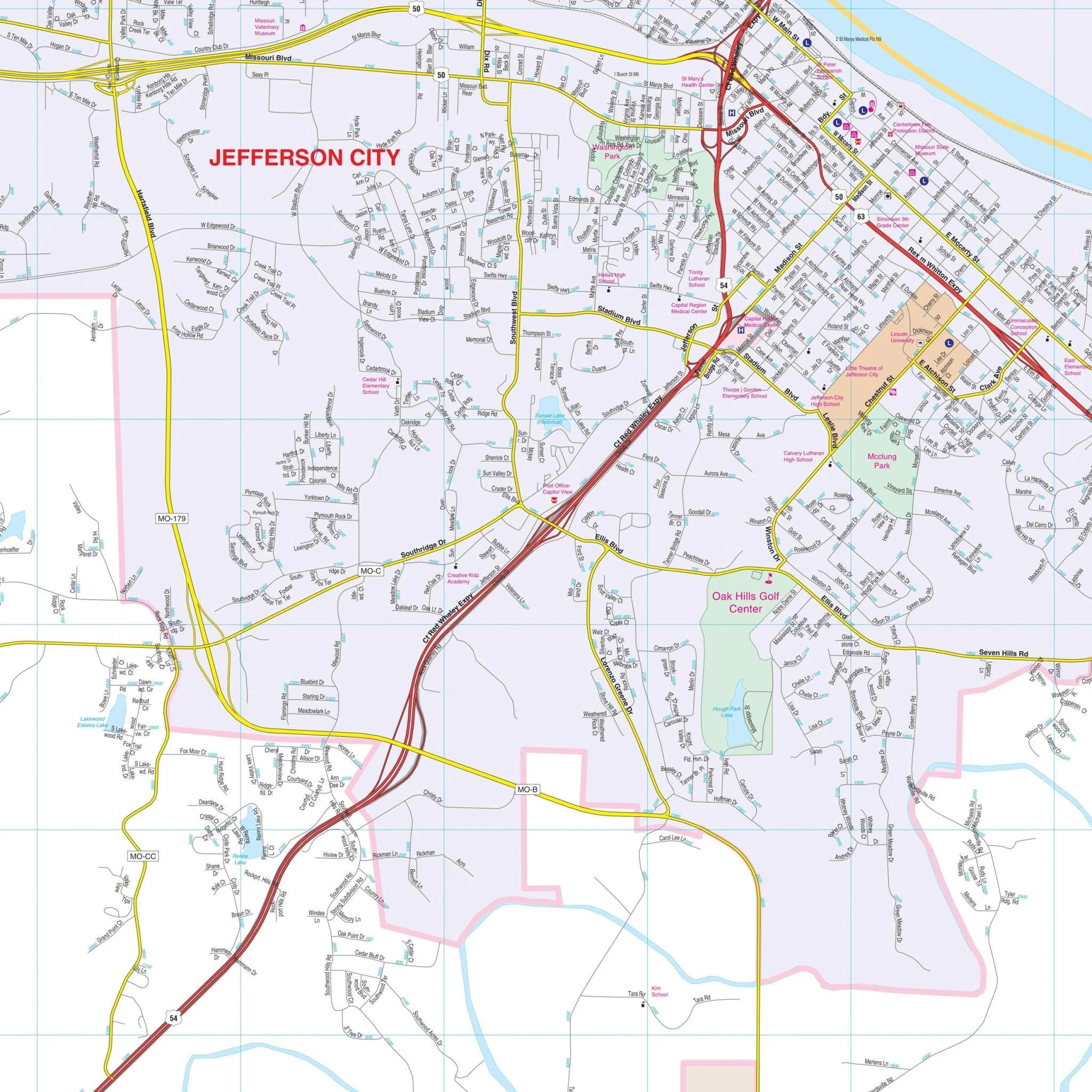
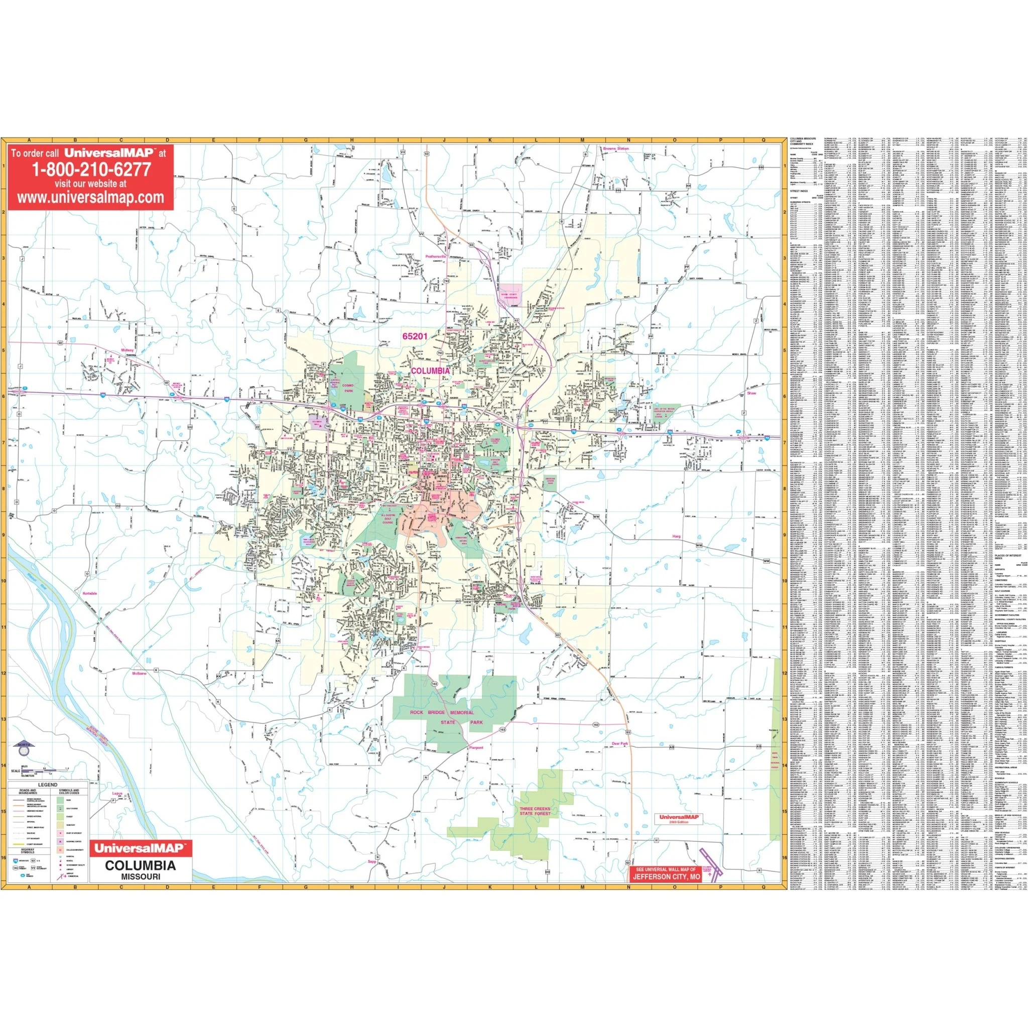
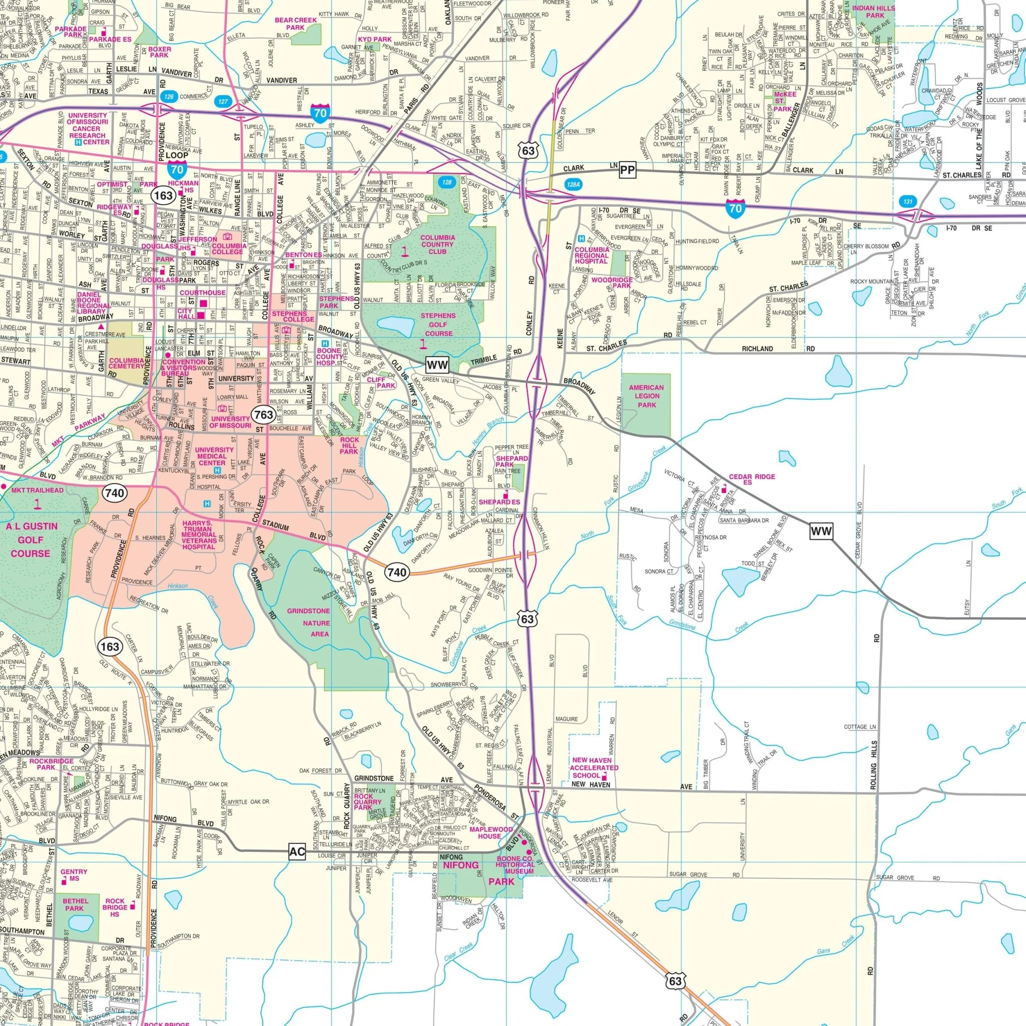
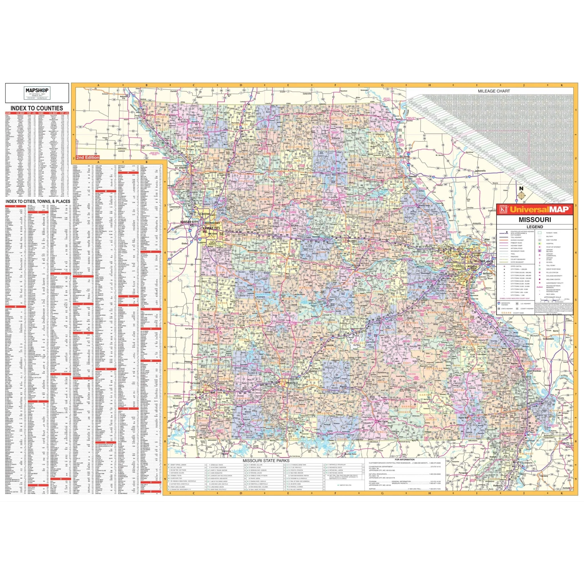
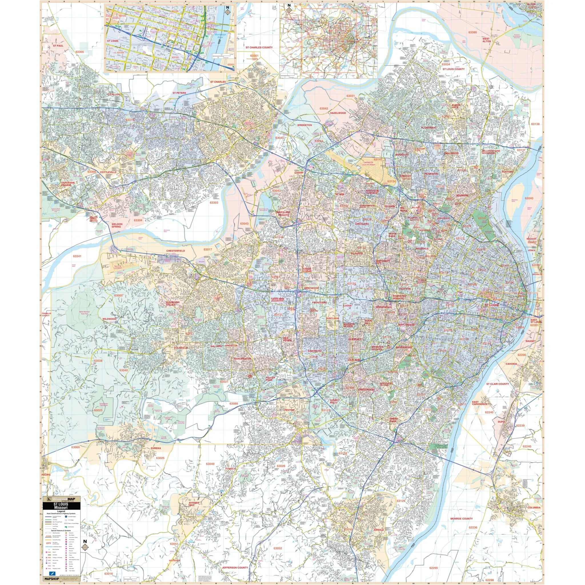
The St. Louis, Missouri Wall Map by Kappa Map Group offers complete street detail at a specific scale. The area of coverage for this map includes:
- All of St. Louis
- North: to include O'Fallon, Florissant, and across the Mississippi River to Alton, IL
- South: to Arnold, Byrnes Mill, and Scotsdale
- East: to the Mississippi River, Columbia, and Madison, IL
- West: to the St. Louis/Franklin County line
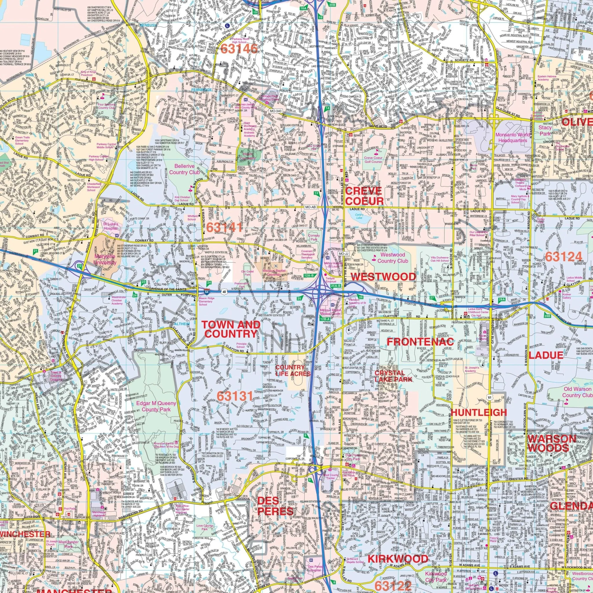
The map includes insets for Downtown St. Louis and a surrounding area map.
The special features and data contained on this map encompass airports, all streets and highways, government buildings, cemeteries, shopping centers, fire and police stations, hospitals, water features, educational institutions, railroads, recreational parks, golf and country clubs, post offices, ZIP codes and boundaries, block numbers, points of interest, city limits and annexations, longitude and latitude.
Size: 57" x 65.5"
Published: 2015
Original: $149.99
-70%$149.99
$45.00Product Information
Product Information
Shipping & Returns
Shipping & Returns
Description
The St. Louis, Missouri Wall Map by Kappa Map Group offers complete street detail at a specific scale. The area of coverage for this map includes:
- All of St. Louis
- North: to include O'Fallon, Florissant, and across the Mississippi River to Alton, IL
- South: to Arnold, Byrnes Mill, and Scotsdale
- East: to the Mississippi River, Columbia, and Madison, IL
- West: to the St. Louis/Franklin County line
The map includes insets for Downtown St. Louis and a surrounding area map.
The special features and data contained on this map encompass airports, all streets and highways, government buildings, cemeteries, shopping centers, fire and police stations, hospitals, water features, educational institutions, railroads, recreational parks, golf and country clubs, post offices, ZIP codes and boundaries, block numbers, points of interest, city limits and annexations, longitude and latitude.
Size: 57" x 65.5"
Published: 2015