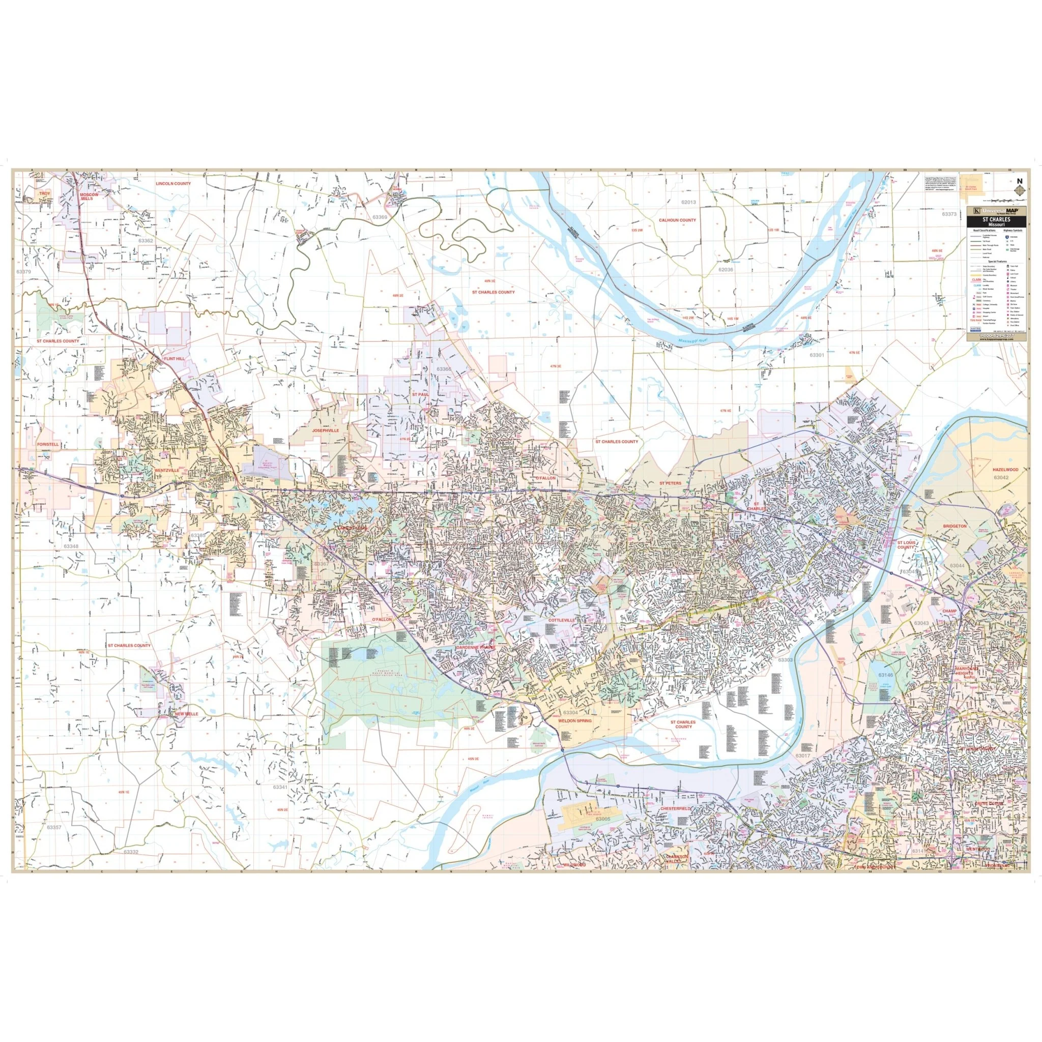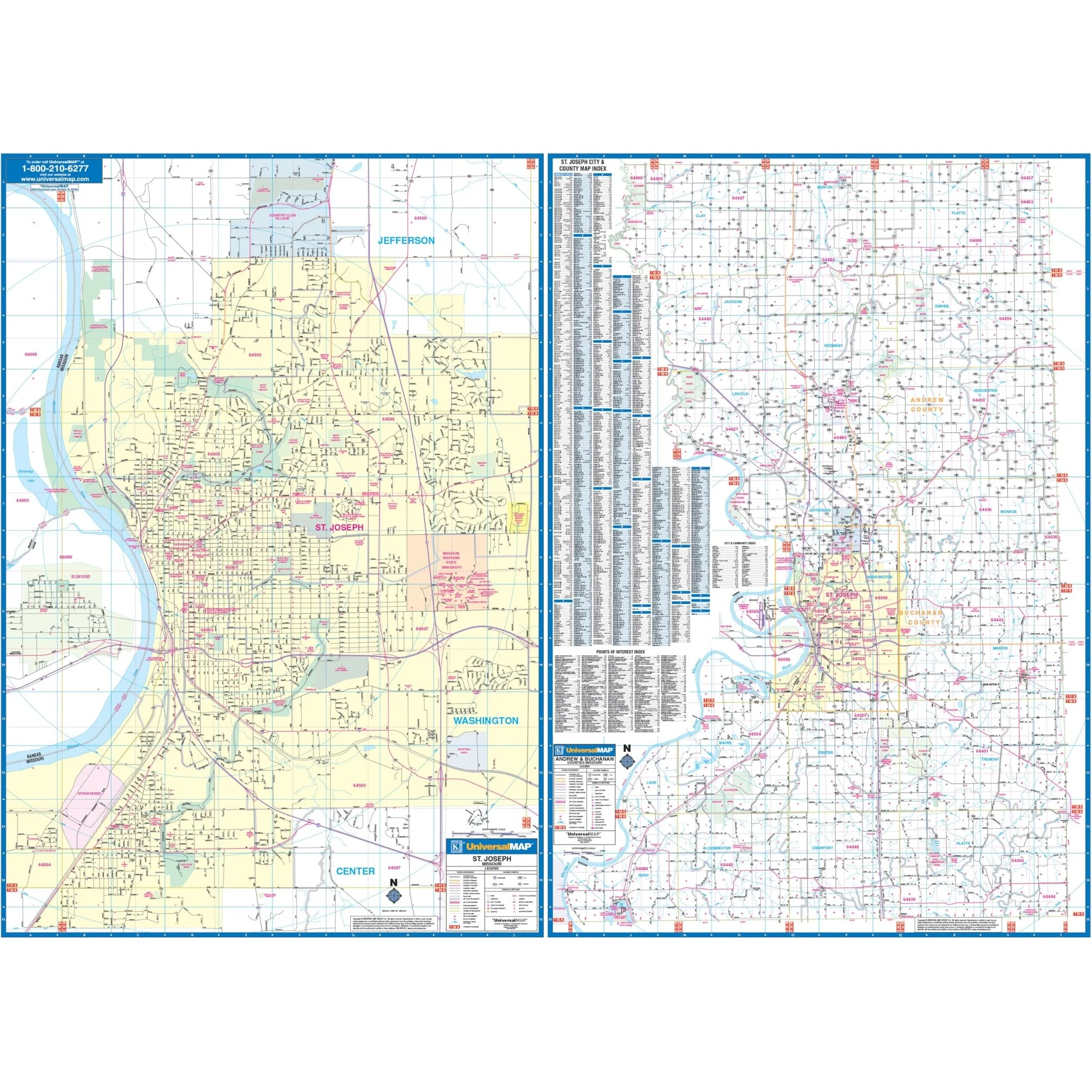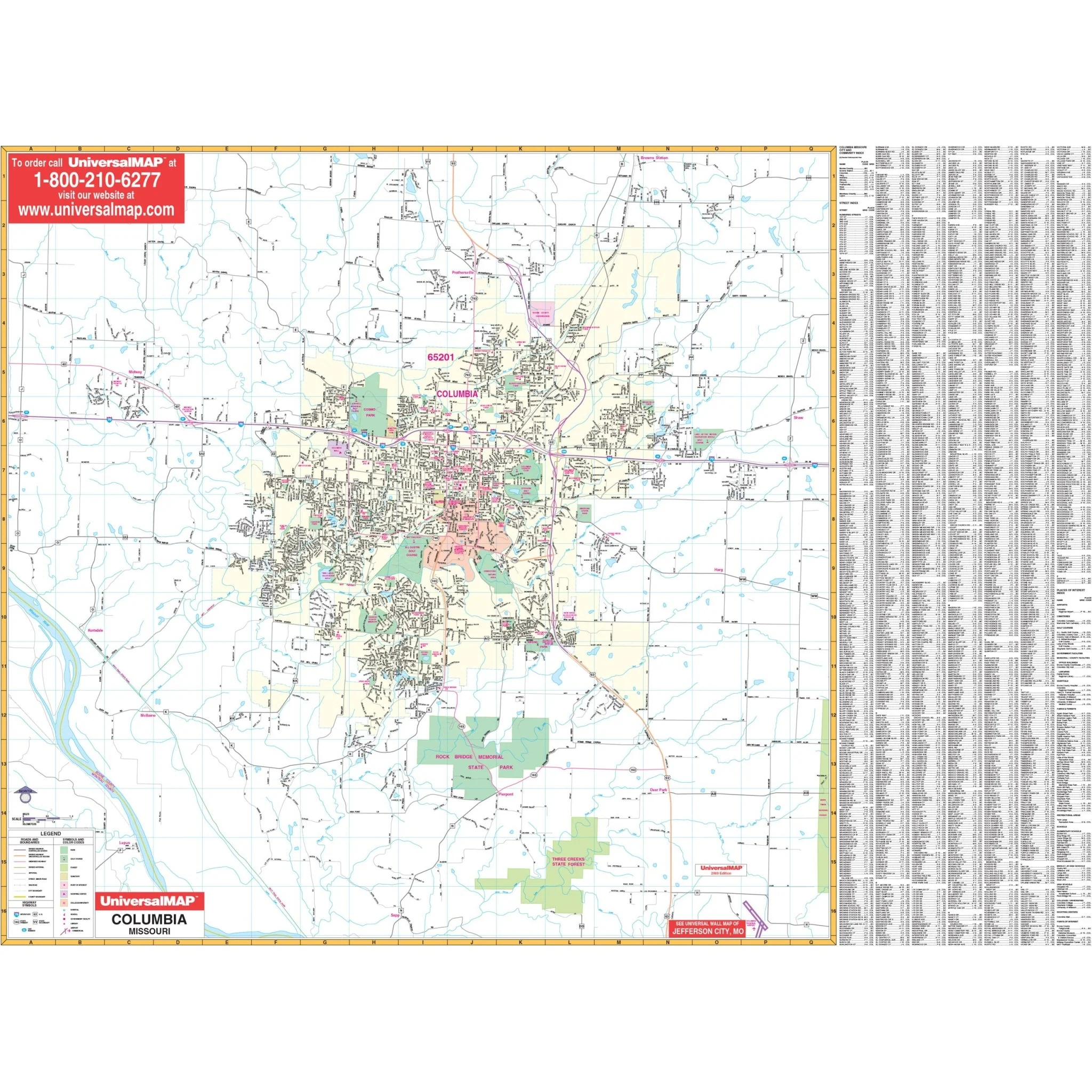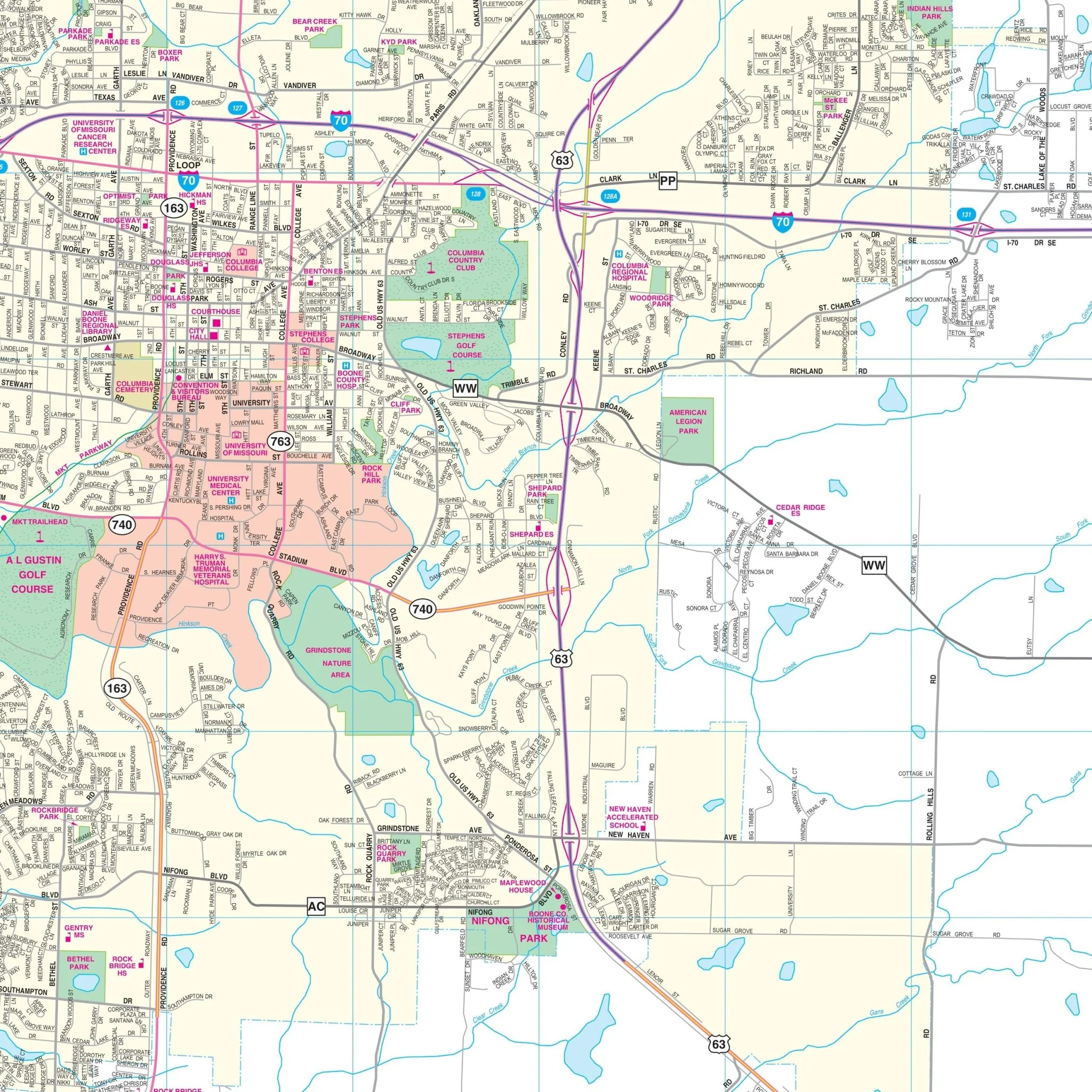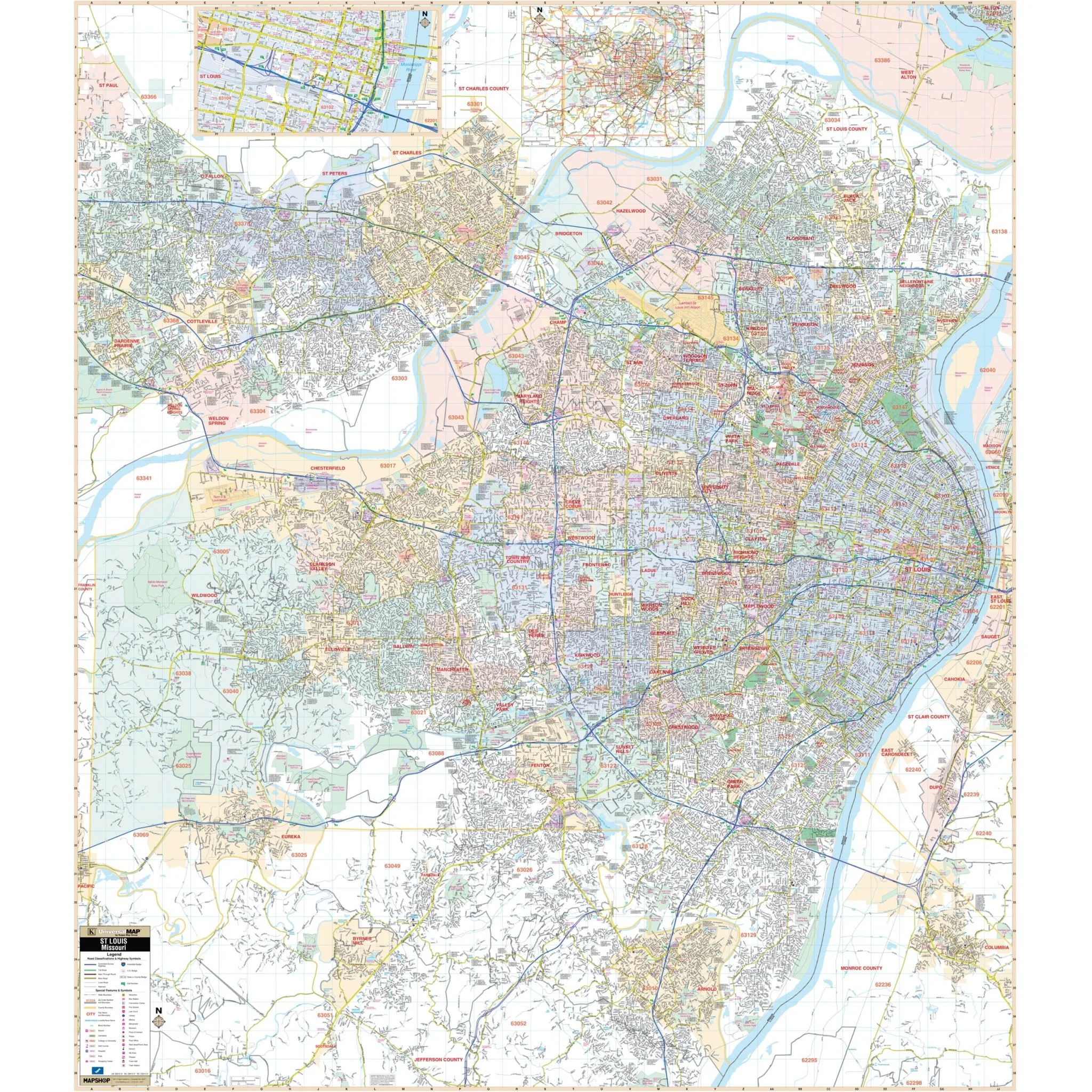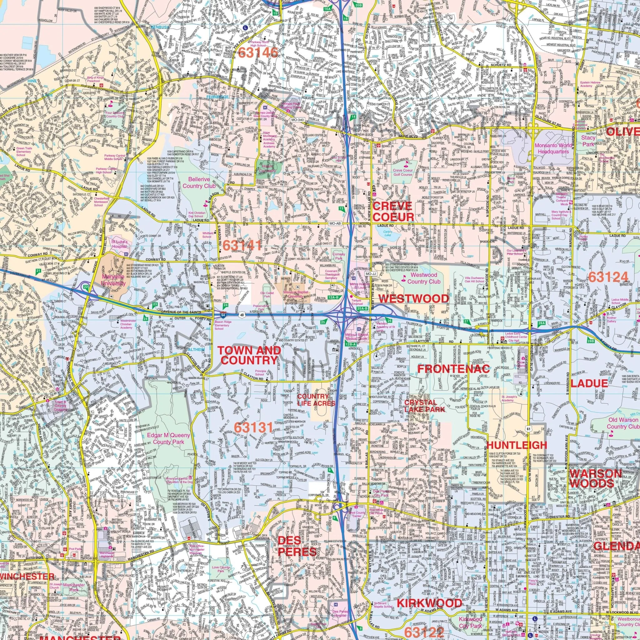


Kansas City, MO-KS Wall Map
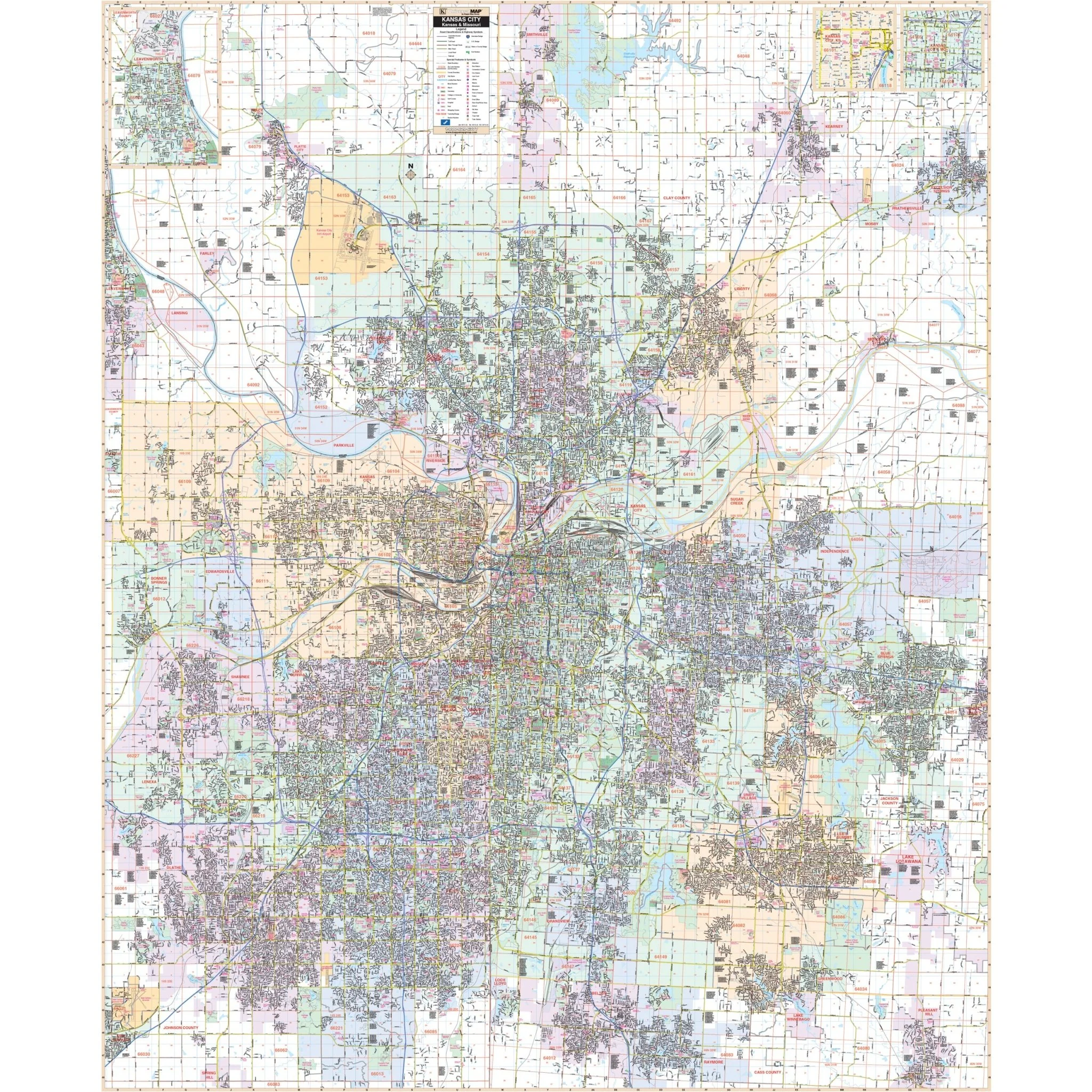
The Kansas City KS/MO Wall Map, with adjacent areas, features cartography at a scale of 1" = 2916" and includes new streets and changes in complete street detail. The area of coverage encompasses:
- All of Kansas City KS/MO
- North to Platte City, MO, and all of Kearney, MO
- South to Belton, MO, and most of Raymore, MO
- East to the eastern limit of Independence, MO, and all of the City of Blue Springs
- West to Olathe and the New Century Air Center and Business Park in Kansas
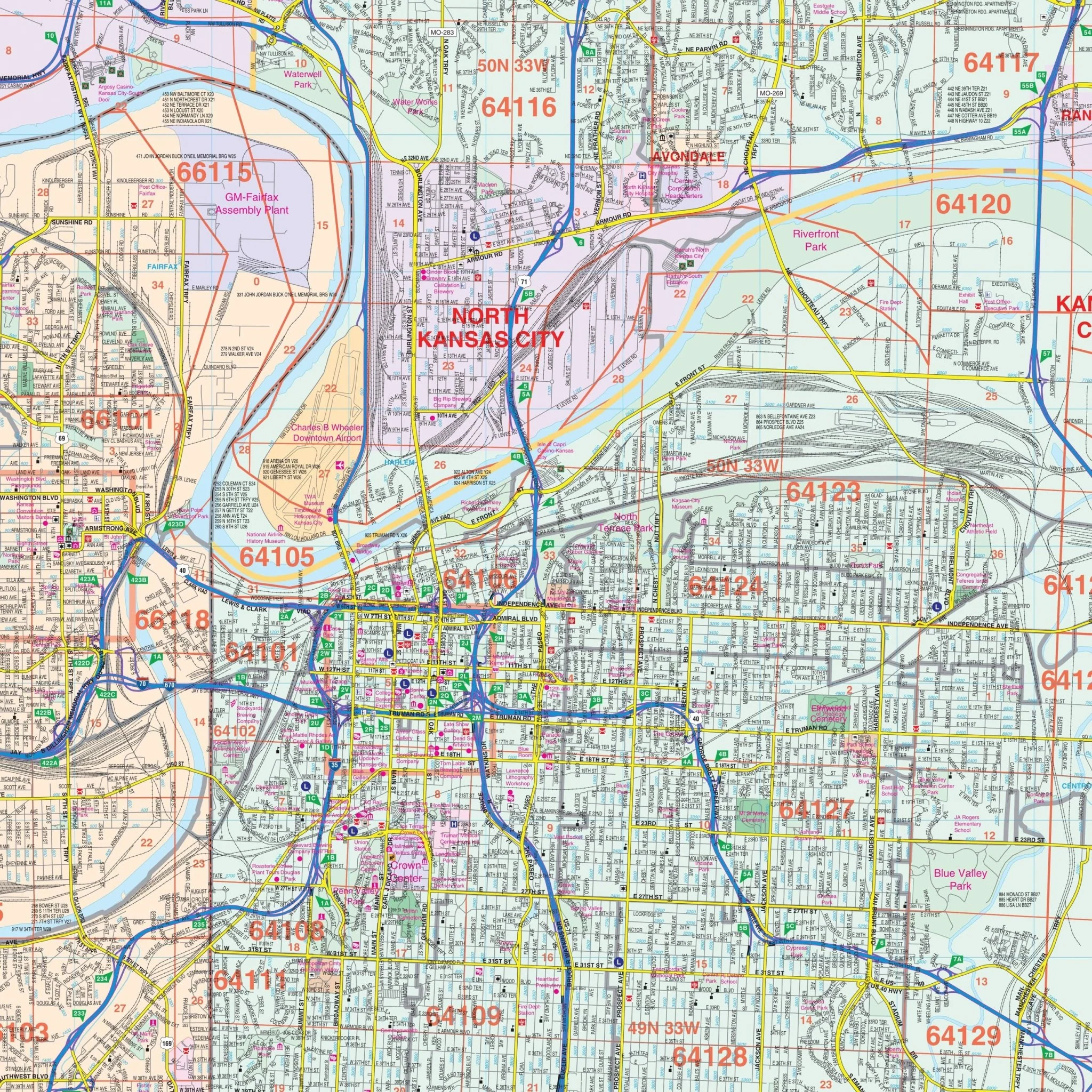
The Kansas City KS/MO Wall Map also includes insets of Leavenworth, Downtown Kansas City, MO, and Downtown Kansas City, KS.
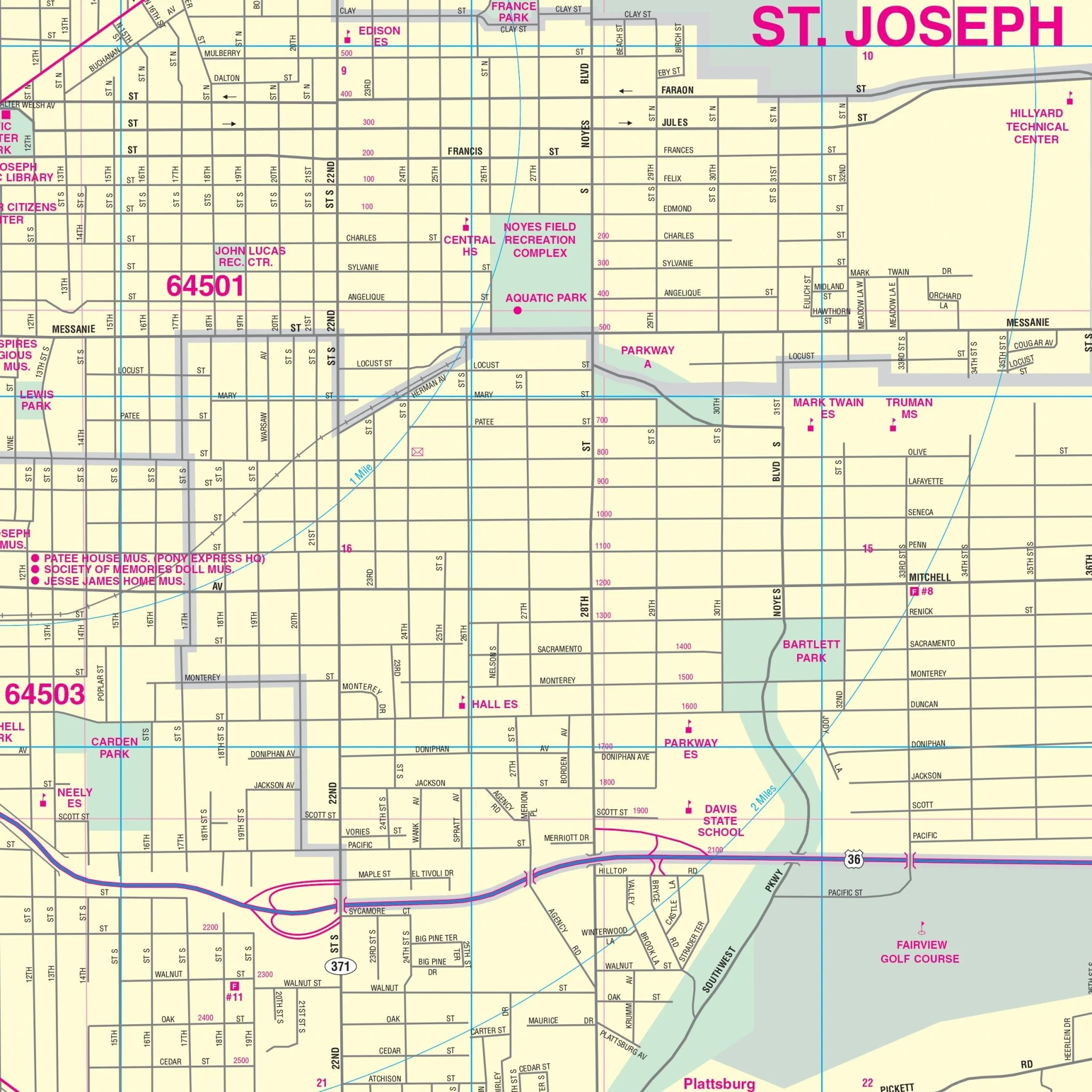
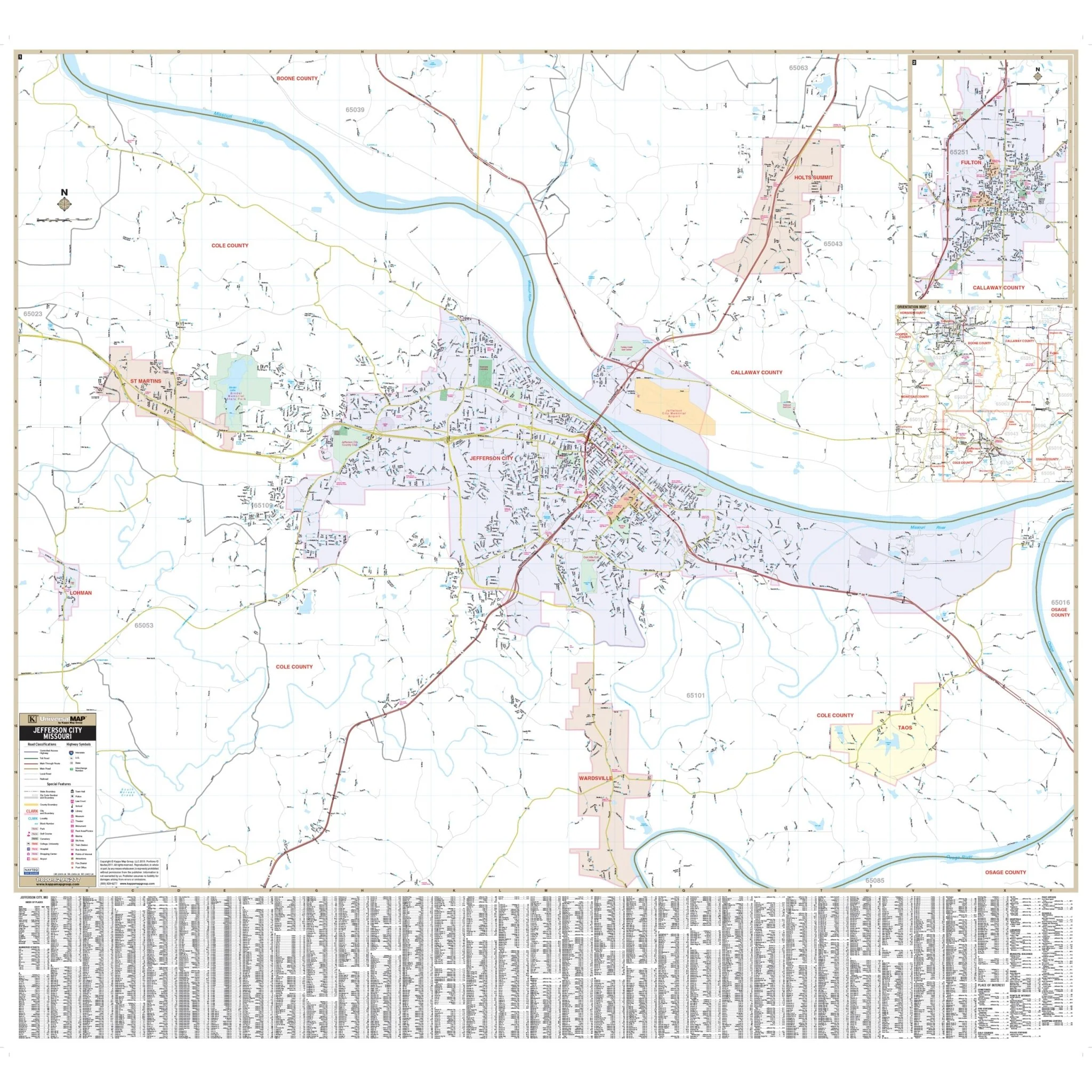
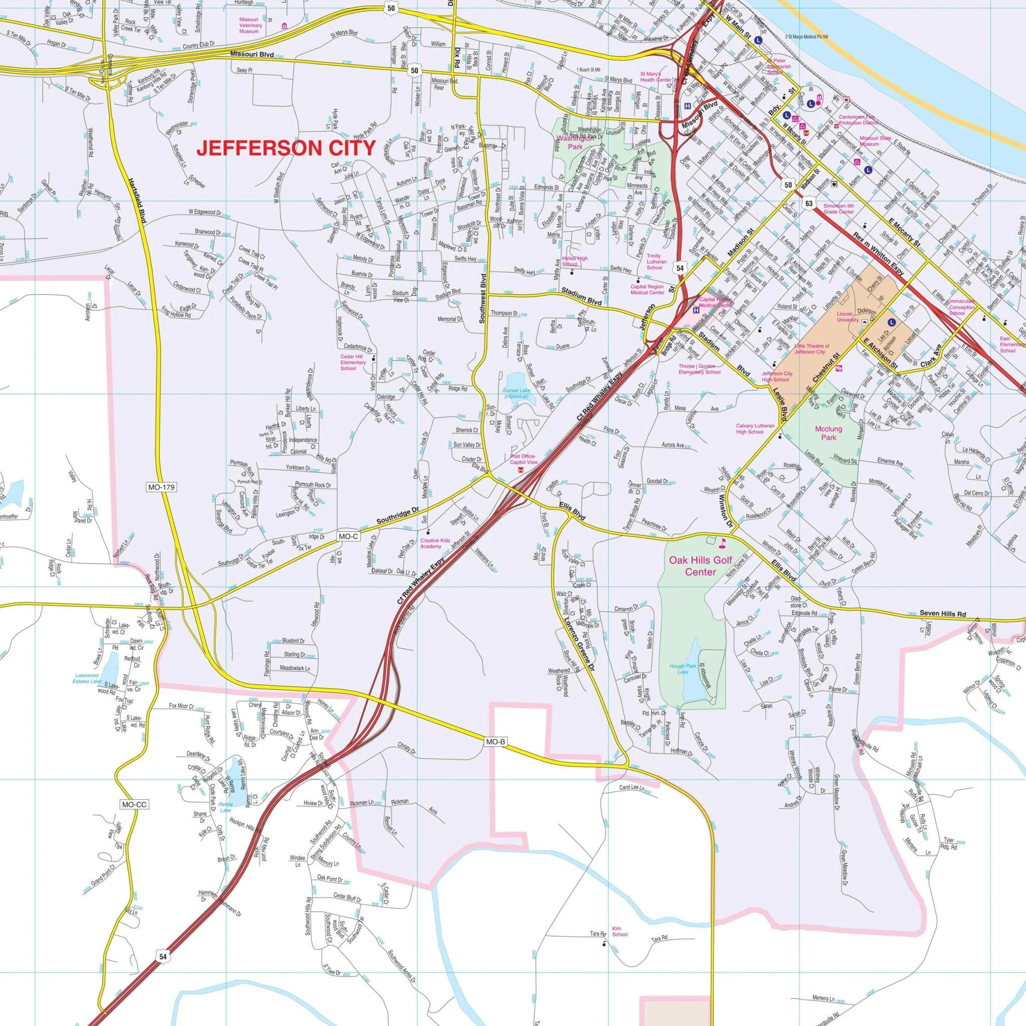
Details on the map encompass streets, airports, government buildings, post offices, cemeteries, fire and police stations, hospitals, shopping centers, educational institutions, railroads, water features, golf and country clubs, mileage circles, recreational parks, ZIP codes and boundaries, and block numbers.
Size: 67" x 82"
Published: 2017
Original: $249.99
-70%$249.99
$75.00Product Information
Product Information
Shipping & Returns
Shipping & Returns
Description
The Kansas City KS/MO Wall Map, with adjacent areas, features cartography at a scale of 1" = 2916" and includes new streets and changes in complete street detail. The area of coverage encompasses:
- All of Kansas City KS/MO
- North to Platte City, MO, and all of Kearney, MO
- South to Belton, MO, and most of Raymore, MO
- East to the eastern limit of Independence, MO, and all of the City of Blue Springs
- West to Olathe and the New Century Air Center and Business Park in Kansas
The Kansas City KS/MO Wall Map also includes insets of Leavenworth, Downtown Kansas City, MO, and Downtown Kansas City, KS.
Details on the map encompass streets, airports, government buildings, post offices, cemeteries, fire and police stations, hospitals, shopping centers, educational institutions, railroads, water features, golf and country clubs, mileage circles, recreational parks, ZIP codes and boundaries, and block numbers.
Size: 67" x 82"
Published: 2017