


St Charles, MO Wall Map
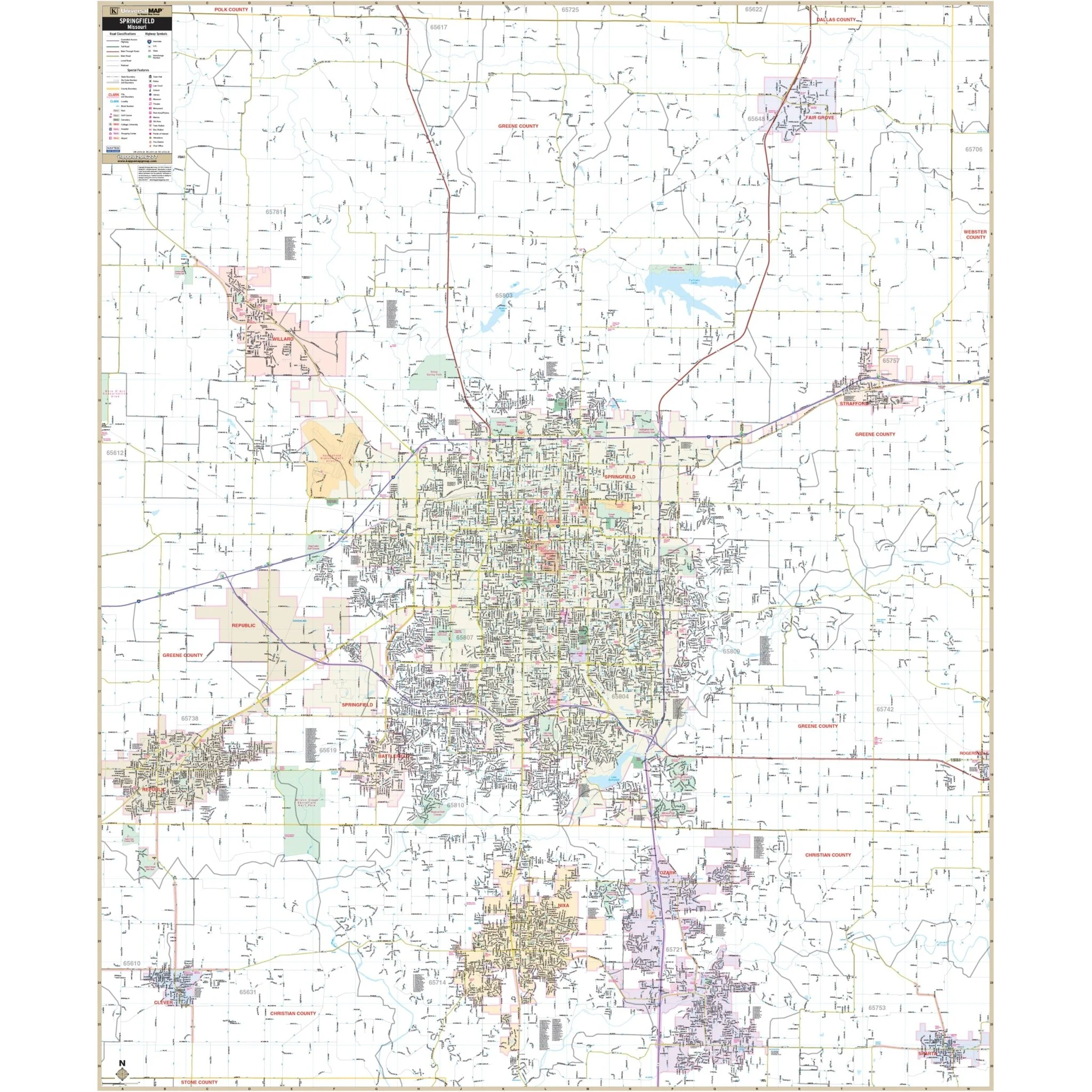
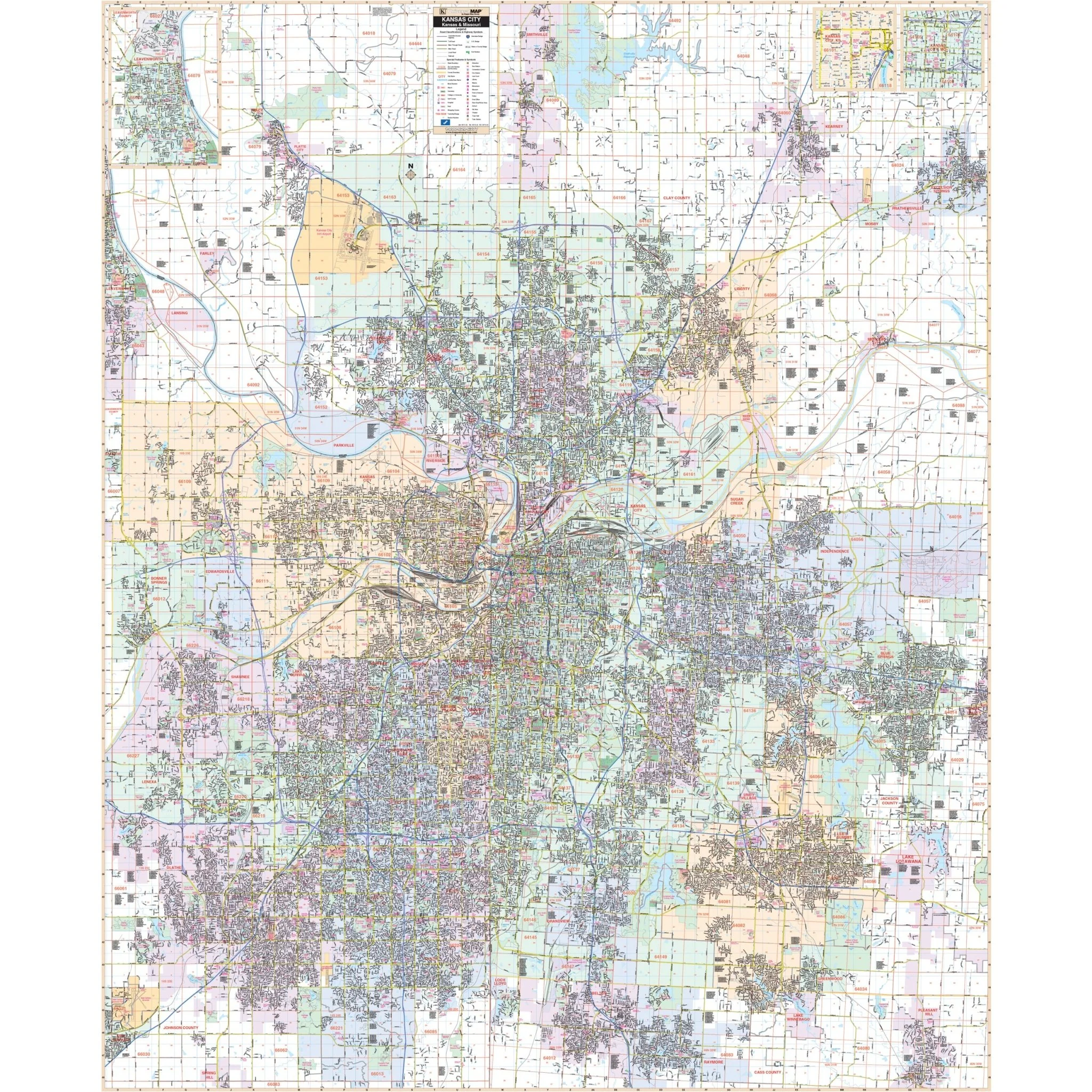
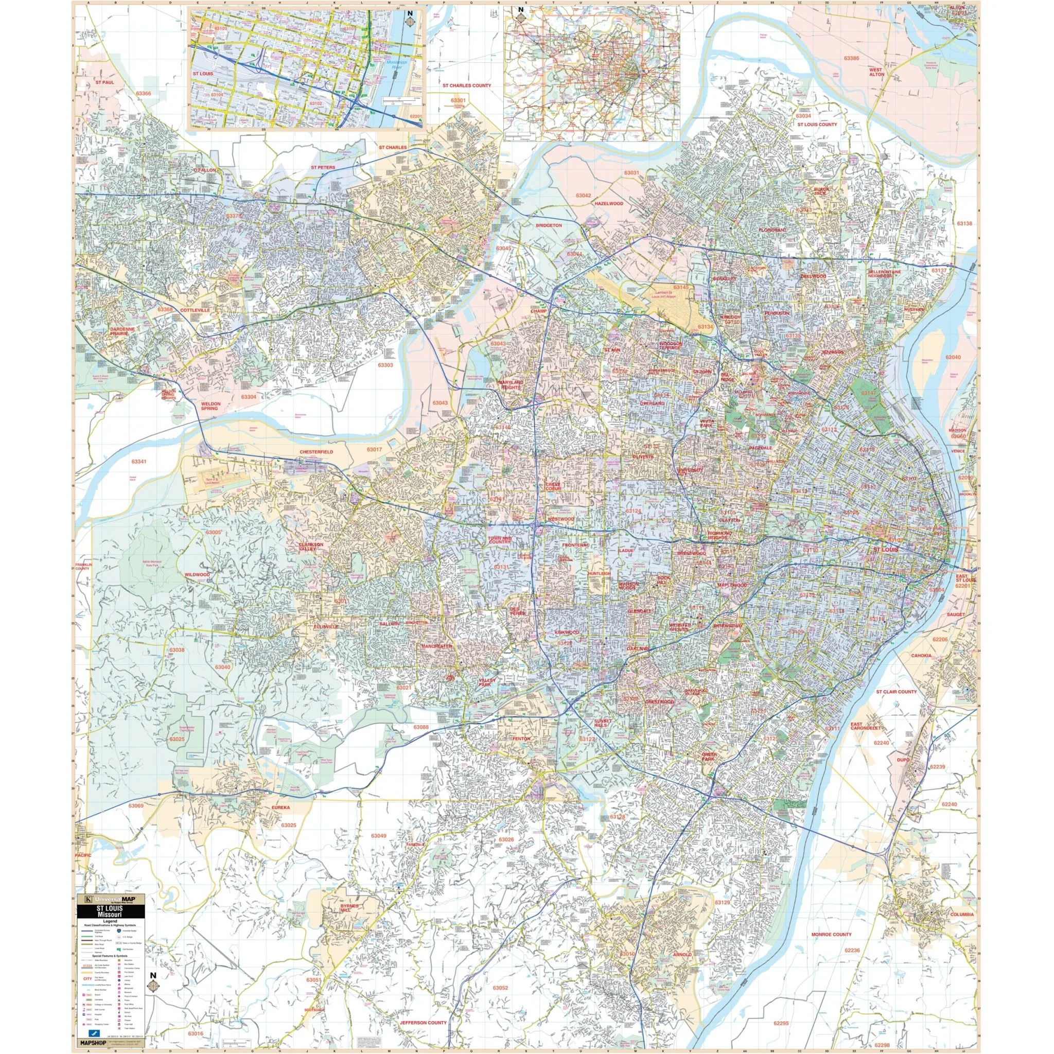
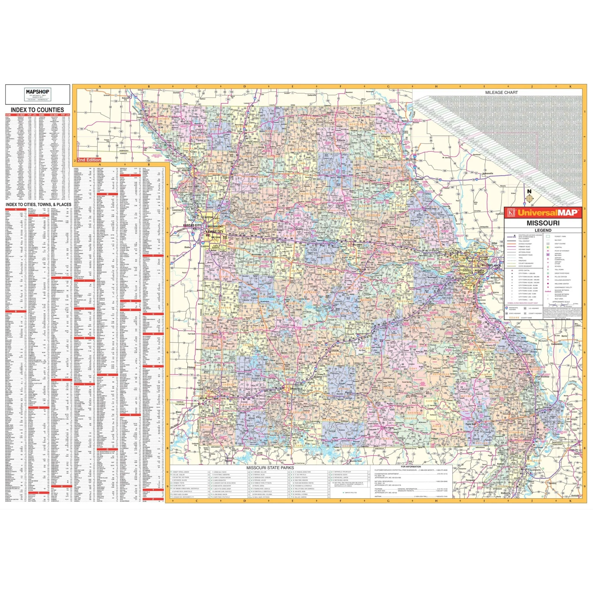
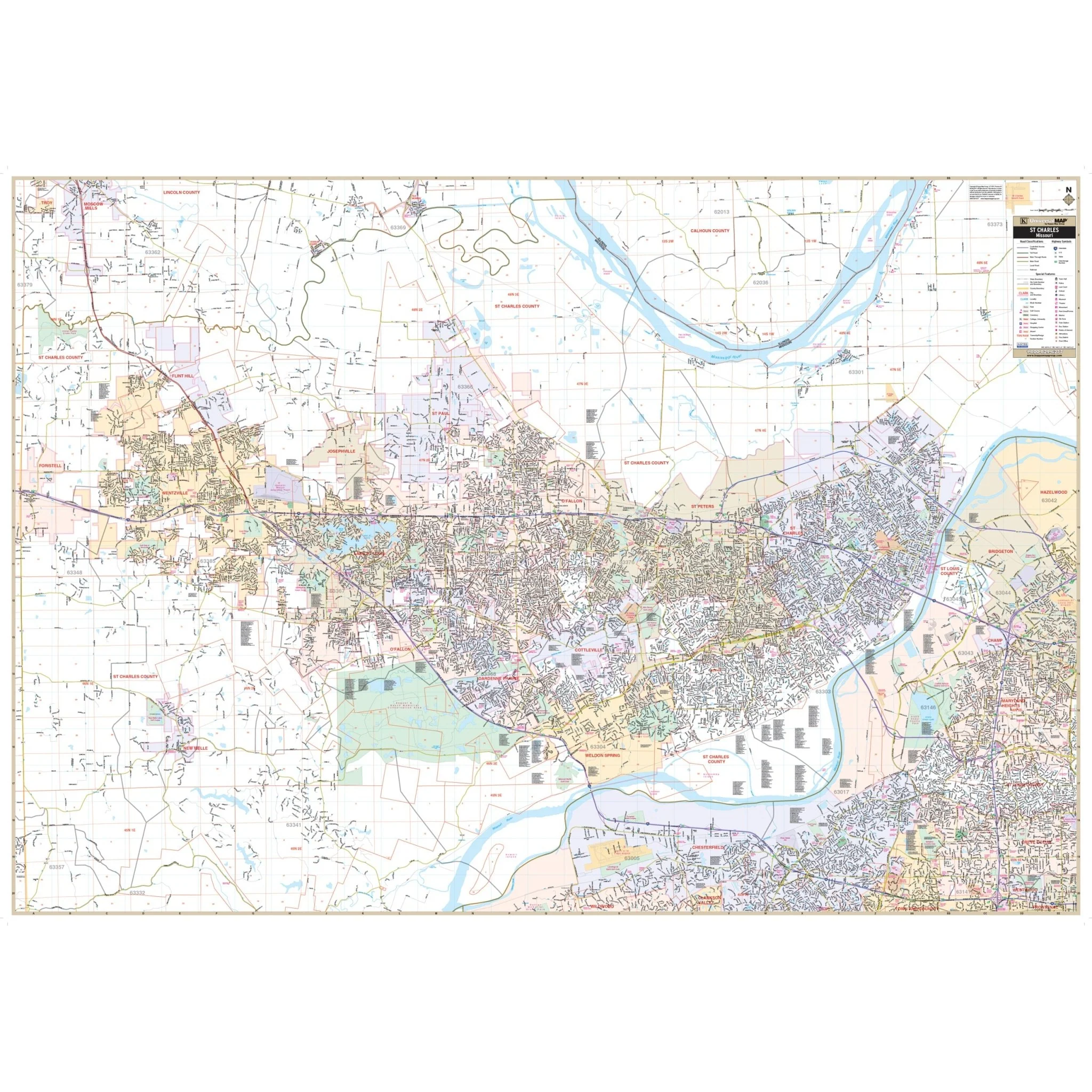
The St Charles, MO Wall Map by Kappa Map Group provides complete street detail. The area of coverage includes a majority of St. Charles County, covering all of the communities of St. Charles, St. Peters, Weldon Spring, Cottleville, Dardenne Prairie, O'Fallon, St. Paul, Josephville, Lake St. Louis, Flint Hill, Wentzville, and New Melle with the following boundaries:
- North: to Moscow Mills in Lincoln County
- South: to Clarkson Valley in St. Louis County
- East: to St. Charles Smartt Field (Airport)
- West: to the St. Charles County Line
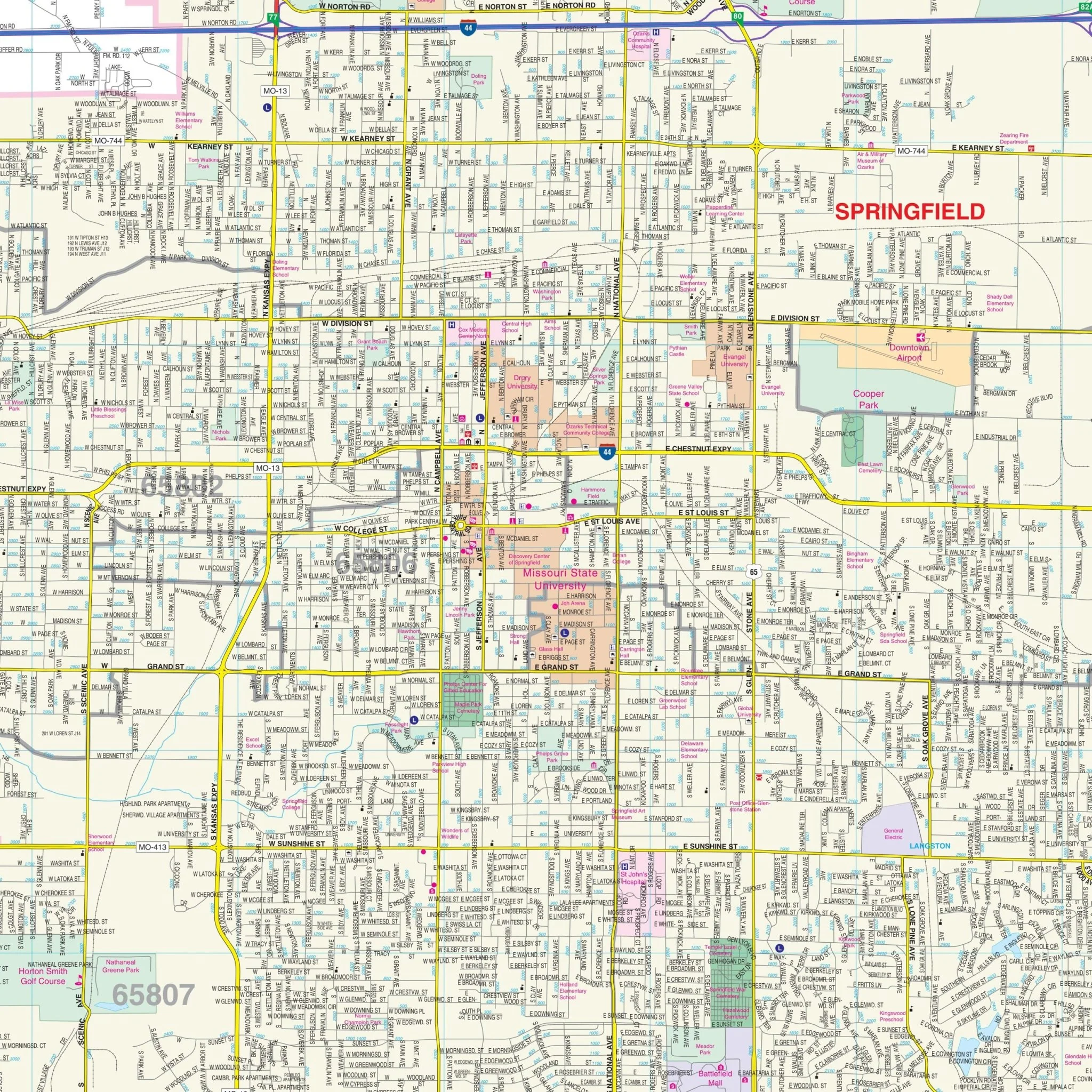
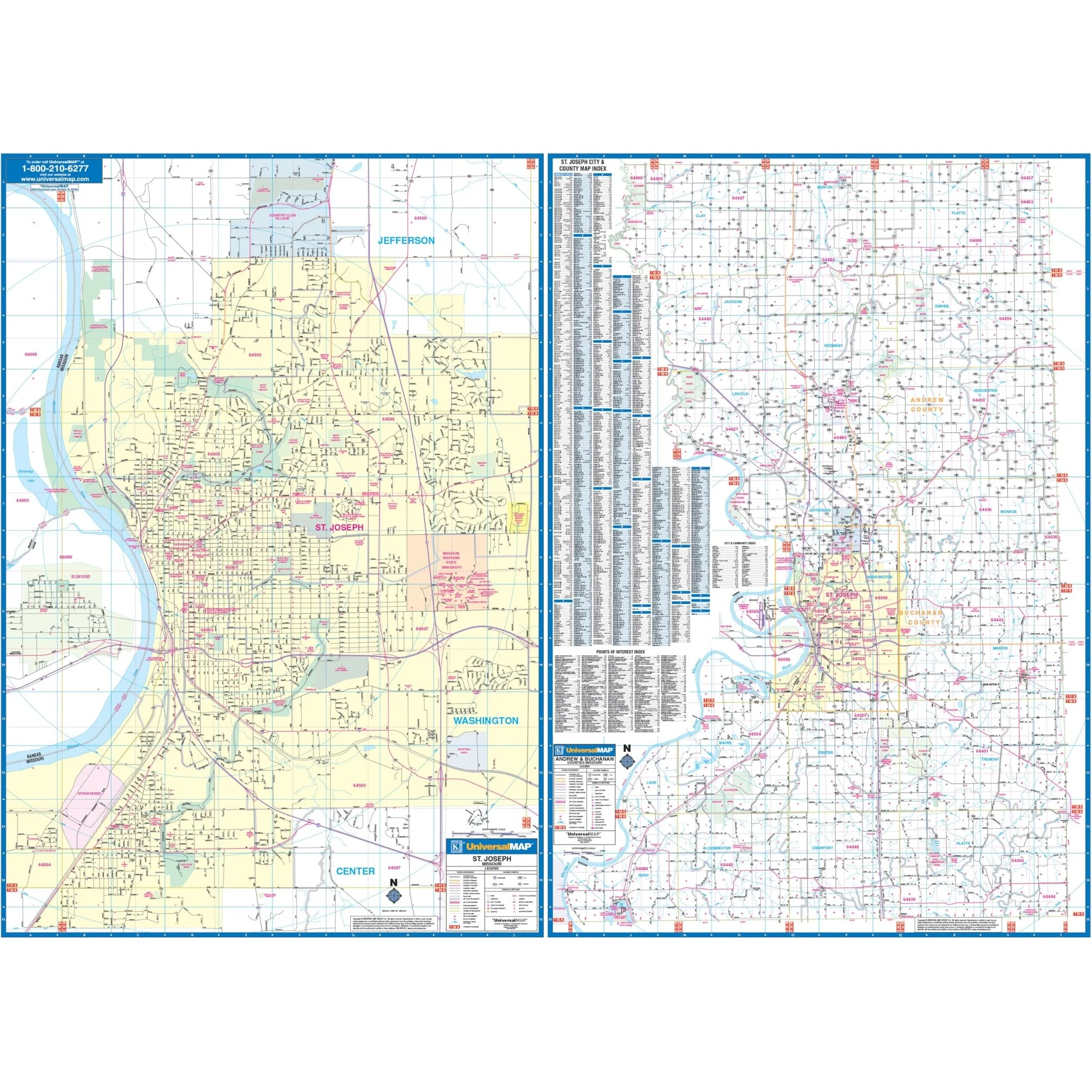
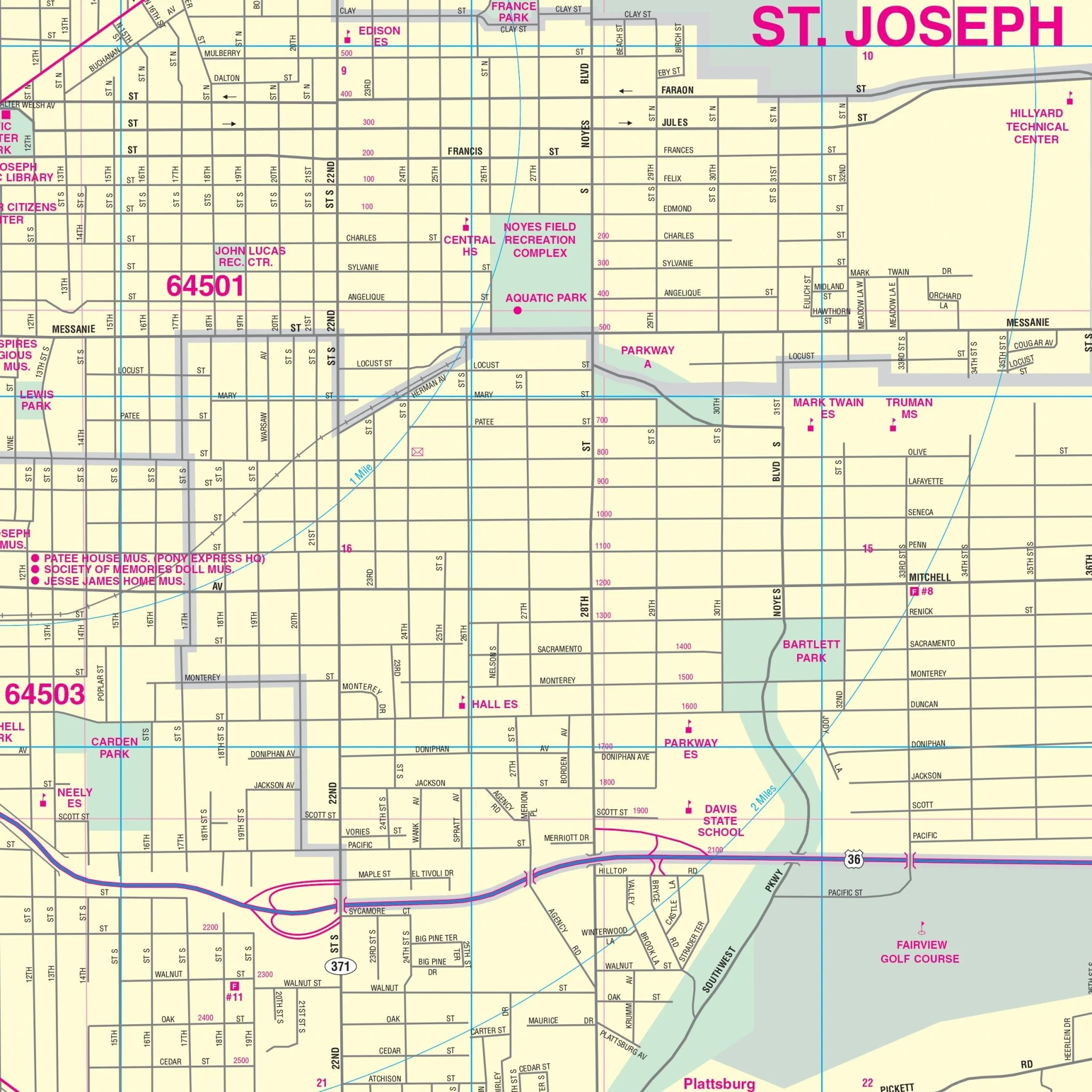
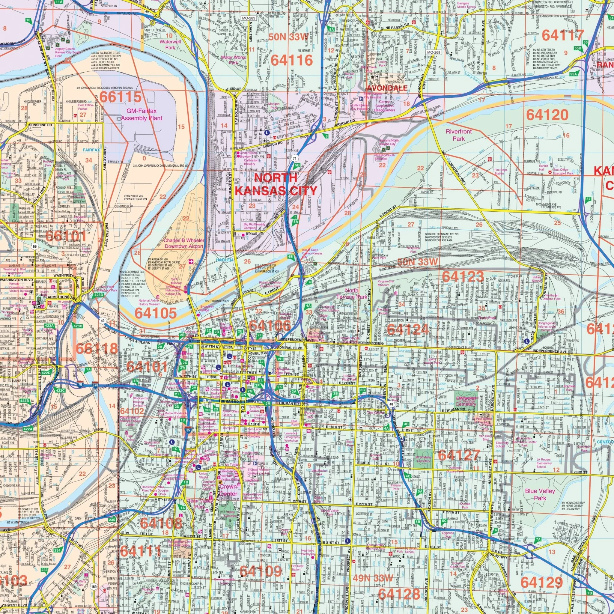
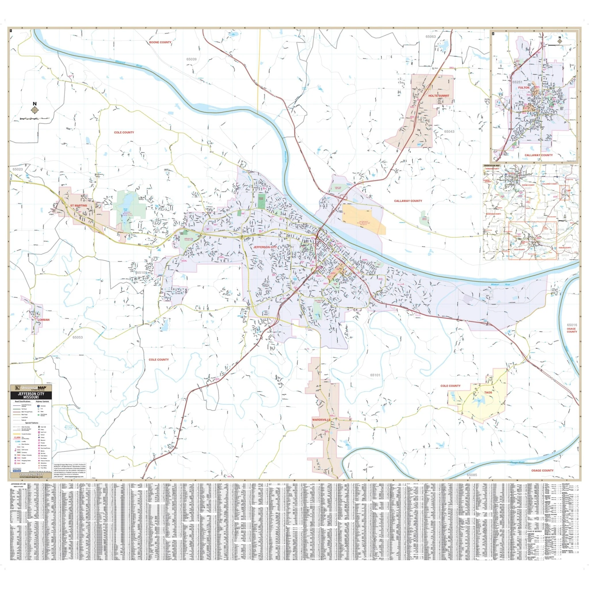
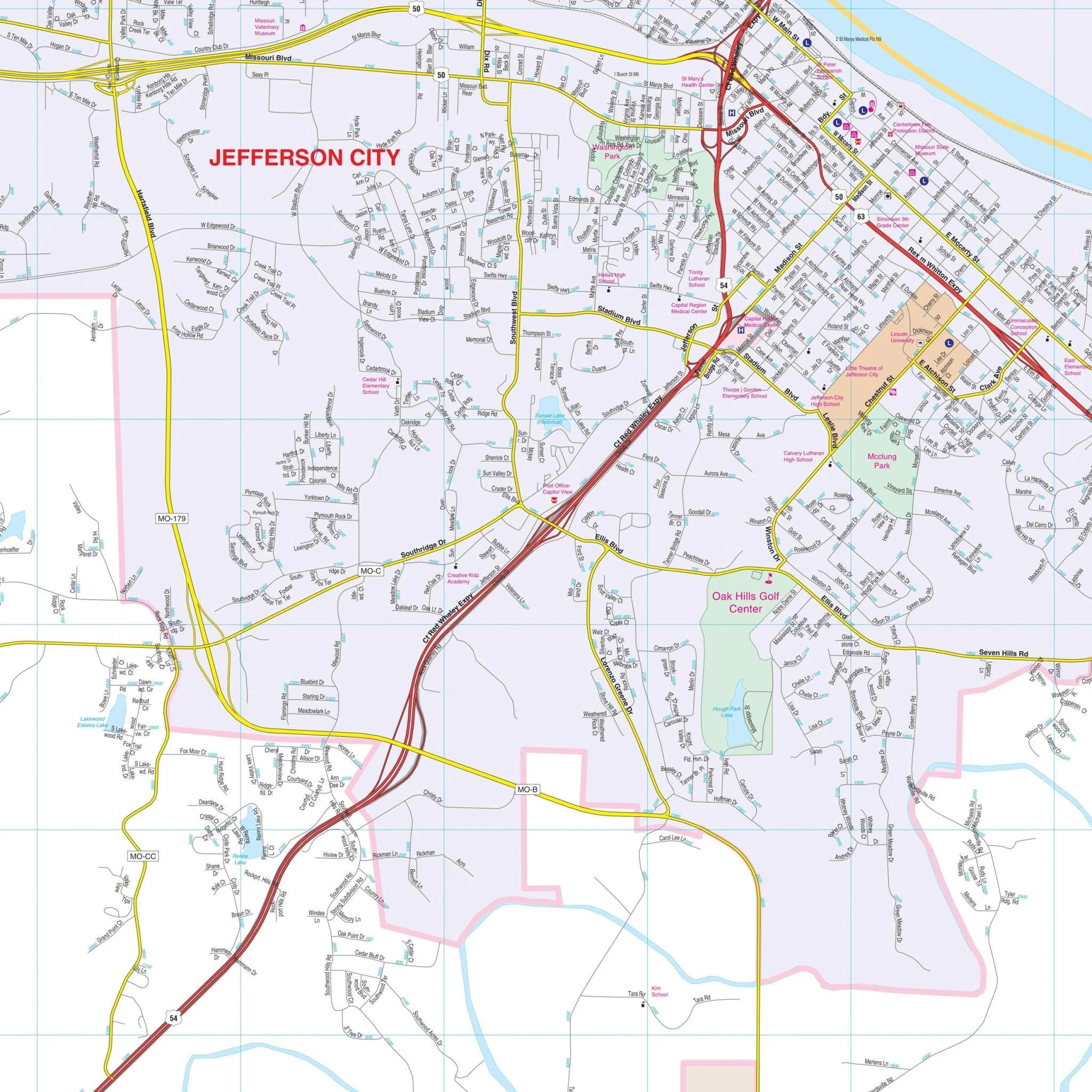
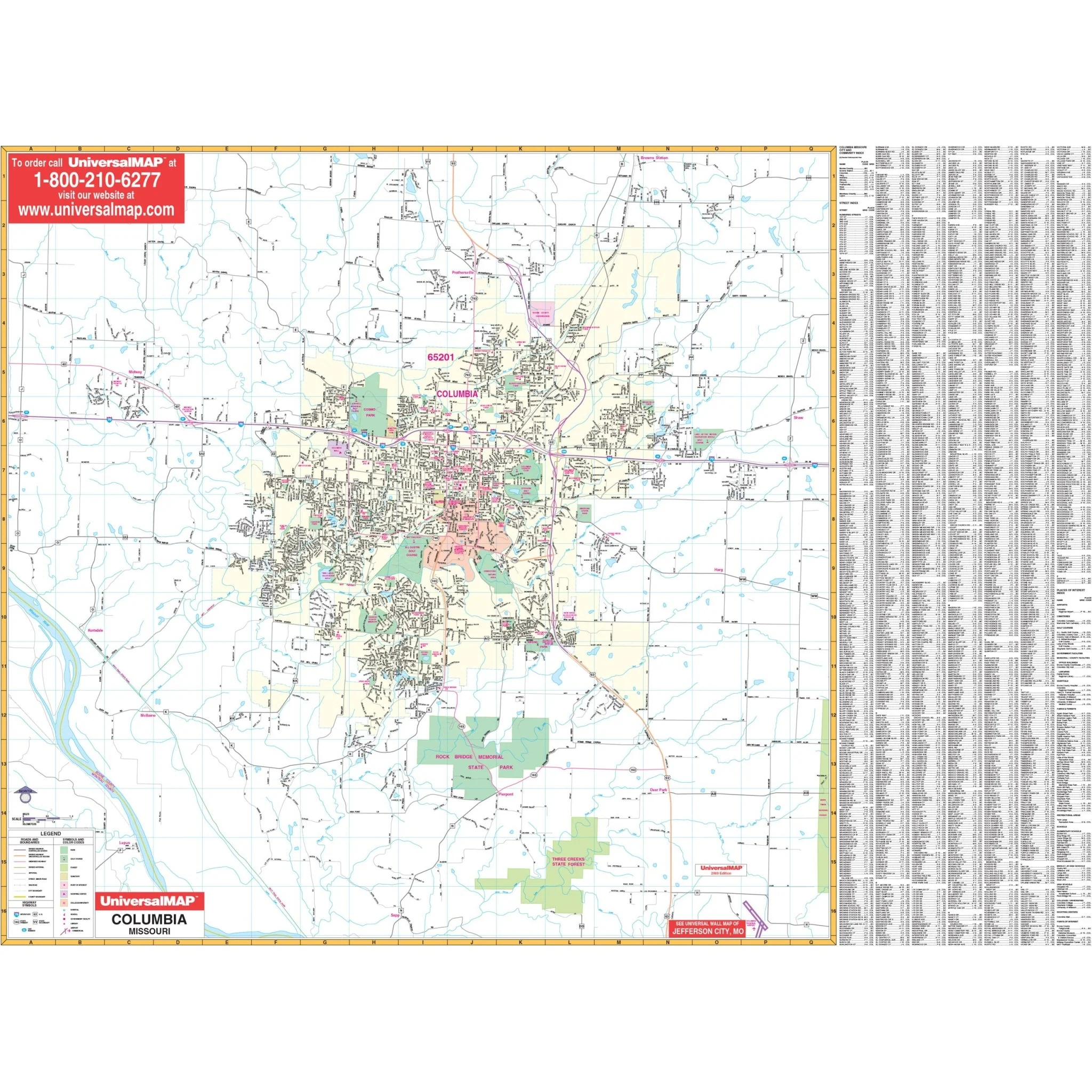
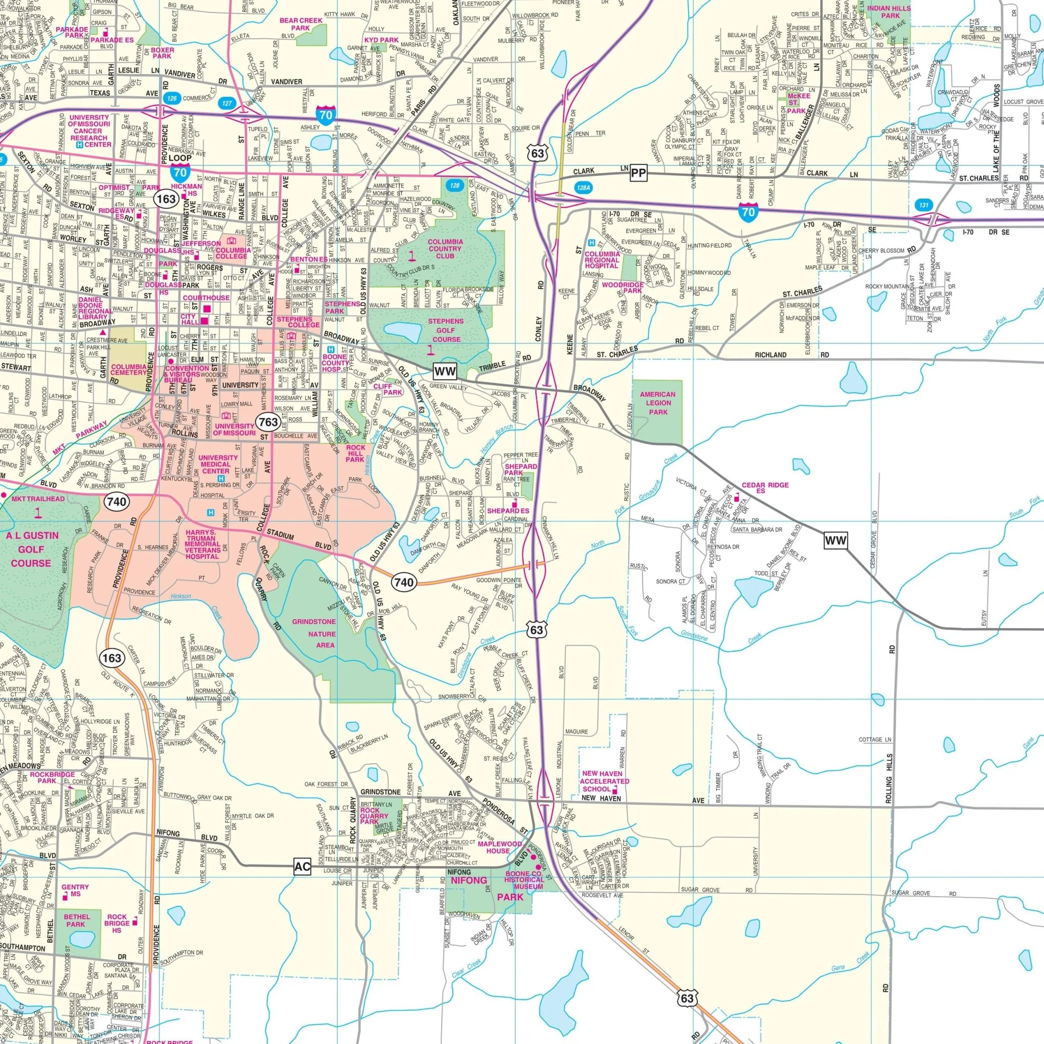
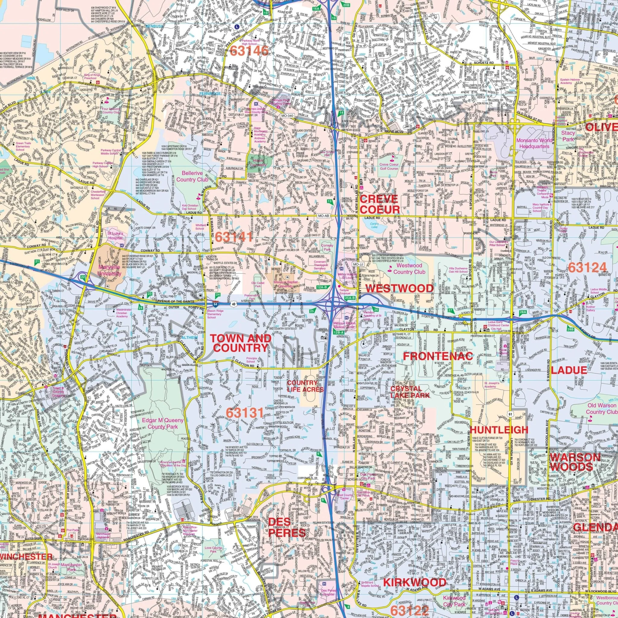
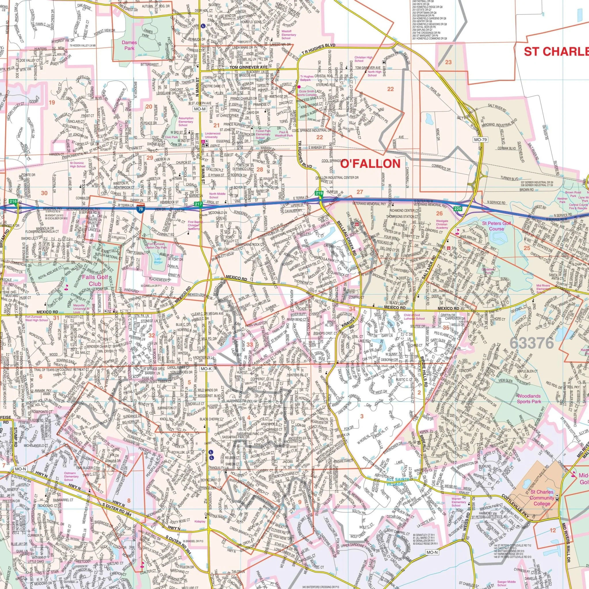
Details included with this map encompass all streets, post offices, hospitals, railroads, mileage circles, airports, cemeteries, shopping centers, water features, recreational parks, government buildings, fire and police stations, educational facilities, golf courses and country clubs, section/township/range lines, city limits/annexations, ZIP code numbers/boundaries, and points of interest.
Size: 73" x 50.5"
Published: 2008
Original: $149.99
-70%$149.99
$45.00Product Information
Product Information
Shipping & Returns
Shipping & Returns
Description
The St Charles, MO Wall Map by Kappa Map Group provides complete street detail. The area of coverage includes a majority of St. Charles County, covering all of the communities of St. Charles, St. Peters, Weldon Spring, Cottleville, Dardenne Prairie, O'Fallon, St. Paul, Josephville, Lake St. Louis, Flint Hill, Wentzville, and New Melle with the following boundaries:
- North: to Moscow Mills in Lincoln County
- South: to Clarkson Valley in St. Louis County
- East: to St. Charles Smartt Field (Airport)
- West: to the St. Charles County Line
Details included with this map encompass all streets, post offices, hospitals, railroads, mileage circles, airports, cemeteries, shopping centers, water features, recreational parks, government buildings, fire and police stations, educational facilities, golf courses and country clubs, section/township/range lines, city limits/annexations, ZIP code numbers/boundaries, and points of interest.
Size: 73" x 50.5"
Published: 2008