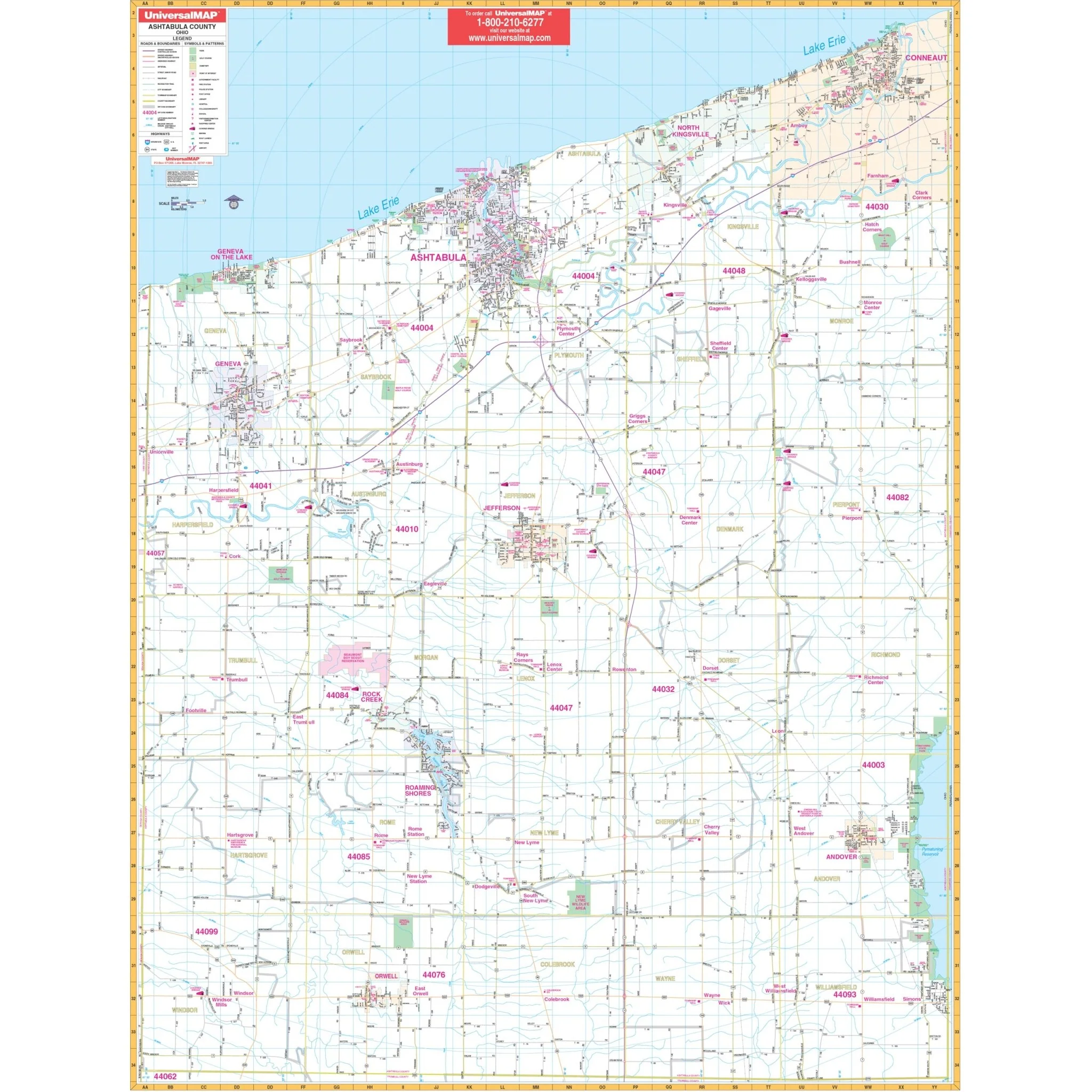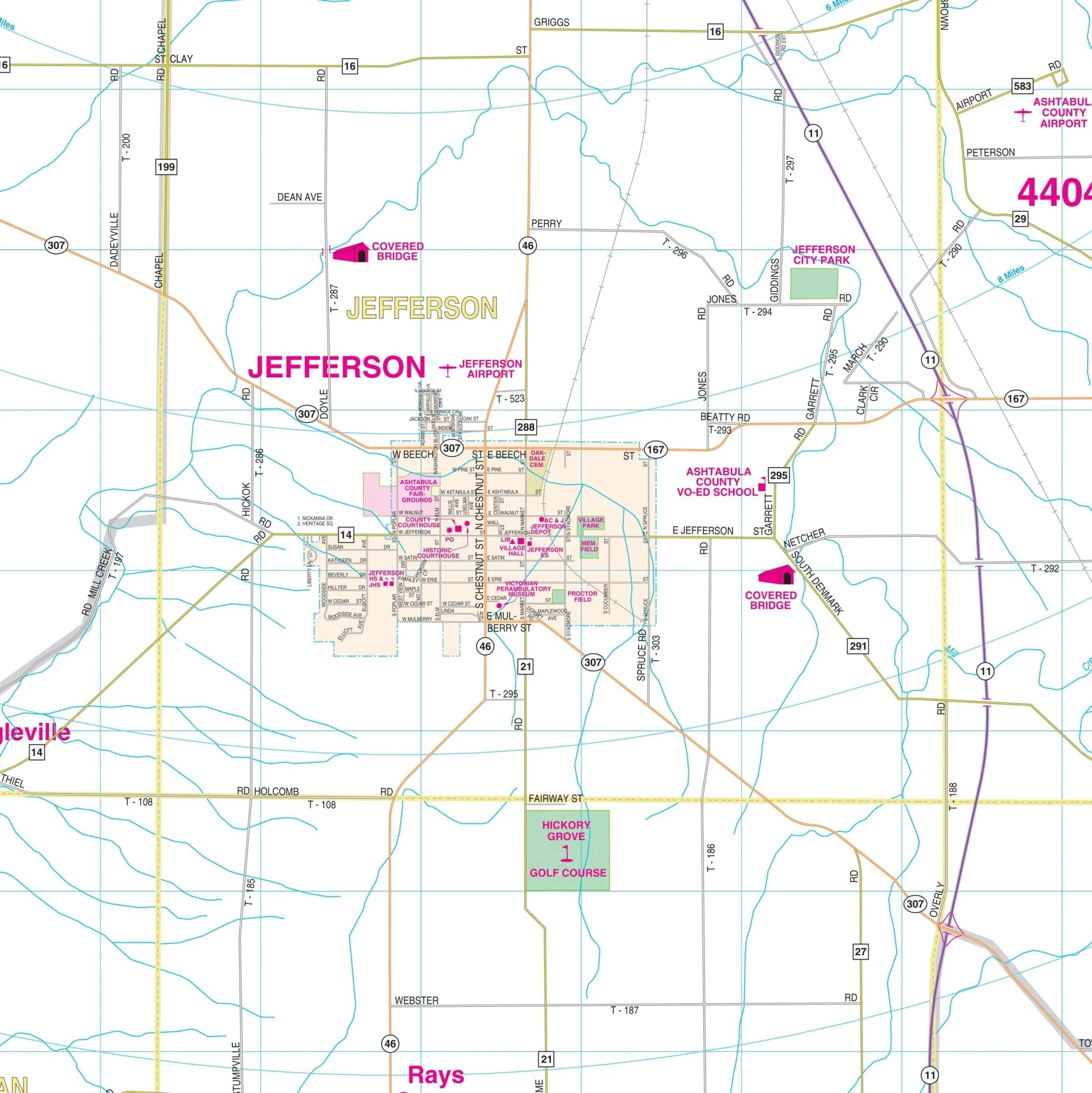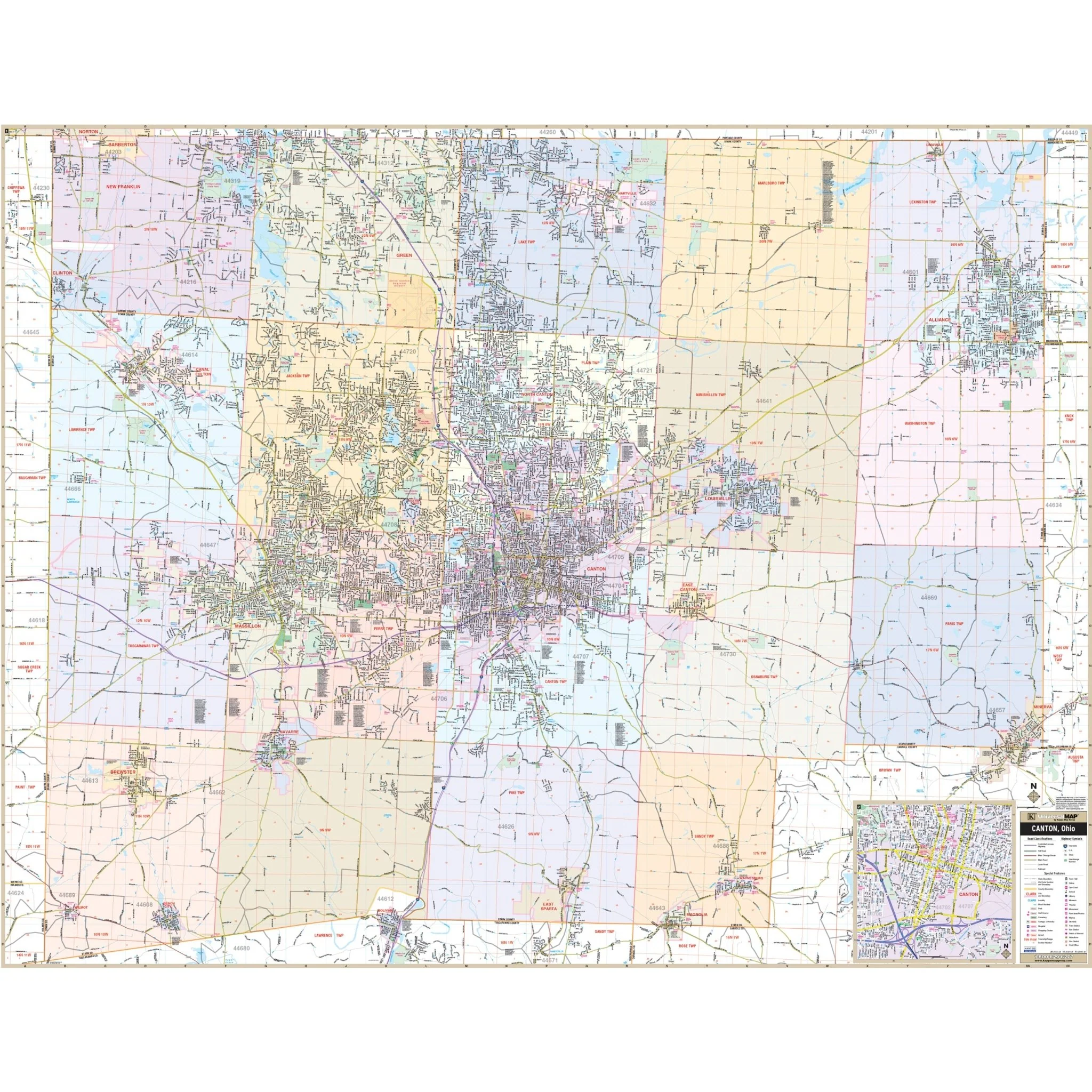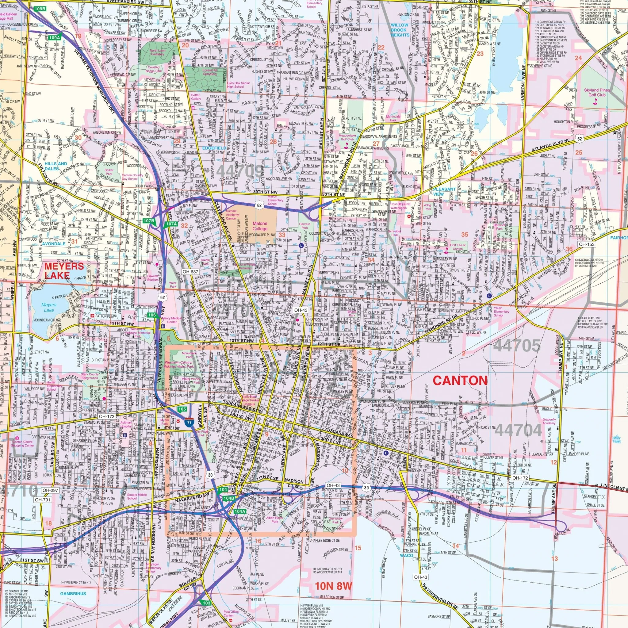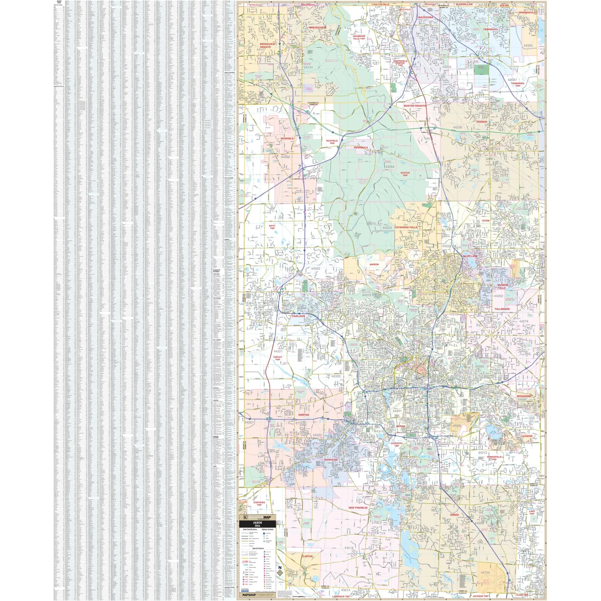


Akron & Summit County, OH Wall Map
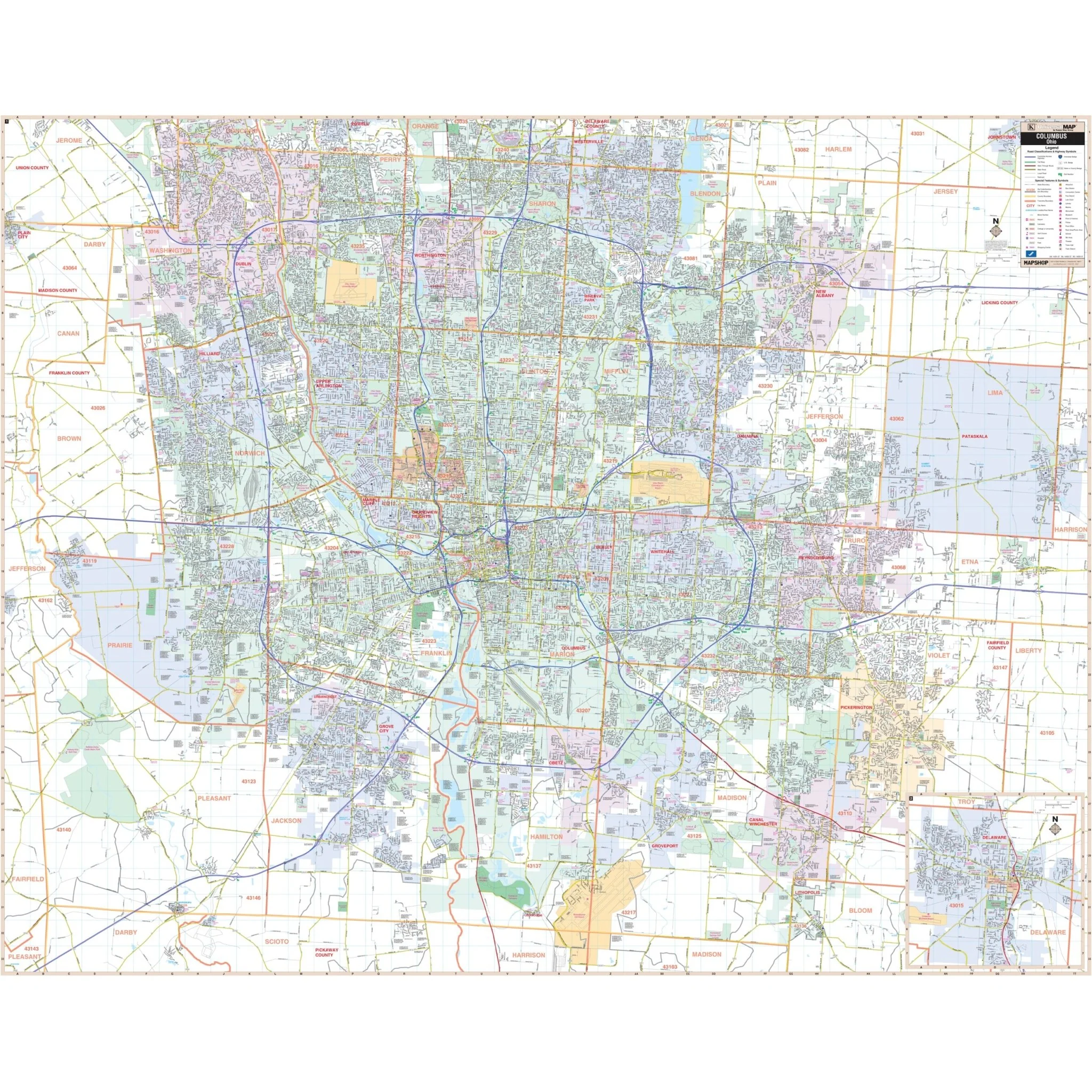
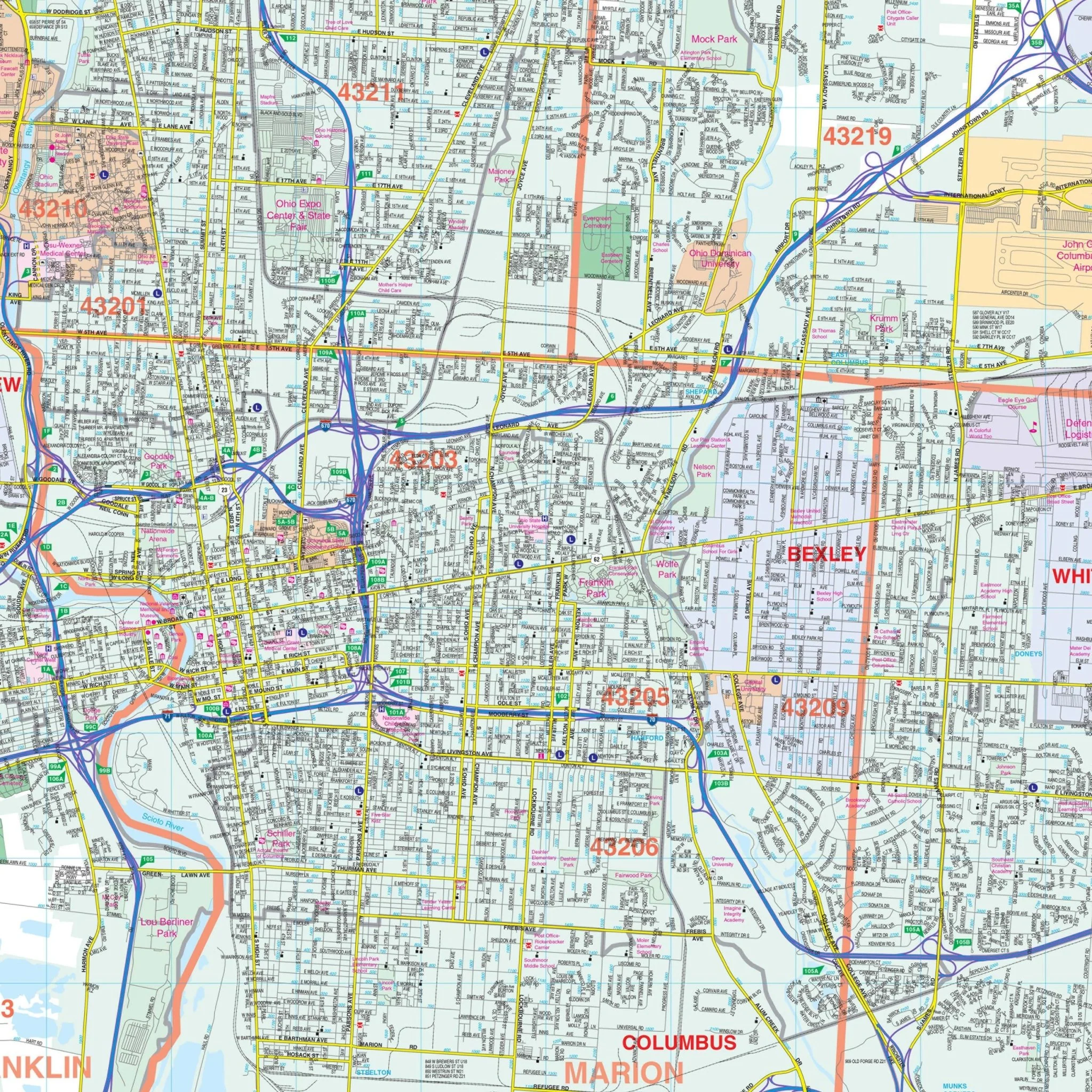
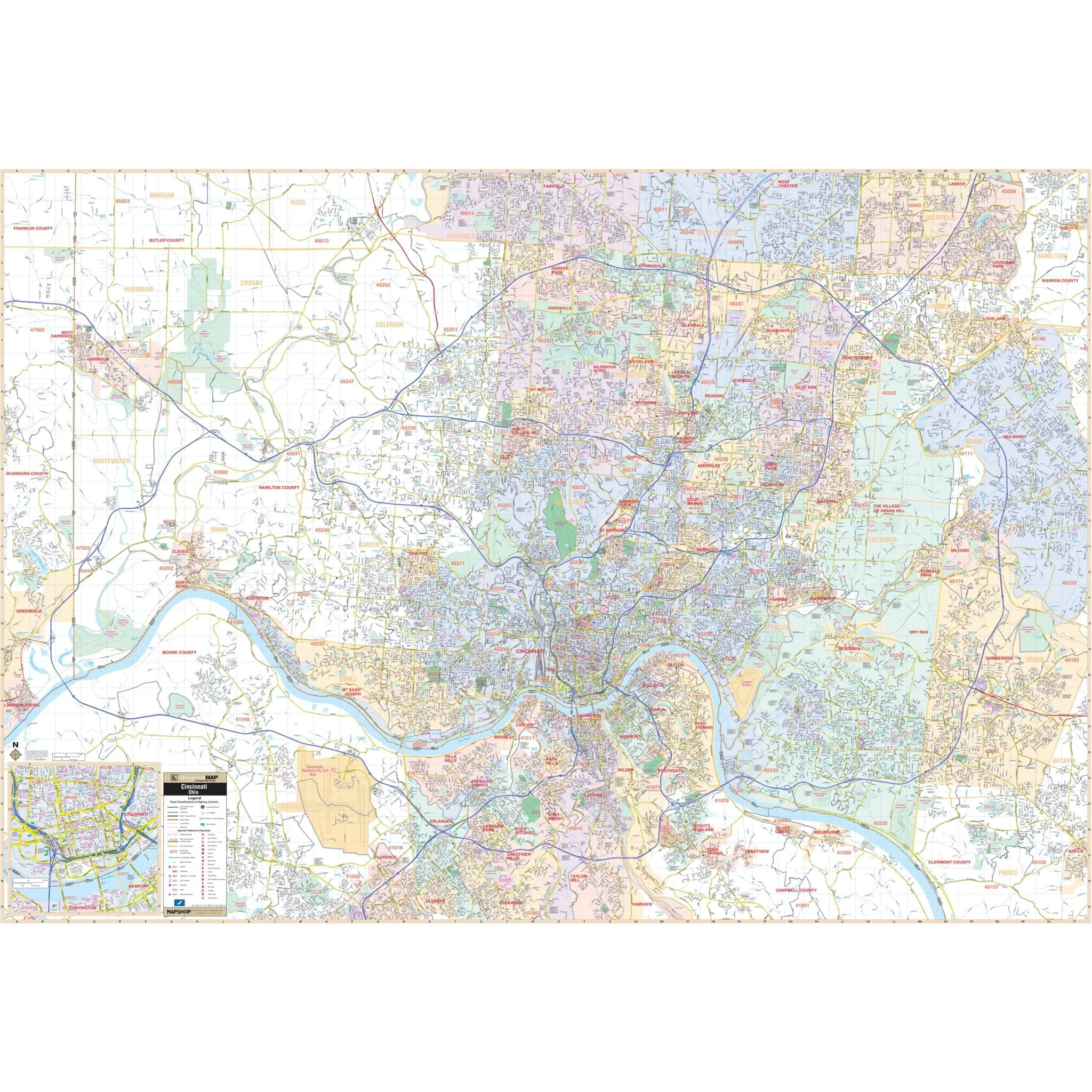
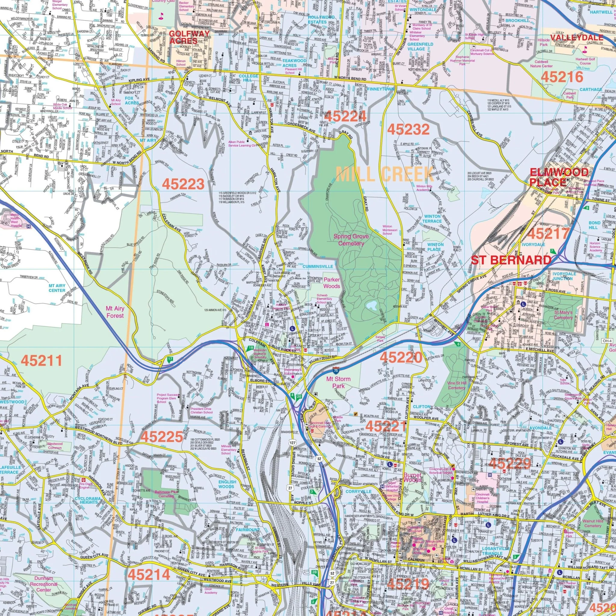
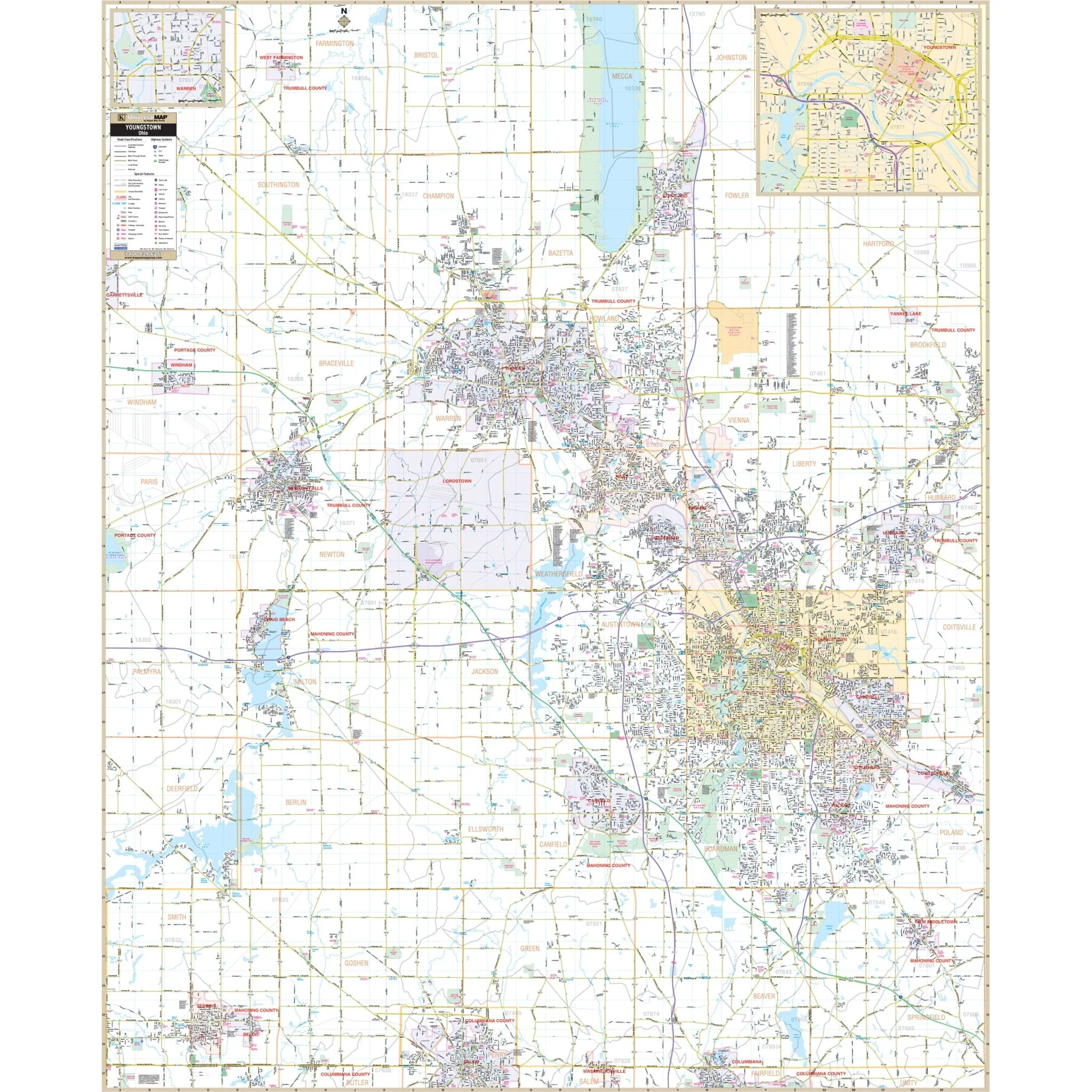
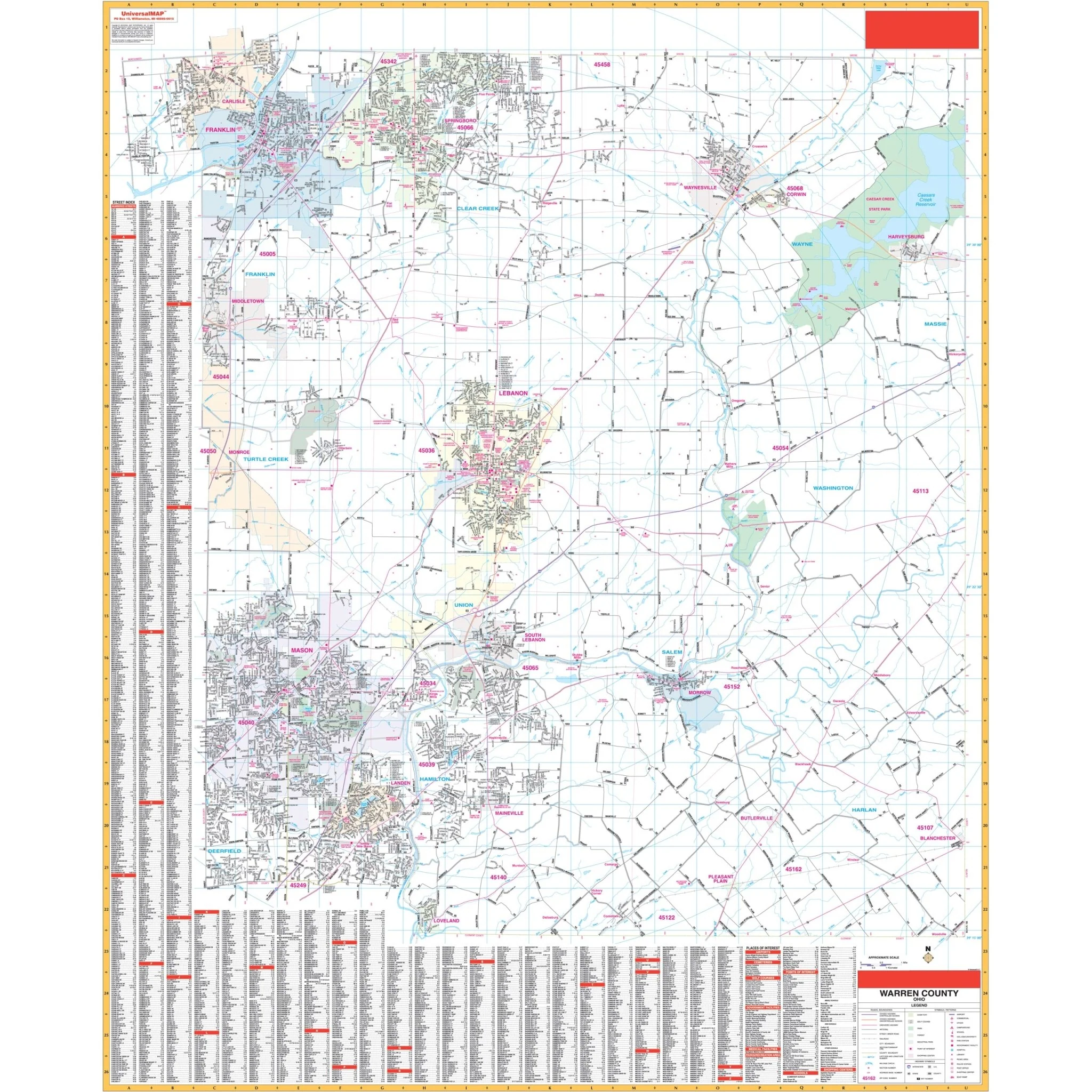
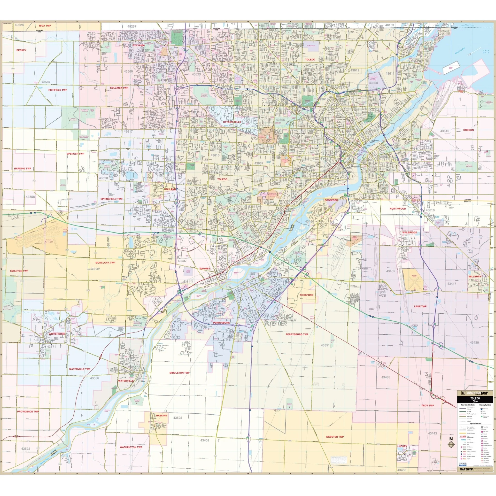
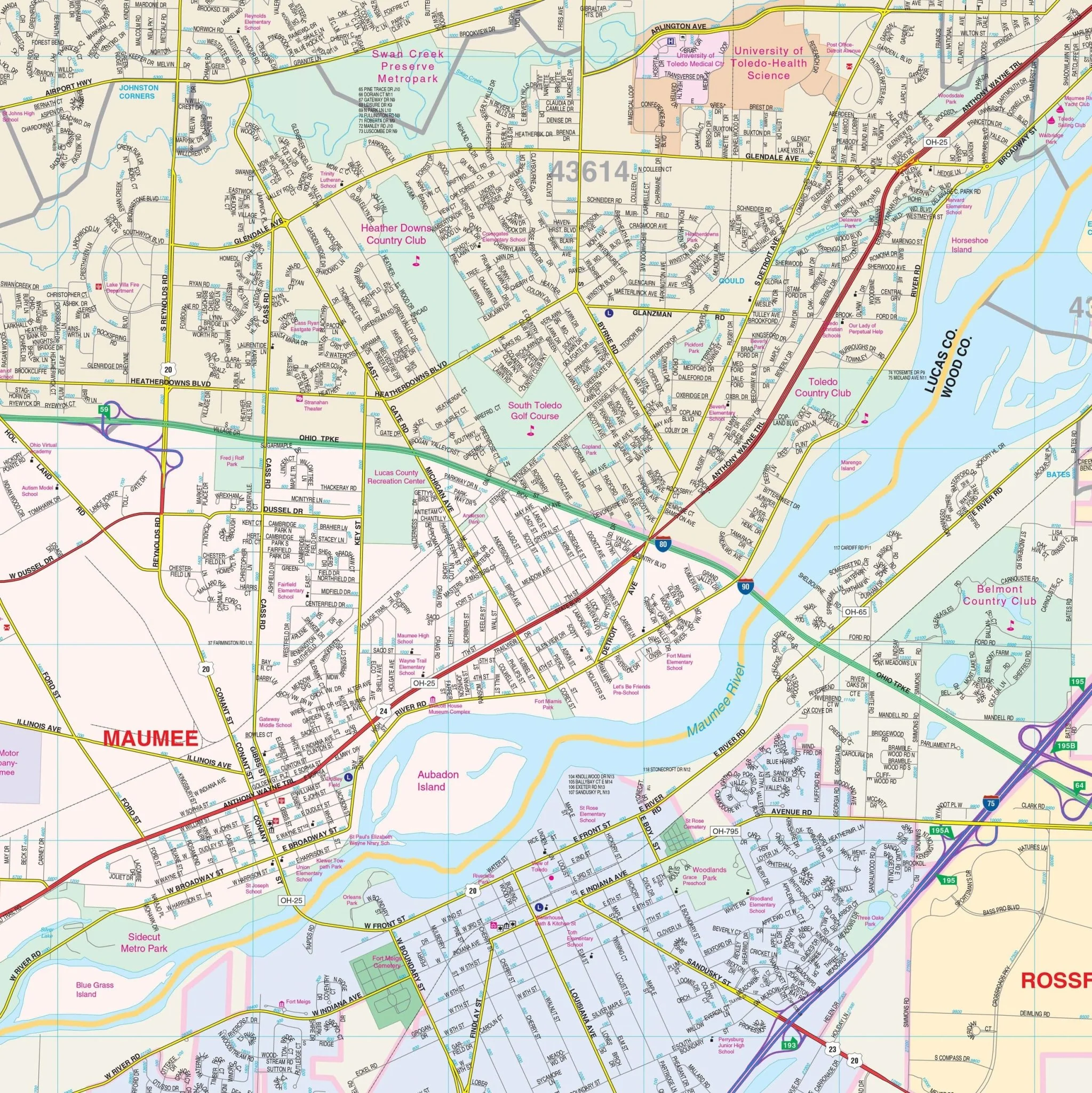
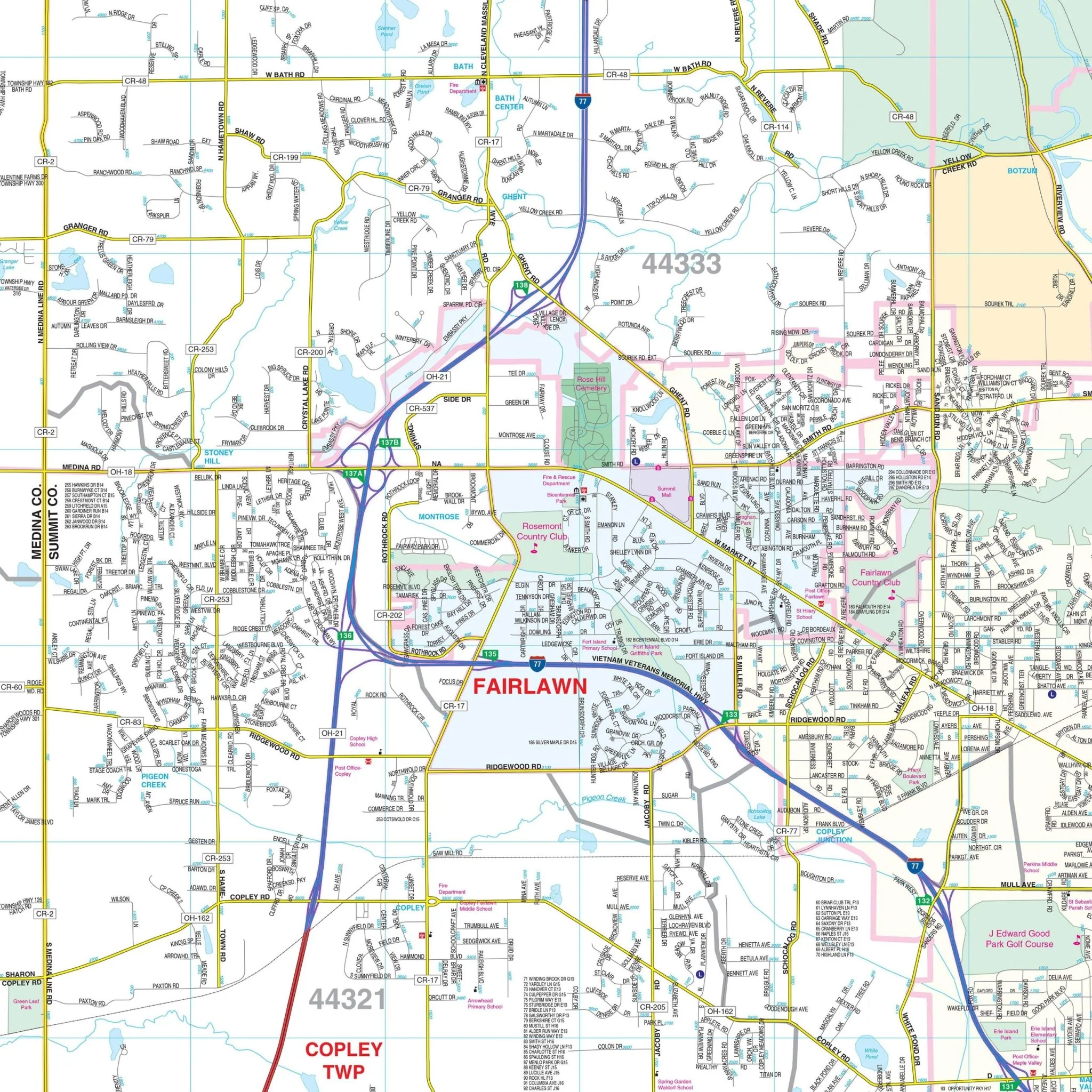
This Akron, Ohio Wall Map by Kappa Map Group offers complete street detail. Streets are indexed on the face of the map. The coverage area includes:
- North: to the Cuyahoga County line
- South: to the Stark County line
- East: to the Portage County line
- West: to the Medina County line
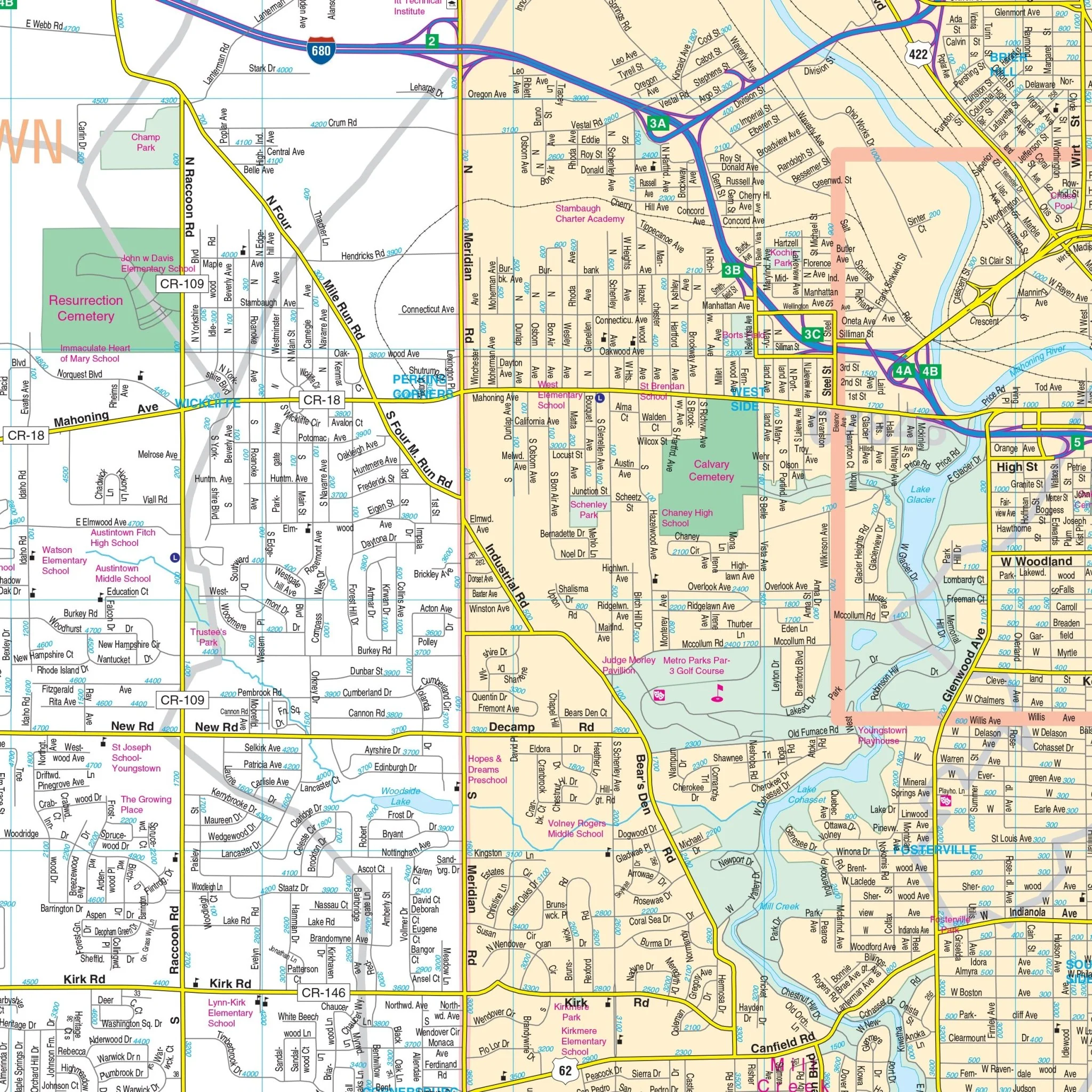
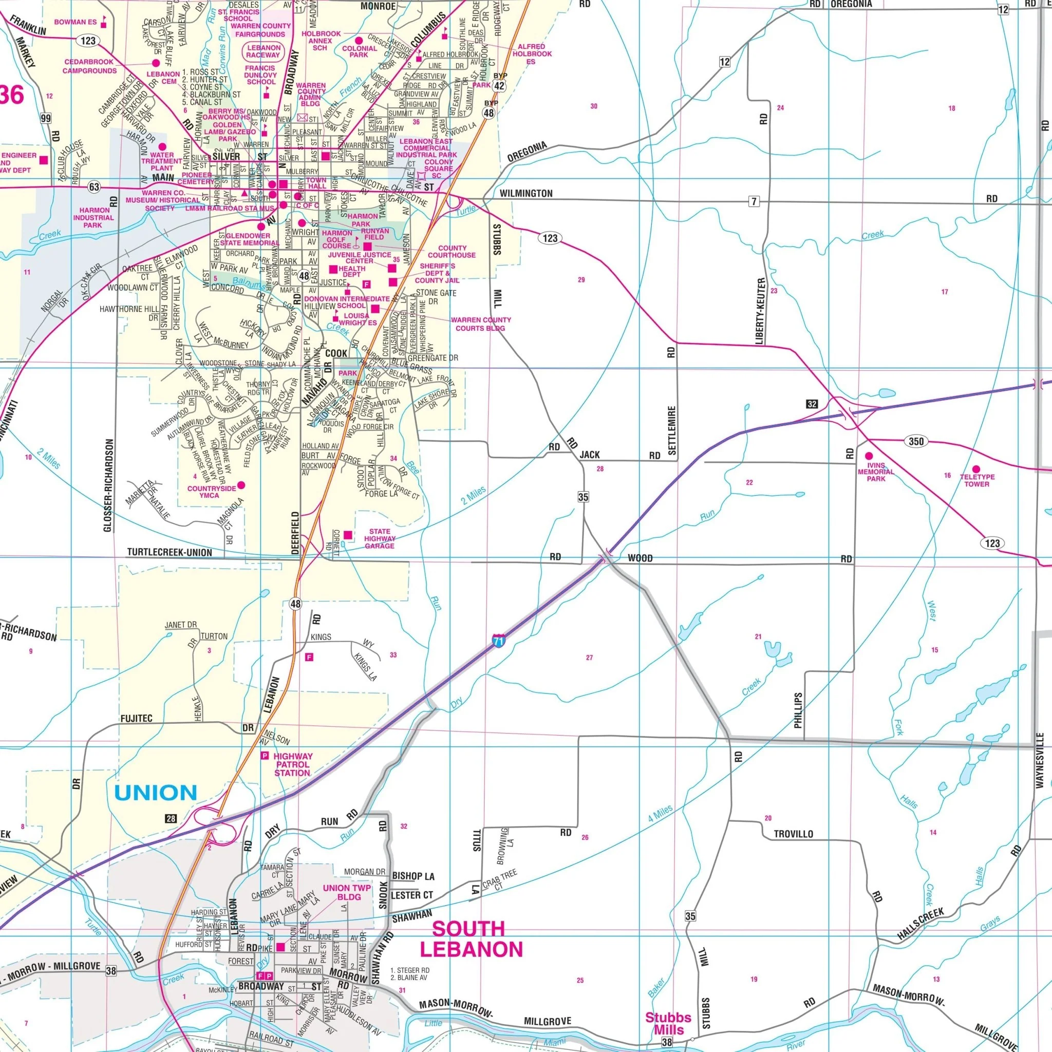
The map also features an inset of Downtown Akron. Details on the map encompass streets, airports, government buildings, post offices, cemeteries, fire and police stations, hospitals, shopping centers, educational institutions, railroads, water features, golf and country clubs, mileage circles, recreational parks, ZIP codes and boundaries, and block numbers.
Size: 57" x 69"
Published: 2016
Original: $149.99
-70%$149.99
$45.00Product Information
Product Information
Shipping & Returns
Shipping & Returns
Description
This Akron, Ohio Wall Map by Kappa Map Group offers complete street detail. Streets are indexed on the face of the map. The coverage area includes:
- North: to the Cuyahoga County line
- South: to the Stark County line
- East: to the Portage County line
- West: to the Medina County line
The map also features an inset of Downtown Akron. Details on the map encompass streets, airports, government buildings, post offices, cemeteries, fire and police stations, hospitals, shopping centers, educational institutions, railroads, water features, golf and country clubs, mileage circles, recreational parks, ZIP codes and boundaries, and block numbers.
Size: 57" x 69"
Published: 2016