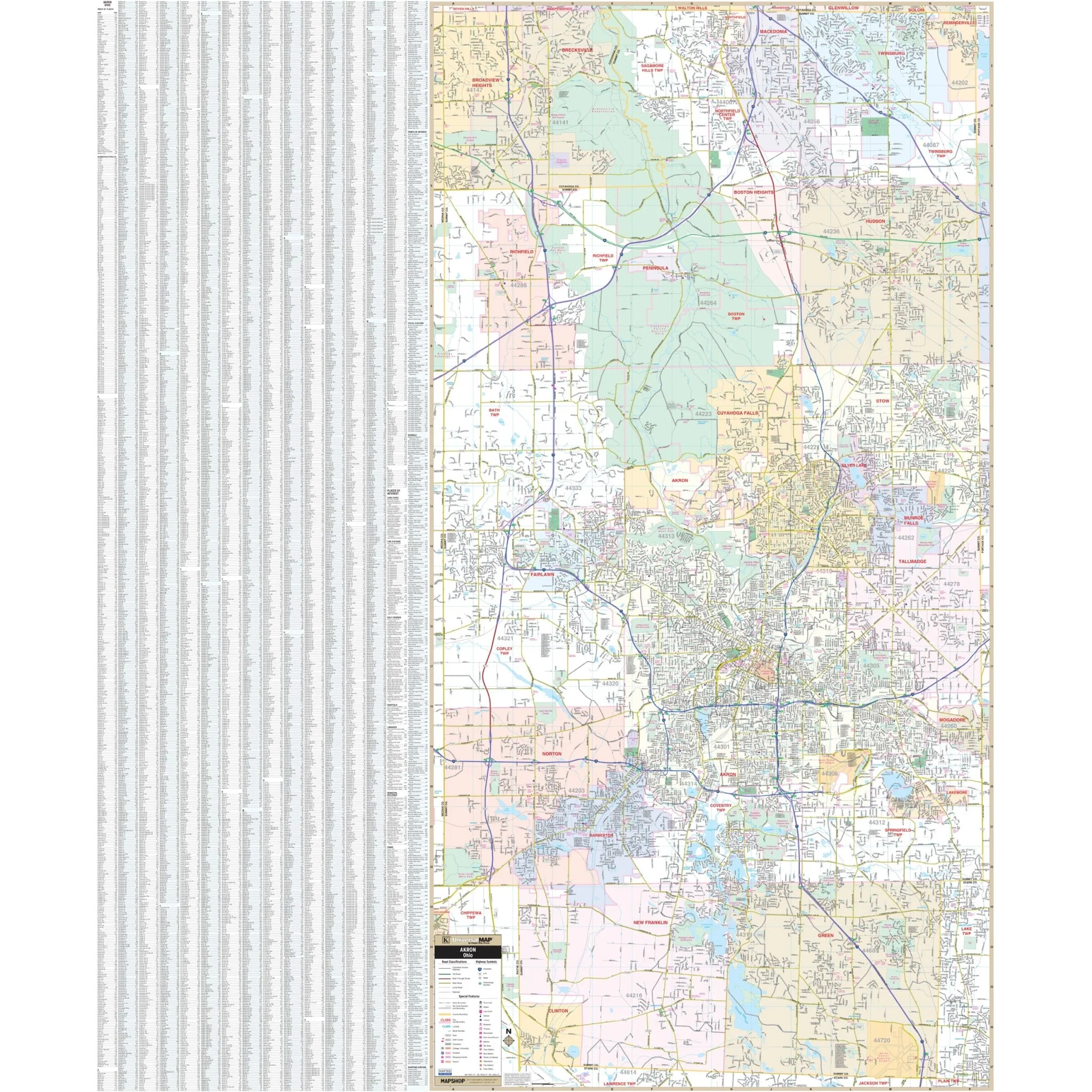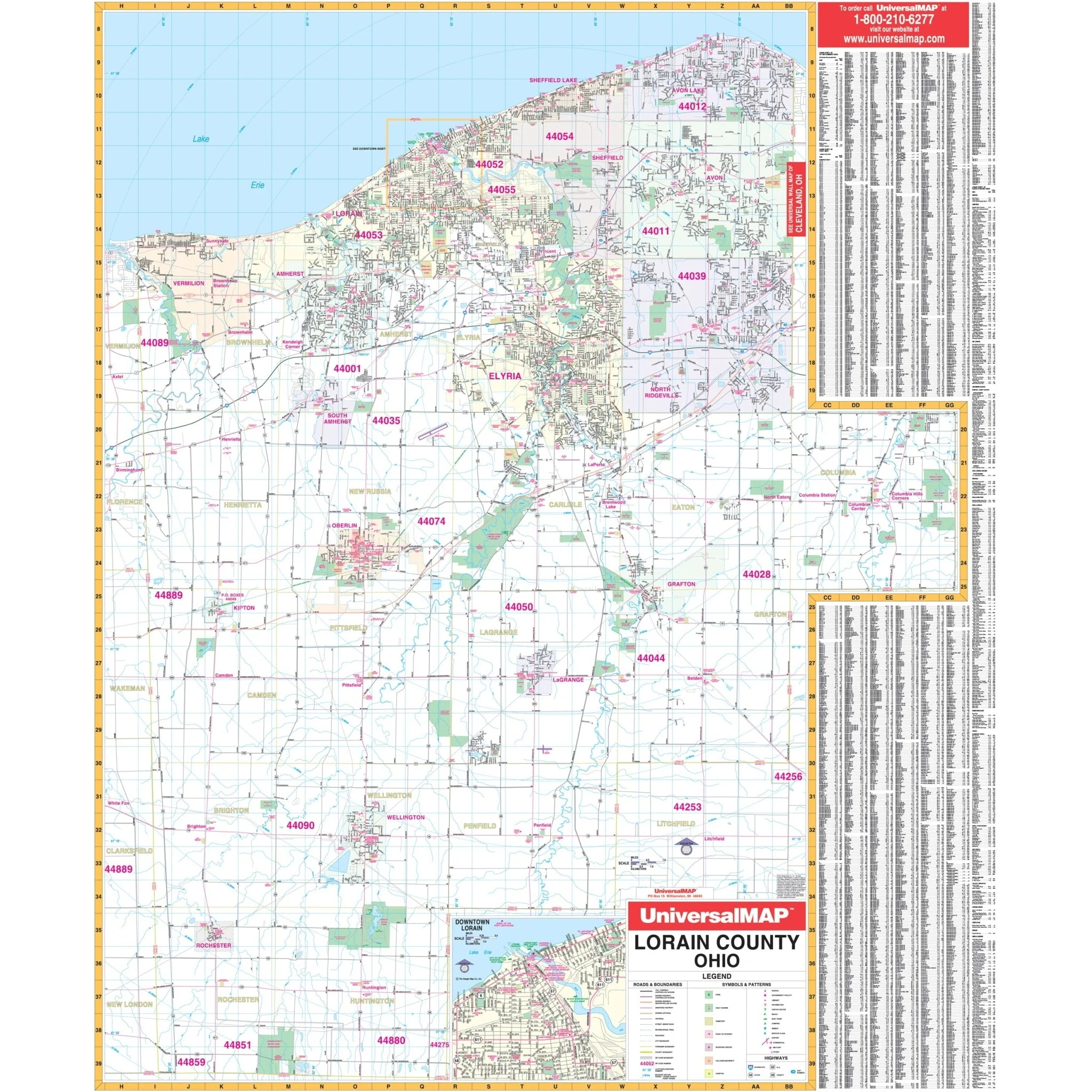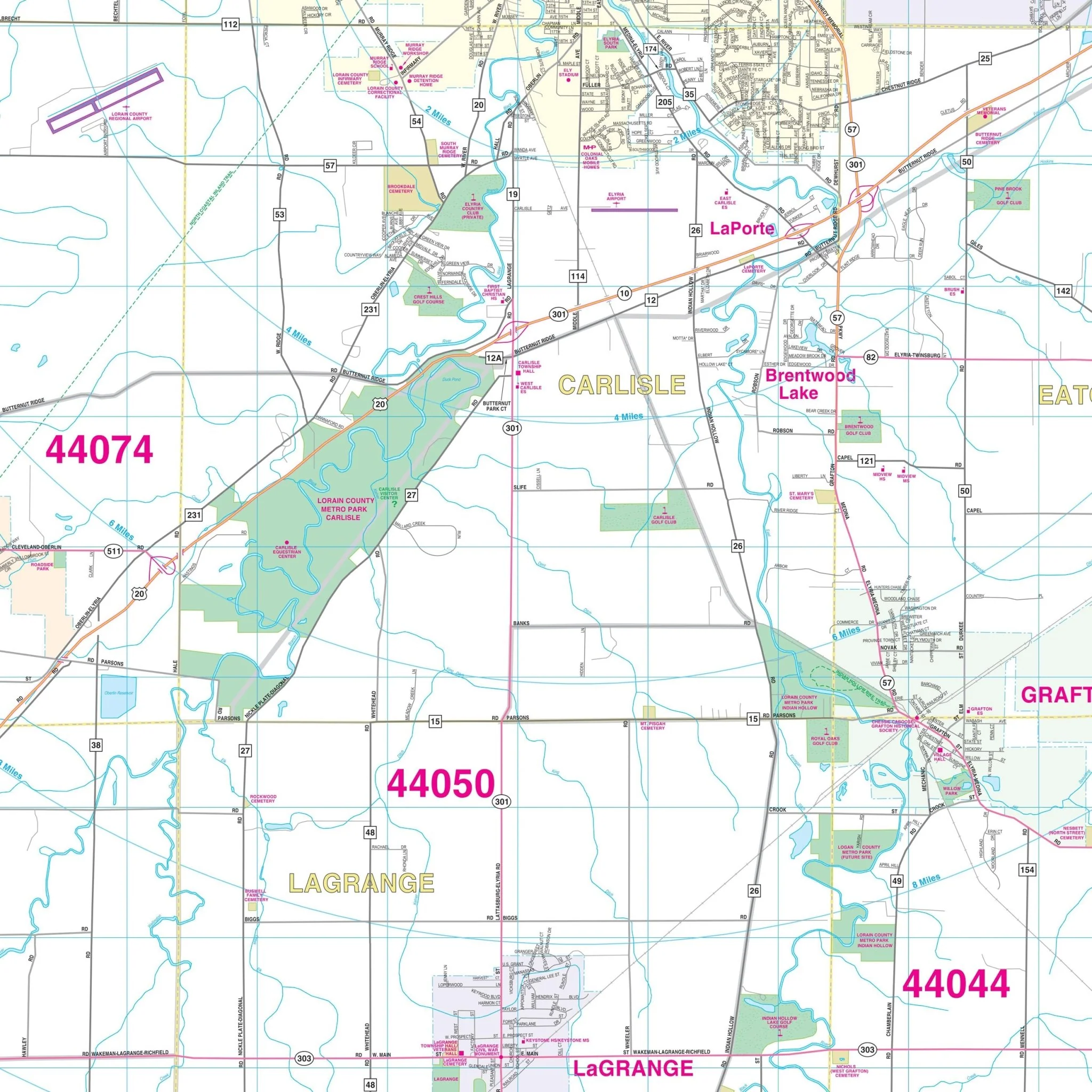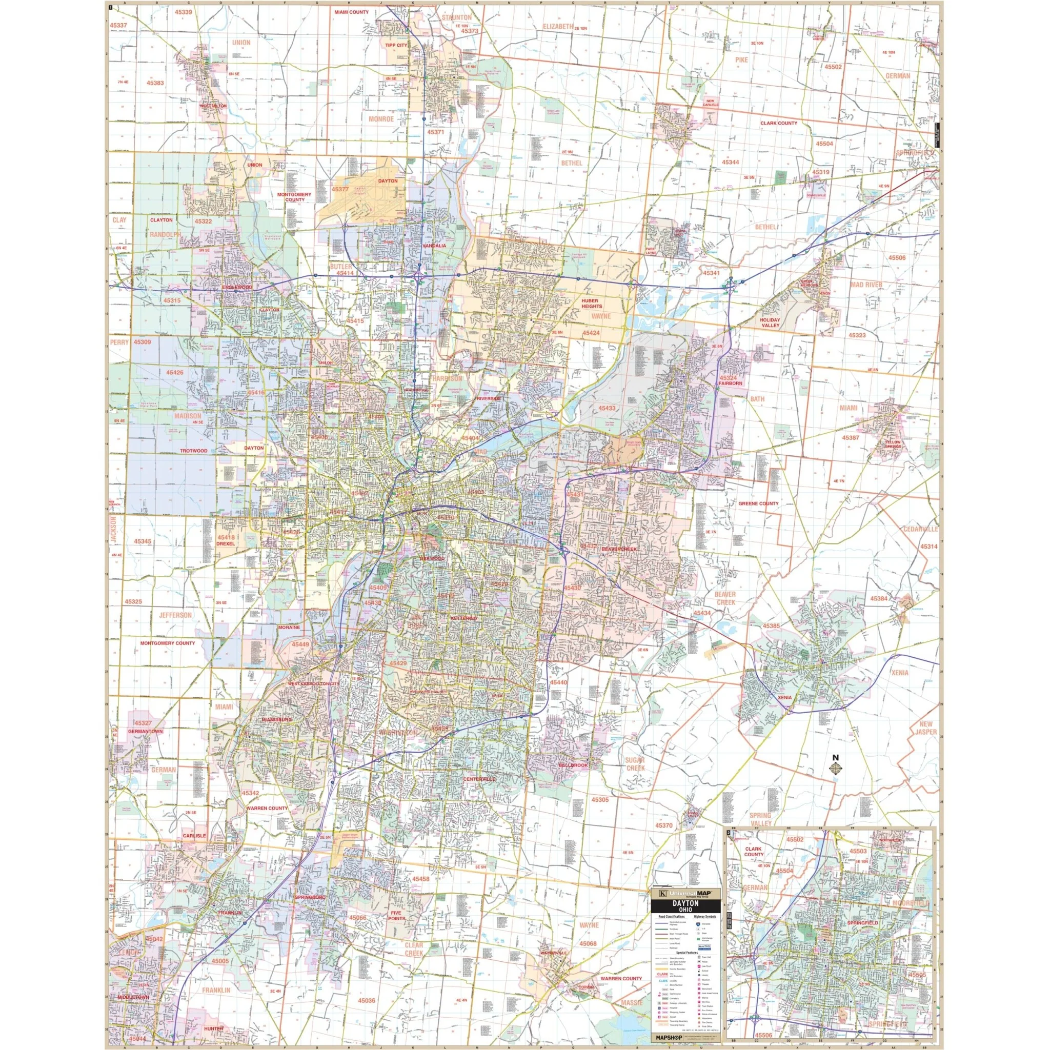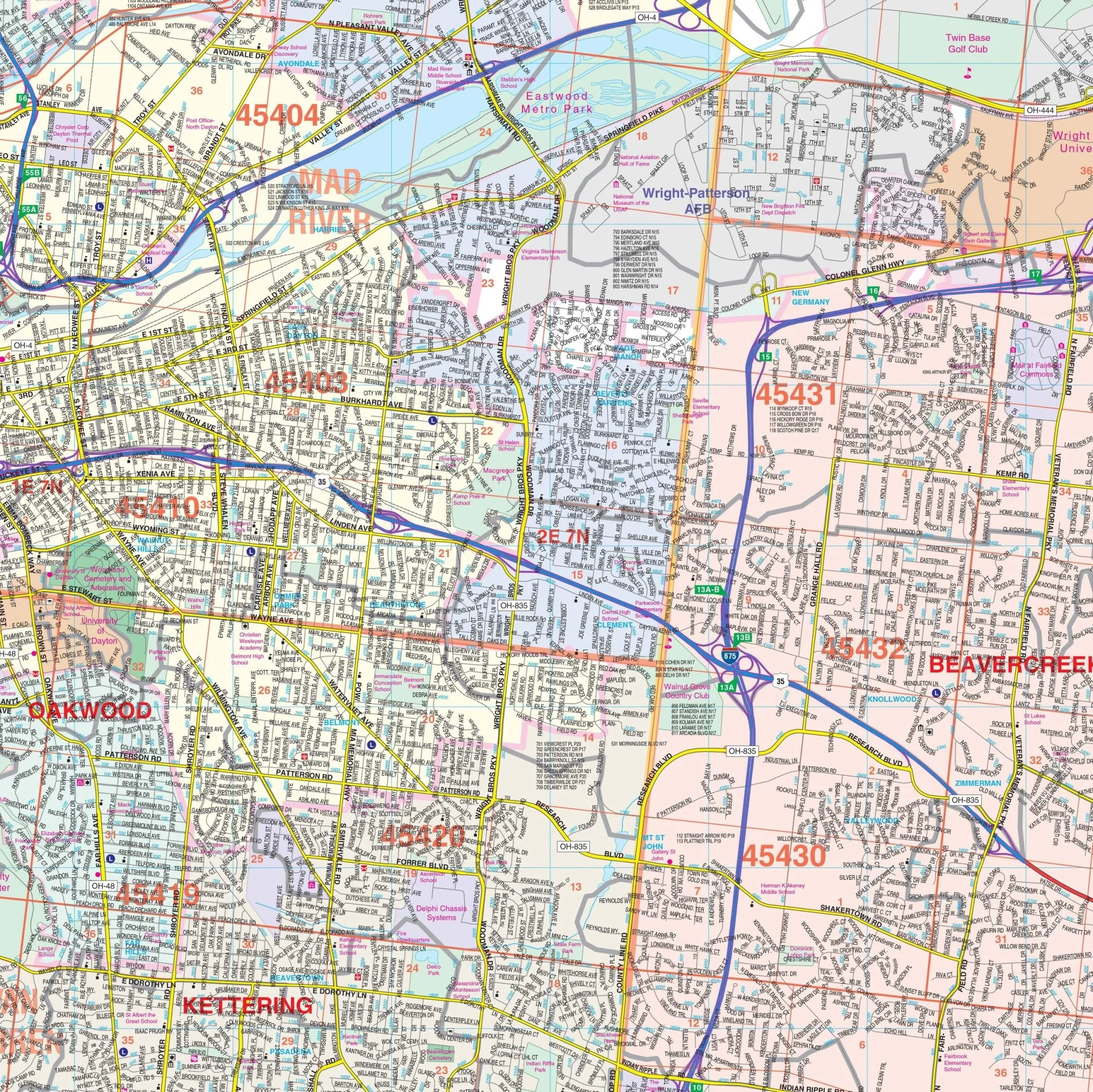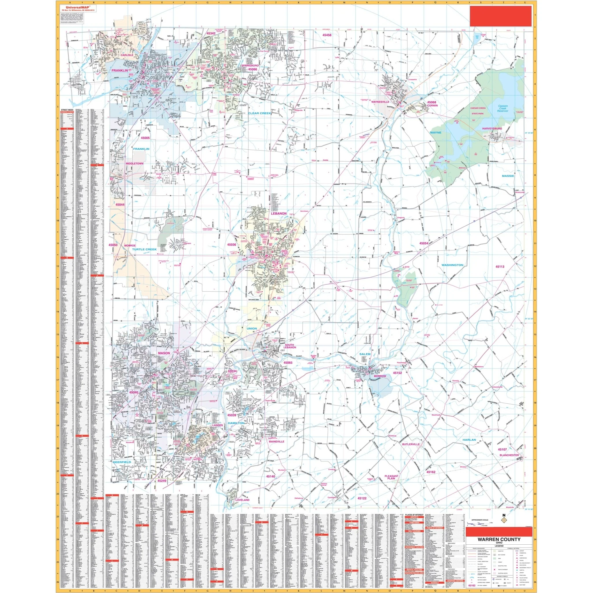
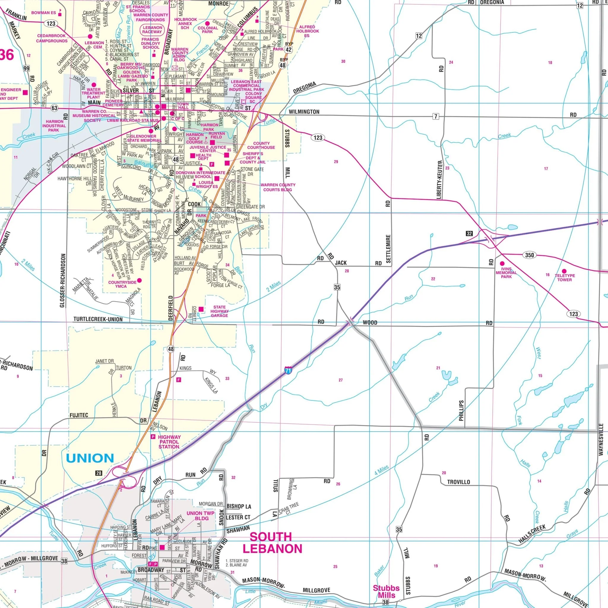


Warren, OH Wall Map
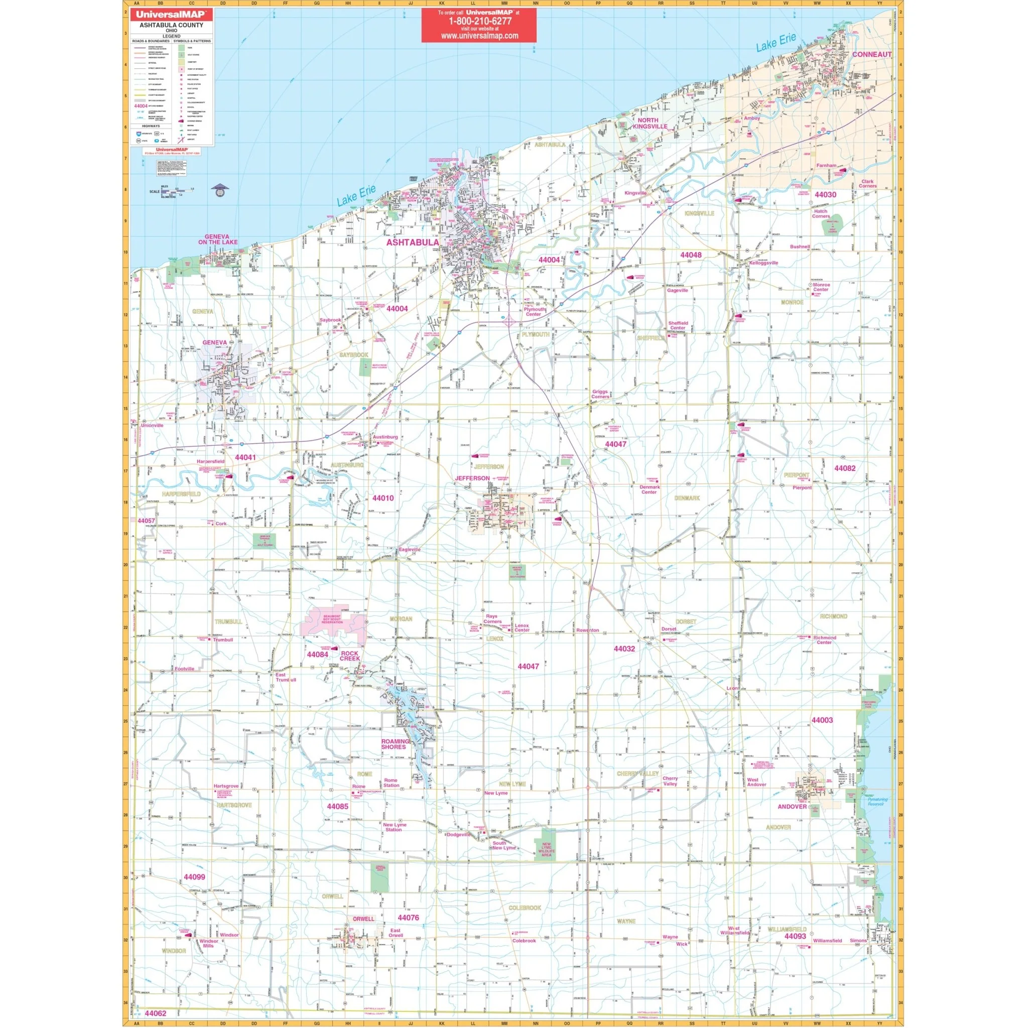
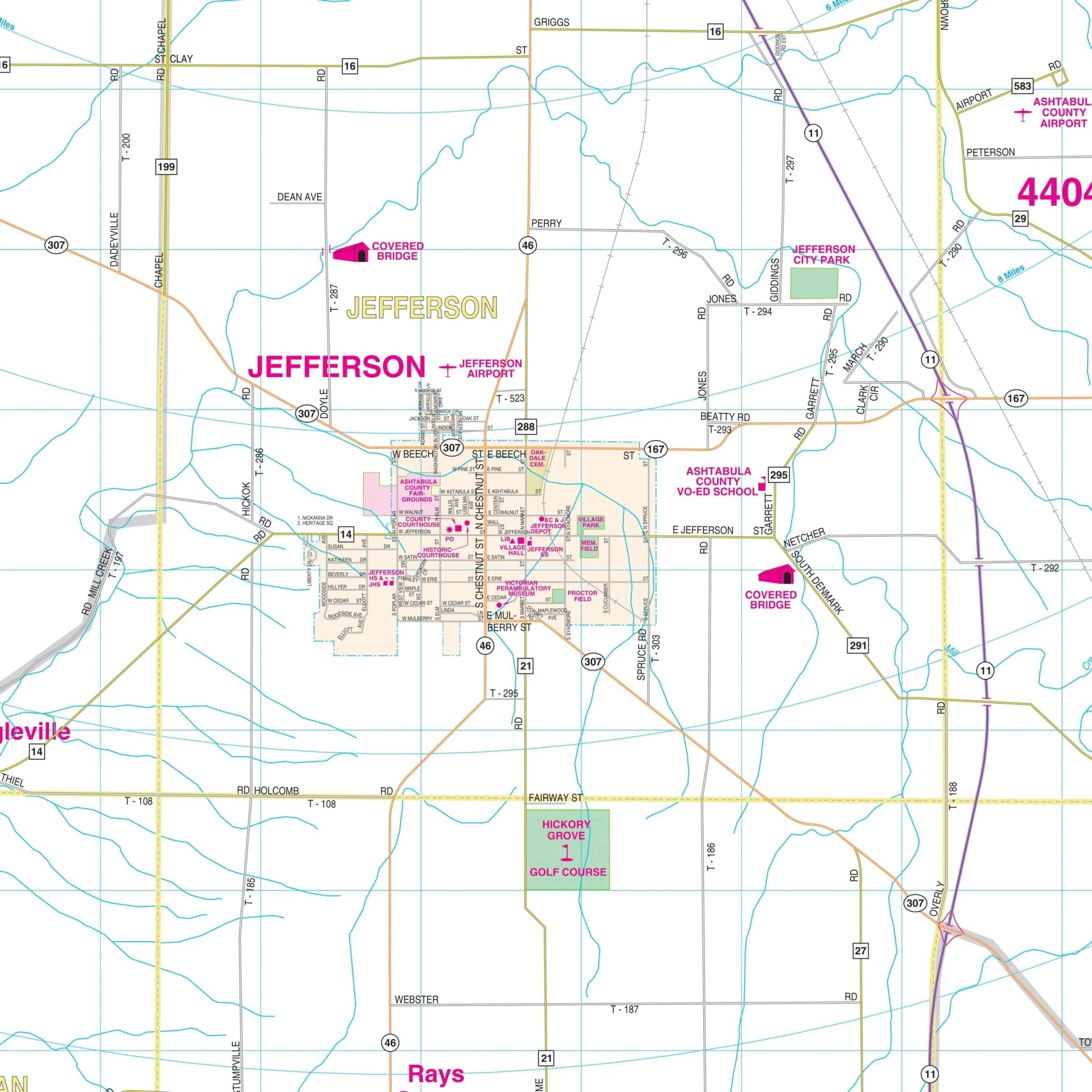
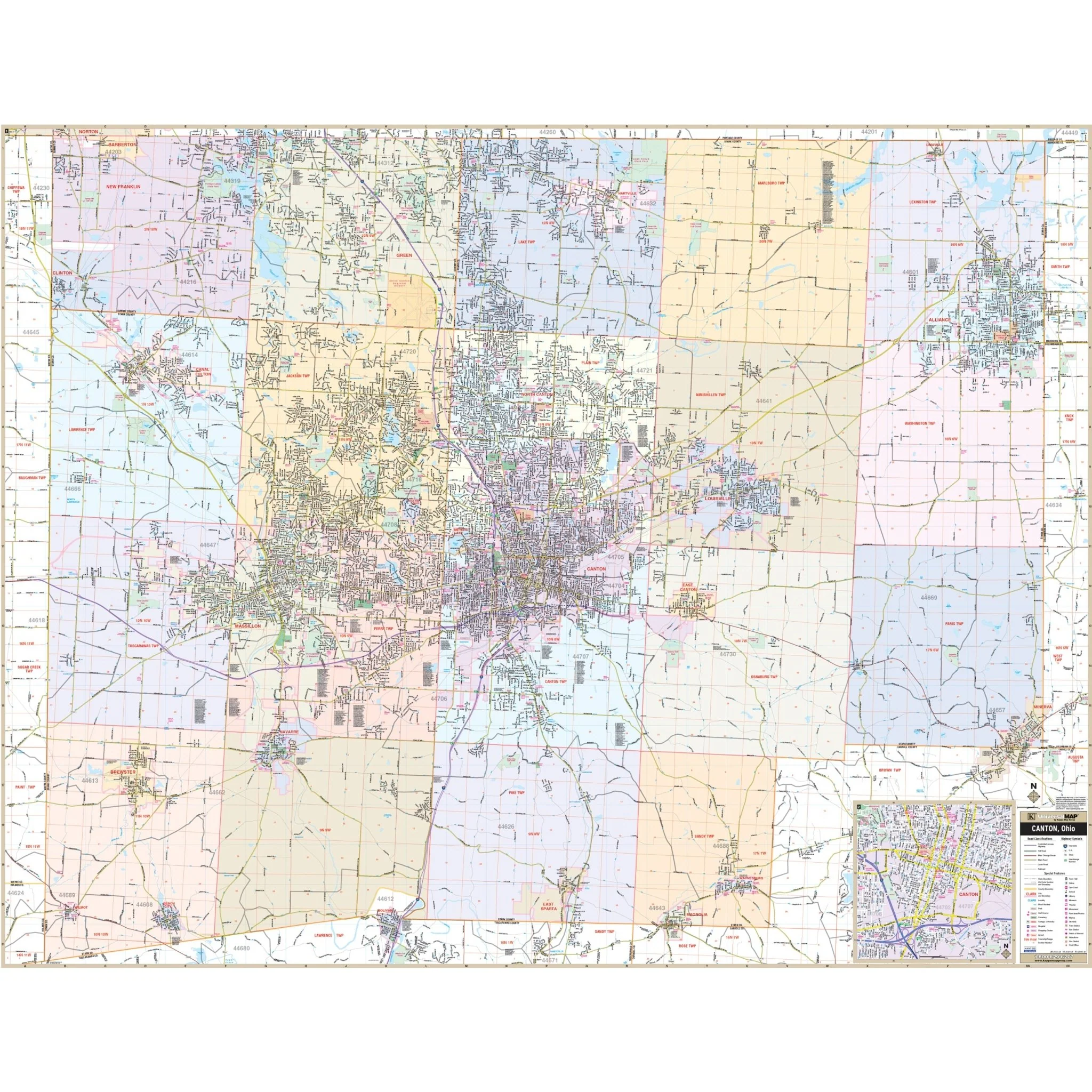
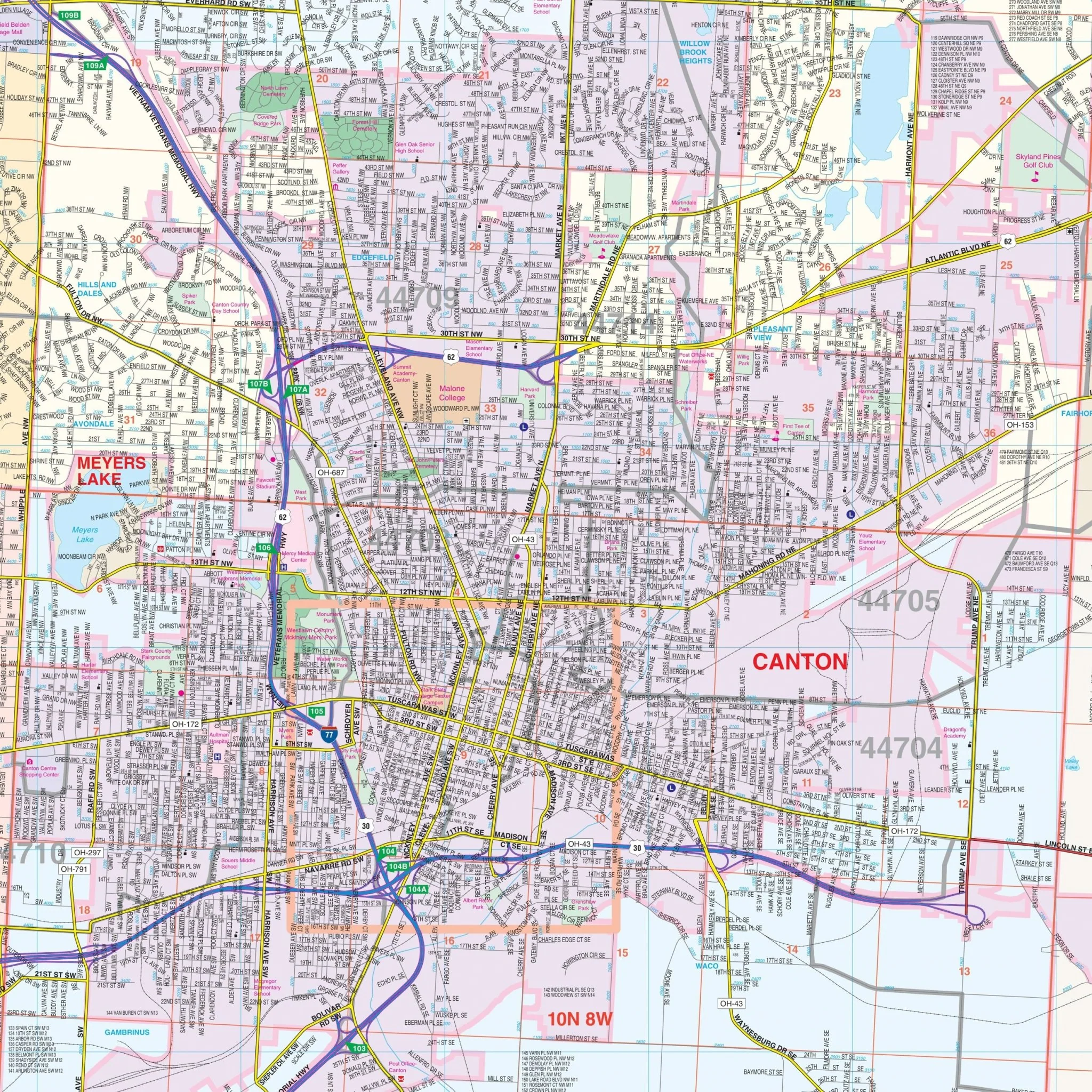
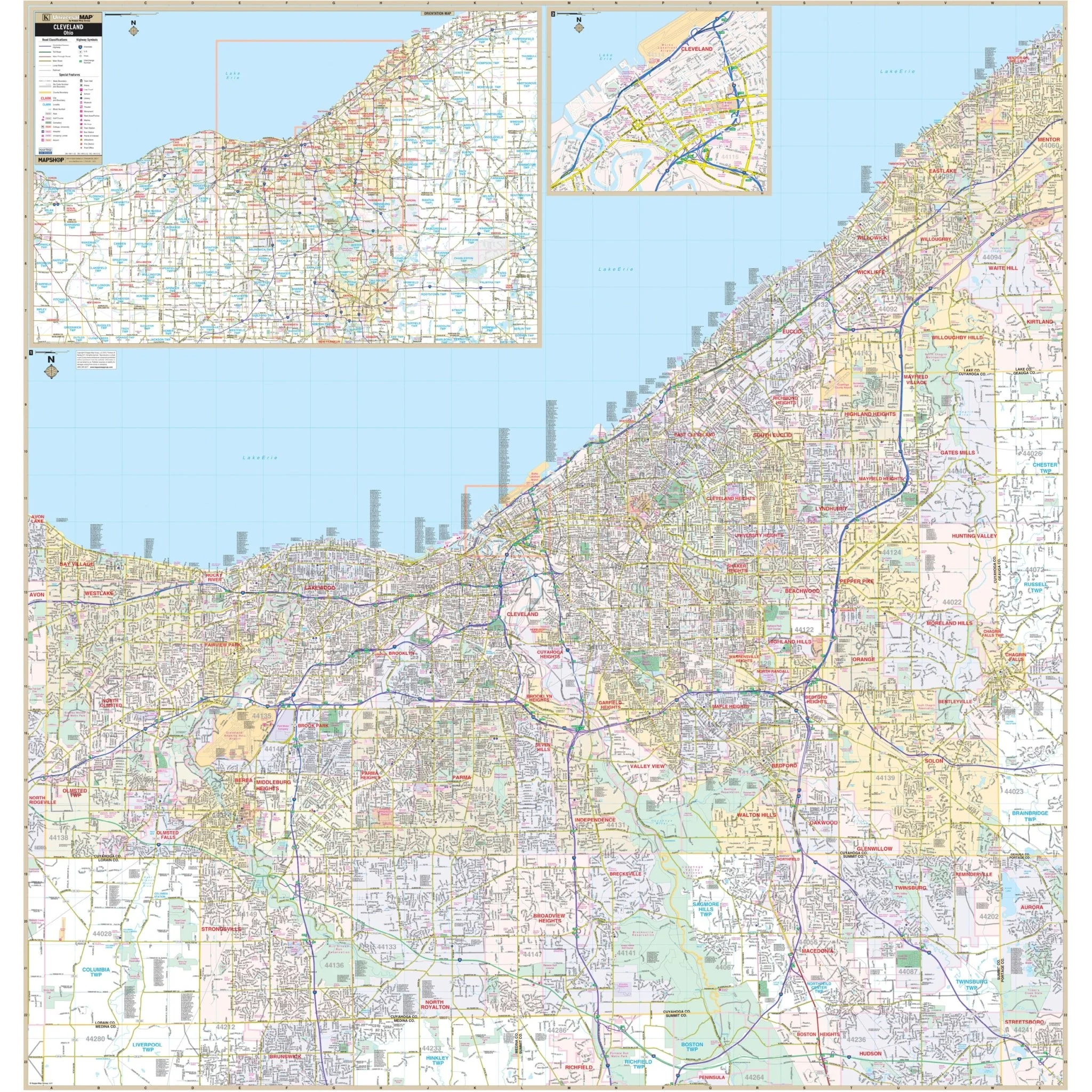
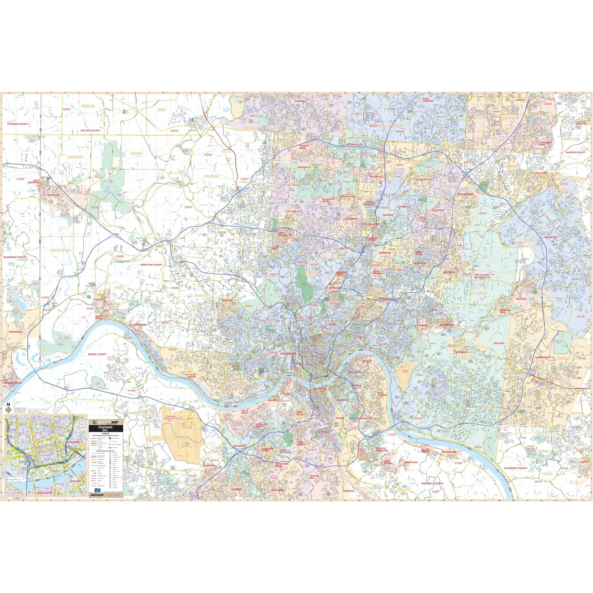
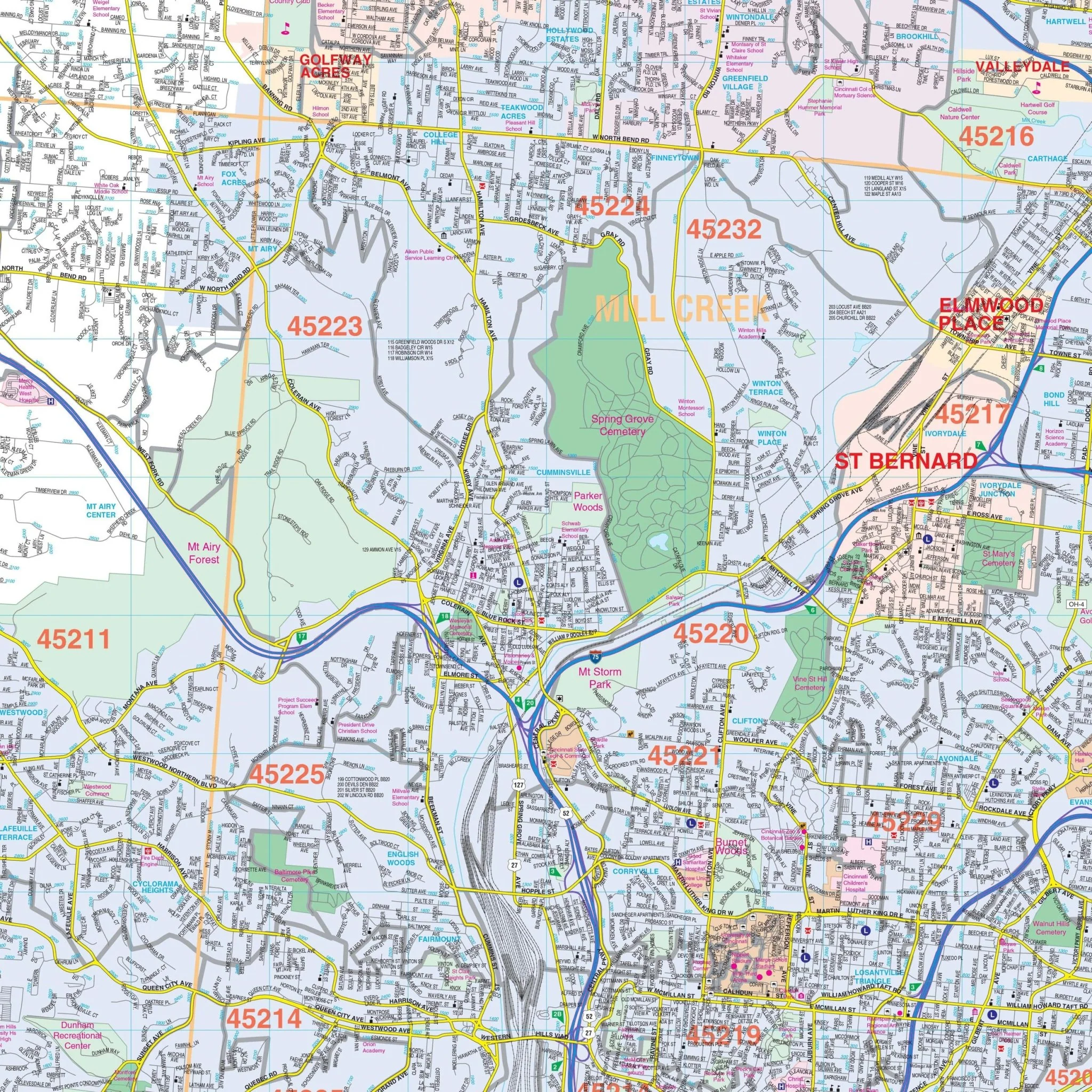
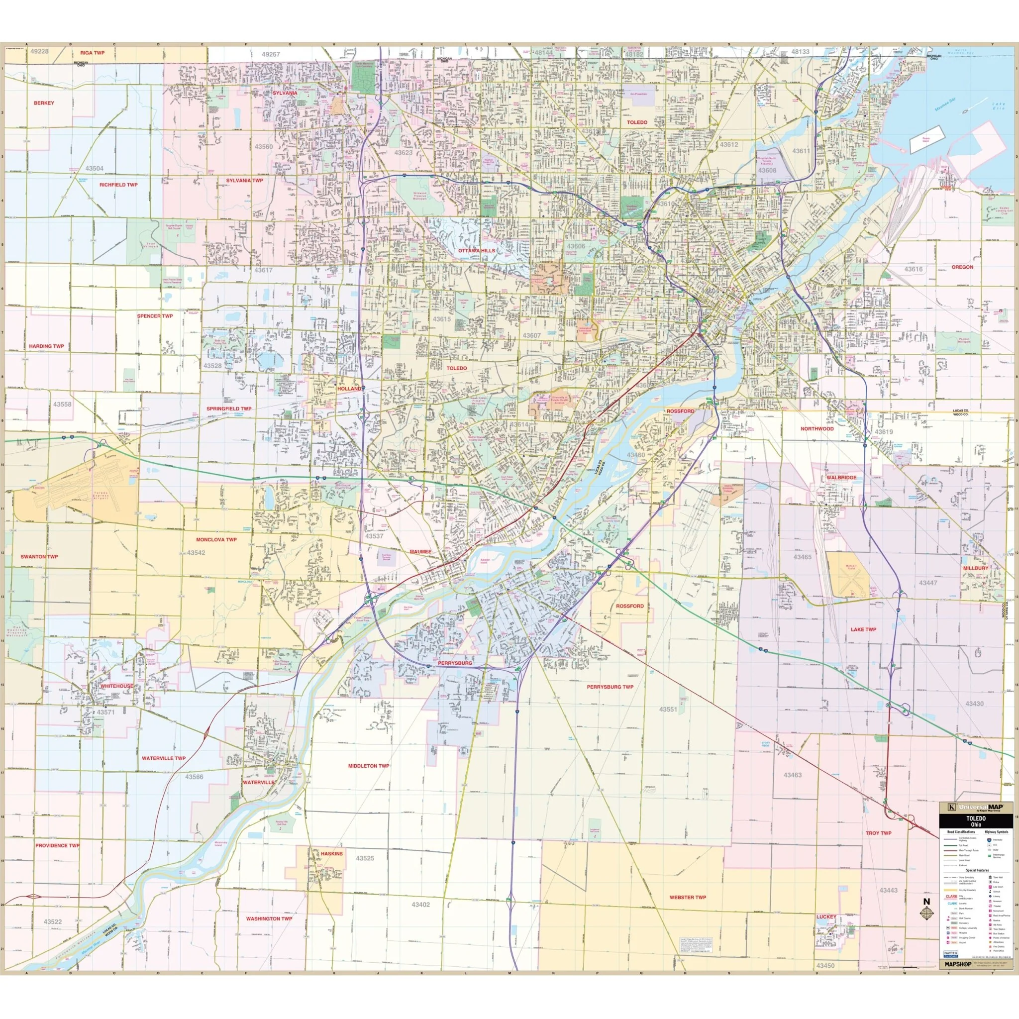
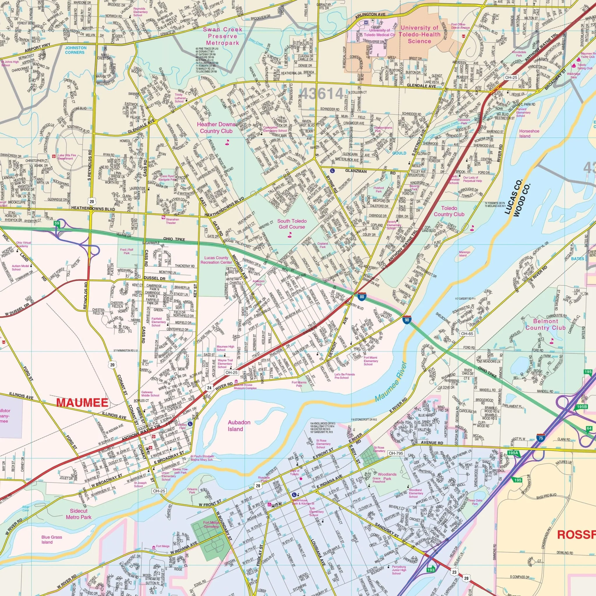
The Warren County, Ohio Wall Map by Kappa Map Group provides complete street detail. It covers all of Warren County with boundaries as follows:
- North: Montgomery-Green County line, including Carlisle, Franklin, and Springboro
- South: Clermont County line, including Landen, Maineville, and Loveland
- East: Clinton County line, including Harveysburg
- West: Butler County line
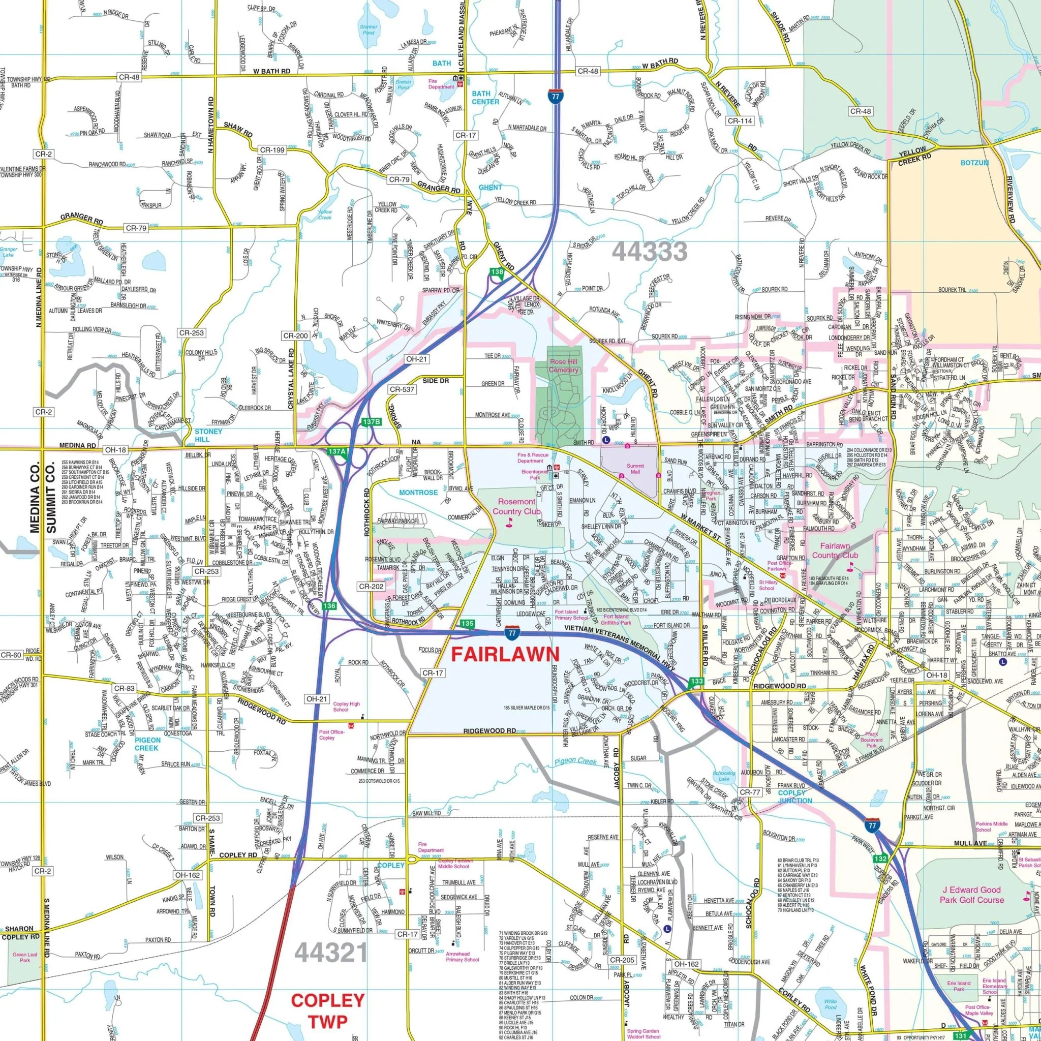
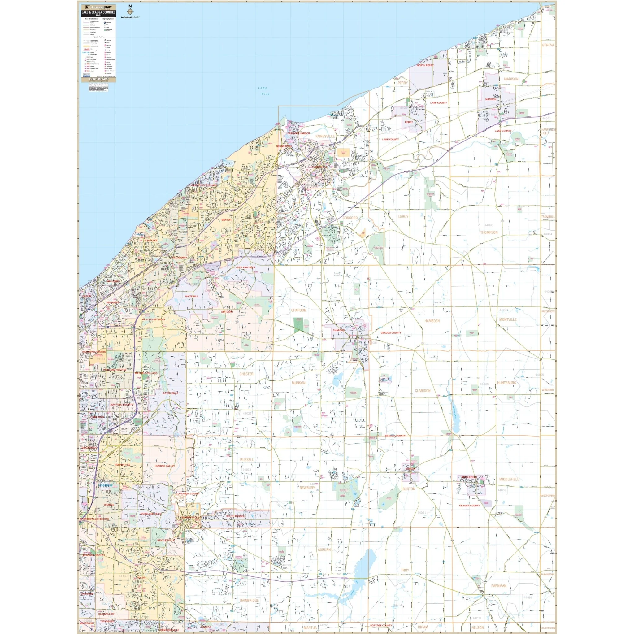
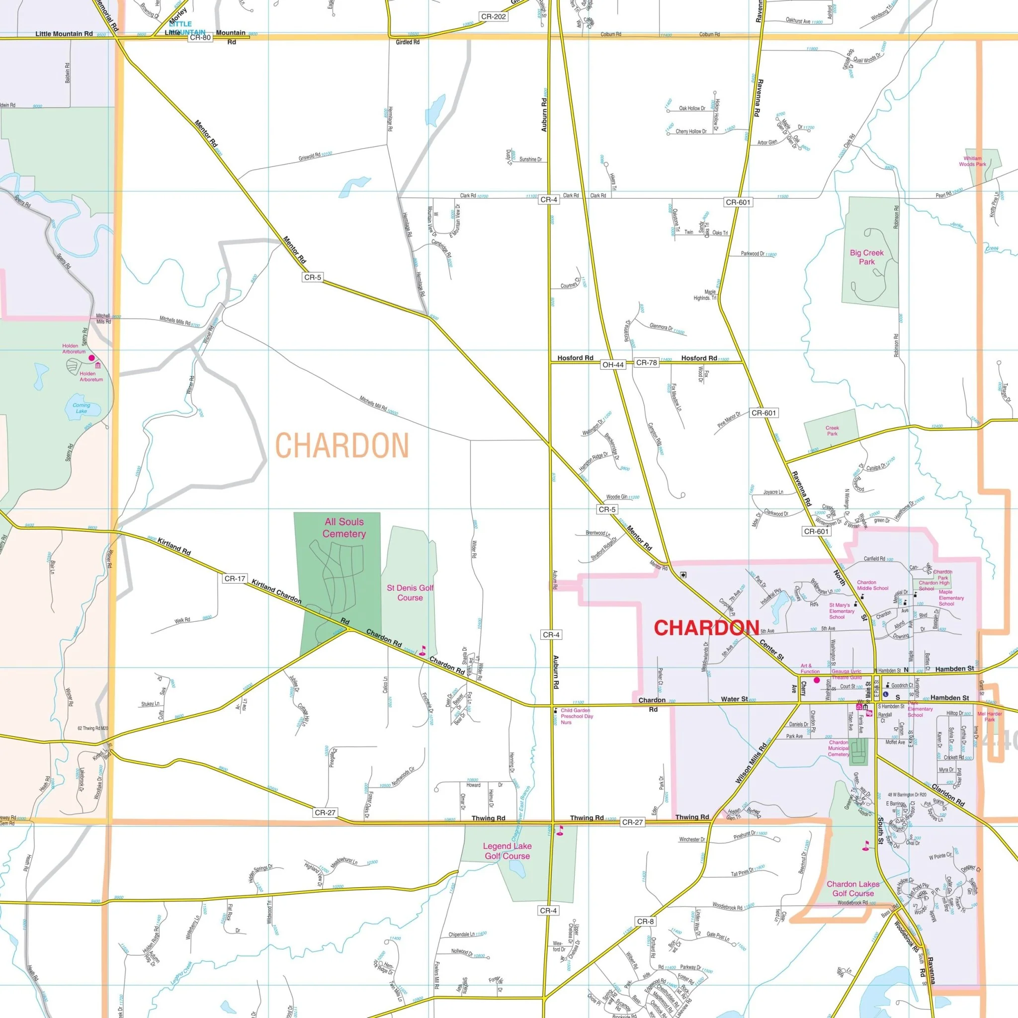
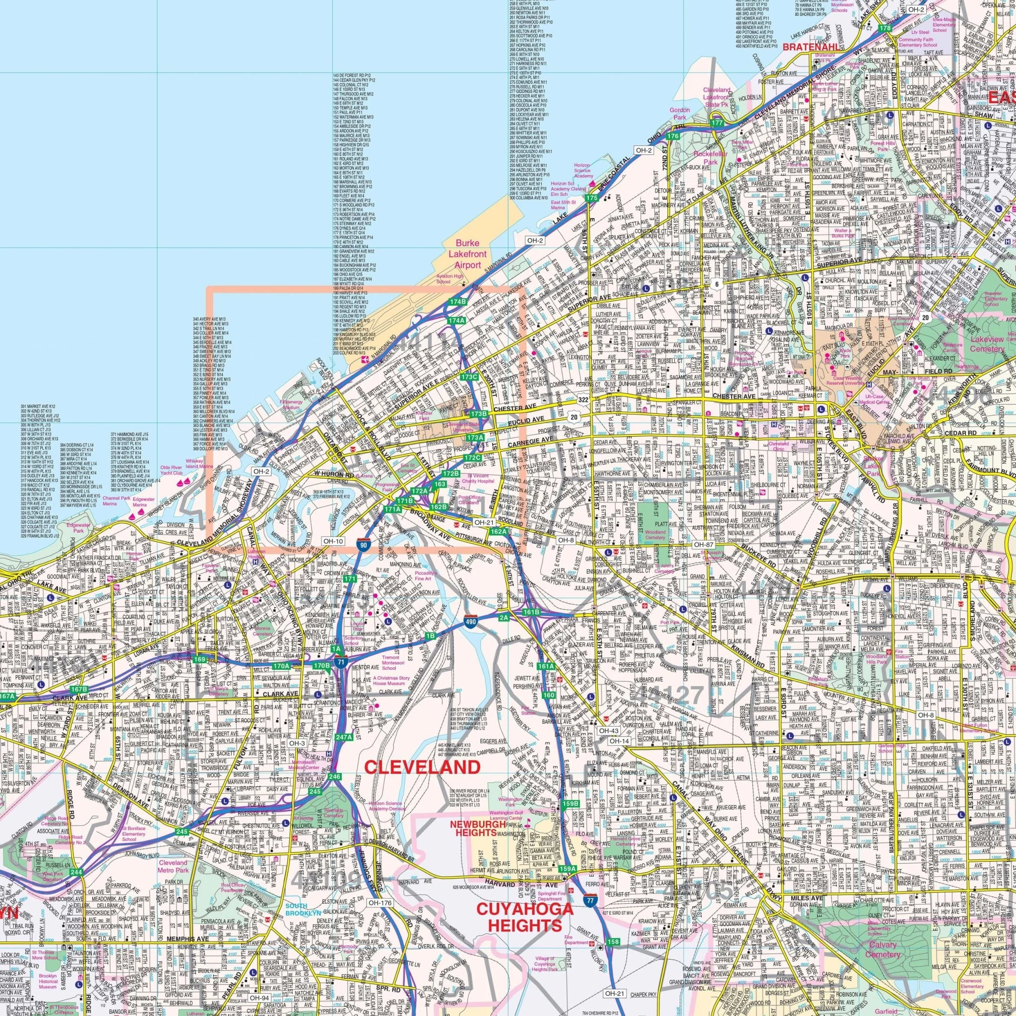
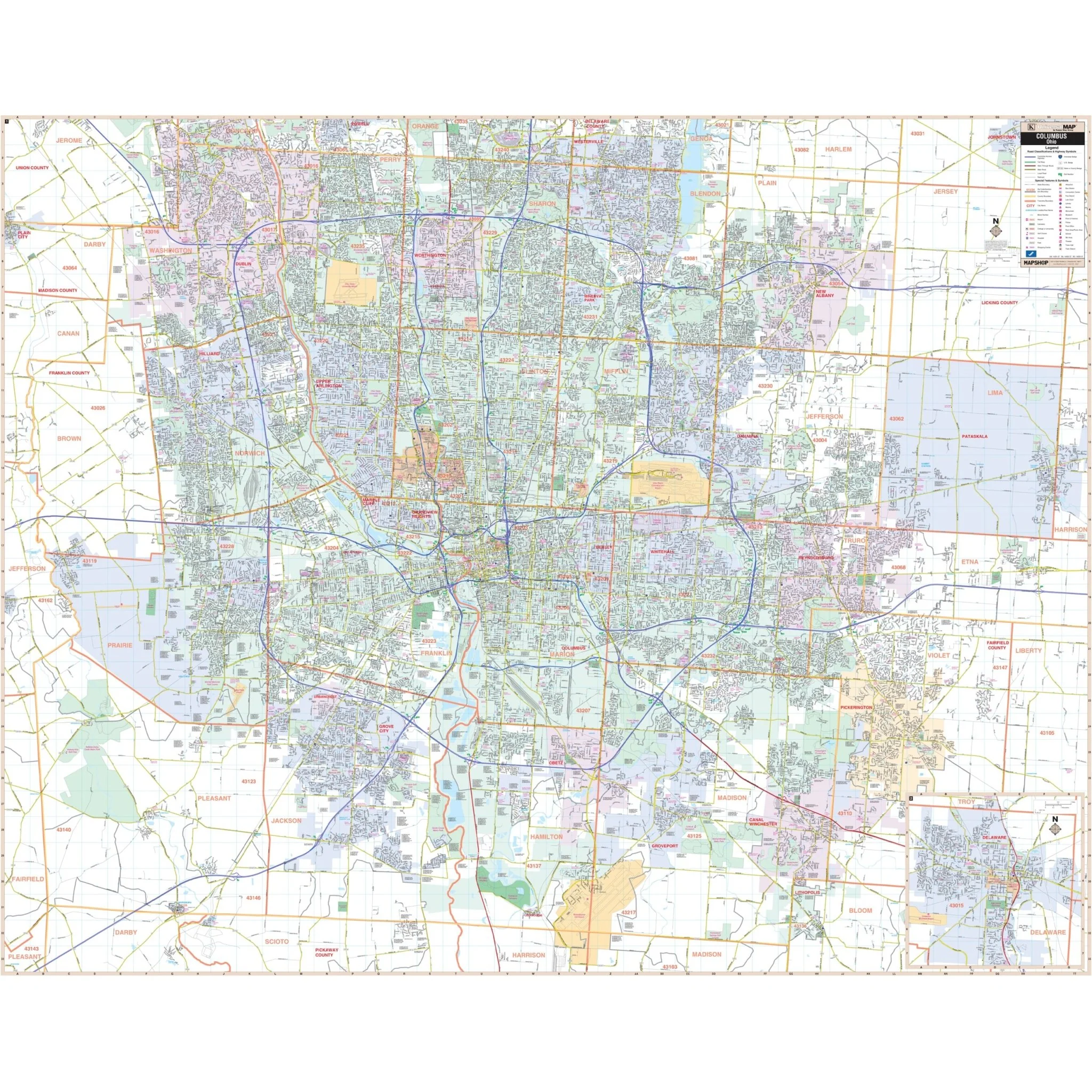
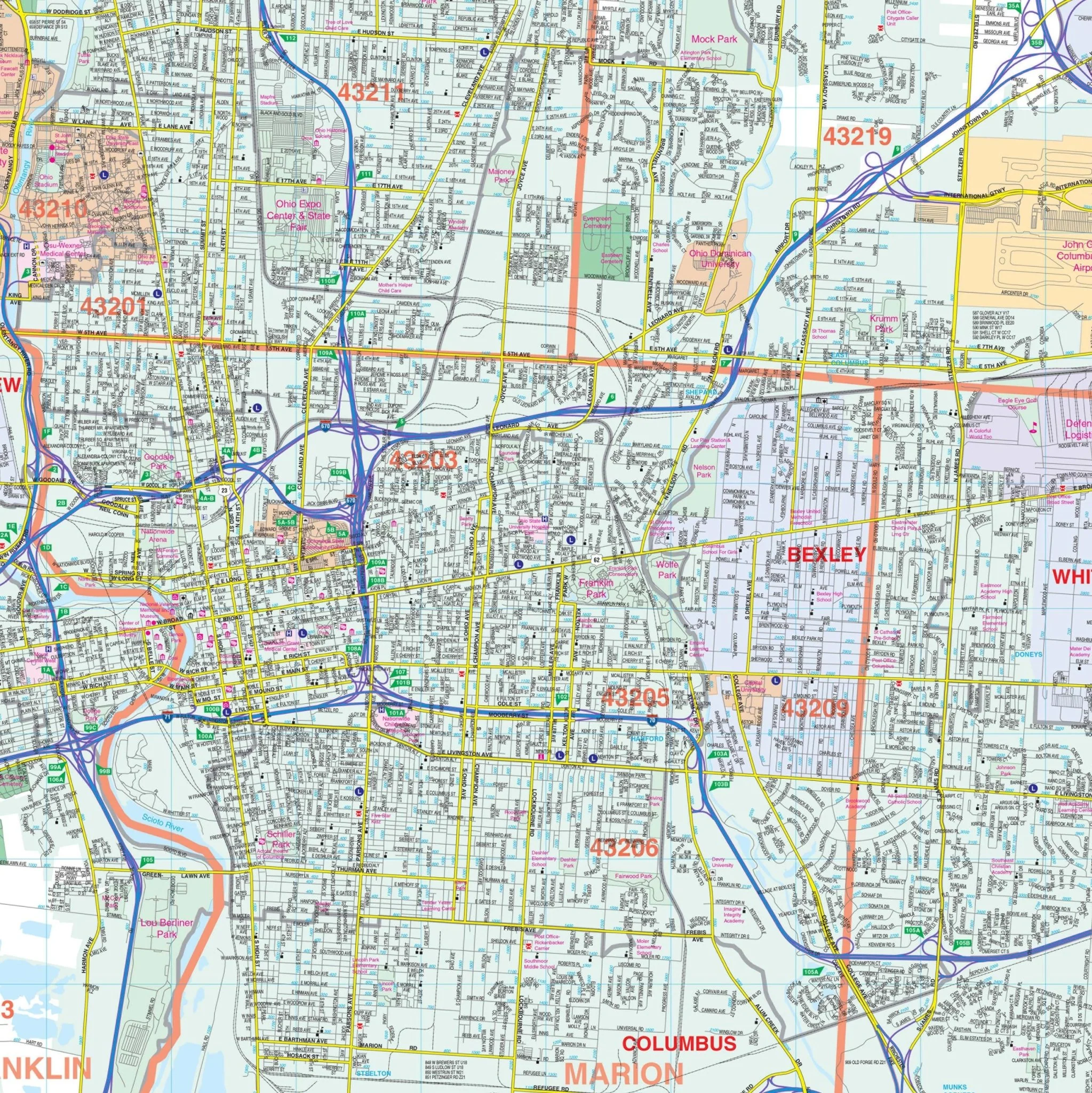
This map includes detailed information about streets and highways, government buildings, airports, golf courses and country clubs, railroads, longitude and latitude lines, ZIP codes and boundaries, shopping centers, recreational parks, mileage circles, block numbers, cemeteries, educational facilities, hospitals, post offices, city limits and annexations, fire and police stations, and more.
Size: 54" x 66"
Published: 2007
Original: $139.99
-70%$139.99
$42.00Product Information
Product Information
Shipping & Returns
Shipping & Returns
Description
The Warren County, Ohio Wall Map by Kappa Map Group provides complete street detail. It covers all of Warren County with boundaries as follows:
- North: Montgomery-Green County line, including Carlisle, Franklin, and Springboro
- South: Clermont County line, including Landen, Maineville, and Loveland
- East: Clinton County line, including Harveysburg
- West: Butler County line
This map includes detailed information about streets and highways, government buildings, airports, golf courses and country clubs, railroads, longitude and latitude lines, ZIP codes and boundaries, shopping centers, recreational parks, mileage circles, block numbers, cemeteries, educational facilities, hospitals, post offices, city limits and annexations, fire and police stations, and more.
Size: 54" x 66"
Published: 2007