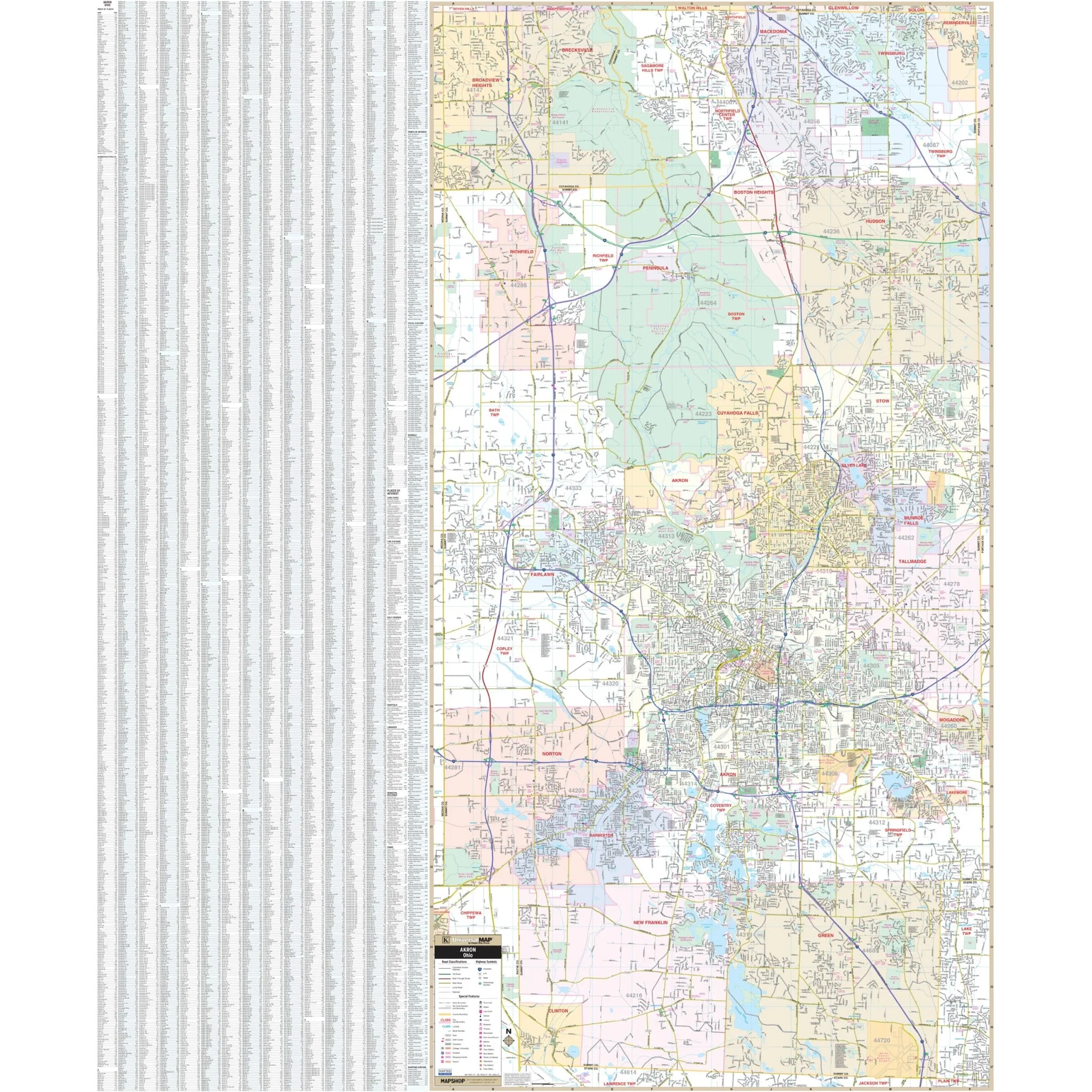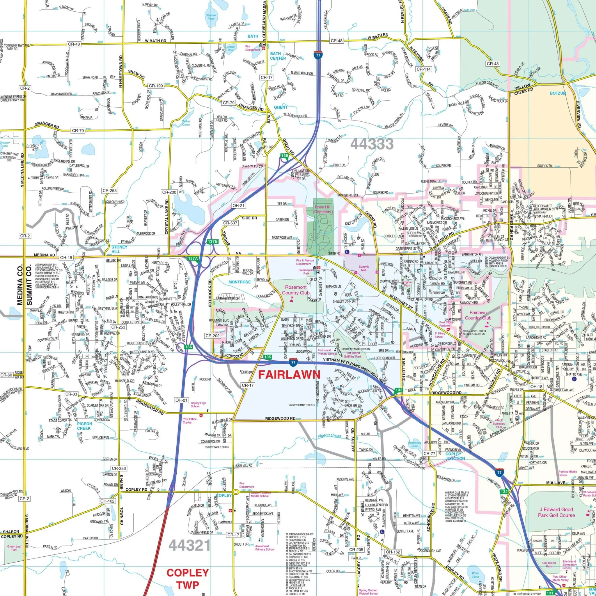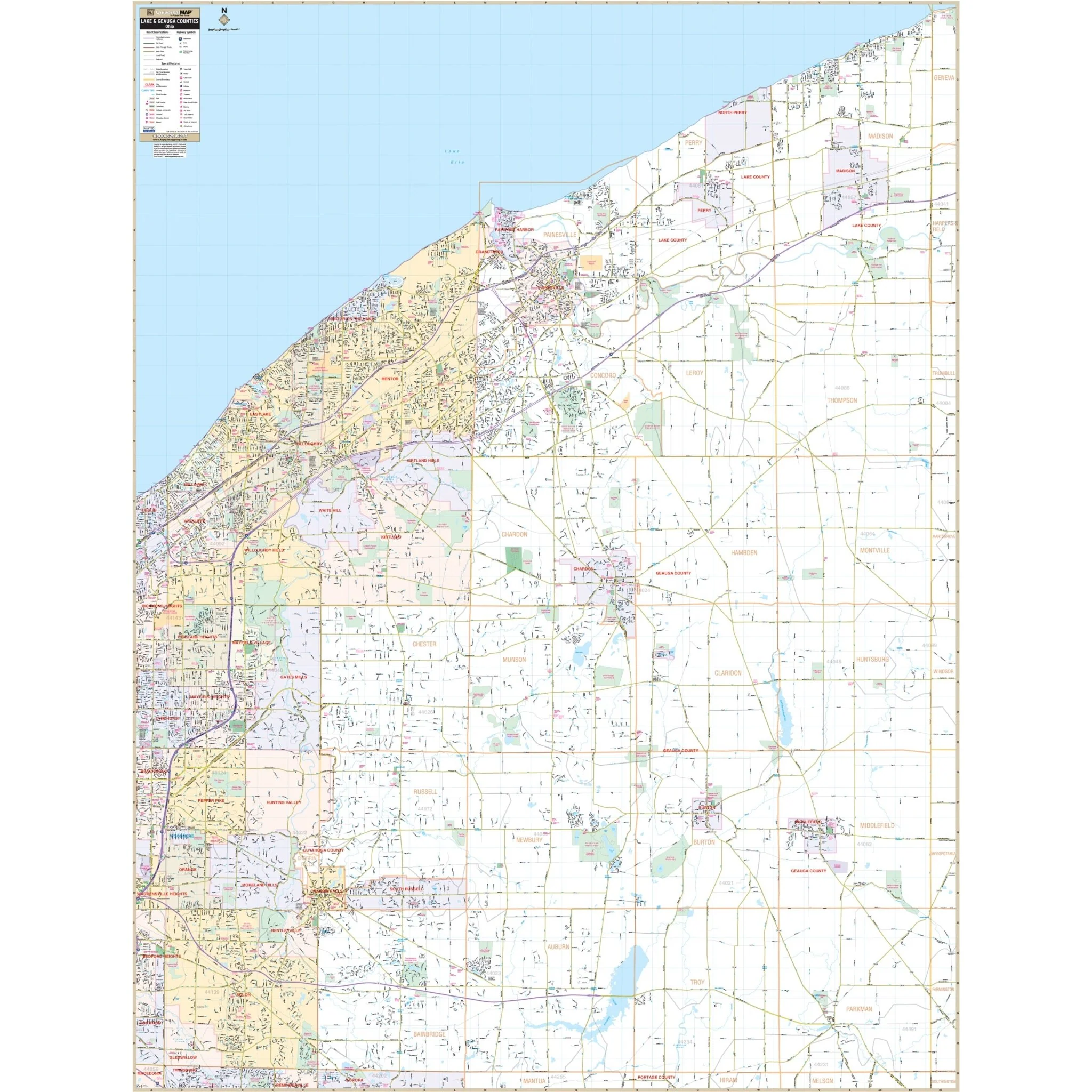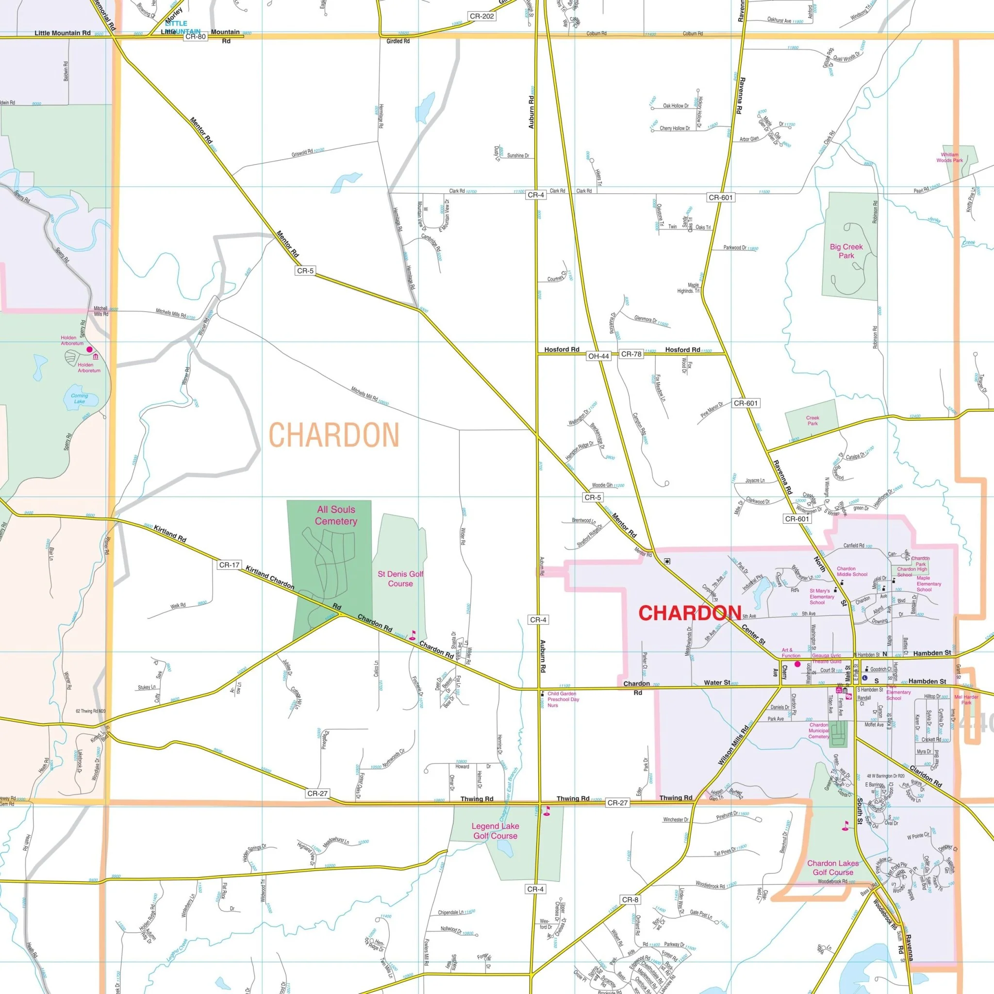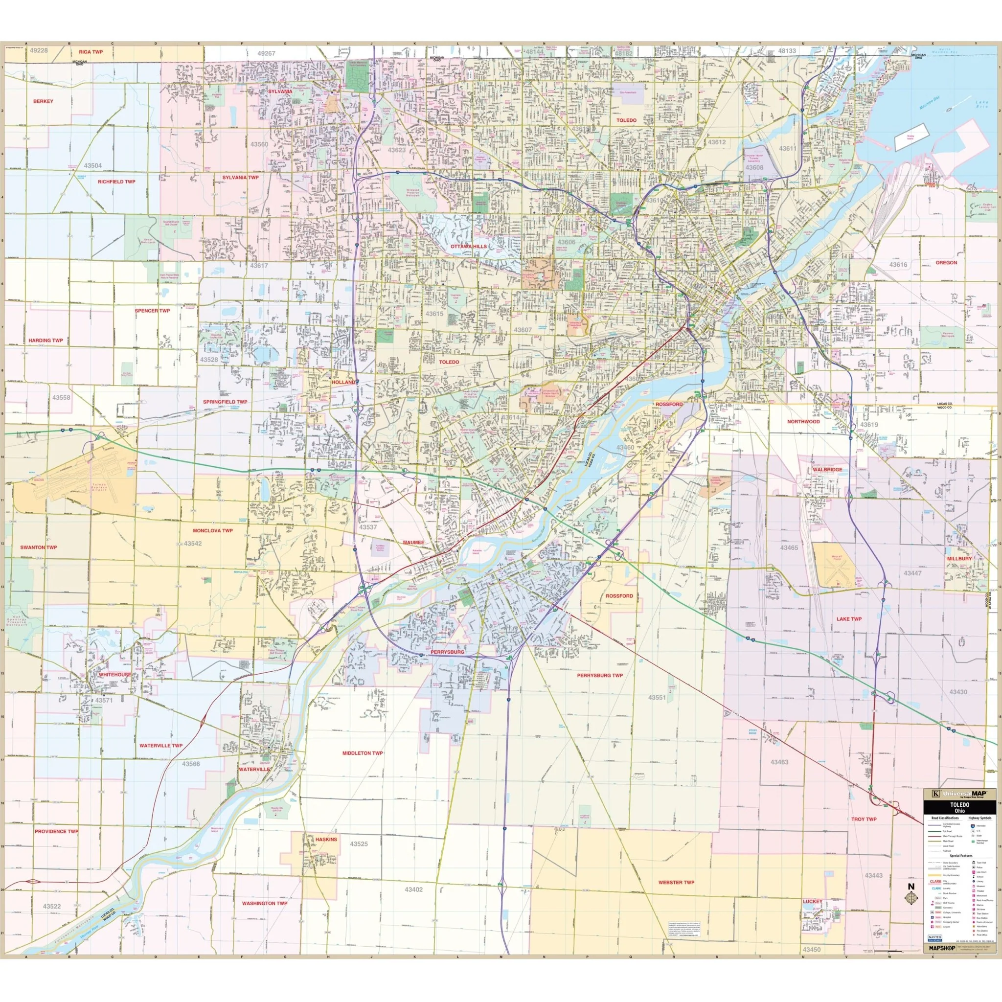


Toledo, OH Wall Map
The Toledo, Ohio Wall Map by Kappa Map Group provides comprehensive coverage with boundaries as follows:
- North: Michigan state line
- South: Haskins and Luckey in Wood County
- East: Wood / Ottawa County line, including Millbury
- West: Toledo Express Airport
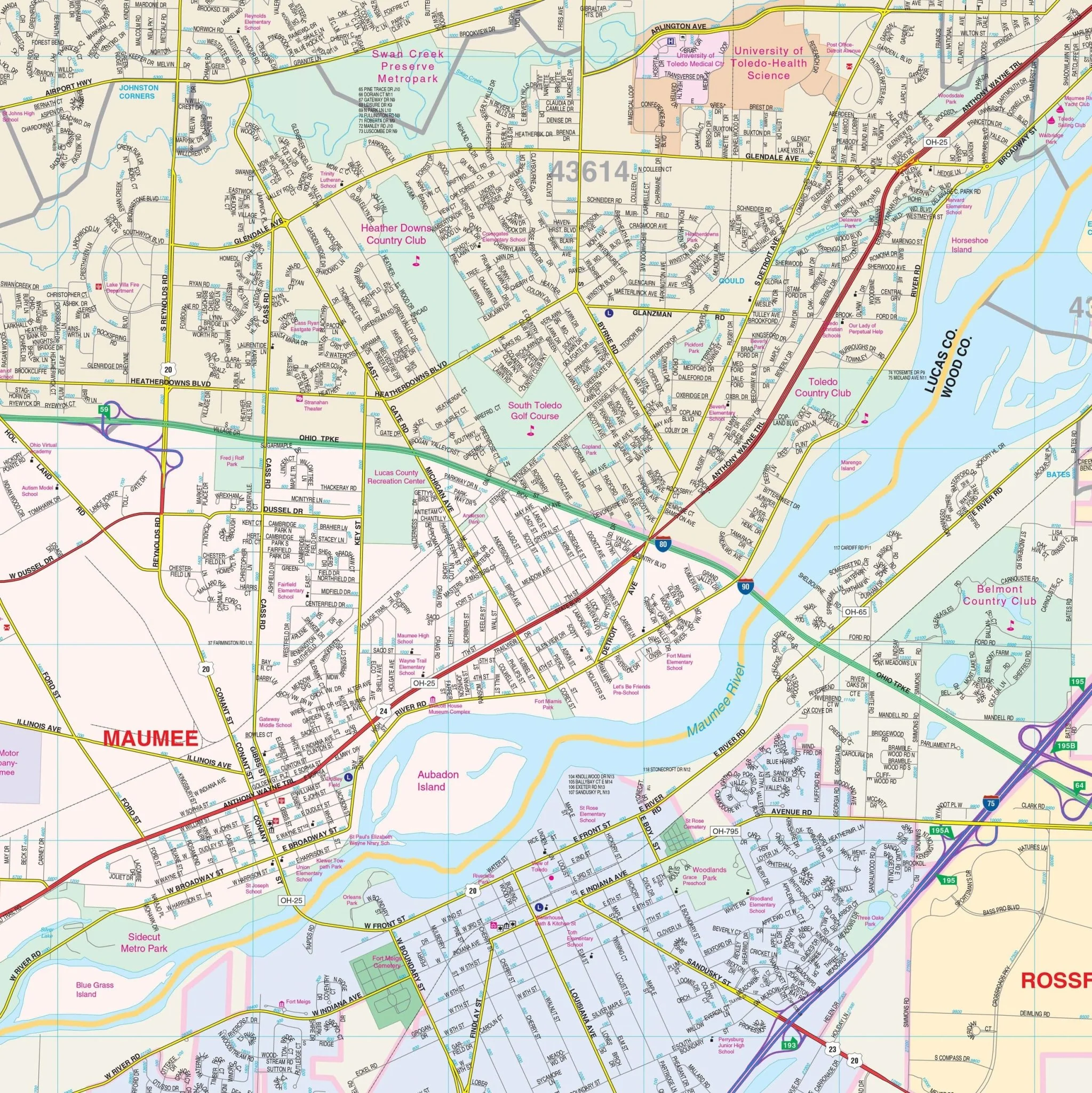
This full-color map offers complete street detail, including all streets and highways, government buildings, airports, golf courses and country clubs, railroads, longitude and latitude lines, ZIP codes and boundaries, shopping centers, recreational parks, cemeteries, educational institutions, hospitals, post offices, city limits (color coded), fire and police stations, and more.
Size: 59" x 54"
Published: 2013
Original: $139.99
-70%$139.99
$42.00Product Information
Product Information
Shipping & Returns
Shipping & Returns
Description
The Toledo, Ohio Wall Map by Kappa Map Group provides comprehensive coverage with boundaries as follows:
- North: Michigan state line
- South: Haskins and Luckey in Wood County
- East: Wood / Ottawa County line, including Millbury
- West: Toledo Express Airport
This full-color map offers complete street detail, including all streets and highways, government buildings, airports, golf courses and country clubs, railroads, longitude and latitude lines, ZIP codes and boundaries, shopping centers, recreational parks, cemeteries, educational institutions, hospitals, post offices, city limits (color coded), fire and police stations, and more.
Size: 59" x 54"
Published: 2013