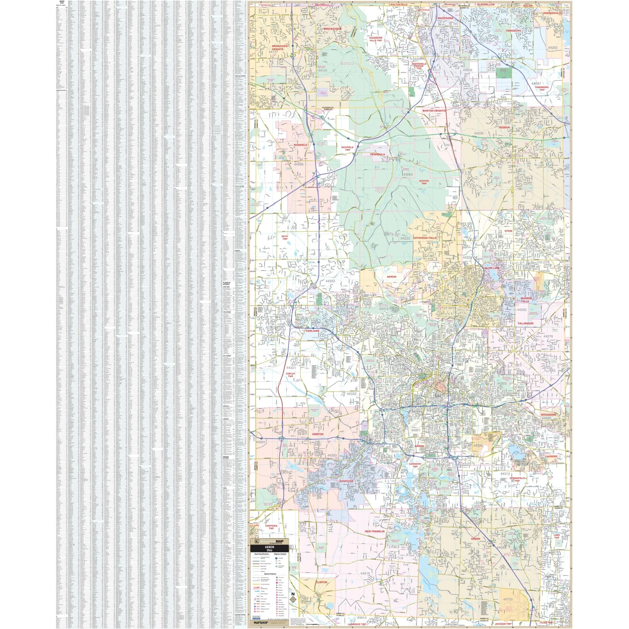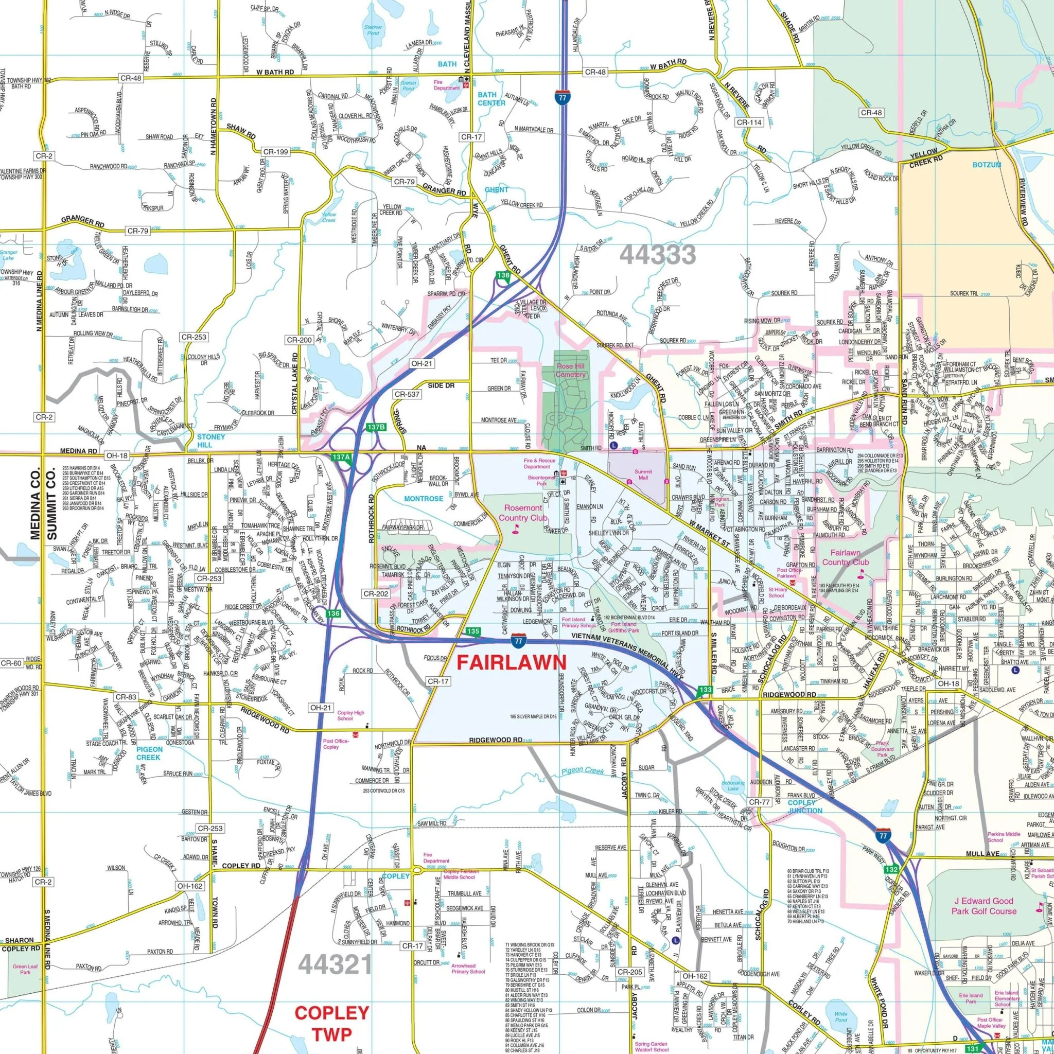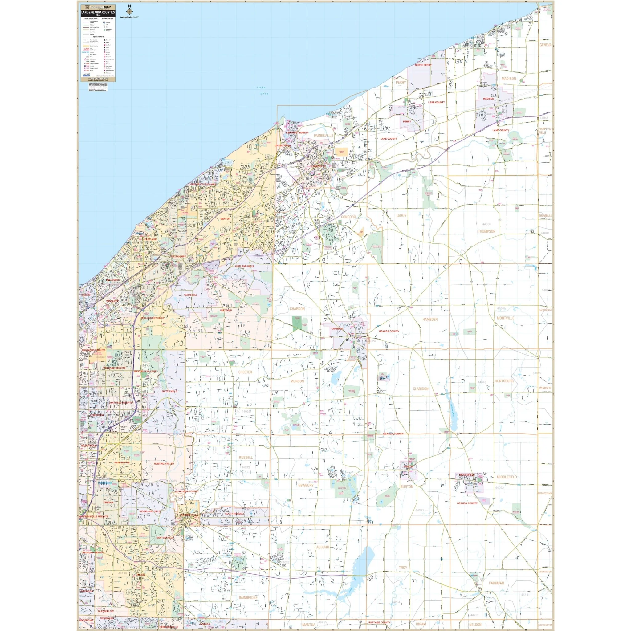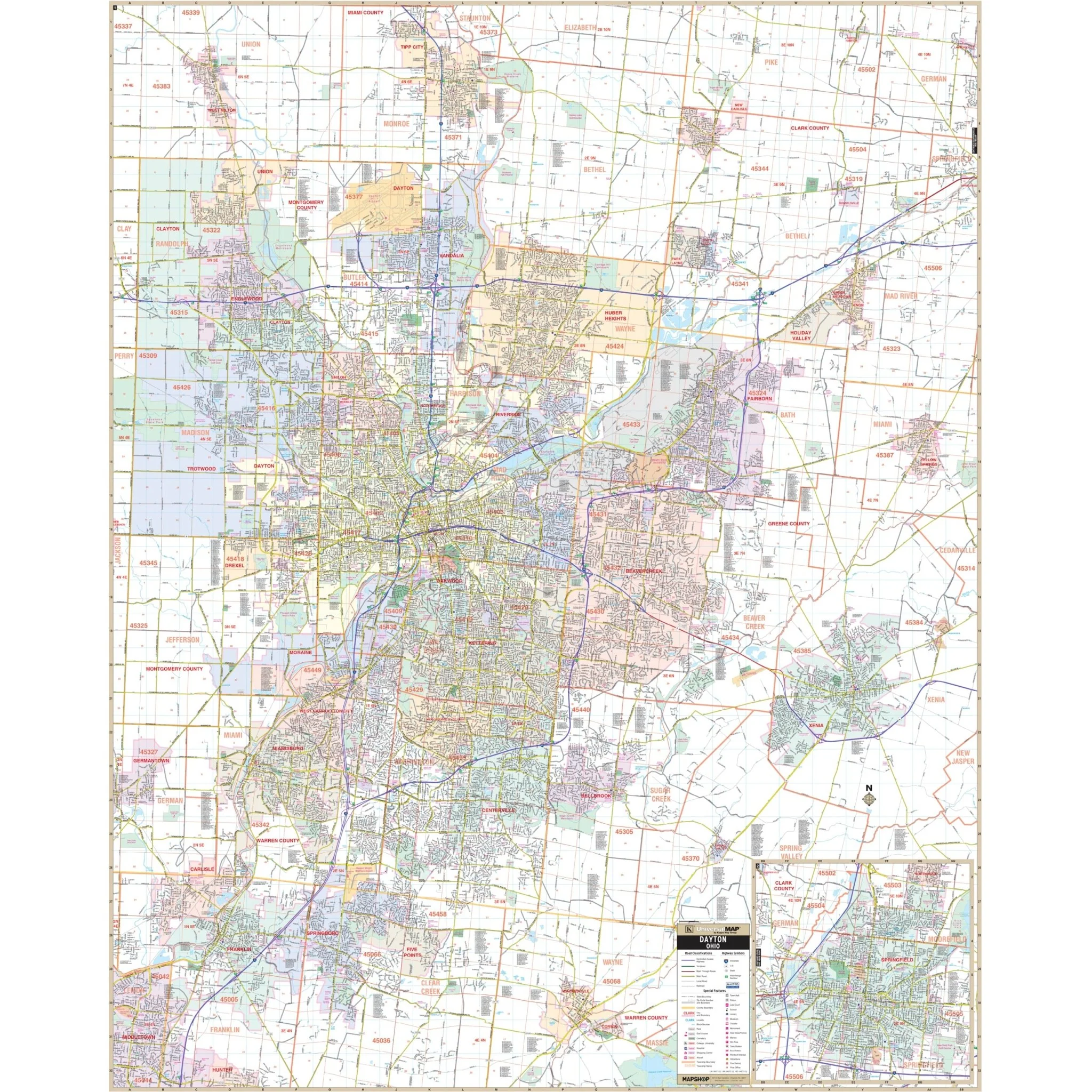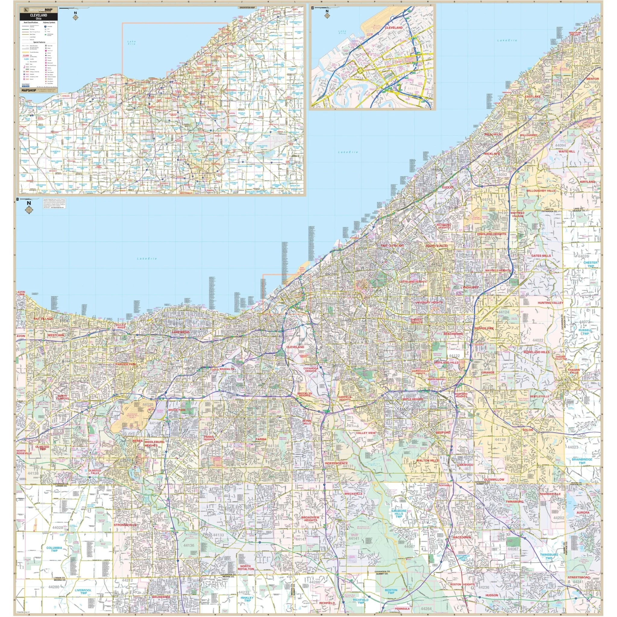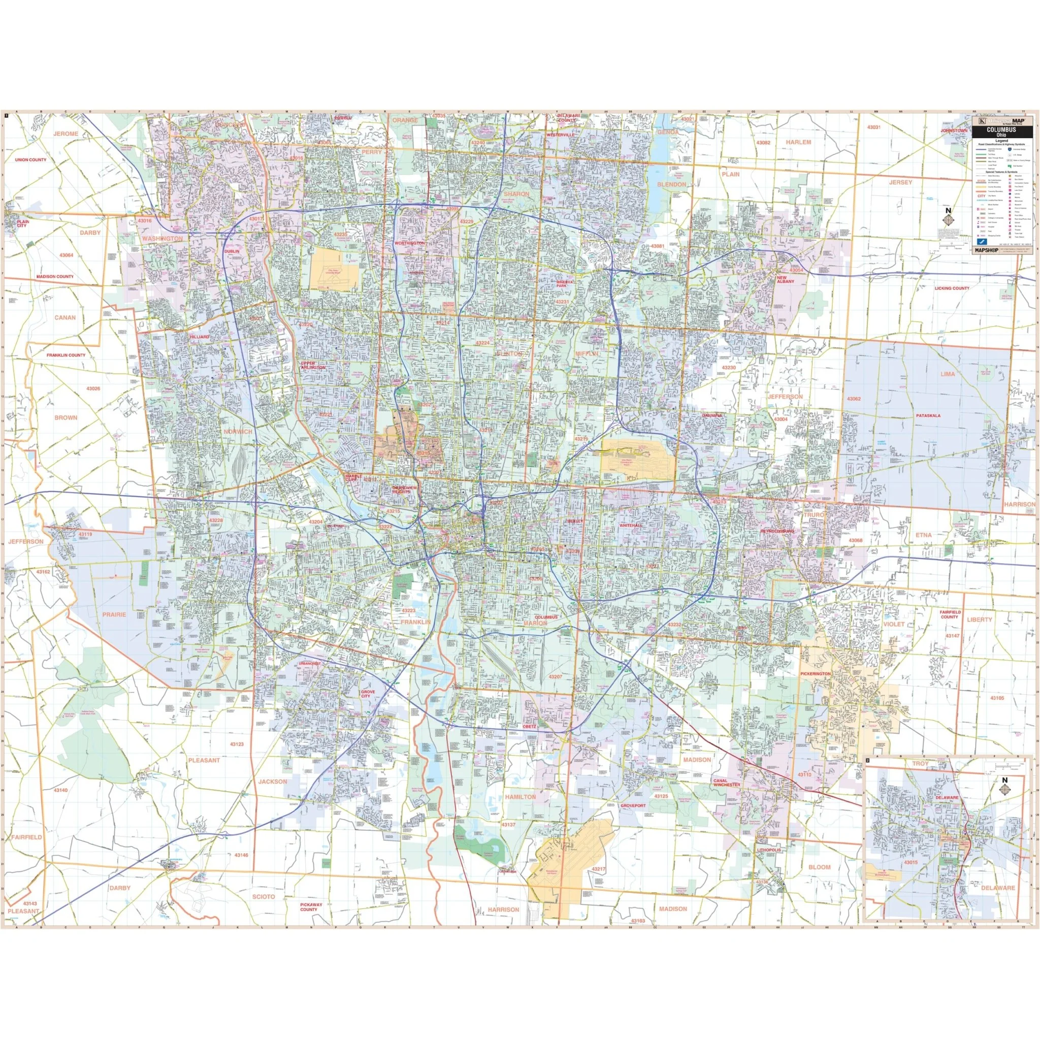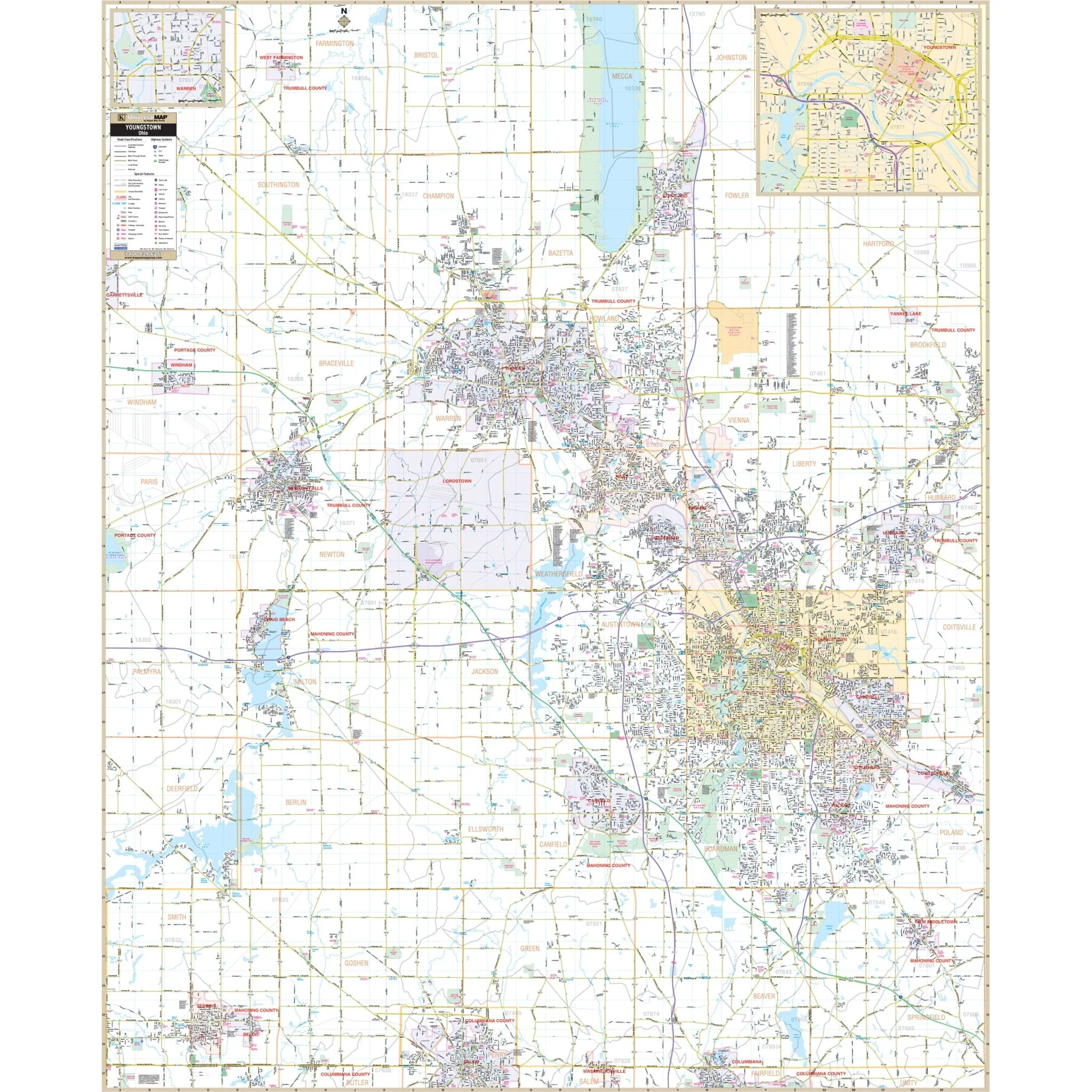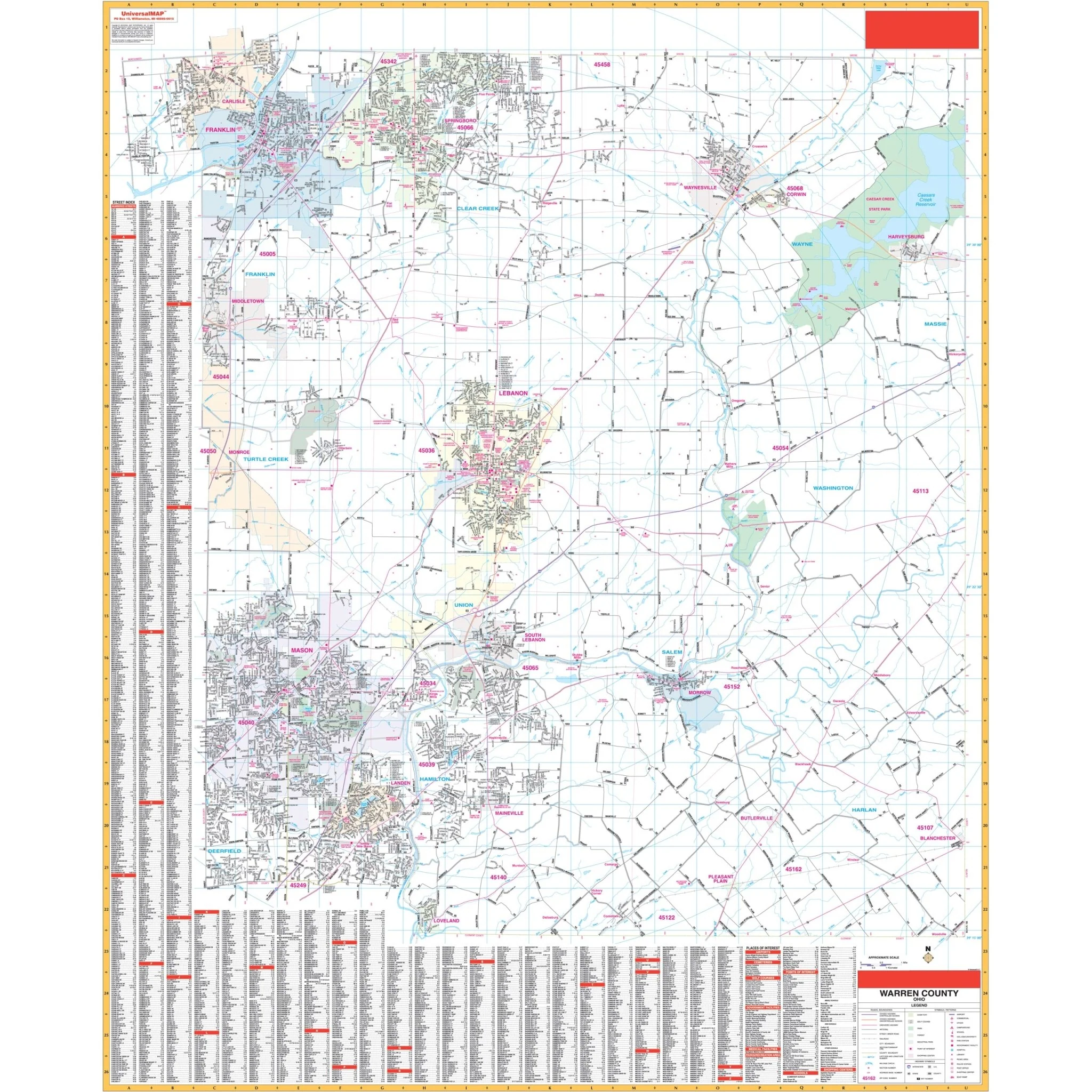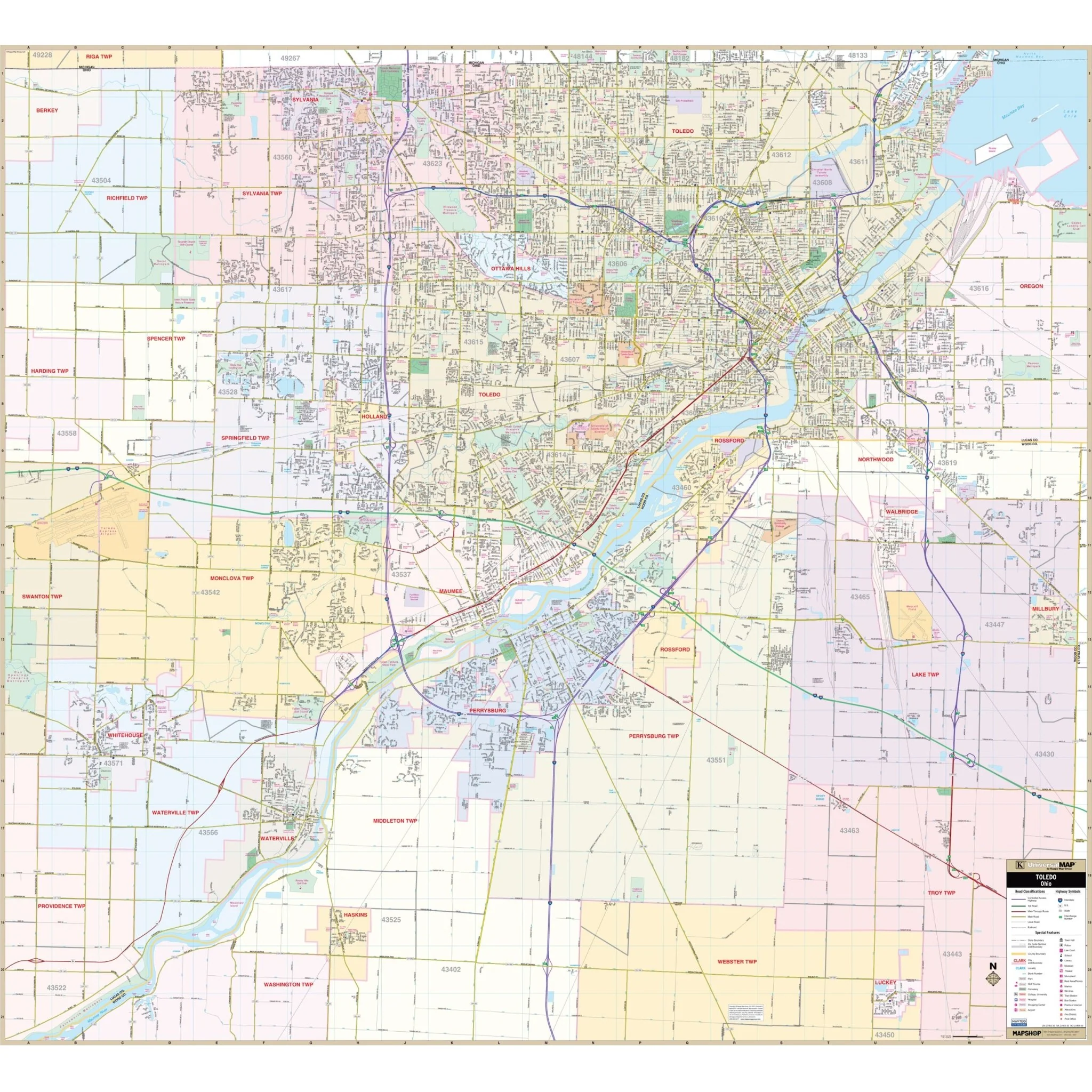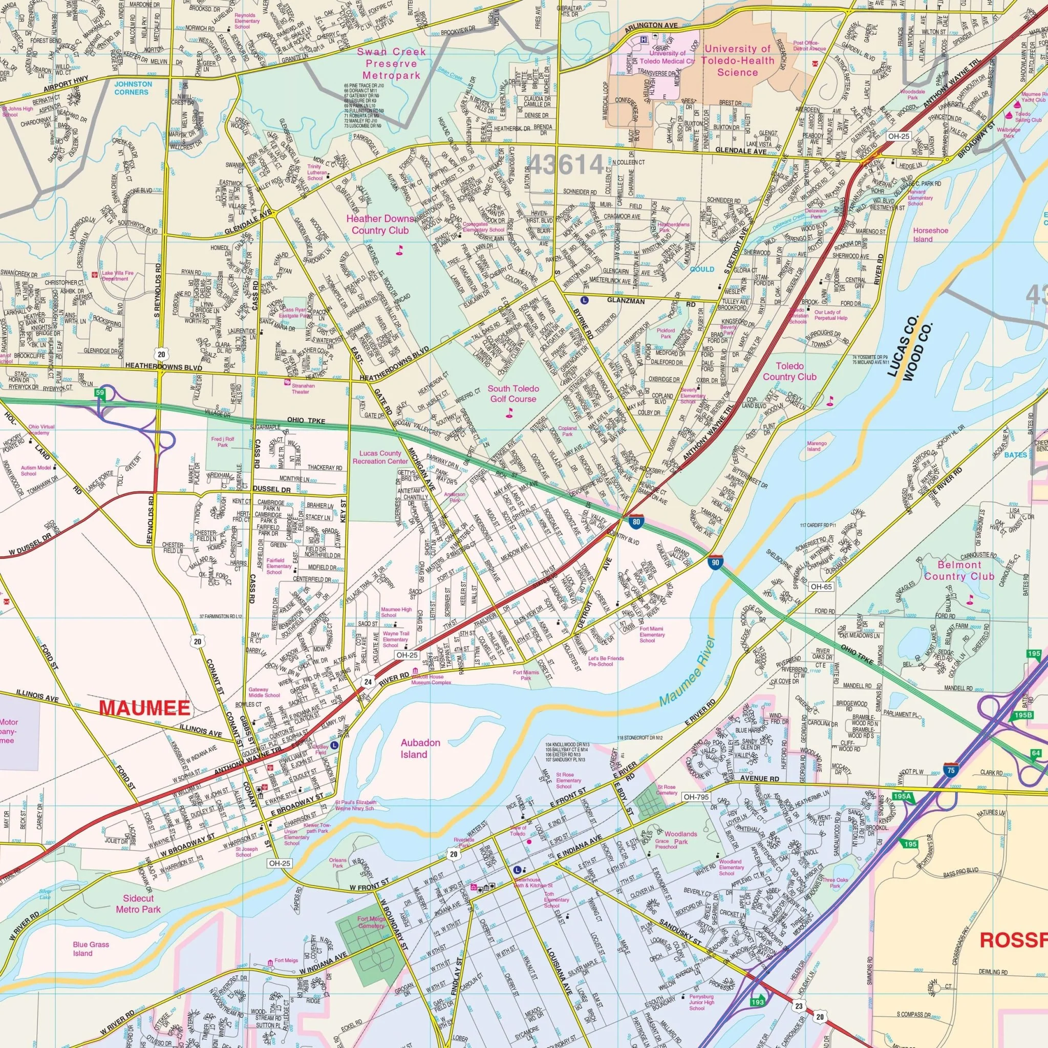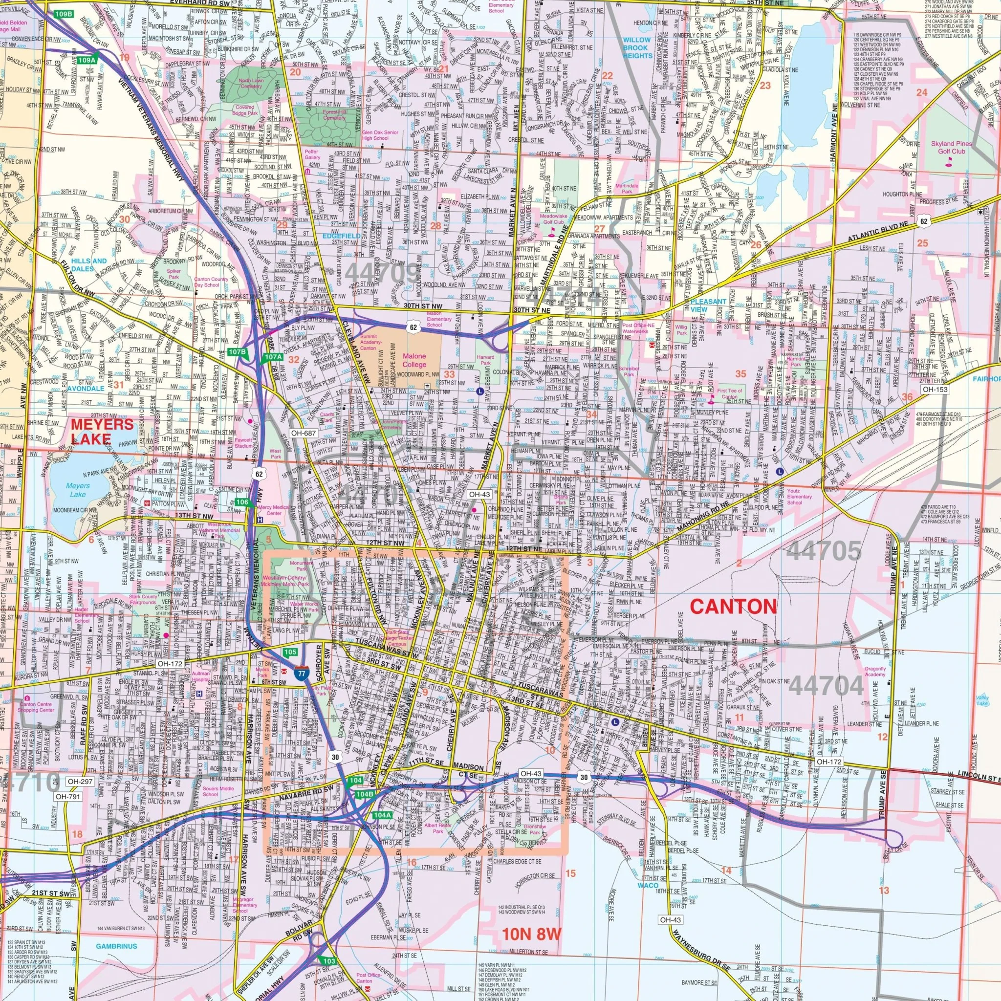


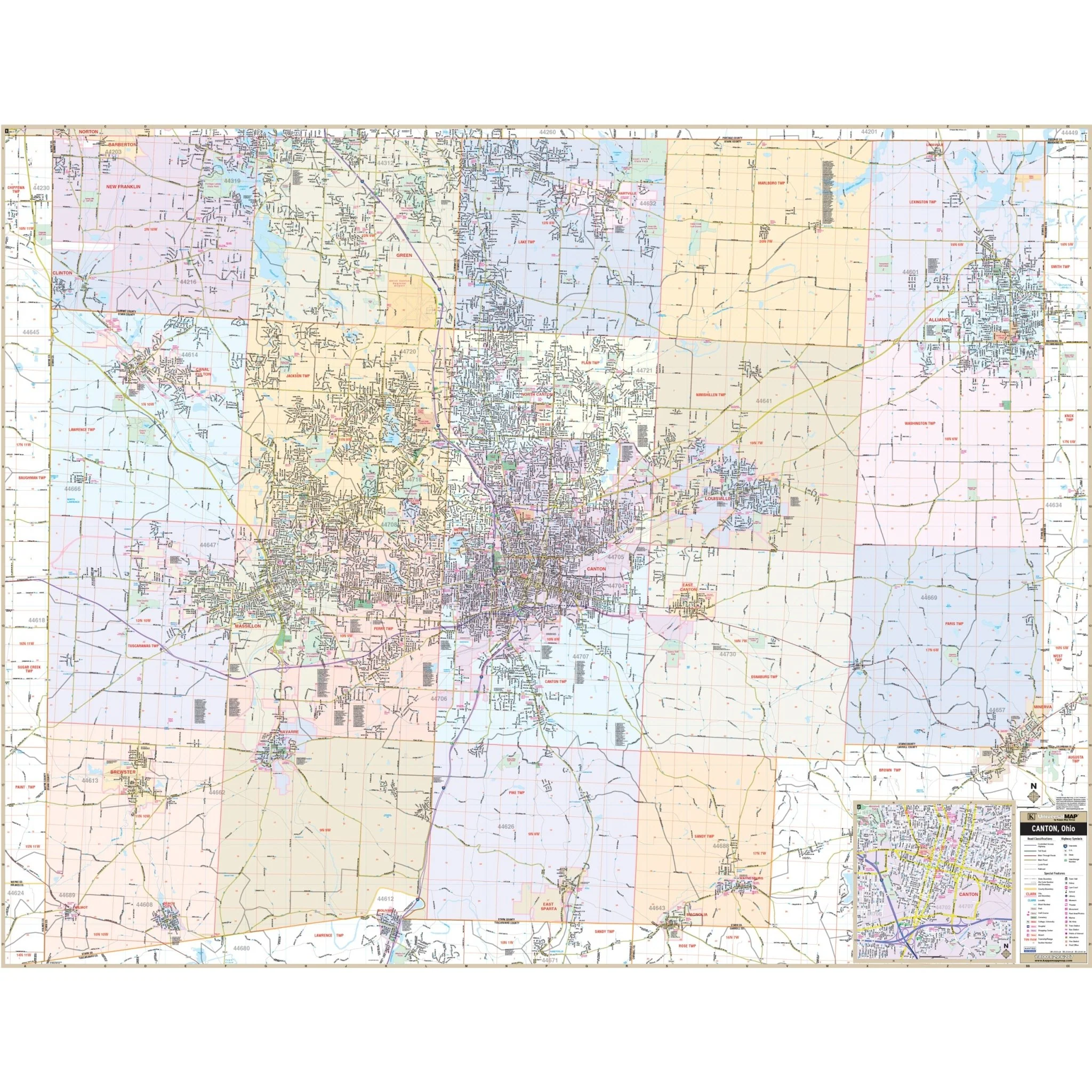


Canton & Stark County, Ohio Wall Map
The Canton / Stark Co., Ohio Wall Map by Kappa Map Group provides extensive coverage, including the following areas:
- North: Portage/Stark County line; including all of Green and New Franklin in Summit County
- South: to the Stark / Tuscarawas County Line
- East: Columbiana/Stark County line; all of the City of Alliance
- West: Wayne/Stark County line
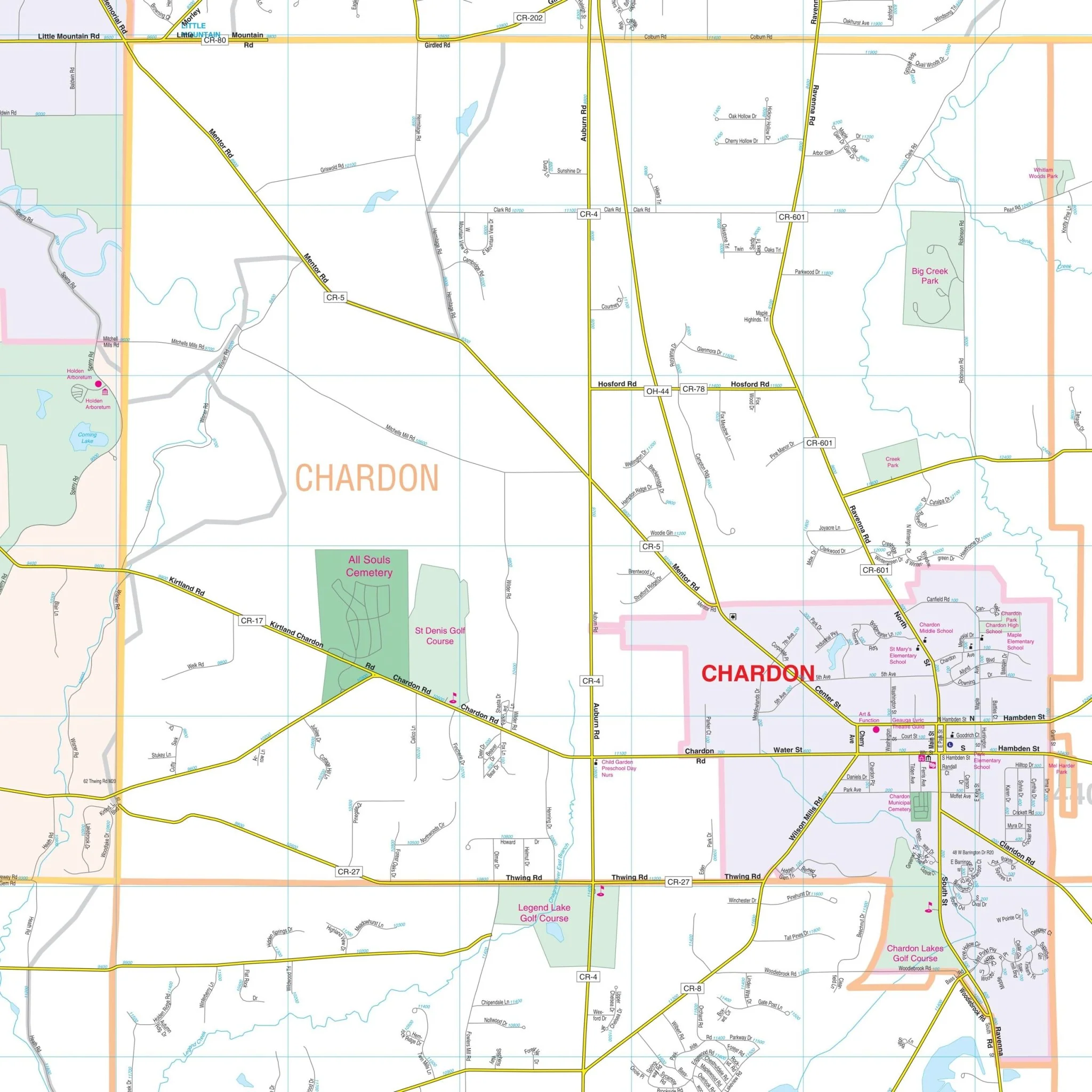
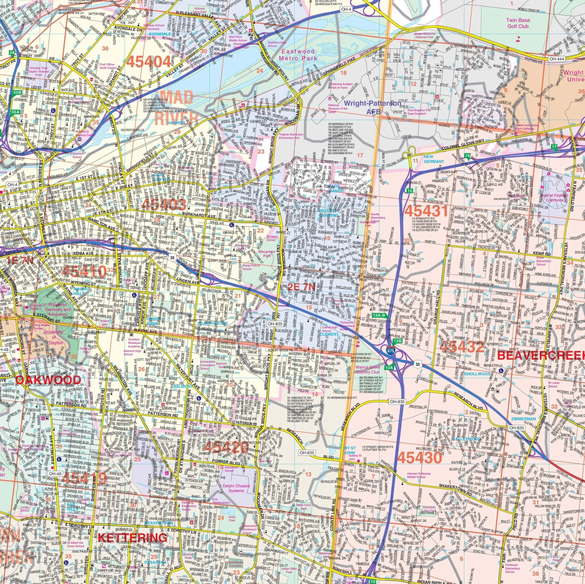
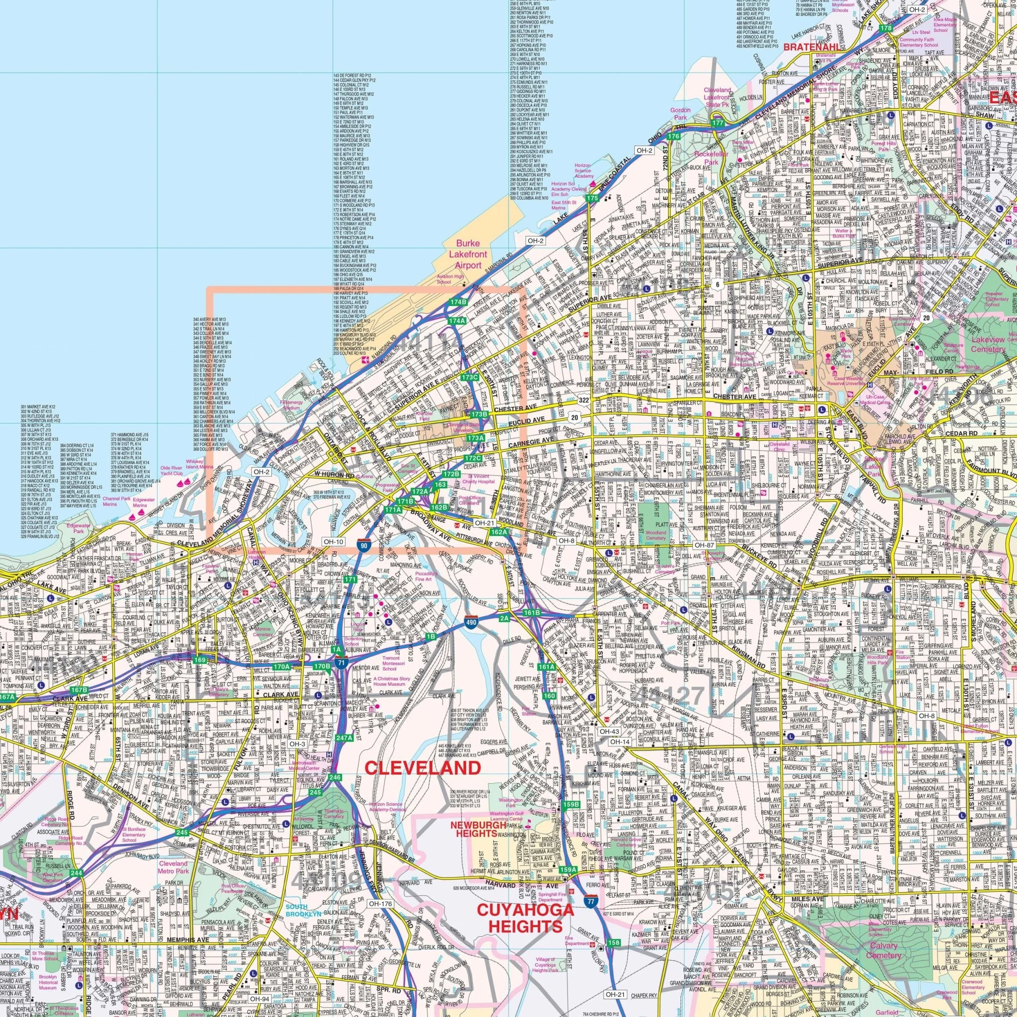
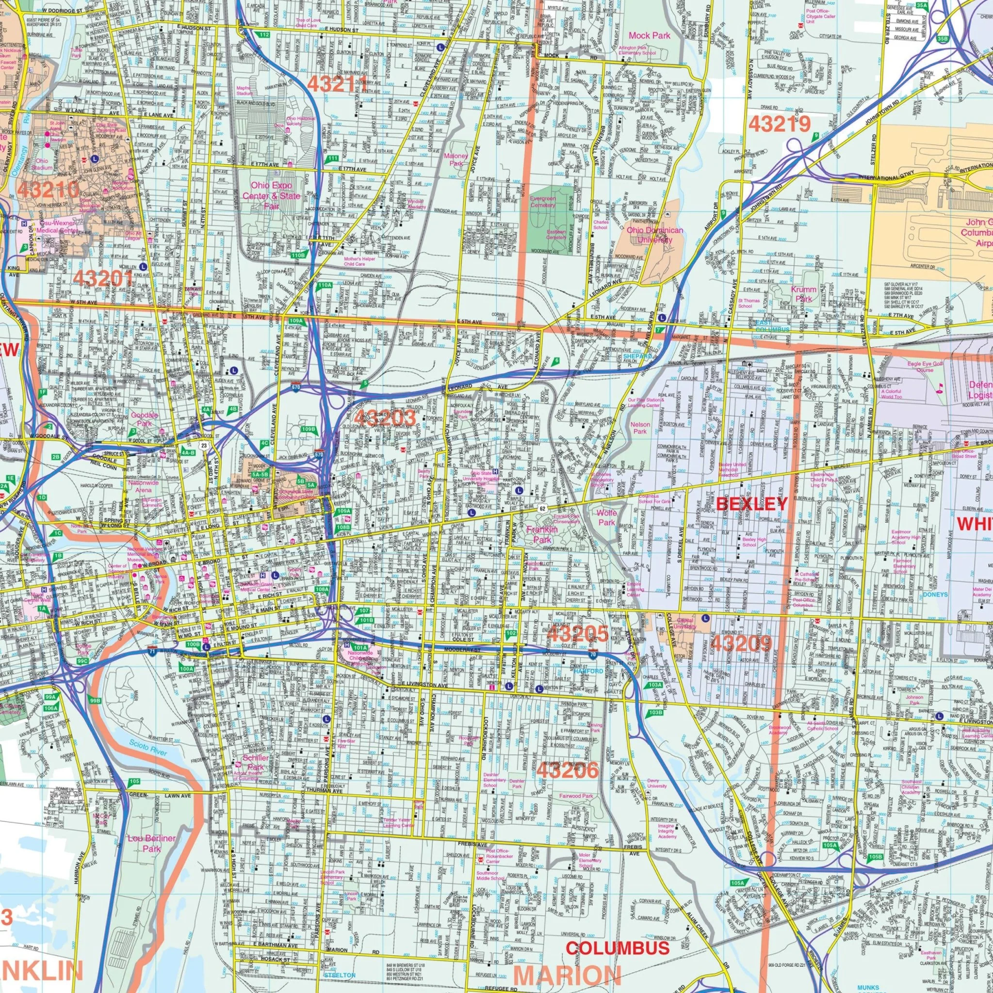
This map also includes an enlarged detailed inset of Downtown Canton. Details featured on the map encompass streets, airports, government buildings, post offices, cemeteries, fire and police stations, hospitals, shopping centers, educational institutions, railroads, water features, golf and country clubs, mileage circles, recreational parks, ZIP codes and boundaries, as well as block numbers.
Size: 69.5" x 54"
Published: 2013
Original: $149.99
-70%$149.99
$45.00Product Information
Product Information
Shipping & Returns
Shipping & Returns
Description
The Canton / Stark Co., Ohio Wall Map by Kappa Map Group provides extensive coverage, including the following areas:
- North: Portage/Stark County line; including all of Green and New Franklin in Summit County
- South: to the Stark / Tuscarawas County Line
- East: Columbiana/Stark County line; all of the City of Alliance
- West: Wayne/Stark County line
This map also includes an enlarged detailed inset of Downtown Canton. Details featured on the map encompass streets, airports, government buildings, post offices, cemeteries, fire and police stations, hospitals, shopping centers, educational institutions, railroads, water features, golf and country clubs, mileage circles, recreational parks, ZIP codes and boundaries, as well as block numbers.
Size: 69.5" x 54"
Published: 2013