


Cincinnati, OH Wall Map
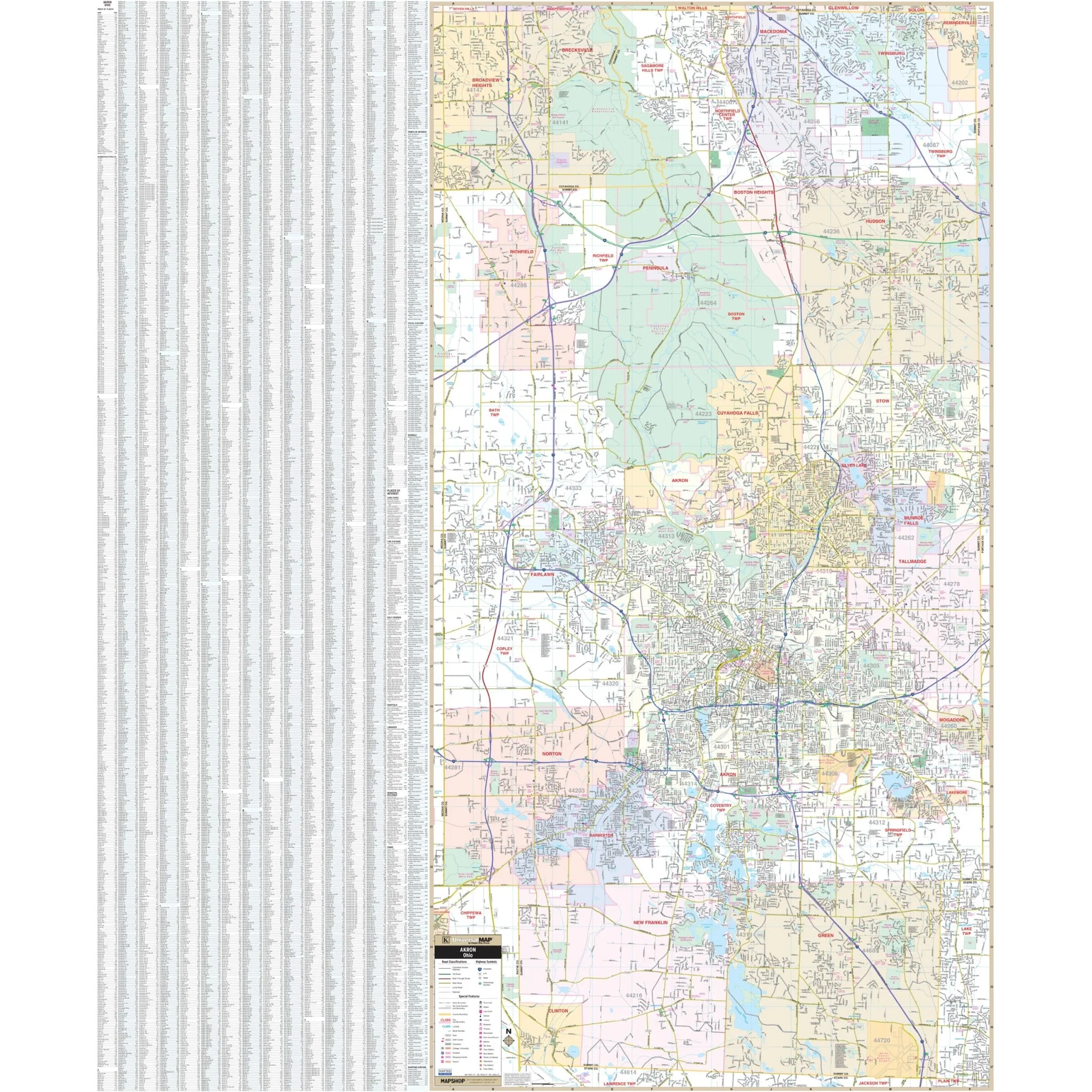
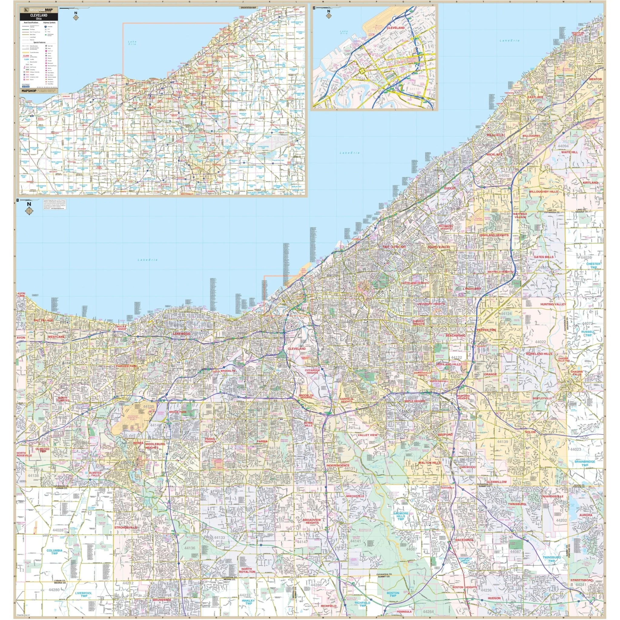
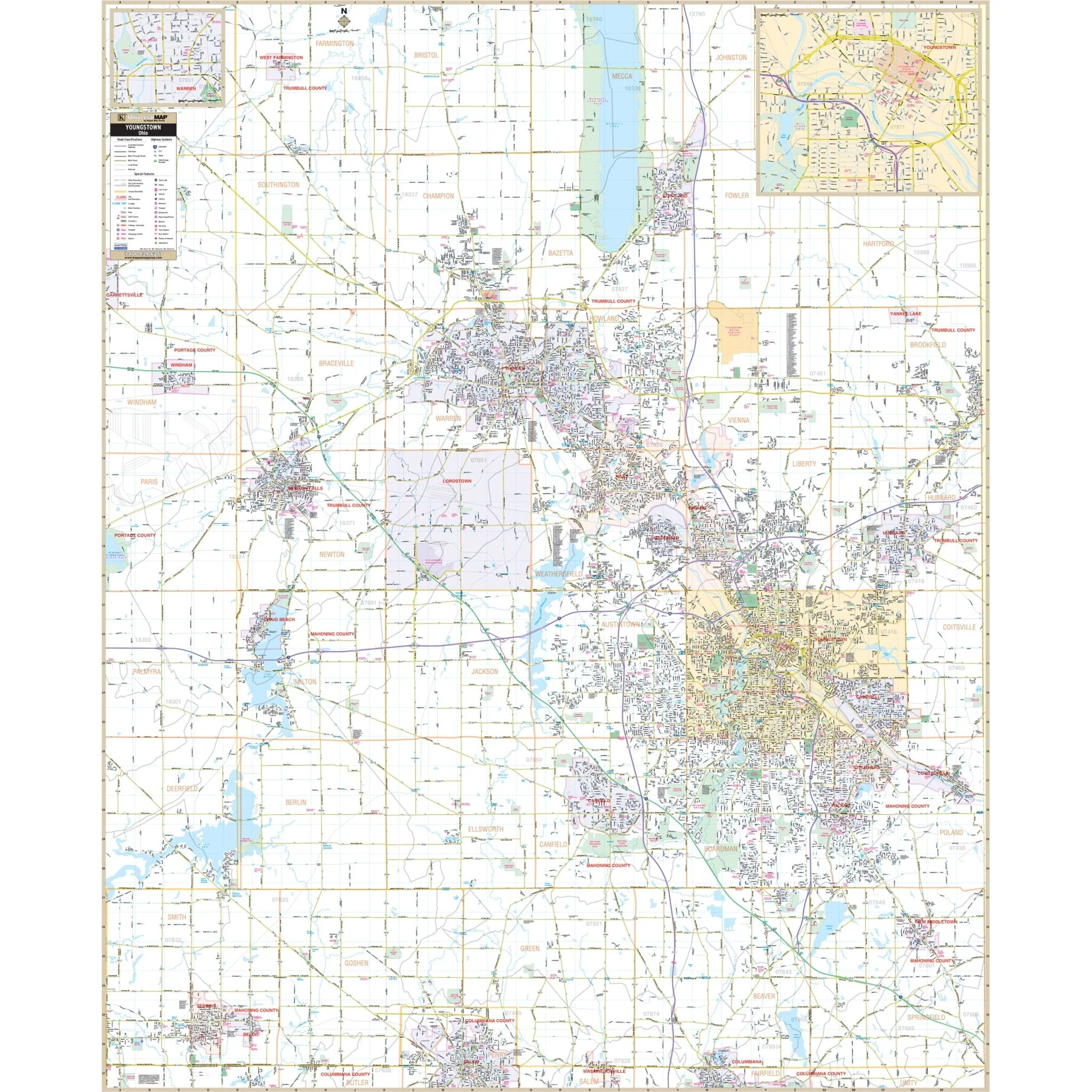
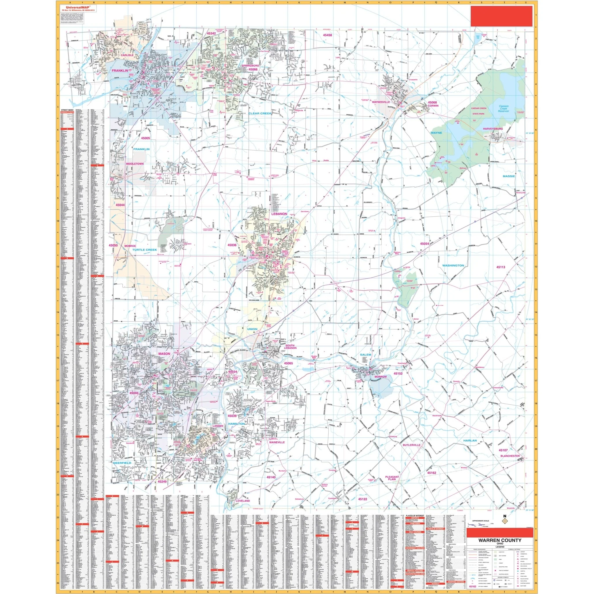
The Cincinnati, OH Wall Map, with adjacent areas, offers comprehensive coverage, including all of Hamilton County, with the following boundaries:
- North: to the Hamilton-Butler County line
- South: to the I-275 Loop and Cincinnati/Northern Kentucky International Airport
- East: to Milford and Loveland
- West: to the Ohio-Indiana State line
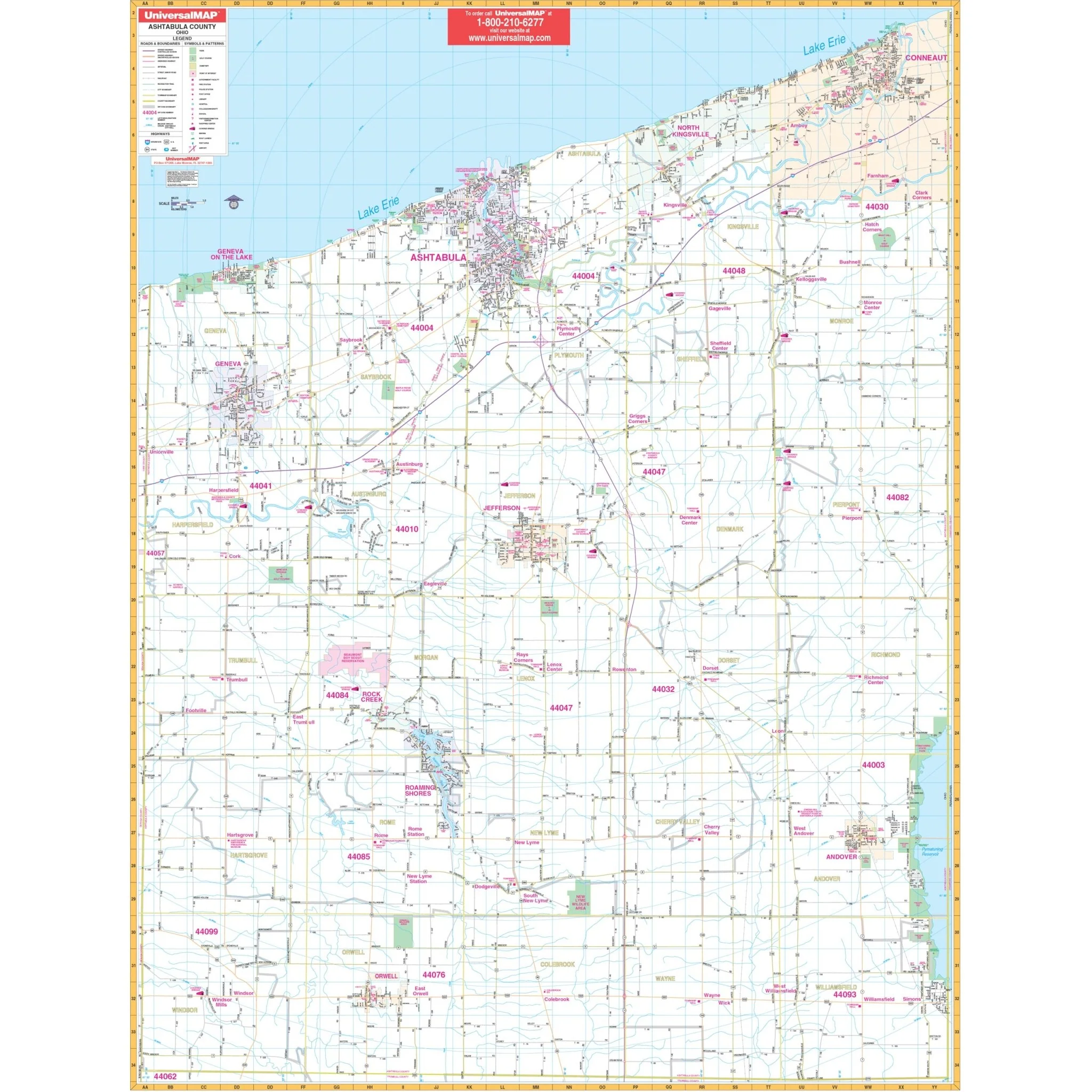
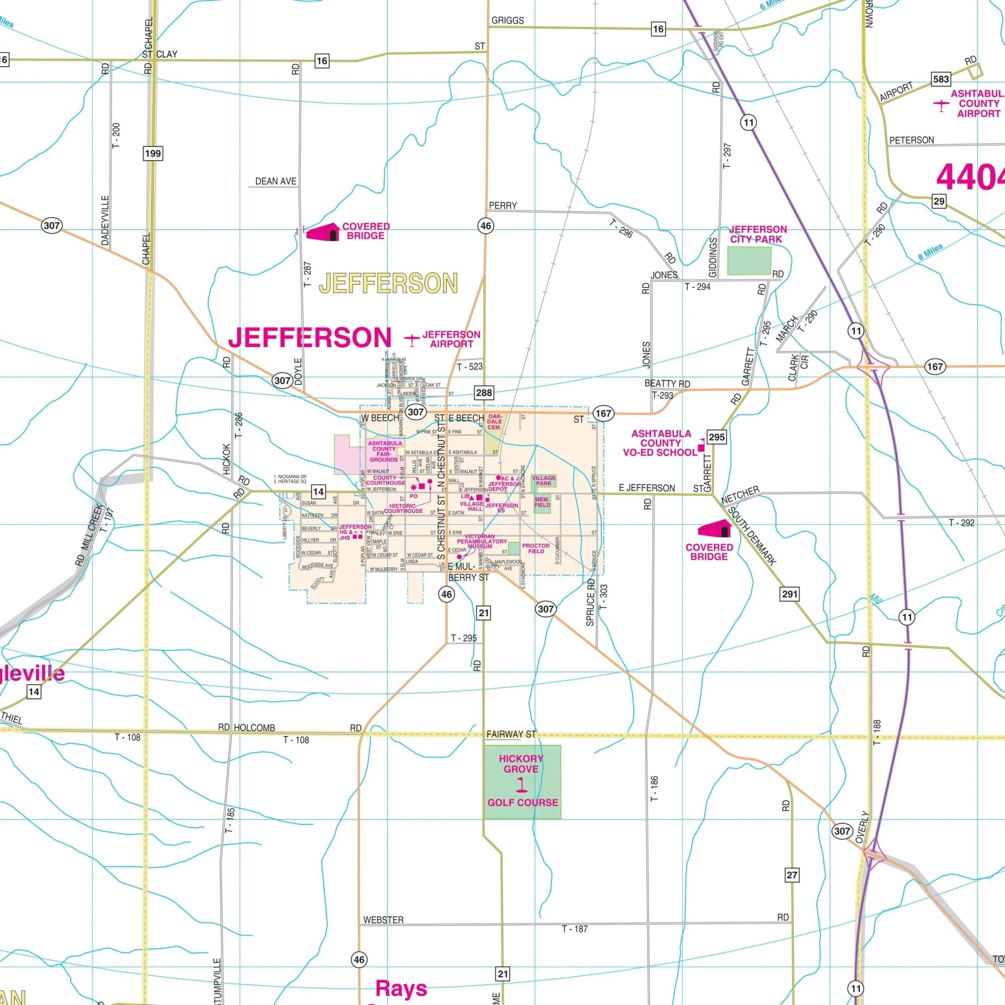
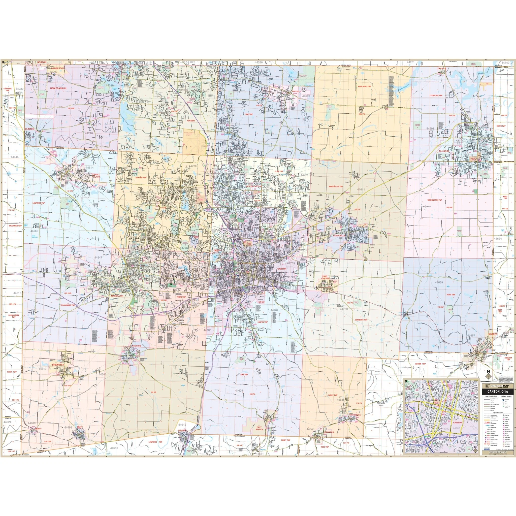
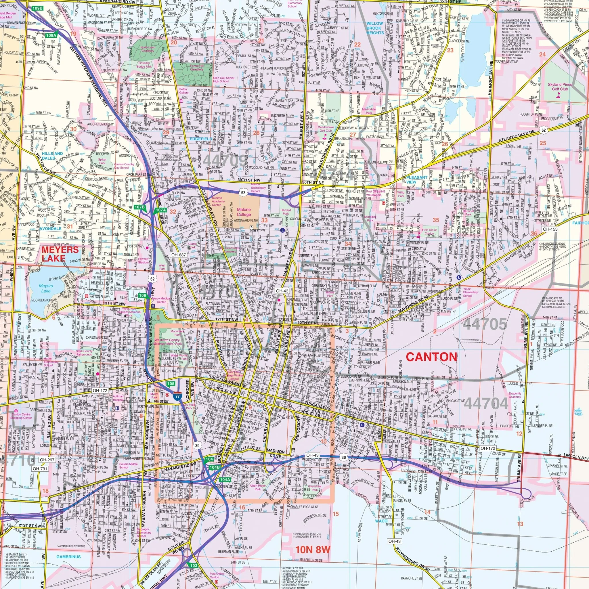
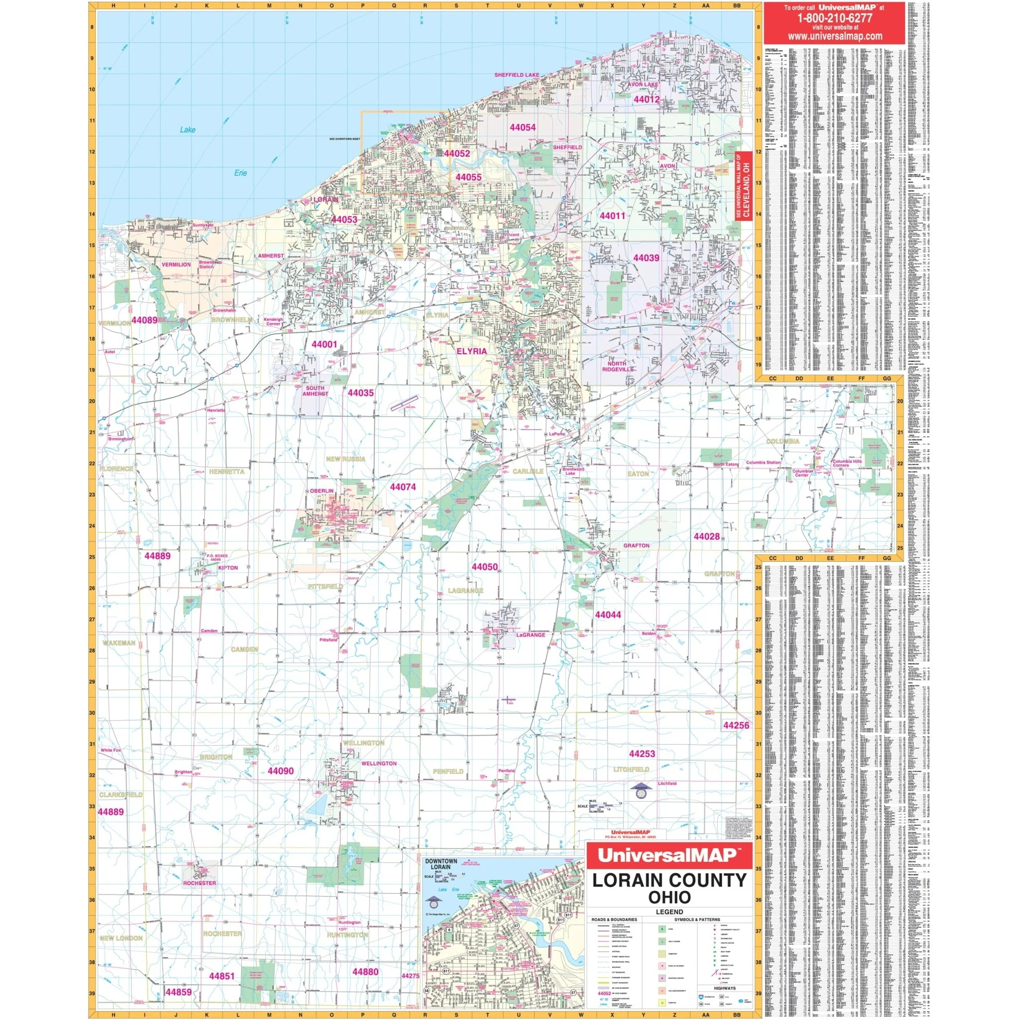
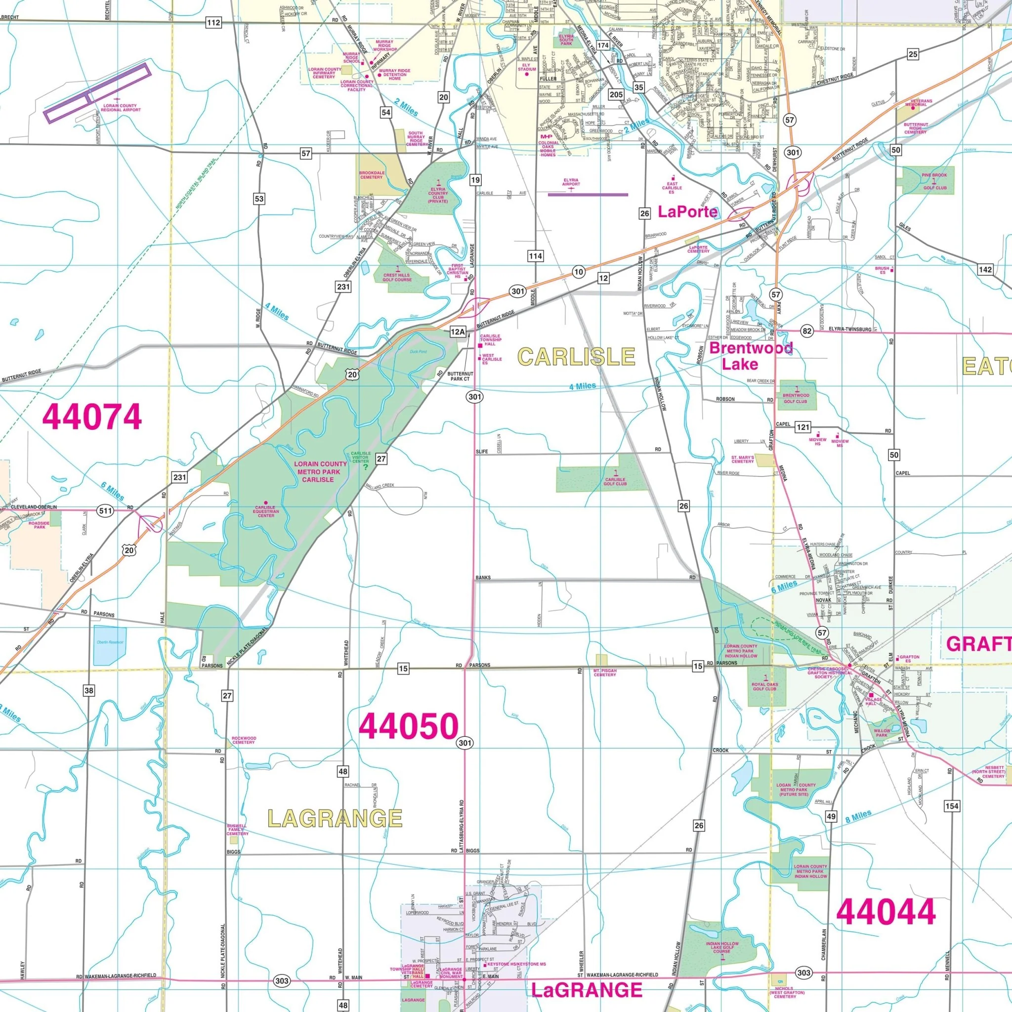
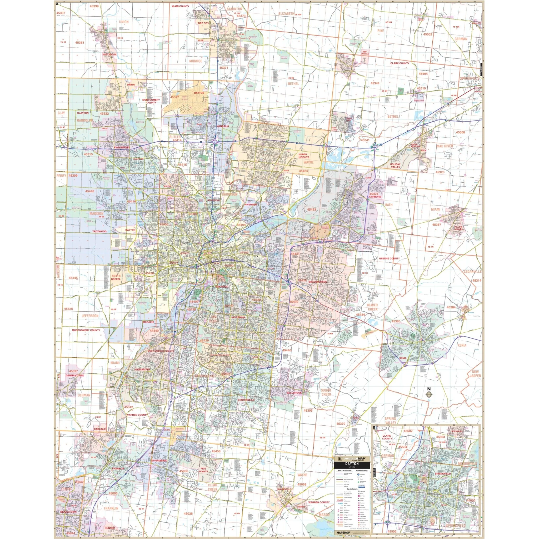
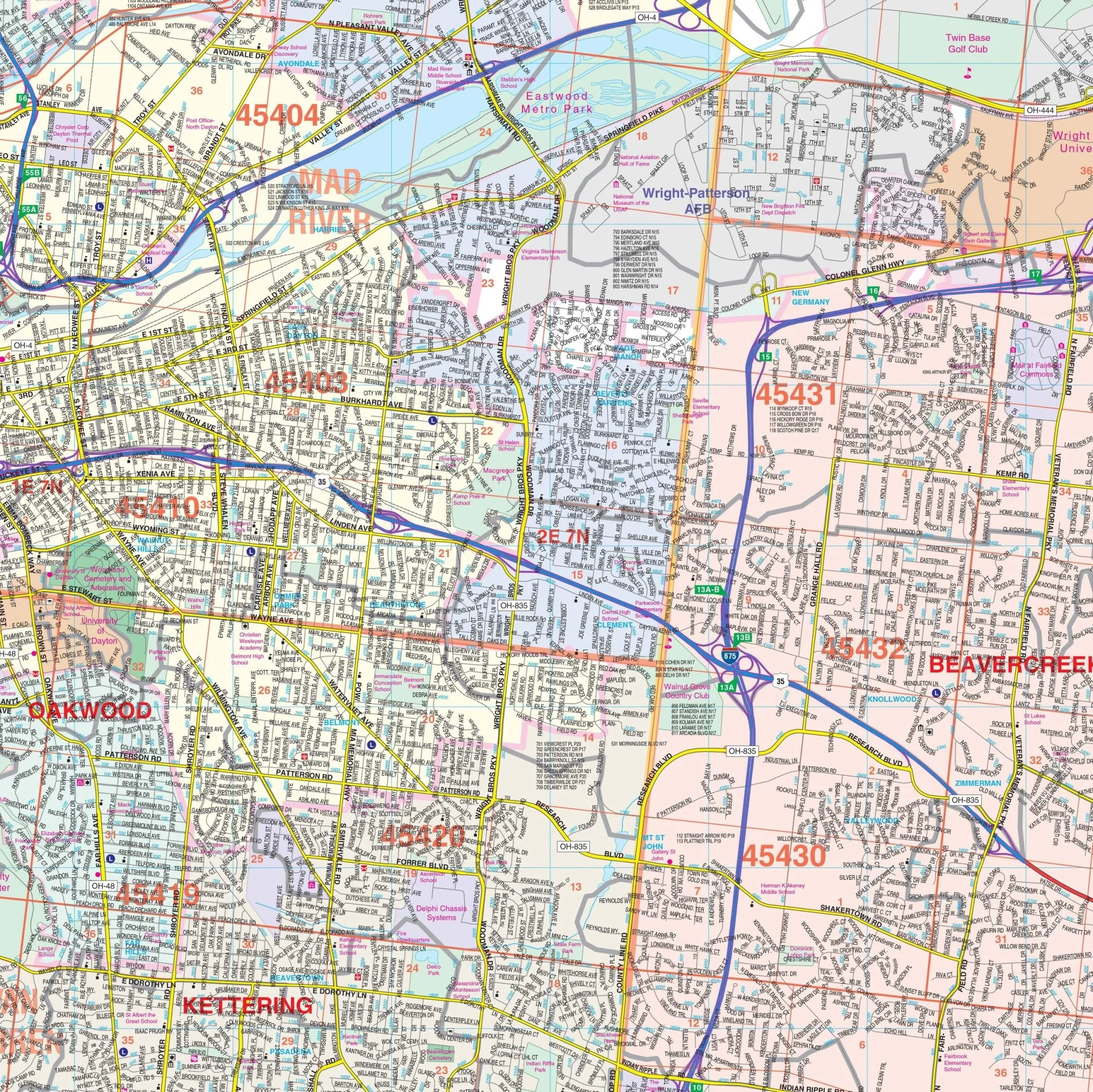
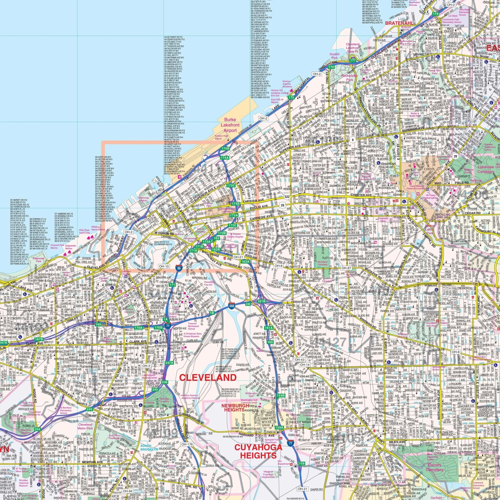
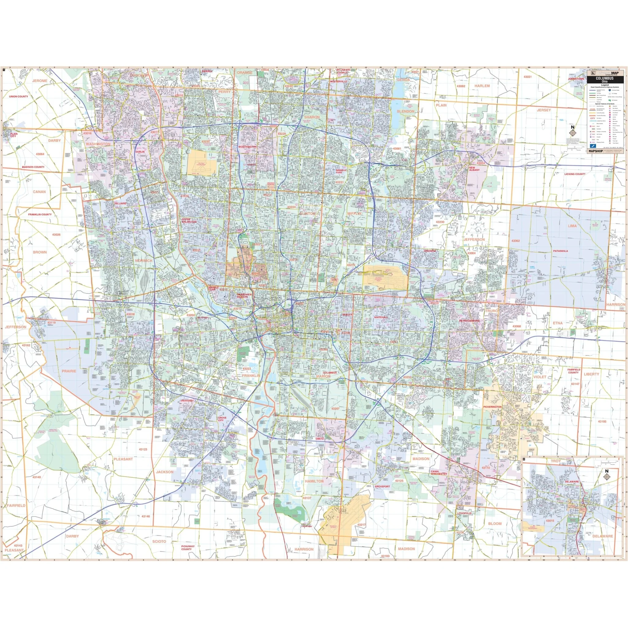
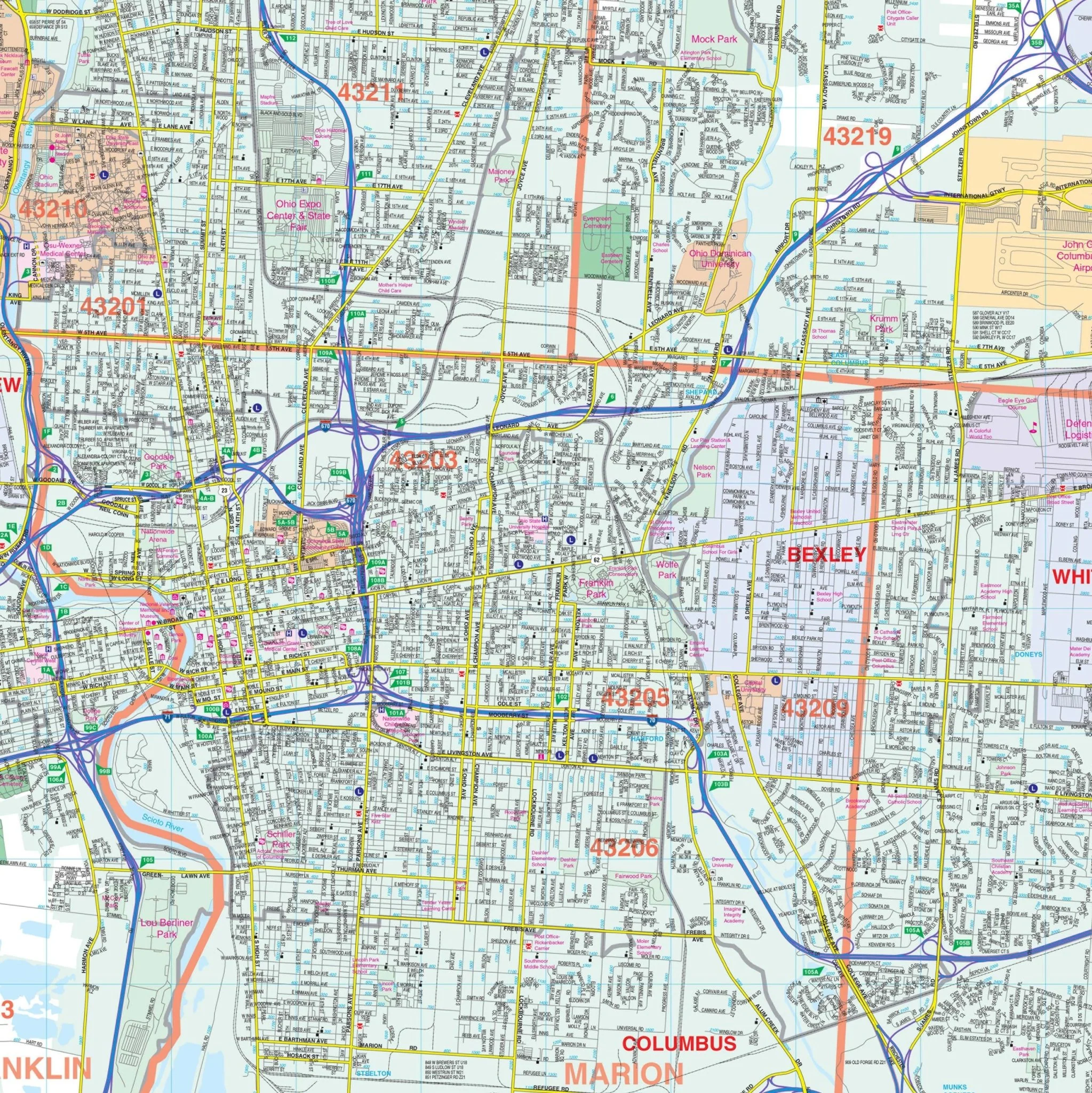
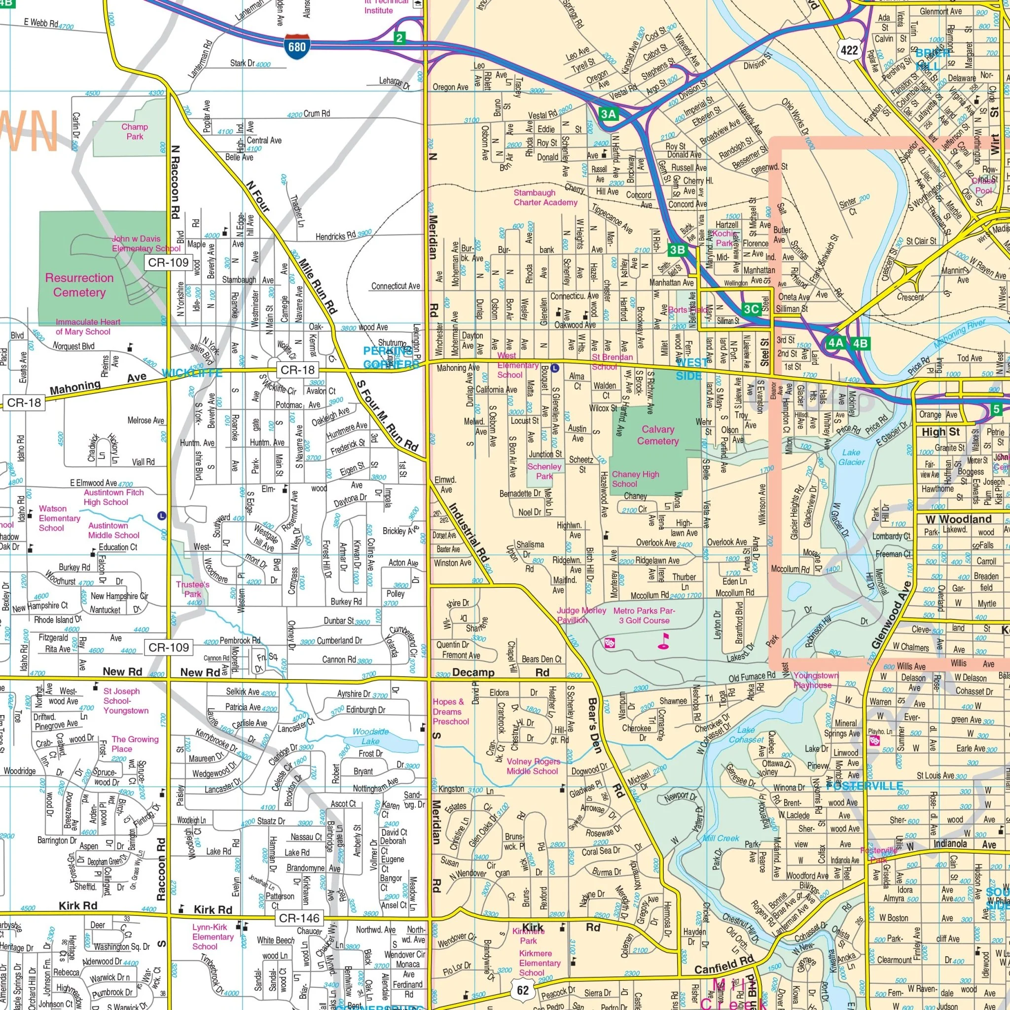
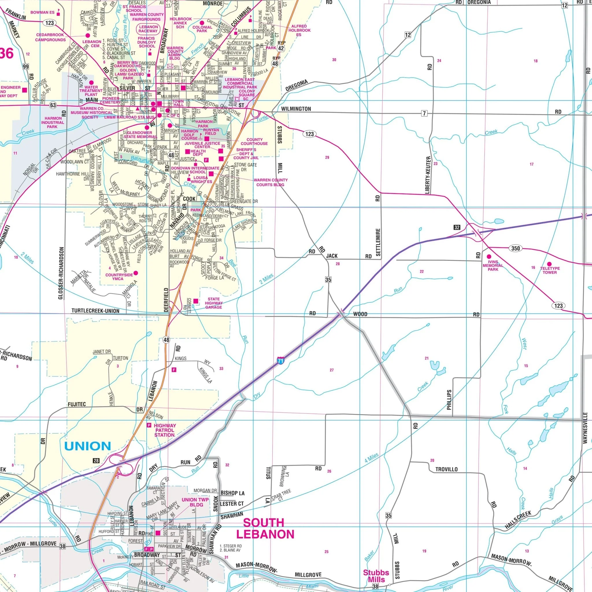
This map also includes a helpful inset map of Downtown Cincinnati. It provides detailed information, including streets, airports, government buildings, post offices, cemeteries, fire and police stations, hospitals, shopping centers, educational institutions, railroads, water features, golf and country clubs, mileage circles, recreational parks, ZIP codes and boundaries, as well as block numbers.
Size: 75" x 52"
Published: 2003
Original: $149.99
-70%$149.99
$45.00Product Information
Product Information
Shipping & Returns
Shipping & Returns
Description
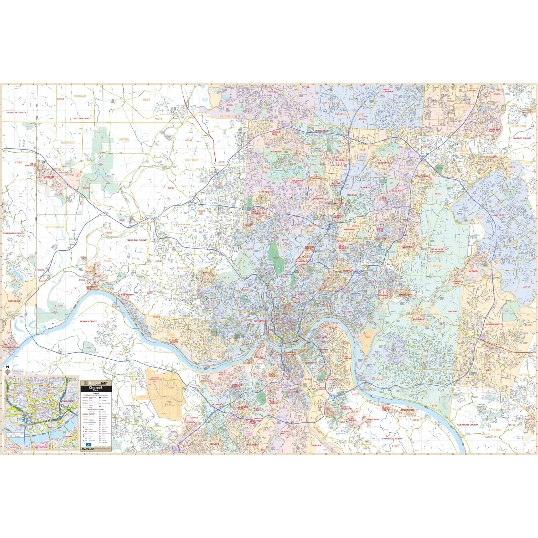
The Cincinnati, OH Wall Map, with adjacent areas, offers comprehensive coverage, including all of Hamilton County, with the following boundaries:
- North: to the Hamilton-Butler County line
- South: to the I-275 Loop and Cincinnati/Northern Kentucky International Airport
- East: to Milford and Loveland
- West: to the Ohio-Indiana State line
This map also includes a helpful inset map of Downtown Cincinnati. It provides detailed information, including streets, airports, government buildings, post offices, cemeteries, fire and police stations, hospitals, shopping centers, educational institutions, railroads, water features, golf and country clubs, mileage circles, recreational parks, ZIP codes and boundaries, as well as block numbers.
Size: 75" x 52"
Published: 2003