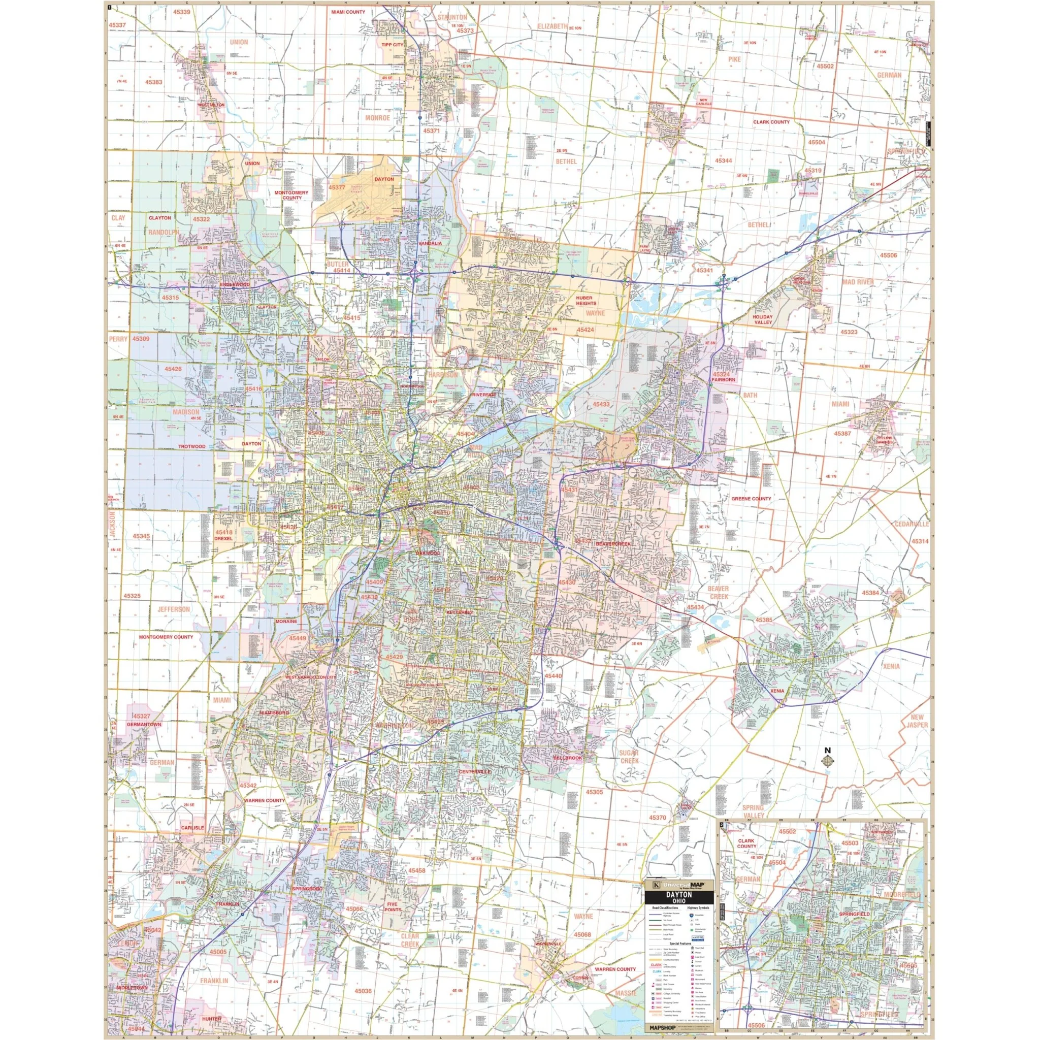


Dayton, OH Wall Map
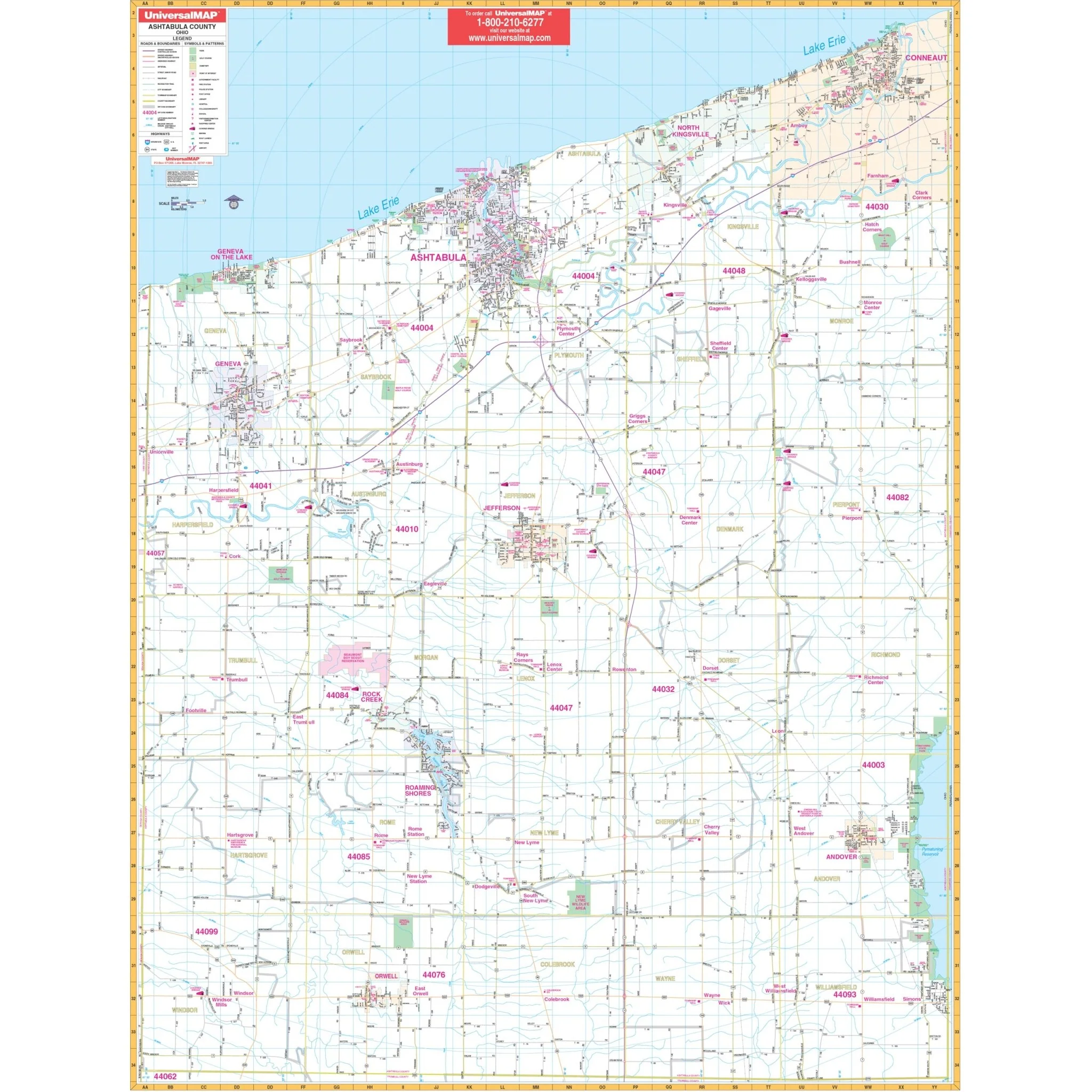
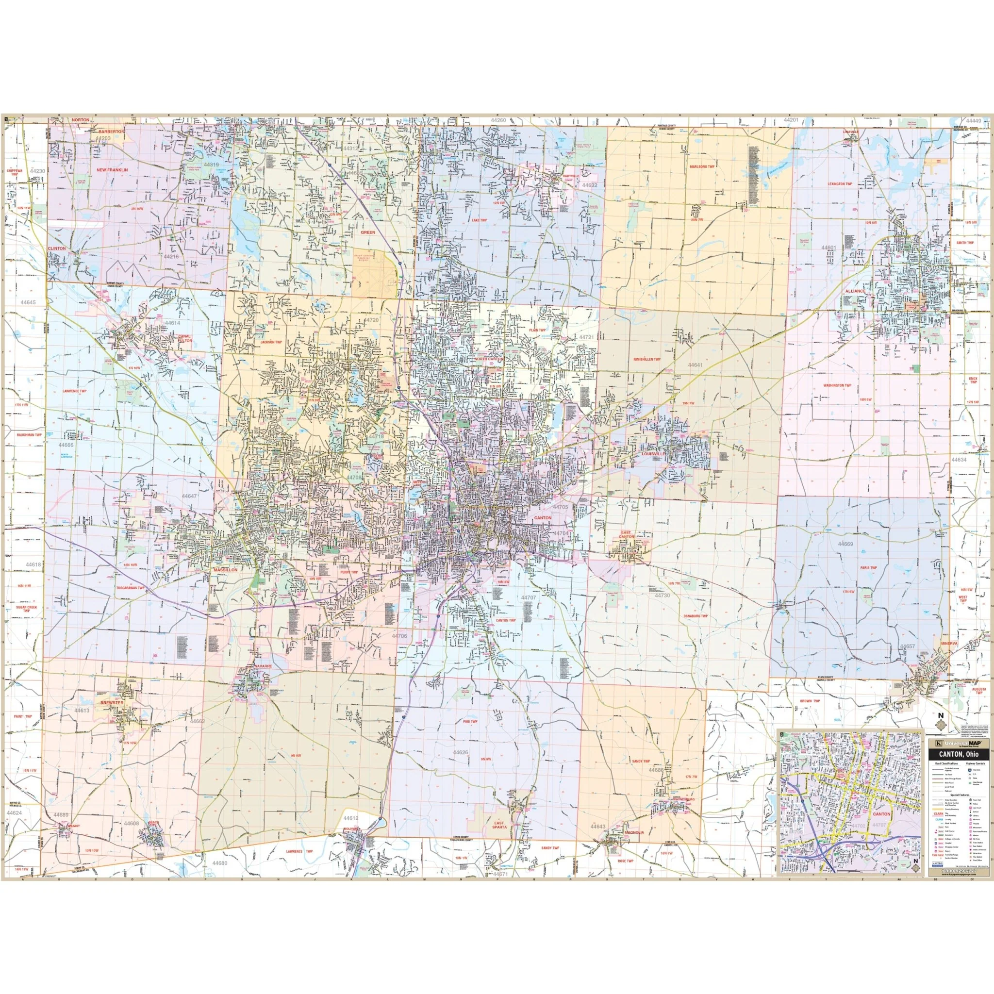
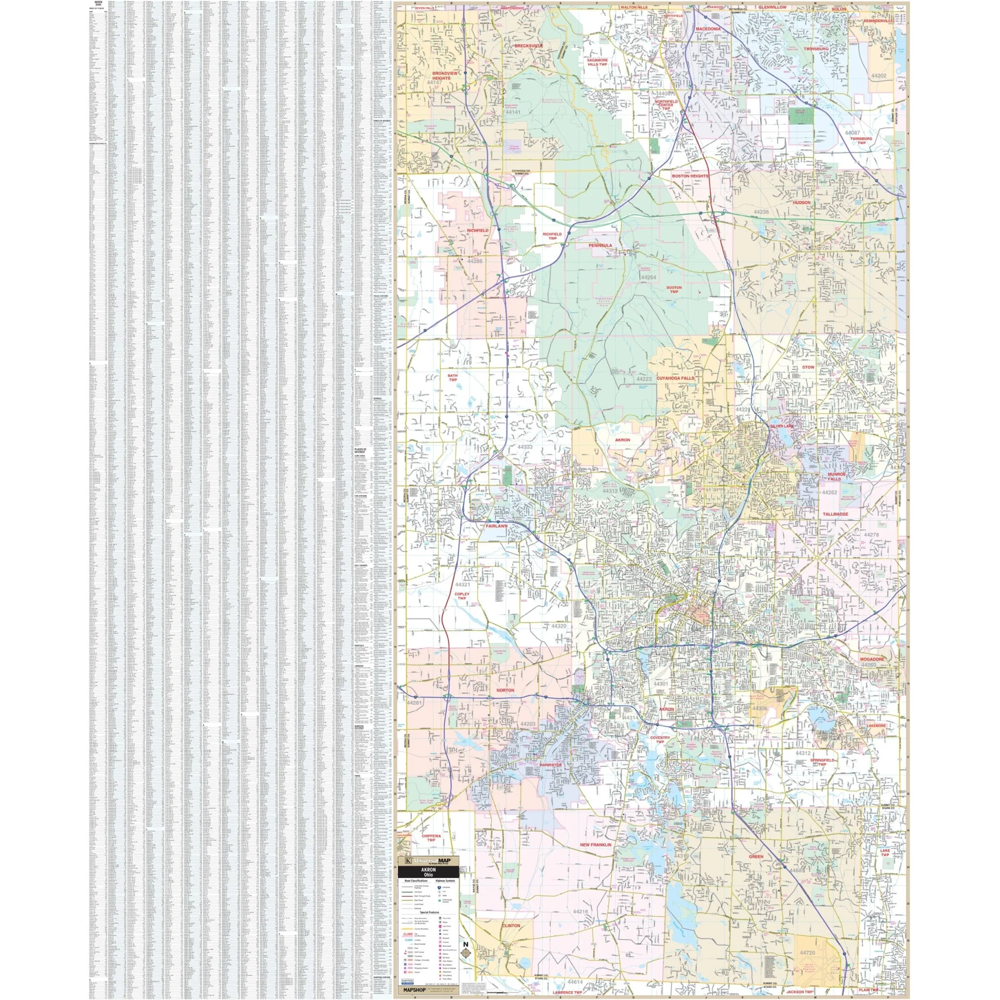
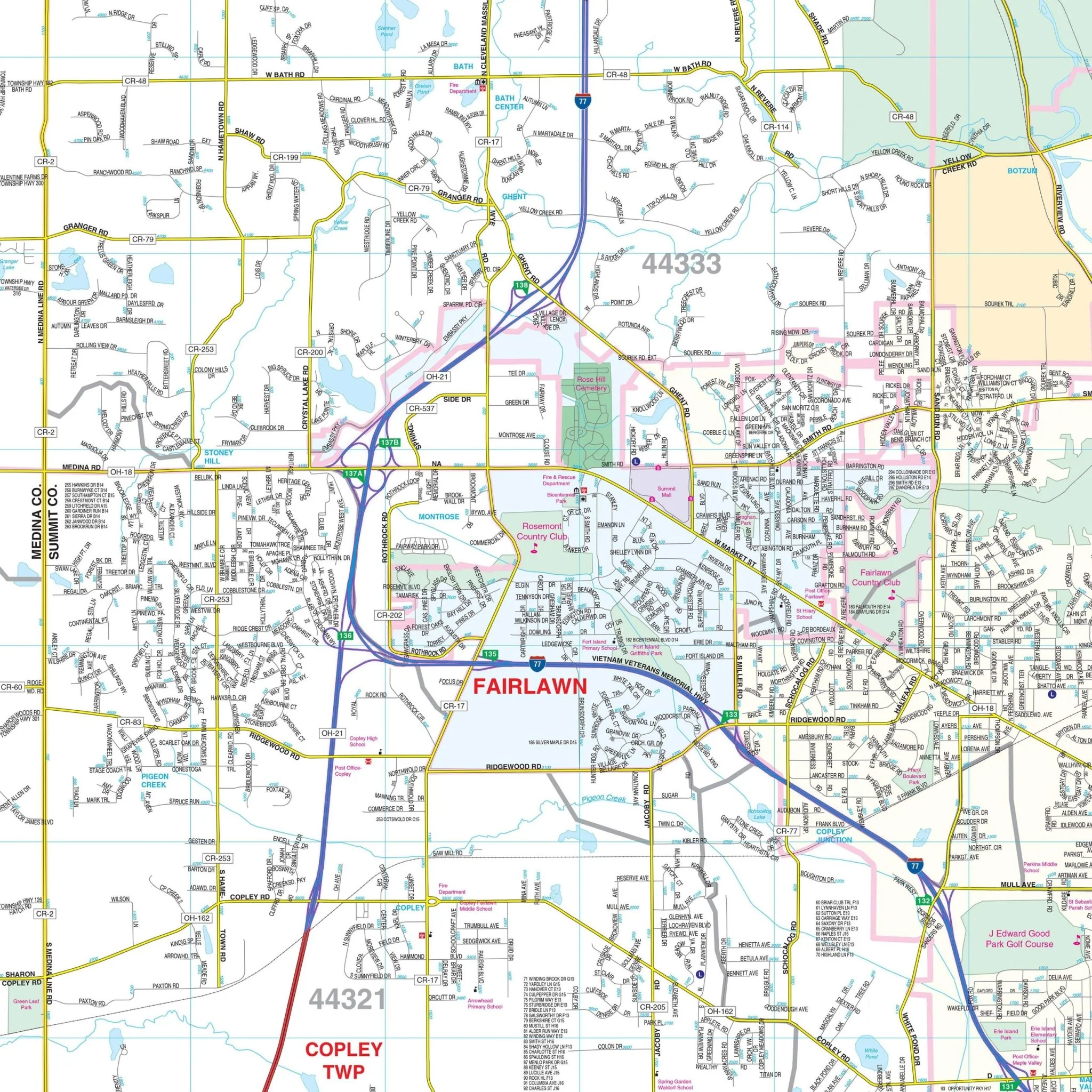
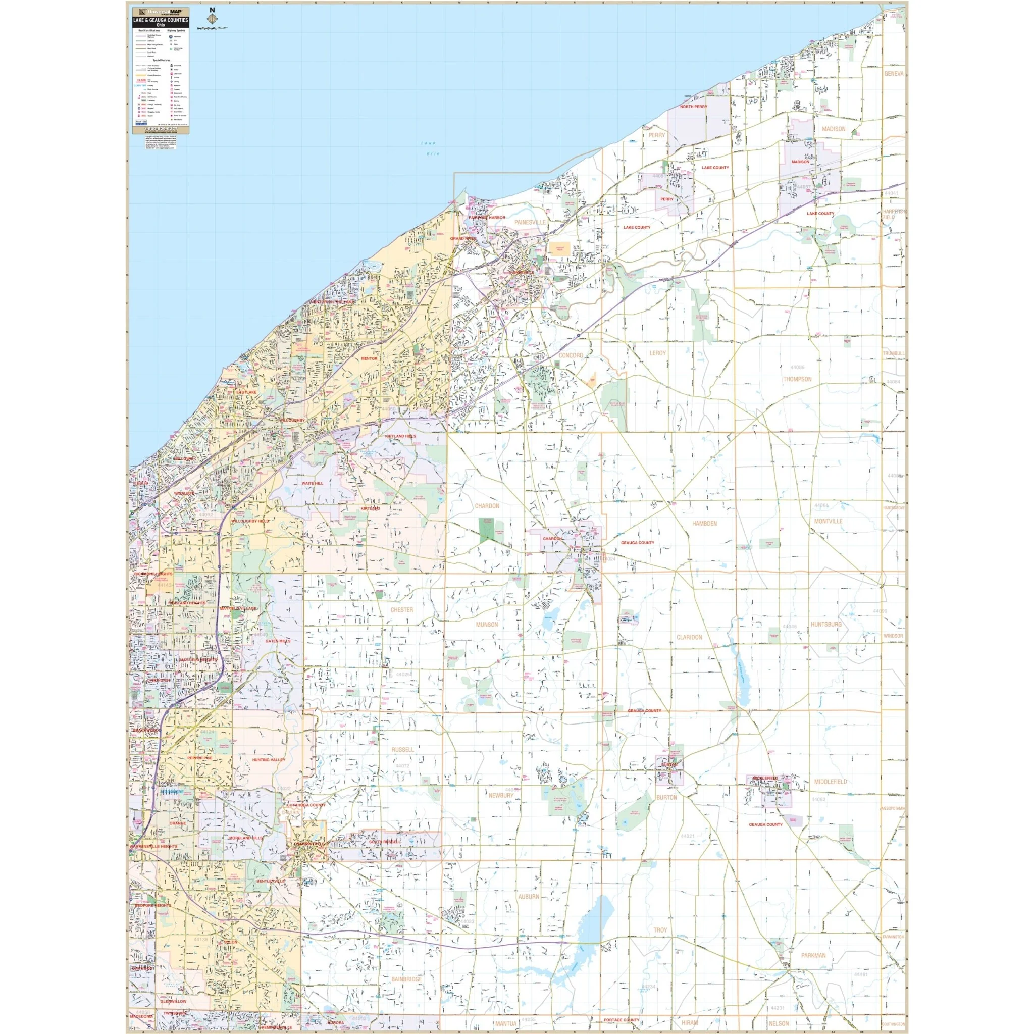
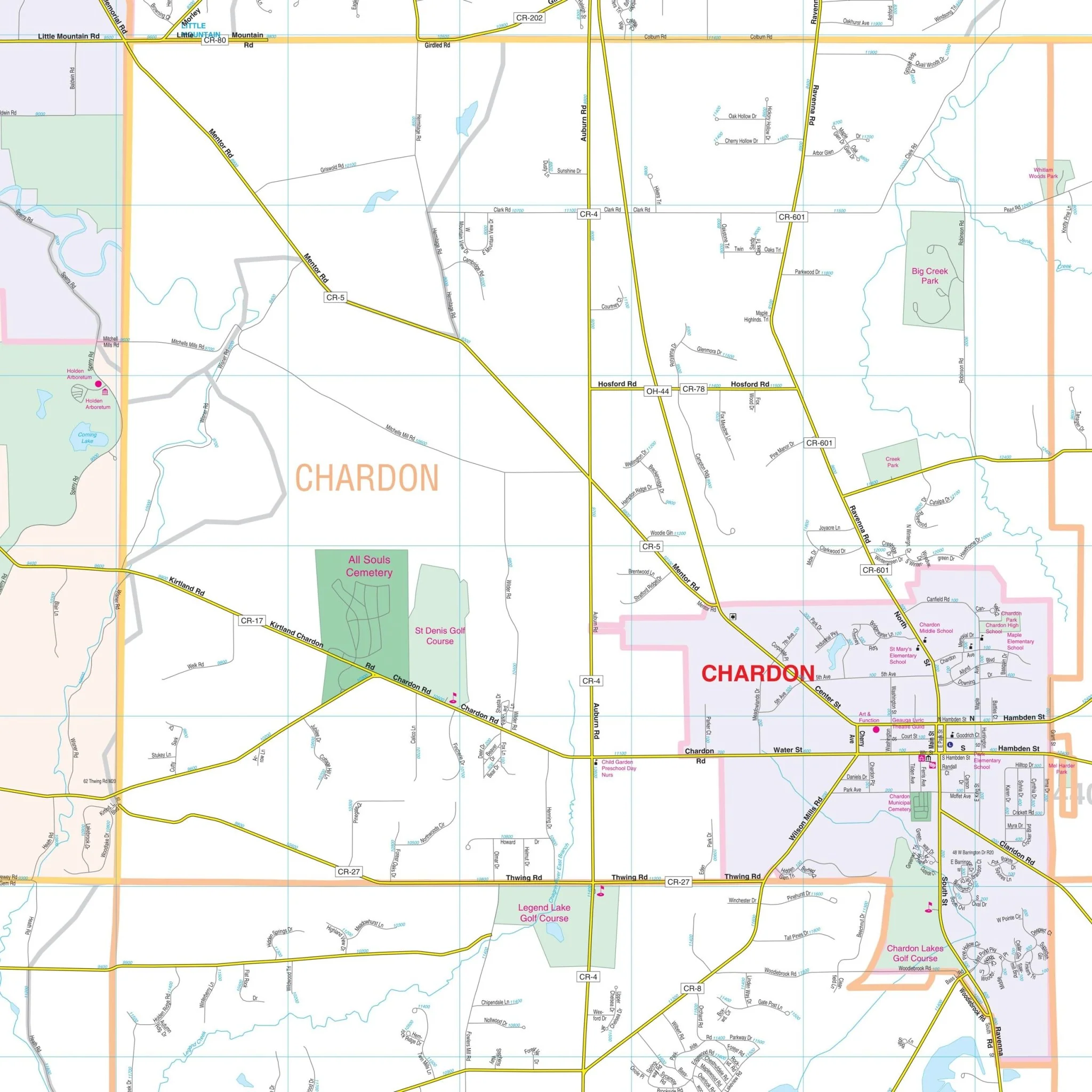
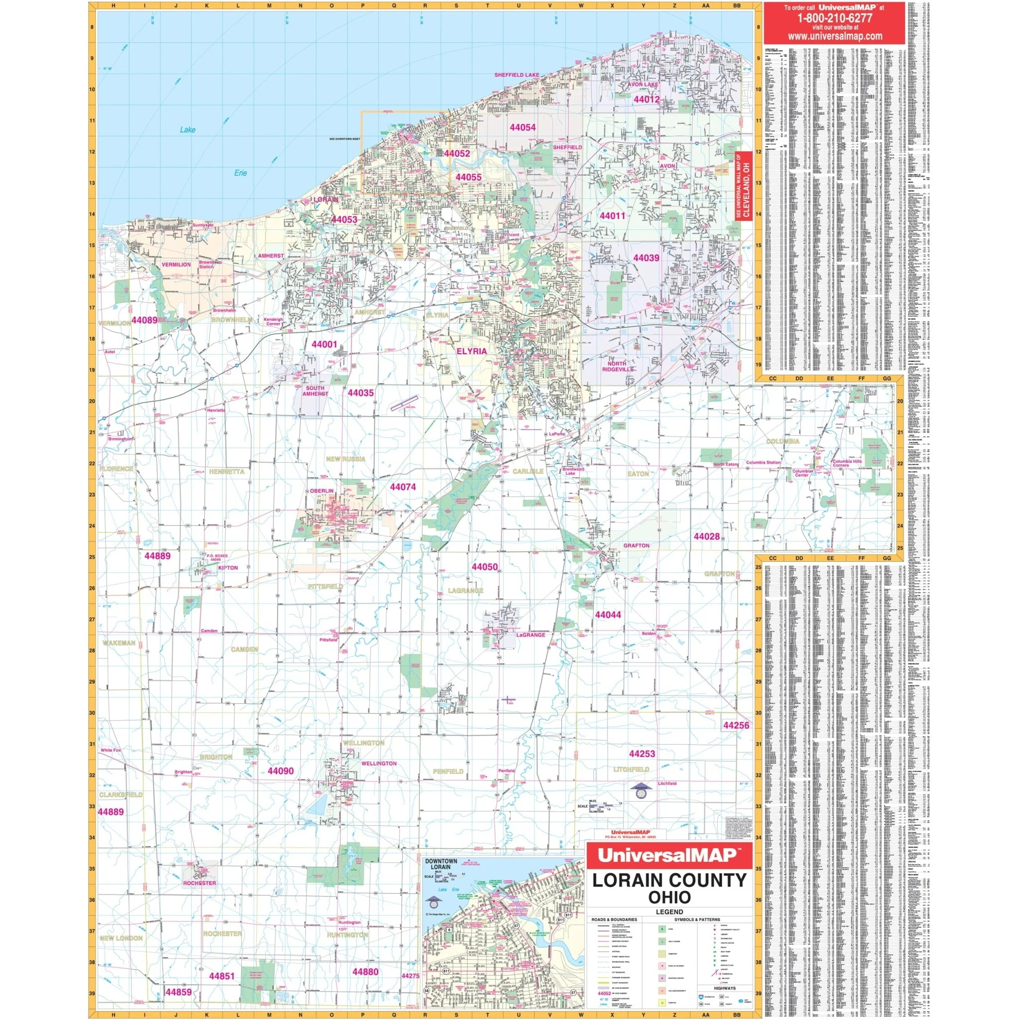
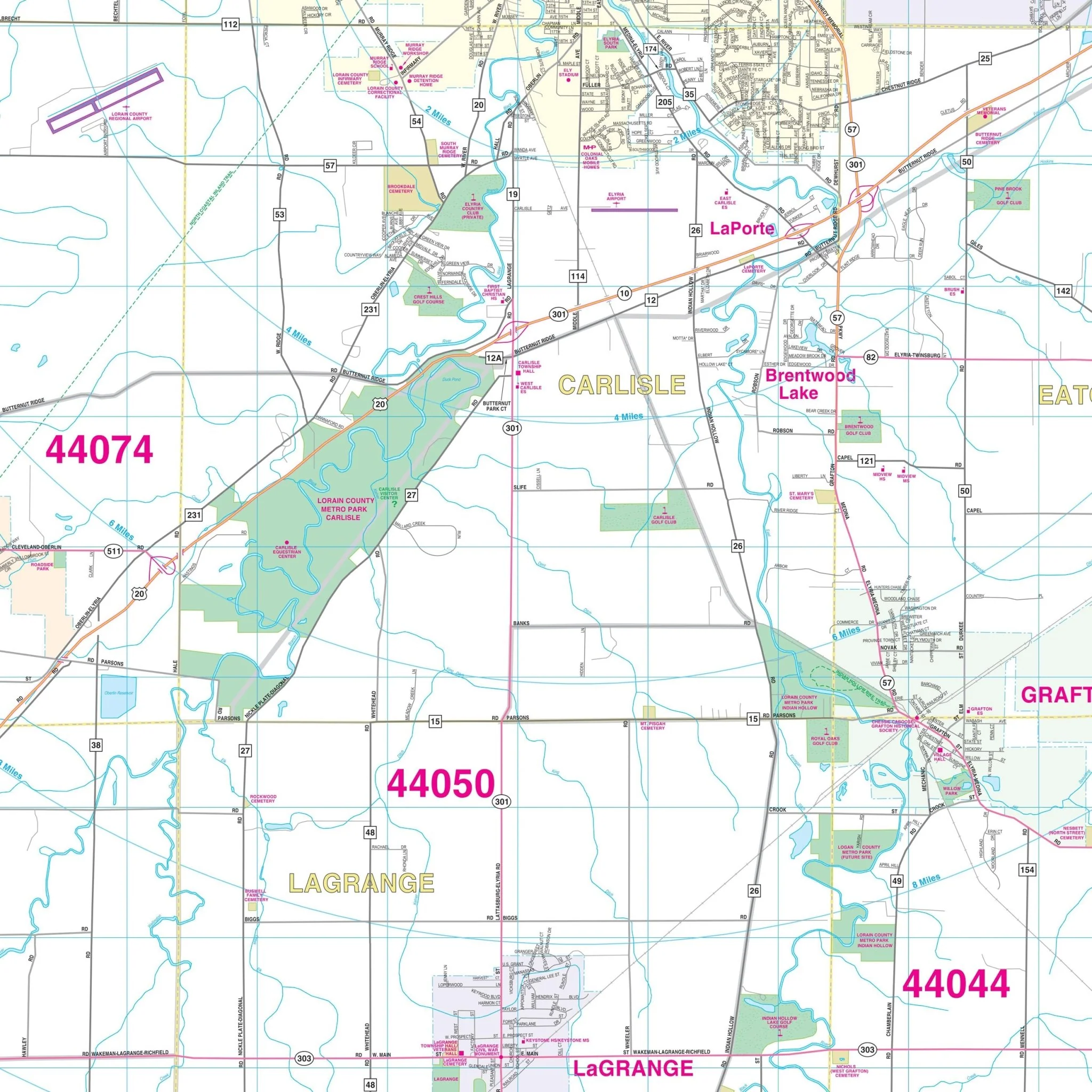
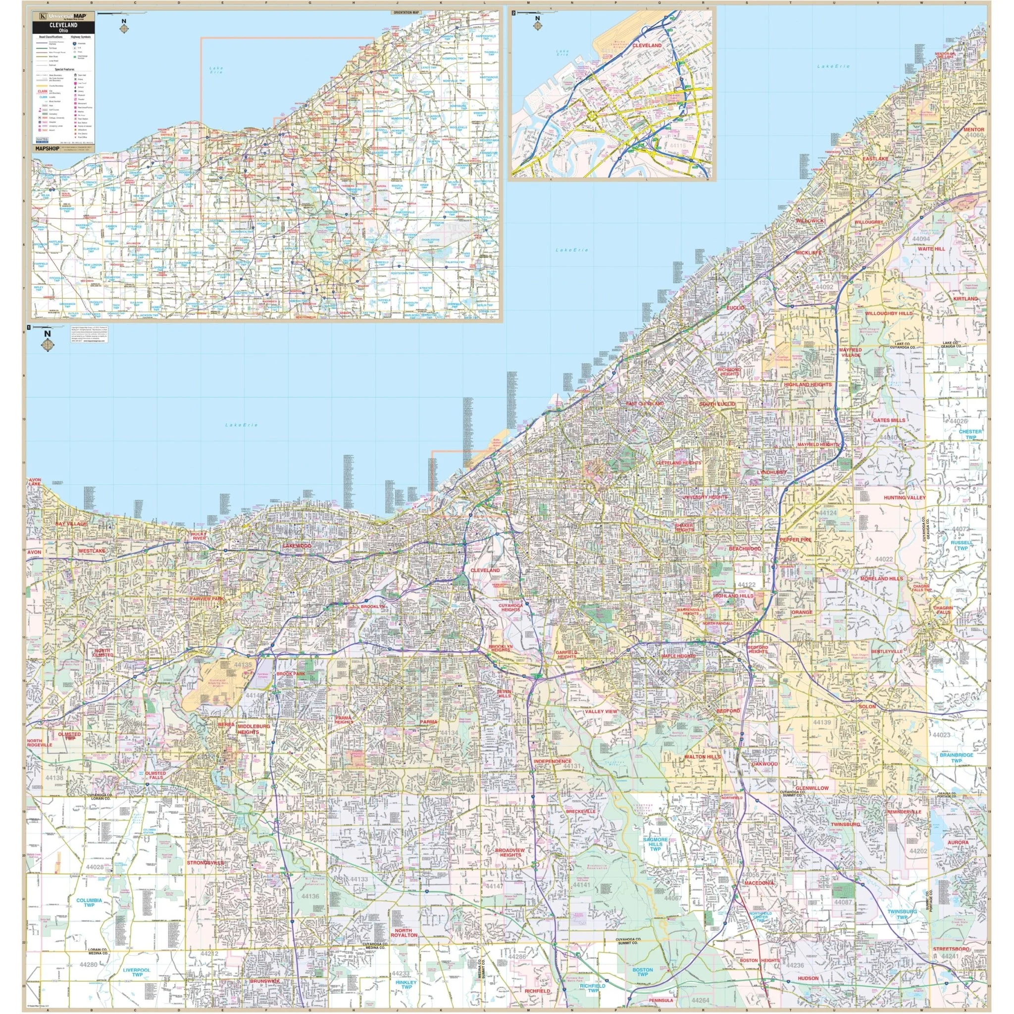
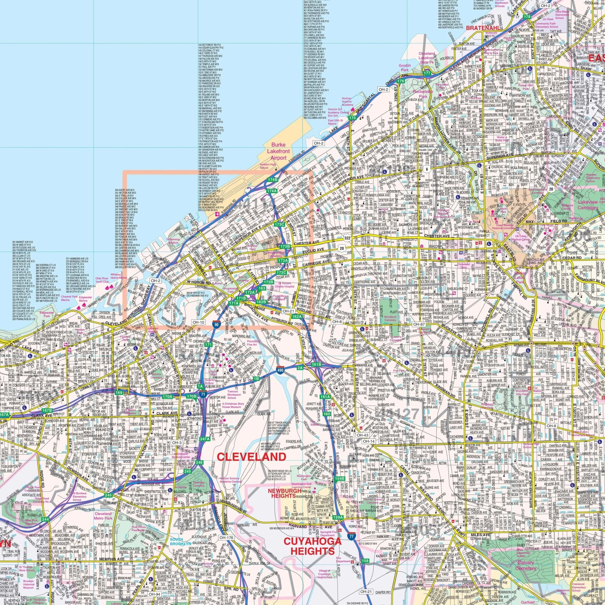
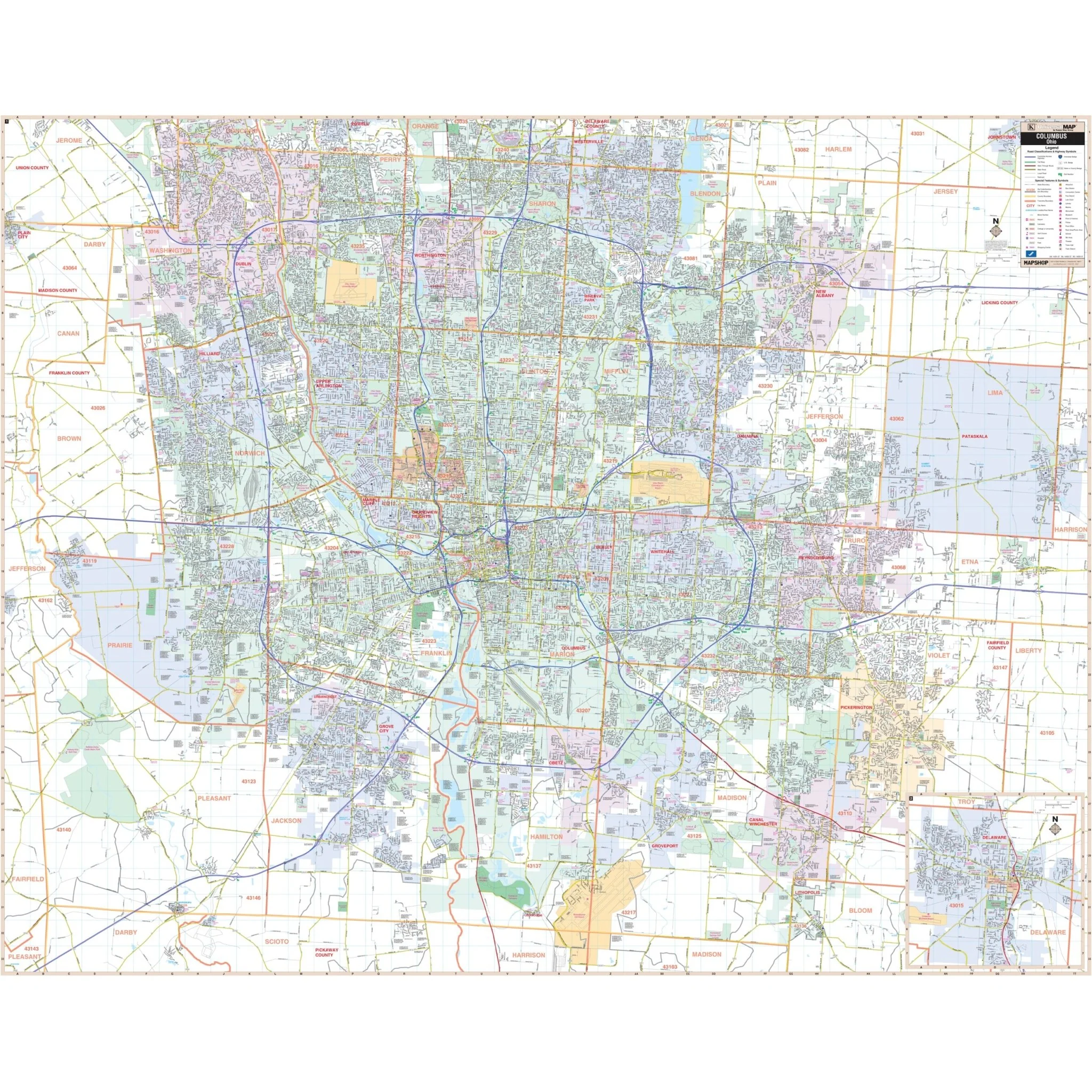
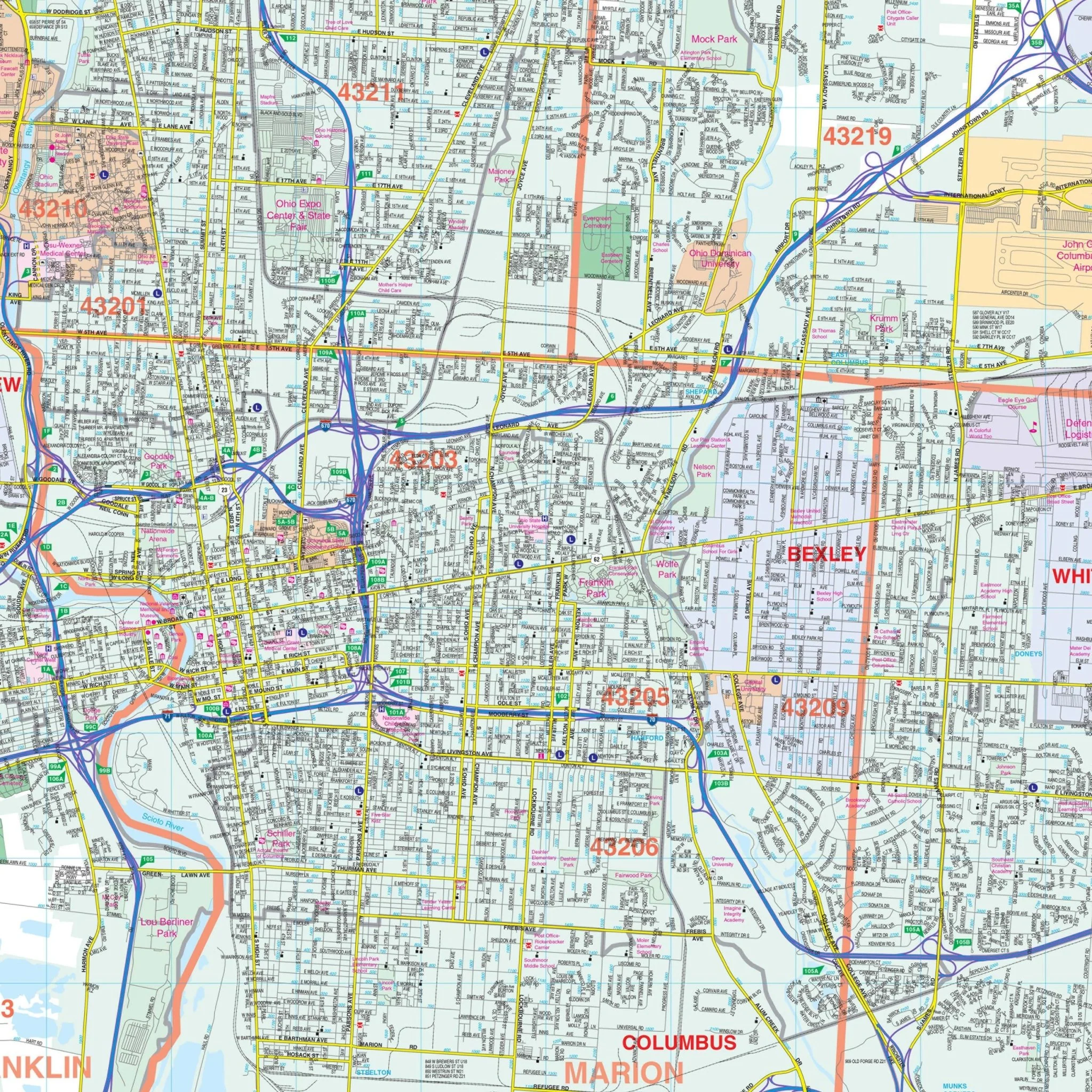
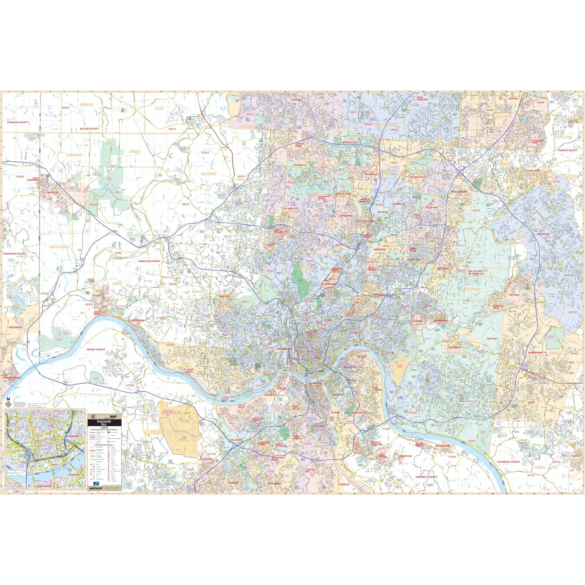
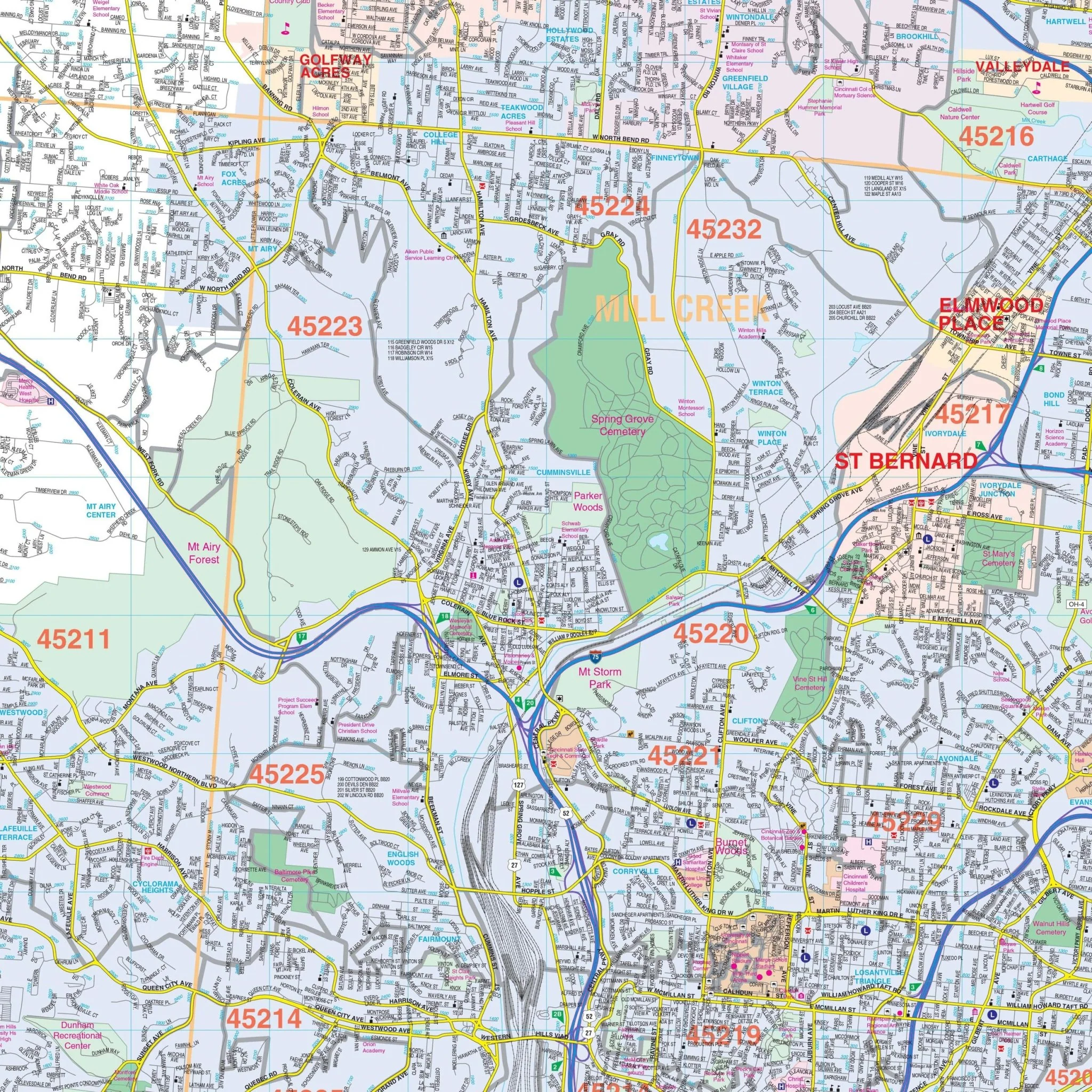
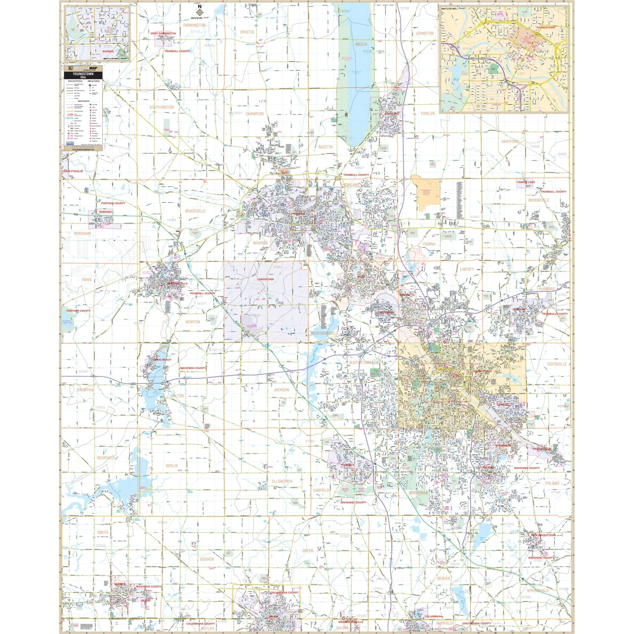
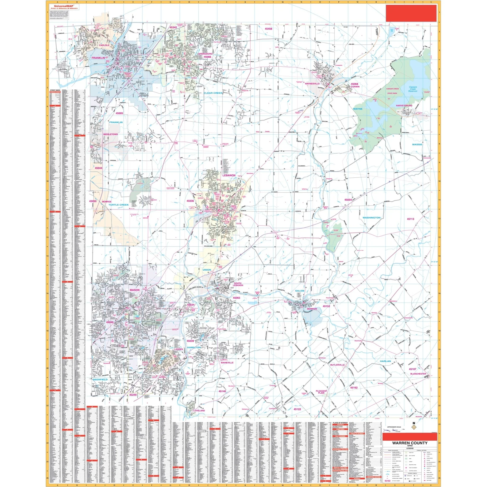
The Dayton, Ohio and adjacent areas Wall Map by Kappa Map Group offers complete street detail at a scale of 1" = 2,833 feet. The coverage area includes the following boundaries:
- North: to Tipp City and New Carlisle
- South: to Waynesville, Corwin, and Harveysburg in Warren County
- East: to Yellow Springs and Xenia
- West: to Englewood, Trottwood, and all of Carlisle in Warren County
This map also includes insets for Springfield and features a wide range of special information and data, such as airports, all streets and highways, government buildings, cemeteries, shopping centers, fire and police stations, hospitals, water features, educational institutions, railroads, recreational parks, golf and country clubs, post offices, libraries, ZIP codes and boundaries, points of interest, color-coded city and village limits, as well as section/township/range lines and township names and boundaries.
Size: 54" x 67"
Published: 2014
Original: $269.99
-70%$269.99
$81.00Product Information
Product Information
Shipping & Returns
Shipping & Returns
Description
The Dayton, Ohio and adjacent areas Wall Map by Kappa Map Group offers complete street detail at a scale of 1" = 2,833 feet. The coverage area includes the following boundaries:
- North: to Tipp City and New Carlisle
- South: to Waynesville, Corwin, and Harveysburg in Warren County
- East: to Yellow Springs and Xenia
- West: to Englewood, Trottwood, and all of Carlisle in Warren County
This map also includes insets for Springfield and features a wide range of special information and data, such as airports, all streets and highways, government buildings, cemeteries, shopping centers, fire and police stations, hospitals, water features, educational institutions, railroads, recreational parks, golf and country clubs, post offices, libraries, ZIP codes and boundaries, points of interest, color-coded city and village limits, as well as section/township/range lines and township names and boundaries.
Size: 54" x 67"
Published: 2014