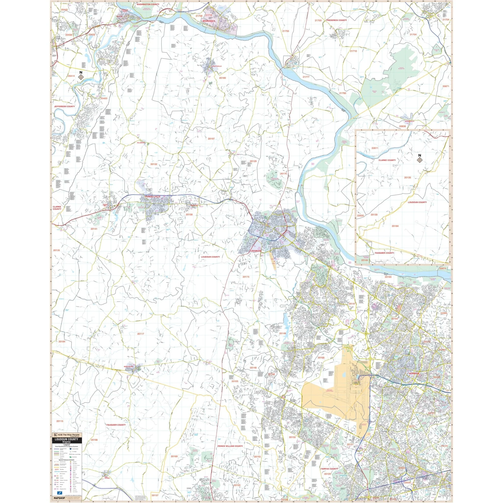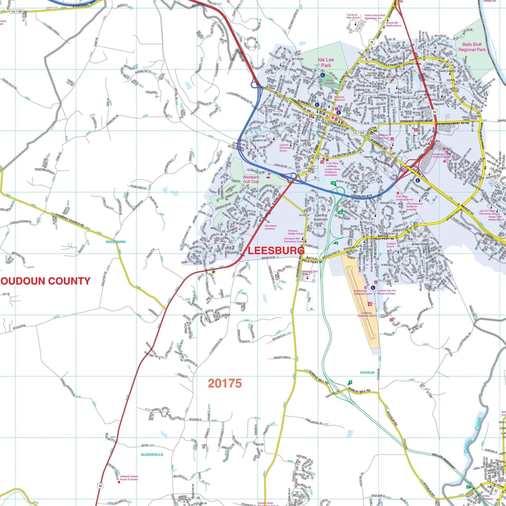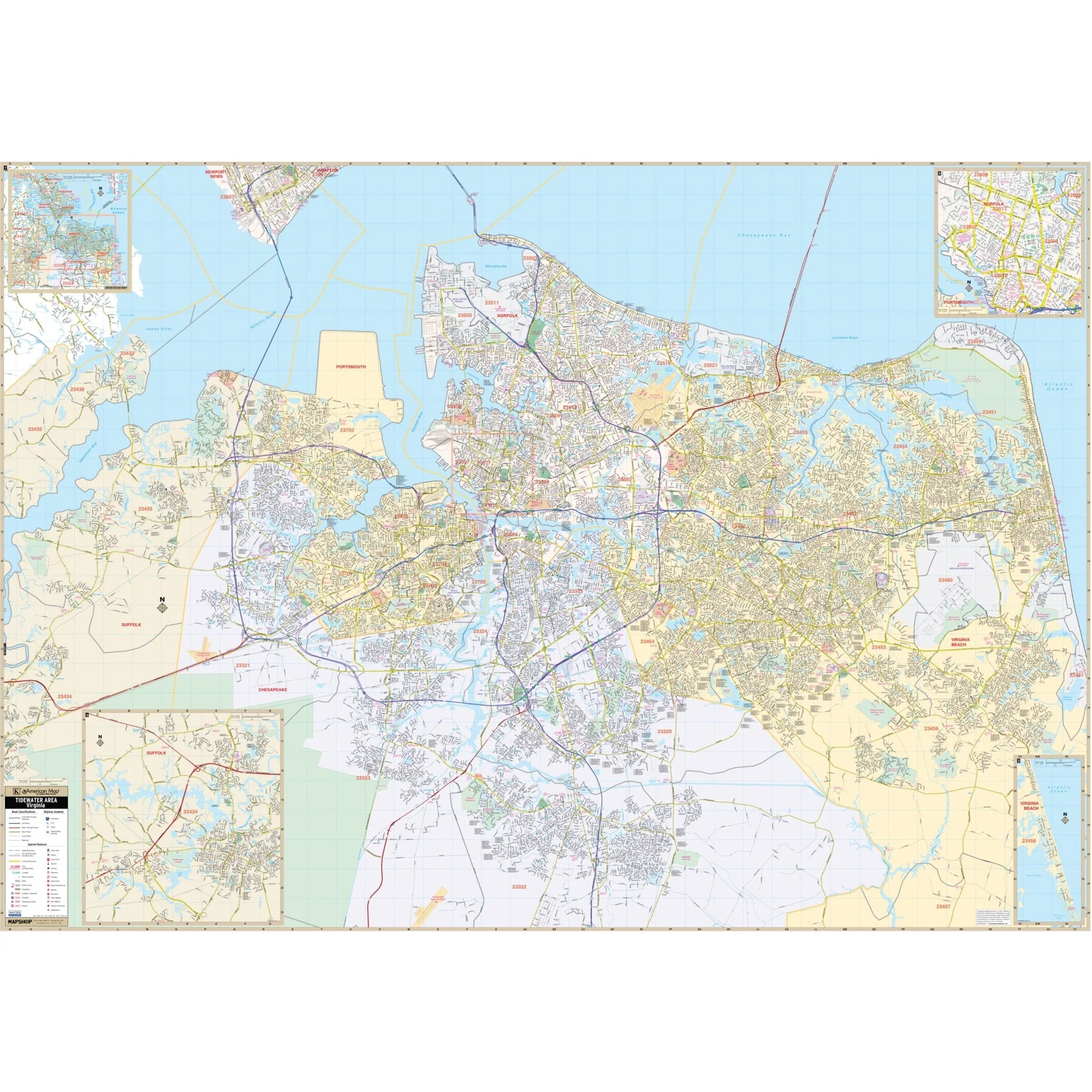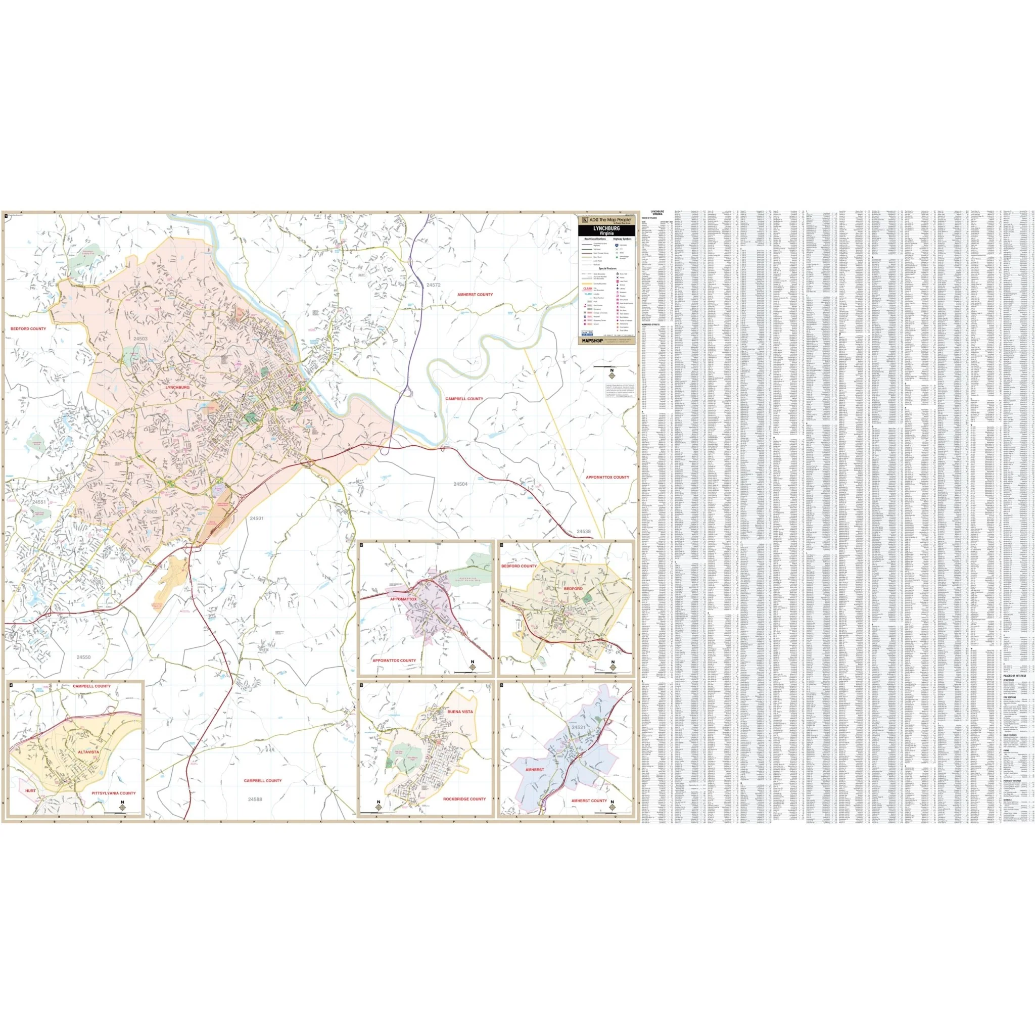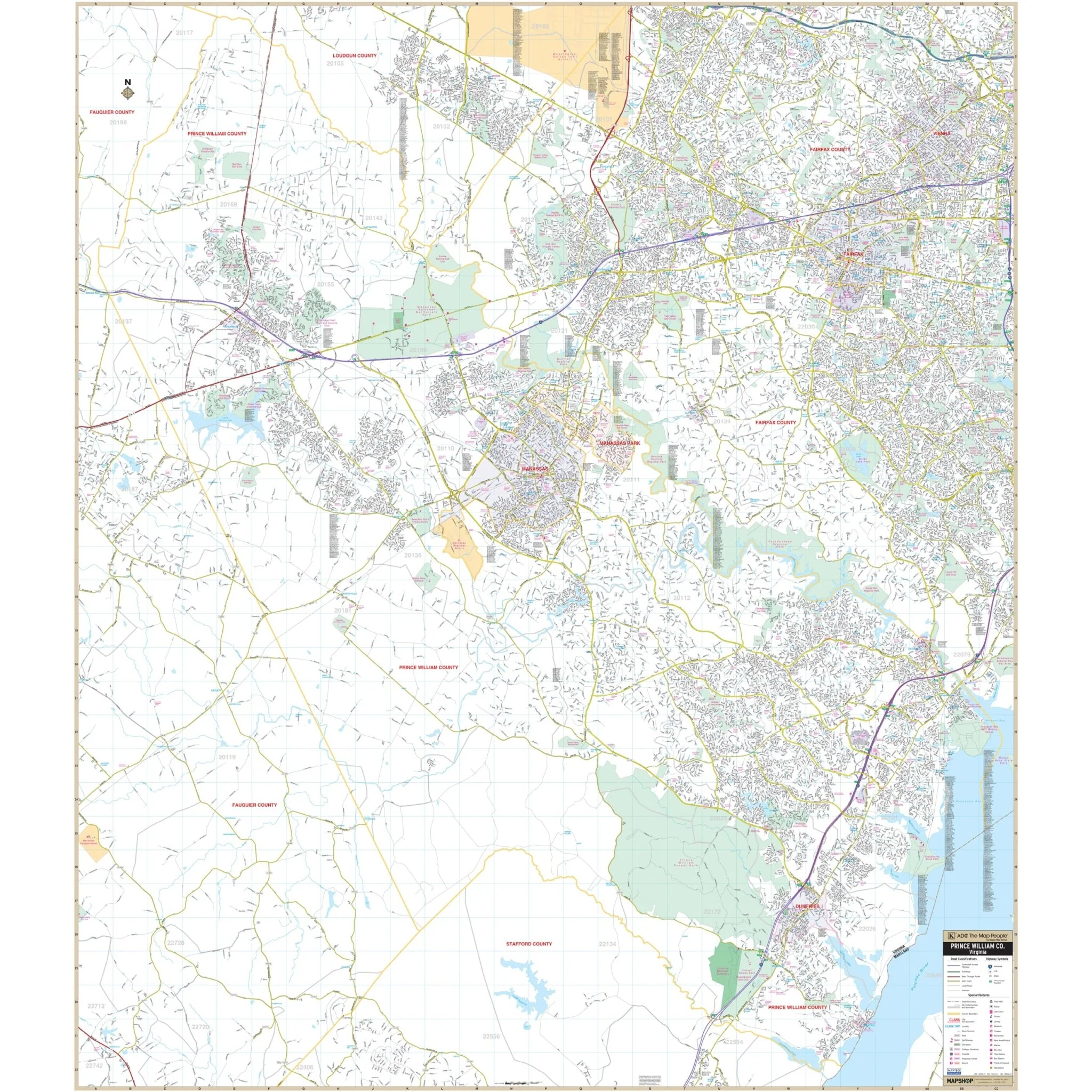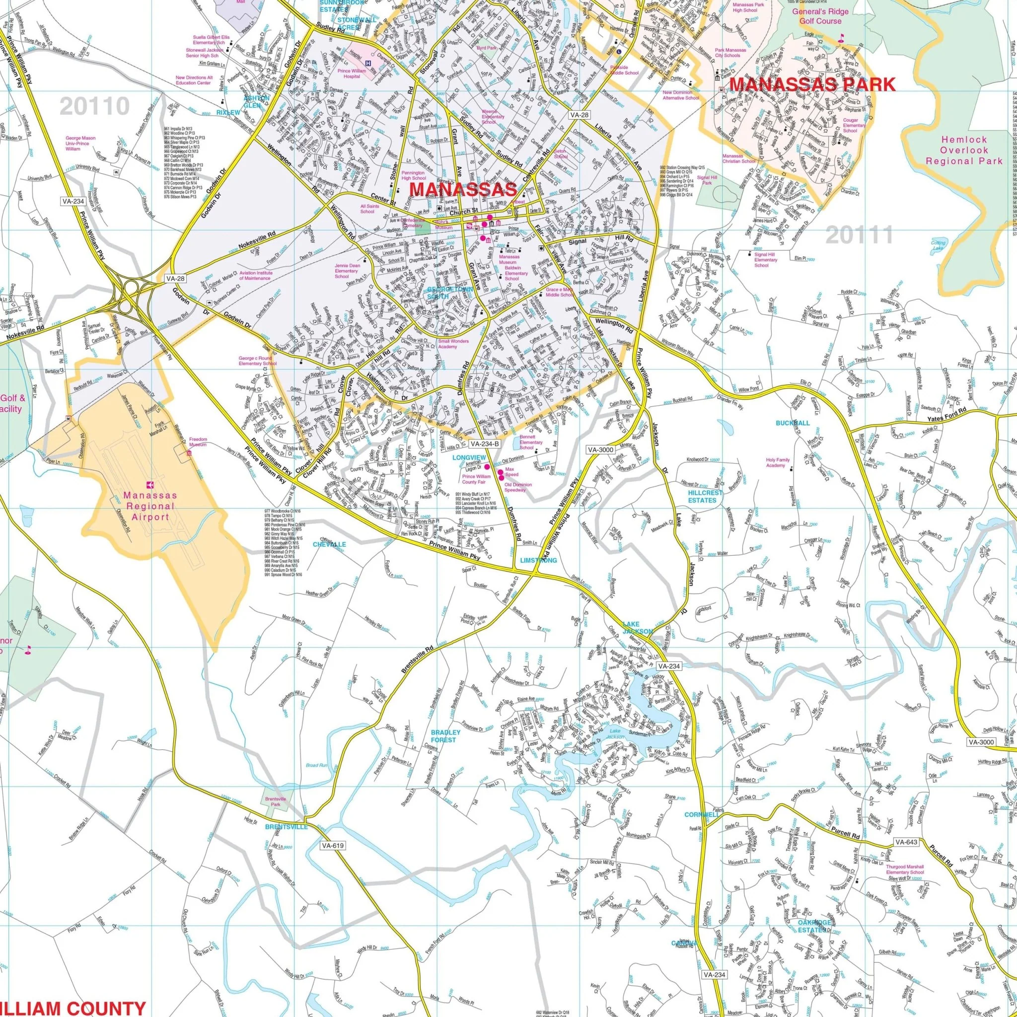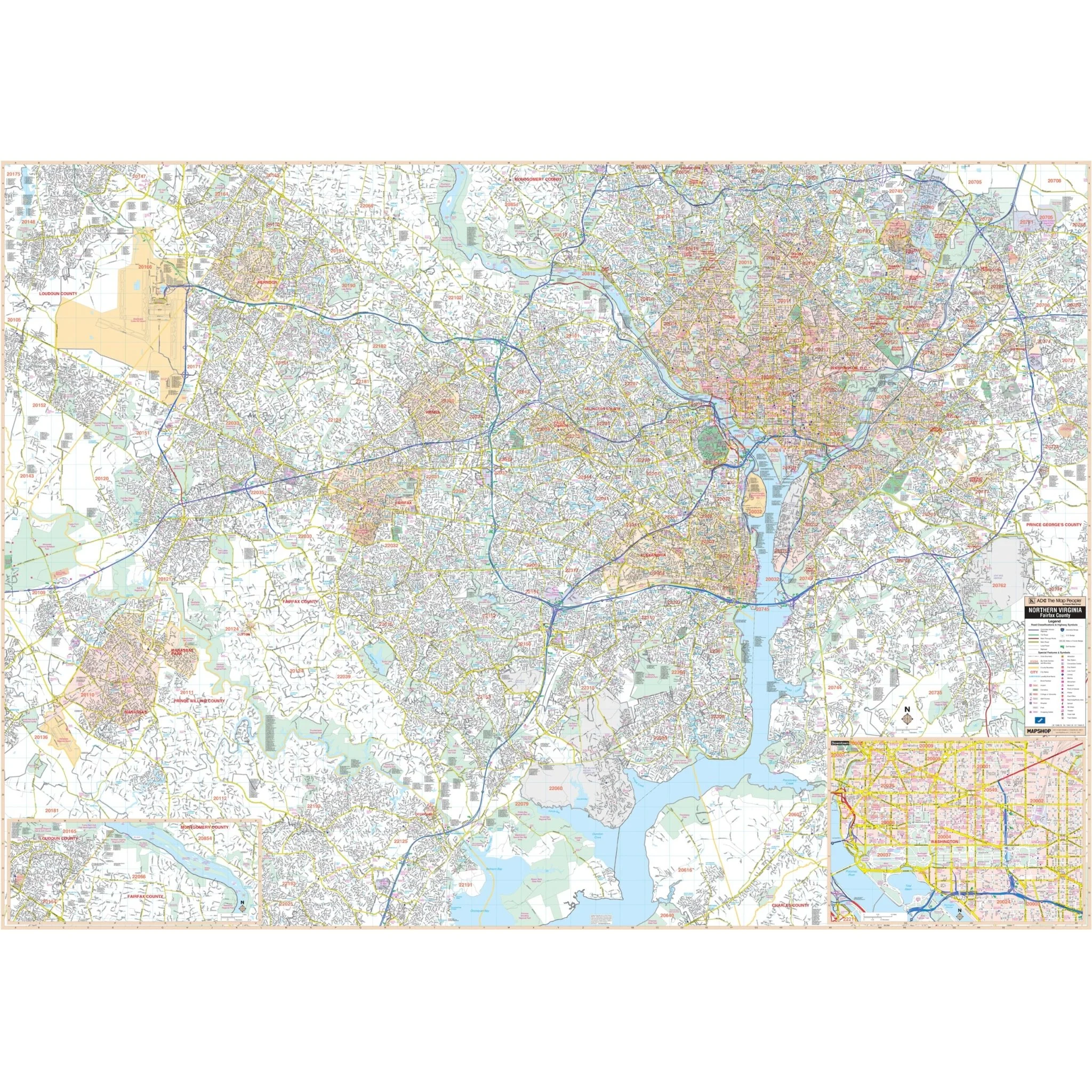
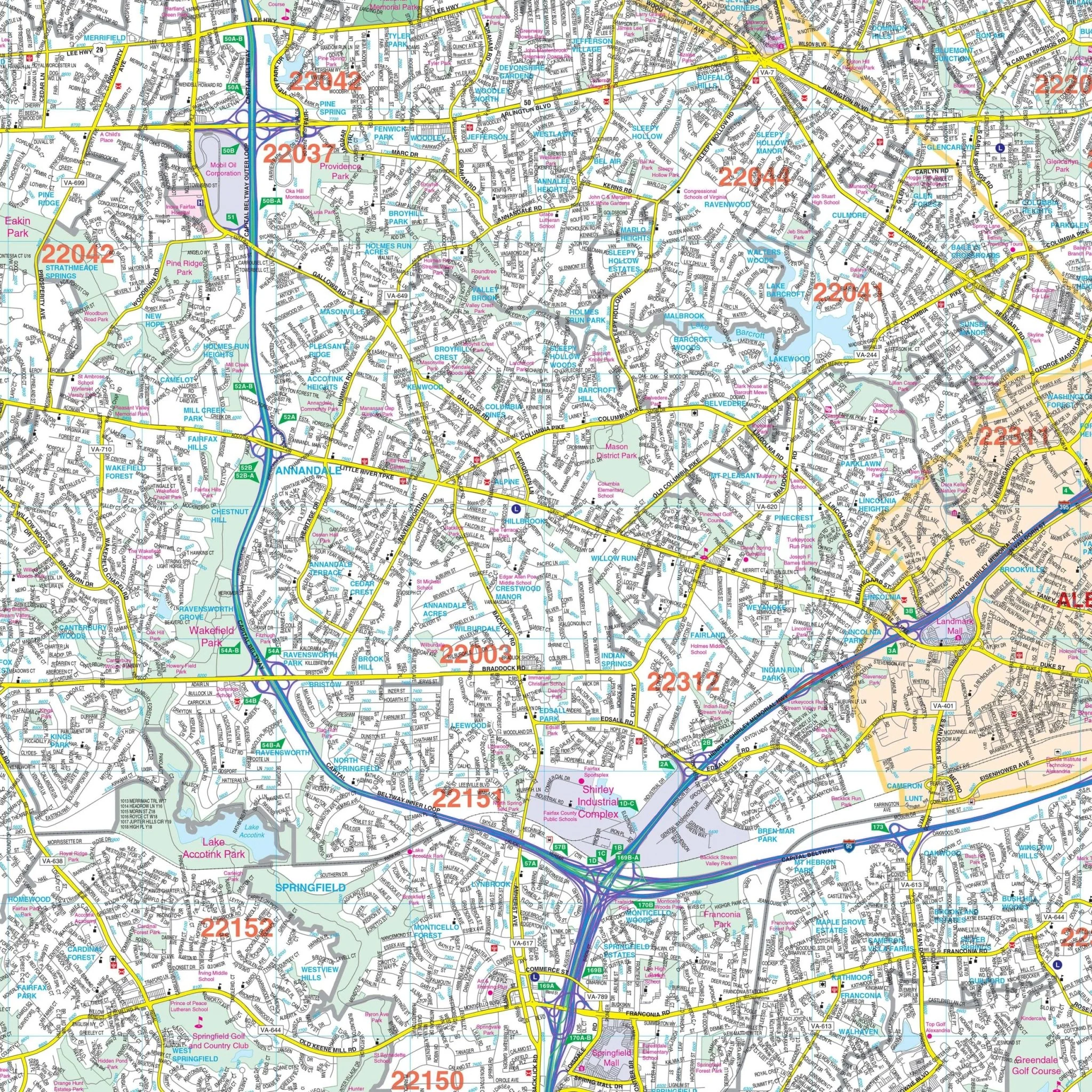


Fairfax County & Northern Virginia Wall Map
The Northern Virginia Wall Map, with adjacent areas, provides complete street detail. The area of coverage includes:
- North to the Fairfax County line and Northern Virginia Regional Park
- South to Potomac Shoreline Regional Park and Occoquan Bay
- East to Goddard Space Flight Center and Glenarden
- West to the Fairfax County line and Manassas Regional Airport
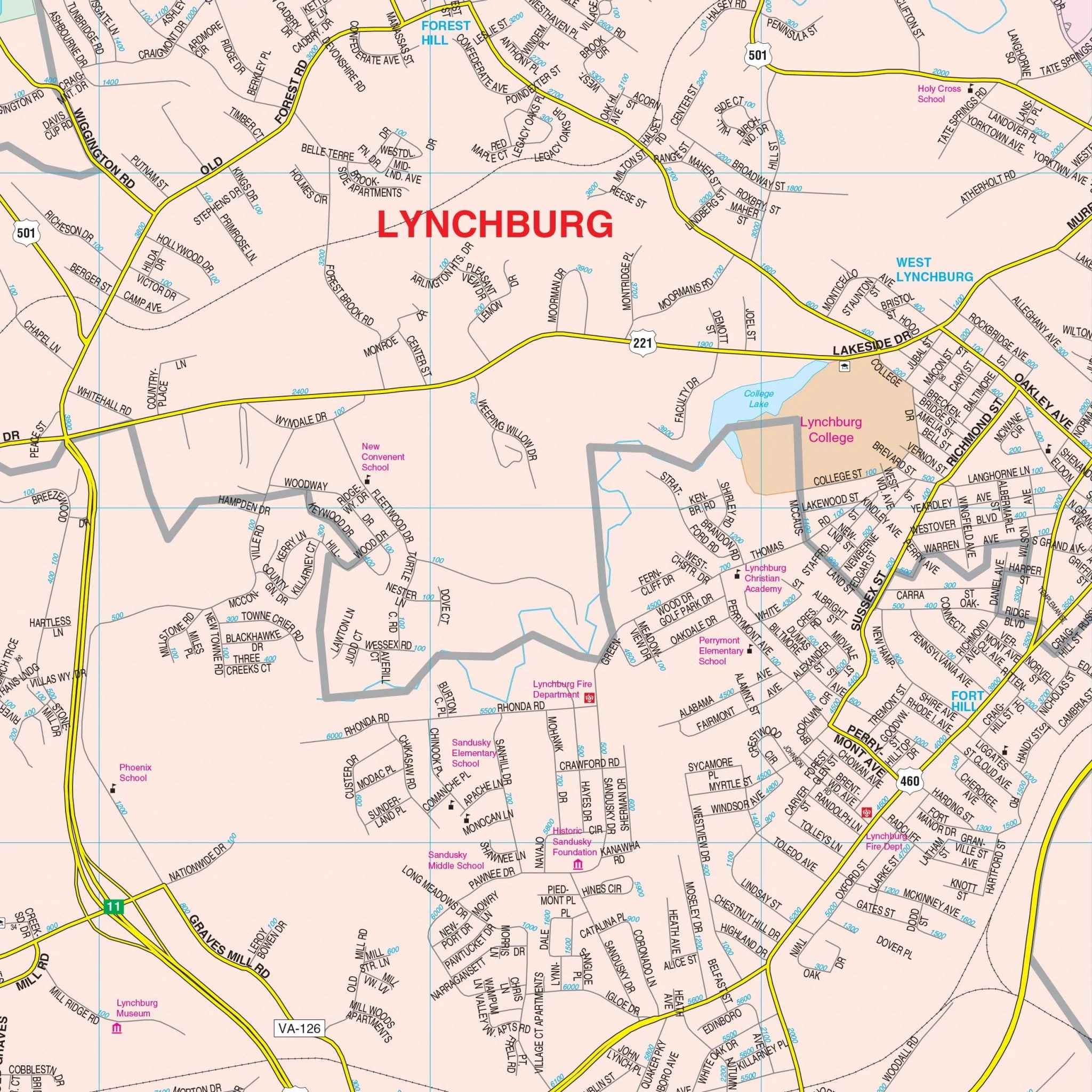
The map also includes a detailed downtown inset of Washington, D.C. Details and features highlighted on the map encompass airports, block numbers, cemeteries, city limits, educational institutions, fire and police stations, golf and country clubs, government buildings, hospitals, libraries, points of interest, railroads, recreational parks, shopping centers, streets and highways, water features, and ZIP codes.
Size: 76" x 54"
Published: 2015
Original: $309.99
-70%$309.99
$93.00Product Information
Product Information
Shipping & Returns
Shipping & Returns
Description
The Northern Virginia Wall Map, with adjacent areas, provides complete street detail. The area of coverage includes:
- North to the Fairfax County line and Northern Virginia Regional Park
- South to Potomac Shoreline Regional Park and Occoquan Bay
- East to Goddard Space Flight Center and Glenarden
- West to the Fairfax County line and Manassas Regional Airport
The map also includes a detailed downtown inset of Washington, D.C. Details and features highlighted on the map encompass airports, block numbers, cemeteries, city limits, educational institutions, fire and police stations, golf and country clubs, government buildings, hospitals, libraries, points of interest, railroads, recreational parks, shopping centers, streets and highways, water features, and ZIP codes.
Size: 76" x 54"
Published: 2015