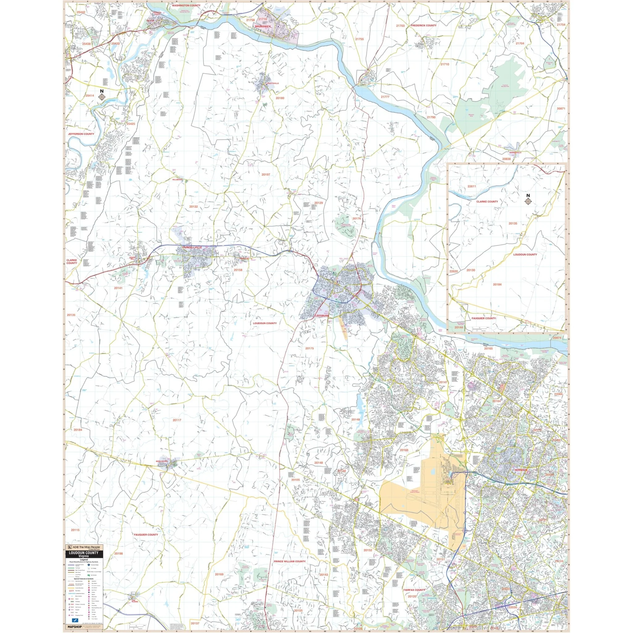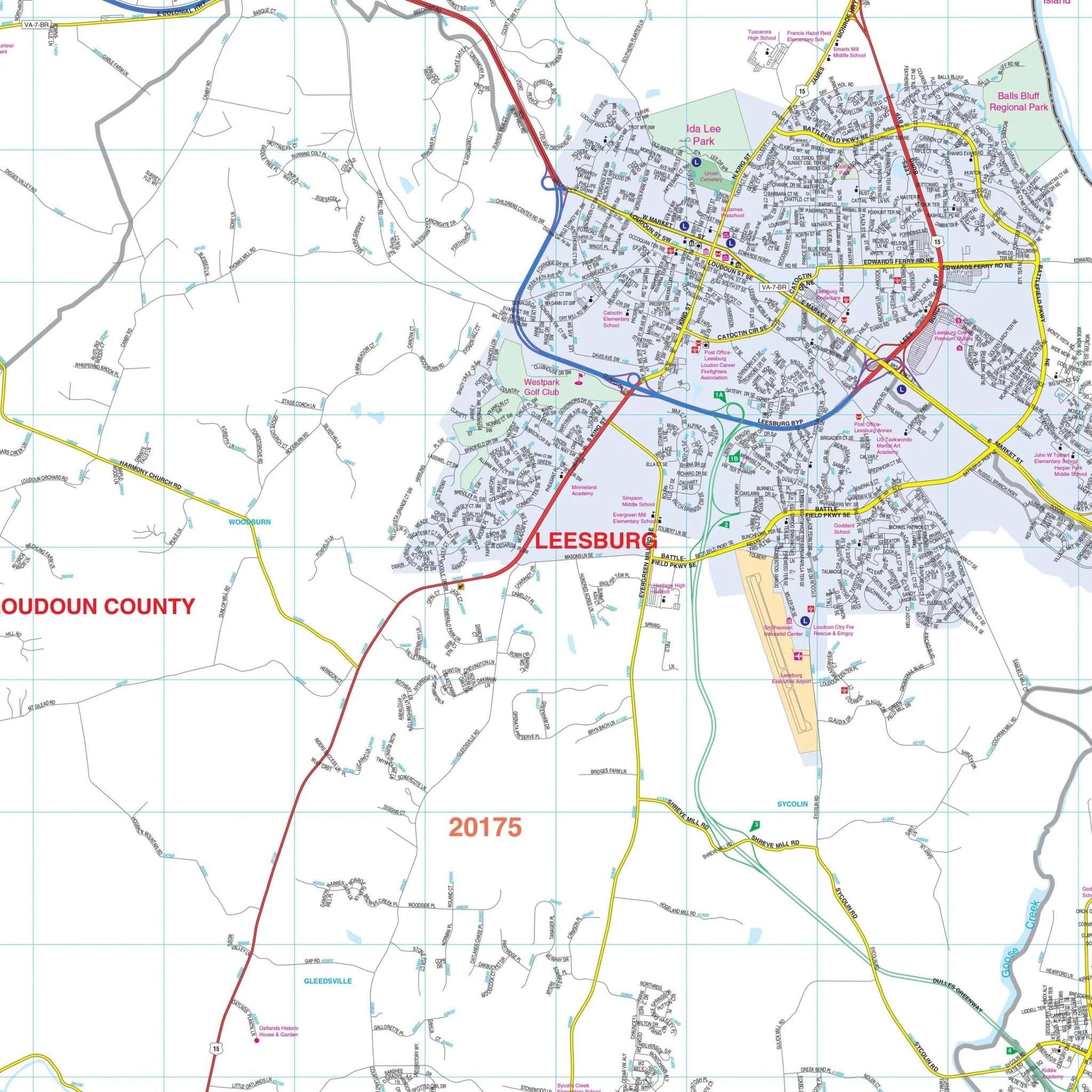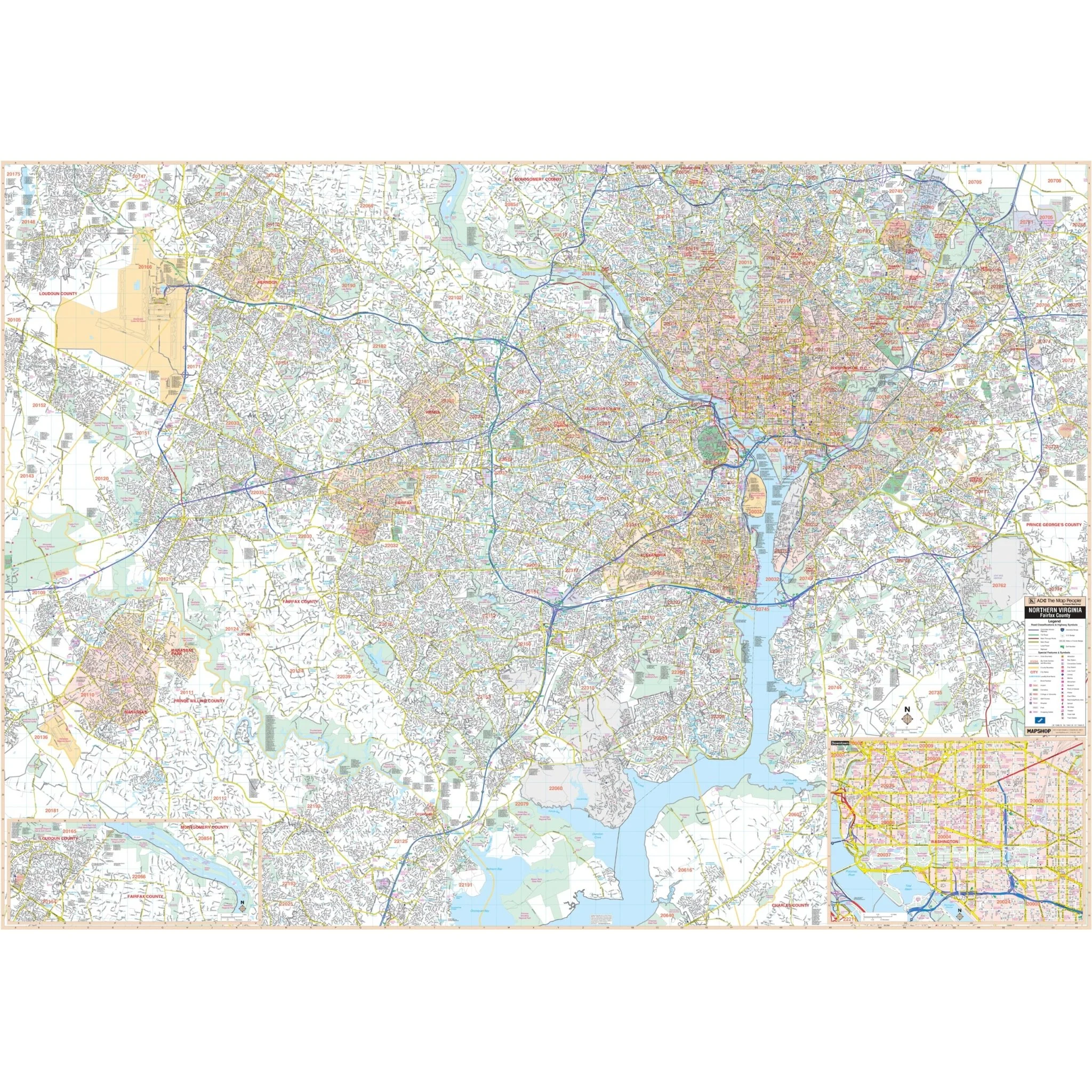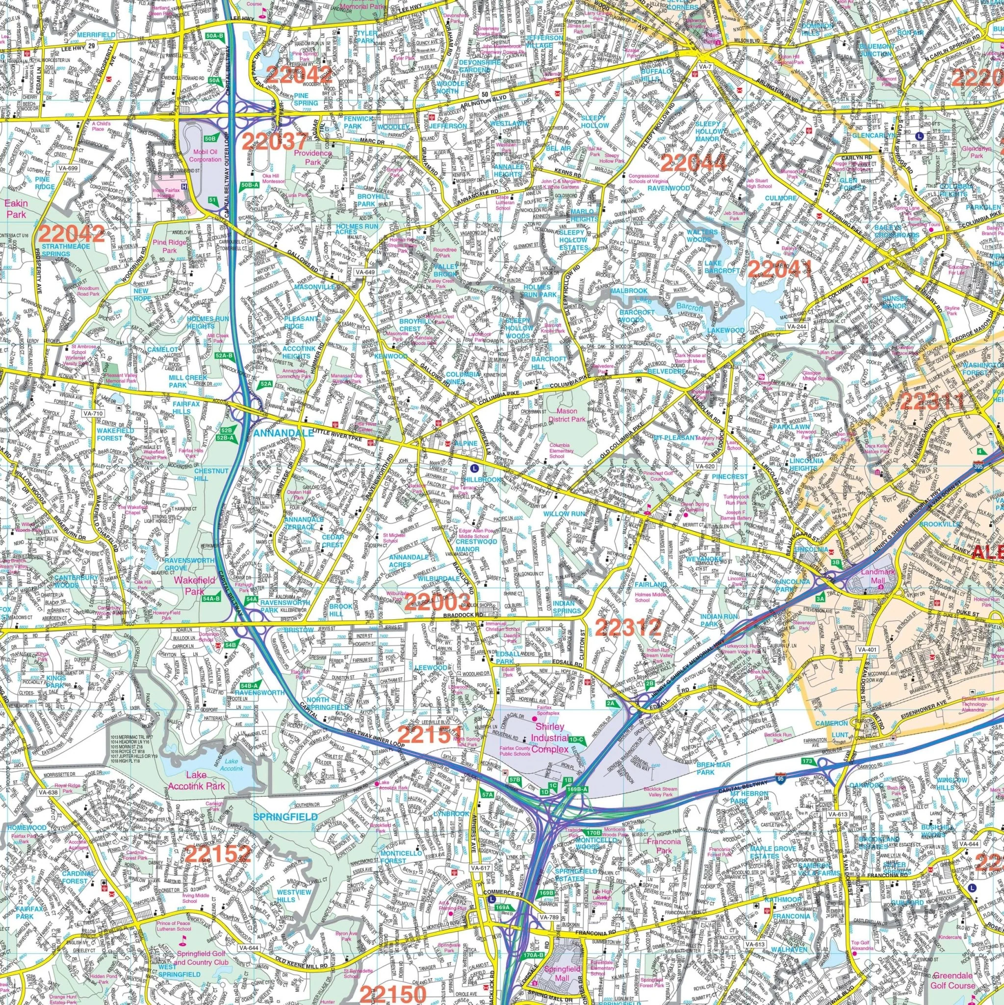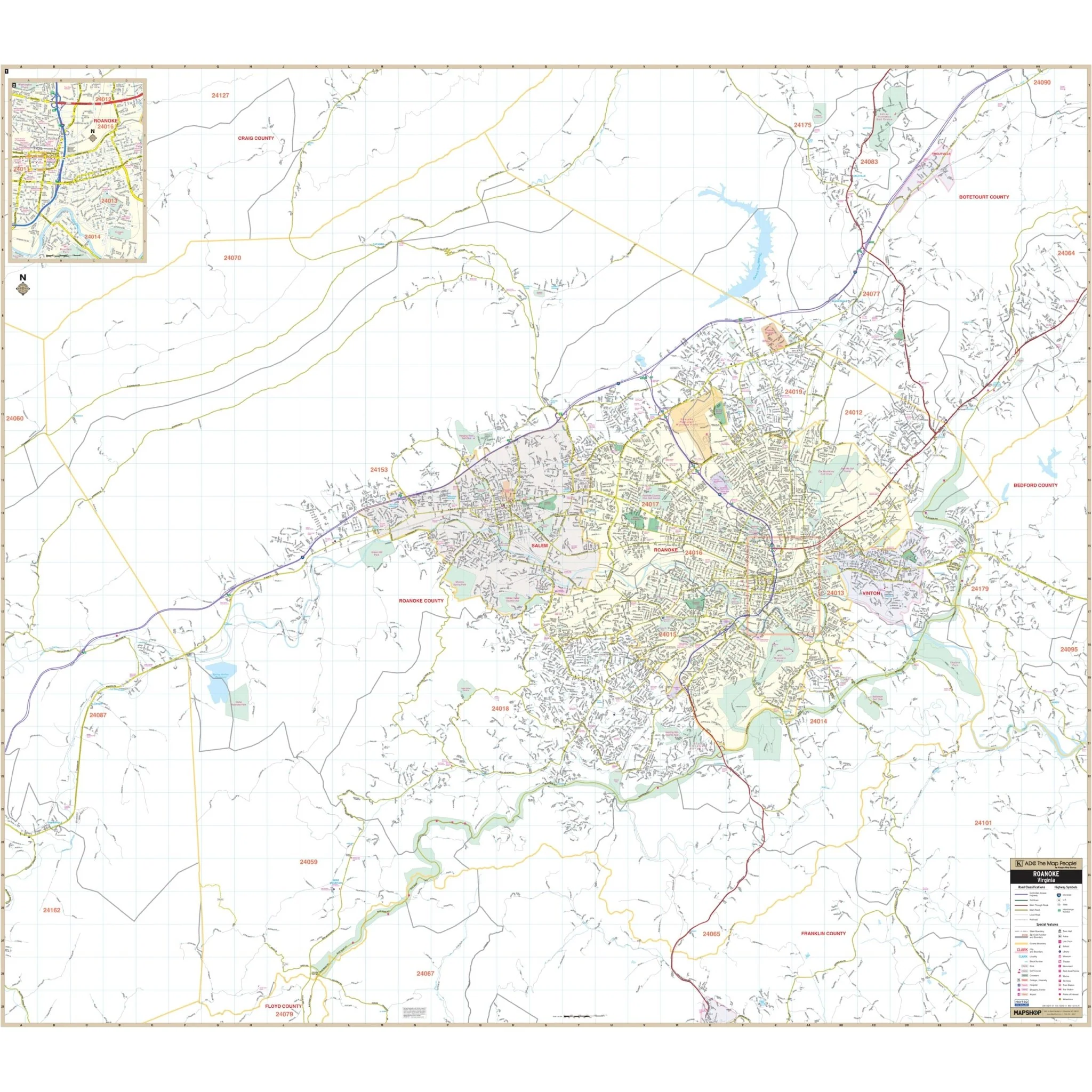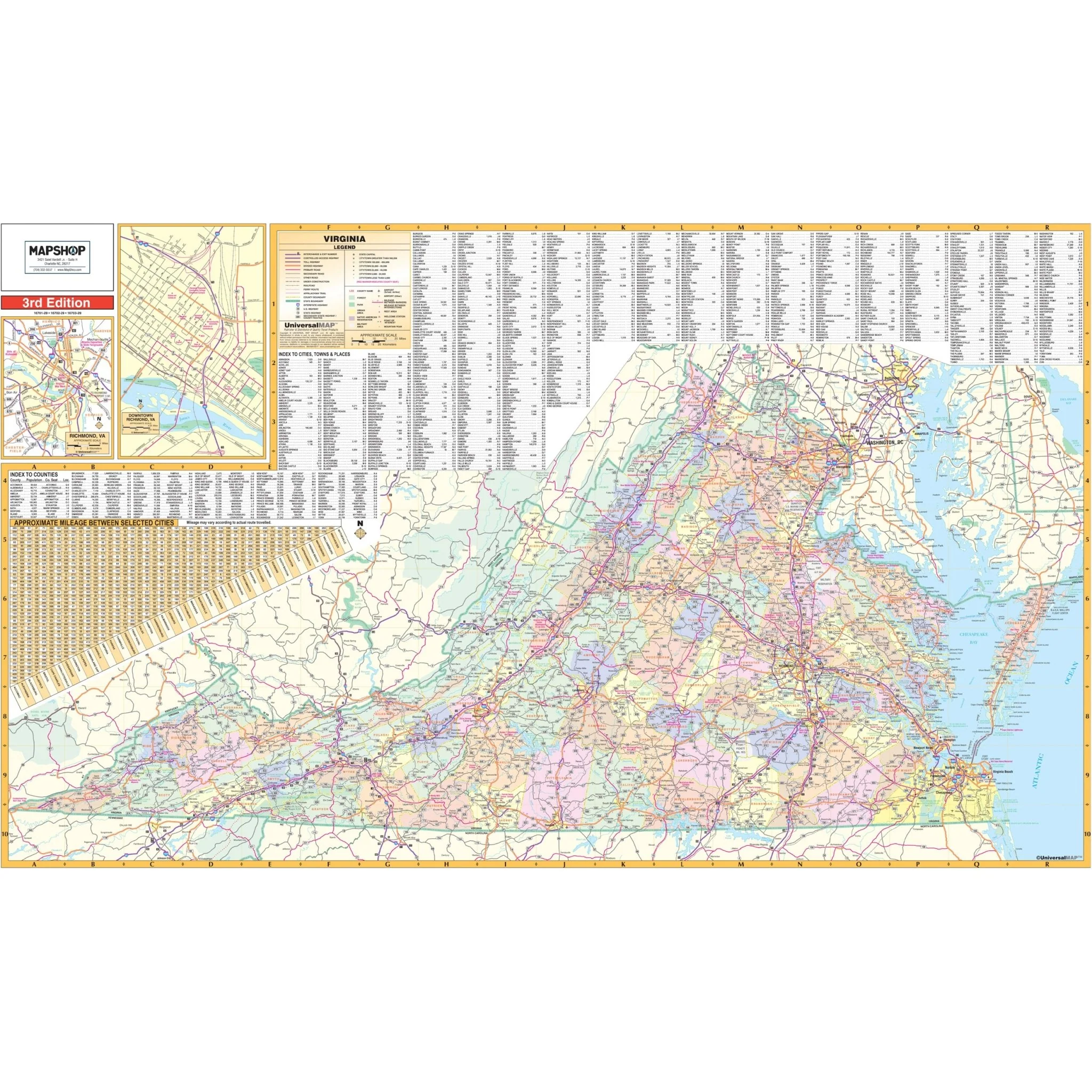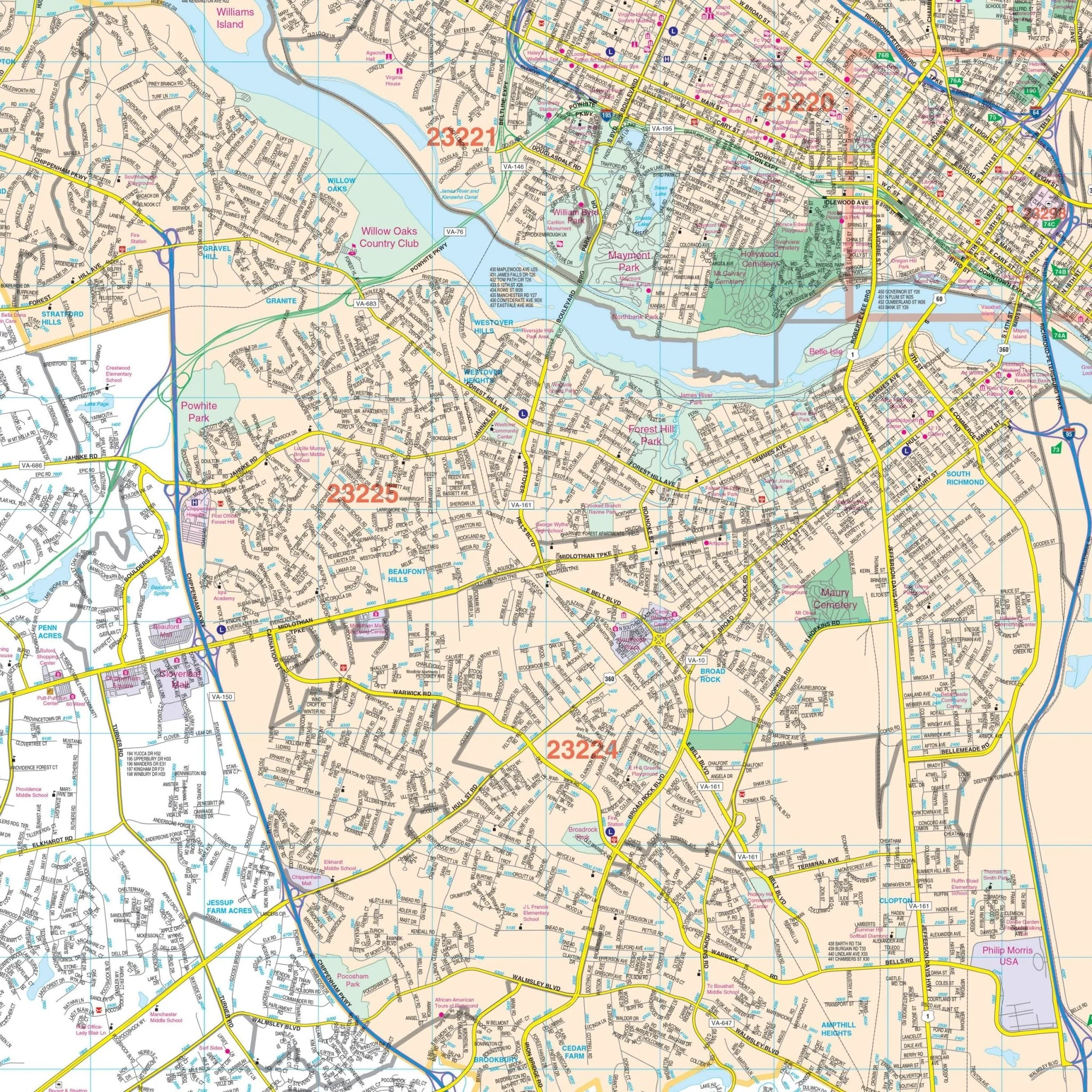


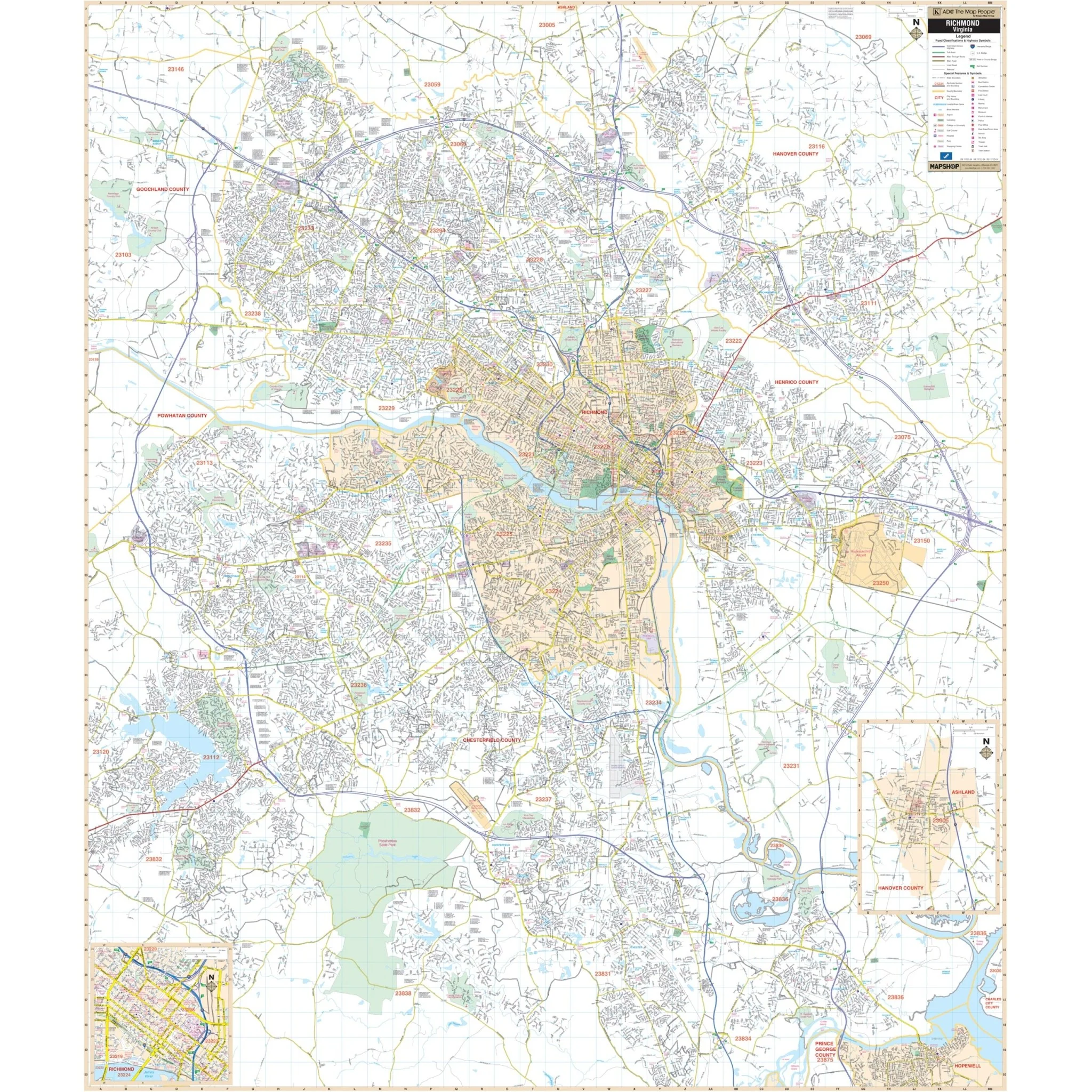

Richmond, VA Wall Map
The Richmond, VA Wall Map covers an extensive area in complete street detail, including the following boundaries:
- North to the Hanover-Henrico County line and Hanover County Municipal Airport
- South to Walthall Mill, at Exit 55 on the Richmond-Petersburg Turnpike
- East to the I-295 and I-64 interchange
- West to SR 288
This map also includes inset maps of Downtown Richmond and the City of Ashland.
Details and features include Airports, Block Numbers, Cemeteries, City Limits, Educational Institutions, Fire & Police Stations, Golf & Country Clubs, Government Buildings, Hospitals, Libraries, Points of Interest, Railroads, Recreational Parks, Shopping Centers, Streets & Highways, Water Features, and ZIP Codes.
Size: 54" x 63.5"
Published: 2014
Original: $139.99
-70%$139.99
$42.00Product Information
Product Information
Shipping & Returns
Shipping & Returns
Description
The Richmond, VA Wall Map covers an extensive area in complete street detail, including the following boundaries:
- North to the Hanover-Henrico County line and Hanover County Municipal Airport
- South to Walthall Mill, at Exit 55 on the Richmond-Petersburg Turnpike
- East to the I-295 and I-64 interchange
- West to SR 288
This map also includes inset maps of Downtown Richmond and the City of Ashland.
Details and features include Airports, Block Numbers, Cemeteries, City Limits, Educational Institutions, Fire & Police Stations, Golf & Country Clubs, Government Buildings, Hospitals, Libraries, Points of Interest, Railroads, Recreational Parks, Shopping Centers, Streets & Highways, Water Features, and ZIP Codes.
Size: 54" x 63.5"
Published: 2014