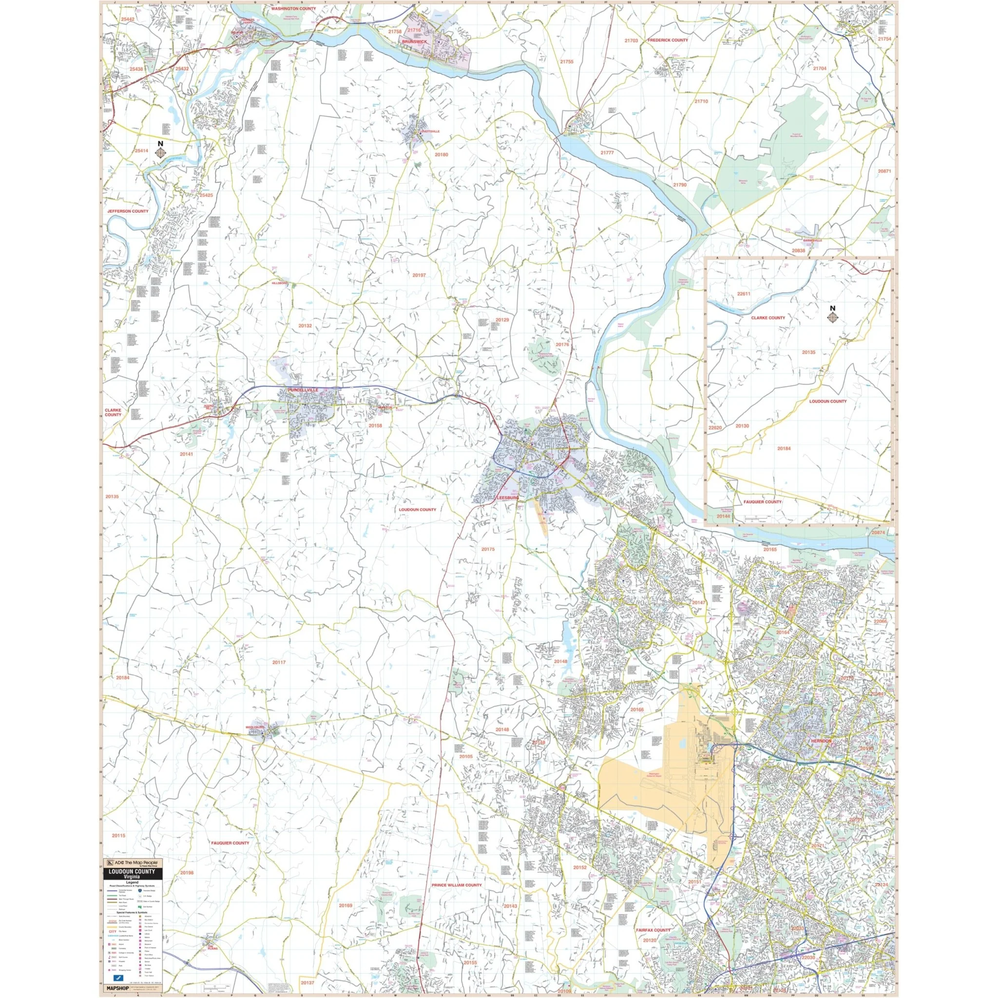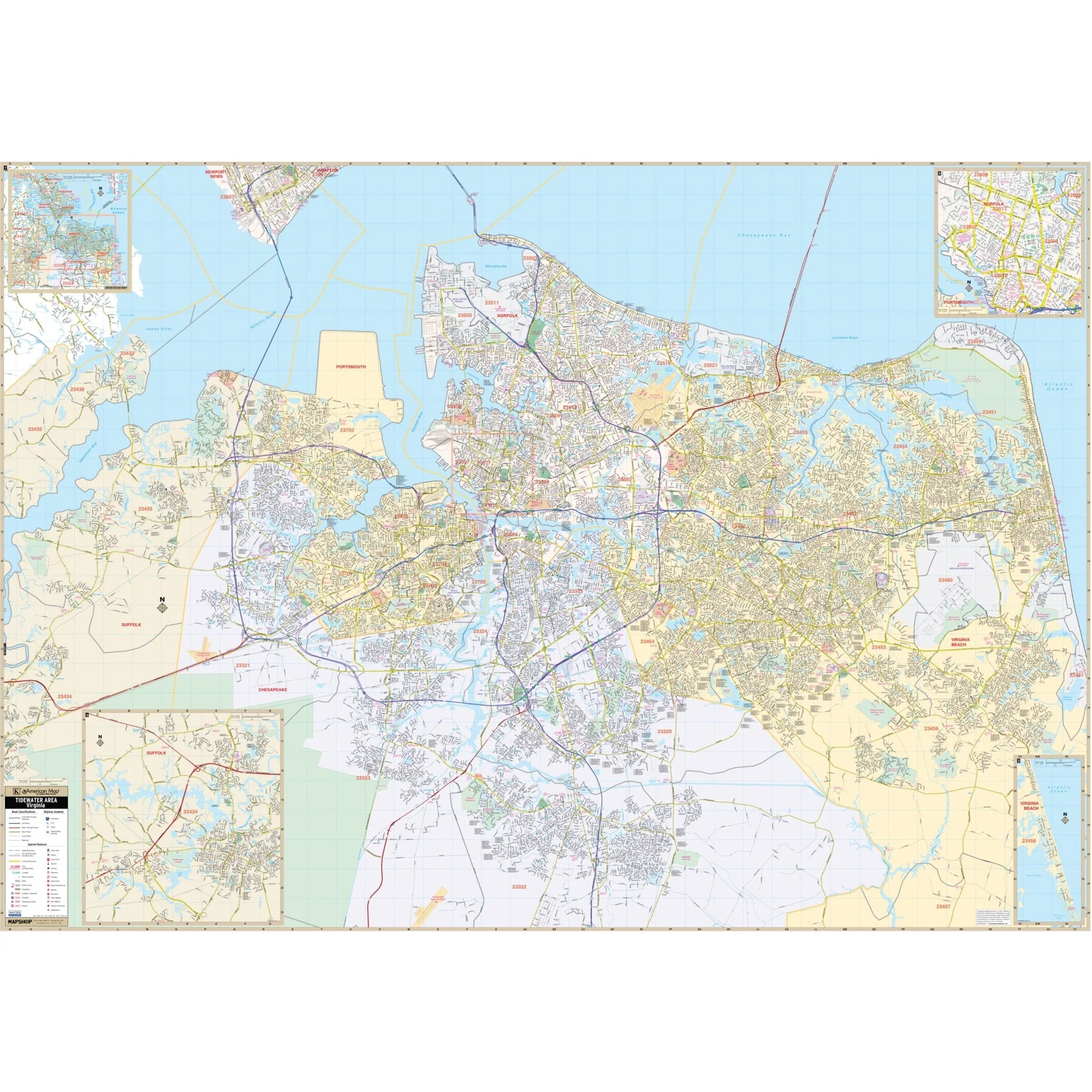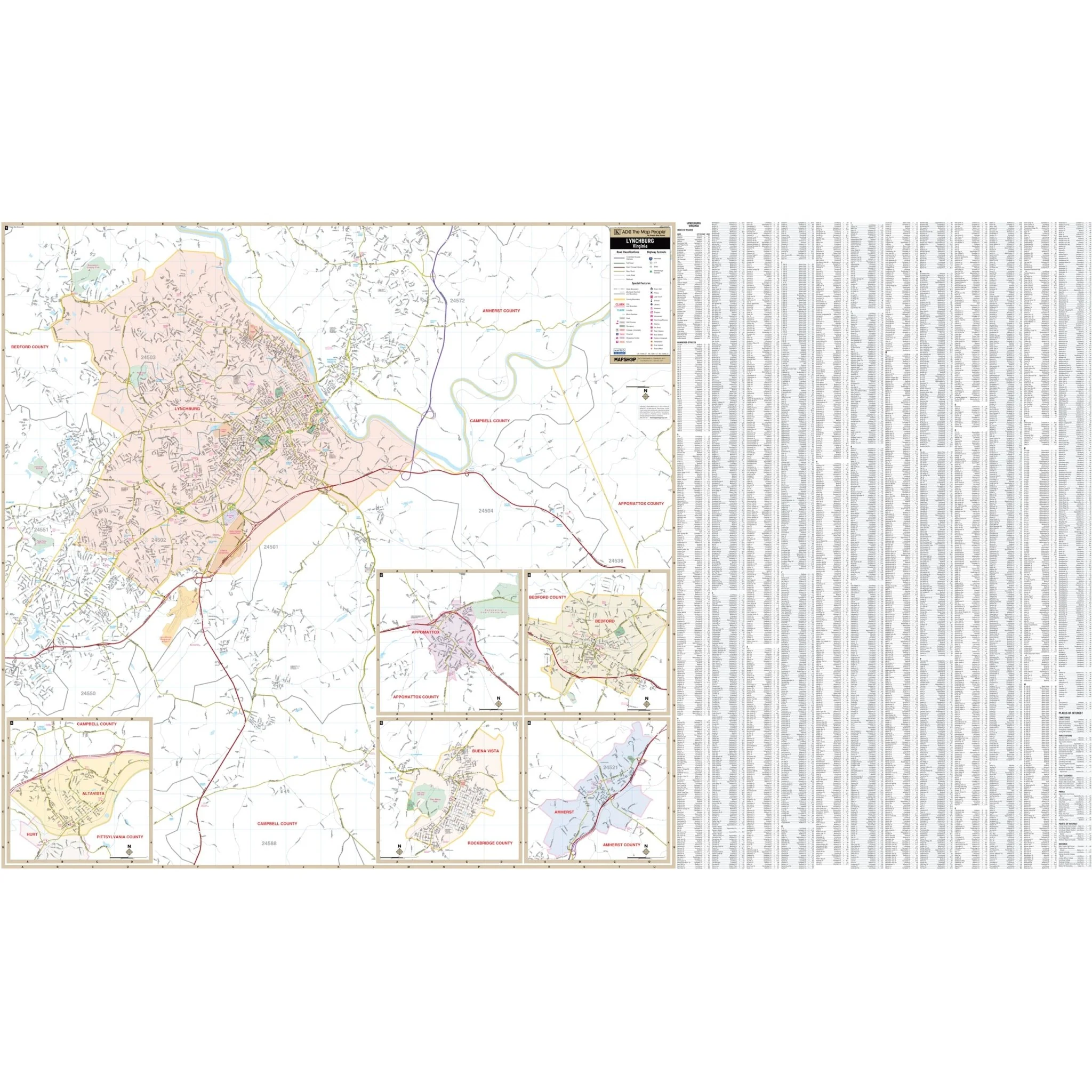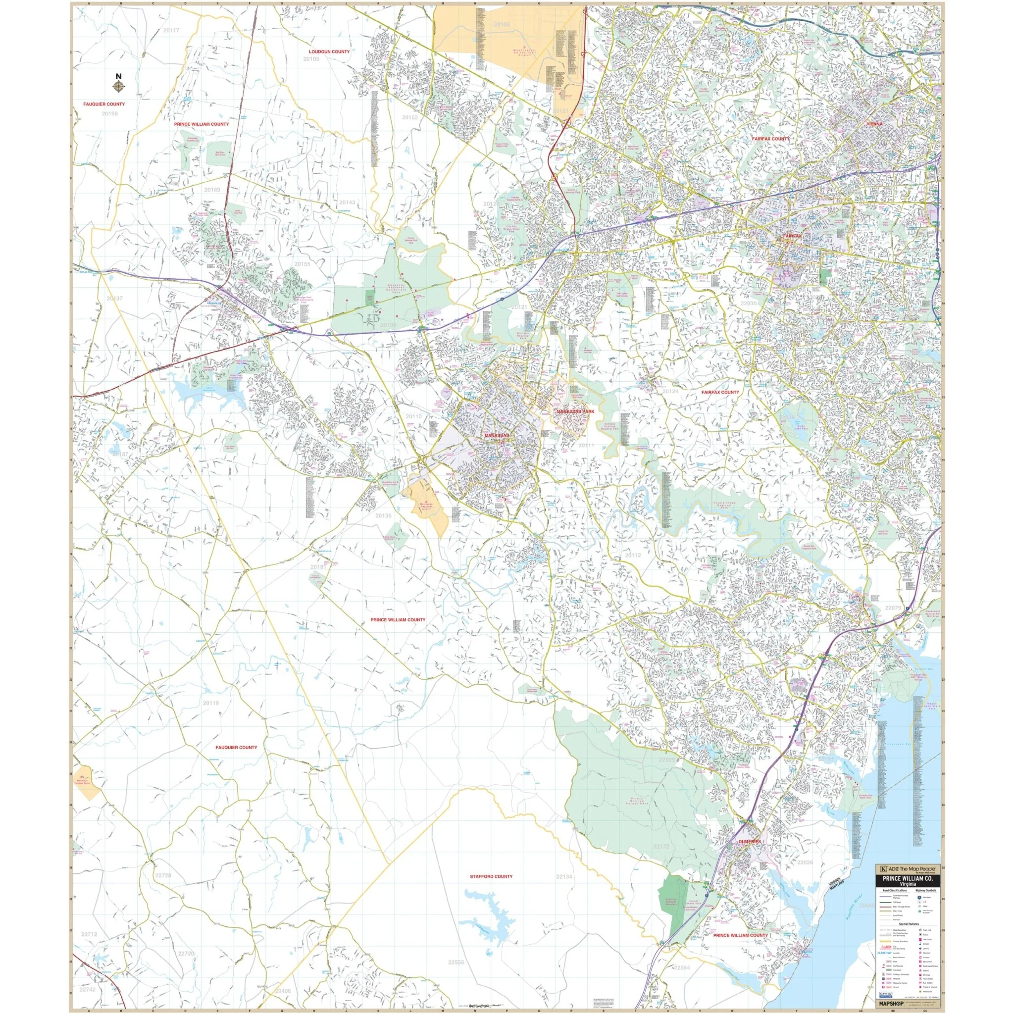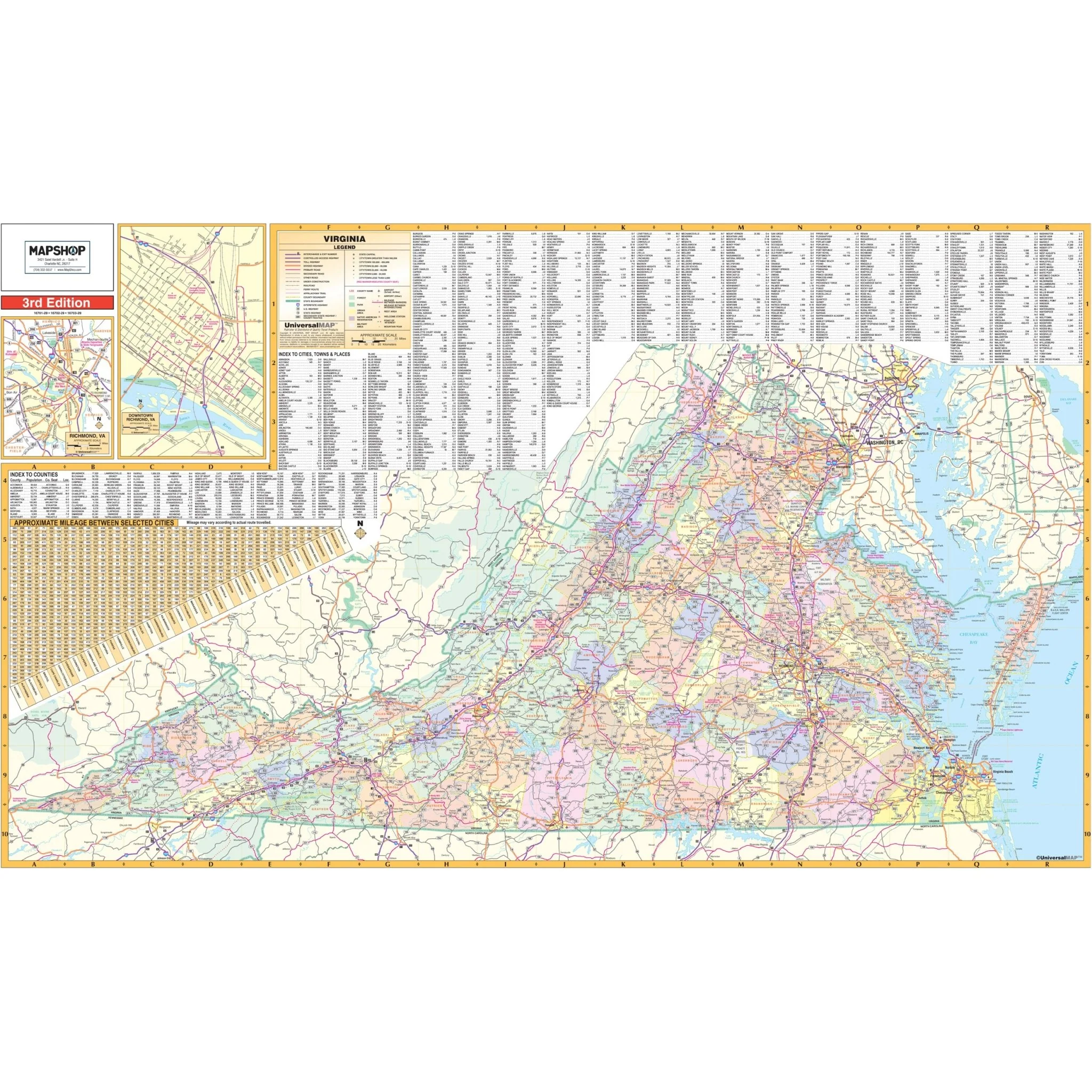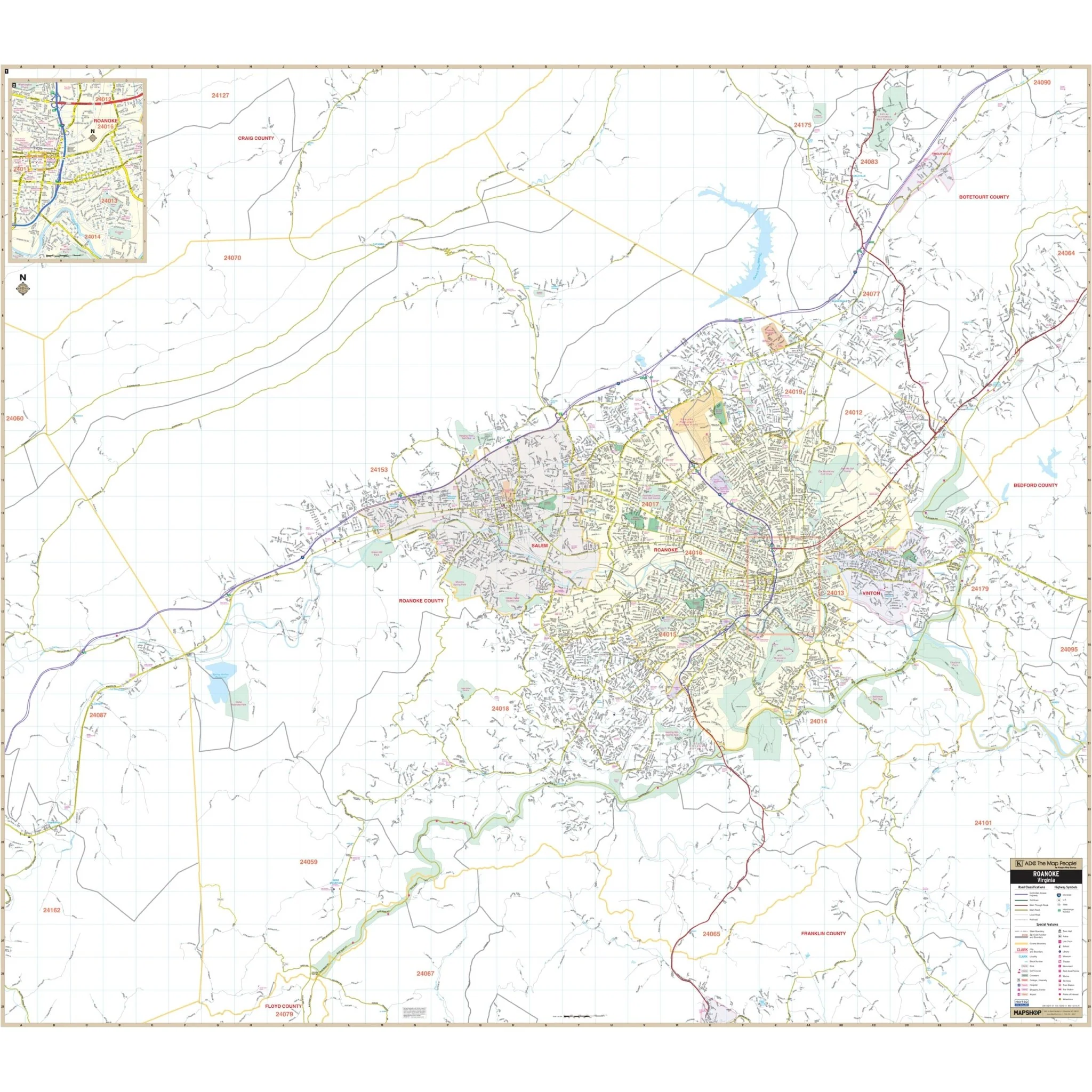
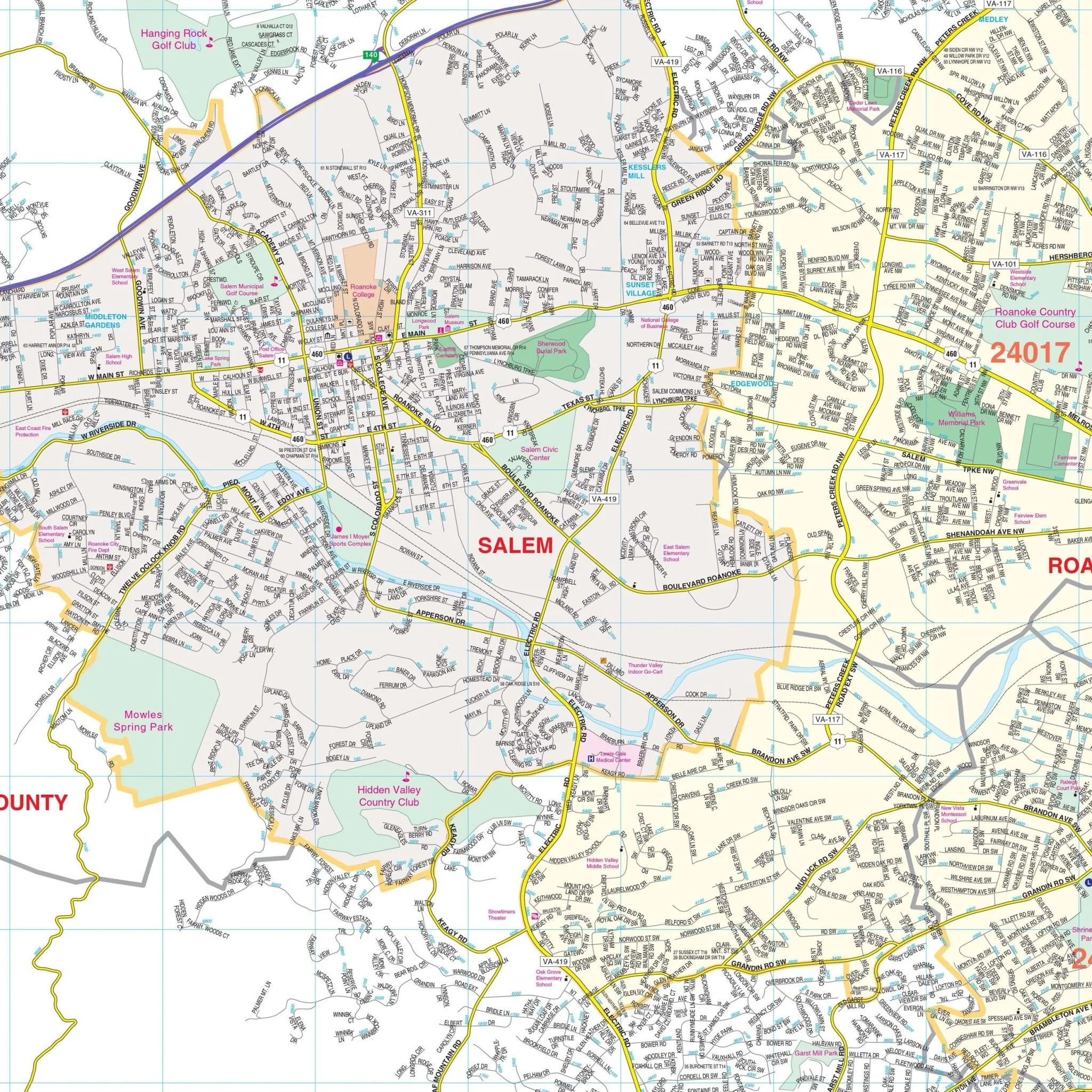


Roanoke & Salem, VA Wall Map
The Roanoke & Salem, VA Wall Map covers an extensive area in complete street detail at a scale of 1" = 2083', including the following boundaries:
- North: to Ashley Plantation Golf Course & Troutville in Botetourt County
- South: to the Franklin/Floyd County Line
- East: into Bedford County where Hardy Road crosses the Roanoke River
- West: past the Montgomery & Craig County lines to include Shawsville
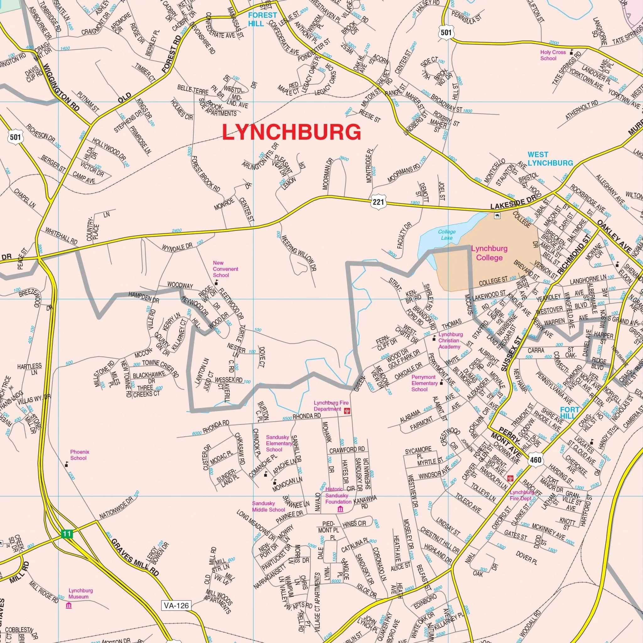
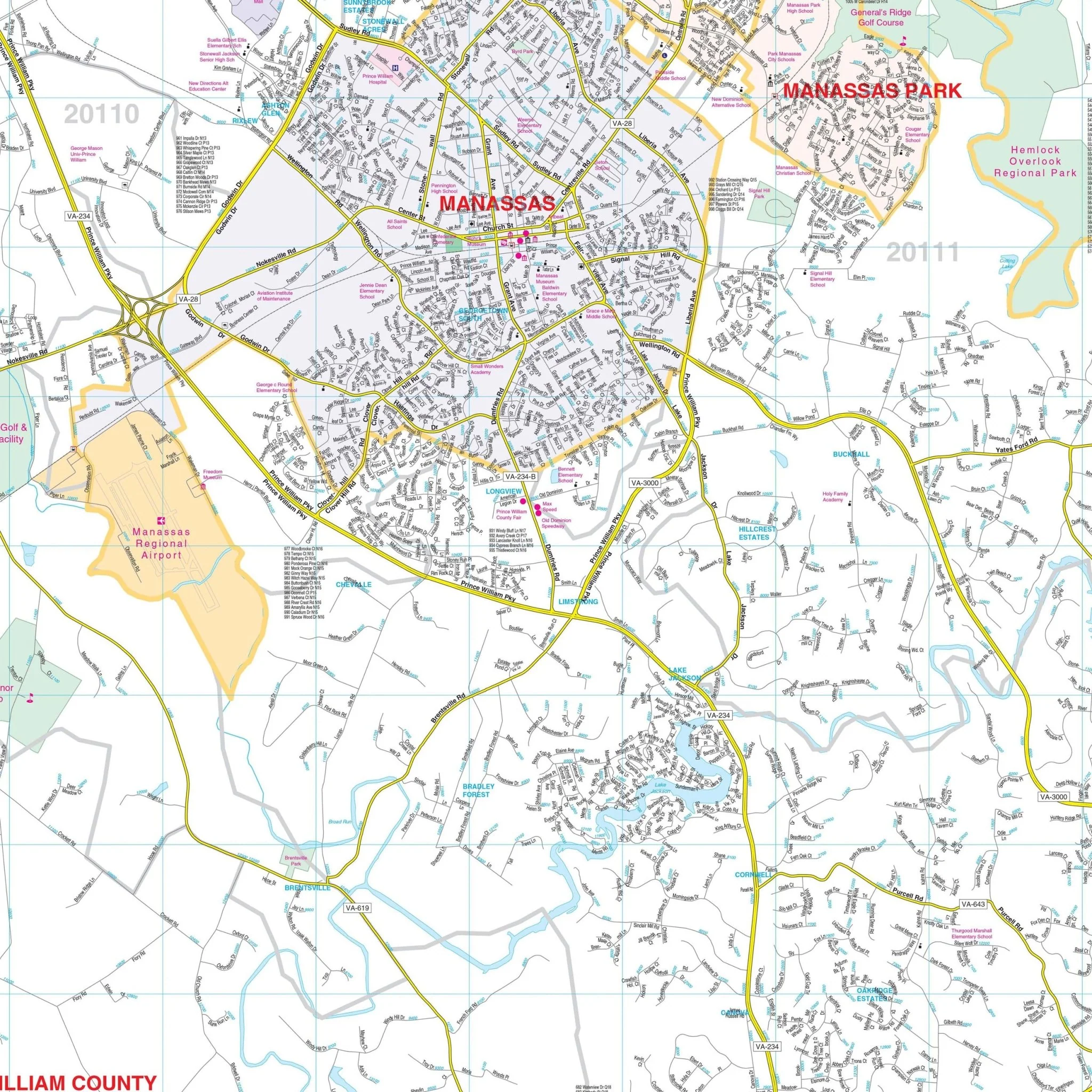
This map also includes an inset map of Downtown Roanoke.
Details and features include Airports, Cemeteries, City Limits, Annexations, Block Numbers, Educational Institutions, Golf & Country Clubs, Government Buildings, Hospitals, Points of Interest, Police Stations, Post Offices, Railroads, Recreational Parks, Shopping Centers, Streets & Highways, Water Features, and ZIP Code Boundaries.
Size: 64.5" x 57"
Published: 2009
Original: $149.99
-70%$149.99
$45.00Product Information
Product Information
Shipping & Returns
Shipping & Returns
Description
The Roanoke & Salem, VA Wall Map covers an extensive area in complete street detail at a scale of 1" = 2083', including the following boundaries:
- North: to Ashley Plantation Golf Course & Troutville in Botetourt County
- South: to the Franklin/Floyd County Line
- East: into Bedford County where Hardy Road crosses the Roanoke River
- West: past the Montgomery & Craig County lines to include Shawsville
This map also includes an inset map of Downtown Roanoke.
Details and features include Airports, Cemeteries, City Limits, Annexations, Block Numbers, Educational Institutions, Golf & Country Clubs, Government Buildings, Hospitals, Points of Interest, Police Stations, Post Offices, Railroads, Recreational Parks, Shopping Centers, Streets & Highways, Water Features, and ZIP Code Boundaries.
Size: 64.5" x 57"
Published: 2009