


Tidewater, VA Wall Map
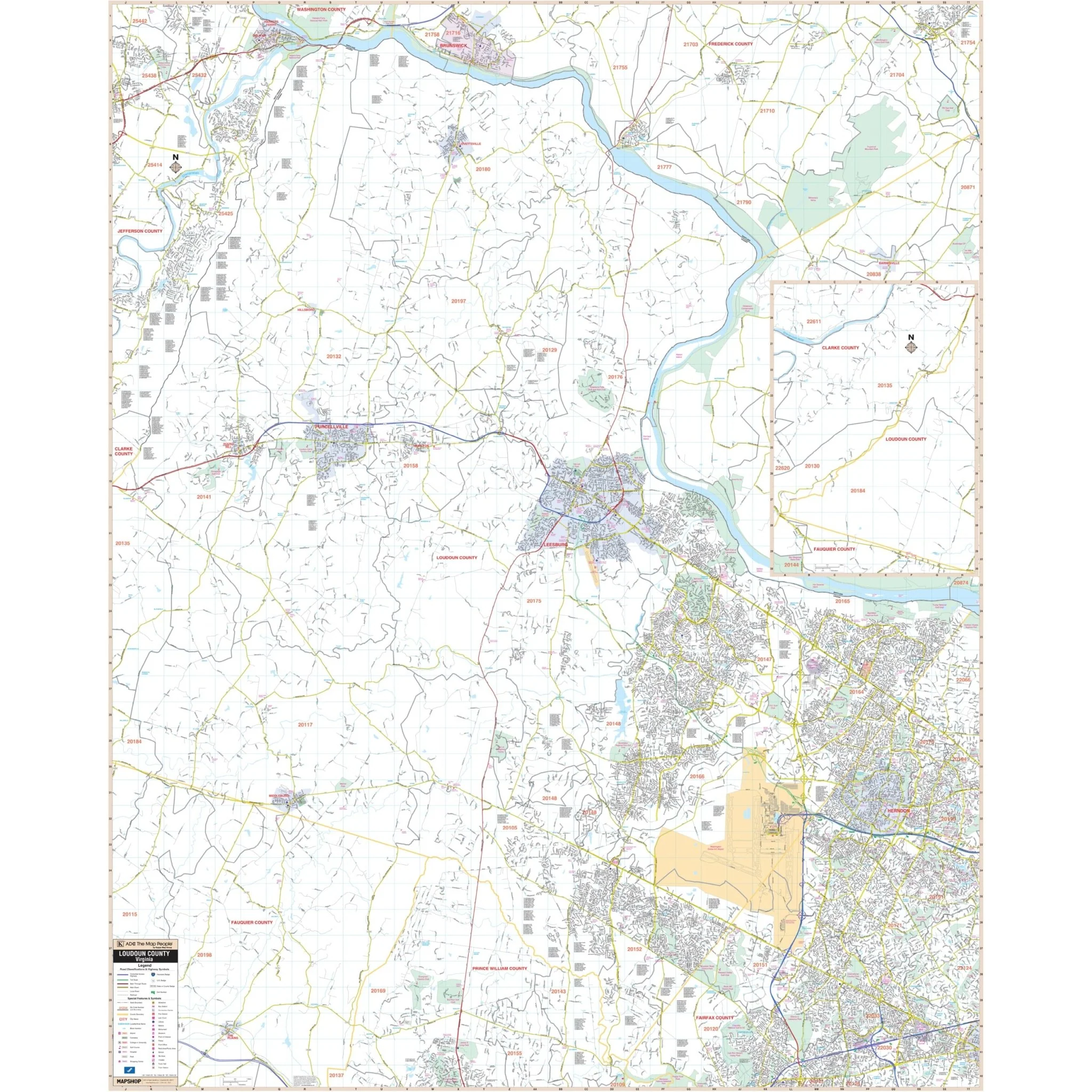
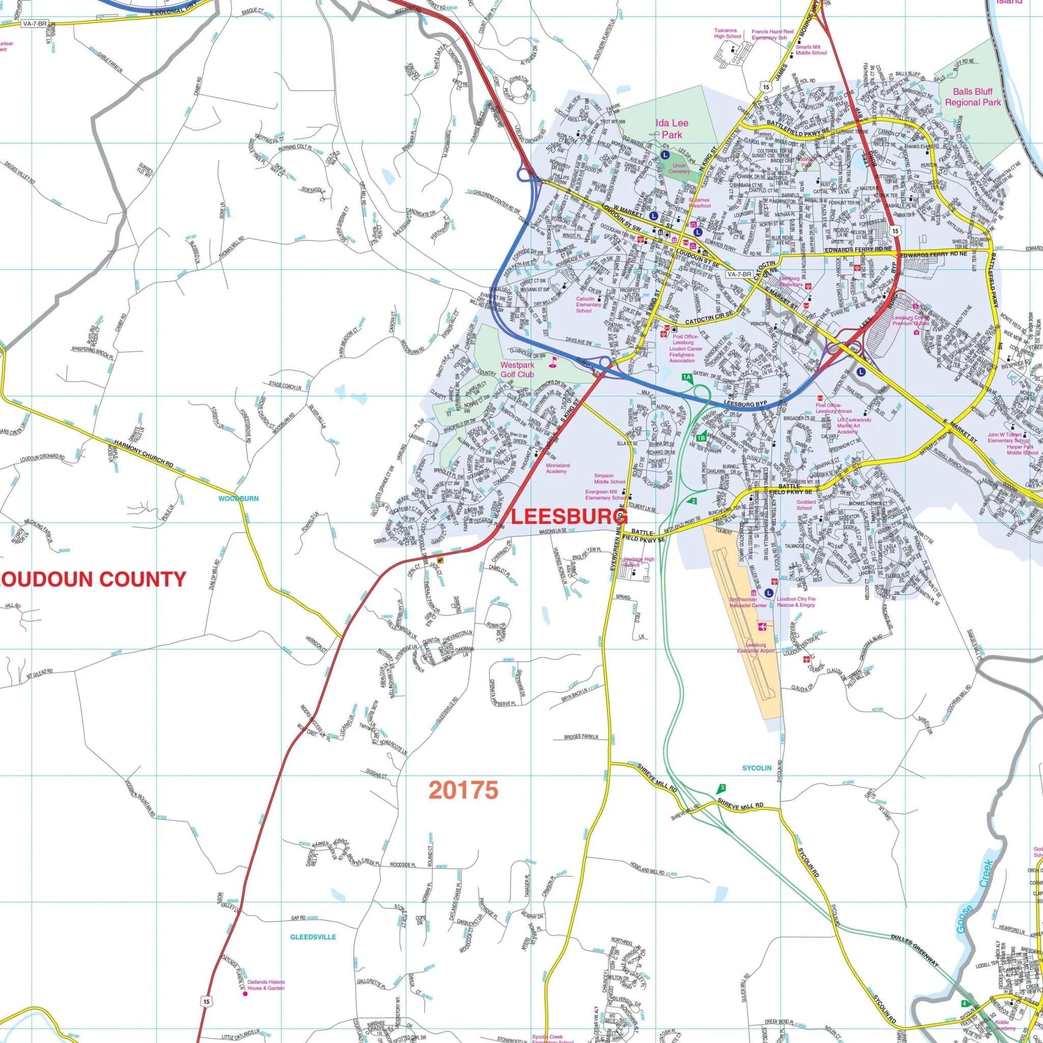
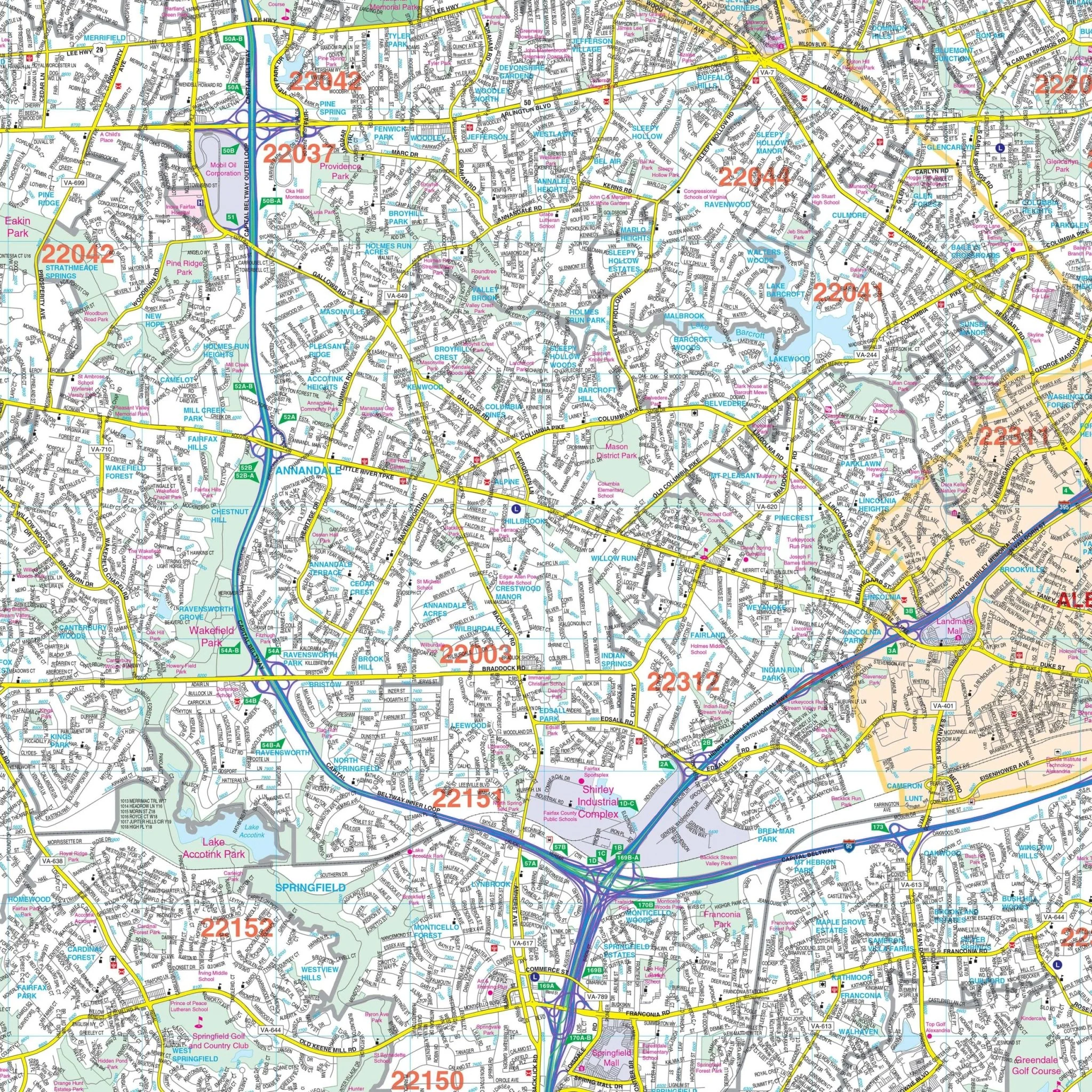
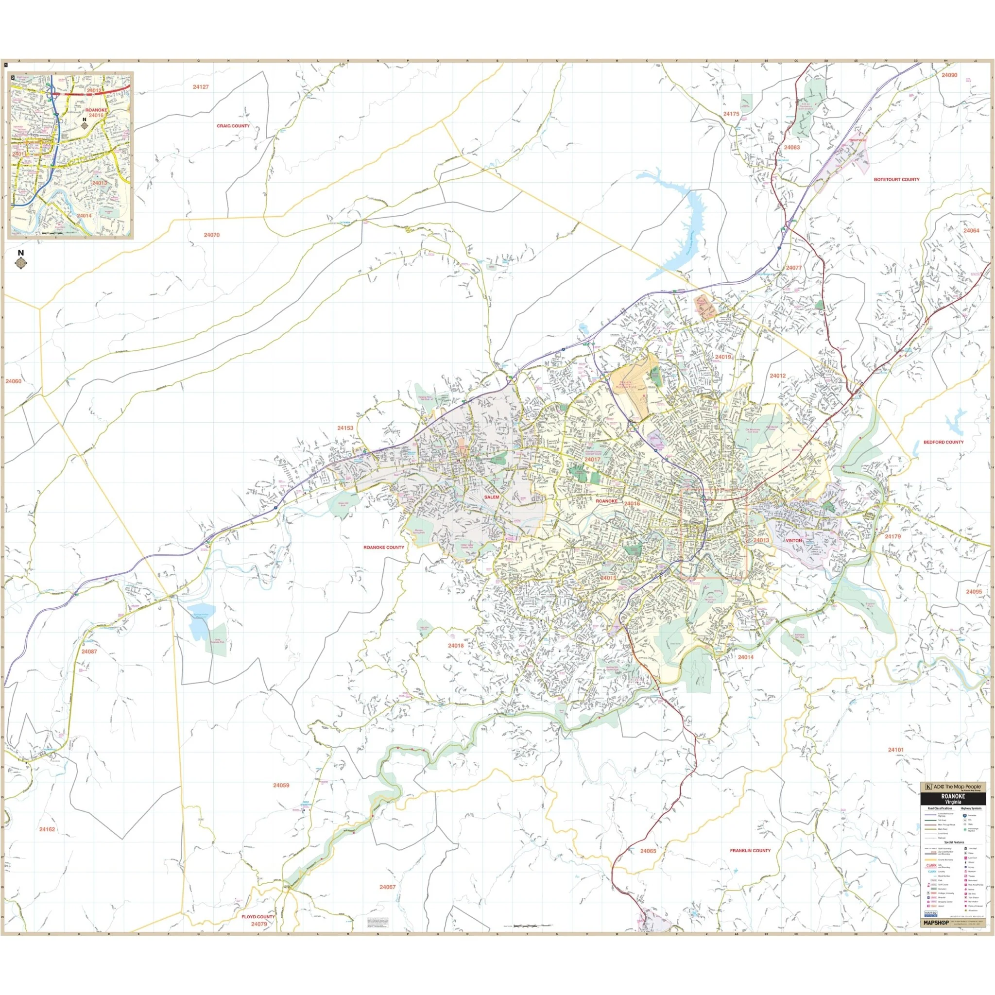
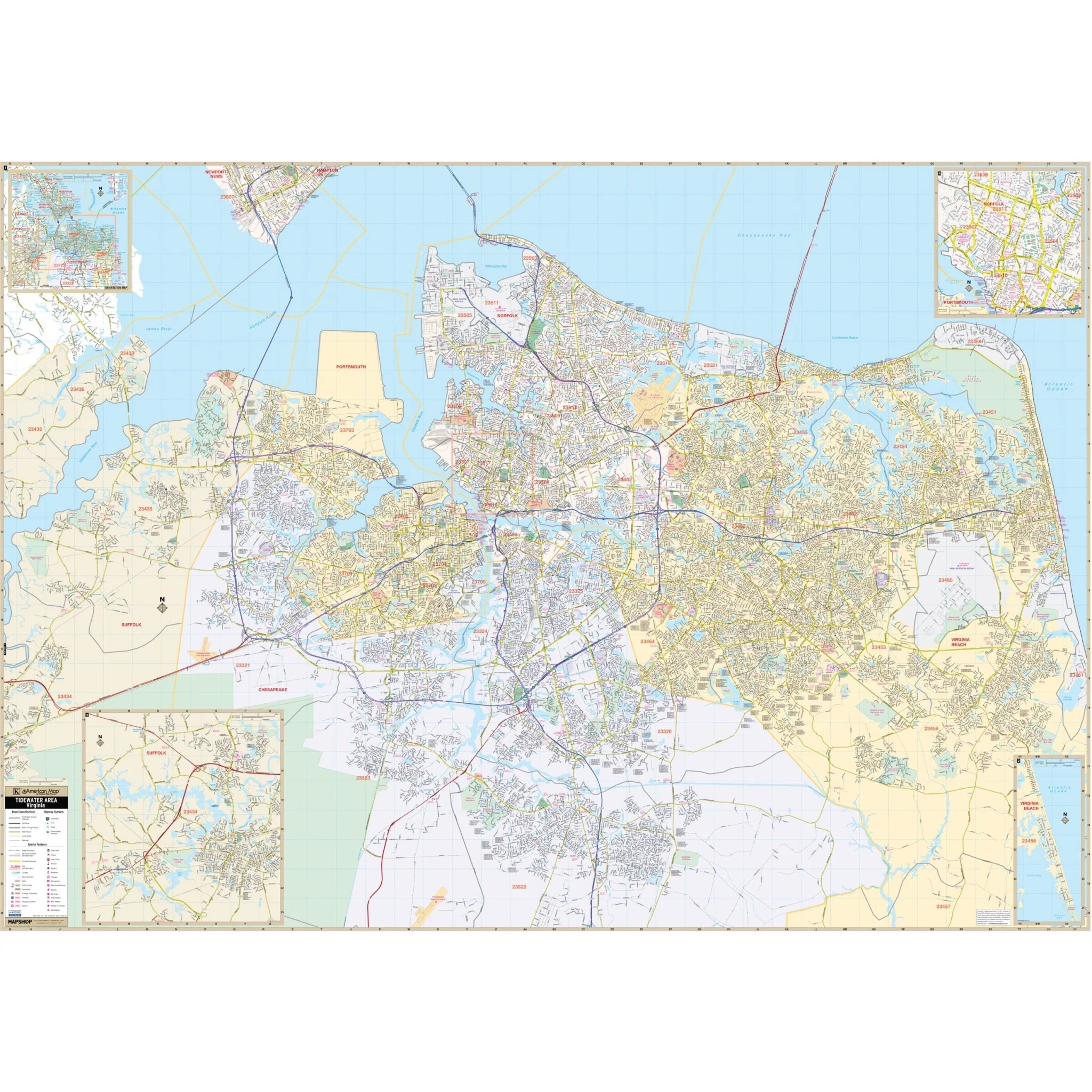
The Tidewater Area, VA Wall Map provides complete street detail at a scale of 1" = 2375'. The coverage area includes the following boundaries:
- North: Chesapeake Bay (ties to the map of the Virginia Peninsula)
- South: Communities of Fentress, Great Bridge, and the U.S. Naval Airfield (Fentress Station)
- East: Atlantic Ocean
- West: Nansemond River
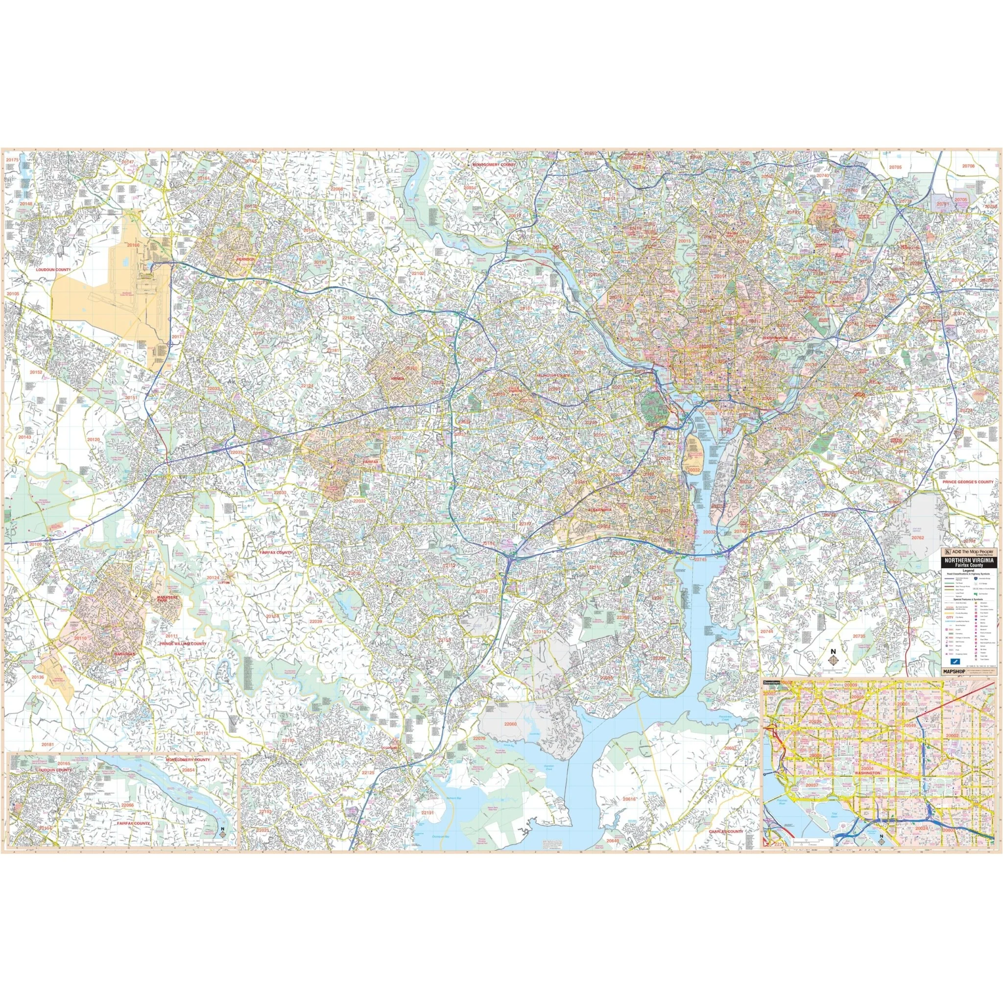
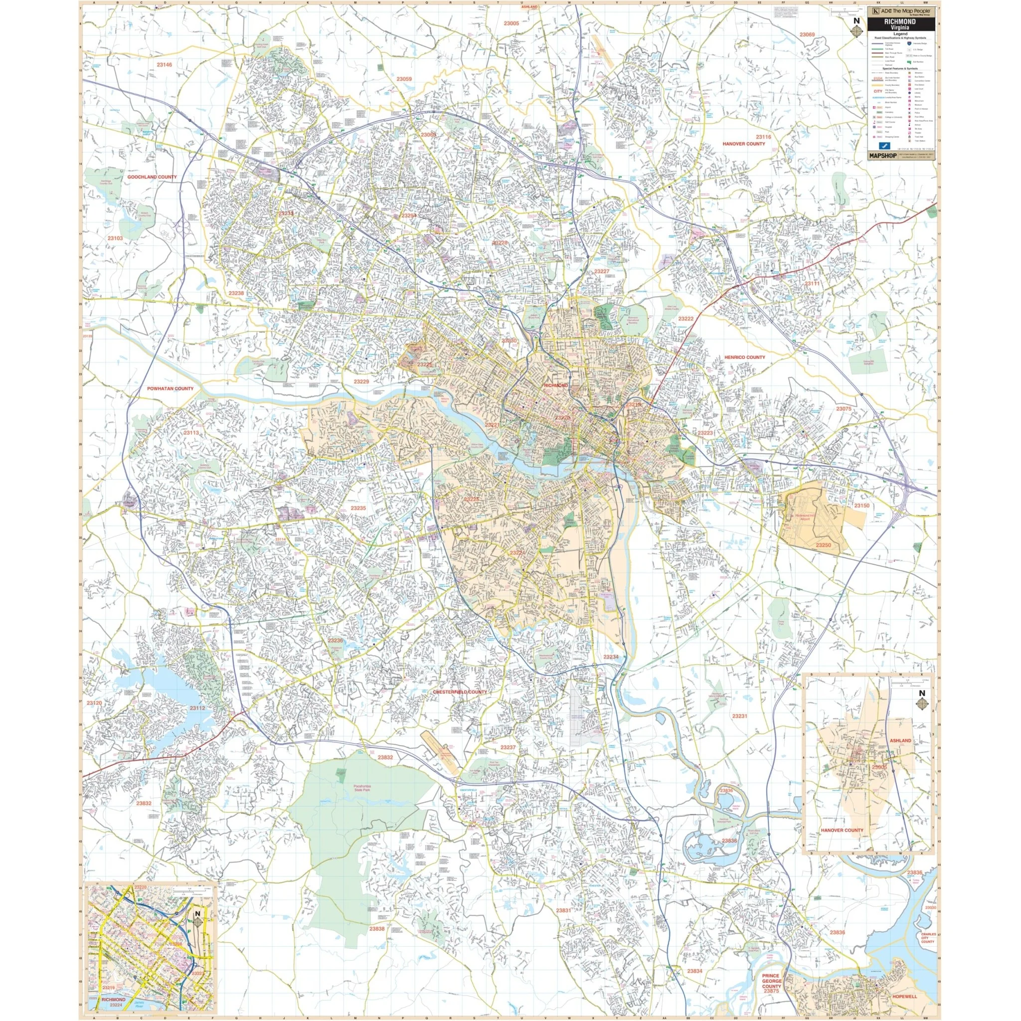
This map also features inset maps of Sandbridge, Sandbridge Beach, Downtown Norfolk, and the City of Suffolk.
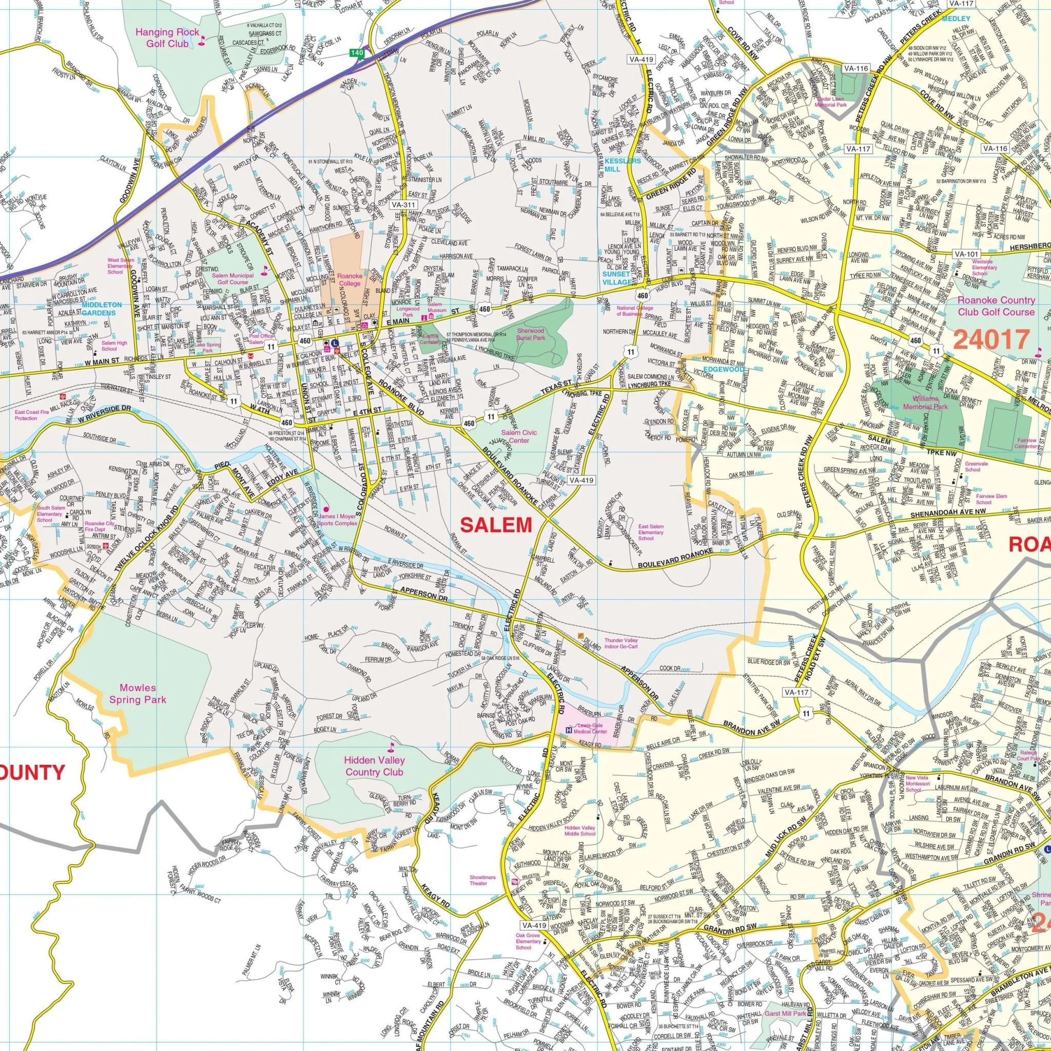
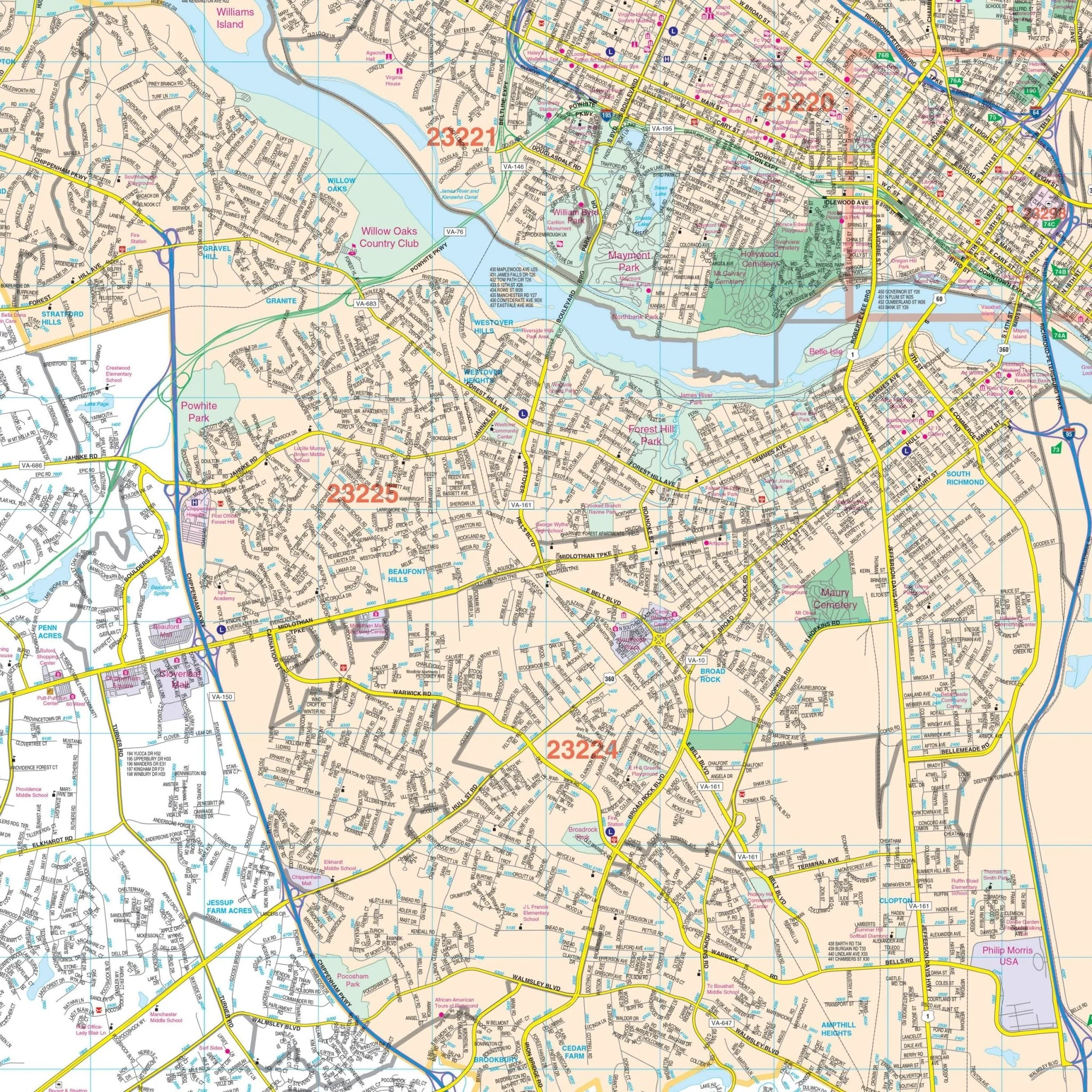
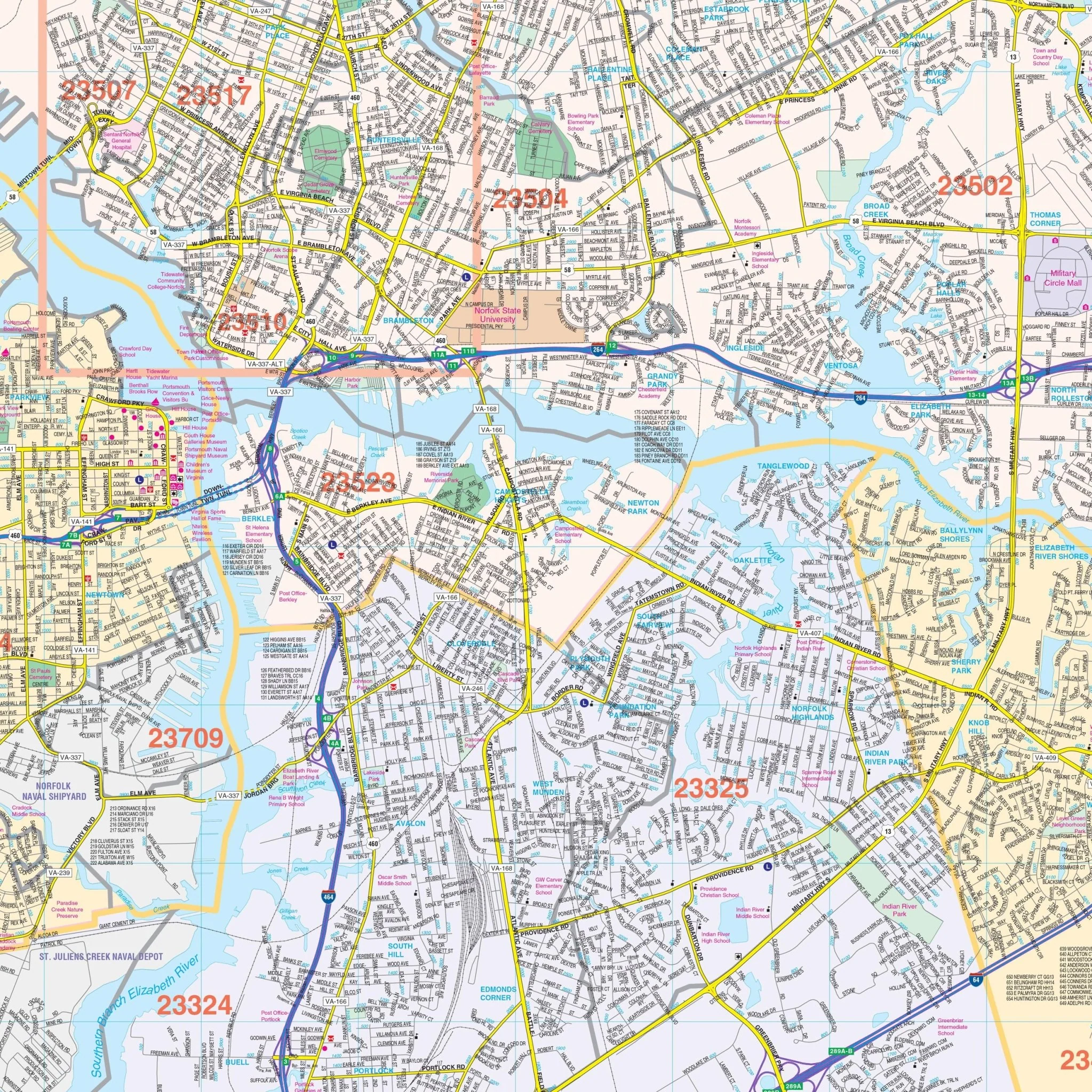
Details and features provided on this map include Airports, Block Numbers, Cemeteries, City Limits, Annexations, Educational Institutions, Fire & Police Stations, Golf & Country Clubs, Government Buildings, Hospitals, Libraries, Military Installations, Points of Interest, Railroads, Recreational Parks, Shopping Centers, Streets & Highways, Water Features, and ZIP Codes & Boundaries.
Size: 76" x 54"
Published: 2015
Original: $149.99
-70%$149.99
$45.00Product Information
Product Information
Shipping & Returns
Shipping & Returns
Description
The Tidewater Area, VA Wall Map provides complete street detail at a scale of 1" = 2375'. The coverage area includes the following boundaries:
- North: Chesapeake Bay (ties to the map of the Virginia Peninsula)
- South: Communities of Fentress, Great Bridge, and the U.S. Naval Airfield (Fentress Station)
- East: Atlantic Ocean
- West: Nansemond River
This map also features inset maps of Sandbridge, Sandbridge Beach, Downtown Norfolk, and the City of Suffolk.
Details and features provided on this map include Airports, Block Numbers, Cemeteries, City Limits, Annexations, Educational Institutions, Fire & Police Stations, Golf & Country Clubs, Government Buildings, Hospitals, Libraries, Military Installations, Points of Interest, Railroads, Recreational Parks, Shopping Centers, Streets & Highways, Water Features, and ZIP Codes & Boundaries.
Size: 76" x 54"
Published: 2015