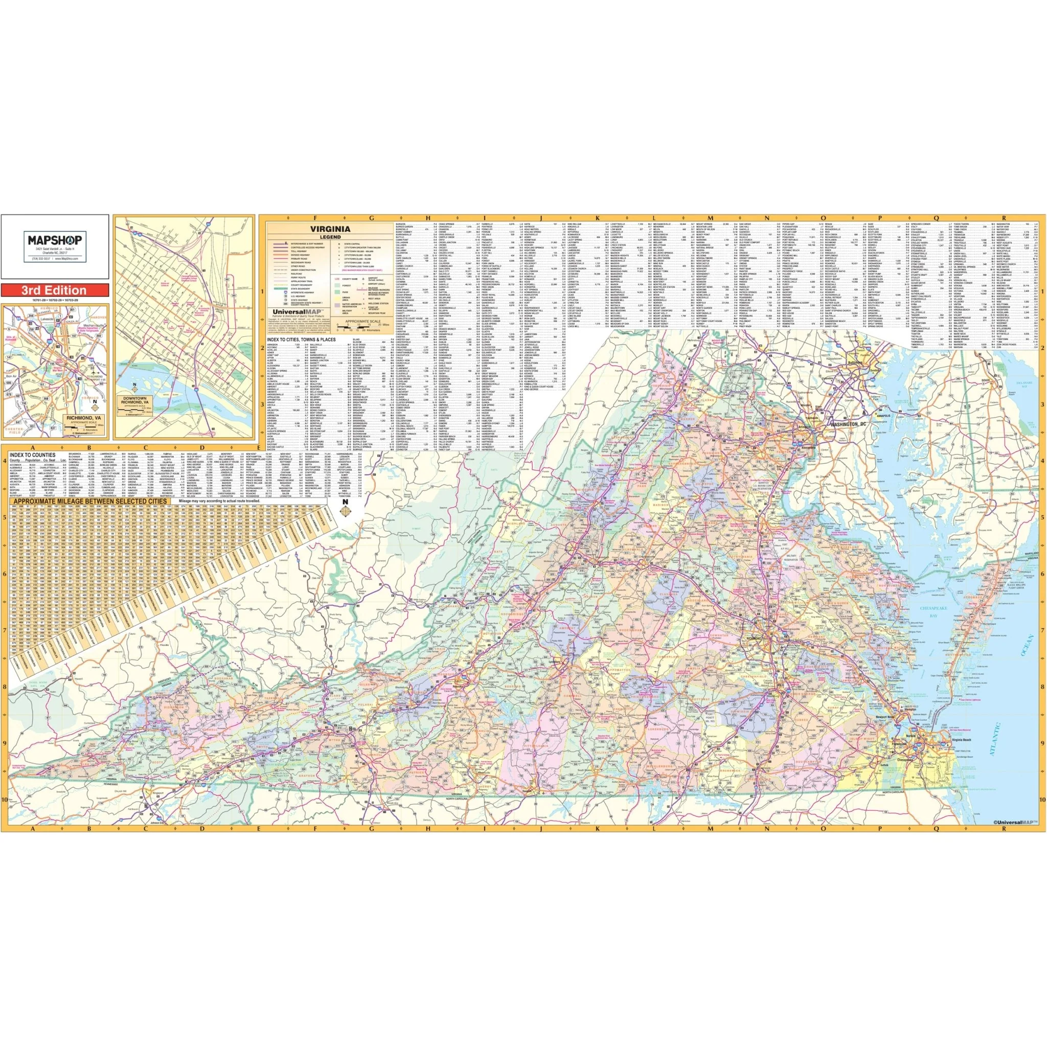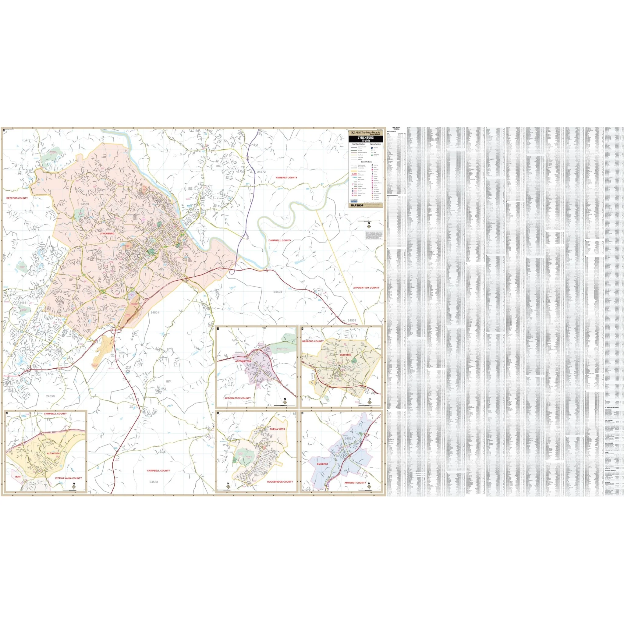
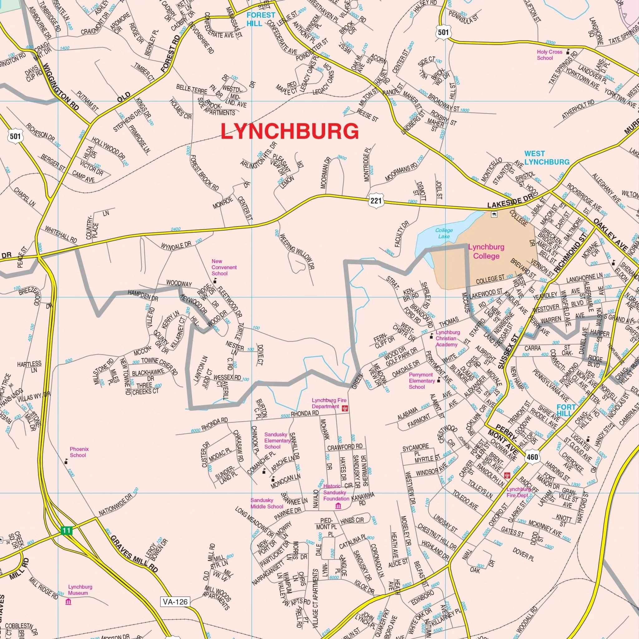


Lynchburg, VA Wall Map
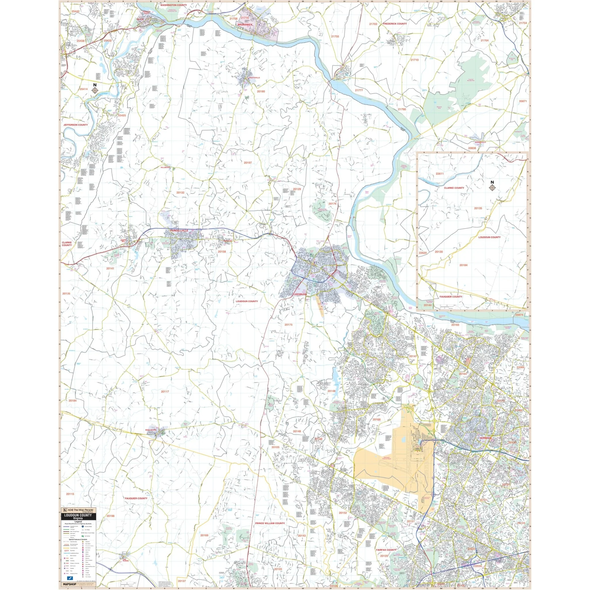
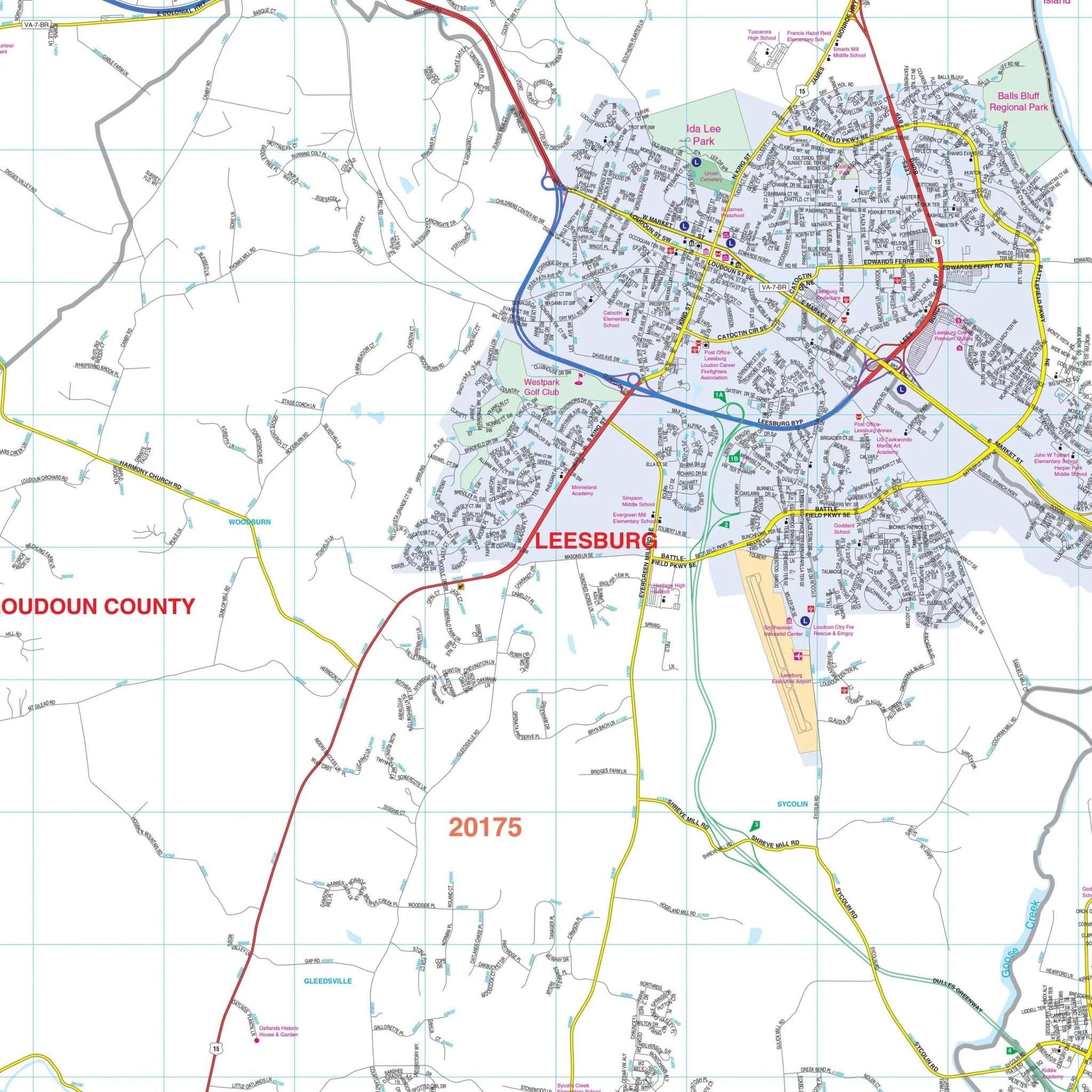
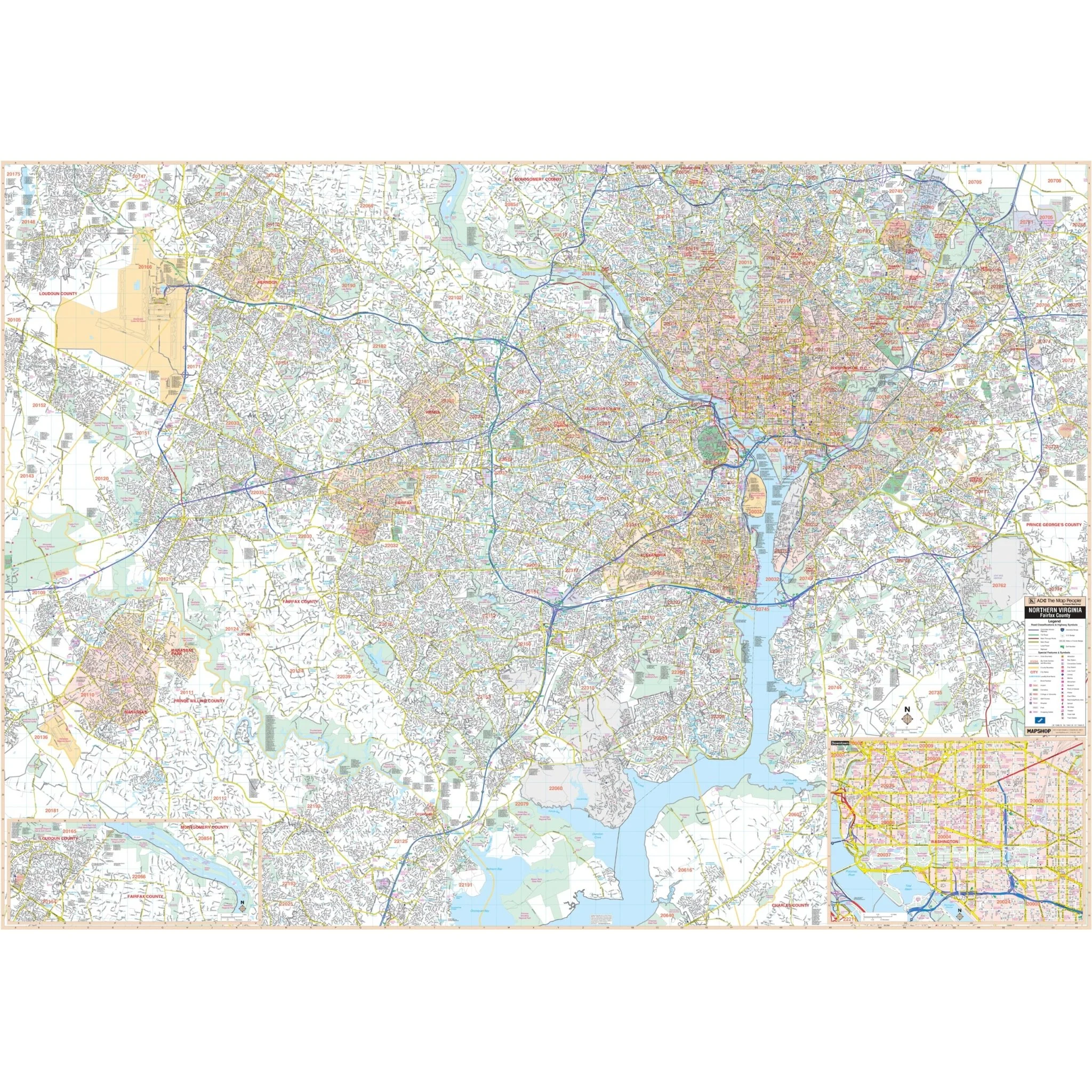
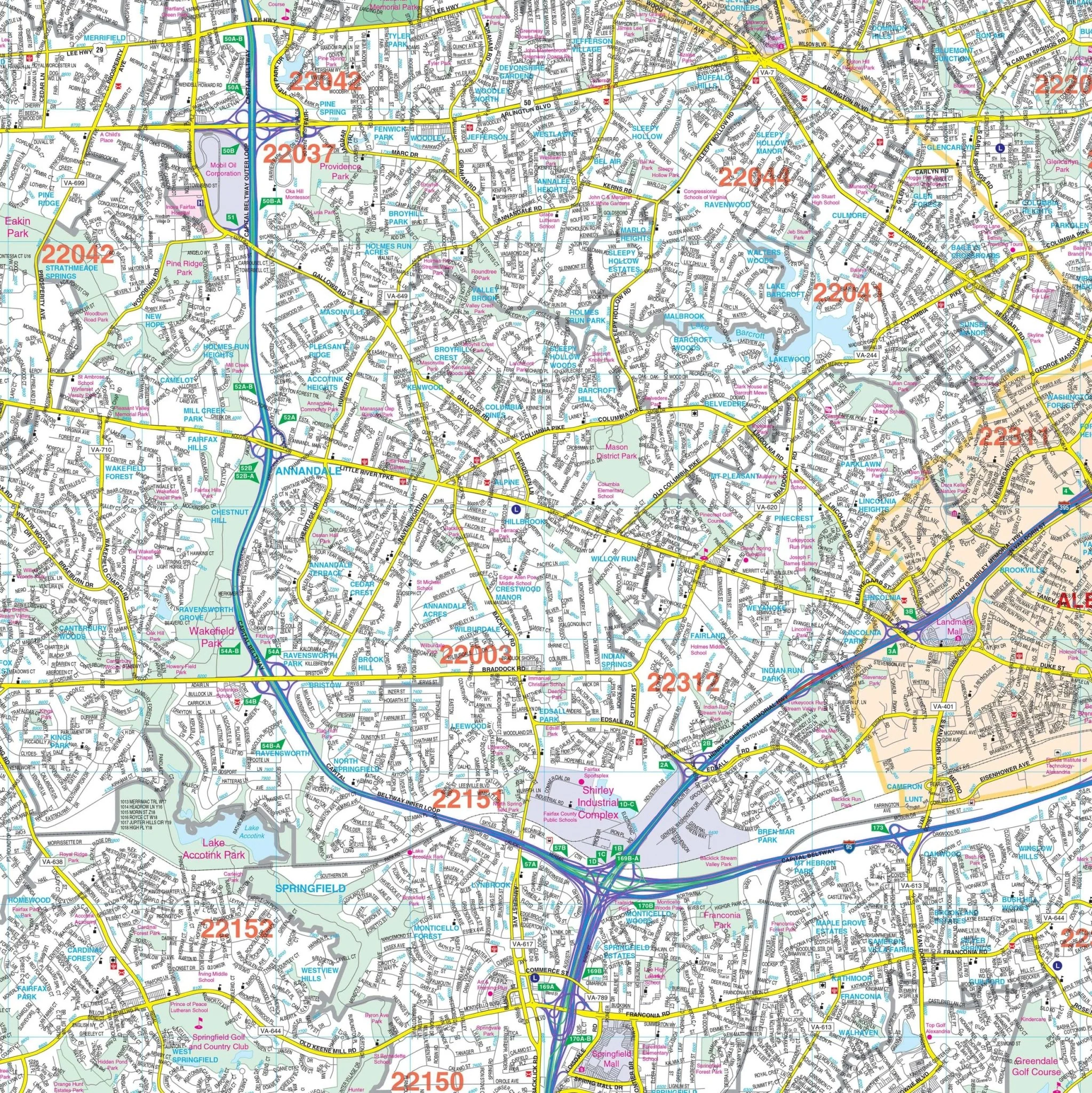
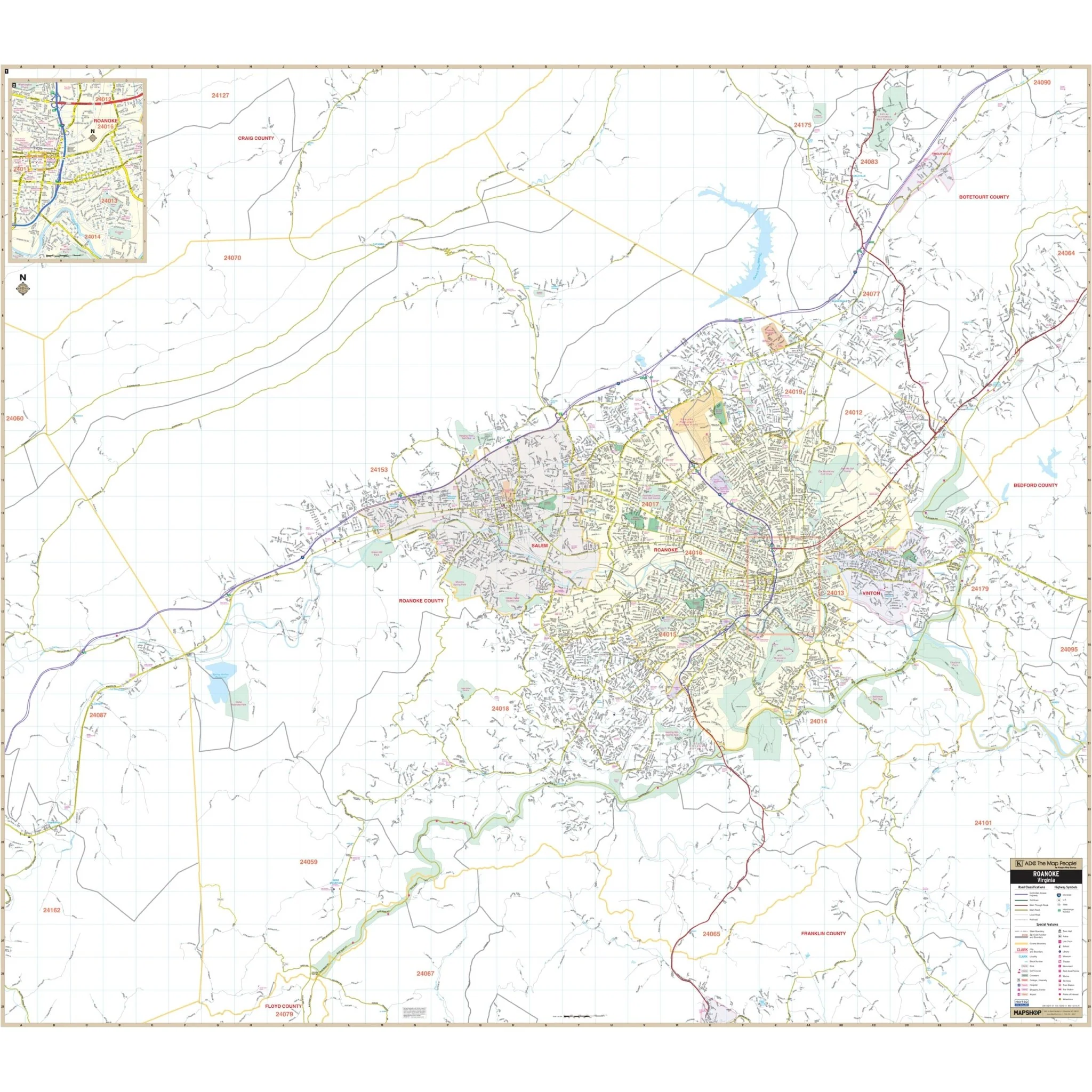
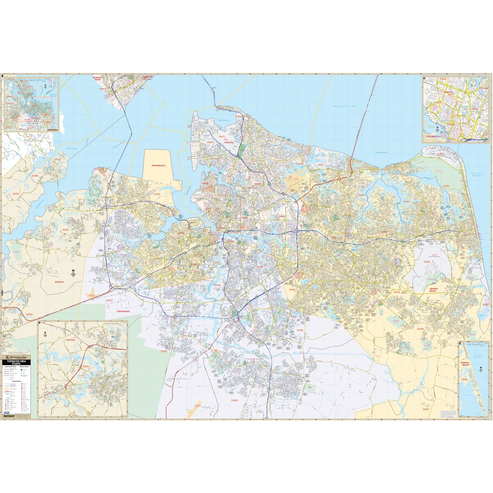
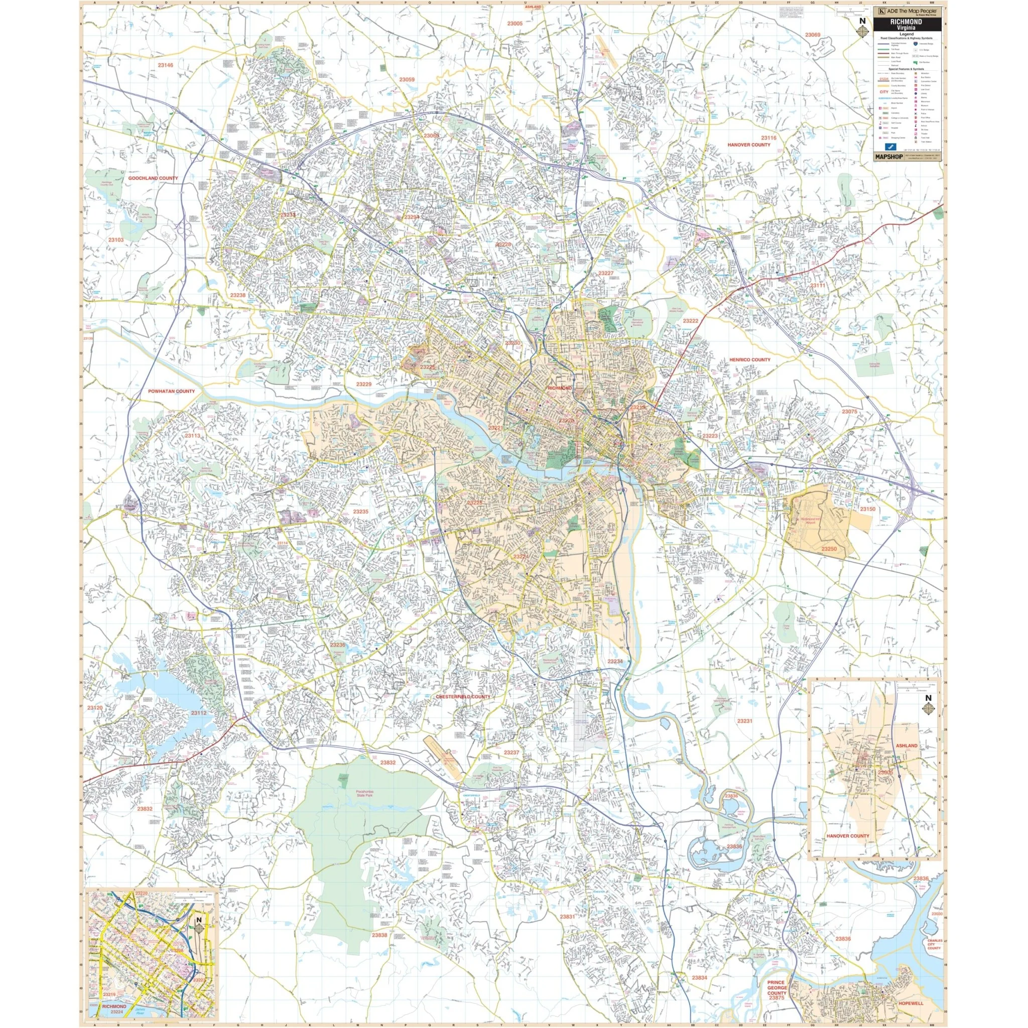
Kappa Map Group's Lynchburg, VA Wall Map provides complete street detail and includes street indexing on the face of the map. The area of coverage encompasses all of the City of Lynchburg and the surrounding areas, with the following boundaries:
- North: North of the City limits of Lynchburg and to Prices Store in Amherst County.
- South: Past the Lynchburg Regional Airport.
- East: to Stonewall Road in Appomattox County.
- West: to Forest in Bedford County.
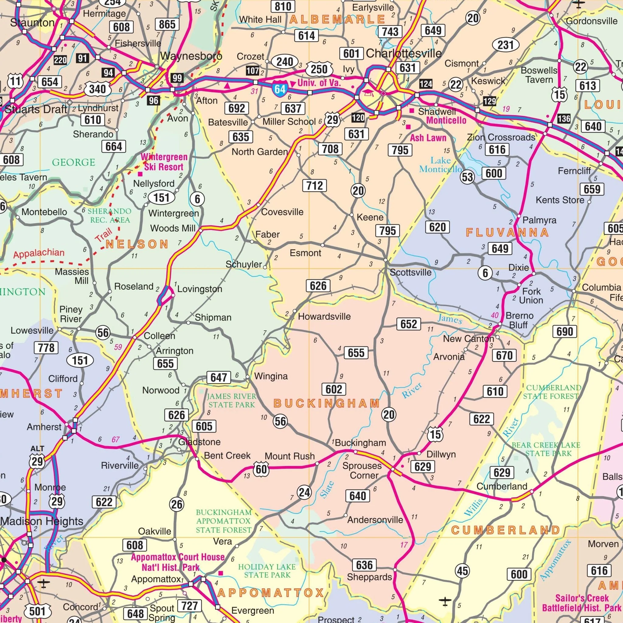
Insets for this map are as follows: Detailed insets of the Towns of Altavista, Appomattox, Bedford, and Amherst, and the Independent City of Buena Vista.
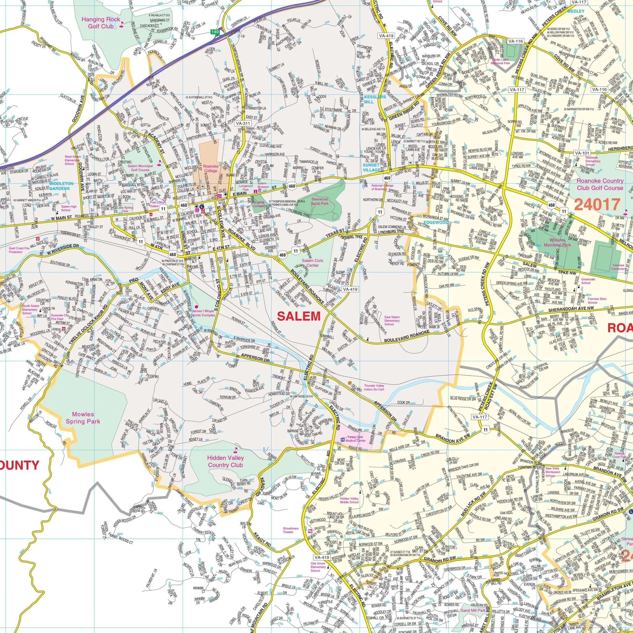
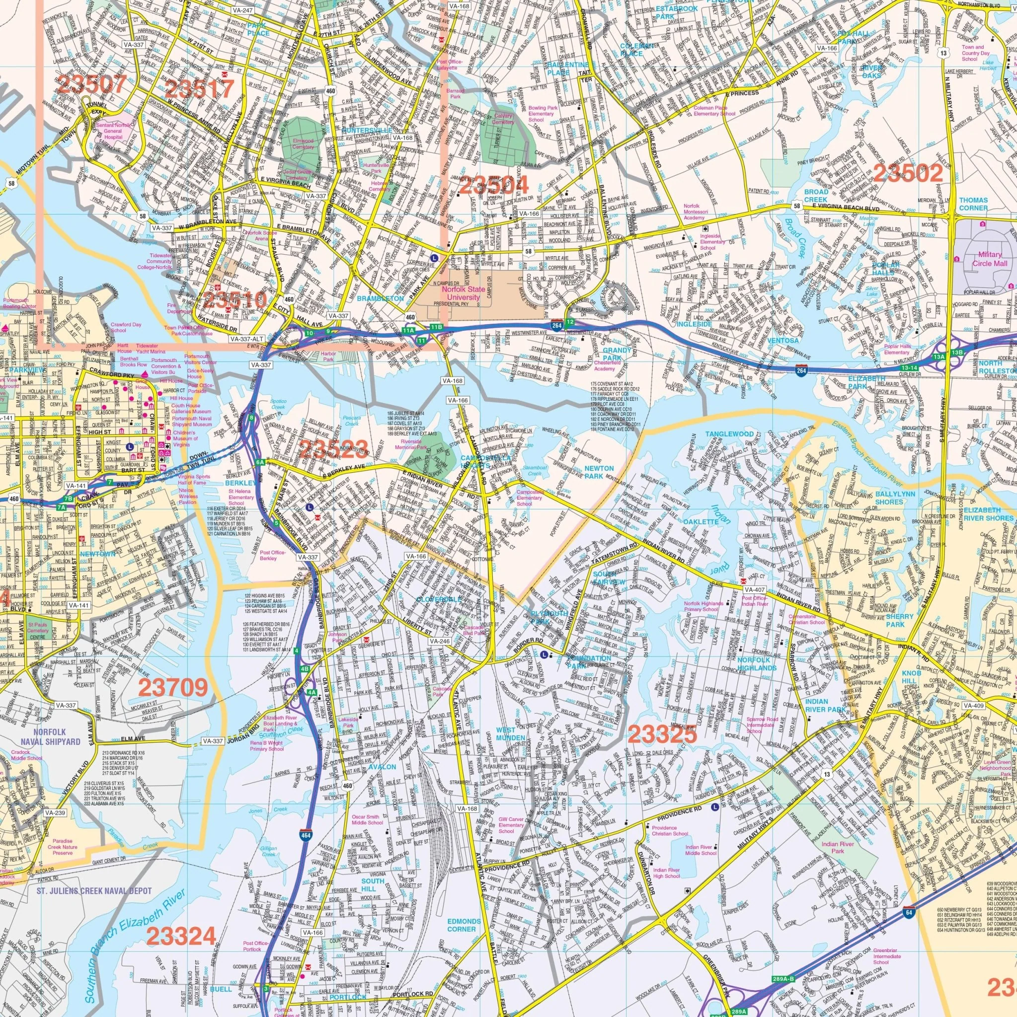
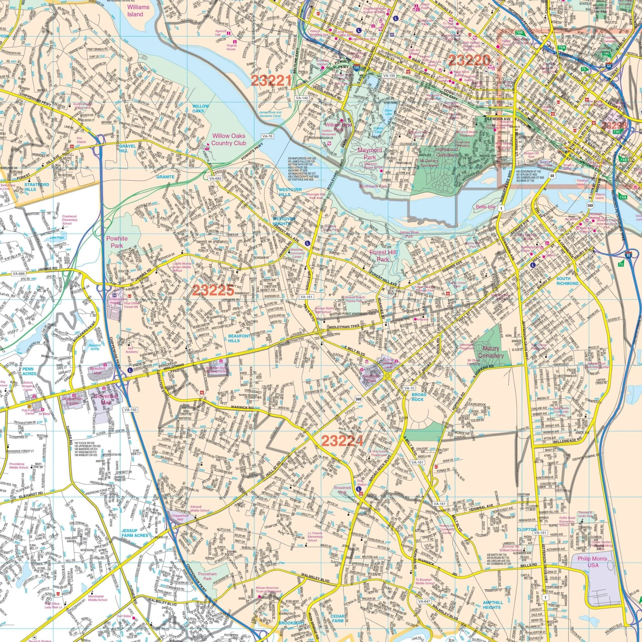
Details and features include Airports, Block Numbers, Cemeteries, City Limits, Educational Institutions, Fire & Police Stations, Golf & Country Clubs, Government Buildings, Hospitals, Libraries, Points of Interest, Railroads, Recreational Parks, Shopping Centers, Streets & Highways, Water Features, and Zip Codes.
Size: 80" x 48"
Published: 2013
Original: $149.99
-70%$149.99
$45.00Product Information
Product Information
Shipping & Returns
Shipping & Returns
Description
Kappa Map Group's Lynchburg, VA Wall Map provides complete street detail and includes street indexing on the face of the map. The area of coverage encompasses all of the City of Lynchburg and the surrounding areas, with the following boundaries:
- North: North of the City limits of Lynchburg and to Prices Store in Amherst County.
- South: Past the Lynchburg Regional Airport.
- East: to Stonewall Road in Appomattox County.
- West: to Forest in Bedford County.
Insets for this map are as follows: Detailed insets of the Towns of Altavista, Appomattox, Bedford, and Amherst, and the Independent City of Buena Vista.
Details and features include Airports, Block Numbers, Cemeteries, City Limits, Educational Institutions, Fire & Police Stations, Golf & Country Clubs, Government Buildings, Hospitals, Libraries, Points of Interest, Railroads, Recreational Parks, Shopping Centers, Streets & Highways, Water Features, and Zip Codes.
Size: 80" x 48"
Published: 2013