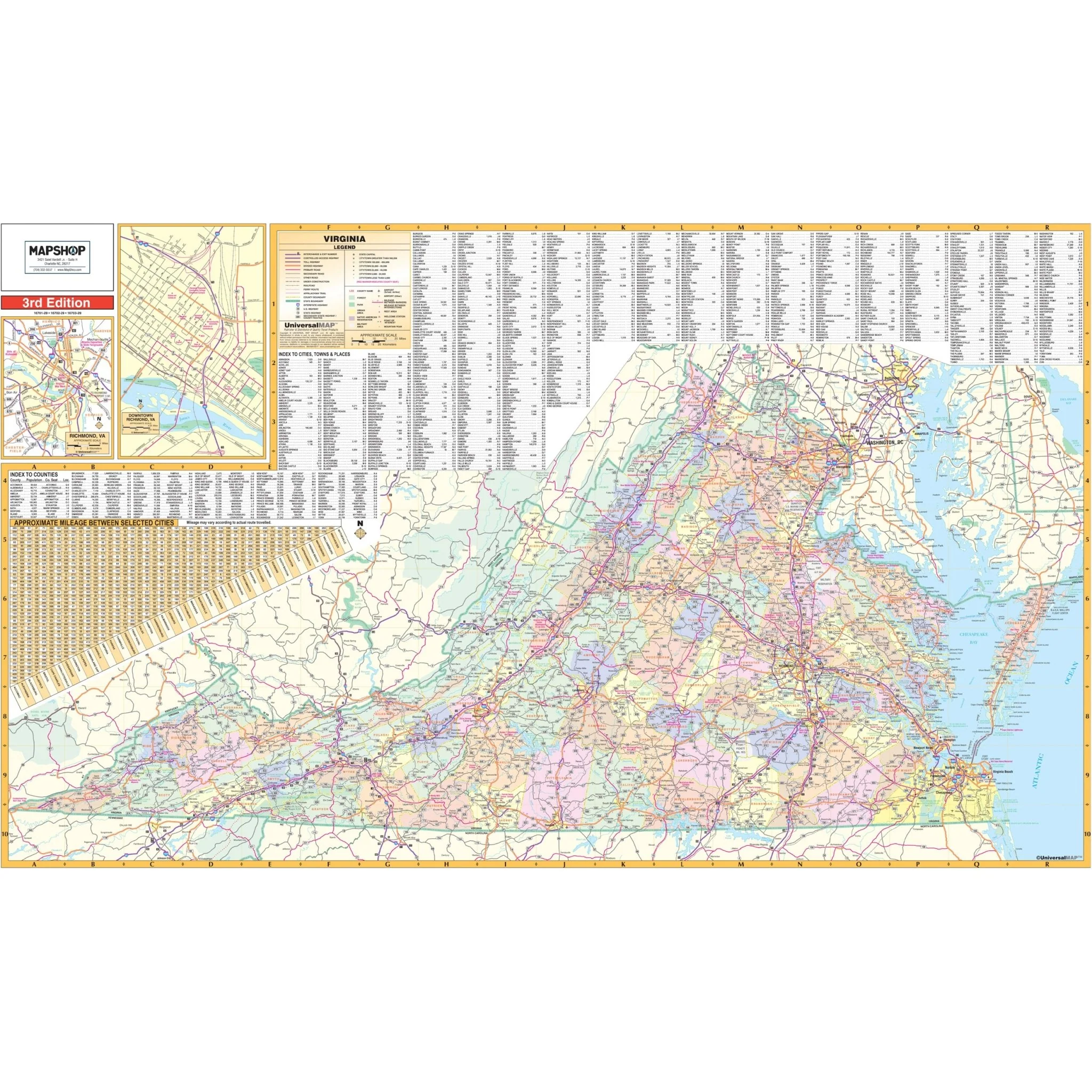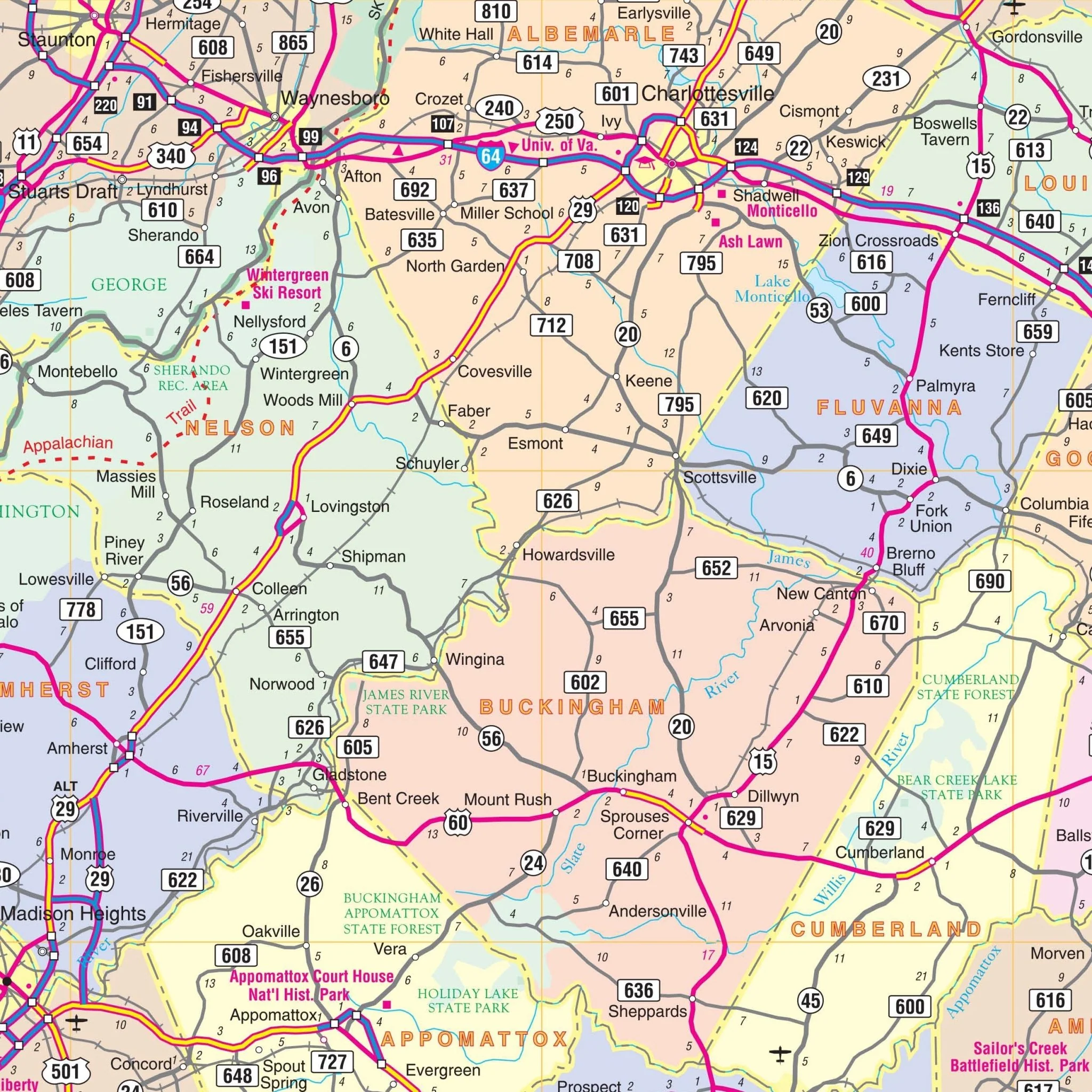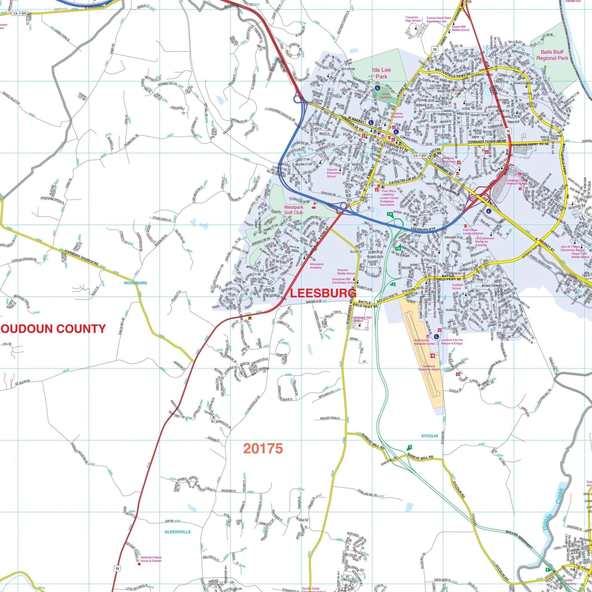


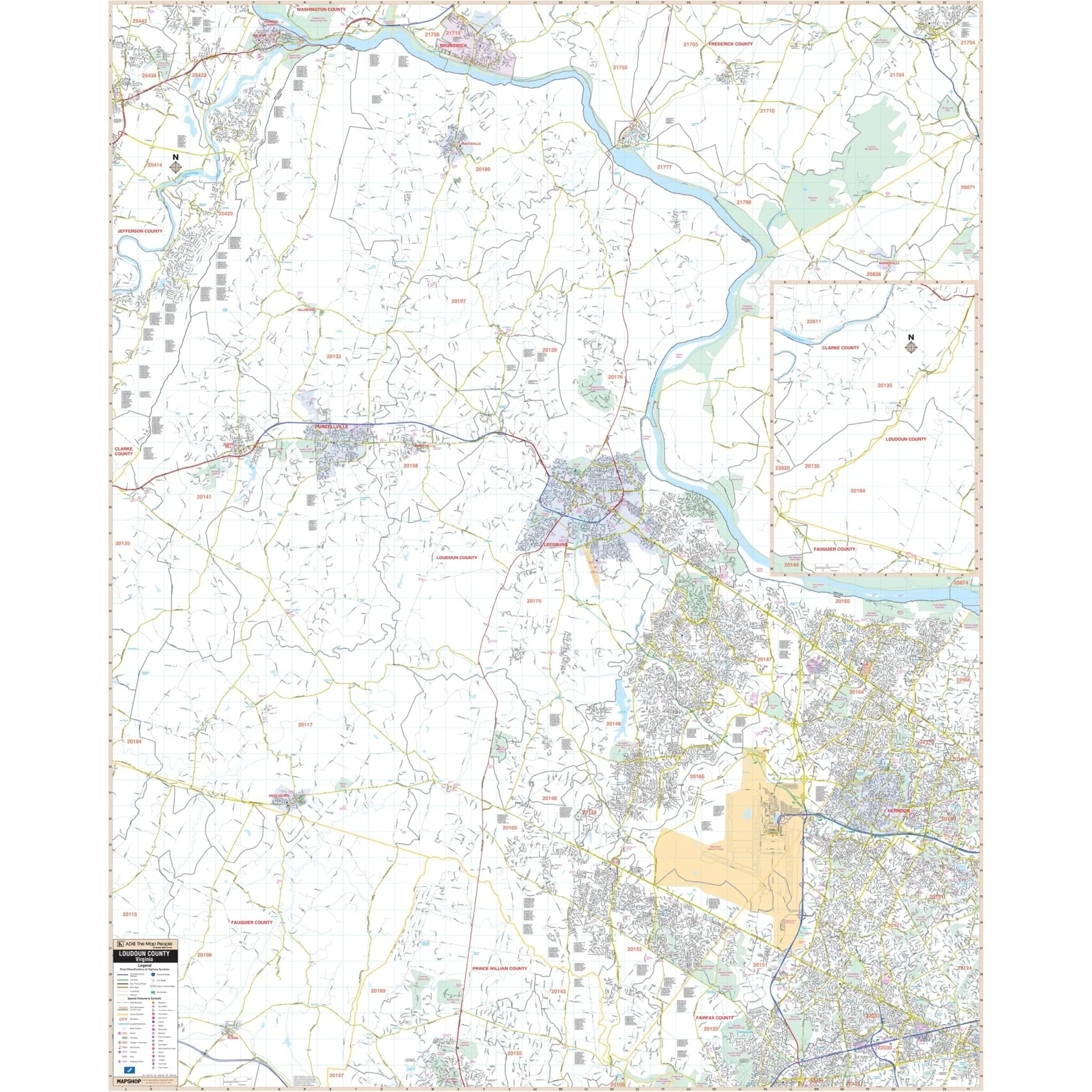

Loudon County, VA Wall Map
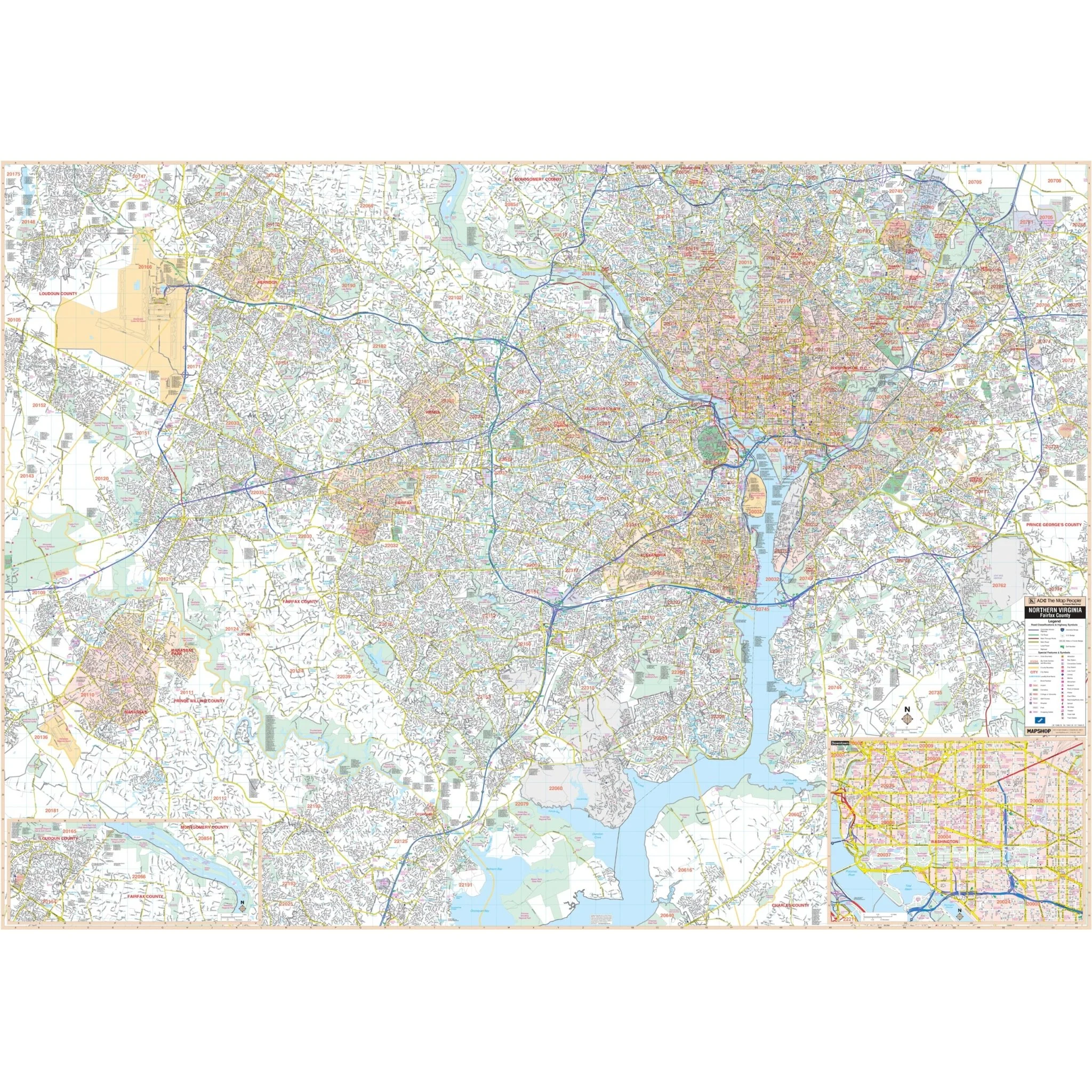
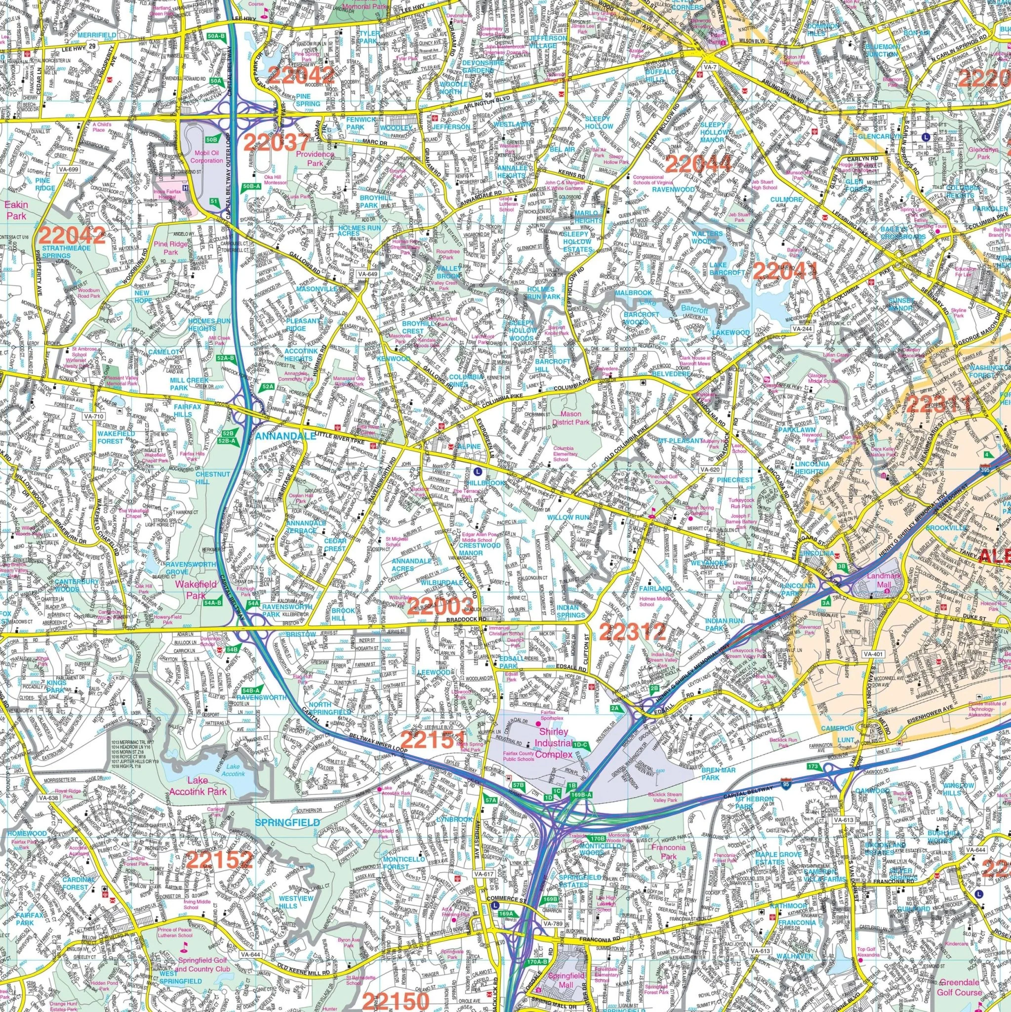
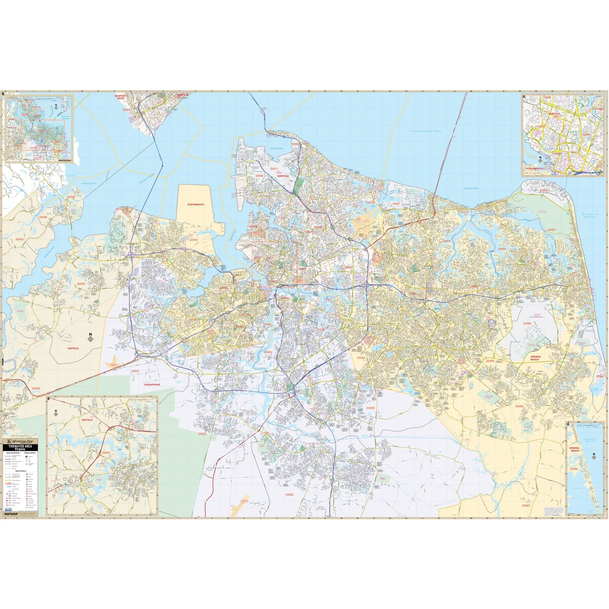
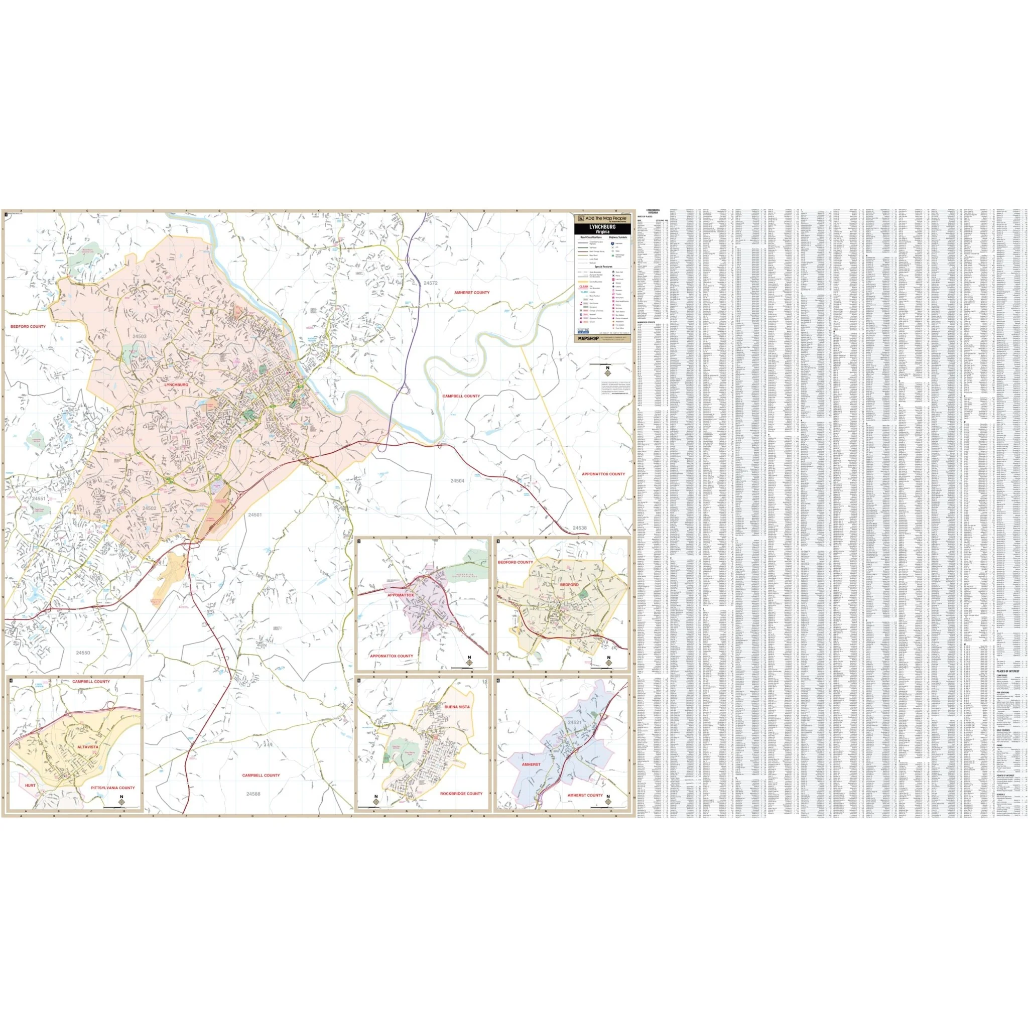
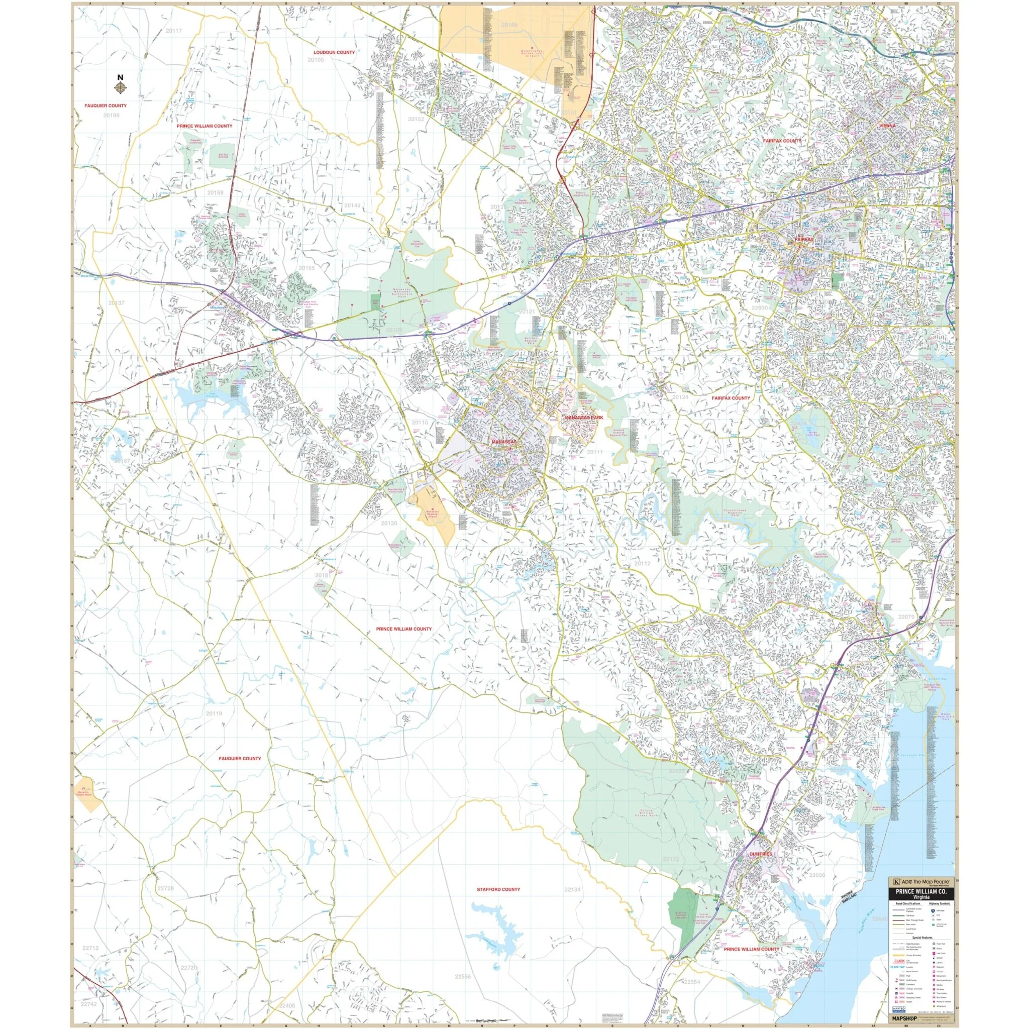
Kappa Map Group's Loudoun County, VA Wall Map provides complete street detail. The area of coverage includes all of Loudoun County.
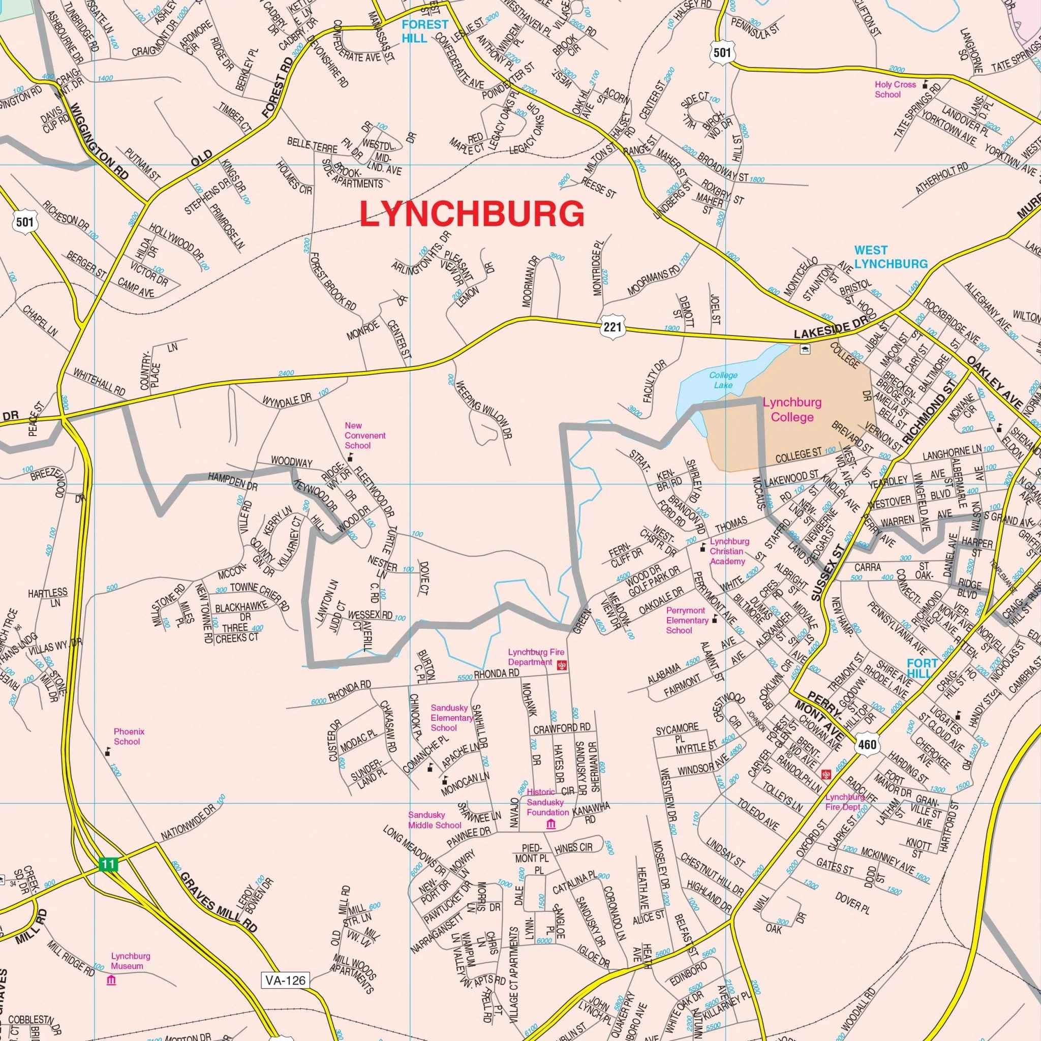
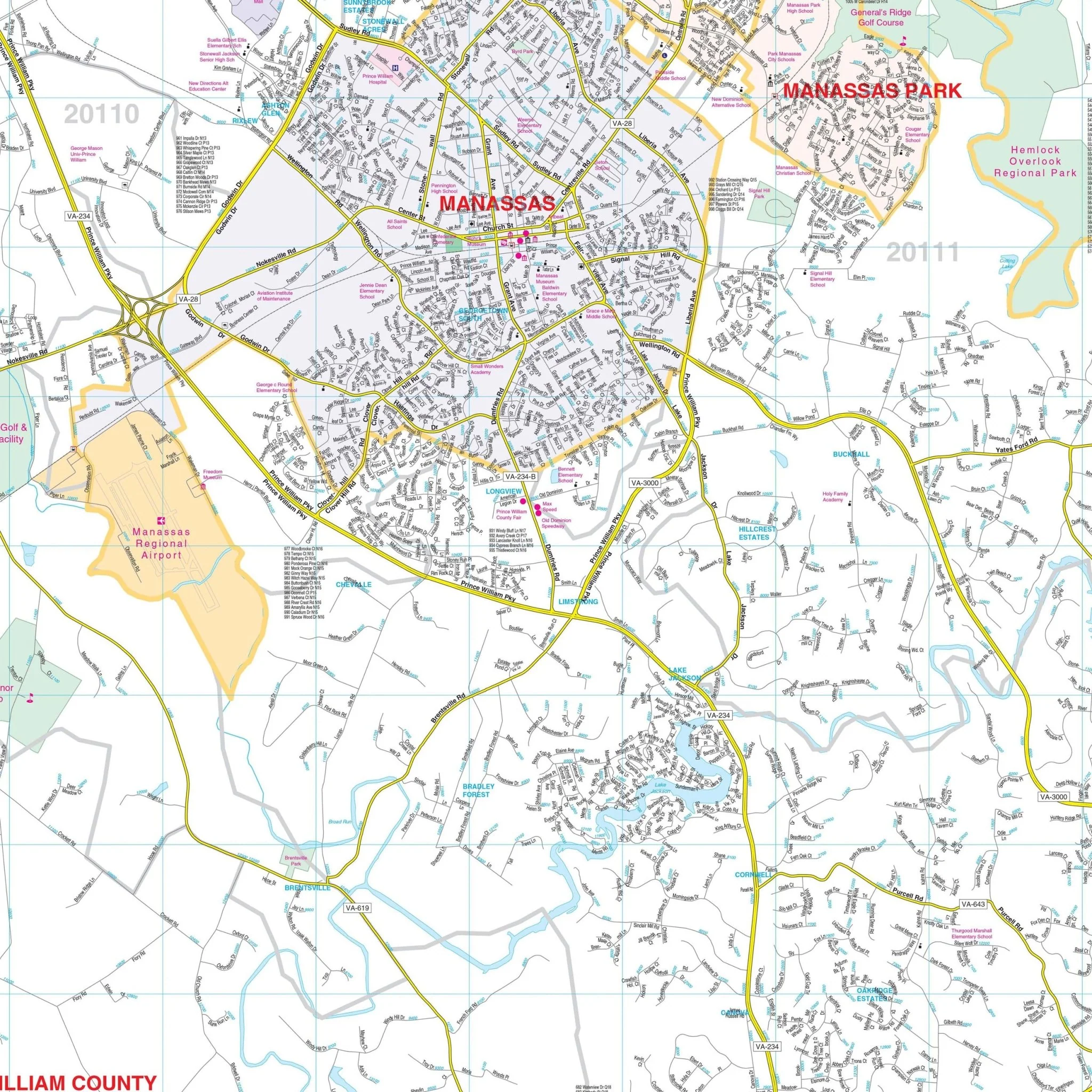
Details and features highlighted on the map encompass all streets, hospitals, railroads, airports, cemeteries, shopping centers, water features, recreational parks, governmental buildings, police stations, educational facilities, golf courses and country clubs, ZIP codes and boundaries, points of interest, and more.
Size: 57" x 70.75"
Published: 2011
Product Information
Product Information
Shipping & Returns
Shipping & Returns
Description
Kappa Map Group's Loudoun County, VA Wall Map provides complete street detail. The area of coverage includes all of Loudoun County.
Details and features highlighted on the map encompass all streets, hospitals, railroads, airports, cemeteries, shopping centers, water features, recreational parks, governmental buildings, police stations, educational facilities, golf courses and country clubs, ZIP codes and boundaries, points of interest, and more.
Size: 57" x 70.75"
Published: 2011