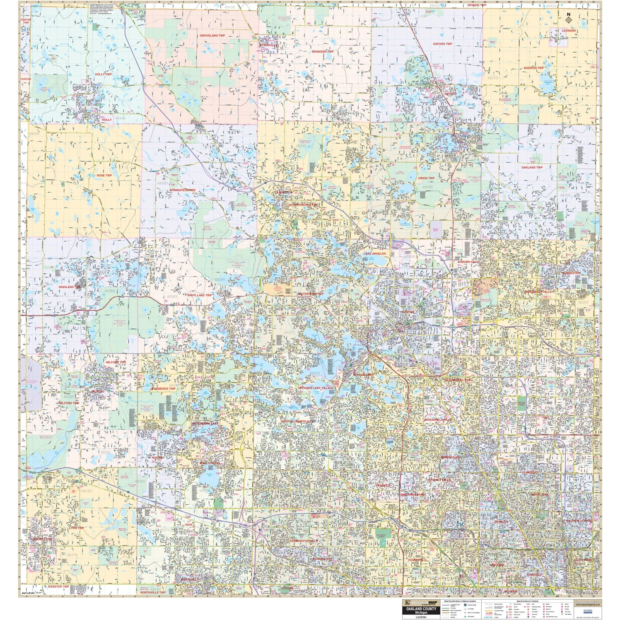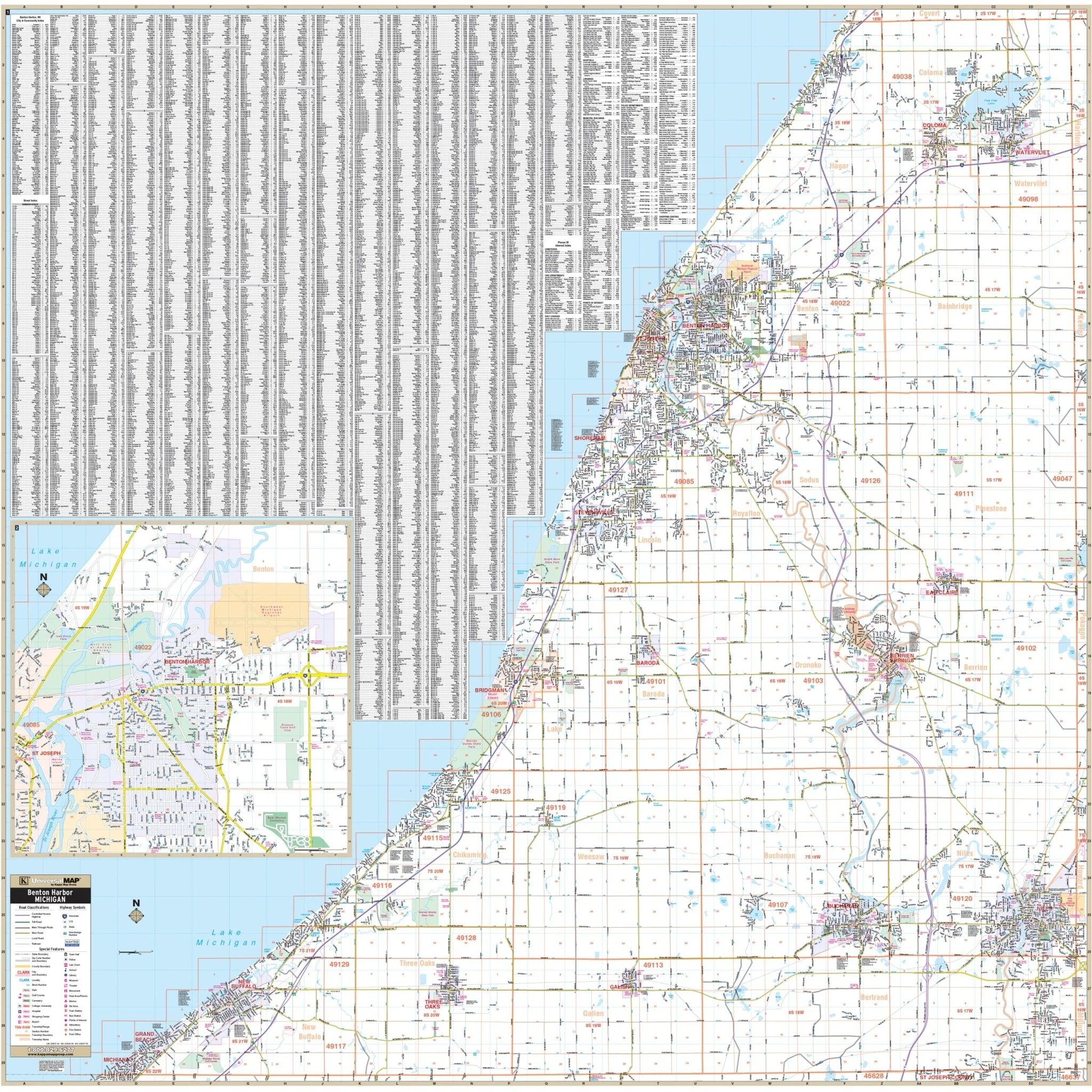


Benton Harbor & Berrien County, MI Wall Map
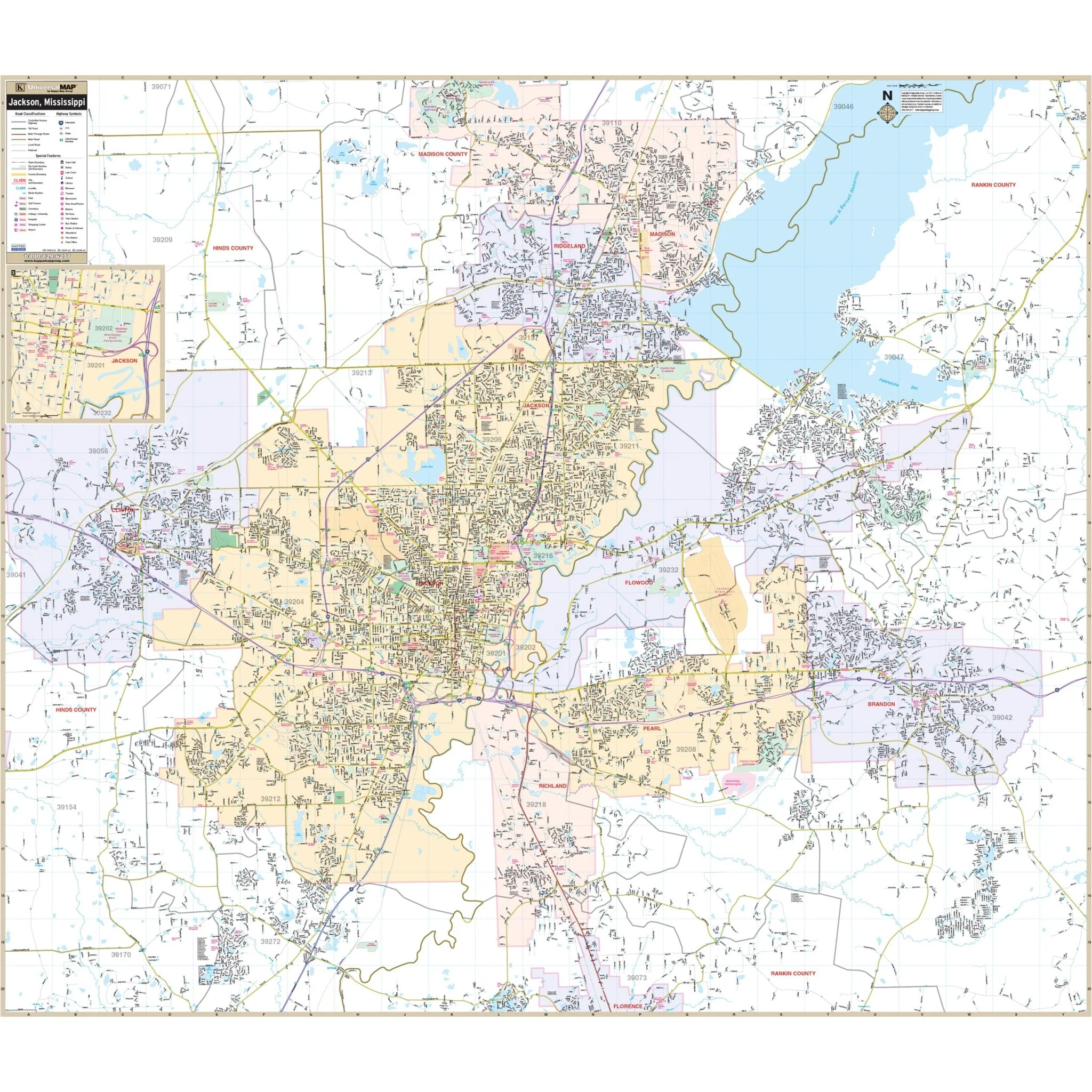
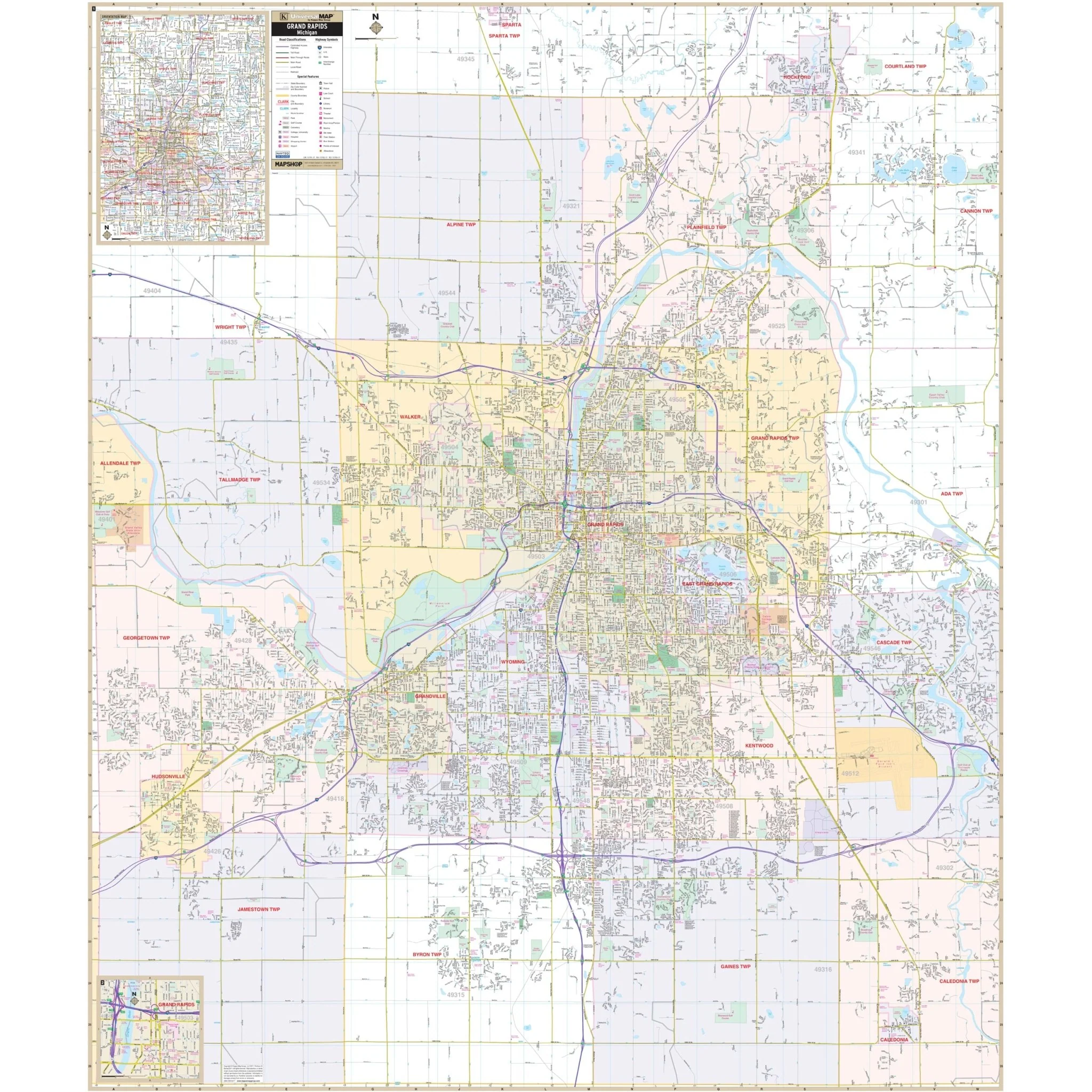
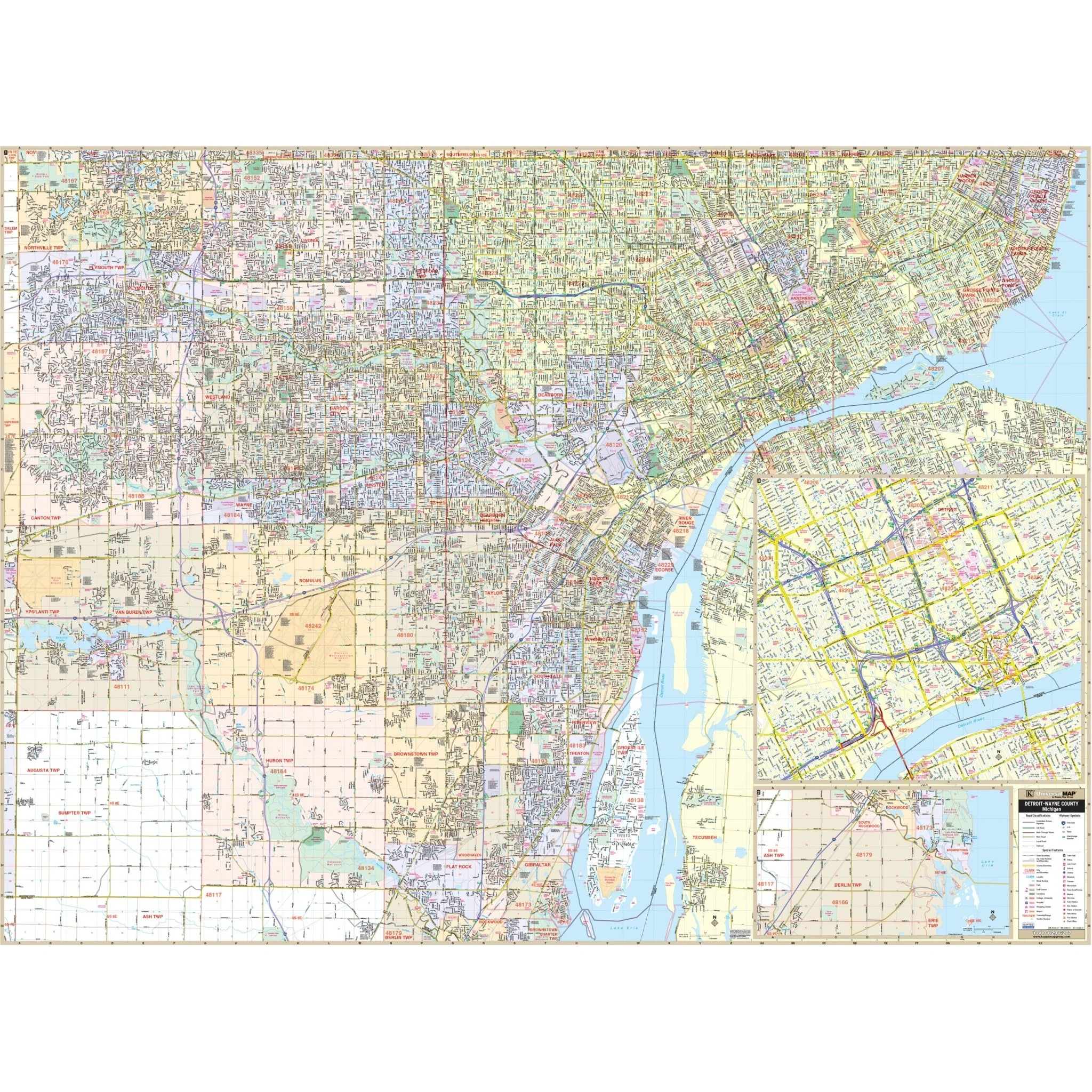
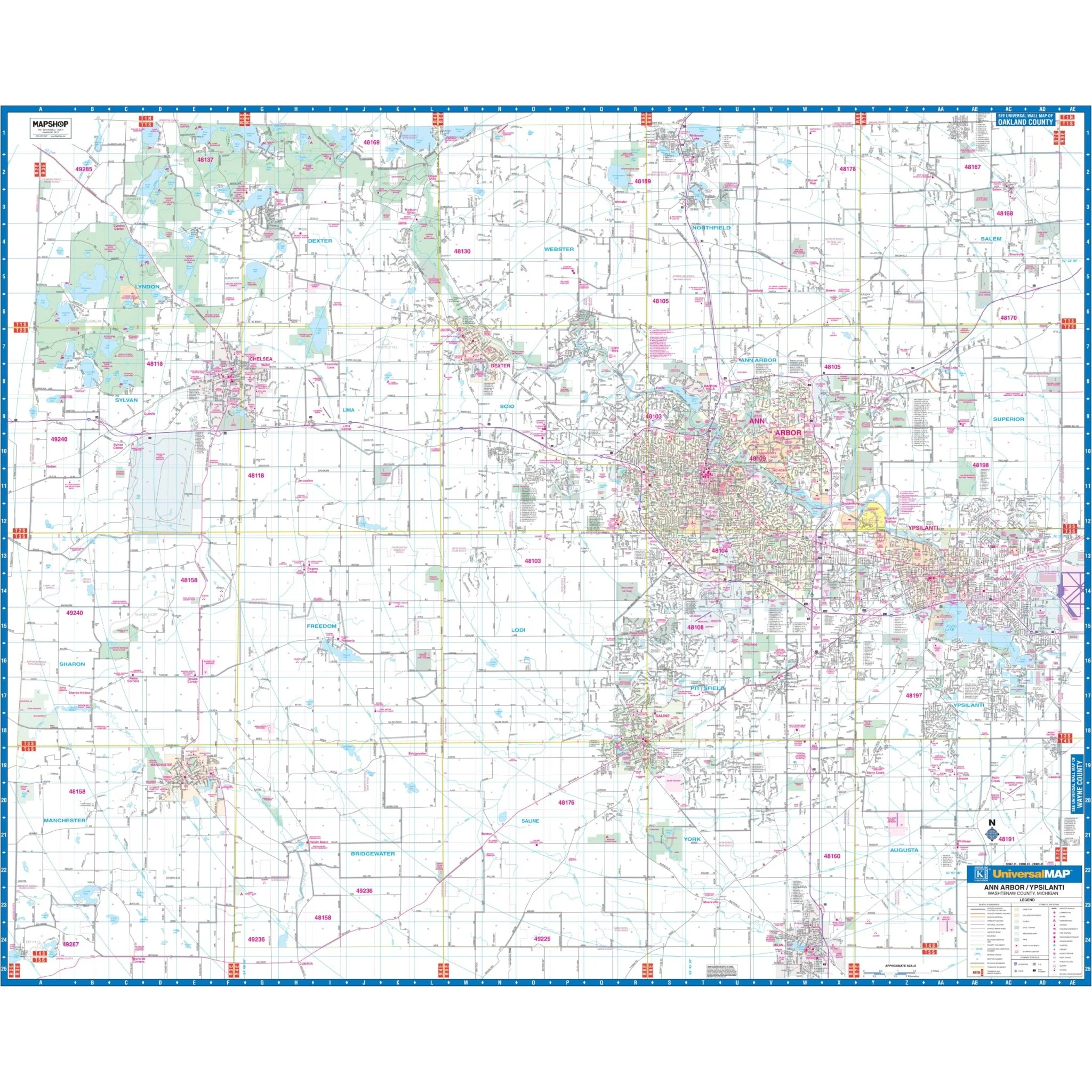
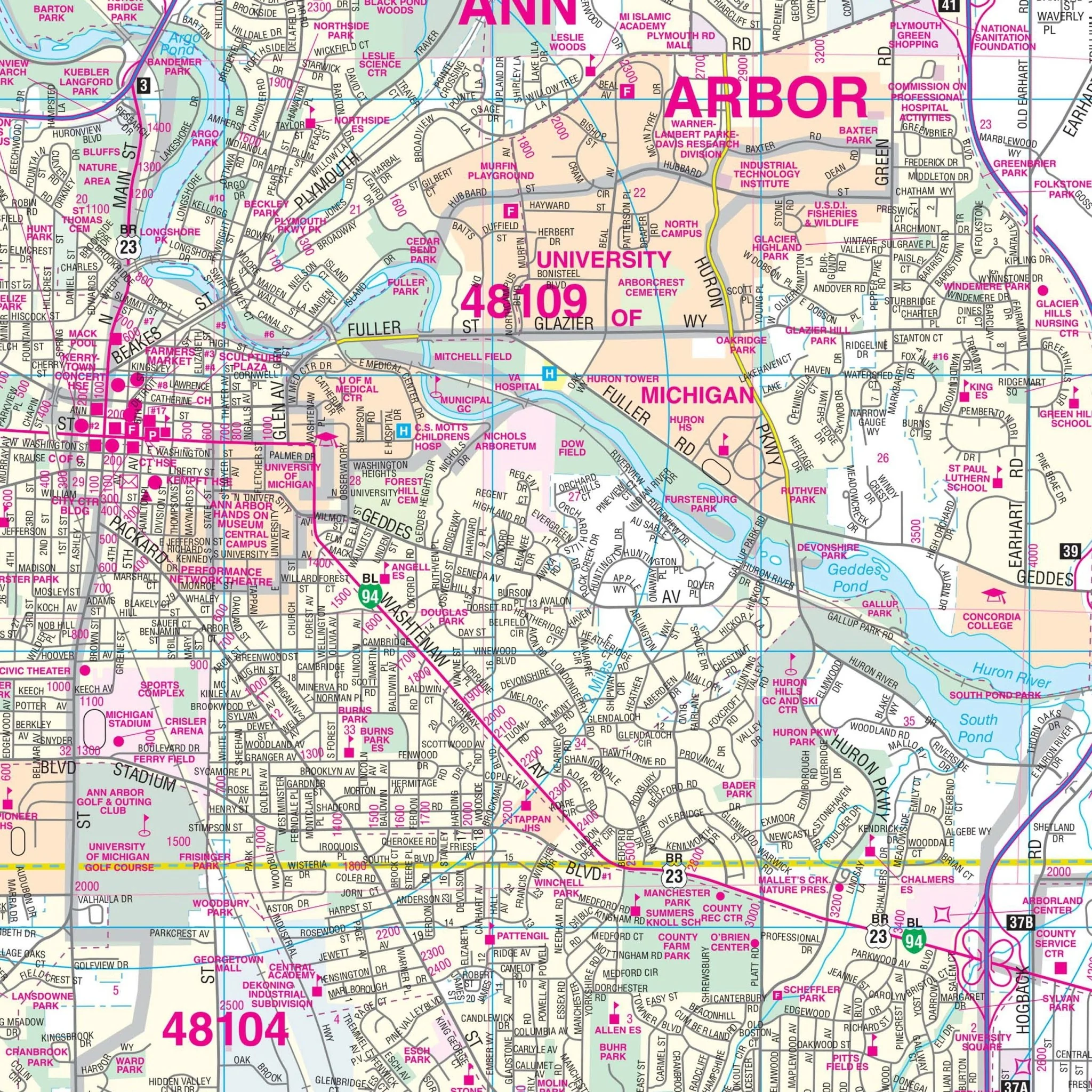
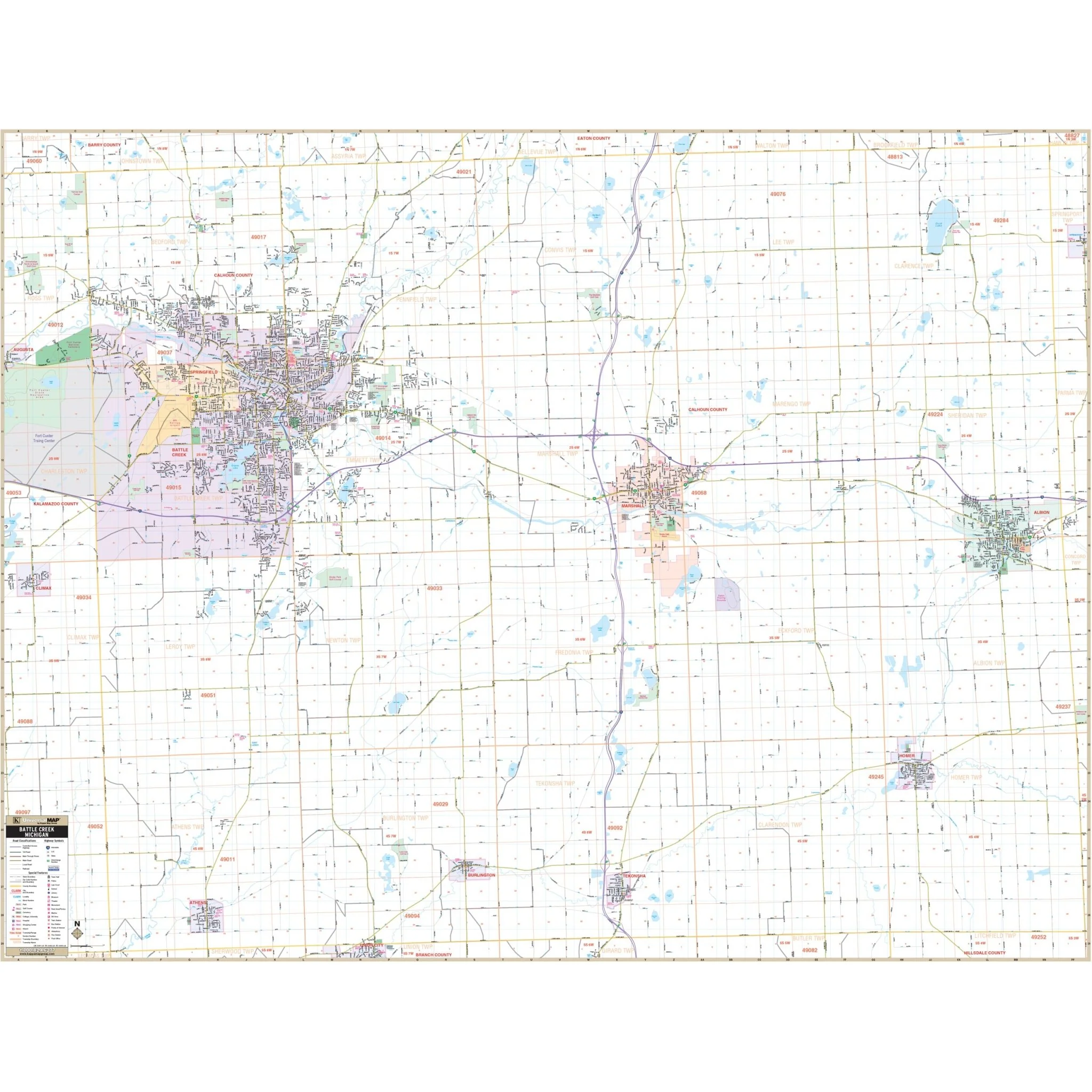
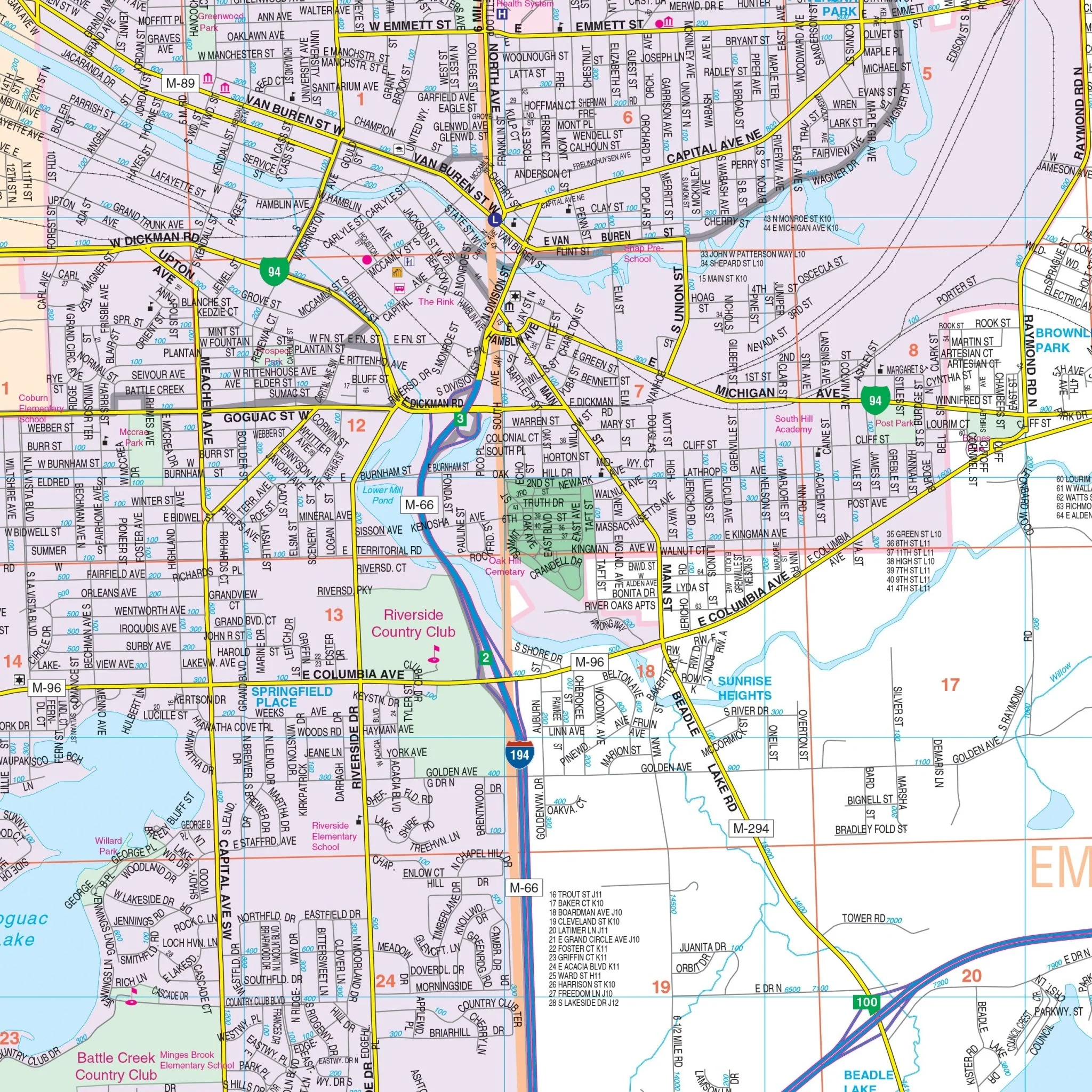
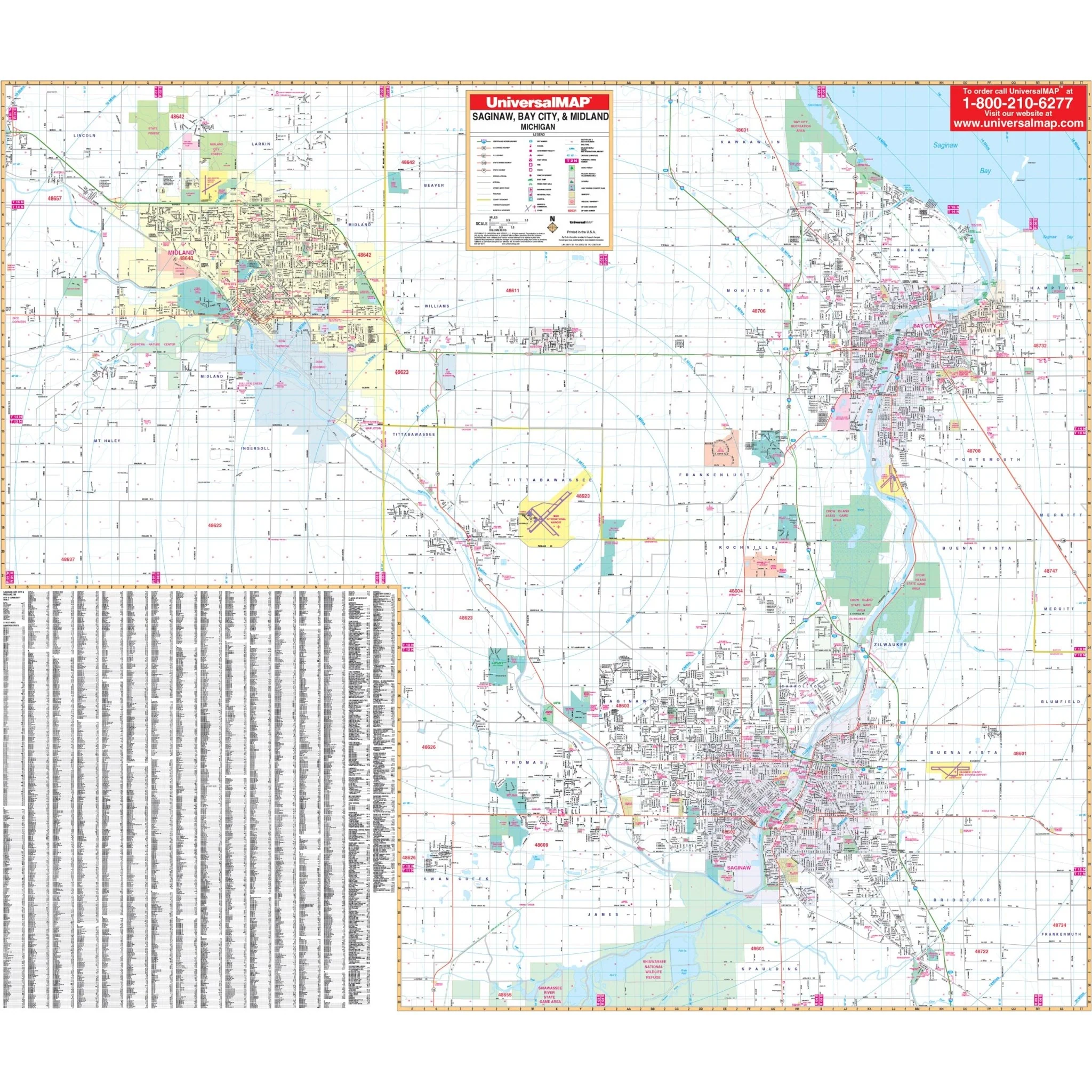
Explore the Benton Harbor-Berrien County, Michigan Wall Map by Kappa Map Group, offering a comprehensive view of the region for your navigation and reference needs.
The area of coverage includes:
- North: Extending to the Van Buren County line.
- South: Encompassing the Indiana state line.
- East: Reaching the Cass County line.
- West: Extending to Lake Michigan.
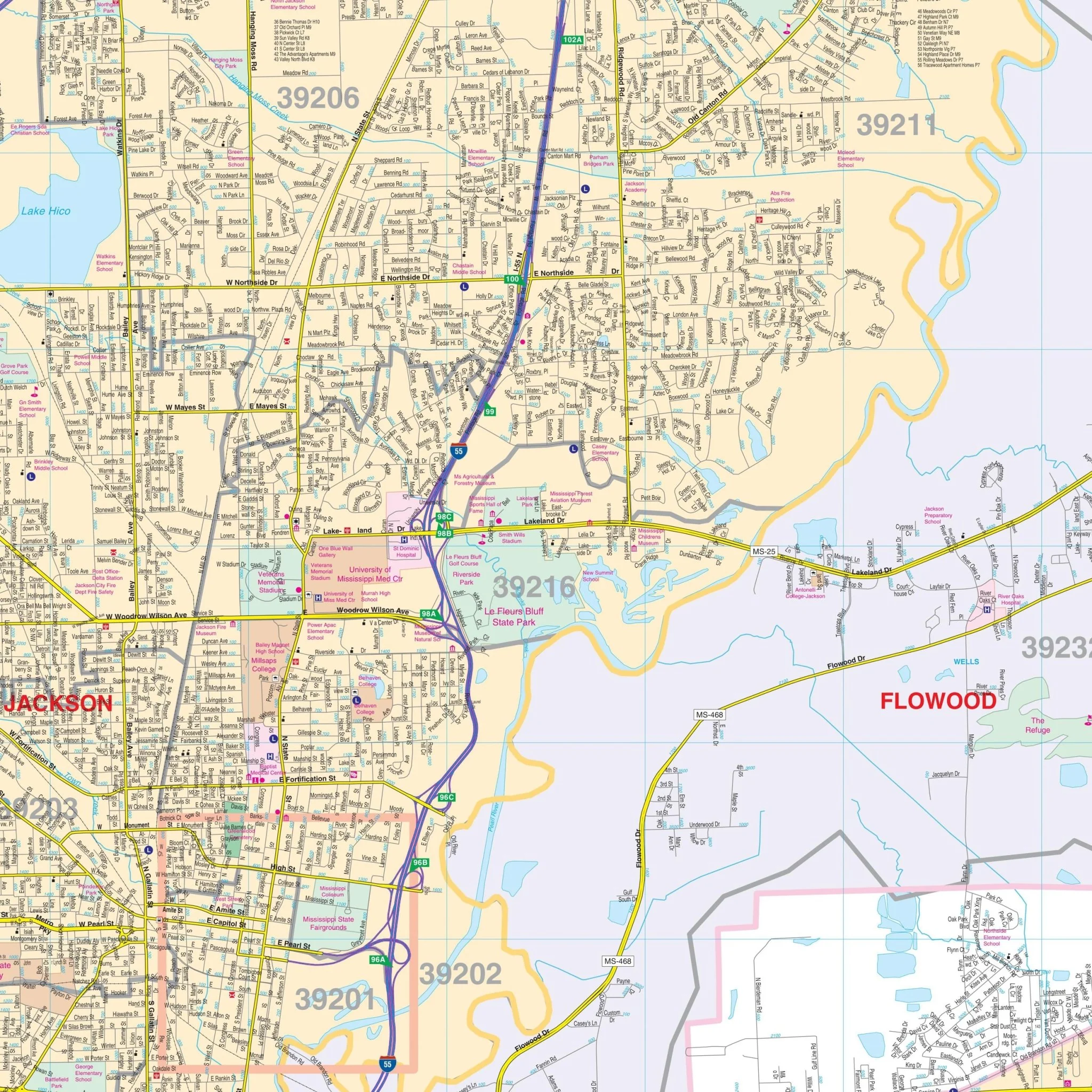
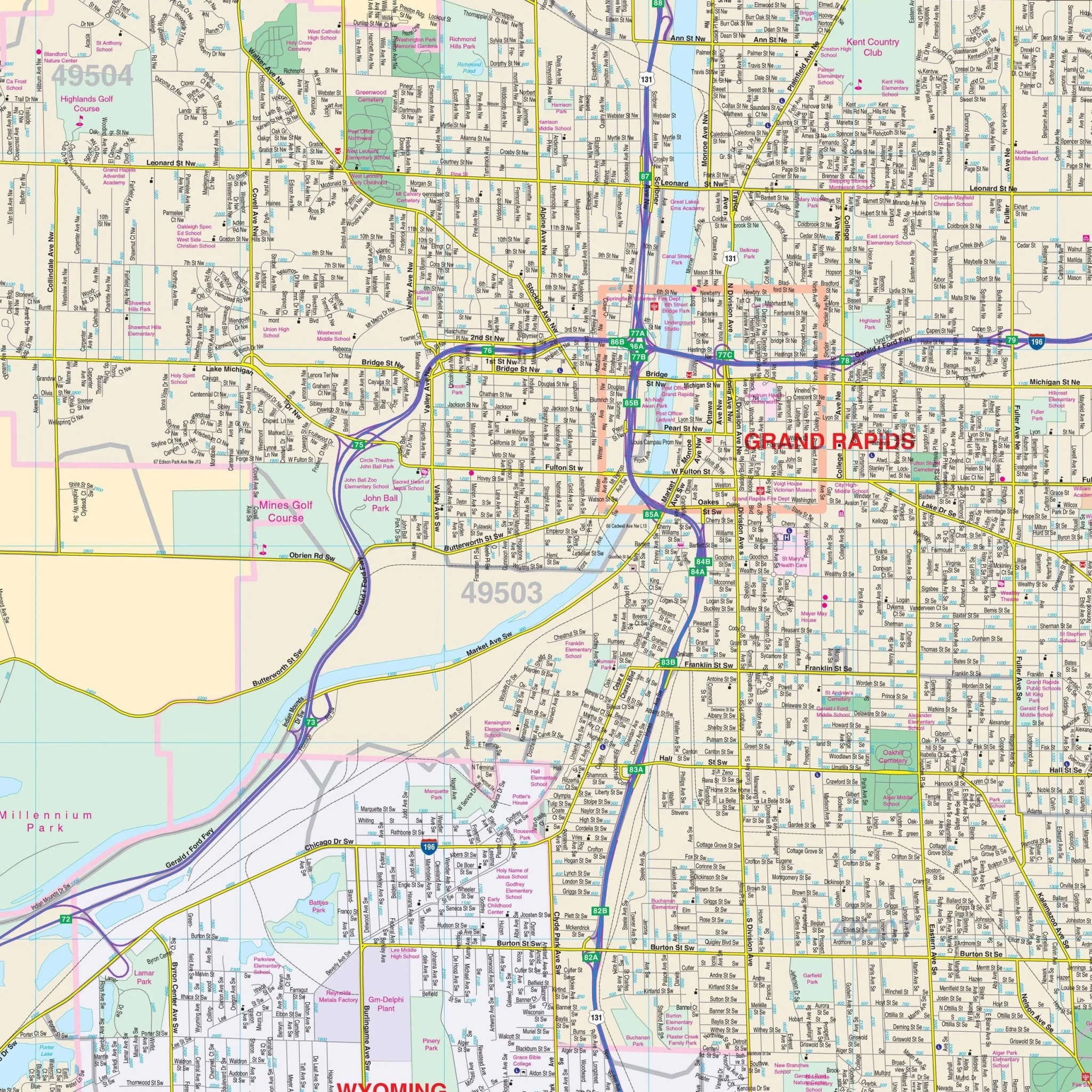
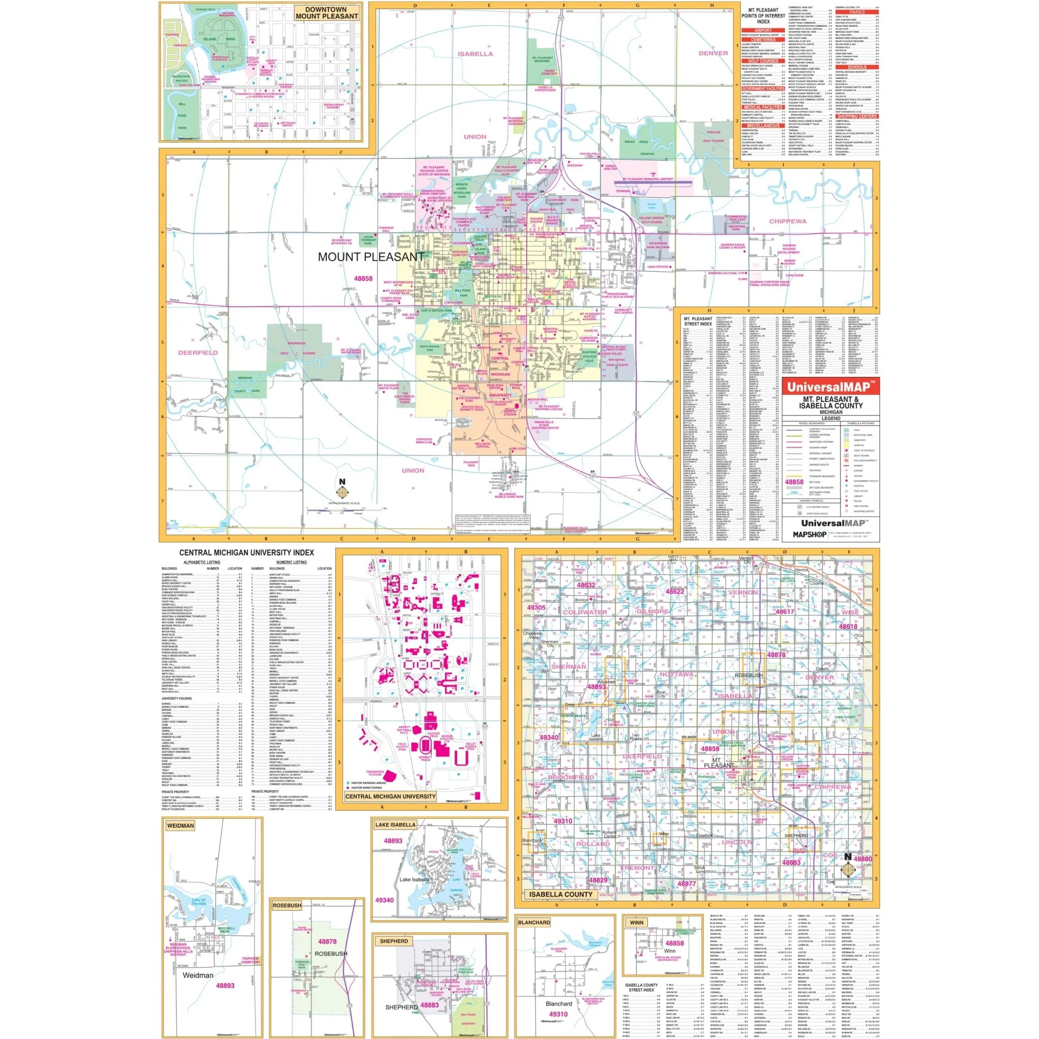
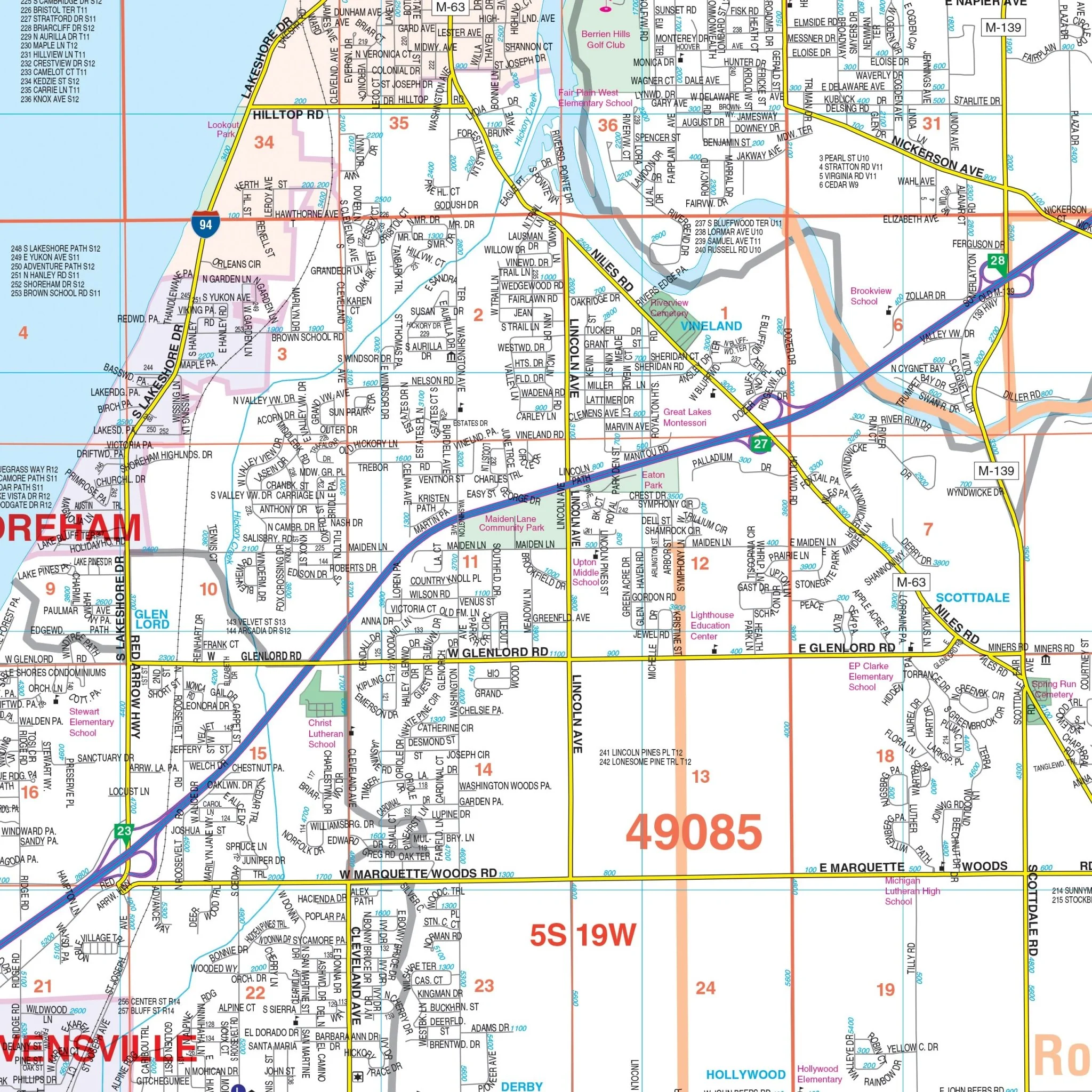
Key features and data on this map include streets and highways, government buildings, airports, water features, fire and police stations, hospitals, shopping centers, educational institutions, railroads, recreational parks, golf and country clubs, post offices, points of interest, city limits (color-coded), cemeteries, section/township/range numbers and lines, ZIP codes and boundaries, block numbers, libraries, and township names and boundaries.
Embark on your journey through Benton Harbor and Berrien County, MI, equipped with this informative wall map, designed to enhance your exploration and navigation of the area.
Size: 57.5" x 57"
Published: 2015
Original: $139.99
-70%$139.99
$42.00Product Information
Product Information
Shipping & Returns
Shipping & Returns
Description
Explore the Benton Harbor-Berrien County, Michigan Wall Map by Kappa Map Group, offering a comprehensive view of the region for your navigation and reference needs.
The area of coverage includes:
- North: Extending to the Van Buren County line.
- South: Encompassing the Indiana state line.
- East: Reaching the Cass County line.
- West: Extending to Lake Michigan.
Key features and data on this map include streets and highways, government buildings, airports, water features, fire and police stations, hospitals, shopping centers, educational institutions, railroads, recreational parks, golf and country clubs, post offices, points of interest, city limits (color-coded), cemeteries, section/township/range numbers and lines, ZIP codes and boundaries, block numbers, libraries, and township names and boundaries.
Embark on your journey through Benton Harbor and Berrien County, MI, equipped with this informative wall map, designed to enhance your exploration and navigation of the area.
Size: 57.5" x 57"
Published: 2015