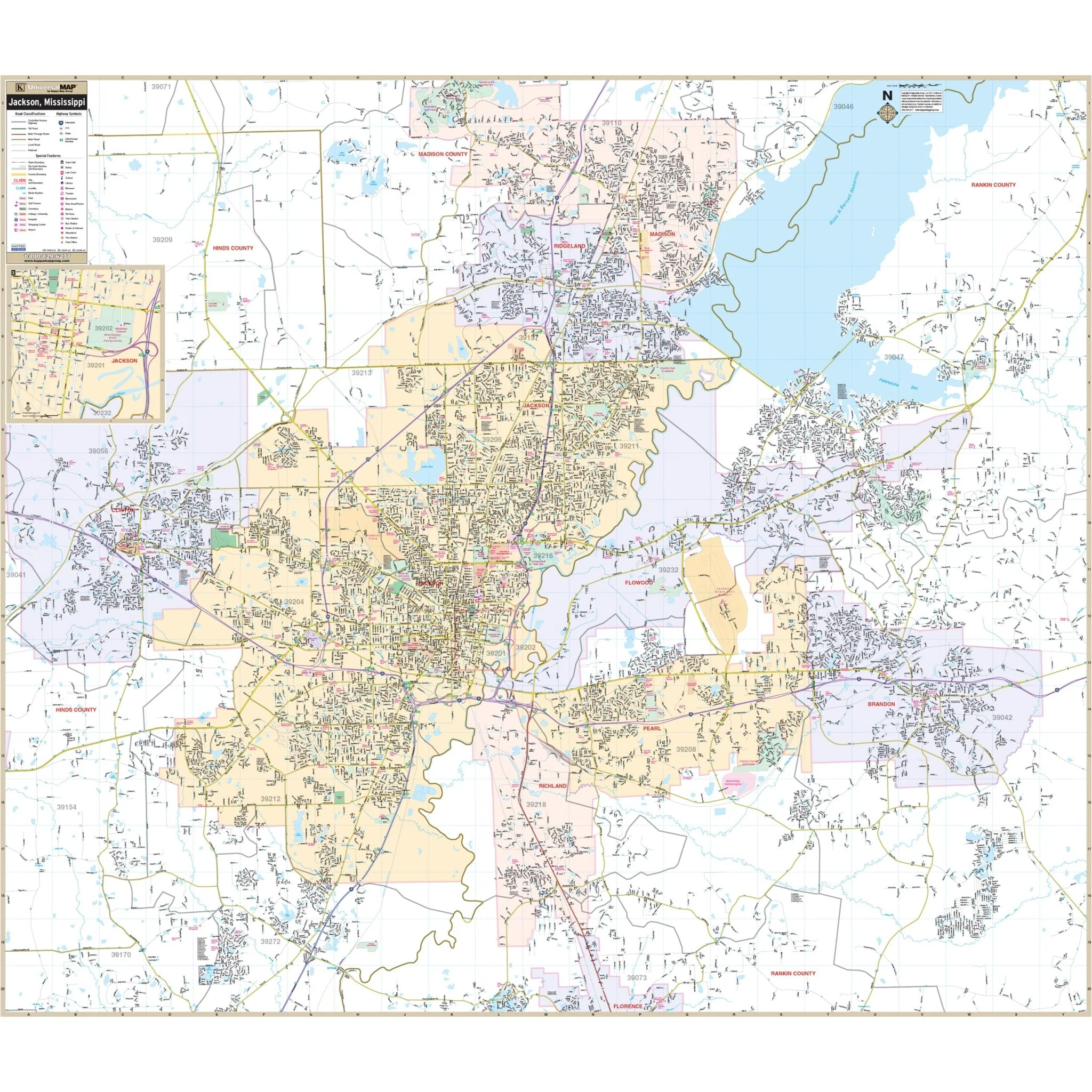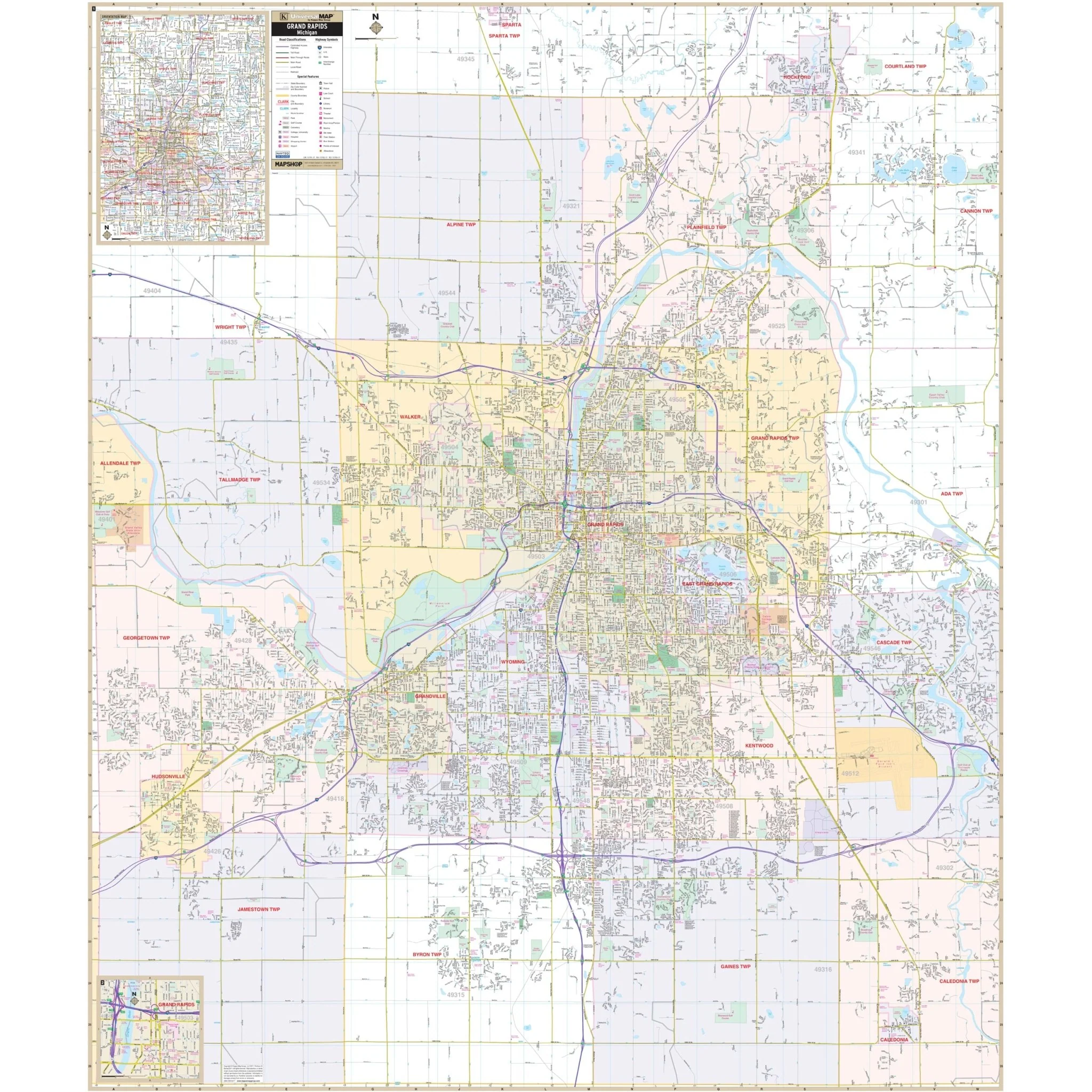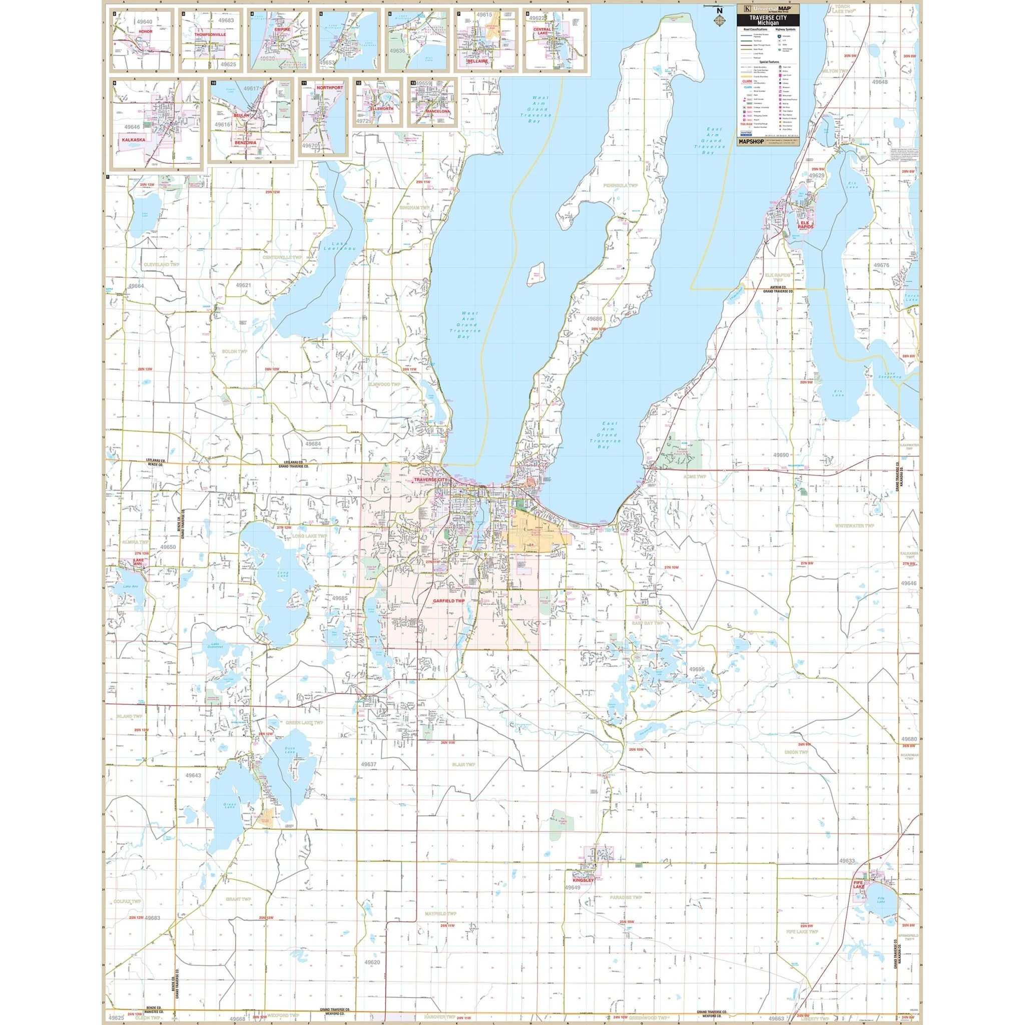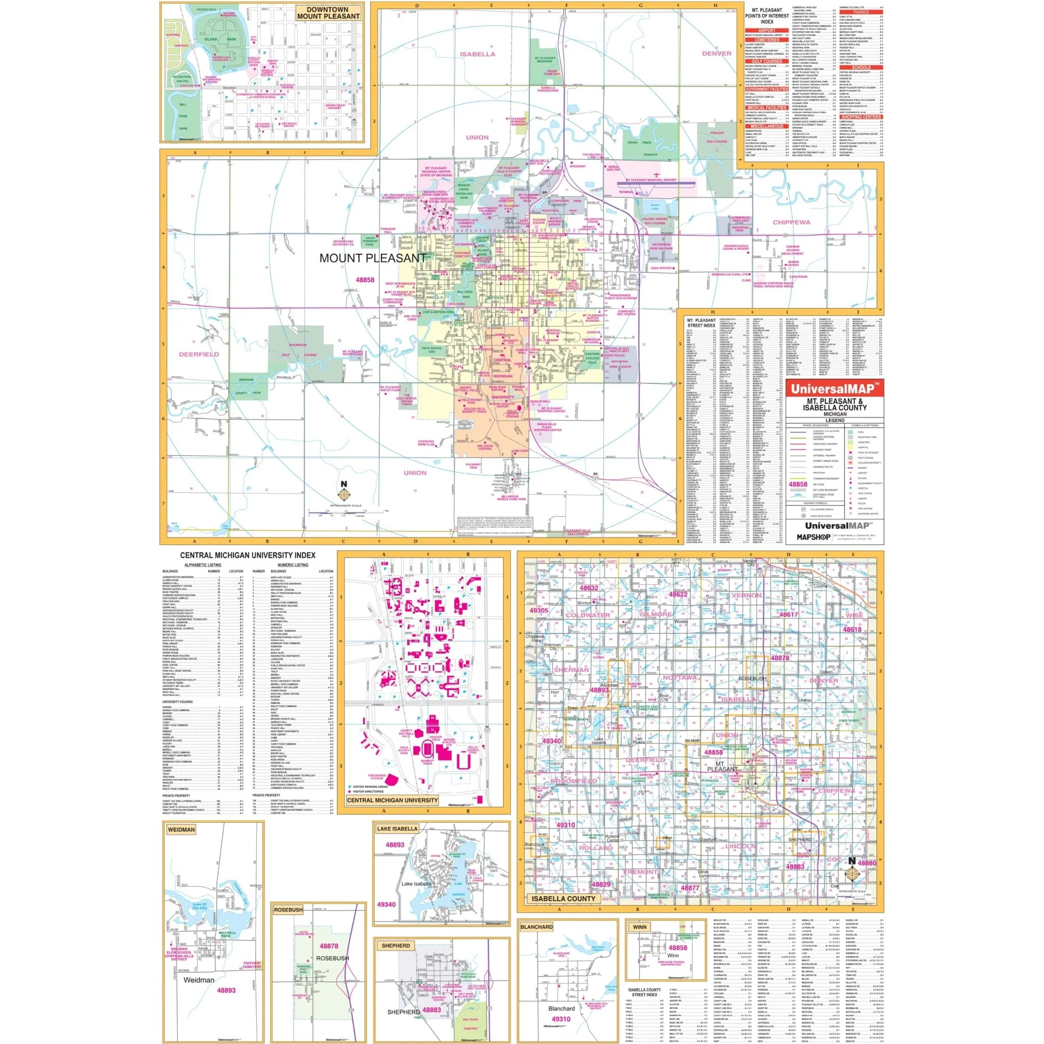


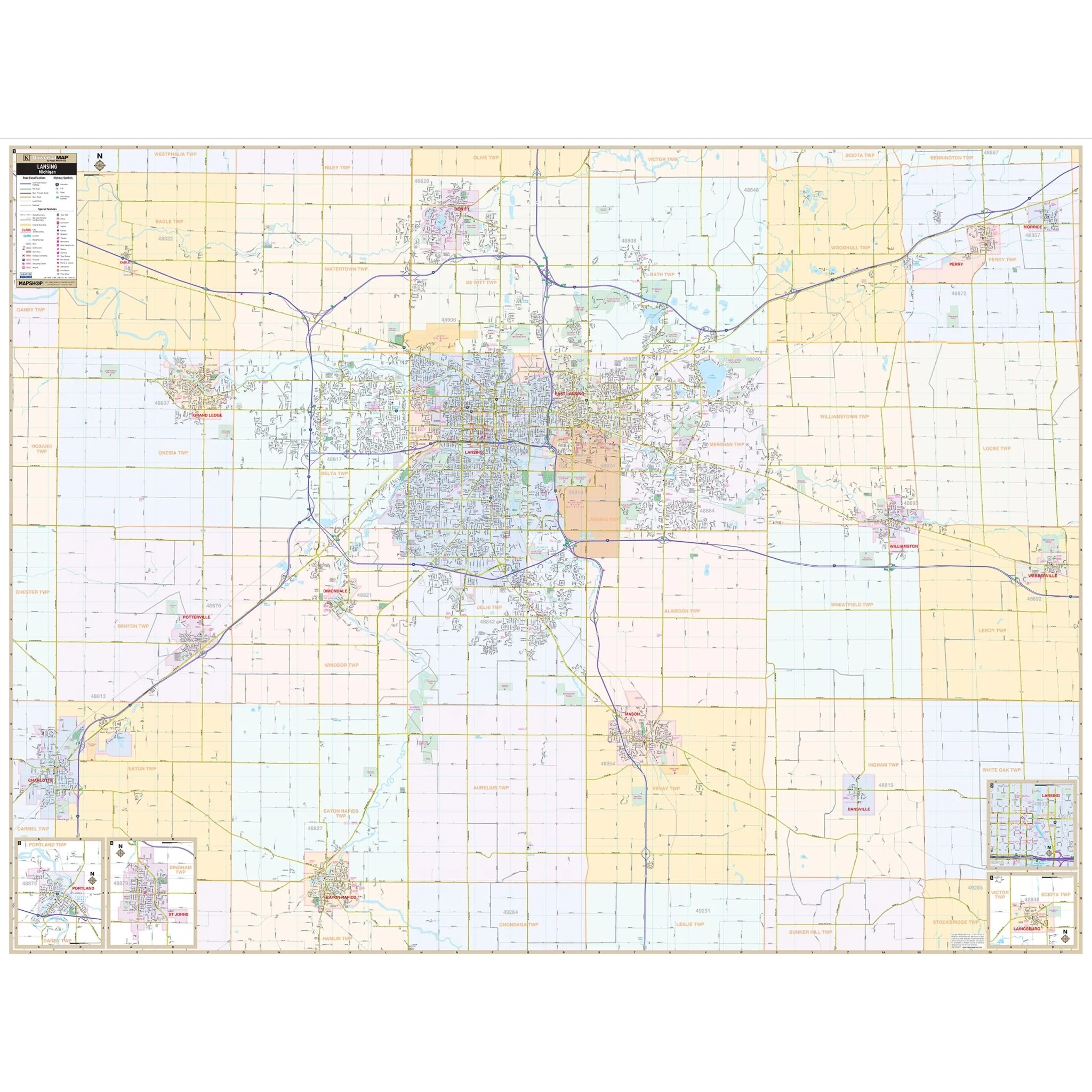
Lansing, MI Wall Map
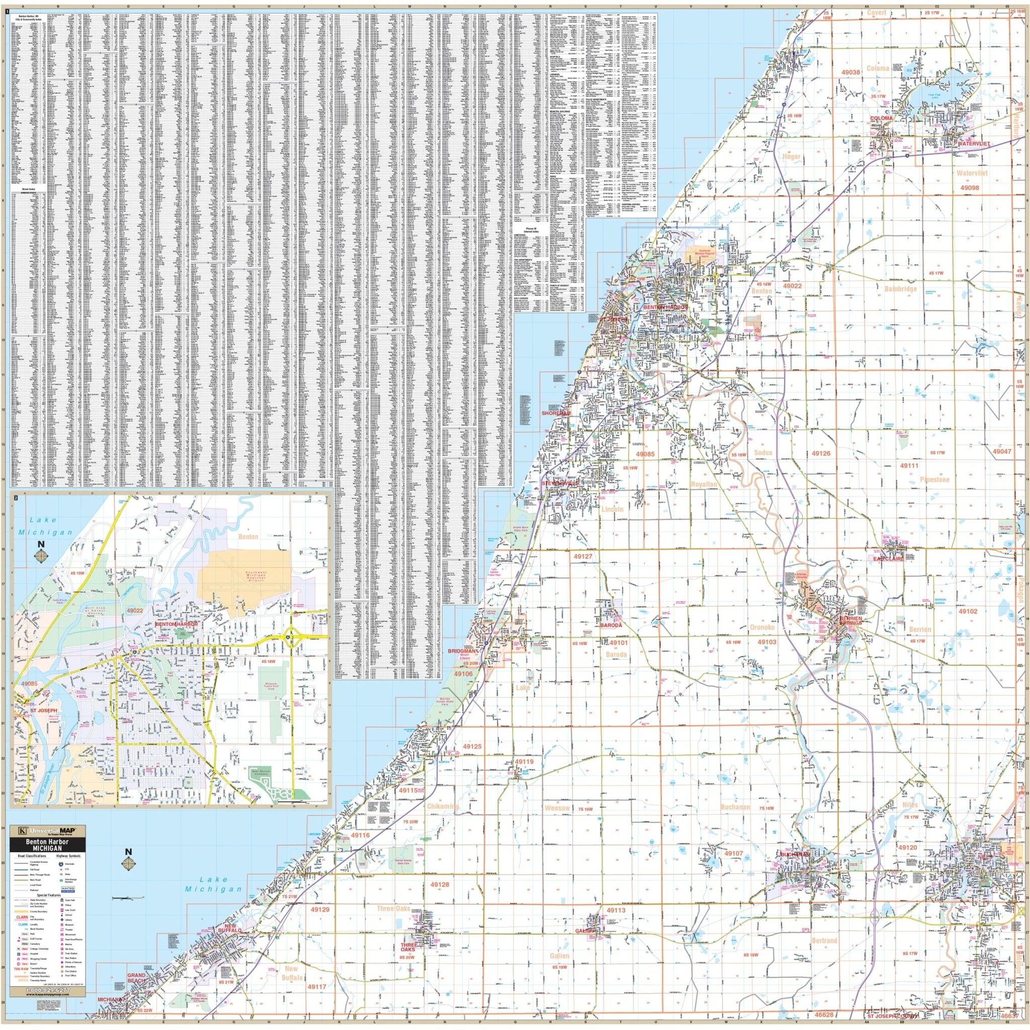
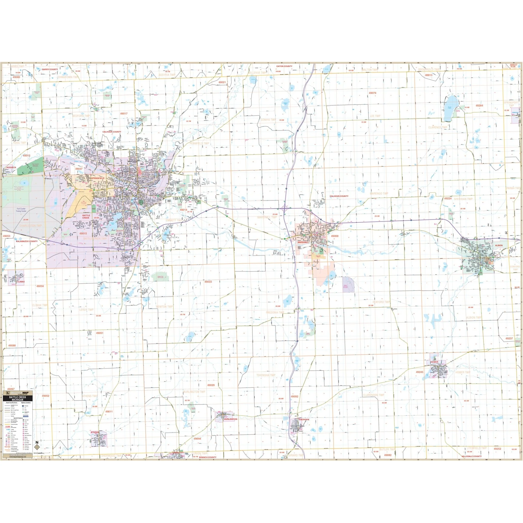
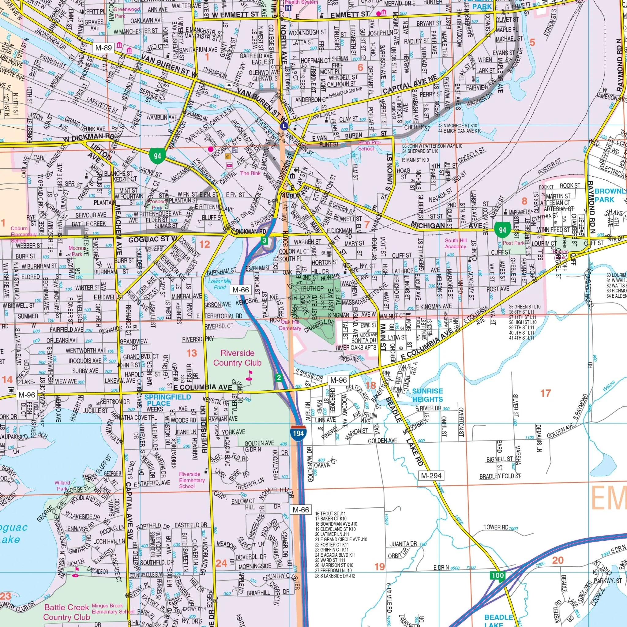
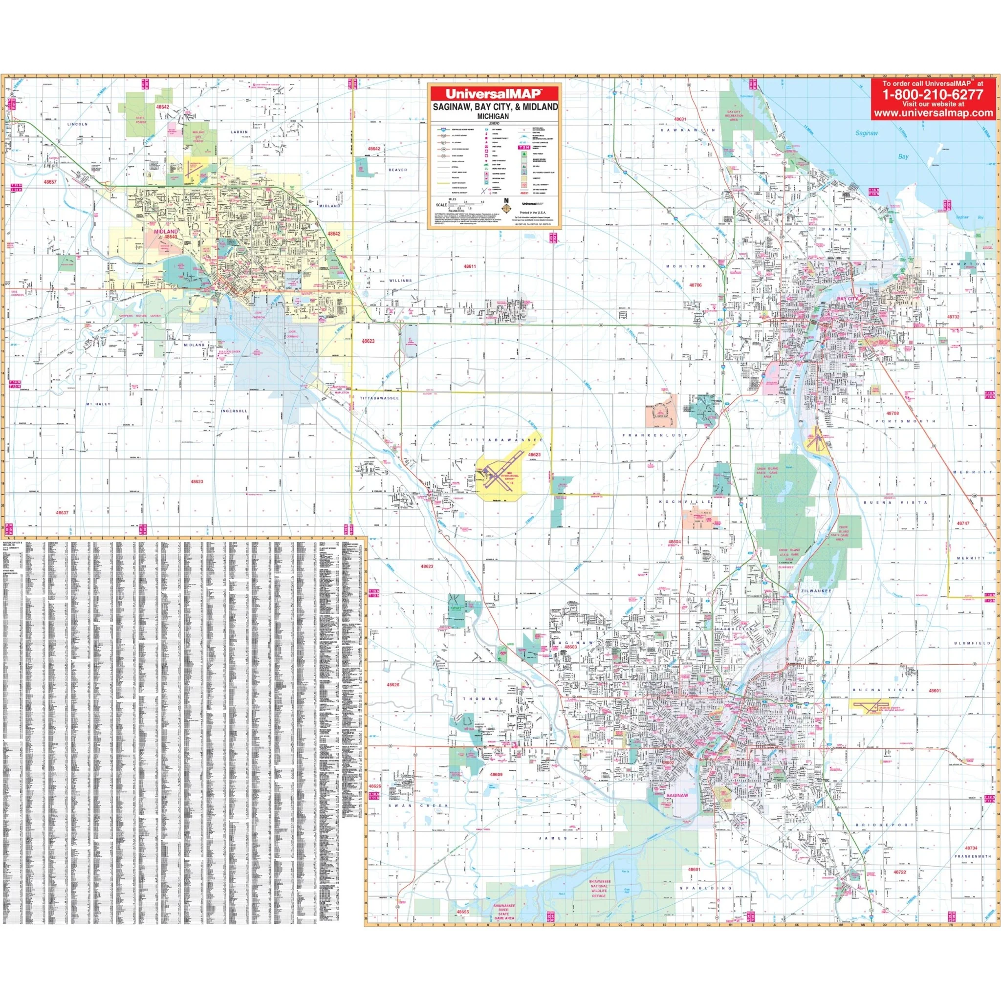
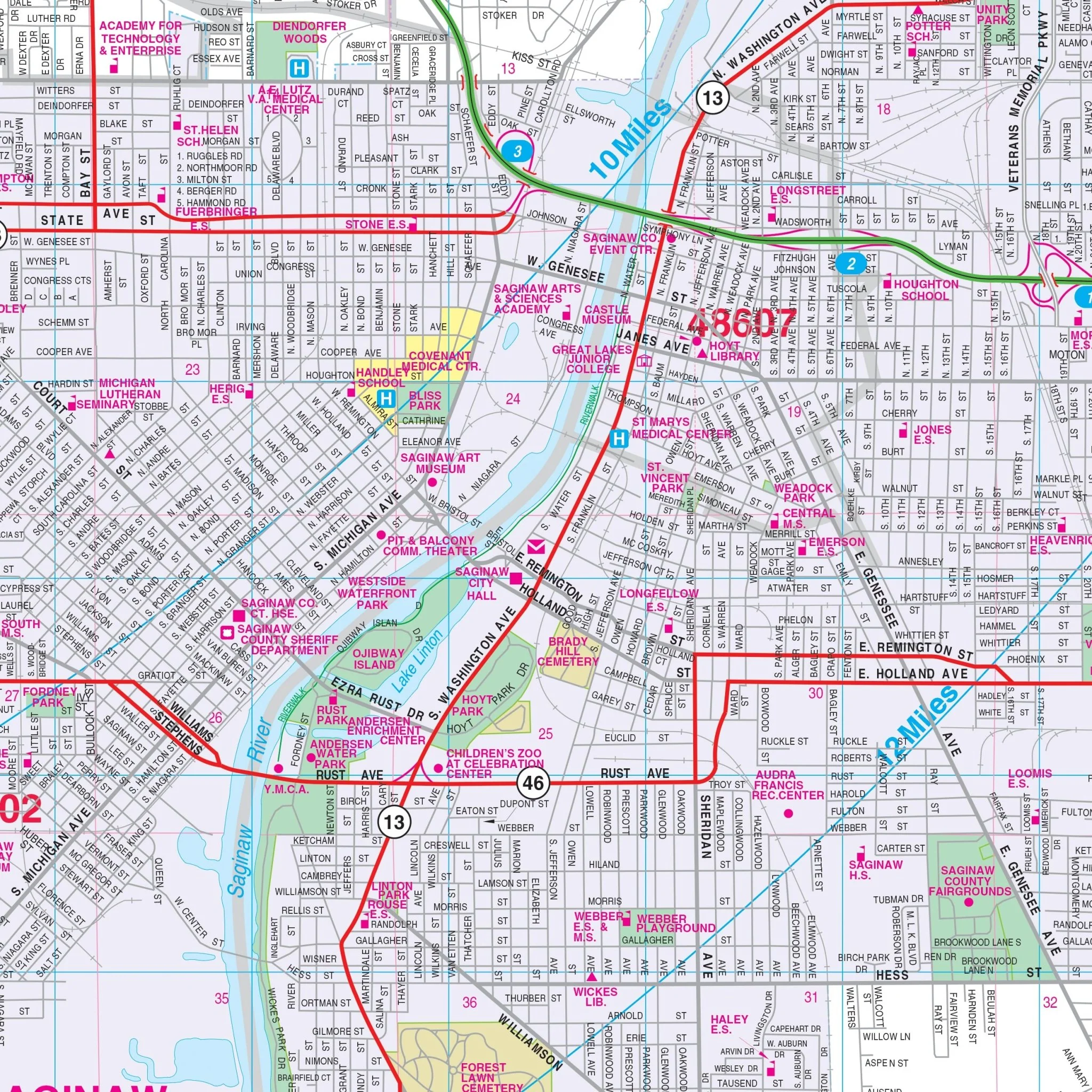
The Lansing, MI Wall Map, with adjacent areas, provides complete street detail.
The area of coverage includes all of the Lansing Metropolitan Area, with the following boundaries:
- North to DeWitt
- South to Eaton Rapids
- East to Webberville
- West to Charlotte
The Lansing, MI Wall Map also includes inset maps of Laingsburg, Portland, and St. Johns.
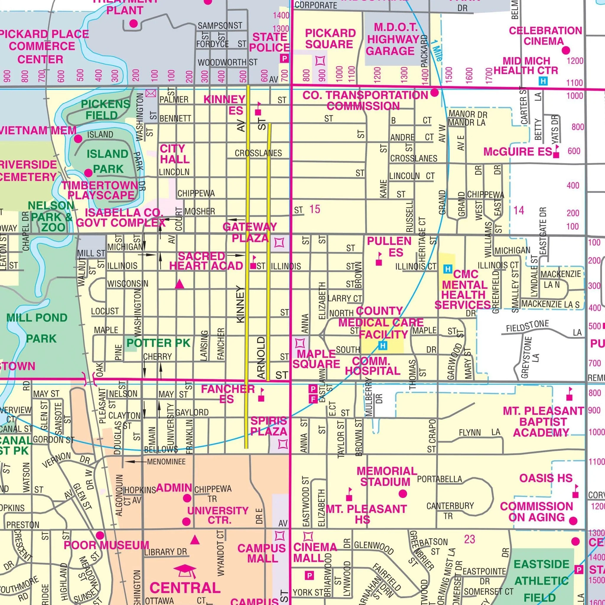
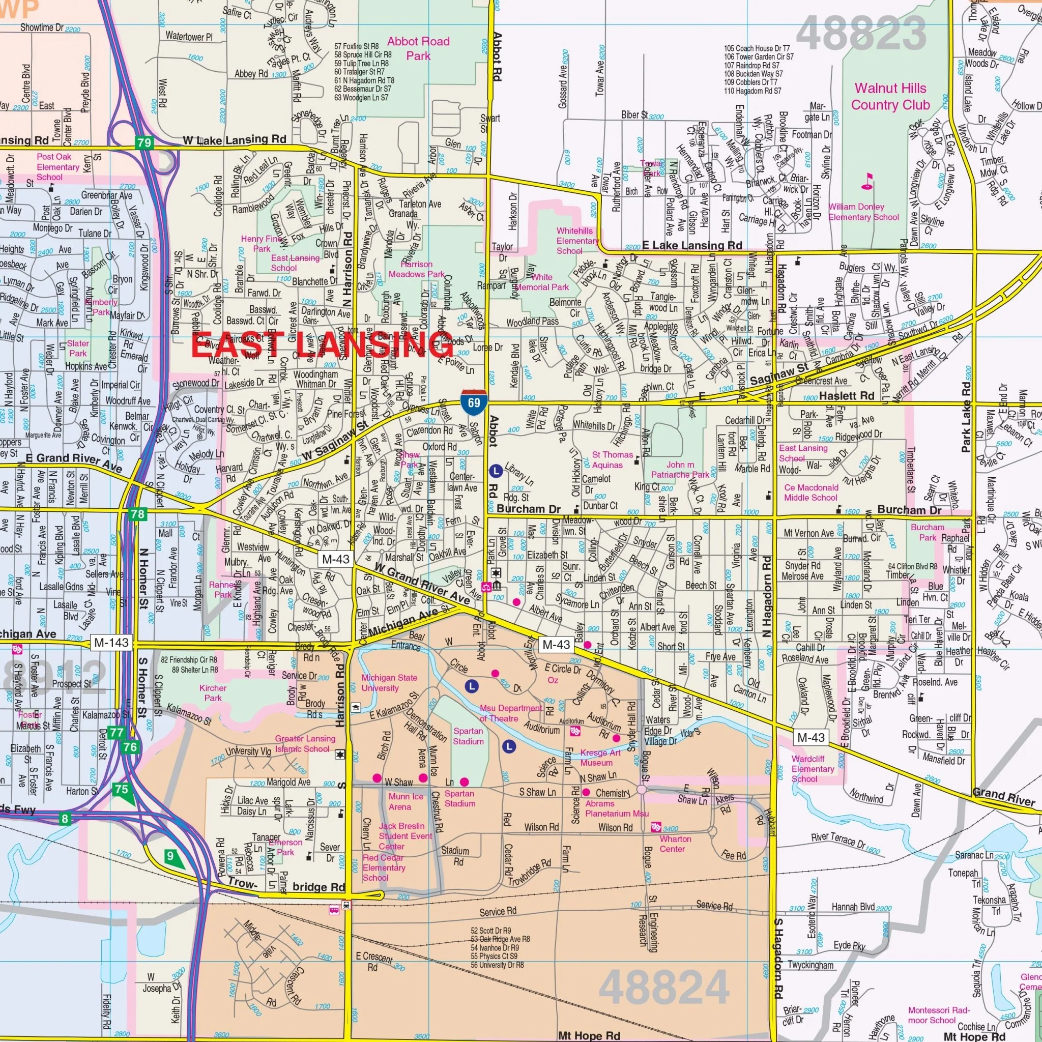
Details and features include: airports, block numbers, cemeteries, city limits (color-coded), educational institutions, golf & country clubs, government buildings, hospitals, libraries, points of interest, post offices, railroads, recreational parks, shopping centers, townships (color-coded), water features, zip code boundaries.
Size: 75.25" x 57"
Published: 2012
Original: $149.99
-70%$149.99
$45.00Product Information
Product Information
Shipping & Returns
Shipping & Returns
Description
The Lansing, MI Wall Map, with adjacent areas, provides complete street detail.
The area of coverage includes all of the Lansing Metropolitan Area, with the following boundaries:
- North to DeWitt
- South to Eaton Rapids
- East to Webberville
- West to Charlotte
The Lansing, MI Wall Map also includes inset maps of Laingsburg, Portland, and St. Johns.
Details and features include: airports, block numbers, cemeteries, city limits (color-coded), educational institutions, golf & country clubs, government buildings, hospitals, libraries, points of interest, post offices, railroads, recreational parks, shopping centers, townships (color-coded), water features, zip code boundaries.
Size: 75.25" x 57"
Published: 2012