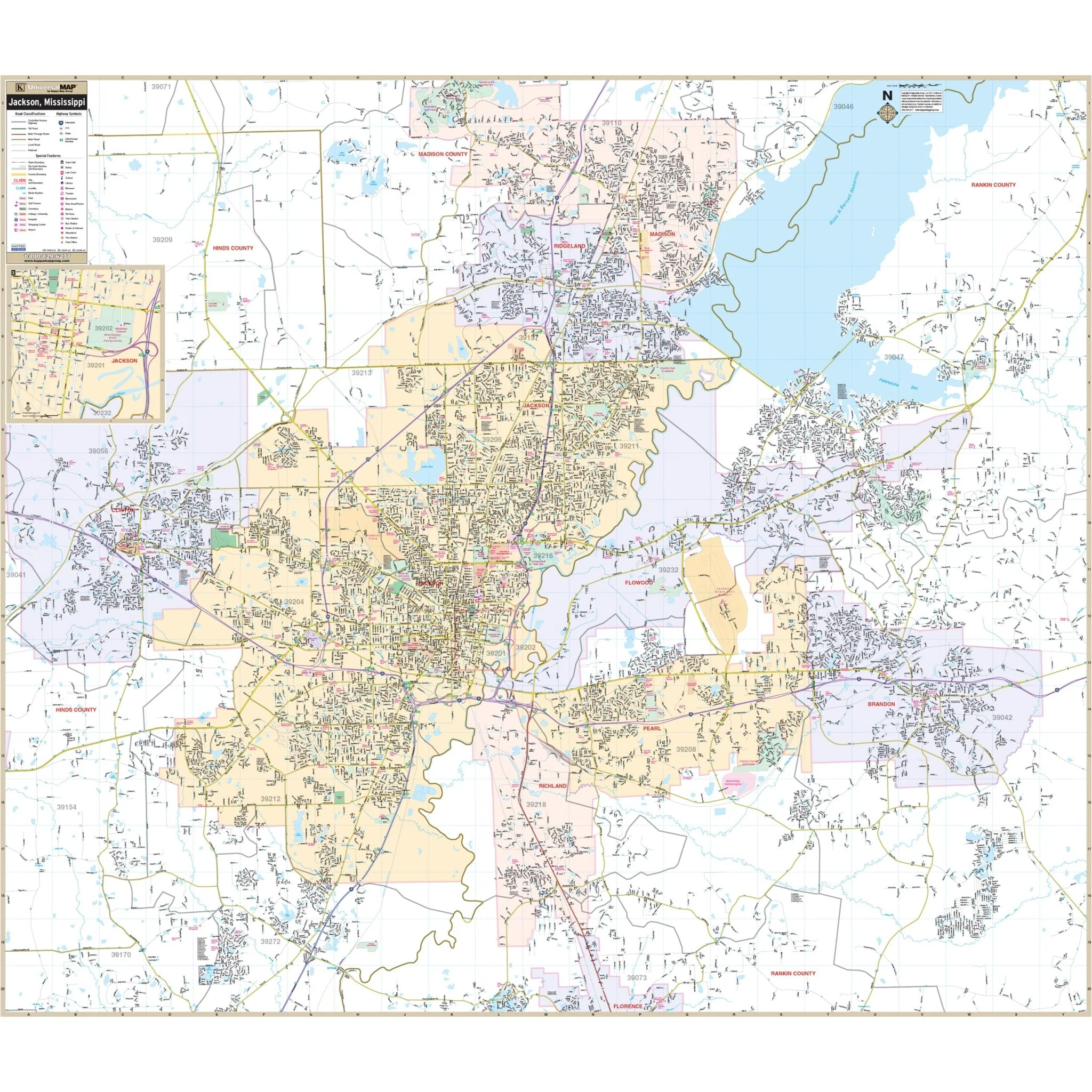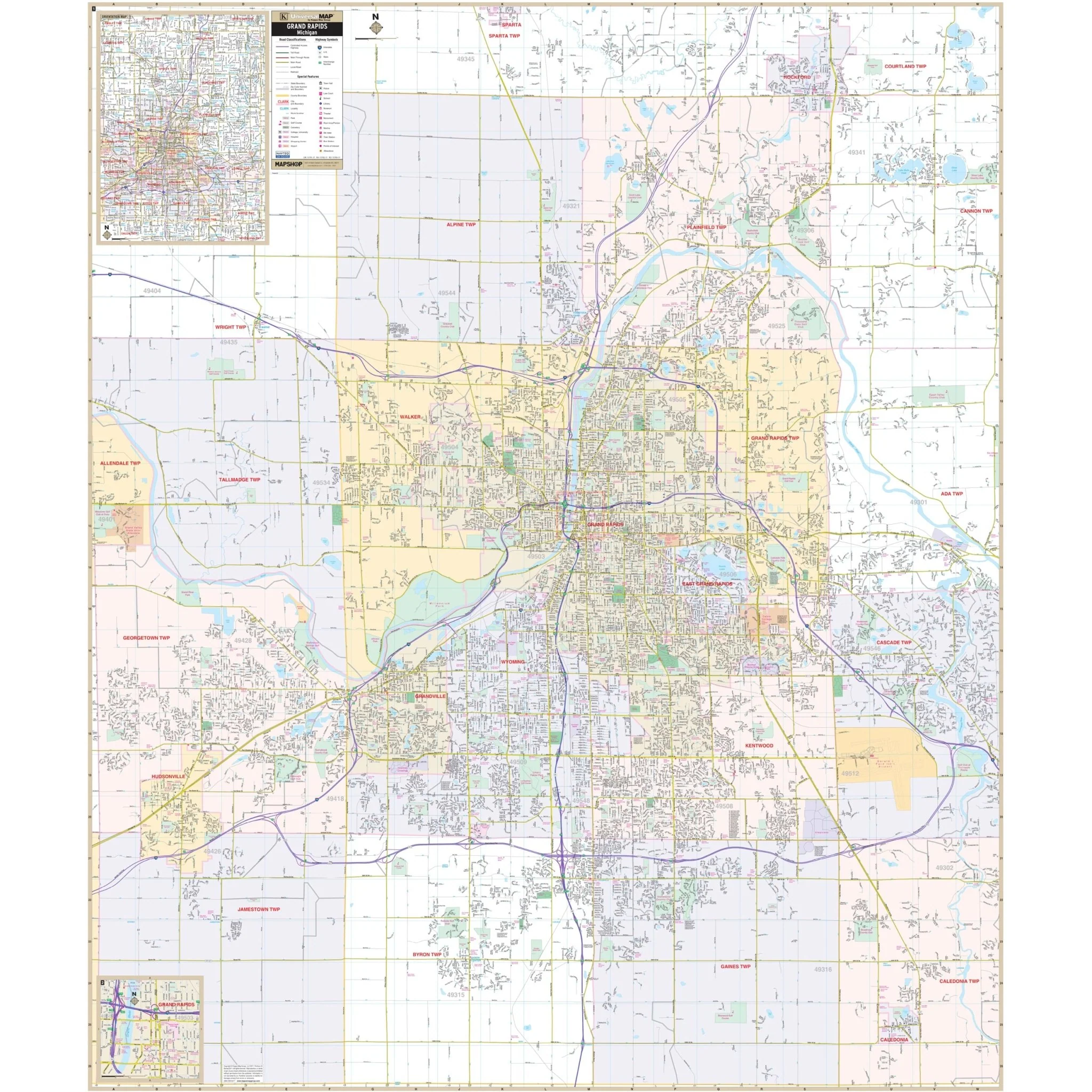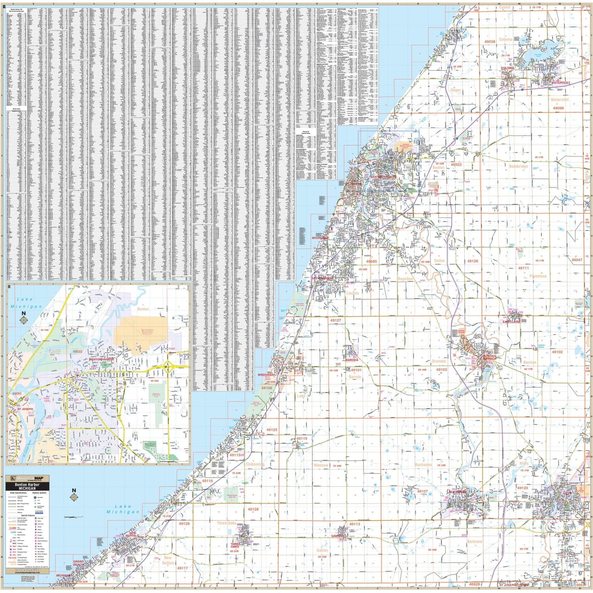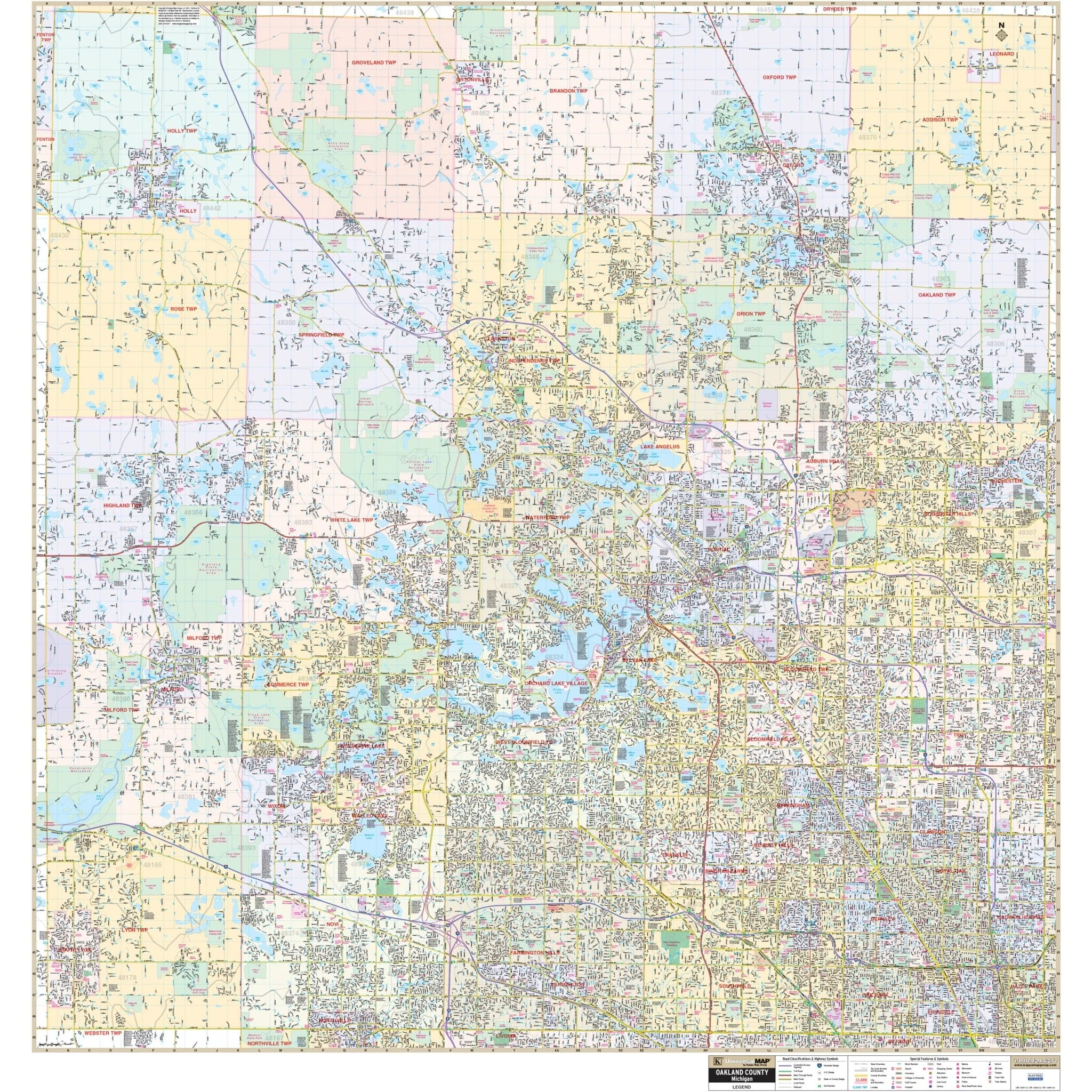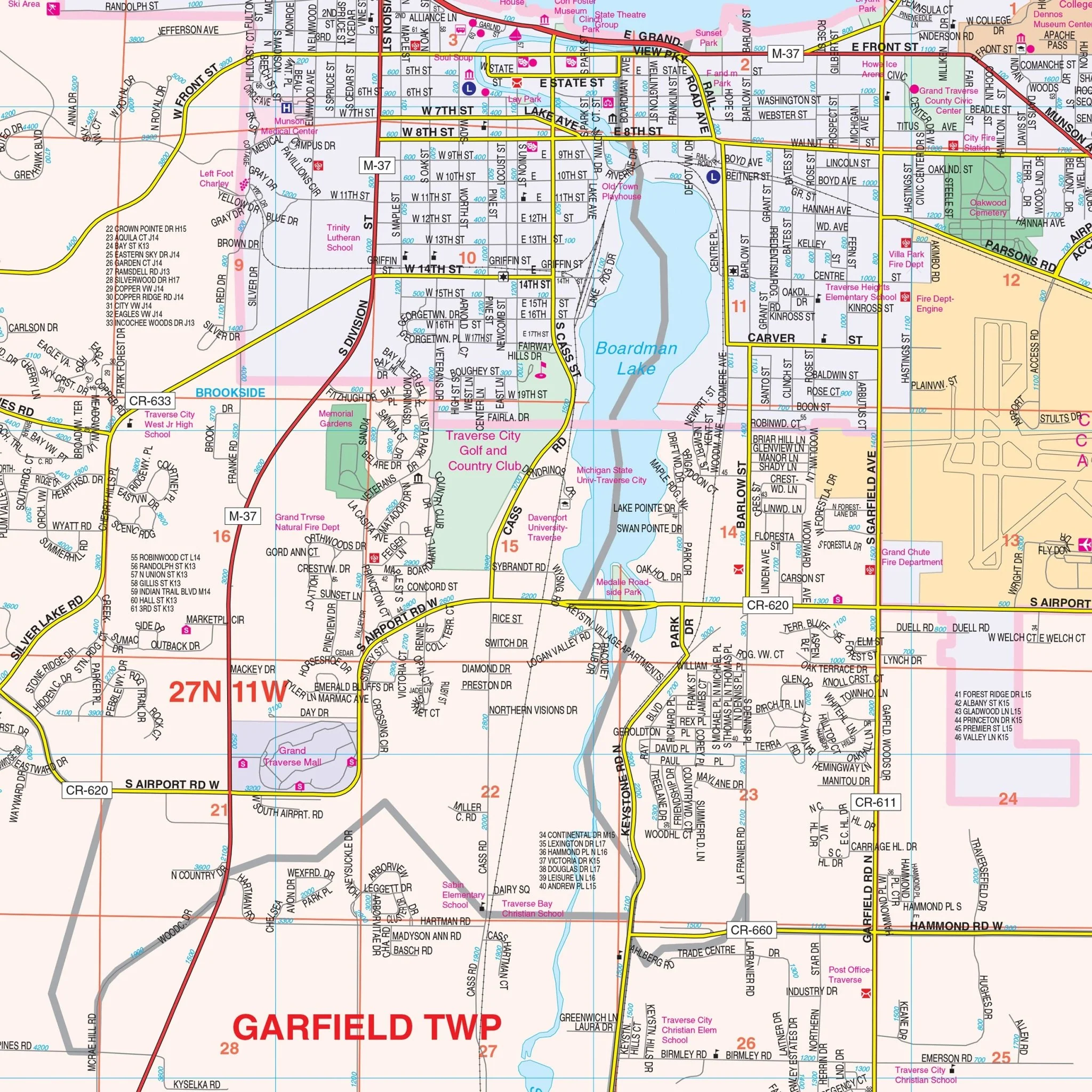


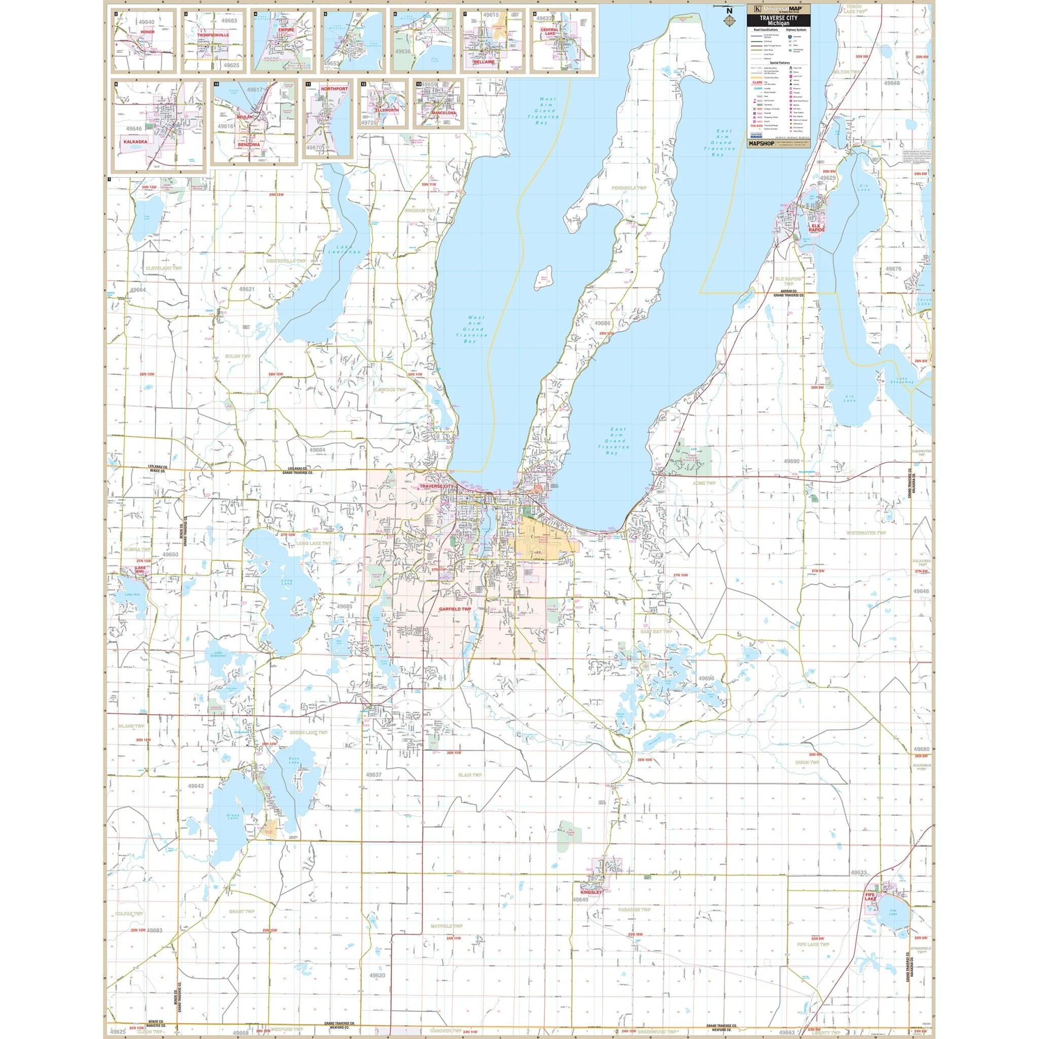


Traverse City & Grand Traverse County, MI Wall Map
The Traverse City, Grand Traverse Co., MI Wall Map is published by Kappa Map Group.
Area of coverage includes:
- All of Grand Traverse County with portions of Leelanau and Kalkaska Counties,
- Antrim County with the following boundaries:
- North: to include Lighthouse Park;
- South: to the Wexford County line;
- East: to the Kalkaska County line to include Elk Rapids in Antrim County;
- West: to the Benzie County line to include all of Lake Ann.
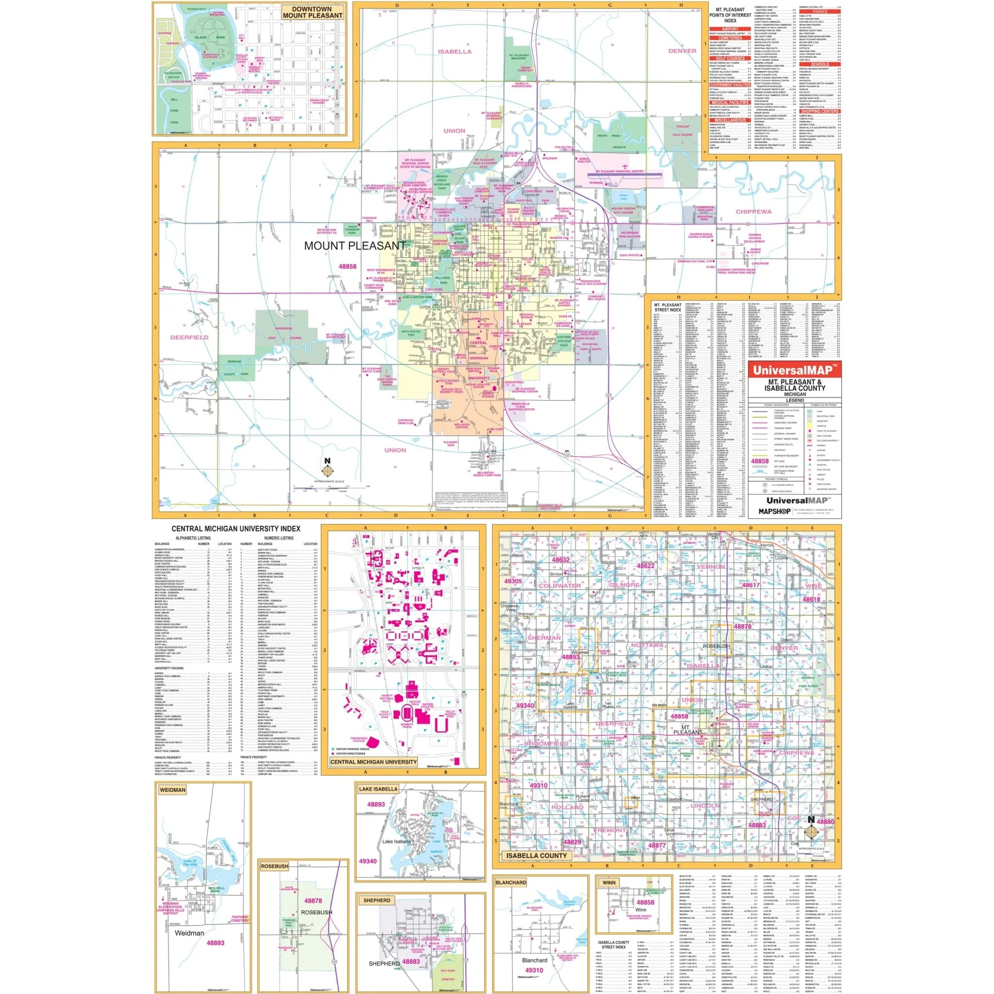
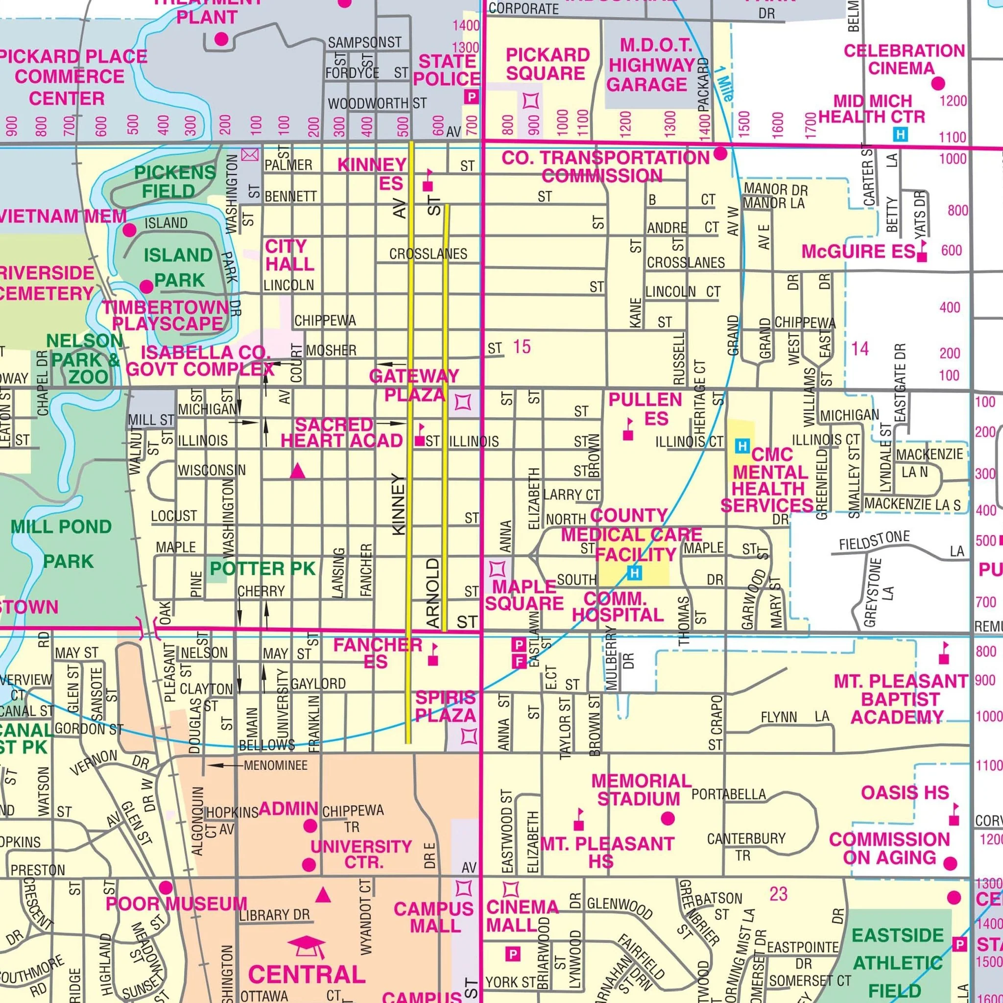
Details included on the map:
Streets & Highways, Government Buildings, Airports, Water Features, Fire & Police Stations, Hospitals, Shopping Centers, Educational Institutions, Railroads, Recreational Parks, Golf and Country Clubs, ZIP Codes & Boundaries, Libraries, Block Numbers & City limits ( color coded ).
Size: 54" x 67"
Published: 2013
Original: $149.99
-70%$149.99
$45.00Product Information
Product Information
Shipping & Returns
Shipping & Returns
Description
The Traverse City, Grand Traverse Co., MI Wall Map is published by Kappa Map Group.
Area of coverage includes:
- All of Grand Traverse County with portions of Leelanau and Kalkaska Counties,
- Antrim County with the following boundaries:
- North: to include Lighthouse Park;
- South: to the Wexford County line;
- East: to the Kalkaska County line to include Elk Rapids in Antrim County;
- West: to the Benzie County line to include all of Lake Ann.
Details included on the map:
Streets & Highways, Government Buildings, Airports, Water Features, Fire & Police Stations, Hospitals, Shopping Centers, Educational Institutions, Railroads, Recreational Parks, Golf and Country Clubs, ZIP Codes & Boundaries, Libraries, Block Numbers & City limits ( color coded ).
Size: 54" x 67"
Published: 2013