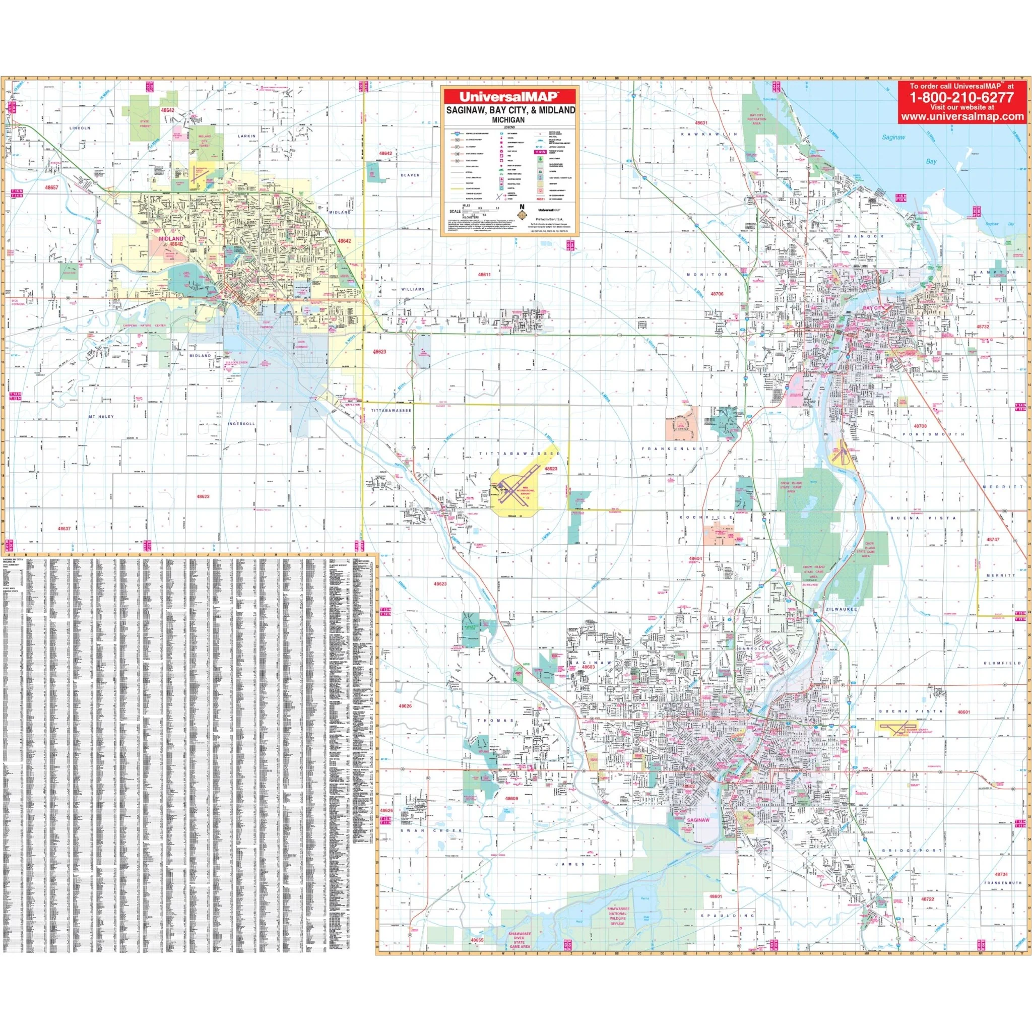


Saginaw, Bay City & Midland, MI Wall Map
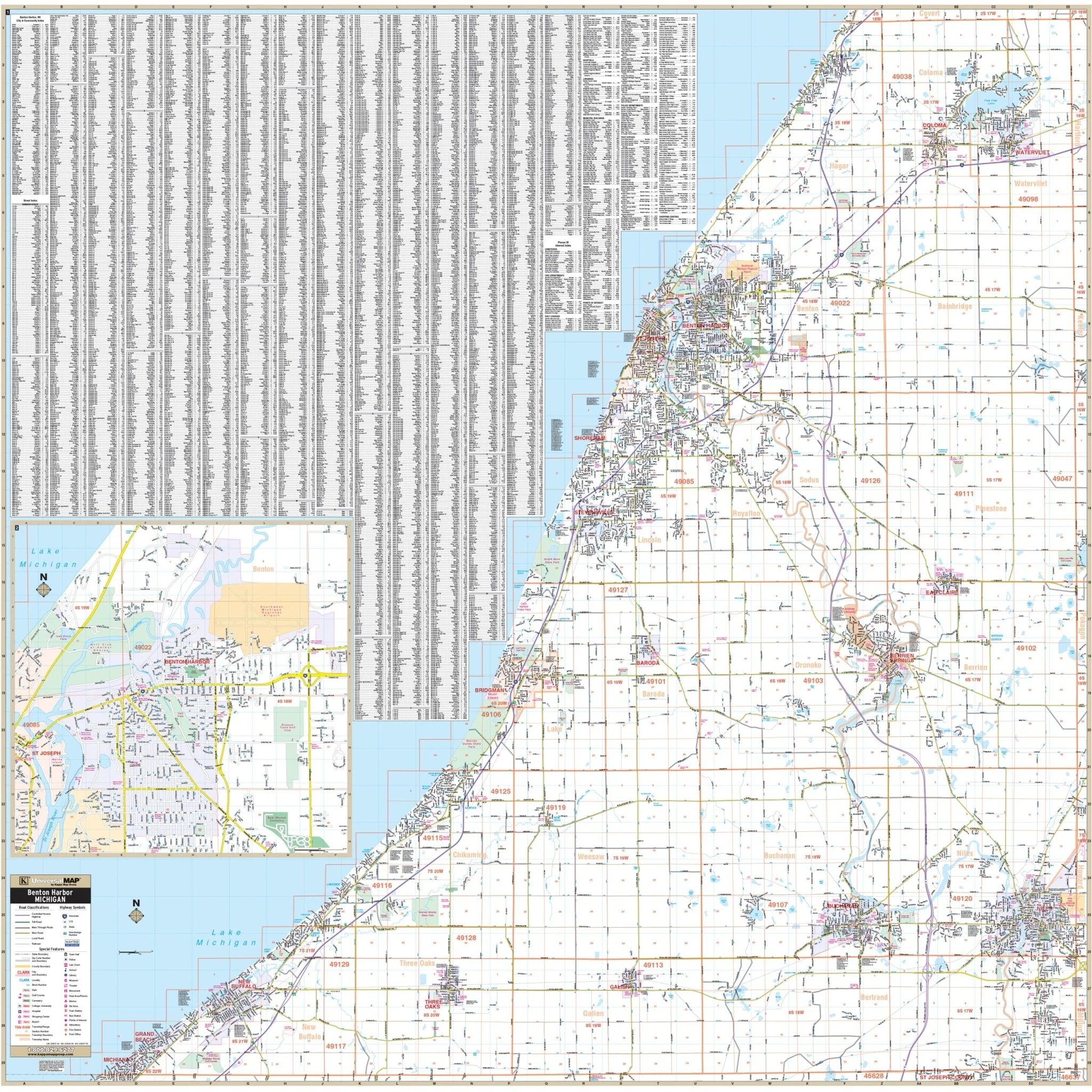
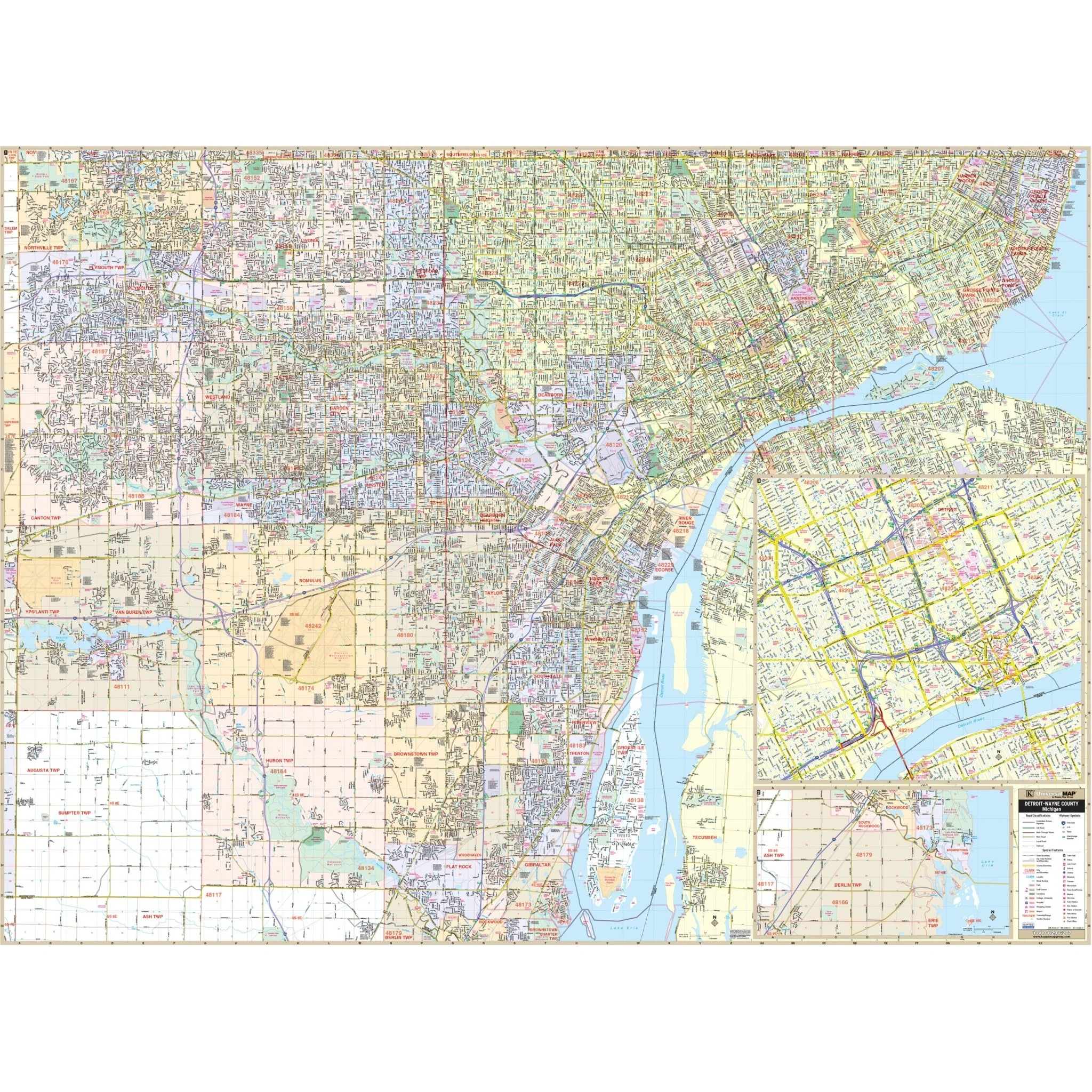
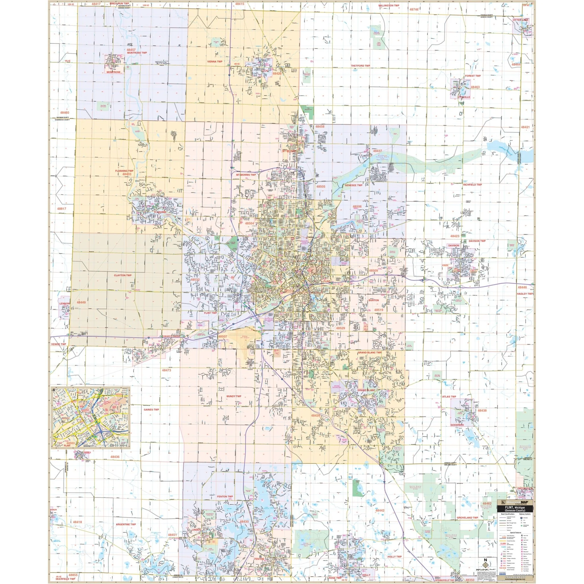
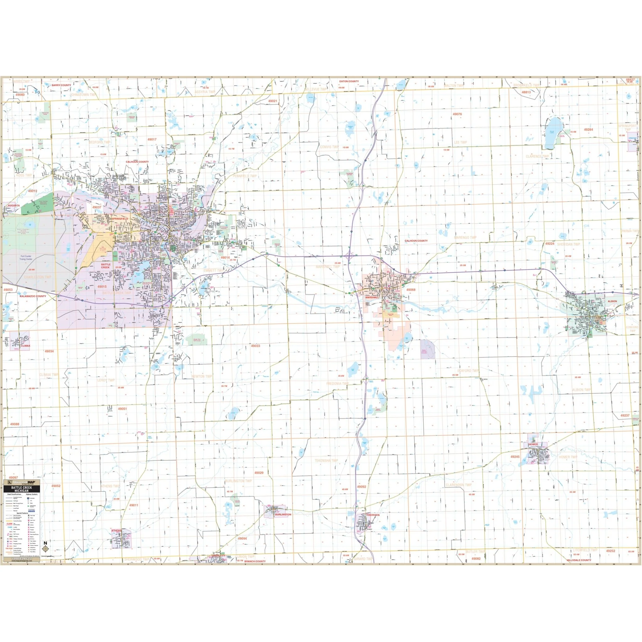
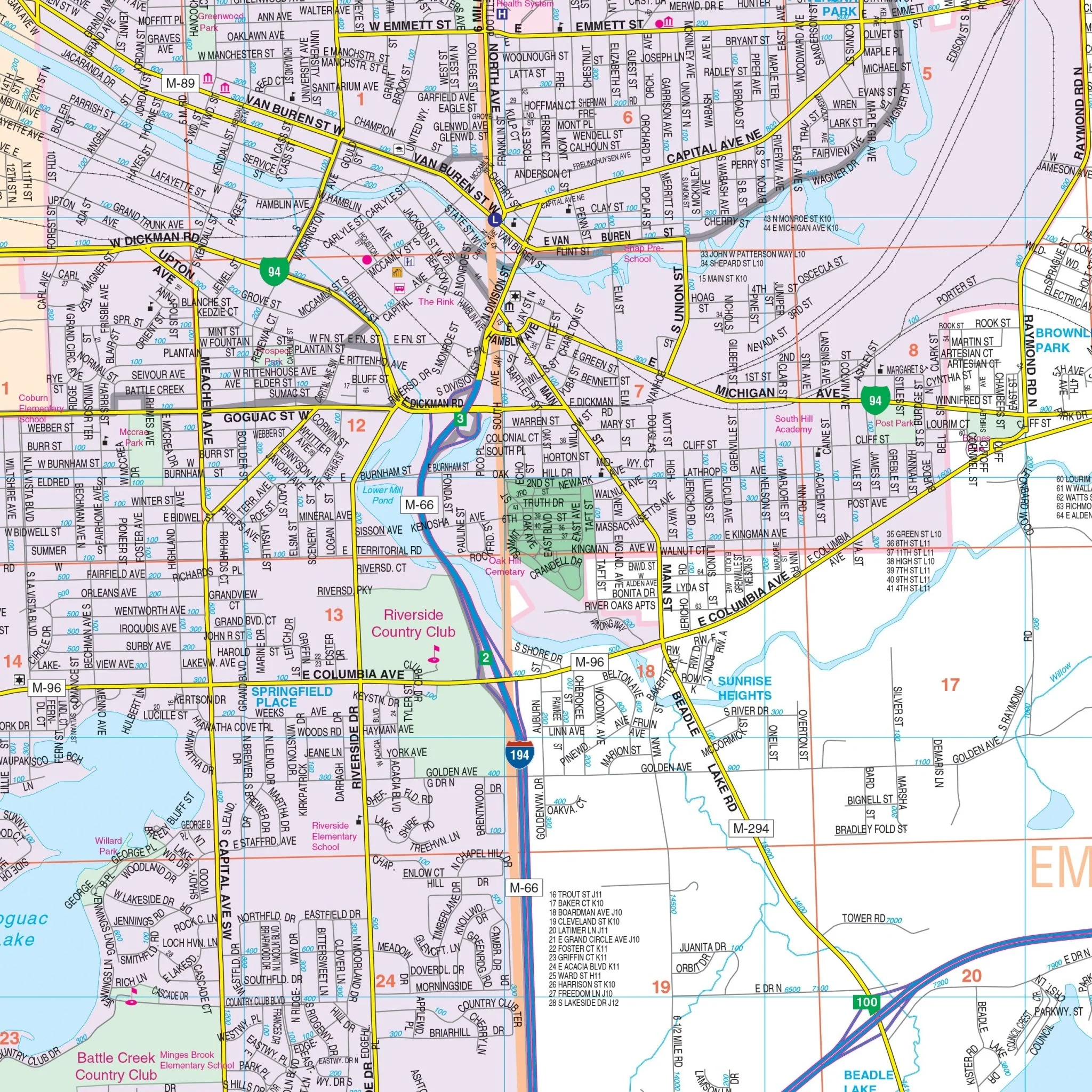
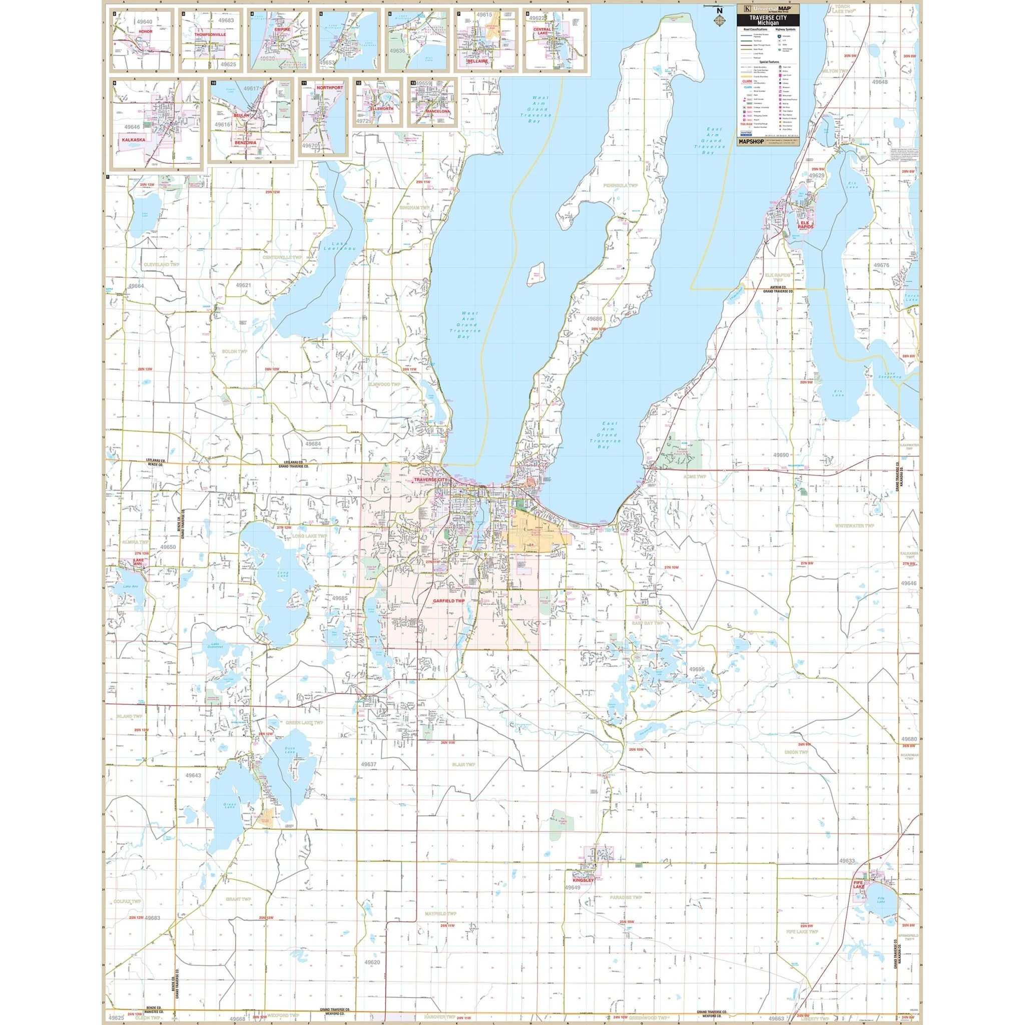
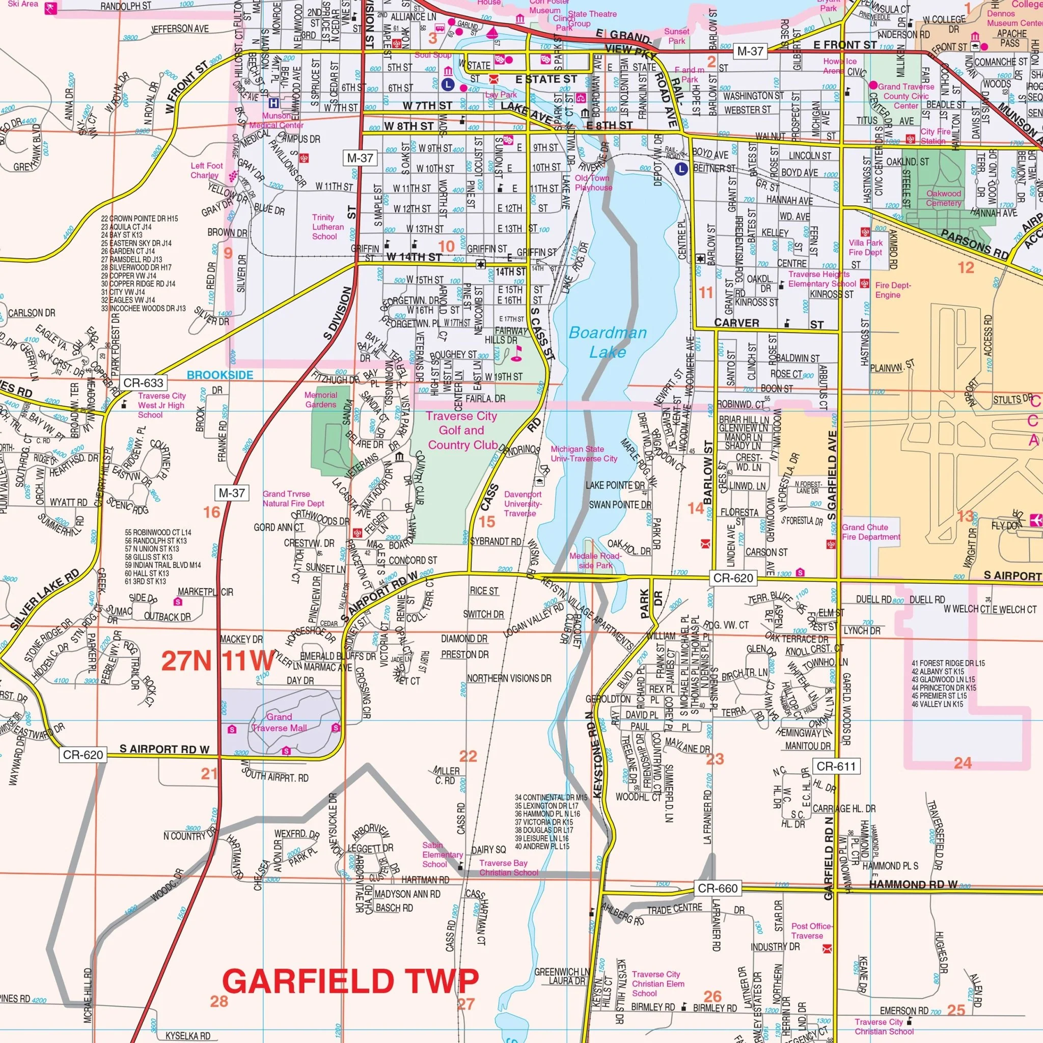
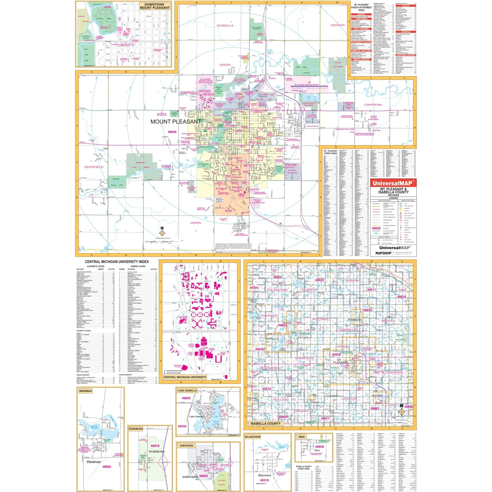
The Saginaw, Midland, and Bay City, Michigan Wall Map is published by Universal Map.
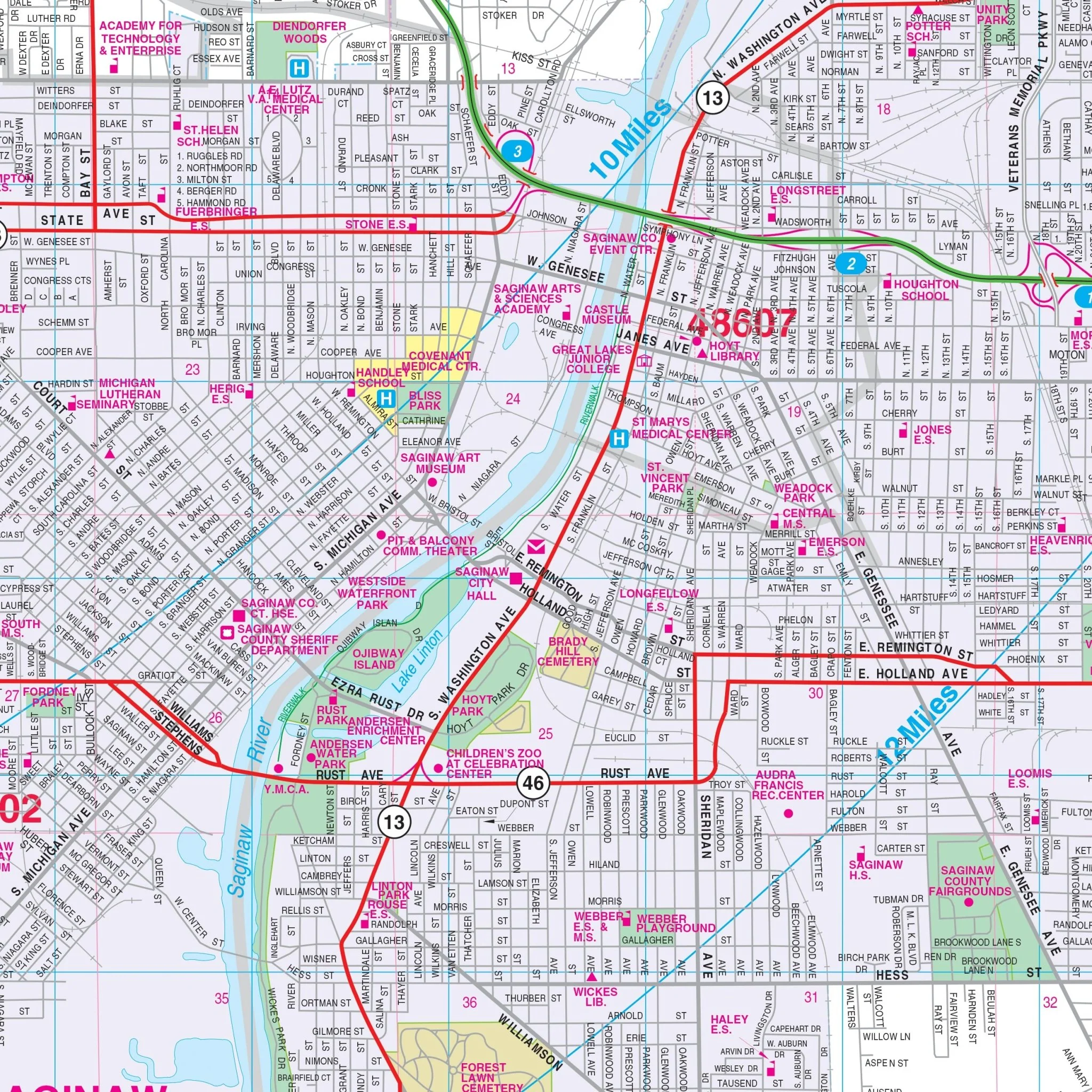
Streets are indexed on the face of the map.
Area of coverage:
- North: Bay City Recreation area; 3 miles north of Midland city limits;
- South: Shiawassee national wildlife refuge; Exit 144 on I-75;
- East: 2 " miles east of Essexville;
- West: 3 miles west of Midland city limits.
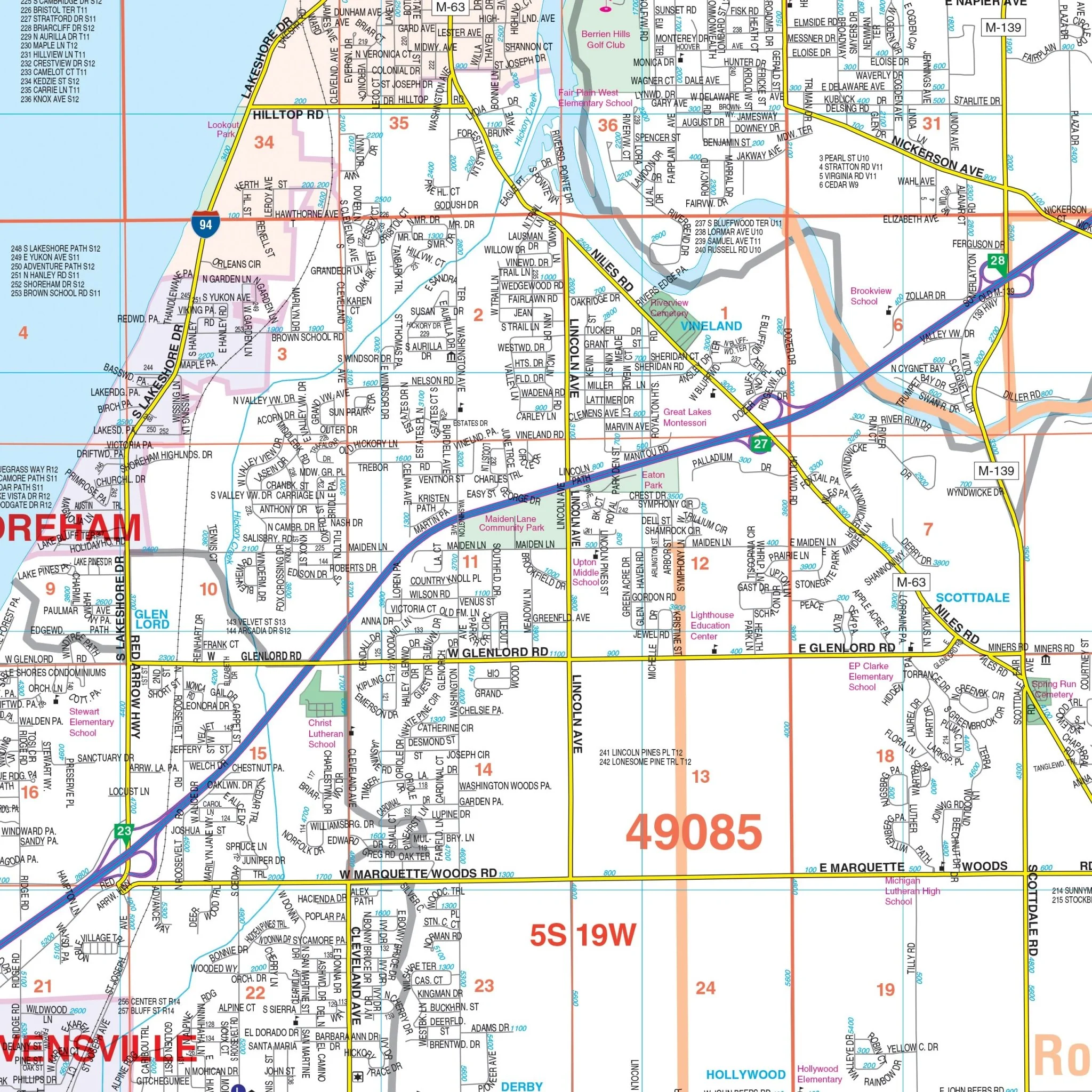
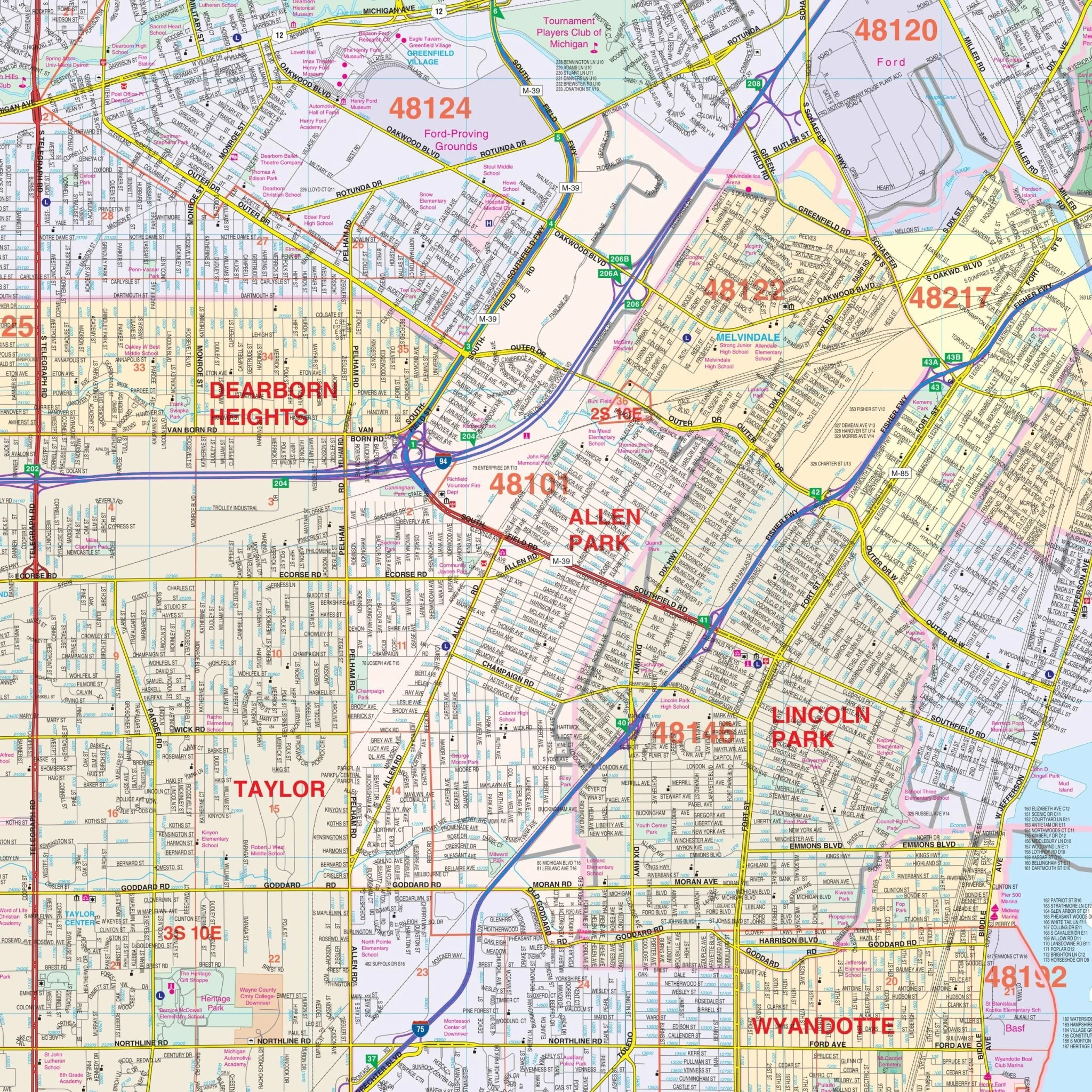
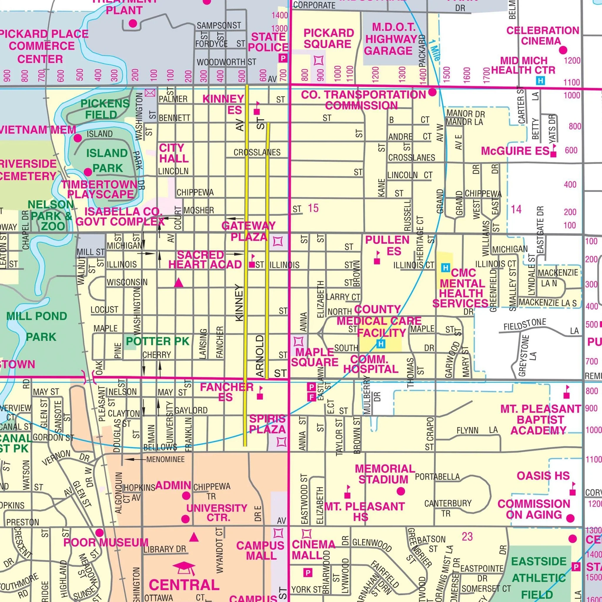
Details included on the map:
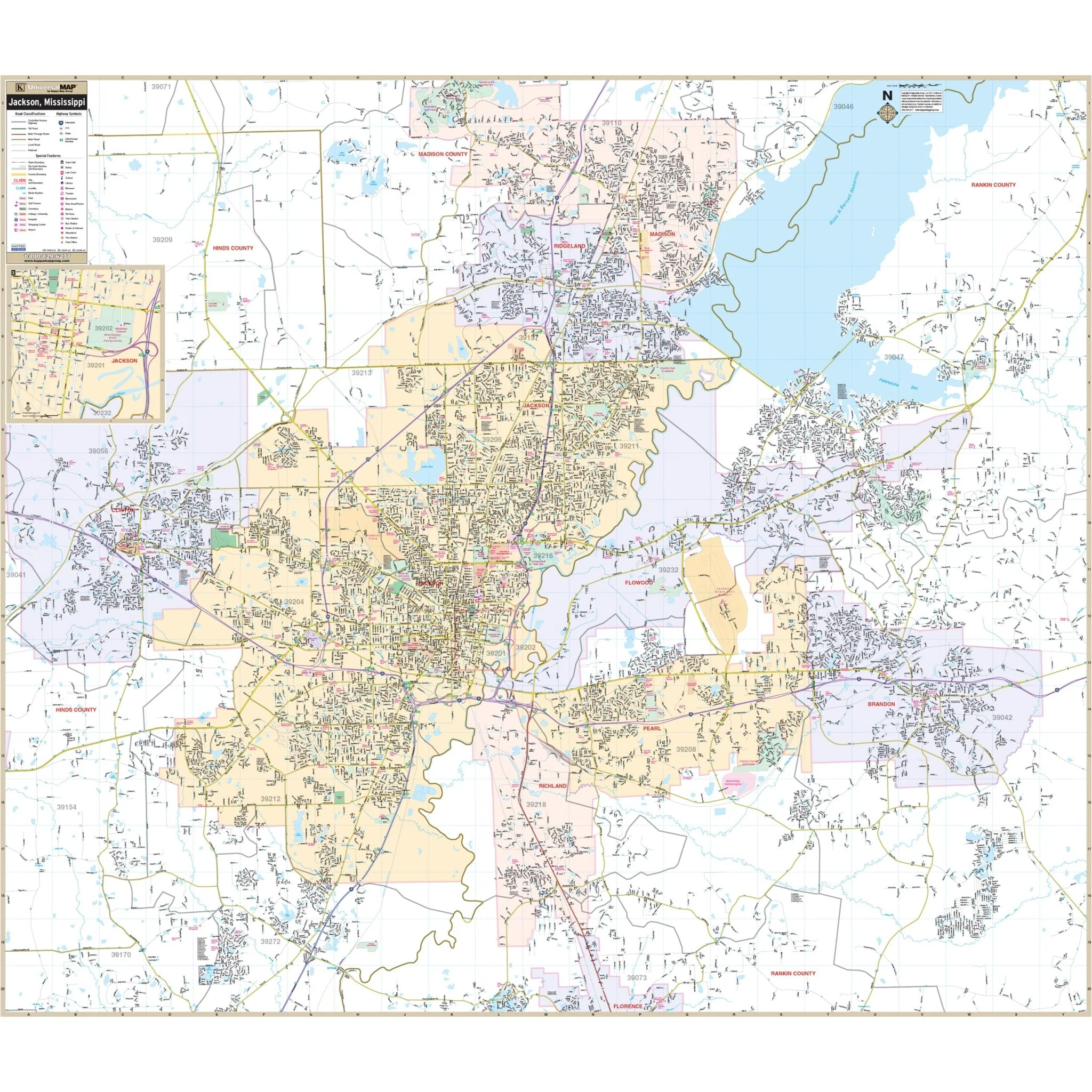
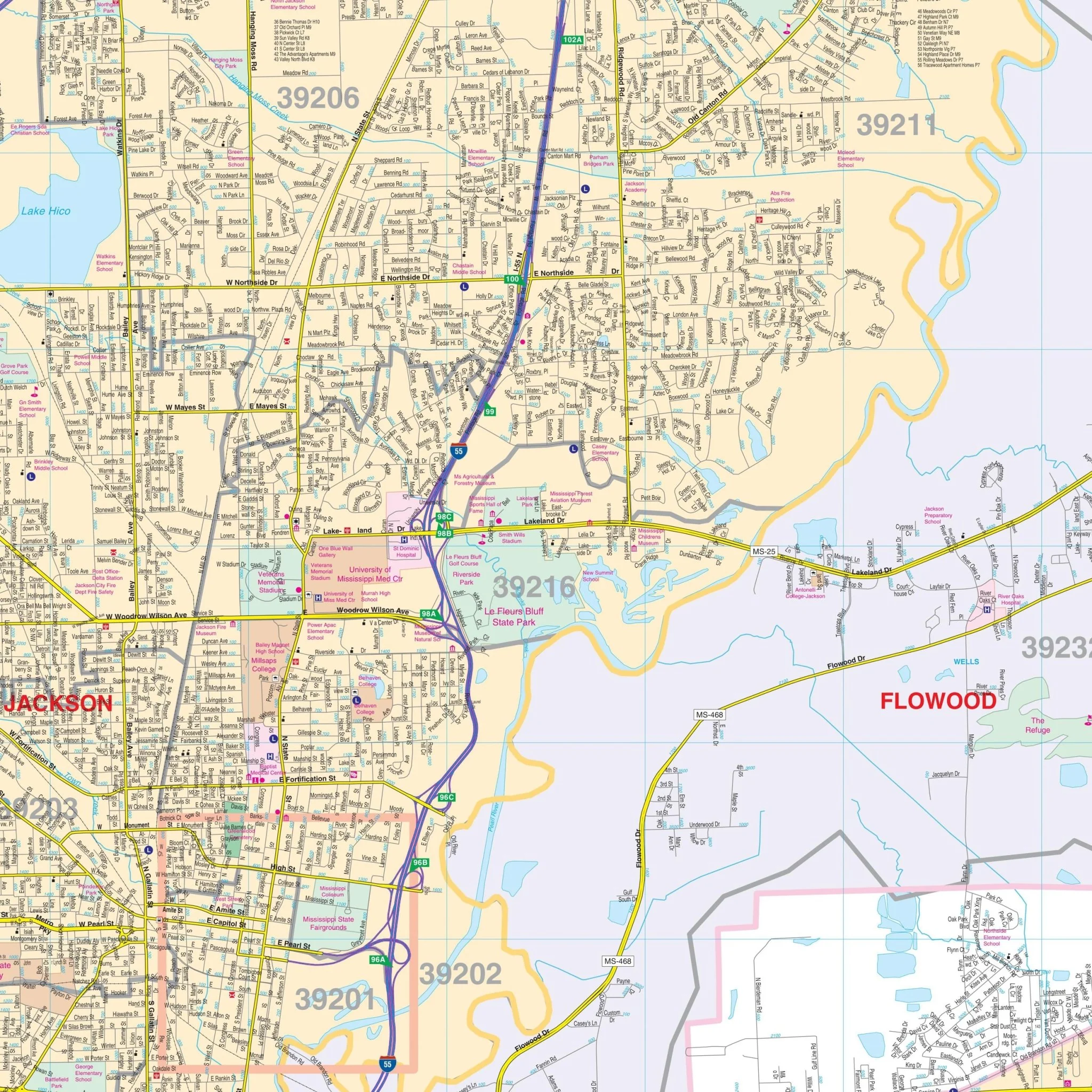
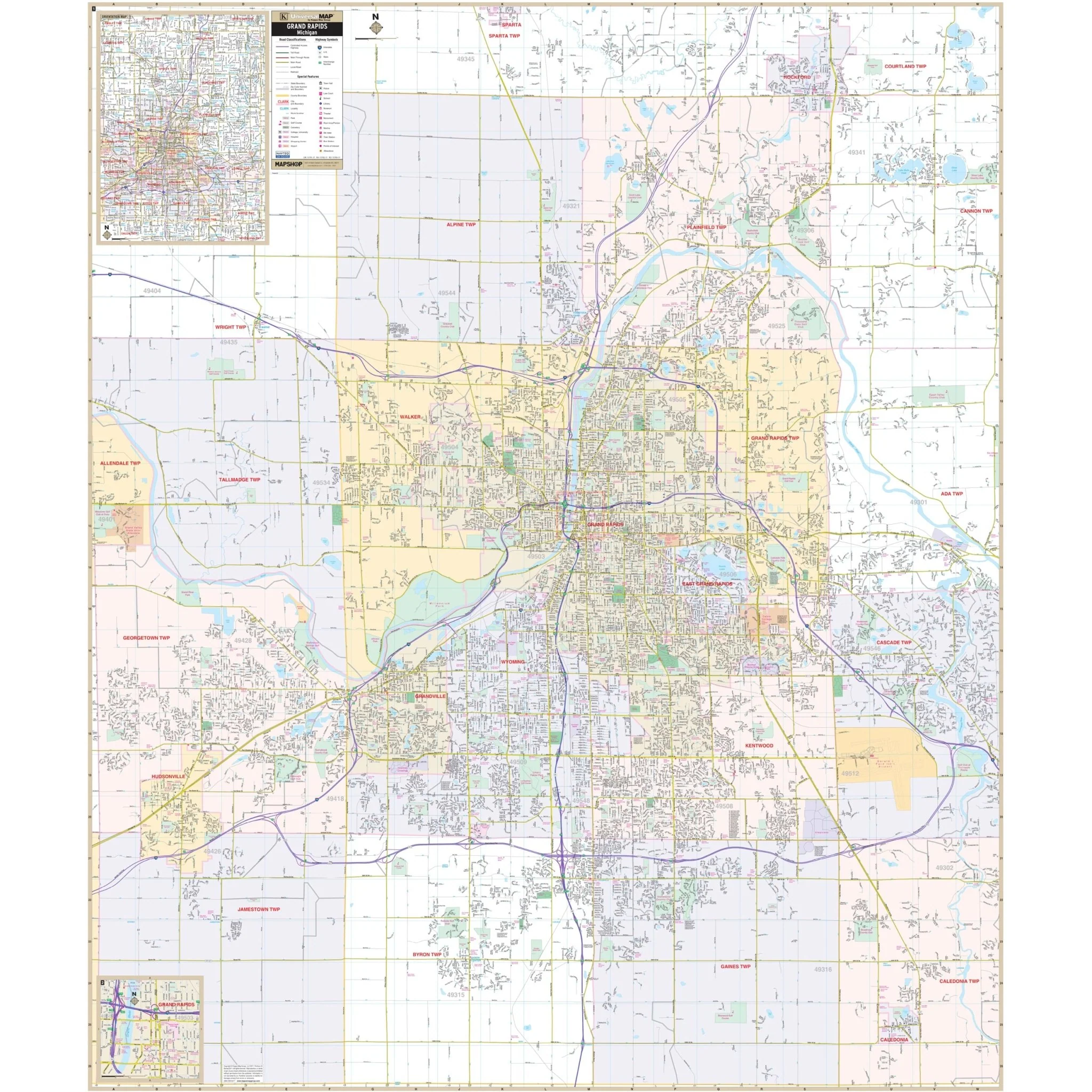
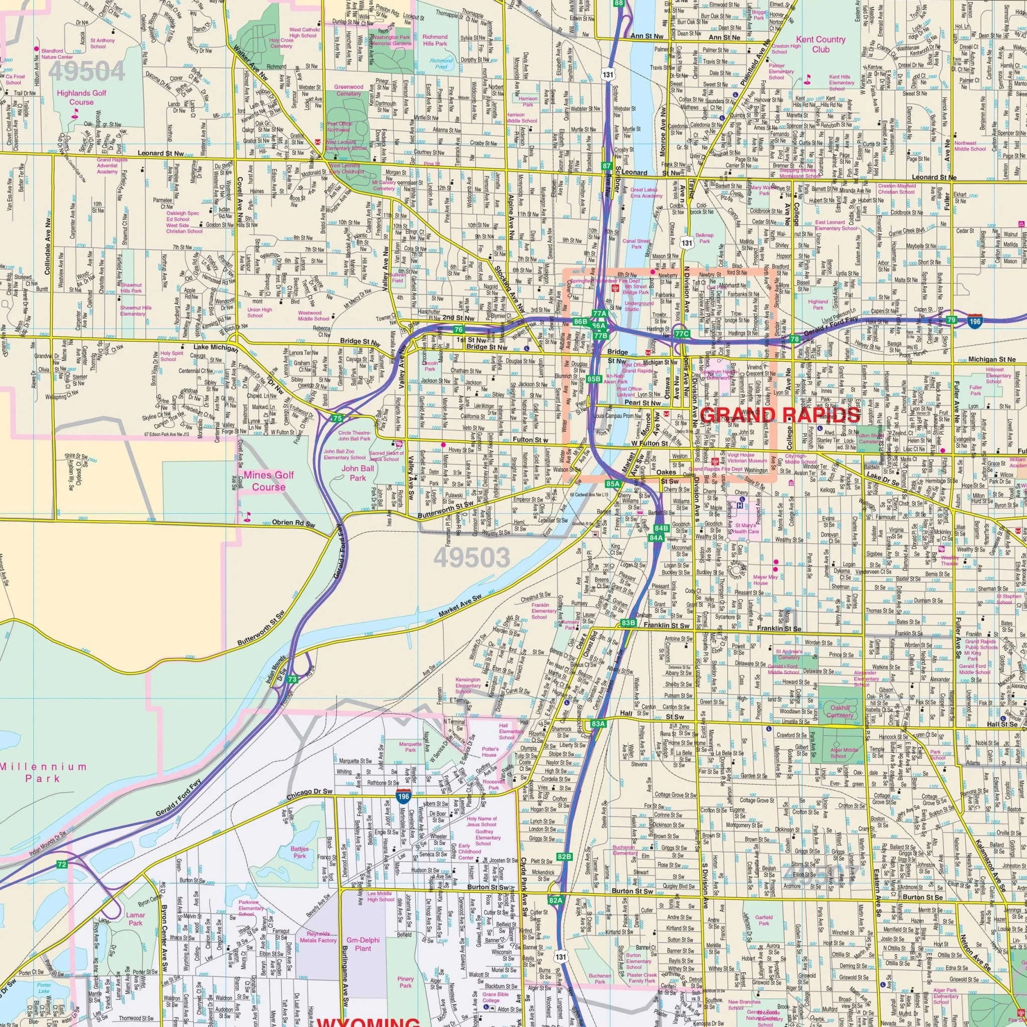
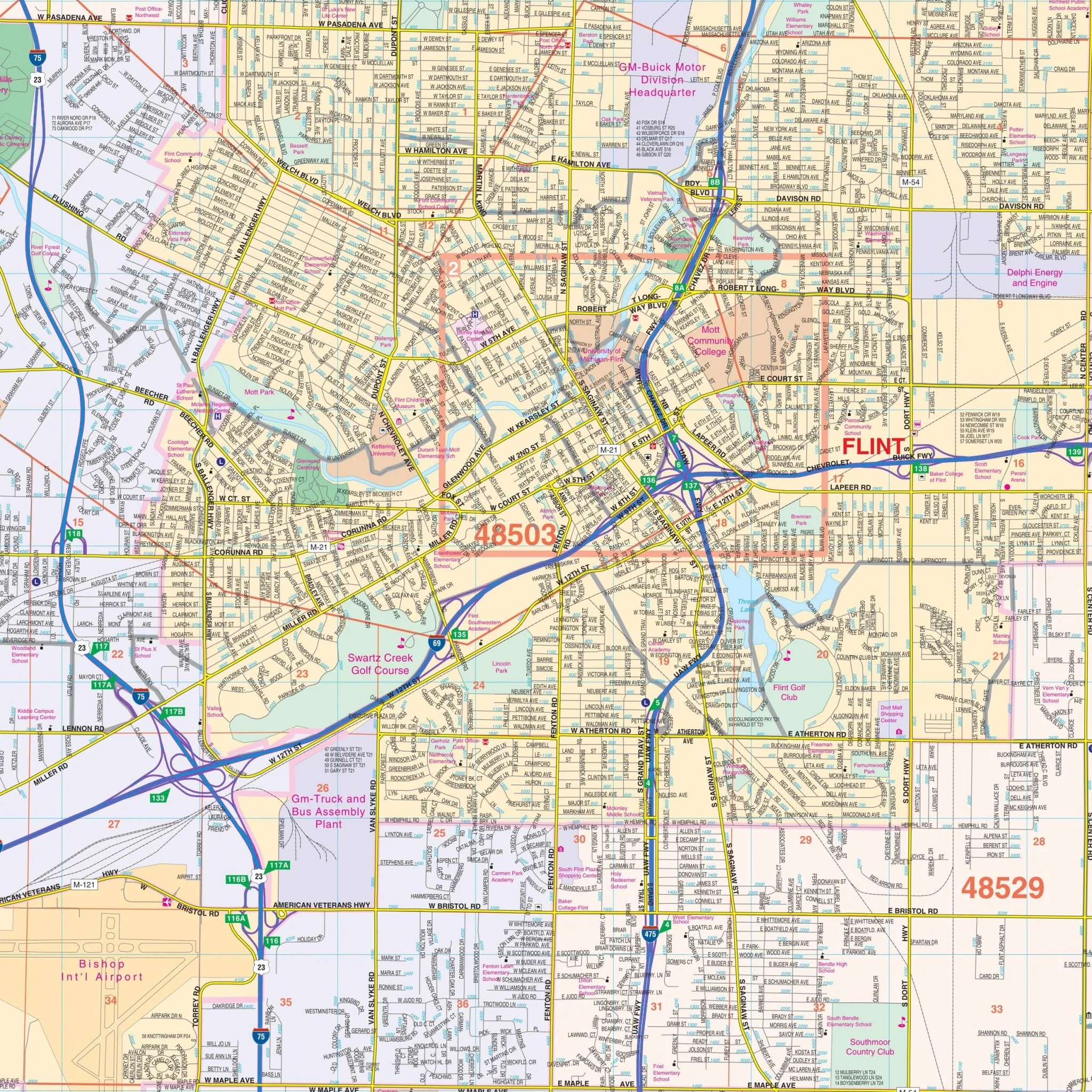
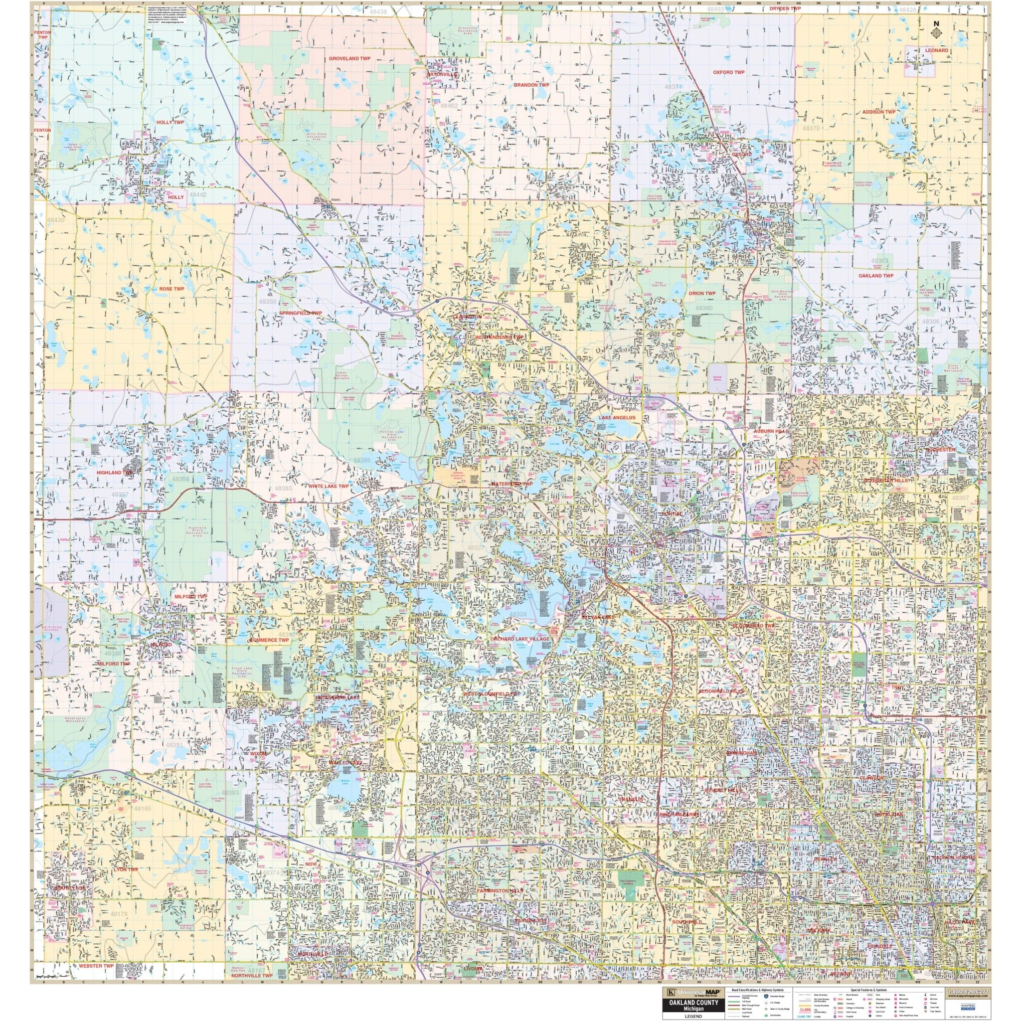
all streets and highways, government buildings, airports, water features, fire/police stations, hospitals, shopping centers, educational facilities, railroads, recreational parks, golf/country clubs, post offices, mileage circles, city limits/annexations, cemeteries, longitude/latitude, ZIP codes/boundaries, and points of interest.
Size: 65" x 56"
Published: 2012
Original: $149.99
-70%$149.99
$45.00Product Information
Product Information
Shipping & Returns
Shipping & Returns
Description
The Saginaw, Midland, and Bay City, Michigan Wall Map is published by Universal Map.
Streets are indexed on the face of the map.
Area of coverage:
- North: Bay City Recreation area; 3 miles north of Midland city limits;
- South: Shiawassee national wildlife refuge; Exit 144 on I-75;
- East: 2 " miles east of Essexville;
- West: 3 miles west of Midland city limits.
Details included on the map:
all streets and highways, government buildings, airports, water features, fire/police stations, hospitals, shopping centers, educational facilities, railroads, recreational parks, golf/country clubs, post offices, mileage circles, city limits/annexations, cemeteries, longitude/latitude, ZIP codes/boundaries, and points of interest.
Size: 65" x 56"
Published: 2012