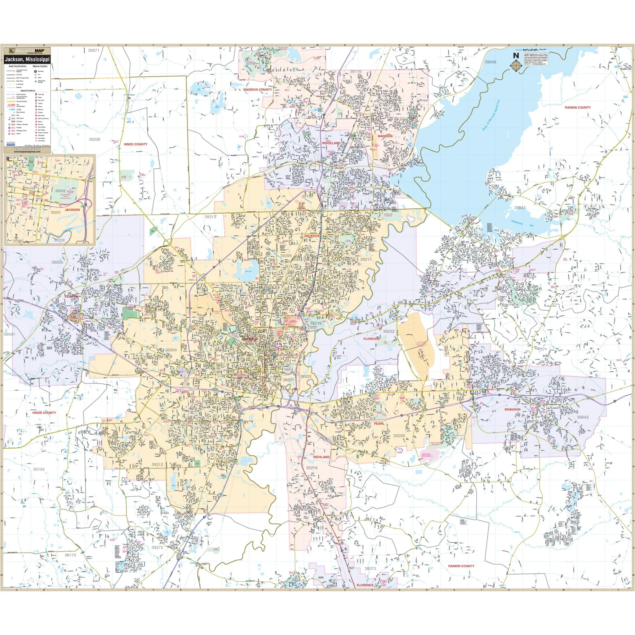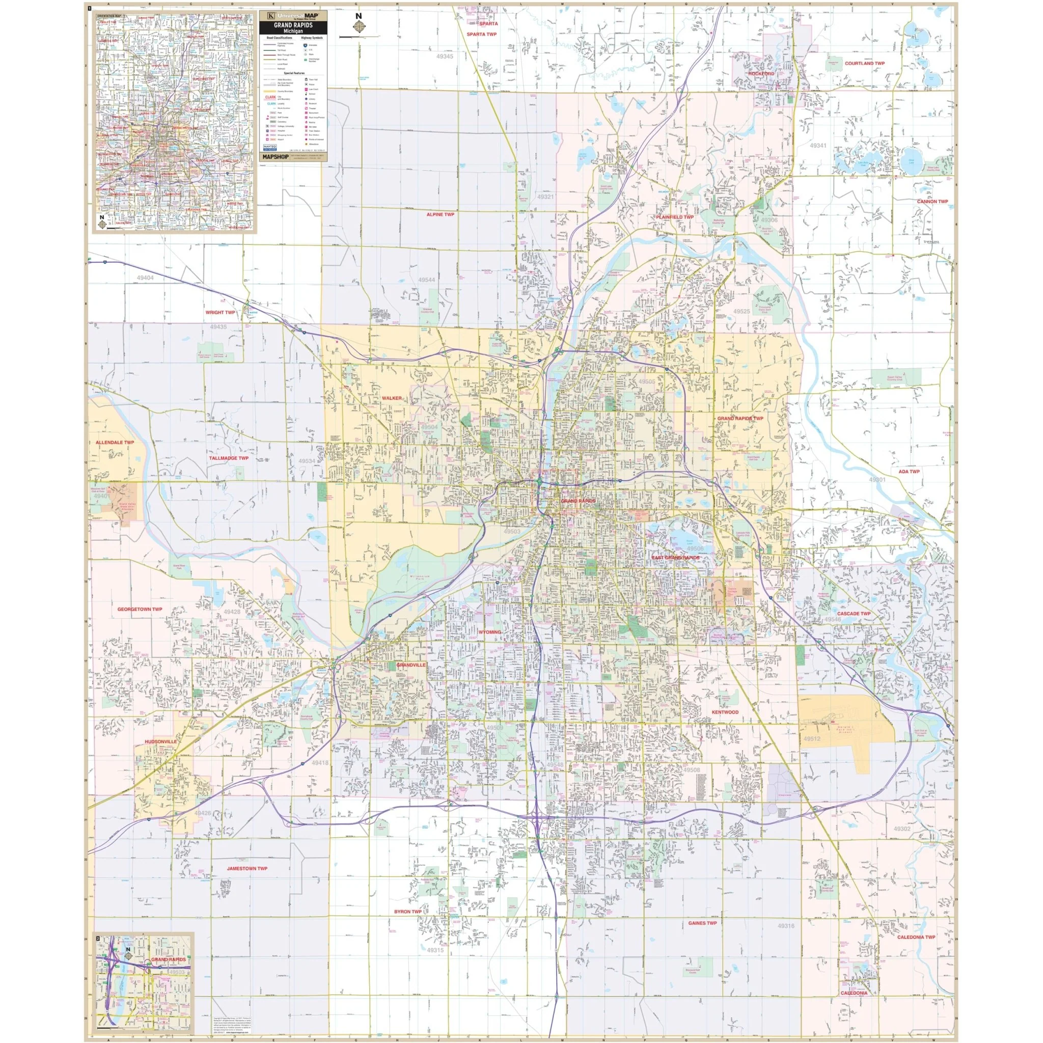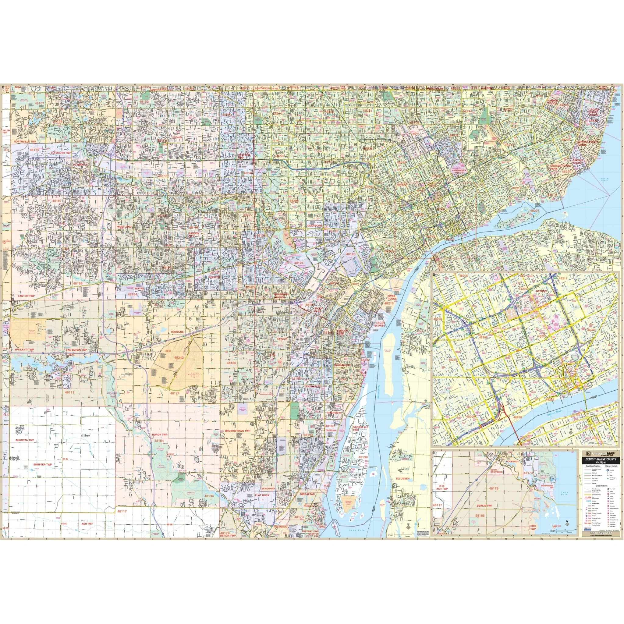


Detroit & Wayne County, Michigan Wall Map
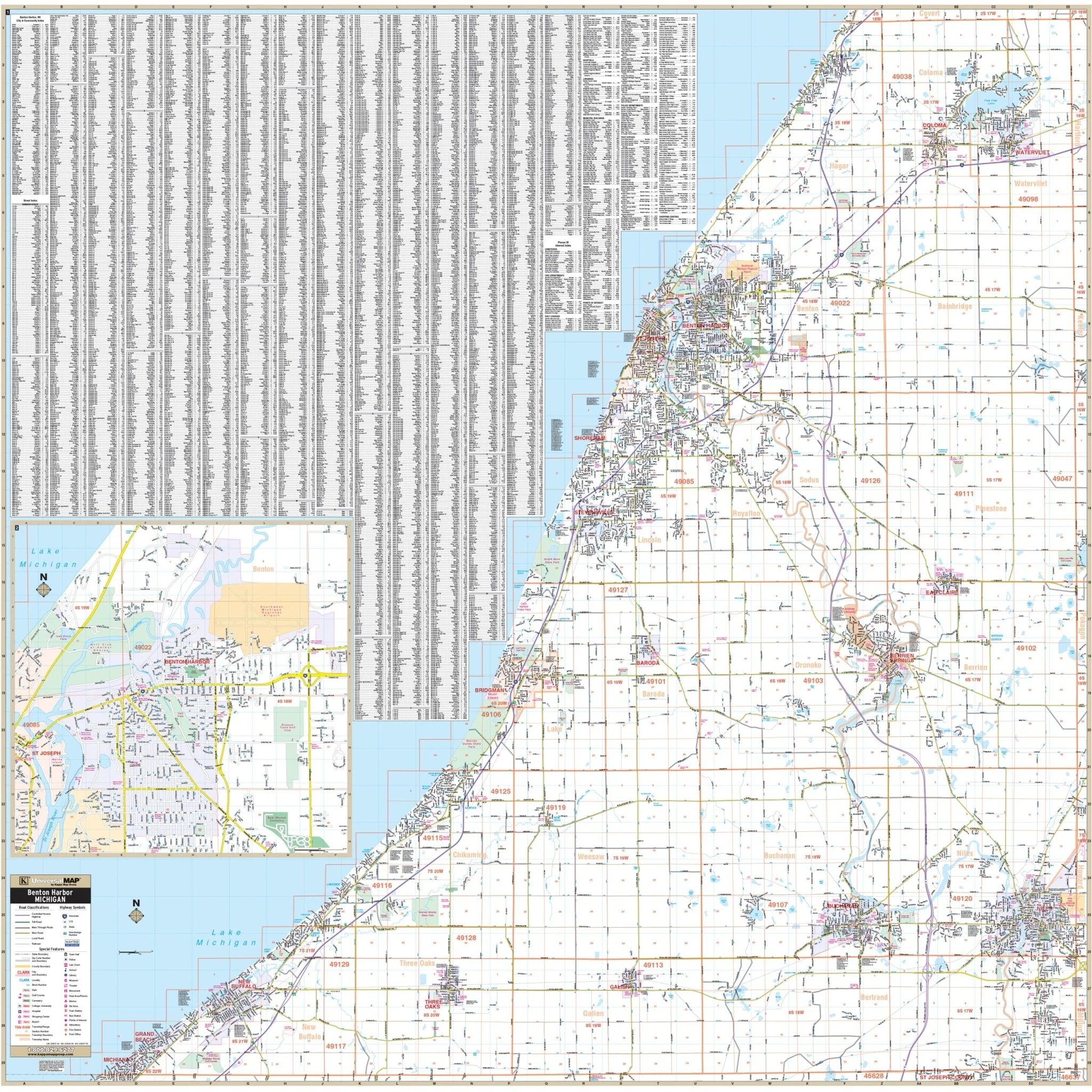
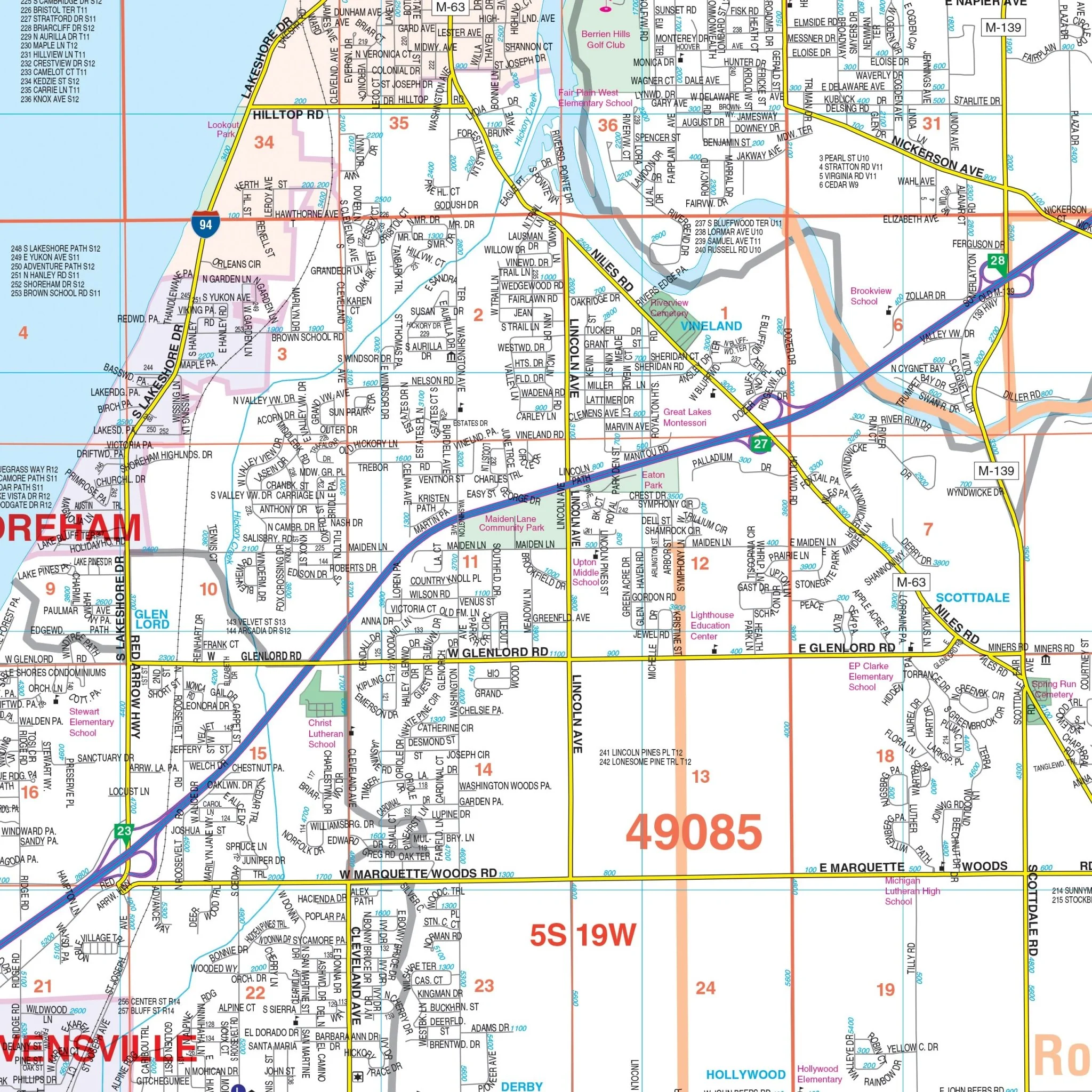
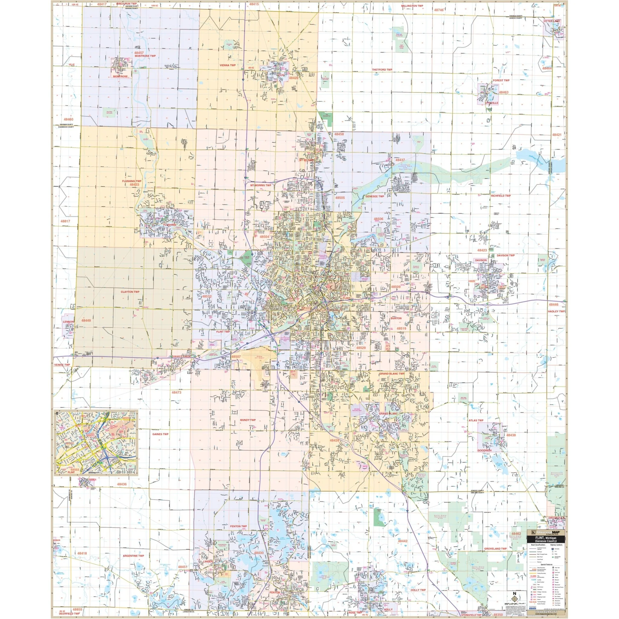
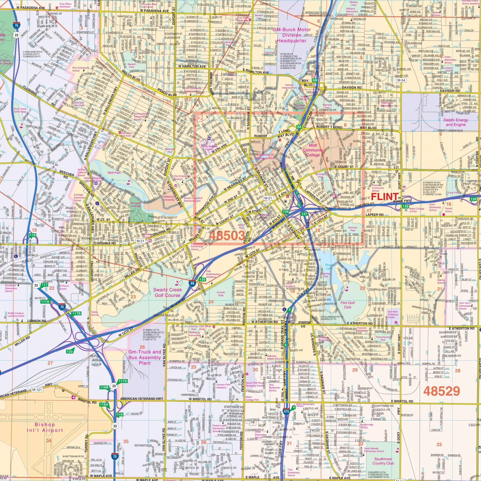
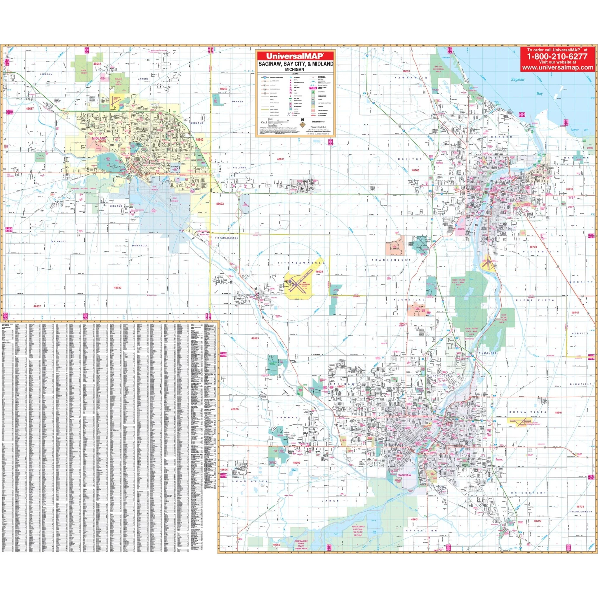
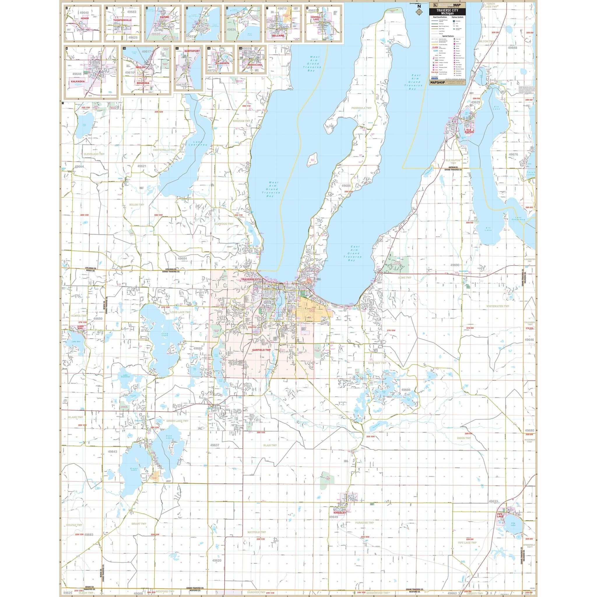
Explore the Detroit-Wayne County, MI Wall Map, a valuable resource for your navigation and reference needs, covering all of Wayne County and its surroundings.
The area of coverage includes:
- North: Extending from the Wayne County line to Oakland County.
- South: Extending from the Wayne County line to Monroe.
- East: Extending from the Wayne County line to Ontario, Canada.
- West: Extending from the Wayne County line to Washtenaw County.
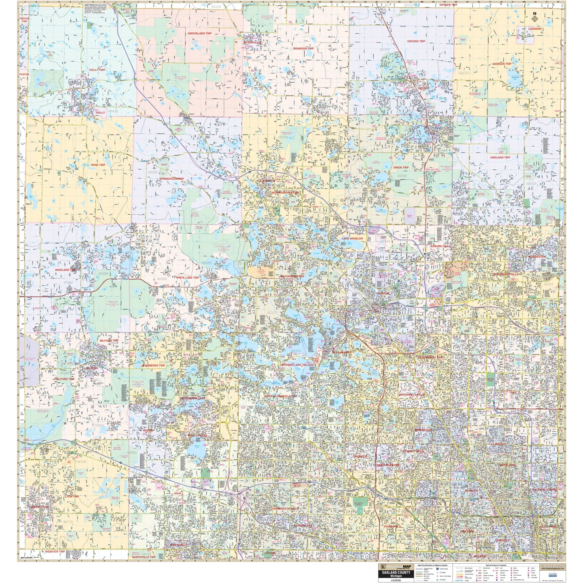
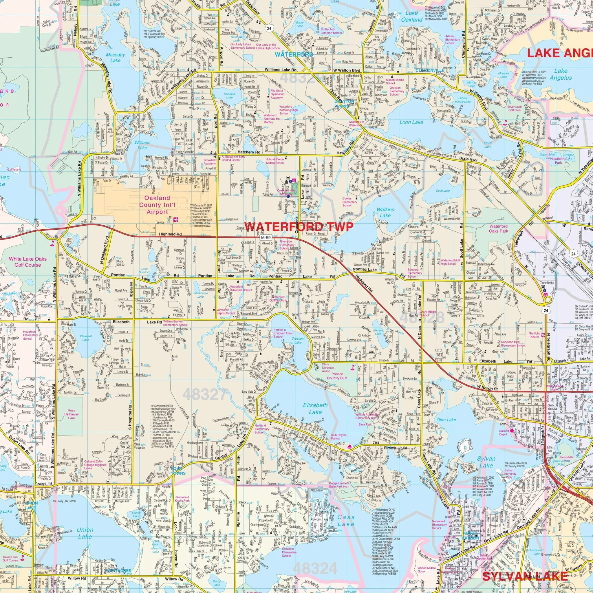
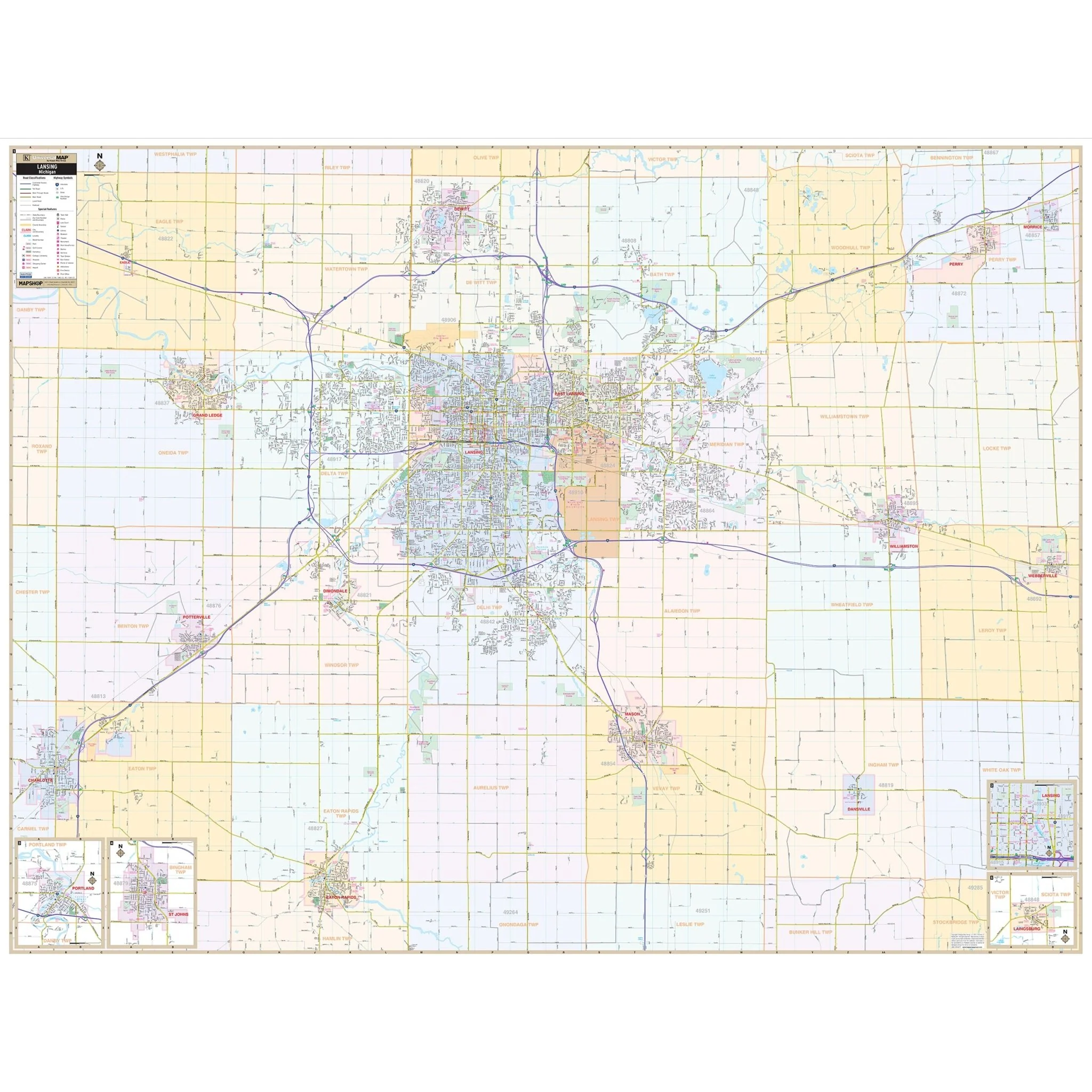
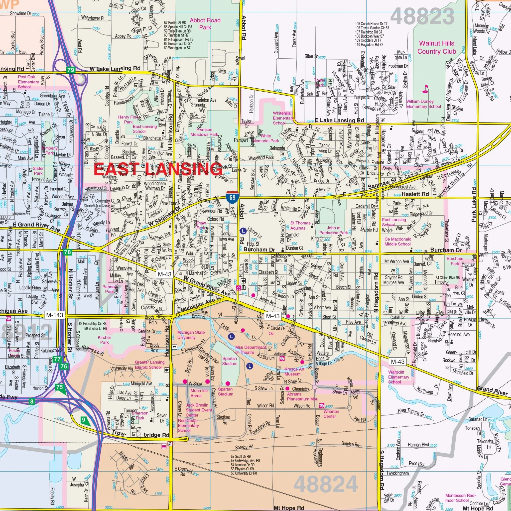
This map provides complete street detail at a scale of 1" = 2,667 feet and includes essential details such as streets, airports, government buildings, post offices, cemeteries, fire and police stations, hospitals, shopping centers, educational institutions, railroads, water features, golf and country clubs, mileage circles, recreational parks, ZIP codes and boundaries, and block numbers.
Embark on your journey through Detroit and Wayne County, MI, equipped with this informative wall map, designed to enhance your exploration and navigation of the area.
Size: 73.25" x 54"
Published: 2014
Original: $149.99
-70%$149.99
$45.00Product Information
Product Information
Shipping & Returns
Shipping & Returns
Description
Explore the Detroit-Wayne County, MI Wall Map, a valuable resource for your navigation and reference needs, covering all of Wayne County and its surroundings.
The area of coverage includes:
- North: Extending from the Wayne County line to Oakland County.
- South: Extending from the Wayne County line to Monroe.
- East: Extending from the Wayne County line to Ontario, Canada.
- West: Extending from the Wayne County line to Washtenaw County.
This map provides complete street detail at a scale of 1" = 2,667 feet and includes essential details such as streets, airports, government buildings, post offices, cemeteries, fire and police stations, hospitals, shopping centers, educational institutions, railroads, water features, golf and country clubs, mileage circles, recreational parks, ZIP codes and boundaries, and block numbers.
Embark on your journey through Detroit and Wayne County, MI, equipped with this informative wall map, designed to enhance your exploration and navigation of the area.
Size: 73.25" x 54"
Published: 2014