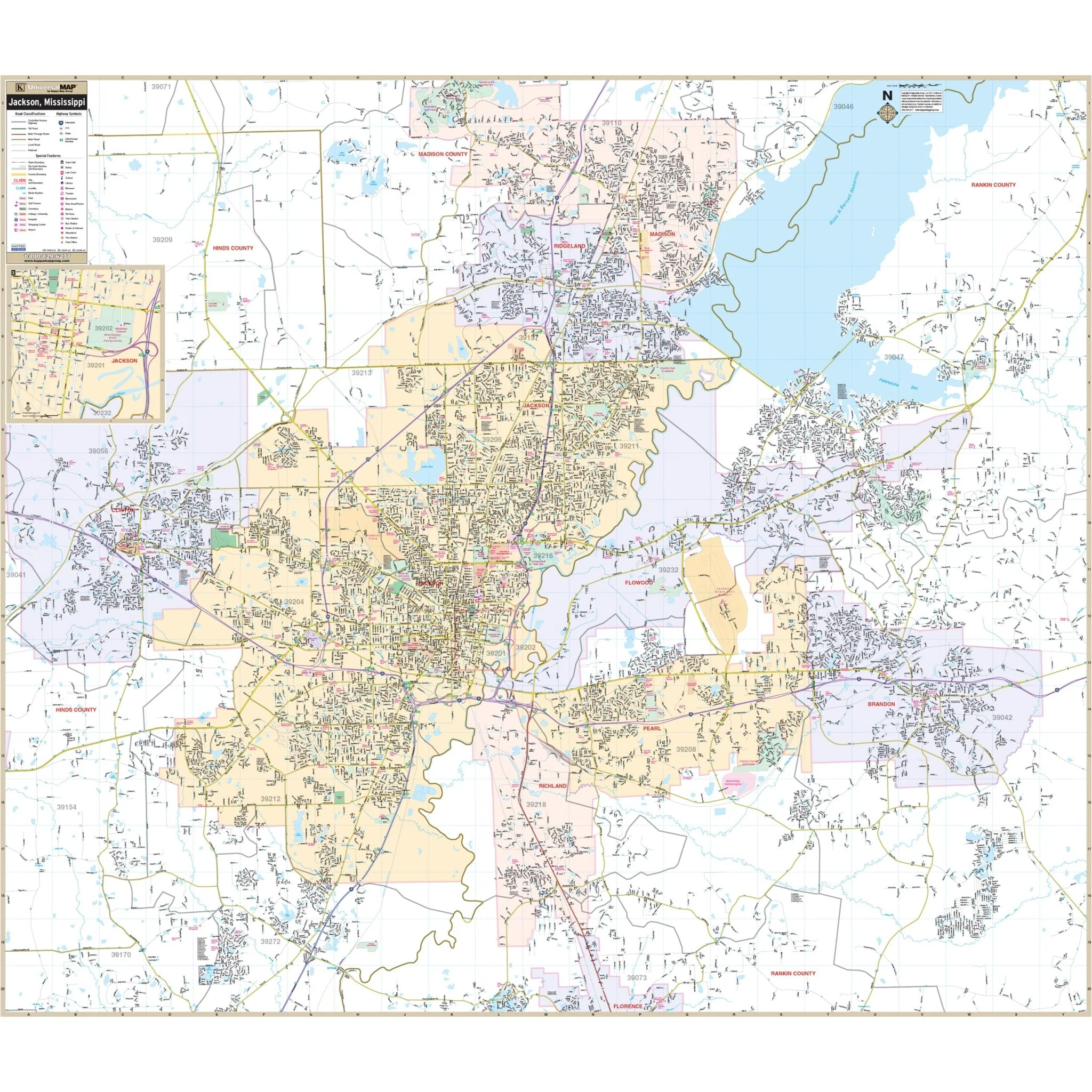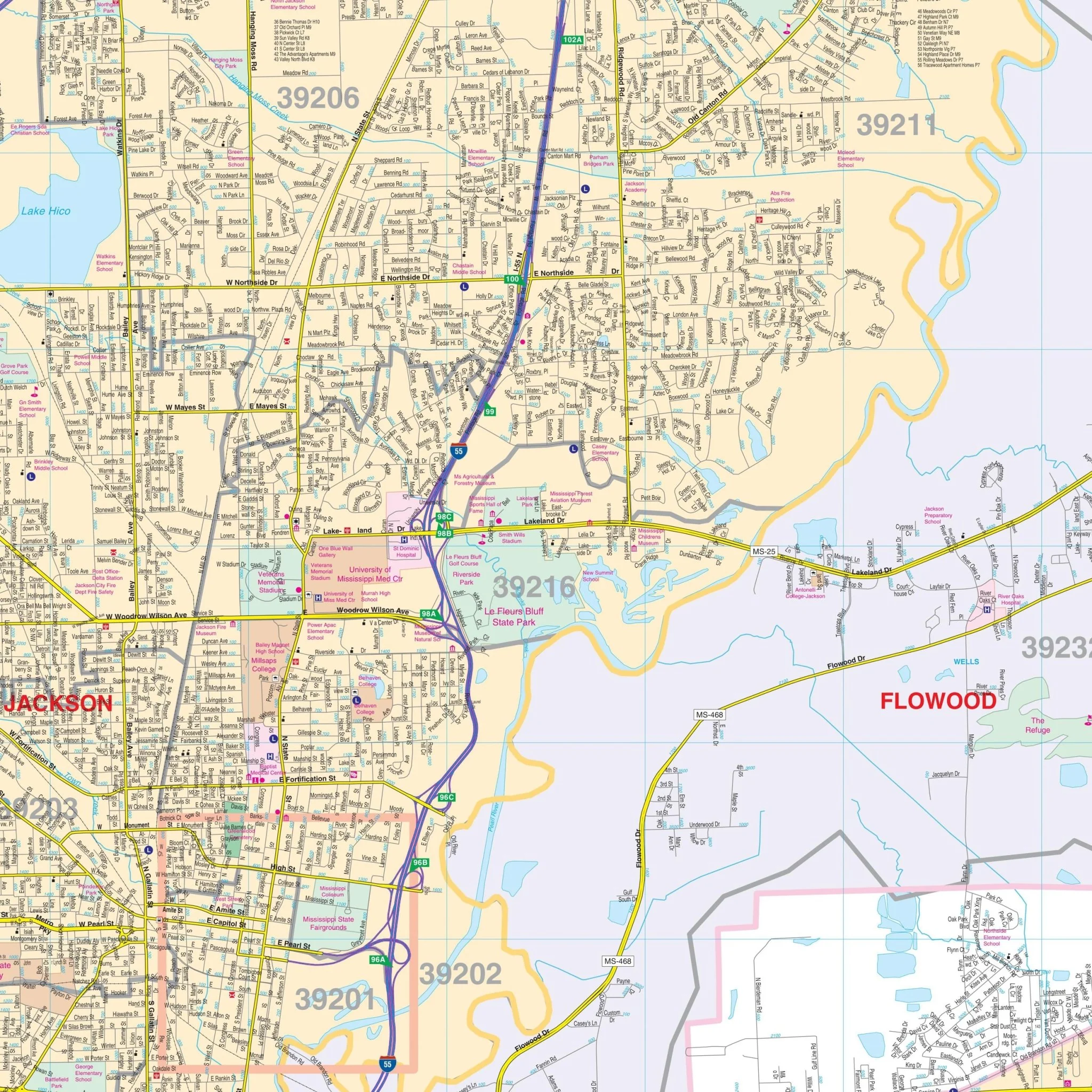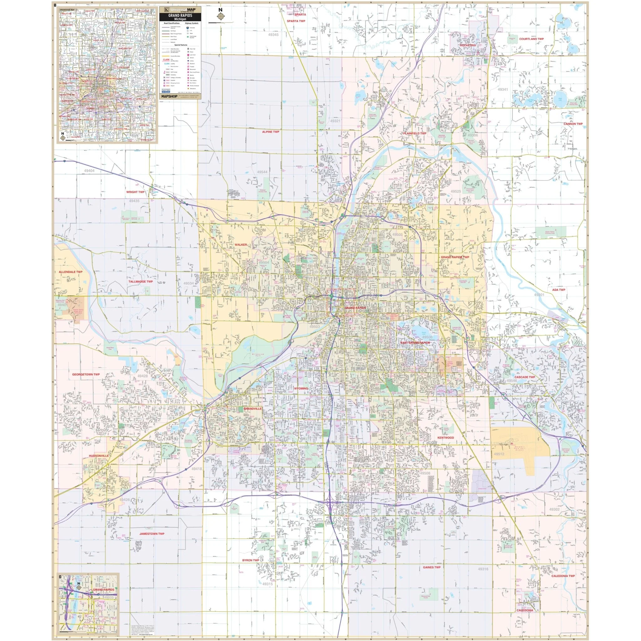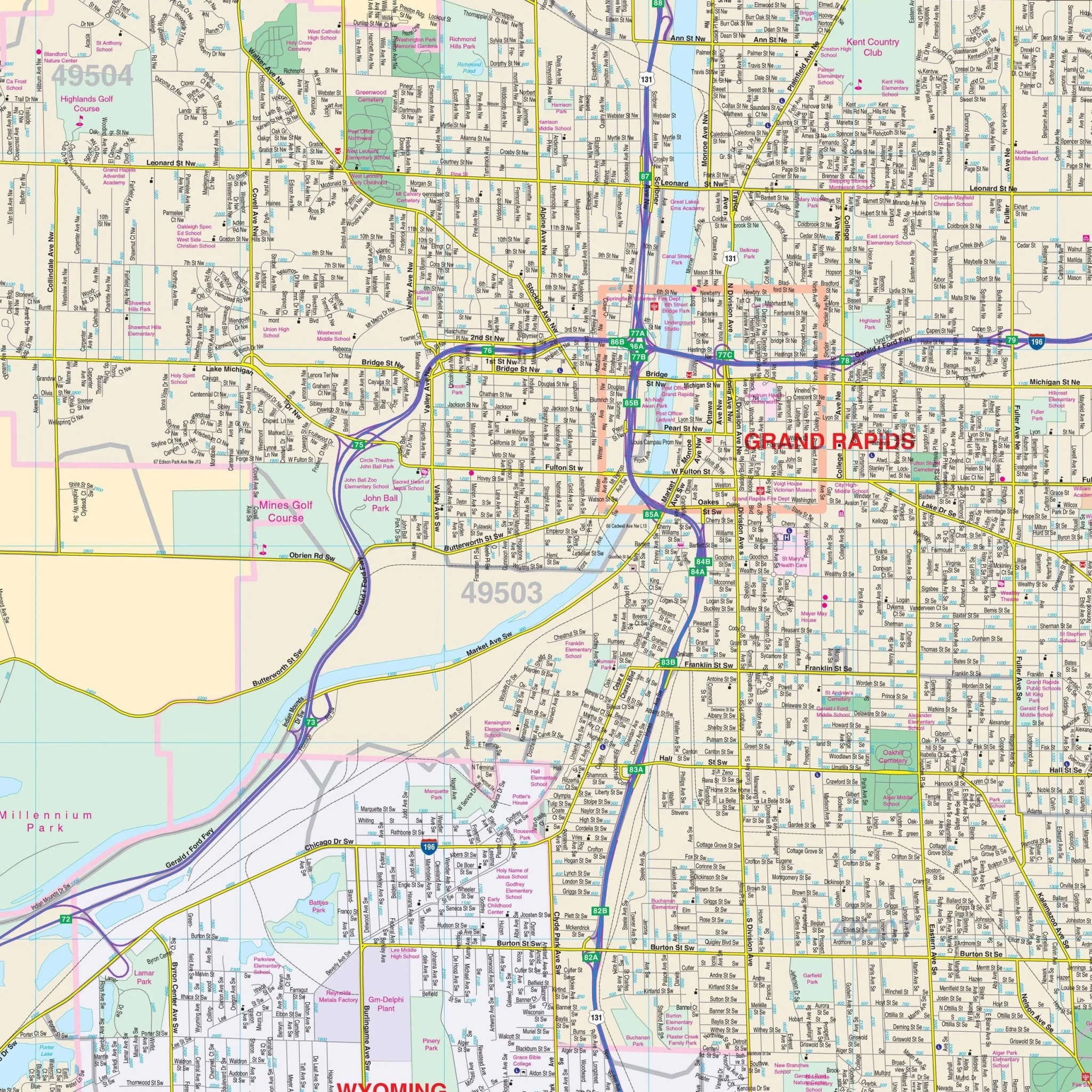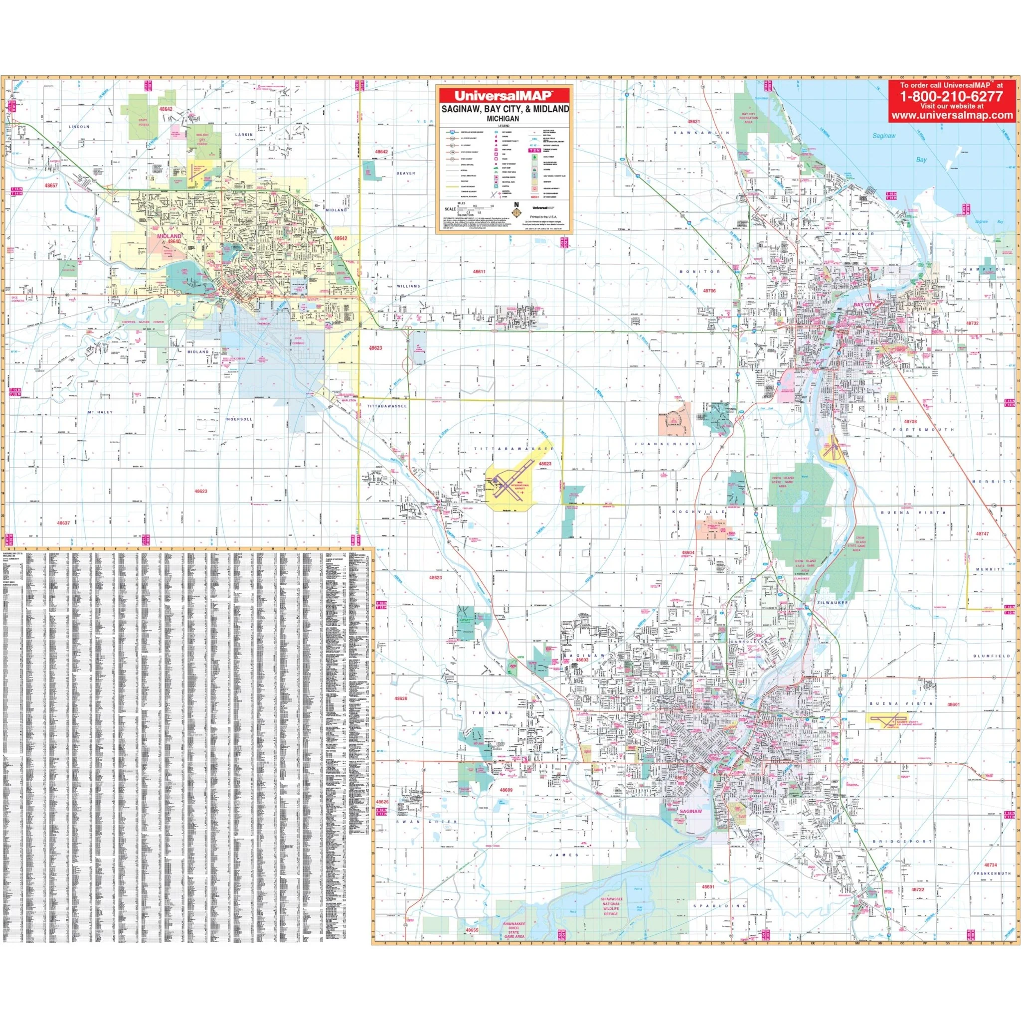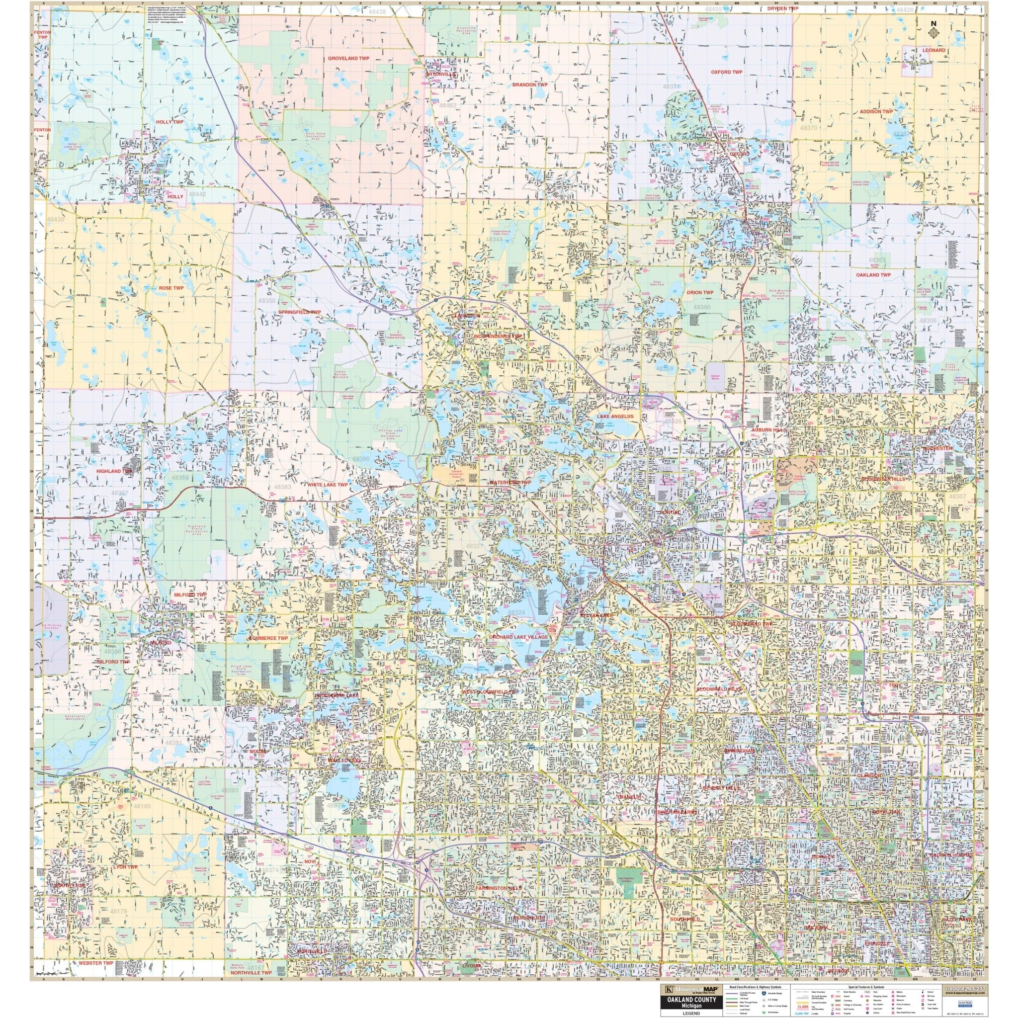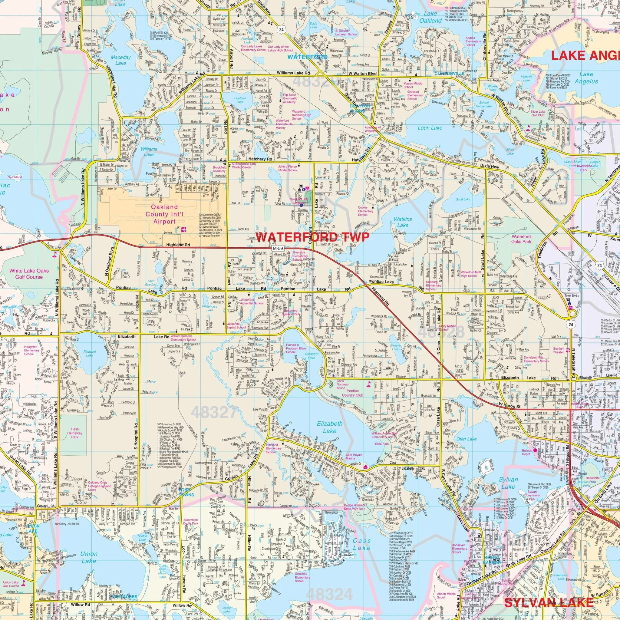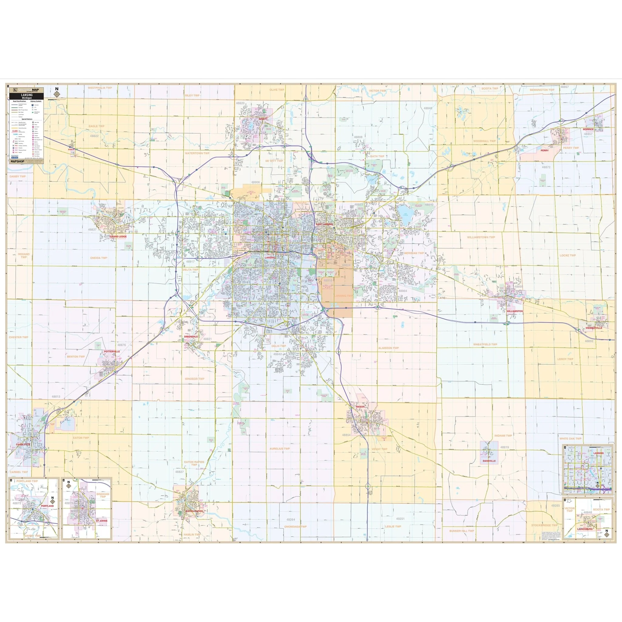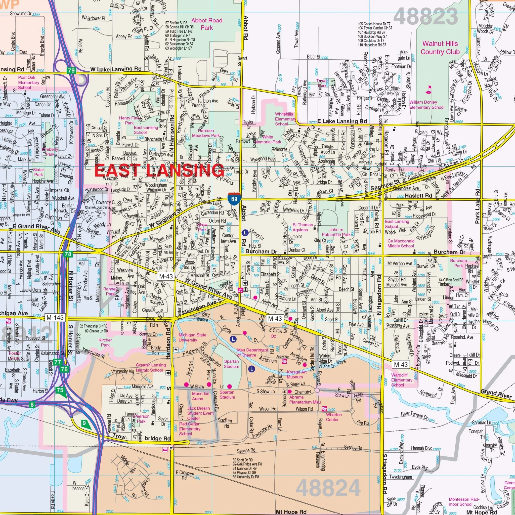


Flint, MI Wall Map
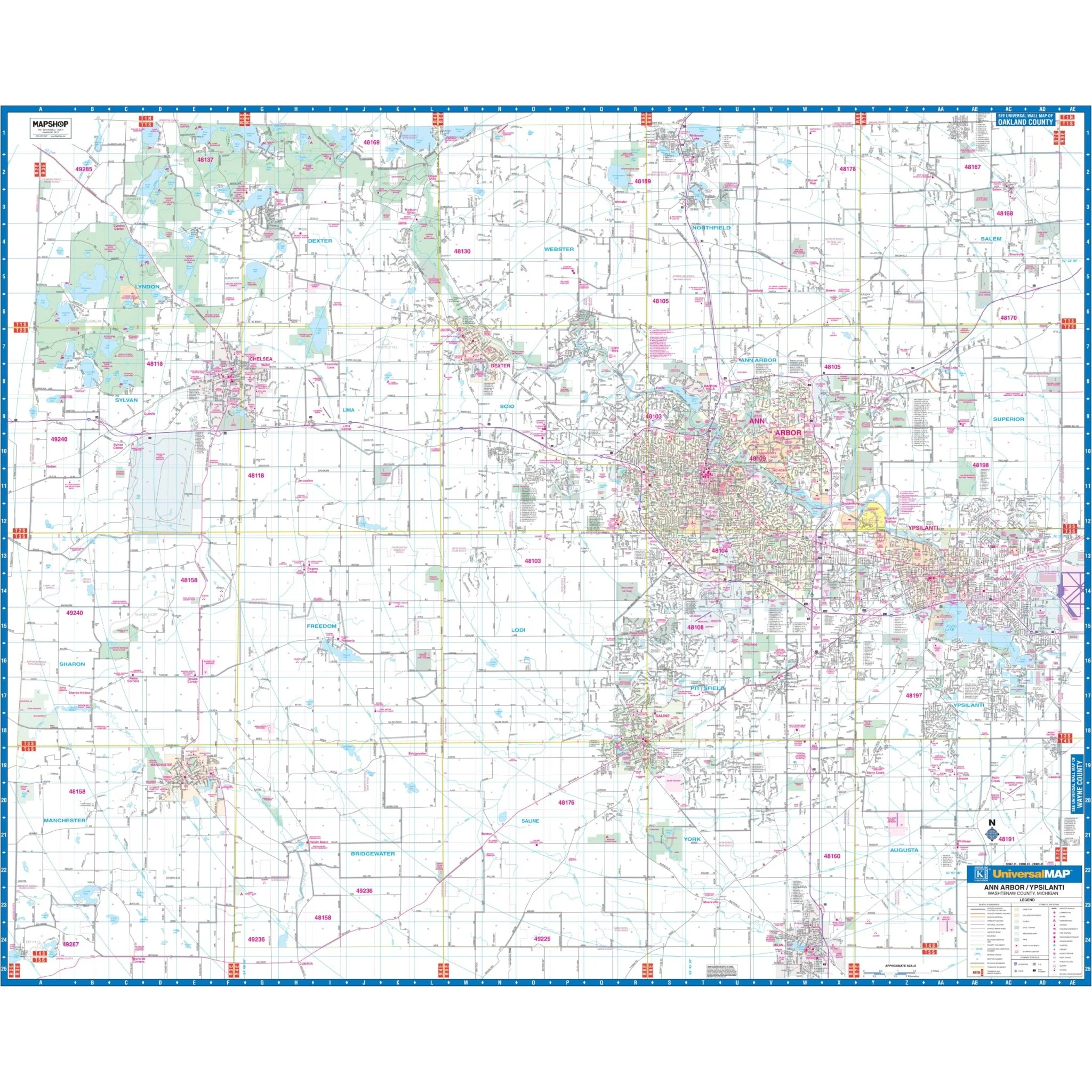
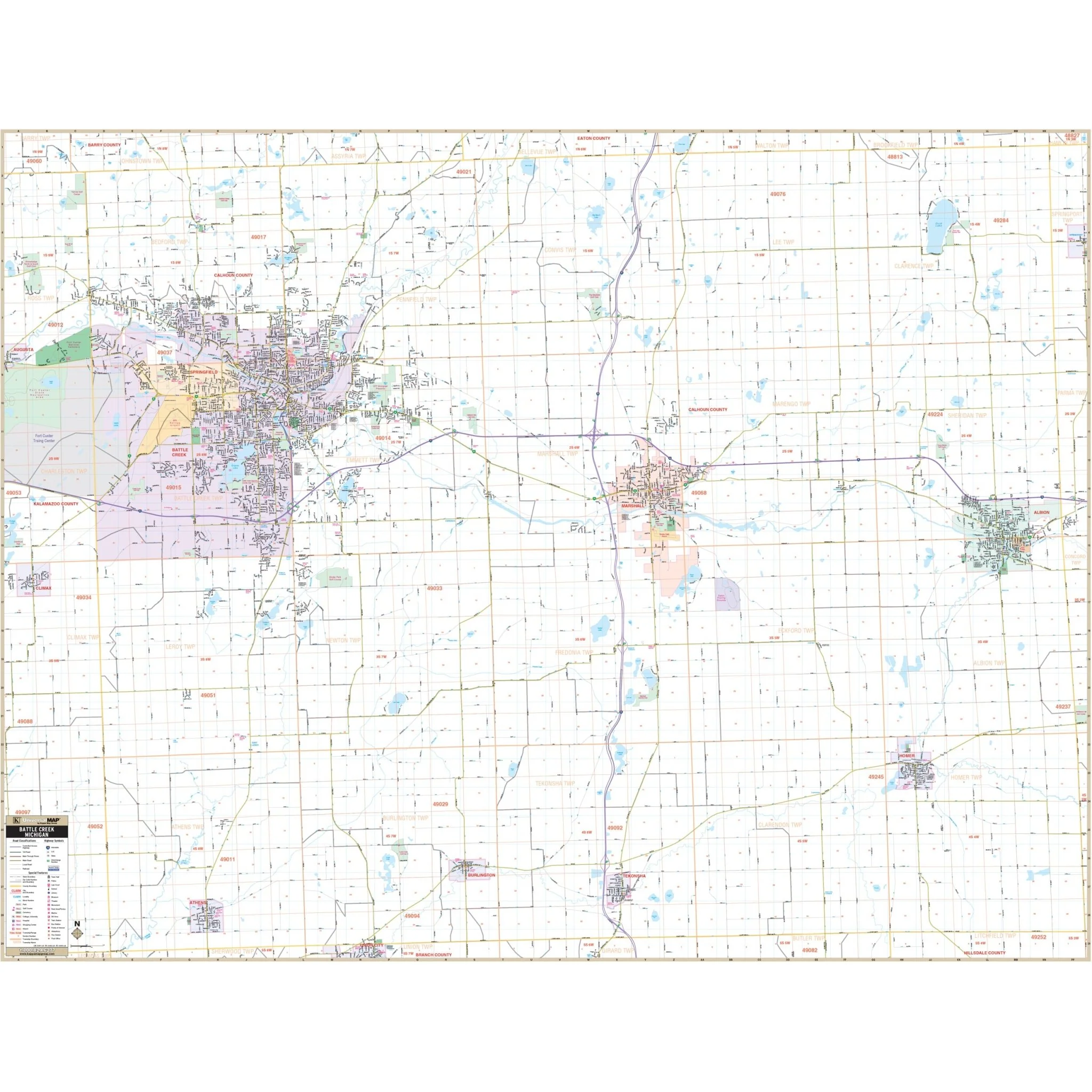
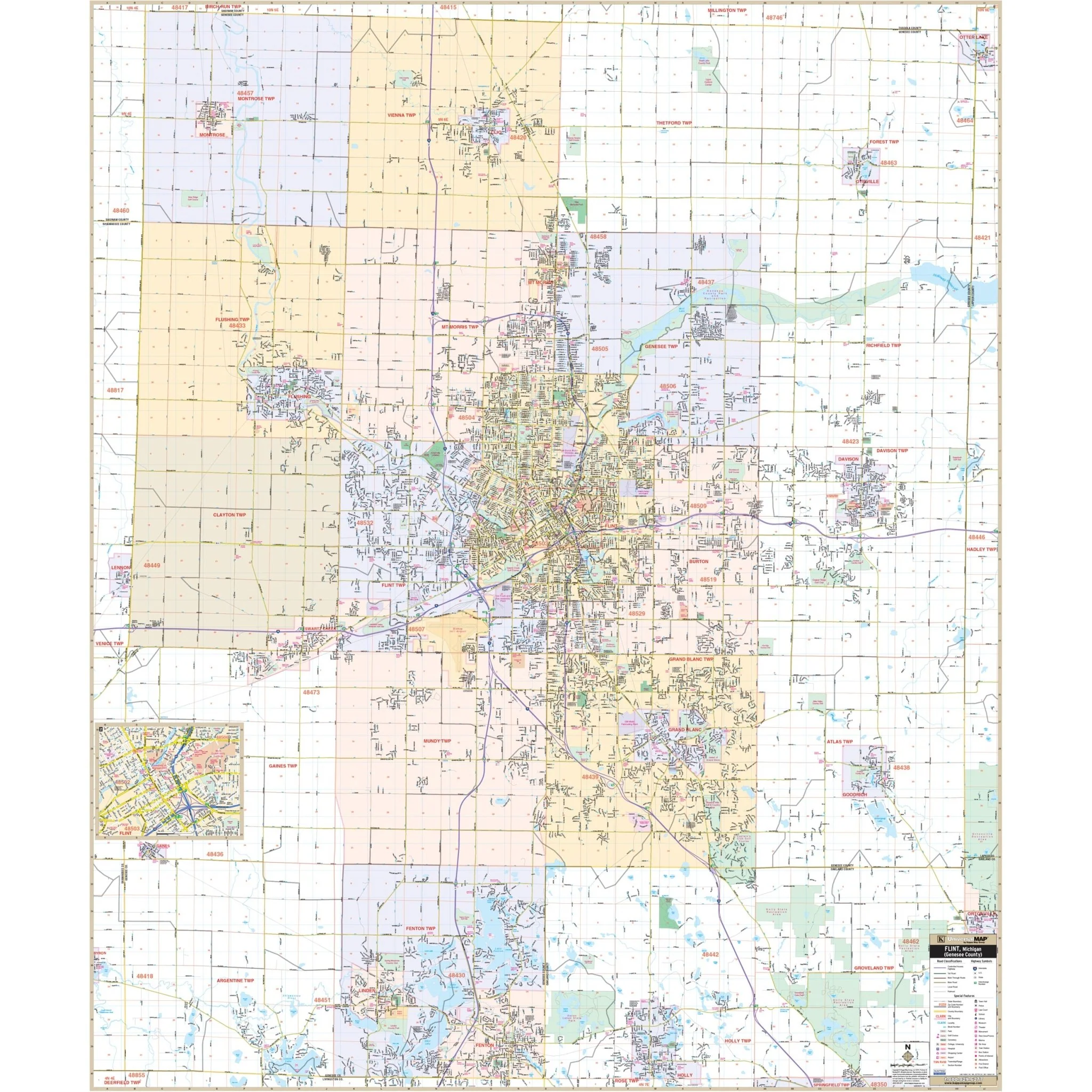
Explore the Flint, MI Wall Map by Kappa Map Group, a valuable resource for your navigation and reference needs, covering the city of Flint and its surroundings.
The area of coverage includes:
- North: Extending to cover all of the City of Montrose and Clio.
- South: Extending to Holly in Oakland County and all of the City of Linden.
- East: Extending to cover all of the City of Davison and Otisville.
- West: Extending to the Shiawassee/Genesee county line.
This map provides complete street detail at a scale of 1" = 2,362 inches. It includes essential details such as airports, block numbers, cemeteries, city limits, educational institutions, golf and country clubs, government buildings, hospitals, points of interest, police stations, railroads, recreational parks, section, township, and range lines, shopping centers, streets and highways, water features, and ZIP code boundaries.
Embark on your journey through Flint, MI, equipped with this informative wall map, designed to enhance your exploration and navigation of the area.
Size: 57" x 67.75"
Published: 2009
Original: $149.99
-70%$149.99
$45.00Product Information
Product Information
Shipping & Returns
Shipping & Returns
Description
Explore the Flint, MI Wall Map by Kappa Map Group, a valuable resource for your navigation and reference needs, covering the city of Flint and its surroundings.
The area of coverage includes:
- North: Extending to cover all of the City of Montrose and Clio.
- South: Extending to Holly in Oakland County and all of the City of Linden.
- East: Extending to cover all of the City of Davison and Otisville.
- West: Extending to the Shiawassee/Genesee county line.
This map provides complete street detail at a scale of 1" = 2,362 inches. It includes essential details such as airports, block numbers, cemeteries, city limits, educational institutions, golf and country clubs, government buildings, hospitals, points of interest, police stations, railroads, recreational parks, section, township, and range lines, shopping centers, streets and highways, water features, and ZIP code boundaries.
Embark on your journey through Flint, MI, equipped with this informative wall map, designed to enhance your exploration and navigation of the area.
Size: 57" x 67.75"
Published: 2009