


Grand Rapids, MI Wall Map
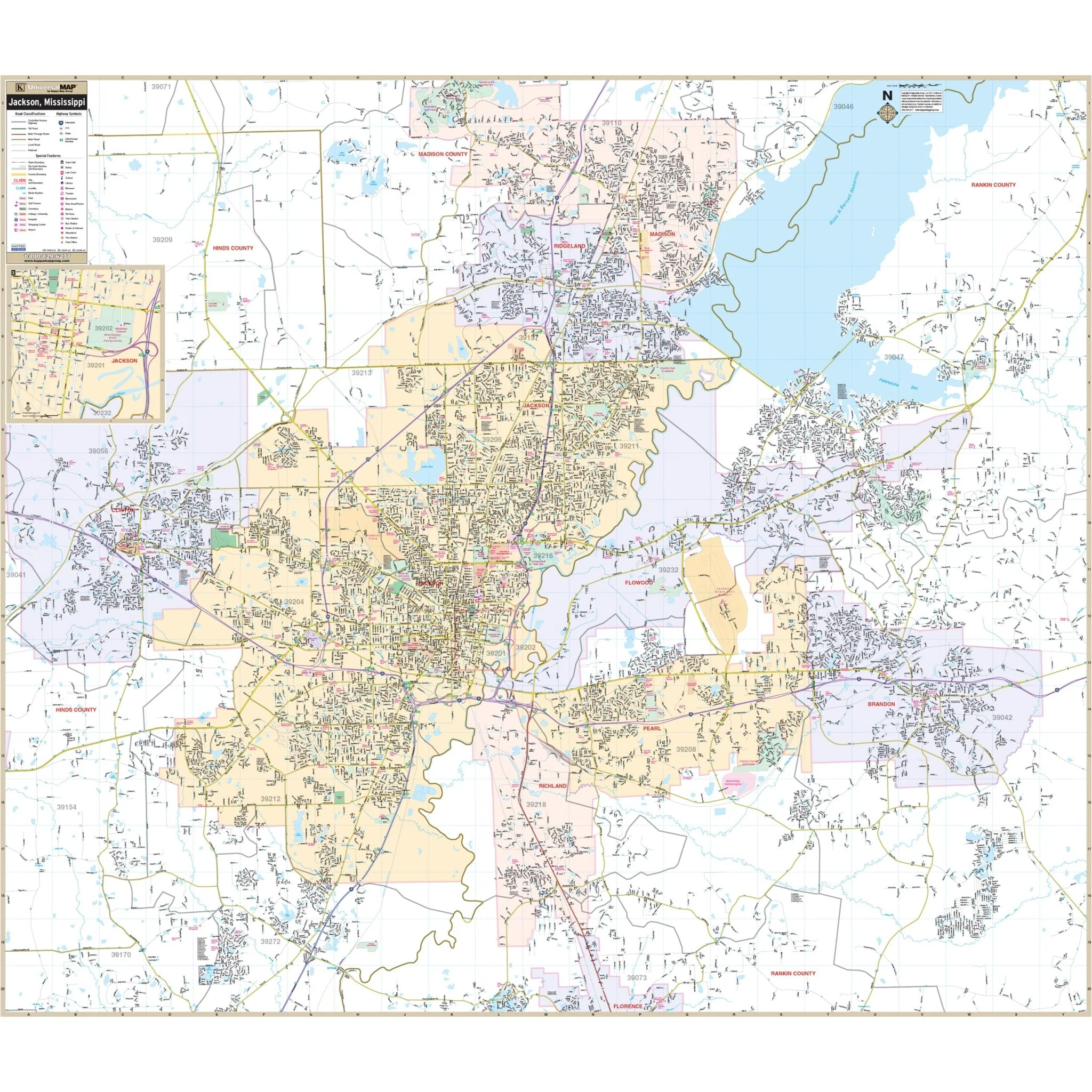
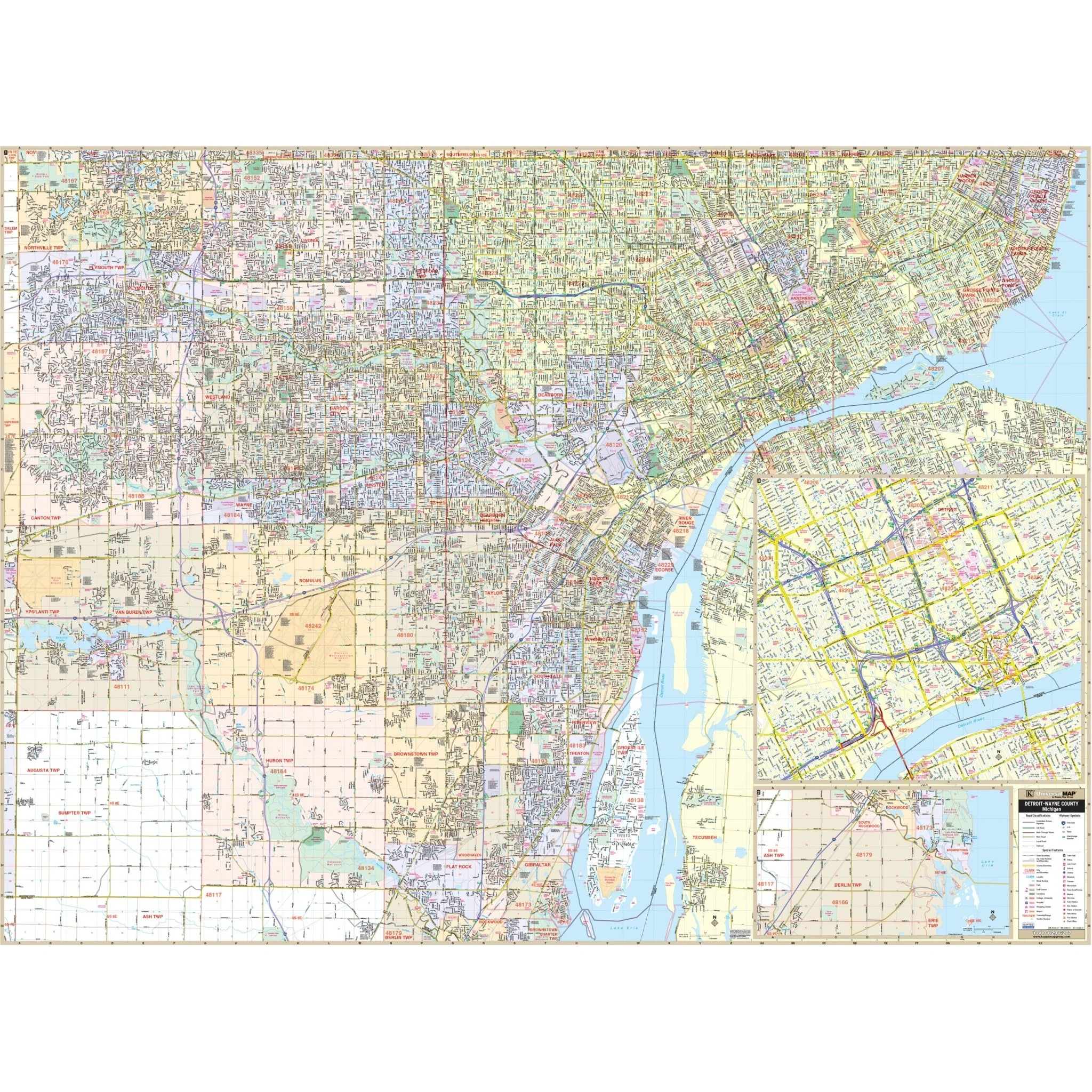
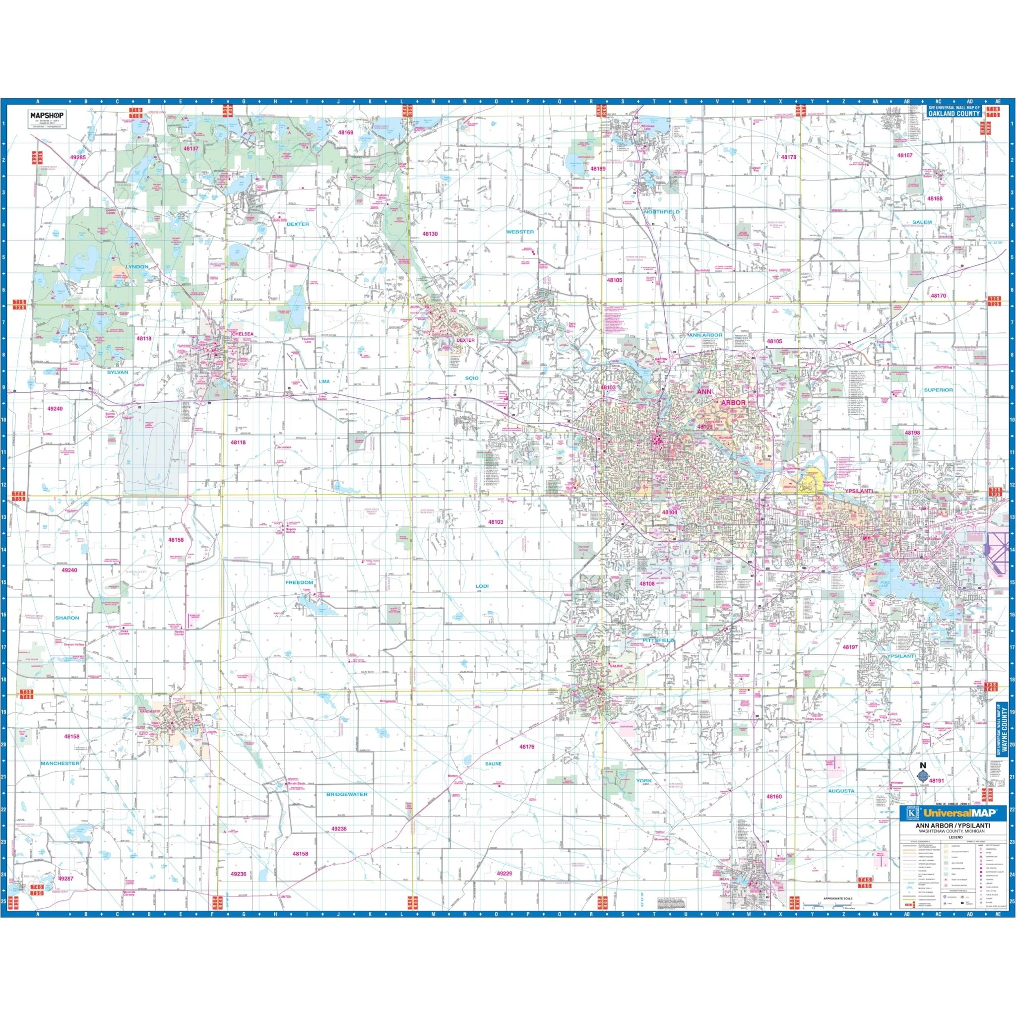
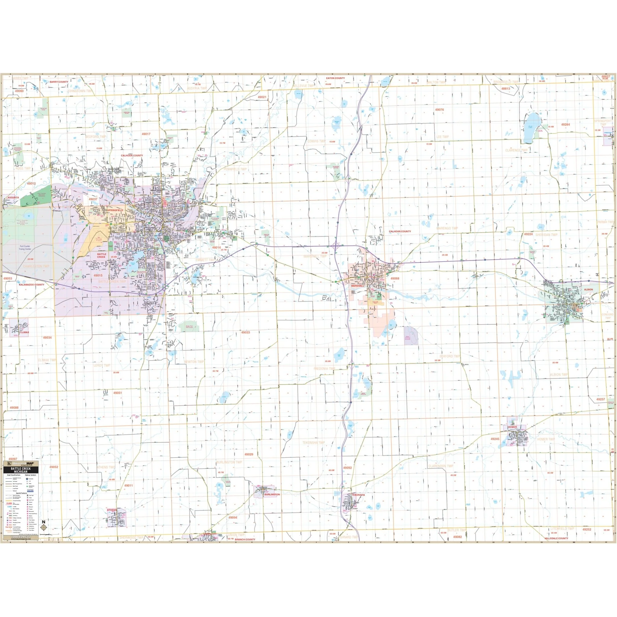
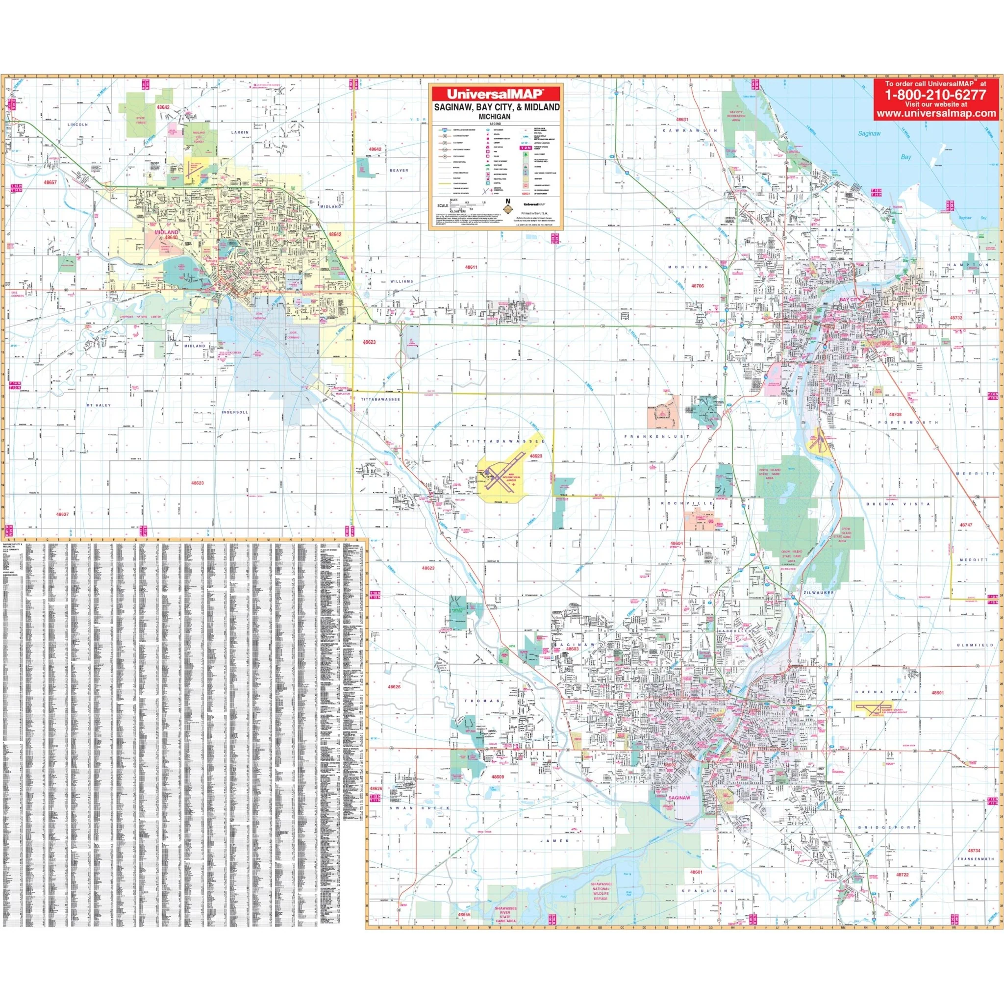
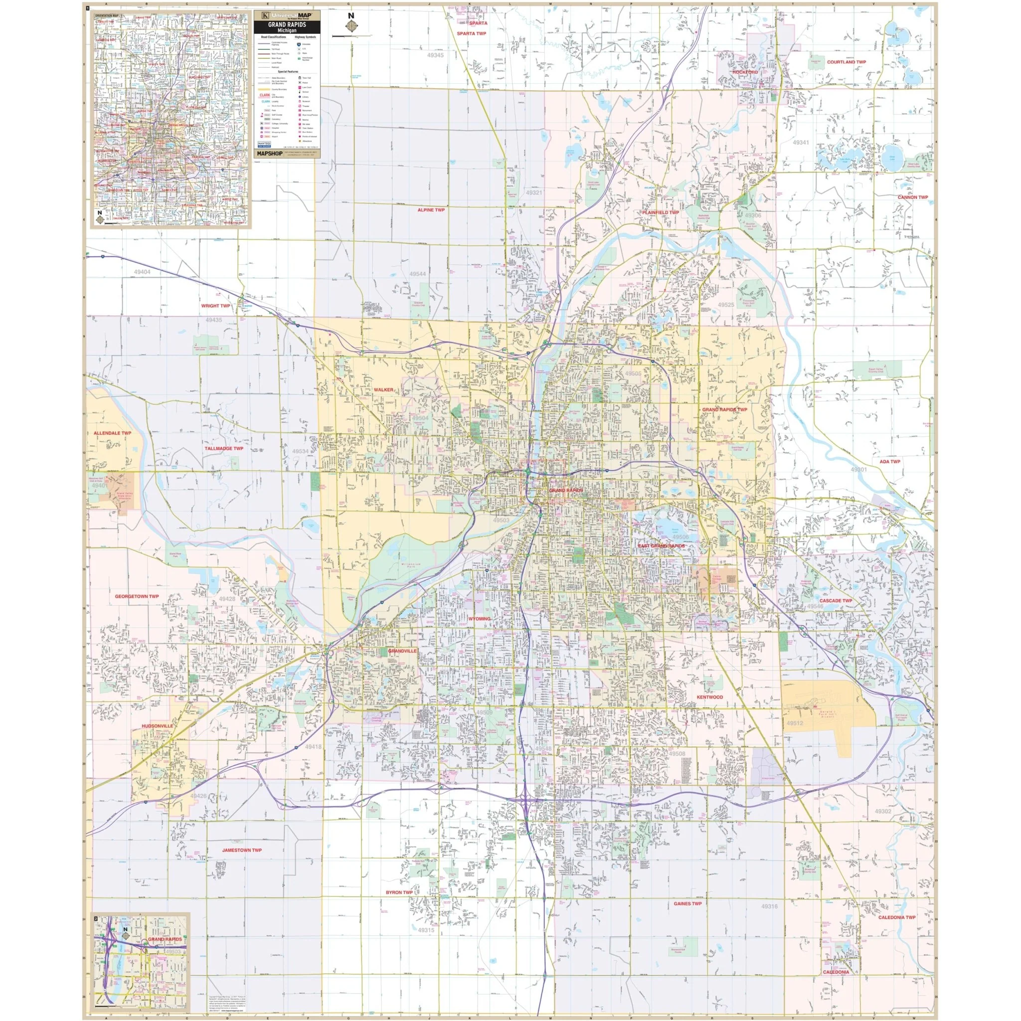
Discover the Grand Rapids, MI Wall Map, a valuable tool for your navigation and reference needs, covering the city of Grand Rapids and its surroundings.
The area of coverage includes:
- North: Extending to Rockford.
- South: Extending to the Kent County line.
- East: Extending to Cascade and Gerald R Ford International Airport.
- West: Extending to Georgetown Township in Ottawa County.
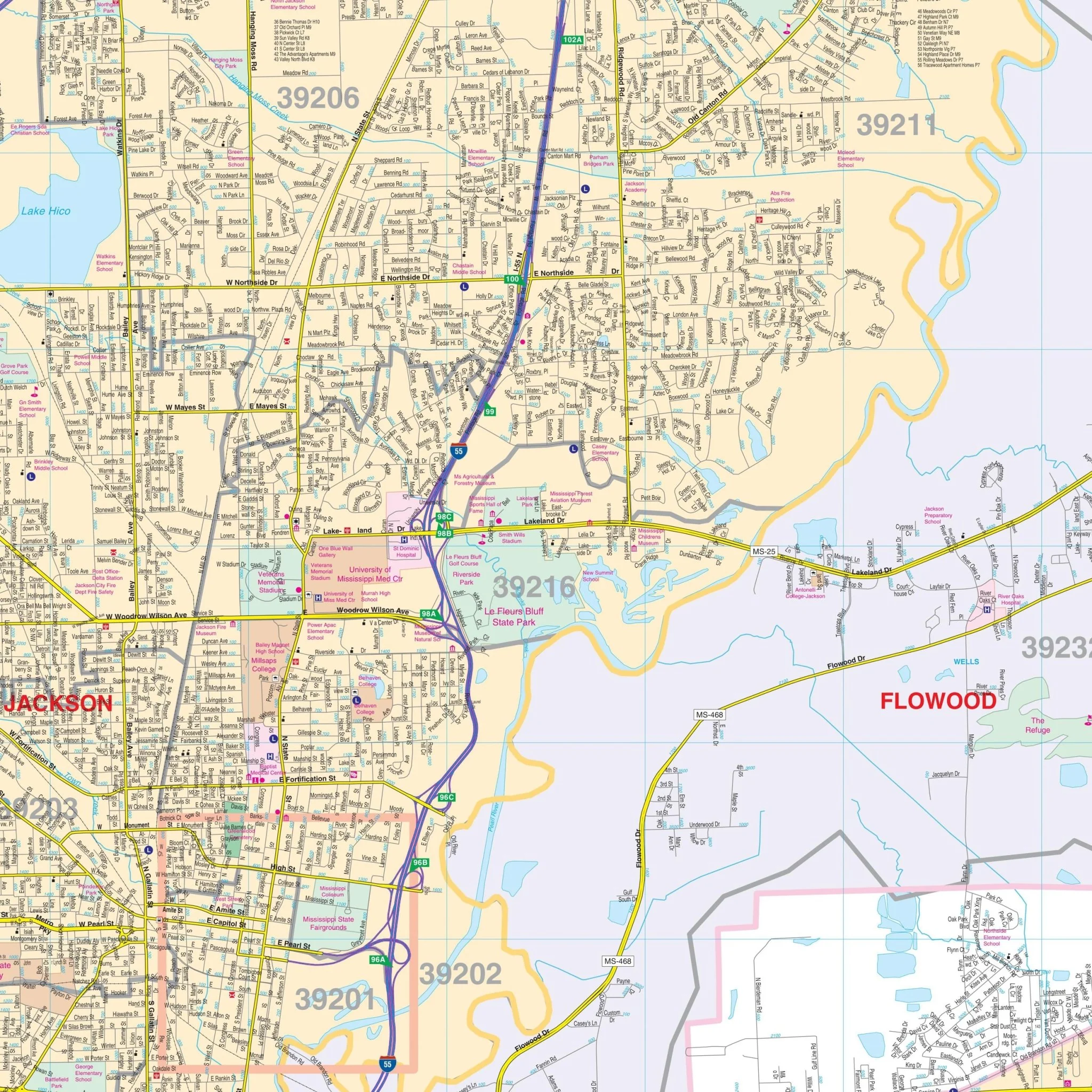
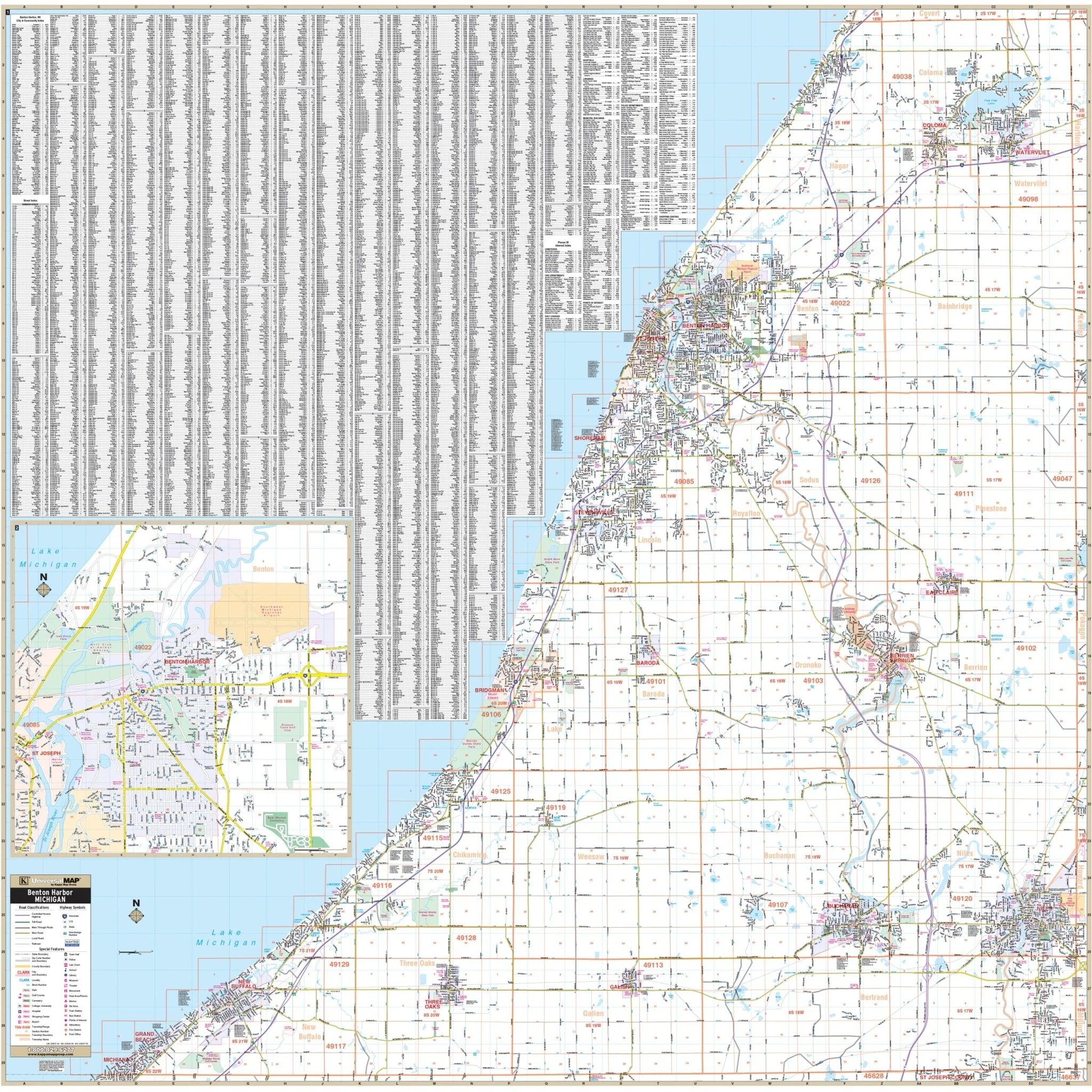
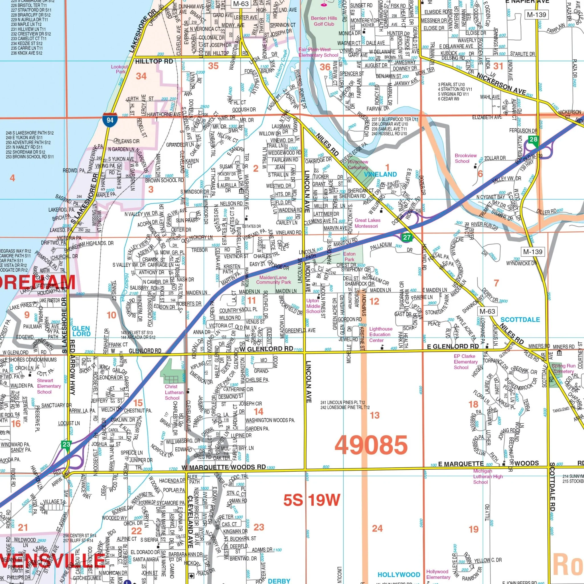
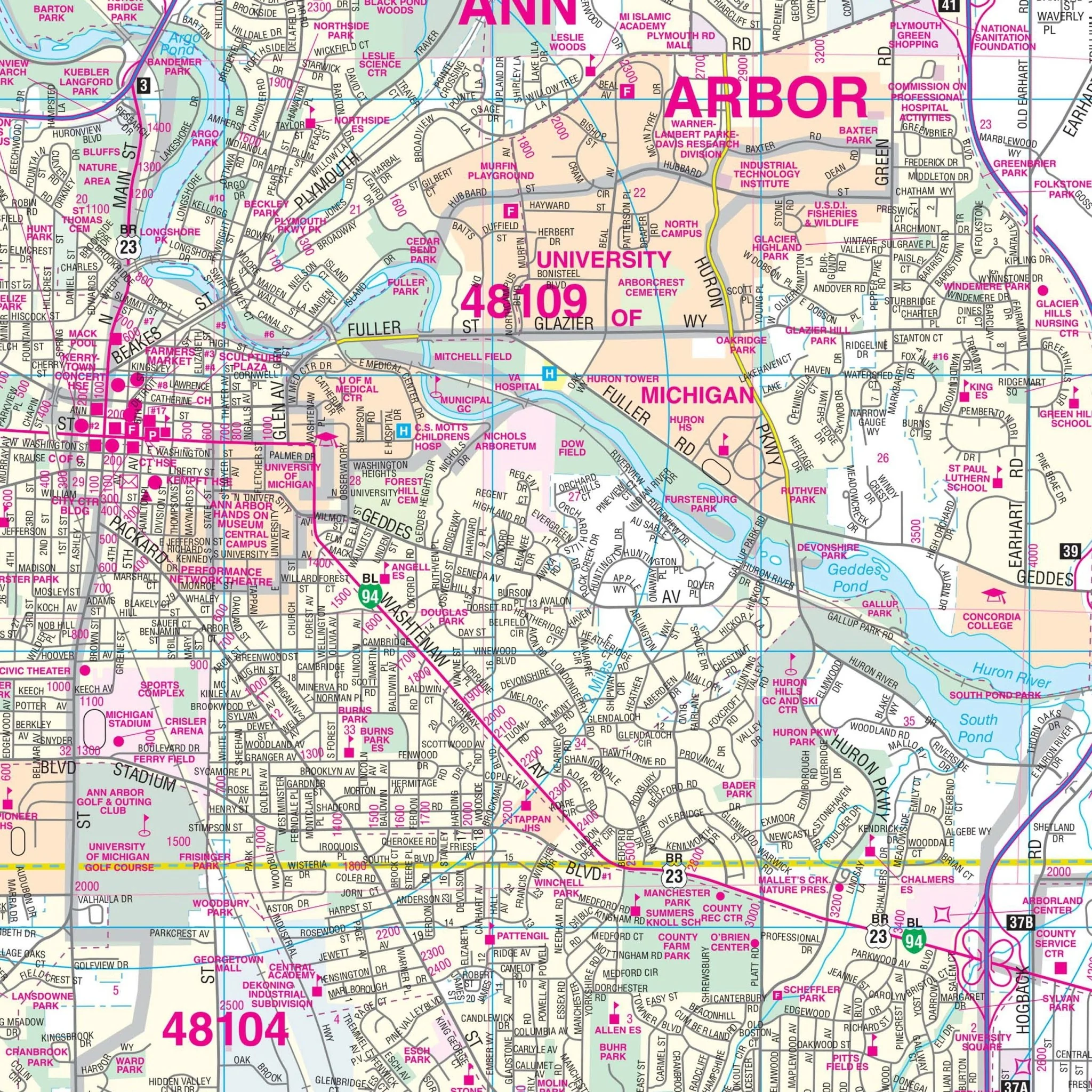
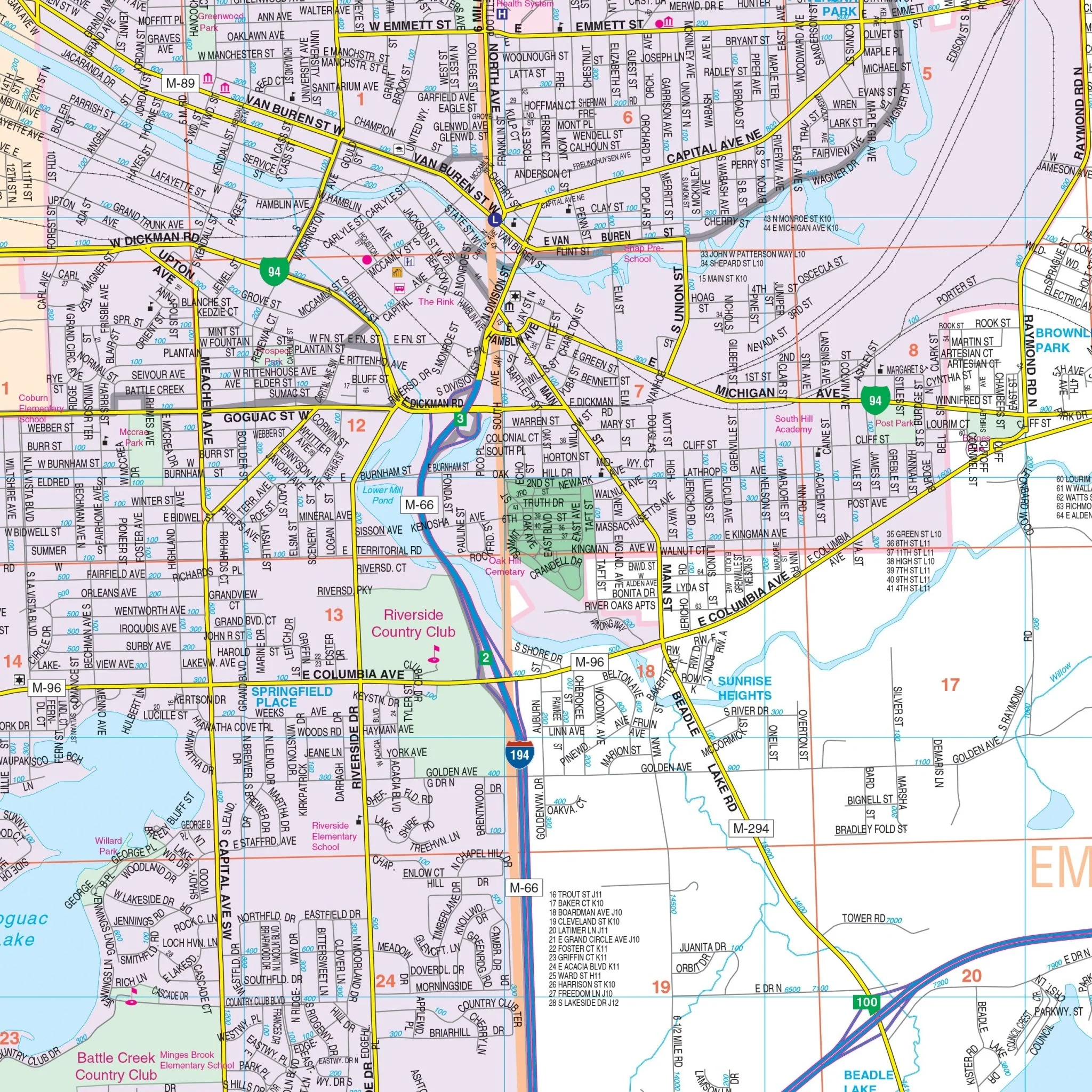
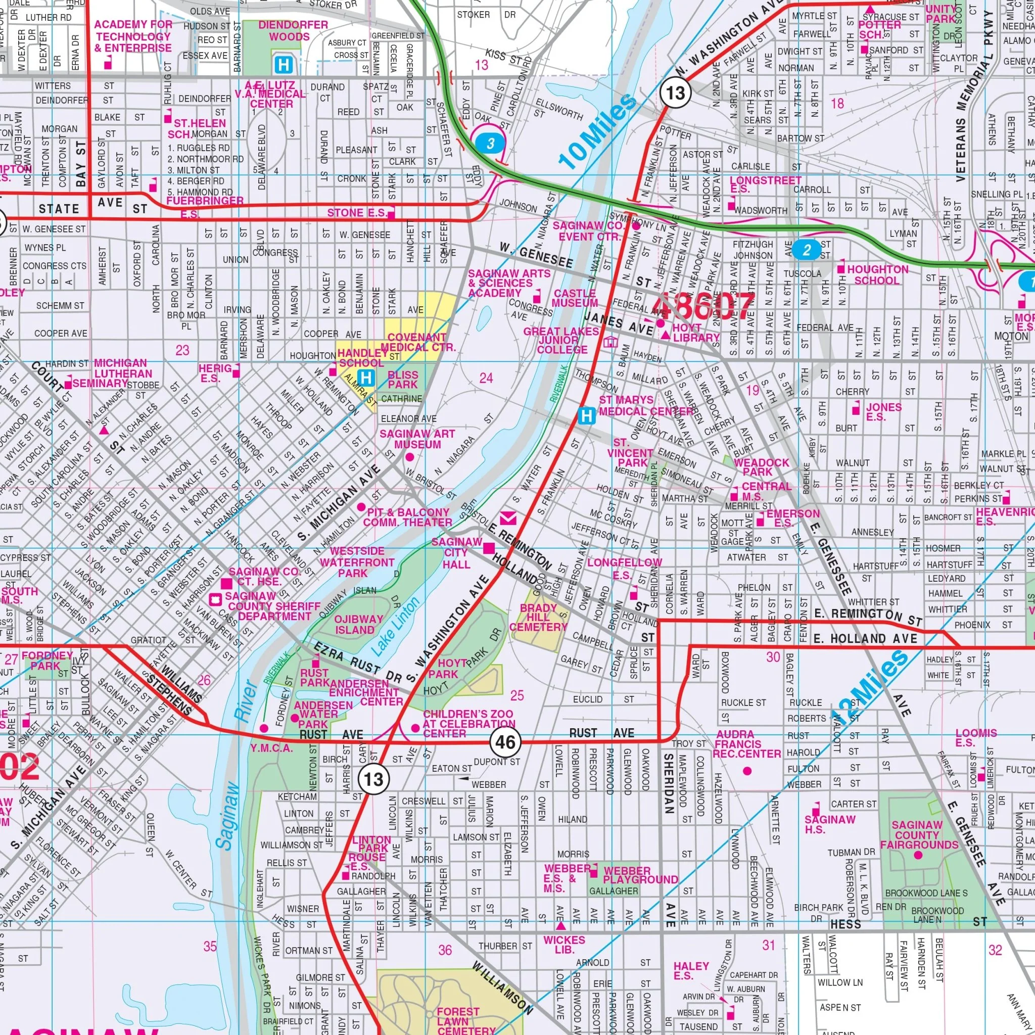
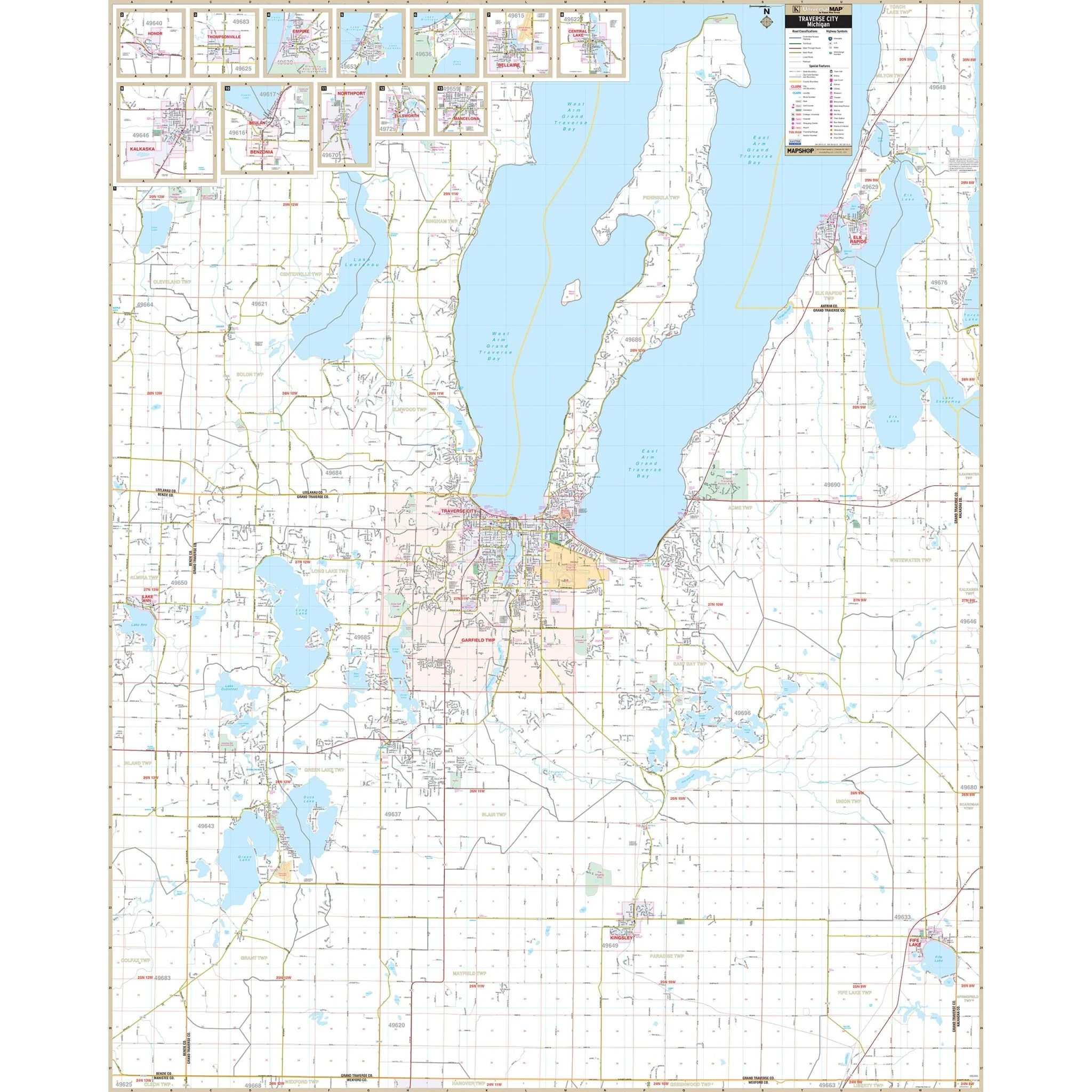
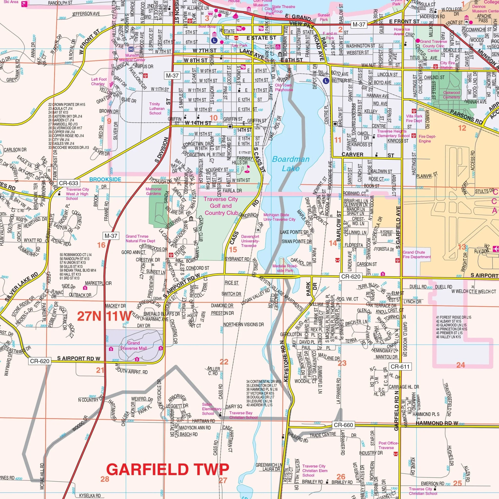
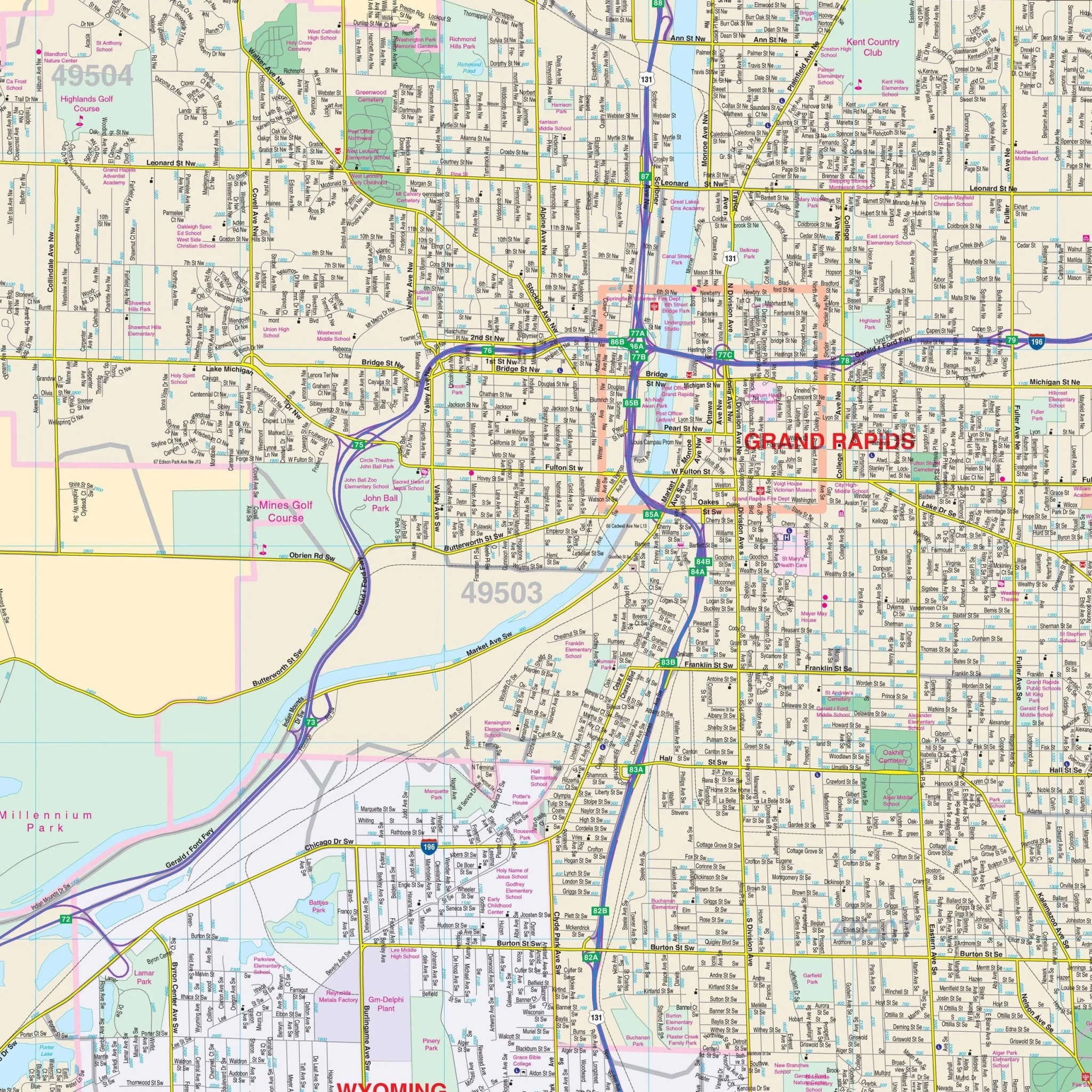
This map provides complete street detail, ensuring you have access to the information you need for your journey. It also includes inset maps of Kent County and Downtown Grand Rapids.
Key details featured on this map encompass streets, airports, government buildings, post offices, cemeteries, fire and police stations, hospitals, shopping centers, educational institutions, railroads, water features, golf and country clubs, mileage circles, recreational parks, ZIP codes and boundaries, and block numbers.
Embark on your exploration of Grand Rapids, MI, equipped with this informative wall map, designed to enhance your navigation and understanding of the area.
Size: 65" x 66.25"
Published: 2012
Original: $149.99
-70%$149.99
$45.00Product Information
Product Information
Shipping & Returns
Shipping & Returns
Description
Discover the Grand Rapids, MI Wall Map, a valuable tool for your navigation and reference needs, covering the city of Grand Rapids and its surroundings.
The area of coverage includes:
- North: Extending to Rockford.
- South: Extending to the Kent County line.
- East: Extending to Cascade and Gerald R Ford International Airport.
- West: Extending to Georgetown Township in Ottawa County.
This map provides complete street detail, ensuring you have access to the information you need for your journey. It also includes inset maps of Kent County and Downtown Grand Rapids.
Key details featured on this map encompass streets, airports, government buildings, post offices, cemeteries, fire and police stations, hospitals, shopping centers, educational institutions, railroads, water features, golf and country clubs, mileage circles, recreational parks, ZIP codes and boundaries, and block numbers.
Embark on your exploration of Grand Rapids, MI, equipped with this informative wall map, designed to enhance your navigation and understanding of the area.
Size: 65" x 66.25"
Published: 2012