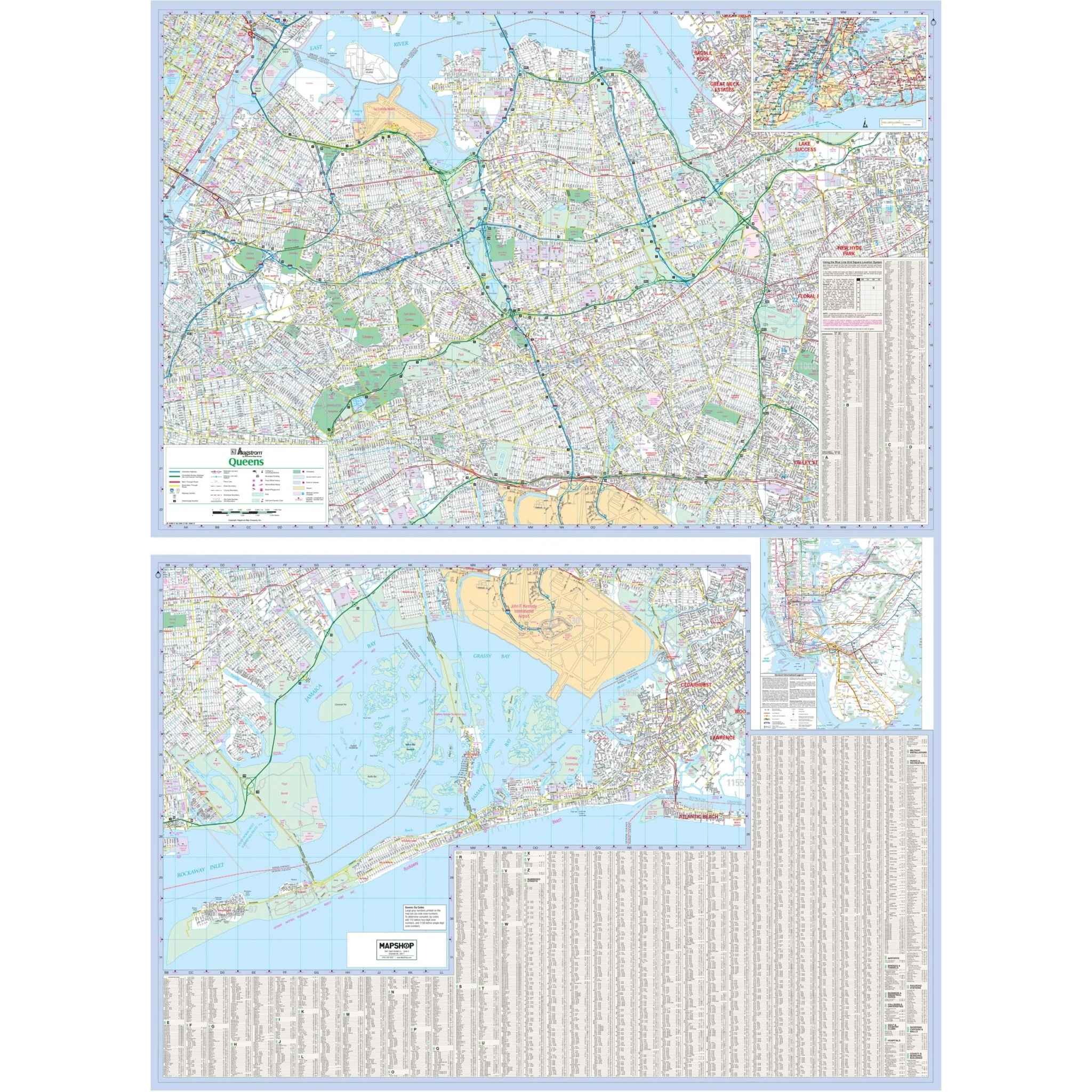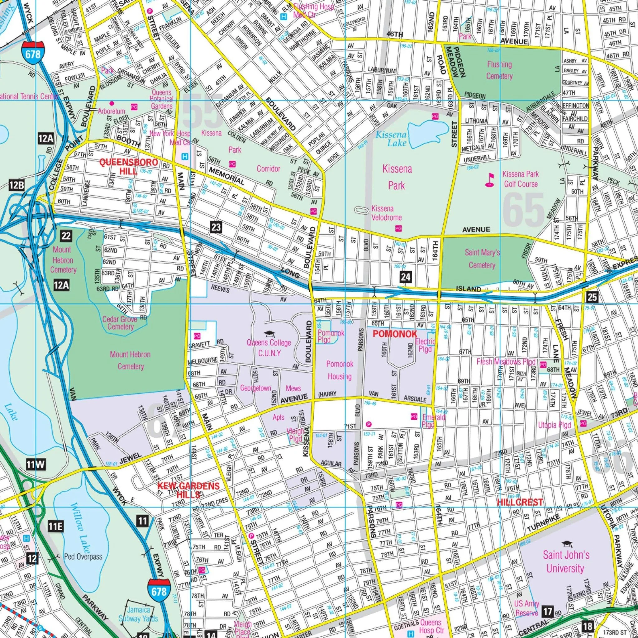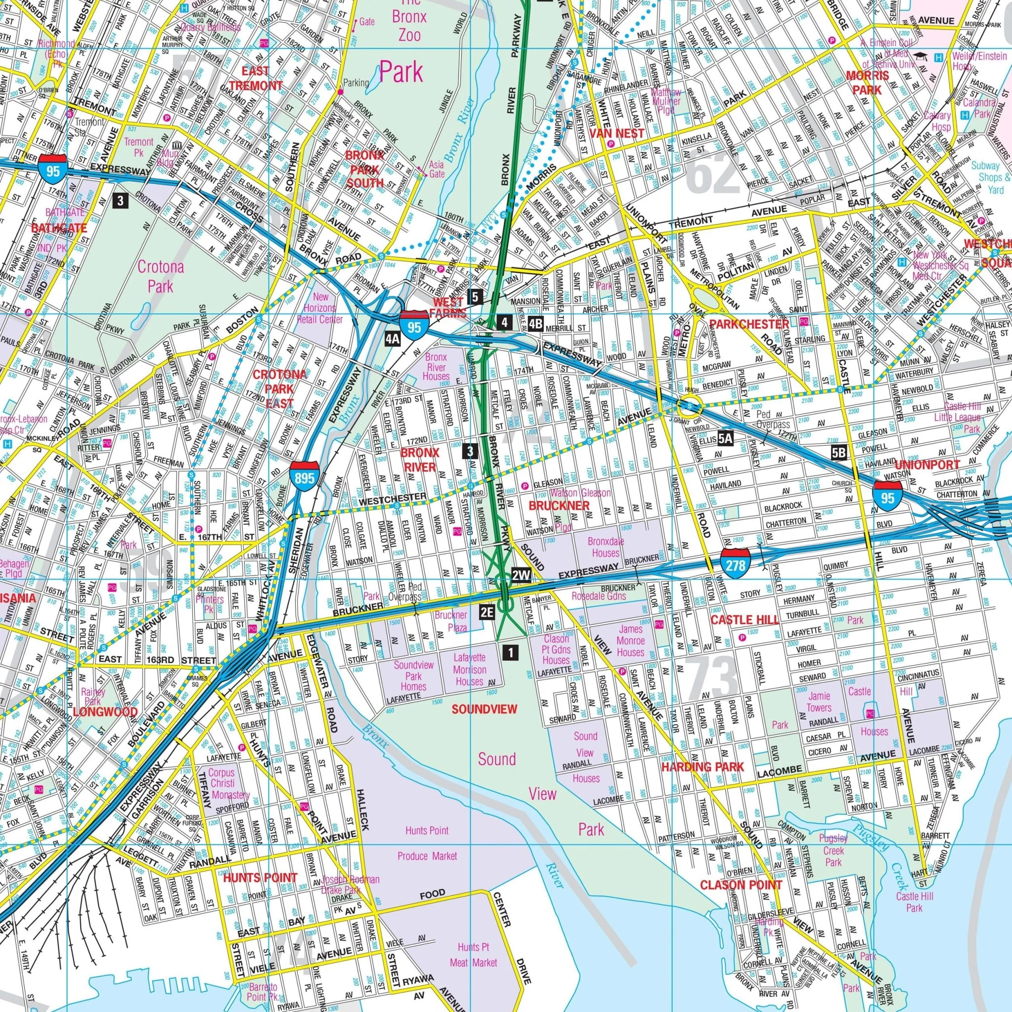


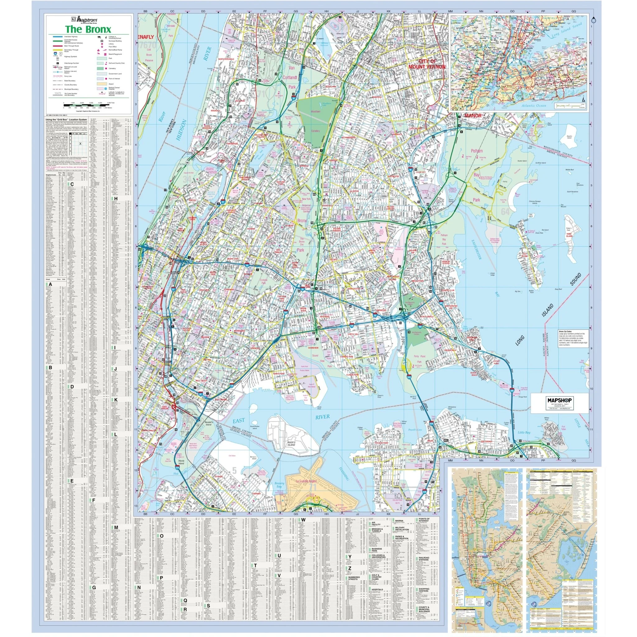


Bronx, NY Wall Map
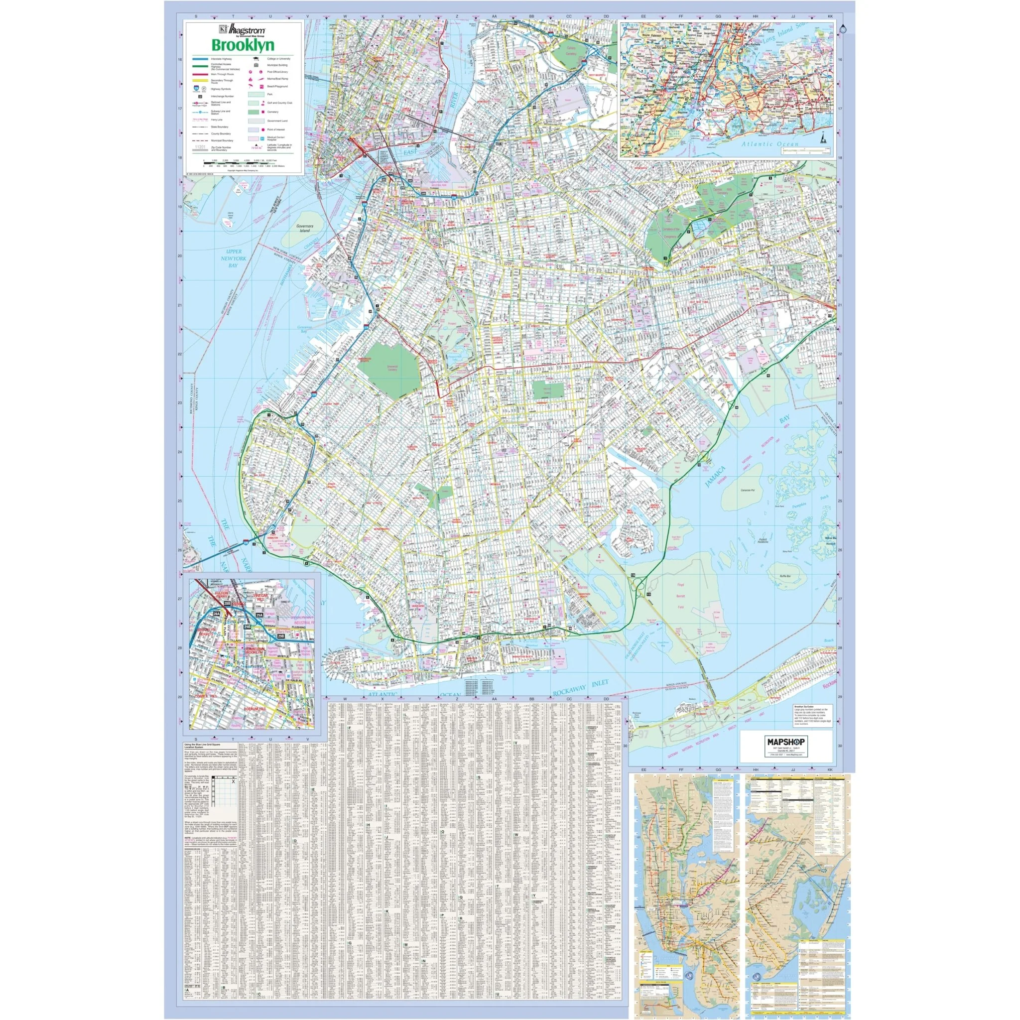
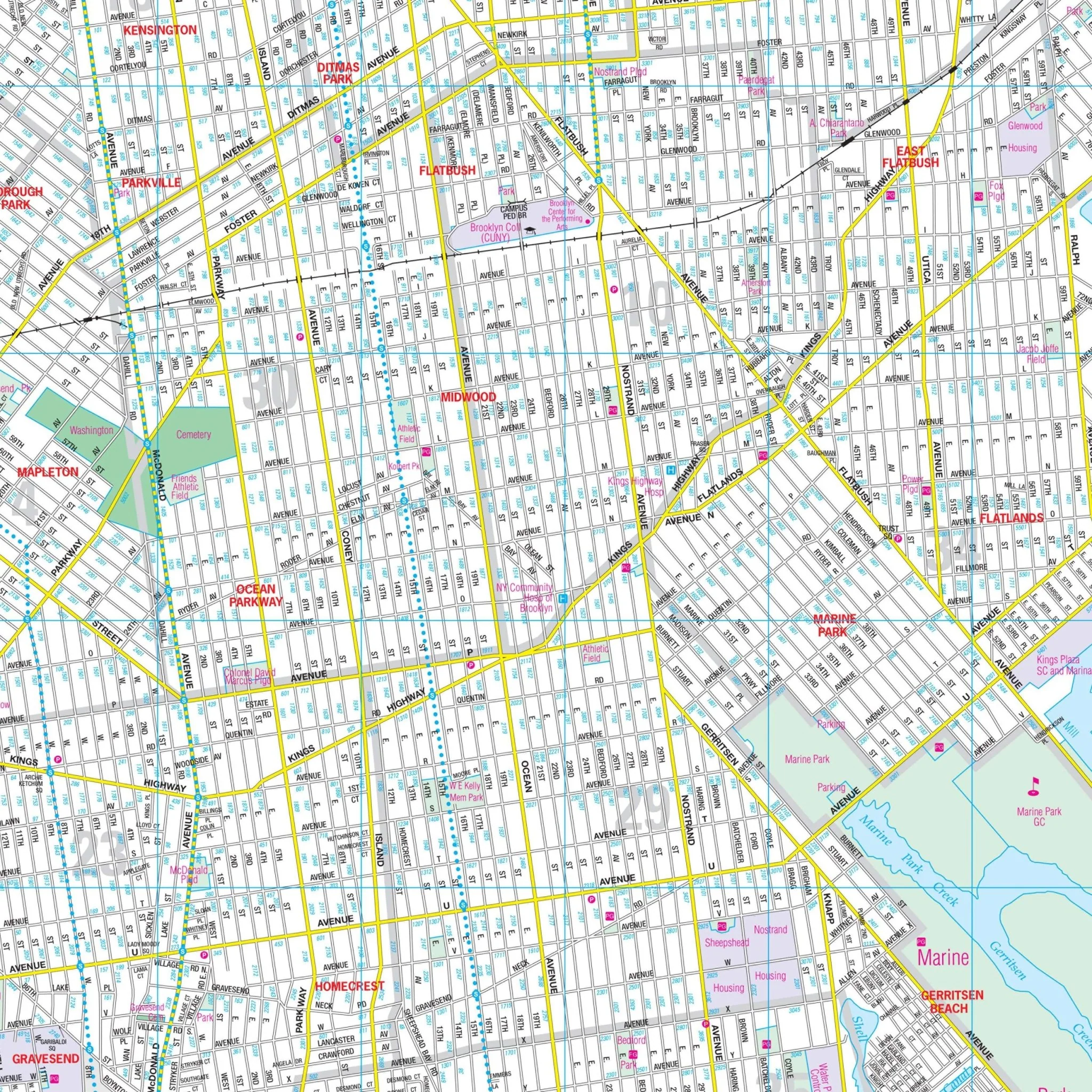
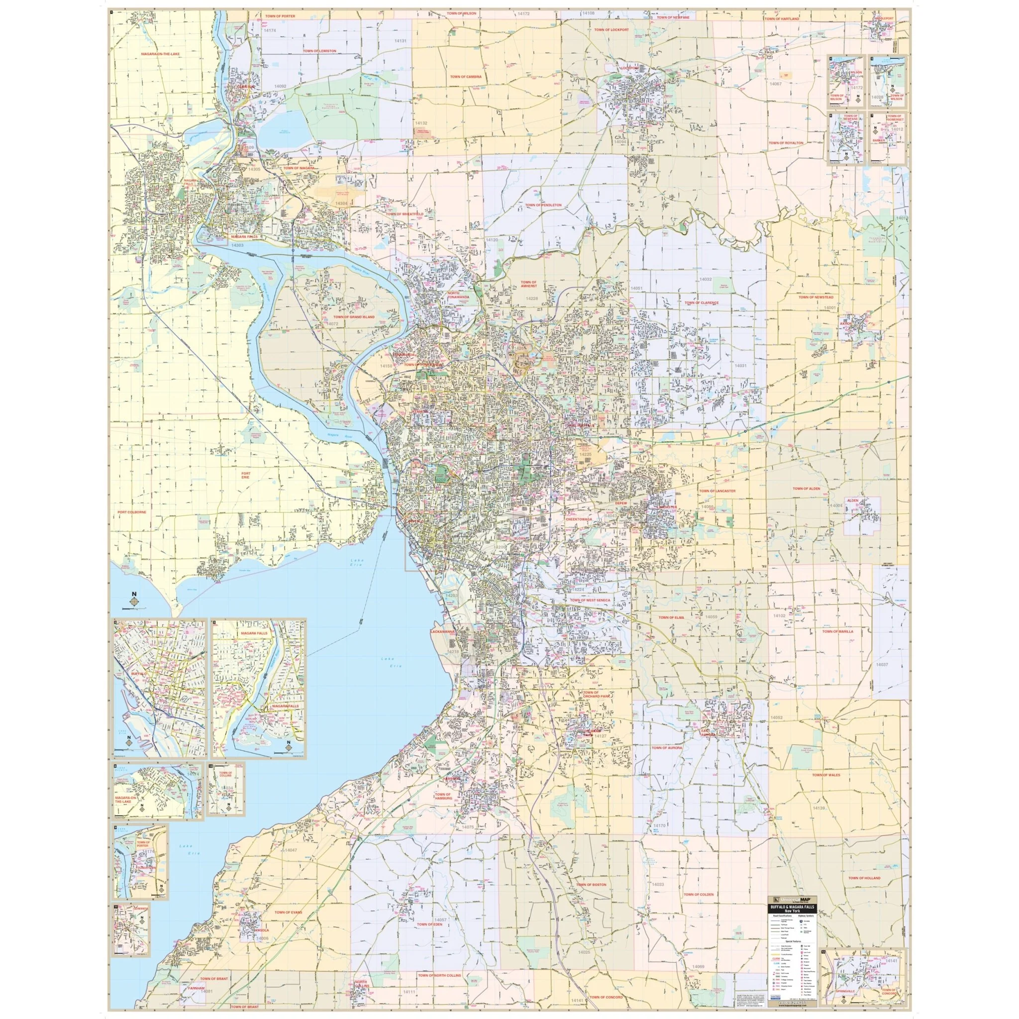
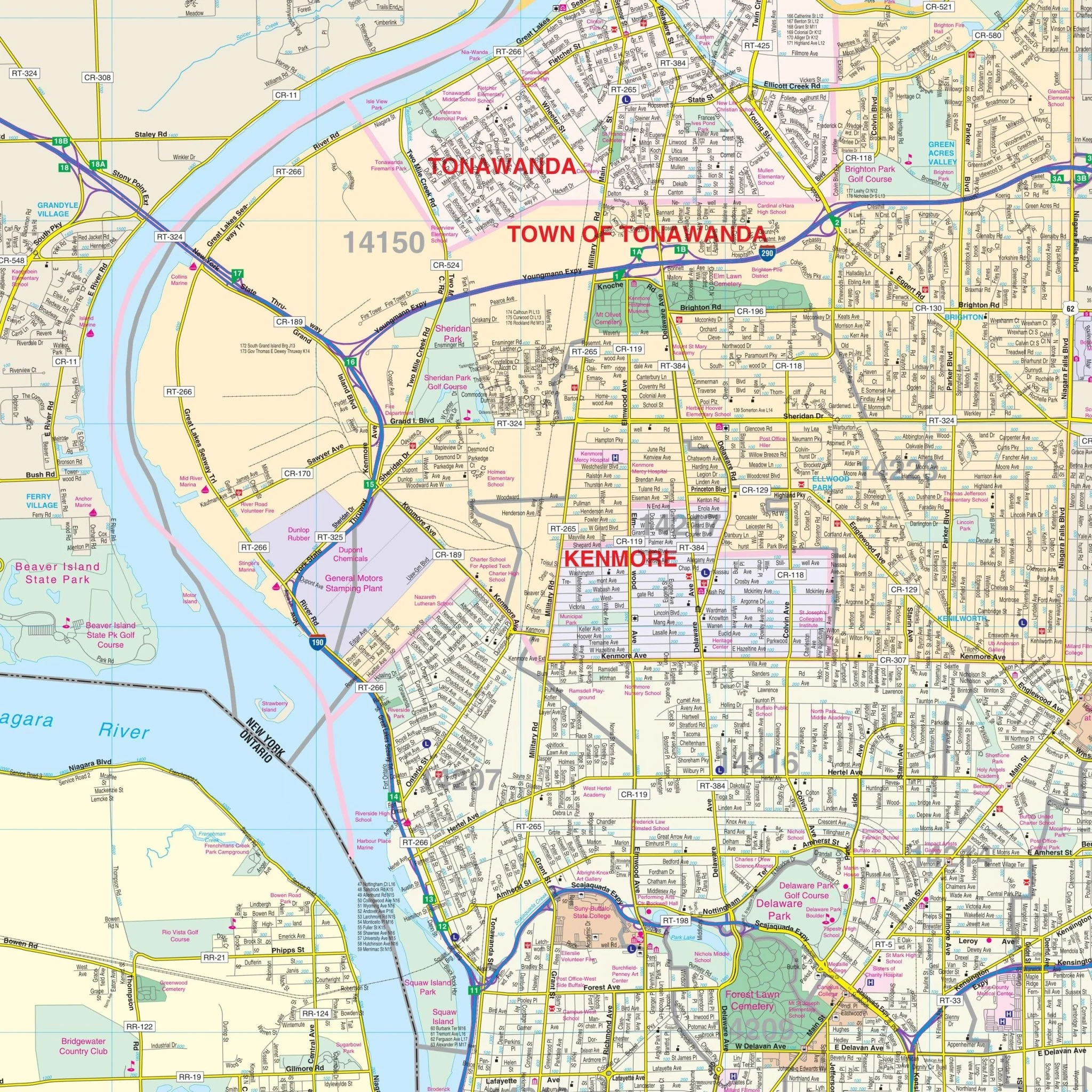
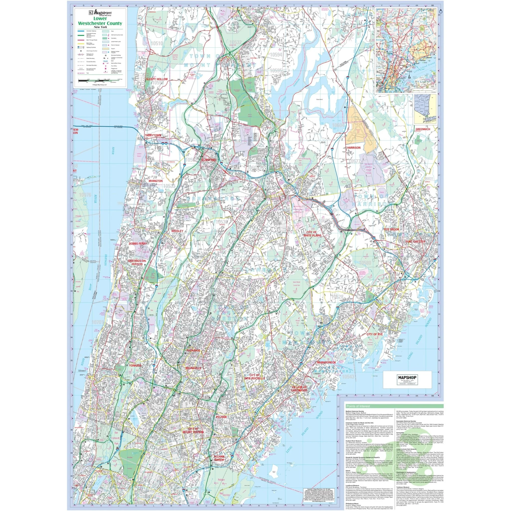
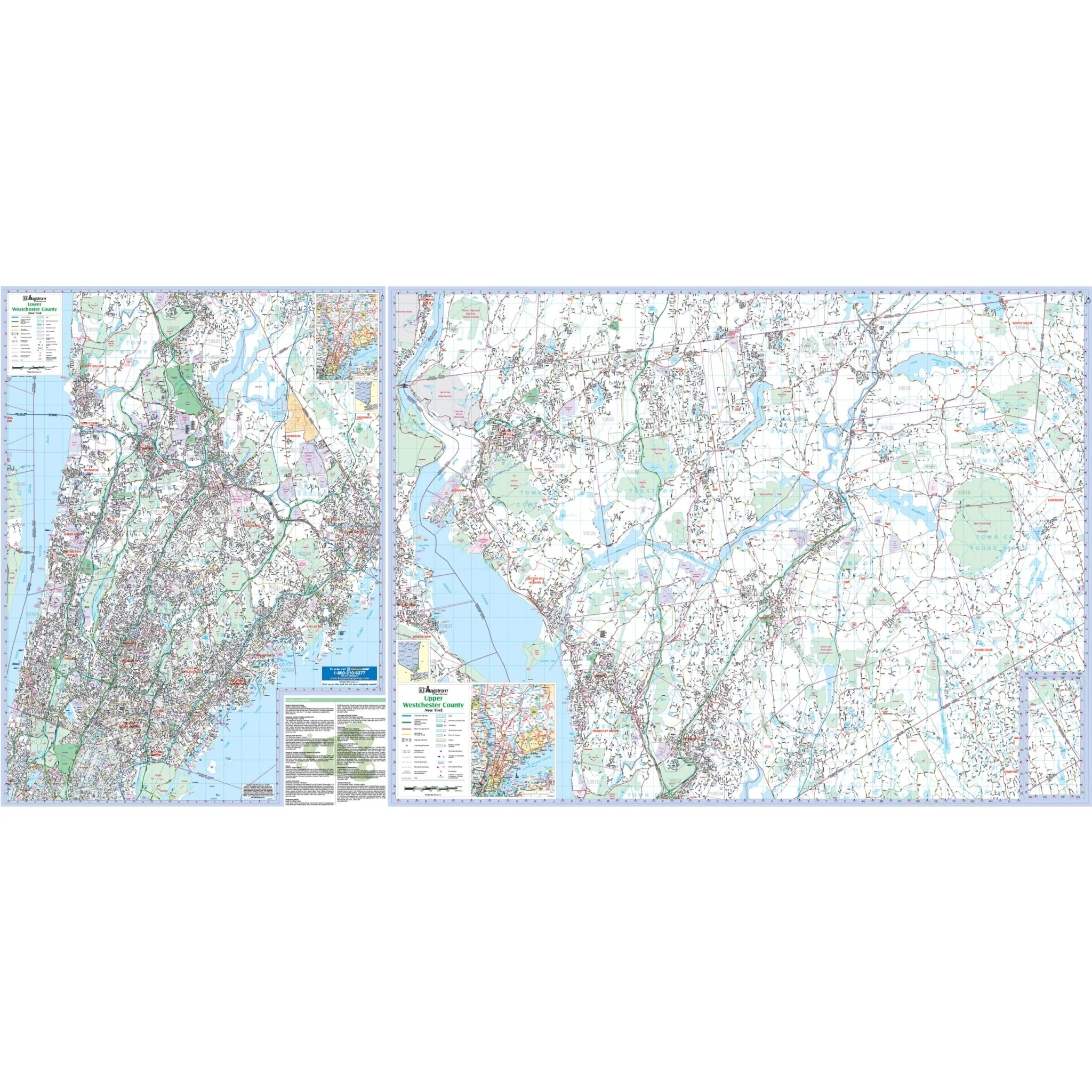
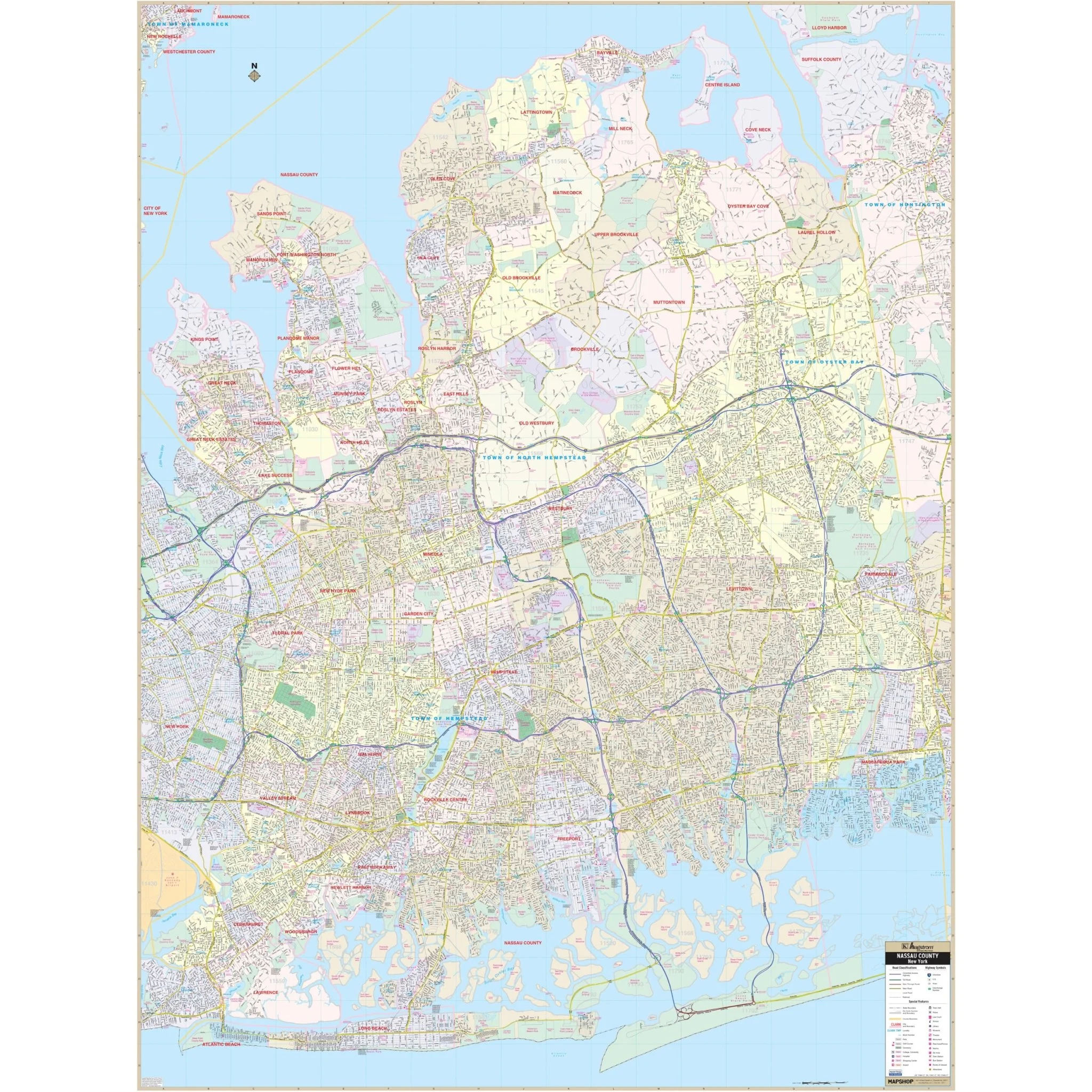
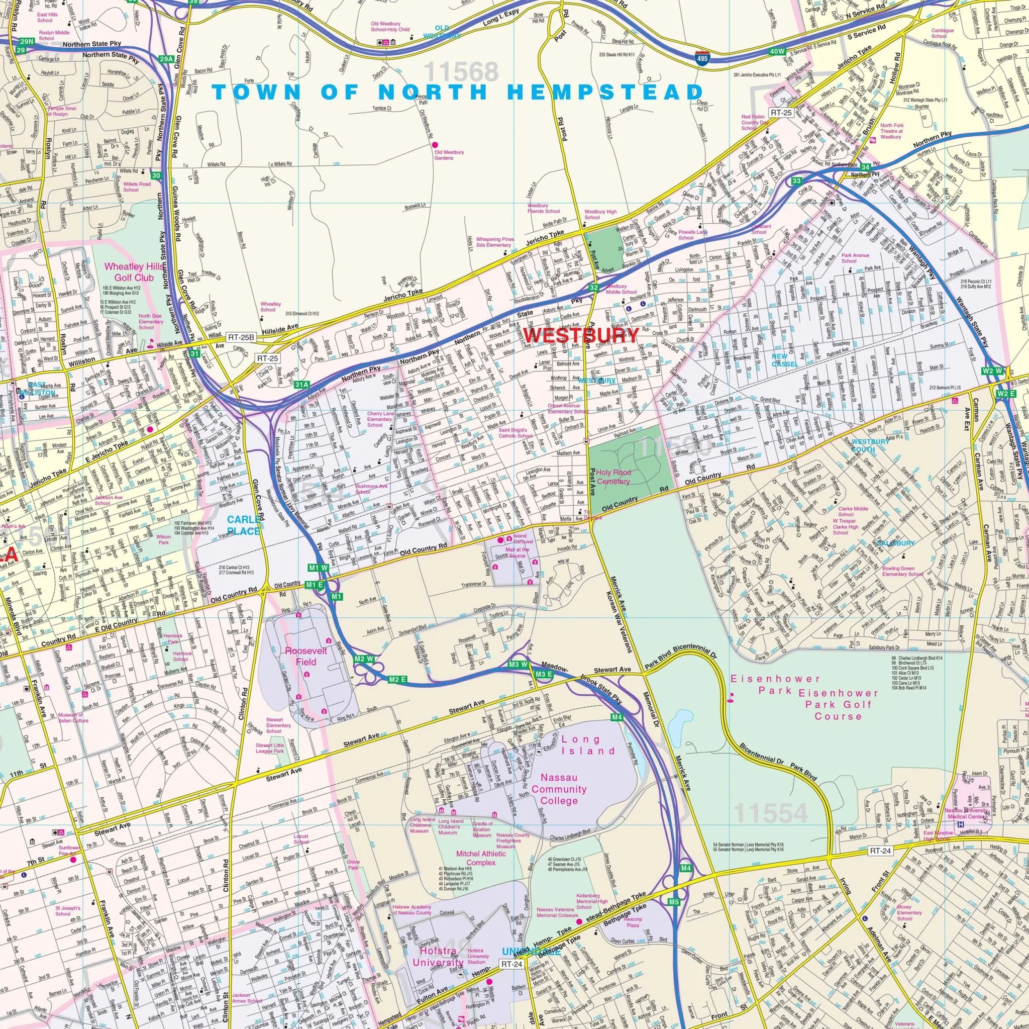
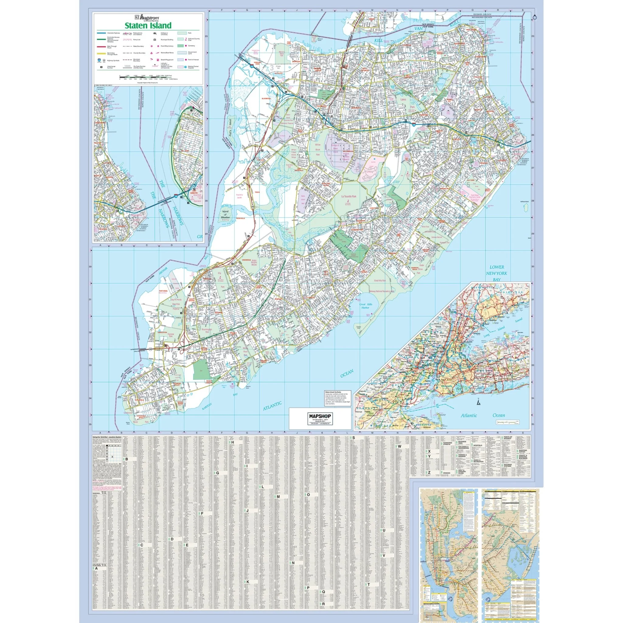
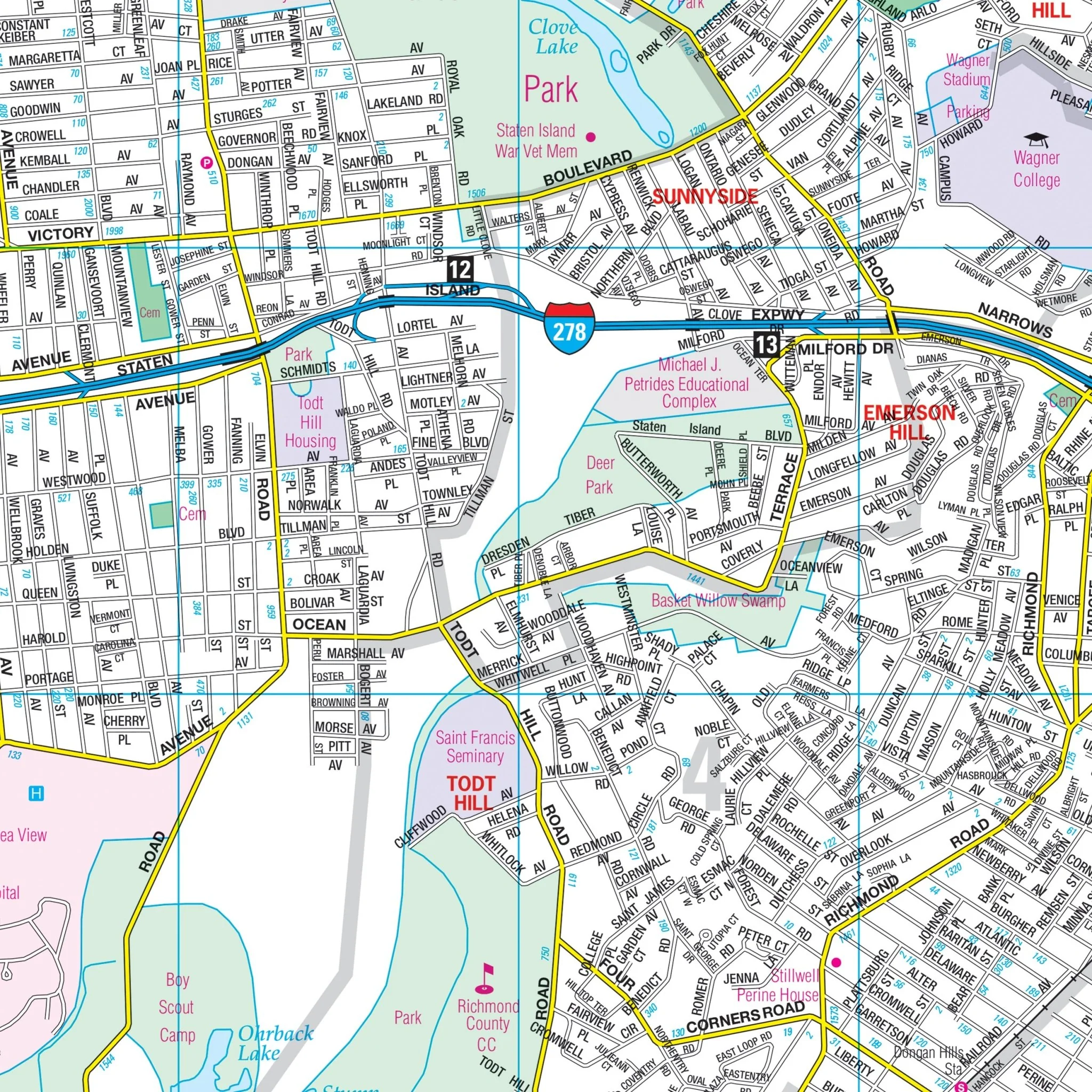
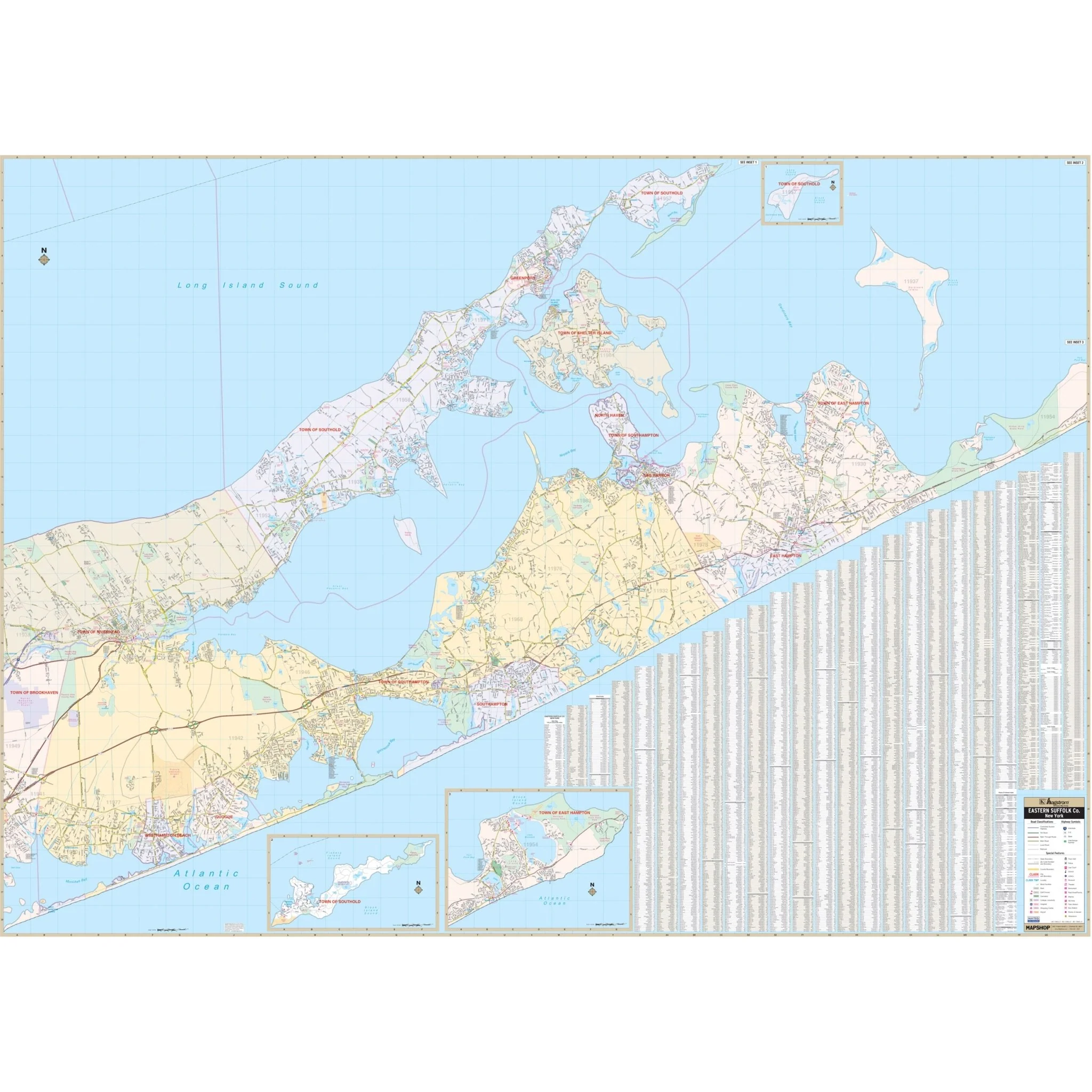
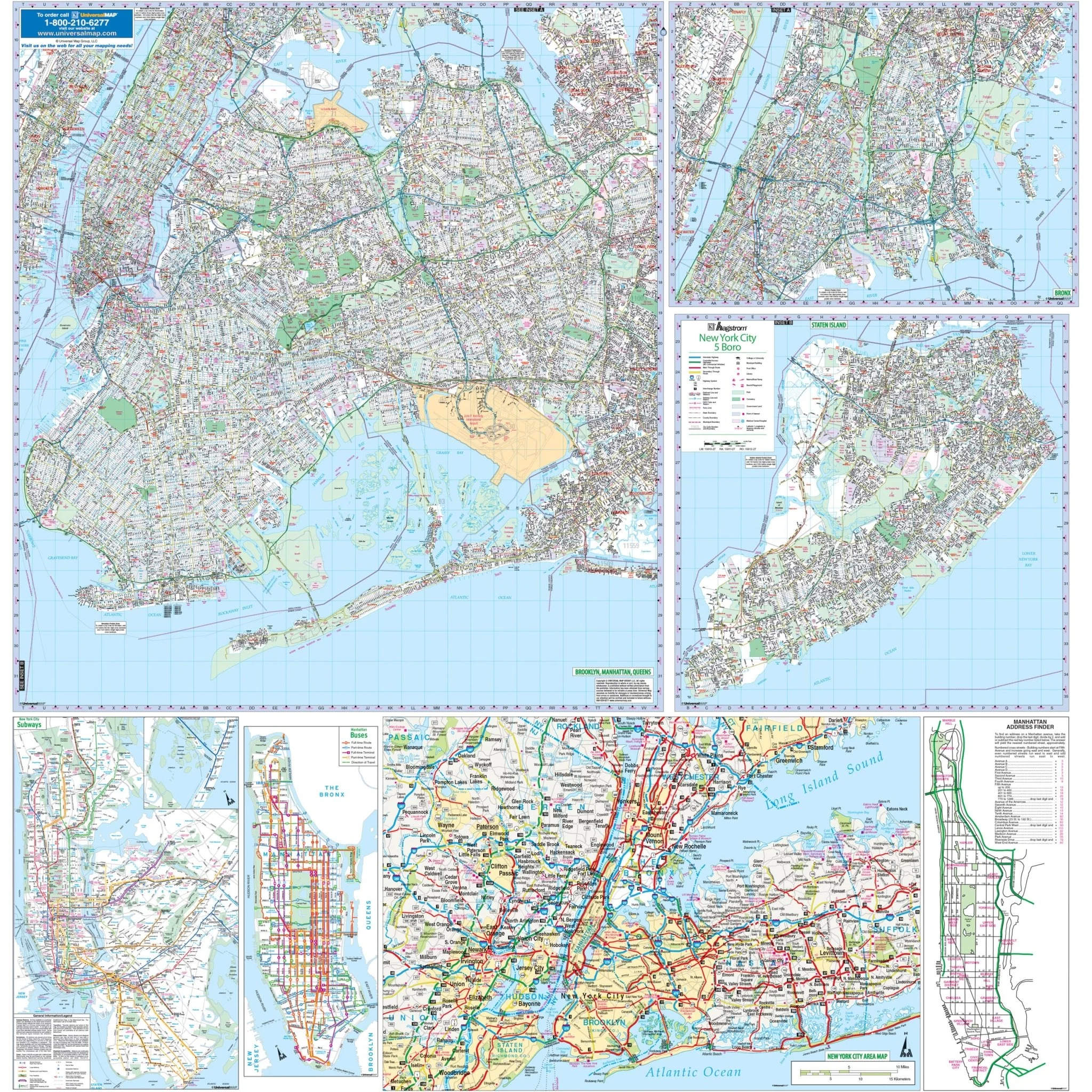
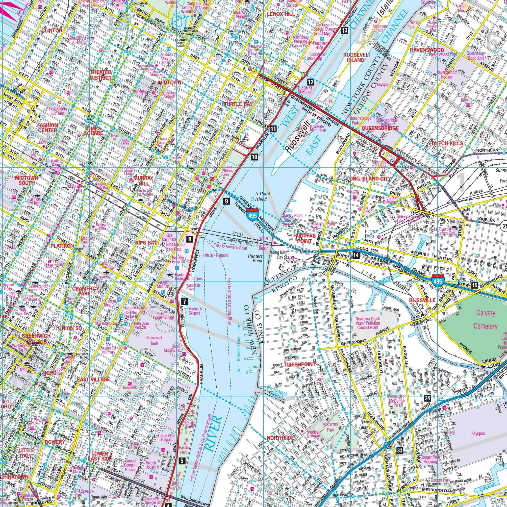
The Bronx, NY Wall Map Available from UniversalMAP UniversalMAP's wall map of The Bronx, NY by Hagstrom. Specifications of this high quality map include: Measures 4'3" W x 4" 11" H (51Ò x 59") At a scale of 1" = 1,230 feet. Areas of Coverage: The New York City borough of The Bronx. Coverage includes North: portions of Yonkers, Mount Vernon in Westchester County; South: to La Guardia Airport; East: to Long Island Sound including City Island & Hart Island; West: portions of Manhattan. NYC Subway Transit System Inset. Details include: All streets, State & County Highways, Interstate Highways, Subway & Railroad lines, Cemeteries, Neighborhood Names, Schools, Parks & Golf Courses, Points of Interest, Post Offices, Hospitals, ZIP Codes & boundaries, Block Numbers, Longitude & Latitude. 51" x 59"
Size: 51" x 56.5"
Published: 2011
Select Map Size
Select Map Finish
From $42.00
Original: $139.99
-70%Bronx, NY Wall Map—
$139.99
$42.00Product Information
Product Information
Shipping & Returns
Shipping & Returns
Description
The Bronx, NY Wall Map Available from UniversalMAP UniversalMAP's wall map of The Bronx, NY by Hagstrom. Specifications of this high quality map include: Measures 4'3" W x 4" 11" H (51Ò x 59") At a scale of 1" = 1,230 feet. Areas of Coverage: The New York City borough of The Bronx. Coverage includes North: portions of Yonkers, Mount Vernon in Westchester County; South: to La Guardia Airport; East: to Long Island Sound including City Island & Hart Island; West: portions of Manhattan. NYC Subway Transit System Inset. Details include: All streets, State & County Highways, Interstate Highways, Subway & Railroad lines, Cemeteries, Neighborhood Names, Schools, Parks & Golf Courses, Points of Interest, Post Offices, Hospitals, ZIP Codes & boundaries, Block Numbers, Longitude & Latitude. 51" x 59"
Size: 51" x 56.5"
Published: 2011