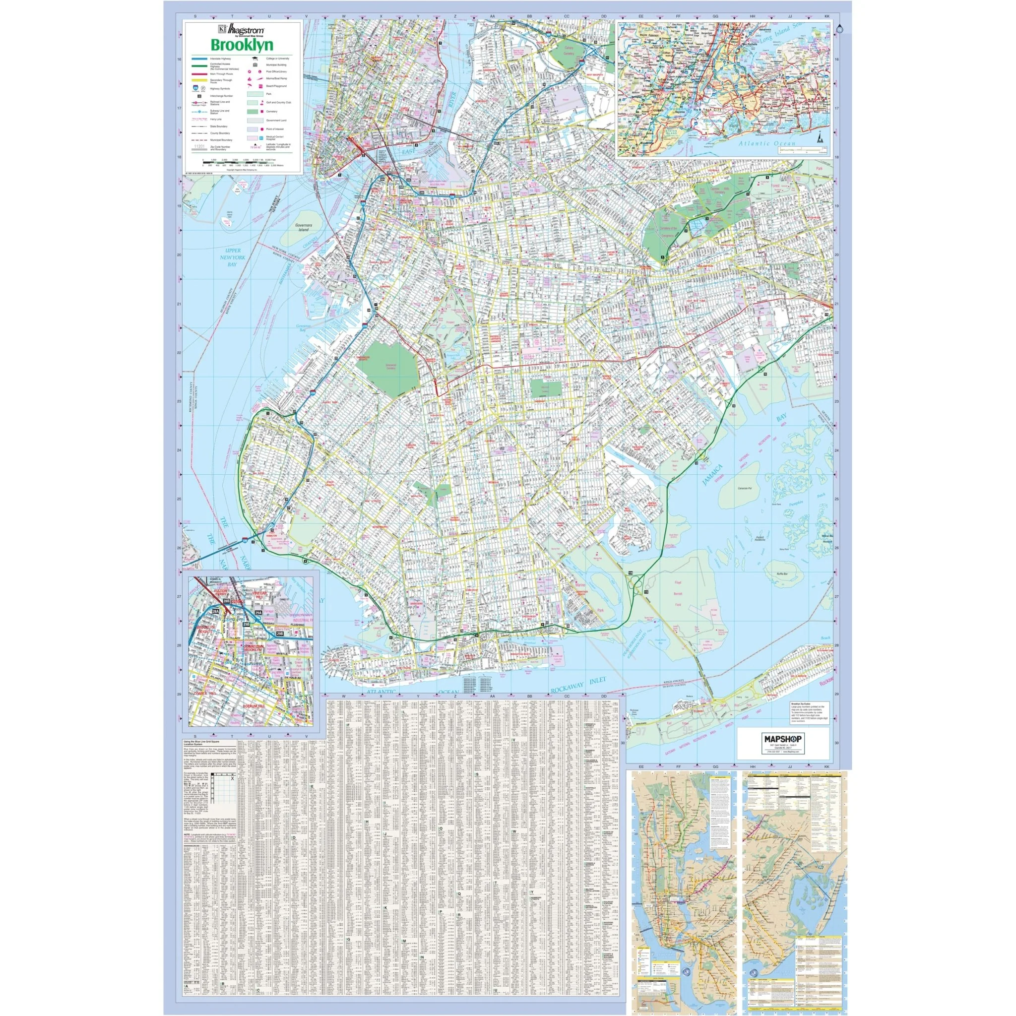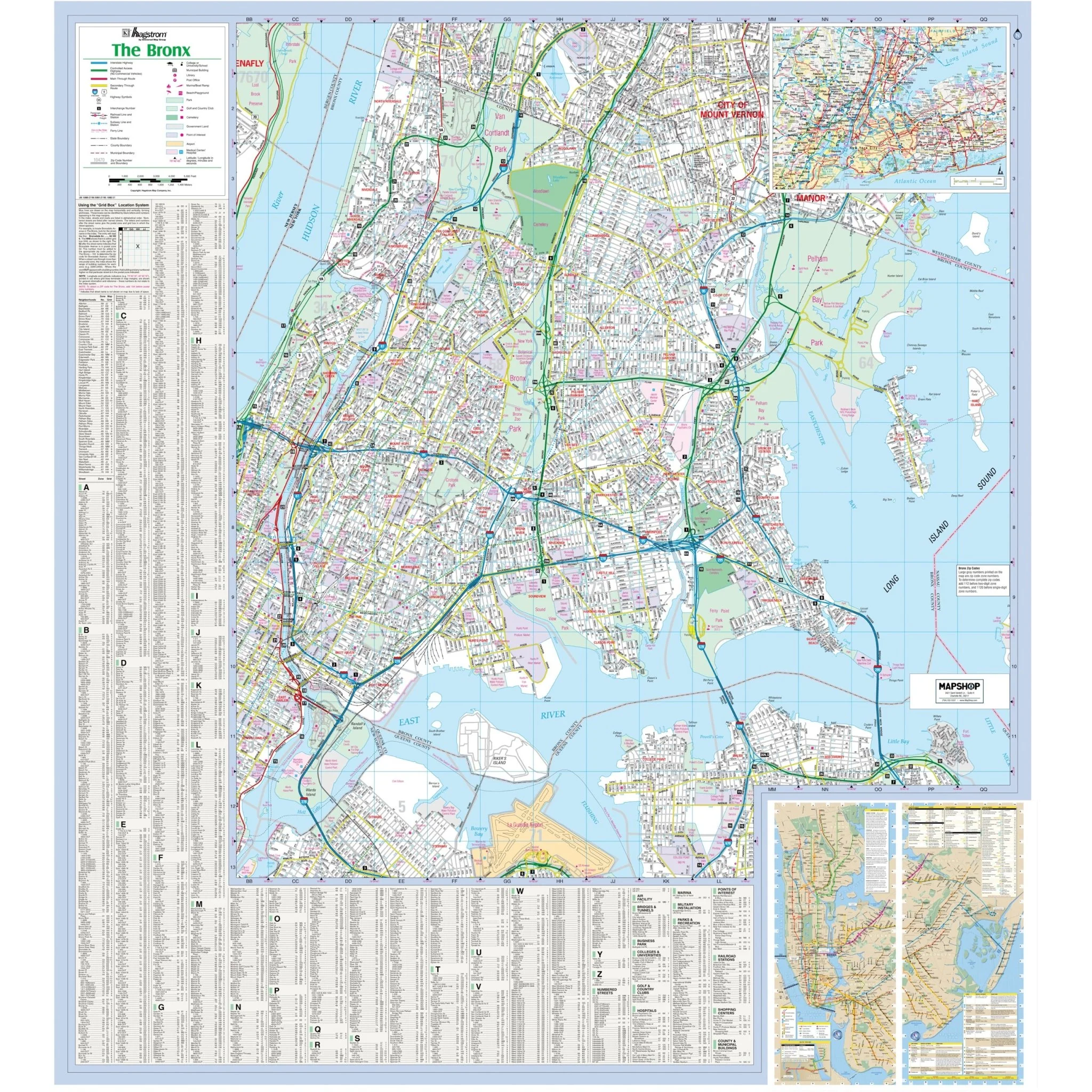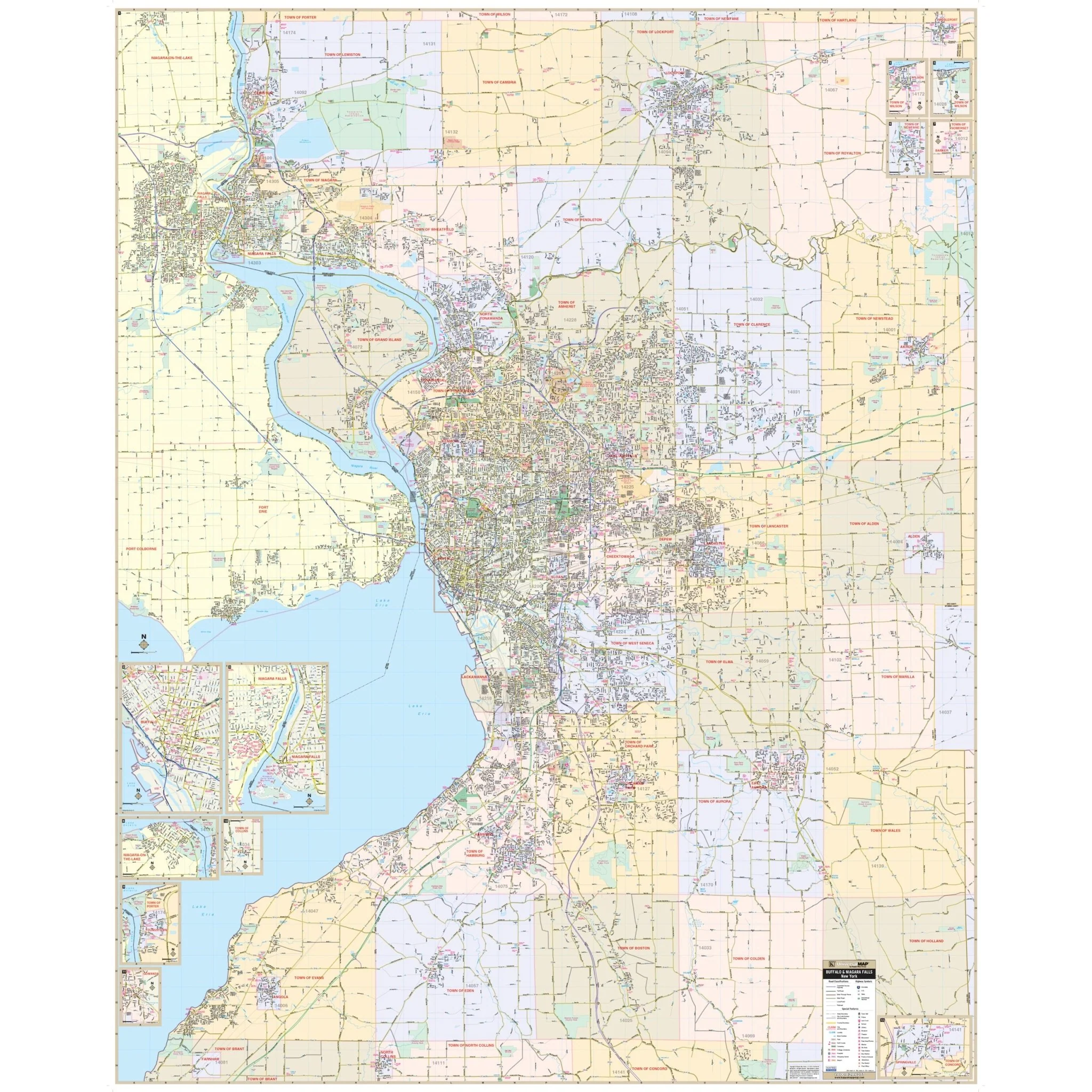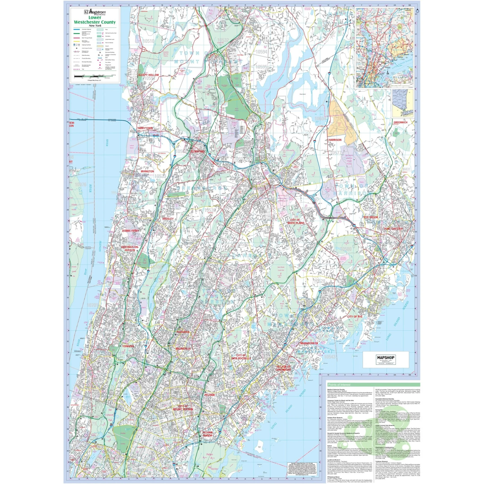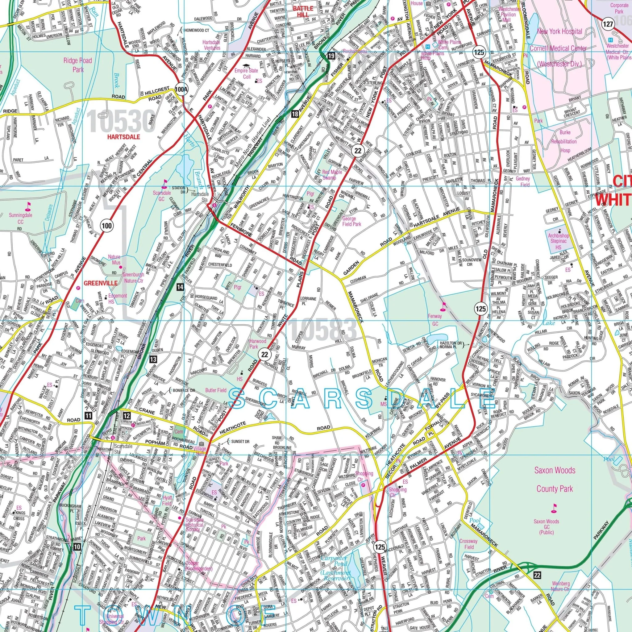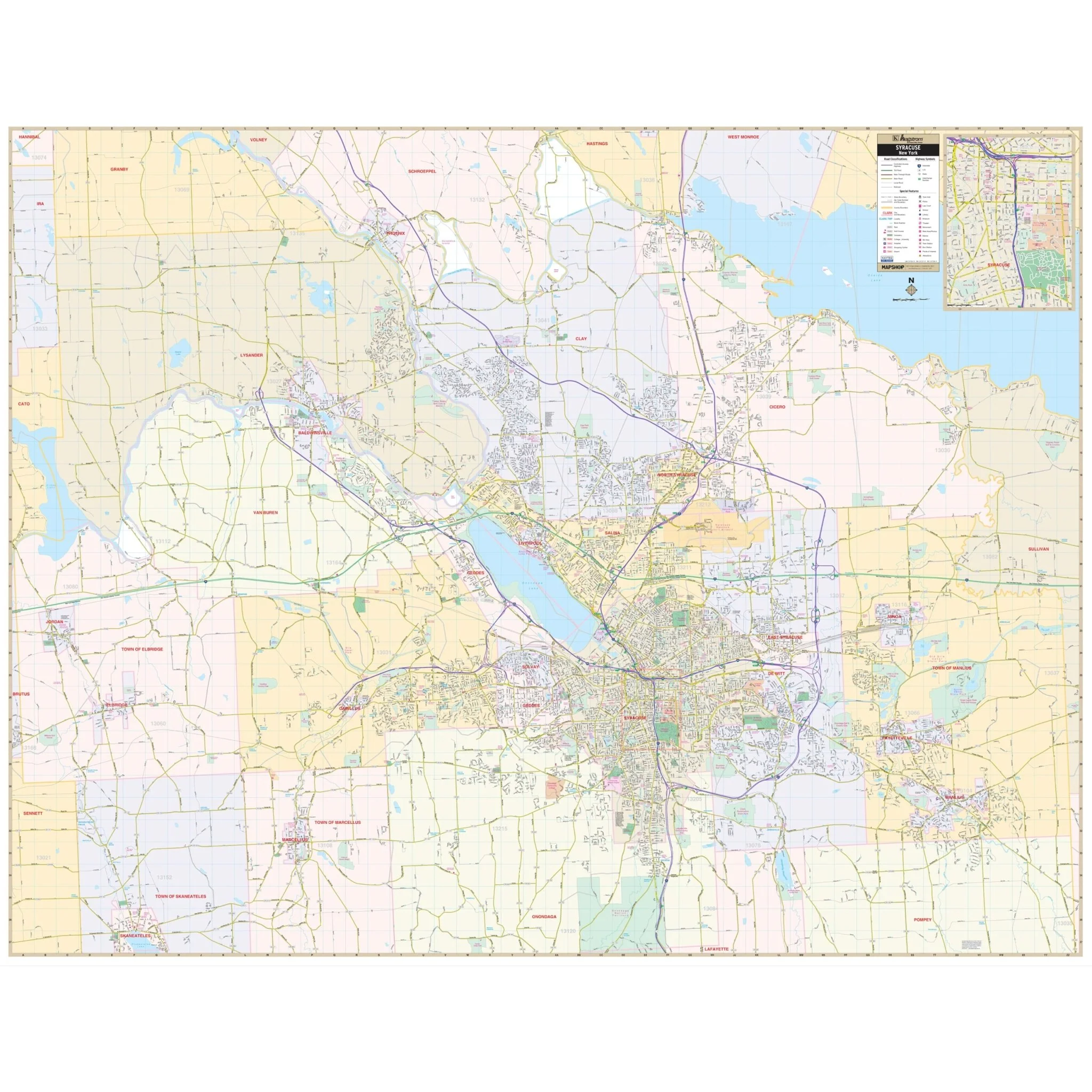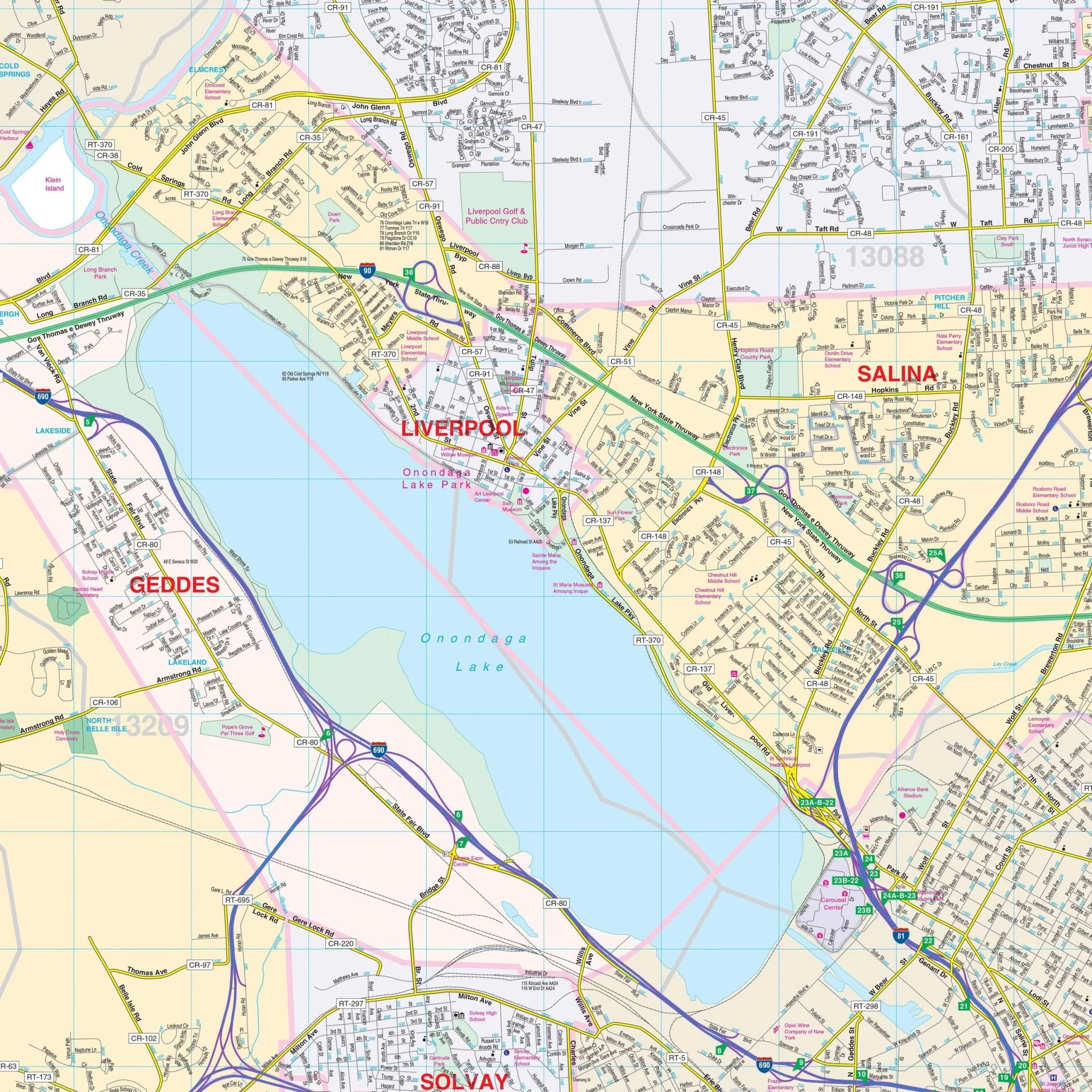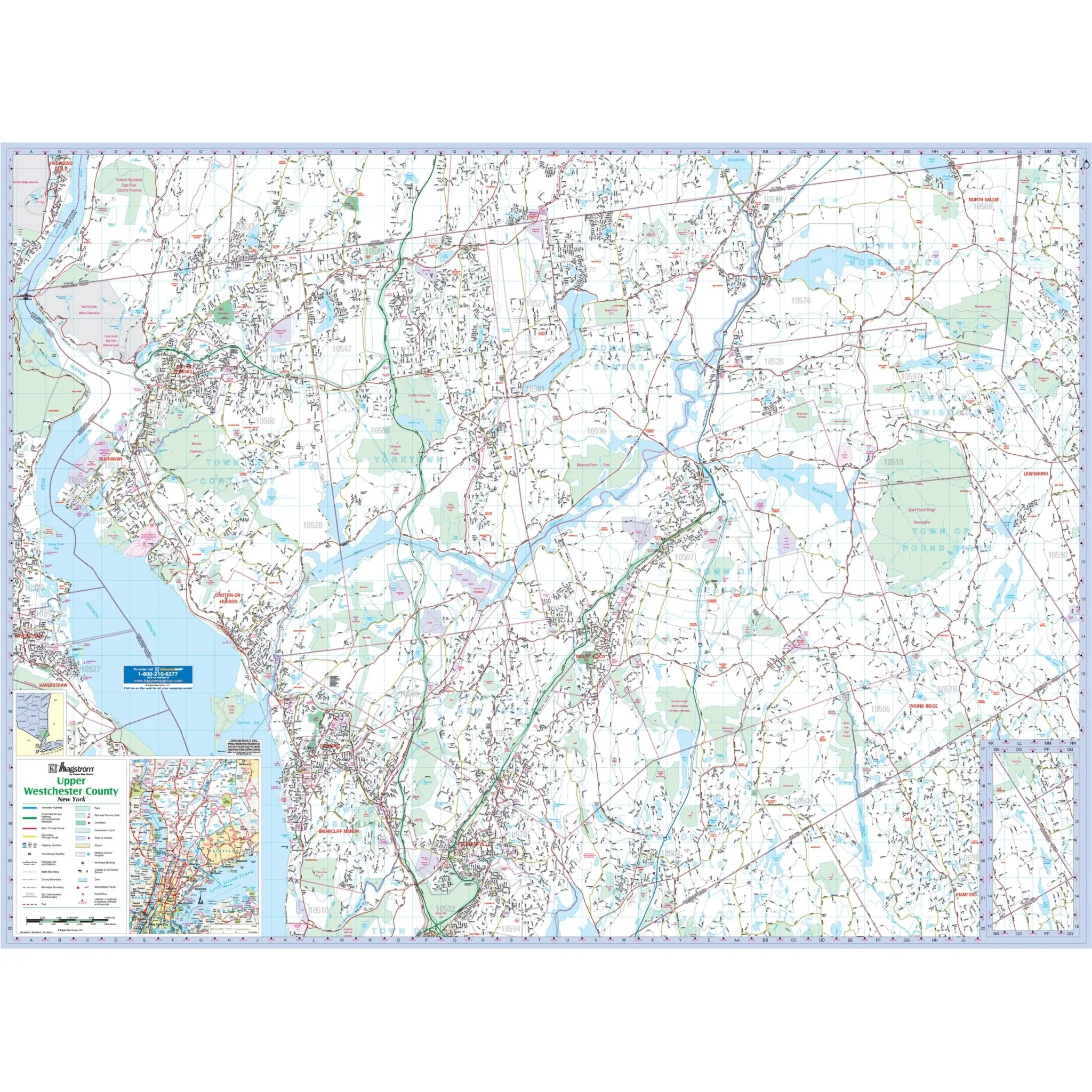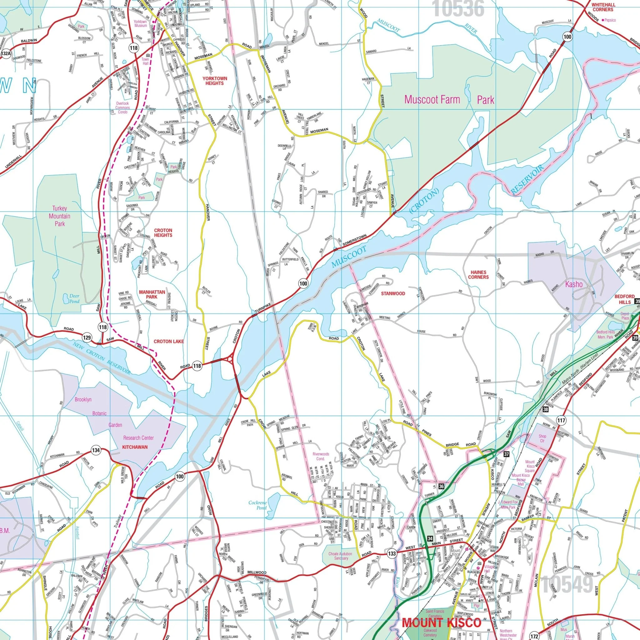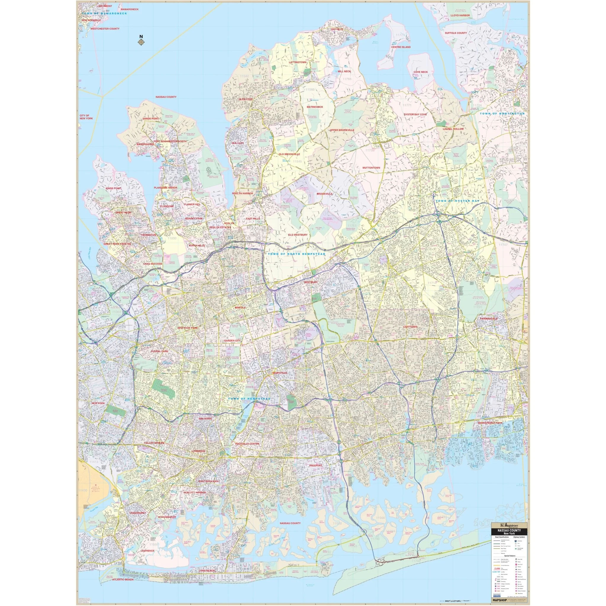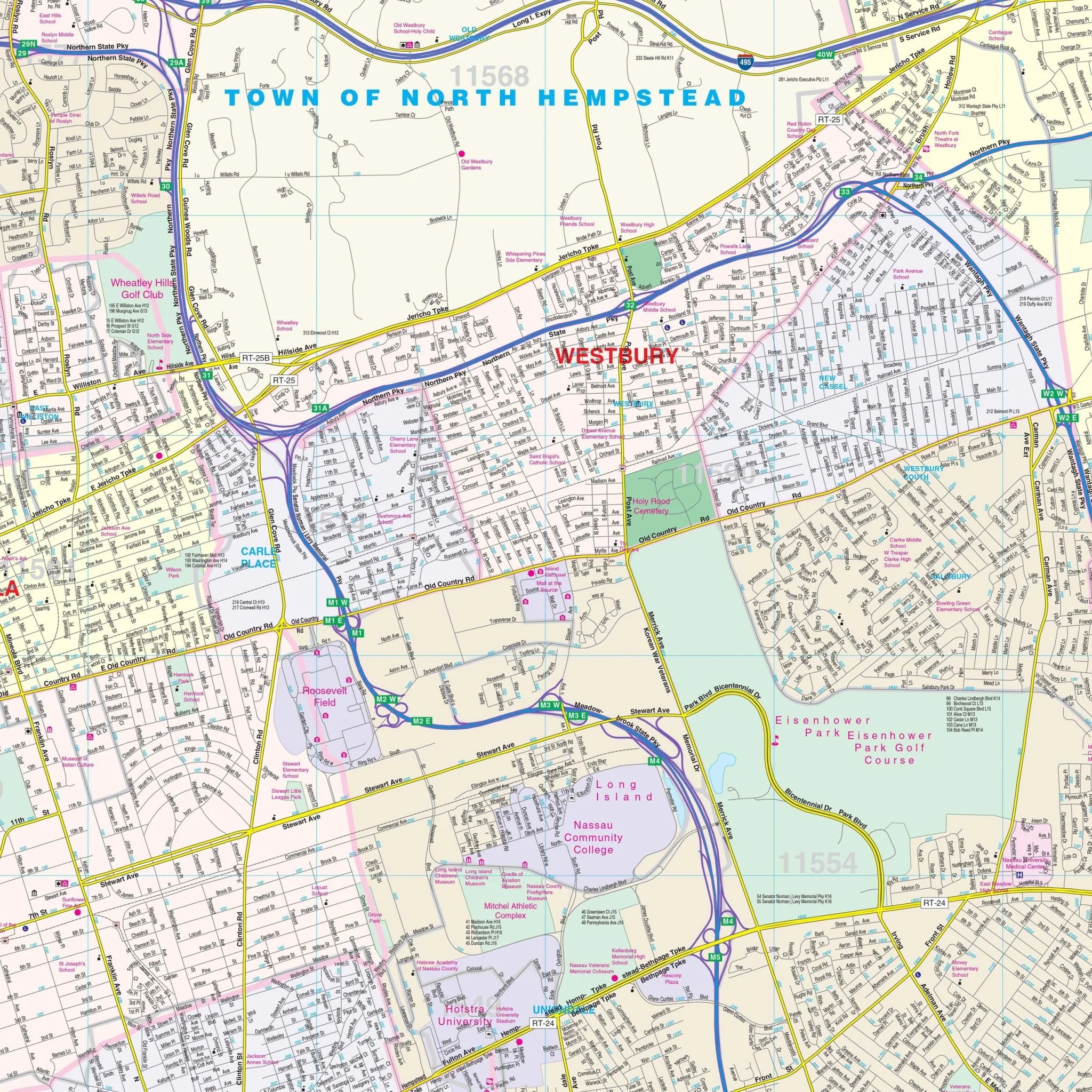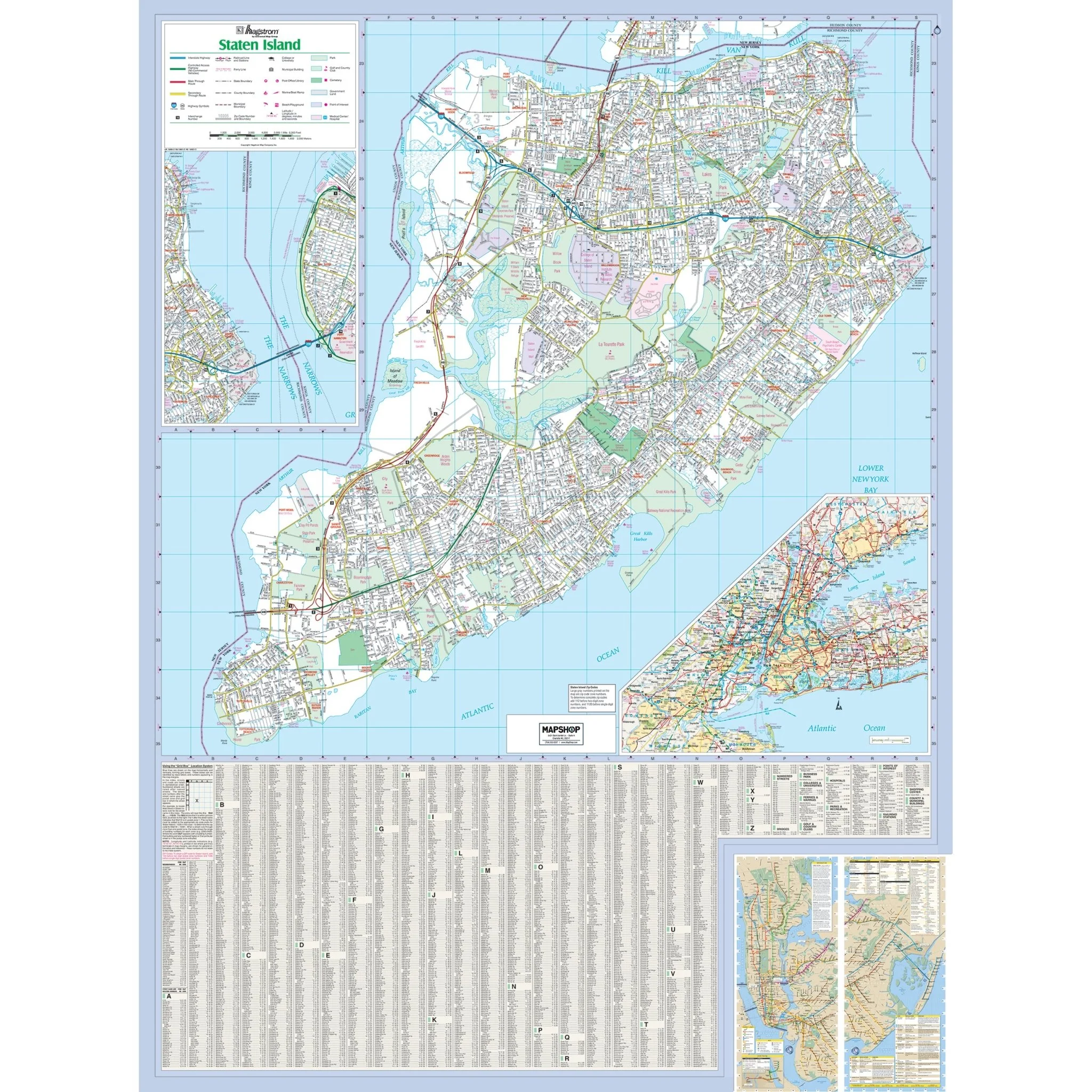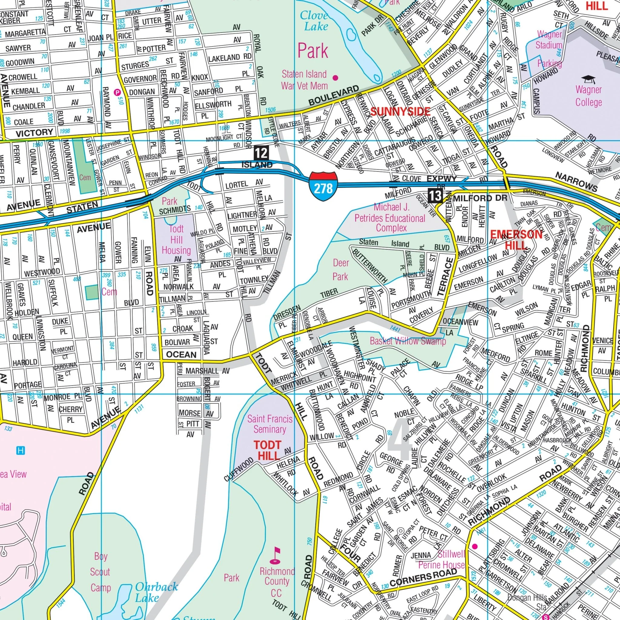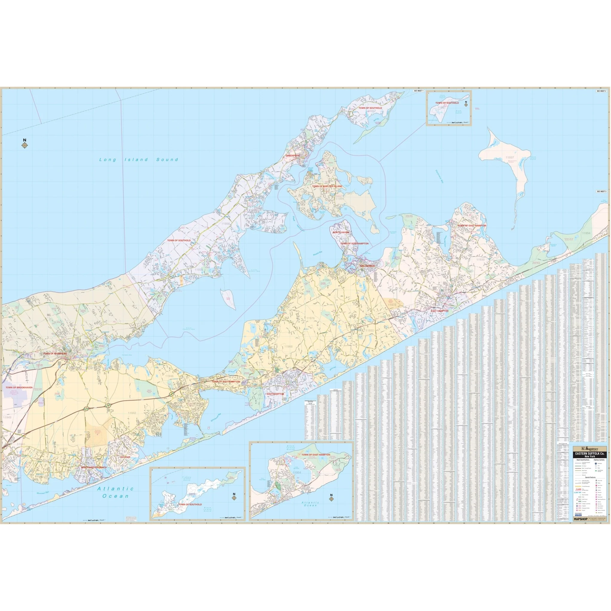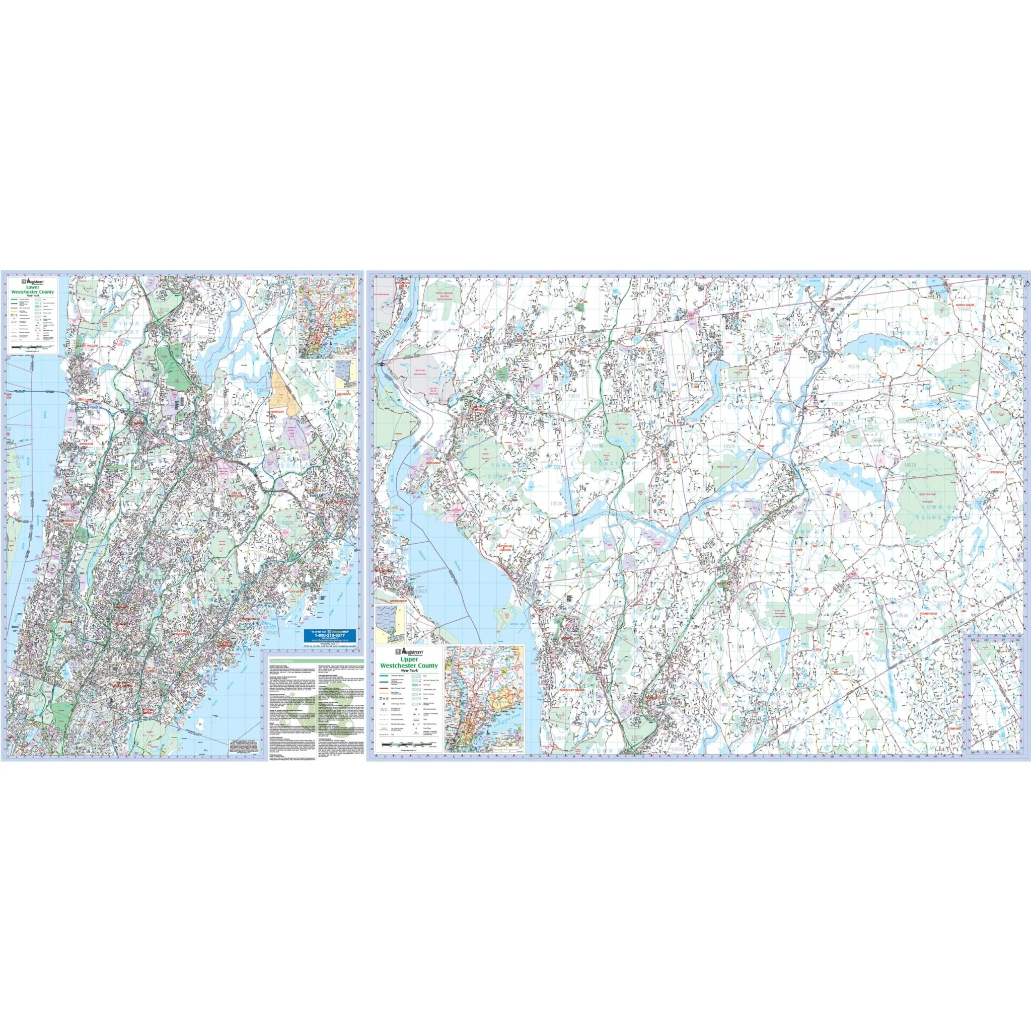
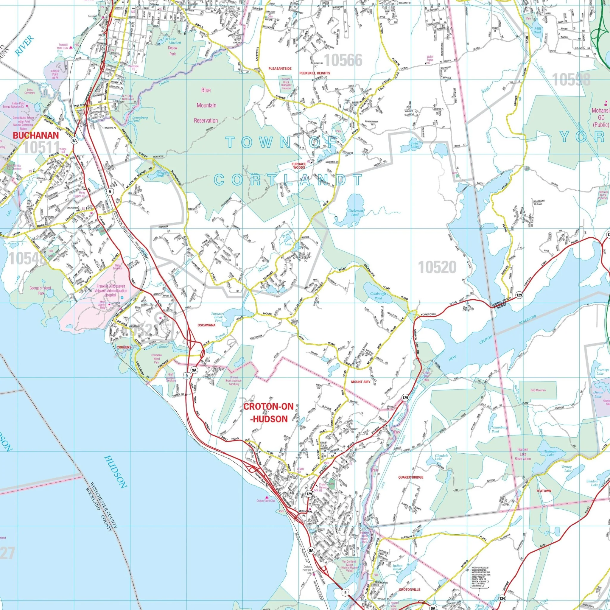


Westchester County, NY Wall Map
The Hagstrom Westchester County, NY Wall Map provides complete street detail and covers the following boundaries:
- North: Putnam-Westchester County line
- South: Bronx-Westchester County line
- East: Connecticut State line
- West: Rockland-Westchester County line
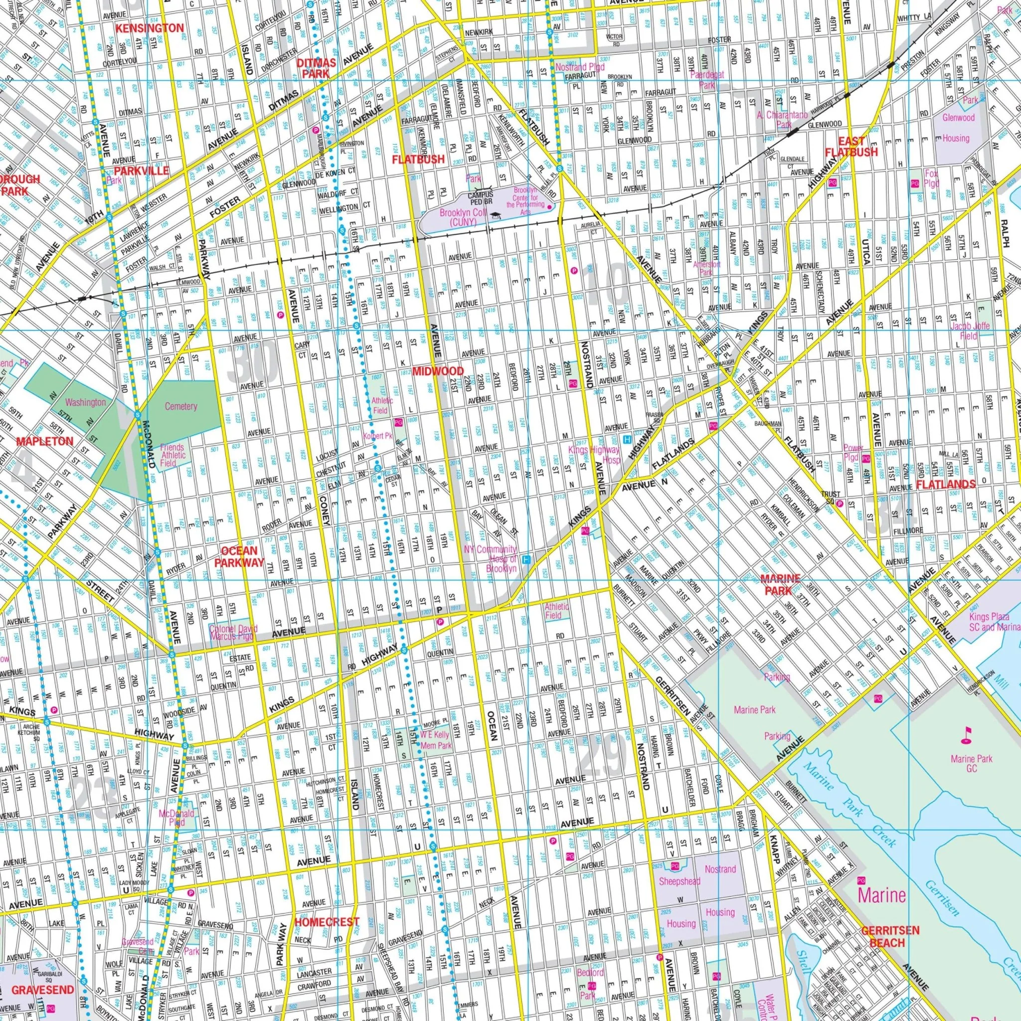
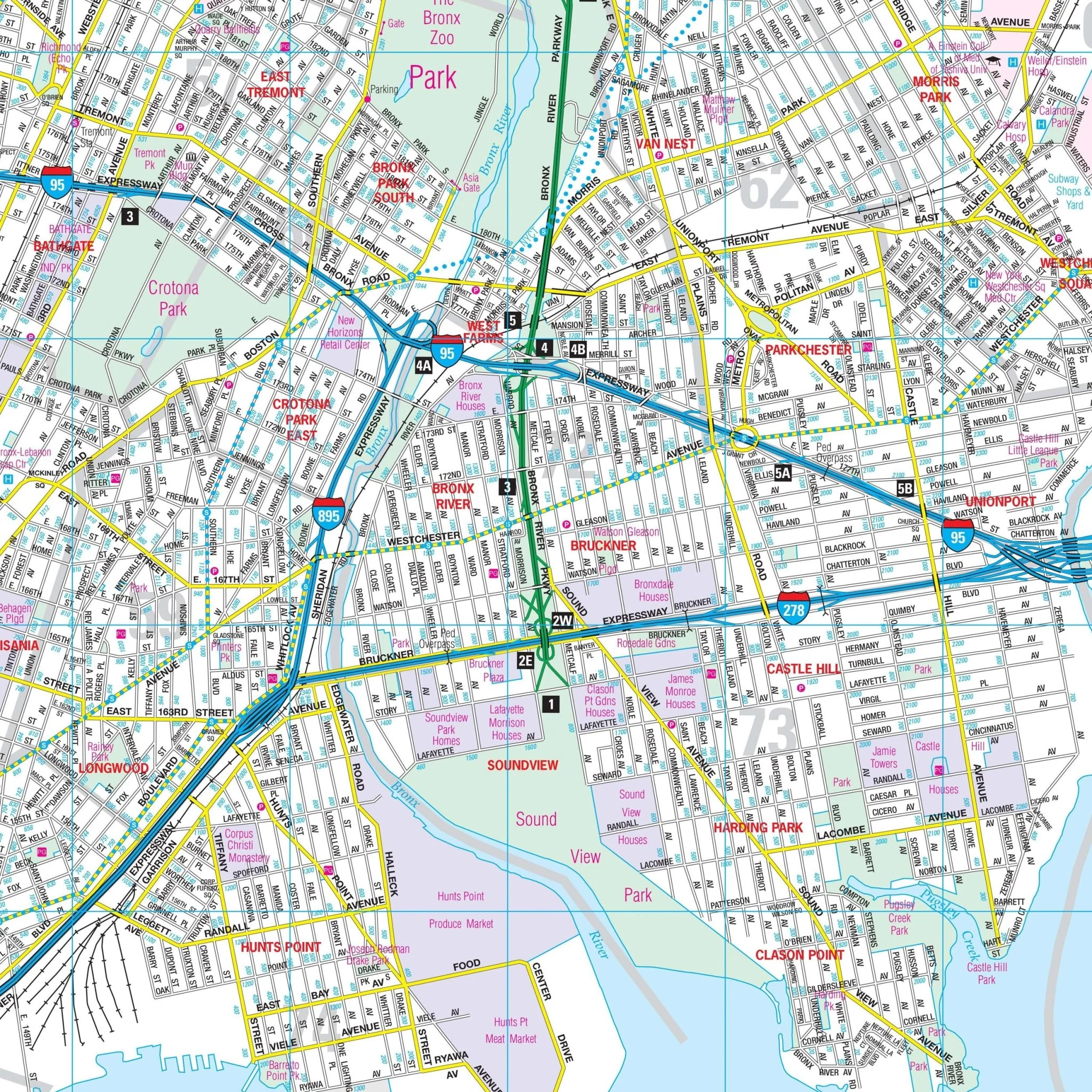
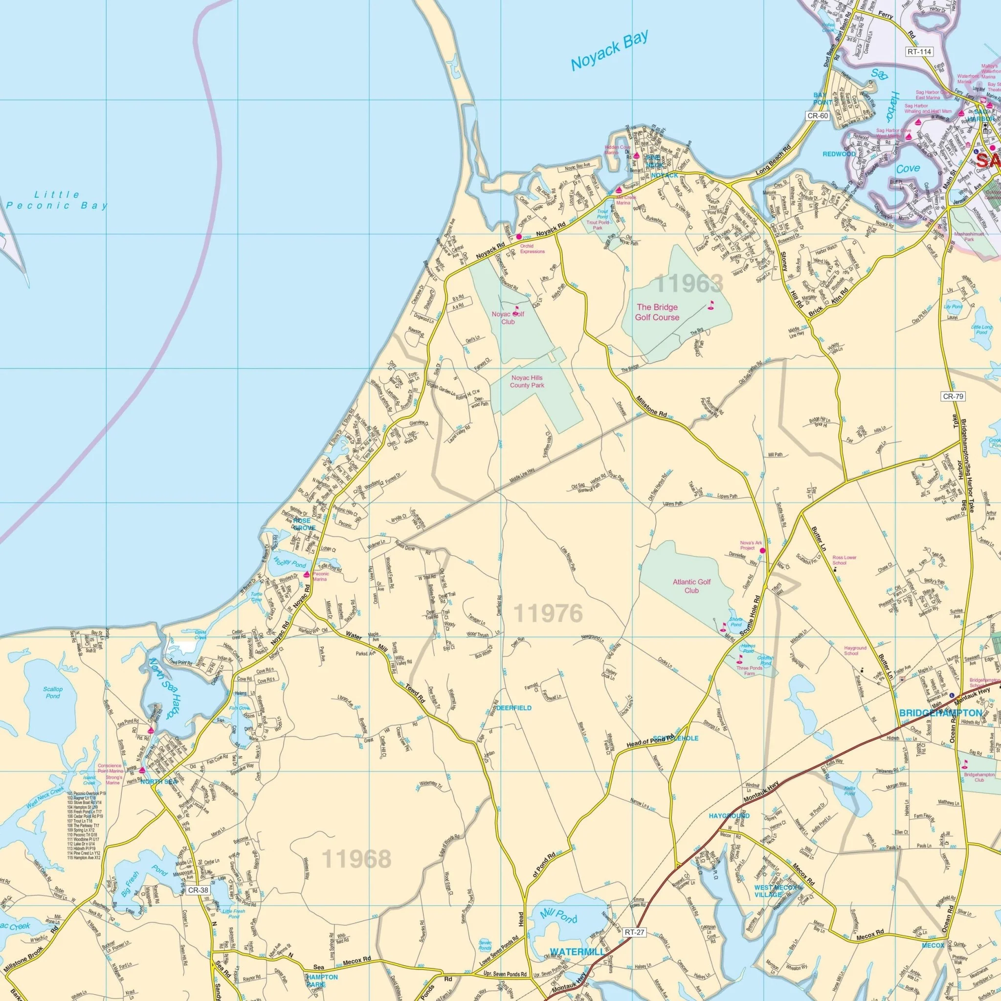
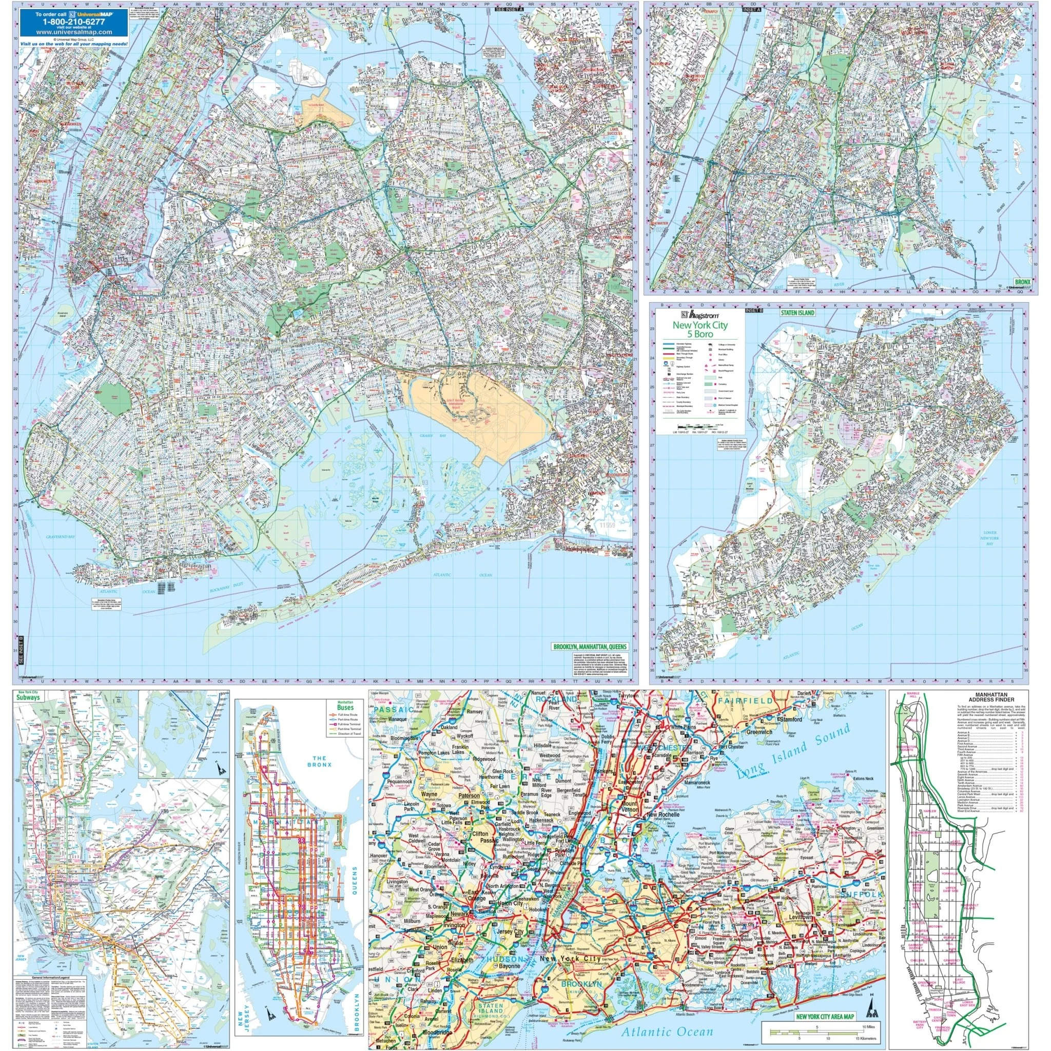
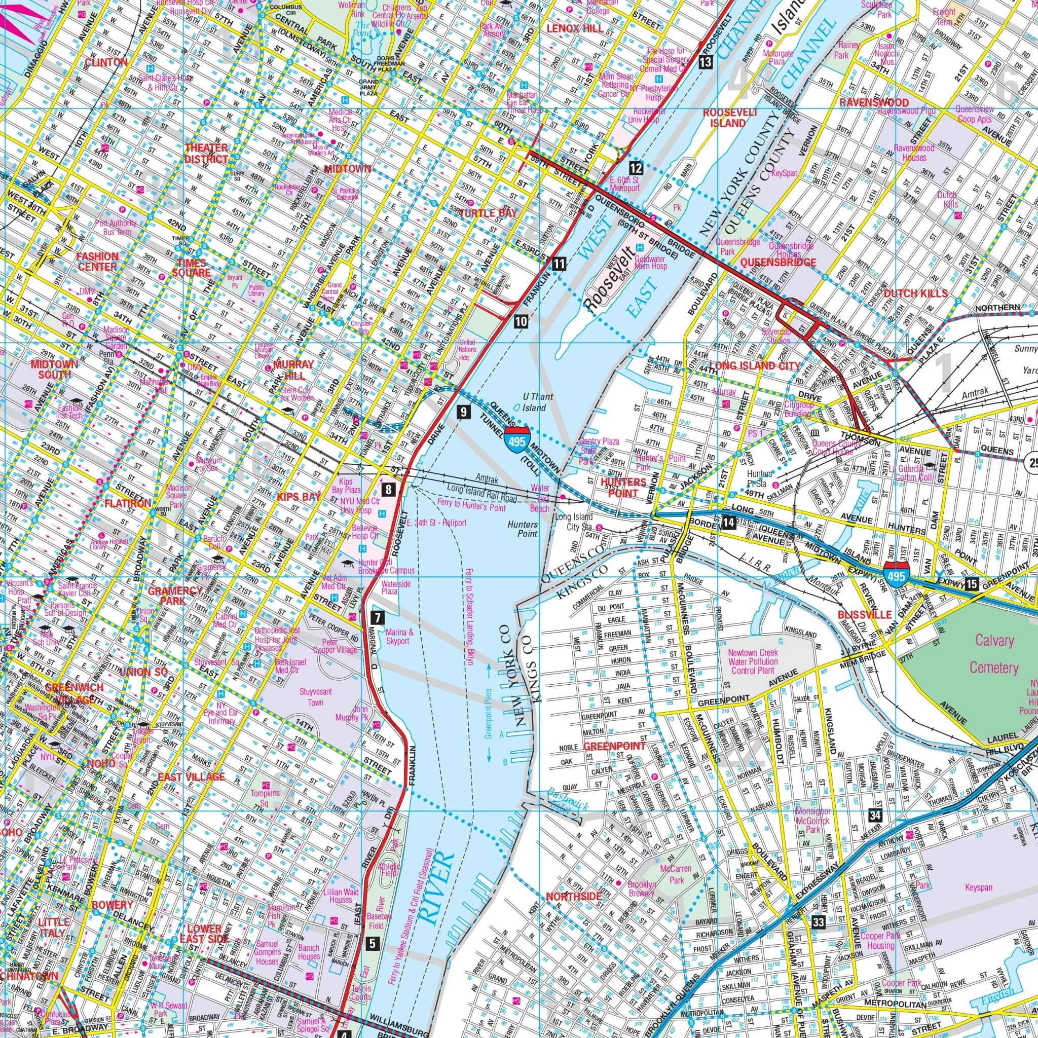
The Westchester County, NY Wall Map also includes an area map of Westchester County. Details and features on the map encompass block numbers, cemeteries, golf and country clubs, hospitals, longitude and latitude coordinates, neighborhoods, points of interest, post offices, railroads, recreational parks, schools, streets and highways, and ZIP code boundaries.
Size: 75.5" x 36"
Published: 2011
Original: $109.99
-70%$109.99
$33.00Product Information
Product Information
Shipping & Returns
Shipping & Returns
Description
The Hagstrom Westchester County, NY Wall Map provides complete street detail and covers the following boundaries:
- North: Putnam-Westchester County line
- South: Bronx-Westchester County line
- East: Connecticut State line
- West: Rockland-Westchester County line
The Westchester County, NY Wall Map also includes an area map of Westchester County. Details and features on the map encompass block numbers, cemeteries, golf and country clubs, hospitals, longitude and latitude coordinates, neighborhoods, points of interest, post offices, railroads, recreational parks, schools, streets and highways, and ZIP code boundaries.
Size: 75.5" x 36"
Published: 2011