


Staten Island, NY Wall Map
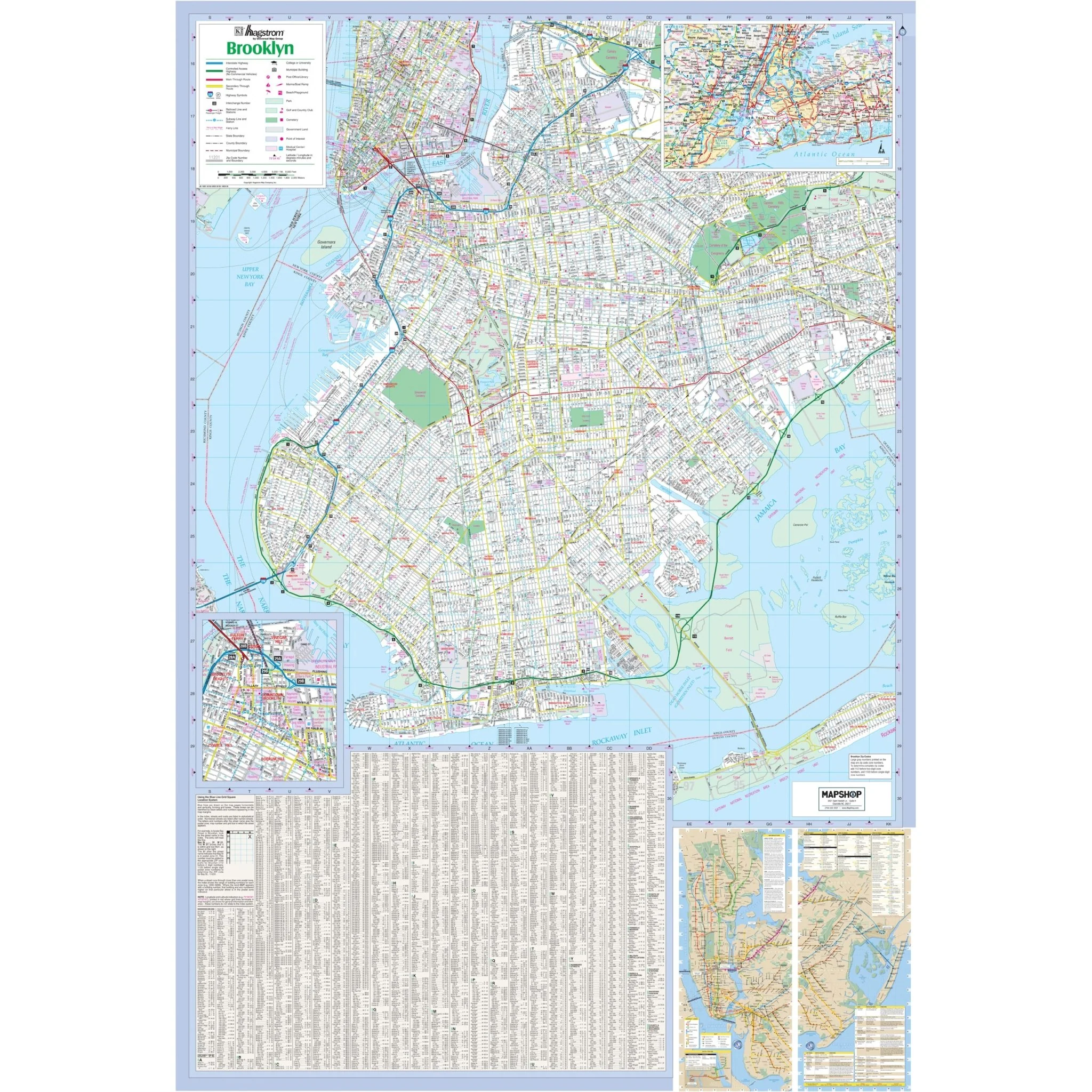
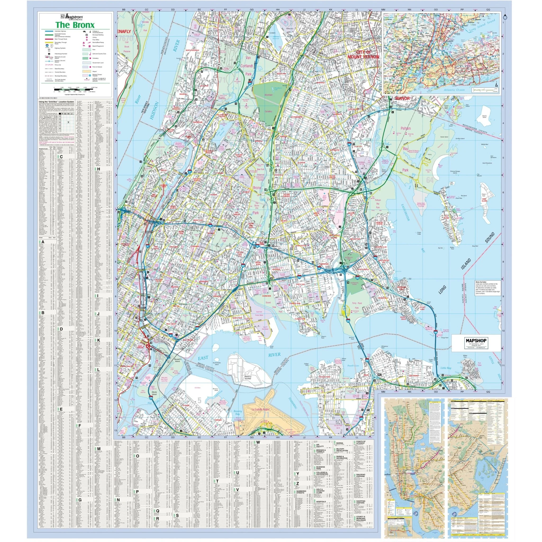
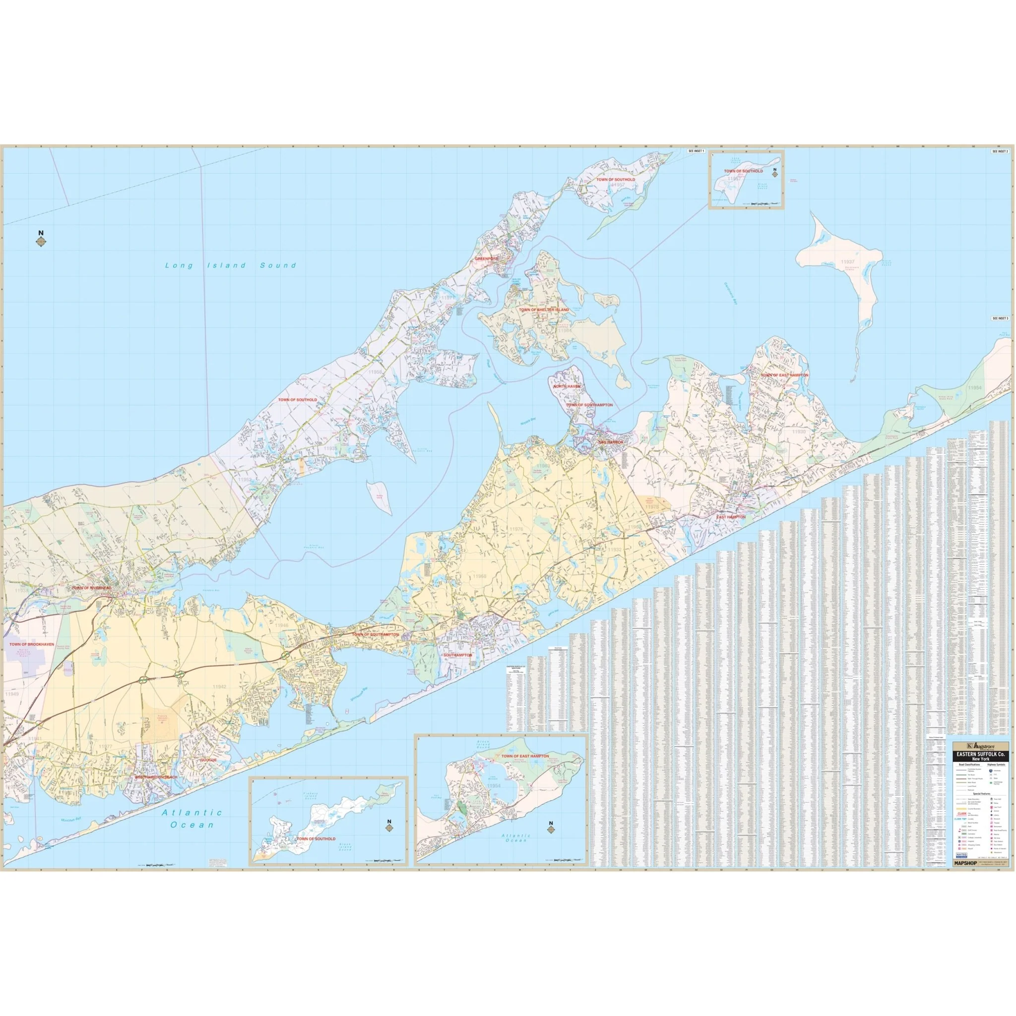
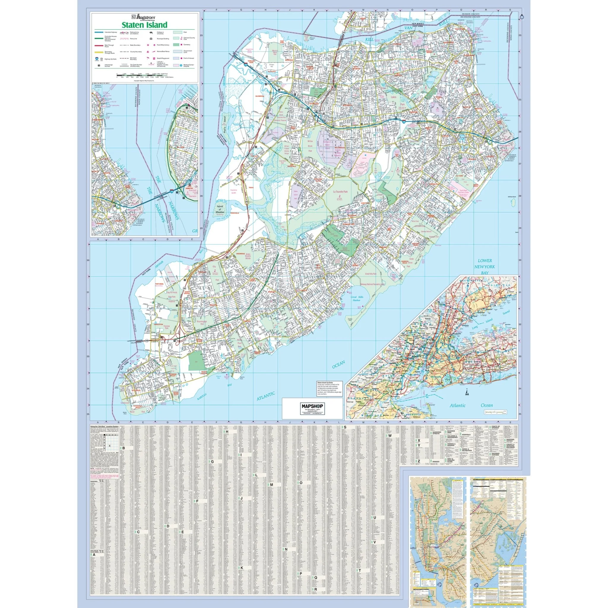
The Richmond County/Staten Island, NY Wall Map covers the borough of Staten Island, Richmond County, NY, with the following boundaries:
- North: to the New Jersey State line
- South: to Conference House Park and the Atlantic Ocean
- East: to Verrazano Narrows Bridge and Fort Hamilton, in Kings County
- West: to the New Jersey State line
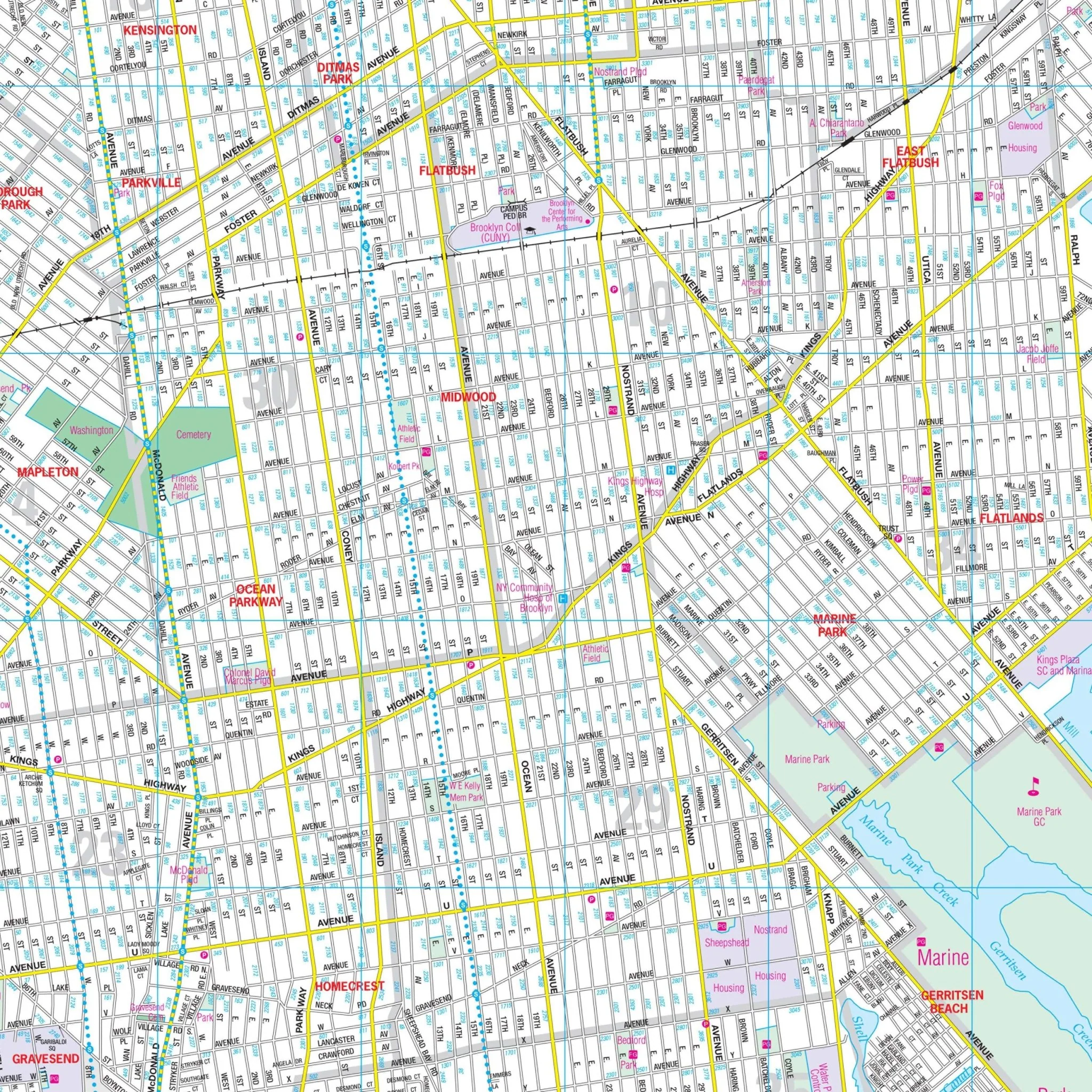
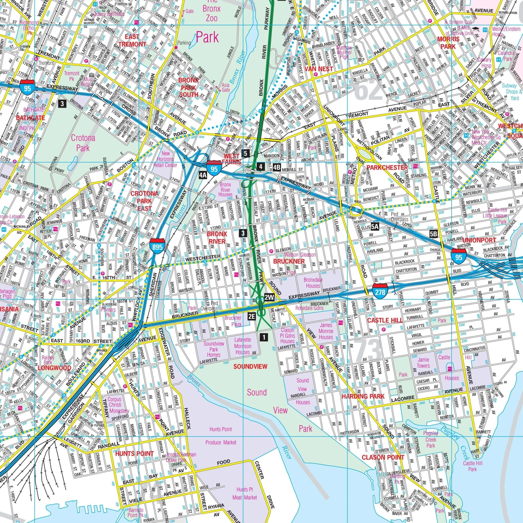
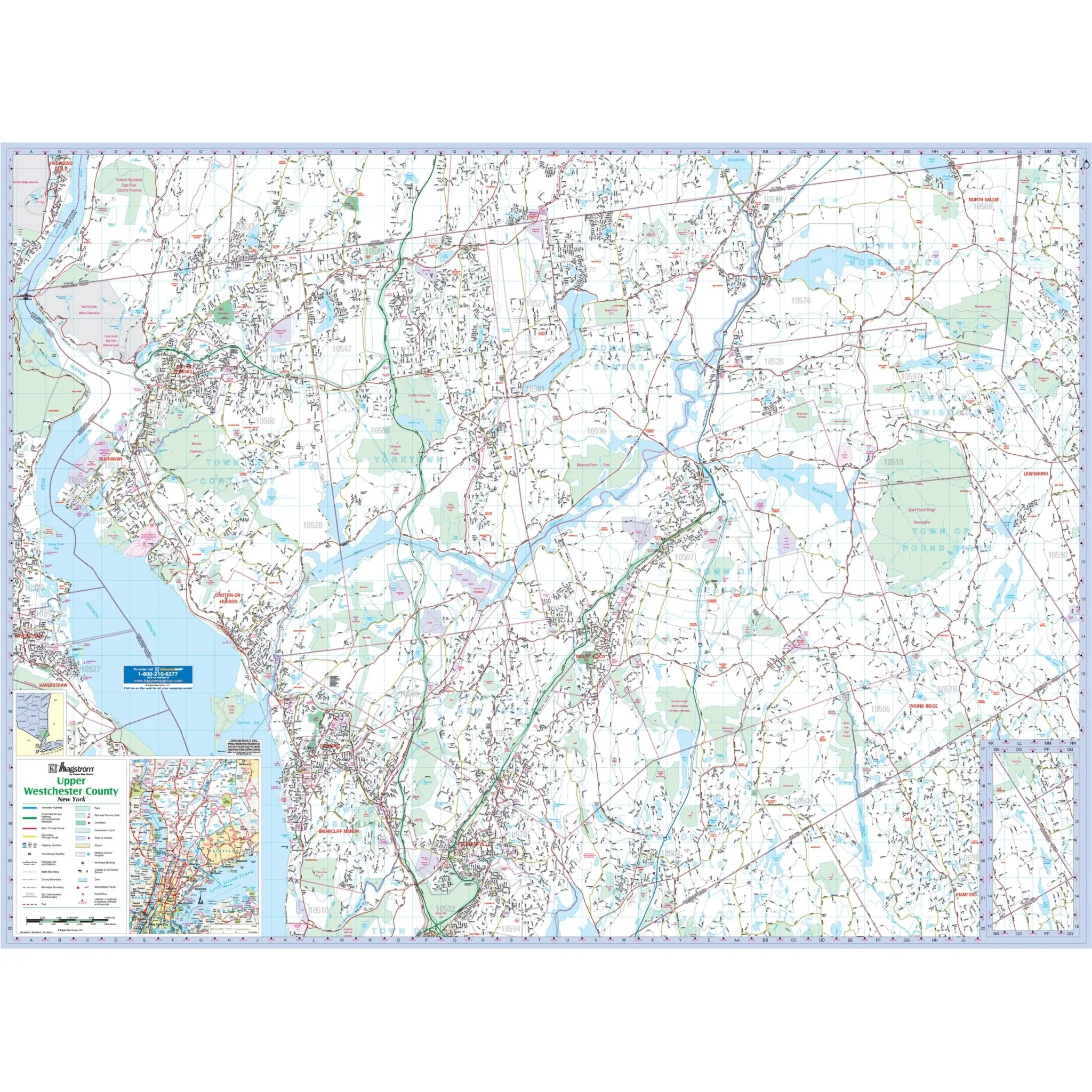
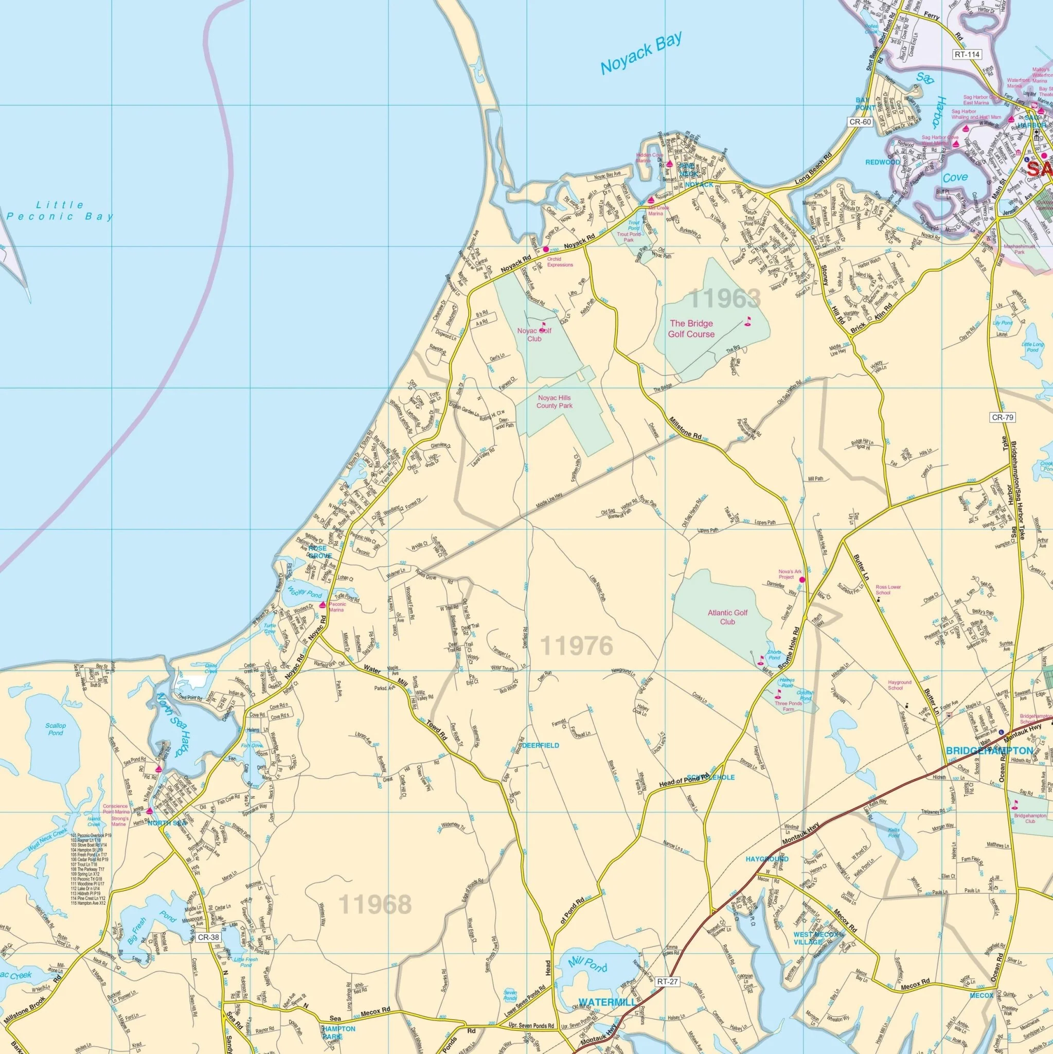
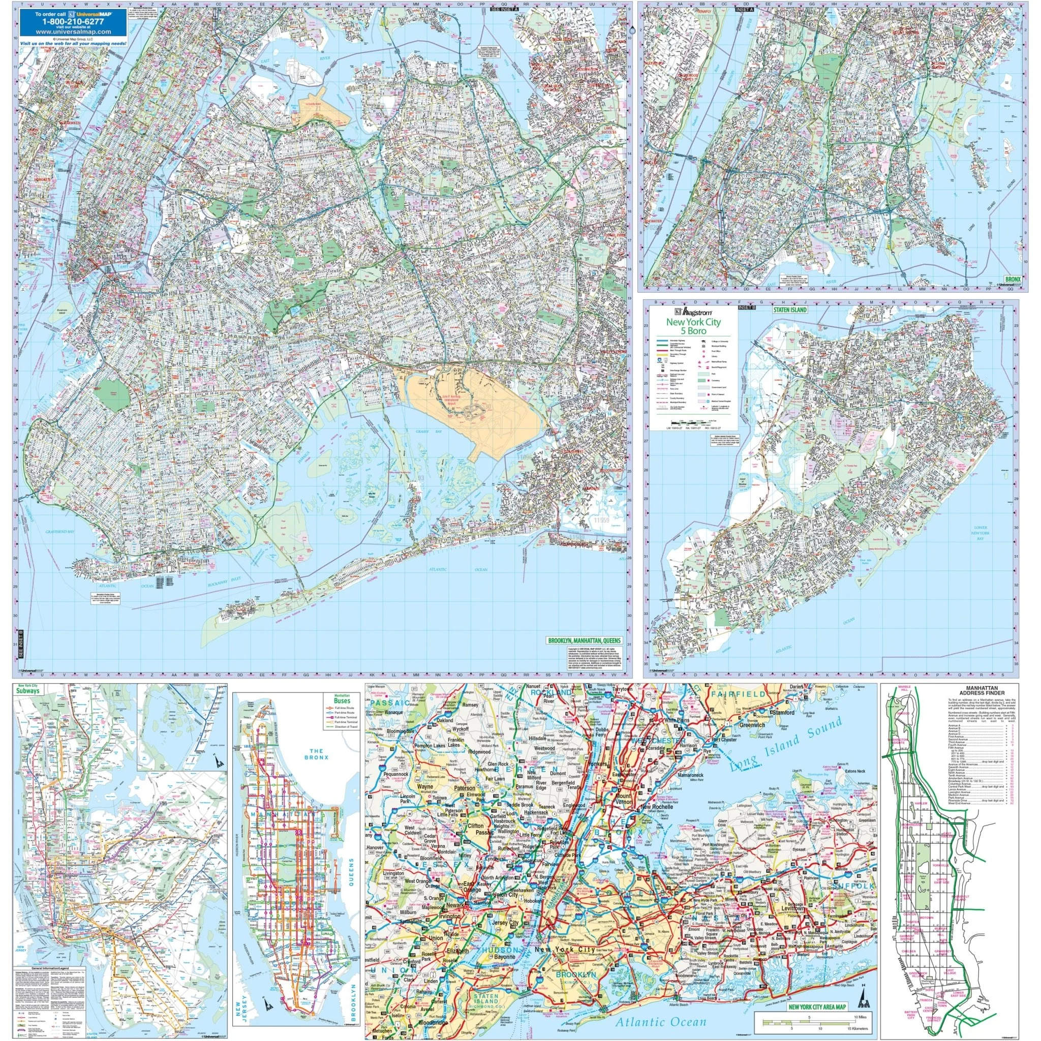
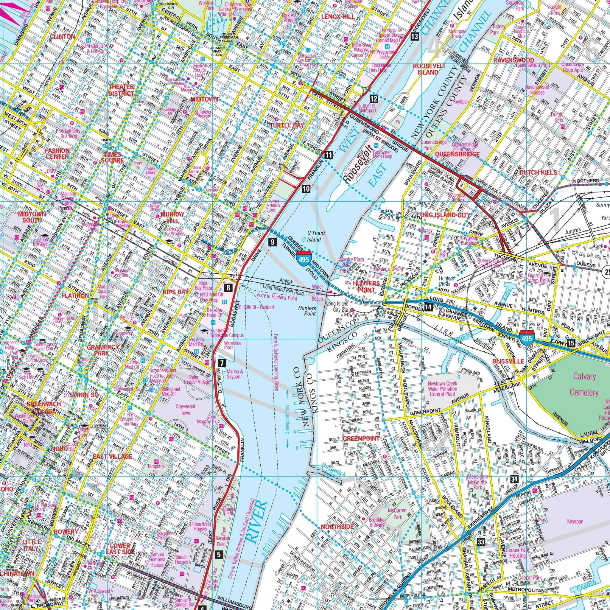
The map also includes an inset map of the New York City Subway System. Details and features on the map encompass block numbers, cemeteries, educational institutions, golf & country clubs, hospitals, latitude & longitude coordinates, points of interest, post offices, recreational parks, streets & highways, subways & railroads, and ZIP code boundaries.
Size: 48" x 64.5"
Published: 2011
Original: $139.99
-70%$139.99
$42.00Product Information
Product Information
Shipping & Returns
Shipping & Returns
Description
The Richmond County/Staten Island, NY Wall Map covers the borough of Staten Island, Richmond County, NY, with the following boundaries:
- North: to the New Jersey State line
- South: to Conference House Park and the Atlantic Ocean
- East: to Verrazano Narrows Bridge and Fort Hamilton, in Kings County
- West: to the New Jersey State line
The map also includes an inset map of the New York City Subway System. Details and features on the map encompass block numbers, cemeteries, educational institutions, golf & country clubs, hospitals, latitude & longitude coordinates, points of interest, post offices, recreational parks, streets & highways, subways & railroads, and ZIP code boundaries.
Size: 48" x 64.5"
Published: 2011