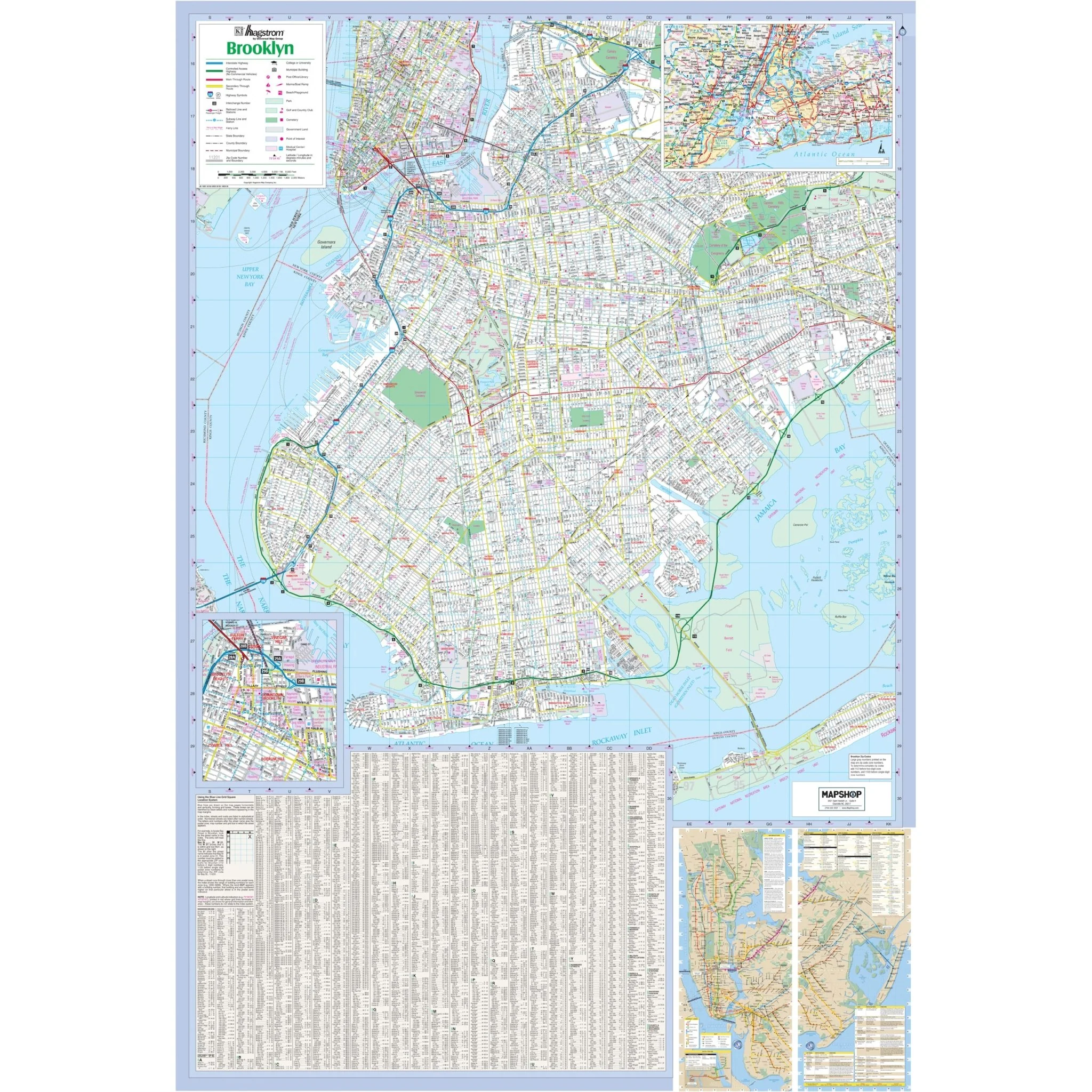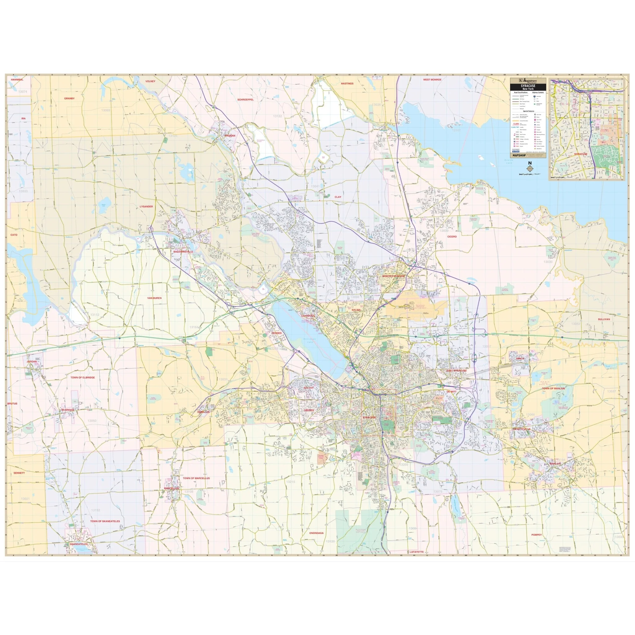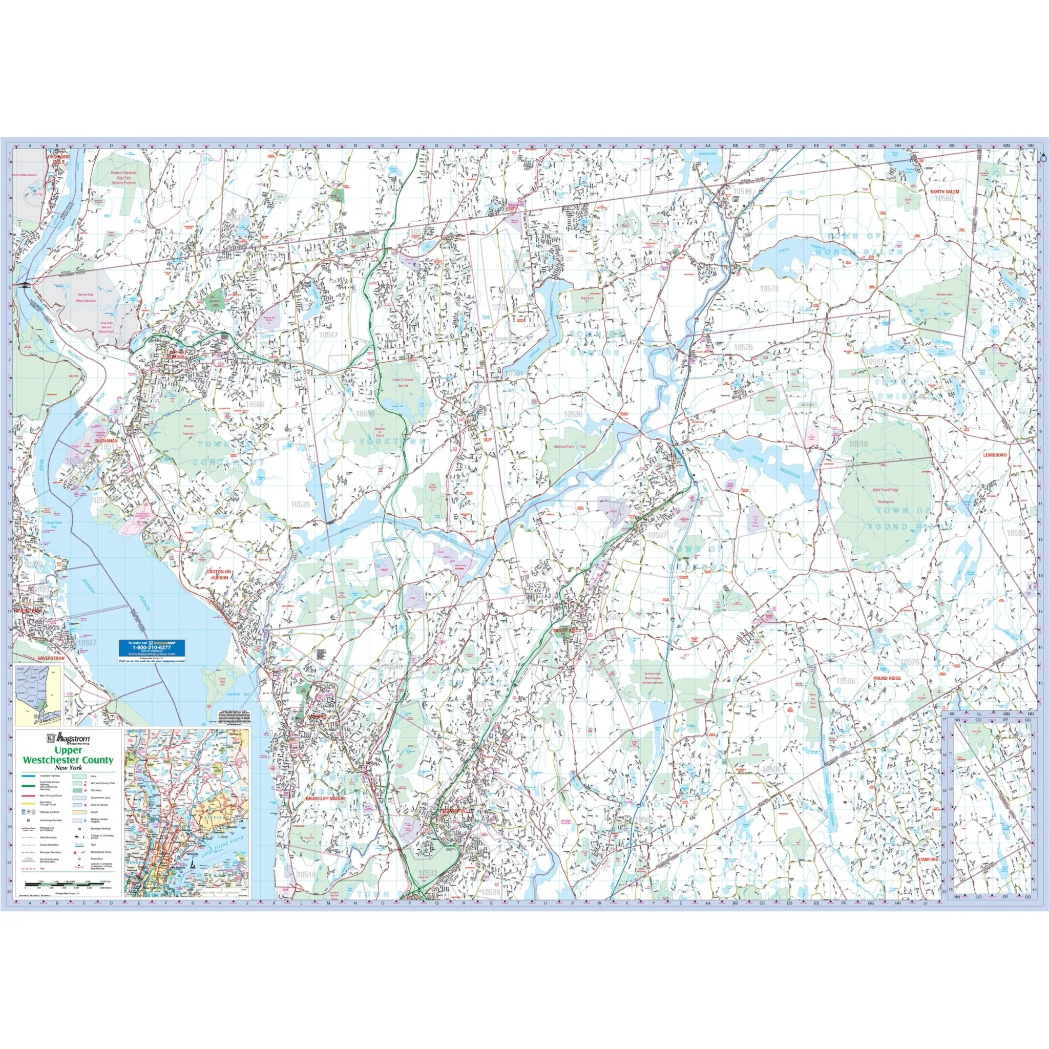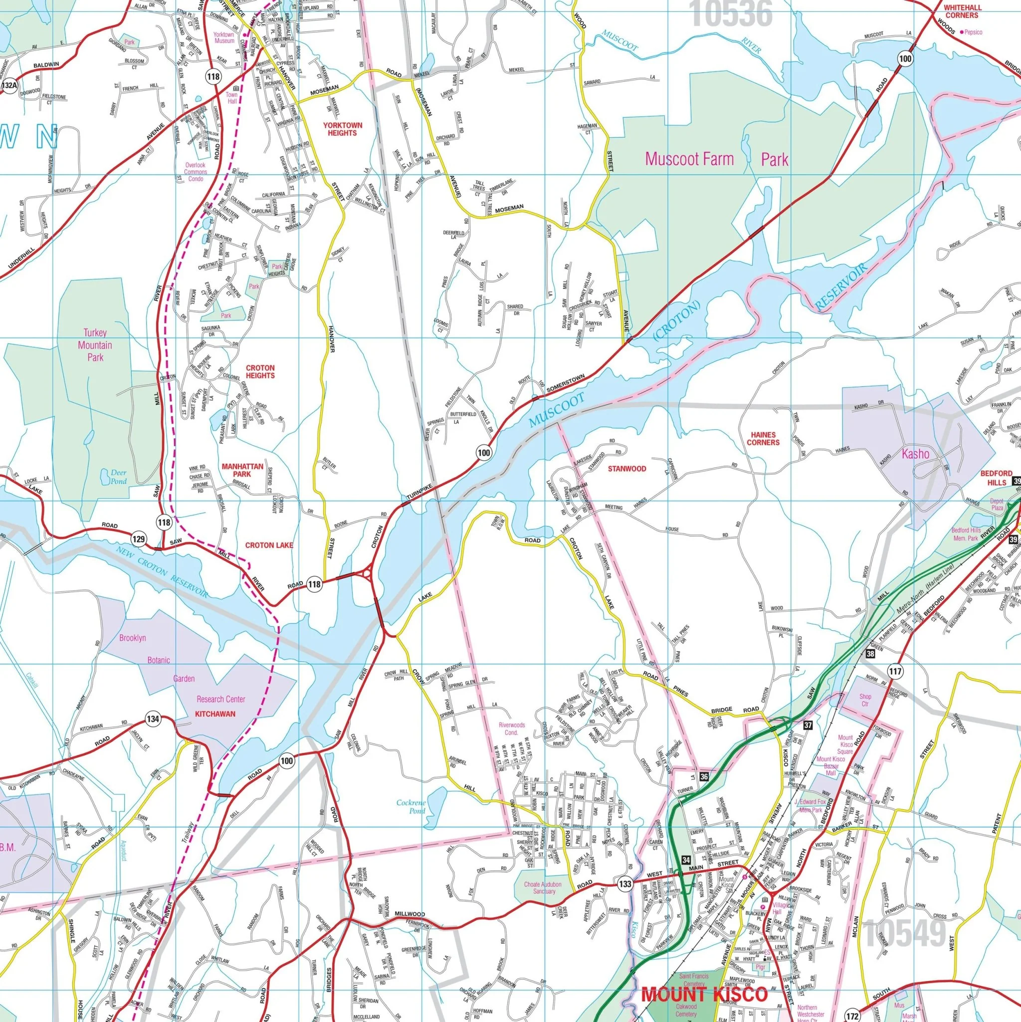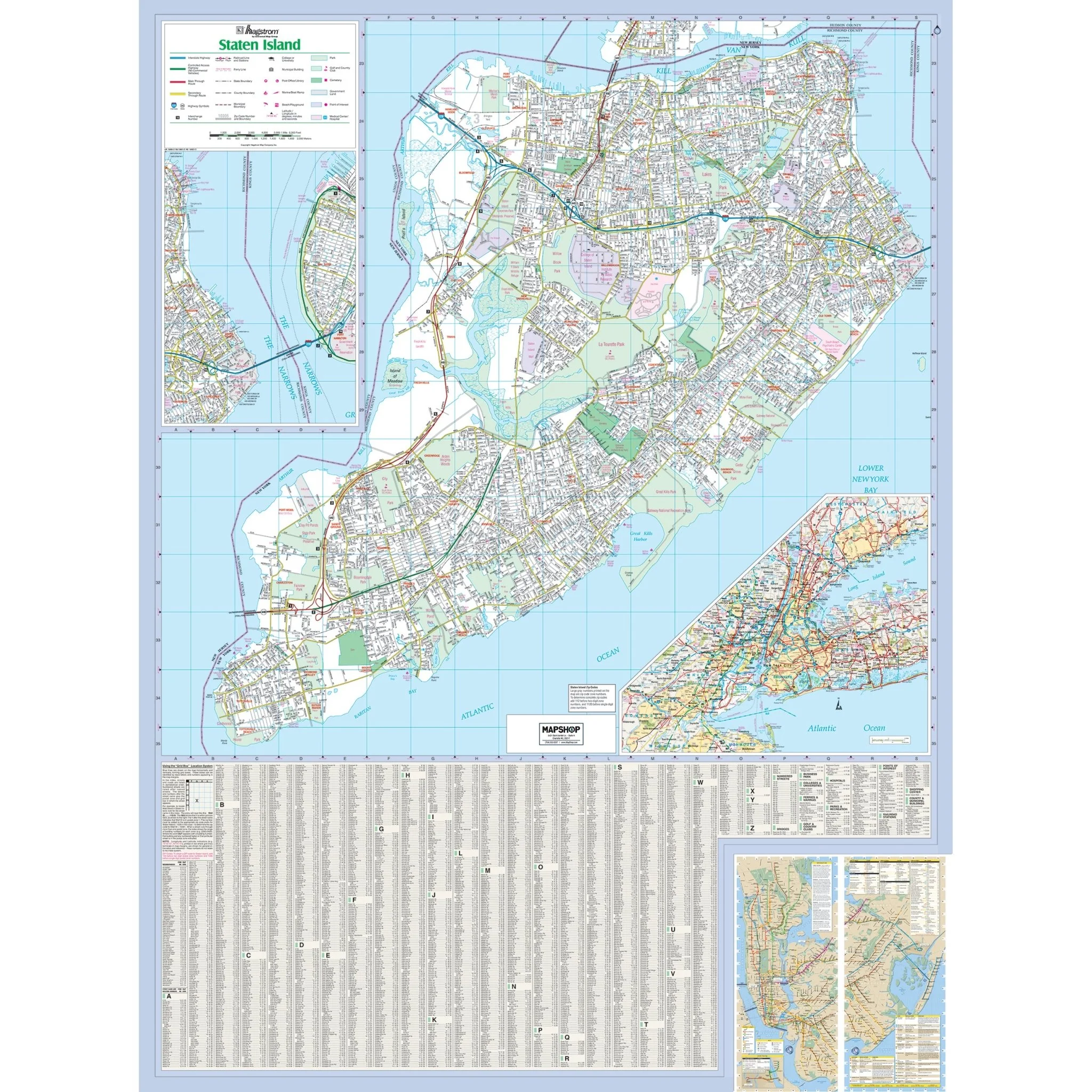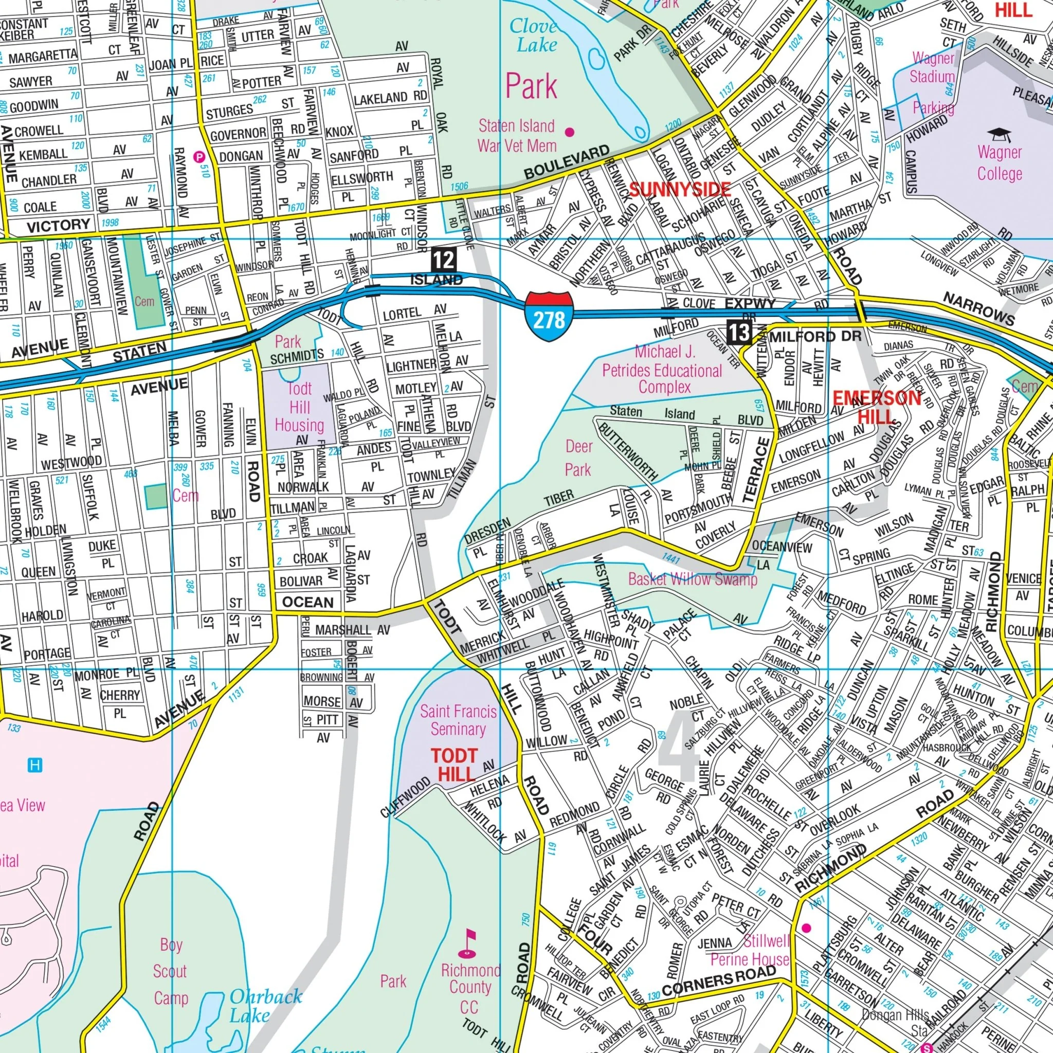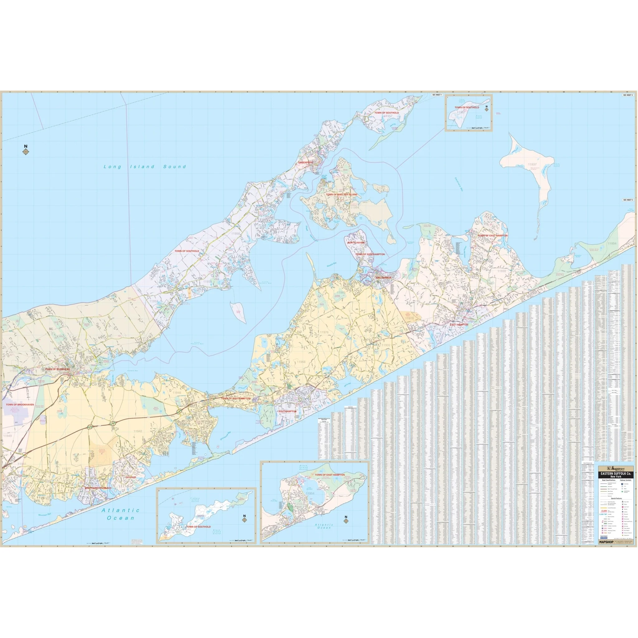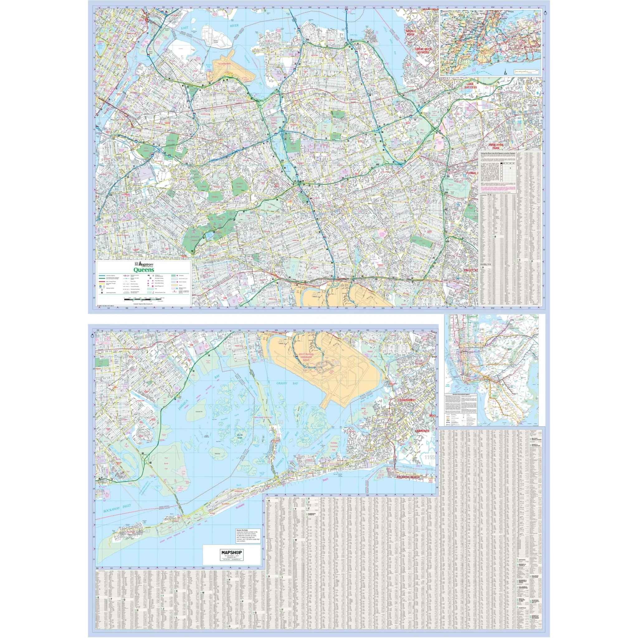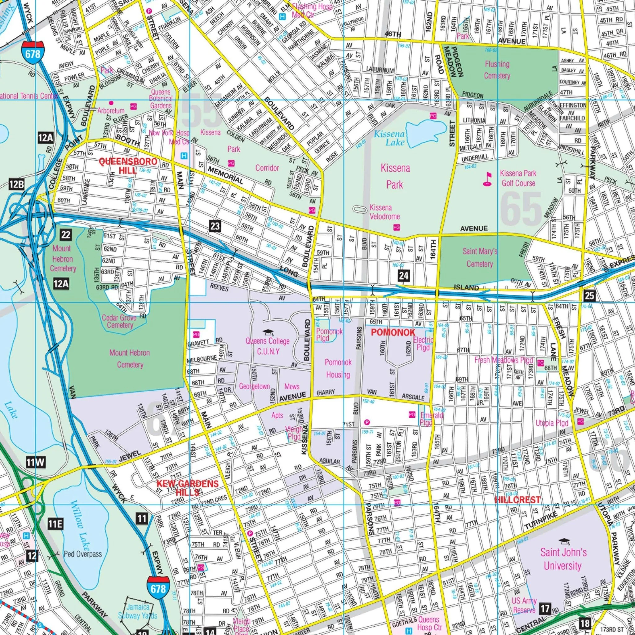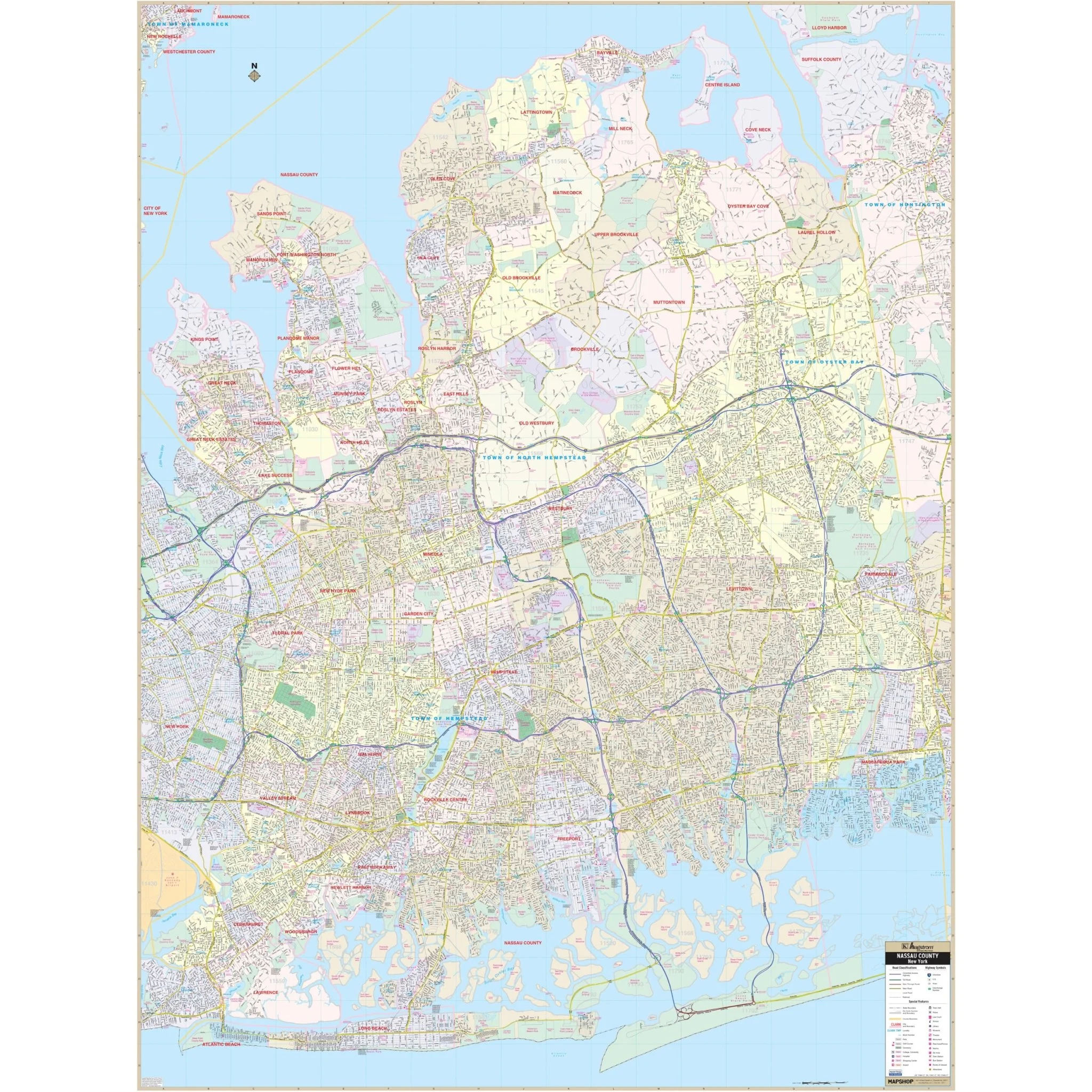
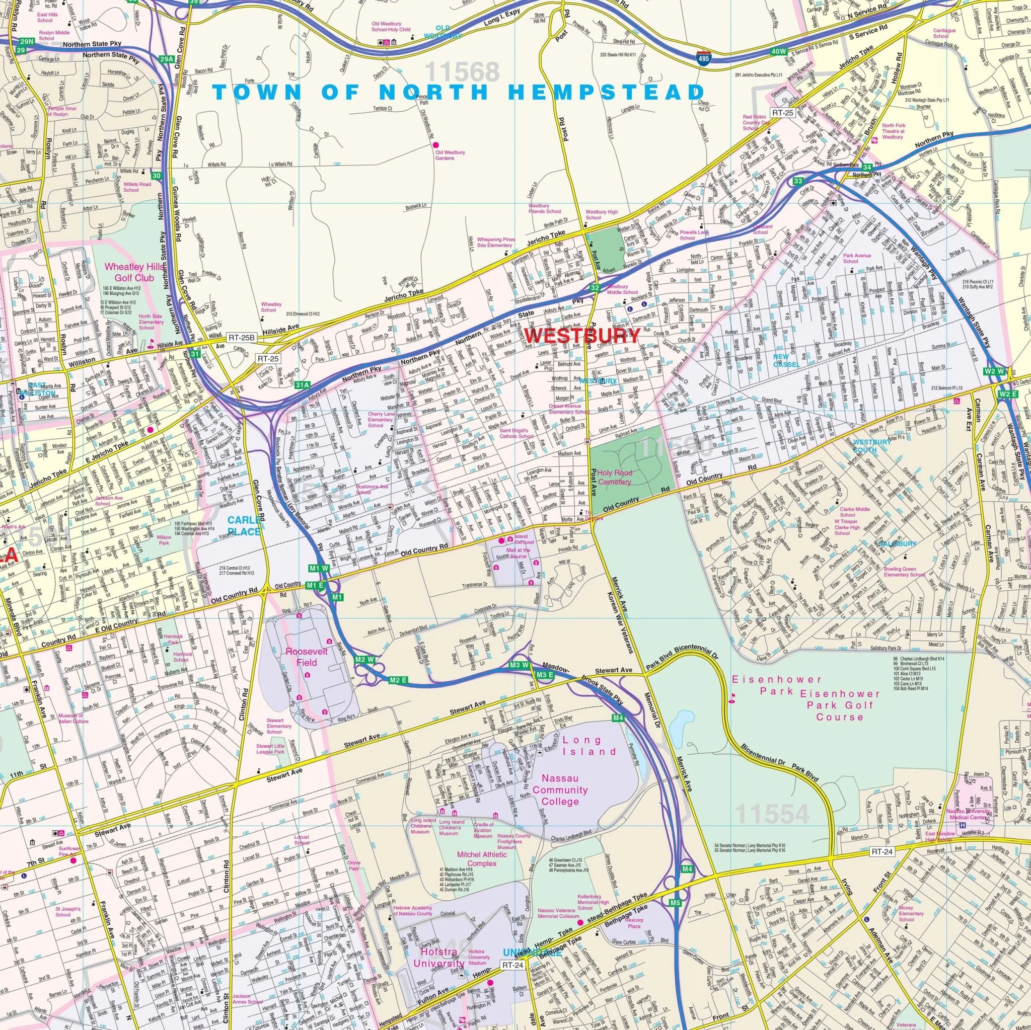


Nassau County, NY Wall Map
This Nassau County, New York Wall Map by Kappa Map provides complete street detail and covers the following area:
- North: to Long Island Sound
- South: to the Atlantic Ocean
- East: to Huntington
- West: to the John F. Kennedy Airport
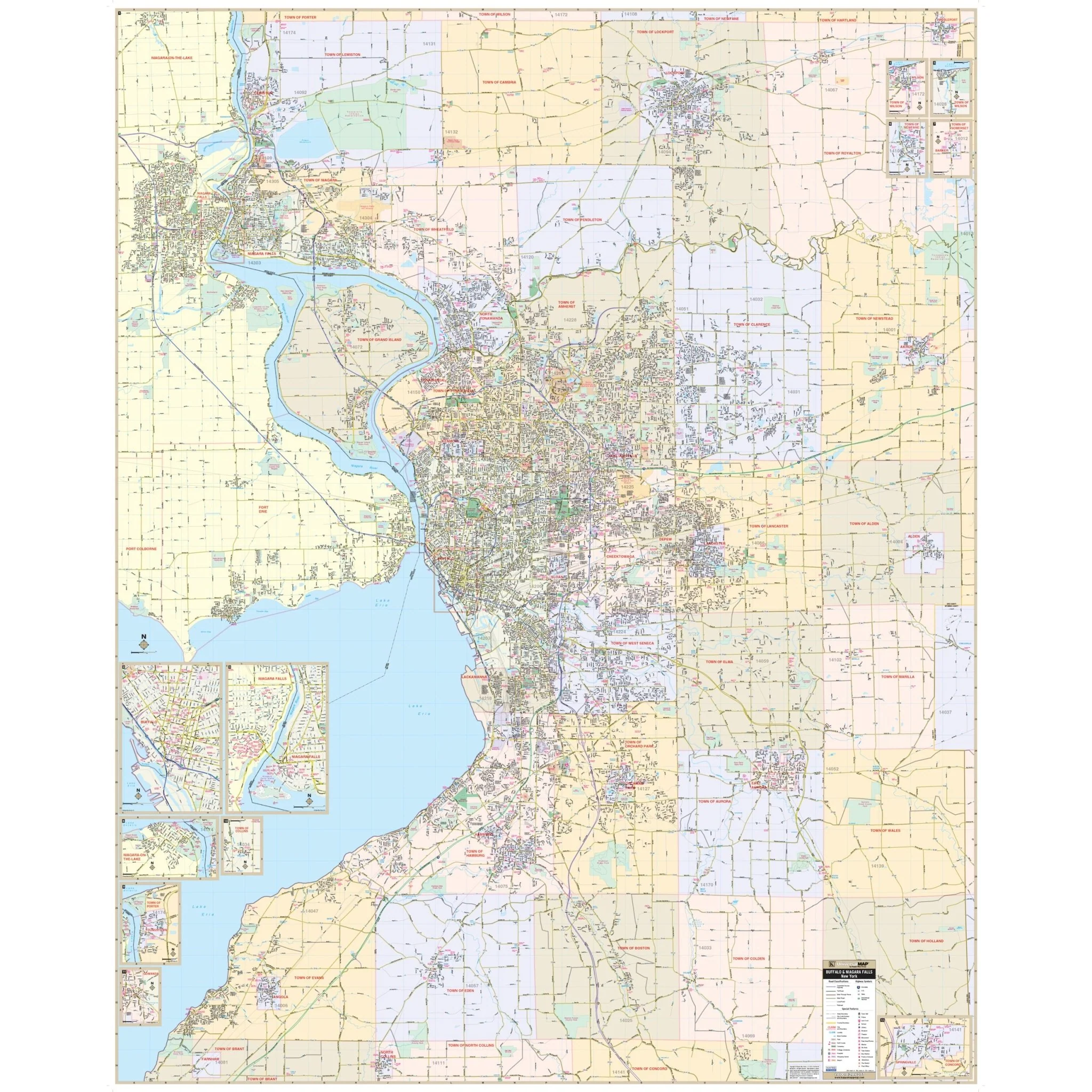
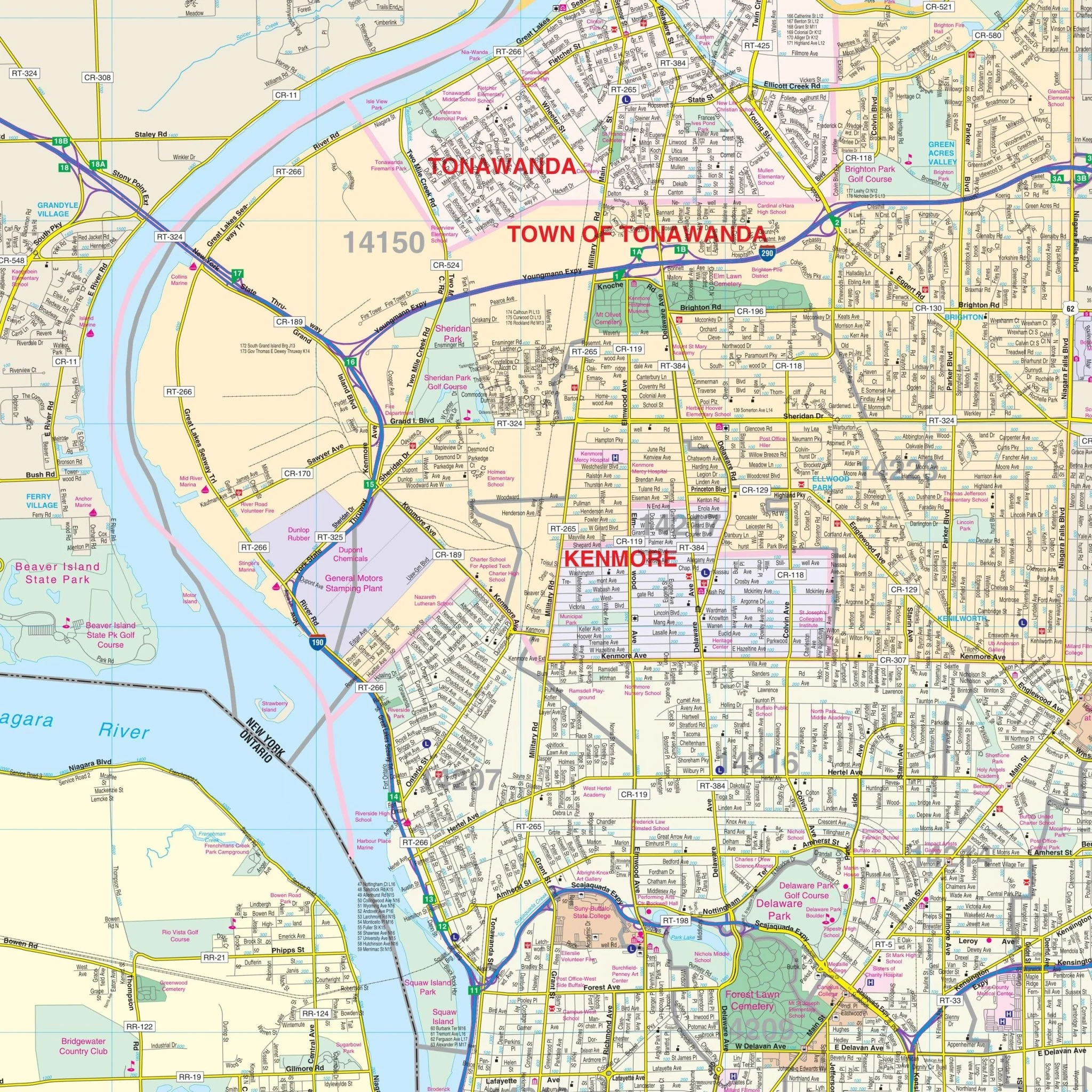
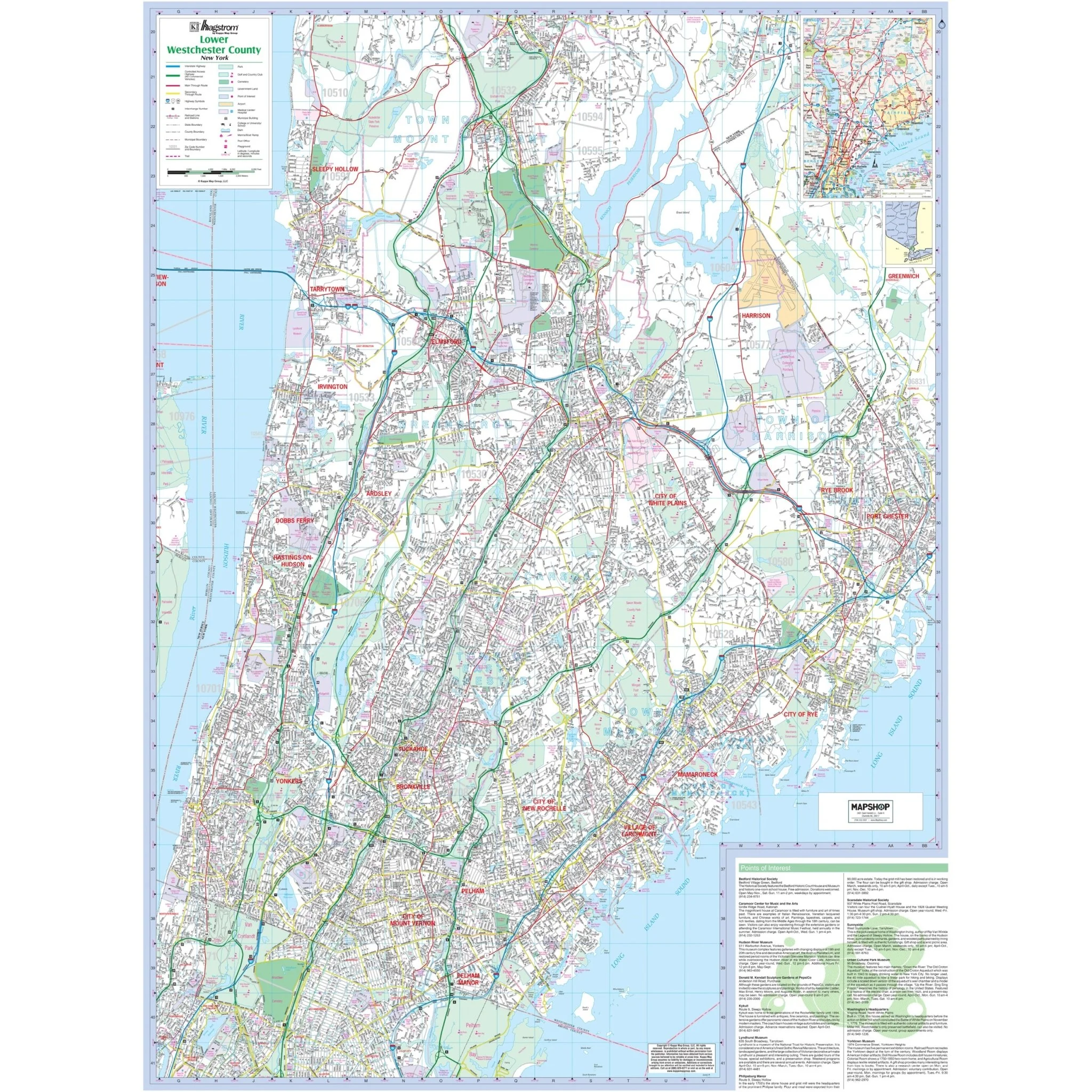
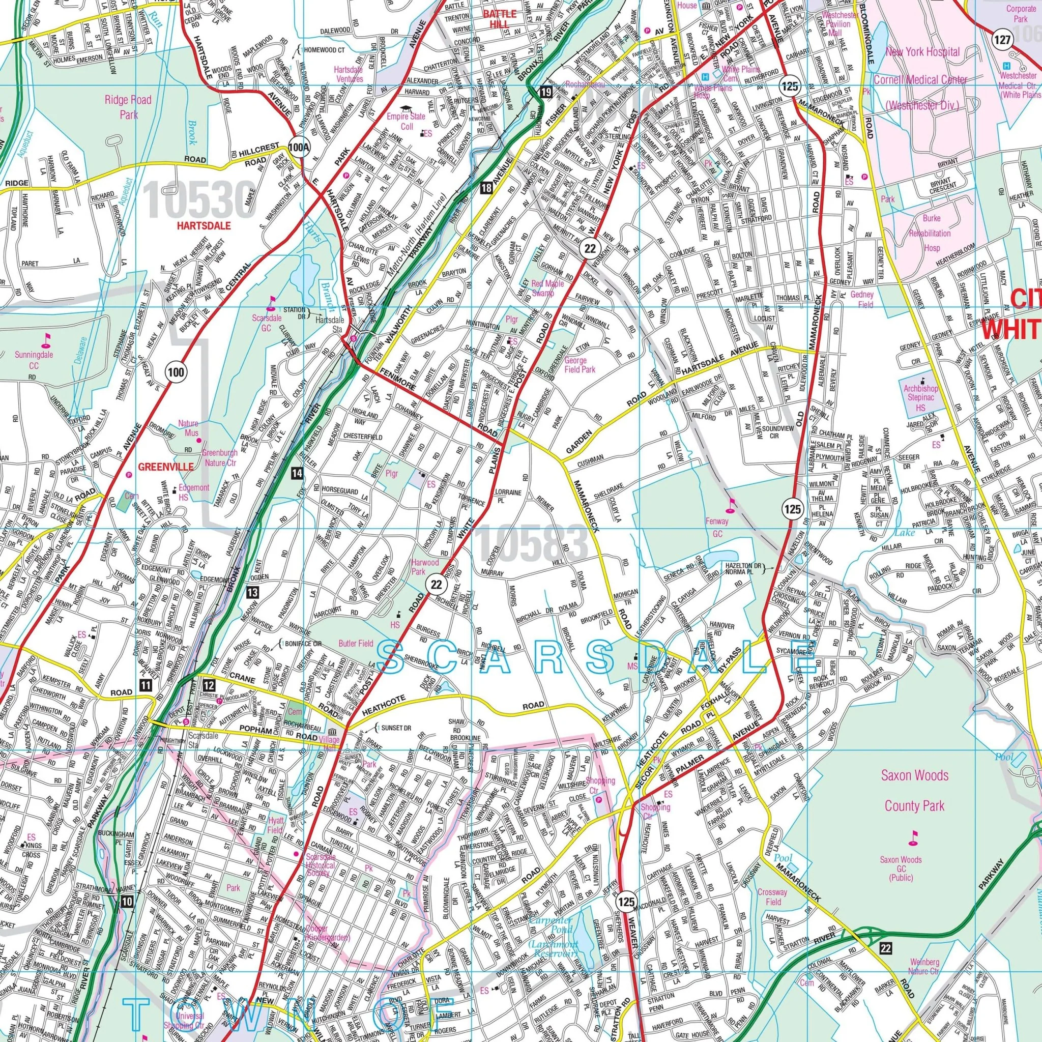
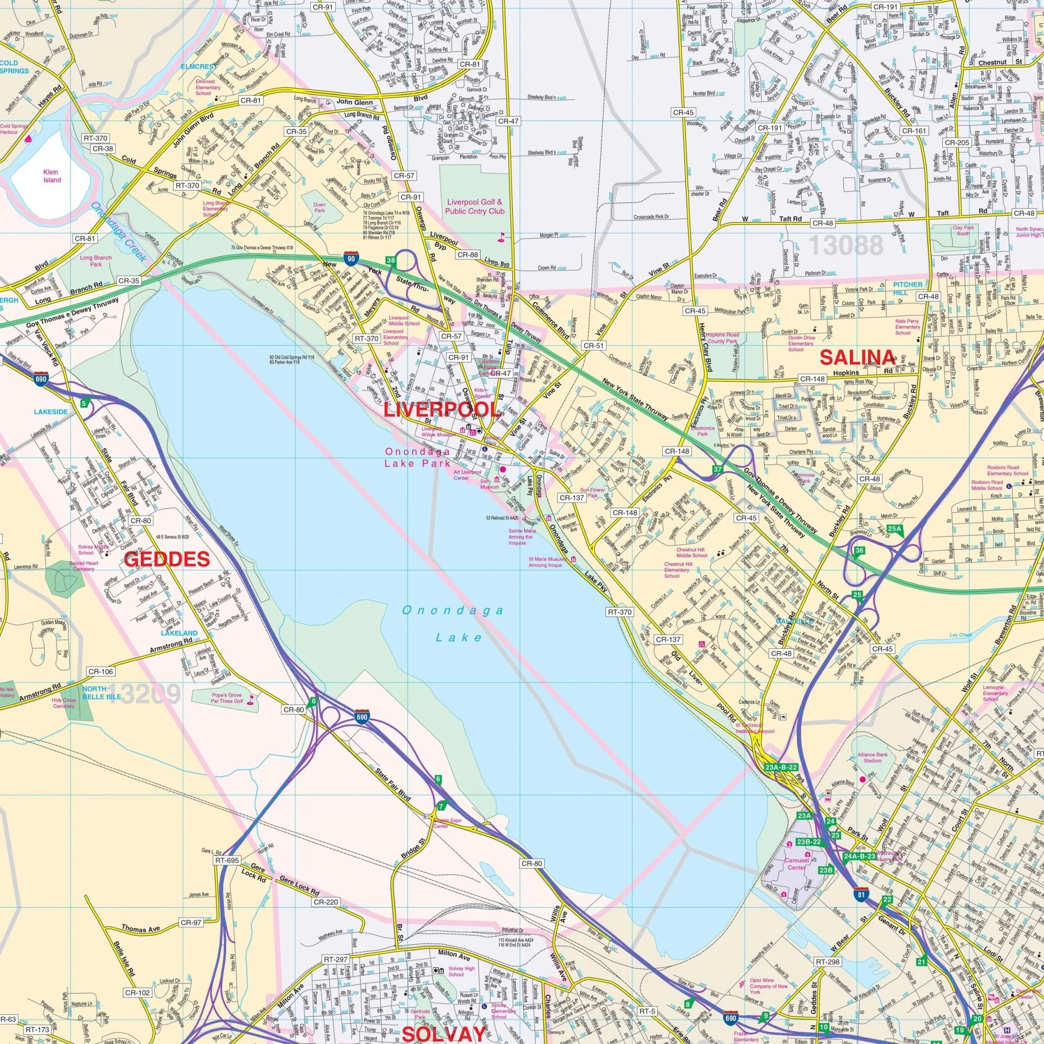
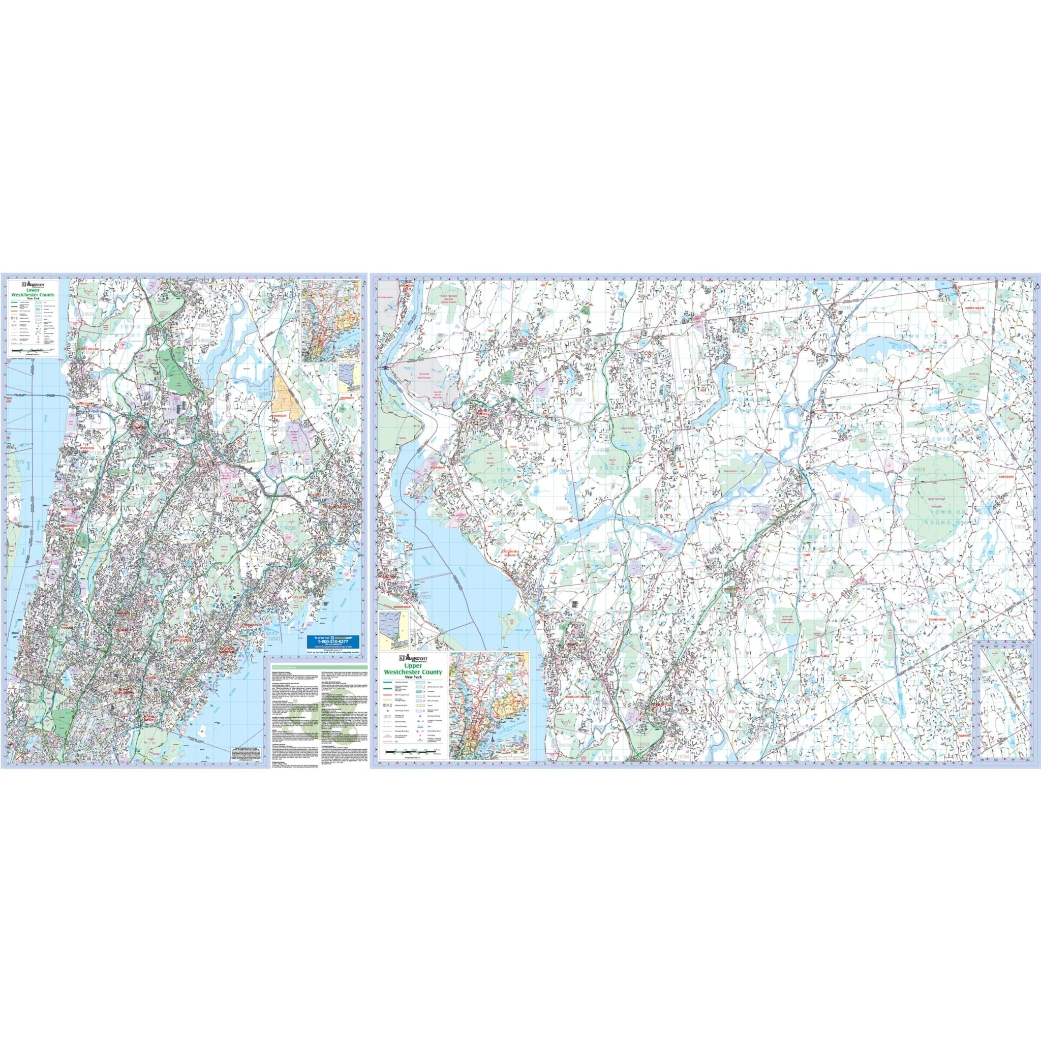
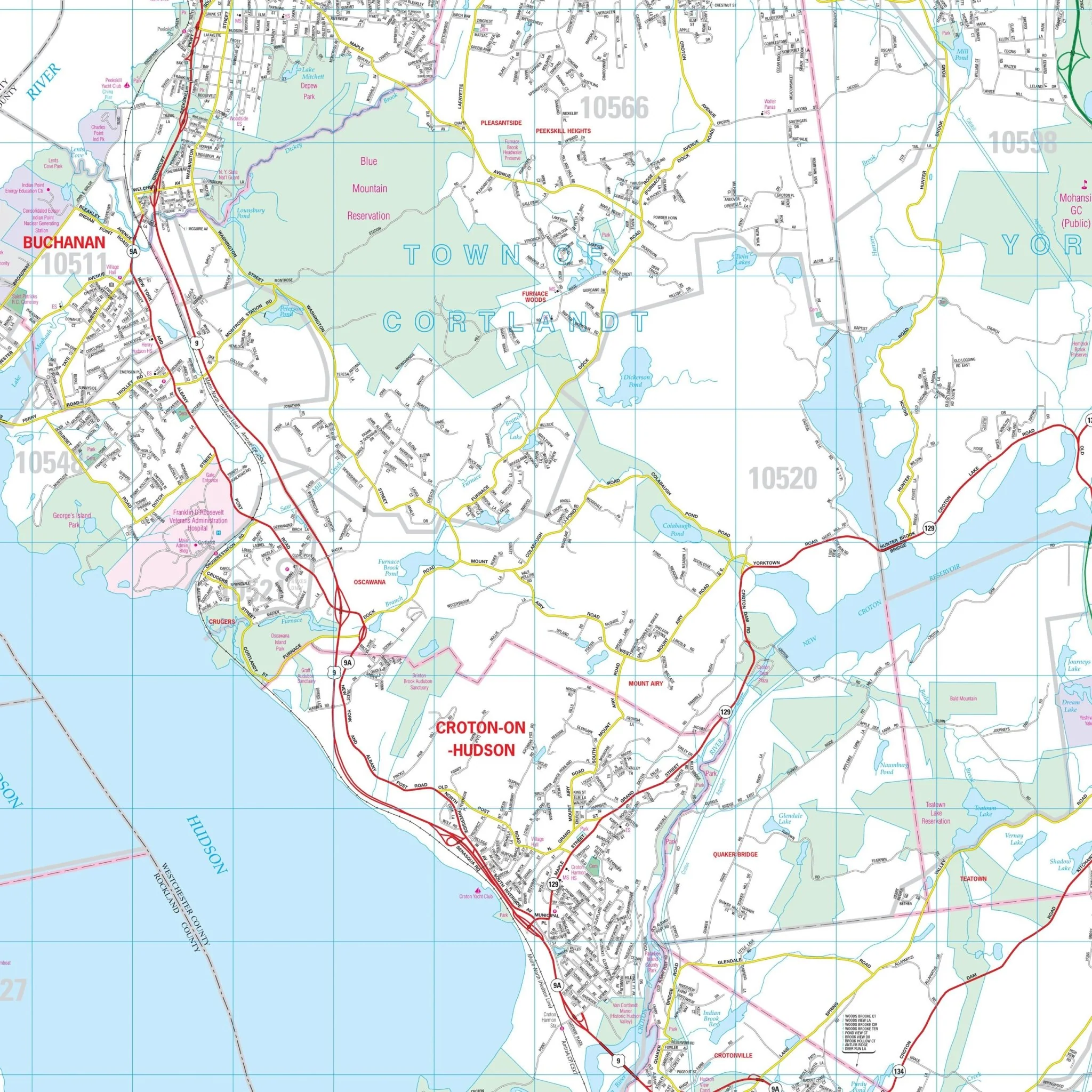
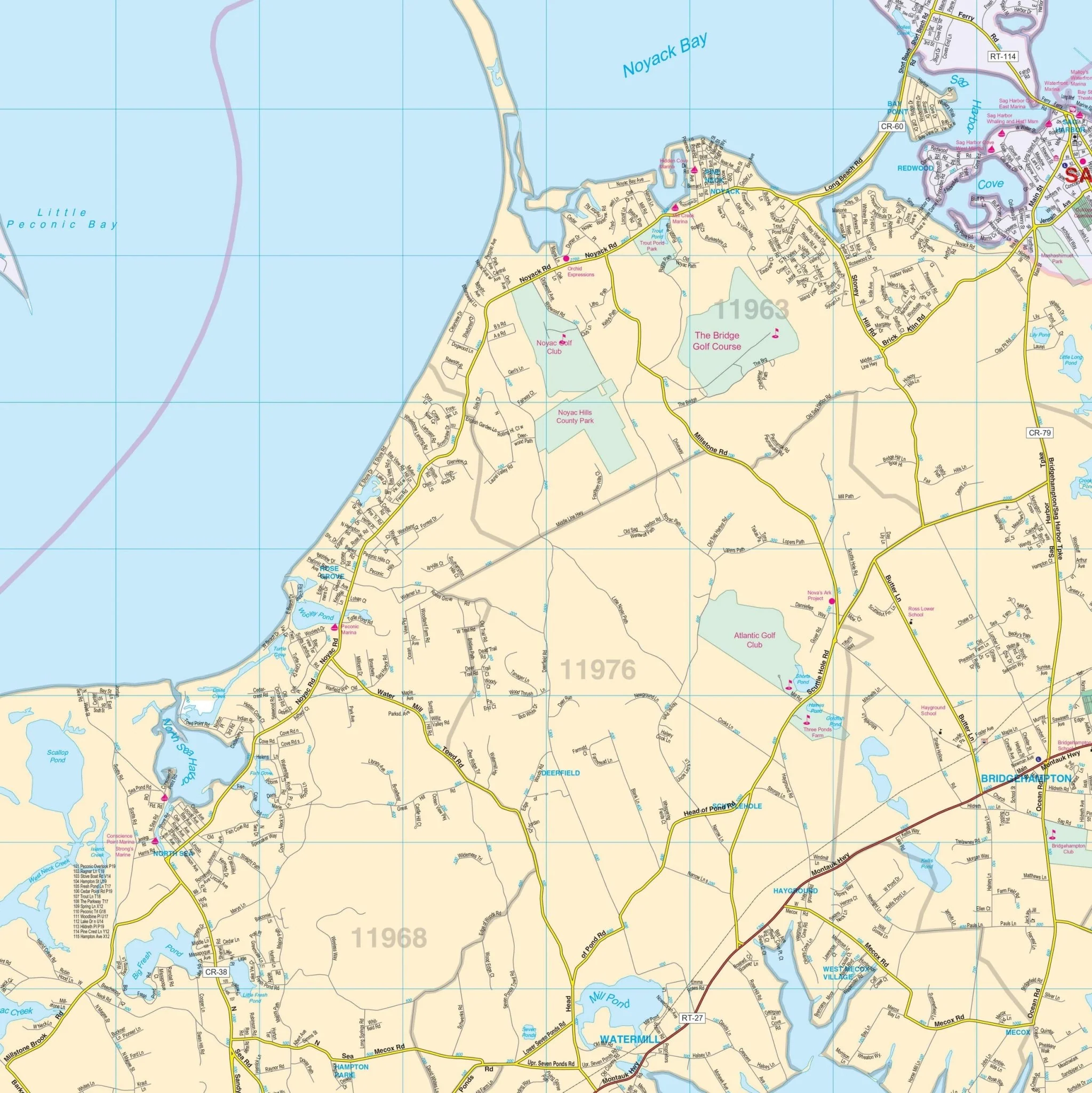
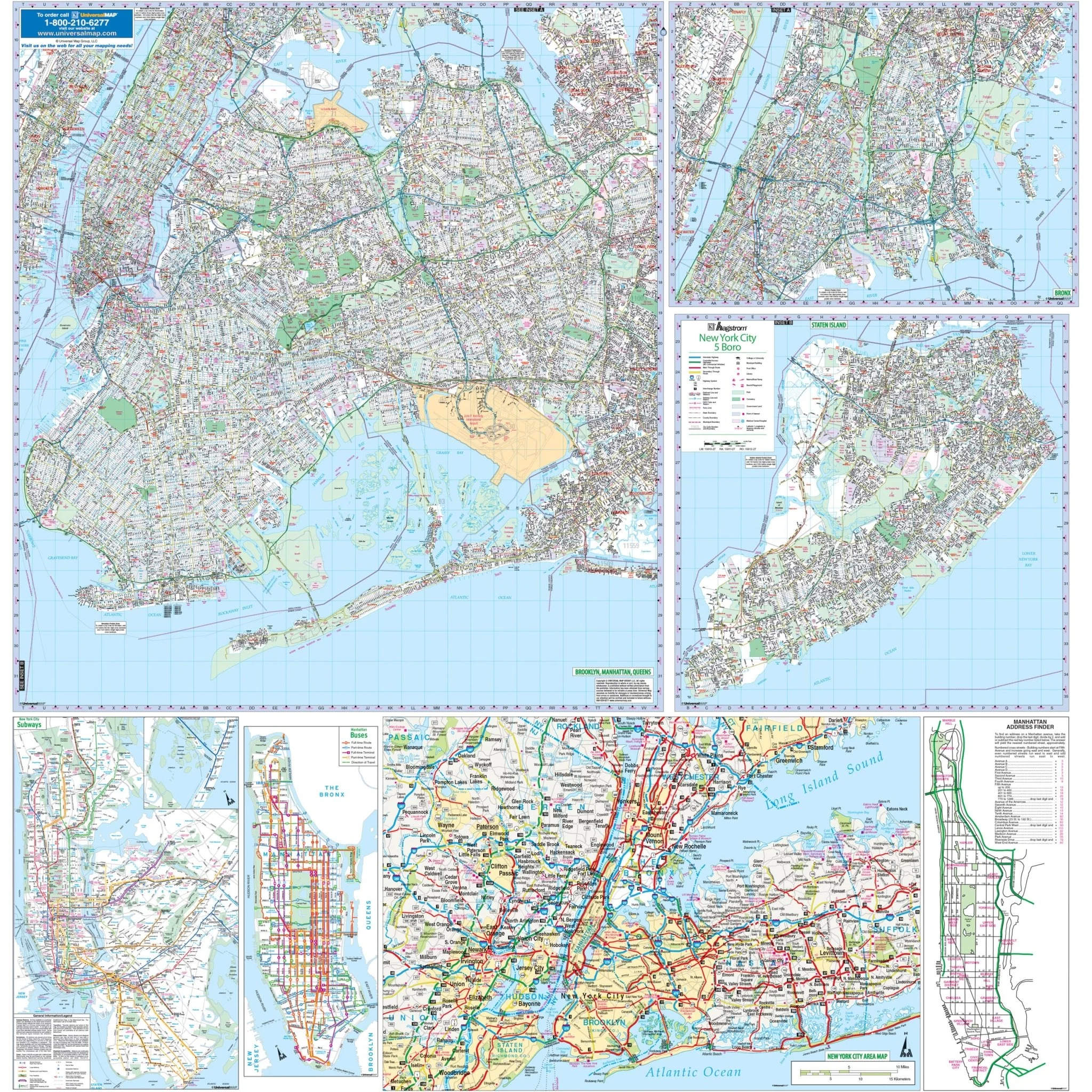
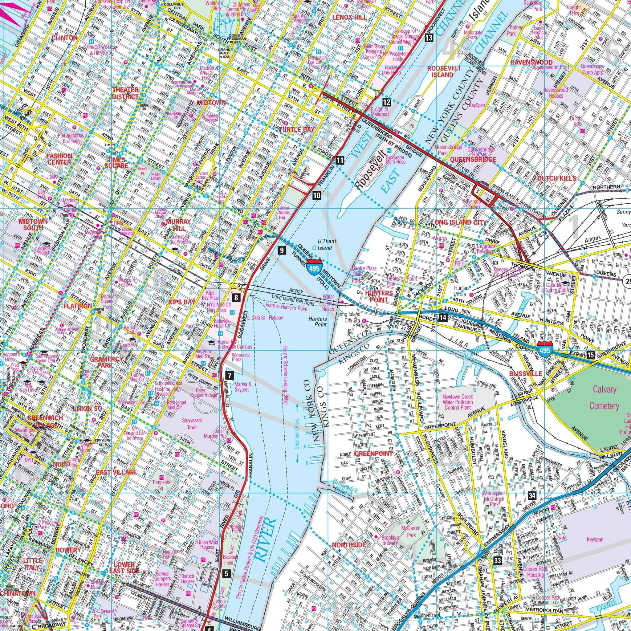
Details included on the map encompass all streets and highways, government buildings, airports, water features, fire/police stations, hospitals, shopping centers, educational facilities, railroads, recreational parks, golf/country clubs, city limits/annexations, cemeteries, ZIP codes/boundaries, and points of interest.
Size: 54" x 71.5"
Published: 2011
Original: $149.99
-70%$149.99
$45.00Product Information
Product Information
Shipping & Returns
Shipping & Returns
Description
This Nassau County, New York Wall Map by Kappa Map provides complete street detail and covers the following area:
- North: to Long Island Sound
- South: to the Atlantic Ocean
- East: to Huntington
- West: to the John F. Kennedy Airport
Details included on the map encompass all streets and highways, government buildings, airports, water features, fire/police stations, hospitals, shopping centers, educational facilities, railroads, recreational parks, golf/country clubs, city limits/annexations, cemeteries, ZIP codes/boundaries, and points of interest.
Size: 54" x 71.5"
Published: 2011