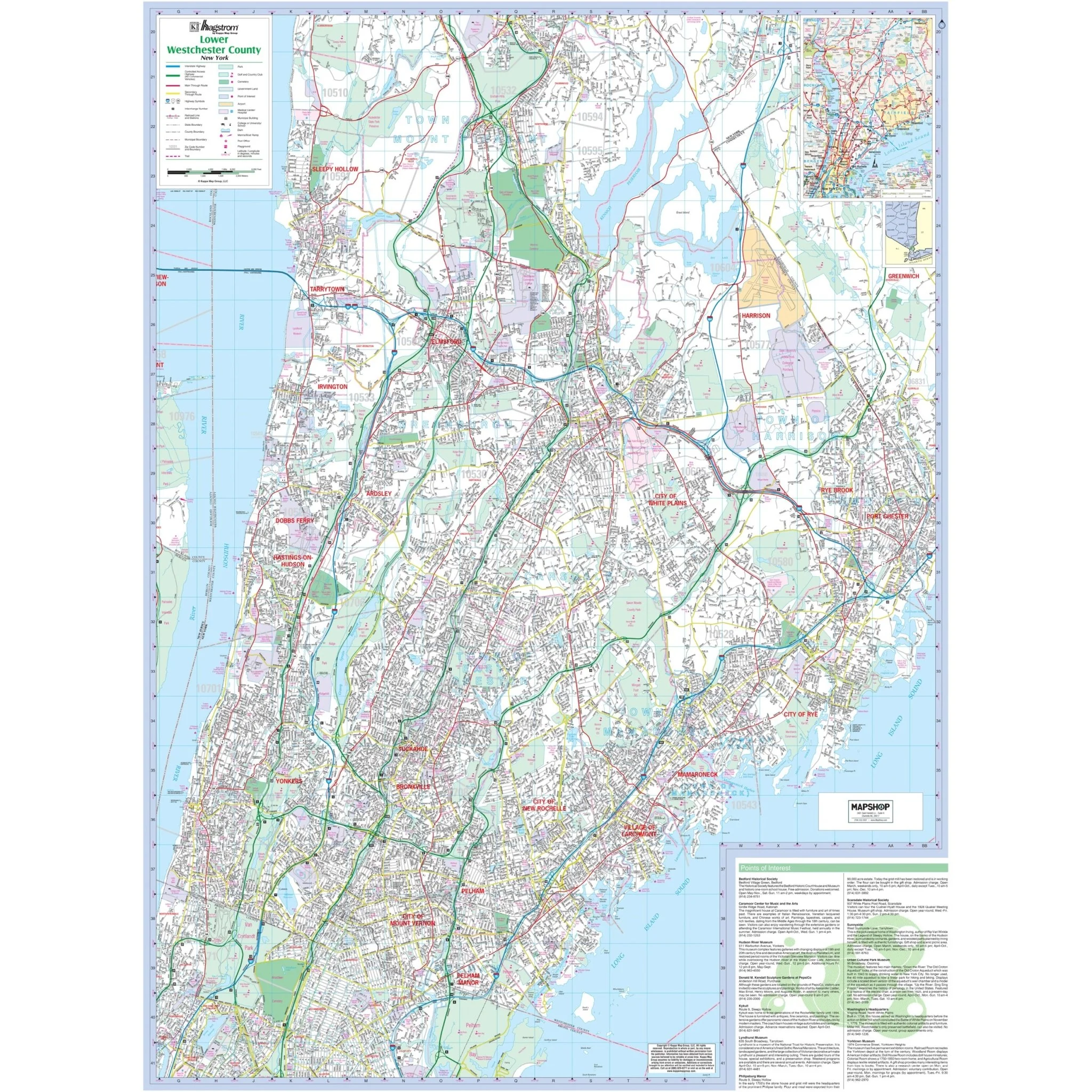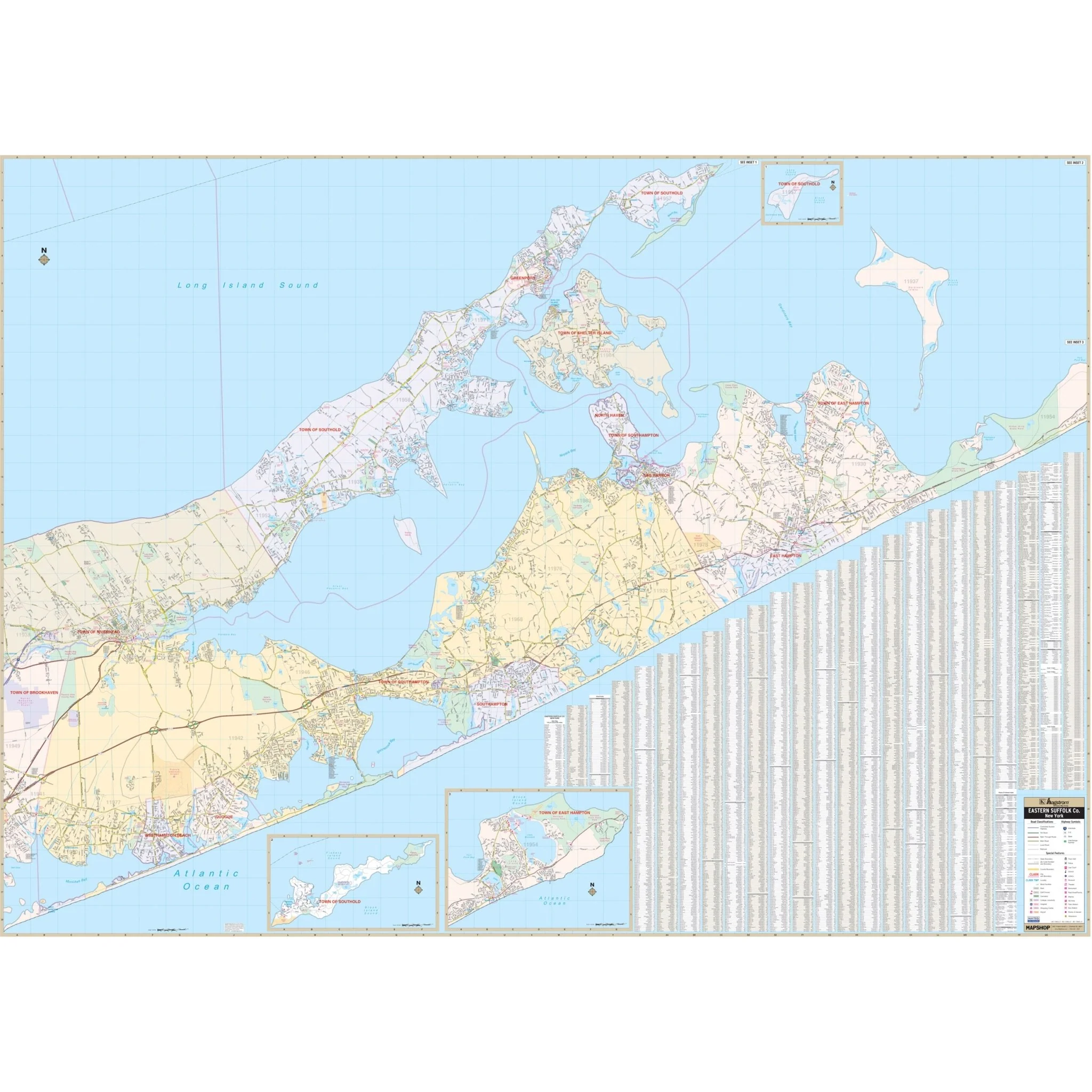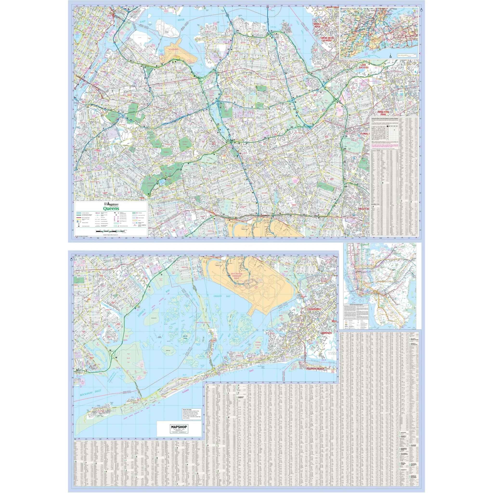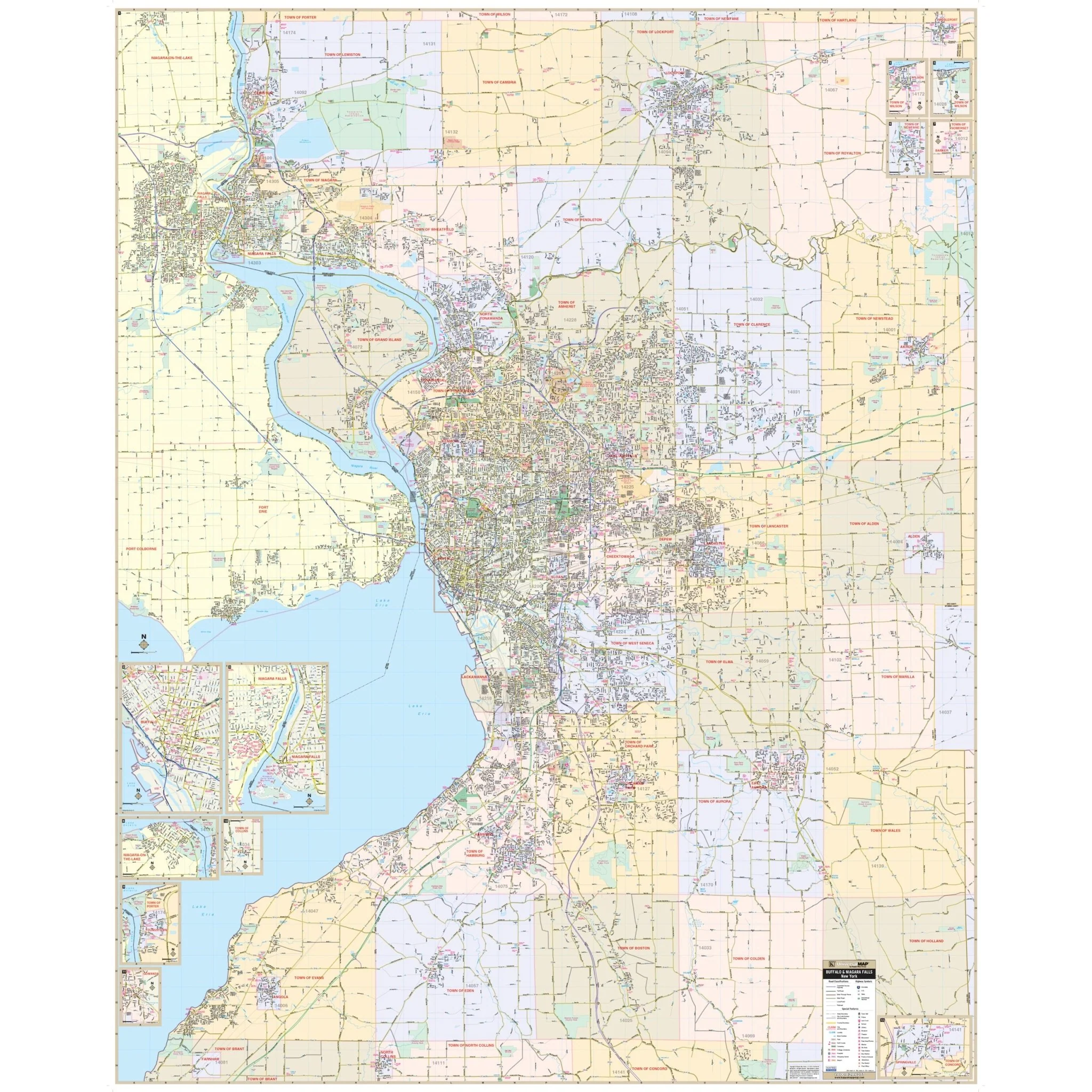
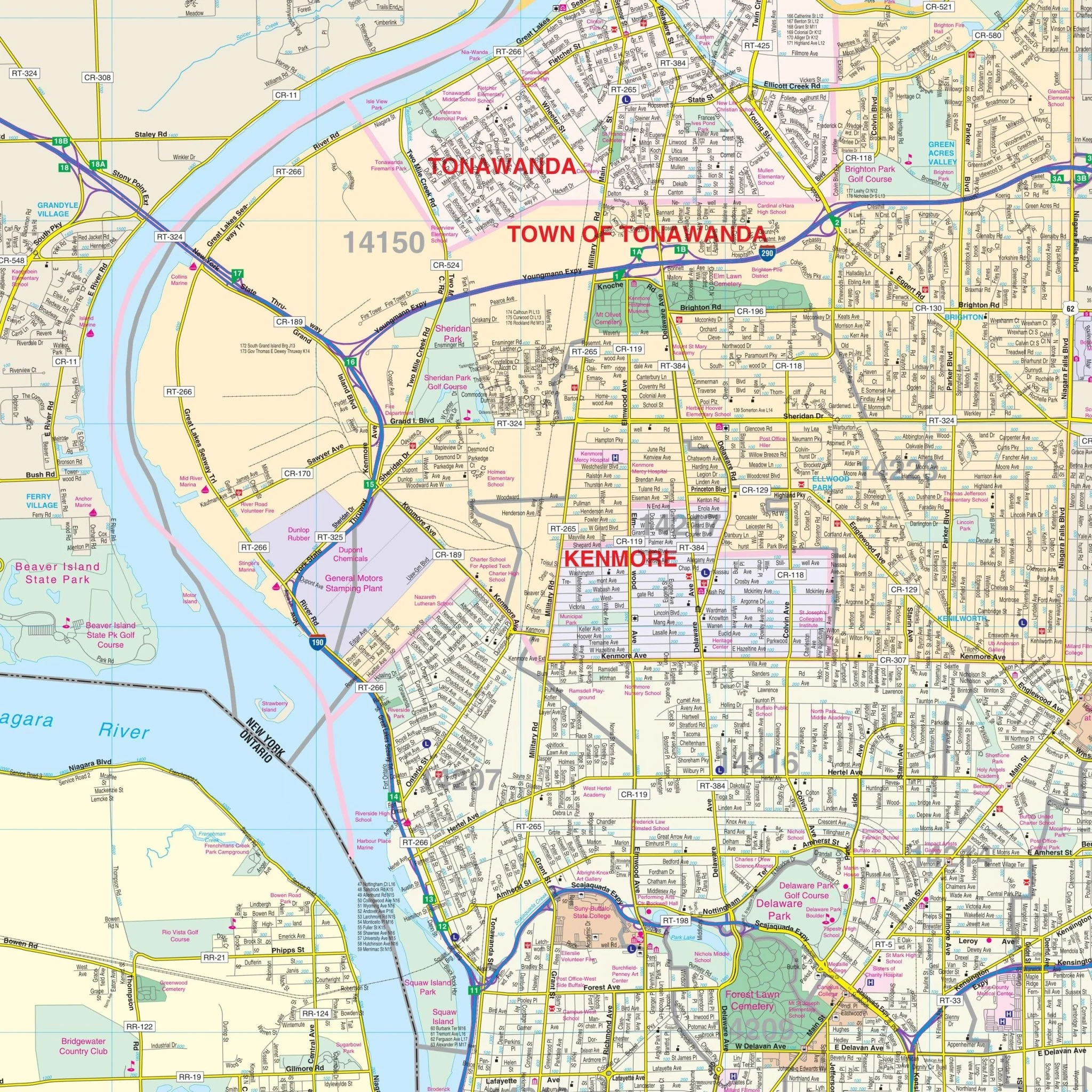


Buffalo & Erie County, NY Wall Map
The Buffalo & Erie Co, NY Wall Map, with adjacent areas, provides complete street detail and covers the following boundaries:
- North to Lockport and Lewiston, in Niagara County
- South to North Collins and Sprague Brook Country Park
- East to Middleport, in Niagara County
- West to Grand Niagara Resort, in Ontario, Canada
The Buffalo & Erie Co, NY Wall Map also includes insets of Downtown Buffalo, Collins, Gowanda, Niagara Falls, Niagara-on-the-Lake, Springville, and Youngstown. Details and features on the map include airports, cemeteries, city limits (color-coded), educational institutions, fire & police stations, golf & country clubs, government buildings, hospitals, libraries, points of interest, post offices, railroads, recreational parks, shopping centers, streets & highways, water features, and ZIP code boundaries.
Size: 72" x 89"
Published: 2013
Original: $259.99
-70%$259.99
$78.00Product Information
Product Information
Shipping & Returns
Shipping & Returns
Description
The Buffalo & Erie Co, NY Wall Map, with adjacent areas, provides complete street detail and covers the following boundaries:
- North to Lockport and Lewiston, in Niagara County
- South to North Collins and Sprague Brook Country Park
- East to Middleport, in Niagara County
- West to Grand Niagara Resort, in Ontario, Canada
The Buffalo & Erie Co, NY Wall Map also includes insets of Downtown Buffalo, Collins, Gowanda, Niagara Falls, Niagara-on-the-Lake, Springville, and Youngstown. Details and features on the map include airports, cemeteries, city limits (color-coded), educational institutions, fire & police stations, golf & country clubs, government buildings, hospitals, libraries, points of interest, post offices, railroads, recreational parks, shopping centers, streets & highways, water features, and ZIP code boundaries.
Size: 72" x 89"
Published: 2013