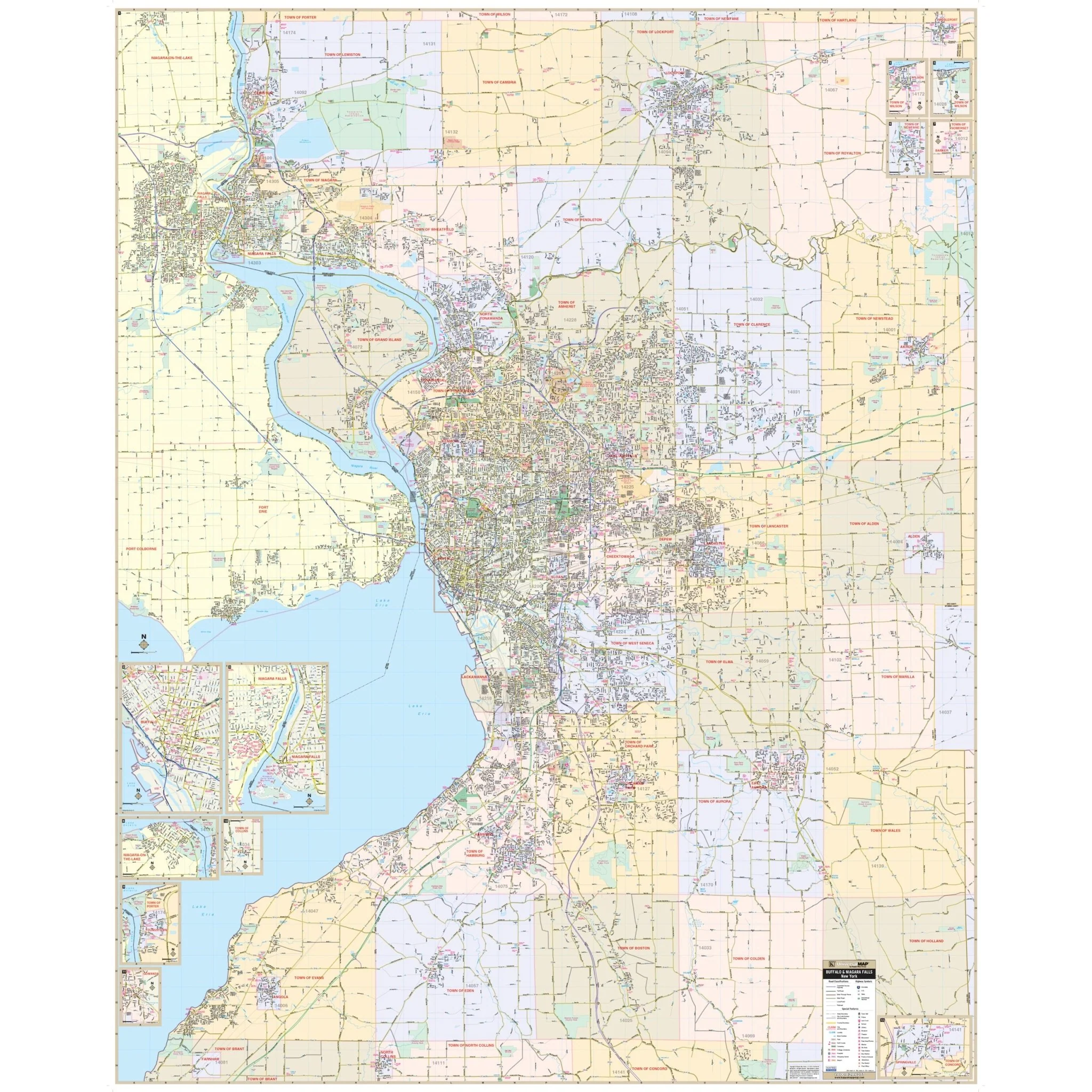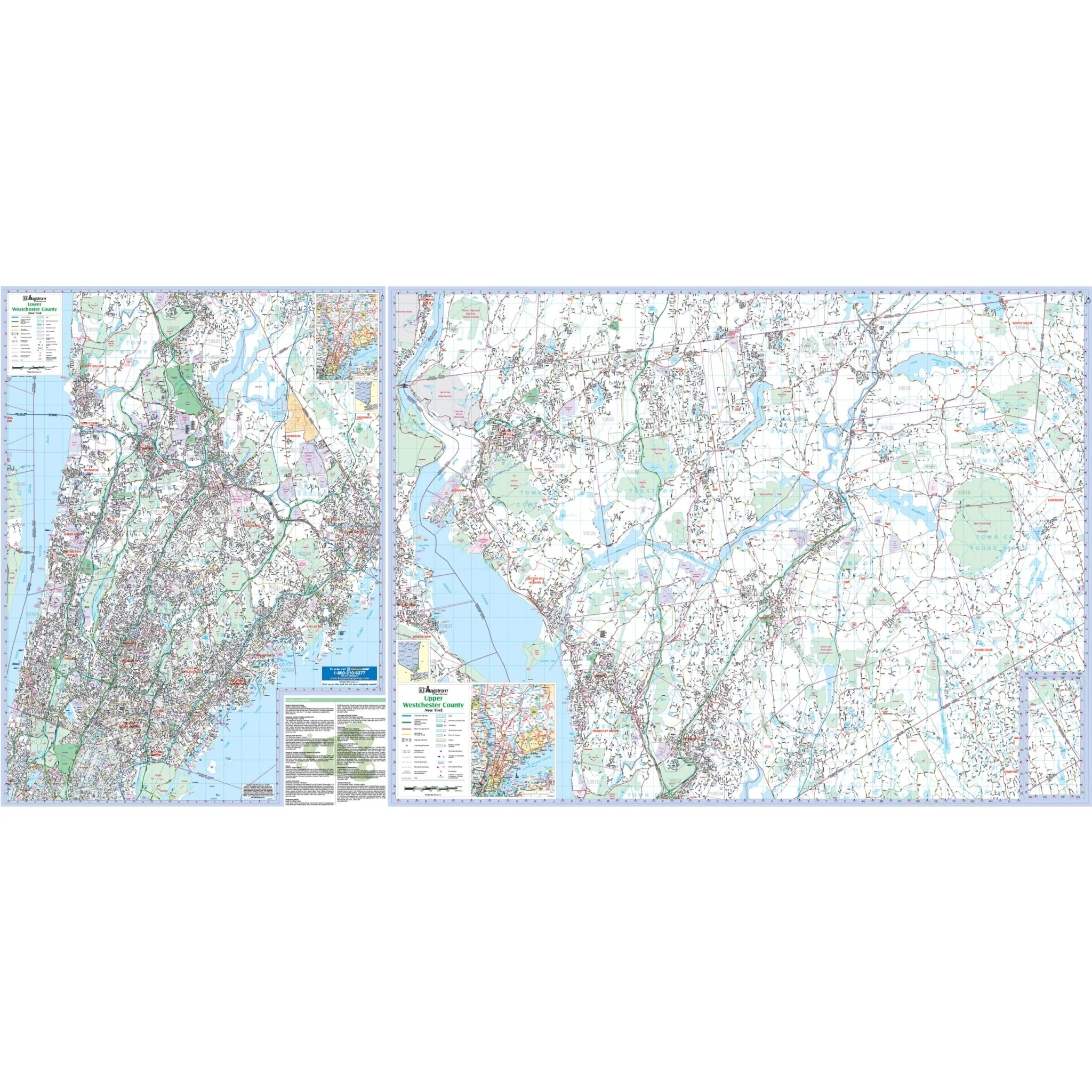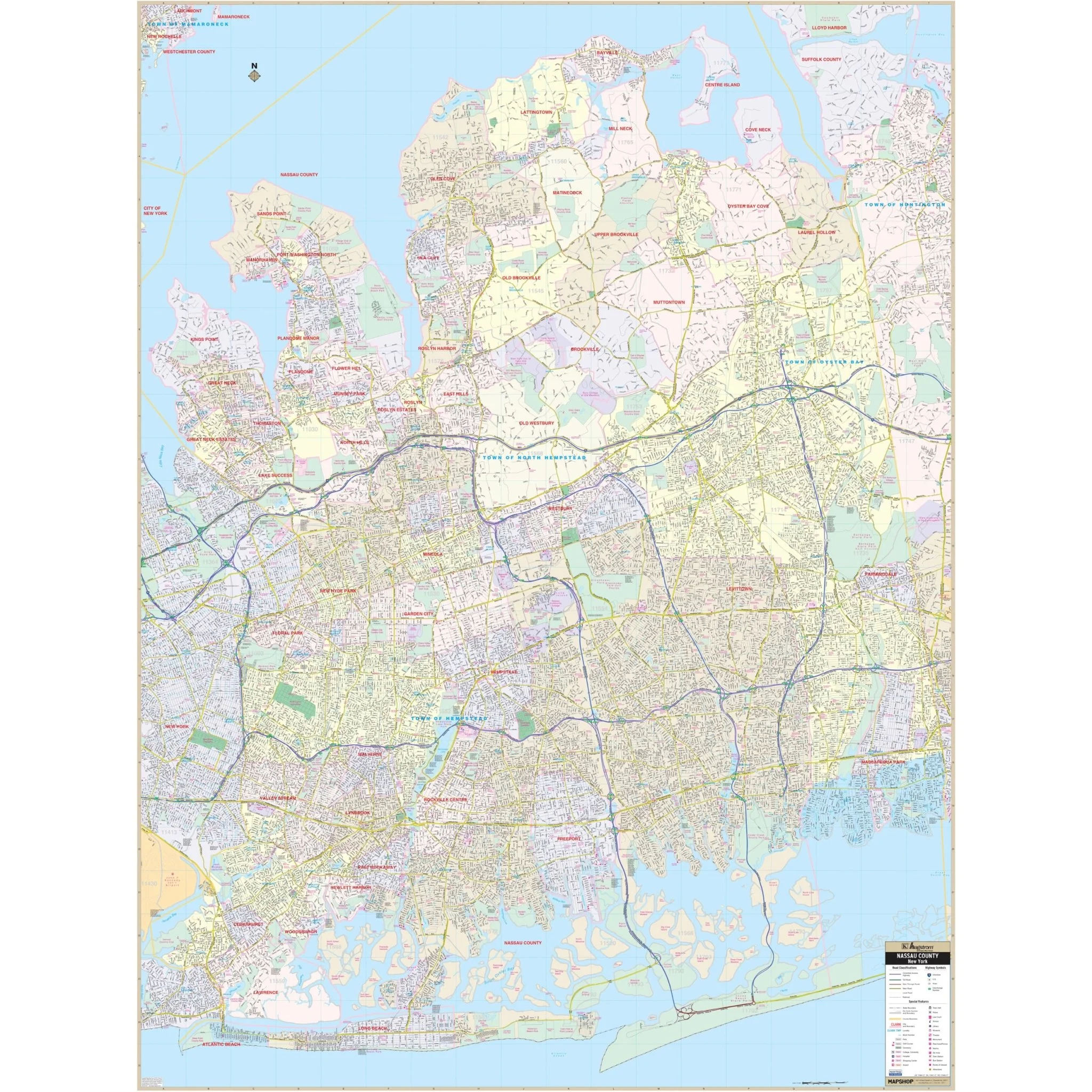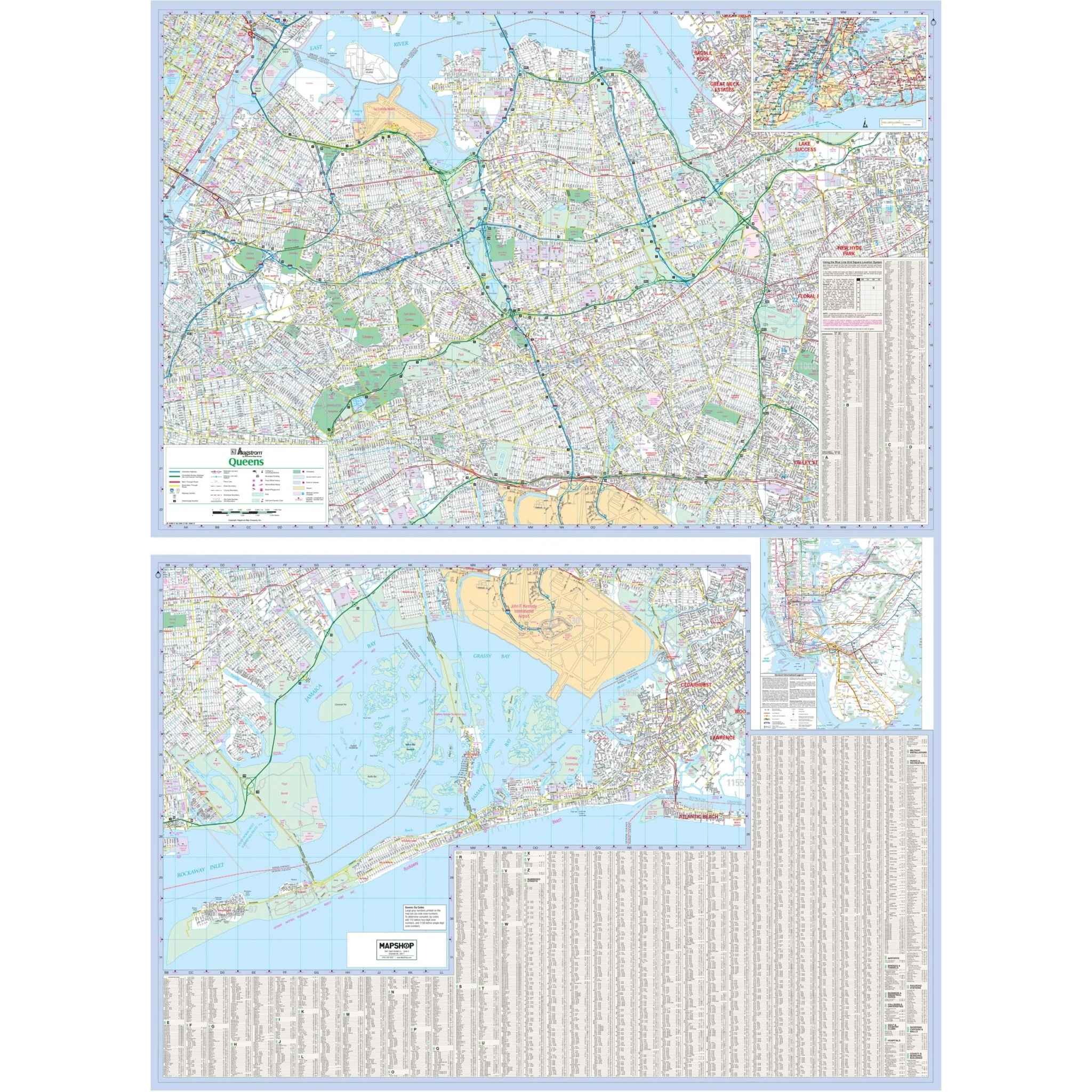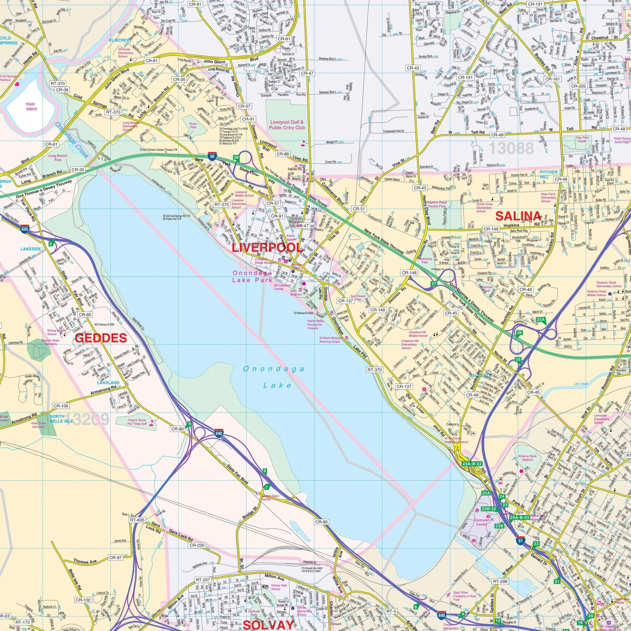


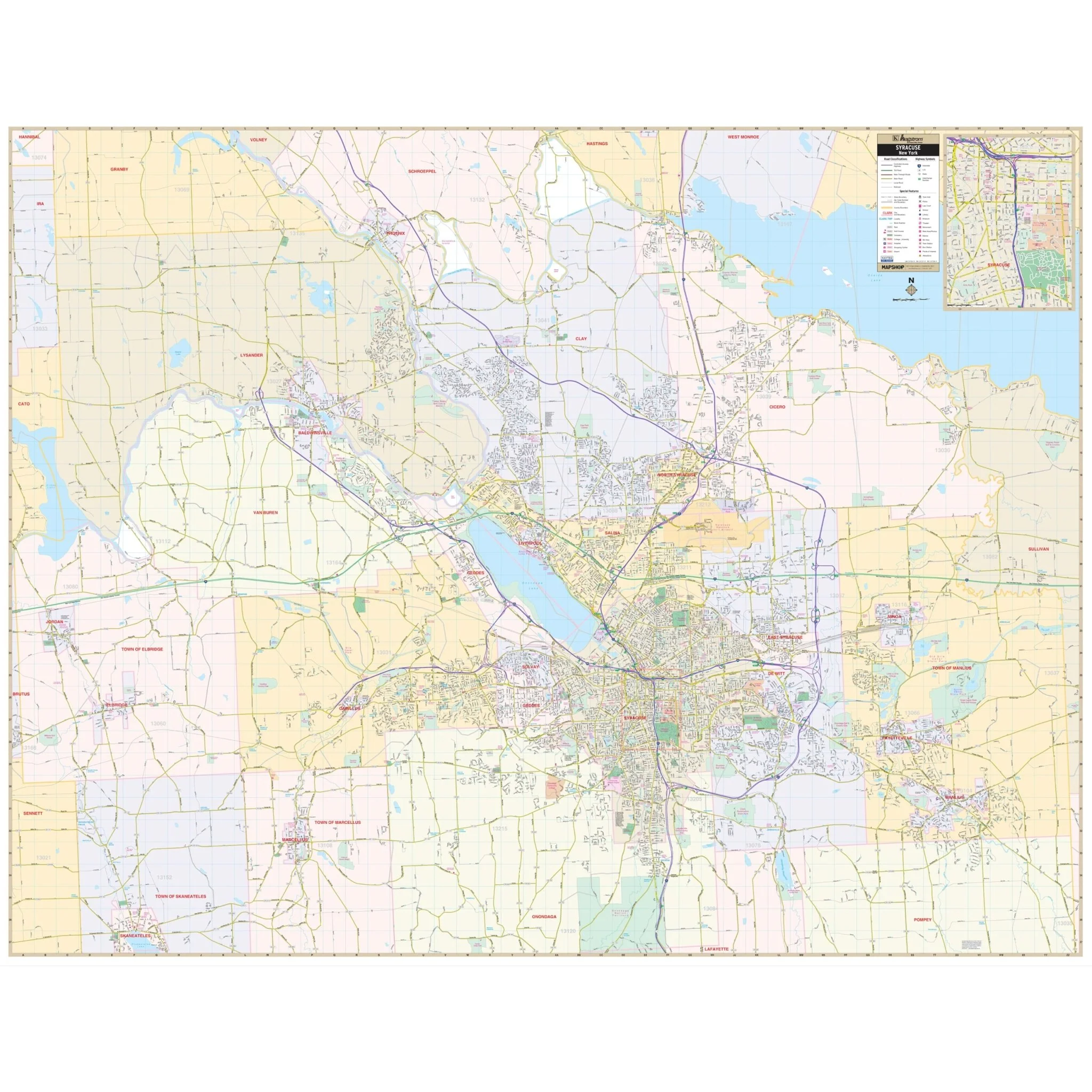
Syracuse, NY Wall Map
The Syracuse, NY Wall Map, with adjacent areas, provides complete street detail in a comprehensive coverage area:
- North: Onondaga County line
- South: Onondaga Nation Territory and Skaneateles
- East: Onondaga County line
- West: Onondaga County line
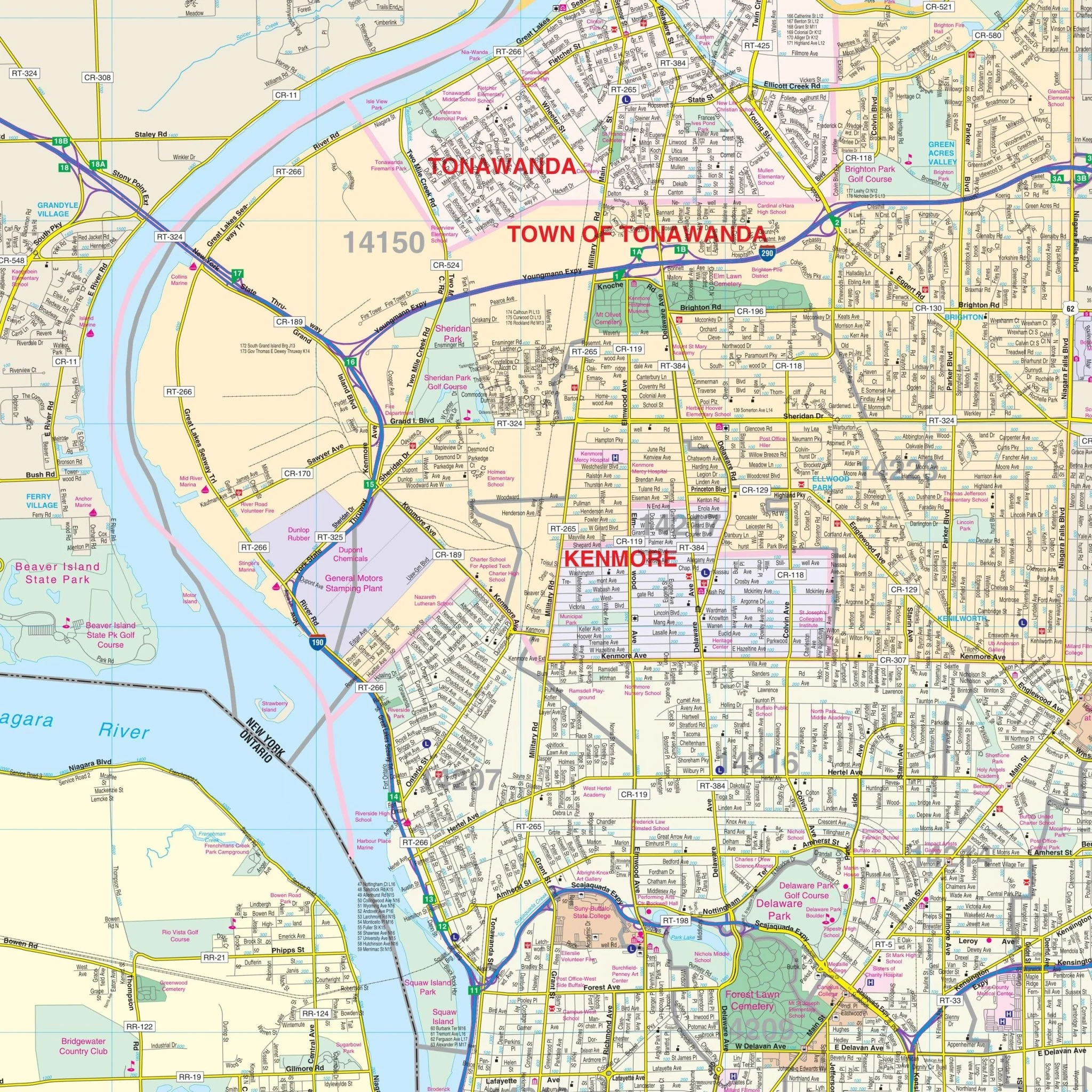
The Syracuse, NY Wall Map includes an inset map of Downtown Syracuse. It features details and features such as airports, block numbers, cemeteries, city limits, educational institutions, golf and country clubs, government buildings, hospitals, libraries, points of interest, police stations, railroads, recreational parks, shopping centers, streets and highways, water features, and ZIP code boundaries.
Size: 73.25" x 57"
Published: 2014
Original: $149.99
-70%$149.99
$45.00Product Information
Product Information
Shipping & Returns
Shipping & Returns
Description
The Syracuse, NY Wall Map, with adjacent areas, provides complete street detail in a comprehensive coverage area:
- North: Onondaga County line
- South: Onondaga Nation Territory and Skaneateles
- East: Onondaga County line
- West: Onondaga County line
The Syracuse, NY Wall Map includes an inset map of Downtown Syracuse. It features details and features such as airports, block numbers, cemeteries, city limits, educational institutions, golf and country clubs, government buildings, hospitals, libraries, points of interest, police stations, railroads, recreational parks, shopping centers, streets and highways, water features, and ZIP code boundaries.
Size: 73.25" x 57"
Published: 2014