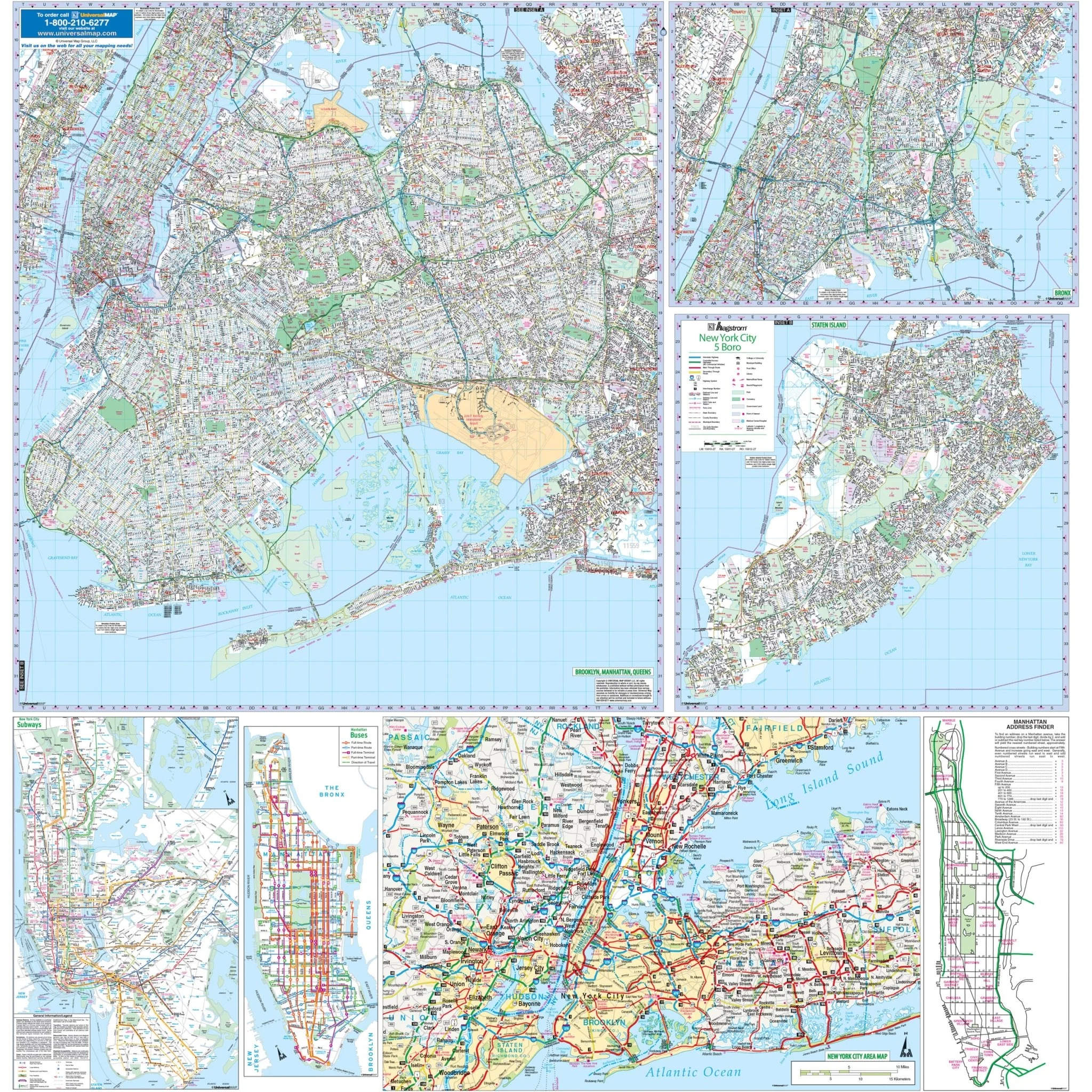


New York City, NY 5 Boroughs Wall Map
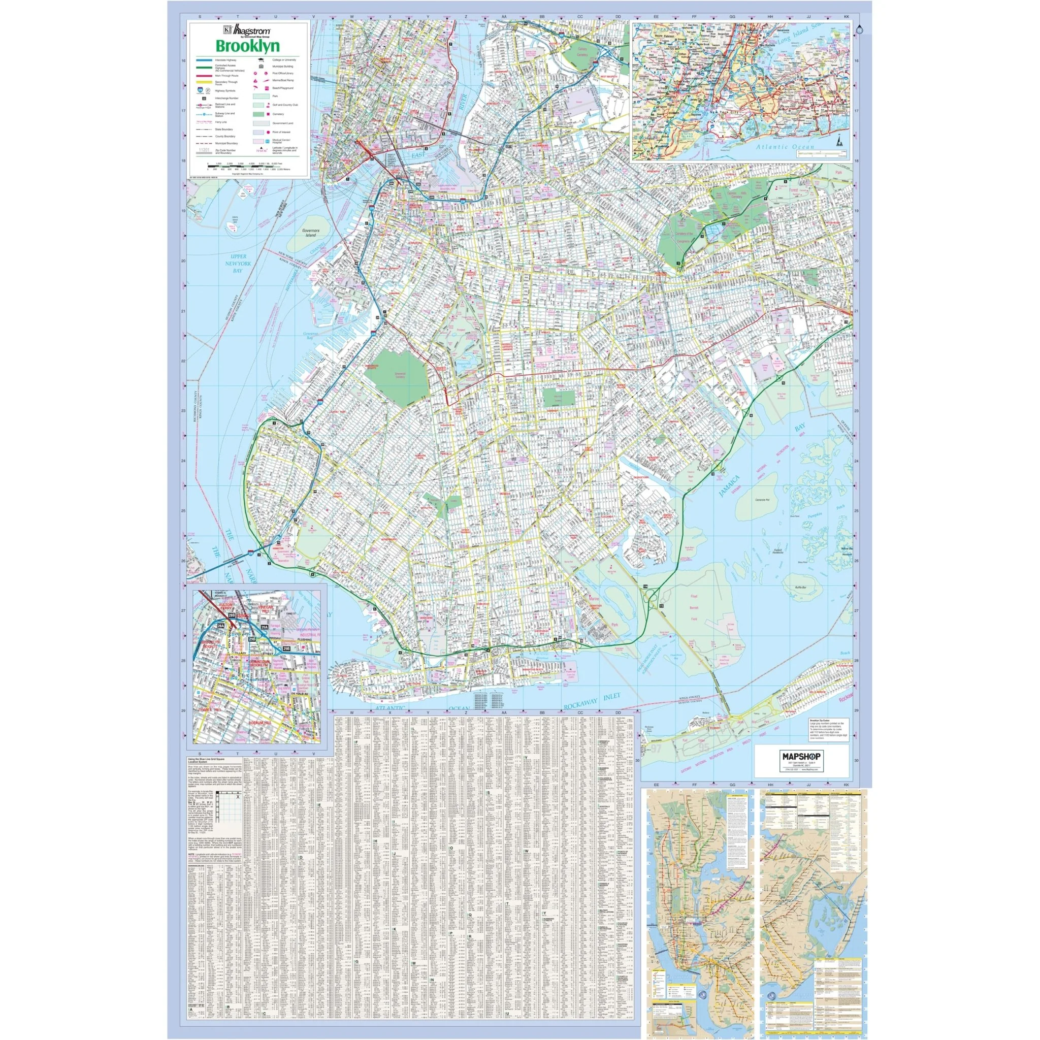
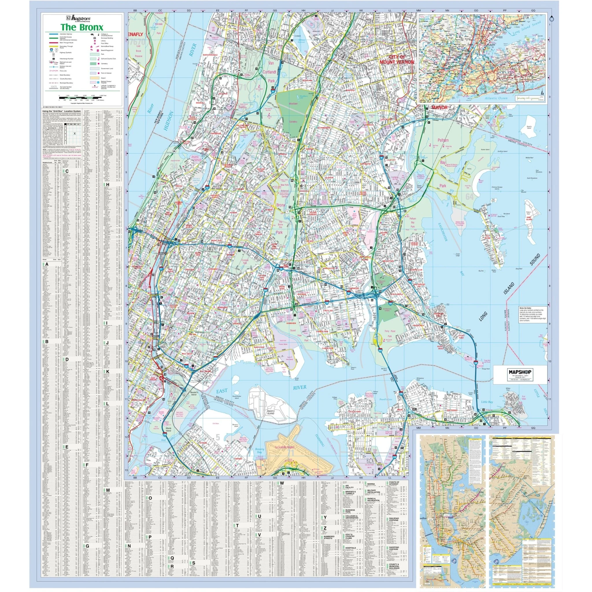
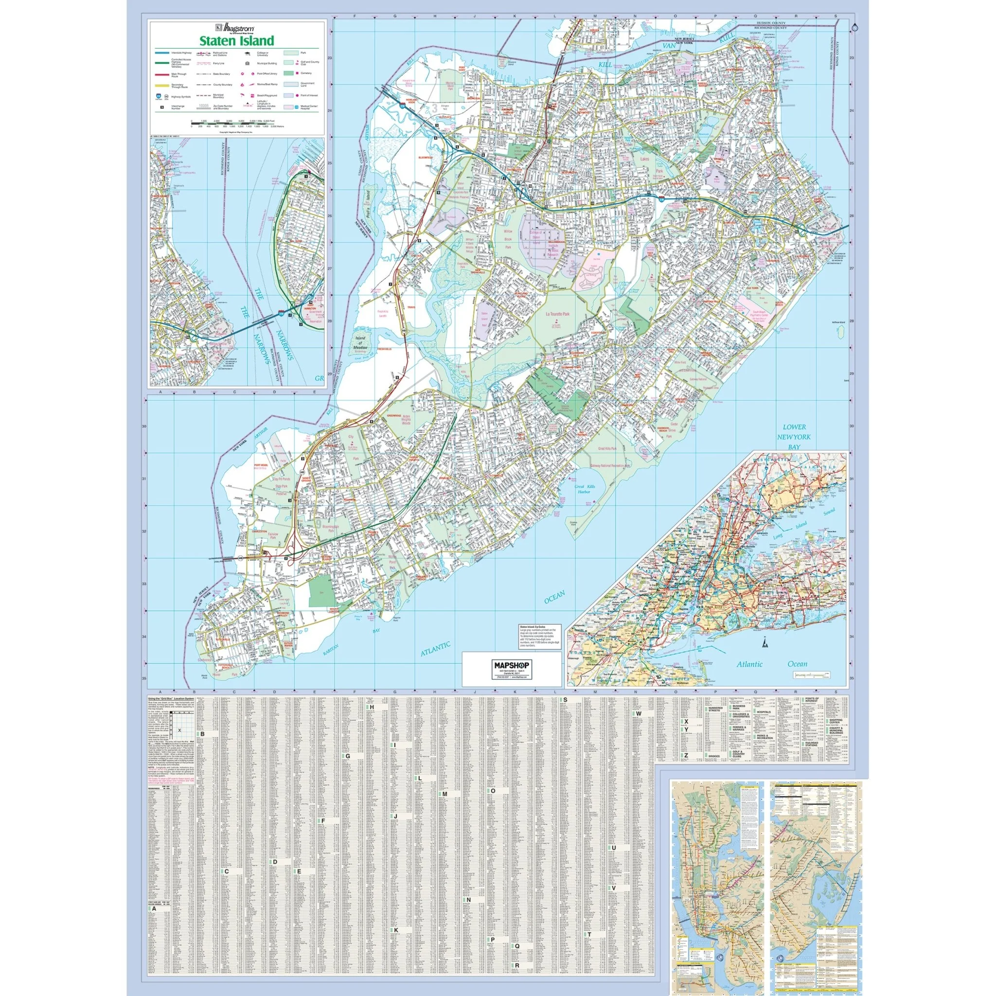
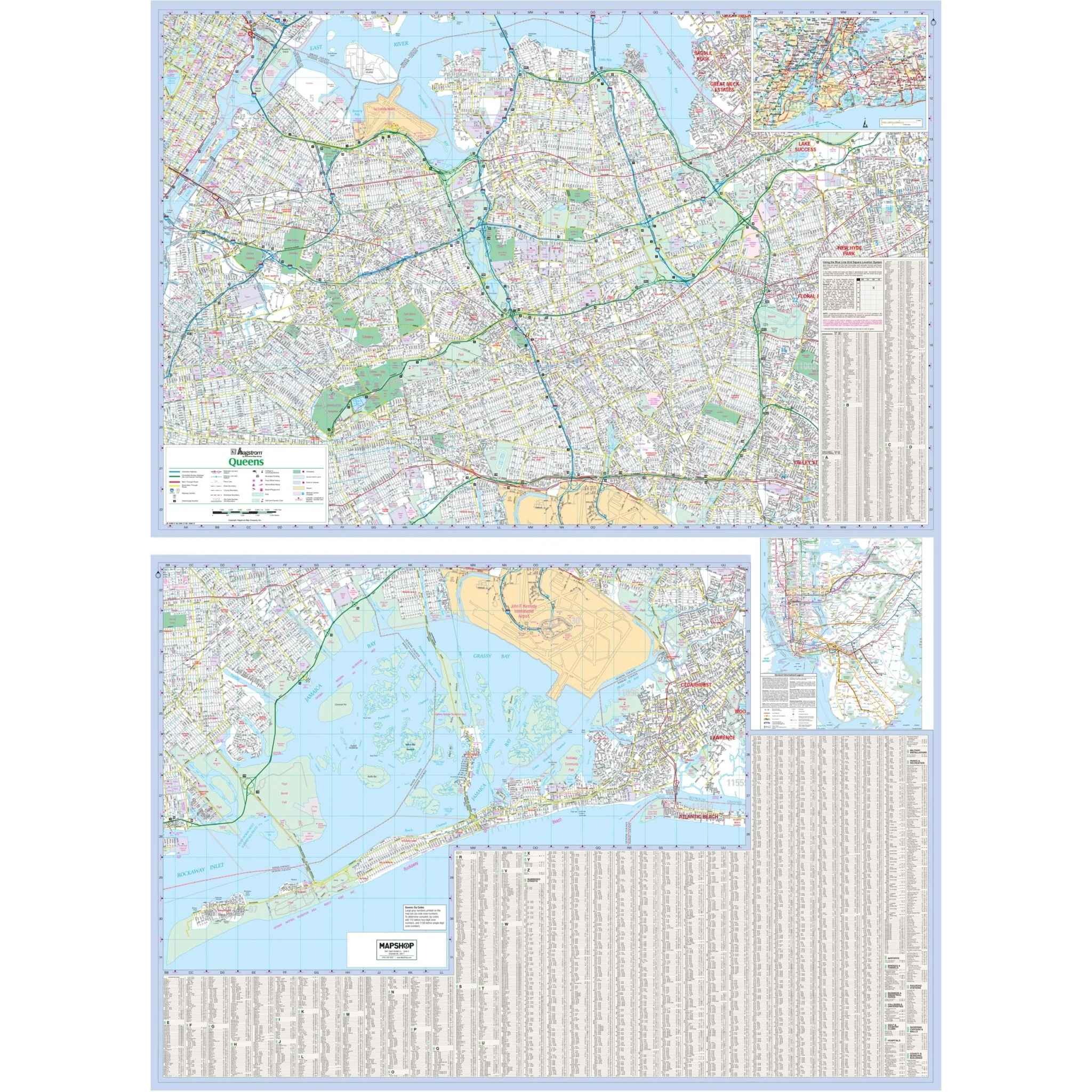
The New York City – 5 Boroughs, NY Wall Map by Hagstrom, available from Kappa Map Group, is a high-quality map with the following areas of coverage:
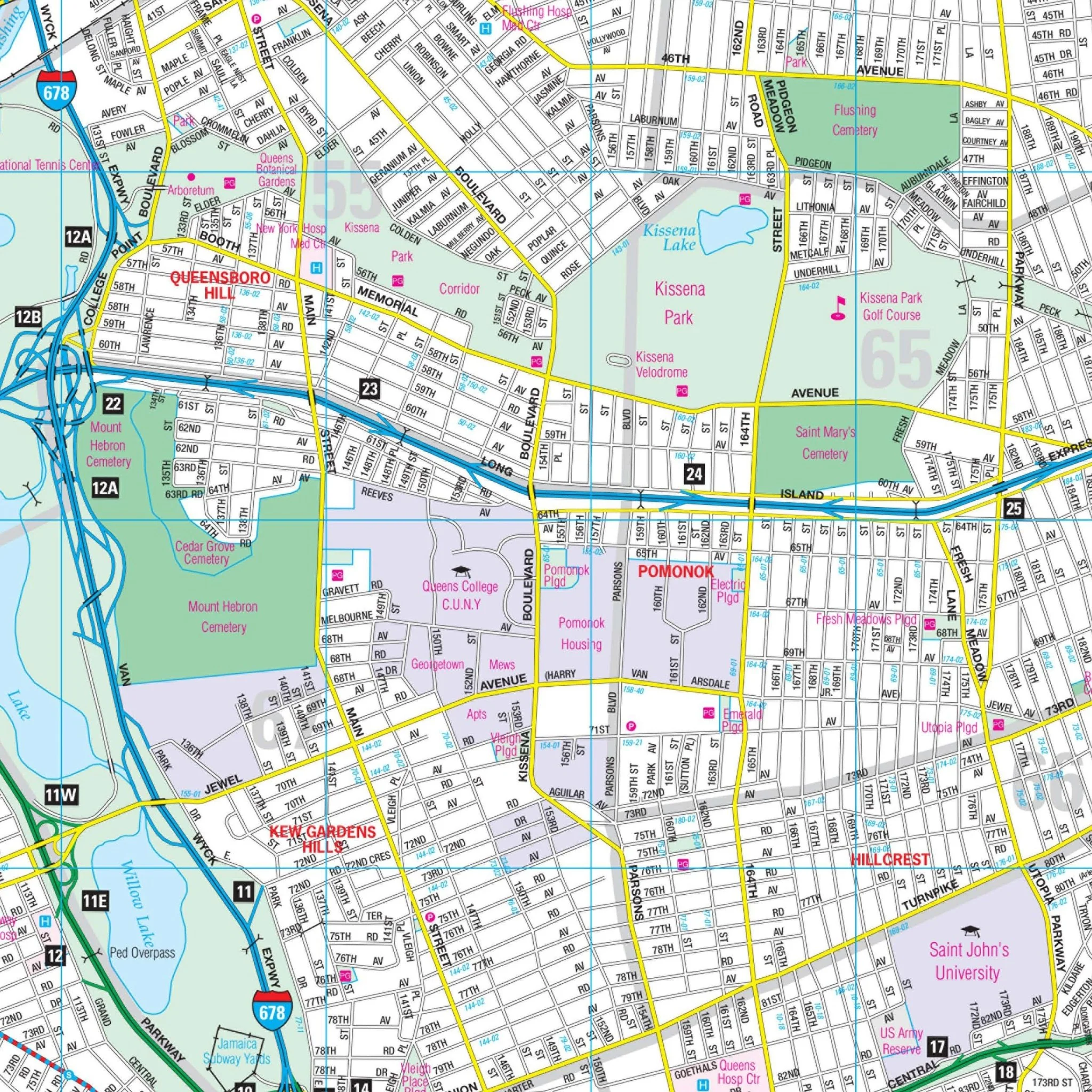
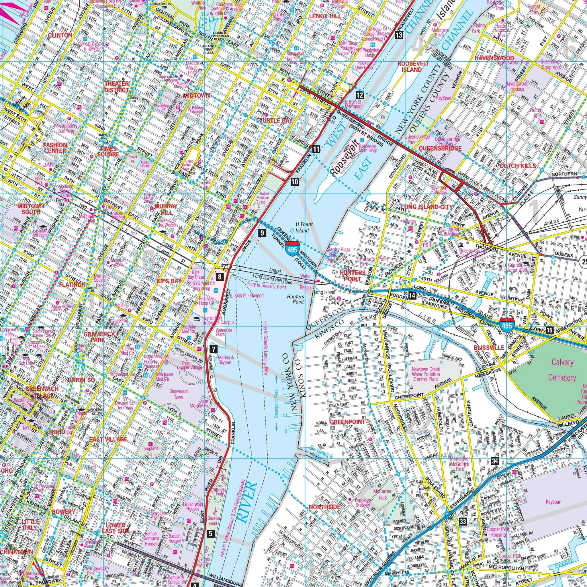
- The five boroughs of Bronx, New York (Manhattan), Queens, Kings (Brooklyn), and Richmond (Staten Island)
Four insets include:
- NYC Subway System
- Bus Route – Manhattan
- Manhattan Address Finder
- NYC Area Map
East: Huntington Station-Suffolk County; South: Atlantic Ocean; North: White Plains in Westchester County NY; West: All of Essex County NJ and Bloomingdale in Passaic County, NJ.
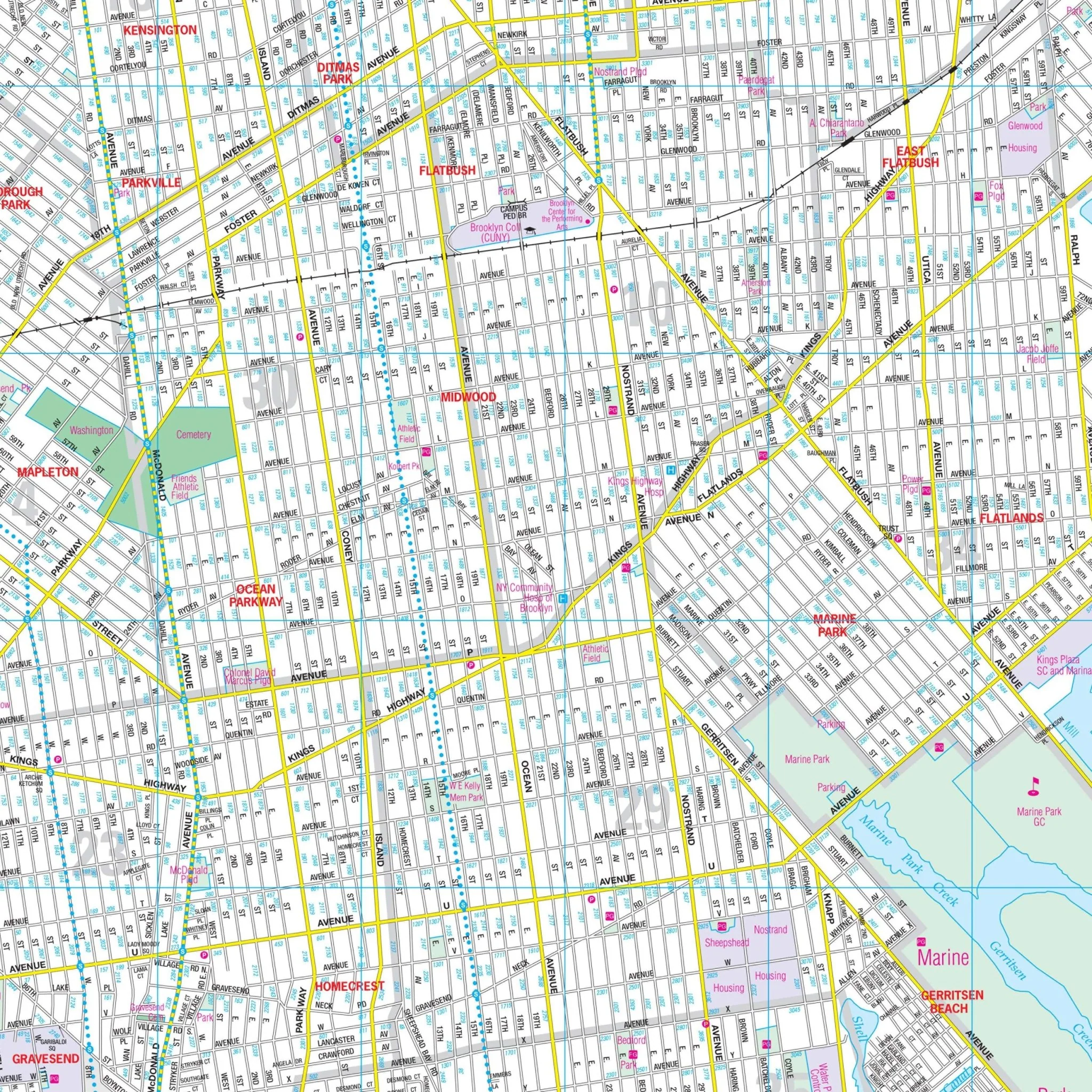
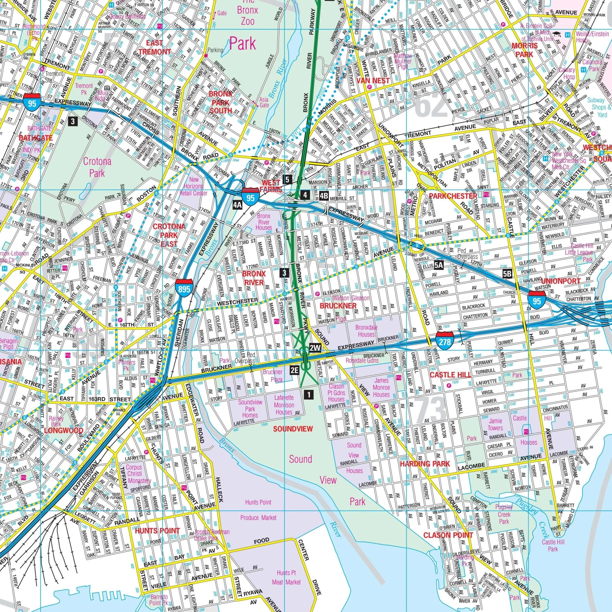
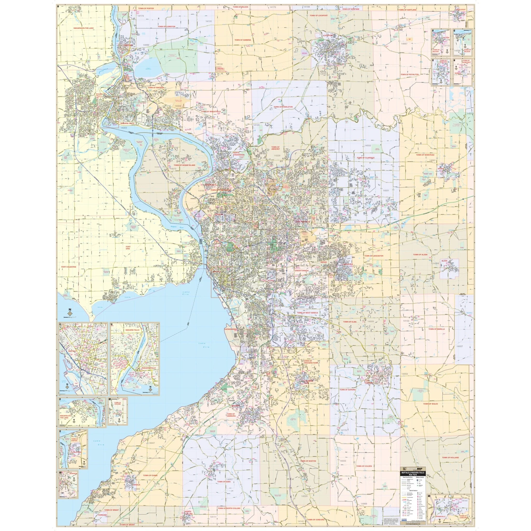
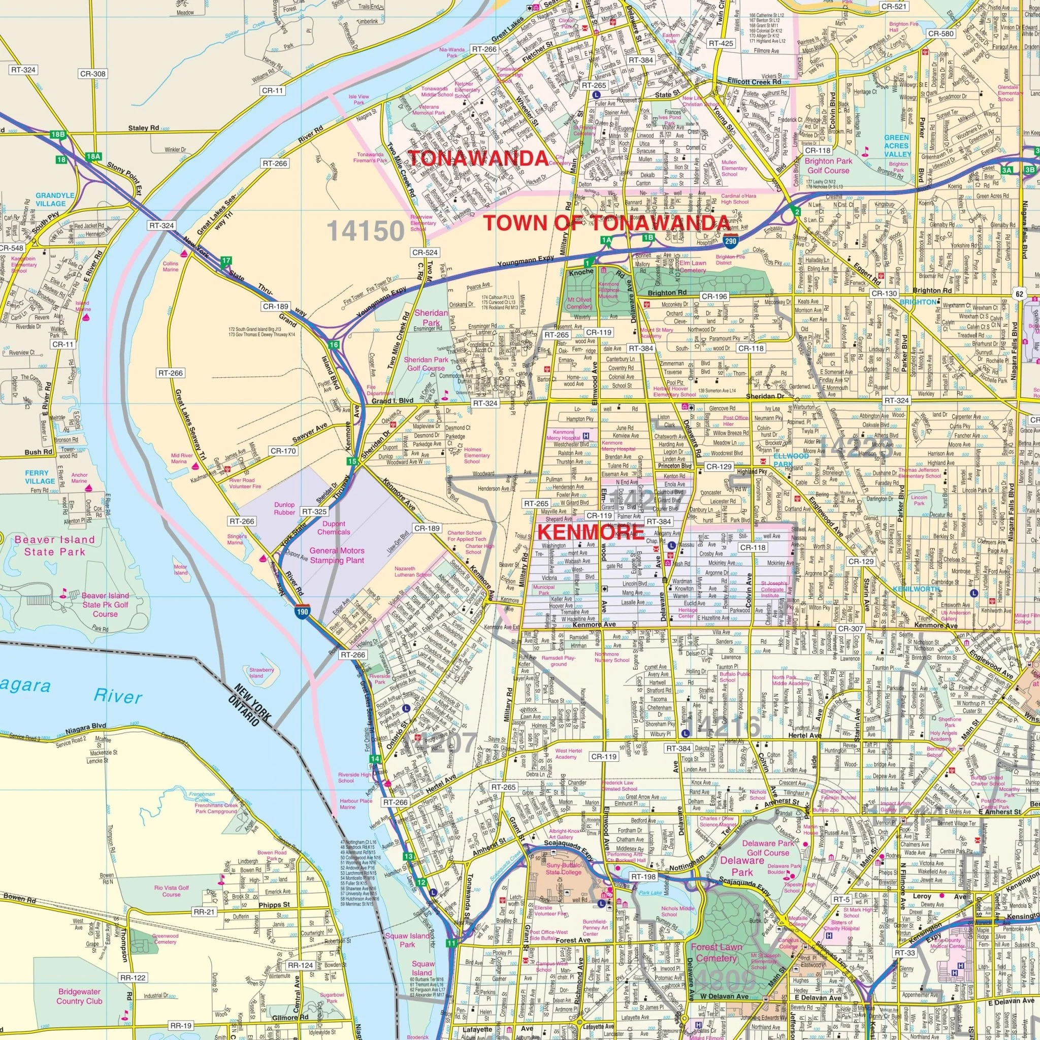
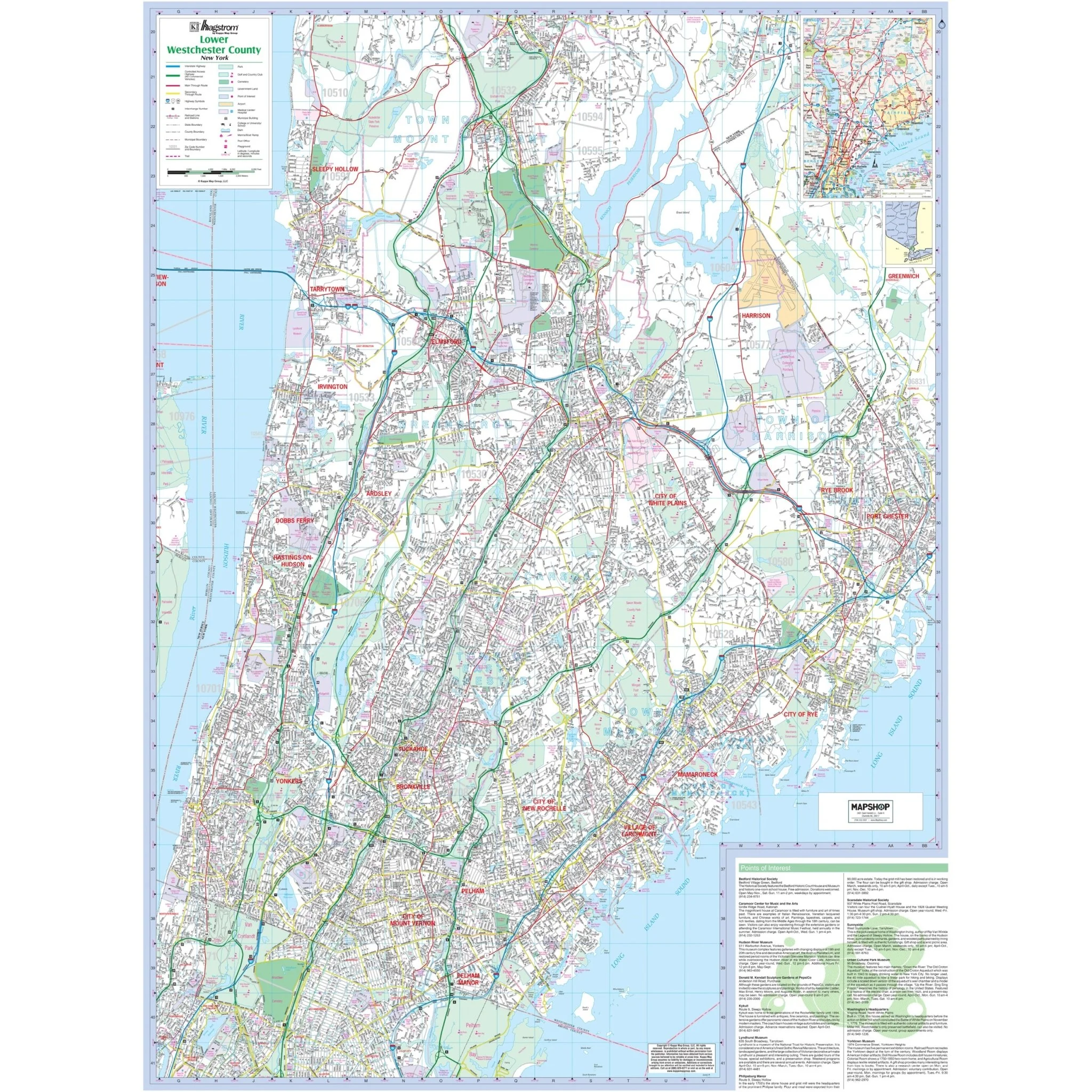
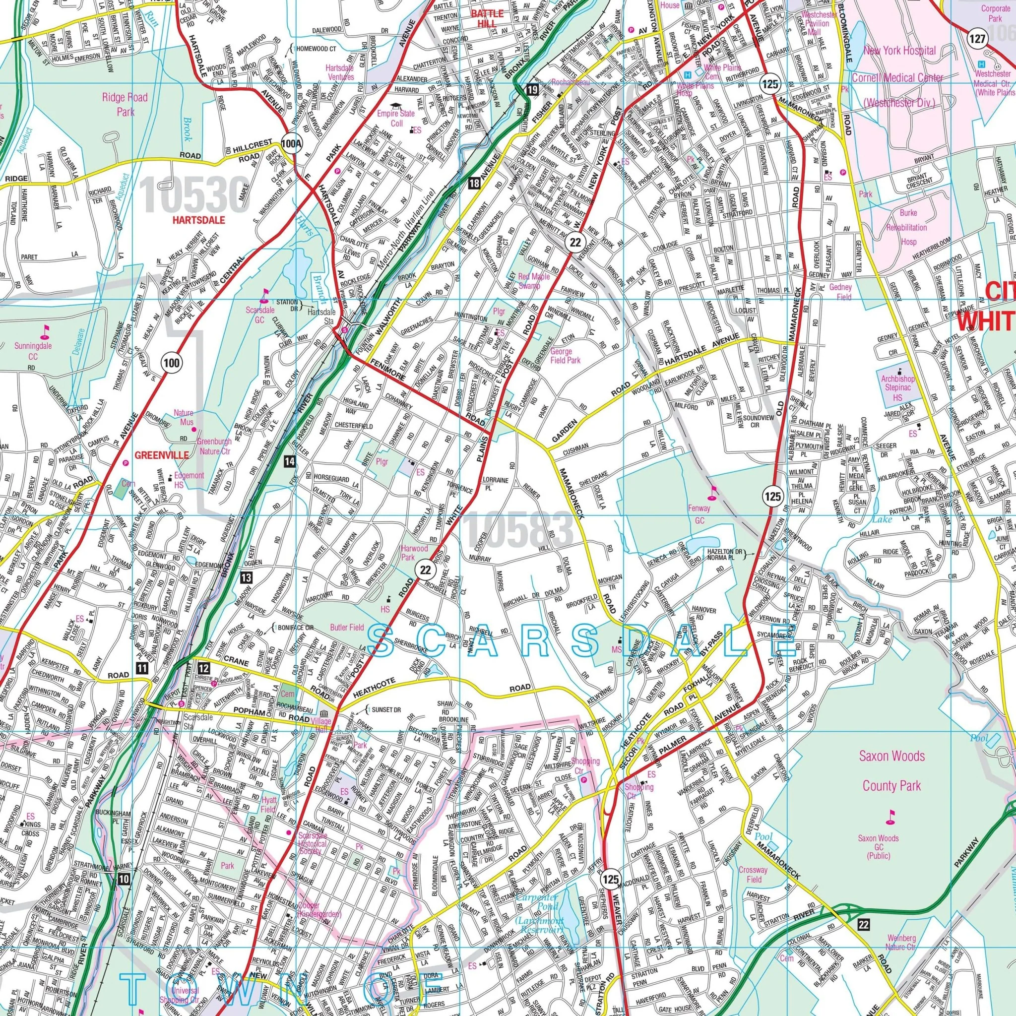
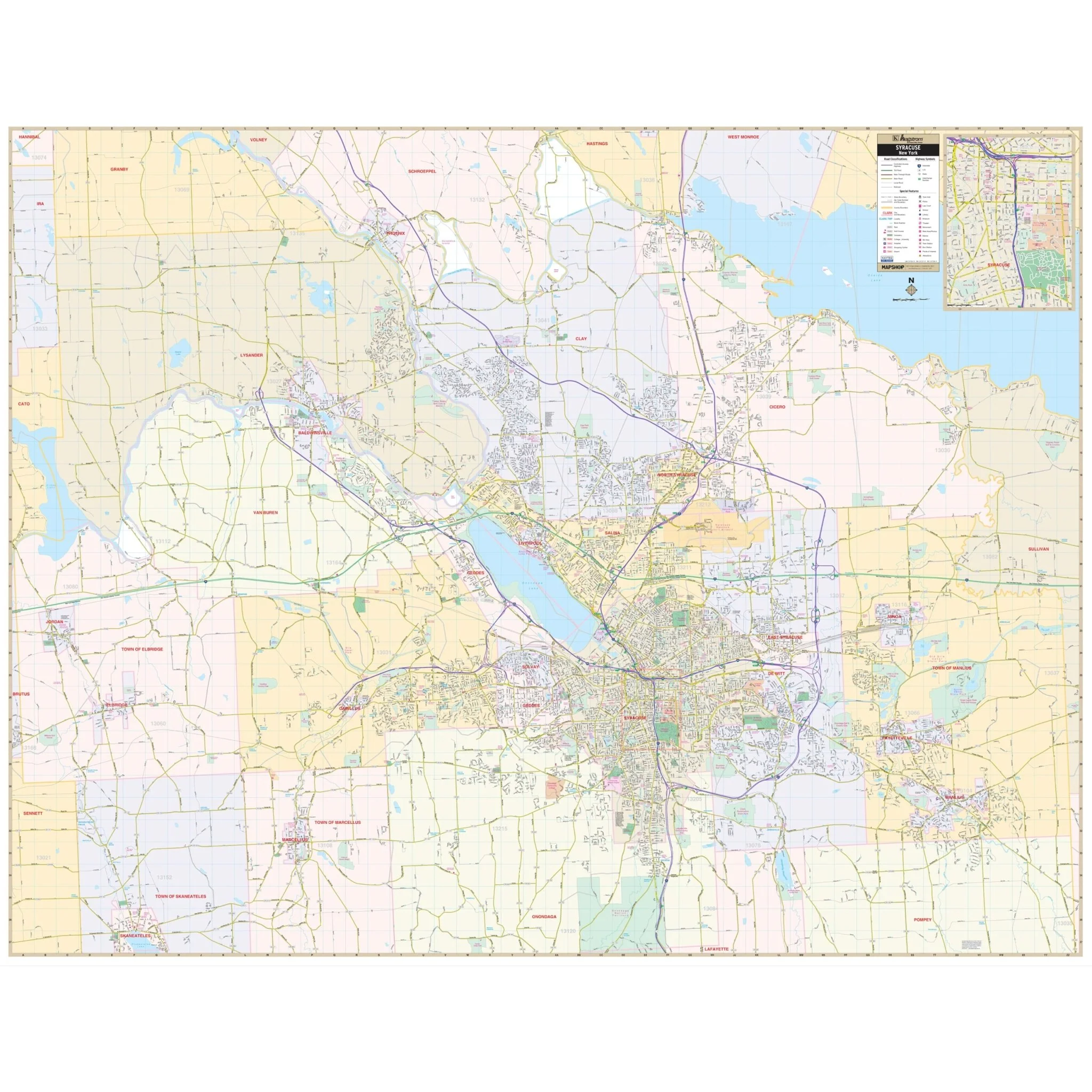
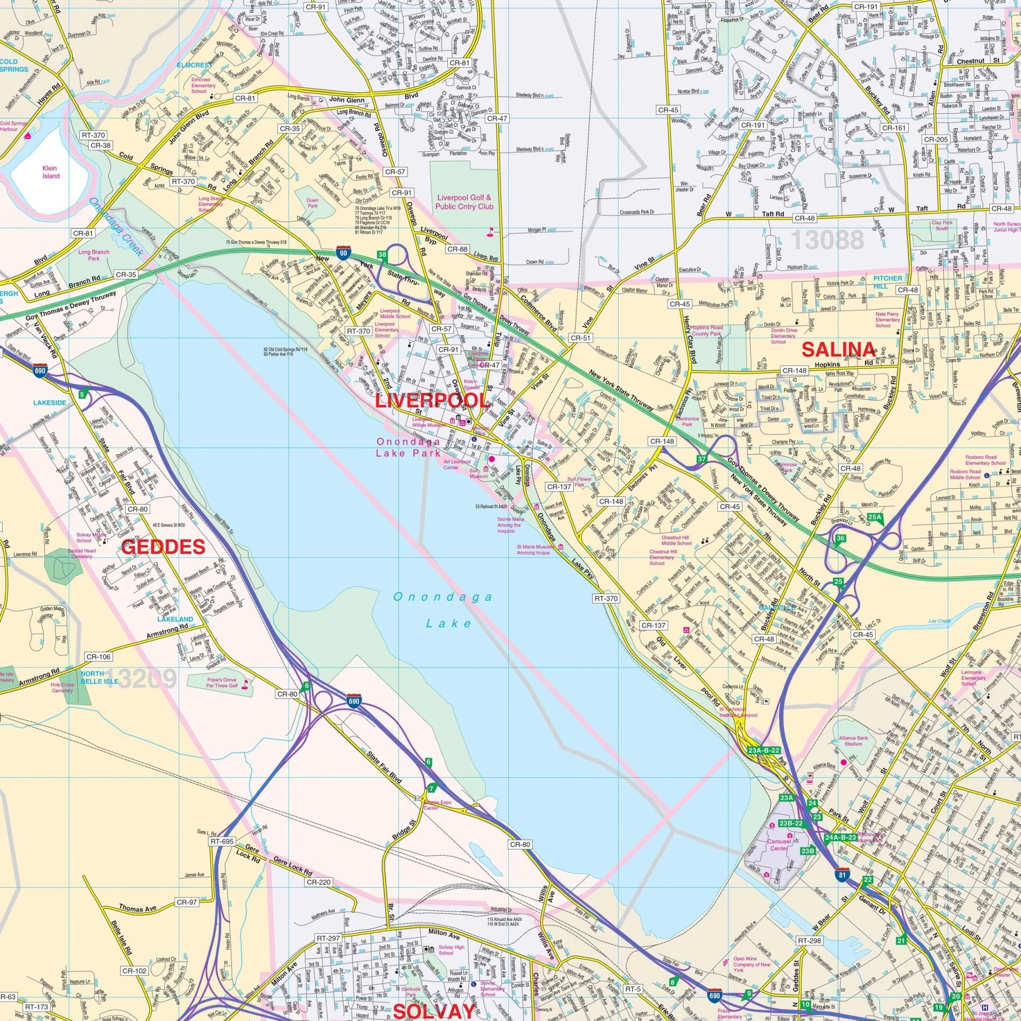
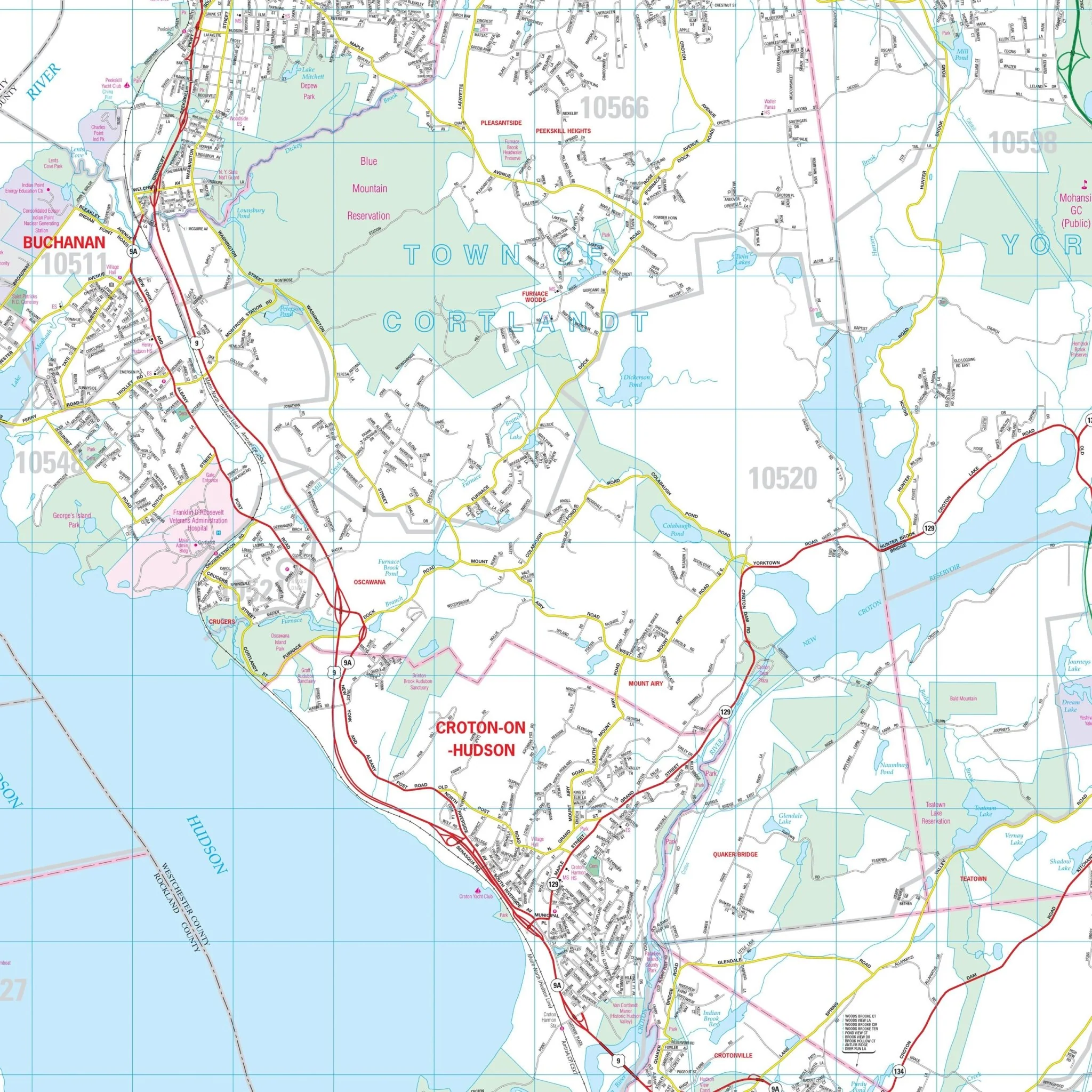
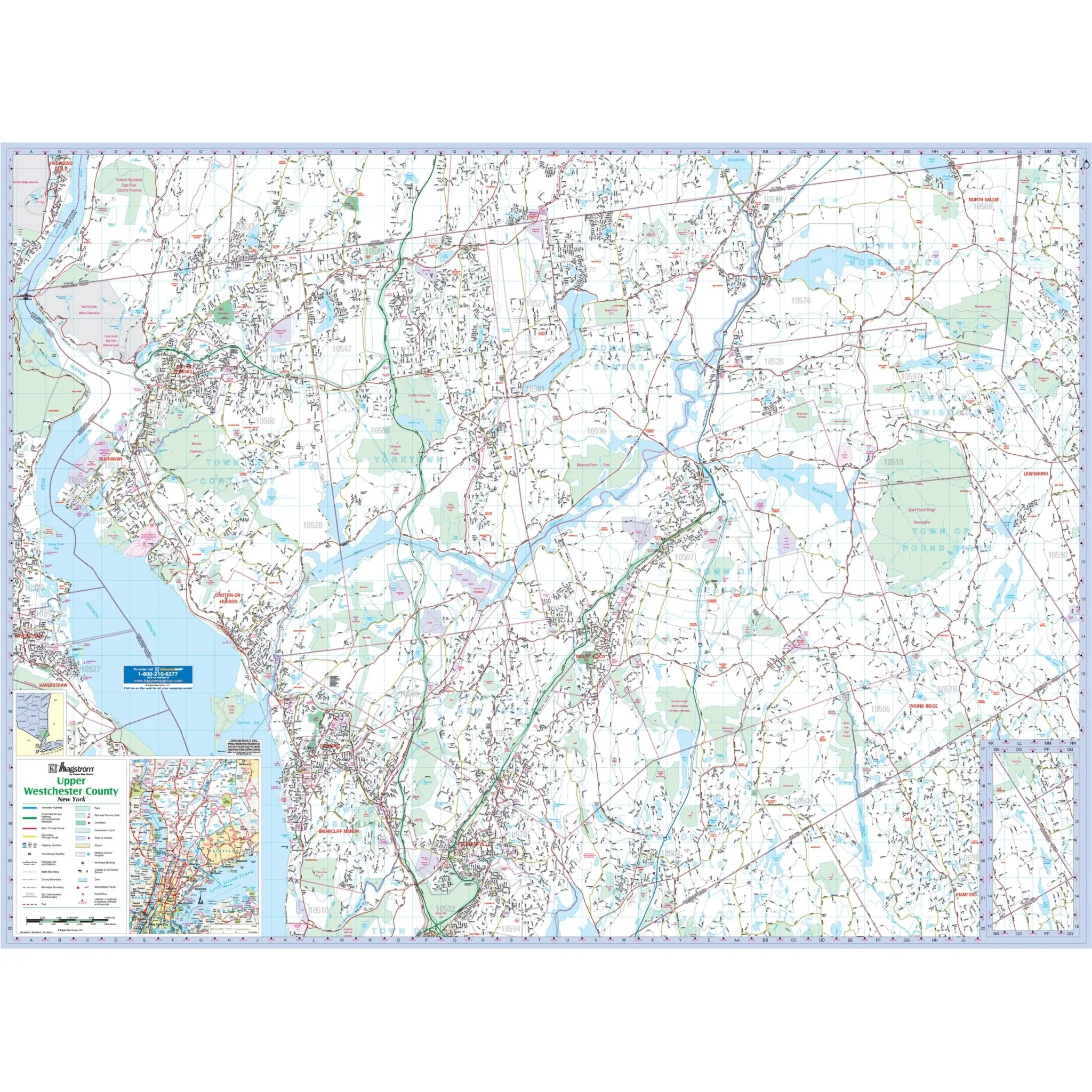
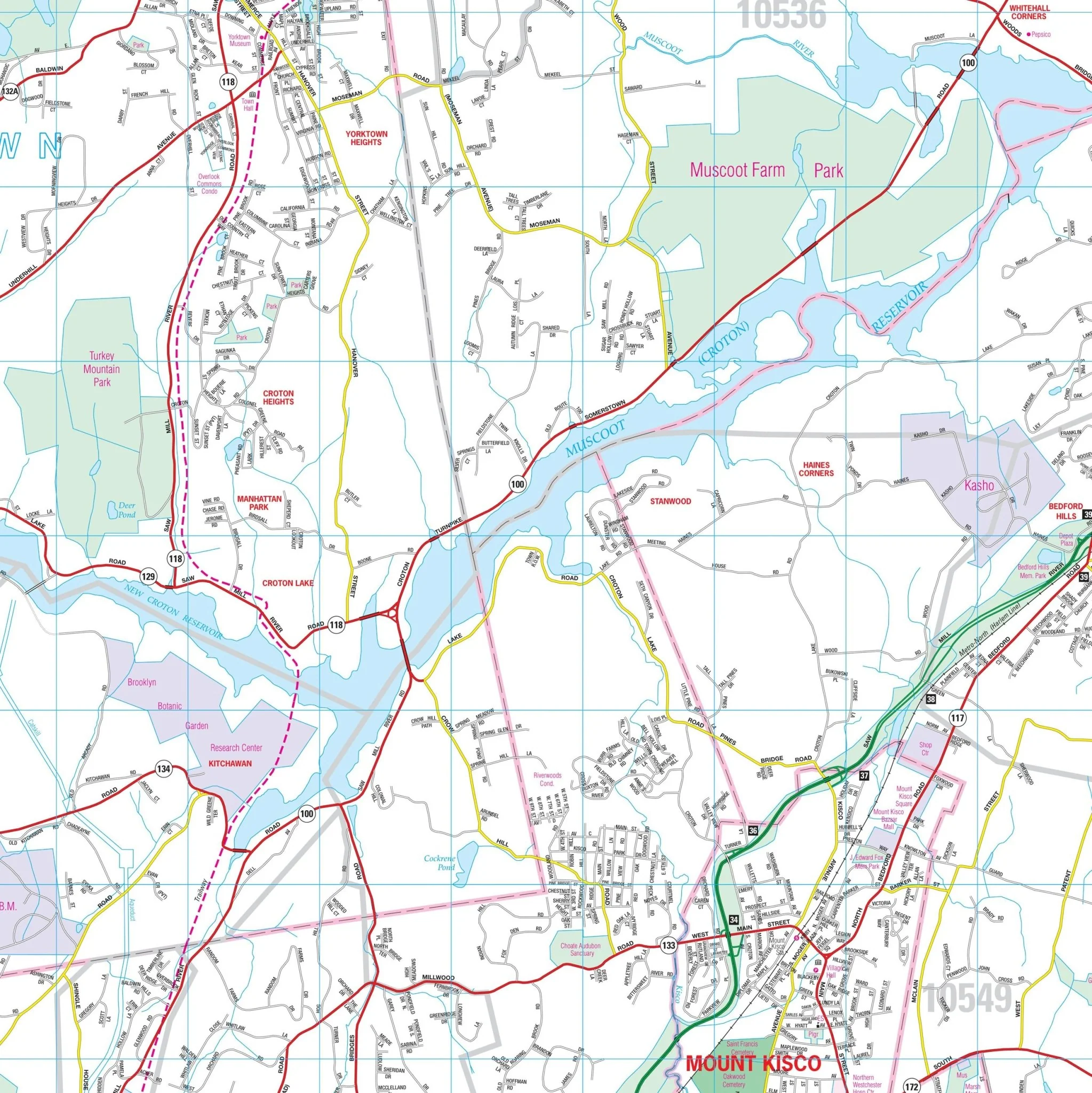
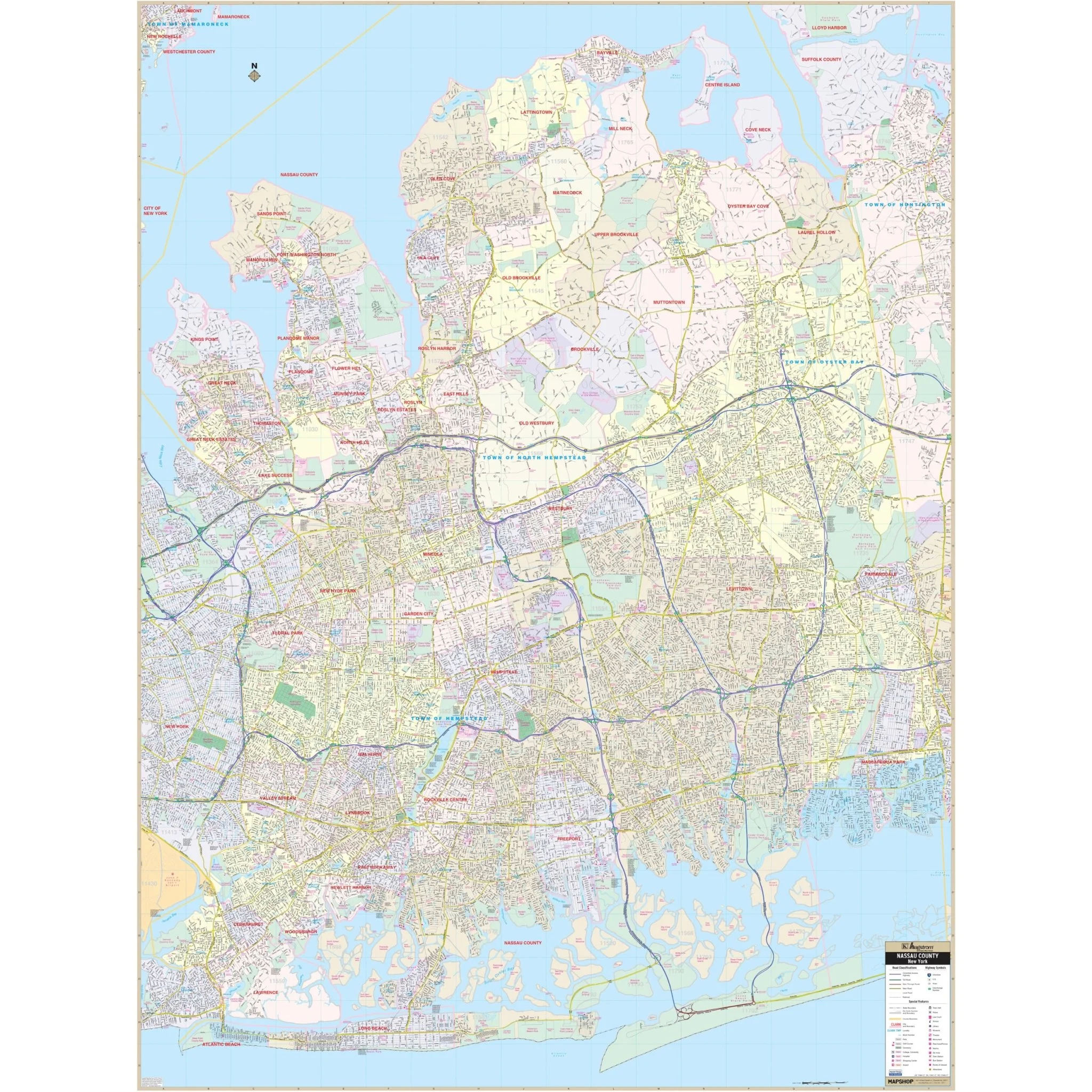
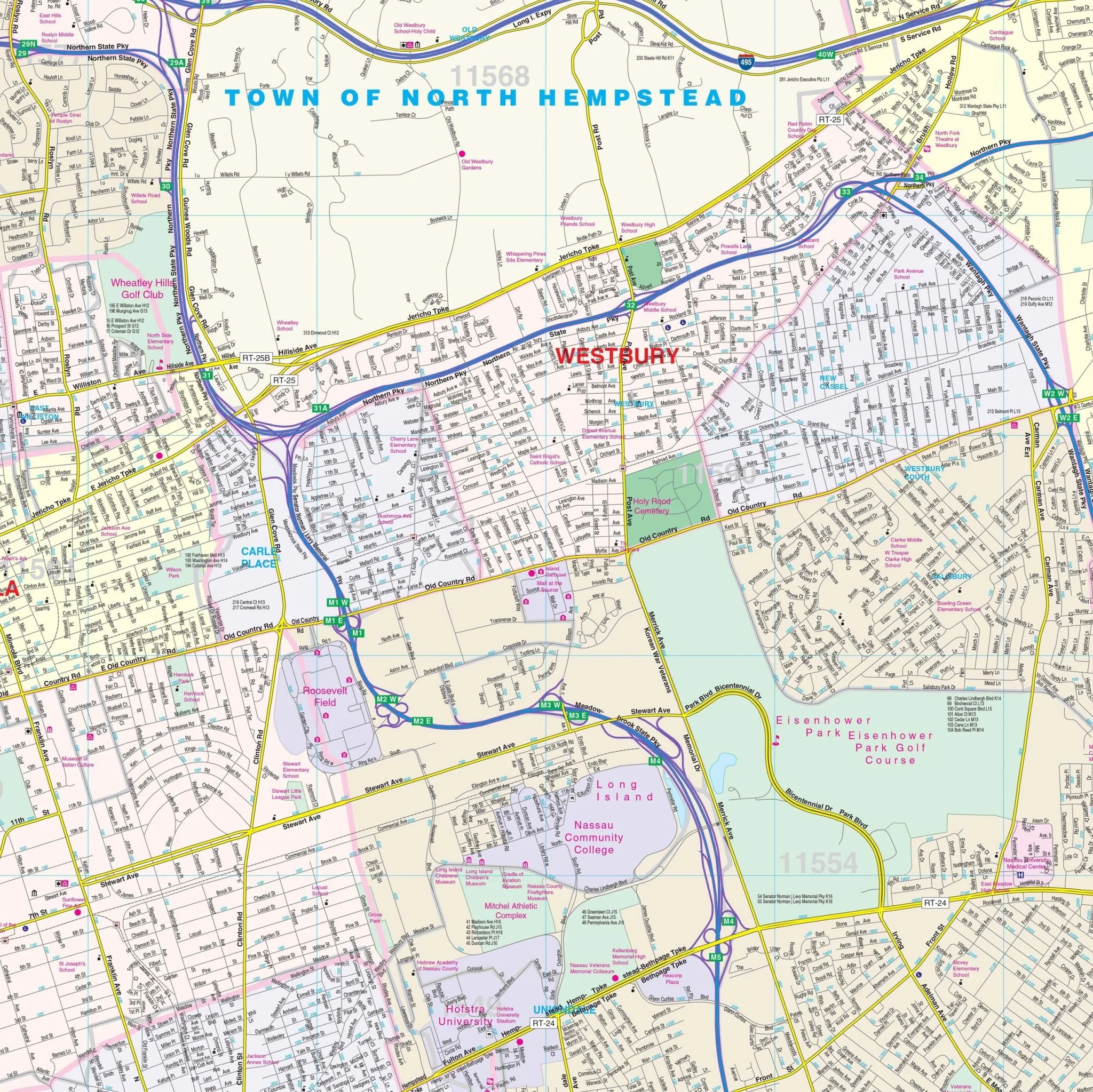
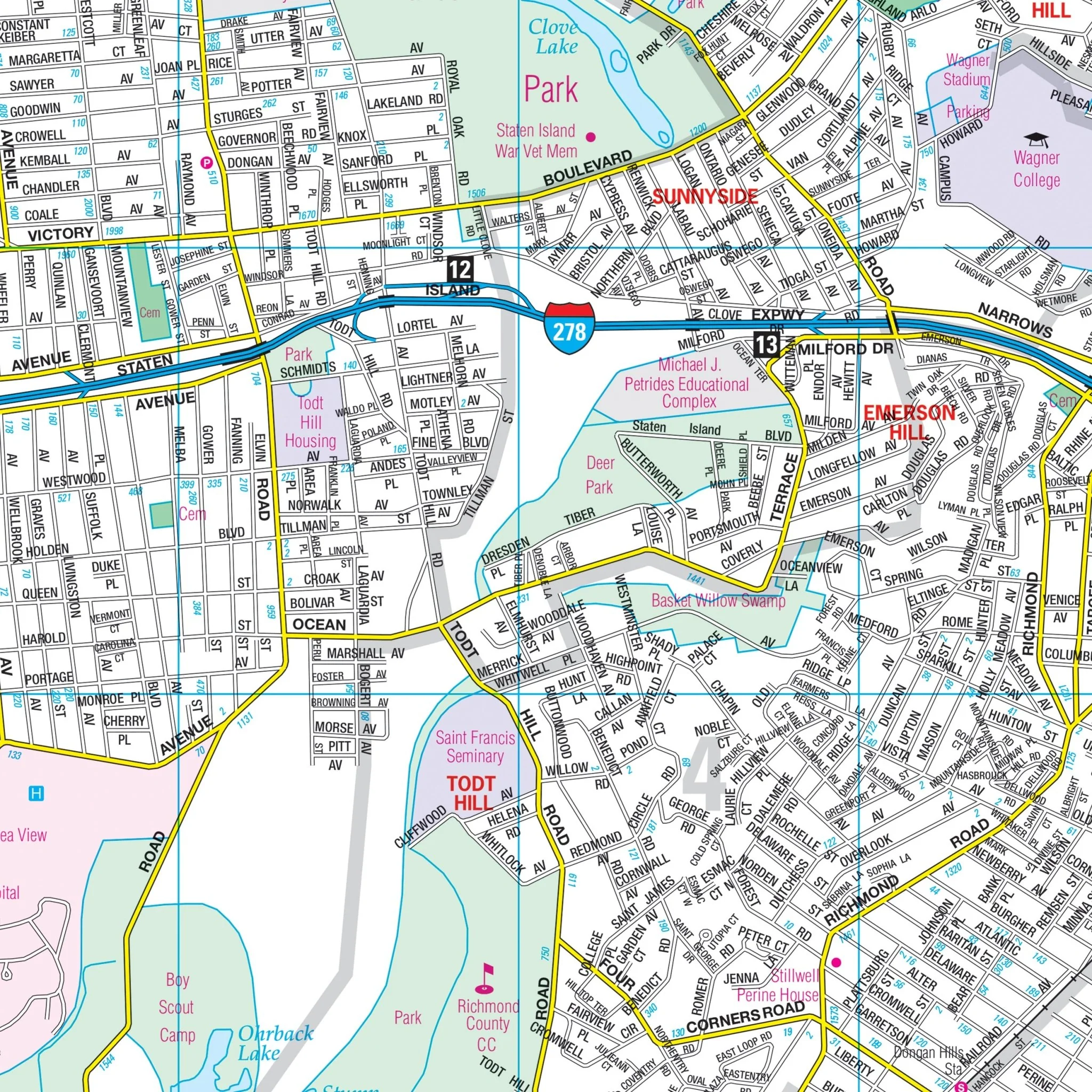
Details featured on the map encompass all streets, state & county highways, interstate highways, airports, schools, parks & golf courses, hospitals, railroad routes, country clubs, cemeteries, longitude & latitude coordinates, block numbers, ZIP codes & boundaries, and other points of interest.
Size: 67" x 69"
Published: 2011
Original: $239.99
-70%$239.99
$72.00Product Information
Product Information
Shipping & Returns
Shipping & Returns
Description
The New York City – 5 Boroughs, NY Wall Map by Hagstrom, available from Kappa Map Group, is a high-quality map with the following areas of coverage:
- The five boroughs of Bronx, New York (Manhattan), Queens, Kings (Brooklyn), and Richmond (Staten Island)
Four insets include:
- NYC Subway System
- Bus Route – Manhattan
- Manhattan Address Finder
- NYC Area Map
East: Huntington Station-Suffolk County; South: Atlantic Ocean; North: White Plains in Westchester County NY; West: All of Essex County NJ and Bloomingdale in Passaic County, NJ.
Details featured on the map encompass all streets, state & county highways, interstate highways, airports, schools, parks & golf courses, hospitals, railroad routes, country clubs, cemeteries, longitude & latitude coordinates, block numbers, ZIP codes & boundaries, and other points of interest.
Size: 67" x 69"
Published: 2011