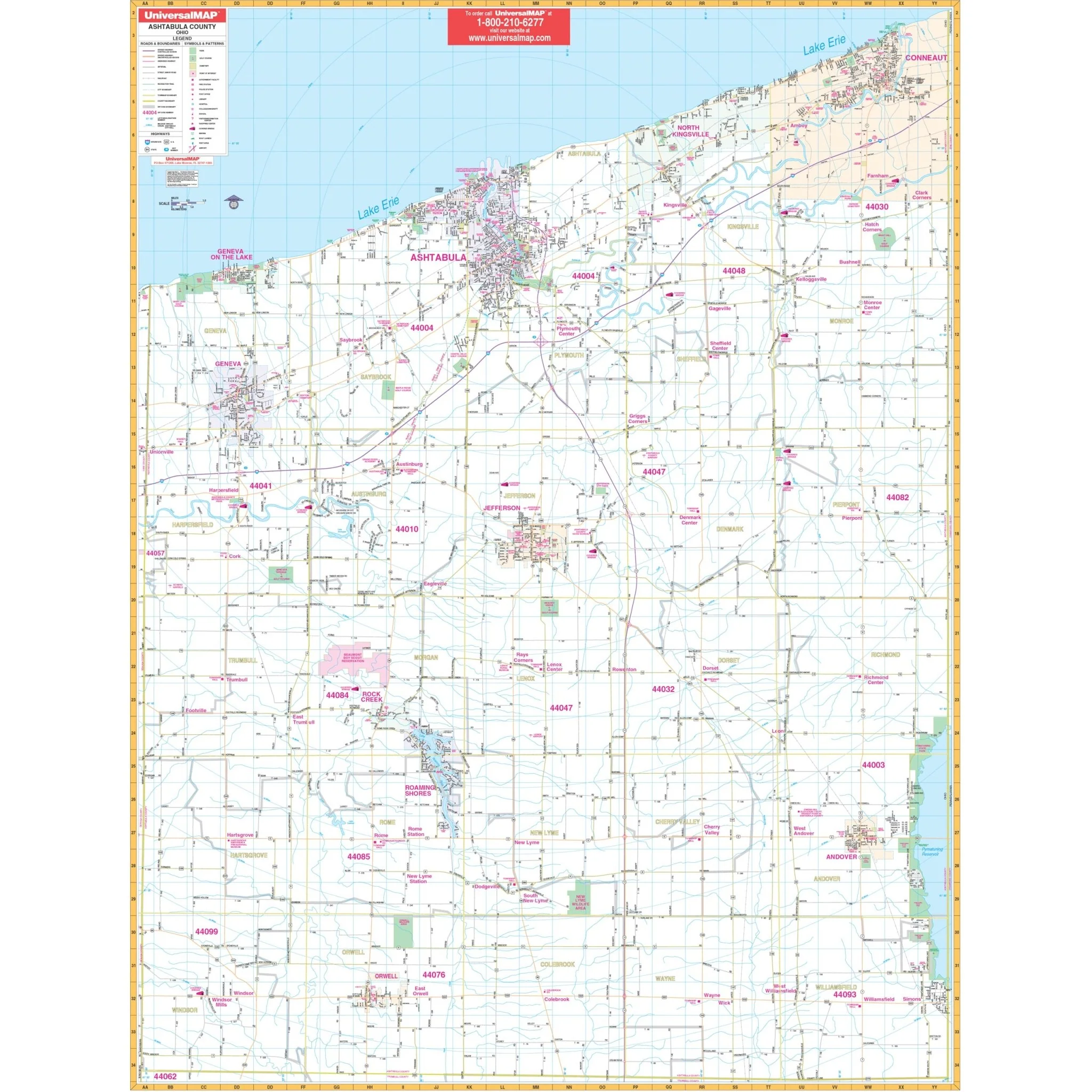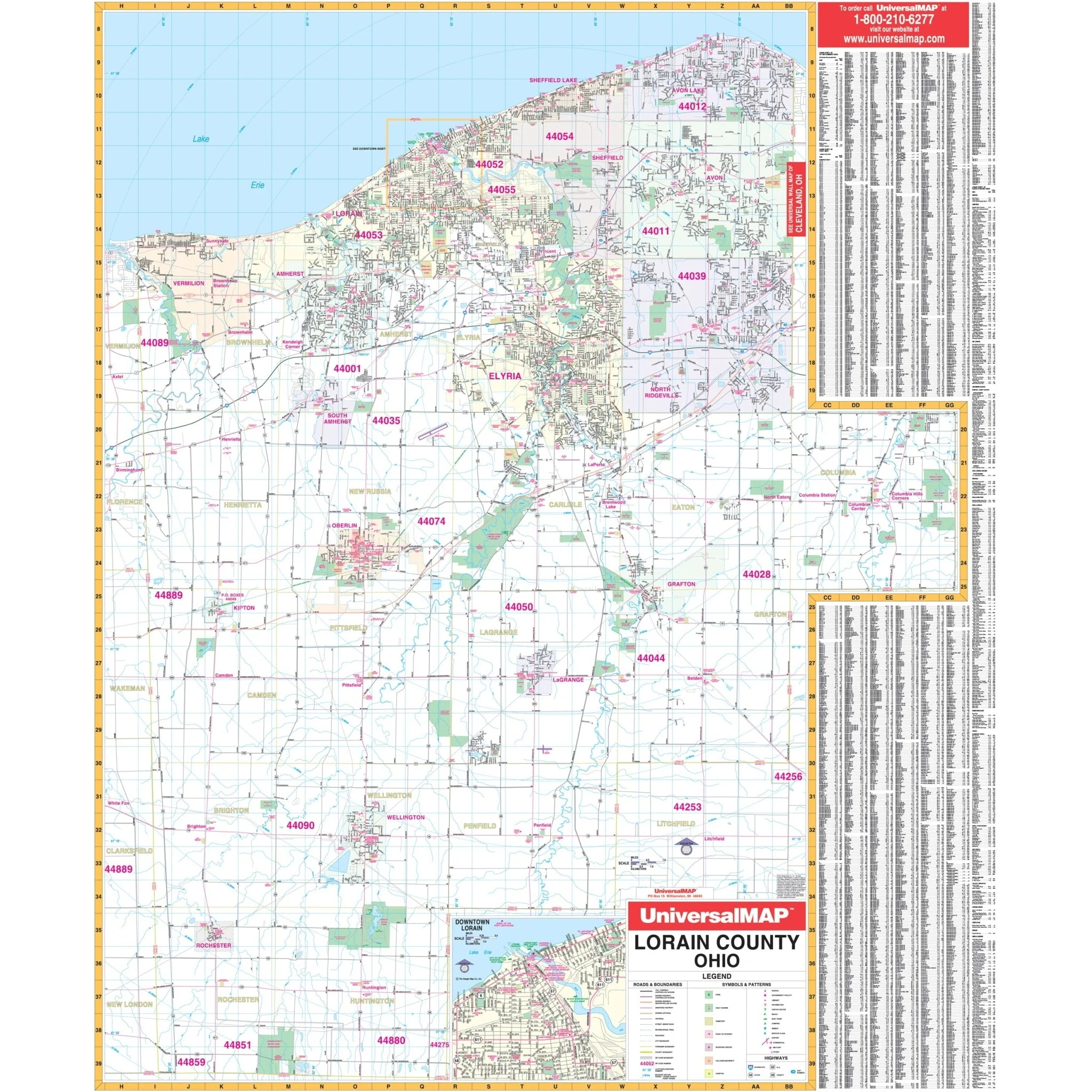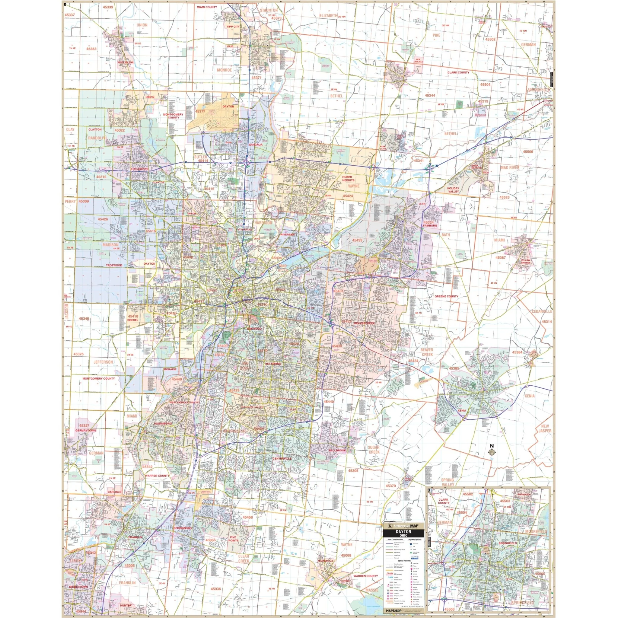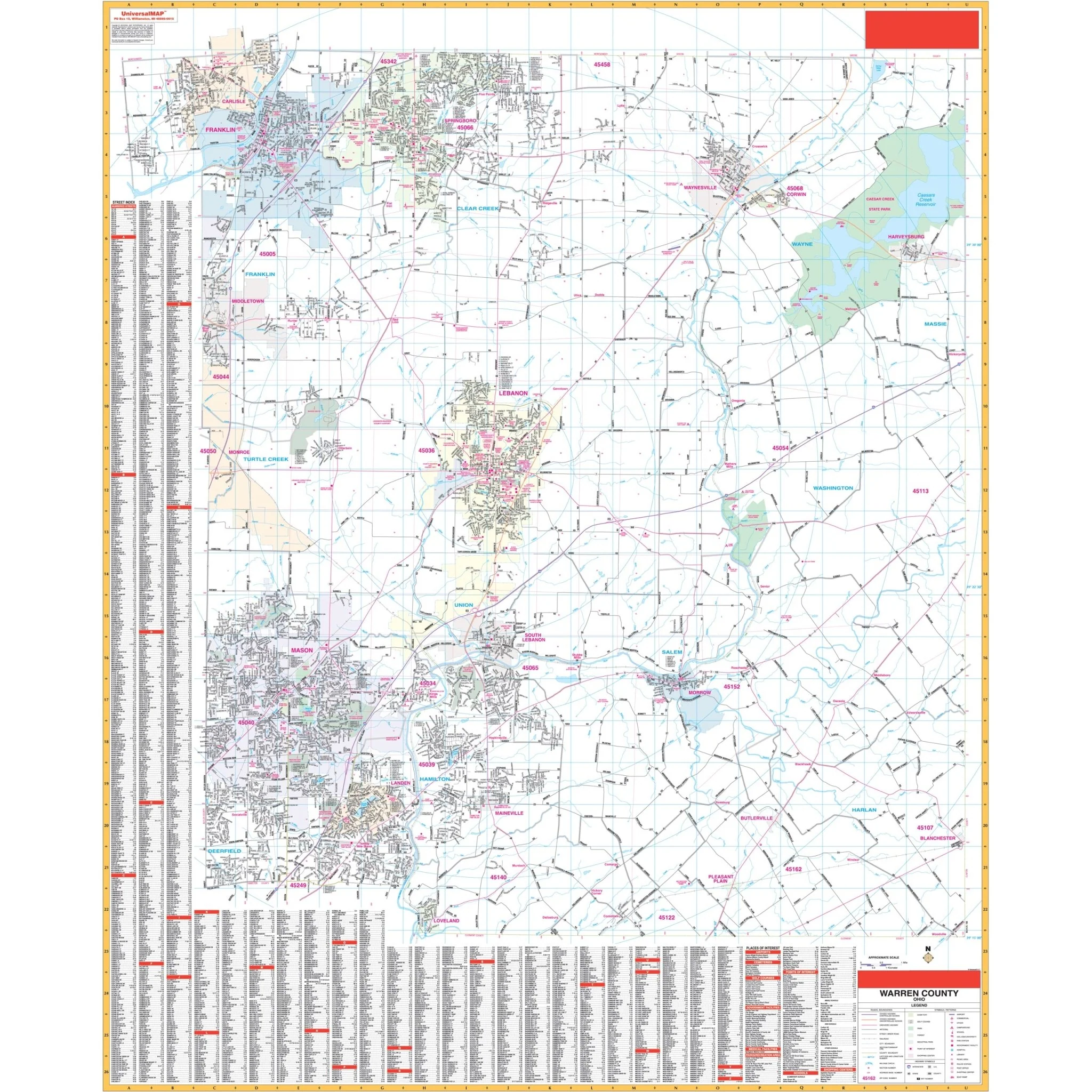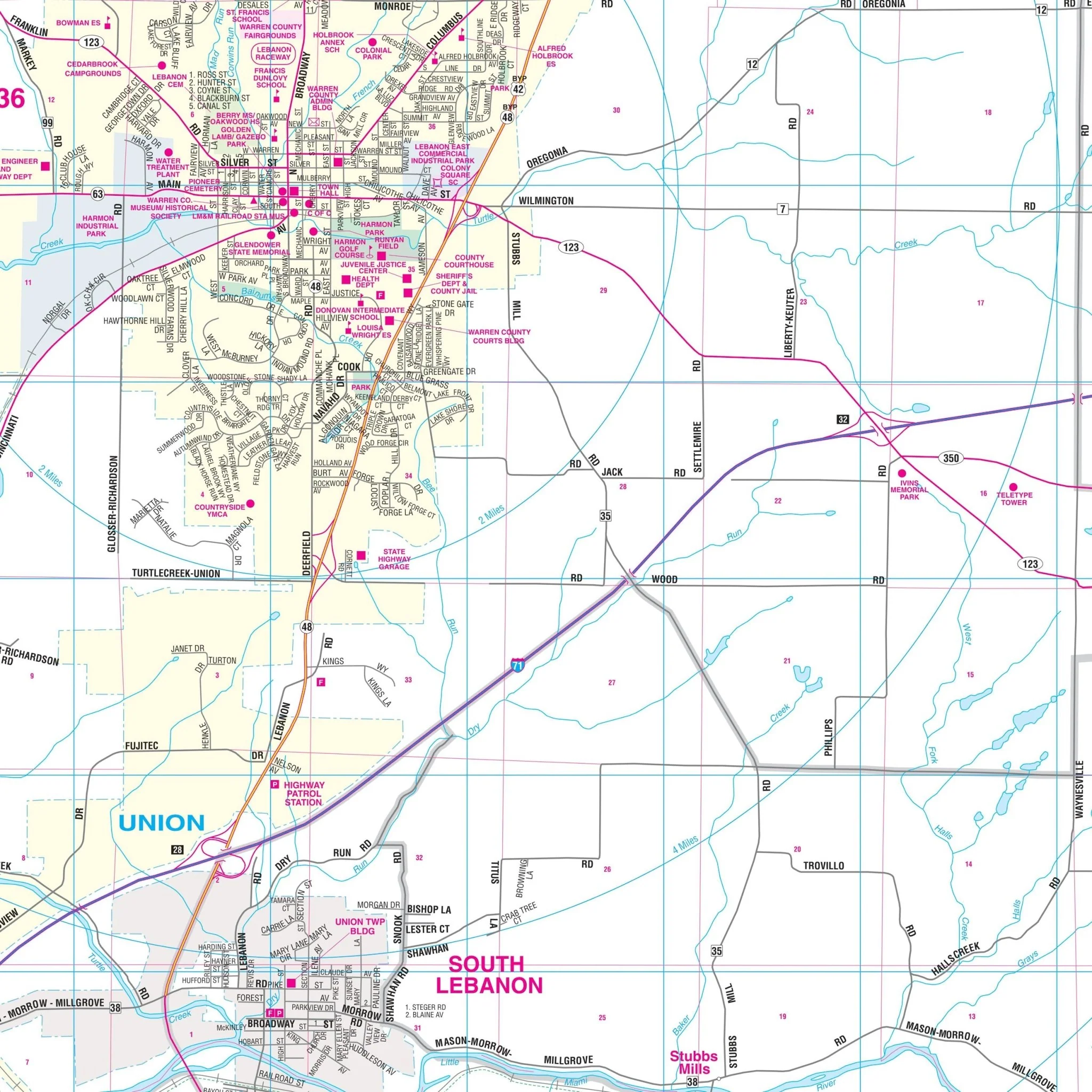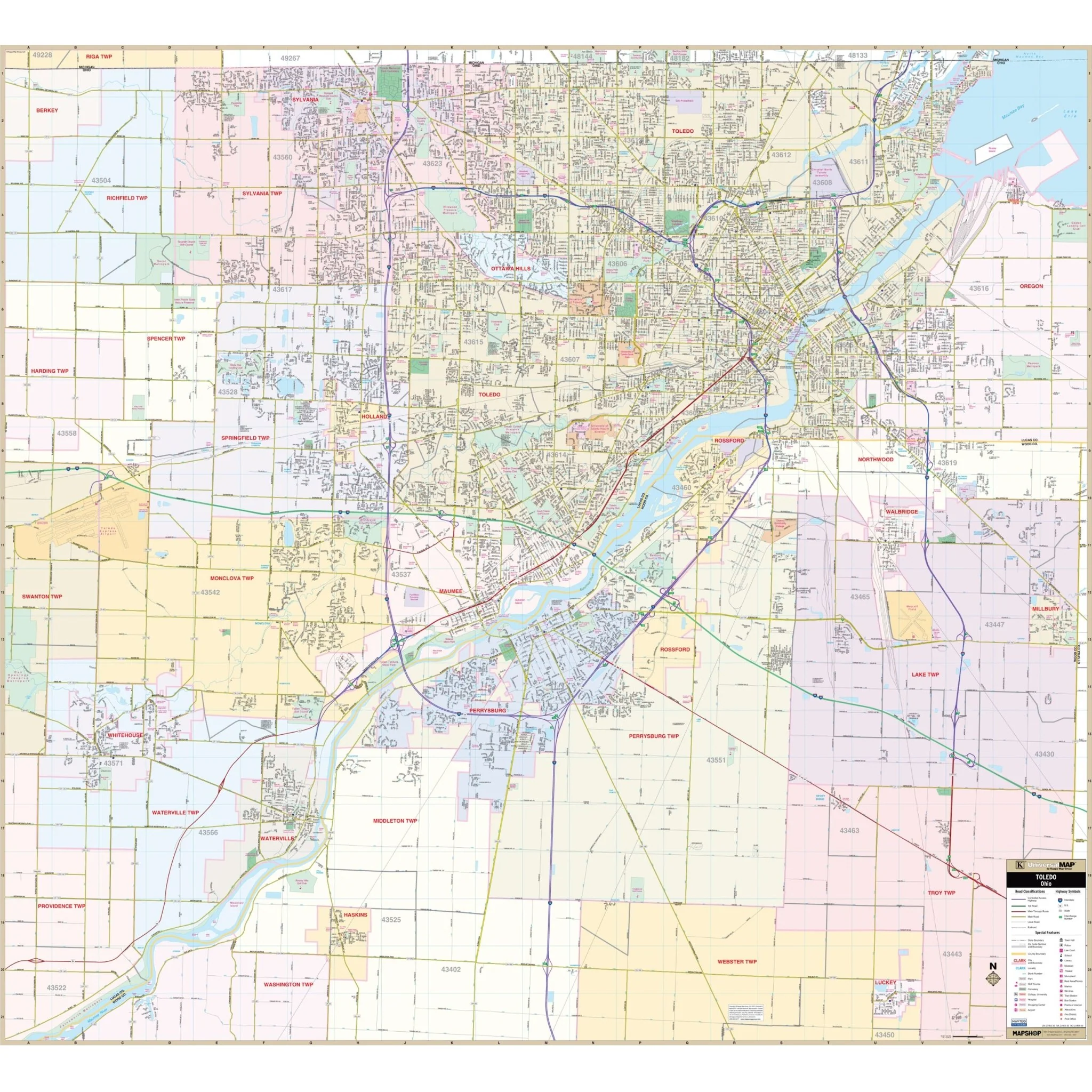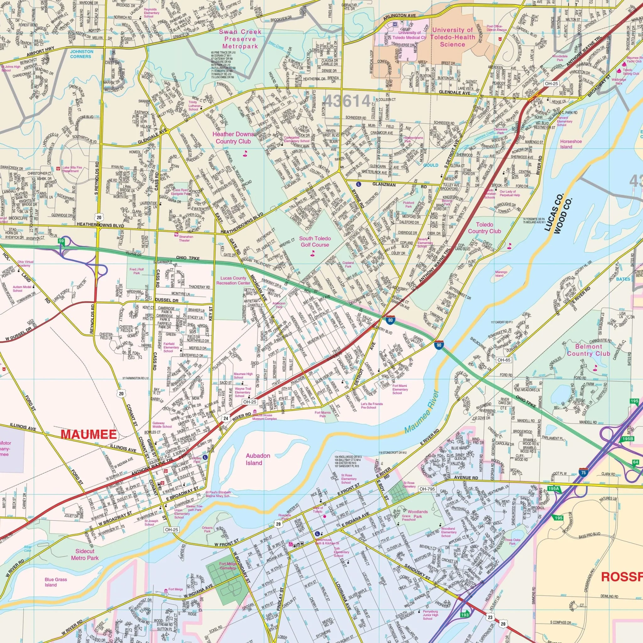


Ohio Shaded Relief State Wall Map
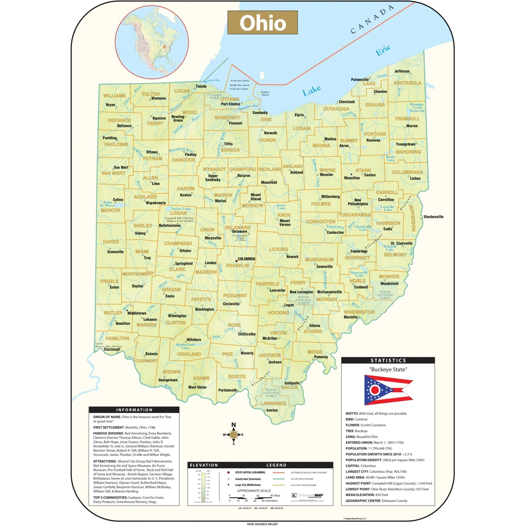
The Ohio Shaded Relief Wall Map by Kappa Map Group comes in three sizes. It includes:
- Historical, anecdotal, and geographical information
- An elevation scale measured in meters and feet
- A distance scale measured in miles and kilometers
- Identification of county boundaries
- State flag, motto, bird, flower, and tree
- Total area, population, and origin of name
Sizes: 54" x 73" | 42" x 57" | 28" x 38"
Published: 2016
Select Map Size
Select Map Finish
From $27.00
Original: $89.99
-70%Ohio Shaded Relief State Wall Map—
$89.99
$27.00Product Information
Product Information
Shipping & Returns
Shipping & Returns
Description
The Ohio Shaded Relief Wall Map by Kappa Map Group comes in three sizes. It includes:
- Historical, anecdotal, and geographical information
- An elevation scale measured in meters and feet
- A distance scale measured in miles and kilometers
- Identification of county boundaries
- State flag, motto, bird, flower, and tree
- Total area, population, and origin of name
Sizes: 54" x 73" | 42" x 57" | 28" x 38"
Published: 2016