


Eastern United States Regional Wall Map
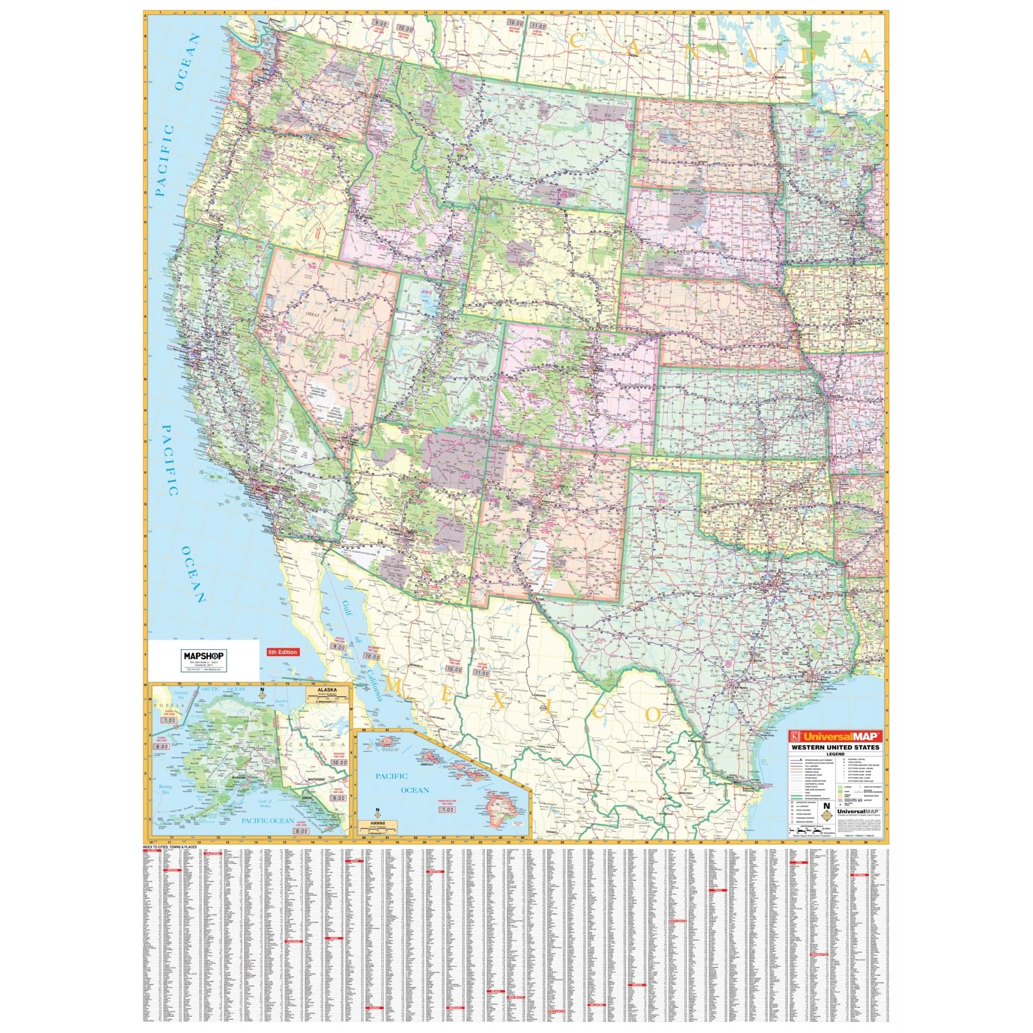
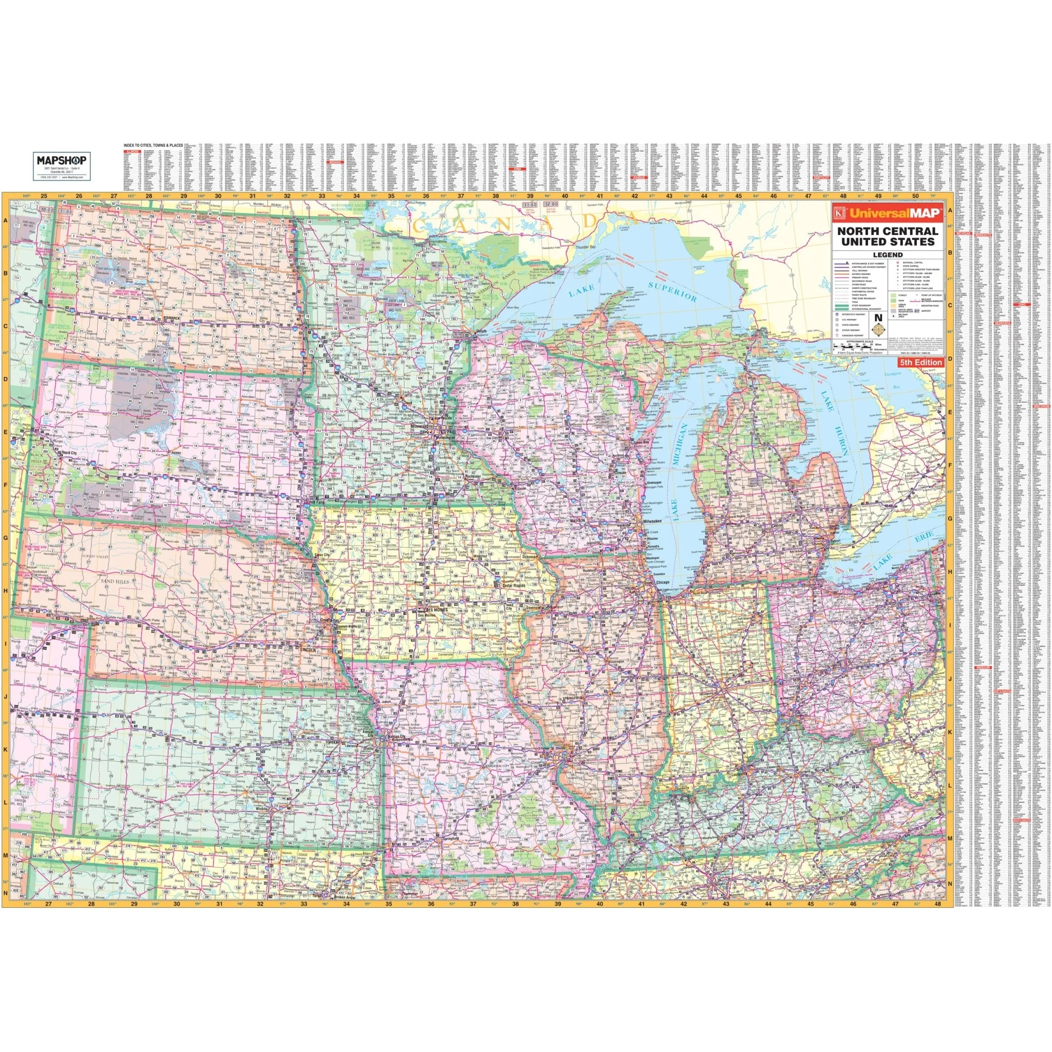
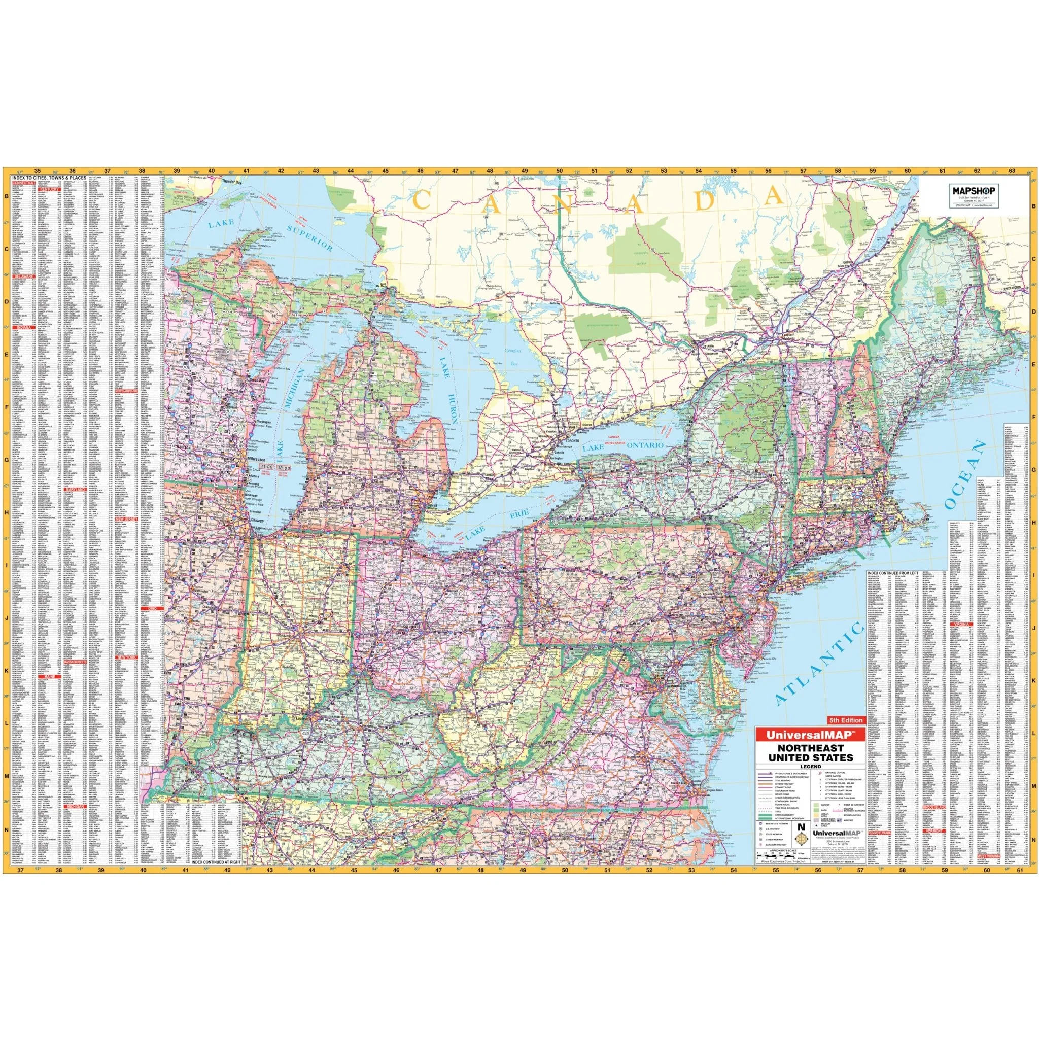
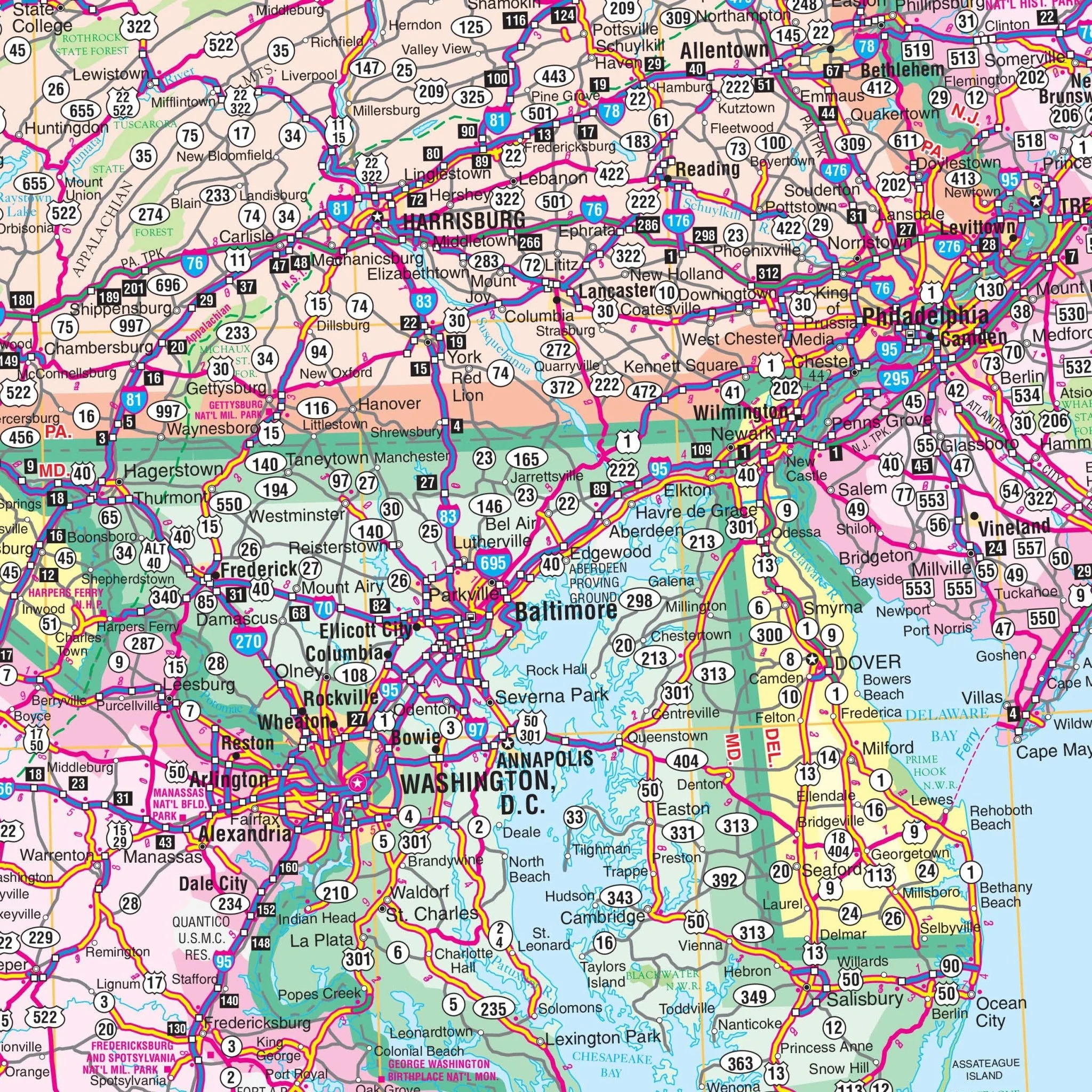
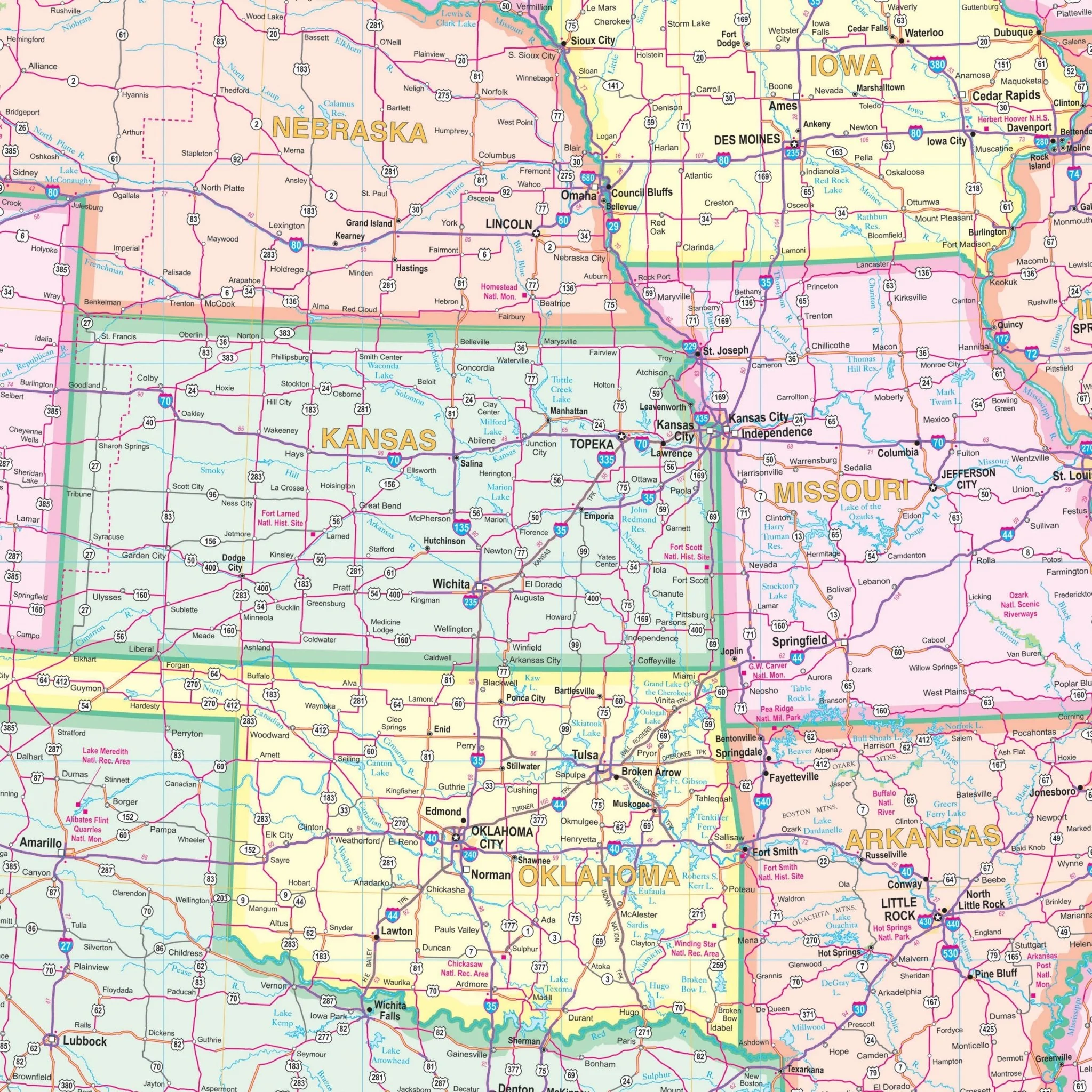
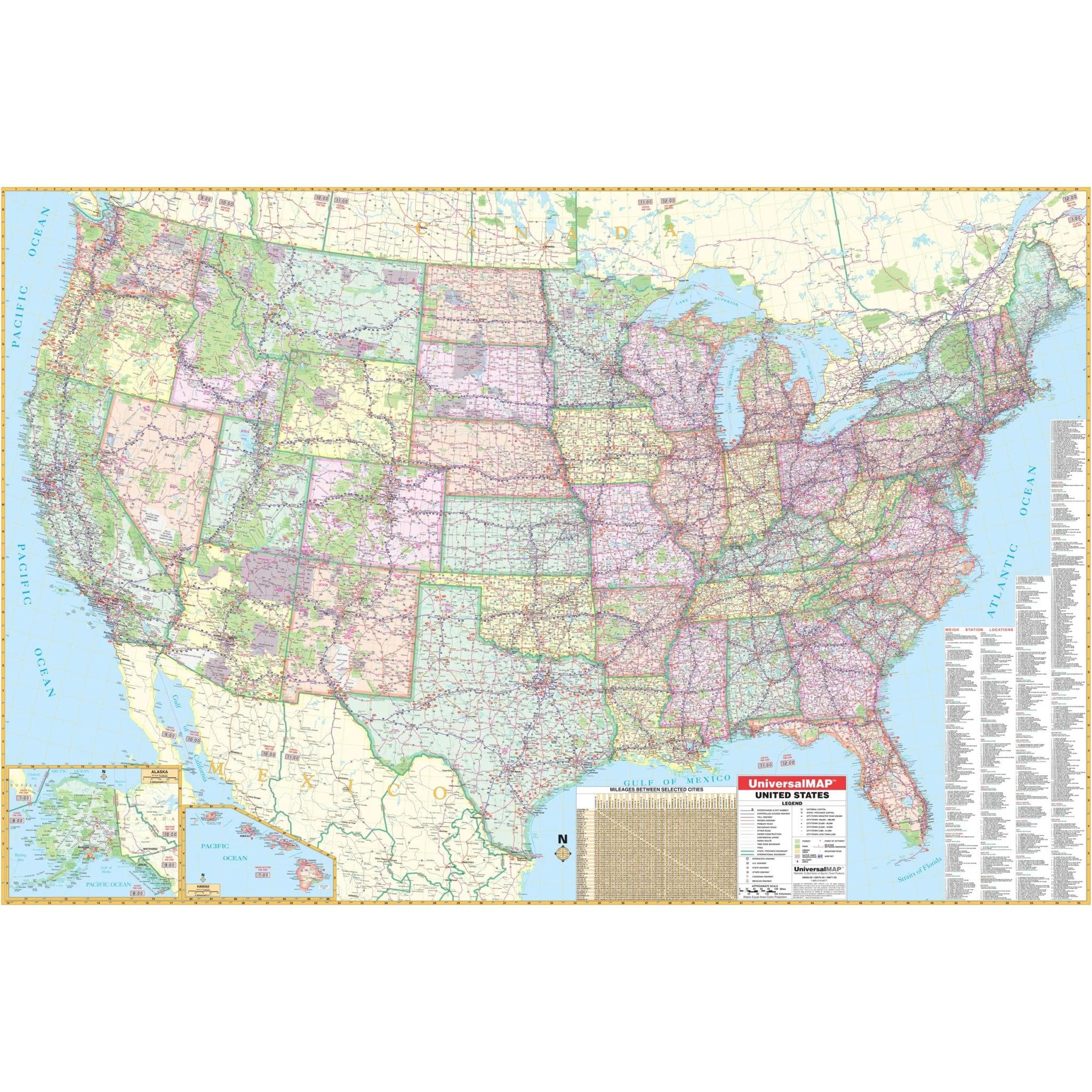
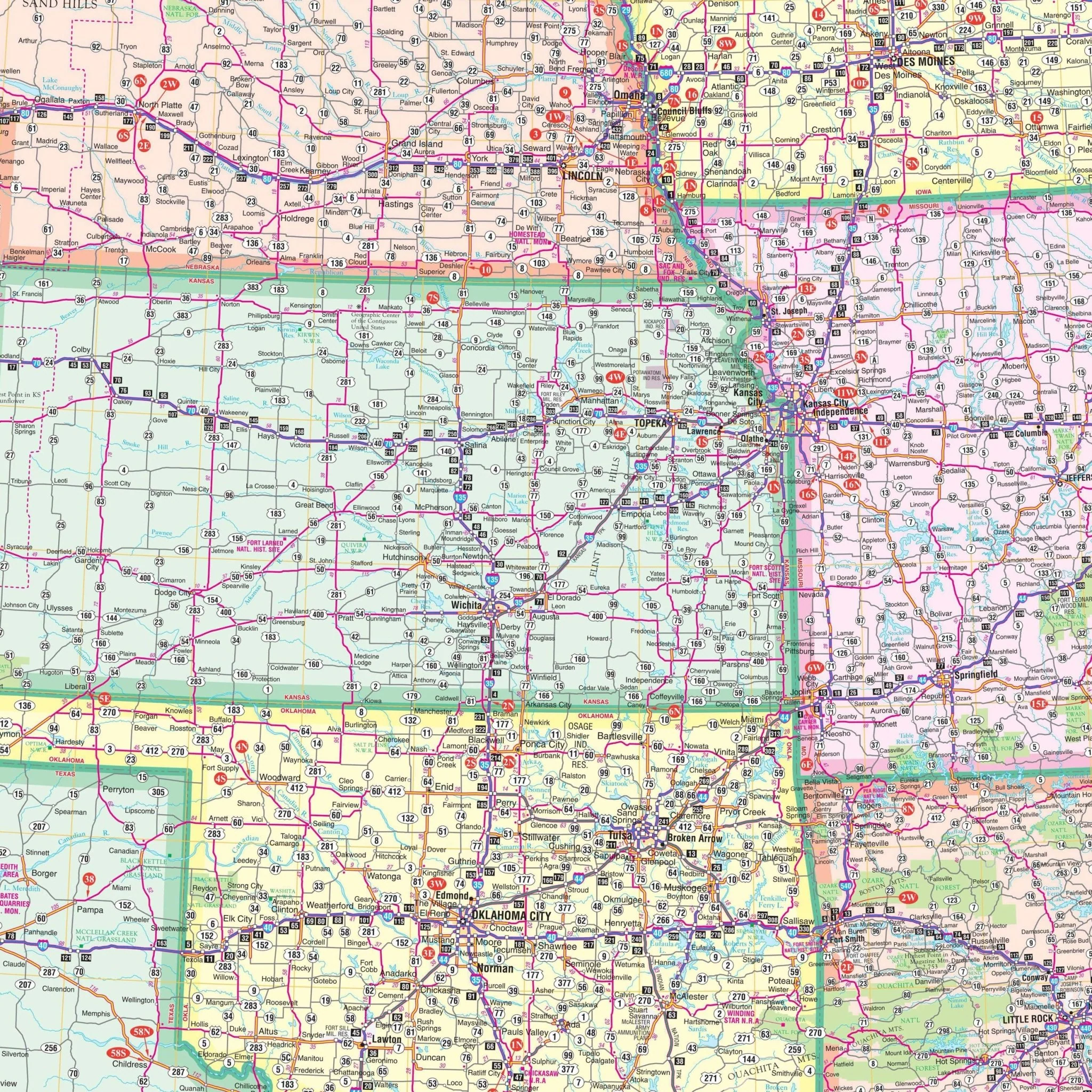
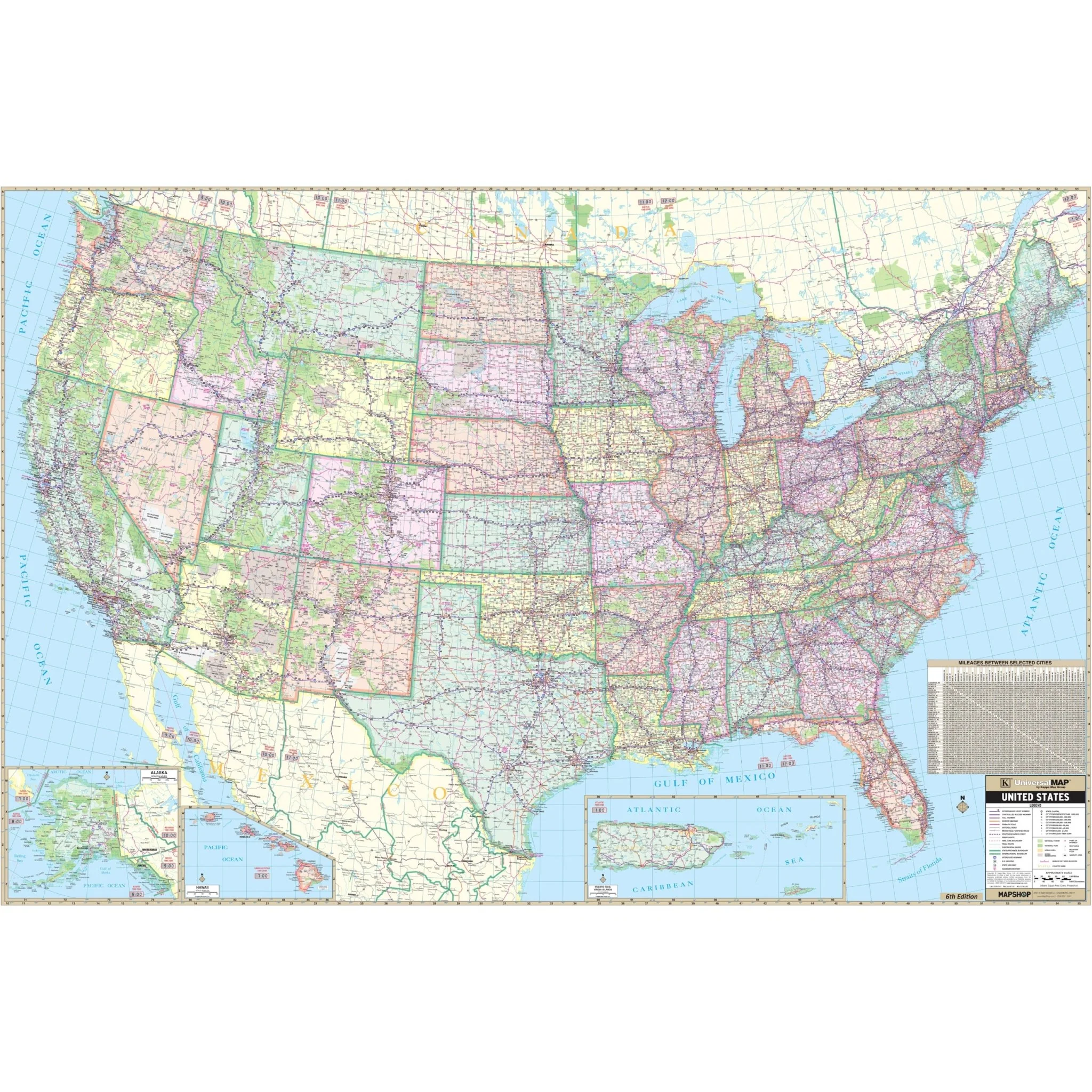
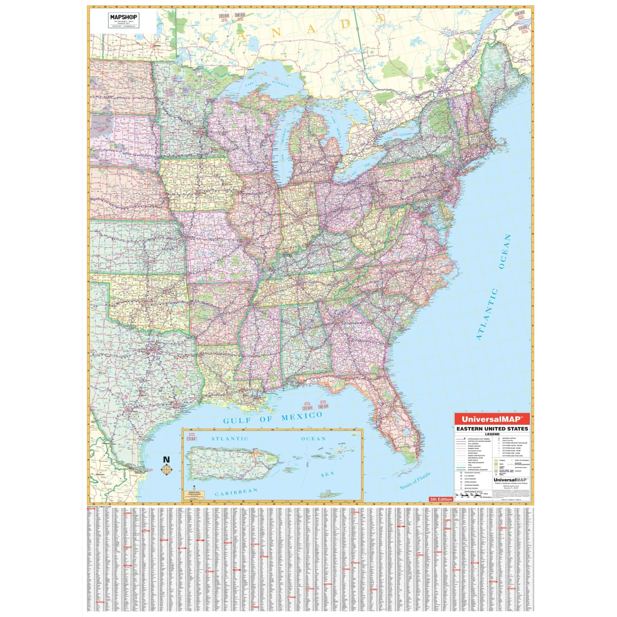
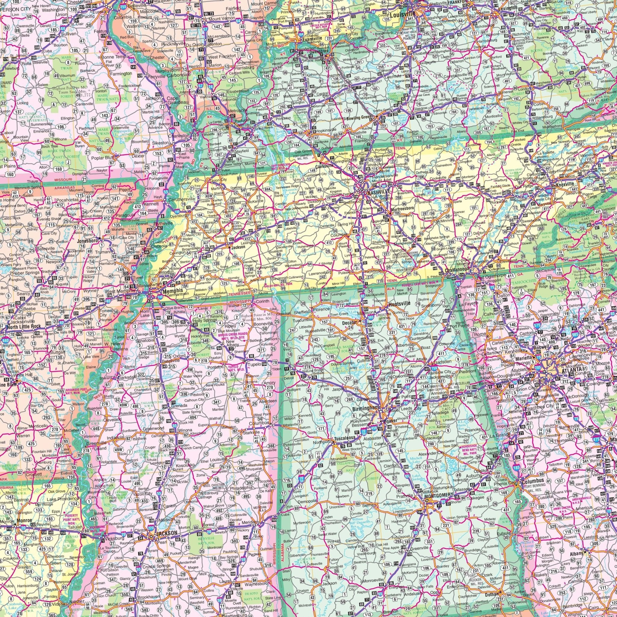
The Eastern United States Regional Wall Map by Kappa Map Group encompasses a vast area from the Mississippi River to the Atlantic Ocean, detailing the extensive road systems of the eastern half of the United States. It includes state boundaries, highway systems, and major waterways such as the Great Lakes and the Gulf of Mexico. A large index on the lower part of the map provides a comprehensive listing of cities and towns, with associated grid coordinates for easy location identification. An inset of Puerto Rico and the US Virgin Islands is also included. This map serves as a functional guide for educational use, travel planning, and for businesses that require a broad geographic understanding of the eastern United States.
- Alabama
- Arkansas
- Connecticut
- Delaware
- Florida
- Georgia
- Illinois
- Indiana
- Iowa
- Kentucky
- Louisiana
- Maine
- Maryland
- Massachusetts
- Michigan
- Minnesota
- Mississippi
- Missouri
- New Hampshire
- New Jersey
- New York
- Ohio
- Pennsylvania
- Rhode Island
- North Carolina
- South Carolina
- Tennessee
- Vermont
- Virginia
- West Virginia
- Wisconsin
There is 80% coverage of the following states:
- Kansas
- Nebraska
- North Dakota
- Oklahoma
- South Dakota
- Texas
Boundaries are as follows:
- North: Winnipeg, Manitoba, to New Brunswick in Canada
- South: to the Gulf of Mexico
- East: to the Atlantic Ocean and western New Brunswick
- West: Western ND to western Texas, including the city of Abilene
Size: 49" x 66"
Published: 2009
Original: $139.99
-70%$139.99
$42.00Product Information
Product Information
Shipping & Returns
Shipping & Returns
Description
The Eastern United States Regional Wall Map by Kappa Map Group encompasses a vast area from the Mississippi River to the Atlantic Ocean, detailing the extensive road systems of the eastern half of the United States. It includes state boundaries, highway systems, and major waterways such as the Great Lakes and the Gulf of Mexico. A large index on the lower part of the map provides a comprehensive listing of cities and towns, with associated grid coordinates for easy location identification. An inset of Puerto Rico and the US Virgin Islands is also included. This map serves as a functional guide for educational use, travel planning, and for businesses that require a broad geographic understanding of the eastern United States.
- Alabama
- Arkansas
- Connecticut
- Delaware
- Florida
- Georgia
- Illinois
- Indiana
- Iowa
- Kentucky
- Louisiana
- Maine
- Maryland
- Massachusetts
- Michigan
- Minnesota
- Mississippi
- Missouri
- New Hampshire
- New Jersey
- New York
- Ohio
- Pennsylvania
- Rhode Island
- North Carolina
- South Carolina
- Tennessee
- Vermont
- Virginia
- West Virginia
- Wisconsin
There is 80% coverage of the following states:
- Kansas
- Nebraska
- North Dakota
- Oklahoma
- South Dakota
- Texas
Boundaries are as follows:
- North: Winnipeg, Manitoba, to New Brunswick in Canada
- South: to the Gulf of Mexico
- East: to the Atlantic Ocean and western New Brunswick
- West: Western ND to western Texas, including the city of Abilene
Size: 49" x 66"
Published: 2009