


North Central United States Regional Wall Map
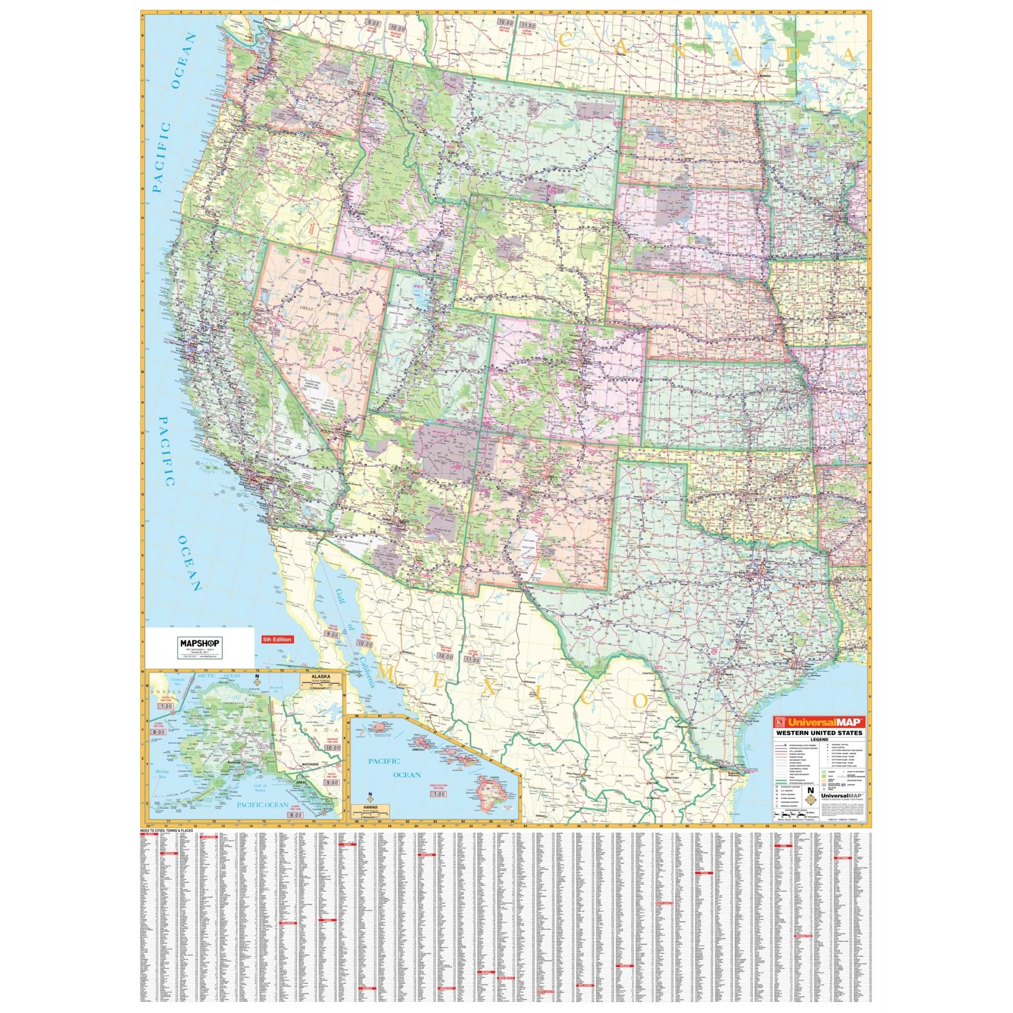
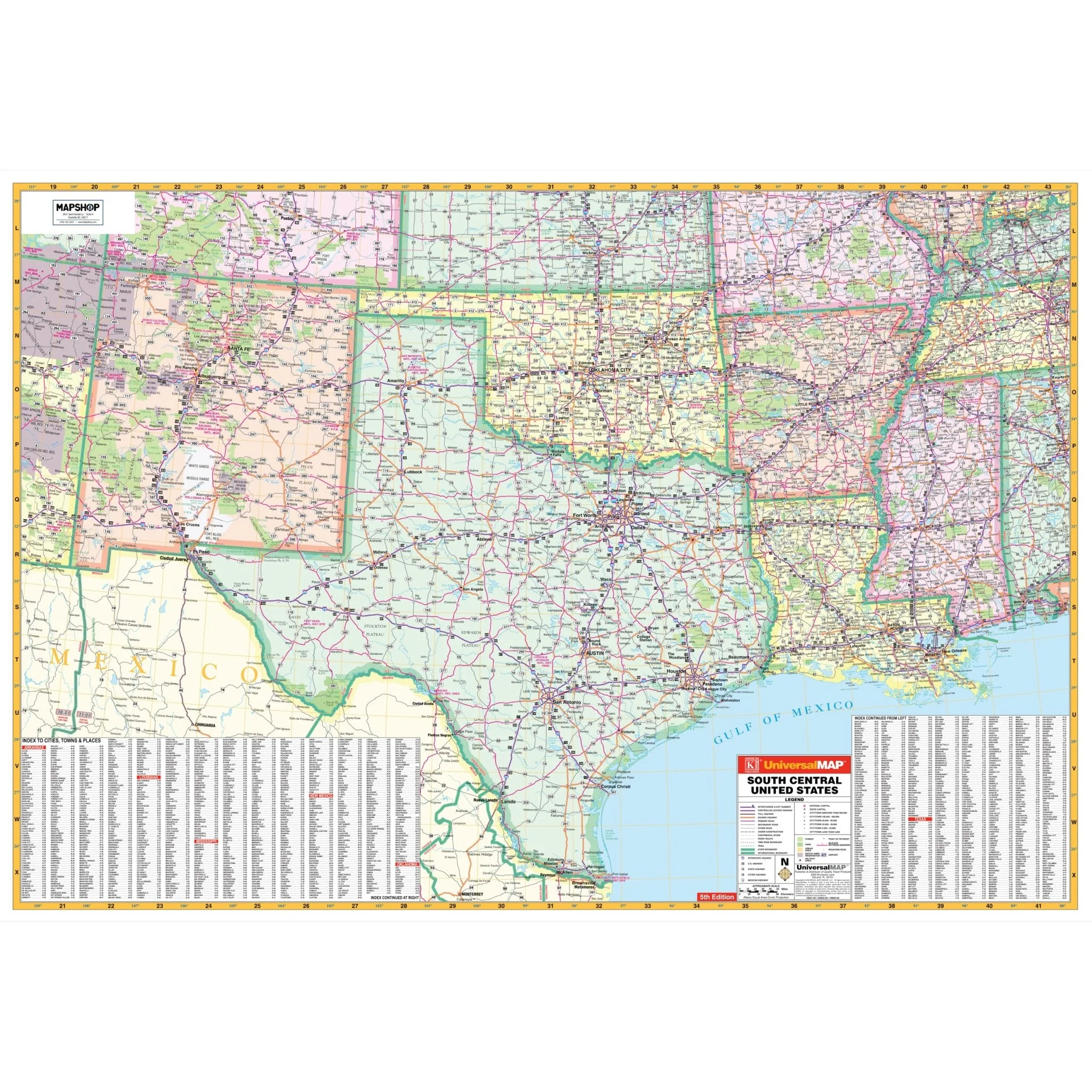
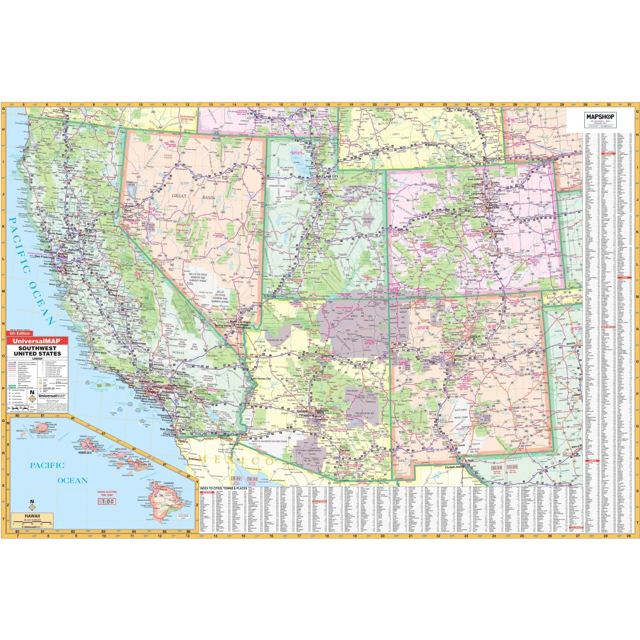
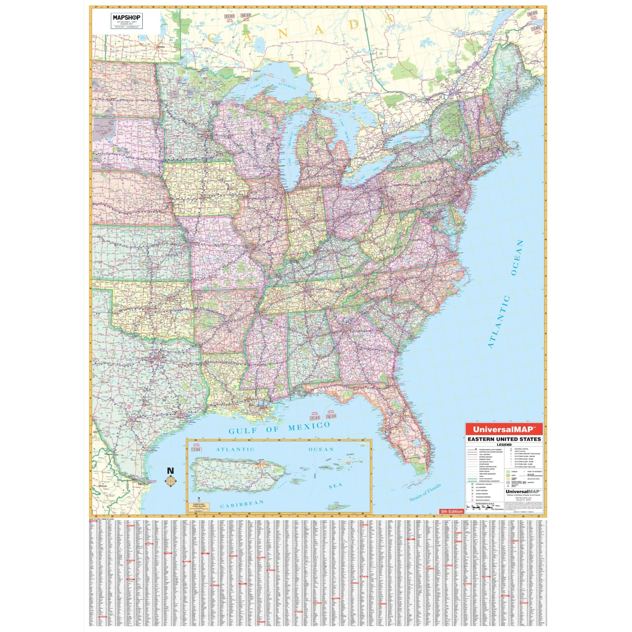
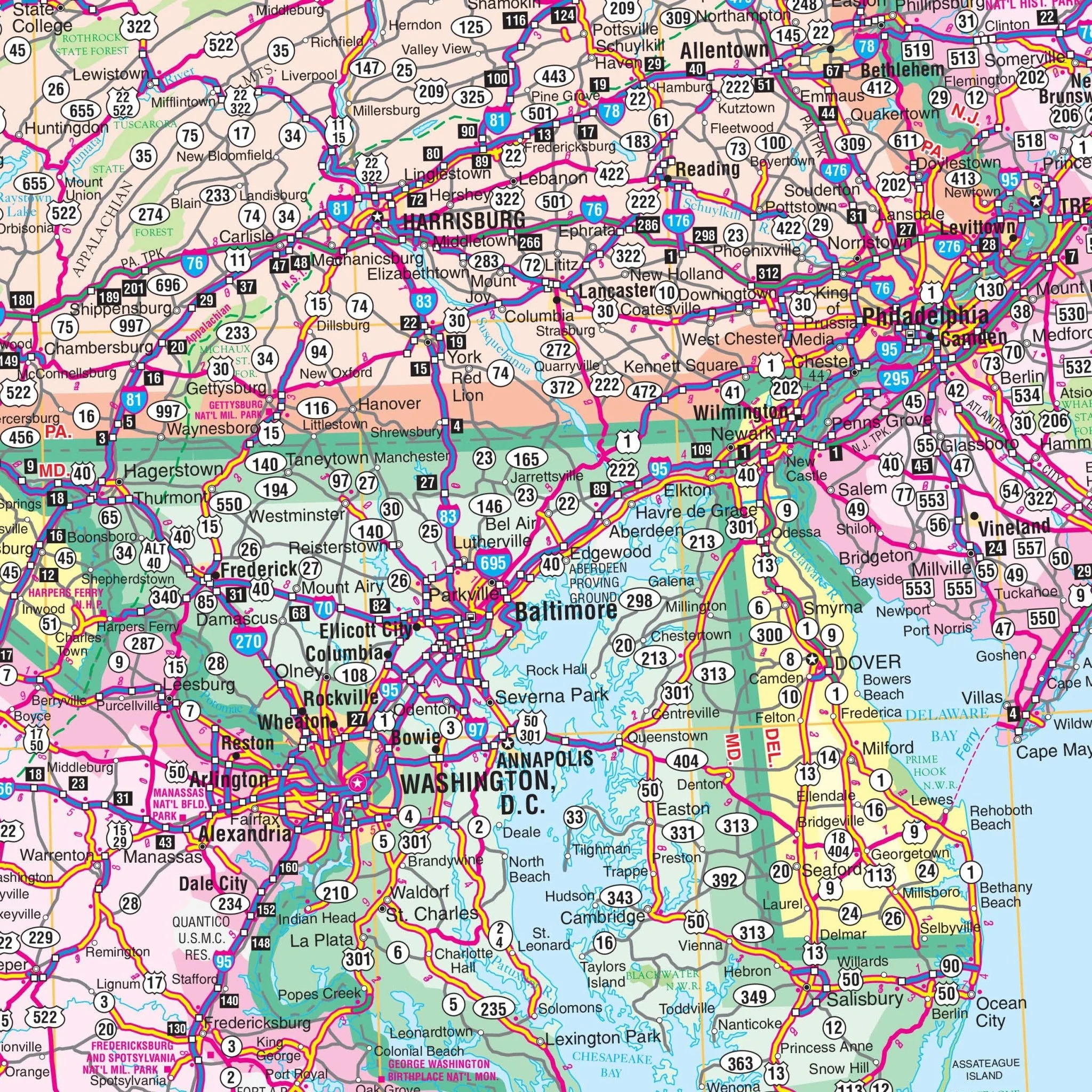
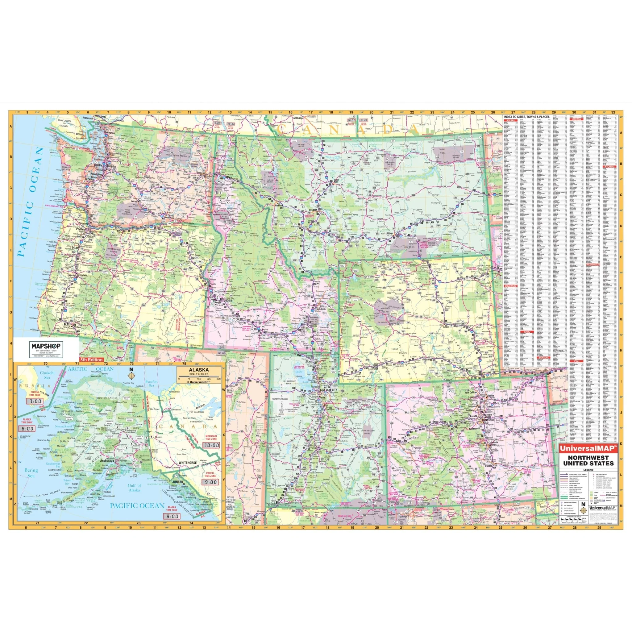
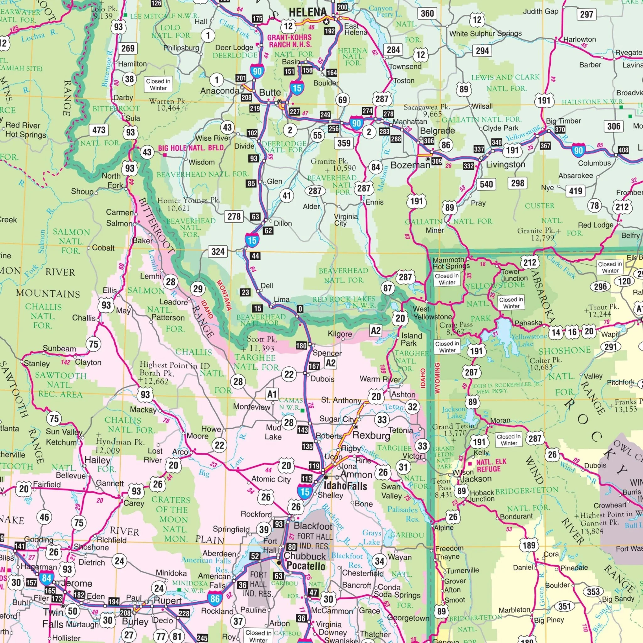
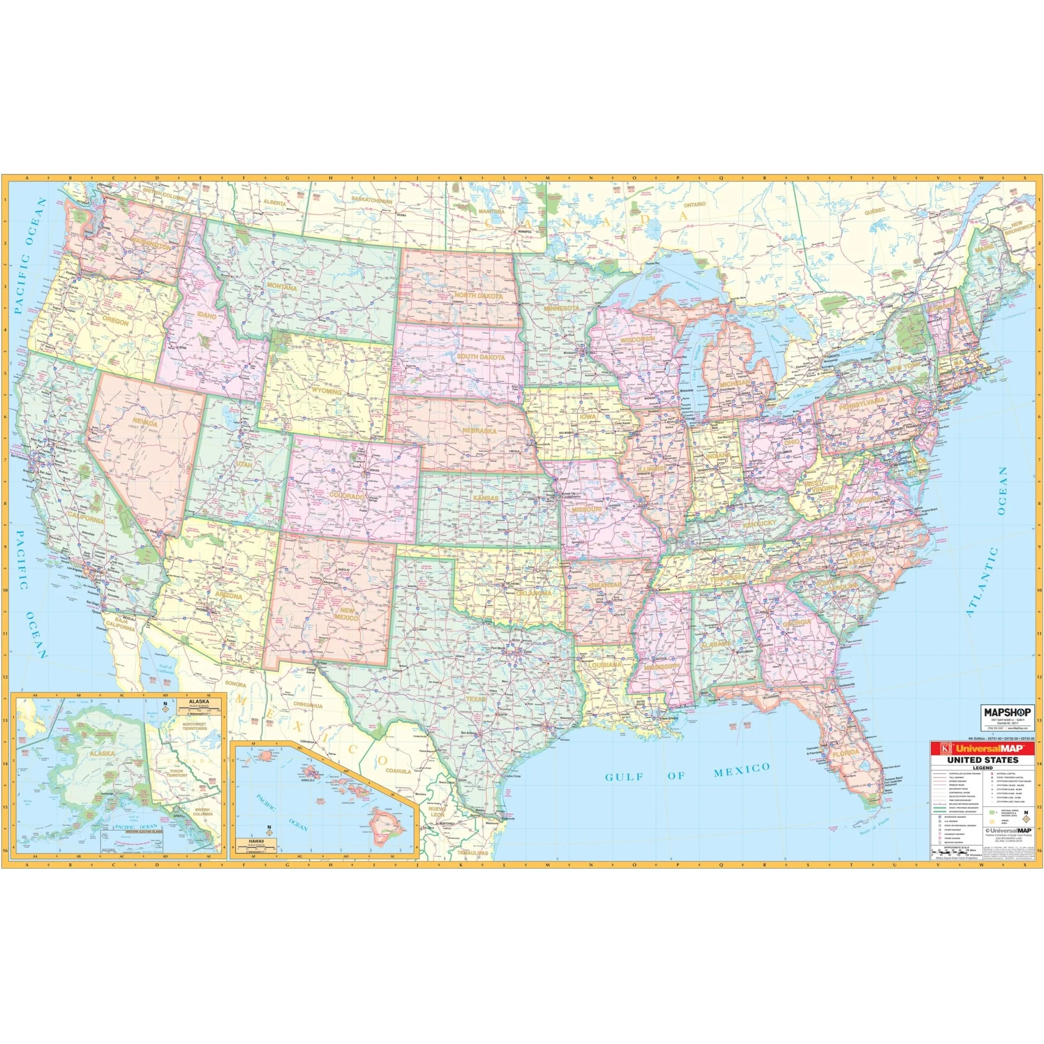
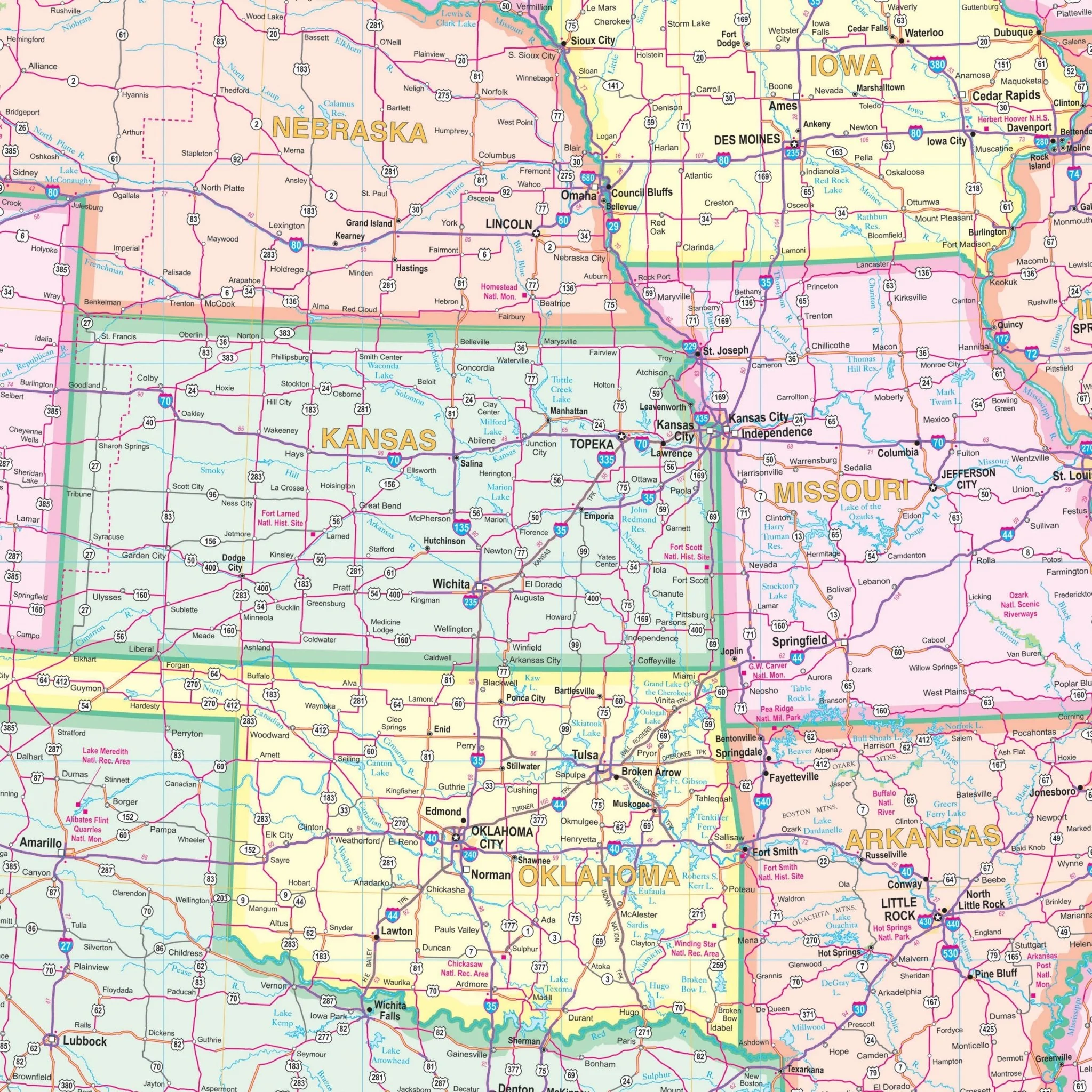
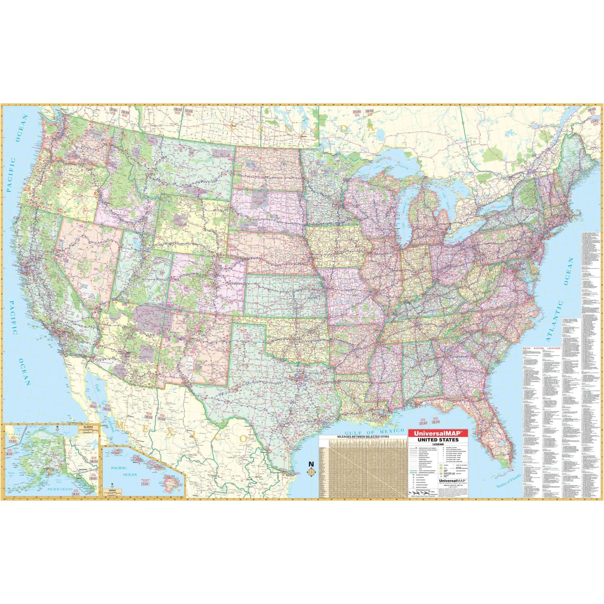
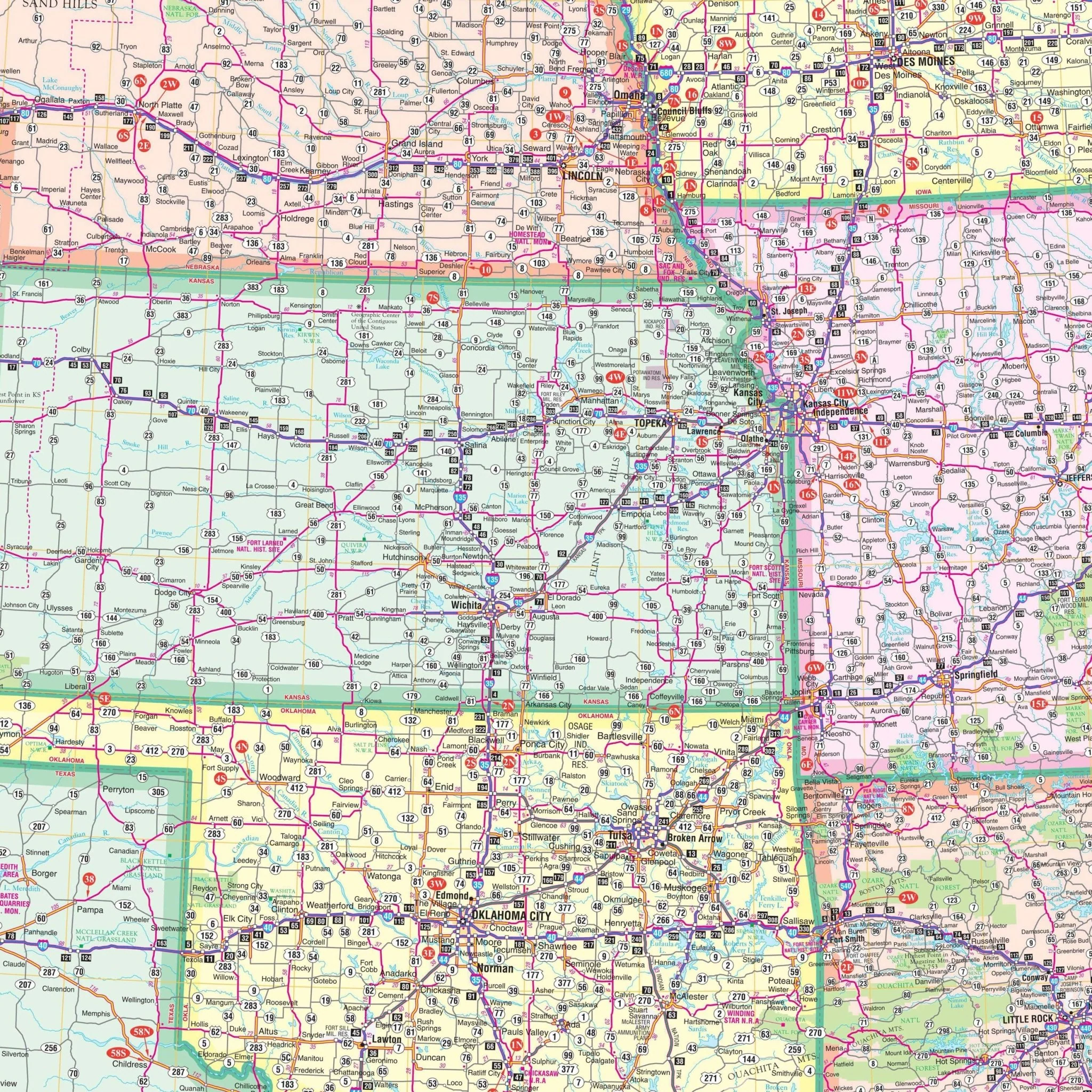
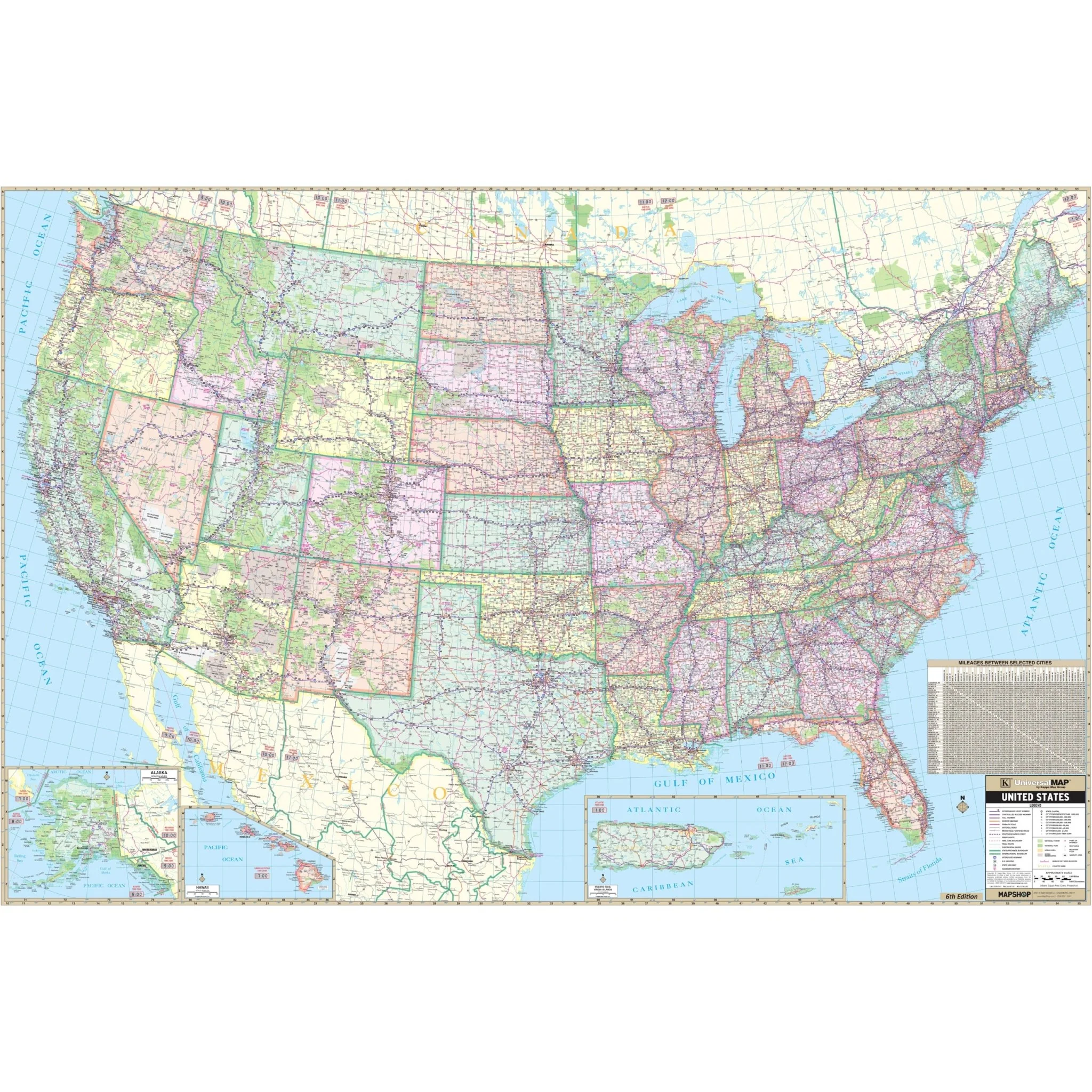
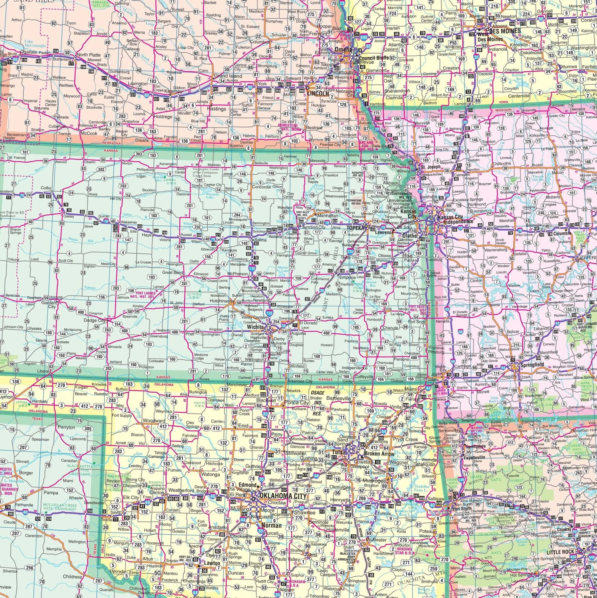
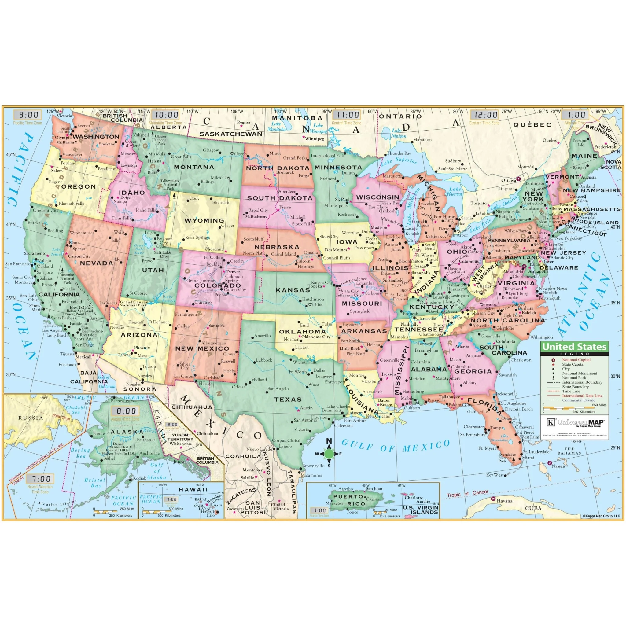
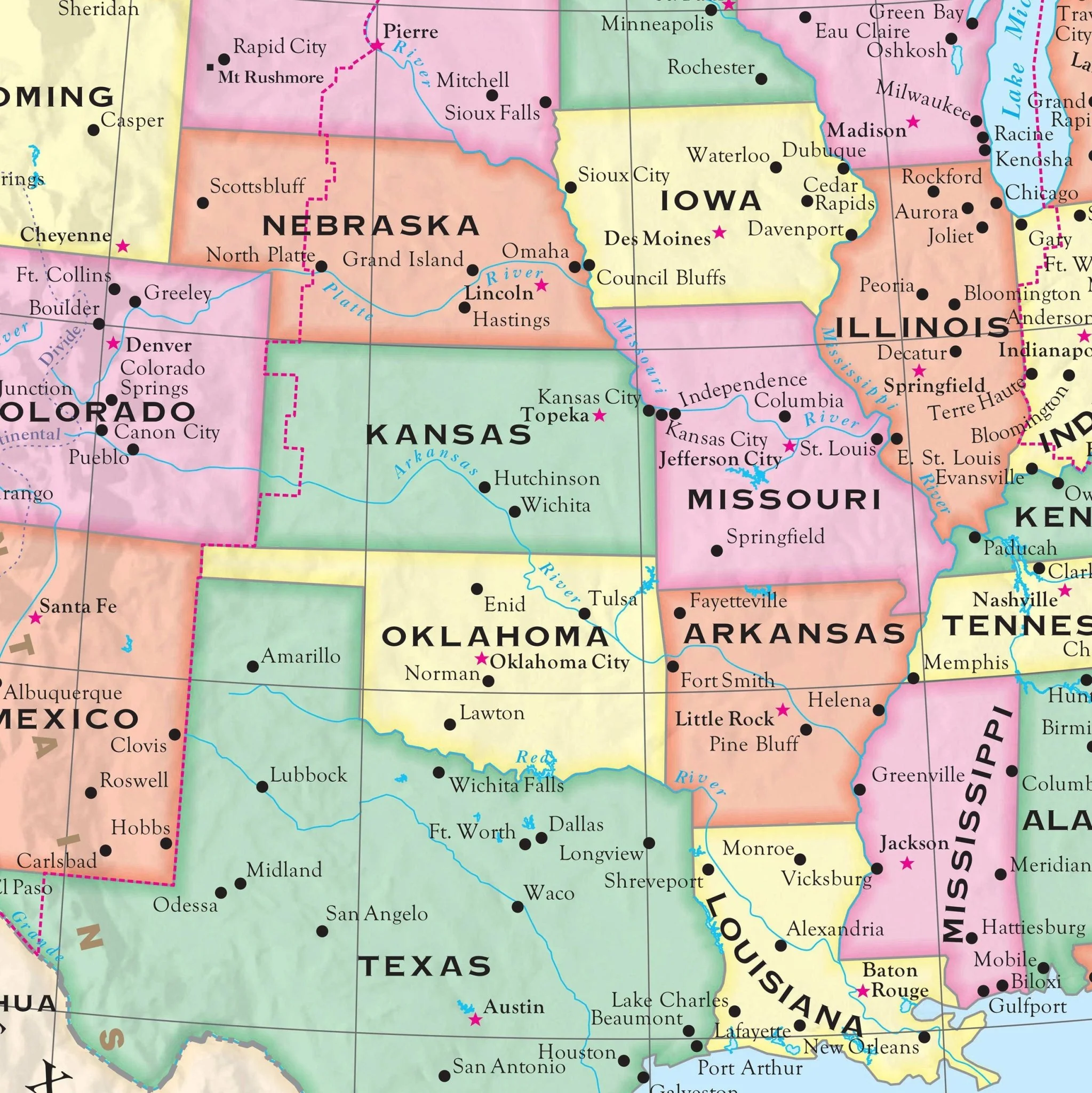
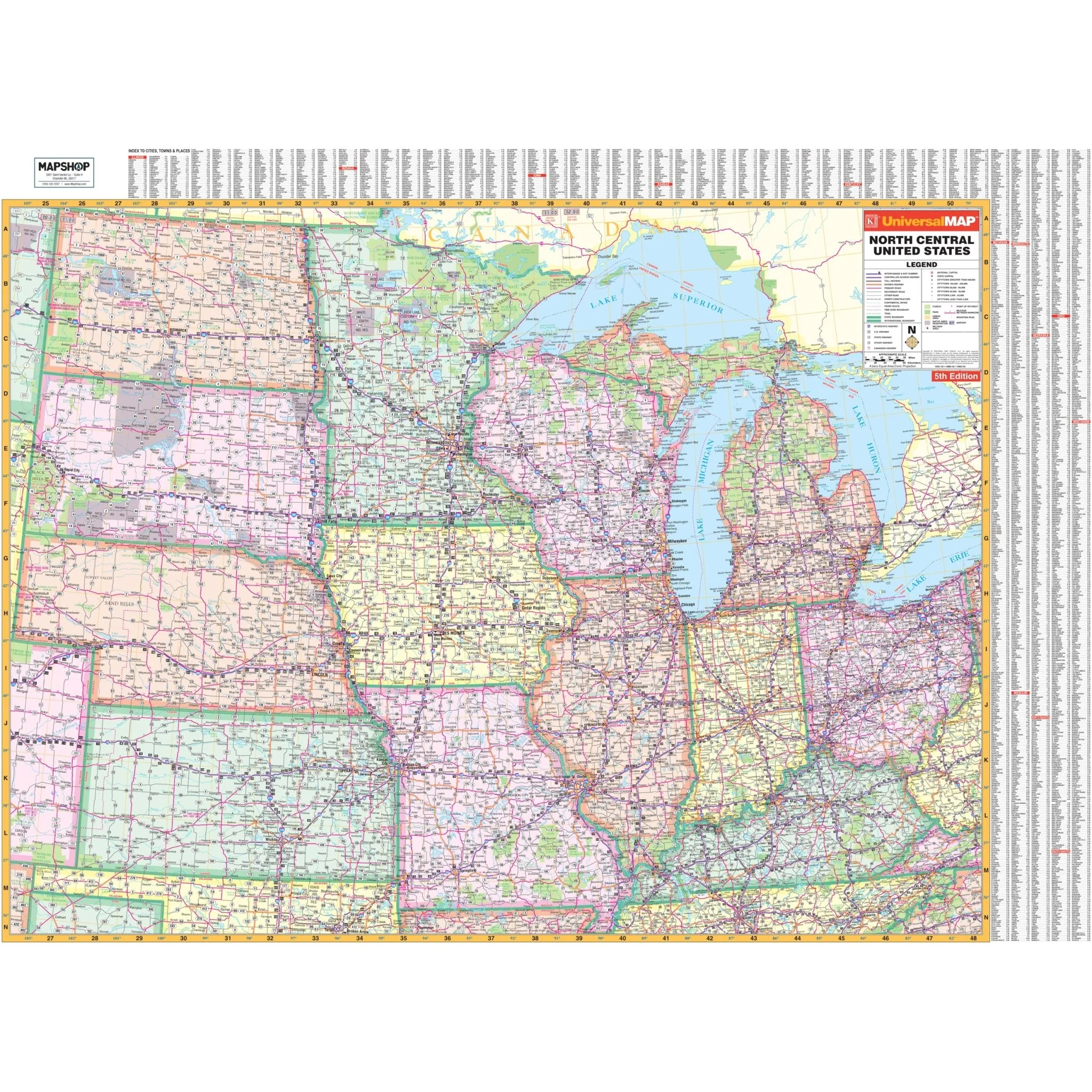
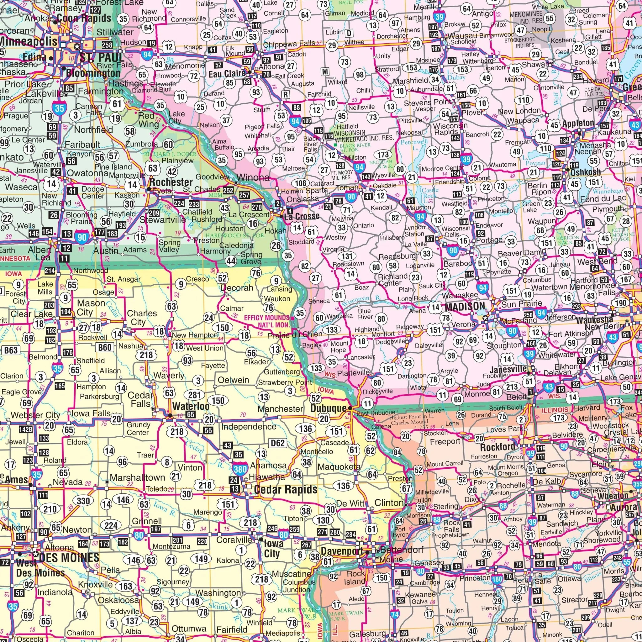
The North Central United States Regional Wall Map by Kappa Map Group displays a detailed network of highways, major roads, and state boundaries across the north-central region of the United States. It covers a wide geographic area, including the states surrounding the Great Lakes, down through the plains states to the southern borders of Missouri and Kansas. An extensive index along the map's sides lists cities and towns, which is matched with a grid for easy reference and navigation. The map also shows the topographical variations of the region, from the rugged northern landscapes to the expansive central plains, providing viewers with a comprehensive understanding of the area's physical and human geography. This map is designed to serve the needs of travelers, educators, and professionals who require a broad and detailed overview of the north-central part of the United States.
- Illinois
- Indiana
- Iowa
- Kansas
- Kentucky
- Michigan
- Minnesota
- Missouri
- Nebraska
- North Dakota
- Ohio
- South Dakota
- Wisconsin
Partial coverage includes the following areas:
- Northern Tennessee
- Northern Oklahoma
- Eastern Colorado
Boundaries are as follows:
- North: the Canadian border
- South: to show the northern portion of Oklahoma, including the city of Tulsa; Texas; Arkansas; and Tennessee–including the cities of Nashville and Knoxville
- East: to the western border of Pennsylvania; Beckley, WV; Brampton, CN
- West: to include the eastern border of Montana down to the western border of Oklahoma
Size: 65" x 48"
Published: 2013
Original: $139.99
-70%$139.99
$42.00Product Information
Product Information
Shipping & Returns
Shipping & Returns
Description
The North Central United States Regional Wall Map by Kappa Map Group displays a detailed network of highways, major roads, and state boundaries across the north-central region of the United States. It covers a wide geographic area, including the states surrounding the Great Lakes, down through the plains states to the southern borders of Missouri and Kansas. An extensive index along the map's sides lists cities and towns, which is matched with a grid for easy reference and navigation. The map also shows the topographical variations of the region, from the rugged northern landscapes to the expansive central plains, providing viewers with a comprehensive understanding of the area's physical and human geography. This map is designed to serve the needs of travelers, educators, and professionals who require a broad and detailed overview of the north-central part of the United States.
- Illinois
- Indiana
- Iowa
- Kansas
- Kentucky
- Michigan
- Minnesota
- Missouri
- Nebraska
- North Dakota
- Ohio
- South Dakota
- Wisconsin
Partial coverage includes the following areas:
- Northern Tennessee
- Northern Oklahoma
- Eastern Colorado
Boundaries are as follows:
- North: the Canadian border
- South: to show the northern portion of Oklahoma, including the city of Tulsa; Texas; Arkansas; and Tennessee–including the cities of Nashville and Knoxville
- East: to the western border of Pennsylvania; Beckley, WV; Brampton, CN
- West: to include the eastern border of Montana down to the western border of Oklahoma
Size: 65" x 48"
Published: 2013